Flying the Missouri River - July 2010
Boldly going where Lewis and Clark have gone before.
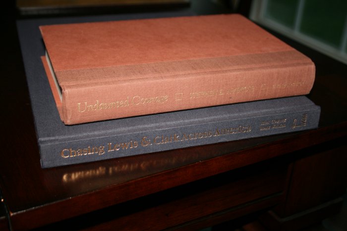
It's been four years since my last long cross-country trip -- the Oregon Trail Flight in the Citabria back in June 2006. I have great memories of that flight and have been wanting to do something similar.
When some of my high school buddies and I decided to get together at an Idaho lake for a long weekend, I figured it would be a good opportunity to fly the Missouri River -- the Lewis and Clark journey -- in the RV. On the way back I could hit AirVenture at Oshkosh. Perfect!
The RV performed perfectly, the weather was good -- mostly -- and I had a great time. See what I saw:
- July 19 - Essex Skypark, MD to Nebraska City, NE
- July 20 - Nebraska City to South Dakota border
- July 20 - South Dakota border to Mandan, ND
- July 21 - Mandan, ND to Fort Peck, Montana
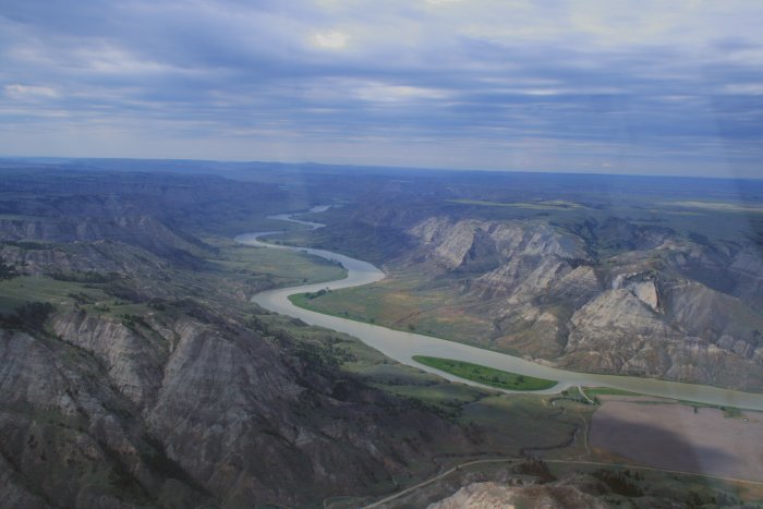
- July 21 - Missouri Breaks: Fort Peck, Montana to Winifred
- July 21 - Missouri Breaks: Winifred to Fort Benton, Montana
- July 22 - Fort Benton to Great Falls, Montana
- July 22 - Great Falls to Salmon, Idaho
- July 23-24 Williams Lake/Salmon, Idaho
- July 25 - Salmon to Red Wing, Minnesota
- July 26-28- AirVenture 2010, Oshkosh, WI
- July 29 - Oshkosh to Essex Skypark, MD
Have the fun in a long cross-country flight is planning and getting ready.
To help cope with the weather -- always a concern on a long trip like this -- I started up a subscription to XM Satellite weather which would be displayed on my Garmin 496 GPS.
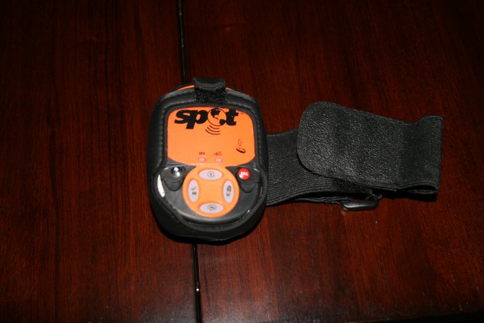
For emergency location -- I would be flying over some pretty remote country -- Lynnette bought me a SPOT2 device which is really quite amazing. It's basically a GPS receiver that can transmit position data to satellites, along with short pre-written messages. The SPOT would send my position every ten minutes; family and friends could watch my progress on a map via the Internet! I had the ability to send the following signals: SOS, I'm OK but need help, Safe on Deck, and Safe on Deck - Done for the Day. Fortunately I only needed to send the last two messages.
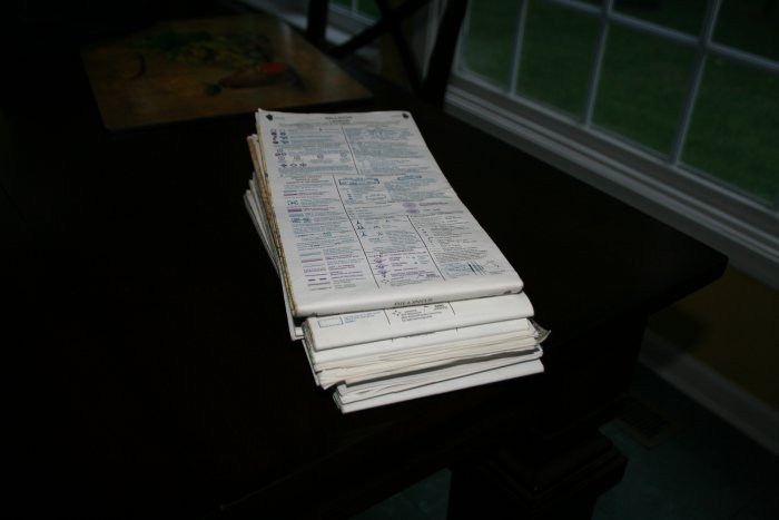
Of course, I spent a lot of time pouring over the sectional charts. This was a hard trip to plan, because it was so long. It was just difficult to look at the thing as a whole. The sectional has good detail but to see the entire picture would requiring a wall with sectionals. A USA map showed the entire thing but not in enough detail. That said, I really didn't have to worry too much about navigation on this trip, for obvious reasons -- just follow the Missouri River.
I carried a tent, cold weather sleeping bag, coat and all the usual emergency supplies. Most of them I needed to bring anyways because I would be camping at AirVenture.
Total flight time was 33.7 hours.
Next long flight: The Southwest via Sante Fe
Trail, Monument Valley, Grand Canyon