July 25, 2010 - Salmon, ID to Red Wing,
WI |
|
All too soon, our real man's weekend at the Lake was over and it was
time to head for home. I left pretty much the same way I came in --
over Lemhi Pass, north to Dillon and then to Three Forks. But then I
turned east and flew by Gallatin Airport and through Bozeman Pass where I
joined the Yellowstone River.
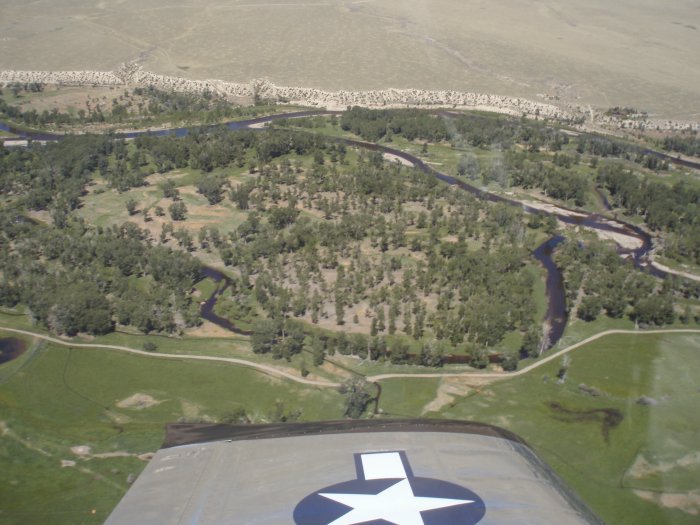
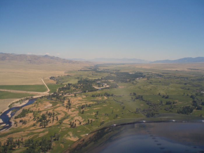
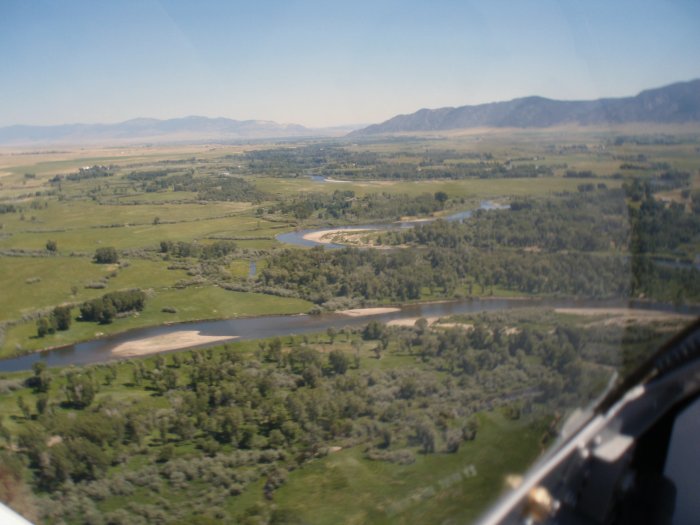
Here is my favorite river, the Beaverhead. |
|
 |
|
|
|
|
 |
|
|
|
 |
|
|
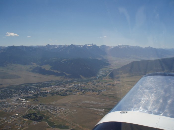
Just out of Bozeman pass, I see the Yellowstone emerging
from the south, with the snow-covered Absarok mountains in the
background. |
|
 |
|
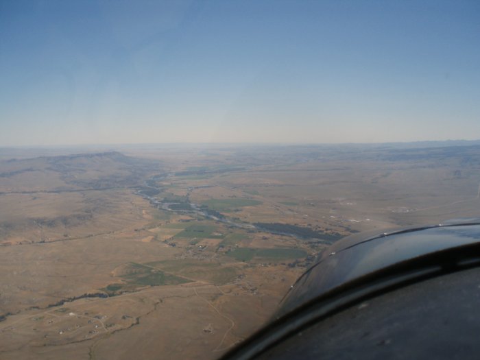
| I'll be following the Yellowstone to
Billings. But ... this is no good. |
|
 |
|
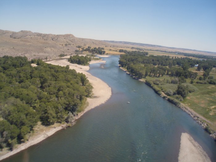
| Yes, much better. |
|
 |
|
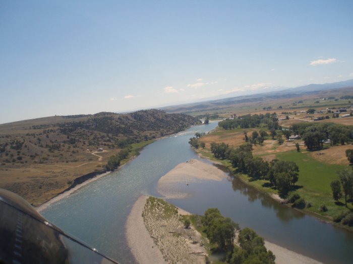
| On this Sunday, and the nice weather, I
would see lots of people fishing and boating on the river. |
|
 |
|
|
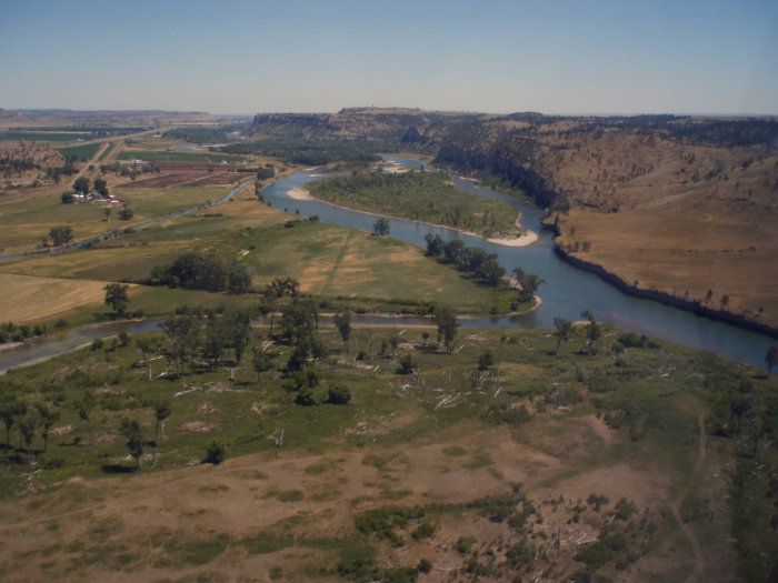
All to soon, I was getting near Billings Montana Class C
airspace. I was heading to the Little Bighorn Battlefield --
Custer's Last Stand -- anyways so I angled southeast below the Class C
airspace. |
|
 |
|
|
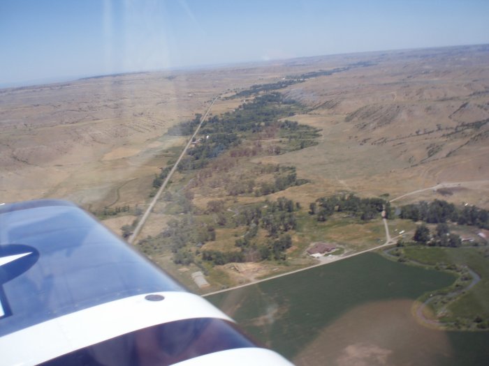
The area south of Billings was barren and undeveloped.
There was no green until I crossed the Bighorn River. |
|
 |
|
|
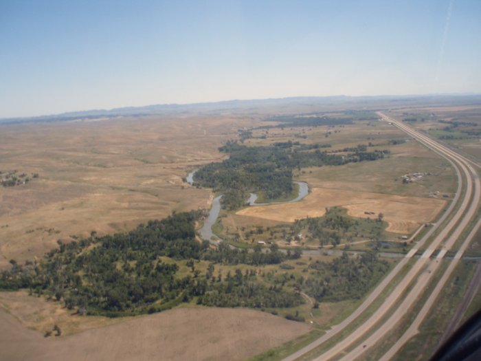
And then again until I reached the Little Bighorn
River. I followed the Little Bighorn south until I reached the
battlefield site. |
|
 |
|
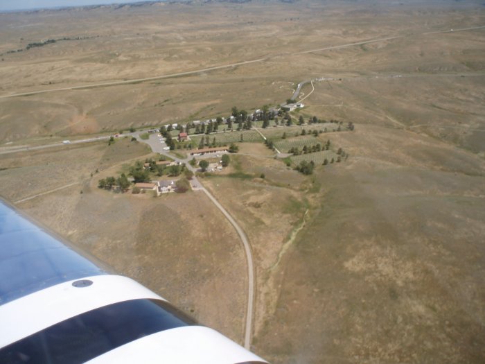
| Lynnette and I had visited here once
back in the early 80s. At the time, I thought it was out in the
middle of nowhere. But from the air, with the big highway close by,
it didn't seem as remote. |
|
 |
|
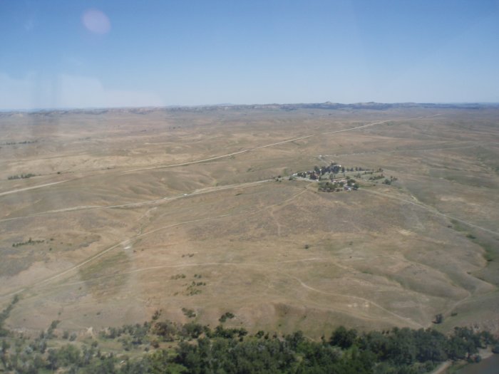
| I flew by the battlefield site, then
came back from the south. |
|
 |
|
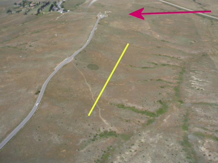
| The red arrow points to the memorial
marking the location where Custer was found. From the air, I could
see the white gravestones which mark where each soldier was found.
The gravestones don't show up in this picture, so I inserted the yellow
line to show where the bulk of the white gravestones are.
The Cheyenne, Sioux and Arapaho were camped down by the river --
to the photo's right -- and came swarming up the hill to attack the 7th
Cavalry soldiers. A great book on the battle is Son
of the Morning Star by Evan S. Connell |
|
 |
|
|
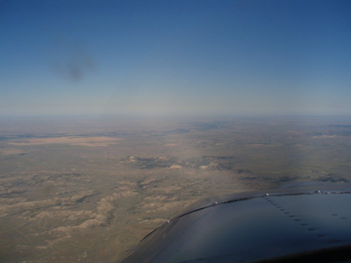
Leaving the battlefield area, I pointed the RVs nose to
the northeast and climbed up to 9,500 feet. The sightseeing portion
of the trip was over. It was time to make some speed and head for
Oshkosh. My immediate destination was Wiley airport about 90 miles
away over some decidedly remote and undeveloped country. Up high the
air was smooth and cool, and with the help of a tailwind, I was making
over 200 mph. |
|
 |
|
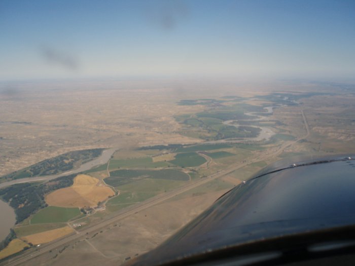
| As I neared Wiley, the Yellowstone
river came into view again. |
|
 |
|
|
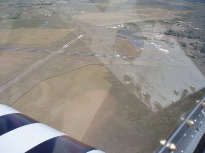
Wiley is a pretty good sized airport with the only AvGas
around for about a radius of 100 miles. It is near the good-sized
town -- for these parts -- of Miles City. |
|
 |
|
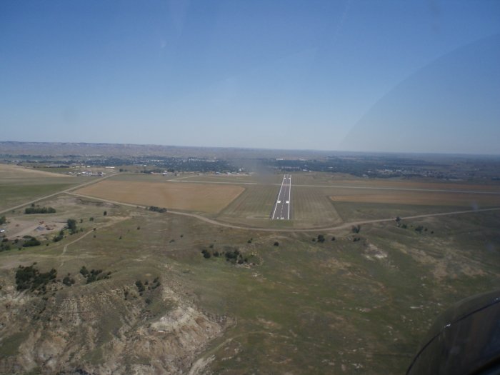
| On final approach, I had the airport to
myself. |
|
 |
|
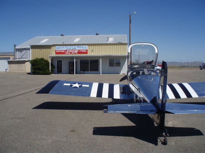
| The FBO facility. Another nice
airport -- friendly staff, computer, air conditioned lounge. But I
had places to go and people to meet so I didn't stick around. I was
brown-bagging it today; my friends had made me some peanut butter and
jelly sandwiches. |
|
 |
|
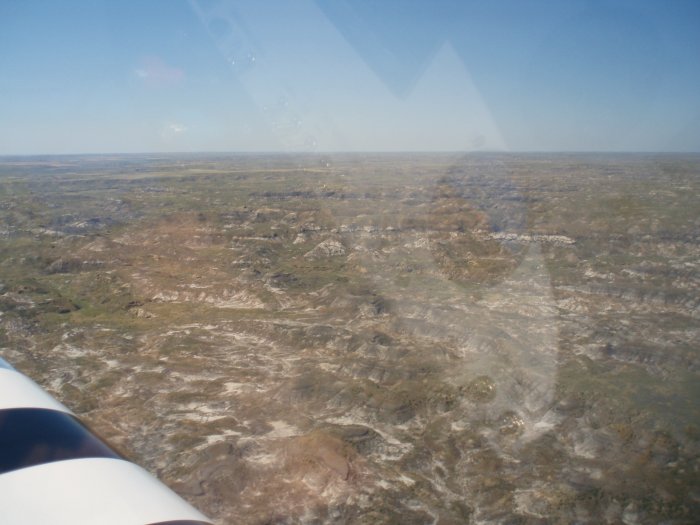
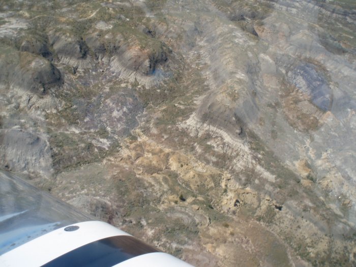
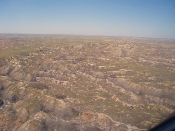
| There were some classic badlands in the
vicinity of the airport so I checked them out at low-level before climbing
to altitude. |
|
 |
|
|
|
|
 |
|
|
|
 |
|
|
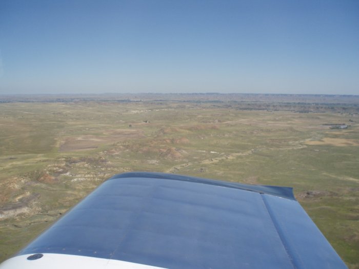
Climbing out. |
|
 |
|
|
This leg of the trip I was heading almost due East but by happy
coincidence was following highway 12 and a string of airports spaced about
every 30 miles or so. I just booked along at 9,500 feet making 200
mph and enjoyed the ride.
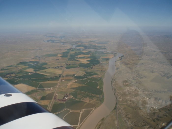
This is a shot of the Little Missouri River which crossed my path,
running north to south. |
|
 |
|
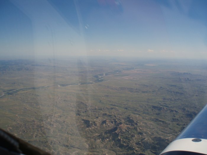
| I think this was North Dakota
but is still a pretty remote and undeveloped area. |
|
 |
|
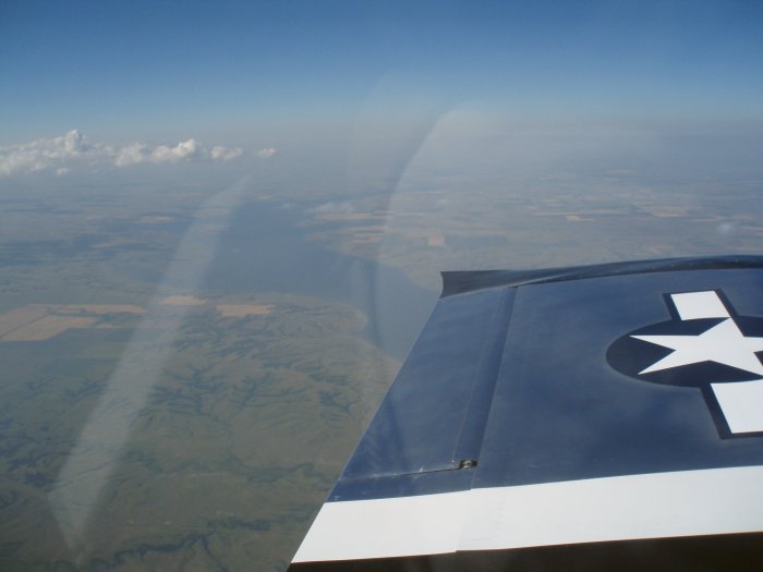
| Crossing the Missouri River which you
can see just above and behind the wingtip. It looked familiar as I
had flown over it four or five days ago. I'm in South Dakota
now. |
|
 |
|
|
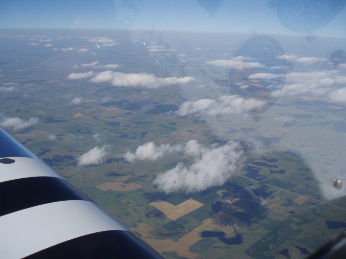
East of the Missouri, farmland has replaced
badlands. |
|
 |
|
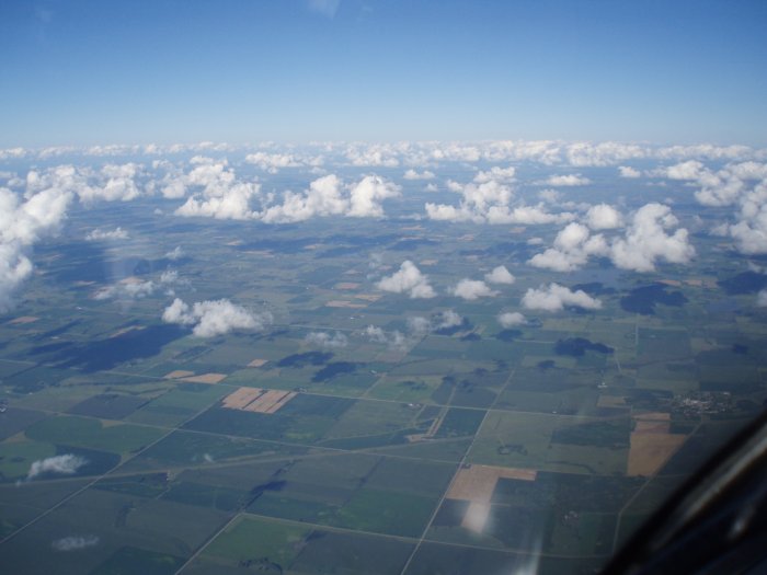
| The Great Plains, breadbasket of the
world. |
|
 |
|
|
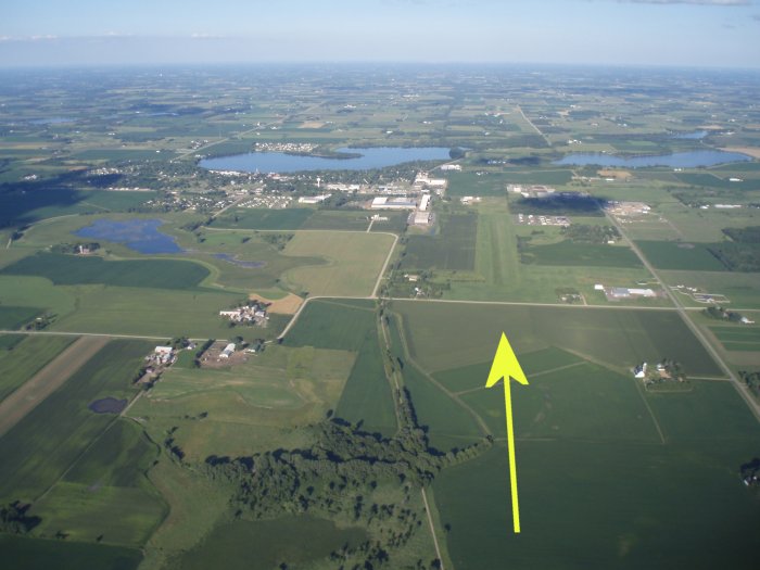
Wish I had the time to land on this grass strip.
|
|
 |
|
|
After high school, I applied to attend the U.S. Naval Academy but
wasn't accepted. They did give me the option of going to a prep
school in Mound, Minnesota -- at my Dad's expense -- where I did well and
was accepted into the Naval Academy the following year. I was only
in Mound for six months but I have vivid memories of it. It was the
place where I learned what it meant to really study, and that I could do
well academically if I studied hard.
I was there from September to November and I remember it being very
pleasant. I went home for the month of December, then back from
January to March which I remember as being unbelievable. Mound was a
small town and I can remember walking down main street and seeing the
temperature on the local bank sign reading minus 30. I can remember
walking on a lake through snow, during a snowstorm, not being able to see
the shore. It was the coldest place I've ever been and I've lived in
Maine and spent time in Keflevik, Iceland!
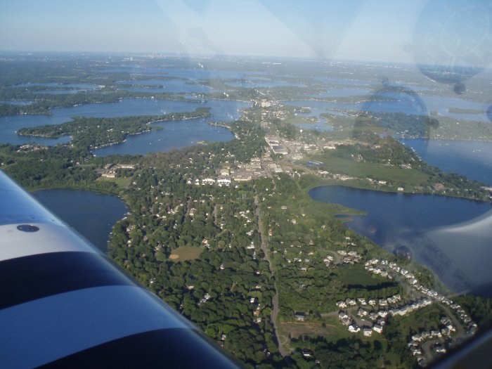
Anyways, I wanted to fly over Mound and see it from the air.
Mound is in the center of this picture. This picture didn't
capture it but the Minneapolis skyline is in the background and isn't
really that far away. I found the town of Mound easily enough --
there was a watertank with "Mound" written on it. But I couldn't
recognize a single thing from when I had lived here 34 years ago. I
flew around and around but no joy. It was kind of
depressing. I think what happened is that Minneapolis expanded
in the last 34 years and Mound went from a small sleepy town to an upscale
suburb. |
|
 |
|
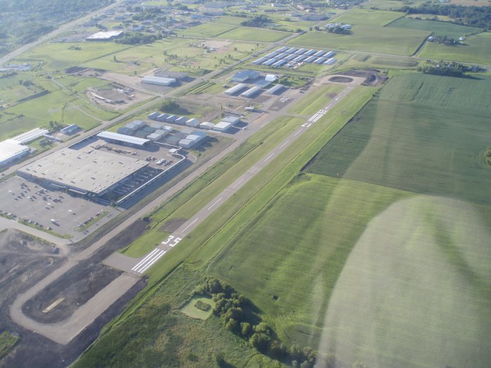
| I was running low on gas so I flew to
nearby Buffalo Airport (CFE). I probably would have stayed here had
they had a courtesy car but they didn't so I got gas and continued on,
although it was getting late. |
|
 |
|
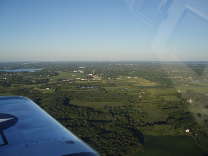
| I went circumvented Minneapolis to the
south and headed southeast towards Oshkosh. I didn't have enough
daylight to make Oshkosh or Fond Du Lac so I used the AOPA directory on my
GPS to find an airport along my route that had a courtesy car.
|
|
 |
|
|
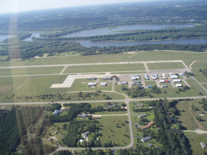
I found one called Red Wing (RGK) so I landed there.
Red Wing is right on the Minnesota-Wisconsin border. The town and
airport are alongside the Mississippi River as well. They had
not one, but two courtesy cars. Unfortunately, the airport was
deserted, the keys weren't in the cars, and the office was locked
up. I only had about 30 minutes of daylight left so I was pretty
much stuck. My options were A) pitch my tent, or B) bite the bullet
and get a taxi.
I had flown almost 7 hours today, was grimey and tired, so
I went with option B and took a taxi to a Super8.
|
|
 |
|
|
|
|
|
|
|
|


