Sun N' Fun Trip - Day Two
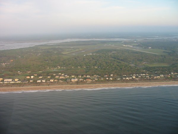
Today's flight was one of my most memorable ever. I got up around 0600 and was at the airport by 0700. The cab driver was also a private pilot and I think I talked him into building an RV! It had rained hard overnight so the Citabria was wet. But now the skies were clear; another beautiful morning for flying. Or so I thought. I took off and circled around Amelia Island a little bit, then headed west to take the northern route around the Jacksonville International Airport Class B Airspace. Almost right away I flew under a cloud ceiling. I was low to begin with -- 1000 feet to get under the Jax Class B but I had to descend even lower to stay under the clouds. I had to go down to 700 feet, then 500 feet. Over nothing but trees. And things werent getting any better. I decided this wasnt working, so made a 180 degree turn and headed back east. I figured that if Amelia Island was clear, then maybe the way down the coast was clear.
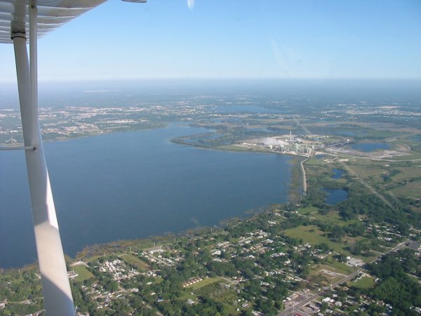
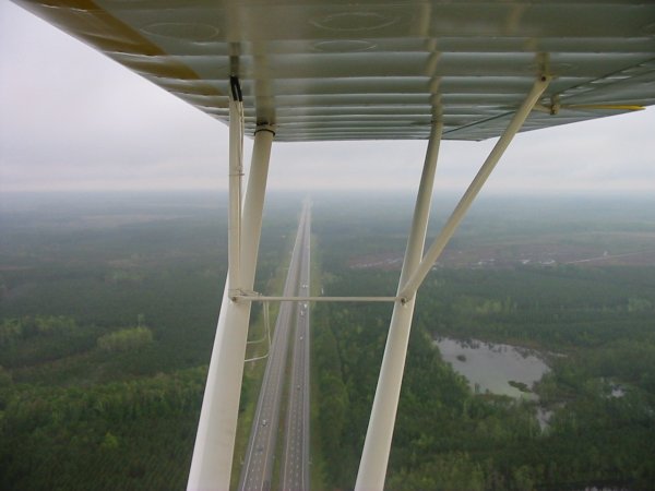
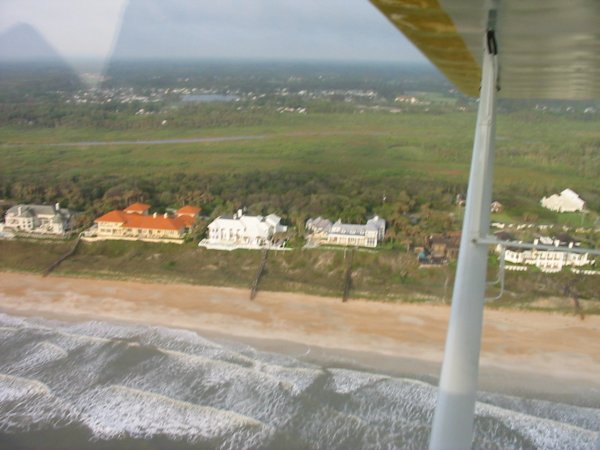
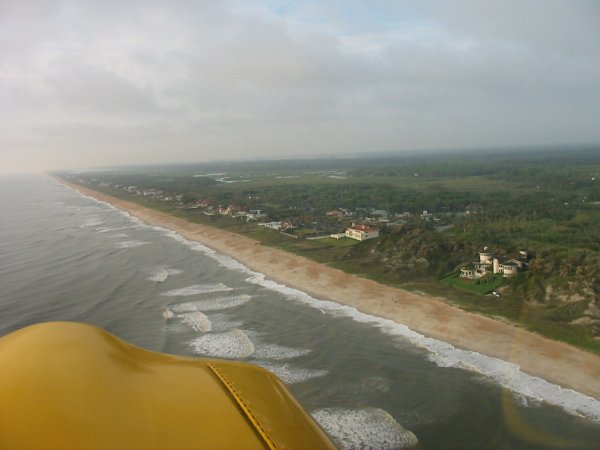
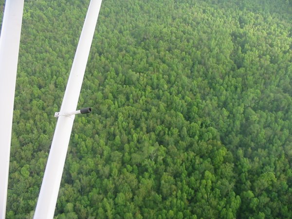
Back towards the coast, it wasnt clear anymore, but the clouds were higher and lighter, and I was able to transit at 1000 feet under the ceiling. This route required detouring around a nuclear power plant, then contacting the Mayport Naval Air Station tower on the radio to get clearance through their Class D airspace. They gave me permission but said not to over fly the runway. Once clear of Mayport, I flew down the beach at 500 feet. Soon I began seeing some seriously fine residences. And not much else. Beach house, road, forest. I turned inland just prior to reaching St. Augustine.
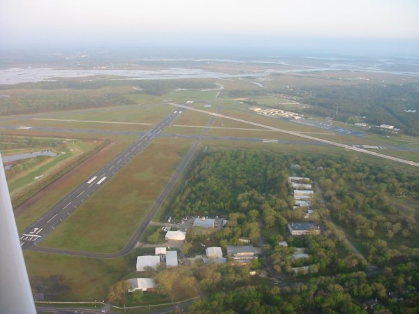
Fernandina Beach Airport (55J)
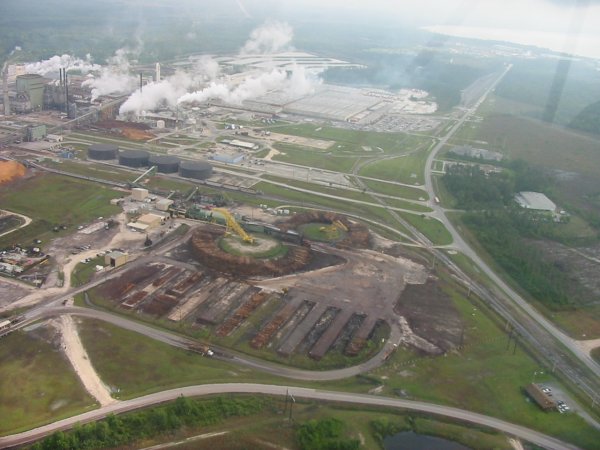
A huge timber processing facility. Those donut circles are made up of thousands of big logs.
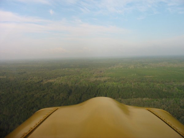
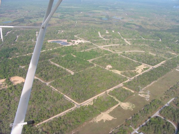
I squeezed between some restricted areas -- gotta love that GPS -- and reached good flying country. North of Ocala I came across a pretty marsh and lake area. Perfect for a little low flying. Perfectly white birds against the emerald green grass and blue water would take wing as I approached. I can say it really doesnt get any better than this for flying.
I started flying over these large fields with grass that looked like greens on a golf course.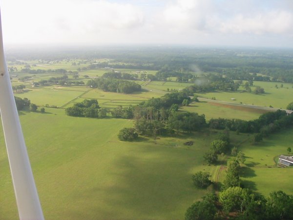
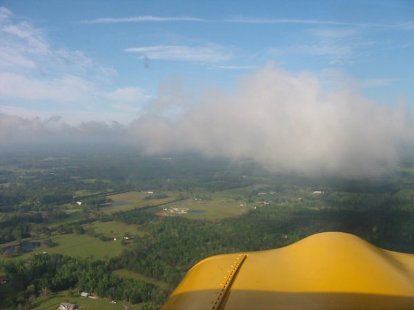
The clouds suddenly started breaking up and in a few minutes, there were a bunch of cumulous clouds at 1000 feet perfect for some cloud surfing! After only about five minutes, the clouds dissipated, and there was nothing but blue sky.
I had considered stopping at Ocala -- 90 miles north of Lakeland -- for a break, but now with the blue skies and exhilarated from flying low and cloud surfing I was pumped. I was ready for final challenge: landing at Sun 'N Fun.
About 40 miles out of Lakeland I turned on my strobe and landing light. 30 miles out I could see a power plant and wondered if that was the Lake Parker power plant which is the initial point. Sure enough, it was. As I approached I noticed a Mooney passing me on my left, same altitude. I figured since he was faster, he would probably cut across in front of me and he did. I ended up following him in. Ahead of him were two highwings. I flew over the power plant heading west at 100 knots/1200 feet per the Notam. This wasnt far from top speed for the Citabria. I listened to a couple of pilots calling approach on the radio a clear sign they hadnt even read the Notam. Unbelievable. The controller handled them very pleasantly. I turned south the same place as the Mooney and switched to the Tower North frequency. Things started happening very rapidly at this point. Everything was exactly per the Notam. I was heading for the blue terminal building. One by one, the planes ahead of me were instructed to turn downwind. Nothing was said about altitude or speed. Soon it was my turn to turn downwind. Then it was turn base, then final and cleared for landing. It was a short base and final. I was descending and so my speed was over100 mph, close to 120mph. It wasnt a problem, because they wanted us to land way down the runway. On final, I slowed the plane down, pulled flaps at 80, and got ready to land. The tower told me to fly down the runway so I did. Finally I was relieved to get permission to touch down because I was worried about the Mooney in front of me. There was a lineman at the end of the runway. I turned off, showed my General Aviation Camping sign, and in less than three minutes was parked in the airplane camping area. I had made it!
The power plant at Lake Parker.