April 12, 2005 - Sun 'N Fun
|
|
I spent Monday night packing. I used a
checklist because on a cross-country trip like this there are a lot of
things you need that can be a real inconvenience if you forget.
Stuff like the Sun 'N Fun arrival procedures, sunscreen, credit card,
charts, etc.
I got up around 0445 and drove out tot he airport.
It took longer than expected to load the Citabria so I didn't take off
until 0700. It was a beautiful morning, like almost every morning I would
see the entire trip.
The faster route would be to head south initially,
and go through Annapolis, Patuxent River and Norfolk, but I had done that
a couple of times recently and was bored with it. I decided to go
fly east to Harper's Ferry, then south via the Shenandoah Valley.
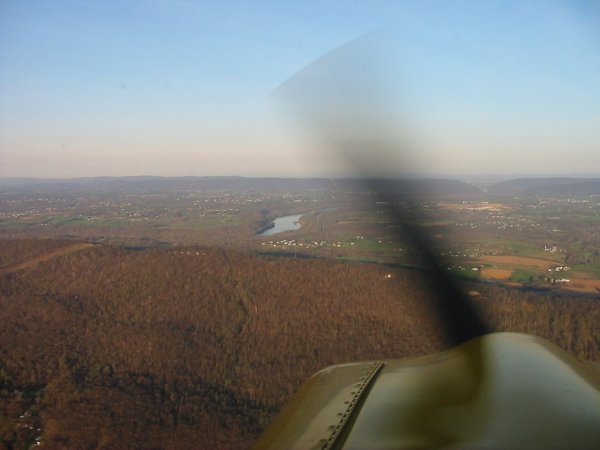
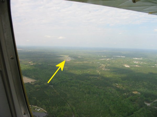
It was the right decision. The sun was low in
the sky behind me lighting everything else. I've flown this route
many times but this was the best I've ever seen it. That is the
Potomic River in the center of the picture. The break in the
mountains to the right is Harper's Ferry. Jan Scott's Flying Cow
airfield is in the valley left (south) of the Potomac.
At this point, I had a great tailwind, and was
booking at 135 mph groundspeed. |
|
 |
|
|
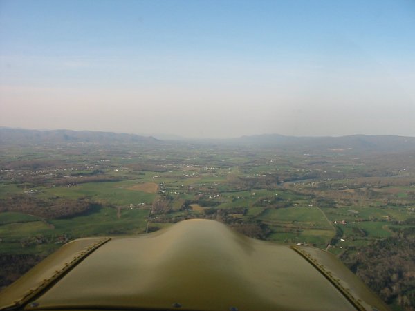
At Harper's Ferry, I turned south and flew through the Shenandoah
Valley. Everything was bright green. Really beautiful country.
|
|
 |
|
|
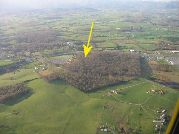
Luray Caverns are underneath that tree covered hill. We went there a
few years ago; worth seeing if you've never been. |
|
 |
|
|
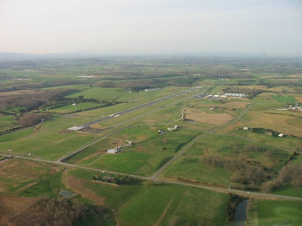
Towards the southern end of the valley I landed at Shenandoah Valley
airport (KSHD) to fuel up. Gas prices were a little high but they
made up for it by having an on-field restaurant. I enjoyed a nice
breakfast.
|
|
 |
|
| Soon after taking off, I came to
the the Eagle's Nest airport (W13) which is one of those "airport
communities" where instead of a garage, you have a hangar. Someday I
want to live at a place like this. No more 50 minute drive to the
airport. You go from the kitchen to the garage/hangar, and in five
minutes you're airborne.
I was here for the Vintage Sailplane Association's glider regatta here a
few years ago. Unfortunately there was absolutely no lift so we didn't
do much quality soaring. |
|
 |
|
| About 30 minutes out of Shenandoah
Valley airport, the nice weather disappeared and things started clouding up.
Then it started raining. But it was a light rain and I could see fine
so I continued. The rain only lasted for a half an hour or so.
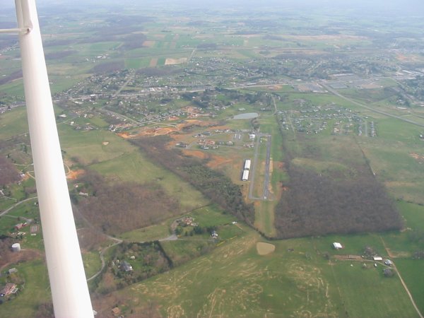
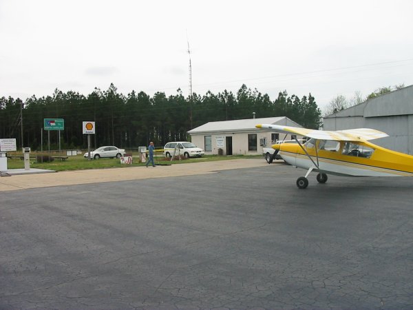
My next stop was at Anson County airport (KAFP), Wadesboro, North Carolina,
where I gassed up. The little building you see is the FBO terminal.
Even though the Citabria holds enough gas to fly for five hours, I stop
after about two hours, just to take a break and stretch my legs. I
always gas up if I can, just to give the airports some business.
Besides, I'm one of those pilots who never has enough gas. |
|
 |
|
|
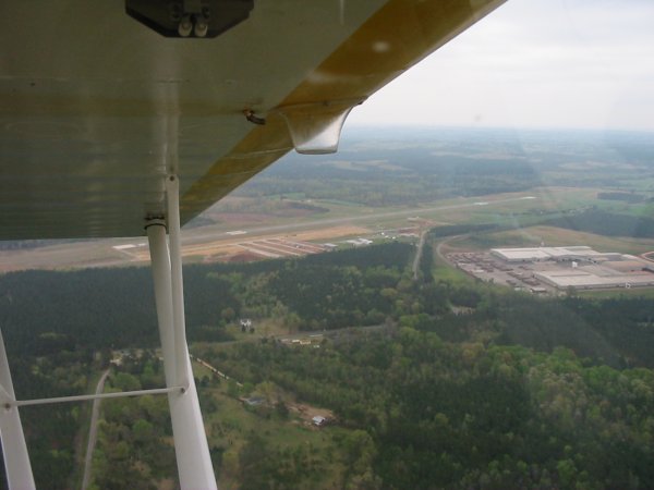
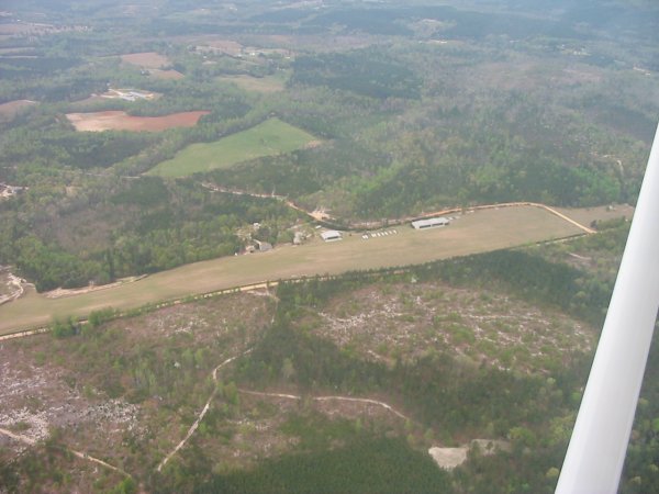
Anson County from the air. Nice long runway. They are building
new hangars and a new terminal building. |
|
 |
|
|
Along the way, I flew over Bermudian Valley which is a big glider
training operation. Those white dots between the two hangars are
glider trailers.
|
|
 |
|
|
About an hour out of Anson, I started getting really tired. There
weren't a lot of airports with facilities around at this point in my route
so it was another hour before I could land at Ridgeland Airport (3J1),
South Carolina (just south of Savannah). It was well-maintained
airstrip with a self-service fuel pump and little, but new-looking pilot's
building with restrooms and a pilot's lounge. I filled the Citabria
up, called Lynnette, then laid down on a couch. An hour later I
opened my eyes, jumped in the Citabria and roared off, feeling 100%
better! |
|
 |
|
|
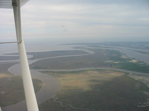
A little while later, the scenery really improved when I hit the coast.
Between the Shenandoah Valley and the coast, it pretty much is all forest
with some farms here and there. But now it would be water, marsh and
some land.
|
|
 |
|
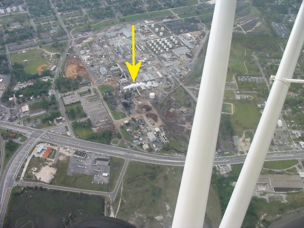
| This is NOT the direction you want
to see the smoke blowing when you are flying along. I was only making
85 mph over the ground because of at 15 mph headwind. |
|
 |
|
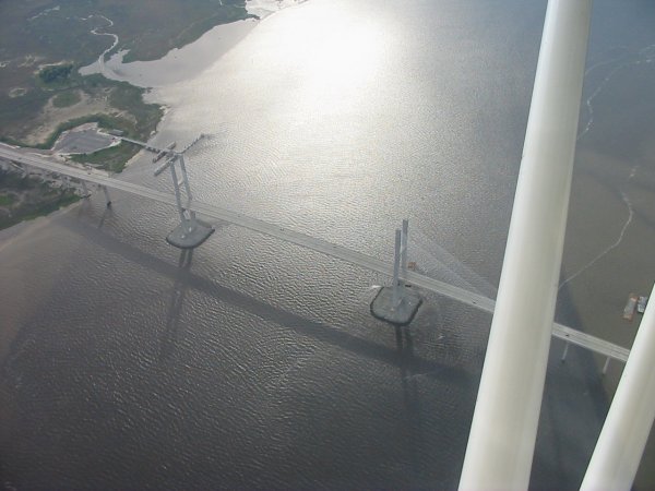
| North of Jacksonville, Florida.
I remembered this cool-looking bridge from my Jax P-3 Orion squadron days 10
years ago. |
|
 |
|
| My destination for the night was
Fernandina Beach airport(55J), which is on Amelia island, northeast
Jacksonville. Even though I felt a lot better than I had in Ridgeland,
I had had enough flying for one day.
I landed around 6PM. Fernandina Beach has a nice, big airport with
an attended terminal building. The attendant found me a room in town
at the Ramada Inn. I talked to another pilot in the terminal building
was also going to Sun 'N Fun the next day but had been unable to download
the NOTAM. I offered to let him look at mine, and gave him one of the
little quick reference bookets I had. The terminal had a copy machine
so he was able to copy the NOTAM. He was so happy that he gave me a
ride to the Ramada Inn which was reallyh nice of him and saved me cab fare.
He even gave me a little scenic tour of Amelia Island.
I had suspected things might be a little expensive here since Amelia
Island was sort of a resort. But I still winced when I found out how
much gas was: $4.25. I must say that the terminal building has
some of the finest aviation art I have ever seen. I had a nice dinner
at a beach-front restaurant and got a good nights sleep at the motel. |
|
|
|
|
|
|
|