February 13, 2005 - Citabria Flight
|
|
Pretty good flying weather on this Sunday. Bruce and I are headed
north for the 2nd Annual Valentine's Day Citabria Luncheon at Lancaster,
Pennsylvania.
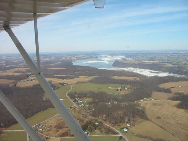
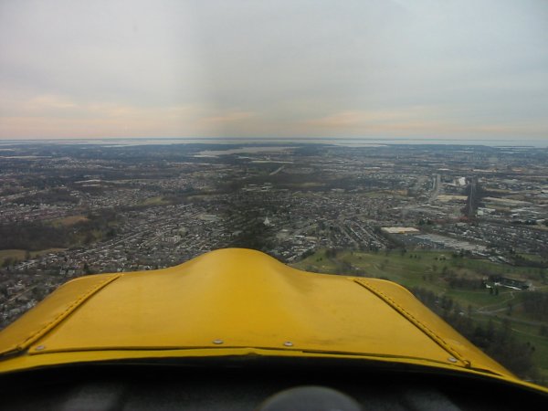
In this picture, we are headed north. That's the Susquehanna
River heading northwest. It's a pretty good size river. The
white you see isn't glare, it's ice.
I recently read Newt Gingrich's fictional historical novel
Grant Comes East in which most of the action occurs in the triangular
area between Washington D.C., Baltimore and the Susquehanna. It's
kind of neat flying over it. You can understand how geography
determines the battlefield. I recommend Grant Comes East and
Gingrich's previous
Gettysburg. Very similar in style to Michel and Jeff Shaara's
Civil War and
American Revolution historical novels. All good, if you
like that sort of thing. |
|
 |
|
|
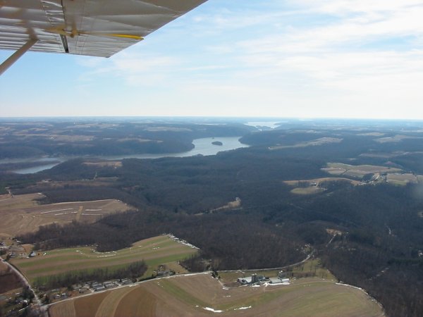
This is the view from the right side of the Citabria, with the
Susquehanna heading southeast and running into the Chesapeake Bay.
|
|
 |
|
|
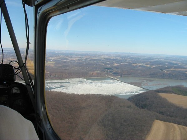
And the view straight ahead. That's a Dam. |
|
 |
|
|
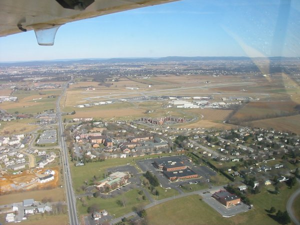
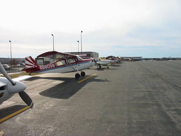
Our destination: Lancaster Airport. It's a towered airport,
so we got to practice our radio communication skills. Or lack
thereof. Actually, we didn't do too bad. About the only good
thing you can say about the Washington Air Defense Identification Zone (ADIZ)
procedures is that it has forced us to improve our radio communication
skills.
|
|
 |
|
| I wasn't able to make last years
lunch -- only two Citabrias made it. But this year there were five of
us. It was nice finally meeting some of the Citabria Yahoo Group
people face-to-face. Lancaster has an upscale on-field
restaurant. We swapped pilot stories for over two hours, then it was
time to head for home. It's a good group. Later this year, we're
all going to stay overnight at a fly-in, and then at dawn, take-off as a
group and fly from grass field to grass field. Now that is going to be
a great time! |
|
 |
|
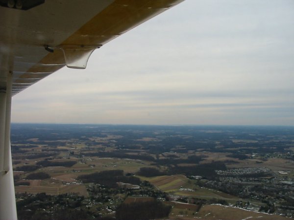
| Heading south. My digital
camera wasn't good enough to capture it, but my intent was to capture the
incredible visibility this day. You can't tell it from this image, but
we could see the eastern shore (of the Cheasapeake Bay). The GPS said
we were 40 miles away. And I estimate we could see another ten miles
beyond the eastern shore. We had visibility of 50+ miles. I know
that is no big deal in the west, but it's extremely rare here. We
could see Baltimore very clearly. |
|
 |
|
|
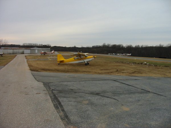
We stopped at Clearview airport to buy oil from the aviation store that's
on the field. I made the landing on 32 which is the downhill runway.
There was almost no wind so I had to really watch my speed and make a good
landing. I did fine but the adrenaline was pumping, I can tell you. |
|
 |
|
|
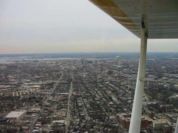
Baltimore, looking from the North. I need to get a better digital
camera. This should have been a great shot.
|
|
 |
|
|
A familiar view -- Essex Skypark dead ahead. |
|
 |
|
|
|
|
|
|
|
|