Great Abaco to Eleuthera |
|
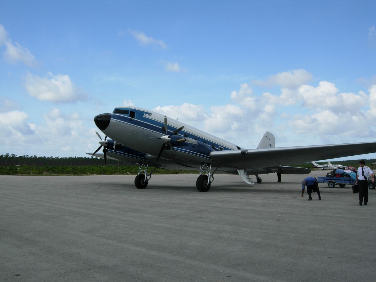
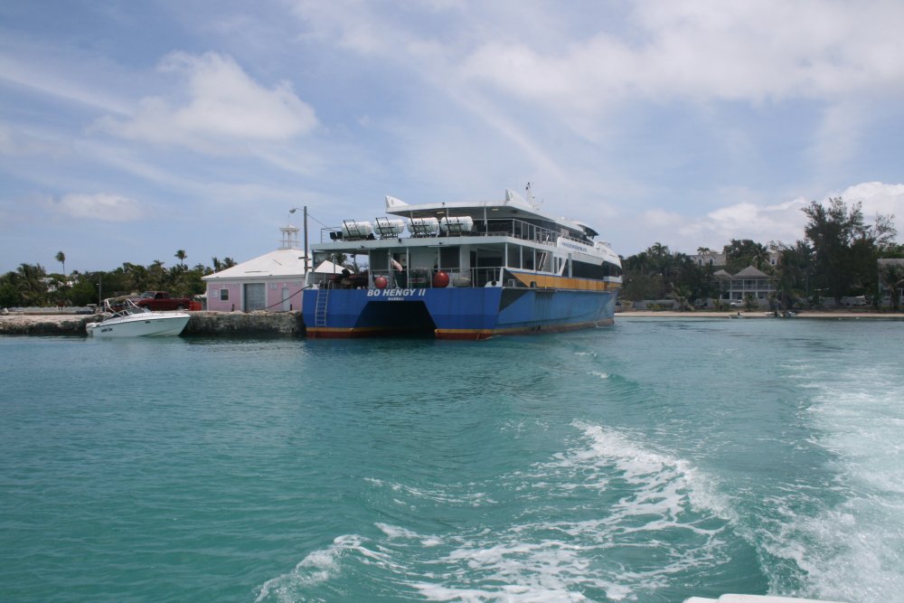
Monday morning we caught the first ferry back to Marsh Harbor and then
a cab to the airport. Since we would be travelling in the
Bahamas for the next few days, all we had to do with customs was
have them stamp our inter-island permit paper. No fees. On the
ramp was this DC-3 with funky looking engines and props on it. |
|
 |
|
|
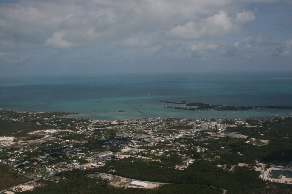
One last look at Marsh Harbor with
Great Guana Cay in the distance before heading south to Eleuthera
Island. |
|
 |
|
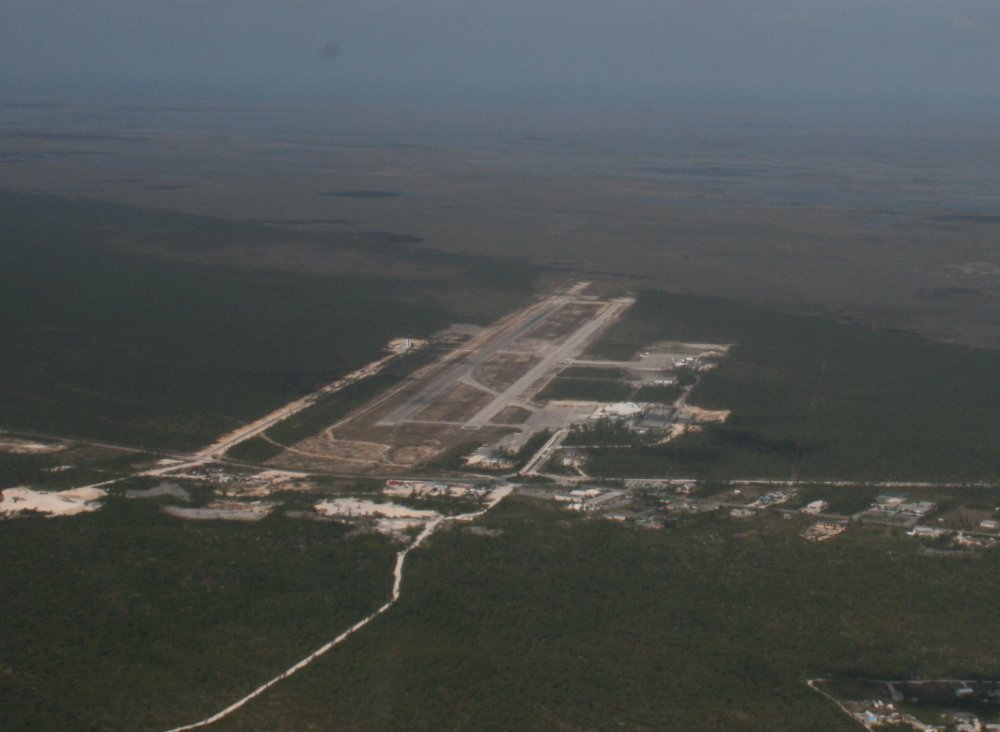
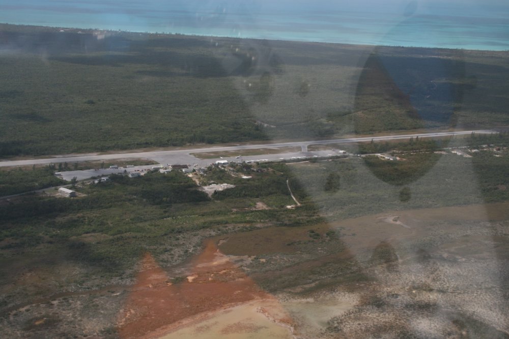
| Looking down at
Marsh Harbor airport. |
|
 |
|
|
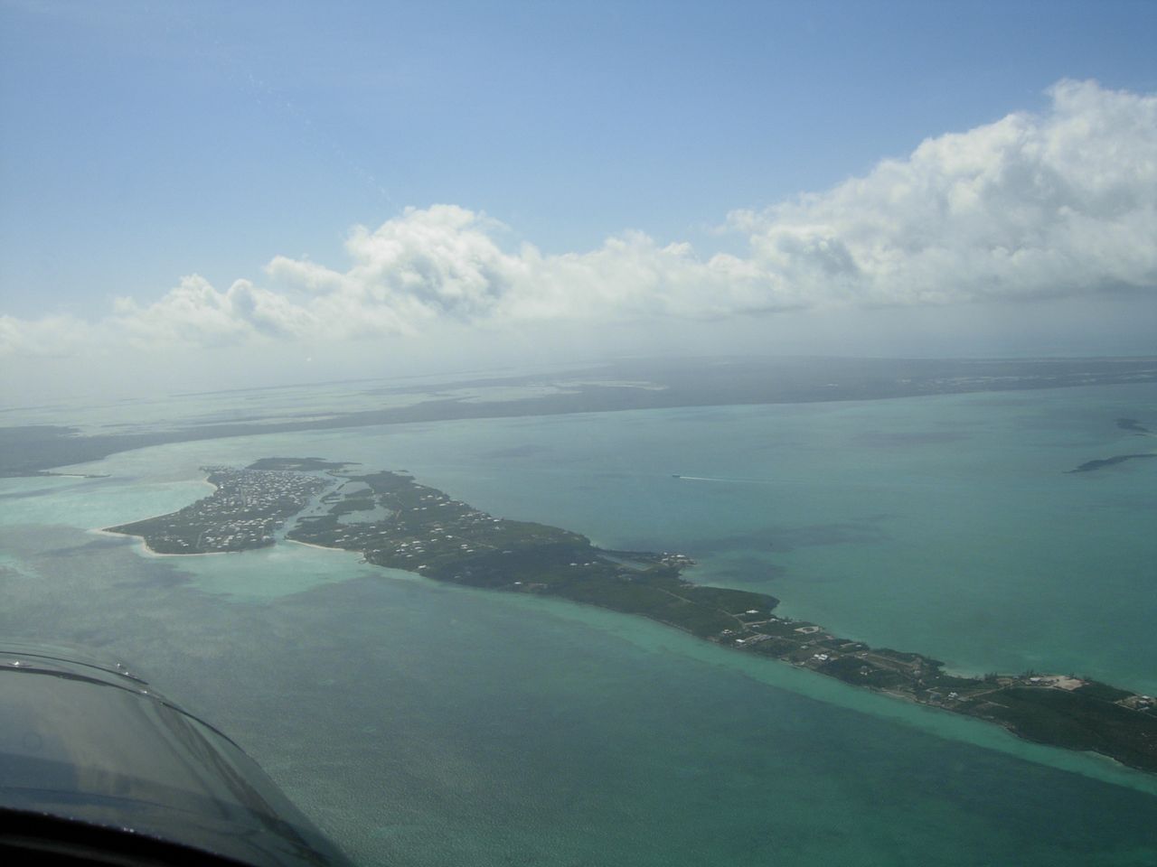
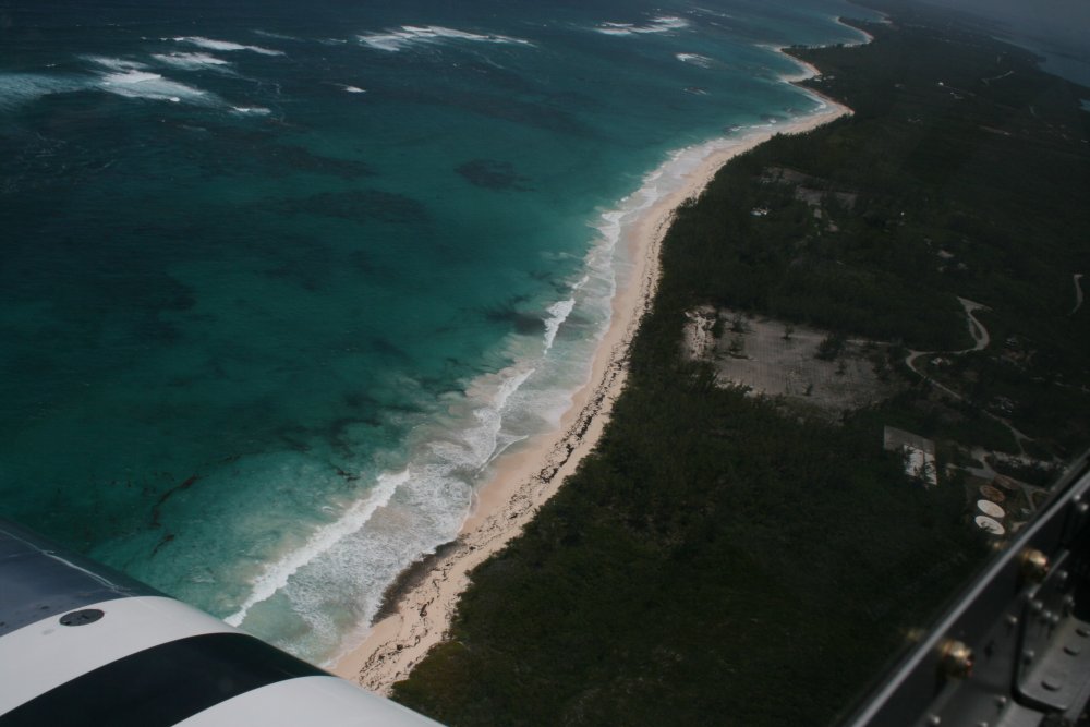
Heading down the eastern coast of Great
Abaco. |
|
 |
|
|
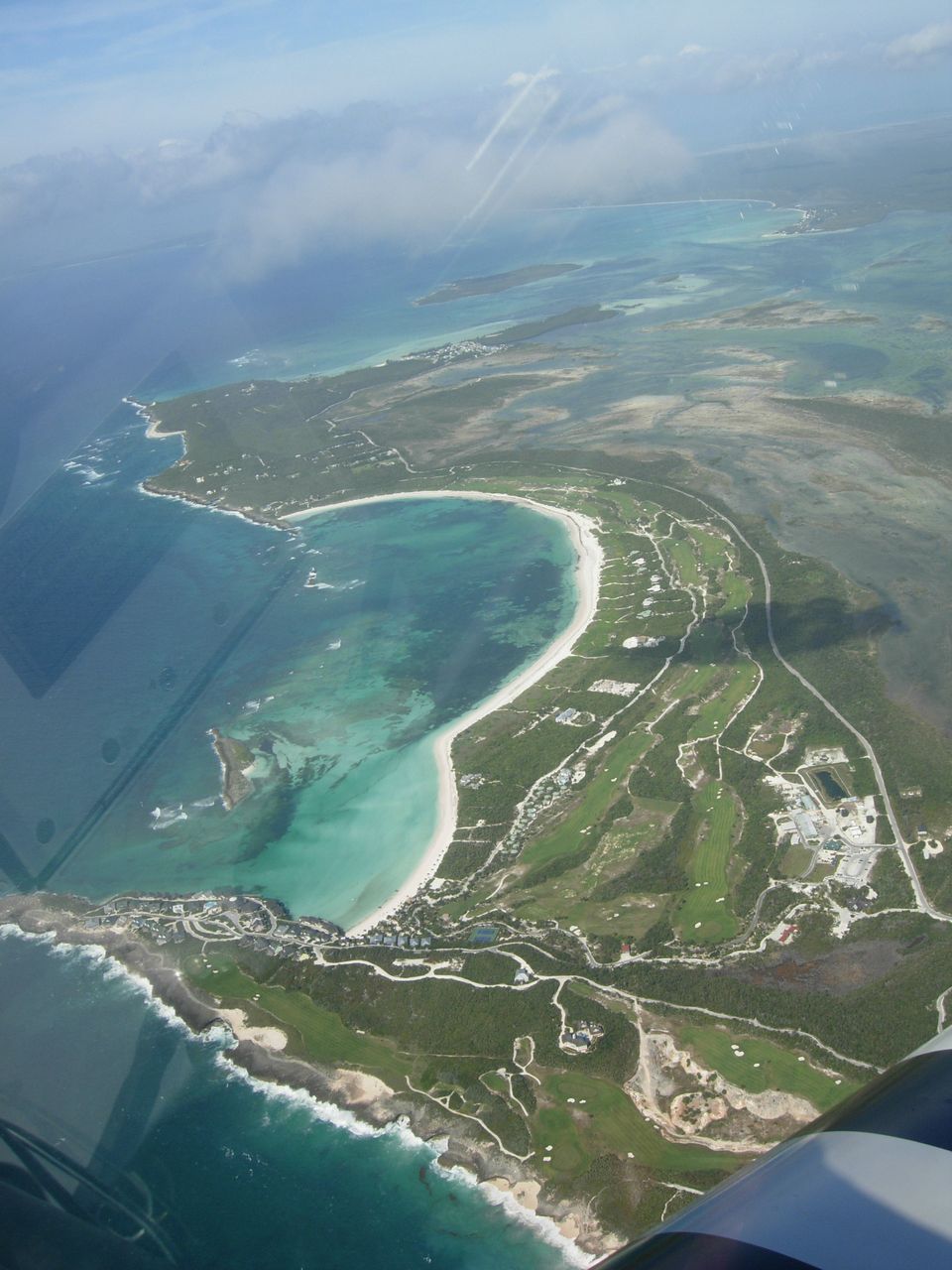
Nice golf course! |
|
 |
|
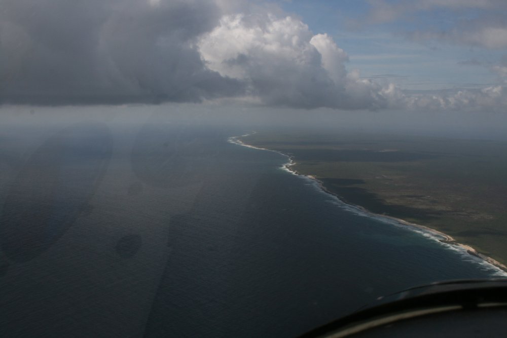
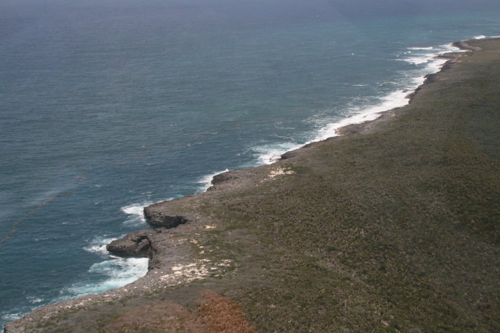
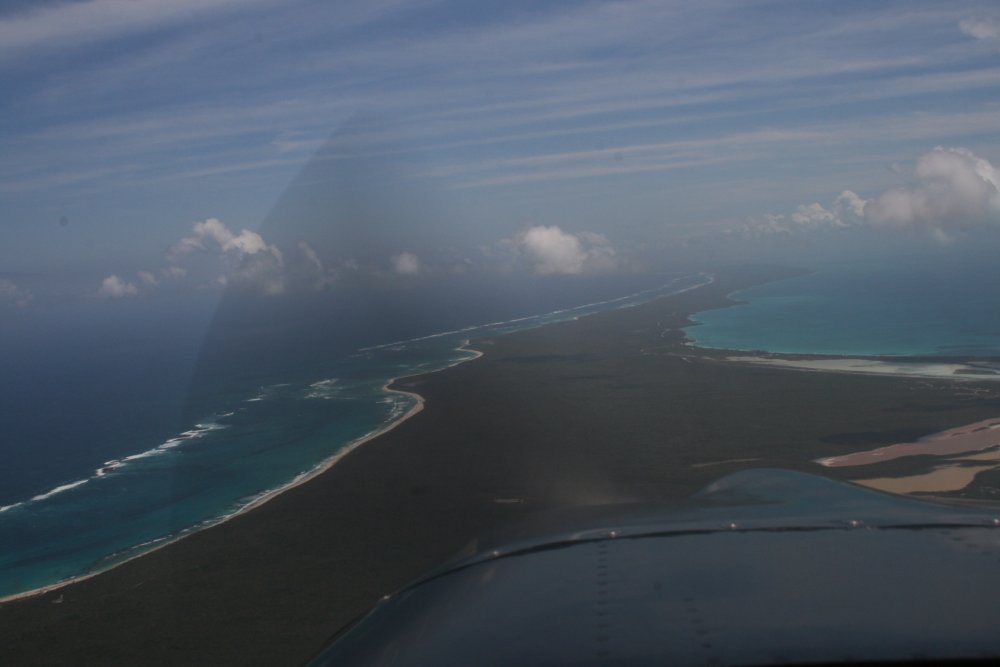
| Still heading down
the Abaco coast.
Yes, we are in gliding distance of land, but it's all jagged coast or
shrub or wood covered. Plus its completely uninhabited. In other words, not
a lot of good options if we had to make
a forced landing. |
|
 |
|
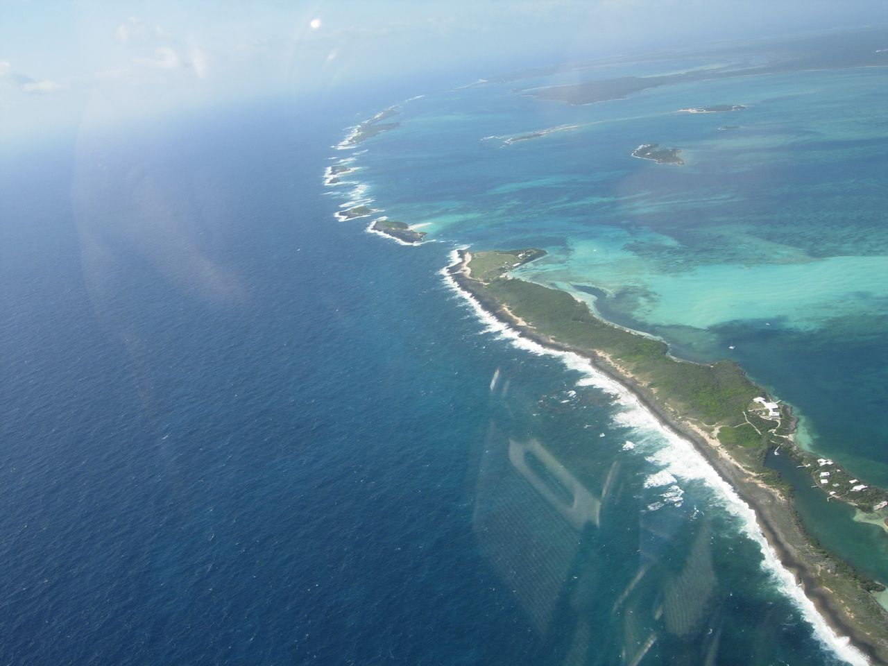
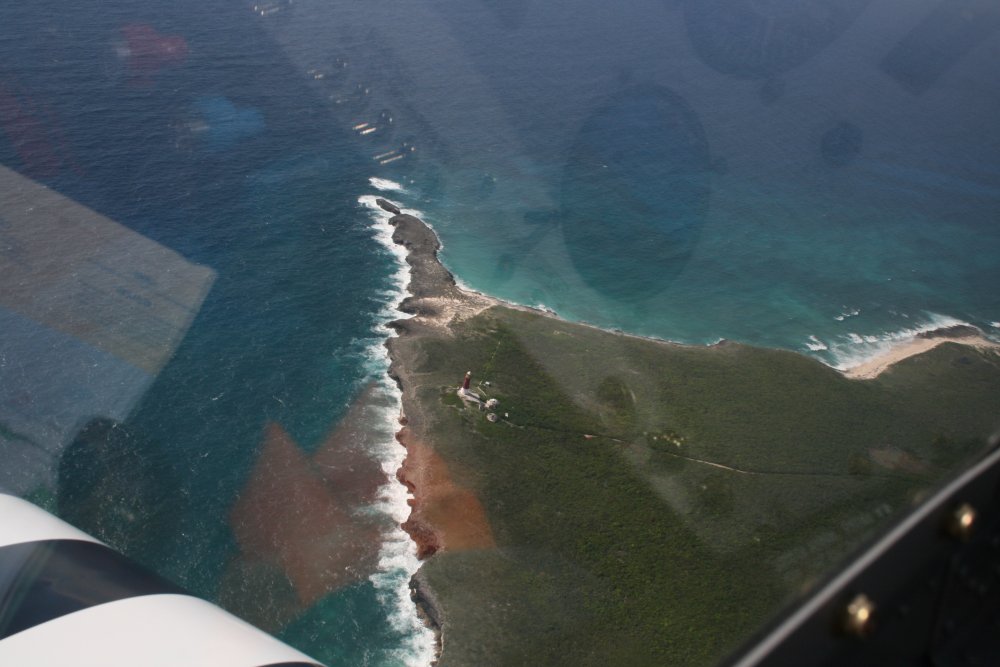
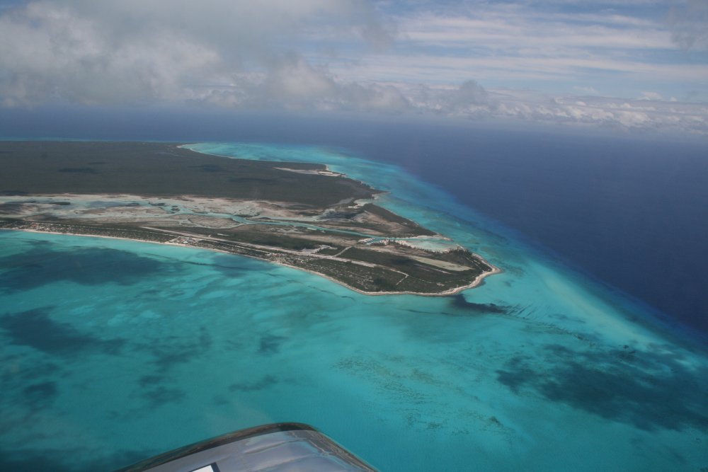
| The southern tip
of Great Abaco, with lighthouse. From here we headed southeast
over the ocean. |
|
 |
|
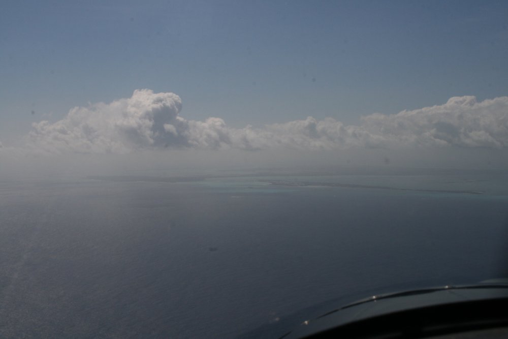
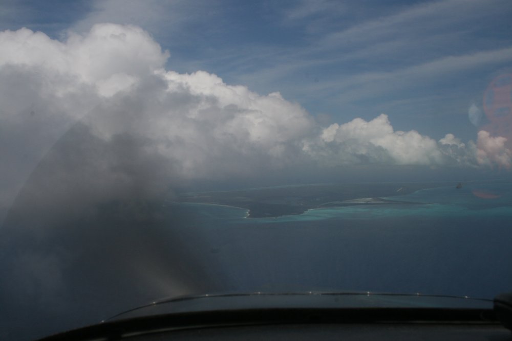
| Land
ho! In only a few minutes, Eleuthera Island was visible
off the nose. |
|
 |
|
|
The northern tip of Eleuthera. |
|
 |
|
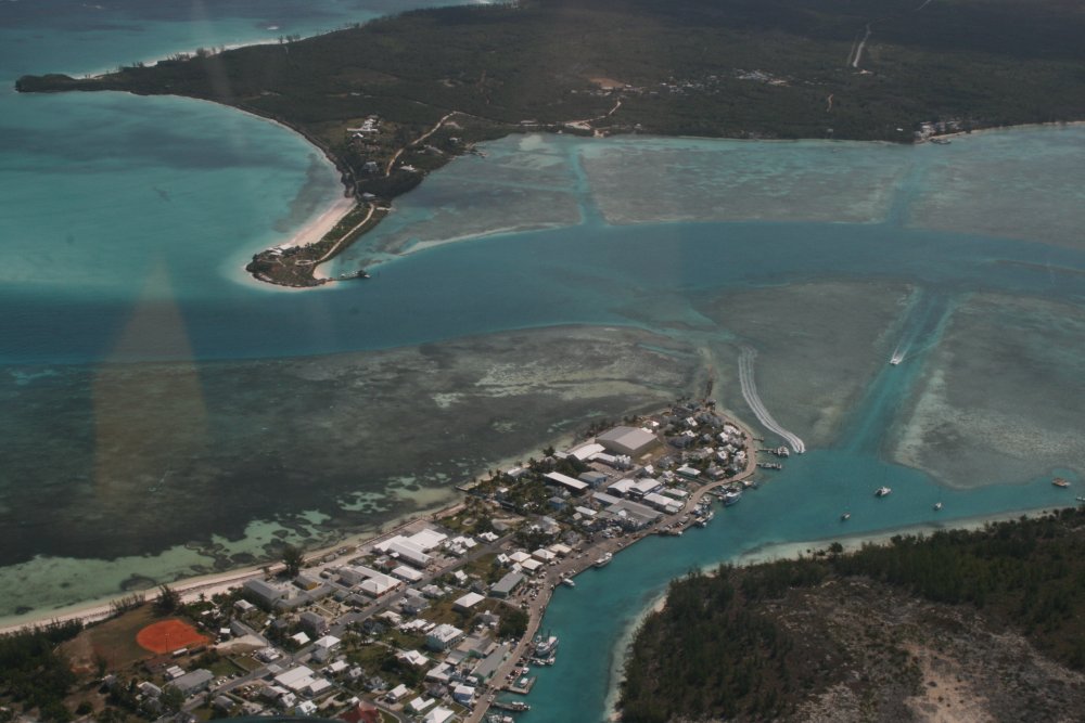
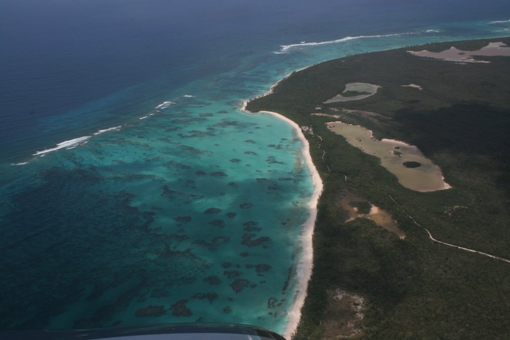
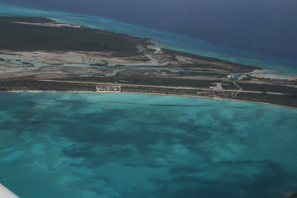
| Crossing the
northern part of Eleuthera inbound to North Eleuthera Airport
(MYEH). |
|
 |
|
|
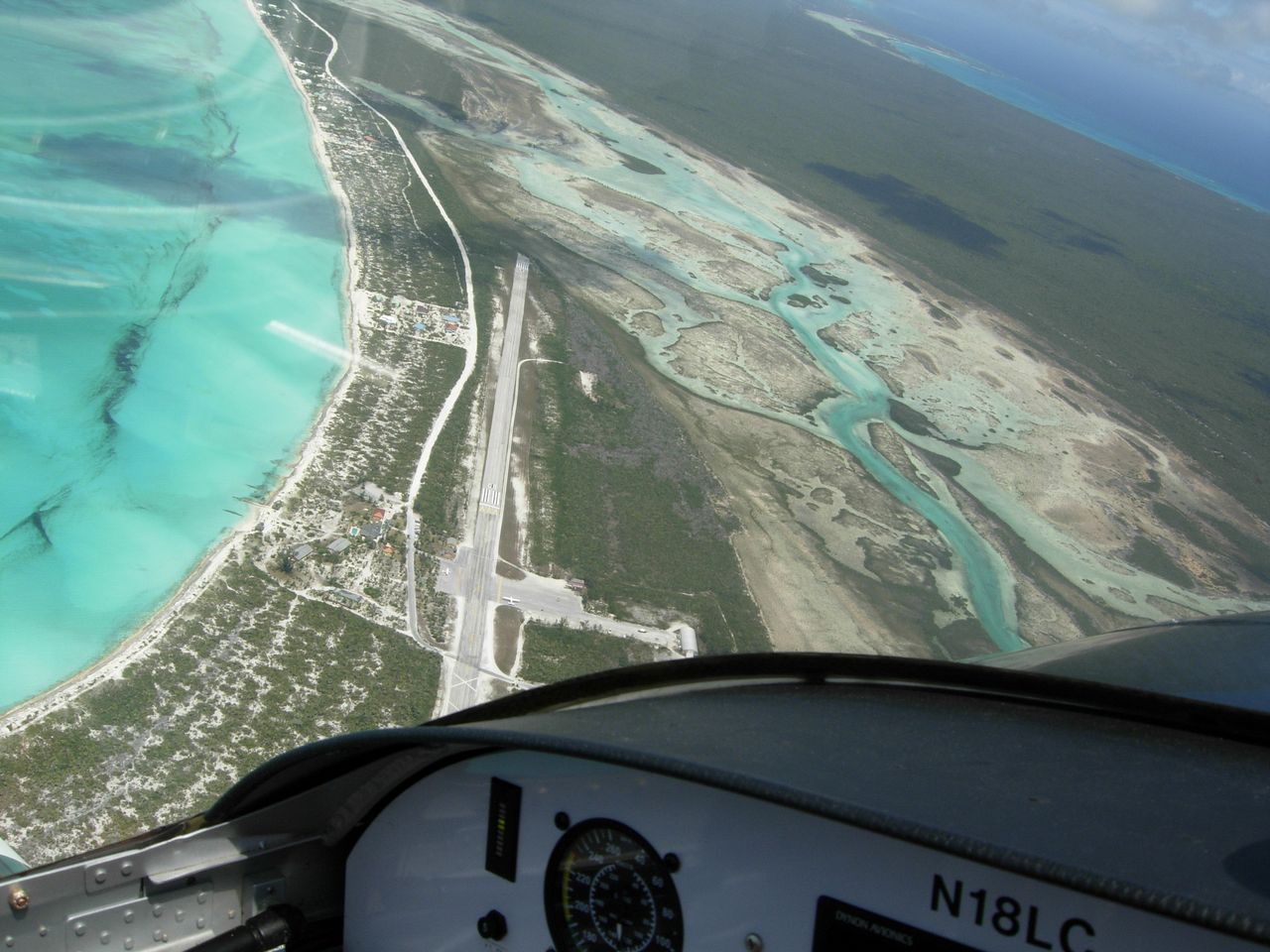
On left downwind at N.
Eleuthera. |
|
 |
|
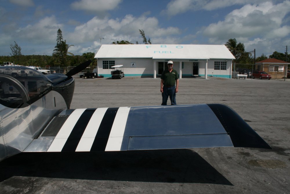
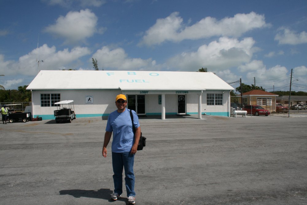
| We were just
staying here a few hours to look around and have lunch so we didn't need
to unload the airplane, tie it down and all that. The Customs and
FBO building is right behind me. |
|
 |
|
|
Jack must be hungry; he's pretty
excited. |
|
 |
|
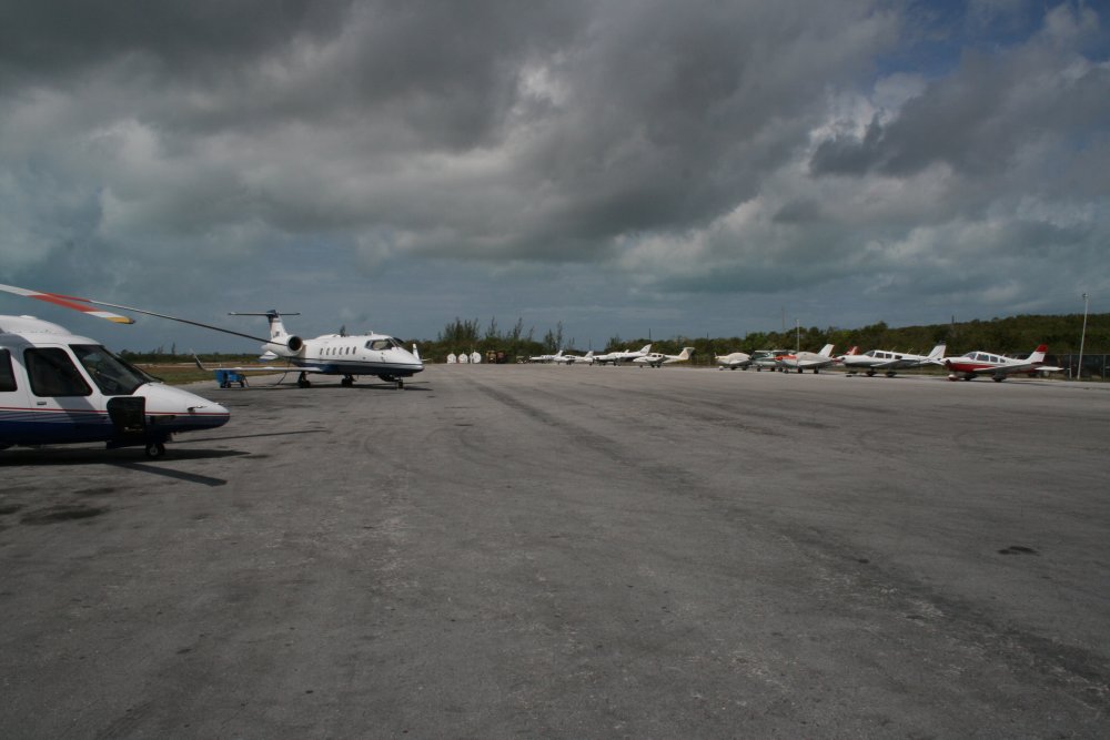
| We were parked
right next to that helicopter on the left. As we were having lunch
overlooking the ocean, we saw the helicopter fly by and it occurred to me
parking next to the helicopter was probably not a great idea. But
the plane was fine when we returned. |
|
 |
|
|
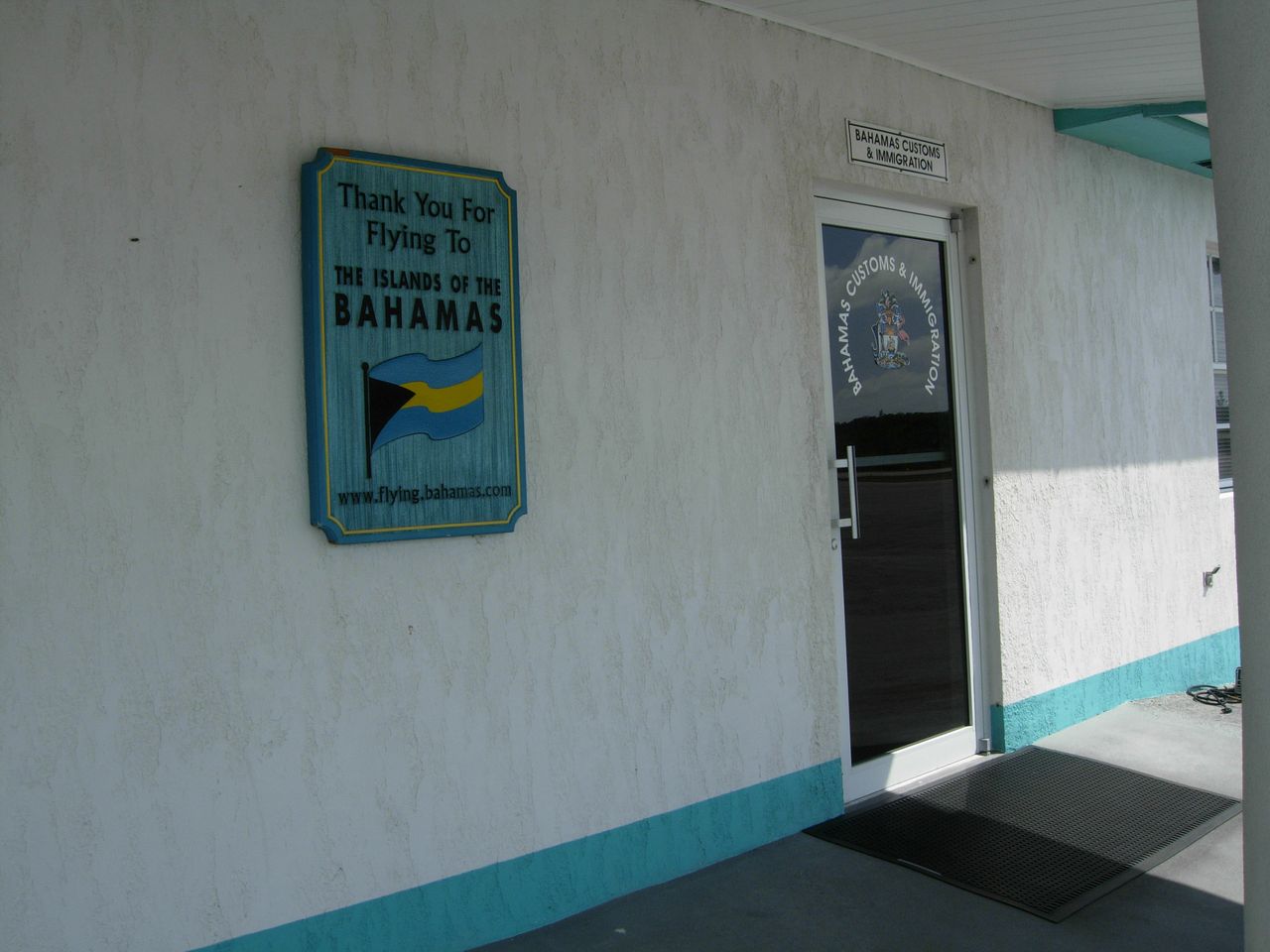
Now that we are within the Bahamas, customs is
easy. Just check in with them and they stamp your inter-island travel pass. No
fees. |
|
 |
|
|
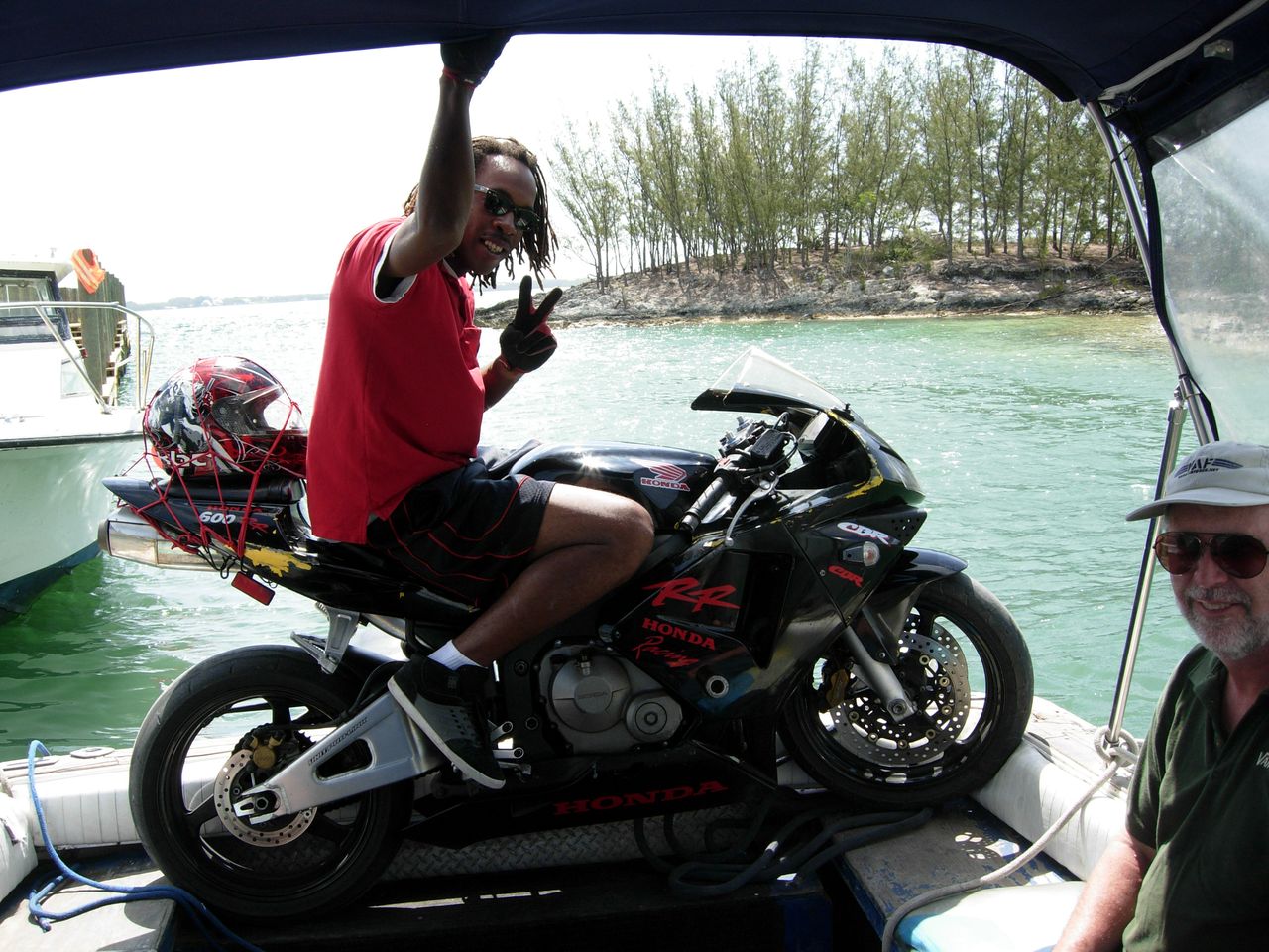
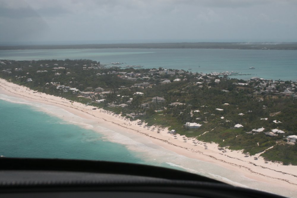
There wasn't much
on the mainland side. We took a short
taxi ride to a ferry dock, and cruised across a mile or so of water
to Harbor Island where civilization was. The ferry was just a small motorboat.
The price was right though, only $5. Best deal on the island.
The mile ride from airport to ferry cost twice that. I gather
they'll carry anything on the watertaxi! If you can get it on, they'll take
it. |
|
 |
|
|
Cruising over to Harbour
Island. |
|
 |
|
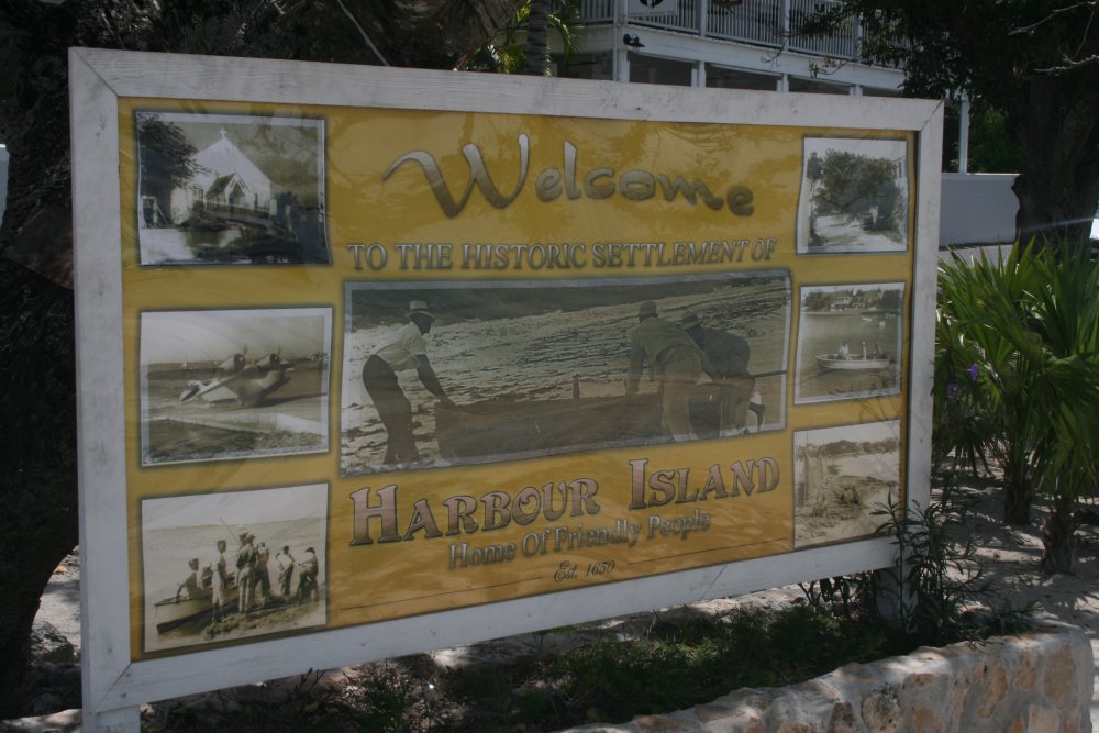
| Harbour Island is
famous for its pink beaches so we wanted to check them out and have lunch
there. |
|
 |
|
|
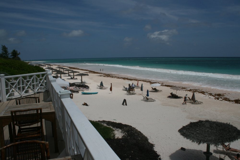
We walked east and found this nice
hotel restaurant overlooking the pink beach and had lunch. I didn't
really think the beach was pink,but it was still a very nice beach,
regardless. Looking north. |
|
 |
|
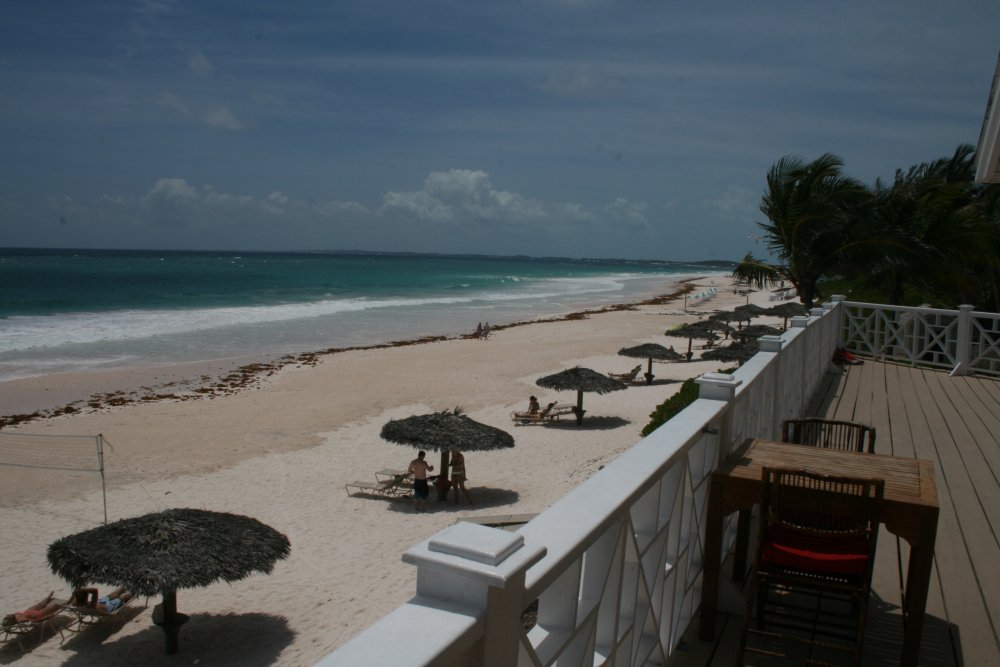
| Looking
south. Although this place was very nice and upscale, there weren't
many vacationers about. It was the same at all the places we stopped
in the Bahamas. Extremely nice places, but the vacationers just
weren't there. And this is the season. Apparently no one comes
here in fall and winter due to hurricanes. |
|
 |
|
|
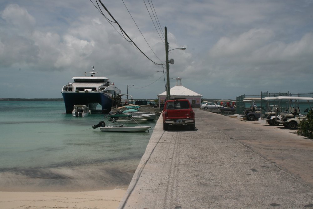
Back at the ferry dock, Harbour
Island side. We had seen that big inter-island ferry underway from
the air coming in. |
|
 |
|
| Heading back to
the airport in the ferry motorboat. |
|
 |
|
| The restaurant
waitress had been interested in our airplane so we told her to look for a
little silver and black airplane to fly by later on. We took off and
flew down the beach at 500 feet. That's Harbour Island below looking
southwest. |
|
 |
|
| Heading southeast
along the Eleuthera coastline. It's a long, skinny island. |
|
 |
|
|
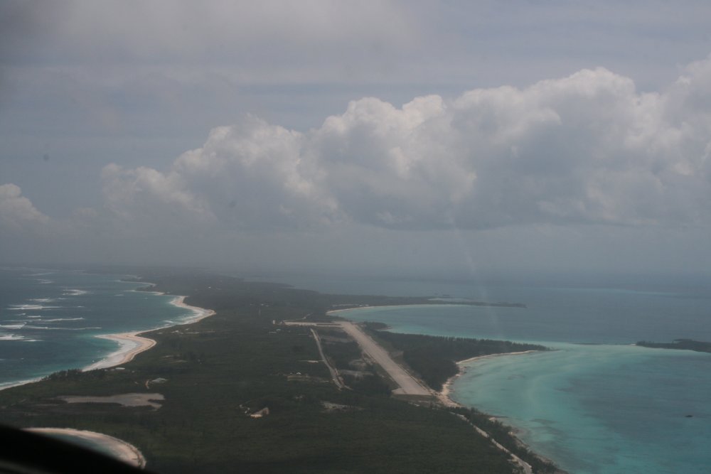
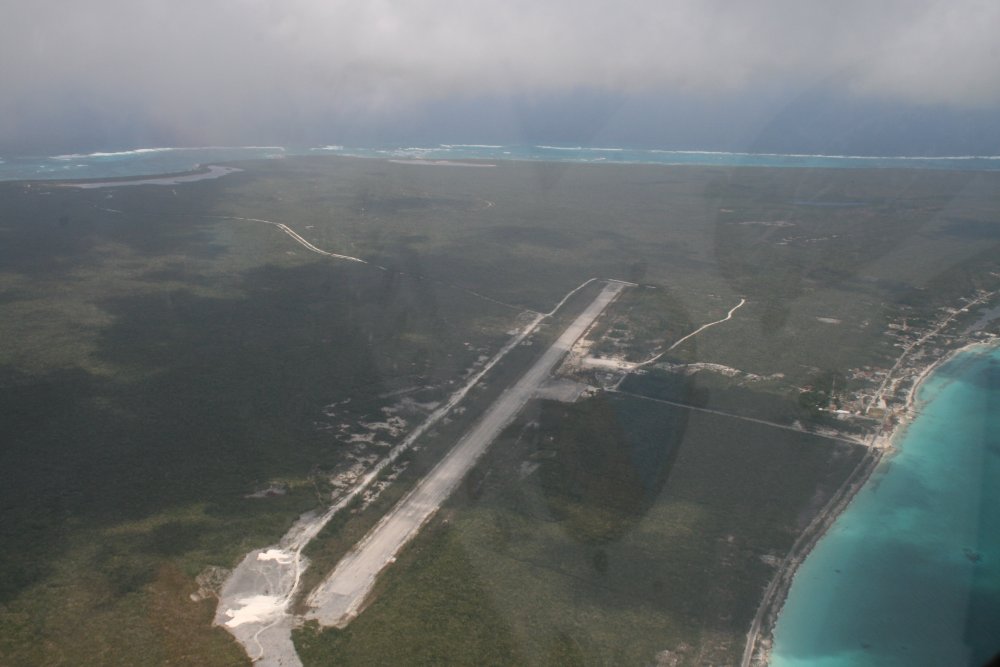
About halfway down Eleuthera was Governor's Harbour
airport (MYEM). I was interested in it because
the Bahamas & Caribbean Pilot's Guide said it used to be a
U.S. Naval Base. It didn't look like much, and there was a crosswind
I didn't feel like dealing with, so we didn't stop. Later I
found out it had actually been a Naval Facility which opened in 1957 and closed
in 1980. From Wikipedia, a Naval Facility is basically a SOSUS
monitoring station. SOSUS systems consisted of bottom
mounted hydrophone arrays connected by underwater cables to facilities
ashore. Their purpose was to listen for and provide locating
data for Soviet submarines. It was highly classified stuff
when I was hunting Soviet submarines in P-3 Orions way back in the 1980's.
Now you can read about it in Wikipedia. It must have been
sweet duty for those stationed at this particular NavFac. |
|
 |
|
|
Continuing south down
Eleuthera. |
|
 |
|
| At the southern
tip of Eleuthera we turned almost due east for the short hop over to Cat
Island. That's Cat Island straight ahead. |
|
 |
|
| We proceeded to
fly south down the length of Cat Island. |
|
 |
|
| Overhead New Bight
Airport (MYCB) which is about midway down Cat Island. |
|
 |
|
|
We were starting to get used to
seeing nothing but scrub on these islands. |
|
 |
|
|
Cat Island doglegs to the west and at the end was our
destination: Hawk's Nest. Hawk's Nest is a private
airport that is part of the Hawk's Nest Resort where we would be
staying.
Notice how sharply the water goes from shallow aqua to deep blue.
A charter boat captain later told us this tip of land is the tip of an
underwater mountain. The water gets deep quickly, which is great for
fishing. The boats only have to go a short distance and they can
start fishing. Which is fantastic, he said. |
|
 |
|
|
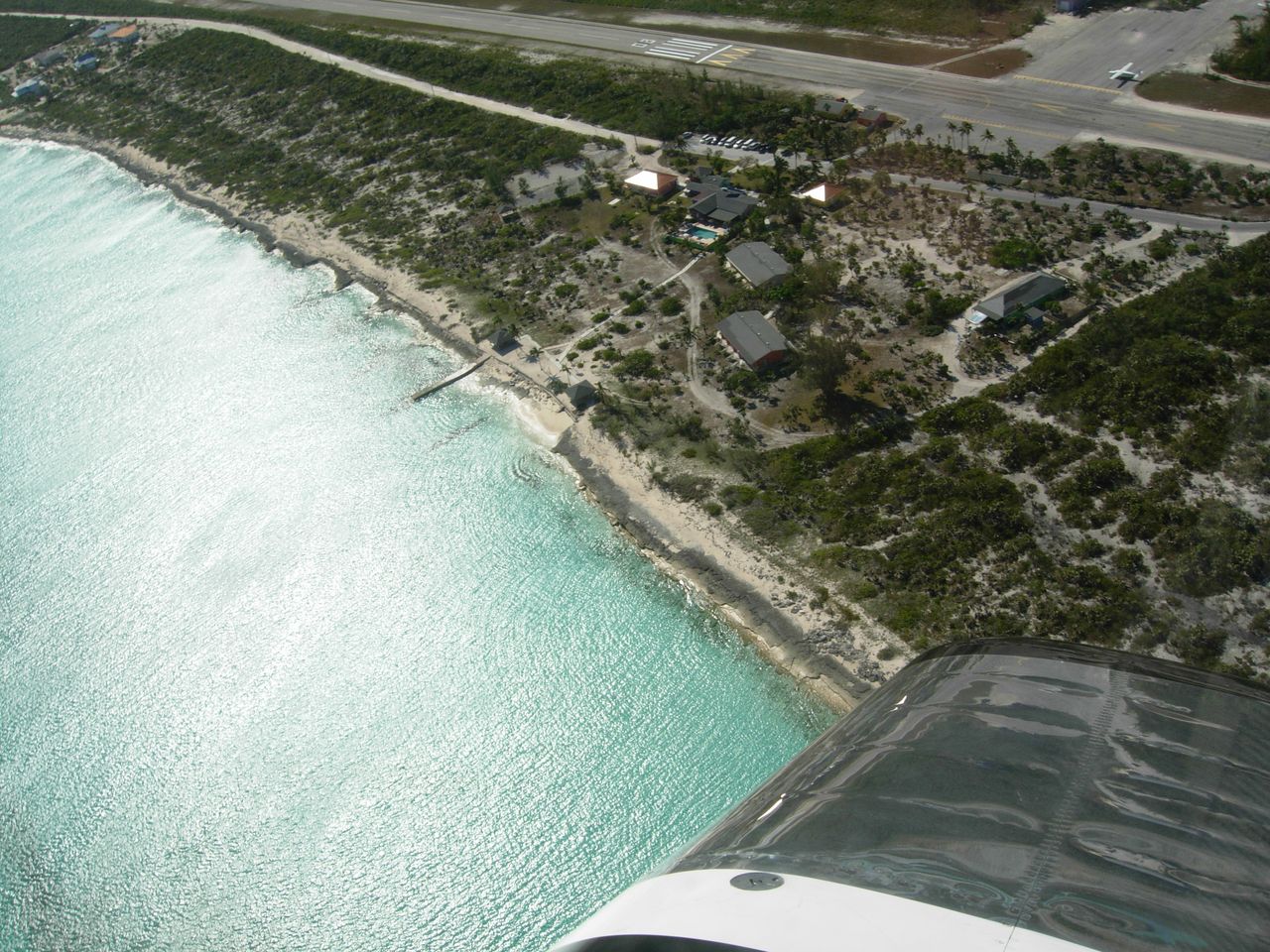
The resort is on this side of the
runway, to the right. Opposite of the marina. |
|
 |
|
| Turning over
Hawk's Nest. The water is incredibly aqua blue. |
|
 |
|
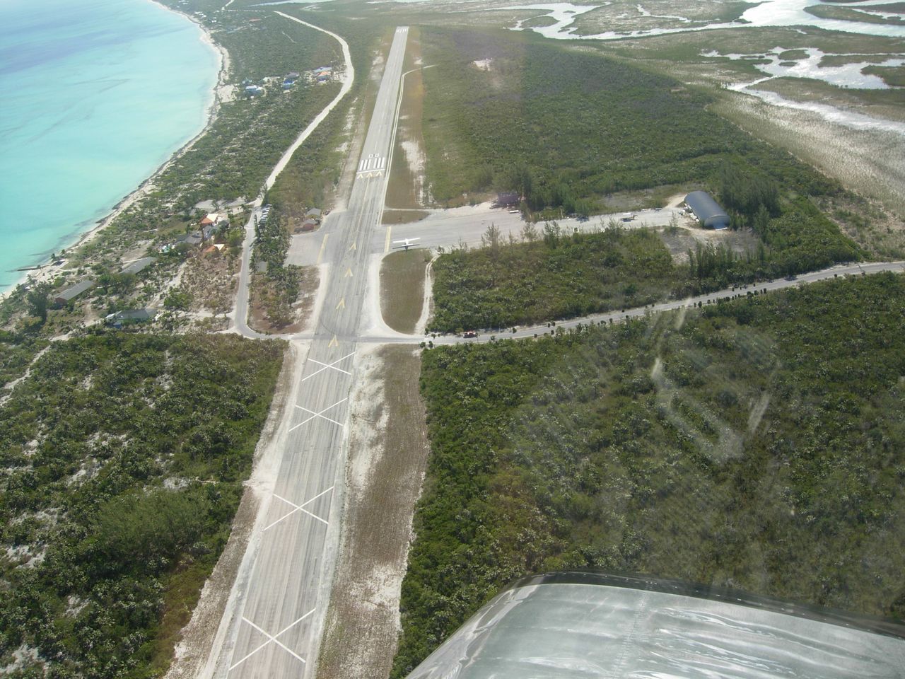
| Can you believe
that displaced threshold? Half the
runway is wasted. |
|
 |
|
| A great look at
the Hawk's Nest resort complex including beach. |
|
 |
|
|
|
|
|
|
|
|