Day 9 - The Grand Canyon
I hadn't originally planned to fly the Grand Canyon since I had done it before. But I thought, hey, I'm close, and I have the good morning sunlight, I might as well do it. I did have the all-important Grand Canyon VFR Chart which has all the altitudes, frequencies, corridors and waypoints.
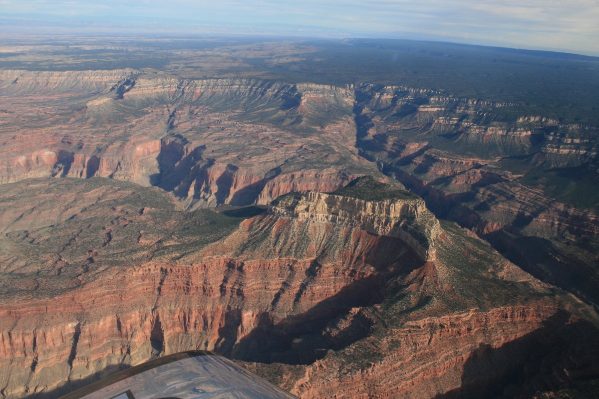
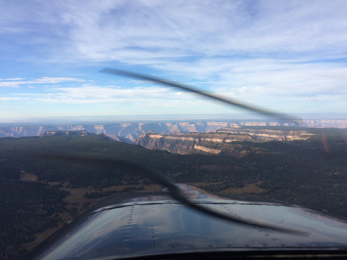
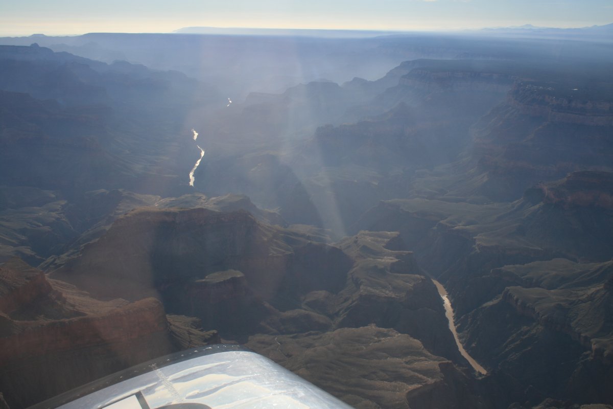
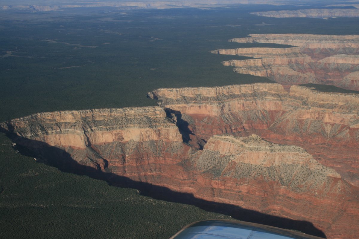
My plan was to hit the Dragon Corridor at the (north) Dragon Bravo waypoint. I had to be at 10,500 feet on the southbound leg. I entered the waypoints into my GPS which made it easy. Here I am about to overfly the Grand Canyon.
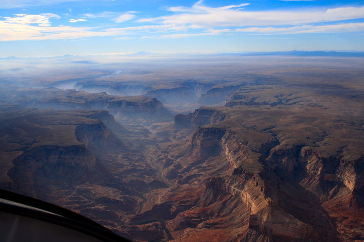
Outside the corridors are no-fly zones (unless you are way high -- above 14,500 feet!) The Commerical Air Tour Operators can fly the corridors at 7,500/8,500 feet: 3,000 feet lower than the common scum. It's always about the money.
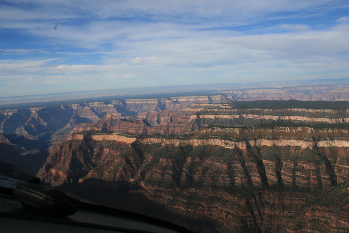
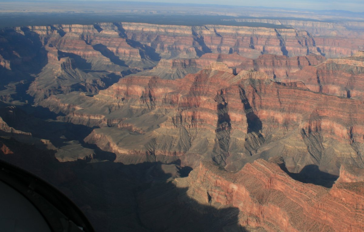
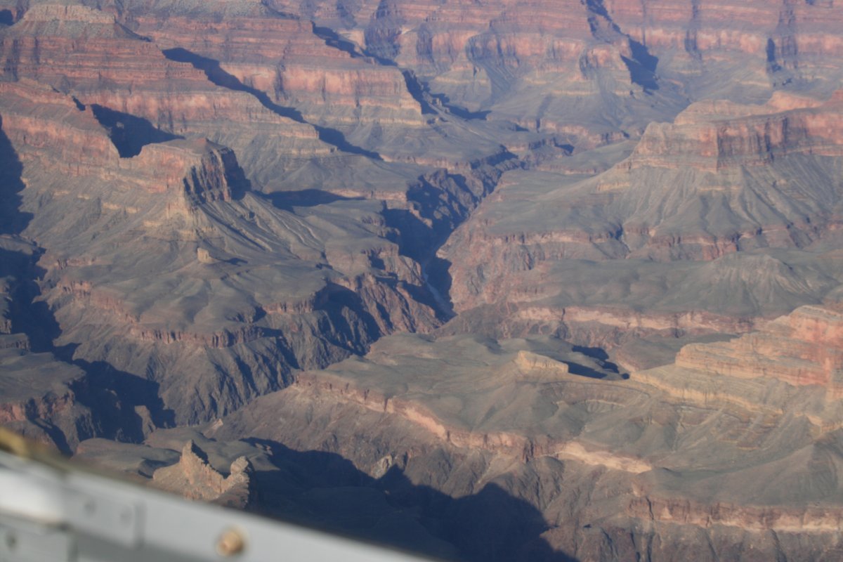
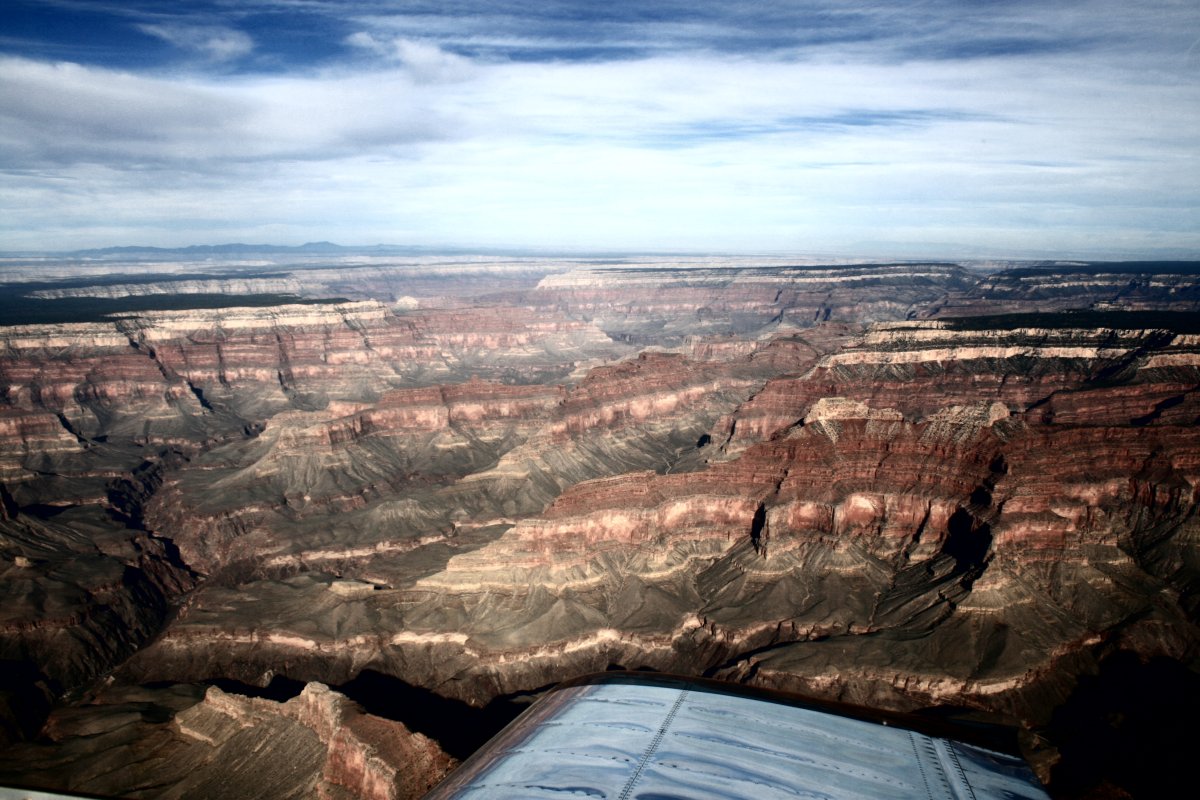
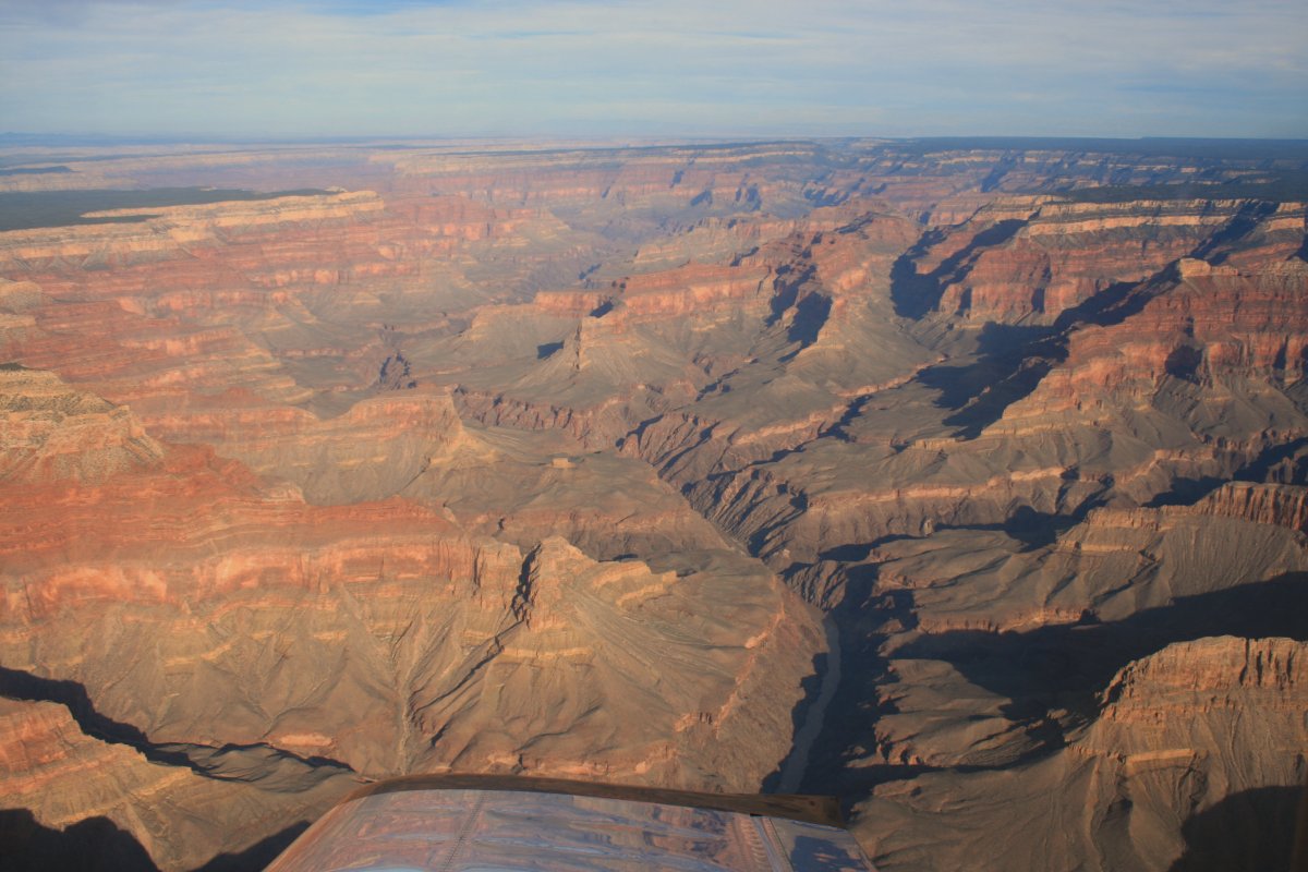
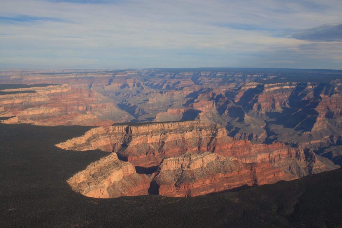
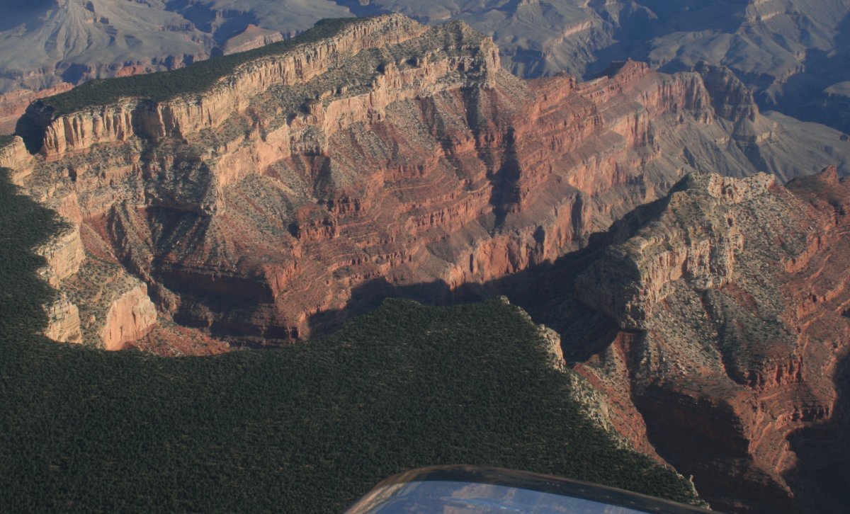
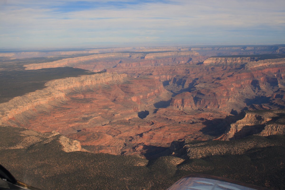
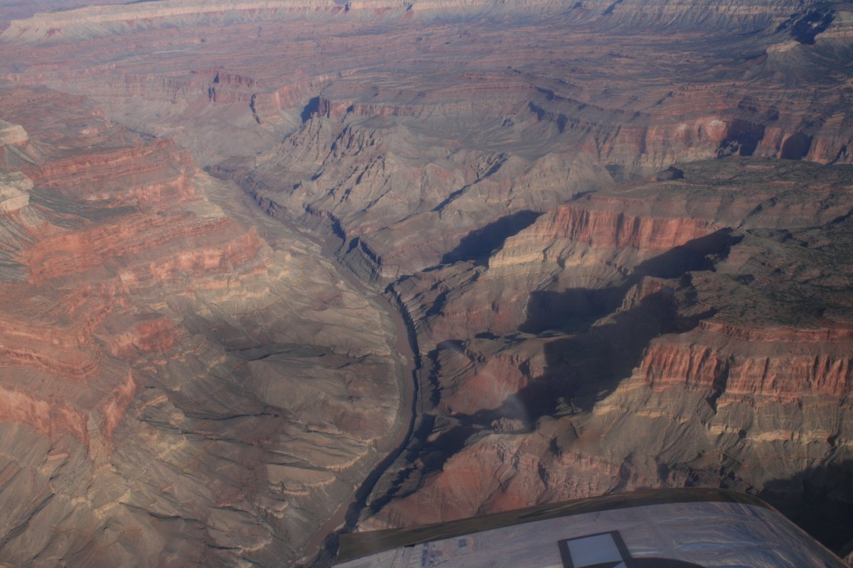
So, I did the Grand Canyon. Frankly, from the air, it's just not that good. You've seen enough of my pictures so far to know that there are many other places in Utah and Colorado where you get up close and personal with scenary as good or better than this. I probably won't ever fly the Grand Canyon again; but, that said, you do need to do it at least once.