Day 5 - Price, San Rafael Reef
|
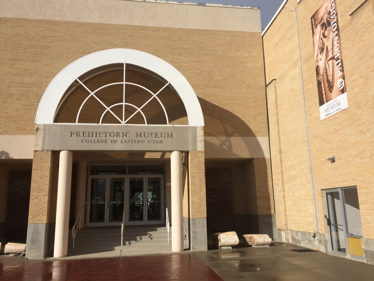
| Once I got checked into the Greenwell Inn (recommended), I had some time left to visit Price's Prehistoric Museum I had heard about. It was just a short walk down the street. (Which was good since I had no car) |
| |
 |
|
|
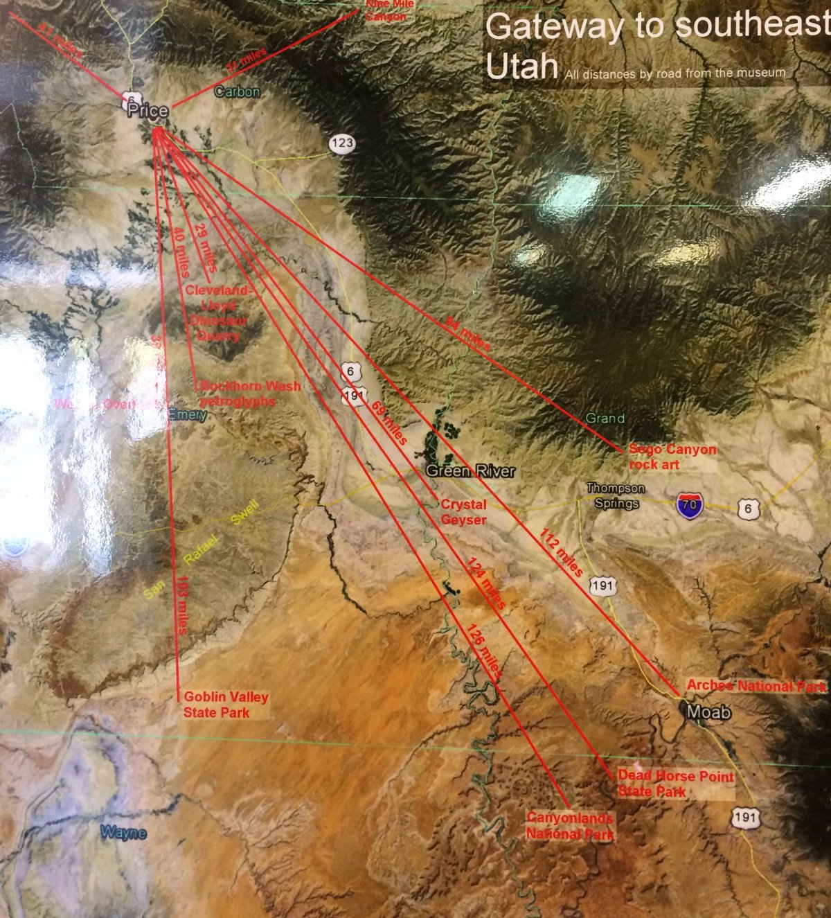
Having flown in the area southeast of Price two years ago and going to do it again tomorrow, I was interested in the topography. I hadn't flown the San Rafael Swell or the Green River north through the Tavaputs Plateau but from this map they looked promising also.
|
| |
 |
|
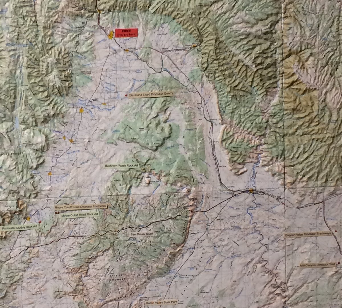
| I love these 3-D topographical maps. |
| |
 |
|
|
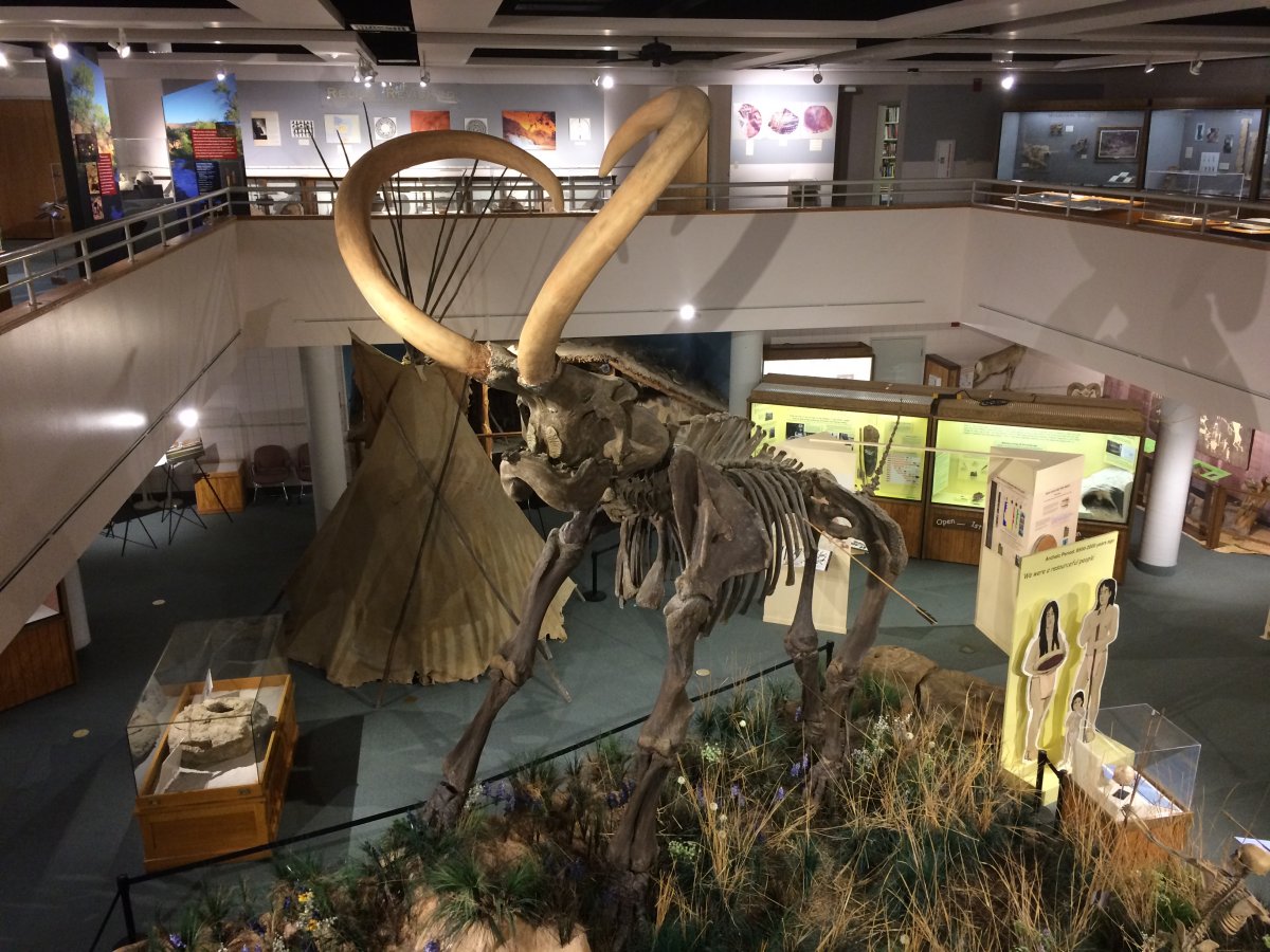
A Mammoth skeleton dominates one side of the musuem.
|
| |
 |
|
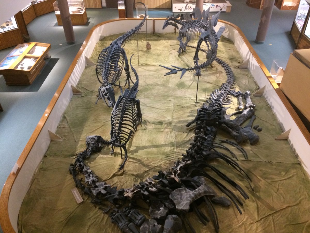
| Fossils of various dinosaur types populate the other side. |
| |
 |
|
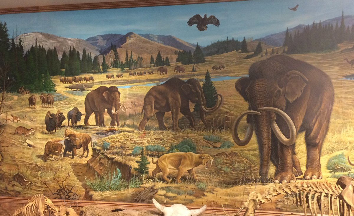
| An interesting picture of prehistory animals including a Sabretooth Tiger and Mammoths. |
| |
 |
|
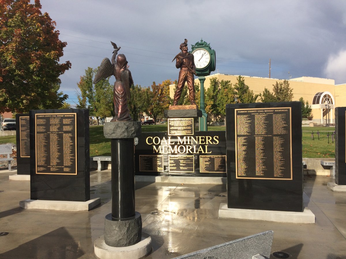
| This coal miner's memorial was right in town center. A nice gesture. |
| |
 |
|
|
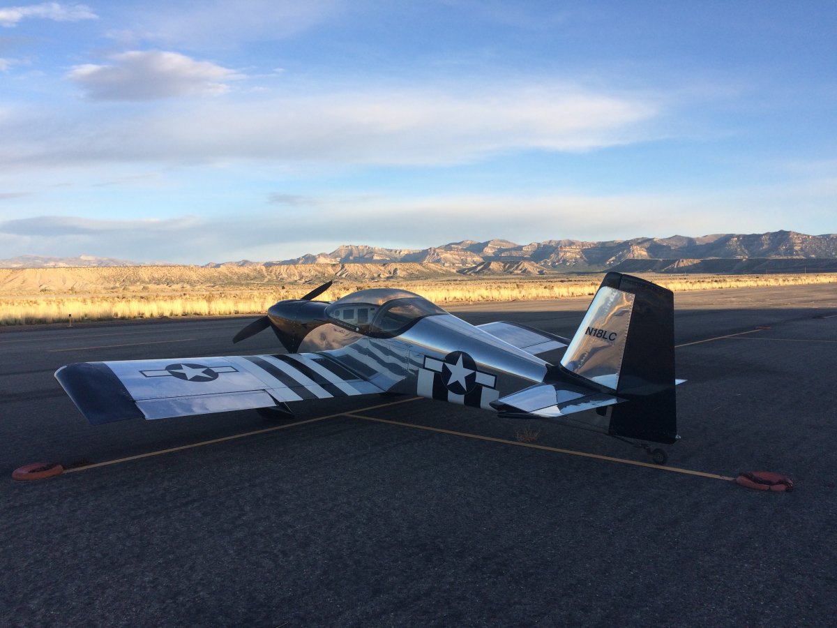
I was up early the next morning and out at the airport just after daybreak.
|
| |
 |
|
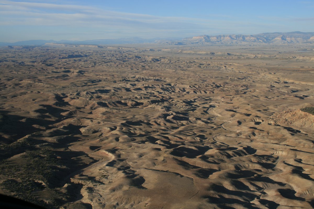
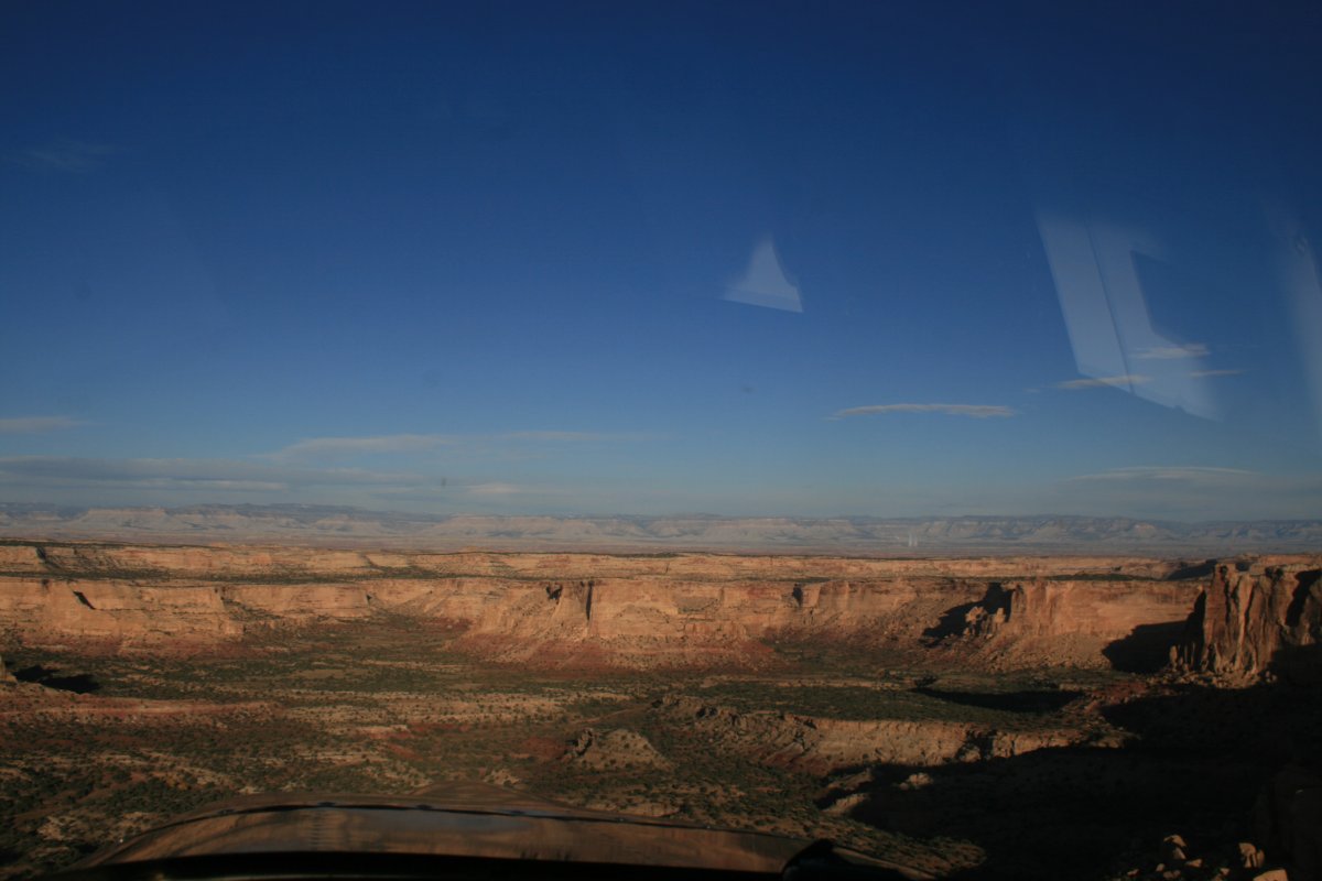
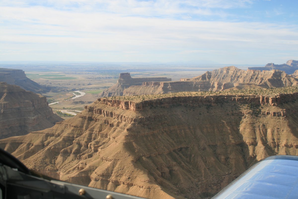
| I headed south over some desolate terrain to the west side of the San Rafael Swell. |
| |
 |
|
|
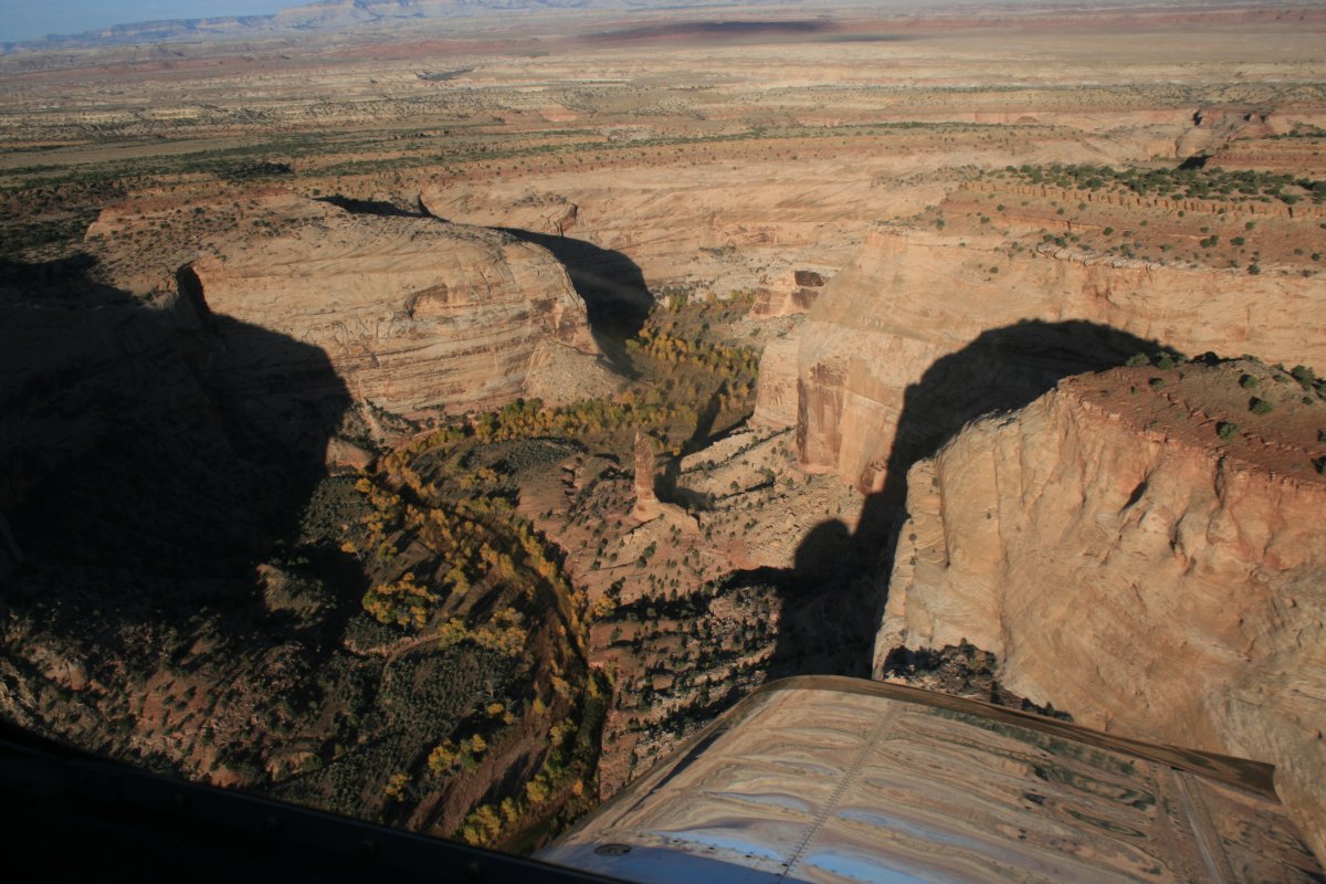
I'm just about ready to turn east and follow this creek through the Swell.
|
| |
 |
|
|
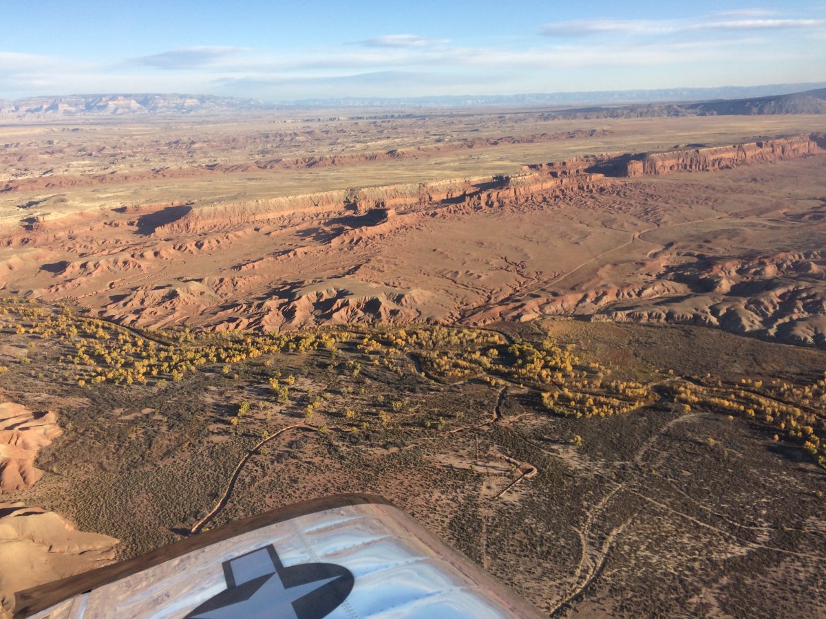
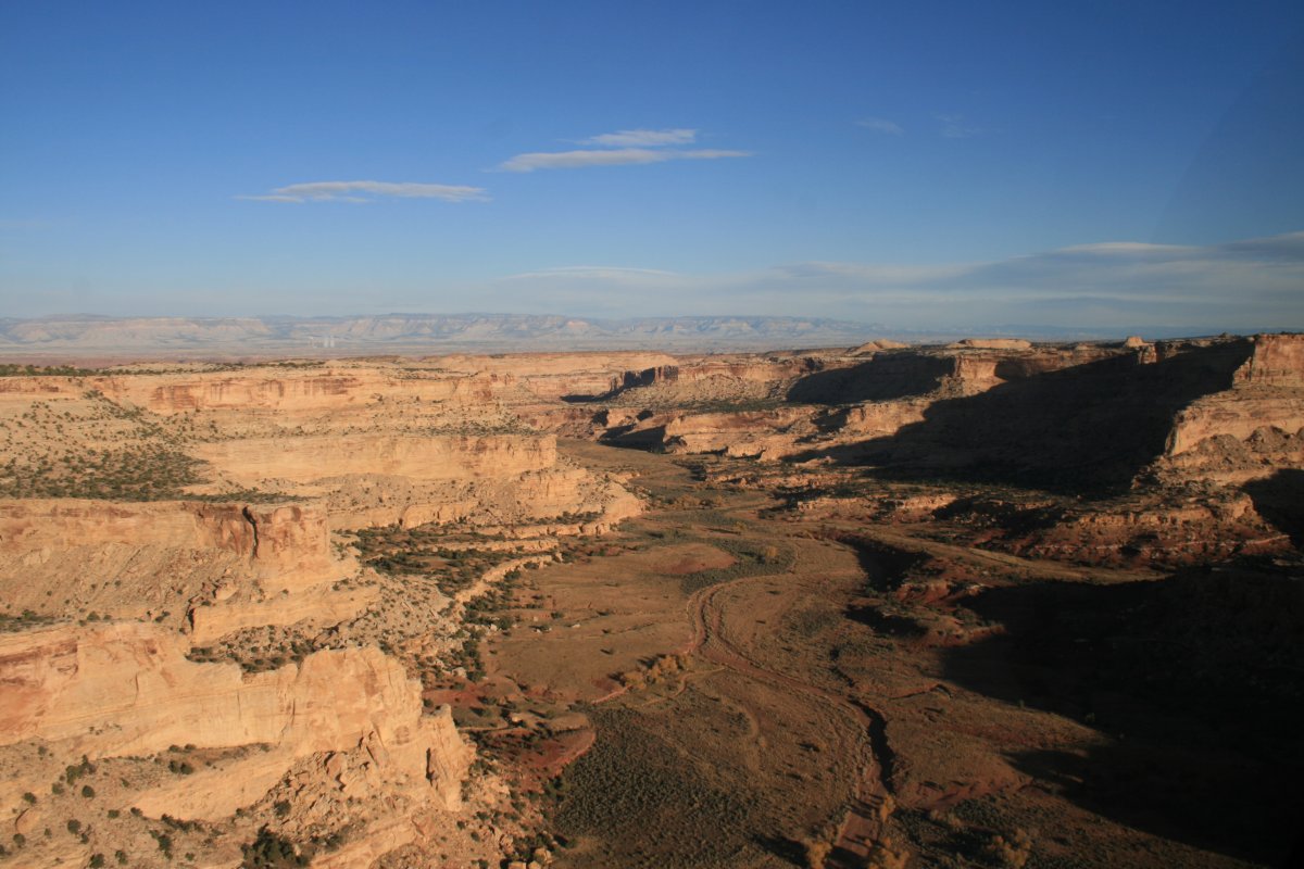
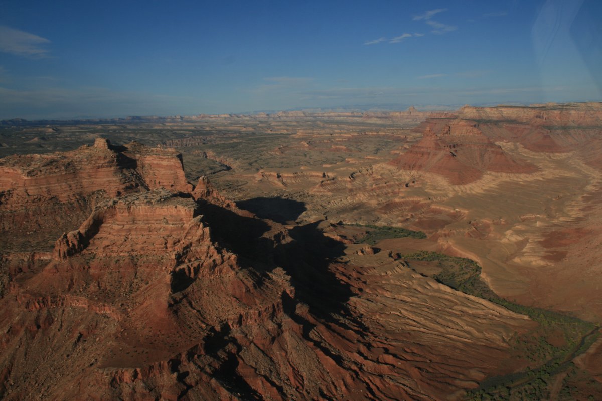
Of course, going east I was right into the sun. It only took five minutes or so to cross the Swell, then I turned around and flew the canyon again, then time heading west with the sun lighting everything up.
This picture is on the east side of the Swell.
|
| |
 |
|
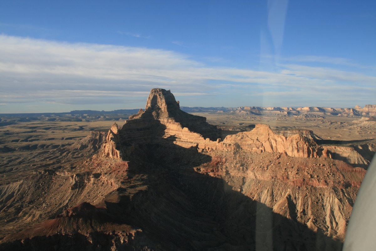
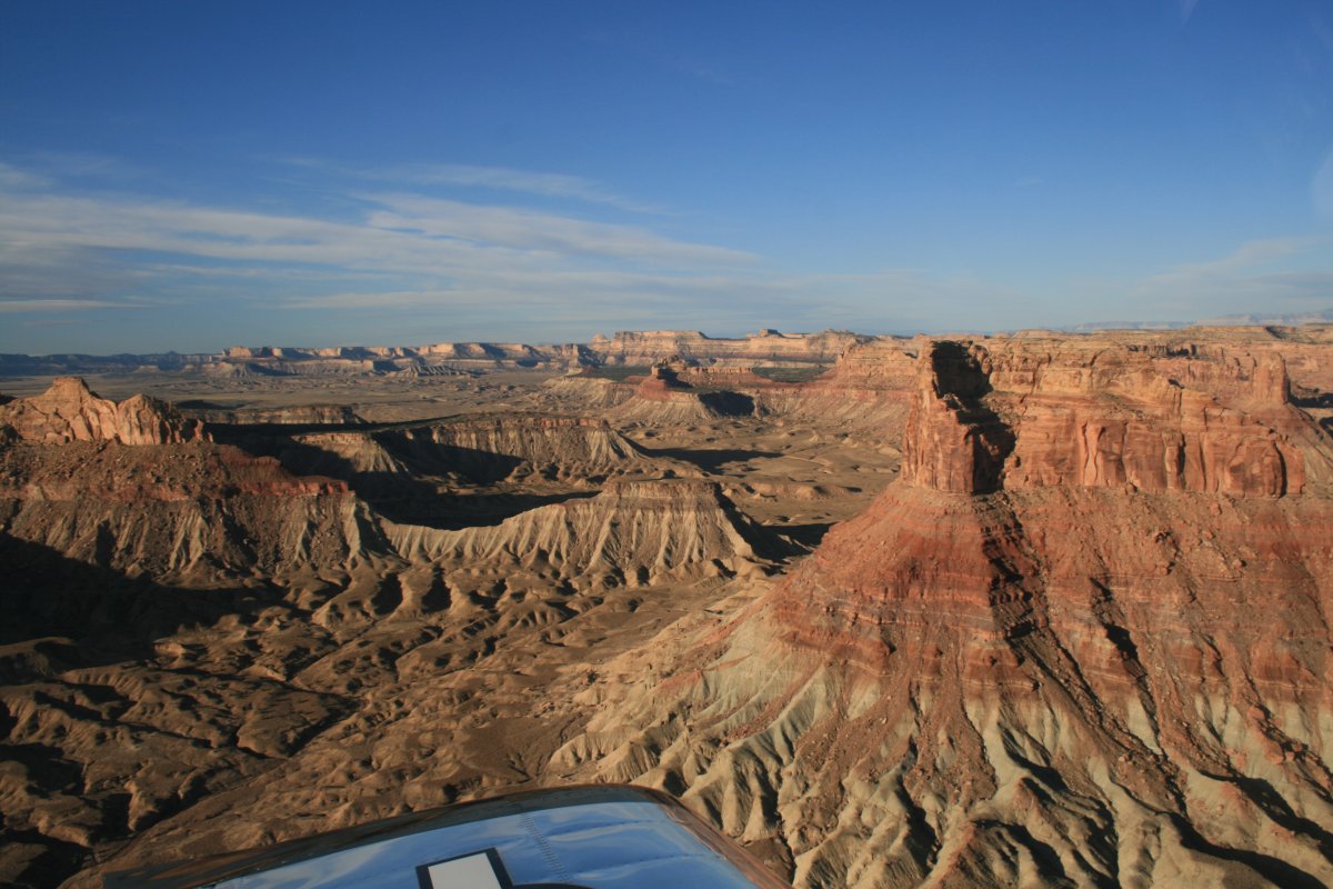
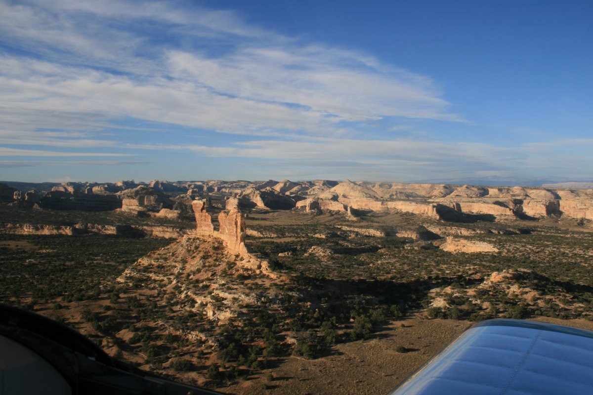
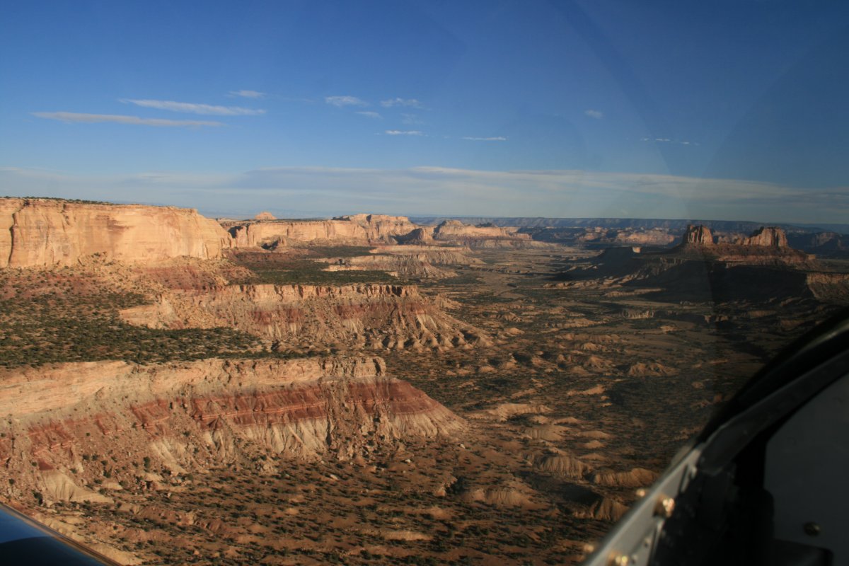
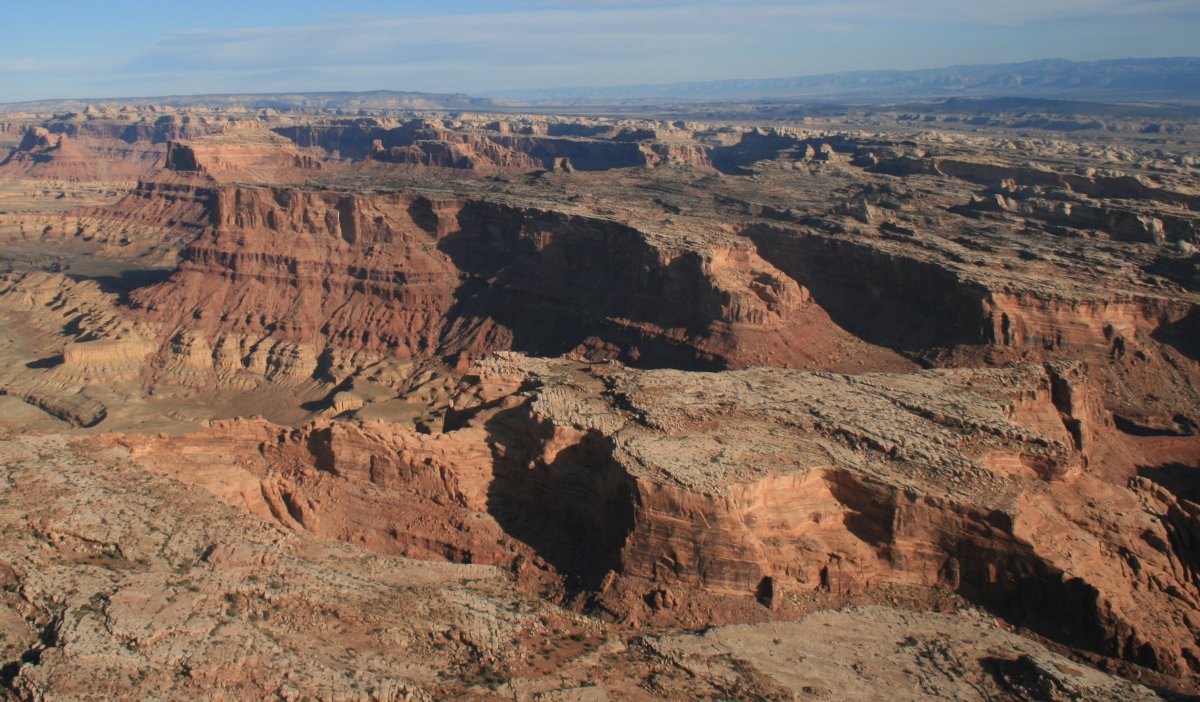
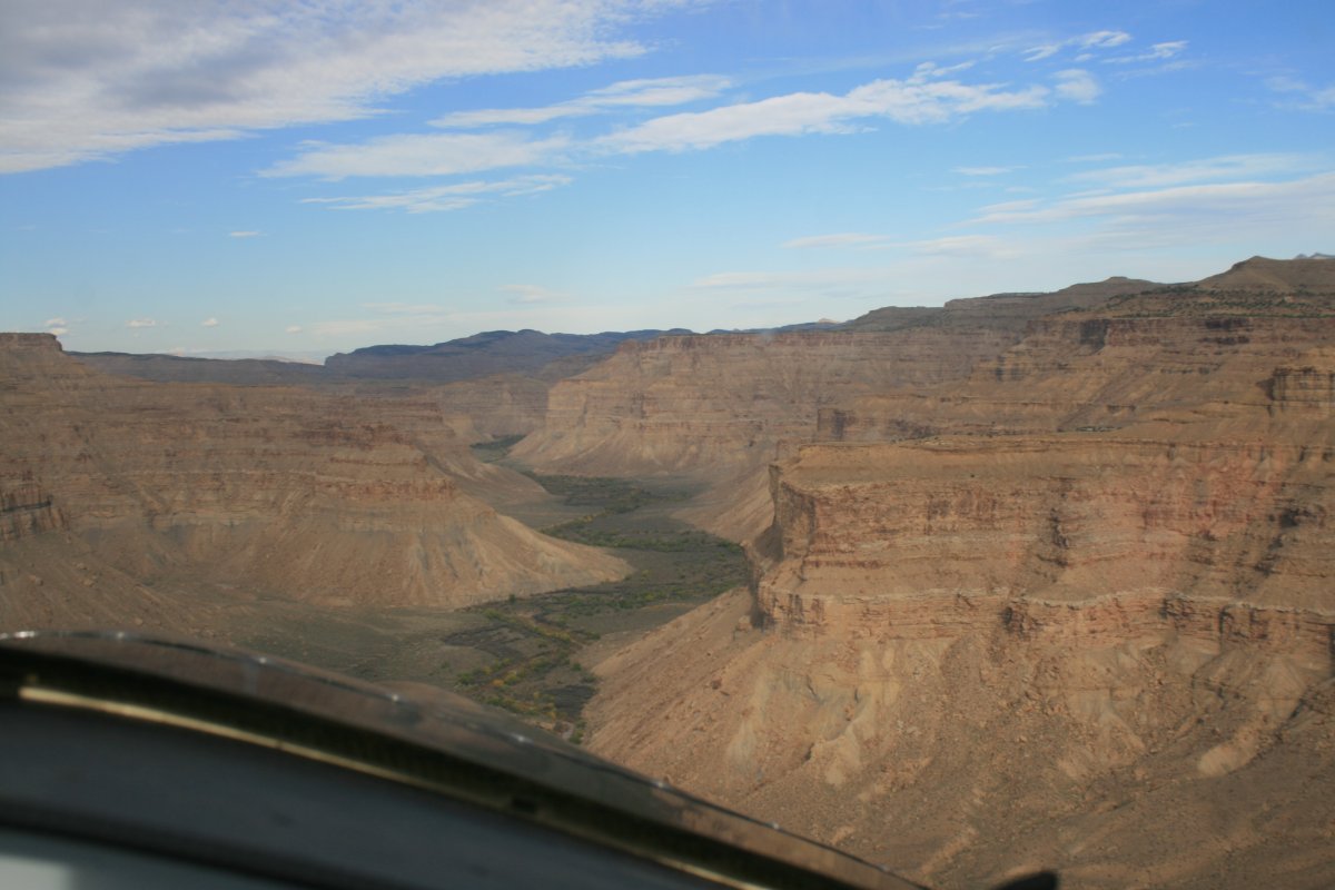
| The scenary was much better on the east side. I'm about to fly westward through the Swell. |
| |
 |
|
| |
| |
 |
|
|
|
| |
 |
|
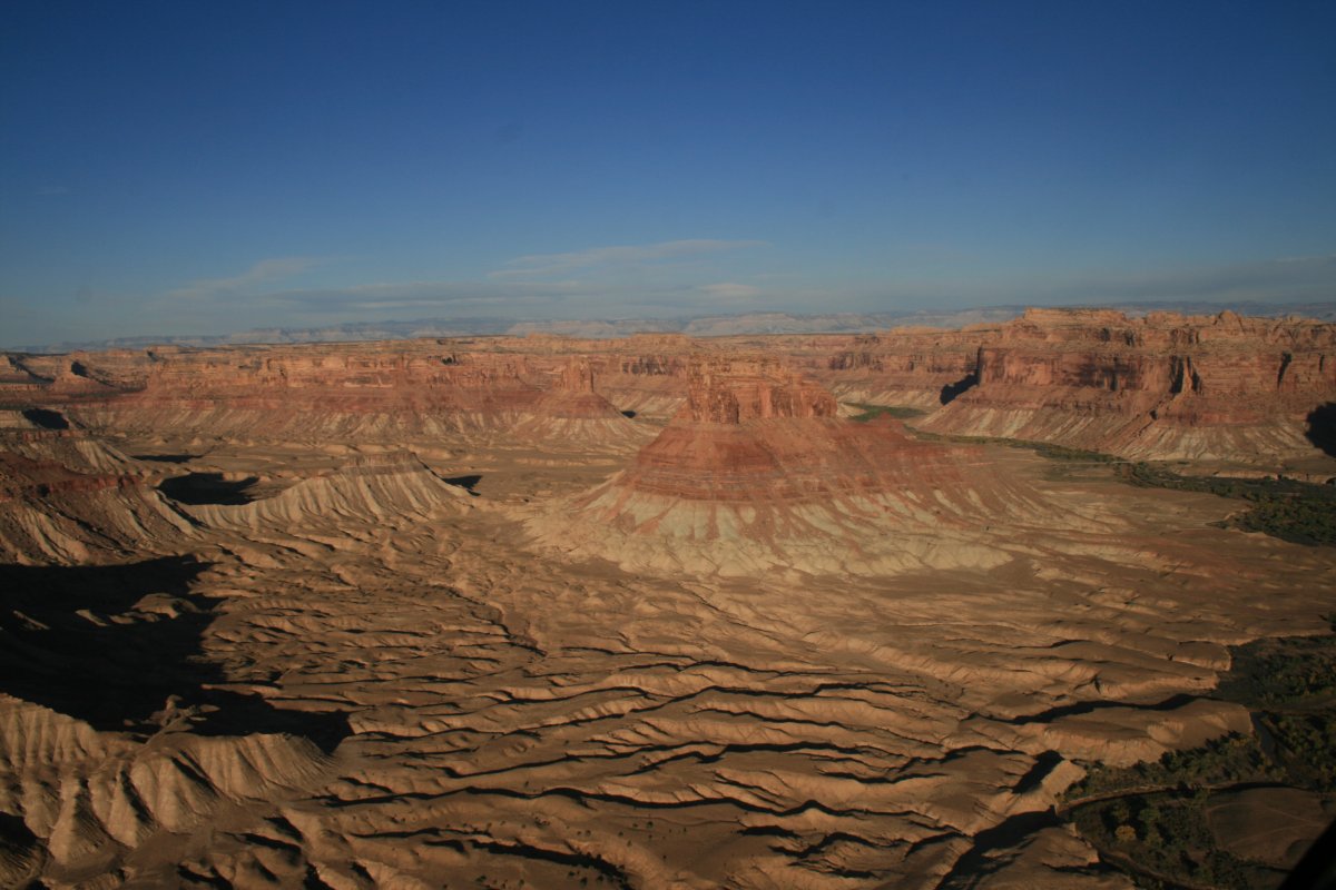
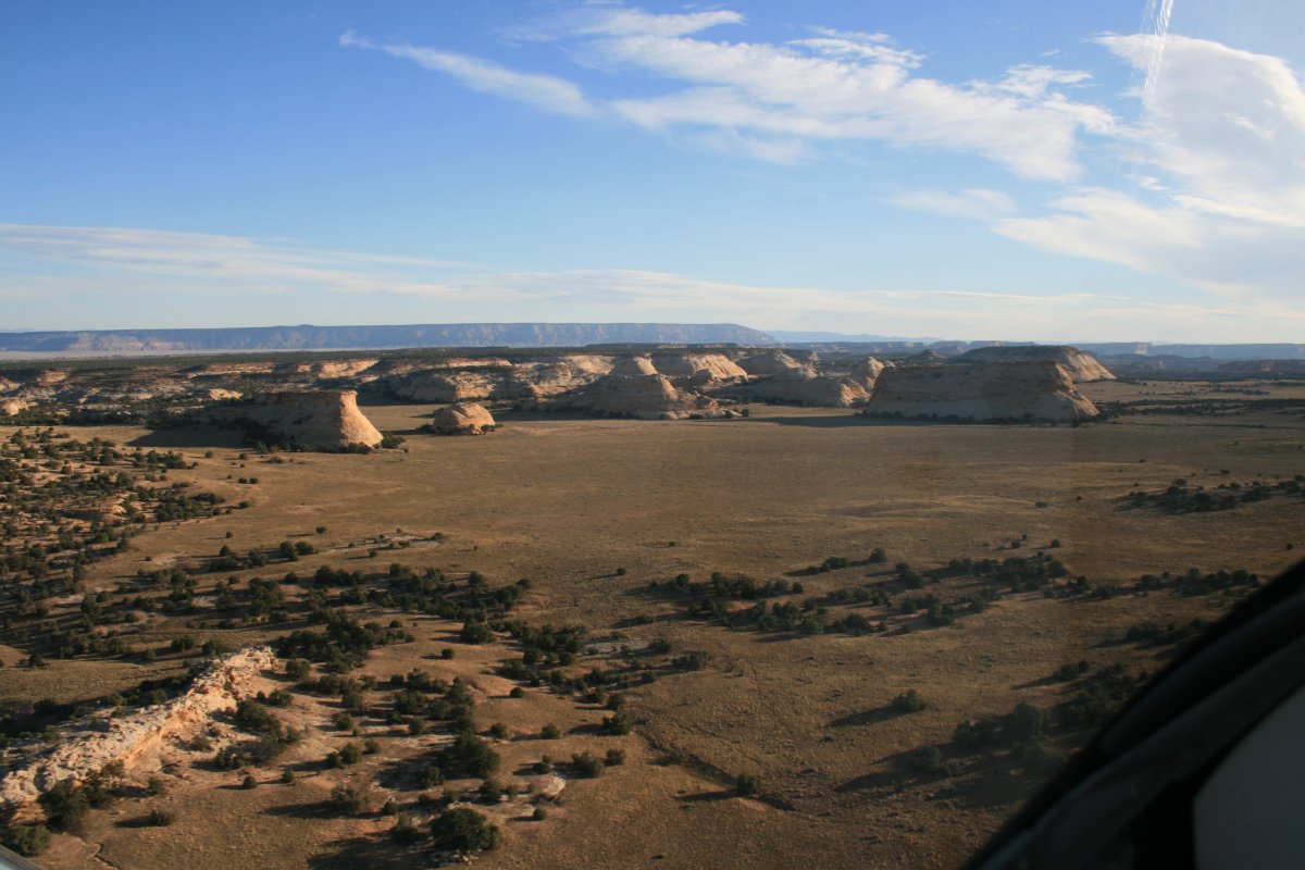
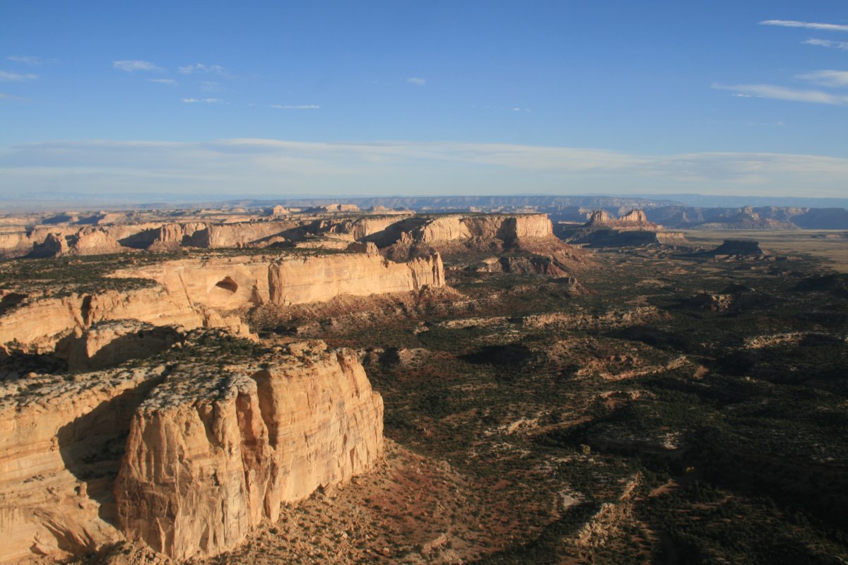
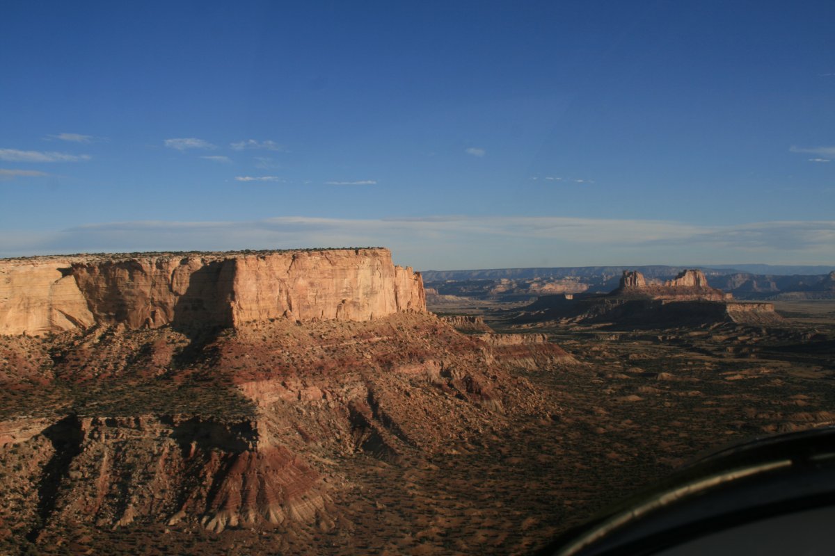
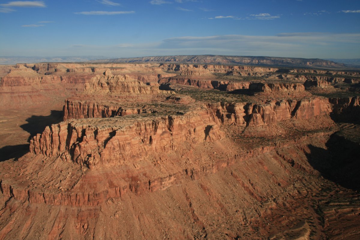
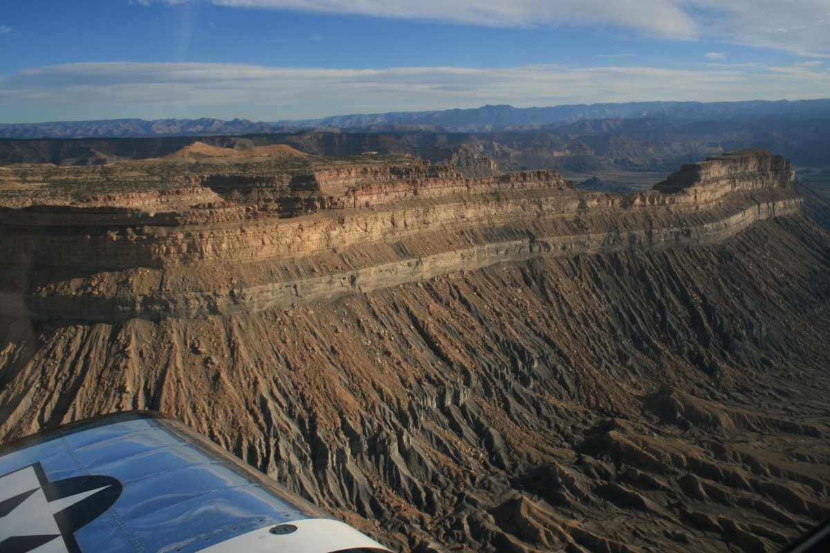
| This place is not a national park or monument. Just magnficent scenary that most people probably don't know about and will never see. (Unless they look at this web log!) I'm extremely fortunate to be able to see this country from the air. |
| |
 |
|
|
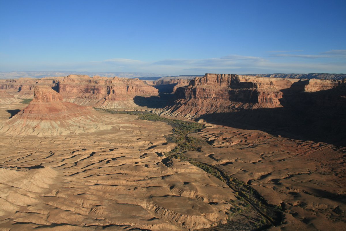
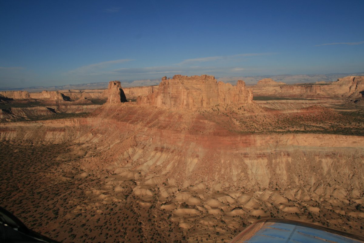
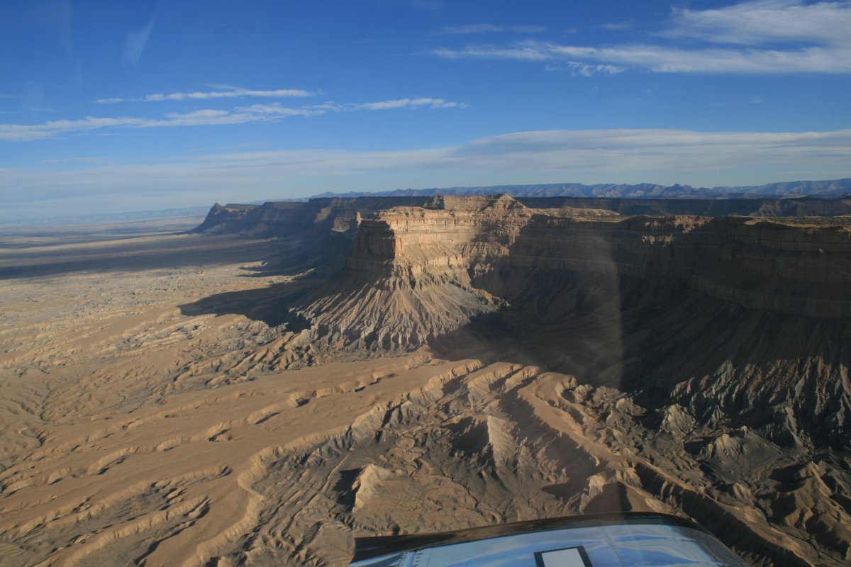
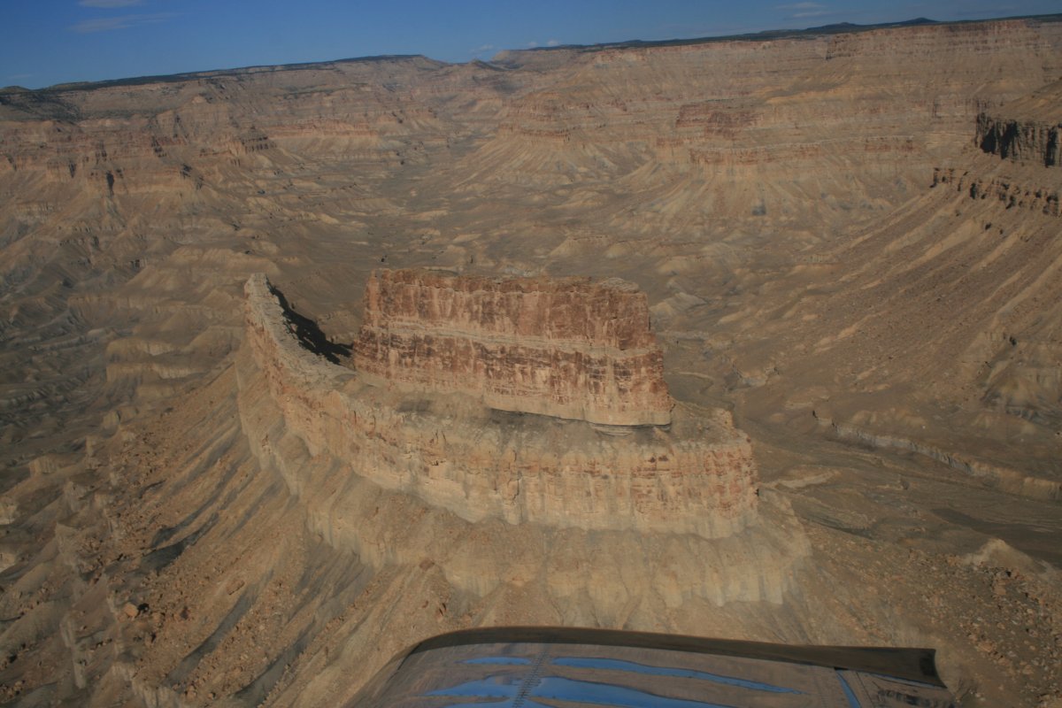
There were a about three passages throught the Swell and I made round-trips through them all. Why not? This is what I flew all the way out here for.
|
| |
 |
|
| |
| |
 |
|
| |
| |
 |
|
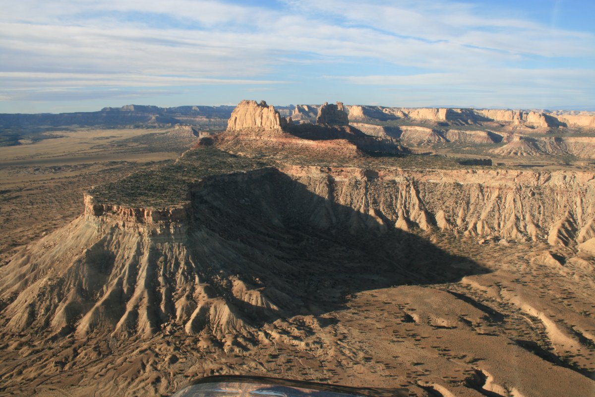
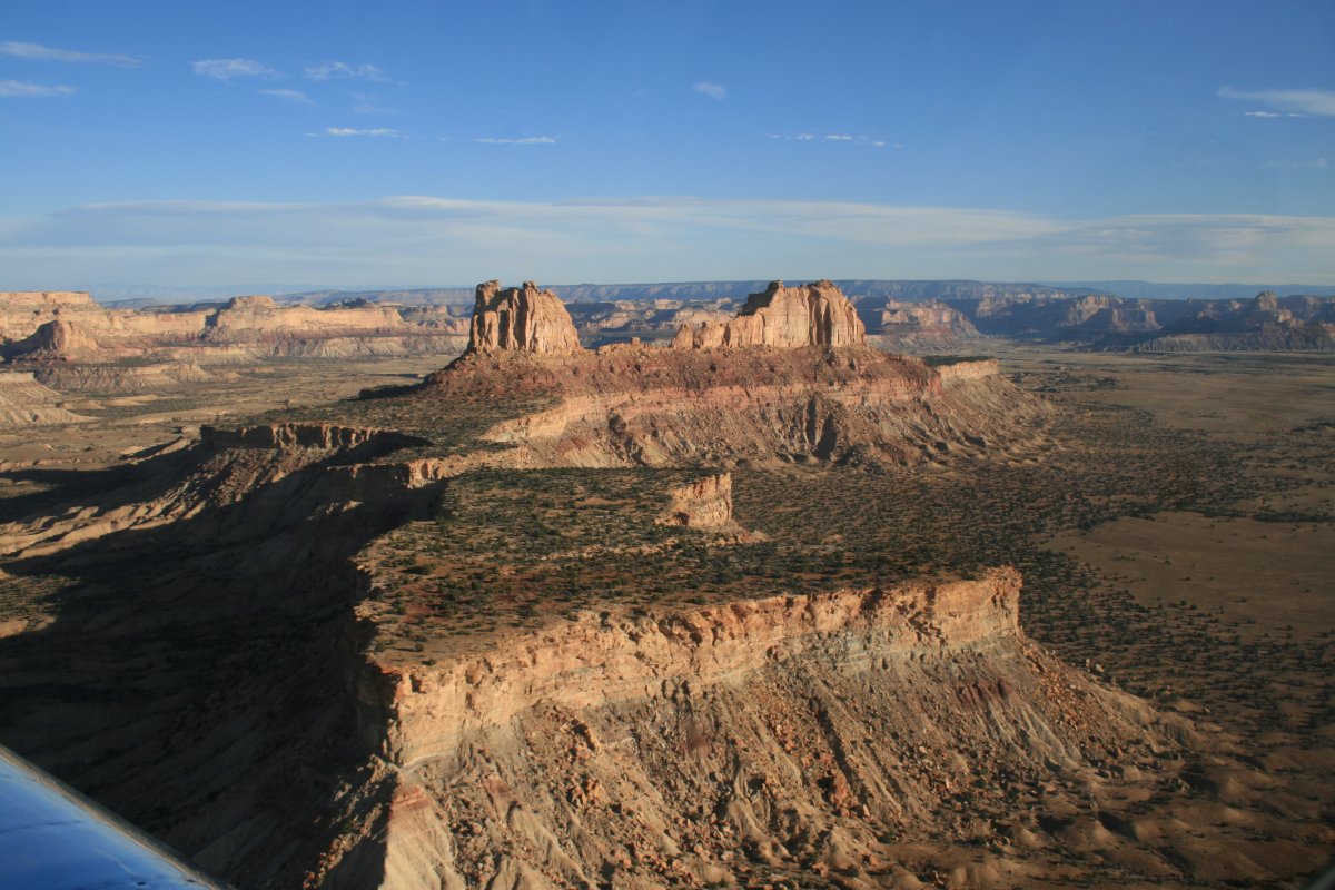
| I had fun flying around the eastern side of the Swell. |
| |
 |
|
|
|
| |
 |
|
|
|
| |
 |
|
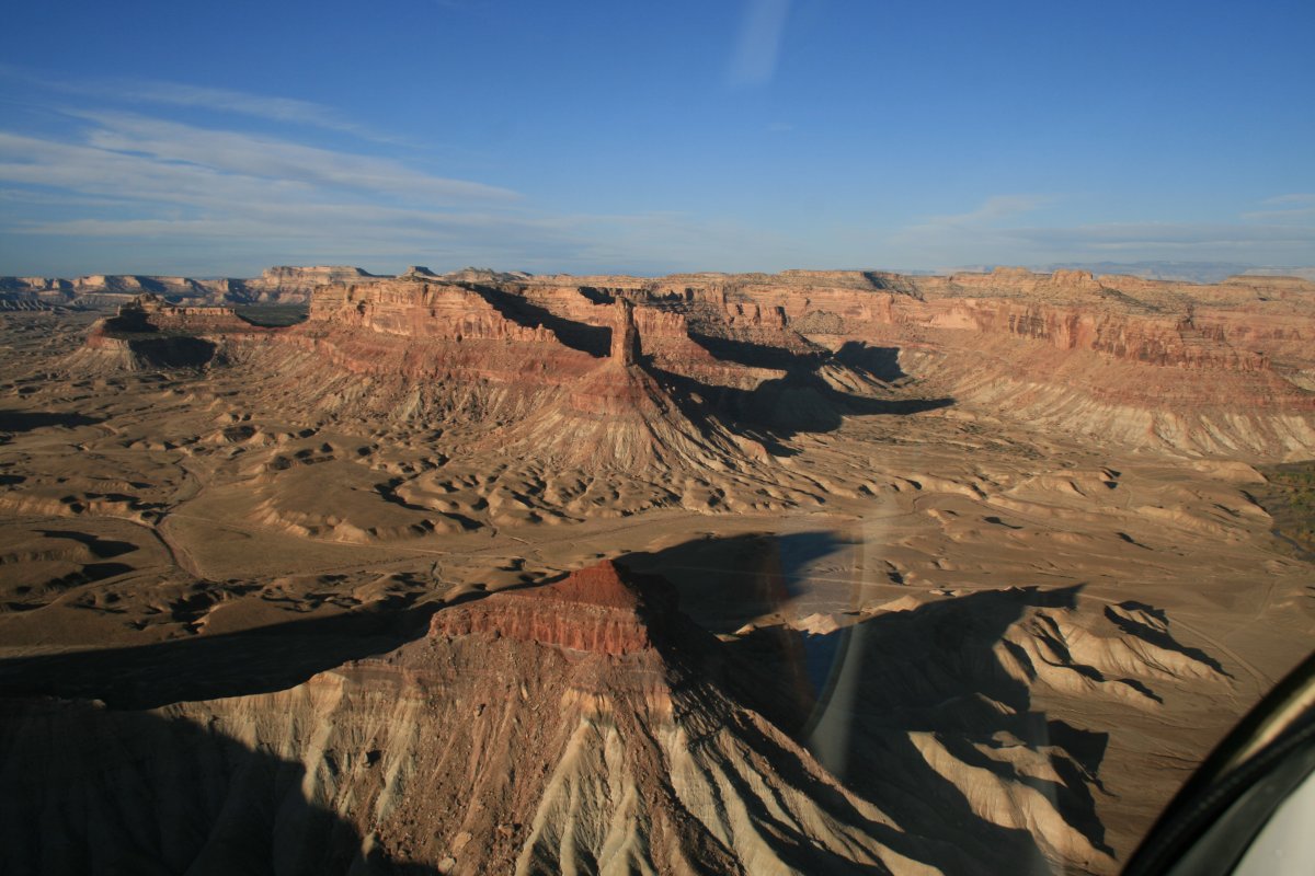
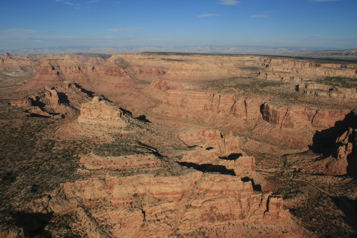
| Back into another mini-canyon. |
| |
 |
|
| |
| |
 |
|
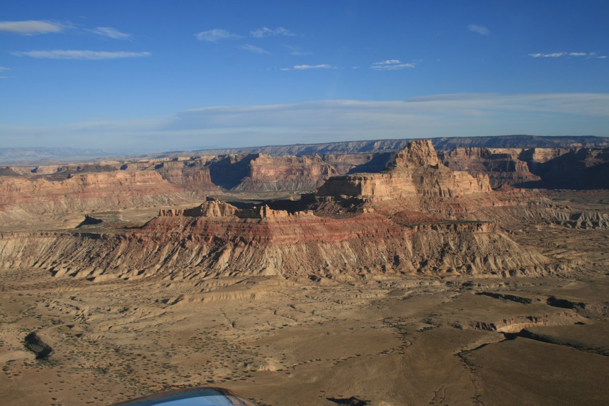
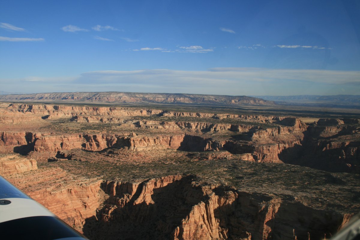
| Looking north with the San Rafael Swell on my left and the Tavuputs Plateau to the north. |
| |
 |
|
|
|
| |
 |
|
| |
| |
 |
|
|
|
| |
 |
|
| |
| |
 |
|
| |
| |
 |
|
| |
| |
 |
|
|
|
| |
 |
|
|
|
| |
 |
|
|
|
| |
 |
|
| This is the southern edge of the Tavuputs Plateau. |
| |
 |
|
| |
| |
 |
|
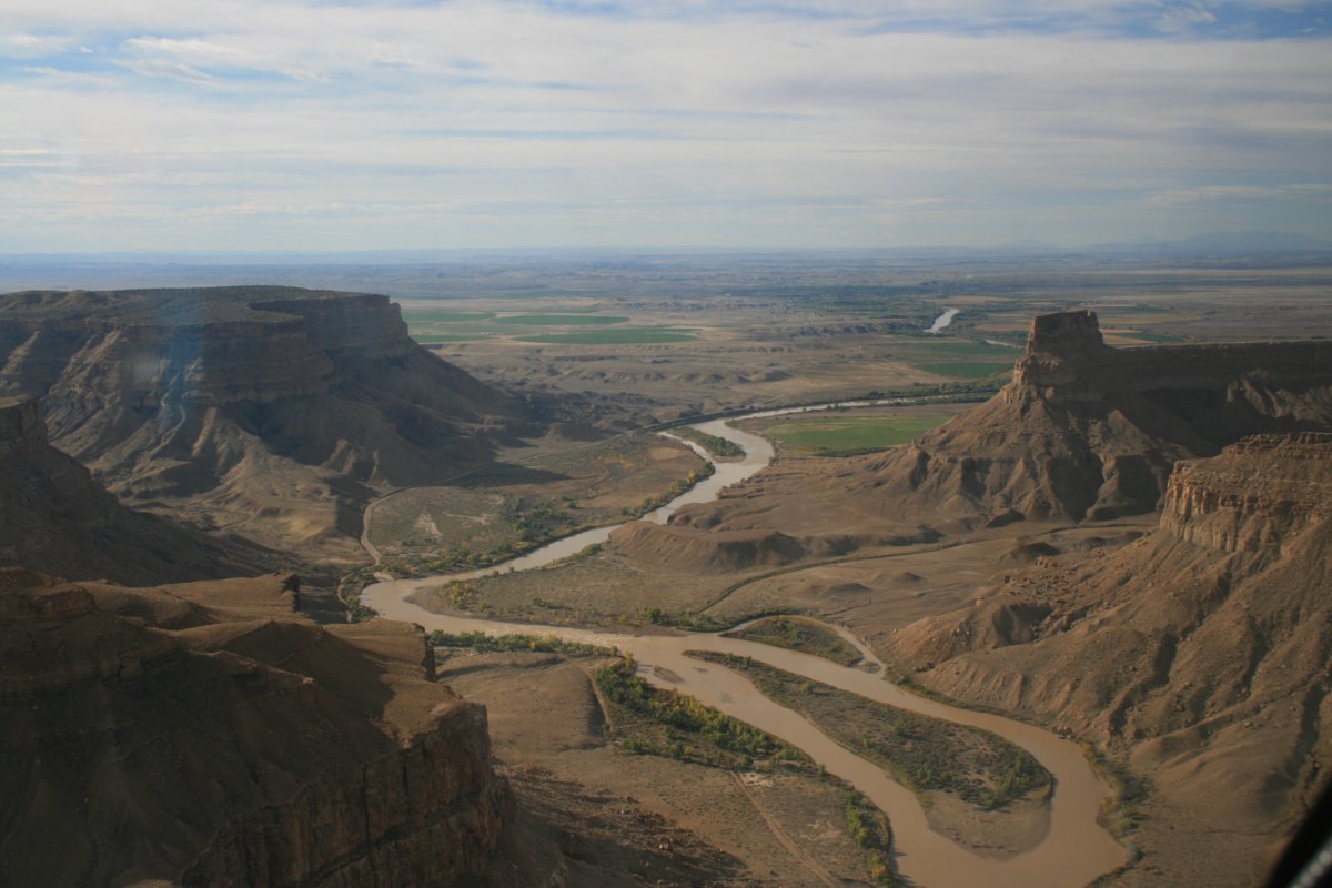
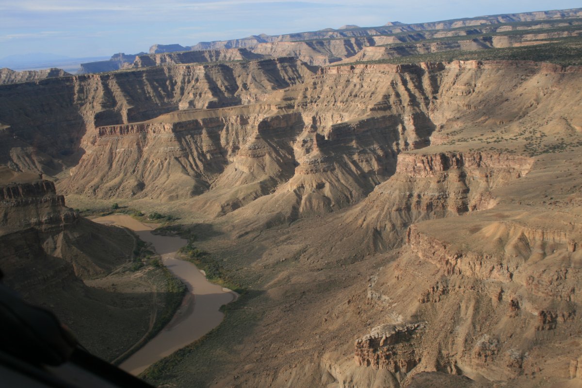
| Looking south where the Green River enters the Tavuputs Plateau. |
| |
 |
|
|
|
| |
 |
|
| |
| |
 |
|
|
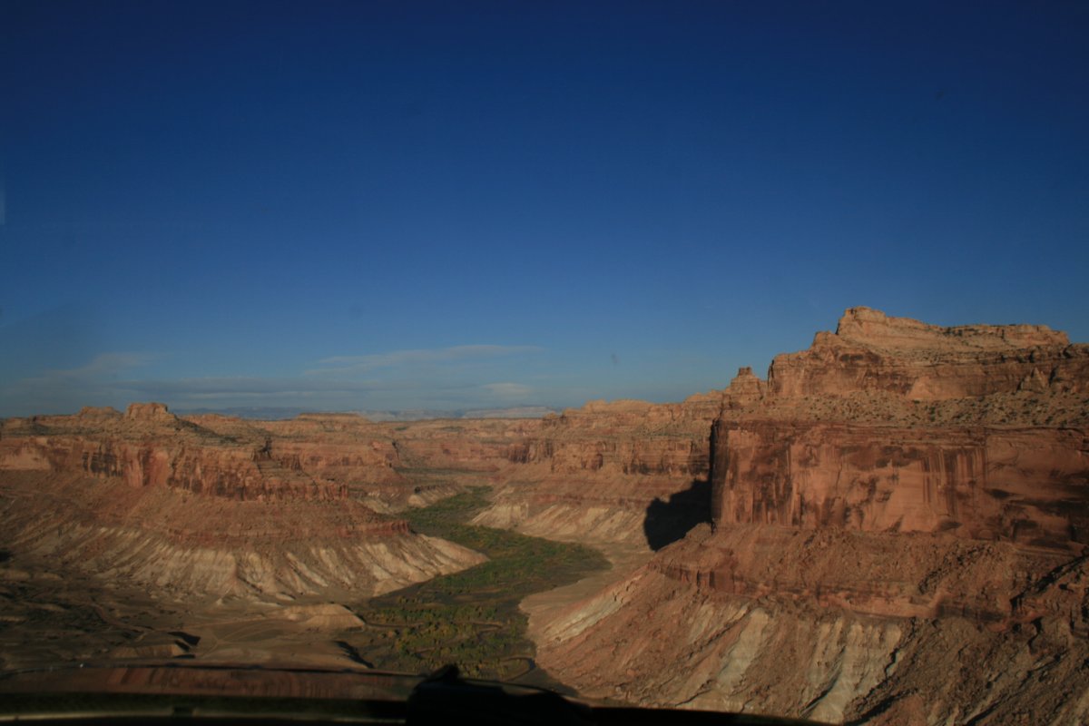
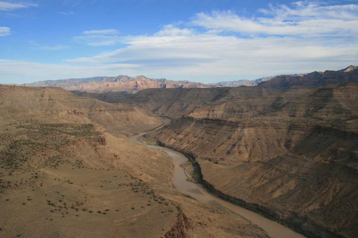
A little creek -- that once must have been a roaring river to cut this big canyon -- comes into the Green River from the west.
|
| |
 |
|
| The Green River heads north into what John Wesley Powell named "Desolation Canyon". |
| |
 |
|
| And north. The portion of the Green River which cuts through the Tavuputs Plateau -- Desolation Canyon -- was the only part I was not able to fly two years ago due to weather. So I'm about to finally get my chance. |
| |
 |
|
| |
| |
| |
|
|
|
|
|
|