Day 3 - Great Sand Dunes, Leadville, Blake
|
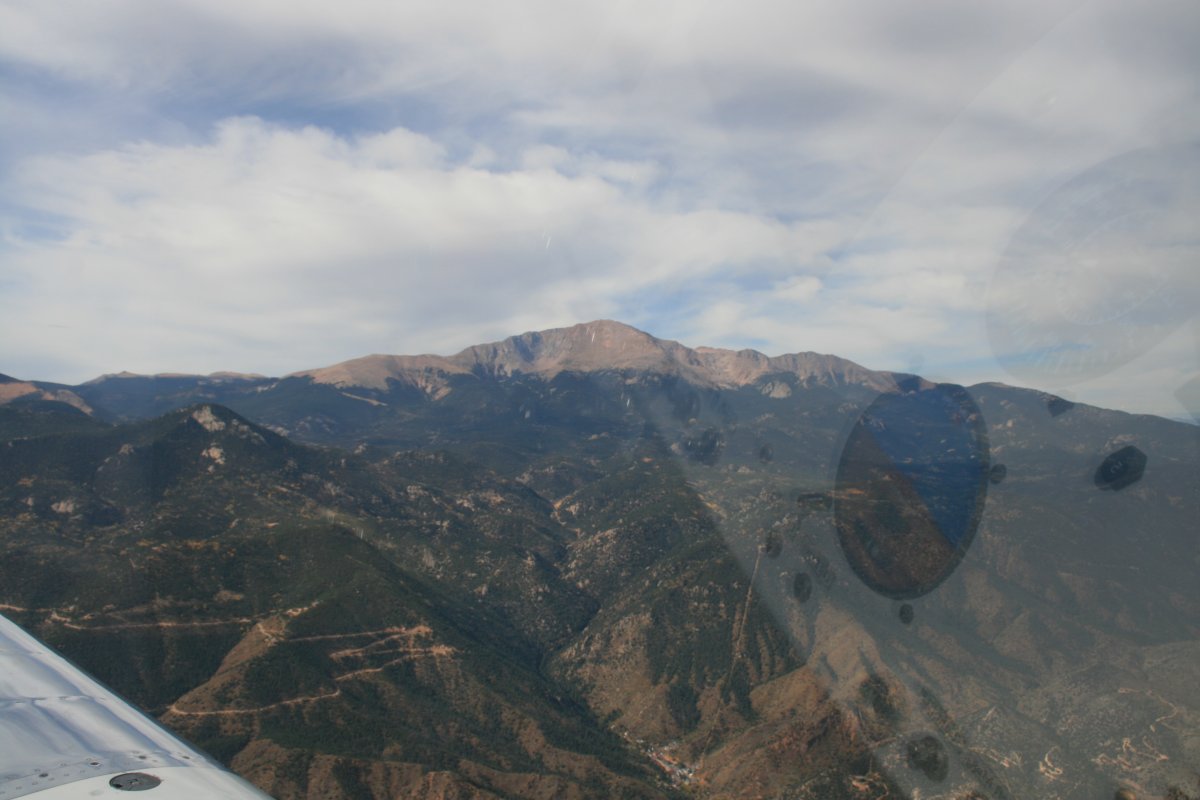
| I took off the next morning on runway 17 Right, turned northwest and there was Pike's Peak, a 14,000 foot mountain. Colorado Springs airport is at 6,187 foot elevation. |
| |
 |
|
|
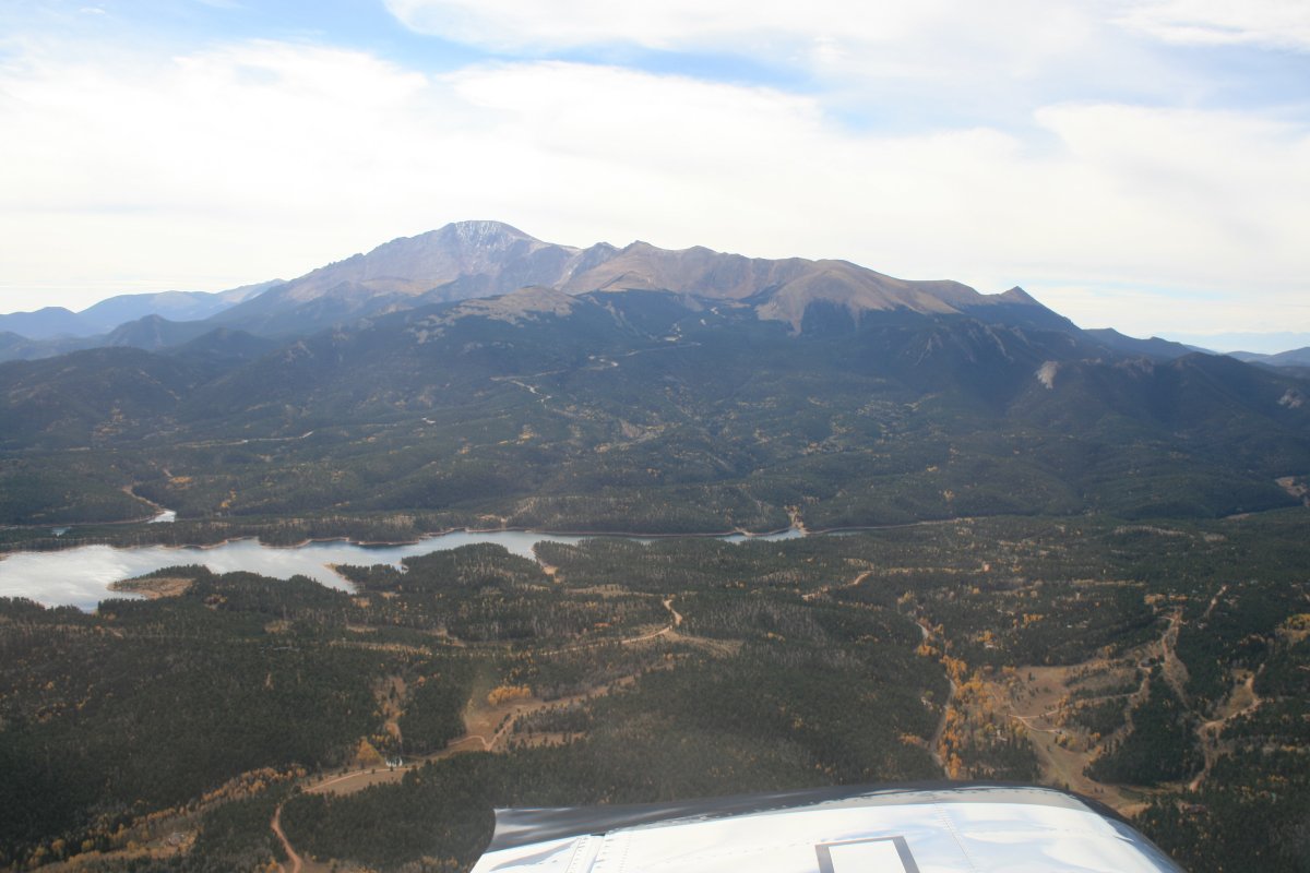
I went around Pike's Peak on the northern side. I was heading into territory I've never seen before: western Colorando, heart of the Rocky Mountains. It's a little intimidating although I've kind of worked up to it over the years.
|
| |
 |
|
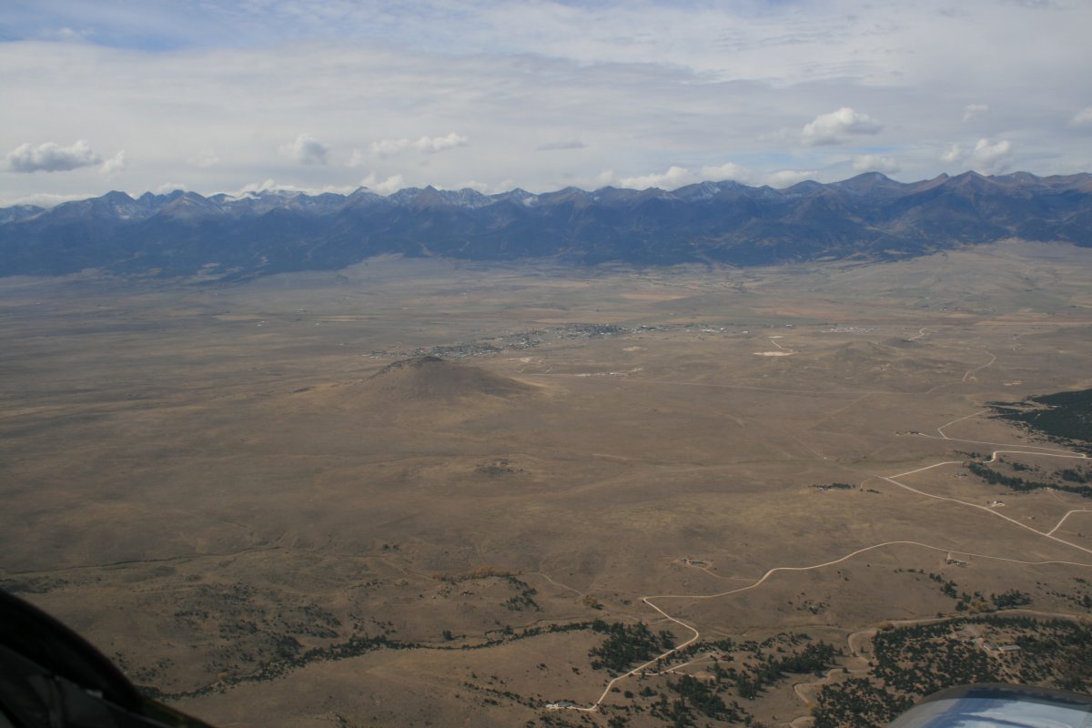
| Once on the western side of Pike's Peak, I headed south down the Wet Mountain Valley. Doesn't look so wet to me. They could have filmed High Plains Drifter here. |
| |
 |
|
|
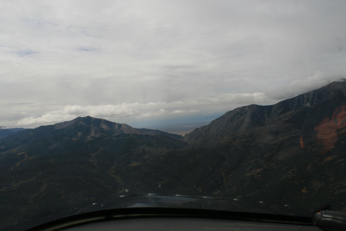
Heading towards a pass through the Sangre de Cristo Range.
|
| |
 |
|
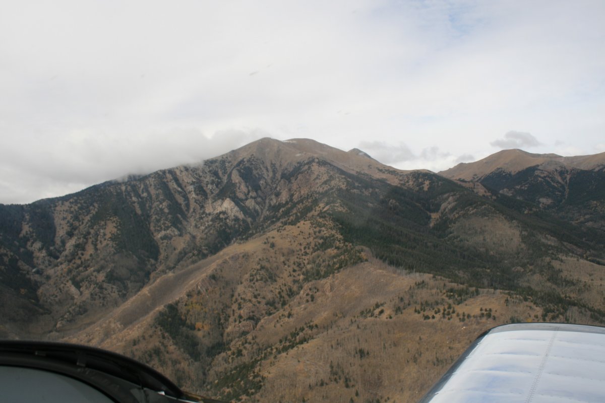
| Looking north as I go through the pass. |
| |
 |
|
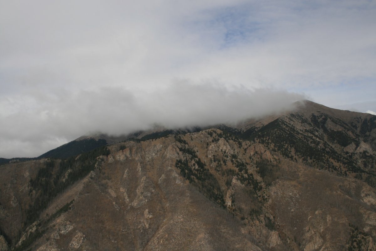
| An interesting cloud right at the peak. |
| |
 |
|
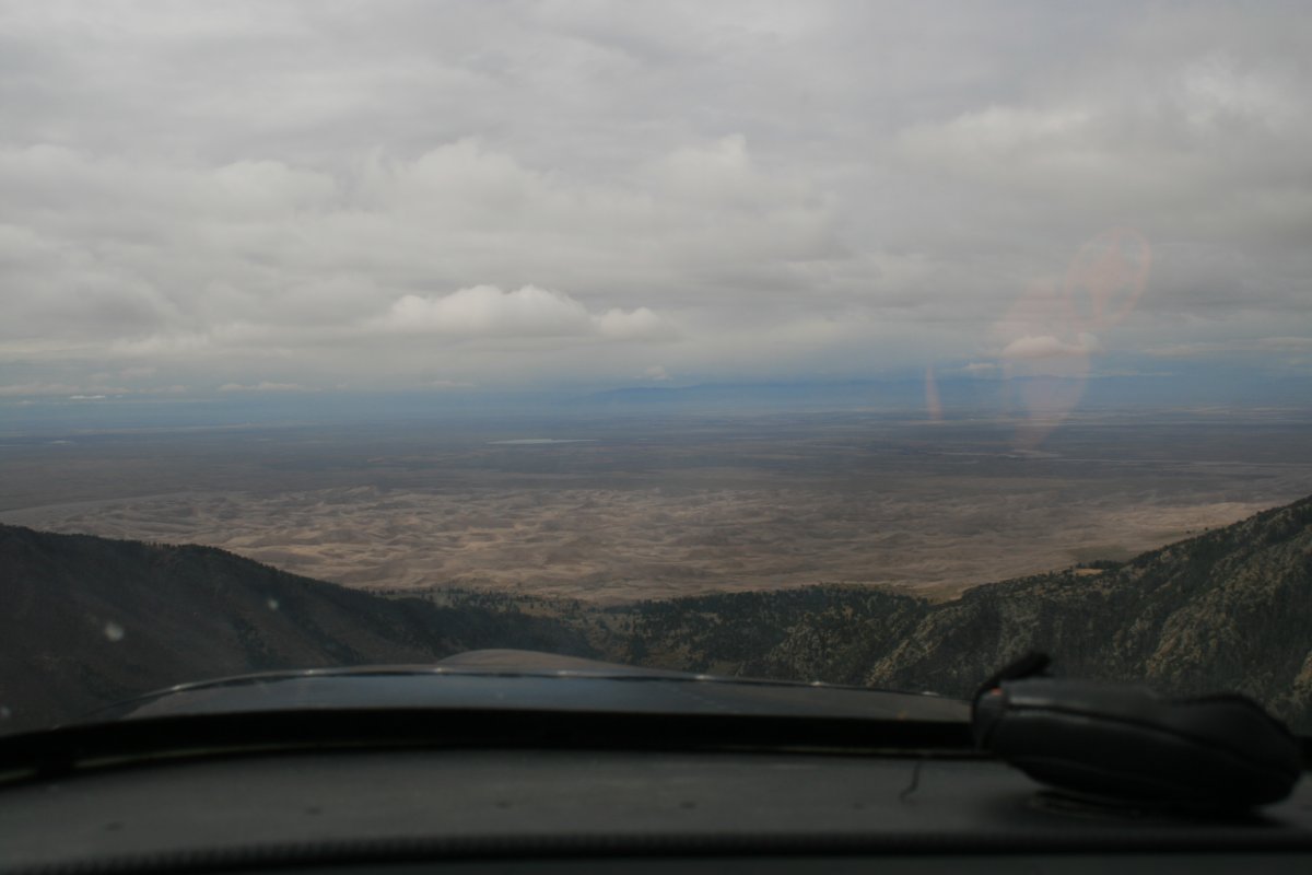
| I get my first glimpse of the Great Sand Dunes National Park on the other side of the Range. |
| |
 |
|
|
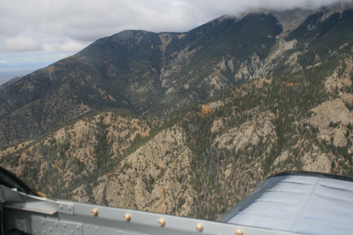
Looking north against as I go through the pass.
|
| |
 |
|
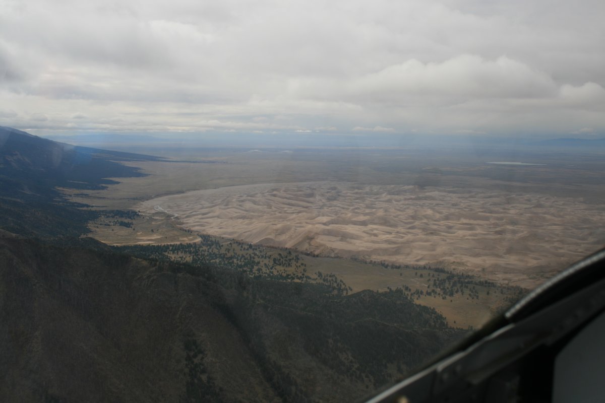
| A good picture of the Great Sand Dunes on the western side of the Sangre de Cristo Range. |
| |
 |
|
|
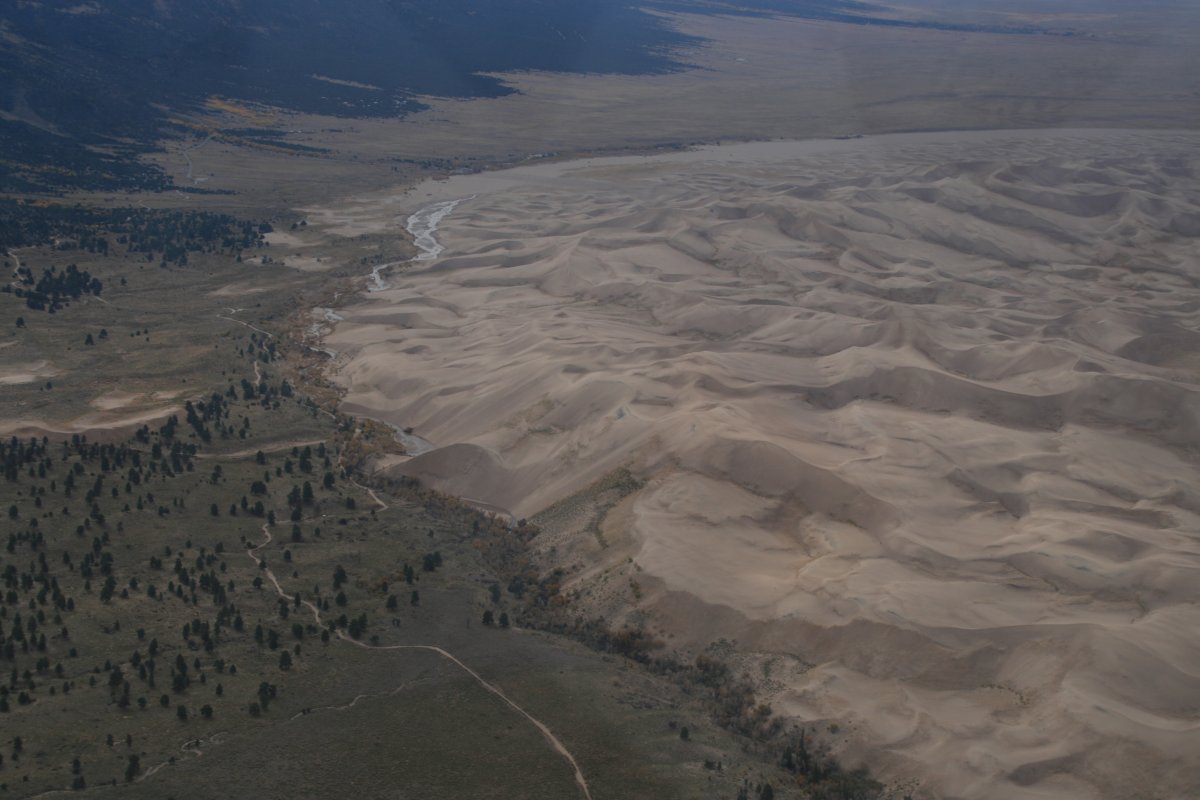
A little closer look.
|
| |
 |
|
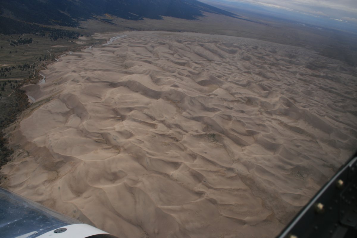
| Those dunes look big from the air. They must be monsters from the ground. |
| |
 |
|
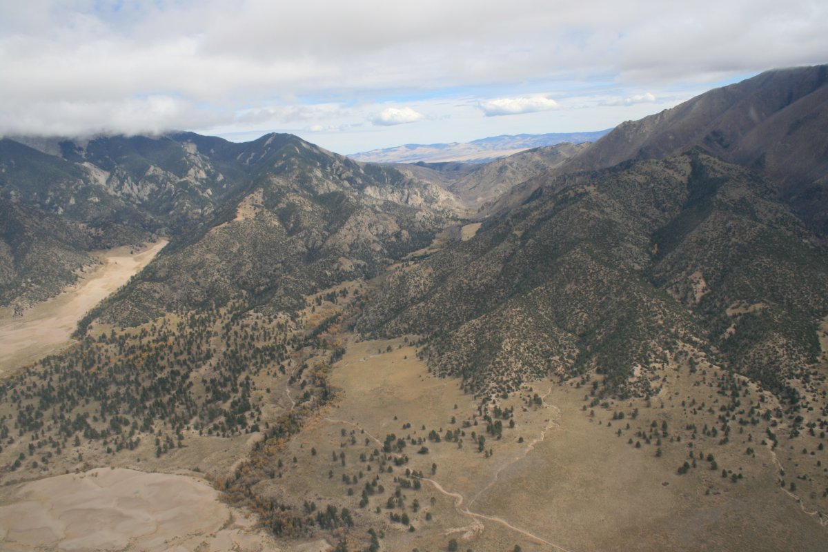
| Looking back at the pass where I came through the Range. |
| |
 |
|
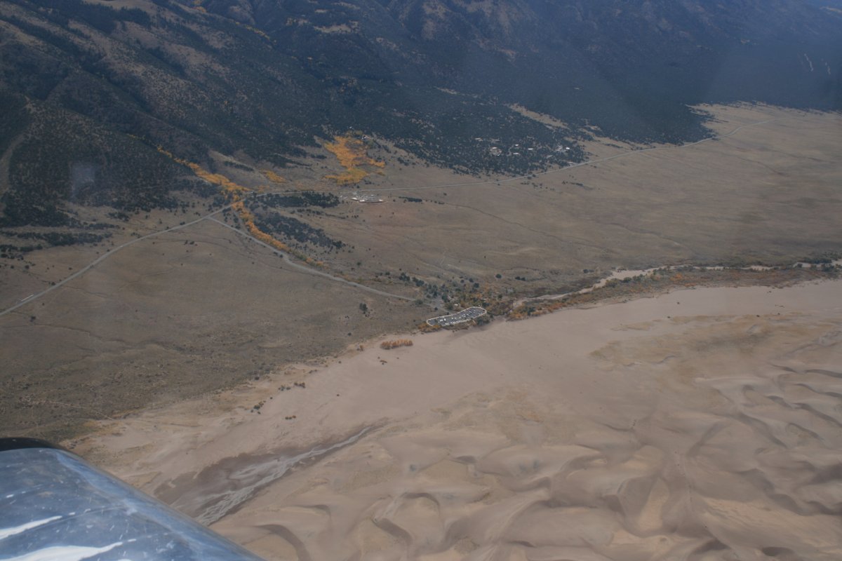
| The visitor's center and parking area for access to the dunes. I could see little black people dots in a line from the parking lot to a big dune near the edge. I imagine the rest of the national park is probably empty. Maybe a handful of people camping out in the dunes perhaps. |
| |
 |
|
|
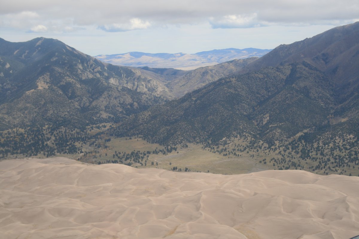
It's amazing how the dunes just suddenly stop.
|
| |
 |
|
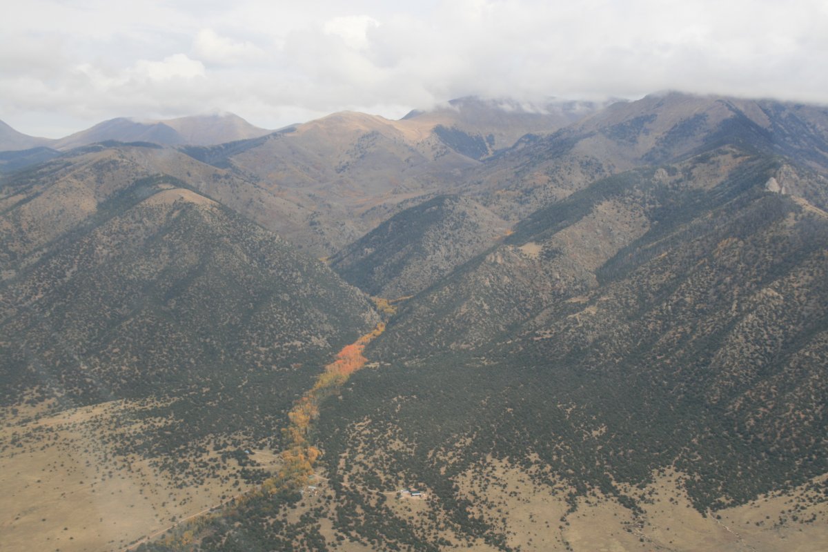
| I left the Great Sand Dunes and headed north up the big valley. There were a few places with color but looks like I'm late for the majority of foliage by a few weeks. Who knew? |
| |
 |
|
|
Looking west. There are some big mountains that way.
|
| |
 |
|
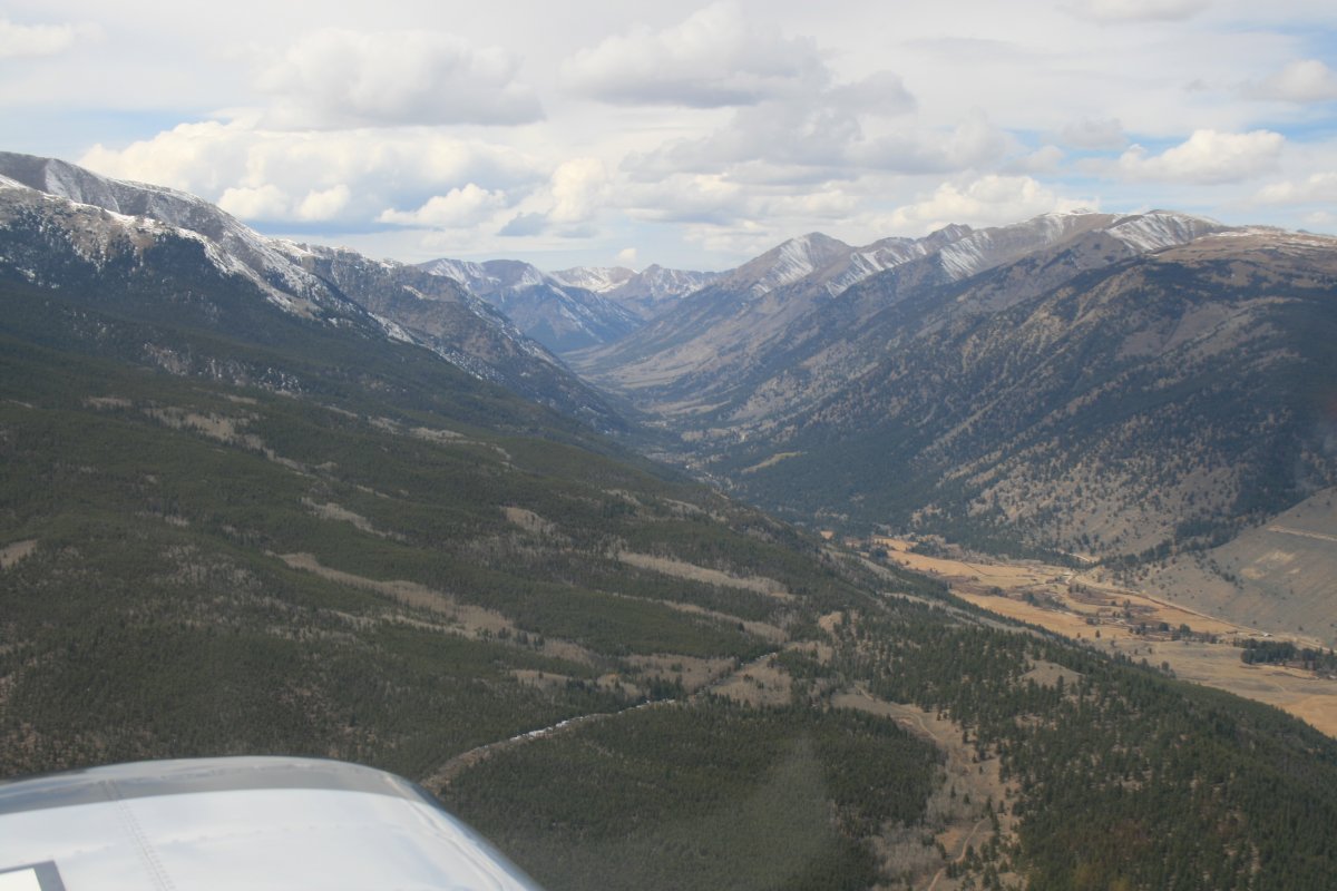
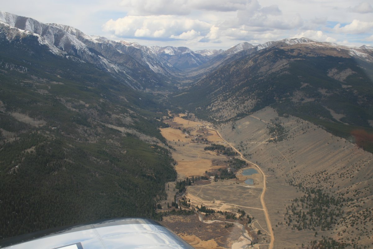
| I'm climbing steadily up the valley and seeing more and more snow out to the west. |
| |
 |
|
|
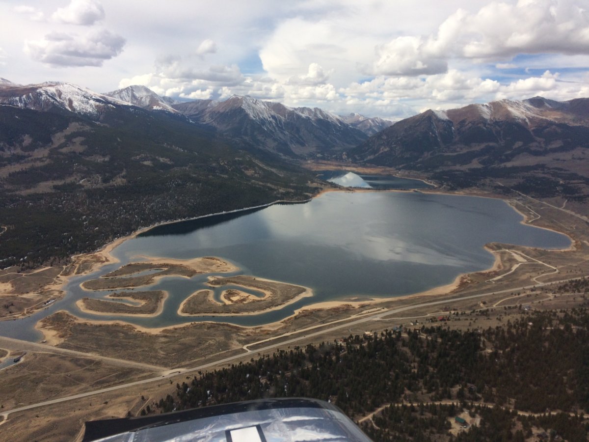
The lake with the magnificent snow-tipped mountain background is worth another shot.
|
| |
 |
|
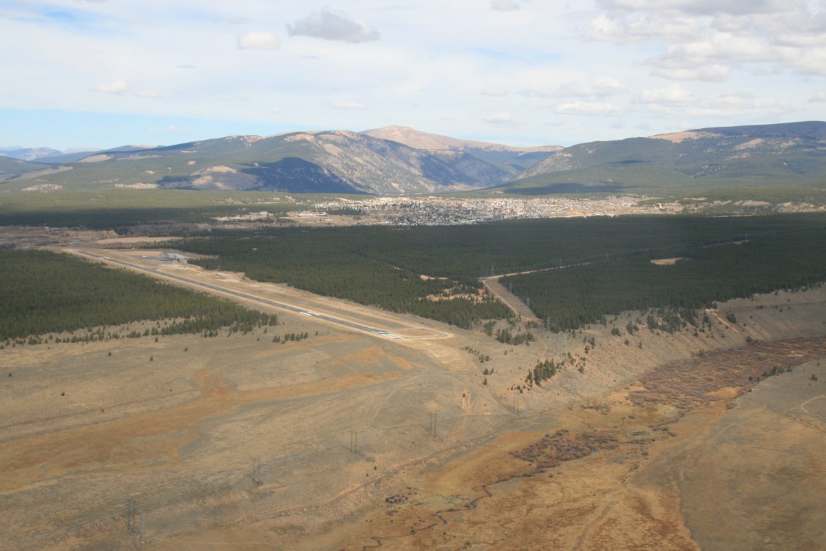
| There is is Lake County Airport (KLXV ), field elevation 9,933 feet, highest airport in North America. The town of Leadville is in the background. |
| |
 |
|
|
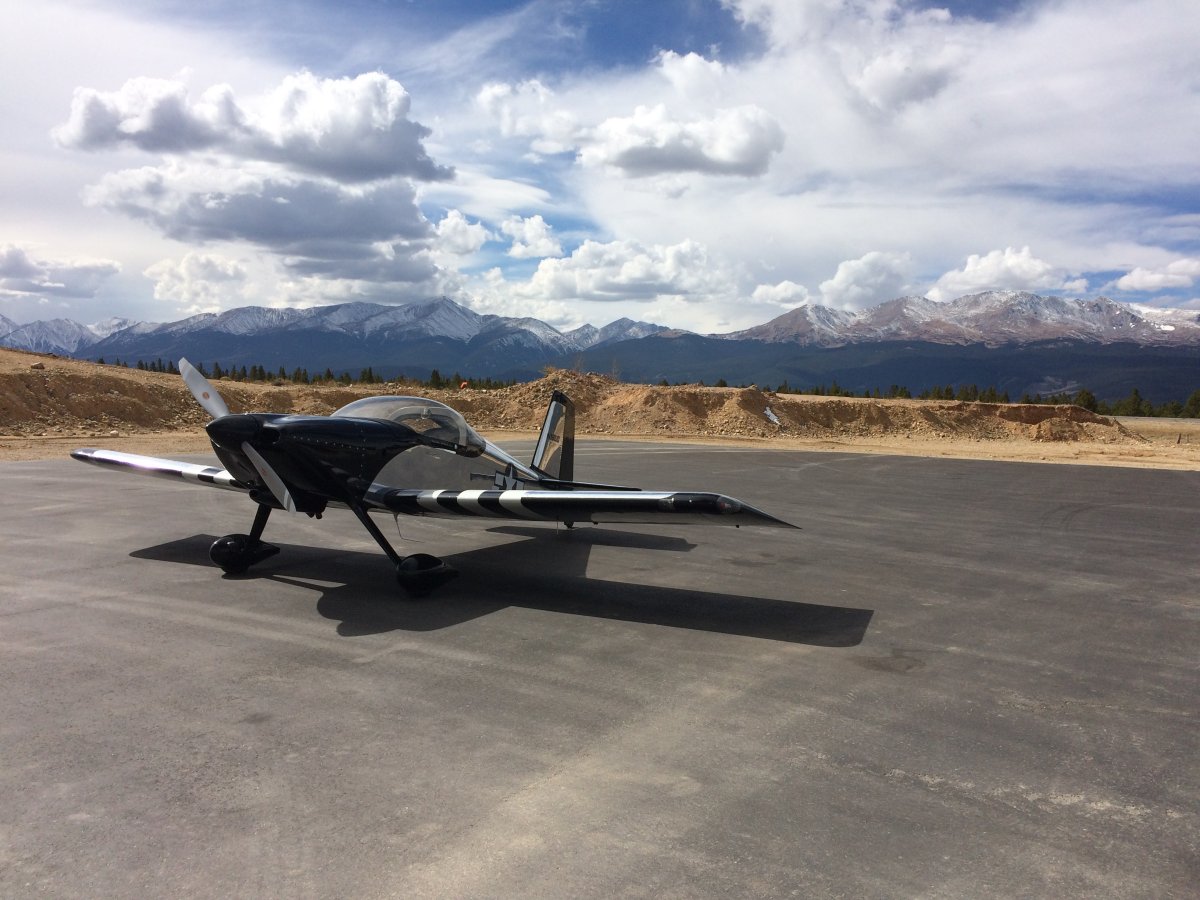
Safe on deck. The landing at high altitude didn't seem much difference than any other.
The airport had an attended FBO. I fueled up, then borrowed the courtesy car to go into town for some Huevos Rancheros at Grizzily Pete's.
|
| |
 |
|
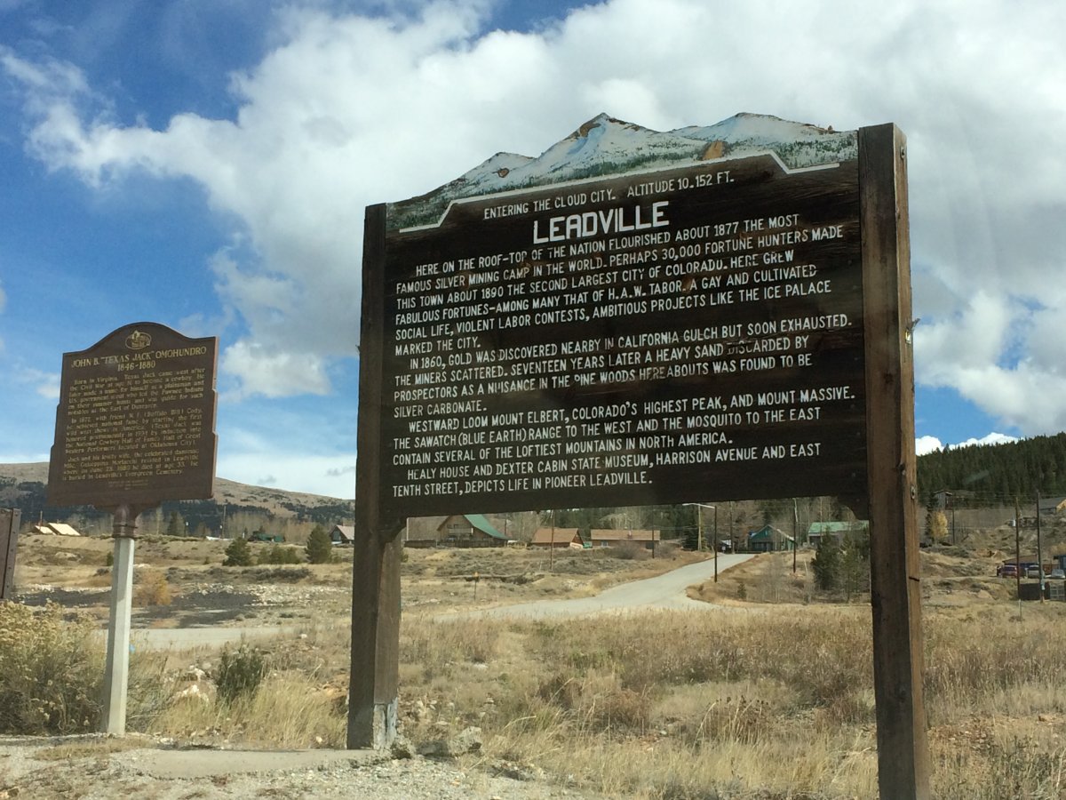
| A little Leadville history for you. |
| |
 |
|
|
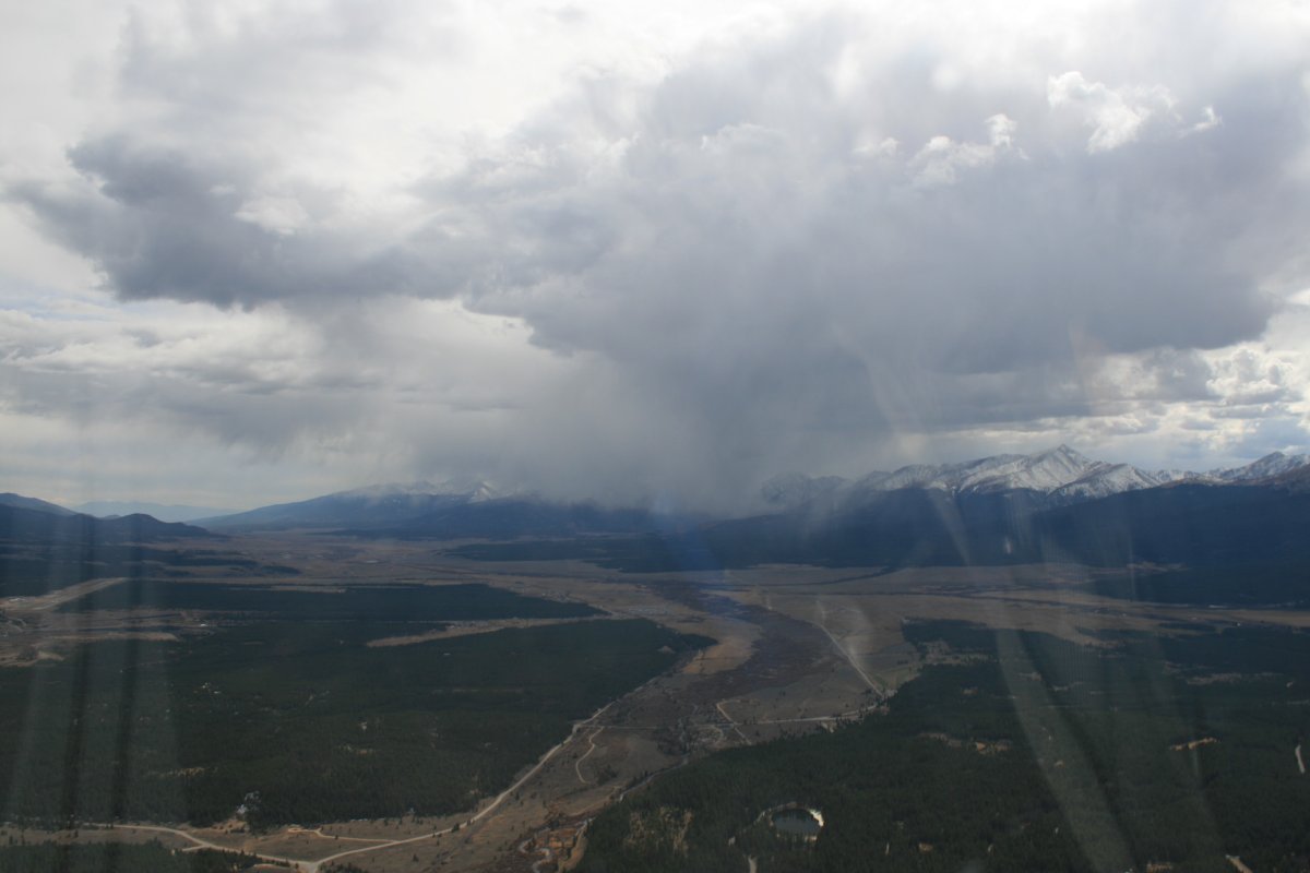
I saw this storm to the south when I returned to the airport so I expedited my takeoff. This high, I imagine there is ice and snow under that big cloud.
|
| |
 |
|
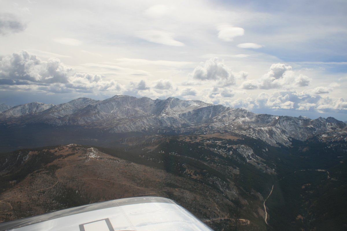
| I headed northwest through Lemhi Pass. Even though it was a pass, I still had to go up high, 13,500 to get through. Of course, I was already at 10,000 feet when I took off so it wasn't like I had to climb that much. The RVs climb performance was surprisingly good despite the high altitude. |
| |
 |
|
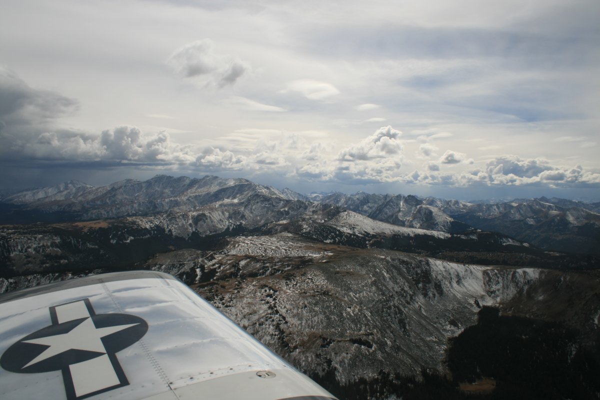
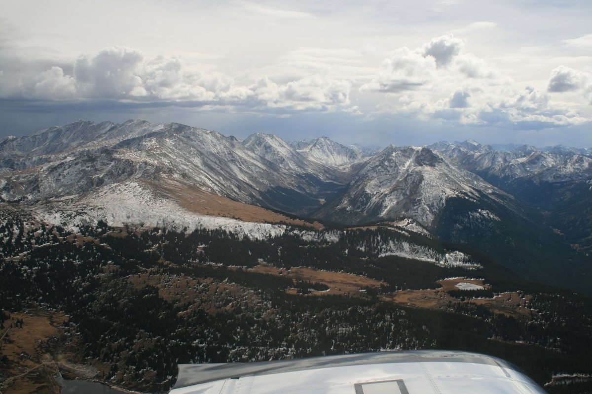
| I felt like I was flying over the top of the word at this point. |
| |
 |
|
| Very pretty. |
| |
 |
|
| |
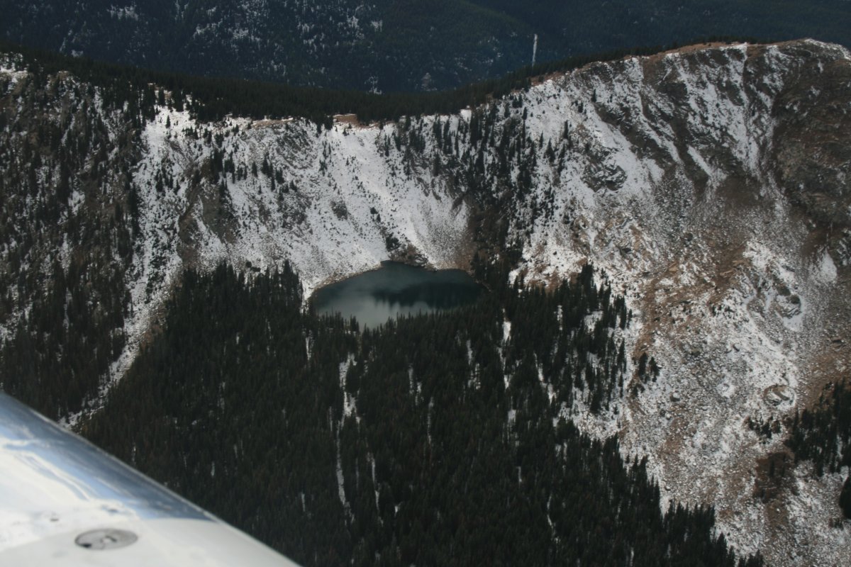
| I bet the water is a little cool in that little lake close to at the mountain summit. |
| |
 |
|
|
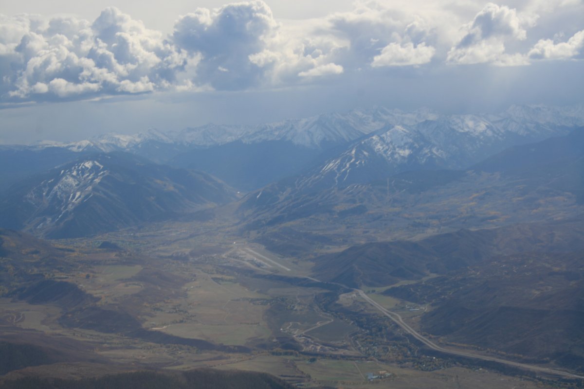
Then I was through the pass and over the big valley. Way down there is Aspen airport (KASE) -- elevation 7,800 feet! -- in the middle of the picture. It's a towered airport; no doubt because of all the business/personal -- expensive -- jets that fly in.
|
| |
 |
|
|
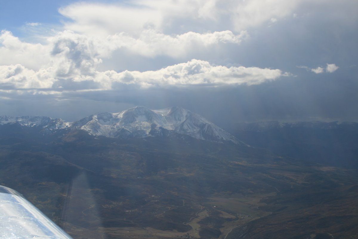
There was some serious weather to the east. I could see it on my XM Satellite weather, and of course, out the window. Essentially, I had circled around the north side of it. It was amazing to see blue sky, sunlight, a 14,000 foot snow-covered mountain, and a storm all in the same view.
Later on, a pilot who lives out here told me it is fairly common around here for storms to pop-up in the afternoon.
|
| |
 |
|
|
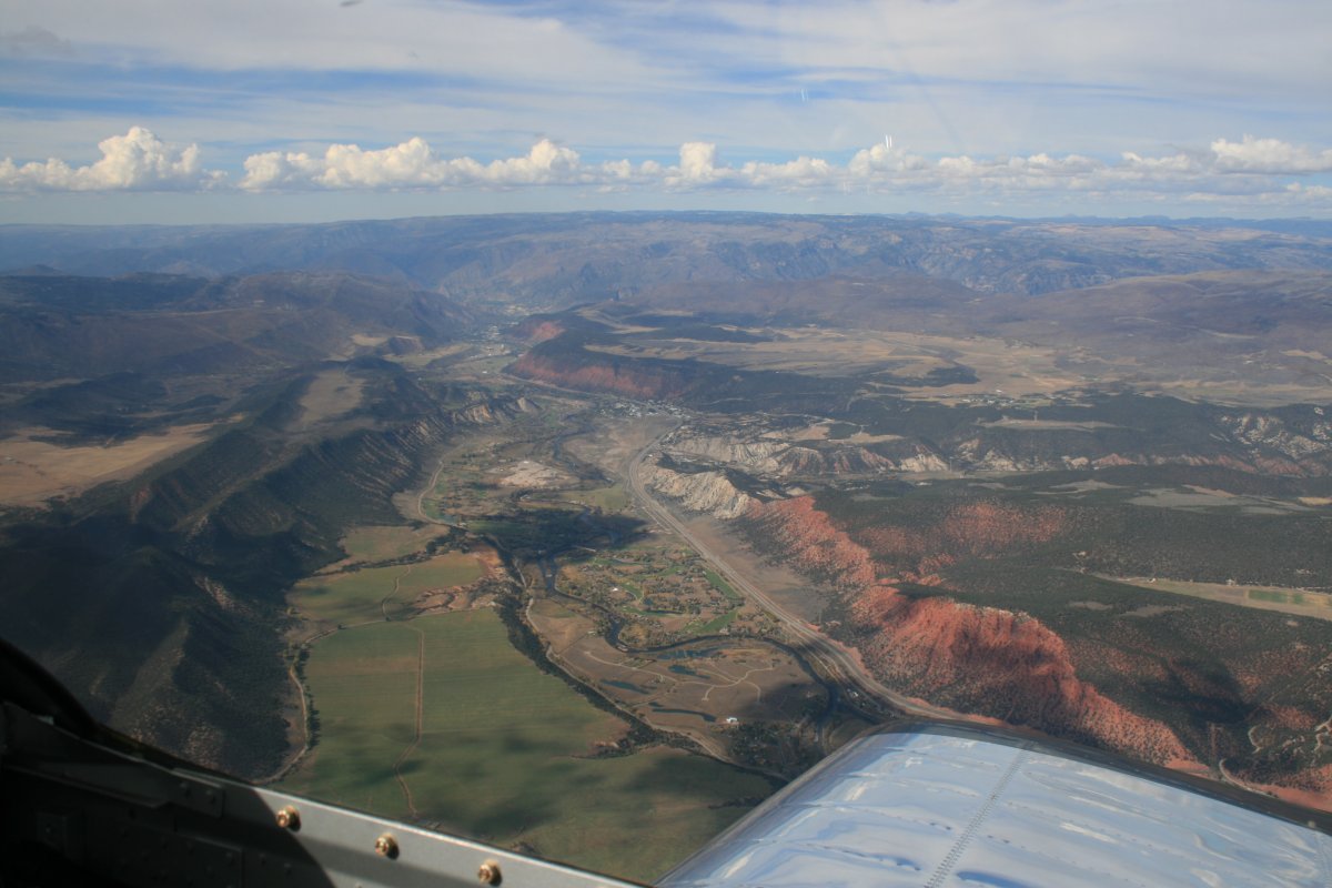
I was headed downhill now, towards my destination: the Black Canyon of the Gunnison River.
|
| |
 |
|
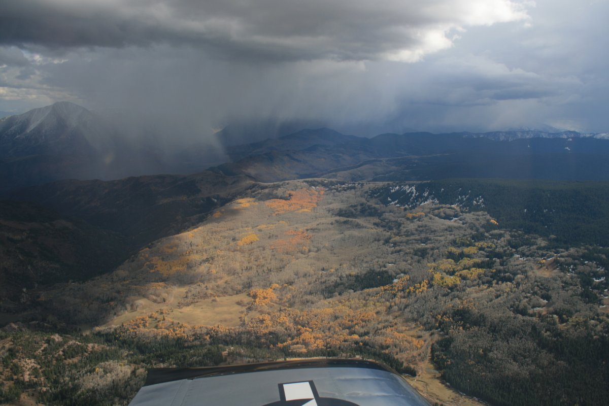
| The weather was still visible to the east. |
| |
 |
|
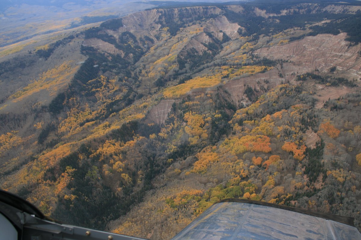
| Some pretty color in the lower altitude. |
| |
 |
|
| |
| |
 |
|
|
|
| |
 |
|
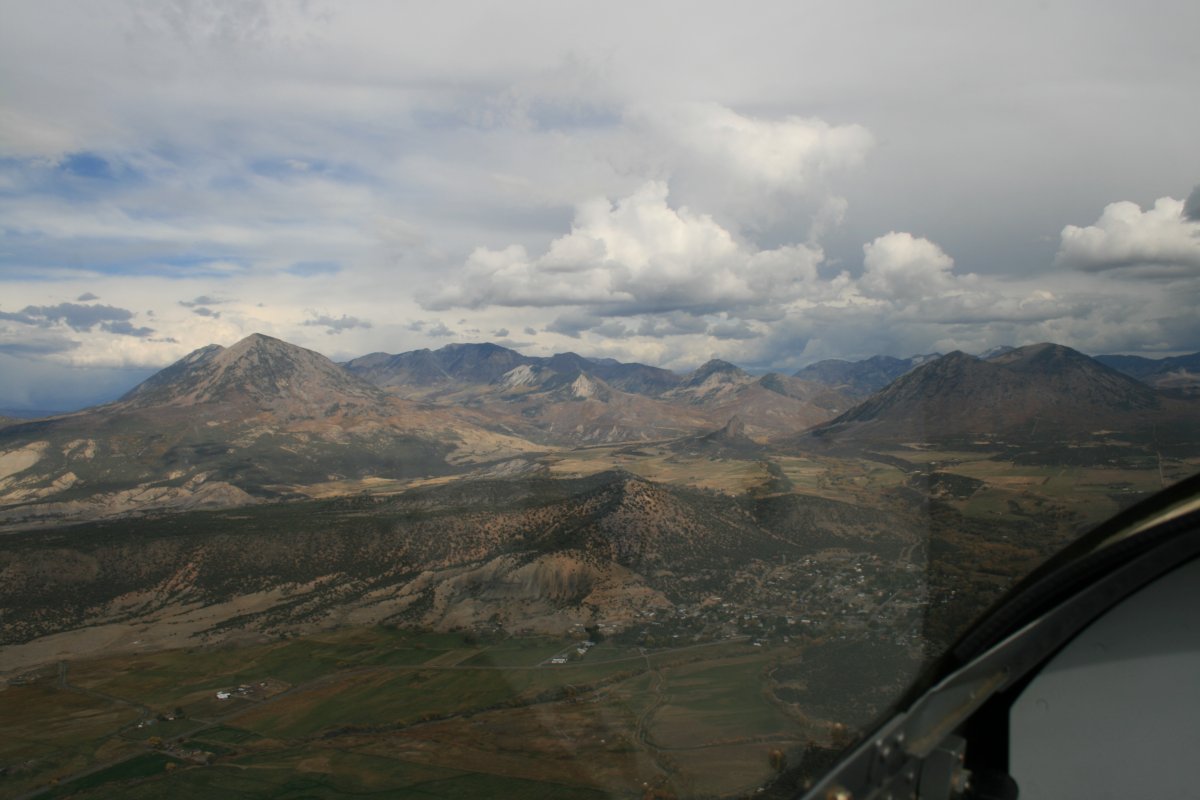
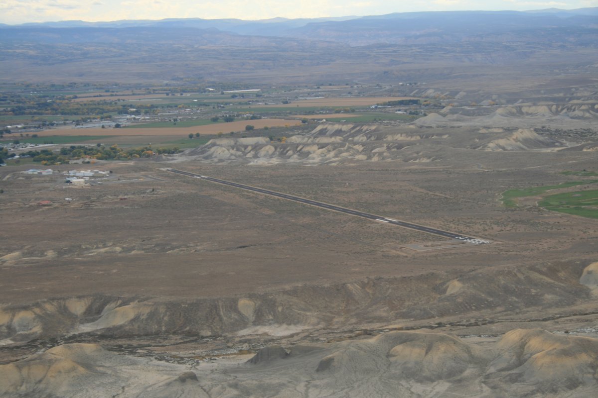
| It was mid-afternoon, the air was bumpy, the lighting wasn mediocre, and the weather was uncertain, so I decided to call it a day and do the Black Canyon tomorrow morning. My overnight destination was Blake Field Airport (KAJZ) in the little Colorado town of Delta. I had researched all the potential overnight stop airports in this area and thought this one would be good. It had self-service fuel at a good price and the all-important courtesy car. |
| |
 |
|
|
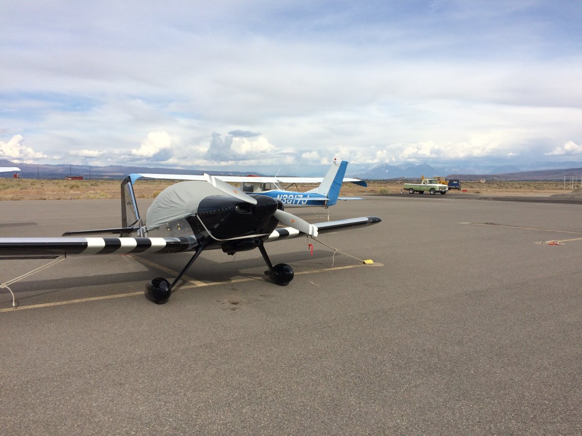
Safe on deck and secured for the night at Blake Field Airport in Delta, Colorado. An airport regular was there -- also an RV driver --and I talked with him for awhile. He showed me where the keys to the courtesy car were, told me about a good place to eat in town, and suggested some good areas to check out from the air tomorrow. I found a Days Inn in town for a reasonable rate and had a steak dinner at the suggested restaurant. Felt I owed it to myself. Good first day.
|
| |
 |
|
| |
| |
|
|
|
|
|
|


