Day 4 - Black Canyon of the Gunnison River
|
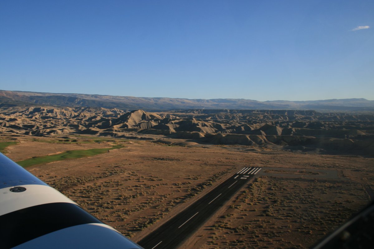
| I got off to an early start and was airborne soon after sunrise, around 8AM. The weather was fabulous. Here I am taking off at Blake Field airport. The terrain at the end of the runway reminds me of the Badlands. |
| |
 |
|
|
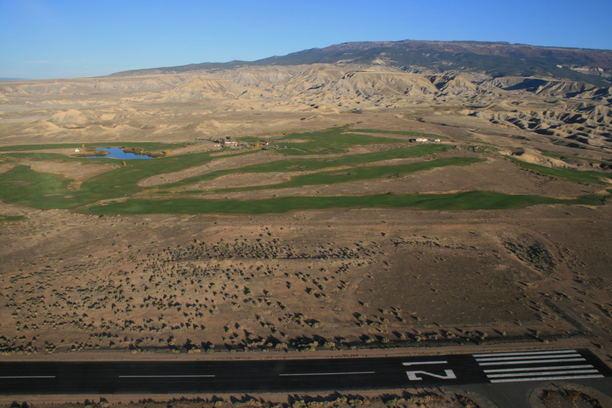
A golf course was just to the west of the airport.
|
| |
 |
|
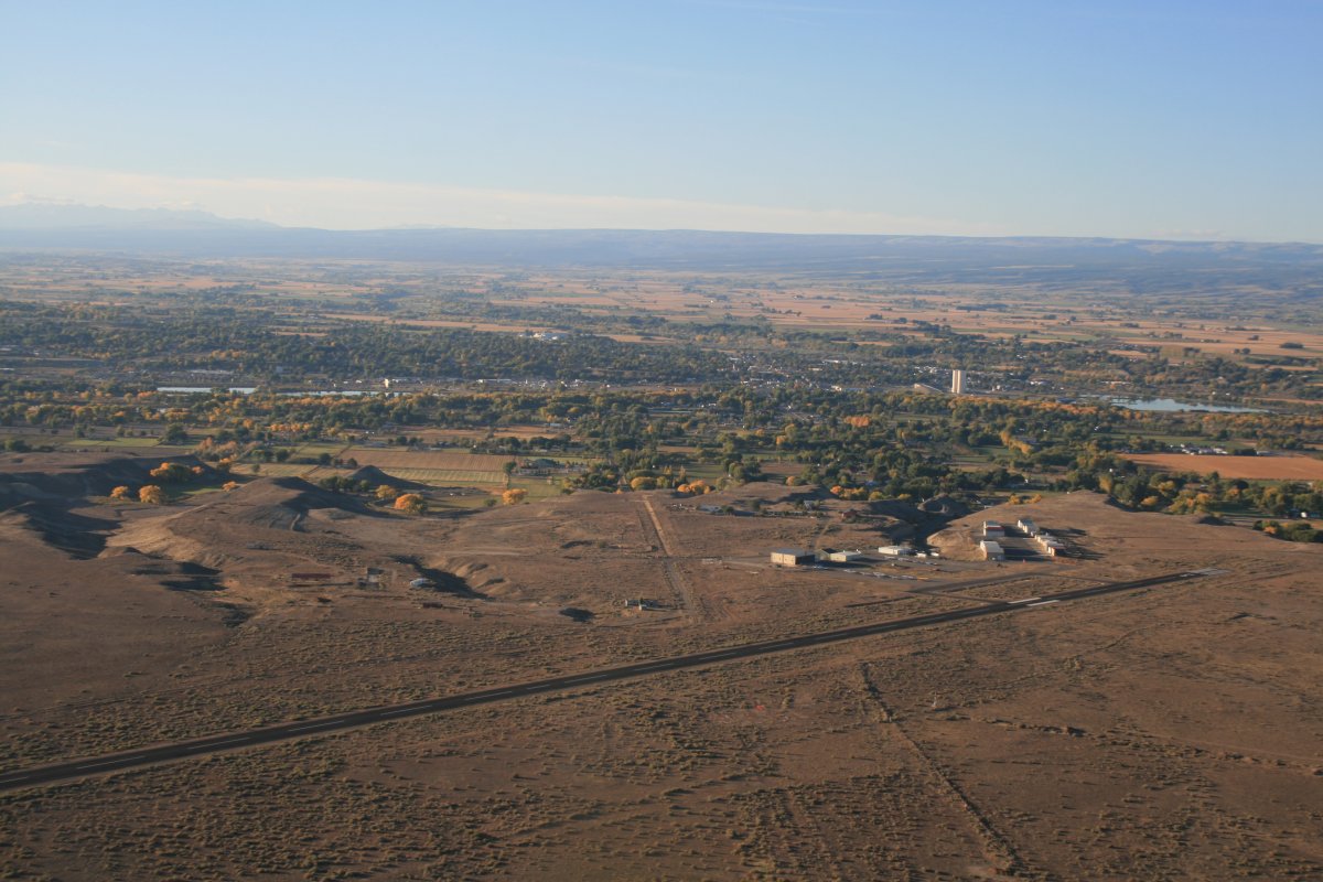
| A better look at the airport with the town of Delta behind it. |
| |
 |
|
|
I headed southwest to the Black Canyon of the Gunnison National Monument.
|
| |
 |
|
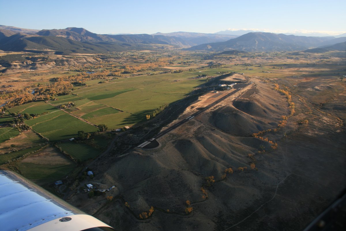
| Actually, I went east at first, following the wrong river, and ended up over North Fork Valley (7V2) airport. It was interesting how the airport sits up on top of a hill. |
| |
 |
|
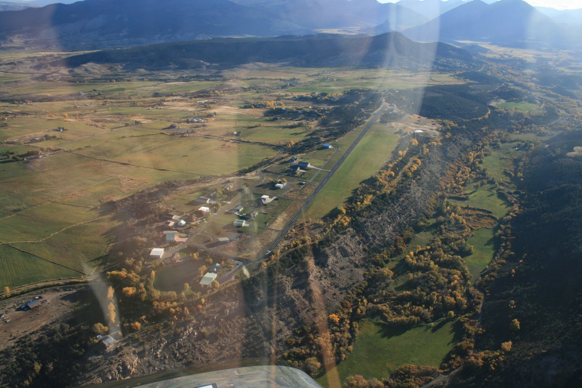
| To get back on track, I headed south and crossed over Crawford Airport (99V) which appears to be an airport community. |
| |
 |
|
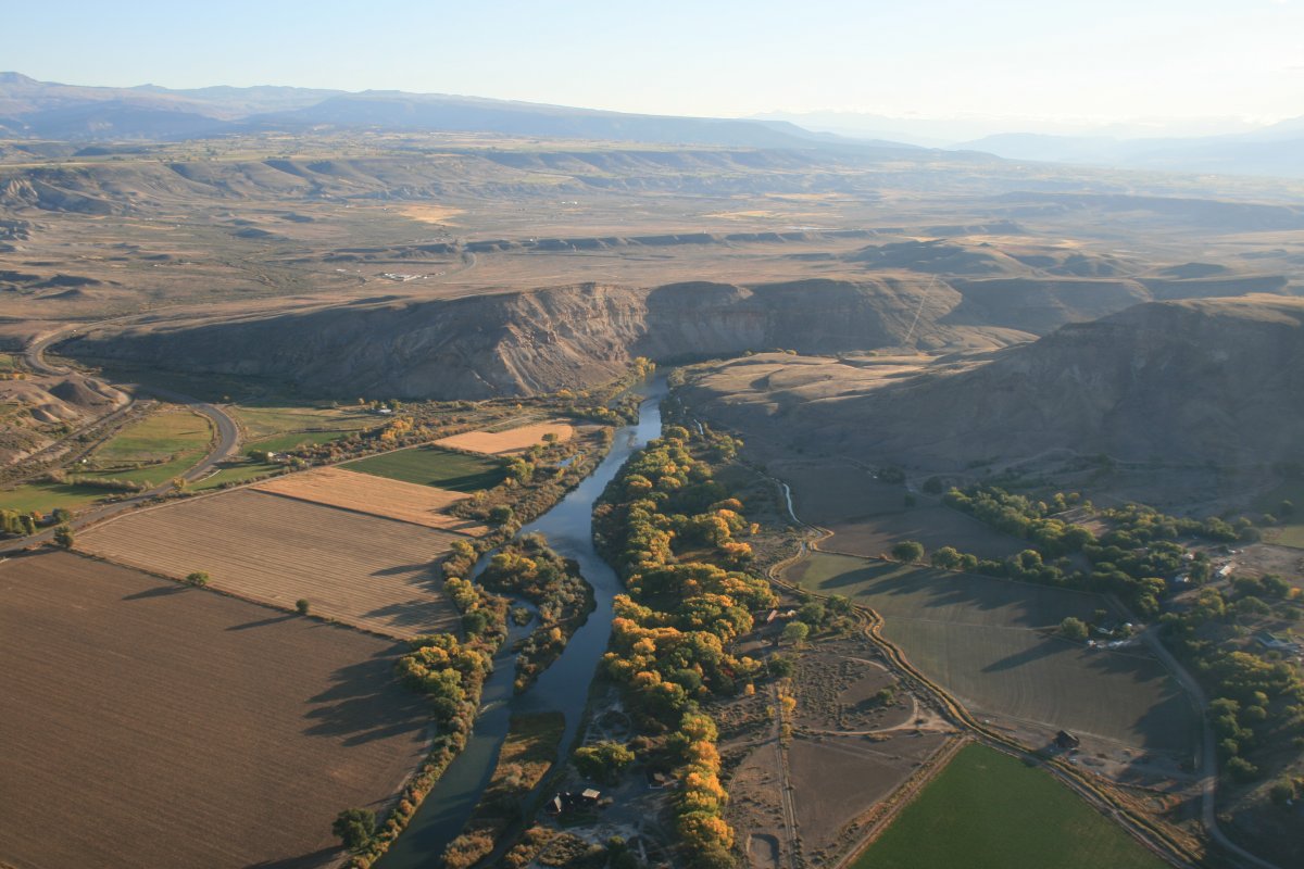
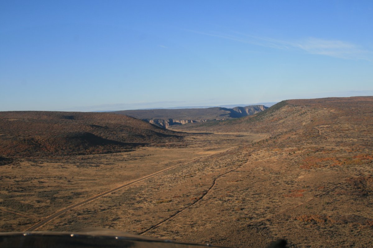
| Heading toward the Gunnison River and Black Canyon. |
| |
 |
|
|
Getting closer. I had no idea what to expect.
|
| |
 |
|
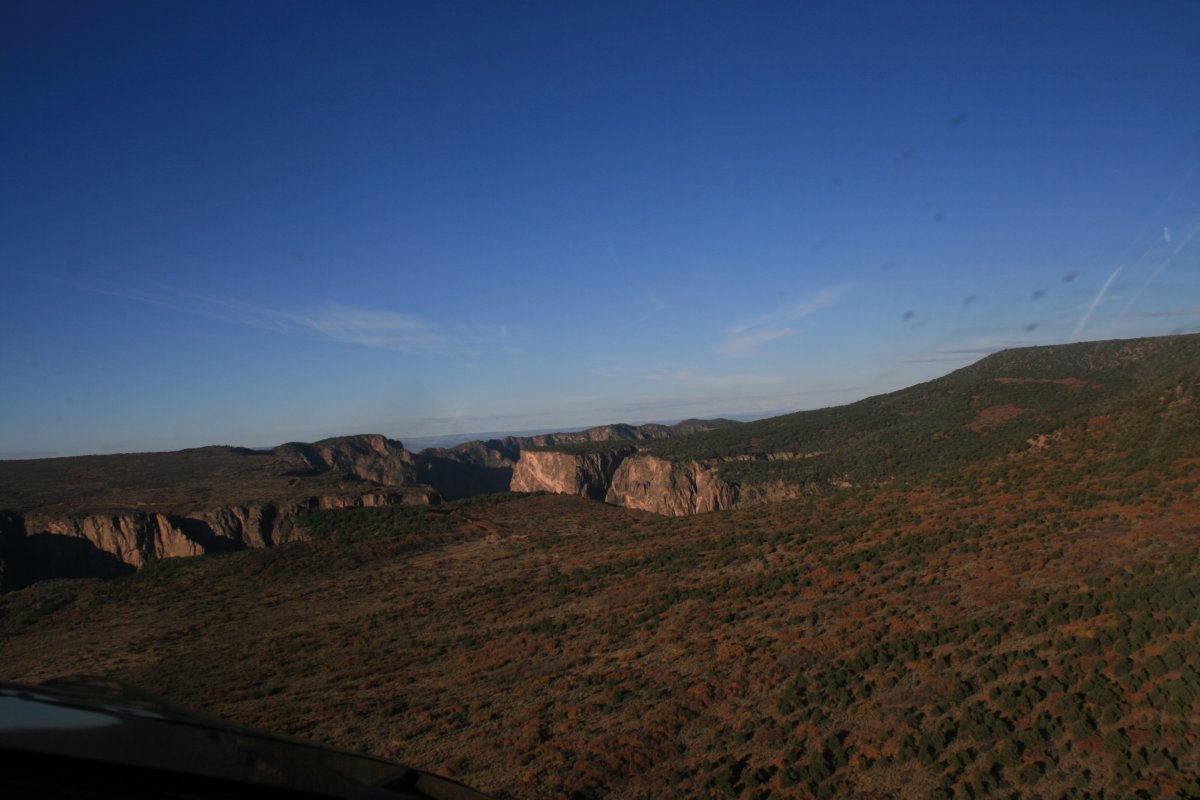
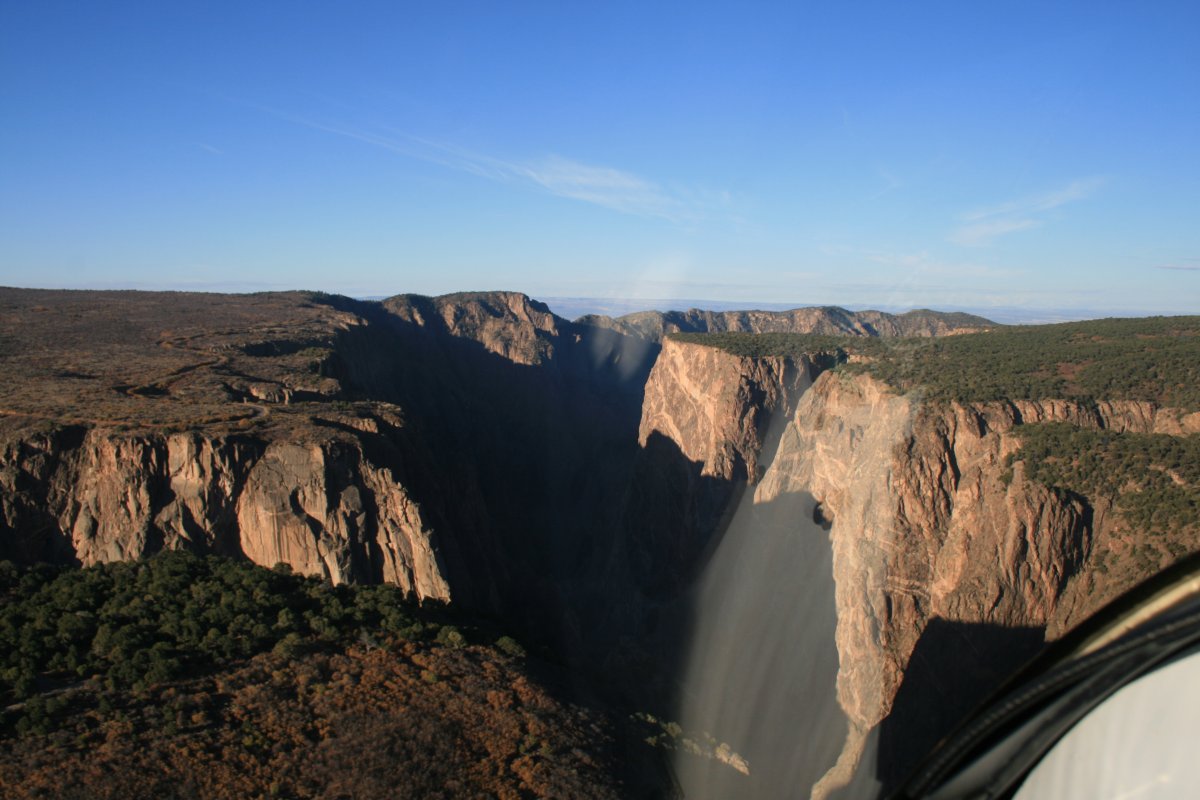
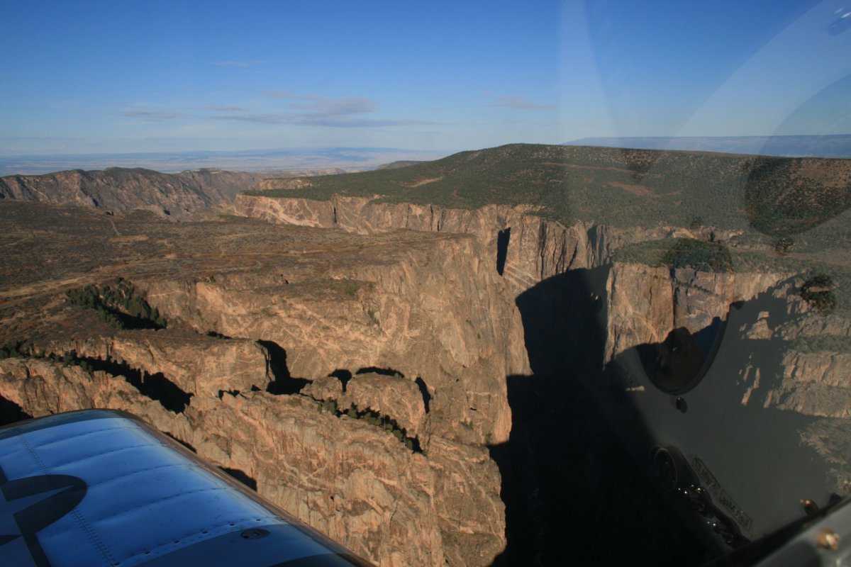
| Wow. Looking southeast. It's not hard to tell why they call it the Black Canyon. |
| |
 |
|
|
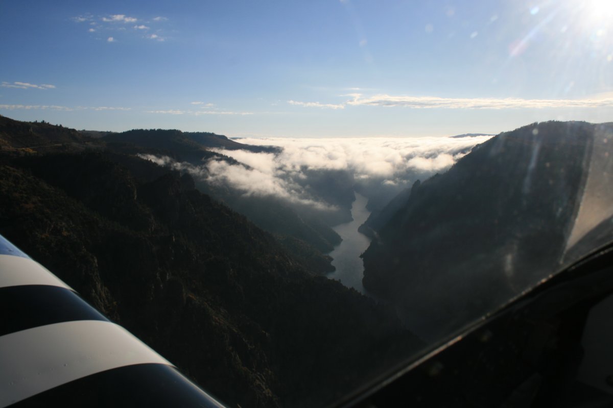
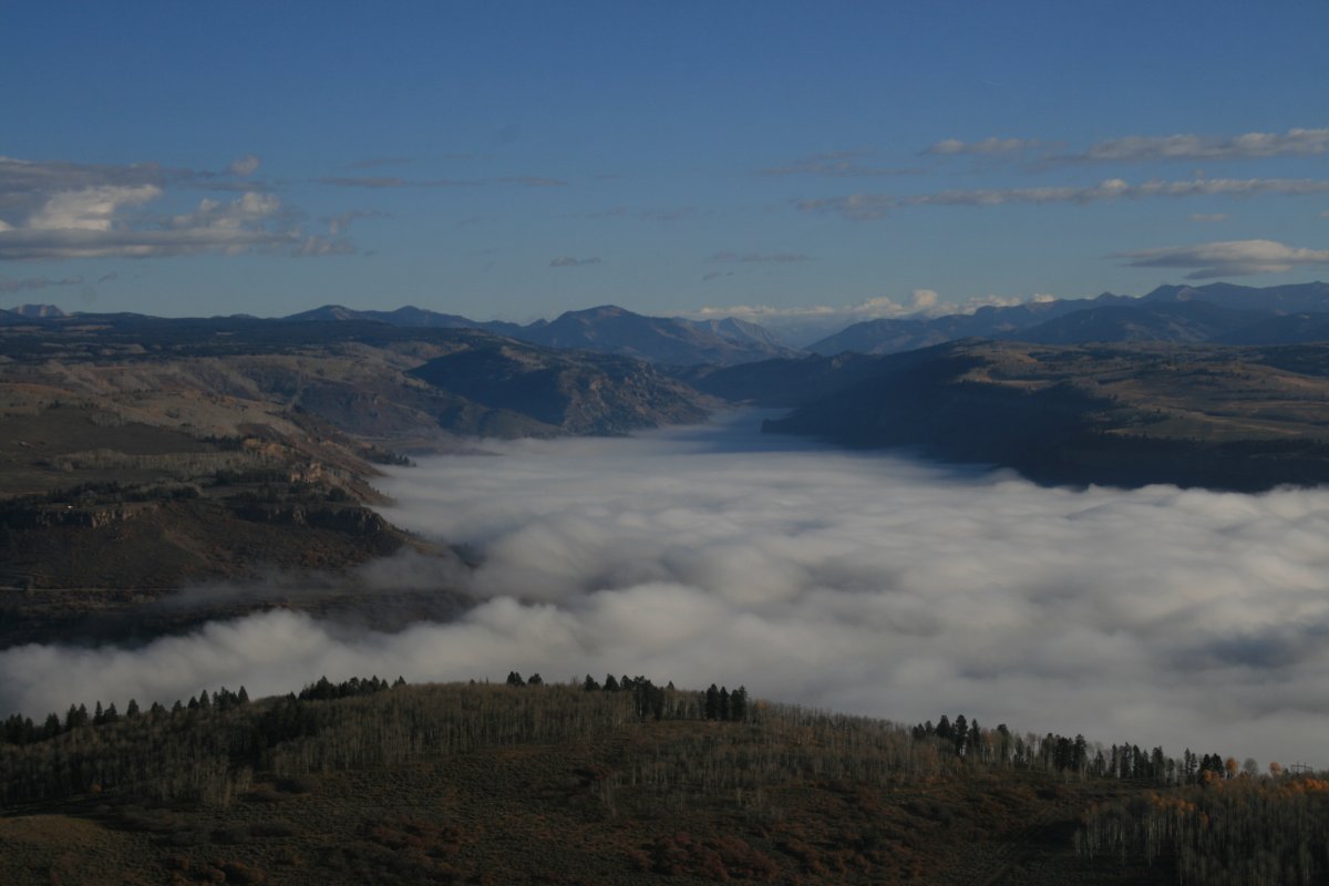
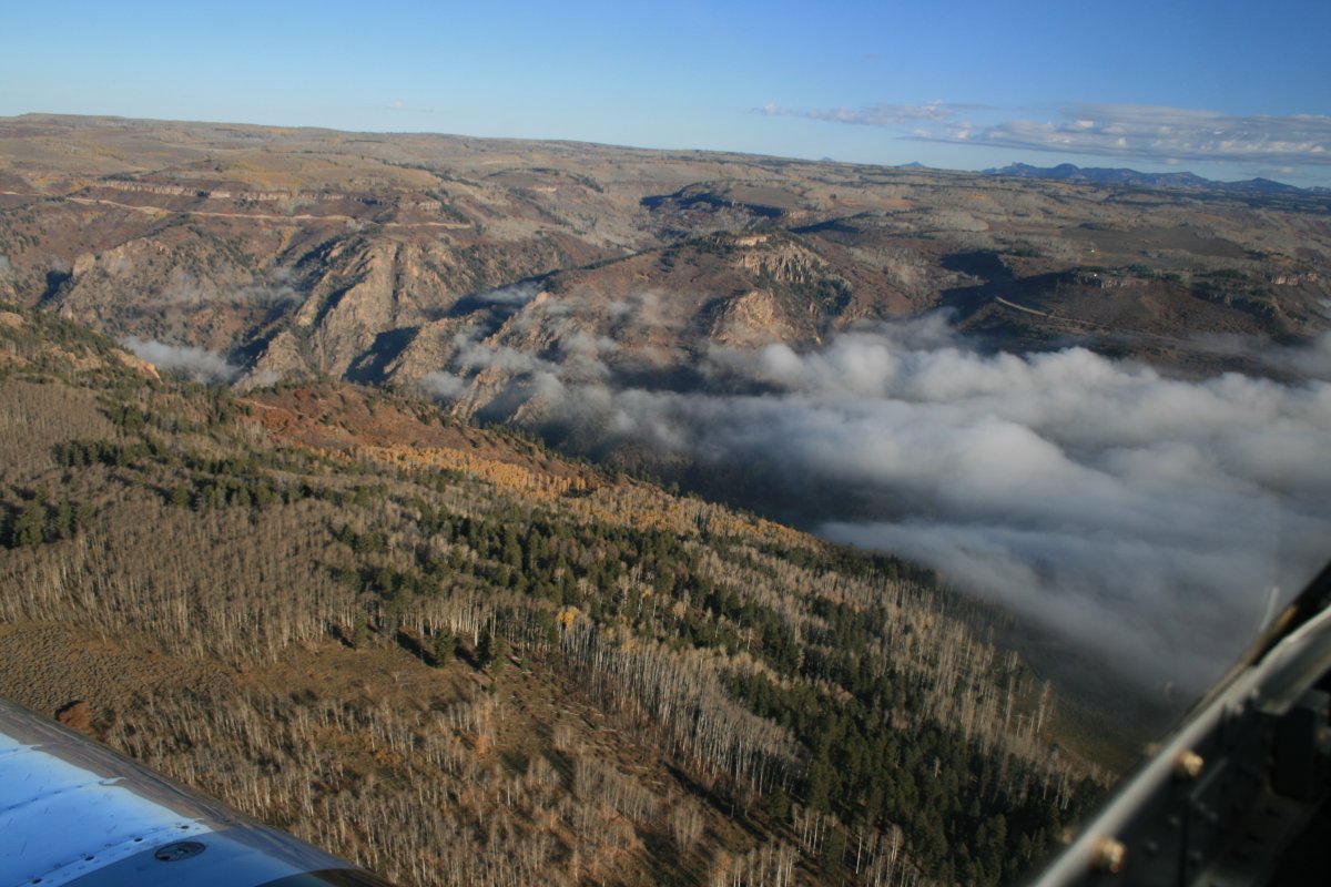
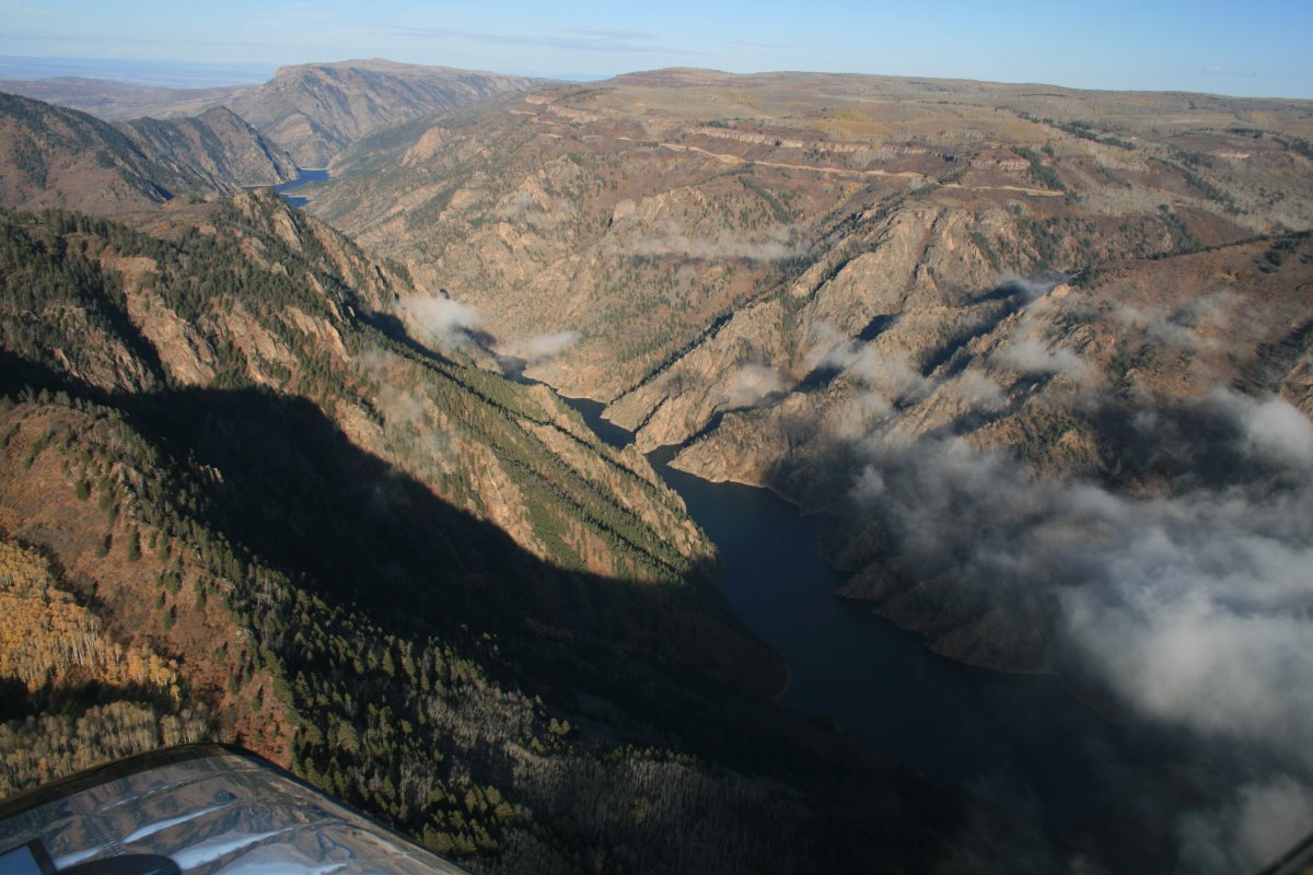
Because I was flying into the sun, I flew the length of the canyon until I reached the Blue Mesa Reservoir and then made a U-turn. I took most of the pictures coming back with the sun behind me. The reservoir was covered by a low cloud layer.
|
| |
 |
|
| I turned right into a valley and then came back in. |
| |
 |
|
| A better look at the Reservoir area. Well, the chart says there is a reservoir under there. I wasn't going to go under it to find out. |
| |
 |
|
| Preparing to fly over the canyon heading northwest. |
| |
 |
|
|
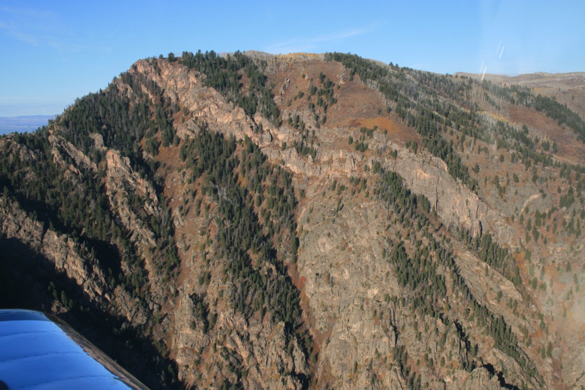
What a difference the sun makes.
|
| |
 |
|
| |
| |
 |
|
|
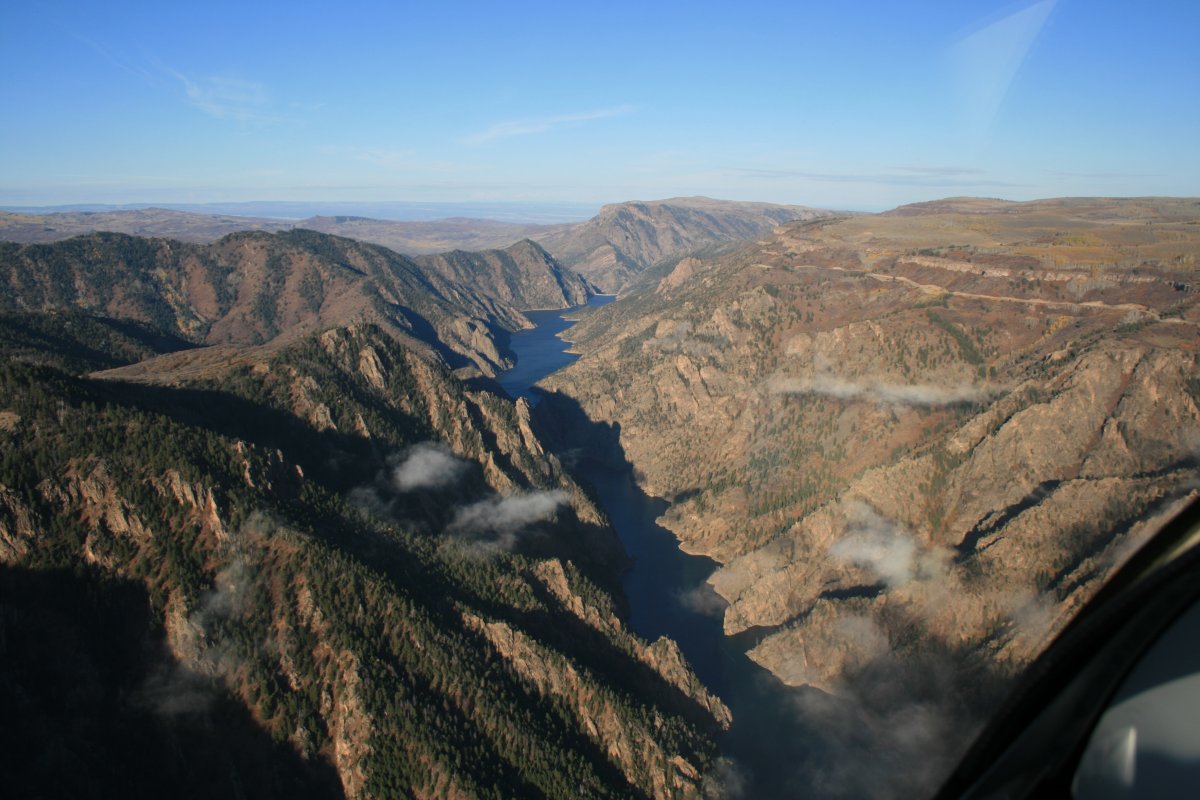
Where there is a reservoir, there is a dam.
|
| |
 |
|
| |
| |
 |
|
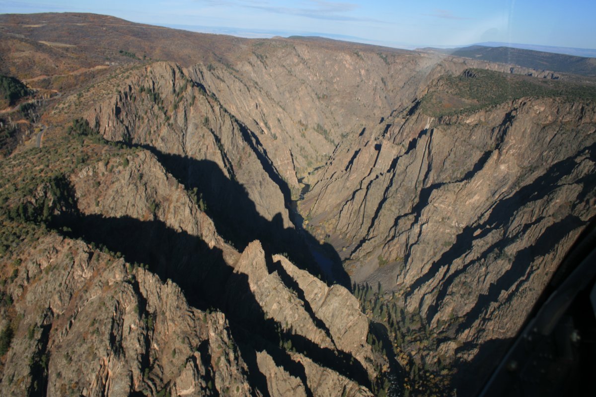
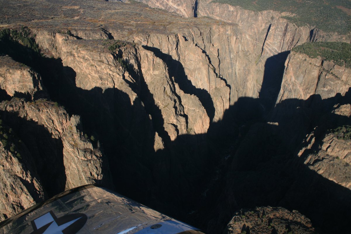
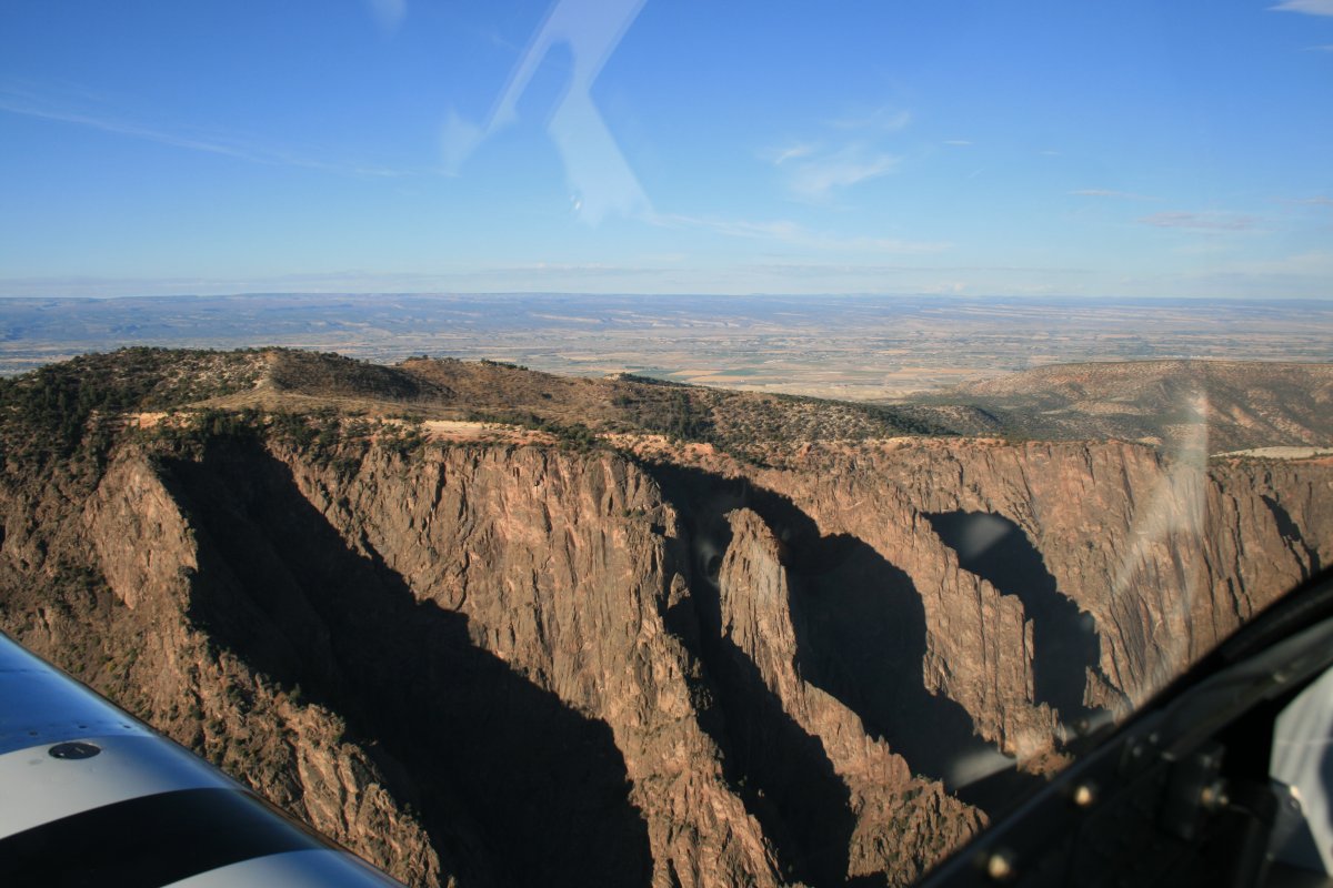
| The shadows really look black. |
| |
 |
|
| |
| |
 |
|
|
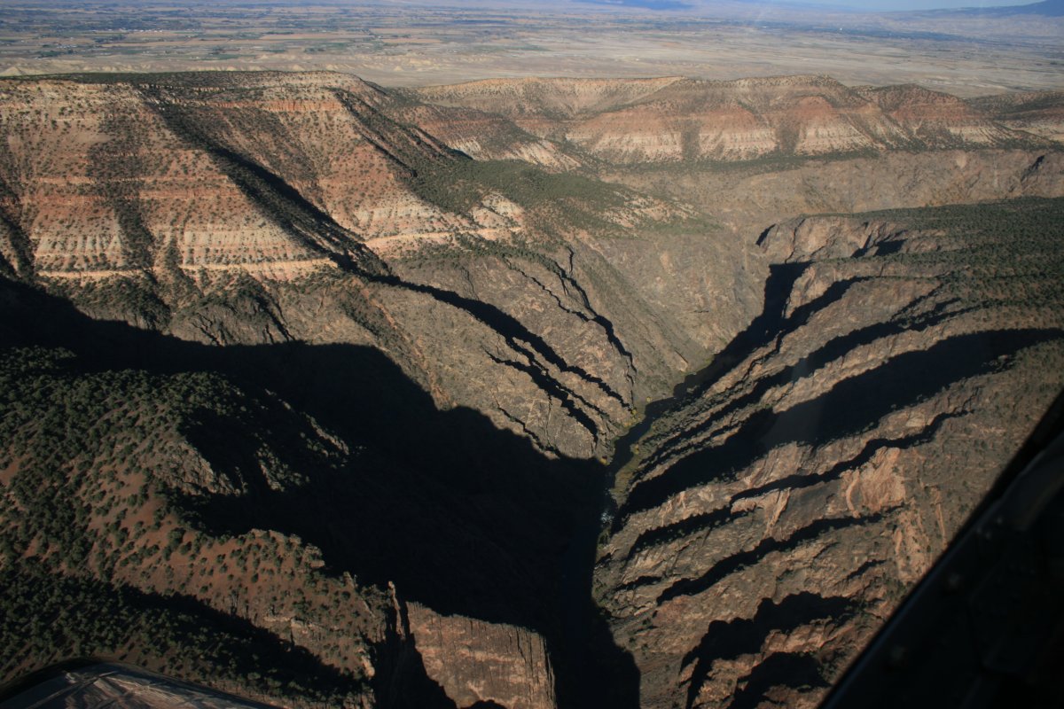
Doesn't look like the river is navigable to me.
|
| |
 |
|
|
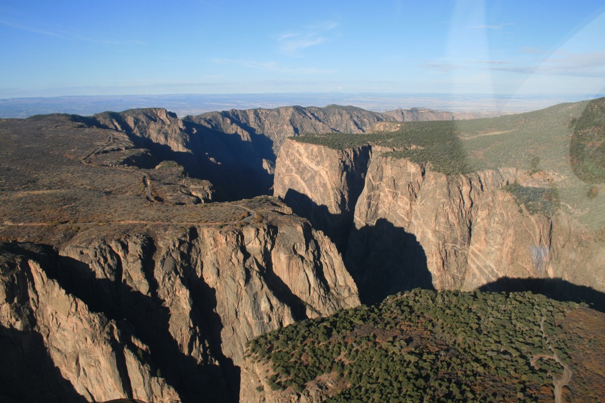
Looking southwest over the rim at the valley beyond.
|
| |
 |
|
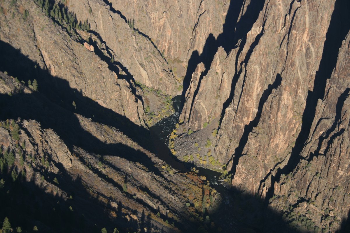
| The canyon is so steep and narrow the light can't get to it. |
| |
 |
|
| I guess that's why the call it the Black Canyon. |
| |
 |
|
| Impressive! |
| |
 |
|
|
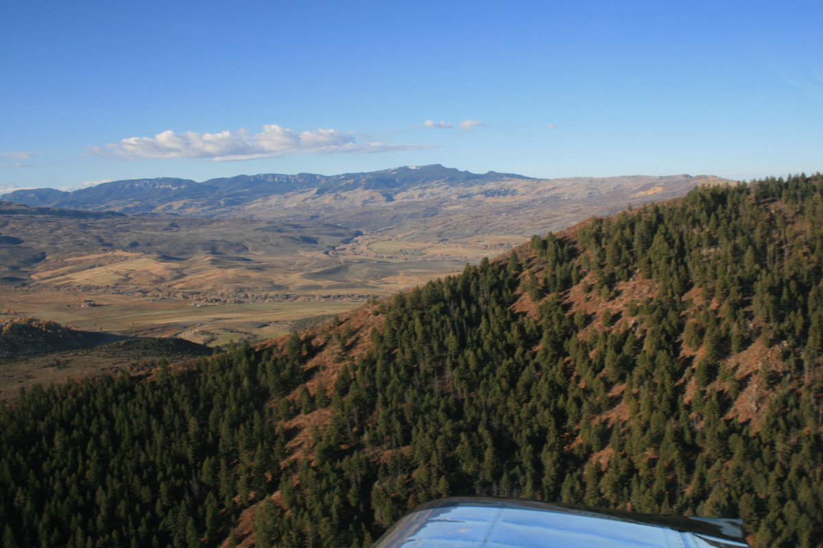
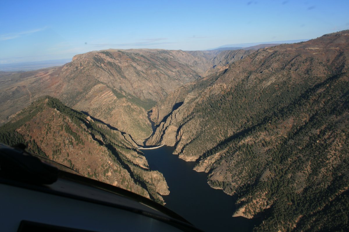
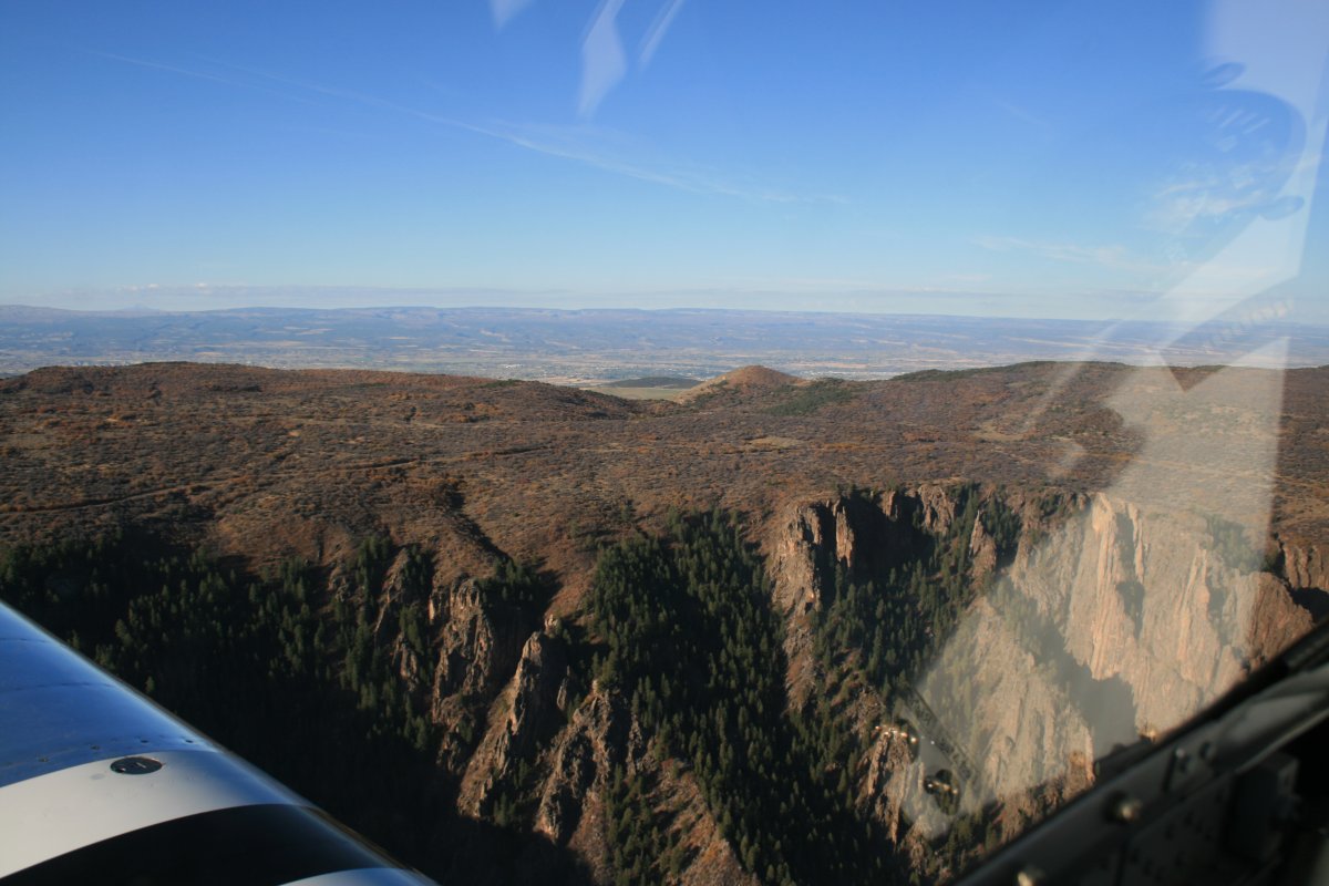
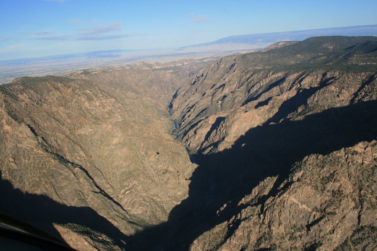
The canyon starts to open up, and the walls get lower, as I head back to Delta.
|
| |
 |
|
| |
| |
 |
|
|
Starting to see some color on the canyon sides.
|
| |
 |
|
| |
| |
|
|
|
|
|
|