Day 1 & 2 - Transit to Colorado Springs
For various reasons, I got a late start and didn't depart Essex Skypark until 1:30 or so. It wasn't a big problem, since I was just tyring to get to Cythiana, Kentucky -- 378 nm from Essex Skypark, just a short hop in the RV! I knew I needed to make it over the Appalachian Mountains this afternoon because of Hurricane Matthew was coming north and the east coast would be socked in tomorrow. The aviation forecast indicated I should be able to make over the mountains without much trouble.
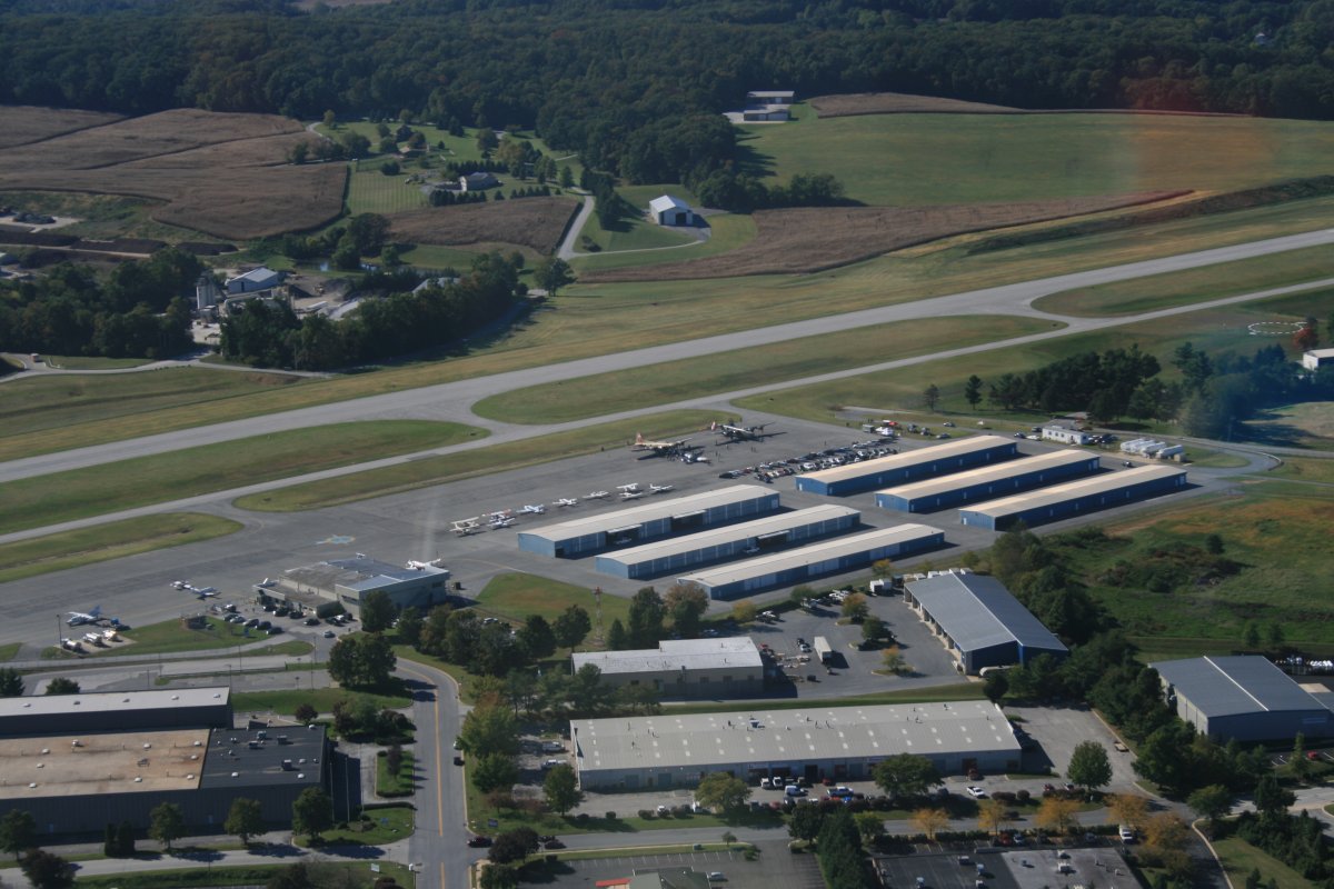
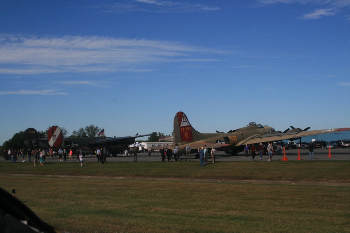
The fuel tank at Essex was empty so I had to stop at Carroll County Airport to get gas. Imagine my surprise to see a B-17 and B-24 on the ramp as I turned downwind.
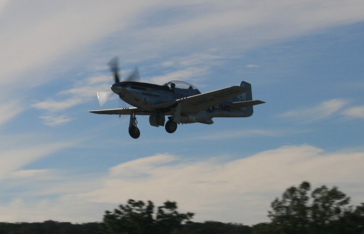
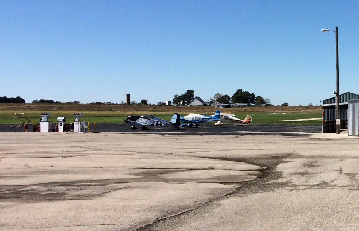
There was also a B-25 and the two-seater P-51 Mustang pictured here taking off as I taxi by.
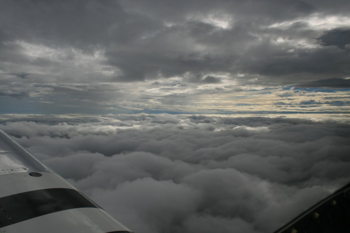
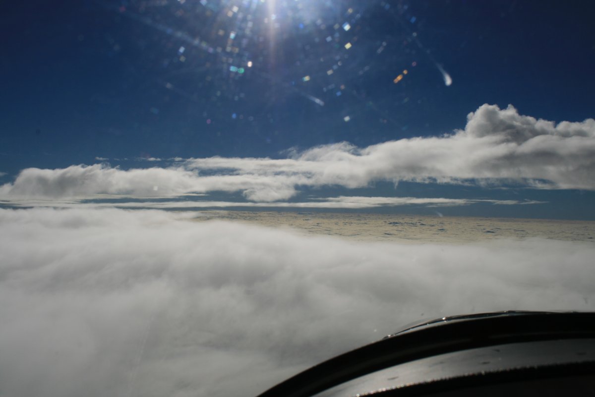
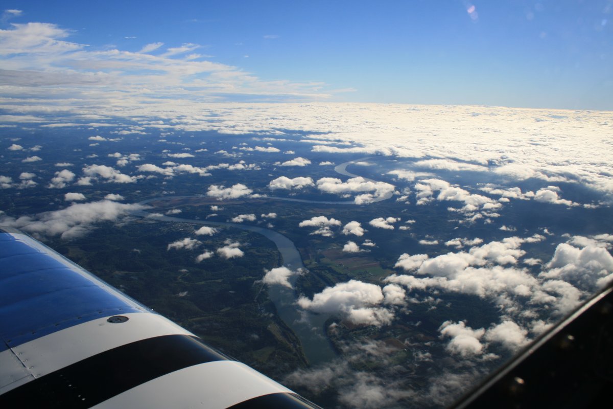
I encountered a layer once in the mountains. I knew it was clear on the other side so I was OK with going on top. Unfortunately, I soon encountered more clouds and more layers. I had to work hard to stay VFR. At one point I was up to 13,500 feet! (Yes, I had oxygen and used it).
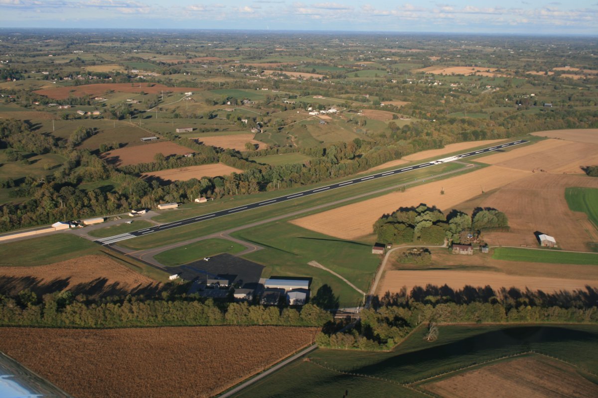
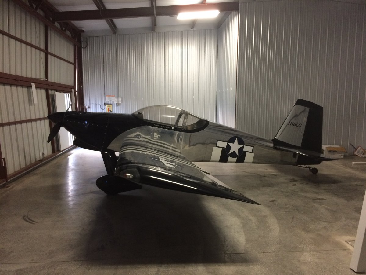
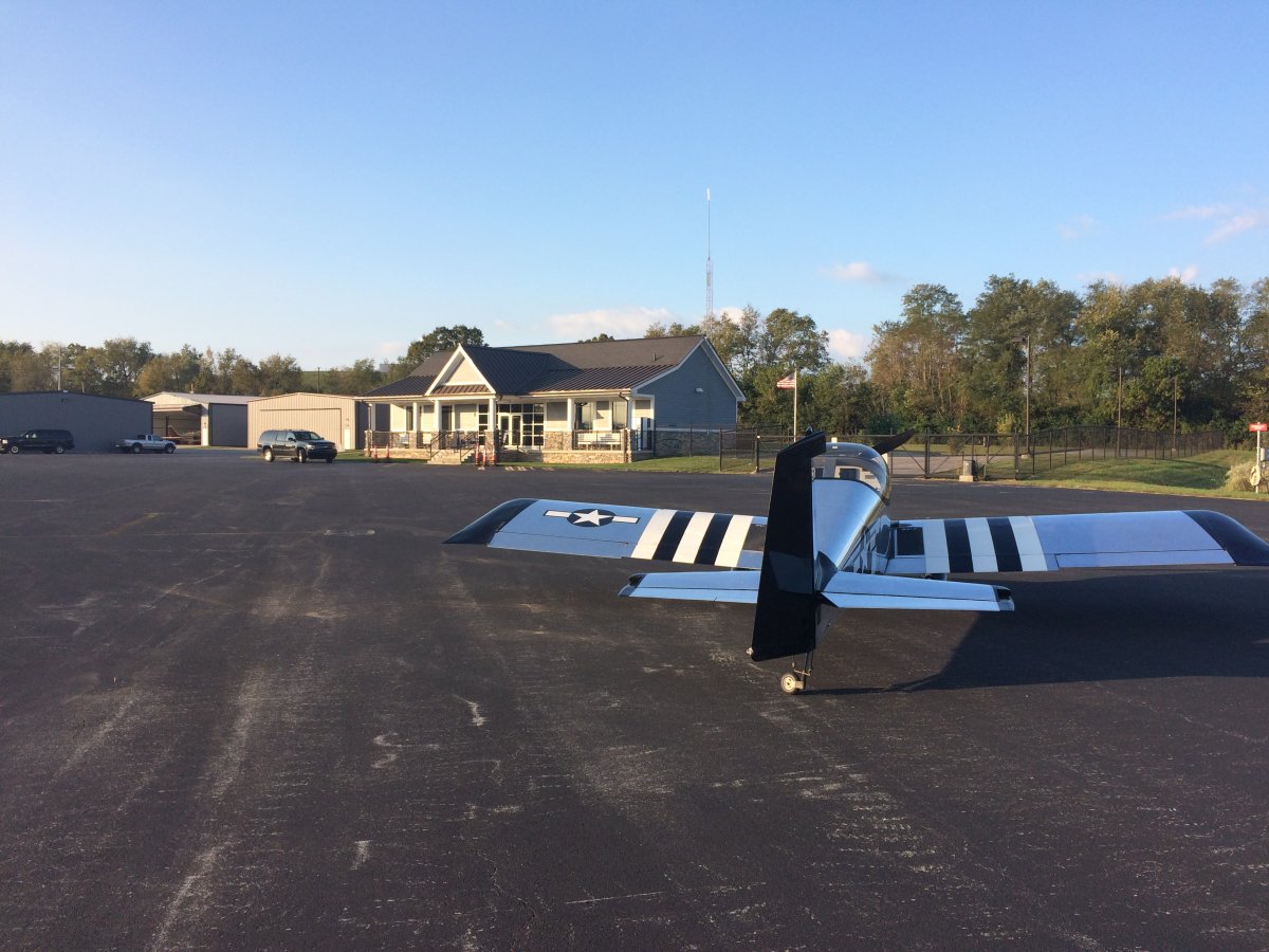
A couple of airport regulars offered me the free use of the EAA hangar. Sweet! I used the courtesy car -- an Excursion: the largest of the Ford SUVs -- to go into town to have dinner and stay in a motel.
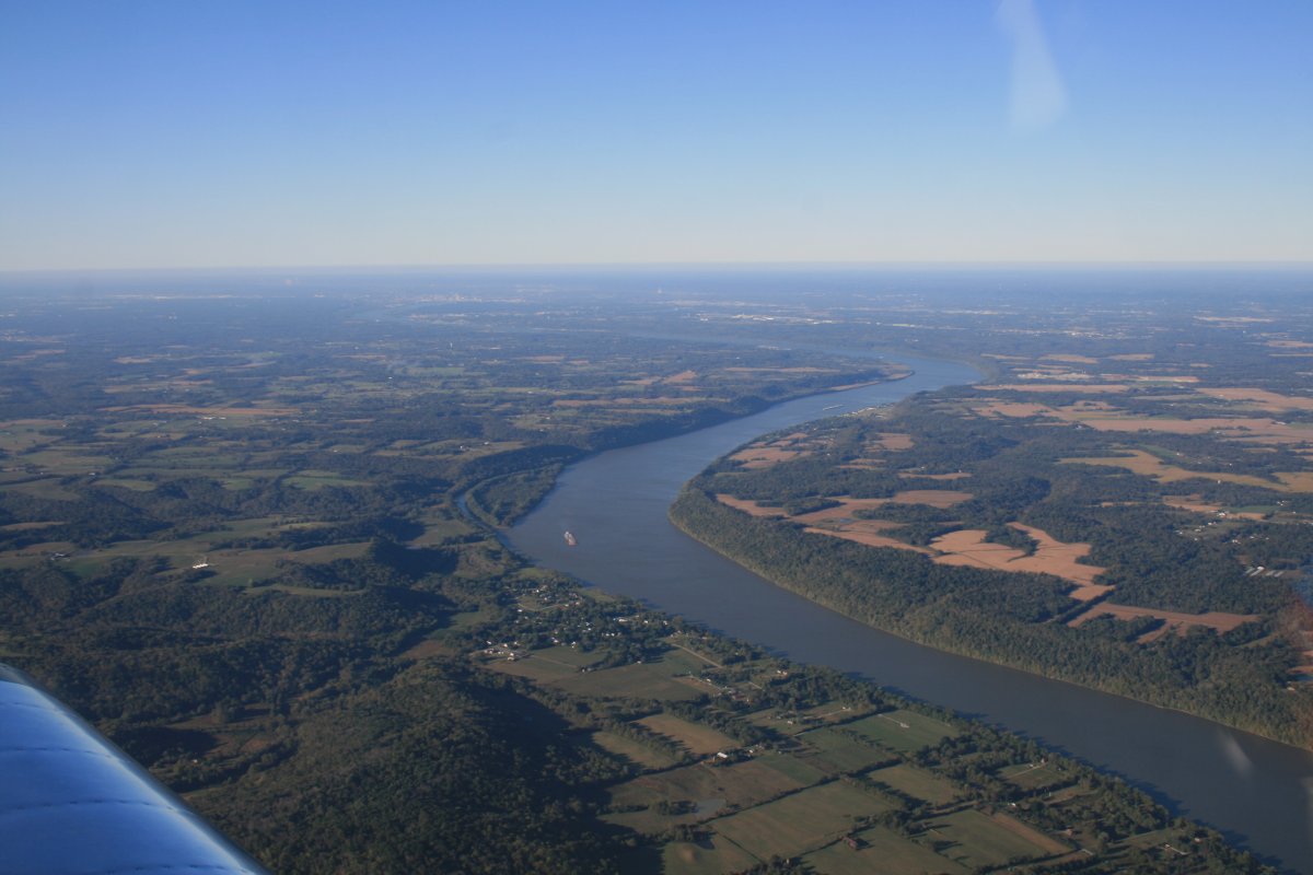
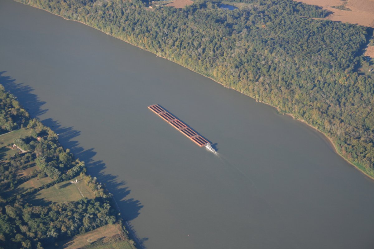
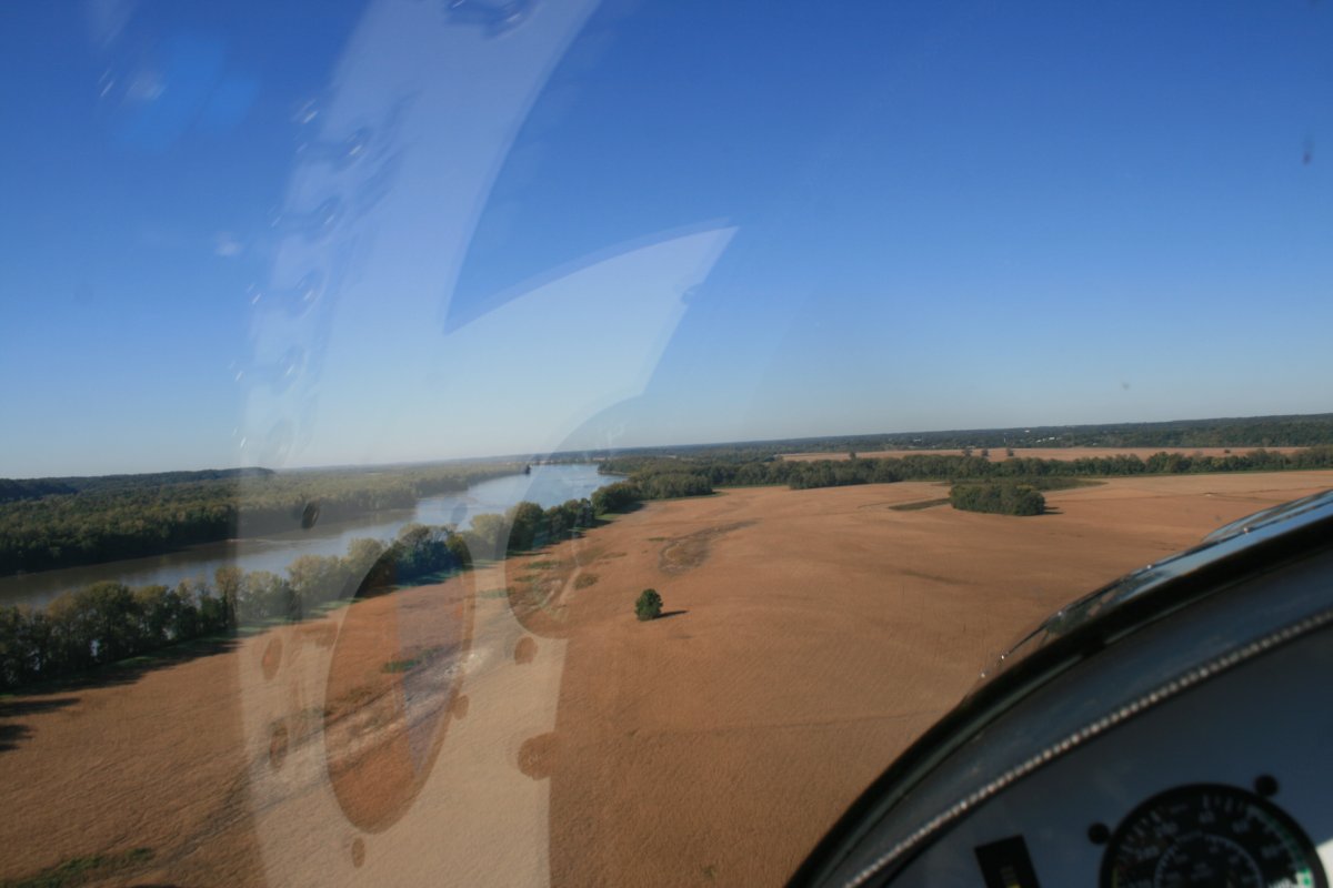
I got up early the next morning and headed west. I had a long way to go today: Colorado Springs, Colorado. 956 nm. Here I'm crossing the mighty Ohio river. Weather was excellent, as you can see. But there was virtually no way I could have made it from Maryland today. In fact, you could see the weather system to the east from Cynthiana. I was right on the edge.
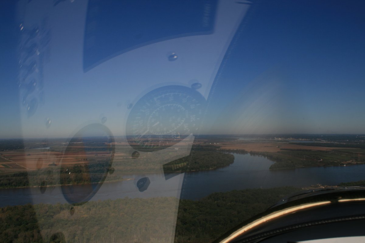
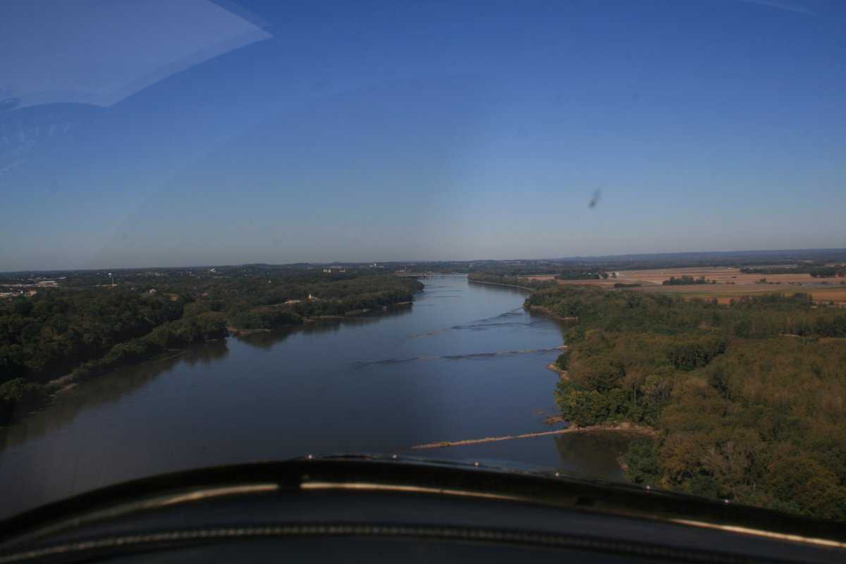
I went low down the Missouri River for old times sake. I think this is the fourth time I've flown the St. Louis - Kansas City section of the river.
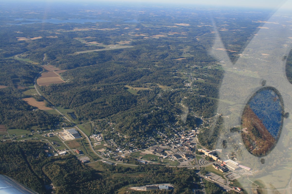
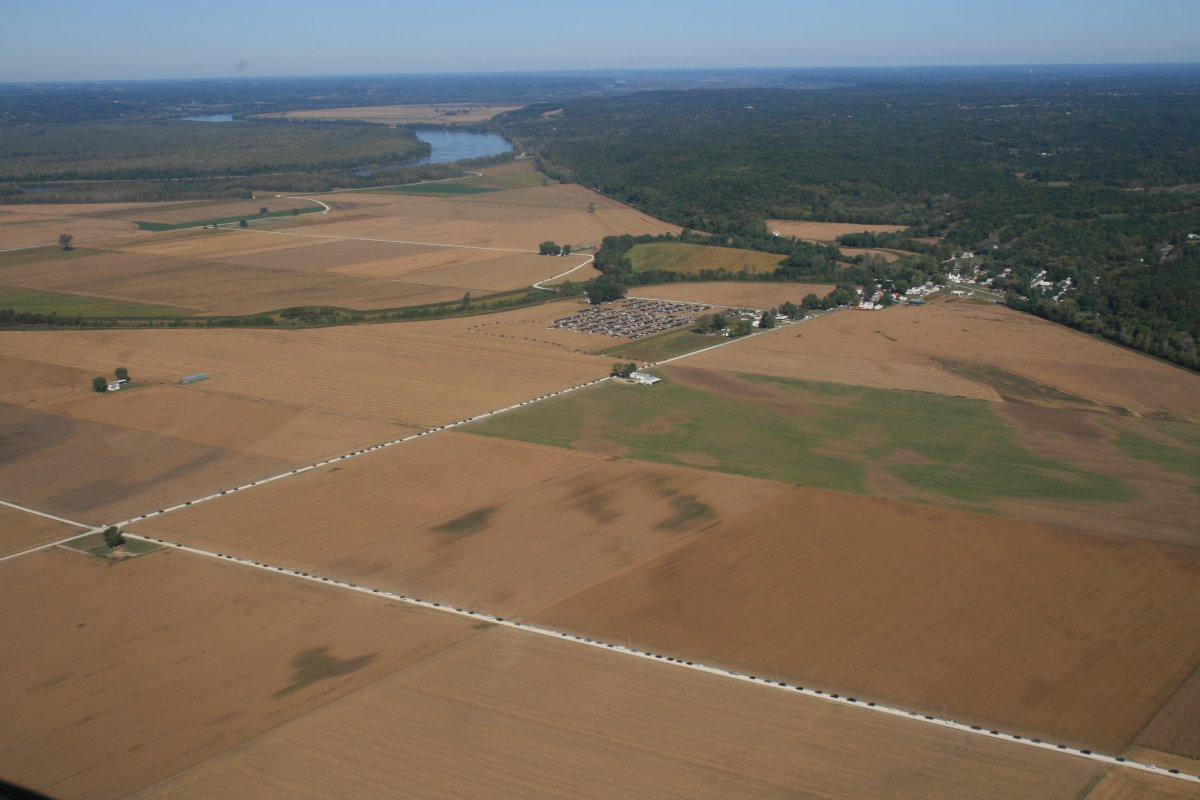
I noticed all these cars lined up on a country road. They were all parked in the field in the center of the picture. It looked like there was a fair of some sort in the town amongst the trees. Must be a good one! Americana.
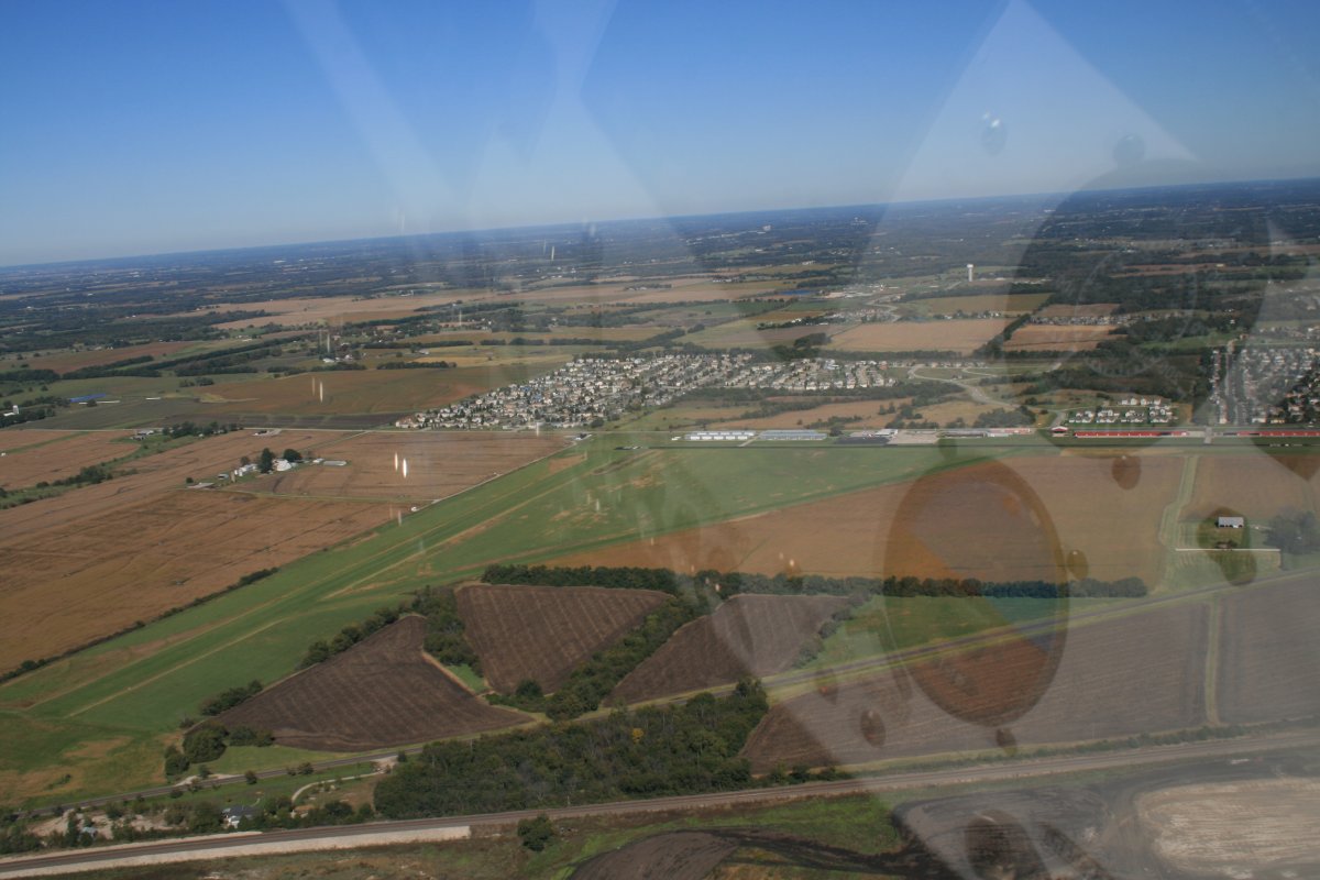
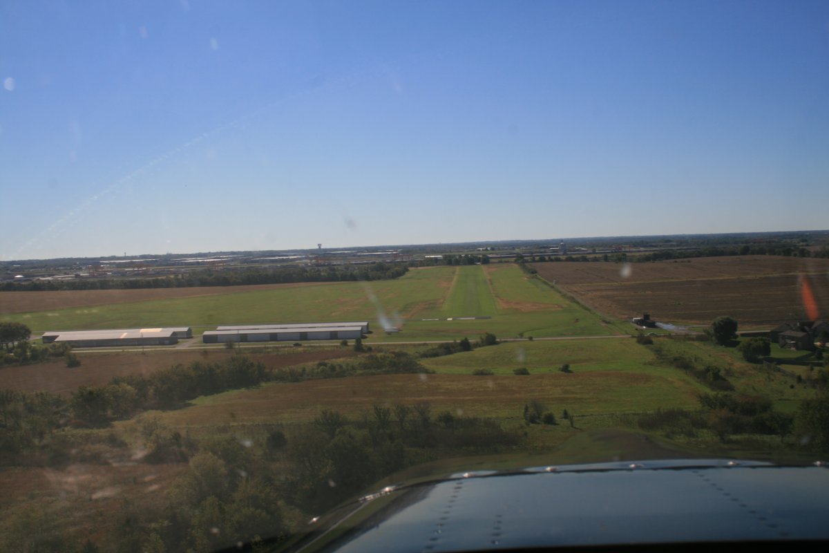
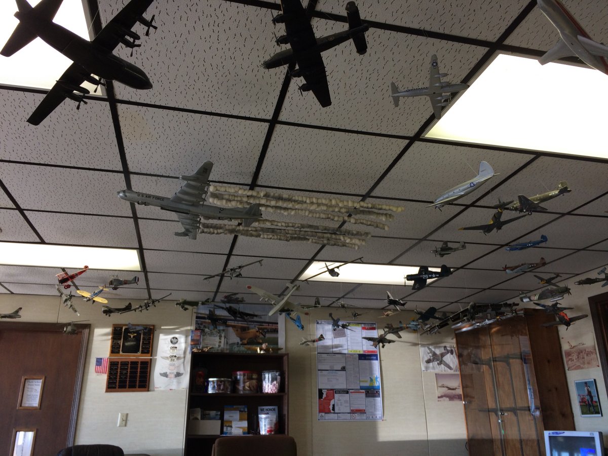
One of the airport regulars drove me to a nearby McDonalds for lunch. How nice is that?
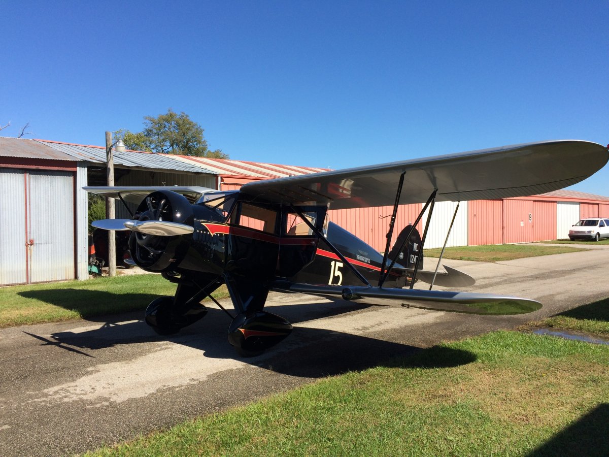
This big Waco was based at Gardner.
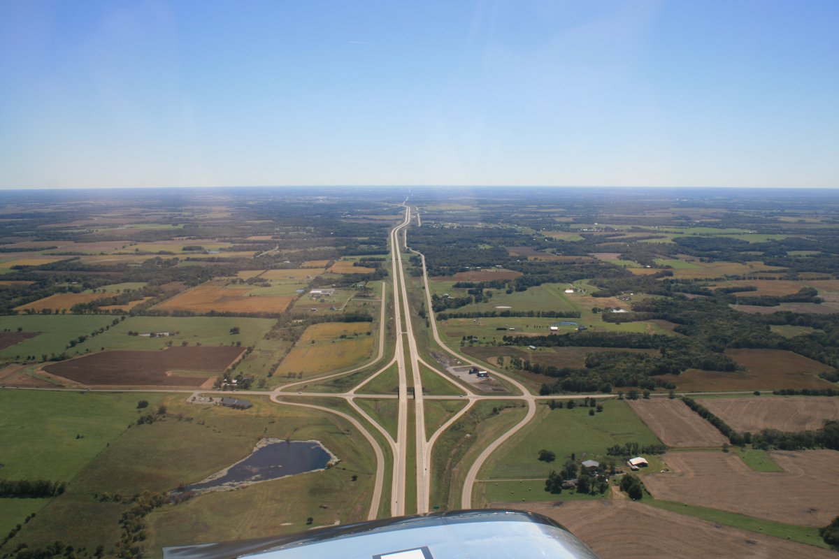
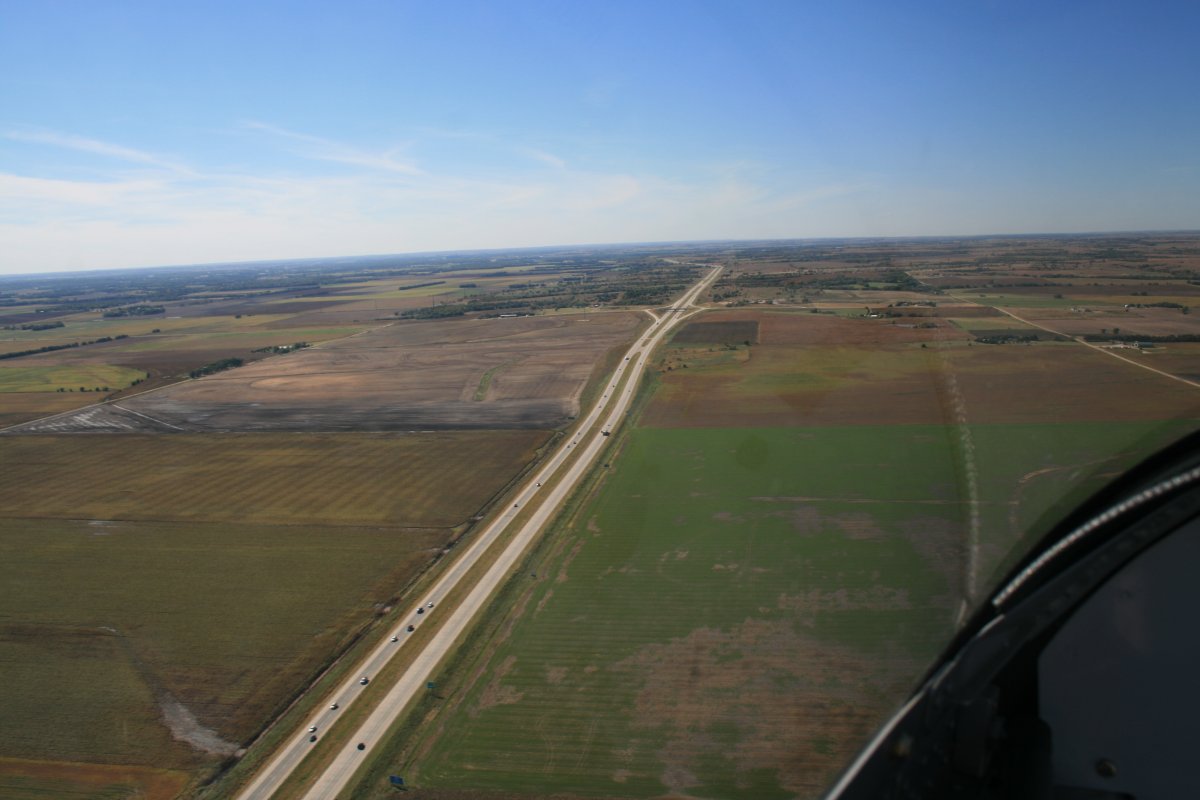
I believe this is Interstate 77 heading south.
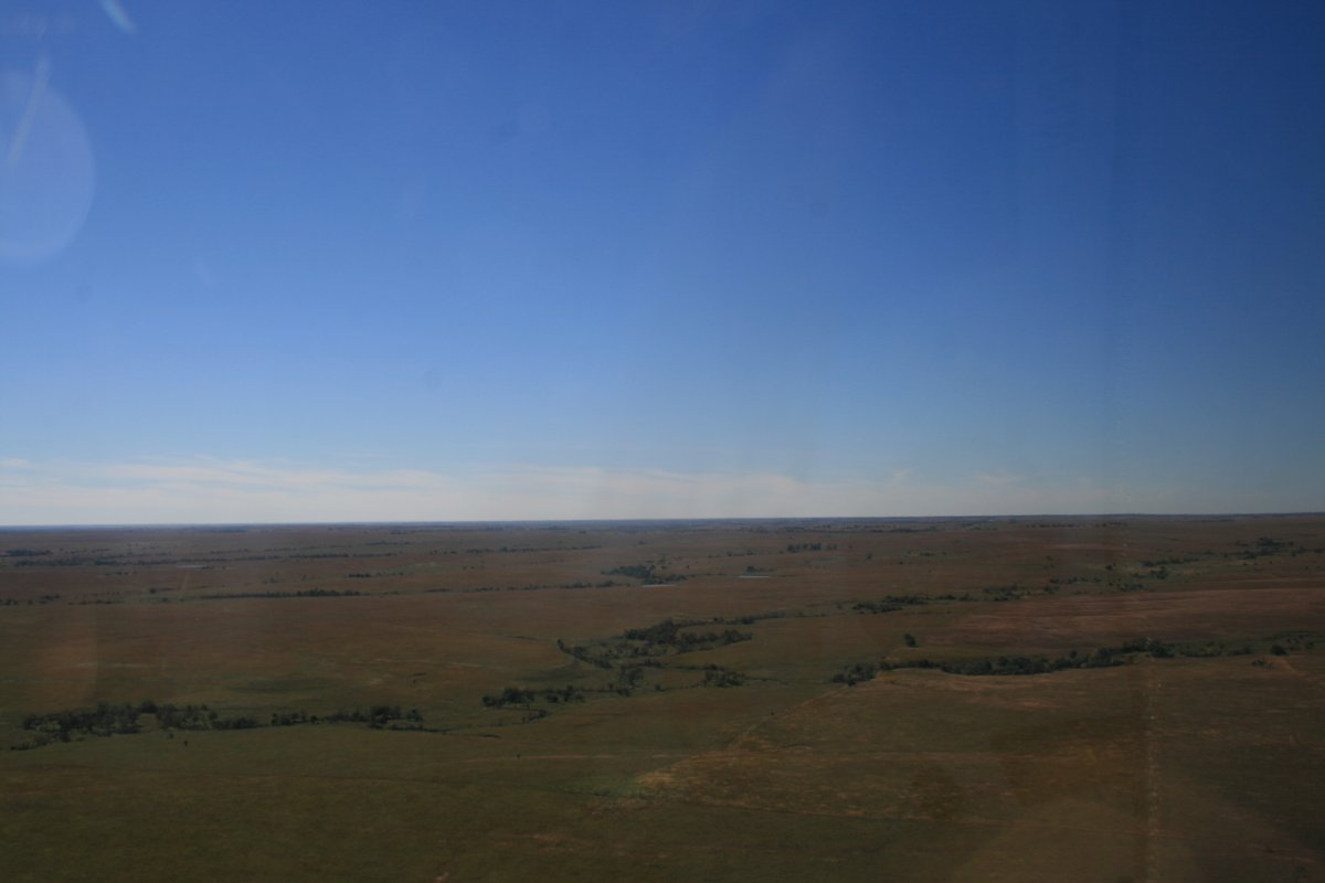
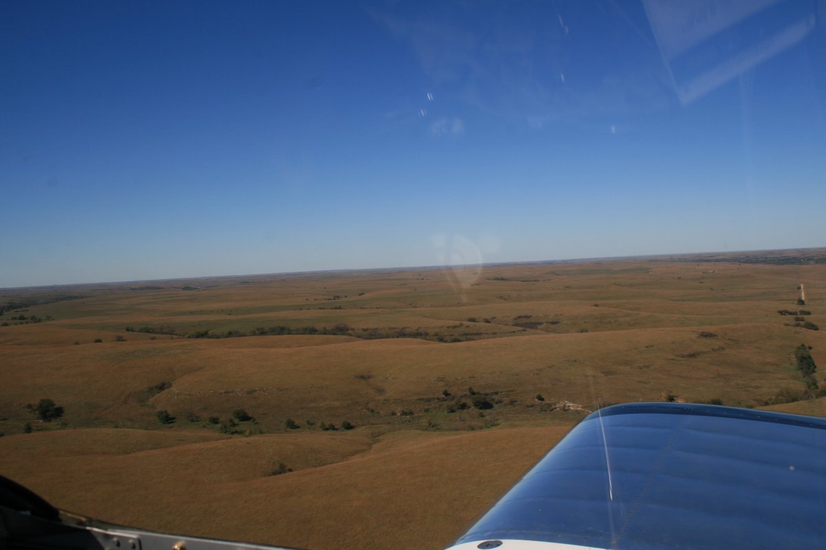
Good cattle country.
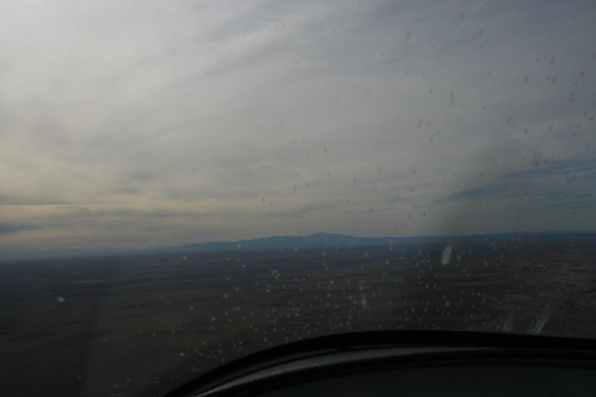
I landed without incident at Colorado Springs airport, which has Class C airspace, and can handle some good-sized airplanes. Like that Boeing 747 in the center of the picture.
I prefer to go into the smaller general aviation (GA) airports with no Class C or Class D airspace. But this one was by far the closest to my friends house where I would be staying so I bit the bullet. I have no problem dealing with air traffic control; I just don't like doing it.
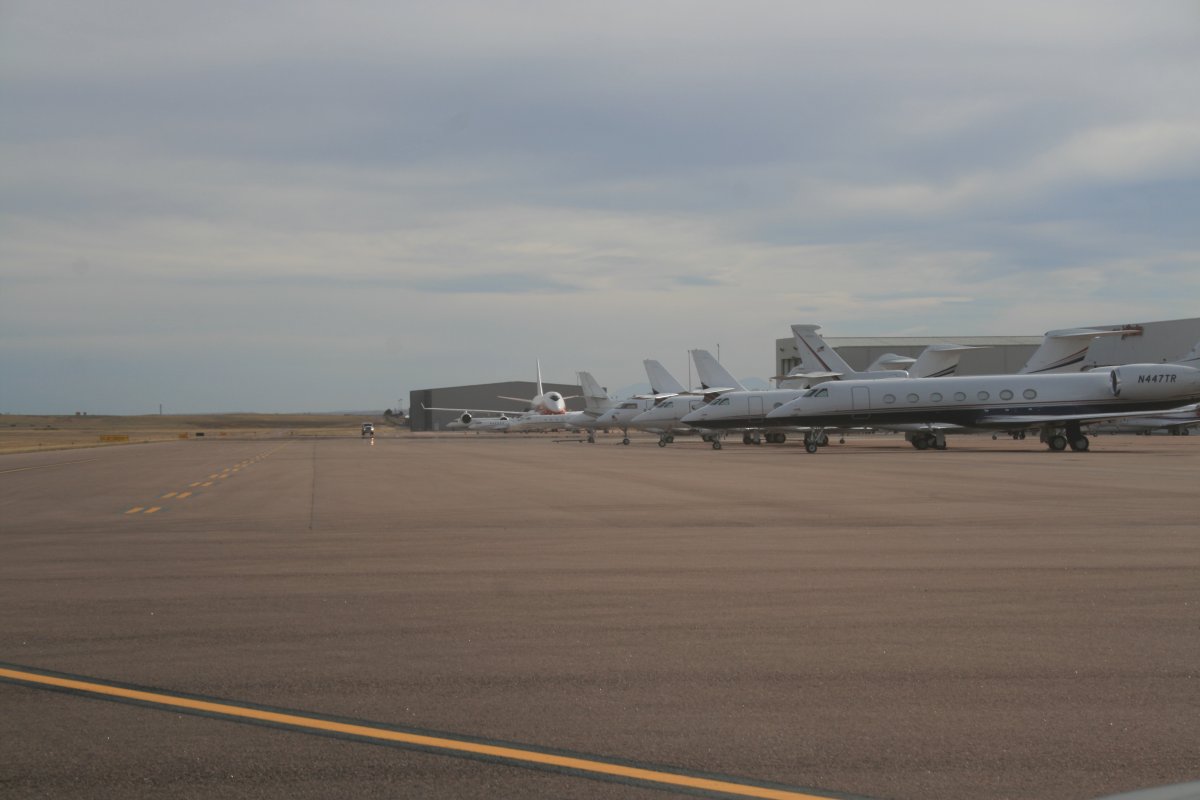
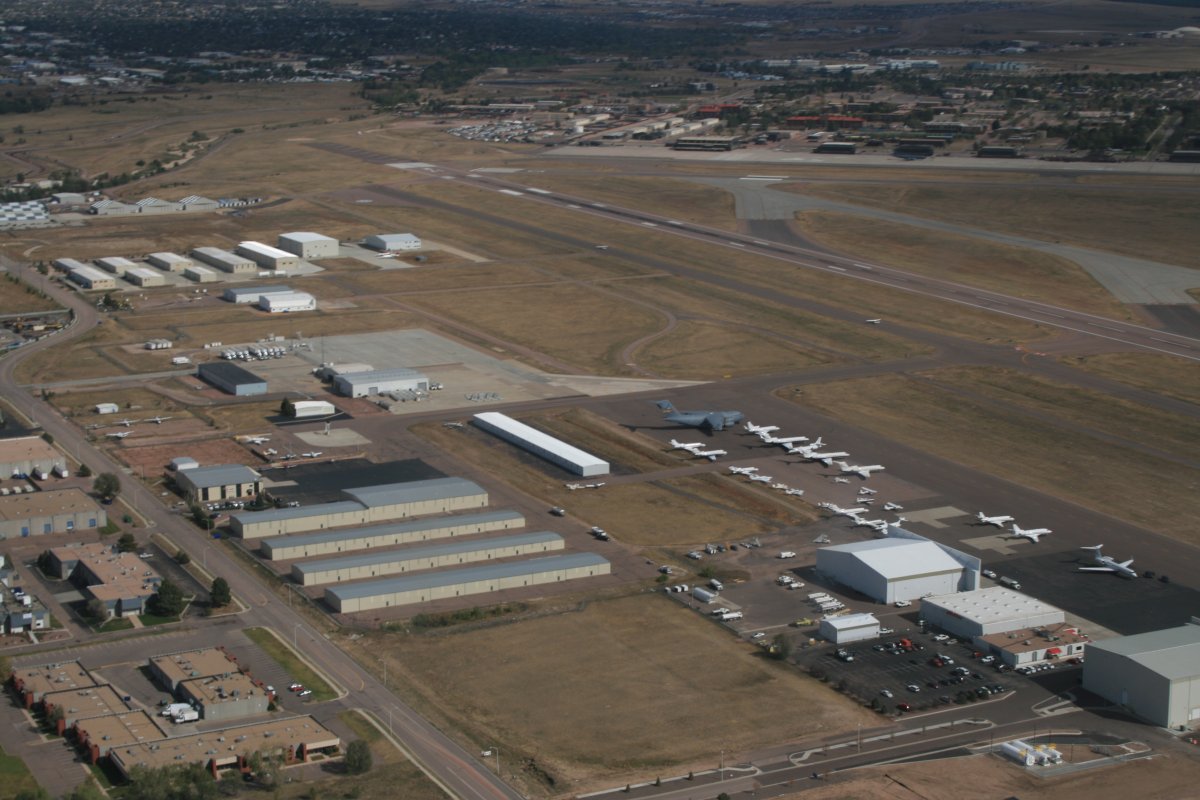
The Commercial terminal is out of sight to the right. Cutter Aviation, the FBO where I parked, is center left. Colorado Springs Airport is also home to Peterson Air Force Base. A big C-17 transport is visible below.
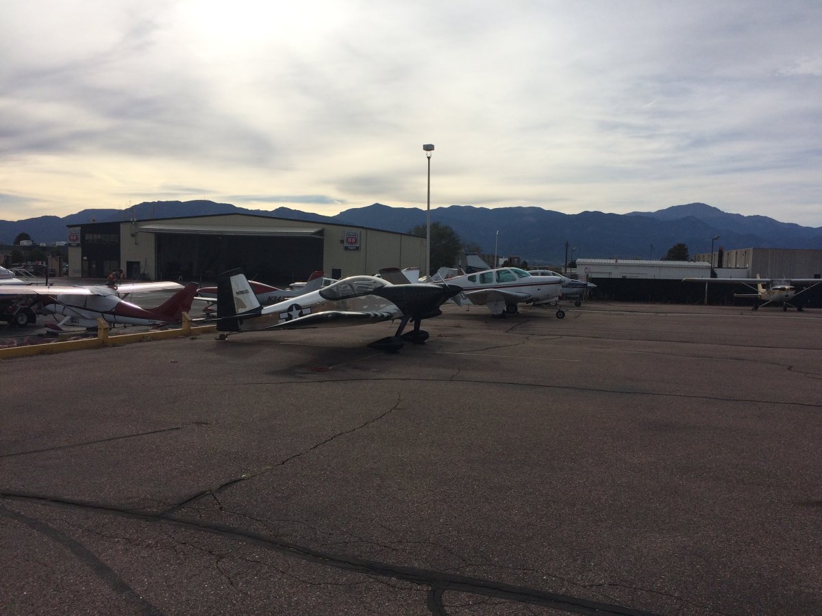
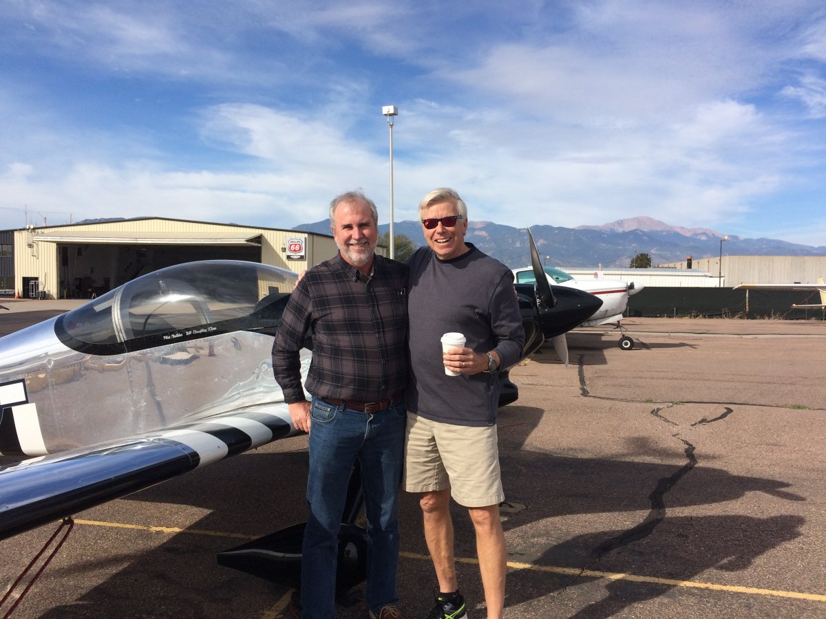
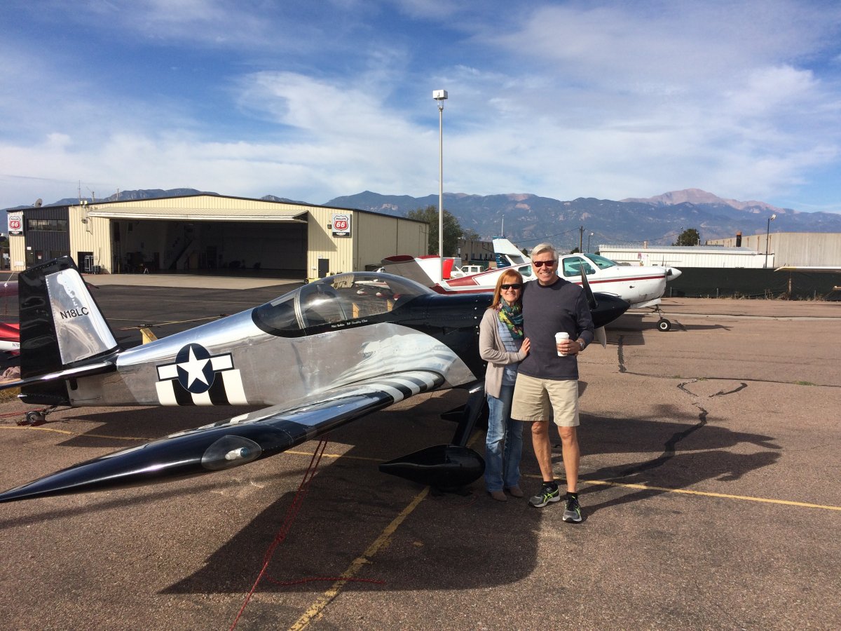
I stopped in Colorado Springs to visit my old shipmate Pat Mills. Pat and I were department heads together in Patrol Squadron Forty-Five back in the early 90s.
