Day 13 Part 1 - Fredericksburg to Port Isabel, TX
|
| The next morning, I taxiied by this great mancave. Nice big hangar for all the toys, plus a residence. Sweet! |
| |
 |
|
|
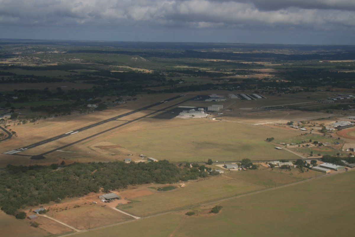
Just after takeoff from Gillespie Airport.
|
| |
 |
|
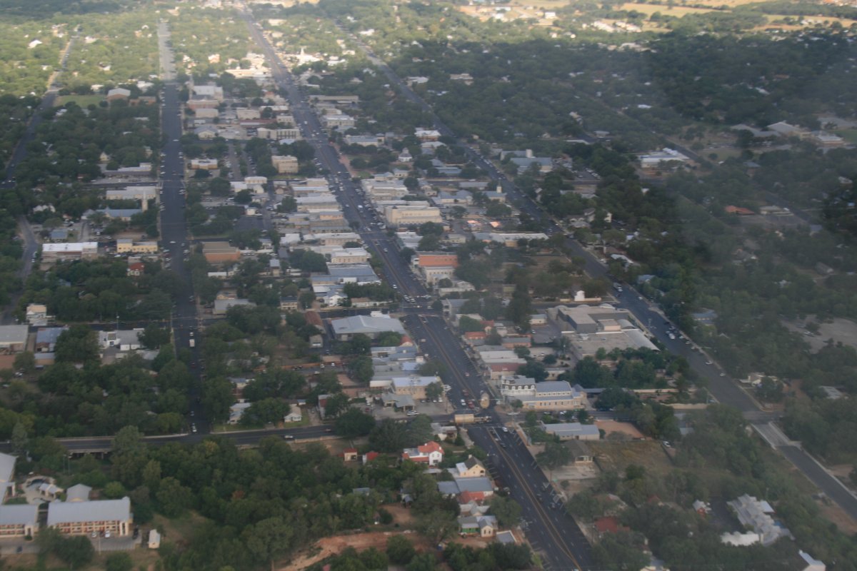
| A good look at Main Street, Fredericksburg. The Nimitz hotel that looks like a ship is visible at lower right. |
| |
 |
|
|
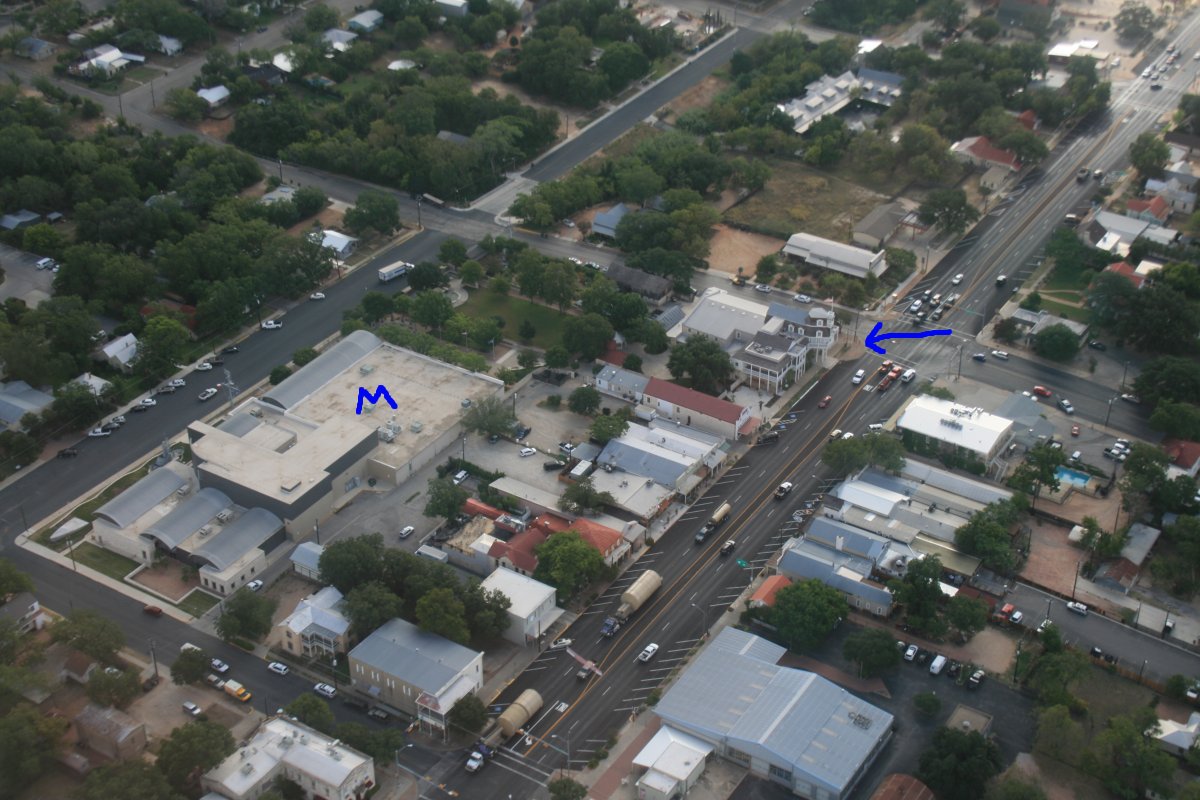
A better look at the Museum and Nimitz Hotel.
|
| |
 |
|
| You know I had to fly and check out Enchanged Rock from the air. Not hard to find. |
| |
 |
|
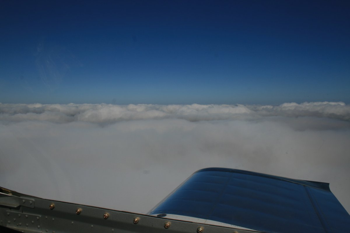
| Then I headed southwest back to the border just below Del Rio and Laughlin Air Force Base. There was a broken layer so for a change, I flew above the clouds for awhile. |
| |
 |
|
| It started breaking up soon after. |
| |
 |
|
|
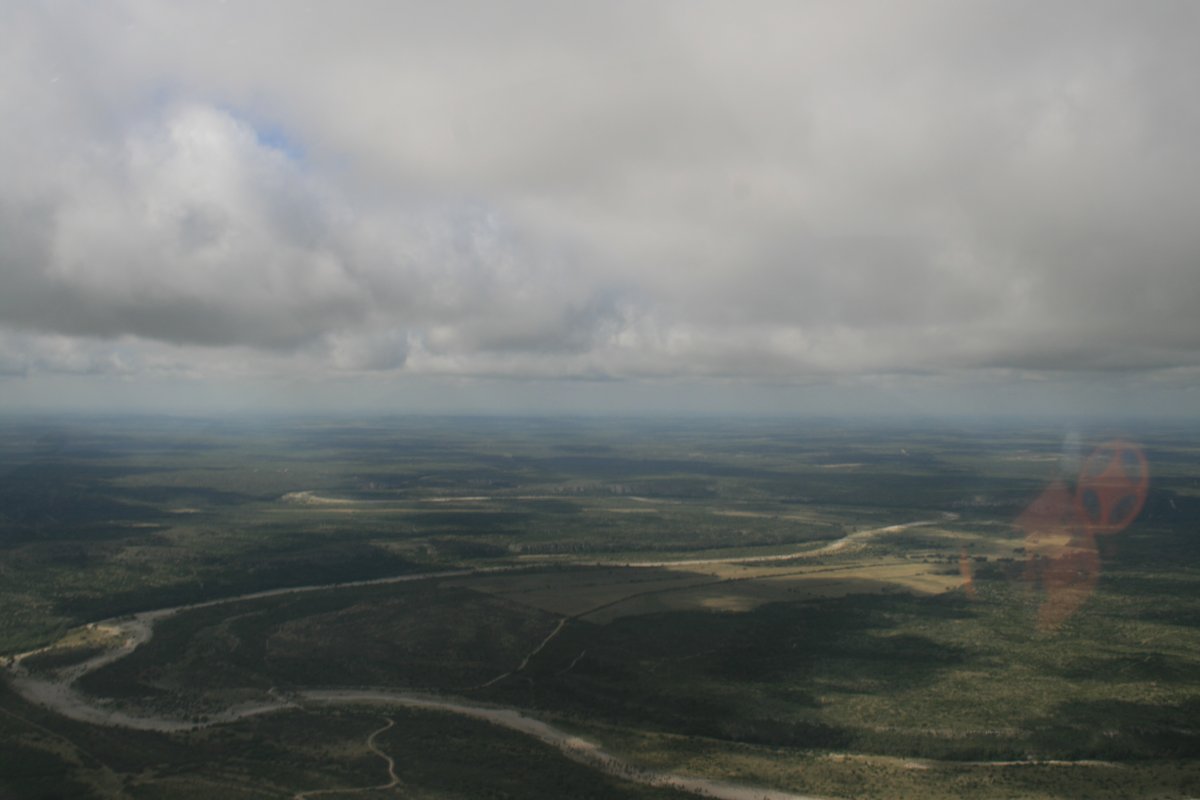
Following a dry river bed.
|
| |
 |
|
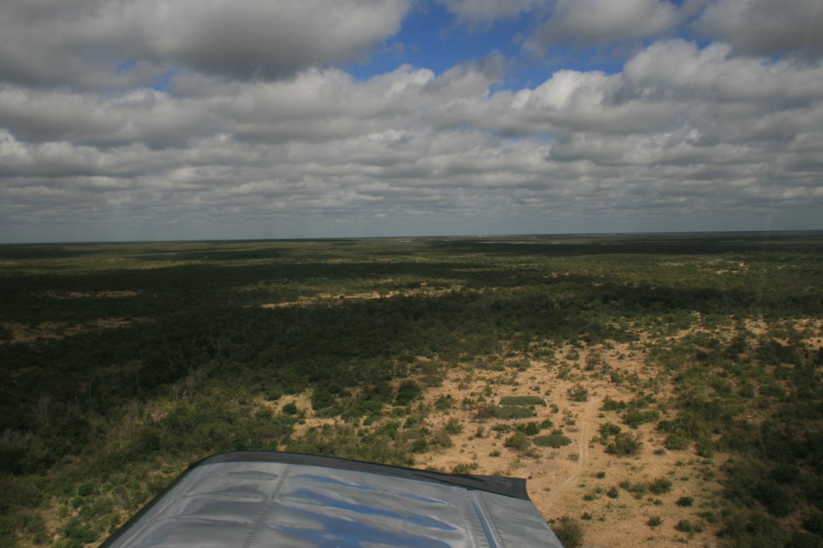
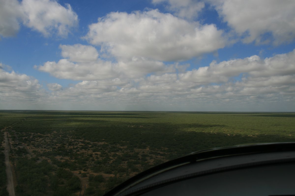
| Civilization disappeared so I went down low. |
| |
 |
|
|
|
| |
 |
|
| An old abandoned oil rig, rusting away. |
| |
 |
|
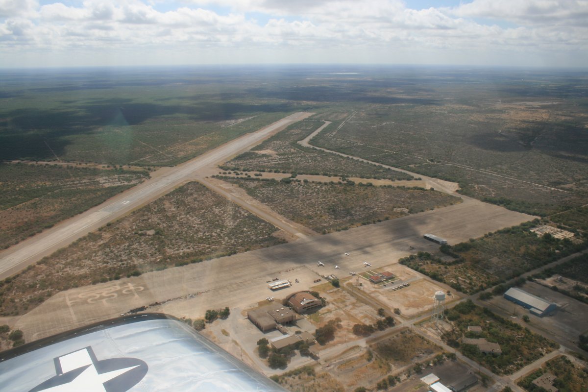
| I reached the border right around Maverick County Airport (5T9). |
| |
 |
|
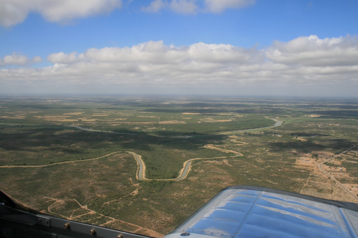
| Back on the Rio Grande River. |
| |
 |
|
|
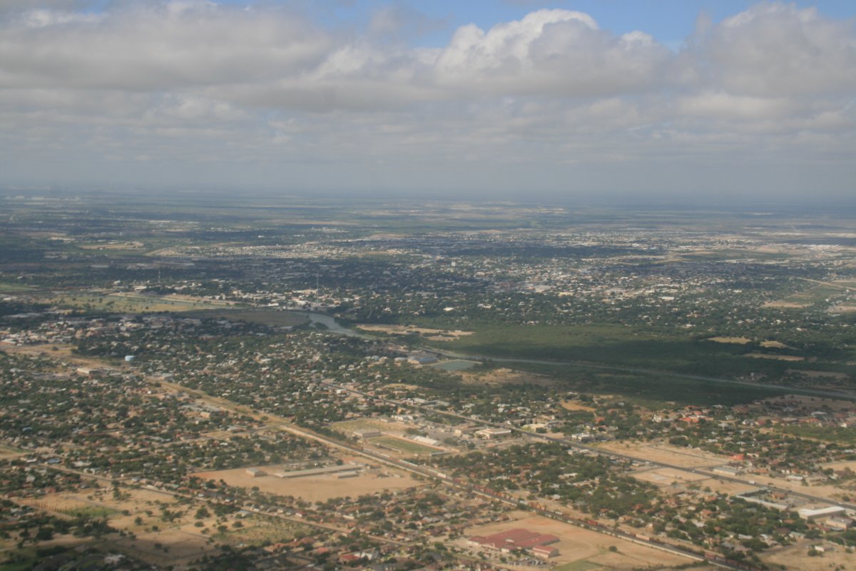
Passing by the town of Eagle Pass on the American side and Piedras Negras on the Mexican side.
|
| |
 |
|
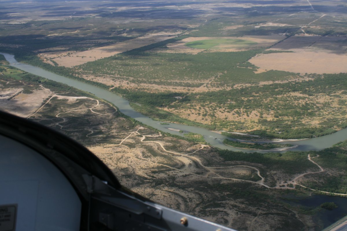
| Cruising alongside the Rio Grande. |
| |
 |
|
|
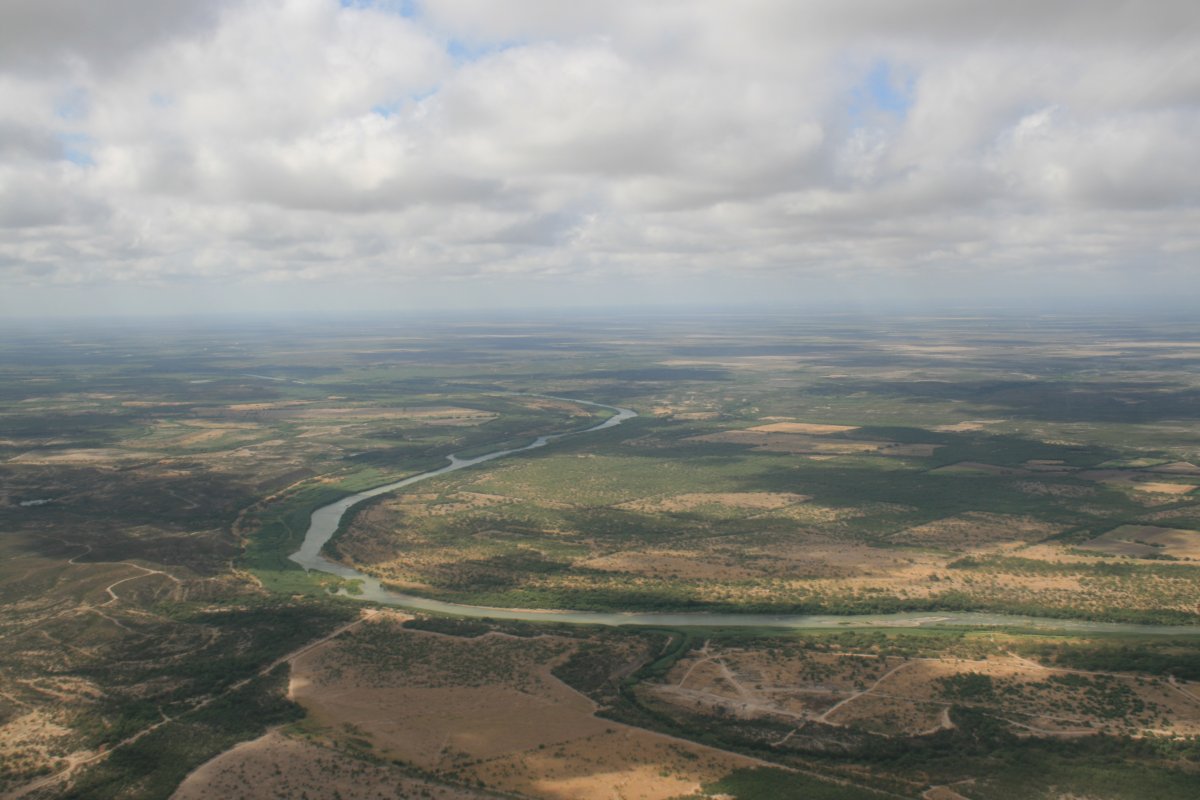
Just winding through the country.
|
| |
 |
|
| |
| |
 |
|
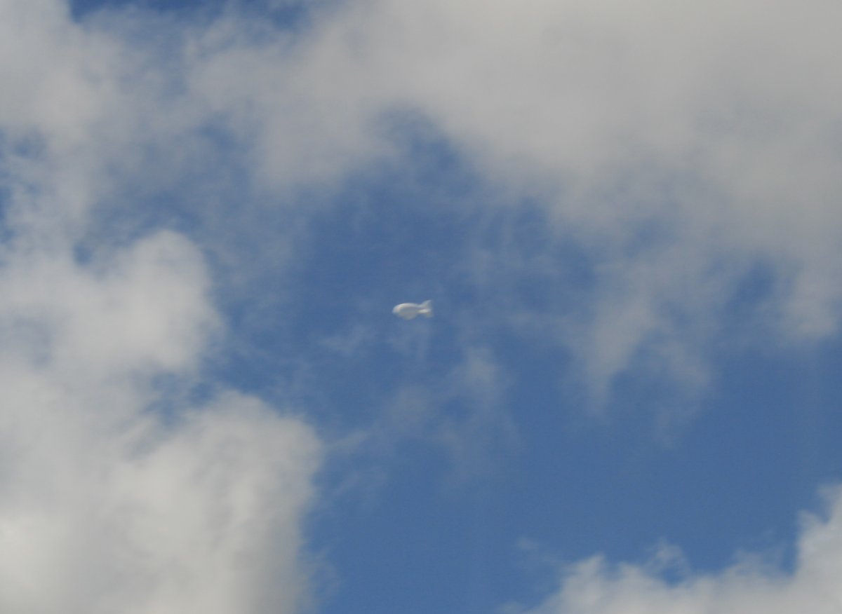
| Passing by the AeroStat -- balloon with a radar on it. There is a five mile diameter restricted area I have to stay out so I don't run into the balloon cable. |
| |
 |
|
| |
| More River. |
| |
 |
|
|
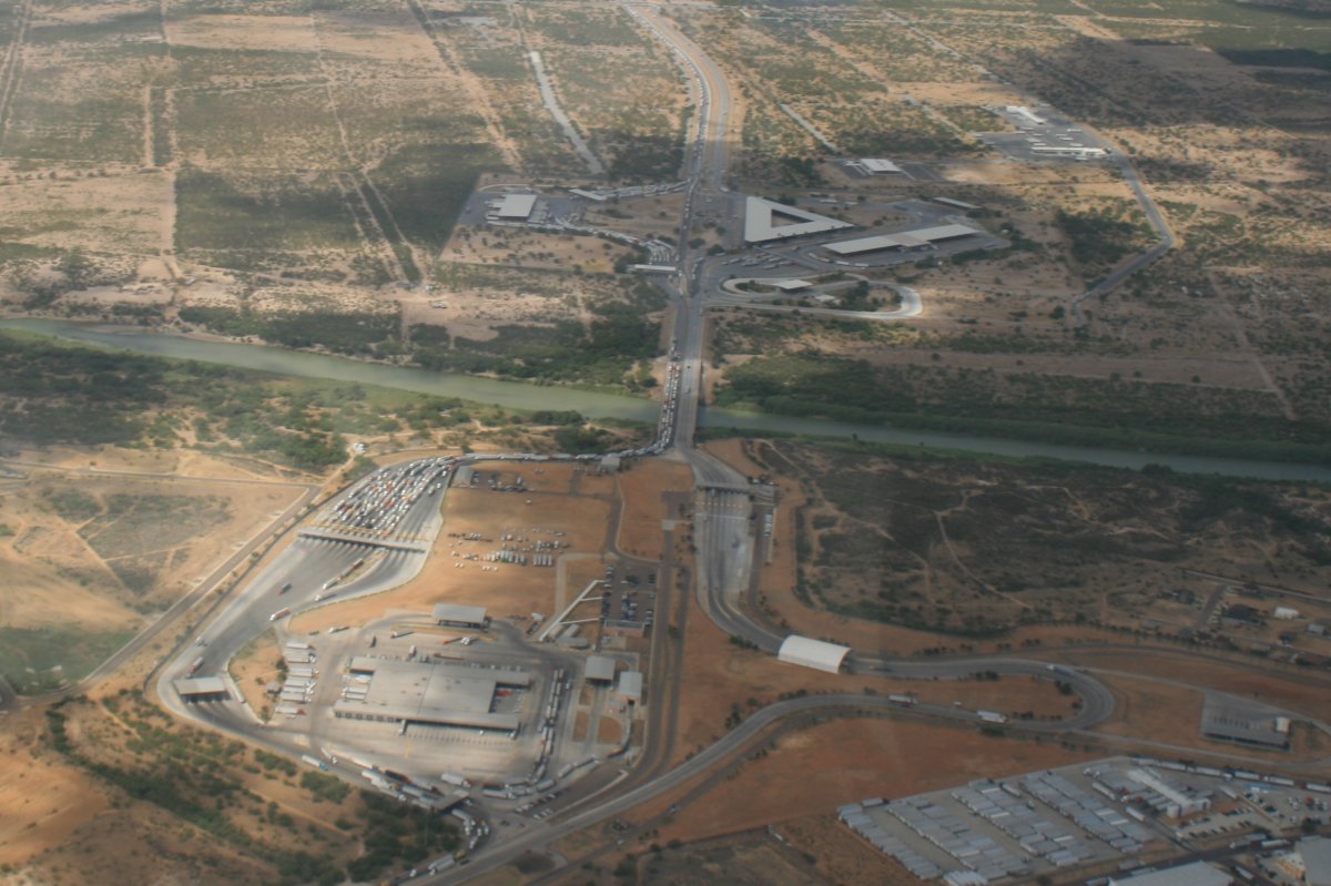
Border crossing. Notice the huge traffic jam of trucks wiating to get into the U.S.
|
| |
 |
|
|
Approaching the town of Laredo, Texas.
|
| |
 |
|
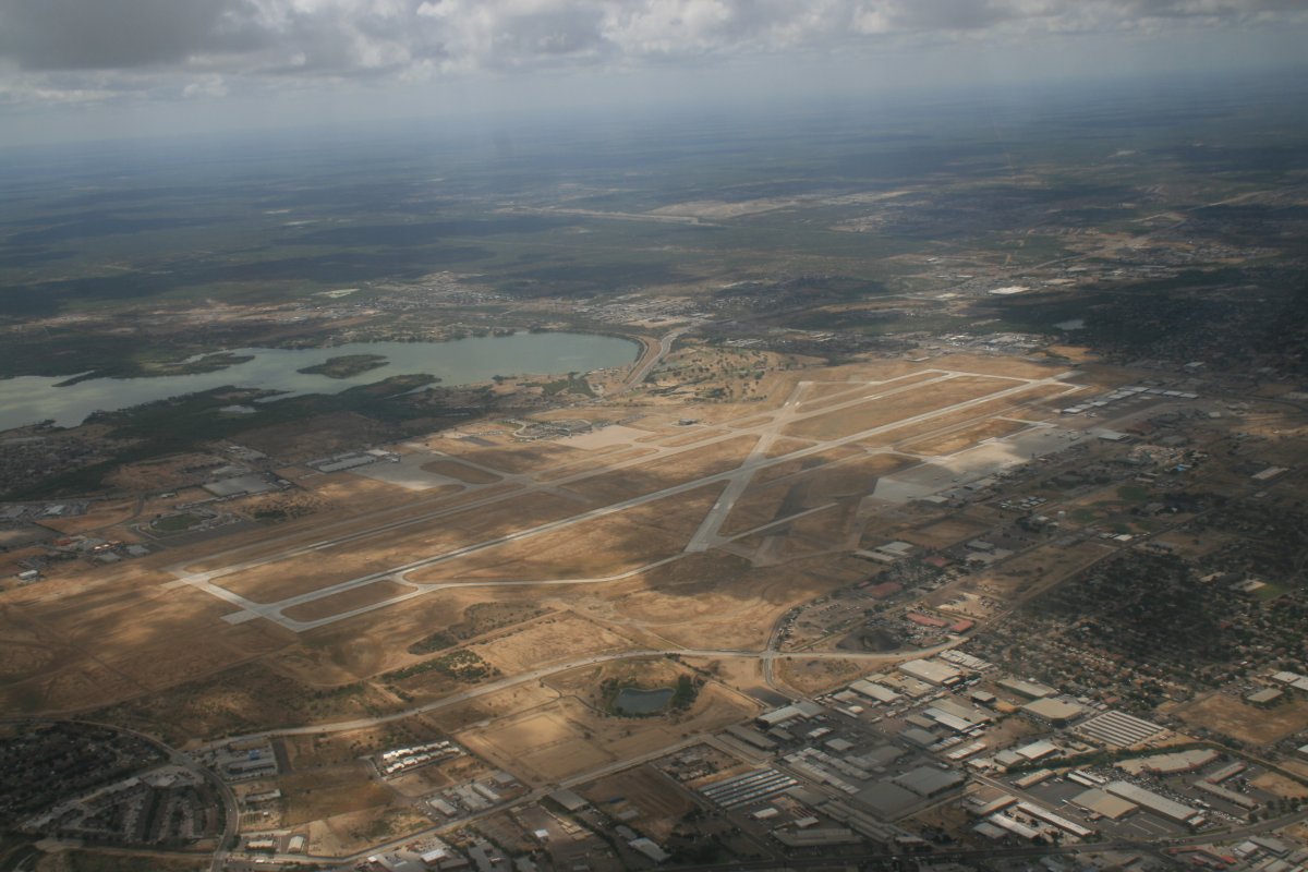
| Laredo has a pretty good size airport. I had to fly over the Class D. |
| |
 |
|
| Then, you guessed it. Back on the river. Doesn't look like it would be terribly difficult to get across. |
| |
 |
|
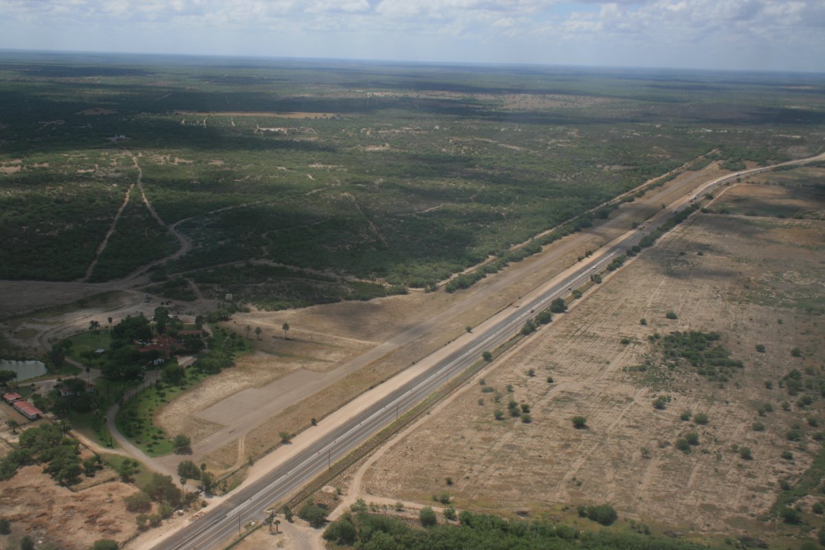
| If you look closely, you'll see an airstrip of the north side of the highway. This is a ranch's private airstrip. |
| |
 |
|
|
Everything is getting greener.
|
| |
 |
|
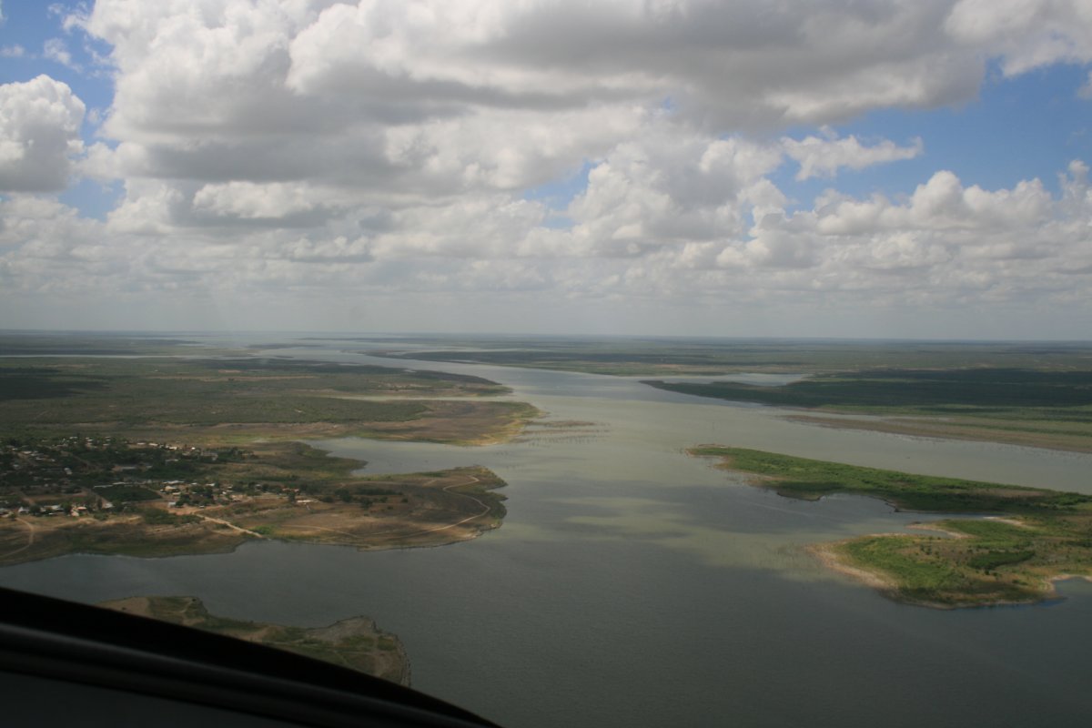
| I am approaching the big Falcon Reservoir. |
| |
 |
|
|
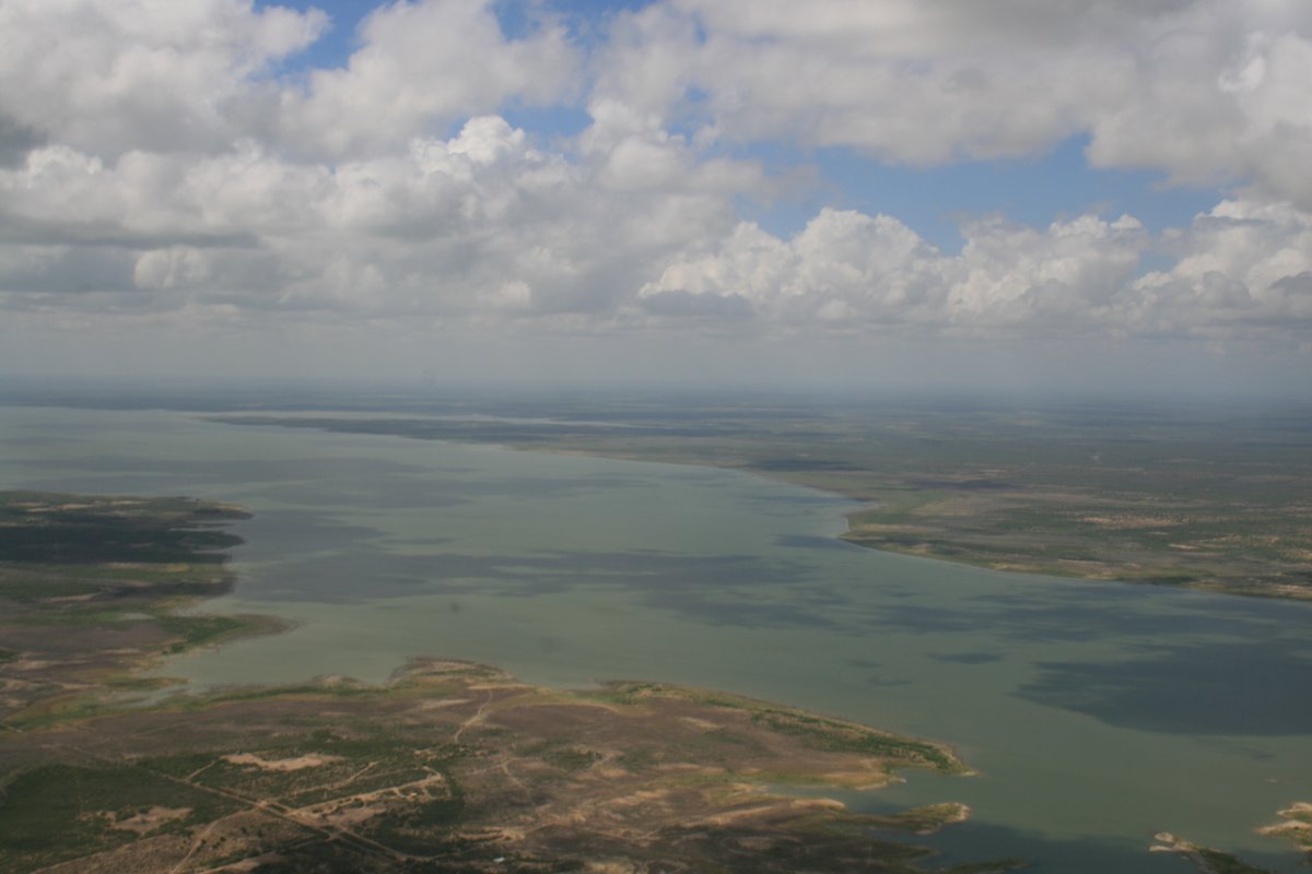
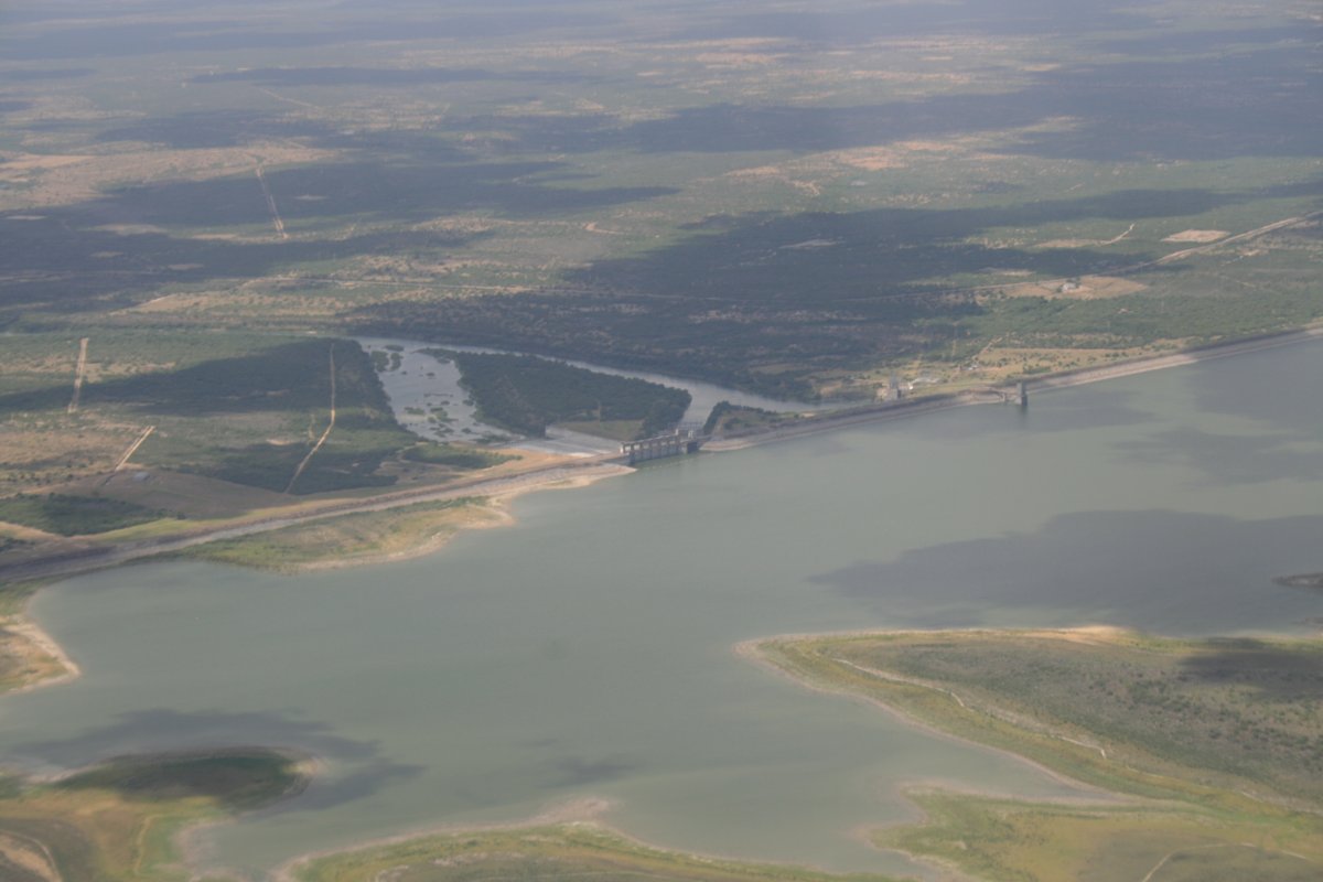
The dam and lake are managed jointly by governments of the United States and Mexico through the International Boundary and Water Commission, which was established in 1889 to maintain the border, allocate river waters between the two nations, and provide for flood control and water sanitation. The lake is named after María Rita de la Garza Falcón, for whom the town of Falcon (displaced by the creation of the reservoir) was named.
|
| |
 |
|
| The dam was dedicated in October 1953 by Mexican President Adolfo Ruiz Cortines and U.S. President Dwight D. Eisenhower. |
| |
 |
|
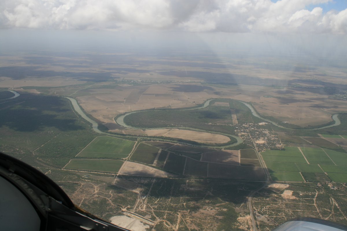
| Green on the U.S. side, brown onthe Mexico side. |
| |
 |
|
| |
| A fence appeared: that brown swatch roughly parallel to the river. |
| |
 |
|
|
Flying over the town of McAllen with McAllen airport visible.
|
| |
 |
|
| |
|
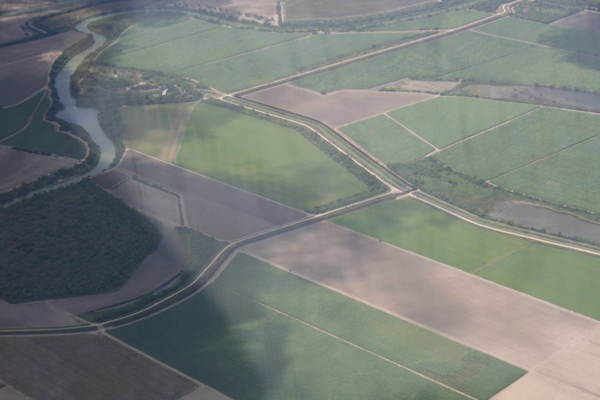
A closer look at the fence which makes a sharp ninety-degree bend in the middle of the picture.
|
| |
 |
|
|
More fence and river.
|
| |
 |
|
| Looking south into Matamors, Mexico. Brownsville is on the U.S. side. |
| |
 |
|
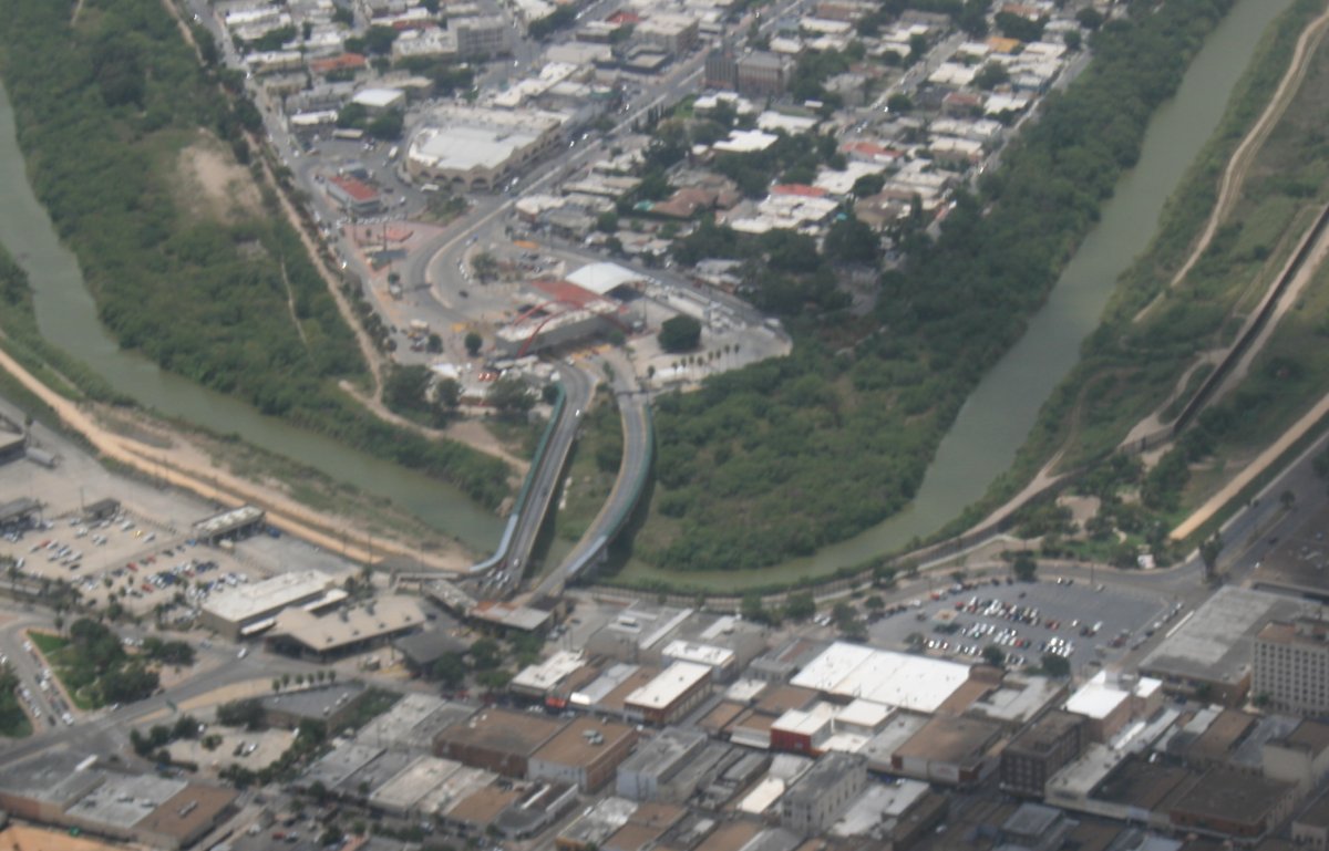
| Zooming in on the border crossing. |
| |
 |
|
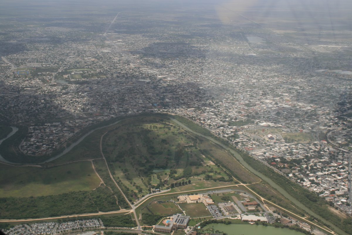
| Matamoros is a good size city. |
| |
 |
|
|
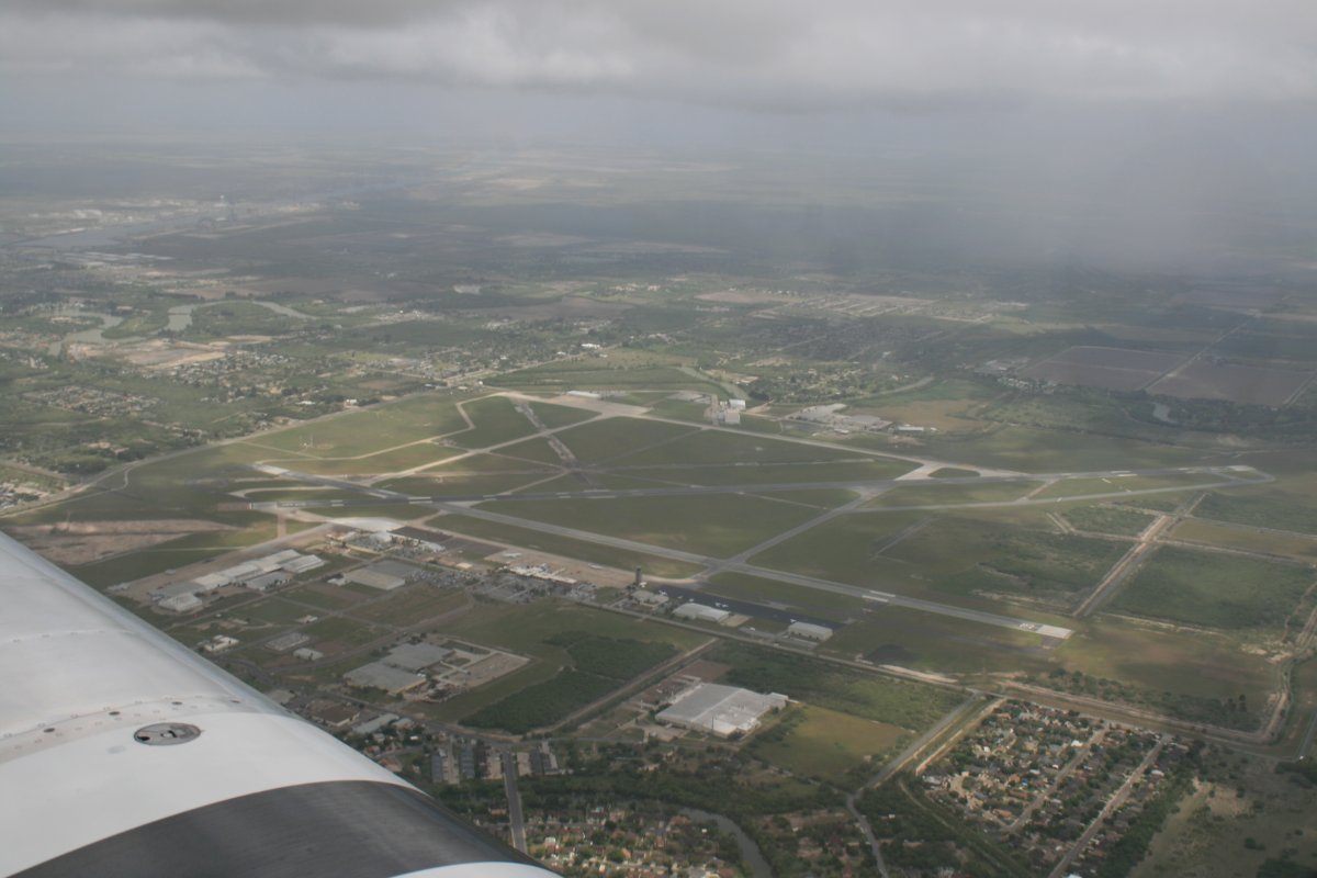
Brownsville Airport. I had to stay above their Class D but clear of the rain clouds overhead.
|
| |
 |
|
| Flying down Brownsville Ship Channel, obviously man-made, since it is so straight. |
| |
 |
|
|
I noticed something in the Channel that looked like an aircraft carrier, so I headed that way.
|
| |
 |
|
|
Yep, that's an aircraft carrier all right. I searched the Internet and figured out it is the U.S.S. Forrestal (CV-59). The Forrestal was the first SuperCarrier to be decommissioned. She served for 38 years, being commissioned in 1955 and decomissioned in 1993. The Navy sold her to a salvage company for $1. (The salvage company makes its money by selling the metal.) She was towed here in February.
I missed the arrival of the U.S.S. Saratoga (CV-60) by a week. Also coming is the U.S.S. Constellation. But unlike the Forrestal and Saratoga, which were towed fromt the East Coast in a couple of weeks, since the Connie is coming from the West Coast, she has to be towed all the way around South America.
Here is a neat link to see what happened to all the U.S. Navy's aircraft carriers: Link
|
| |
 |
|
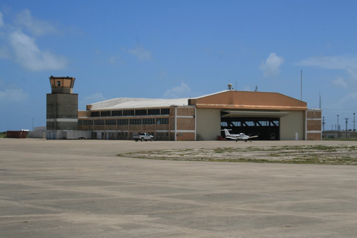
| I had been flying awhile and was ready to land. I stopped at Port Isabel - Cameron County Airport, a good-sized airport out by itself. |
| |
 |
|
| I believe this used to be a military airport but there was no history about it the FBO building or even on the Internet. A comment on AirNav said this place was used as the setting for the Aerial Firefighting school in the movie Always. I saw the movie with Richard Dreyfuss, Holly Hunter, John Goodman and Brad Johnson and I believe this is the place. |
| |
 |
|
|
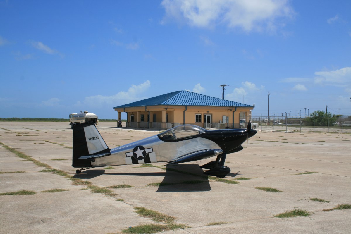
My RV parked outside the FBO building. Not too hard to find place on the ramp.
|
| |
 |
|
| |
|
|
|
|
|
|


