July 21, 2007 - My Greatest Soaring Day Ever

The weekend weather forecast had looked promising all week.  I had a feeling soaring would be great this weekend and Saturday's weather did not disappoint.  Sunny but relatively cool in the high 70s and light winds.  Driving out to the field, I could see the visibility was exceptional. 

Last Saturday I flew NE to Frederick.  This weekend I thought I would head SW towards Winchester and then maybe even Front Royal if conditions allowed.  Jan, the tow pilot, said he would come get me if I had to land at one of those airports.  Then he would just tow me back home -- a lot better than having to disassemble the glider and trailering it back.

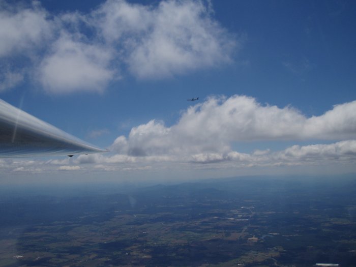
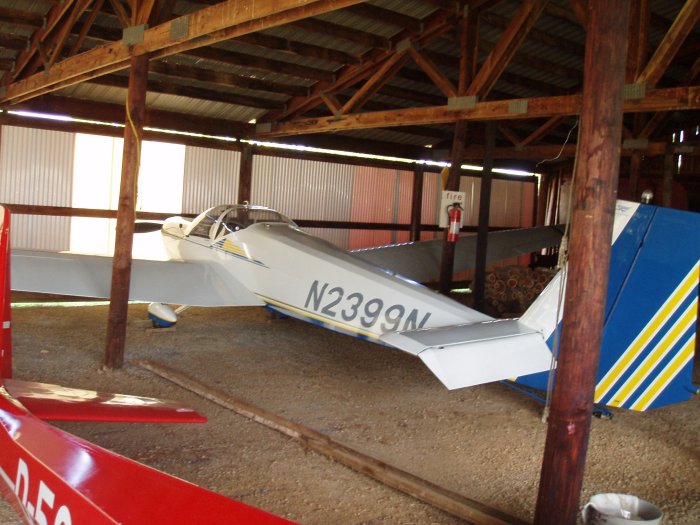
I took off around 1PM in the Ka-8.  Jan towed me due west to the ridge.  We flew through some sink where the climb rate was zero, even though I was being towed.  At the ridge,  however, we flew into a strong thermal.  Both tow plane and glider were climbing at 1000 fpm.  I released at 2,000 feet and circled up to 4000 feet.  There the thermal petered out so I headed SW to the next ridge where there were some big cumulous clouds high above.  High above, I spotted Bill B., who had taken off before me in his 1-26.  That meant a good thermal nearby.  Soon afterwards I flew into an intense thermal where my variometer pegged out at 1000 fpm.  I zoomed up to 6500 feet.  Bill B. was still 500 feet above me, but I had plenty of altitude to head SW and make Winchester.  The big valley was a sea of cumulous clouds so I was confident of finding lift. 

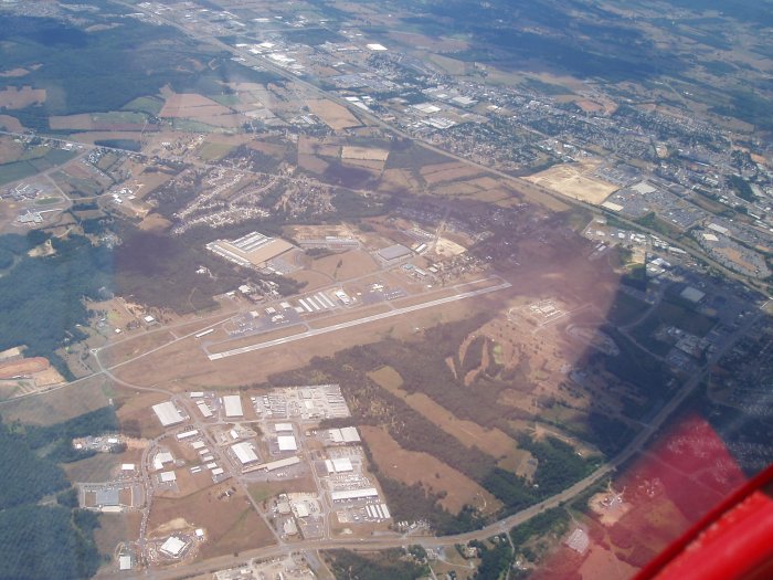
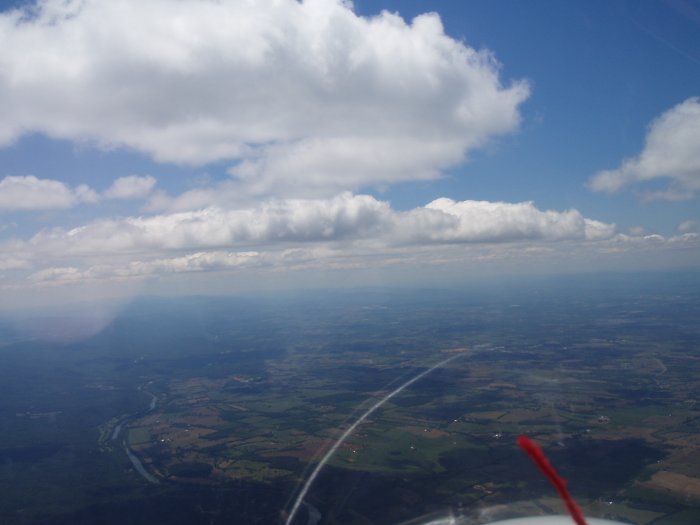
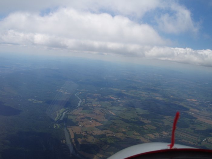
I'm heading south at this point.  Harpers Ferry is just out of site in the lower left.  The Potomac River is at the far right of the picture and the Shenandoah River is horizontal at the bottom of the picture.  Charlestown, West Virginia -- whose claim to fame is their horse racing track -- is left center. 


This is what a glider pilot likes to see.  Big cumulous clouds.  Lift can almost always be found underneath them.  The Shenandoah River is on the left.  To the right is a huge valley but it is not the famous Shenandoah Valley.  That is dead ahead about 30 miles between some ridges.  The visibility was unbelievable.  This is as good as it gets on the east coast.  Distances were deceiving -- farther than they looked -- because the air was so clear.  Look how blue the sky was.
Looking to the east. The dark green horizontal streaks are tree covered ridges. 
Heading south following the Shenandoah.  That red thing is my yaw string -- a piece of yarn taped to the base of the canopy.  I use the yaw string to tell if I'm flying straight.  If it veers to the side, you step on the rudder to that side, to bring the yaw straight straight up.  You're on the rudder continuously in a glider, even more than in a taildragger.
I turned southwest and headed out into the valley.  Between clouds where there was no lift, or even sink, I'd gradually descend.  But when I flew under a cloud, I'd circle in a thermal and regain my altitude.  I had no trouble staying at 6000 feet and above.  One thermal was particularly intense and I zoomed up to 7000 feet, the highest I'd ever been in a glider.  I took a picture to celebrate the big event.  Later on I would go even higher, to 7800 feet.

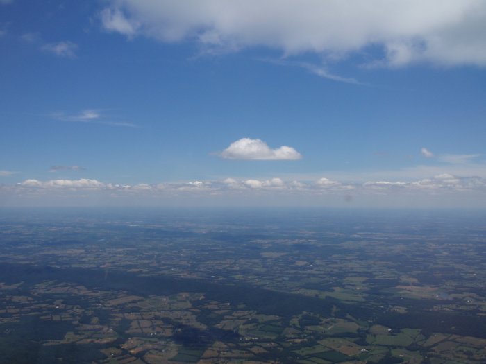
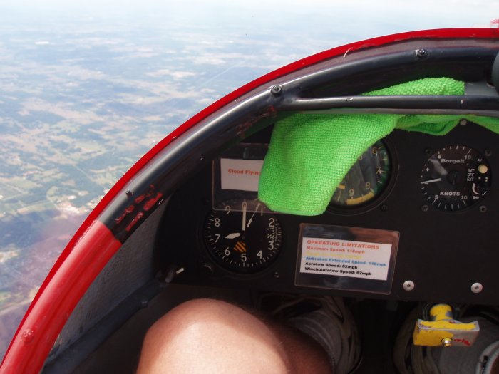
The altitude is nice to have when you're a long way from home base.  However, there are a couple of disadvantages.  First, it gets pretty cold up this high, especially when you're just wearing shorts and a T-shirt!  But I'd rather have the altitude and be uncomfortable than be low and warm.  

The second problem was with jet airliners.  Dulles International is only 15 miles or so to the east of where I was.  I was about 7500 near Winchester when I saw this guy go by.  That was when I noticed on the chart that a flight route goes right over Winchester into Dulles.  I figured that he was a good 2000 feet above me so I was OK.  Still, I was uneasy, because the glider doesn't have a transponder, and the jets probably don't expect a glider to be in this area. 

Not five minutes later I saw another jet airliner ahead of me, same altitude.  I immediately turned north and dove to pick up speed.  He passed safely astern of me but I definitely did not like having to maneuver to avoid jet airliners.  I didn't want to go south anymore so I turned north. 

That's Winchester airport down there. 
 
About this time the battery in my camera died.  I was using my old little pocket Olympus; there is just no room in the Ka-8 for my big Canon Digital Rebel.  The Rebel requires two hands but the Ka-8 demands no less than one, so the Rebel just doesn't work out.   
 
I headed north to the right of Martinsburg -- a towered airport-- , over Charlestown, and then over the Antietam Battlefield site.  Despite being a big military history buff, I have never been to this place.  I glanced at my chart and sure enough, there it was.  So I enjoyed flying over it at 6000 feet.  It is just to the east of the Potomac River.    
 
All this time, I had been flying at 6000 or higher.  Conditions were so good, I could find a thermal and gain altitude whenever I wanted.
 
After Antietam I headed east and flew north of Harpers Ferry and the Potomac River.  I had been in the air over two hours but felt good so I decided to go to Frederick.  I ran into some sink and soon I was down to 4000 feet.  At this point I had just enough altitude to make it back to Jan's if I wanted.  But I wanted to go to Frederick, so I hunted around, found some weak lift, worked it, found a better thermal, and soon I was safely back up to 6000 feet. 
 
I headed northeast and soon I was directly over Frederick where I found a strong thermal.  They were launching gliders down below.  Plus lots of powered traffic as well. 
 
I had enough altitude to make it back to Jans even if I didn't catch another thermal, so I lowered the nose and brought my speed up to 70 mph.  In comparison, I thermal at around 40 mph.  I had a little tailwind so I really zoomed back to Jans.  I flew through areas of lift so I hardly lost any altitude during the high speed run.  I ended up over Jan's at around 4000 feet.  Guinevere was thermalling high above in the Birdfalke. 
 
I did some "fun" work consisting of stalls, wingovers and steep turns, not concerned about preserving altitude at all.  When I was down to 1000 feet I entered the pattern and landed.
 
I set three personal records on this flight:  my highest altitude ever in a glider (7800 feet), my longest duration (3 1/2 hours), and my farthest distance (I havn't figured out the miles yet).  What an awesome flight! 
 
The Ka-8 back in the barn after a good days work.
This is the "Green Machine" used to move gliders around.
The tow plane.  It's a motorglider and has a Rotax 912. 
 
Previous
Home
Next