September 26, 2005 - NJ, NY, Cub
|
|
On another excellent flying Saturday, Bruce and I headed north to
pick up Bruce's newest acquisition: a 1941 J-3 Cub! We decided
to fly the Jersey Coast and Hudson River corridor on the way up.
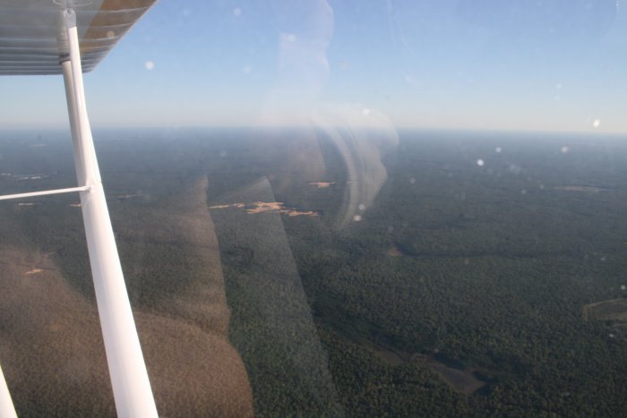
Actually, first we headed due East into the sun to reach the Jersey
Coast at Ocean City, NJ. To get there, we had to fly over the Pine
Barrens forest of south New Jersey. Most people don't think of a sea
of unbroken forest when they think of New Jersey.
|
|
|
|
|
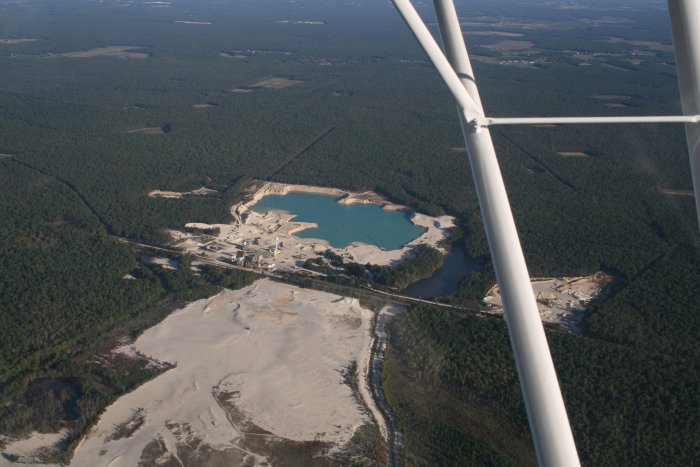
Not sure what this was.
Extracting something from the earth, I
guess.
|
|
|
|
|
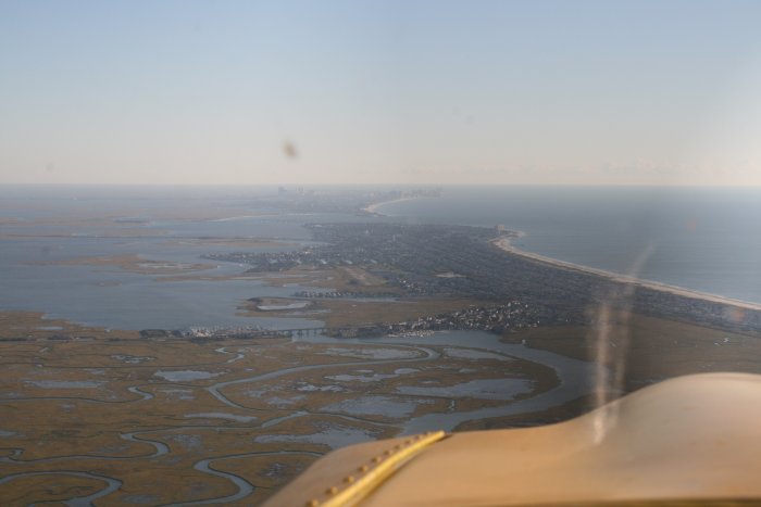
Approaching the
coast, looking
north. |
|
|
|
|
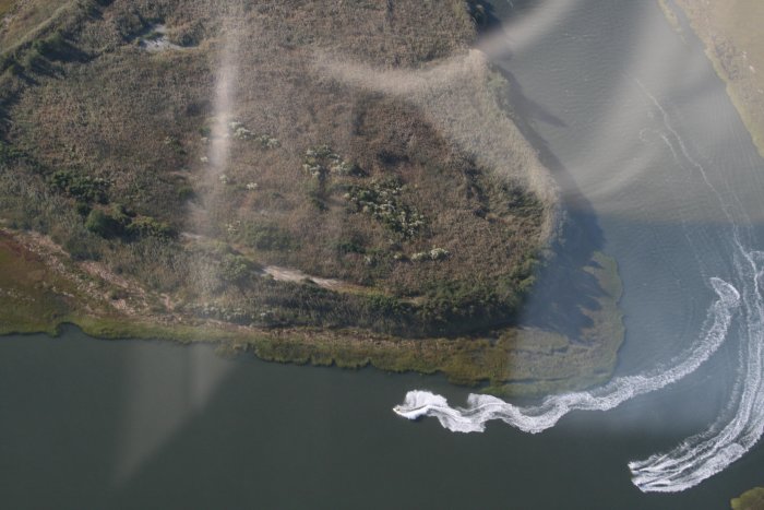
I looked down and saw these three
jet-skiiers having
fun.
|
|
|
|
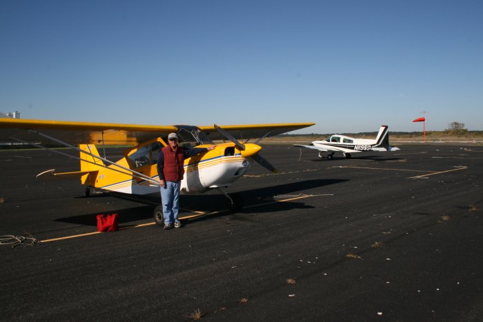
| I was flying this
leg. The winds were 15 mph directly perpendicular to the
runway. I made a pretty good cross wind landing if I don't say so
myself. |
|
|
|
|
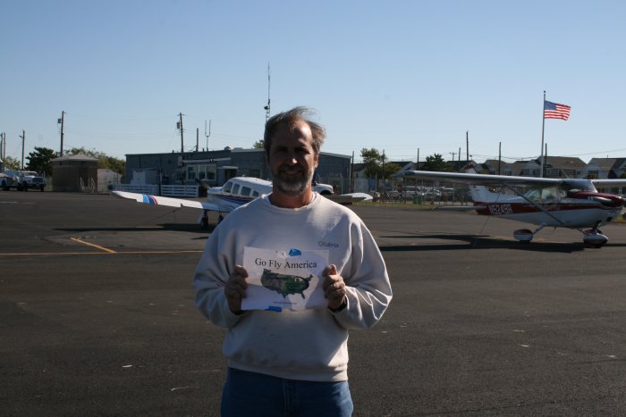
The FBO/terminal building is in the background. It includes a
little restaurant, which is why we stopped here. |
|
|
|
|
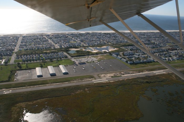
Ocean City Airport
from the air. You can see how close it is to the ocean. People
fly in to this airport, walk to the beach, spend the day, then fly
home. They even have shower facilities at the terminal! A few
of the houses to the right have hangars -- an airport community
deal. |
|
|
|
|
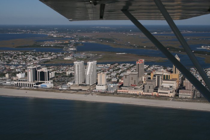
Bruce flew this leg. We flew
north up the coast. That's Atlantic City with old Bader Field -- now
closed due to lack of interest by the city -- in the background.
|
|
|
|
|
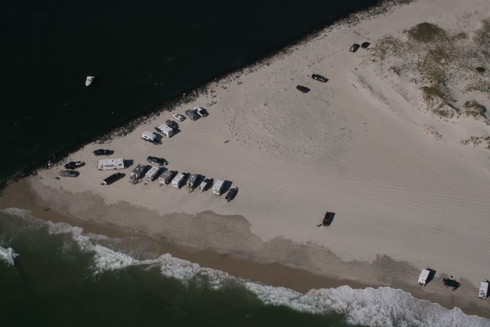
Further north was a
section of beach with no civilization other than the vehicles which I
guess are allowed to drove on the beach. There's a bunch of RVs on
the beach in this picture. We would see a pickup truck about every
100 yards with it's owner sitting in a lawn-chair minding his fishing
pole. Not a bad way to spend a nice day like today. |
|
|
|
|
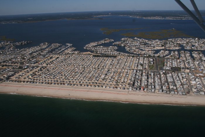
Check out that square of houses.
No paved roads. Just
sand.
|
|
|
|
|
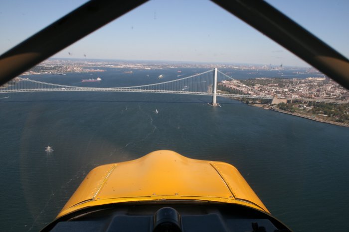
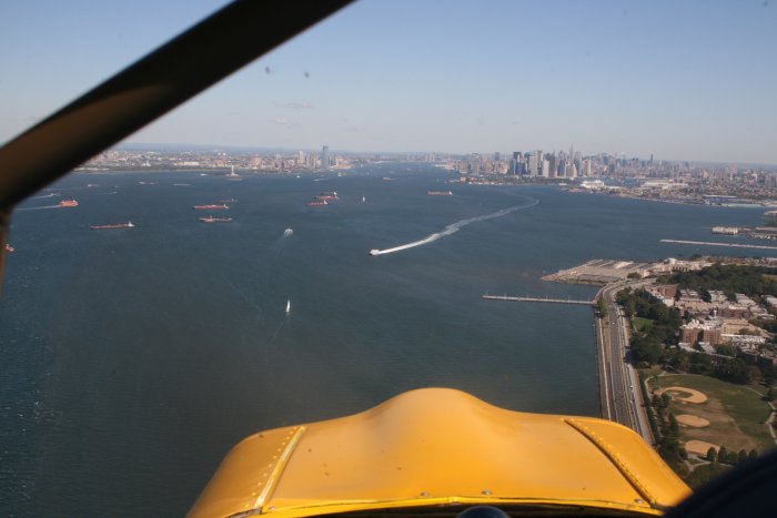
Soon we came to the big apple. That's the Verrazano-Narrows
Bridge up ahead. Brooklyn on the right. Manhatten in the
background.
Flying the Hudson River corridor is not difficult but you do need to
know what you are doing and have a NY Terminal chart. The best
guidance I found for flying the corridor is this Link. |
|
|
|
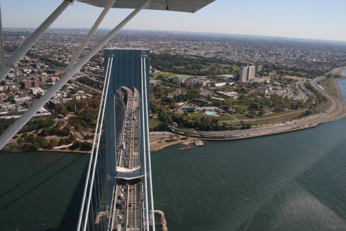
| Crossing the
Verrazano-Narrows bridge. We had to stay below 1100 feet to avoid
the Class B airspace. |
|
|
|
|
Flying over New
York Harbor. It's a busy place with quite a few ships swinging at
anchor. |
|
|
|
|
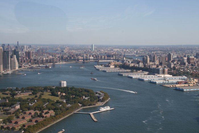
Looking east down the East
River. I don't think you can fly the East River anymore after the NY
Yankee pitcher Cory Liddle crashed his Cirrus into the side of a
building.
|
|
|
|
|
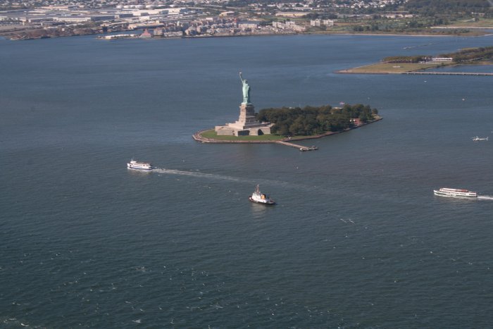
I hope I don't have
to tell you what this
is. |
|
|
|
|
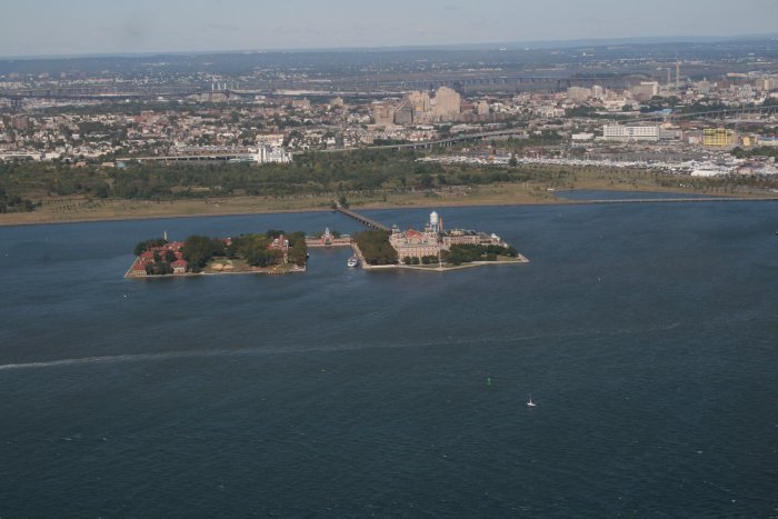
This is Ellis Island, the main entry
point for immigrants entering the United States the first half of the 20th
century.
That was then, but this is now.
Now folks pretty much just walk right on
in!
|
|
|
|
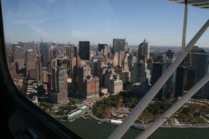
| Manhatten.
World Trade Center ground zero site is in there somewhere. |
|
|
|
|
|
|
|
| |
|
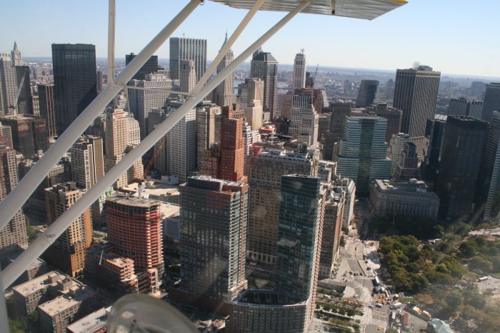
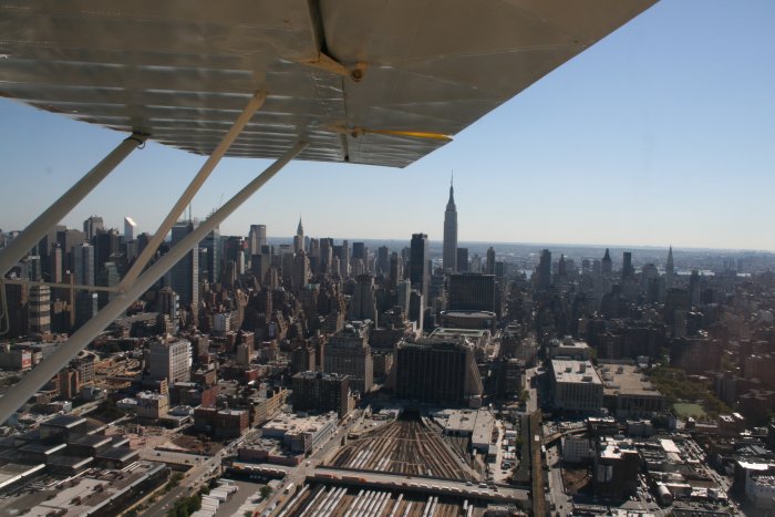
The Empire State
Building dominates that cluster of buildings in the
distance. |
|
|
|
|
|
|
|
|
|
Check out all the
rail lines heading into that tunnel -- going to Penn
Station, I imagine. |
|
|
|
|
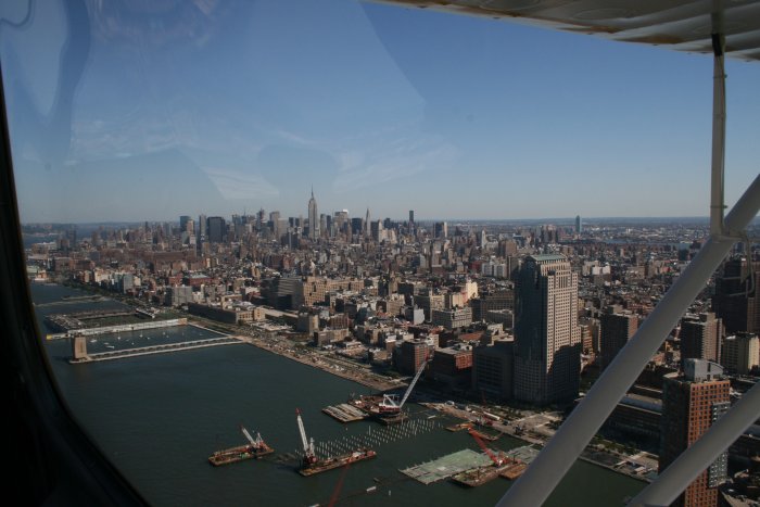
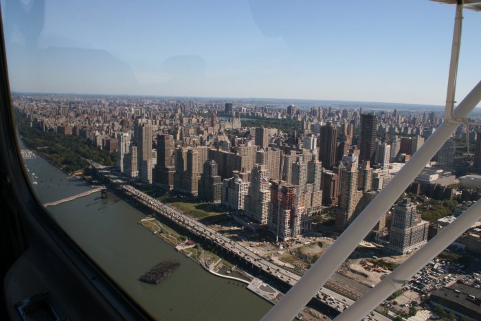
You can see Central Park in the center
background.
|
|
|
|
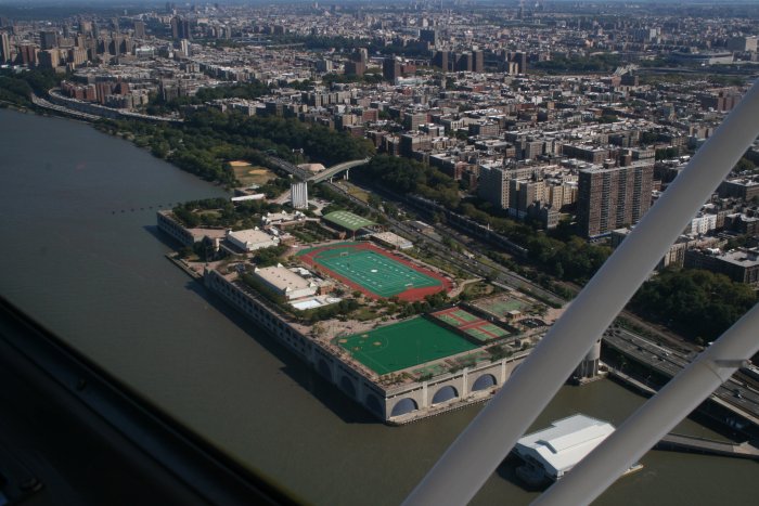
| Big sports
complex. |
|
|
|
|
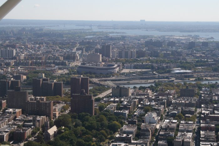
A good shot of Yankee Stadium.
Which reminds me, when flying the Hudson River corridor, you need to
check the Yankee's schedule. You can't fly the corridor when the
Yanks are playing. |
|
|
|
|
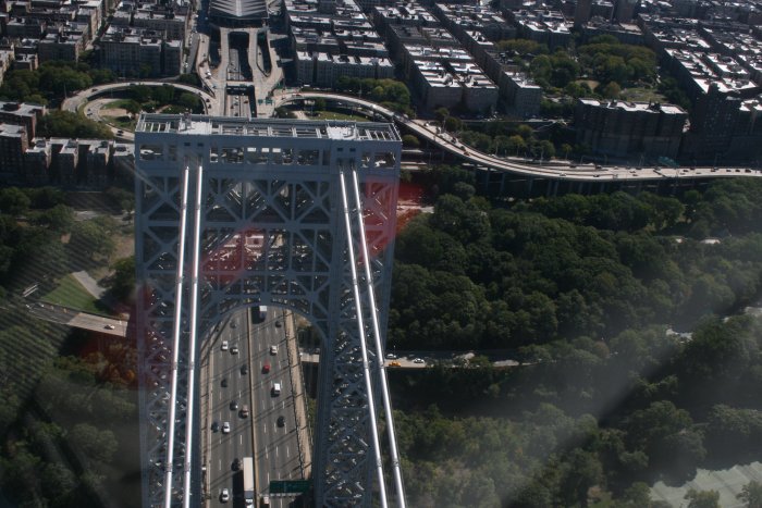
Crossing the George
Washington
bridge. |
|
|
|
|
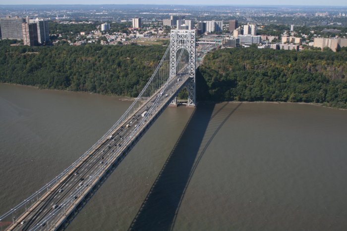
Looking back at the GW
bridge.
|
|
|
|
|
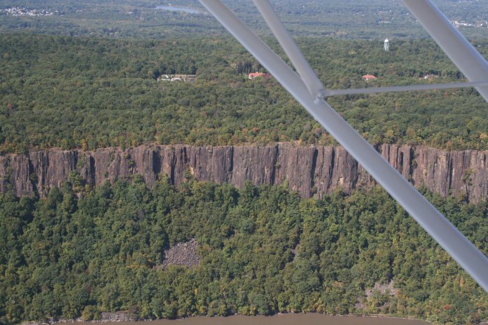
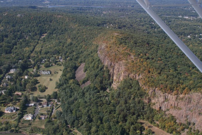
Rock cliffs and
trees on the west side. Lot of rock in this part of the
country. |
|
|
|
|
|
|
|
|
| Looking back on the
west side. |
|
|
|
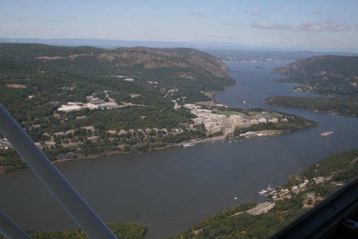
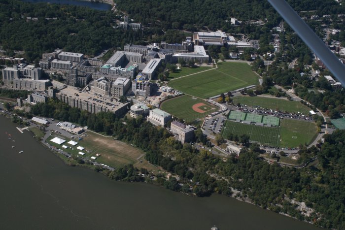
| We continued up the
Hudson River because I had to see the U.S. Military Academy at West Point,
of course. |
|
|
|
| And there it
is. Talk about tradition: Robert E. Lee, U.S. Grant, Pershing,
Eisenhower, Patton, Petraeus. |
|
|
|
|
|
|
|
|
|
|