January 27, 2007 - ADIZ Tour
|
|
I hadn't been flying in three weeks and the weather looked promising for
this Saturday, so I decided to go claim a bunch of airports for the
ConUS Challenge.
And in fact, the weather was very nice all day: sunny, light winds,
and OK visibility. It was a little cool in the morning -- mid-20s --
but it was a positively balmy mid-40s in the afternoon. I let the
Red Dragon pre-heater run for 20 minutes to warm up the Citabria's engine.
I basically flew a big clock-wise circle around Baltimore-Washington
International (BWI) airport, landing at eleven airports, five of which I
had never landed at before. All airports except four were in the
ADIZ. Friday night I called Leesburg Flight Service Station and
filed eight ADIZ flight plans!
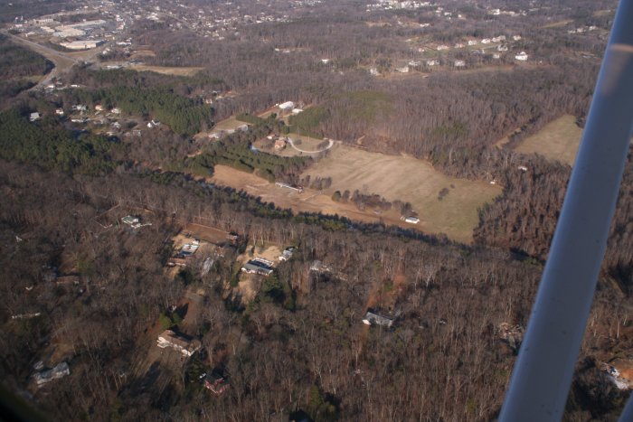
My first airport was Lee Airport in Annapolis. On the way I flew
over Mountain Road airport -- privately owned, so it is not included in
the ConUS Challenge. Seven years ago Bruce found the Citabria here
and we rescued her from oblivion. There is only one plane based at
Mountain Road now. Sad. |
|
 |
|
|
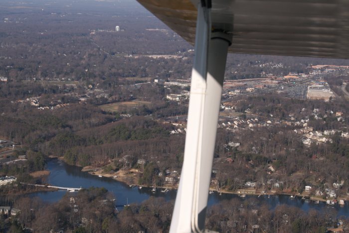
My house is under the BWI Class B airspace so this is as close as I can
get. That's Severna Park Plaza under my wing. Our house is
about a mile up the road.
|
|
 |
|
|
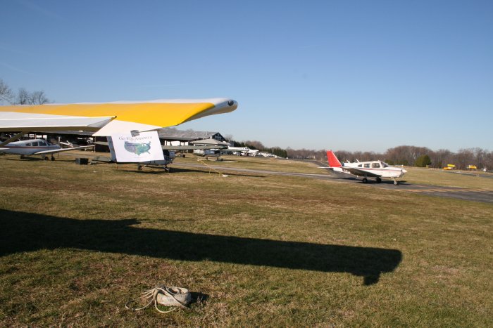
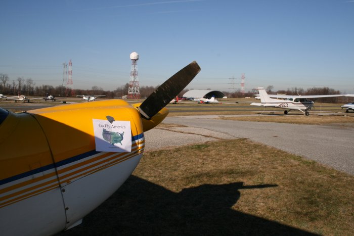
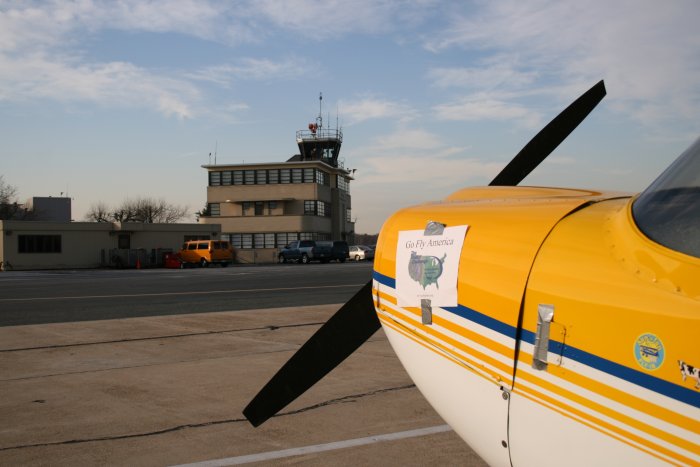
First stop Lee Airport. I've been here many times before so I just
took my photo, then called Potomac Air Traffic Control center to get my
ADIZ squawk code, then jumped back into the Citabria. |
|
 |
|
|
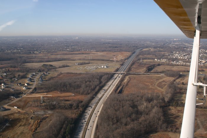
I headed West along I-50 to Freeway Airport (W00), just to the left of
I-50 there. I've driven by this airport a million times but never
landed here. Pretty obvious why it is called Freeway, isn't it?
I could see the Washington monument in the distance -- I'm only about 17
miles from DC, but the picture didn't capture it.
|
|
 |
|
| This little airport is right on the
edge of the Washington D.C. no-fly restricted zone. The capitol is 15 miles
away; you can see the Washington monument on a hazy day! For a small
airport, this place was jumping! Lot of training going on. There was hardly
room to stand in the little FBO office, but they had two friendly guys
behind the counter and free coffee and donuts. Great GA airport! |
|
 |
|
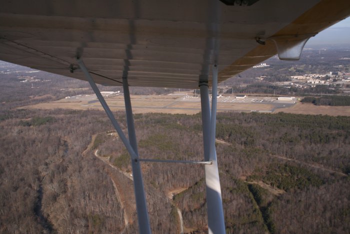
| I headed north ten miles to Tipton
Airport (KFME), seen off to my left. Never landed here before,
although it's closer to my house than Essex Skypark. |
|
 |
|
|
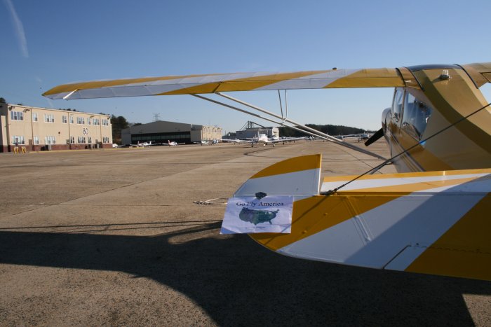
Tipton was formerly an Fort Meade Army airfield with lots of helicopters
based here. It
has long, wide runway, a few large hangars, a huge ramp and lots of
surrounding open land. Unfortunately
the powers that be won't allow any T-hangars built so not much is going
on. It has a nice FBO/pilot's lounge building. The guy behind the FBO
counter never even looked up from the computer when I walked in; engrossed in his solitare
game. This airport is currently dead but has a huge potential. |
|
 |
|
|
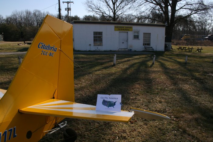
Suburban Airport (W18) was three miles from Tipton. I took off,
called Potomac ATC and said "This is Niner One One Seven Lima off of
Tipton. I have Suburban in sight"!
Suburban is similar to Essex Skypark. It's a small airport, not
too busy, where a bunch of regulars fly and hang out. They have a
pilots lounge, about as upscale as Essex Skypark's. I talked to
some of the regulars; they were friendly guys. Apparently a land
developer owns the airport now, but since the housing market has cooled
down, the airport isn't in immediate danger.
|
|
 |
|
|
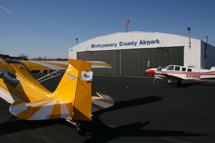
I left Suburban and had a long leg of flying: 17 miles to
Montogomery County airport, also known as Gaithersburg (KGAI)! I
knew this was a very busy, non-towered airport but I was lucky and flew in
during a lull. There was only a business jet ahead of me in the
pattern. They have an on-field restaurant right off the runway and I
had a late breakfast. I ran into a fellow RV-building compadre and
showed him the mighty Citabria. He's hoping to fly his RV in June. Hangars and tie-downs occupy all available space
at this airport. It's nice to visit an airport with a lot of
activity. |
|
 |
|
|
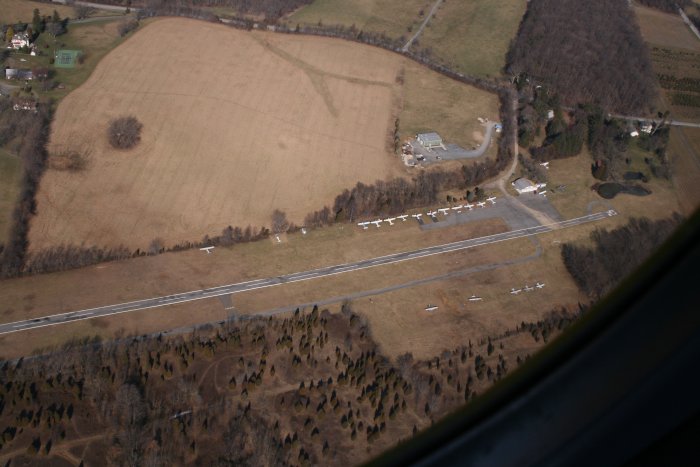
From Montgomery County I headed north five miles to Davis Airstrip
(W50), air airport I know absolutely nothing about. Never talked
to anyone who's been here or even mentioned it. It's on the chart
and open to the public though, so I've got to land here. Strange
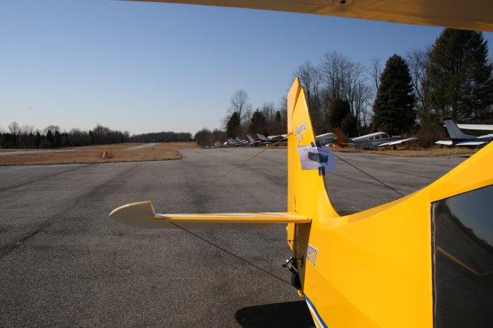
airport. Look how all the tied-down airplanes are facing away from
the runway. The runway is about the narrowest I've ever
encountered and is badly in need of smoothing. It was like a
roller-coaster!
|
|
 |
|
| See all the planes with their noses
in the trees? There was an office/pilot lounge in a room adjoining the
sole hangar but it hadn't been used in 40 years. This airport was
deserted, so I took the photo and left. |
|
 |
|
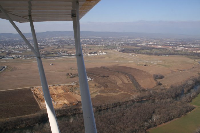
| After Davis, I flew north and
exited the ADIZ. That's Frederick Airport (FDK) off my left wing. |
|
 |
|
|
Frederick has a good on-field restaurant. But the FBO is this upscale, modern,
business jet place so there is no place that I know of for the regular
single-engine aviator to hang out, other than the restaurant.
I've heard Frederick needs a control tower and I can understand why: I had to wait five minutes
just to take-off. There were three
planes ahead of me and five behind, and an endless procession of planes on
final. When the weather is good, this place gets busy. |
|
 |
|
|
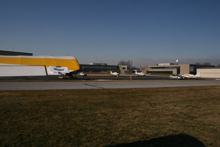
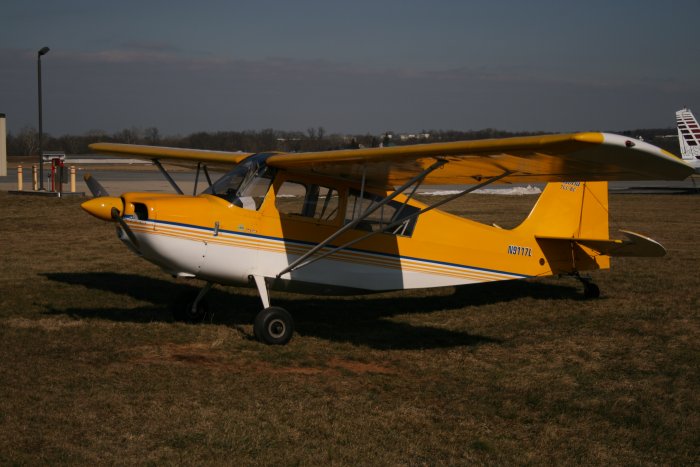
I was playing around with the light-settings on the camera, using the
Citabria as my model.
|
|
 |
|
|
What was nice about Frederick was that it was outside the ADIZ and I
didn't have to call Potomac ATC to get a transponder code. I flew
east and enjoyed some tailwind for the first time all day. I stopped
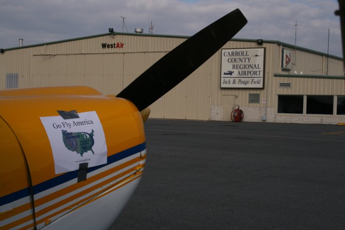
at Carroll County. They have a nice, modern FBO office and pilot's
lounge, with a little pilot's store. I looked at their fuel prices
and was shocked: $3.25 for full service and $2.98 for self-service.
That's incredibly low for Avgas. |
|
 |
|
|
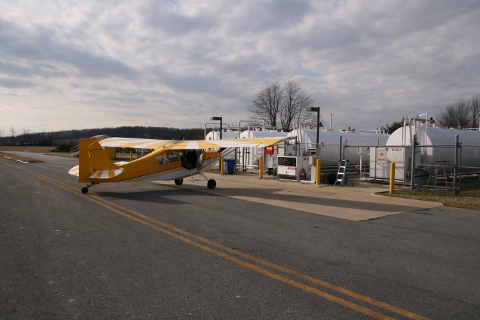
So I taxiied over to the self-service pump which is at the north end of
the runway. Sure enough, $2.98/gallon. They even have a
little porta-potty next to the pumps.
|
|
 |
|
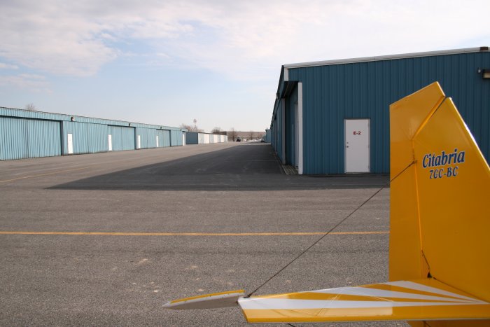
| They have lots of big, modern
hangars. This airport's got it going on. |
|
 |
|
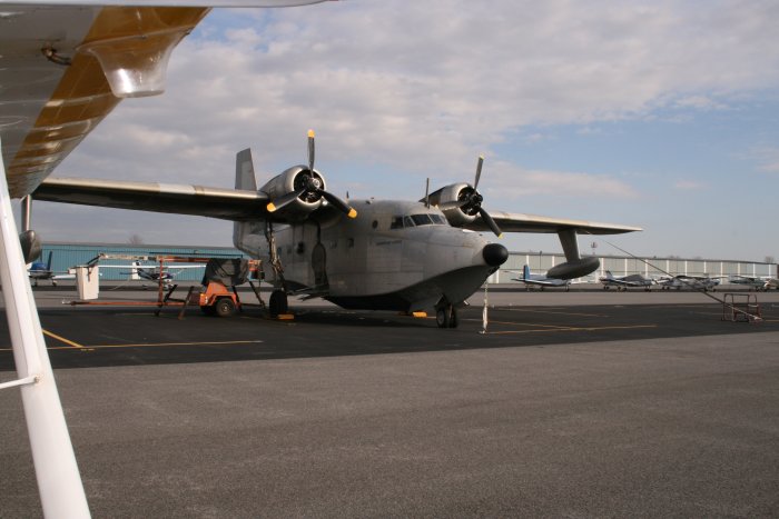
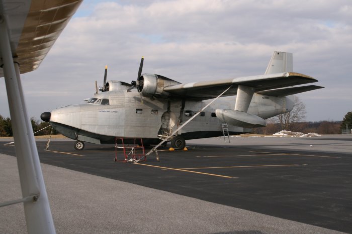
| The big Albatross was sitting on
the ramp. |
|
 |
|
| |
|
Now that is an airplane! |
|
 |
|
|
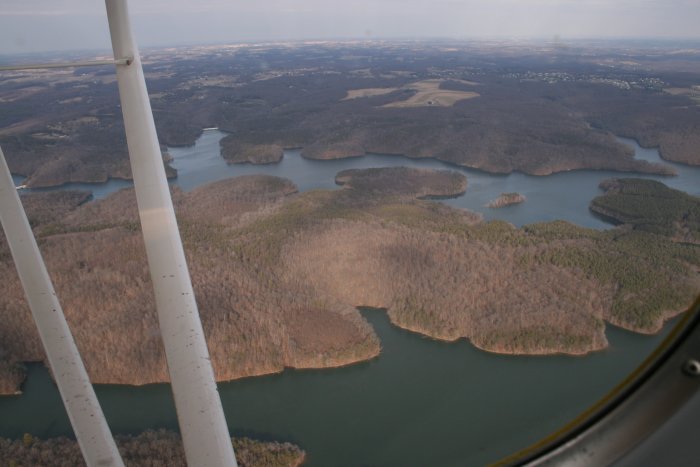
After Carroll County, I continued east about 40 miles to Hartford County
airport. I flew over this reservoir and took the obligatory scenic
shot. This is about as good as your going to get in the winter.
Well, it might be more scenic if we got some snow.
|
|
 |
|
|
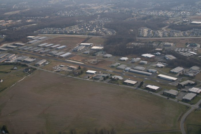
I'm flying along and all of a sudden I see this paved runway. Whoa!
What's this? Never seen it before. It's not on the GPS.
I look at the sectional, and it's a private airstrip. Really unusual
to see a private strip in what looks like an industrial park. |
|
 |
|
|
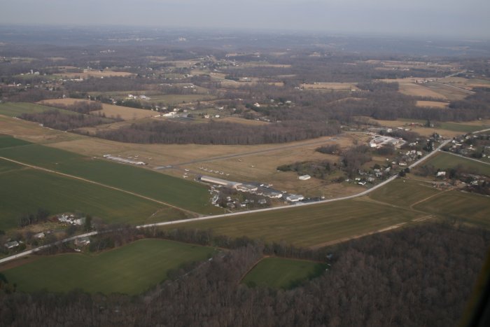
Hartford County which has a grass strip as long as their paved strip.
|
|
 |
|
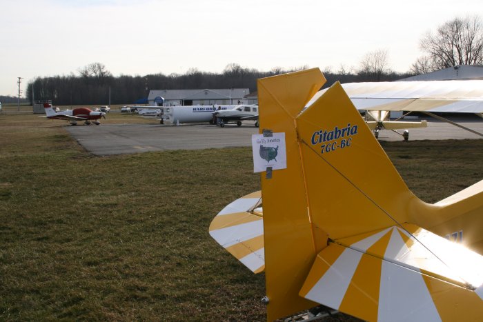
| They have a glider operation here
and in fact, a 2-33 landed while I was here. |
|
 |
|
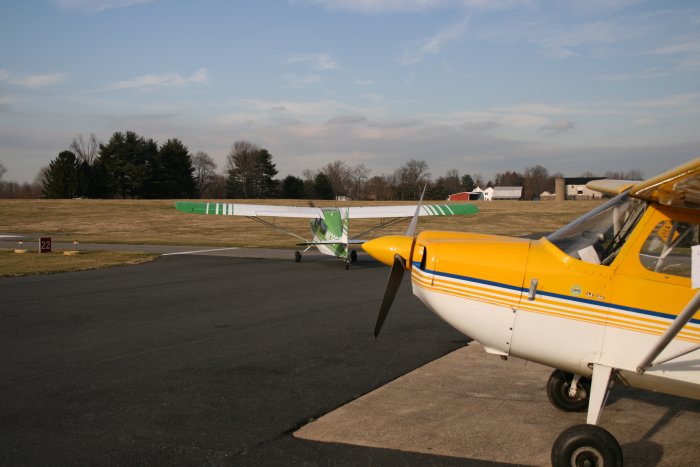
| I left Hartford County and flew
over to Fallston airport. I had been here before and it was dead.
But today there were three planes in the pattern -- including that nice
looking Citabria -- and some people watching the flight ops. |
|
 |
|
|
After Fallston, I reentered the ADIZ and landed at Martin State airport,
which is a big, towered airport. It's less than five miles from
Essex Skypark and yet I've only landed here once, and that was with an
instructor when I got back into flying 10 years ago! The airport
wasn't as busy as Fallston -- go figure -- and the tower cleared me to
land while I was still five miles out. I kept my speed up until I
was on short final which was kind of fun.
I called up Potomac ATC to get my ADIZ code, but the guy told me Martin
State Tower would give it to me. This was something new, but sure
enough, when I called Ground, they gave me a code. It was nice, I
just stayed with the tower as I hopped over to Essex, and didn't have to
talk with Potomac.
I took off at 9AM and landed at Essex around 4PM, but I only logged 3.5
hours of actual flight time.
Amazingly, the ADIZ interaction went without a hitch. Everytime I
called Potomac ATC on the phone or in the air, they knew who I was and
where I was going. They were probably all laughing in the center at
the knucklehead who was flying to every airport within the ADIZ! |
|
 |
|
|
|
|
|
|
|
|


