Stella Maris to Ft. Pierce to Cross City, FL |
|
Our plan had been to fly to Bimini today and stay there overnight. However,
the weather forecast did not look good for South Carolina on
Sunday. But it looked like we might be able to get there today,
however. So we decided to skip Bimini and head for home today.
The RV-10 drivers had the same idea and we all checked out, caught cabs to
the airport, and loaded our airplanes at the same time.
We were busy. At the hotel I filed my
eAPIS notice of arrival and manifest using Jack's iPad for U.S. Customs and Border Patrol. At
the airport Jack untied the plane and loaded it while I filed
an international flight plan and called U.S. Customs to alert them we were
coming. All this is required. We checked out with Bahamas customs and
had the plane topped off with fuel. Jack put 12" N-numbers on the
side of the plane using duct tape I had brought for the
purpose. They are required when you are entering the U.S. Air
Defense Identification Zone (ADIZ). Weather looked fine to Ft.
Pierce. Finally we were ready to go. |
|
 |
|
|
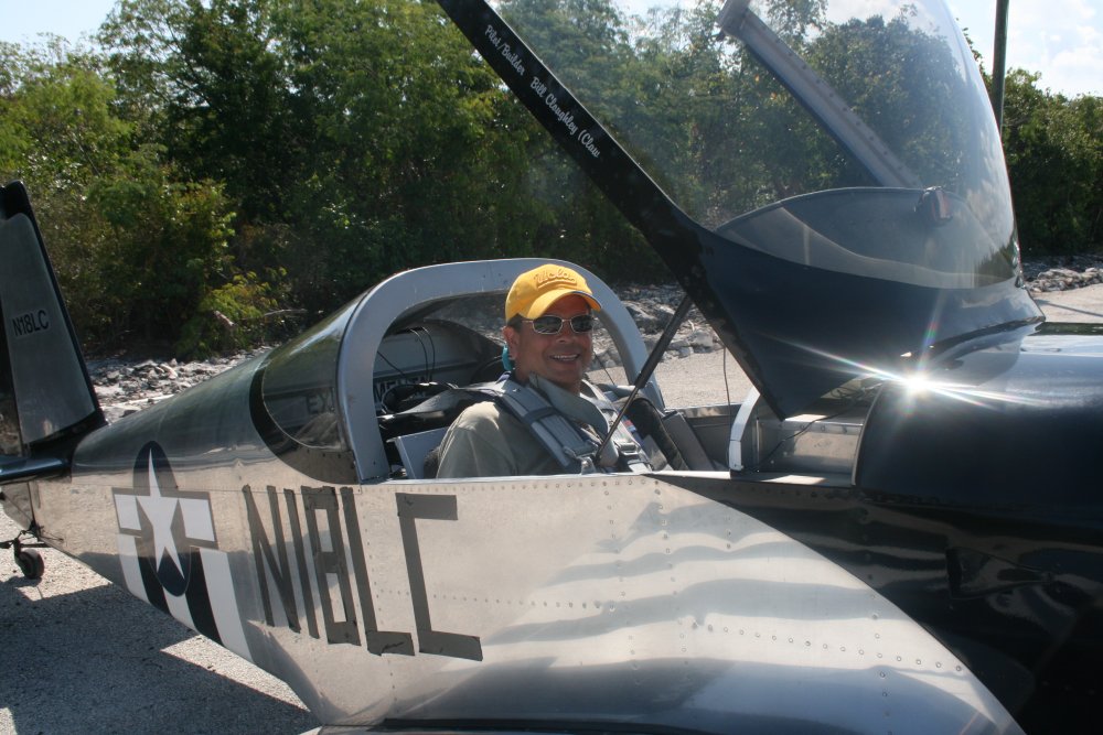
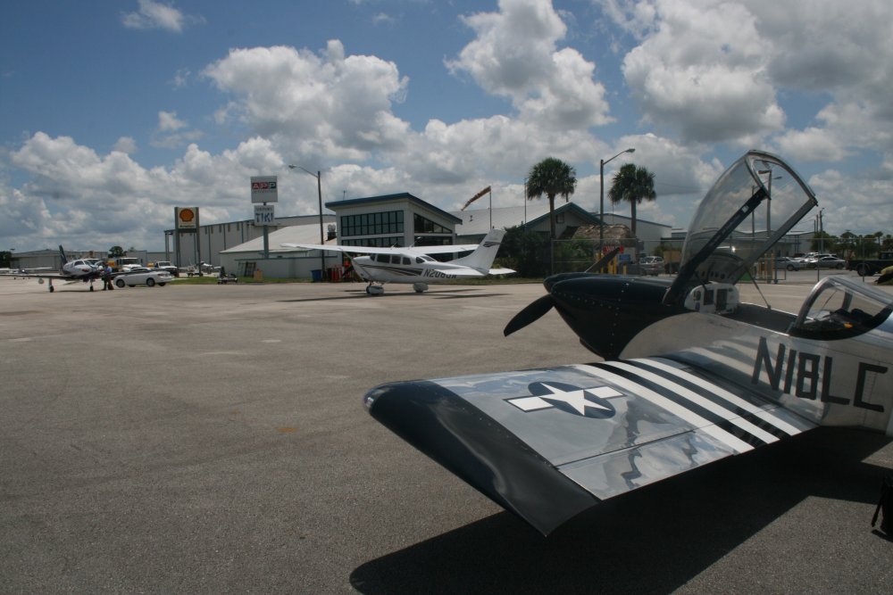
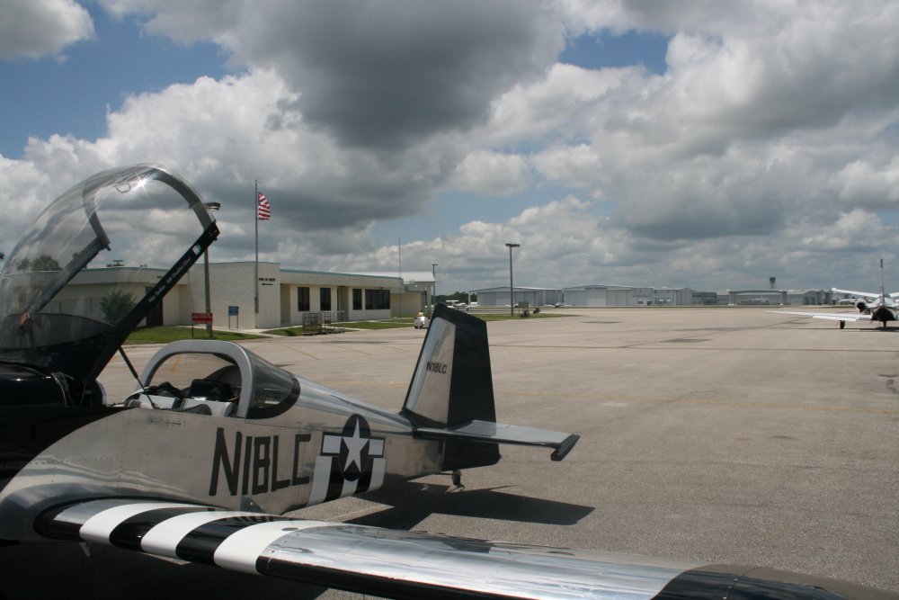
Jack ready to go flying. |
|
 |
|
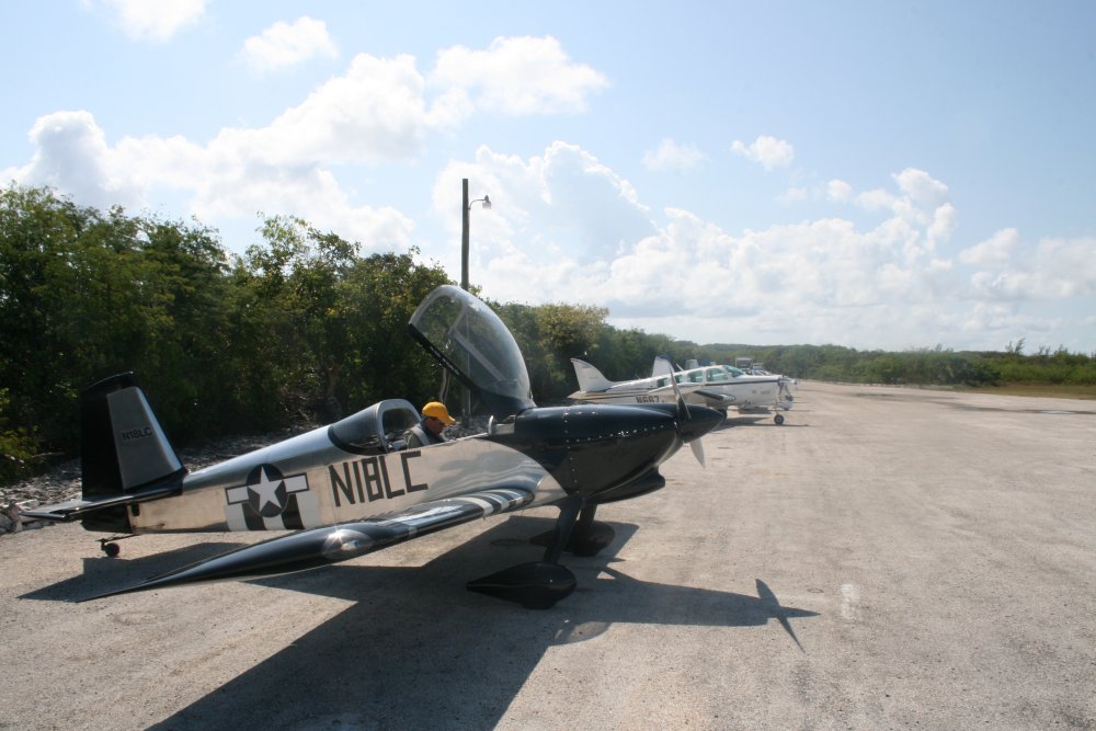
| This Burt Rutan
designed Starfire taxiis for takeoff. There are not that many of
them so I was surprised to see one down here. |
|
 |
|
| The RV-10s took
off just before us. Three
of them flew as a formation. We could hear each other
talking with Nassau Approach just ahead of us on the way to Ft.
Pierce. |
|
 |
|
|
Departing Stella Maris. |
|
 |
|
| We climbed to 8,500 feet altitude
for the transit. The Exuma Cays can be seen to the west. |
|
 |
|
| More Excuma Cays
ahead. |
|
 |
|
| A good shot of the
Exumas stretching to the southeast. |
|
 |
|
|
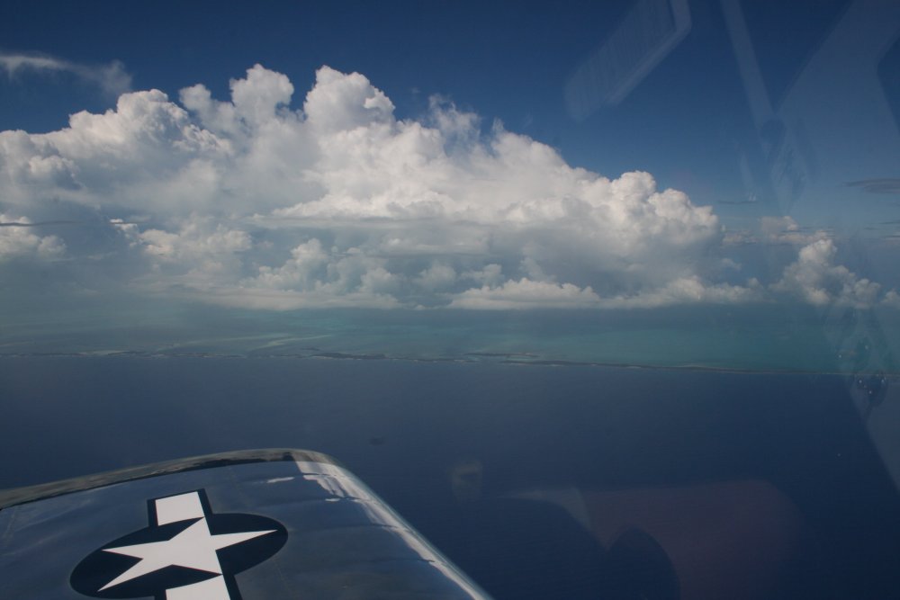
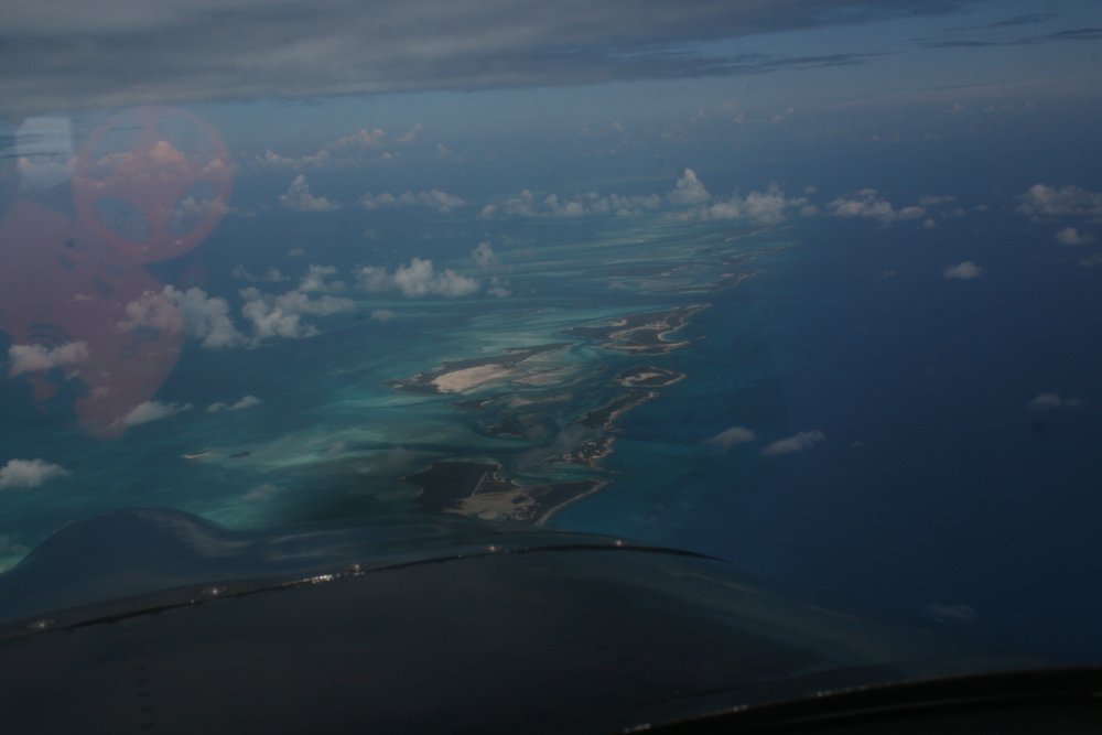
The Exumas also stretching to the
northwest.
To get where I wanted to go, I had to
go through Nassau airspace. So I called them up and asked
for a transition. Basically they put me under flight following control. Once I
left their airspace, they asked me if I
wanted to continue Flight Following with Miami Center. I said sure, so I
stayed with flight following almost all the way to Ft. Pierce.
They gave me a squawk code to get through the ADIZ. |
|
 |
|
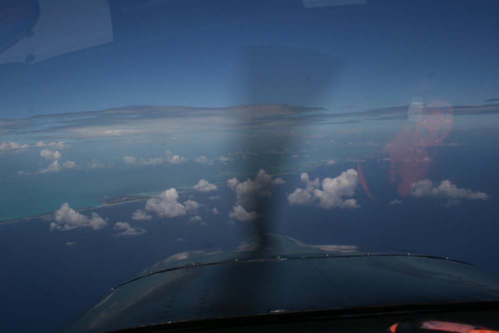
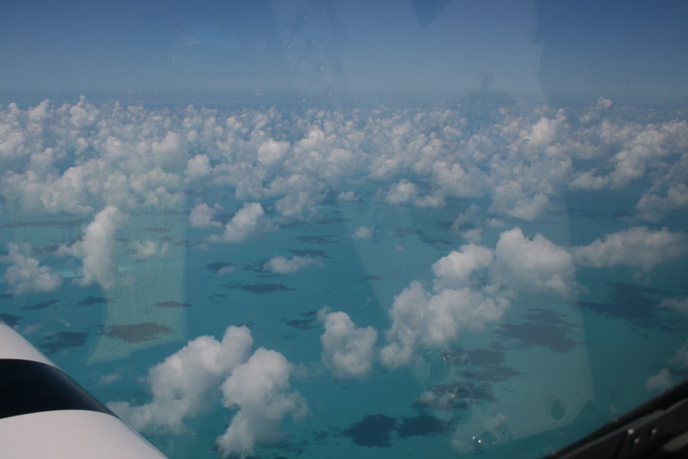
| Next island to
cross was big Andros Island. We crossed the northern tip. |
|
 |
|
|
Getting close to Andros
Island. |
|
 |
|
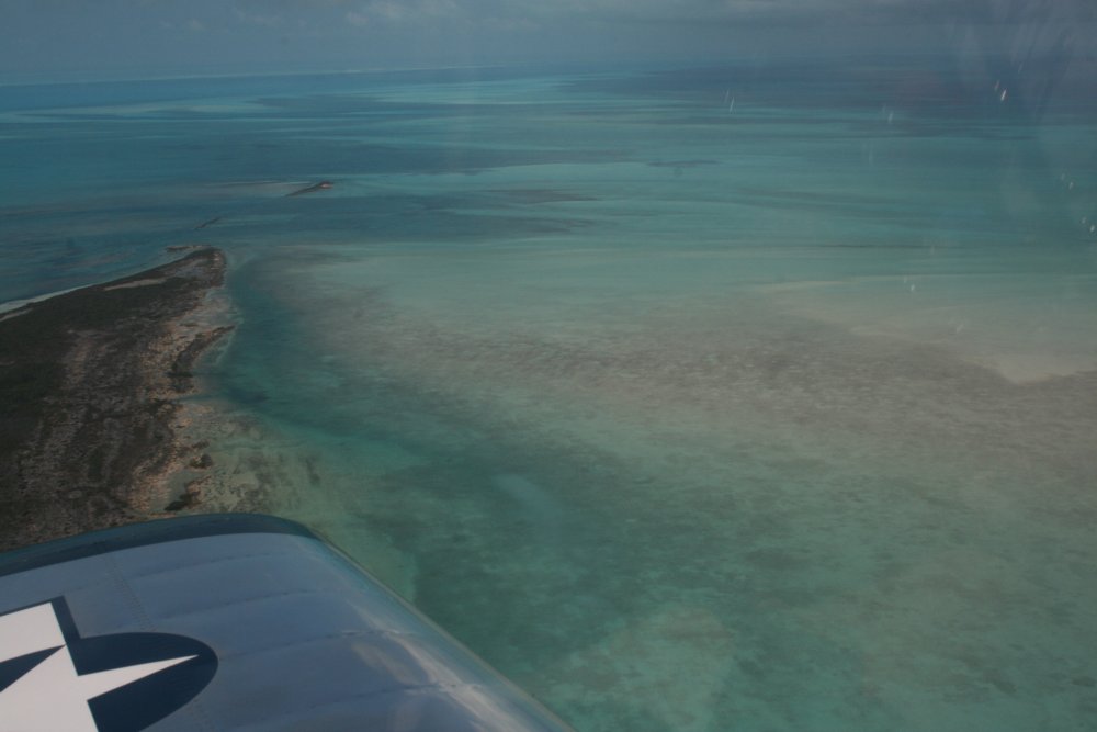
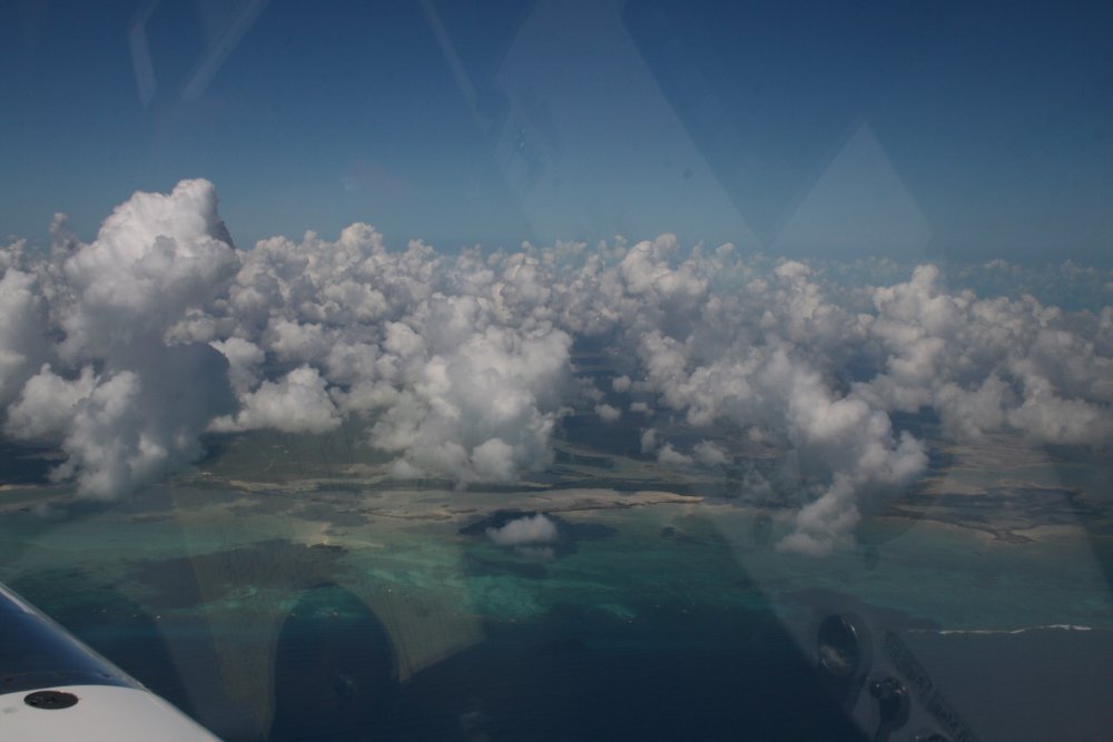
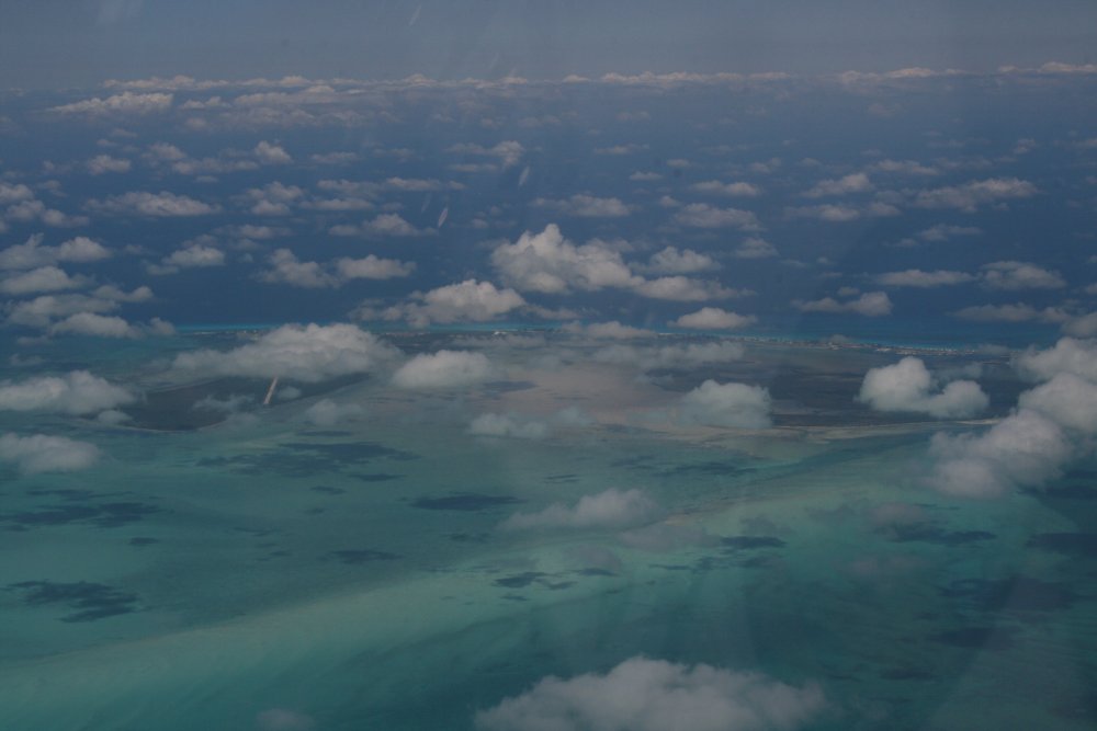
| The water on the west
side of Andros Island was an incredible aqua blue. The water
and puffy clouds were an unbelievably beautiful sight. |
|
 |
|
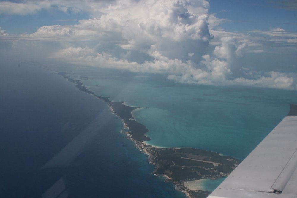
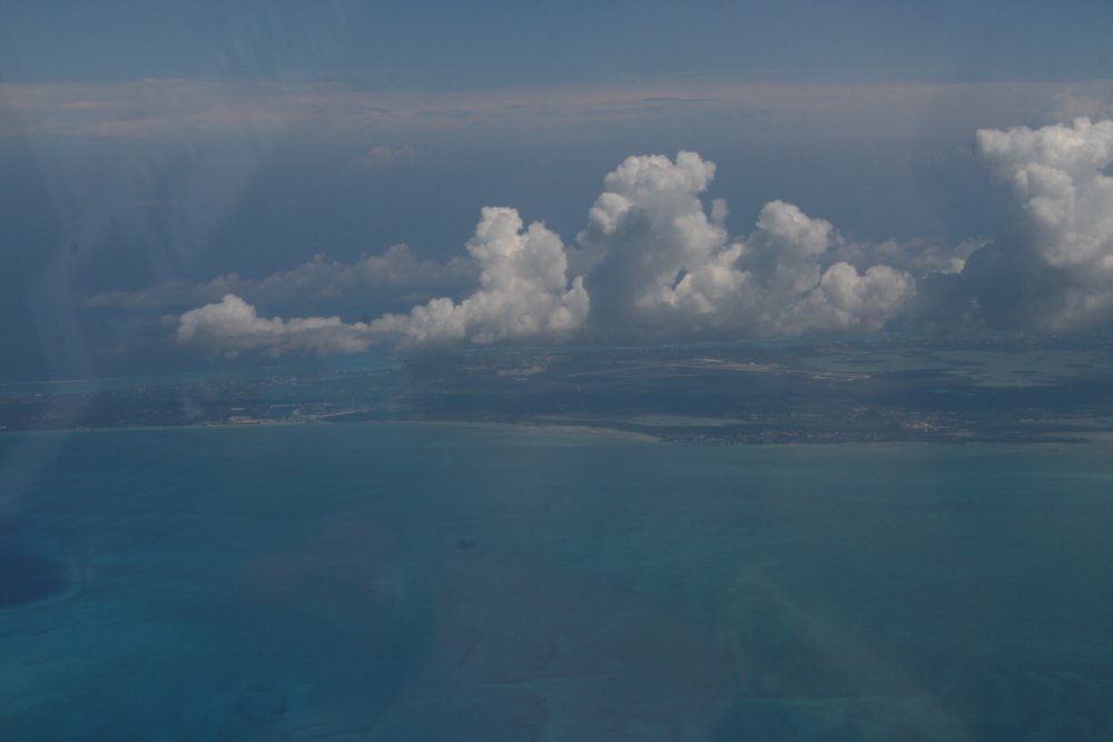
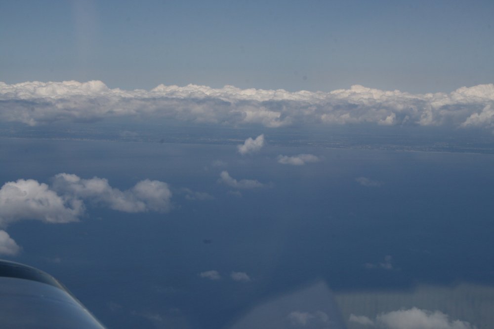
| Although we did not
land at Bimini, we did pass to the east of it on our way to Ft.
Pierce. The South Bimini runway can just be seen at center
left. Bimini is only 70 miles from the Florida coast. |
|
 |
|
| Land
ho! Florida in sight. By this time, I was used to flying over water
and didn't think much about it. |
|
 |
|
|
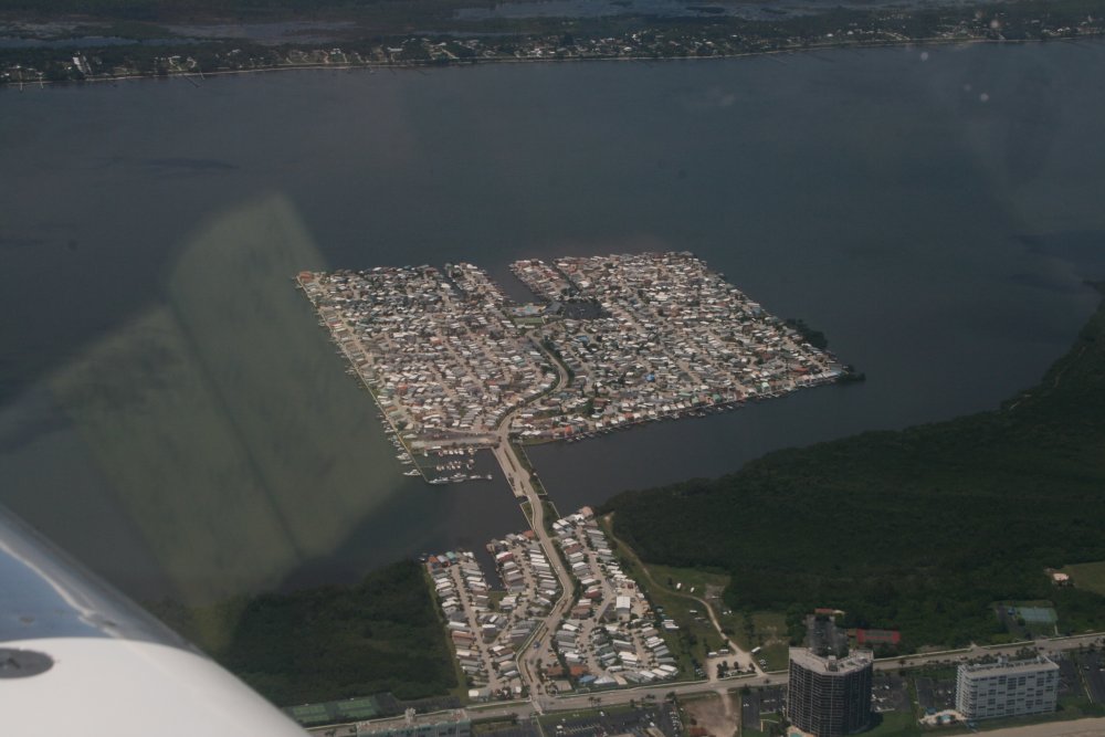
Just south of Ft. Pierce, I thought
this trailer park was a little unusual, sitting out in the water. |
|
 |
|
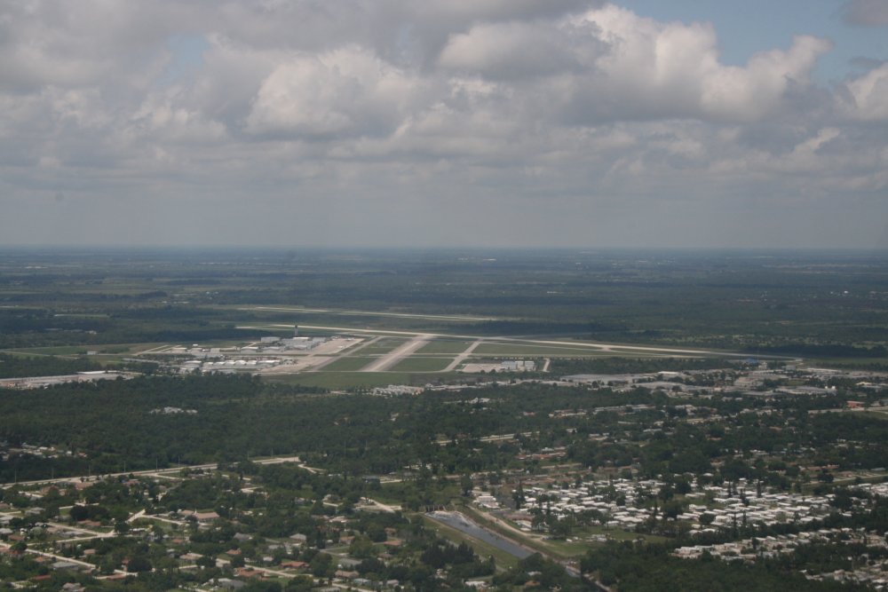
| Approaching Ft.
Pierce. |
|
 |
|
|
We landed and taxiied to the area in
front of the Customs building. The three RV-10s --
the fourth had gone to Ft. Lauderdale -- were already there and
unloading. While we were unloading, the CBP agent came outside and looked
at the airplanes. I bet he was just checking for the CBP
sticker you are supposed to have, and maybe the 12" N-numbers.
Anyways, I guess he was satisifed because he didn't say anything.
We were about 20 minutes late from the estimated arrival time
I had given them over the phone but again he didn't say anything about
it. We took our stuff inside, filled out a GenDec form, then went
through customs. There were no problems and we were through in less
than 10 minutes. |
|
 |
|
| I got back
in the plane and taxiied it the short distance to the FBO. We
turned the life raft in, checked weather, put fuel in the plane and taxiied for
takeoff. |
|
 |
|
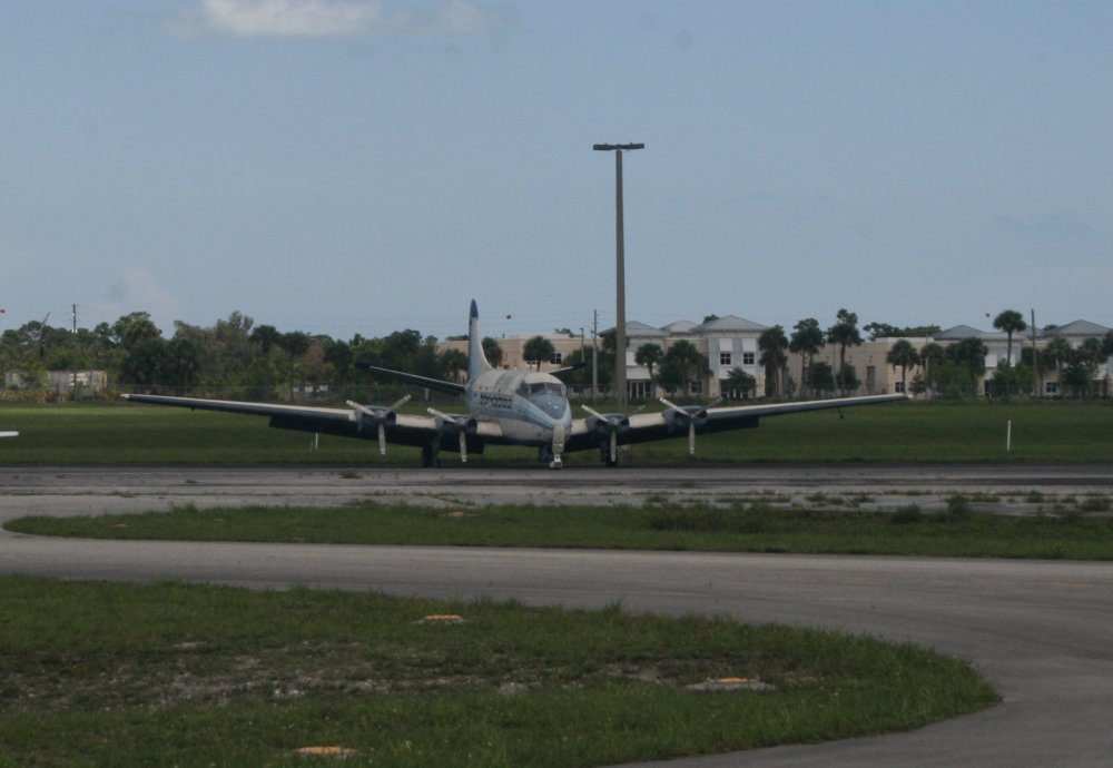
| A big four engine
job sitting on the side of a taxi way. |
|
 |
|
|
We took off and angled northwest for central Florida. There was
weather in northern Florida but it looked like it was centered over
Jacksonville. I was hoping we could bypass it to the west and make
it to South Carolina.
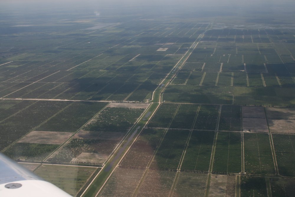
Here we are passing over orange groves. |
|
 |
|
|
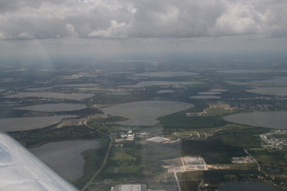
Approaching Winterhaven airport.
Lots of water around here. The skies are starting to cloud up. |
|
 |
|
|
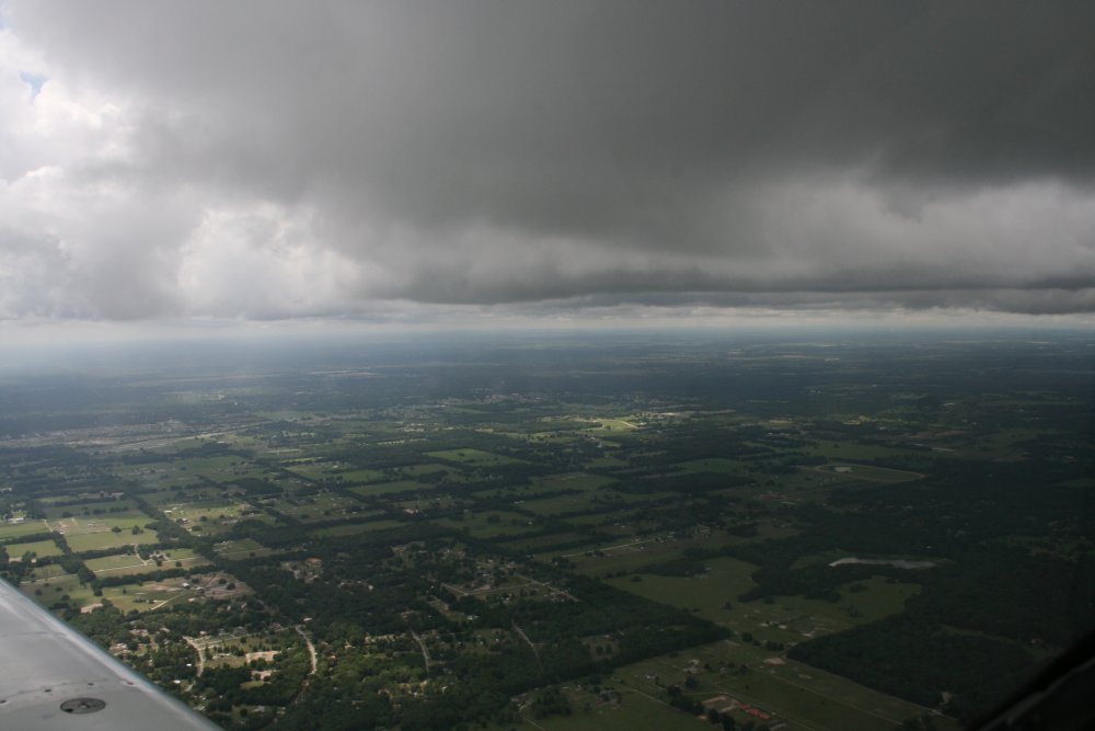
The blue skies are gone and now we
have solid overcast above us. And then we encountered a wall
of heavy rain. We could not get through it so we travelled parallel
to it, heading west, hoping it would end and we could get around it. |
|
 |
|
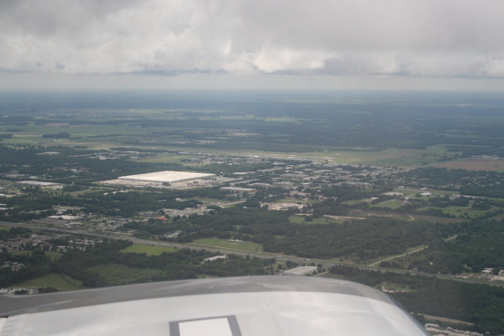
| Passing Ocala
Airport. I've been here a few times and know they have an on-field
restaurant. They now have a Control Tower which they didn't use to
ahve. |
|
 |
|
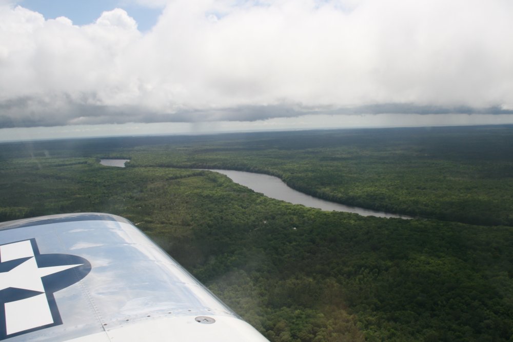
| The rain wall to
our north just did not end. We went all the way to the Gulf but
there was no getting around it. We were close to Cross City Airport,
and from the AOPA database on my 496 GPS I could see they had a courtesy
car, so we decided to land there and stay overnight. Here we are
flying over the Swanee River near Cross City. |
|
 |
|
|
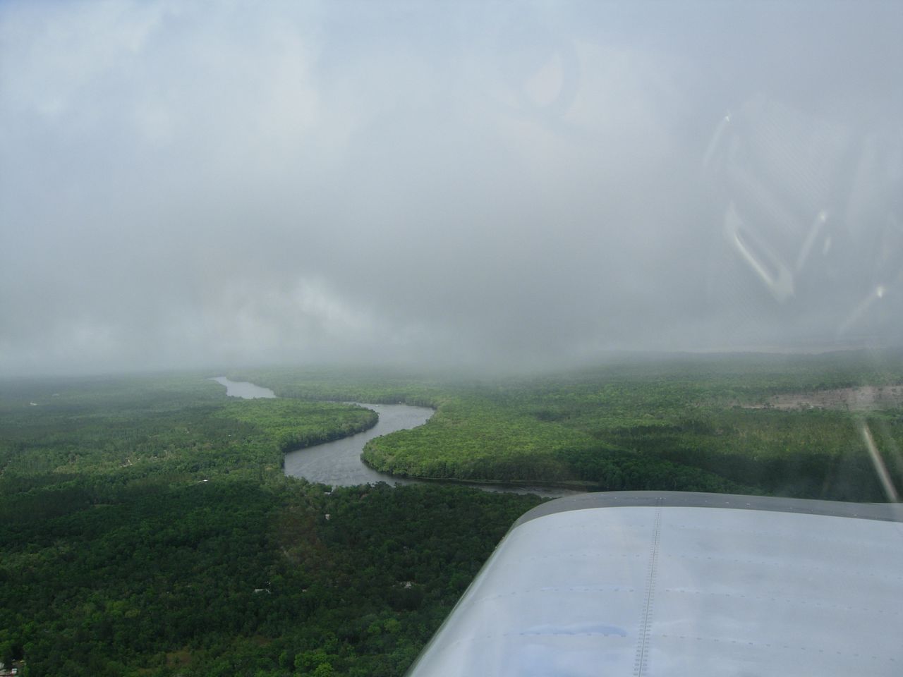
Then we ran into this. |
|
 |
|
|
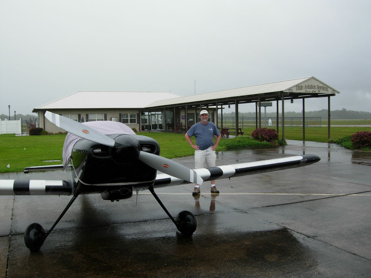
Safe on deck at Cross City Airport (KCTY) in
Florida. Even here there was light rain. |
|
 |
|
| |
|
|
|
|
|
|
|