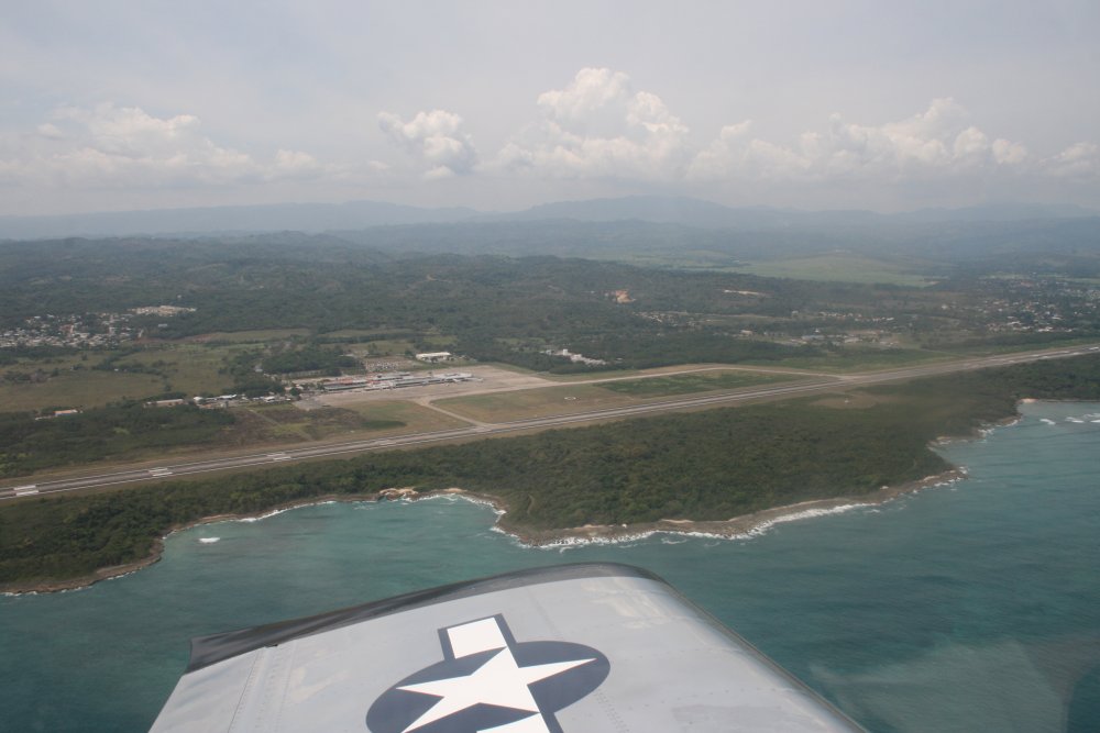
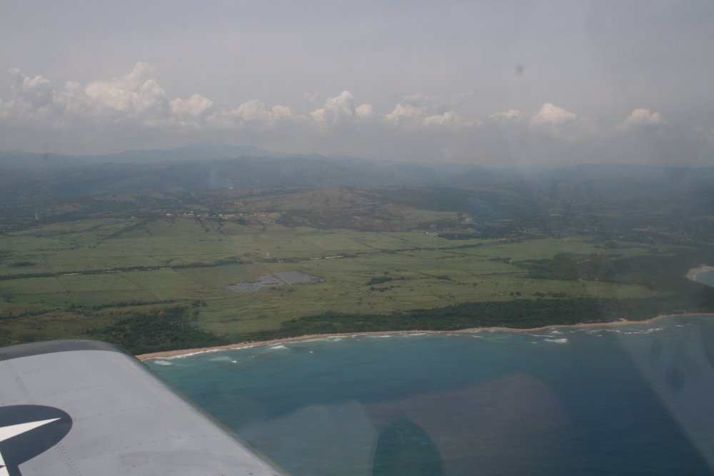
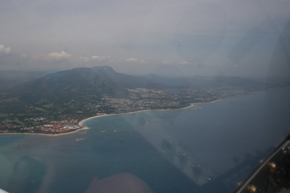
Puerto Plata, DR to Great Inagua to Stella Maris, Long Island
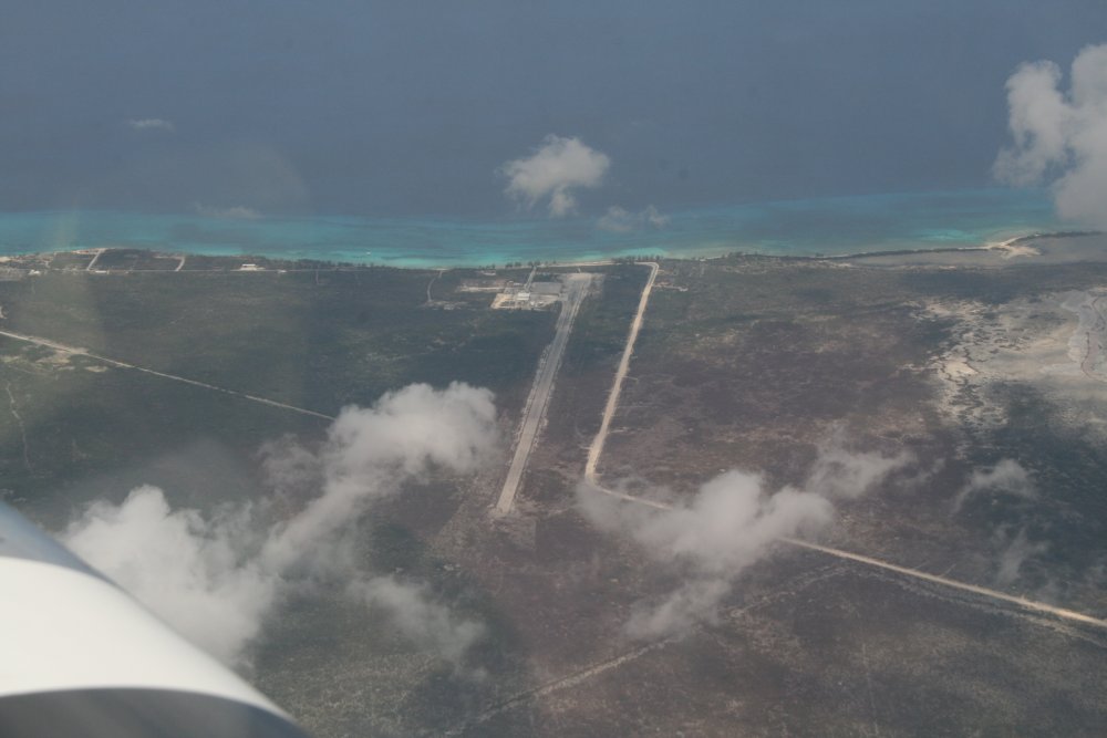
A big sugarcane field just to the
west of the airport.
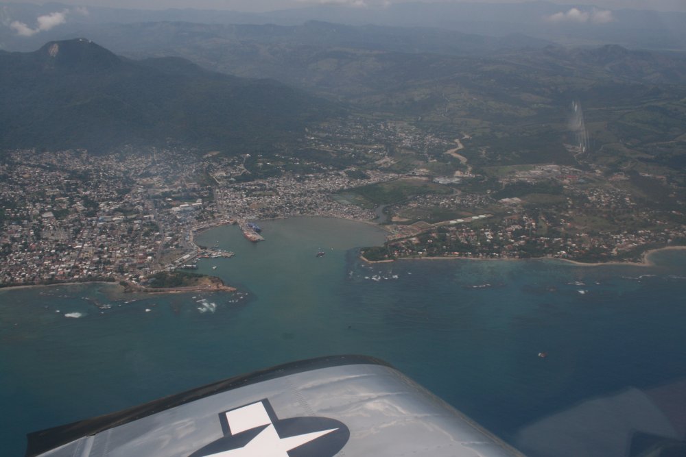
A good shot of the harbor.
You can see the aerial tramway station at the top of the
mountain.
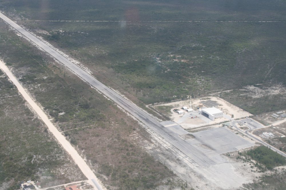
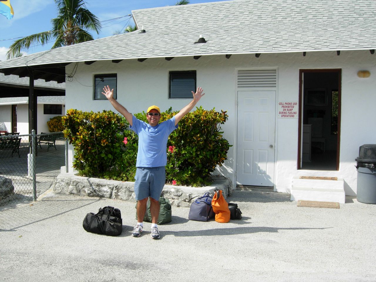
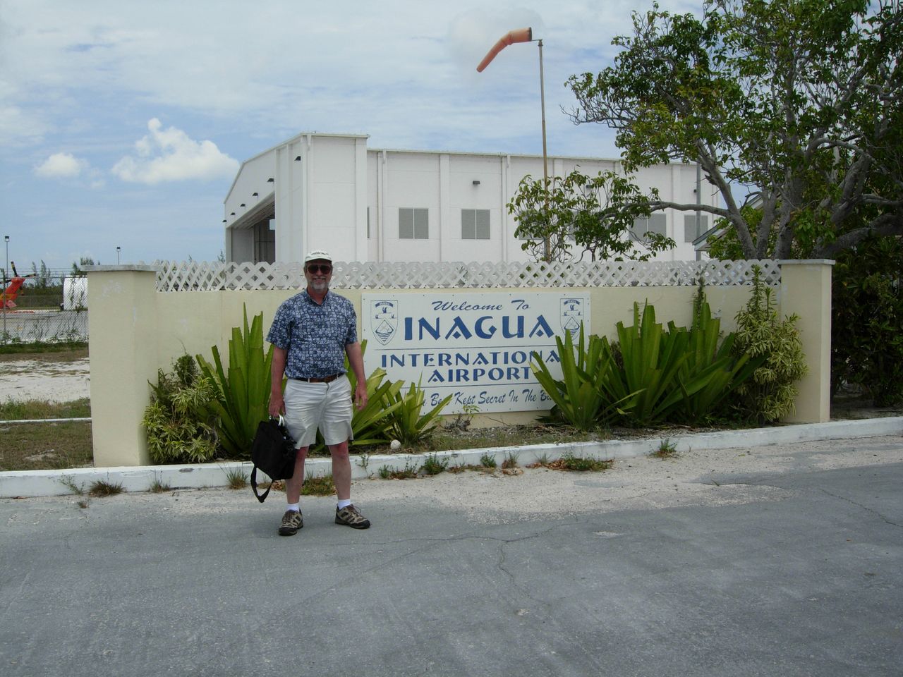
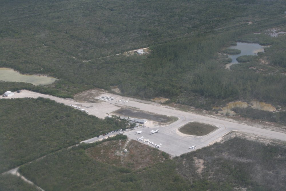
Great Inagua has a customs and
immigration office -- in that building underneath the
flag -- so we went ahead and got checked in with them. I
wasn't sure if this airport had fuel or not, but it turns out they do, so
I had the RV topped off. The "fuel truck" was a fuel container on a
cart towed by a pickup truck. But fuel is fuel, so I wasn't
complaining. I started noticing weather approaching from the south
so I started looking around for some tiedown rings.
About that time Jack found a good
real-time radar picture on his iPad. He said "look at this".
The weather that had blocked us earlier had moved out, so we now had a
clear shot to Stella Maris. However, weather was moving in on
us from the south and we had to get going right now before it hit.
We leaped in the plane and bugged out just ahead of the approaching
weather.
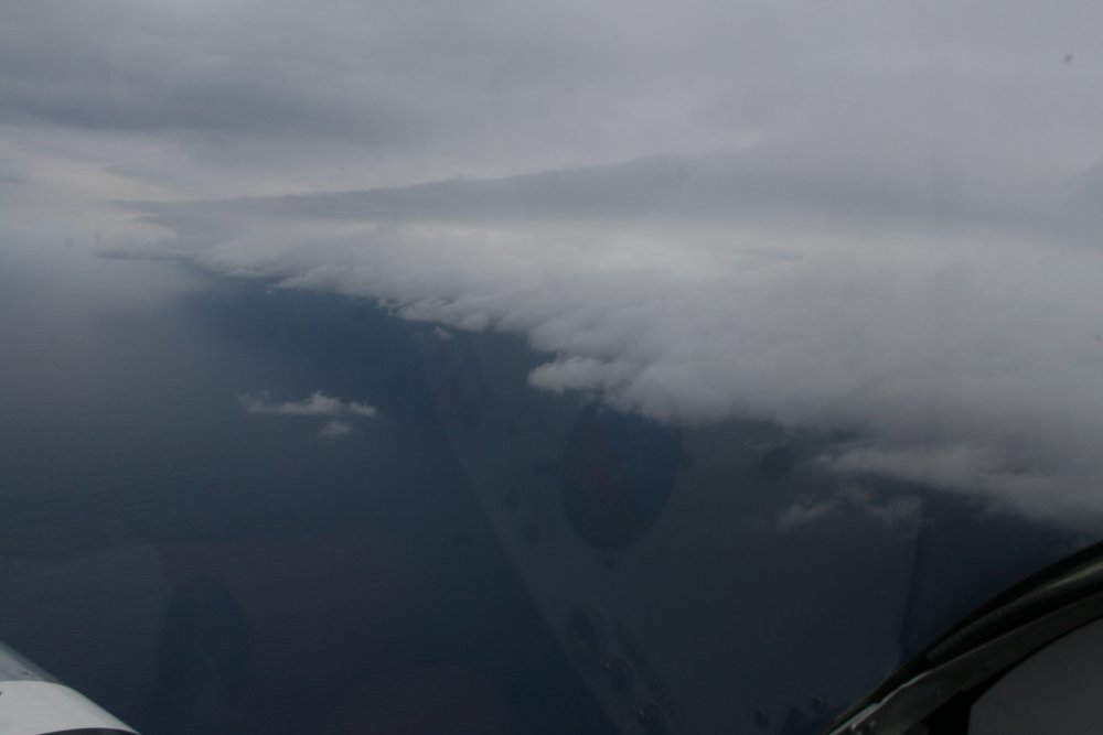
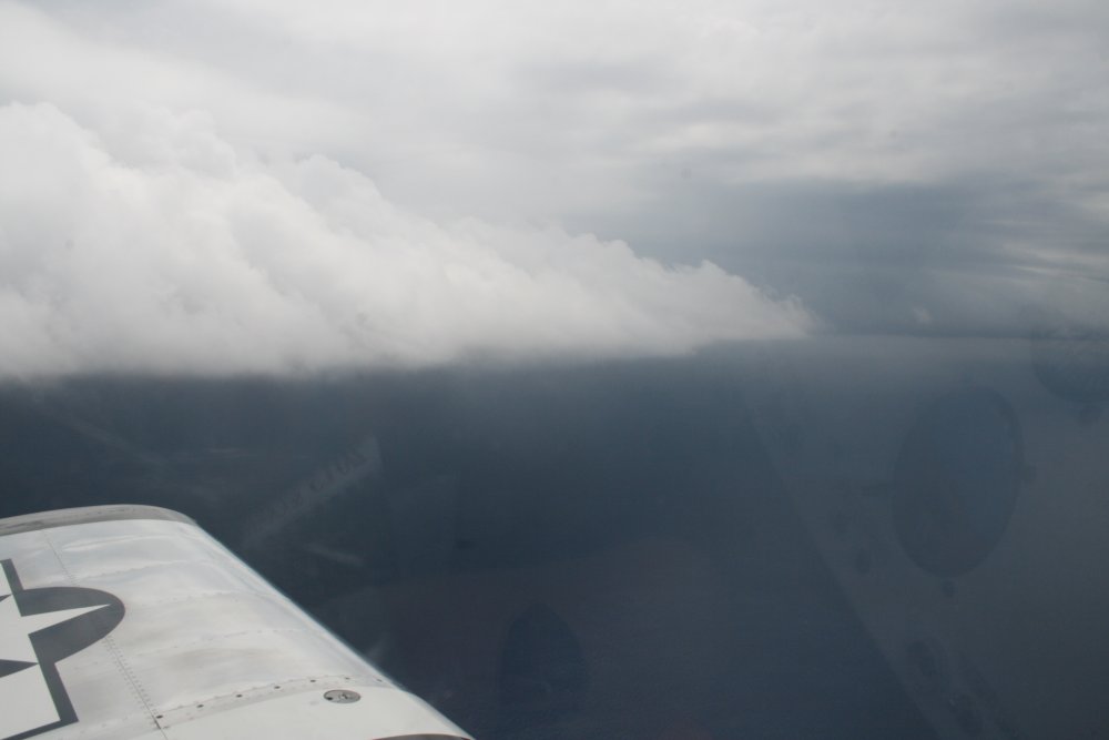
Looking back at the weather we just avoided.
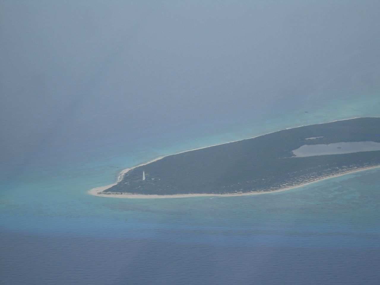
It wasn't long before we
saw Crooked Island off to the northeast with this lighthouse at the tip.
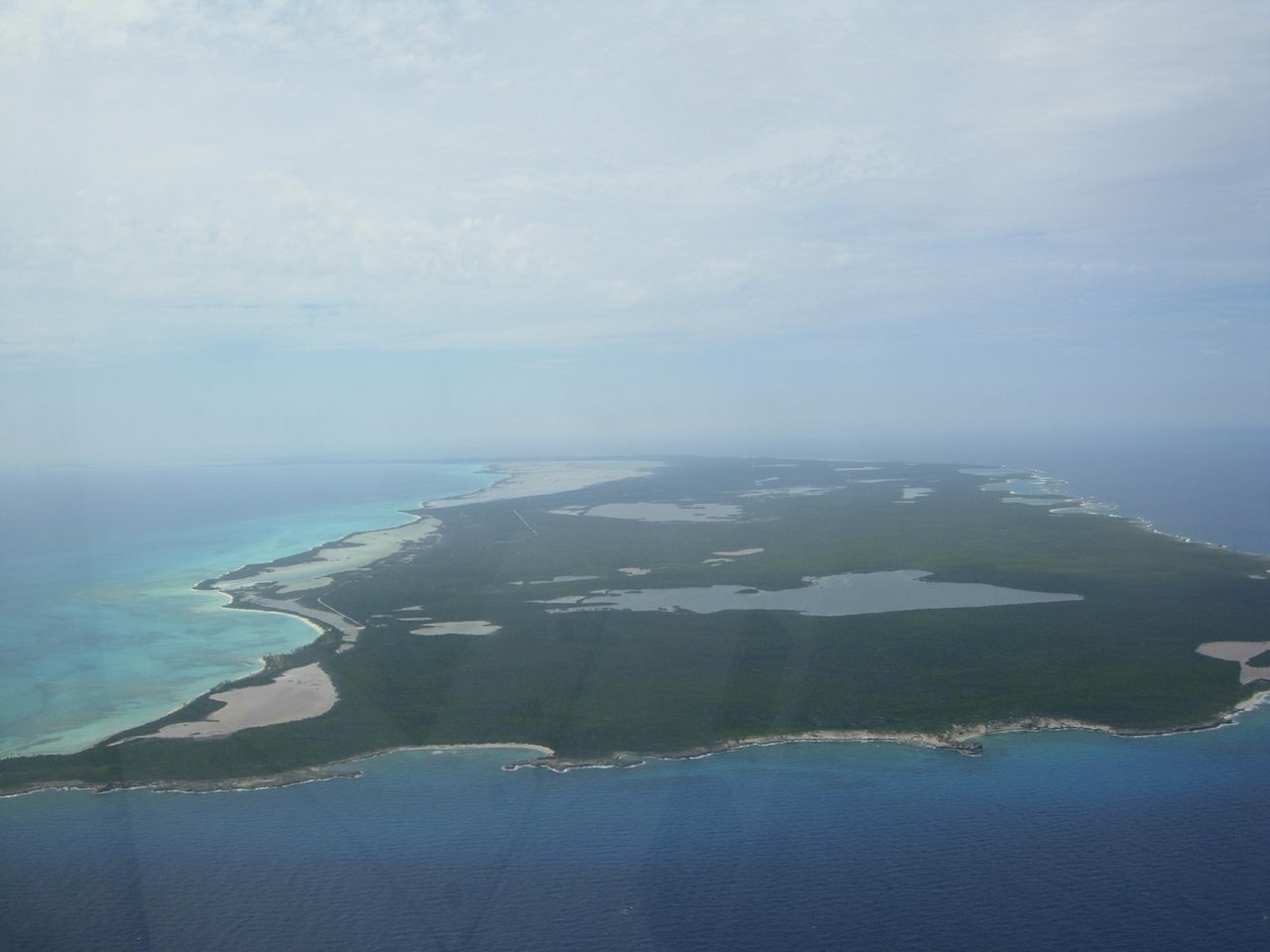
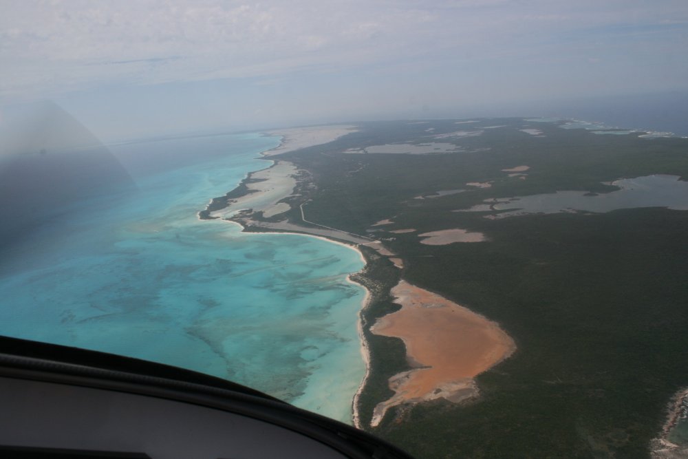
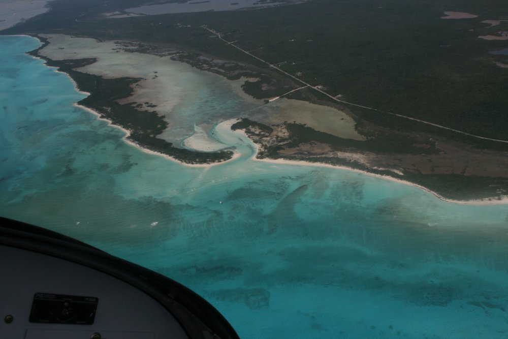
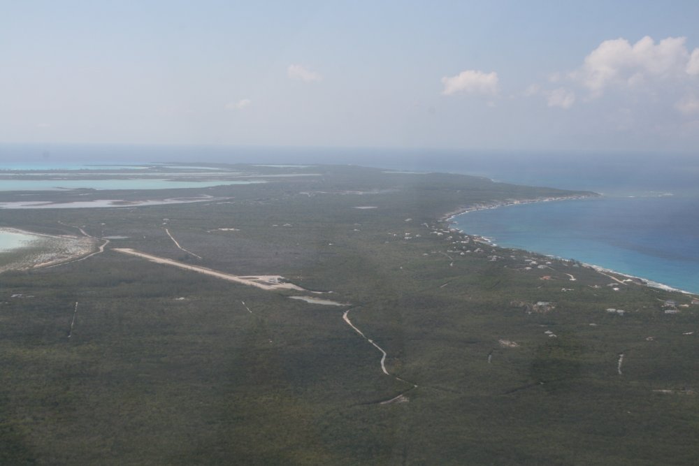
Long Island, dead ahead.
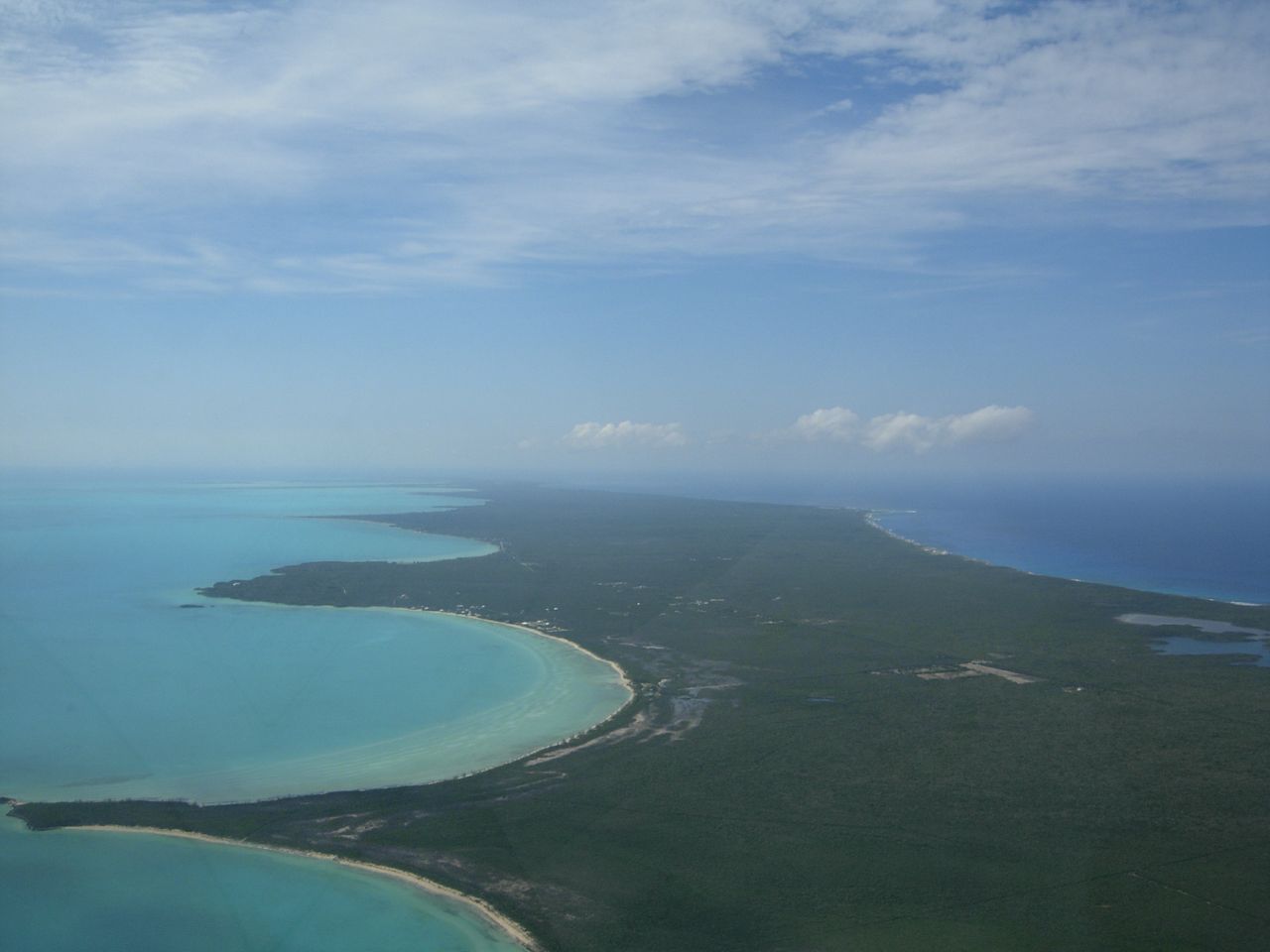
Flying northwest, we
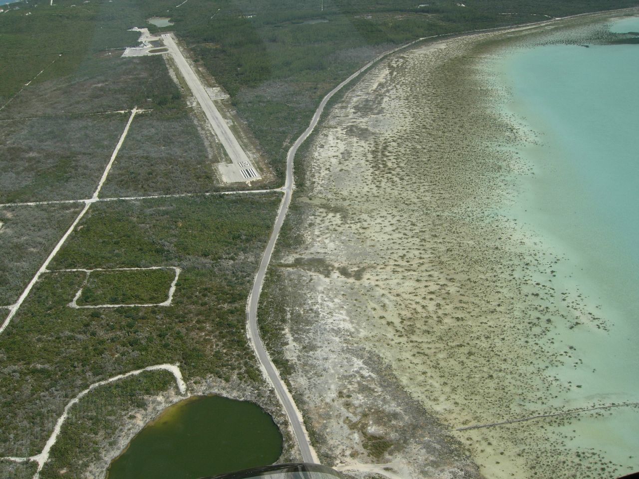
flew the length of Long Island to the northwest tip of Stella Maris.
Here were are flying up Long
Island.

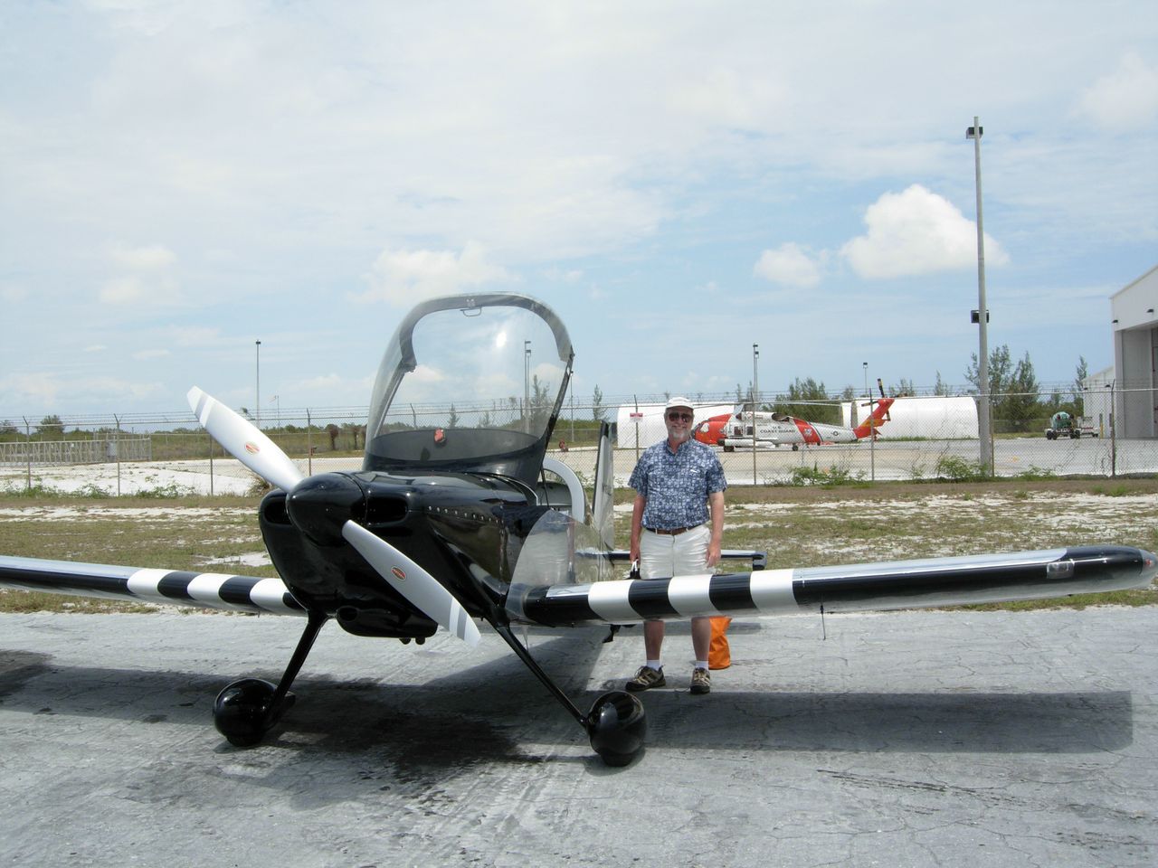
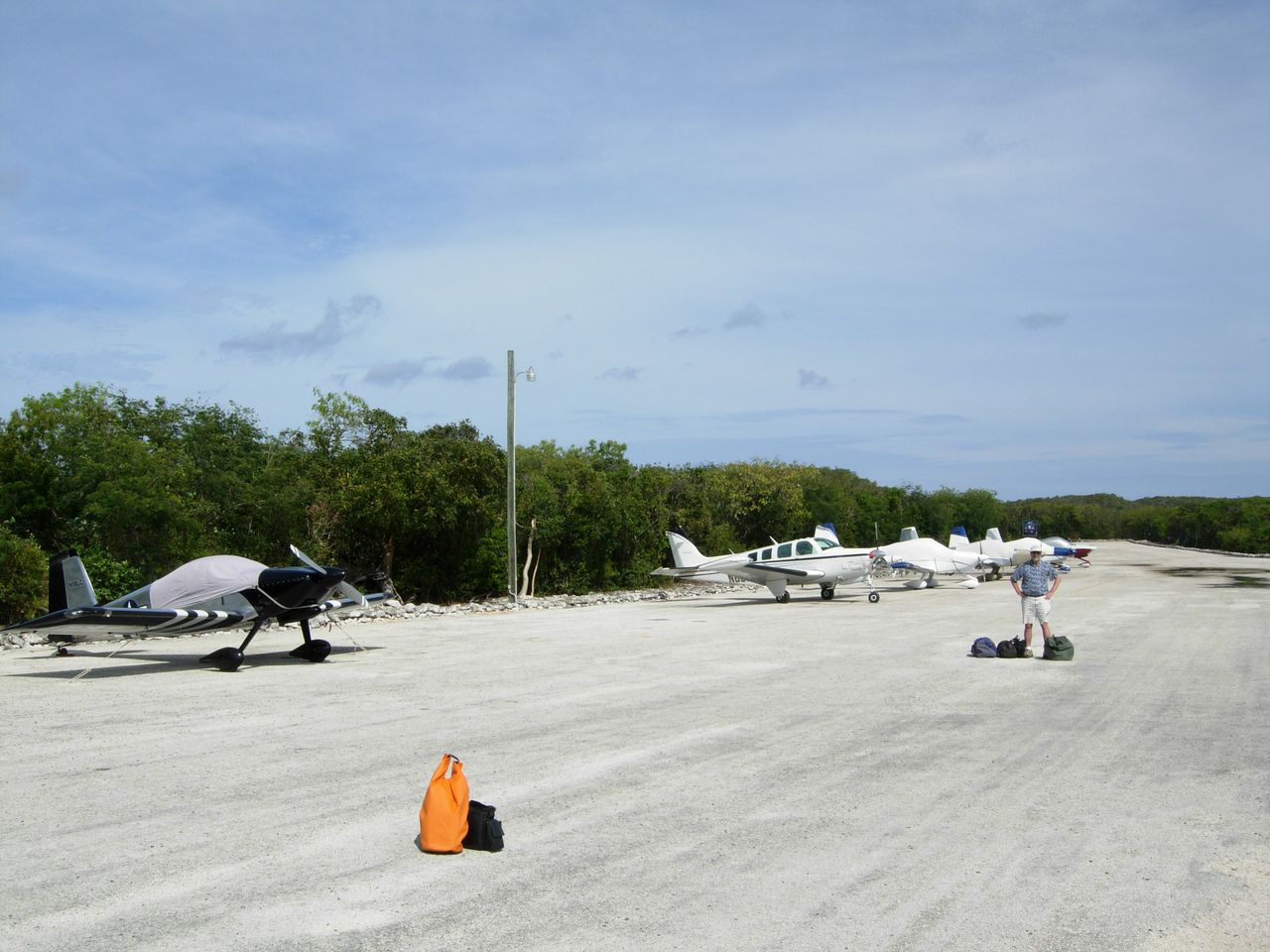
The same four RV-10s we saw at Staniel Cay are here. There's a good look at our orange waterproof bag.
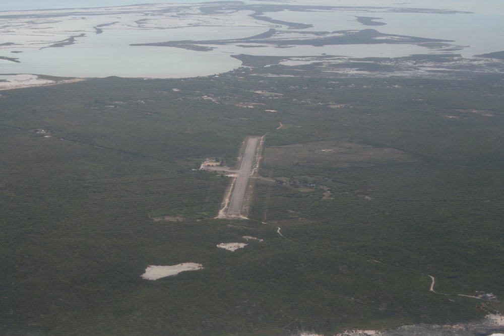
We got our Bahama Interisland Pass stamped and caught a quick taxi to the resort.