April 6, 2013 - Waycross, GA
to Ft. Pierce, FL to Marsh Harbor, Great Abaco, Bahamas |
| Waycross is located
on the northern
side of the great Okefenokee
Swamp
. I've flown around or over it a couple of times but now
seemed like a good time to really check it out from the air.
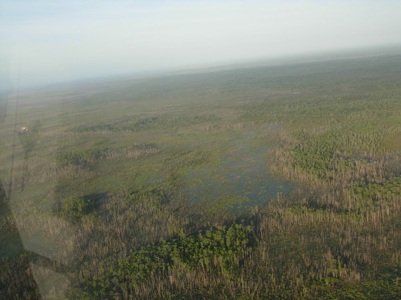
So we took off from Waycross and headed southeast. There
wasn't a whole lot to see. It looked pretty much like a
forest in a flooded area. We did not see any alligators. |
|
 |
|
|
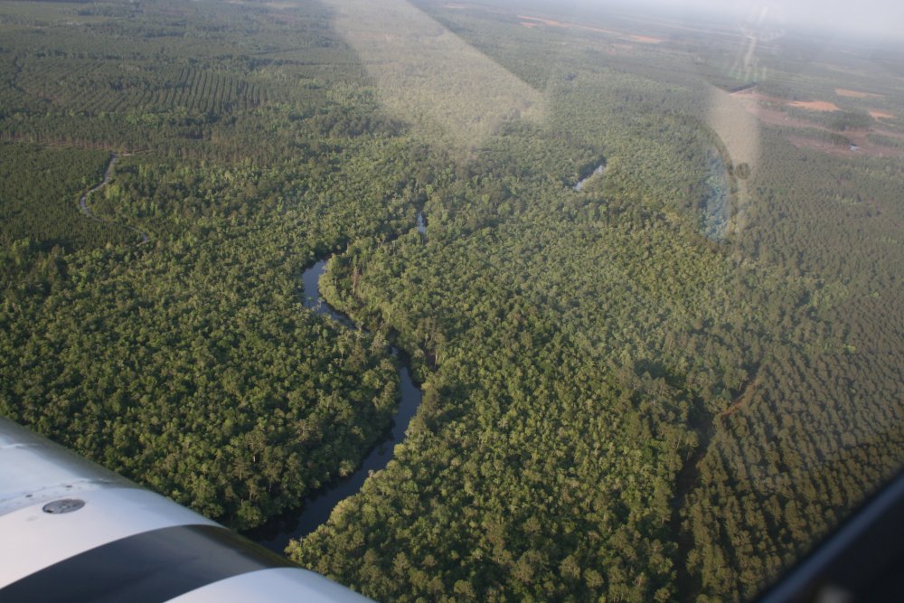
After awhile we ran into the Swanee River. We think. |
|
 |
|
|
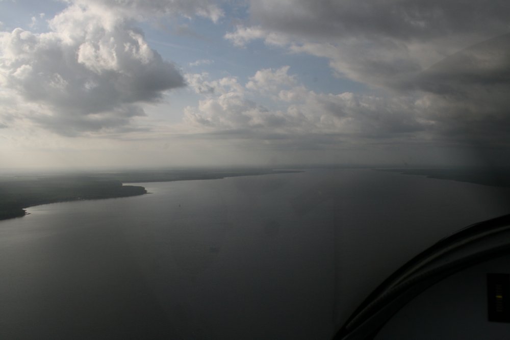
After awhile, we had
seen enough of the Okefenoke Swamp, so we climbed
and headed southeast. Soon we could see the Jacksonville skyline to the north,
and Cecil Field, which used to be a big Navy F-18 base. Both Jack and I
lived in Orange Park at various times. We came to the St.
John's River, longest river in Florida, and followed it south for awhile at 500 feet. |
|
 |
|
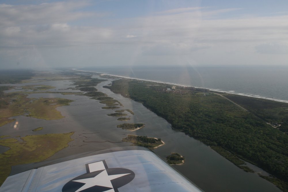
| Leaving the river,
we cut over to the Atlantic coast. |
|
 |
|
|
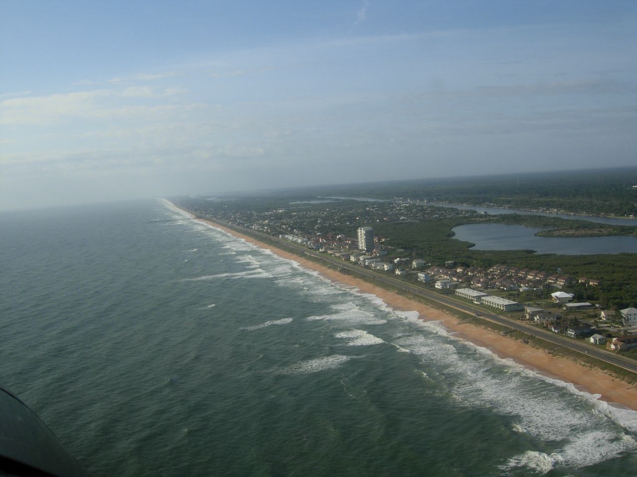
Cruising down
the Flordia east coast. |
|
 |
|
|
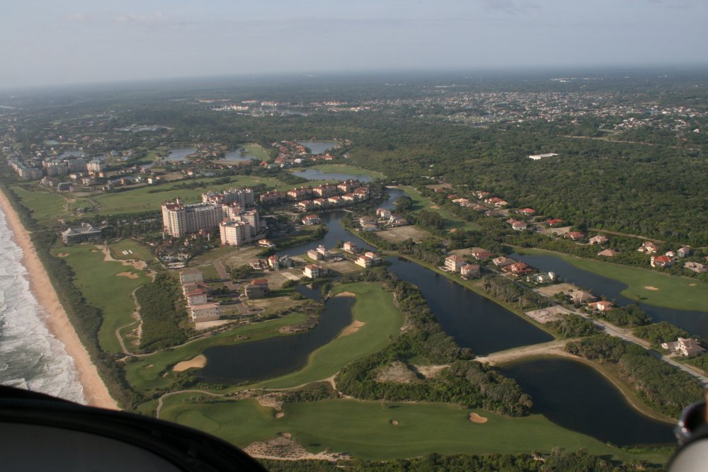
Now that's a nice golf
course! |
|
 |
|
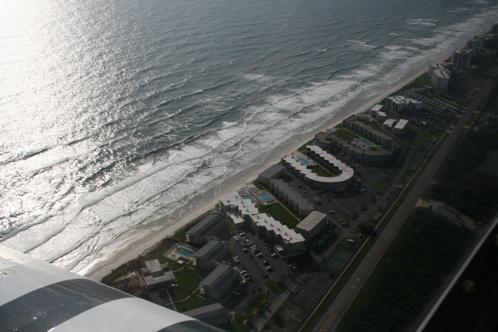
| Not sure why I took
this picture but it came out good with the morning sun reflecting on the
ocean surf. |
|
 |
|
|
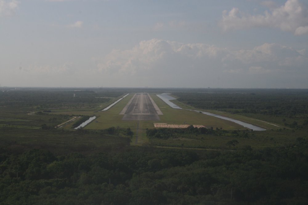
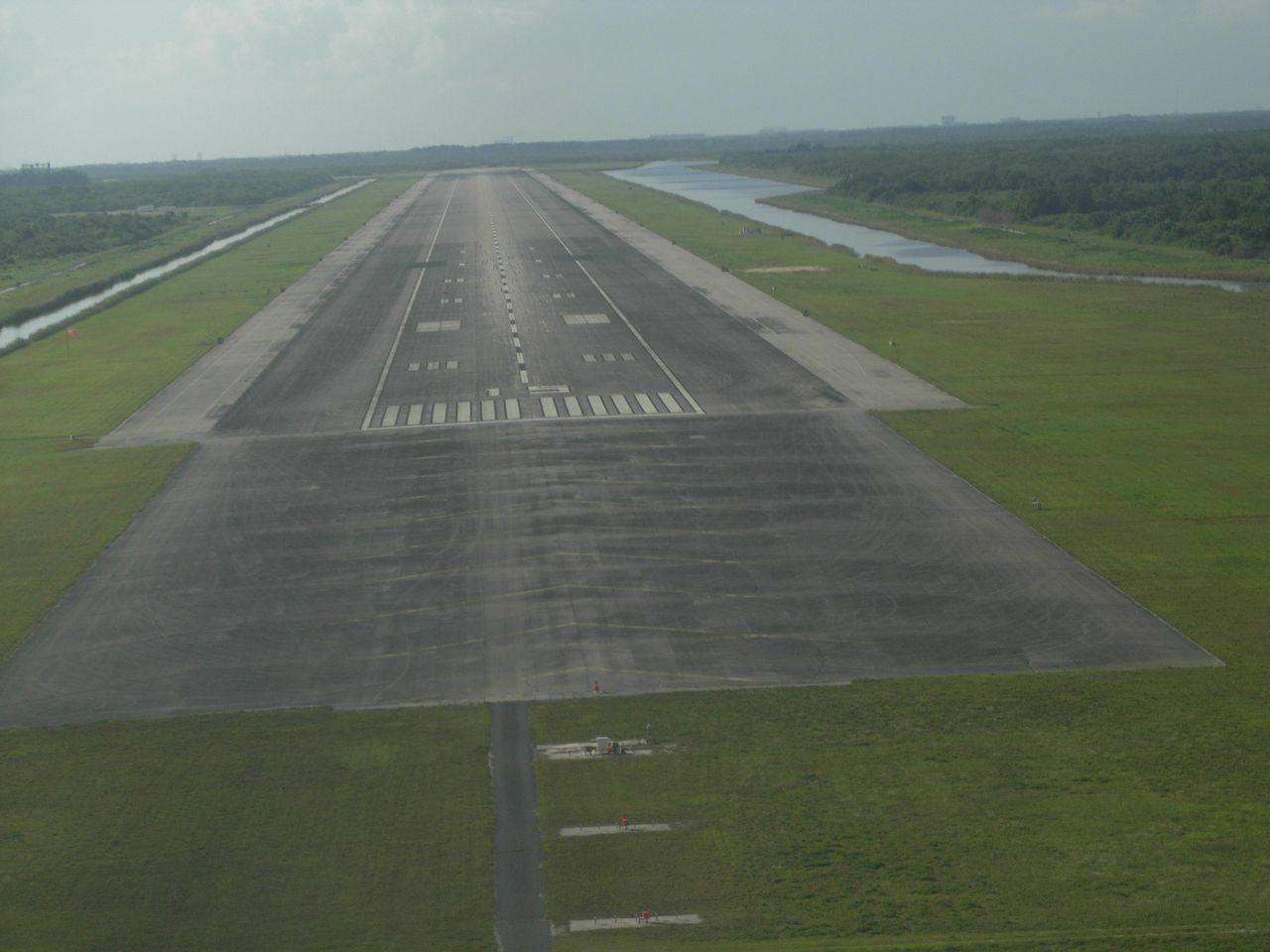
One of the long-standing items on my flying "bucket list" has
been to make a low pass down the NASA shuttle landing
facility (KTTS). Yes, this is the runway the Space
Shuttles landed on. It's a monster: 15,000 feet
long. Supposedly it's 300 feet wide -- the length of a
football field -- but it doesn't look like that to me, although it is
wide. It has a control tower.
They allow low-passes down the runway although you are not allowed
to land or touch-and-go. The control tower is not open on
weekends so you use the tower frequency as a Unicom. Another RV was
about to begin their pass from the south when we arrived in the vicinity,
so I just orbited to the north until the other RV was clear. There
is restricted airspace to the east, but as long as you stay over the
runway you are clear. The other RV called clear and I saw him
climbing out to the northwest so I headed in. |
|
 |
|
|
Yeah, I think I could get the RV
down on this runway OK. |
|
 |
|
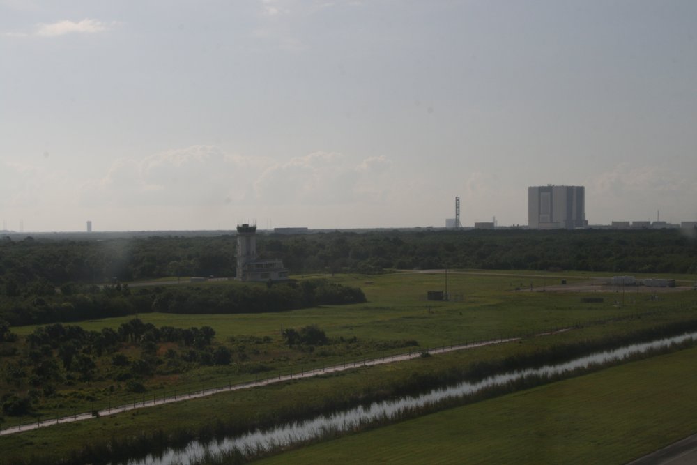
| There's the control
tower to the left with the massive Vehicle Assembly Building (VAB) to the
right. |
|
 |
|
|
After leaving the runway, I looked
down and saw the big Kennedy Space Center Visitor Complex. I visited
here back in the 90's. See the big Saturn Five rocket laying
on its side at the right of the picture? It's as big as a World War
II Destroyer. |
|
 |
|
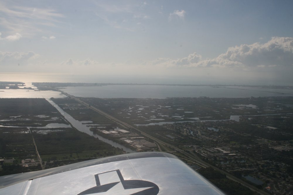
| Cocoa Beach, where
my sister used to live, is off to the left. |
|
 |
|
|
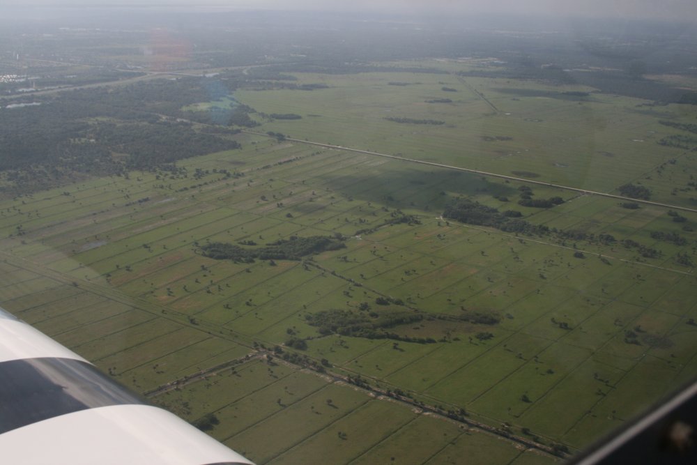
Interesting terrain. |
|
 |
|
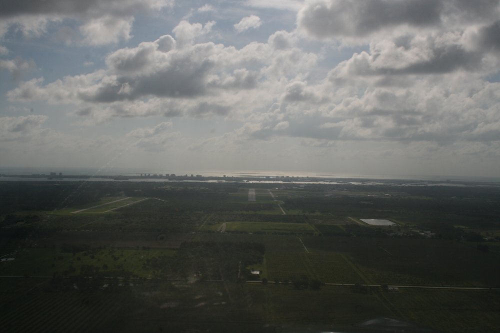
| On long final for
St. Lucie County International Airport (KFPR). Everyone calls it Ft.
Pierce though. It has a control tower so I
was talking with them. I believe it is on the
"sequestration" list. Notice the runway to the left. Although remote, it is
part of the airport and the tower controls it. I think
it is used for planes practicing takeoffs and landings. I had read this
airport is a great jump-off point before heading out over the water
to the Bahamas. |
|
 |
|
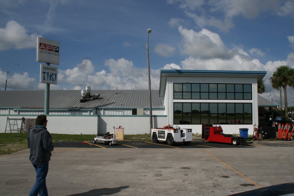
| The FBO at Ft.
Pierce is APP JetCenter. The Customs and Immigration building is
right next door, to the right. The FBO rents
liferafts, so I had called up a few weeks ago and reserved
one. After picking up the liferaft, we had a good breakfast at the "Tiki"
restaurant which is right next to the FBO counter. Despite having a capacity
for four people and a cover, the liferaft package was surprisingly
small: about 1 1/2' by 1' and four inches deep.
You can hold it in your lap. In the FBO building, I took
one last look at the weather, then called up Flight Service and filed my
international flight plan. I had filed my online eAPIS form the
night before. |
|
 |
|
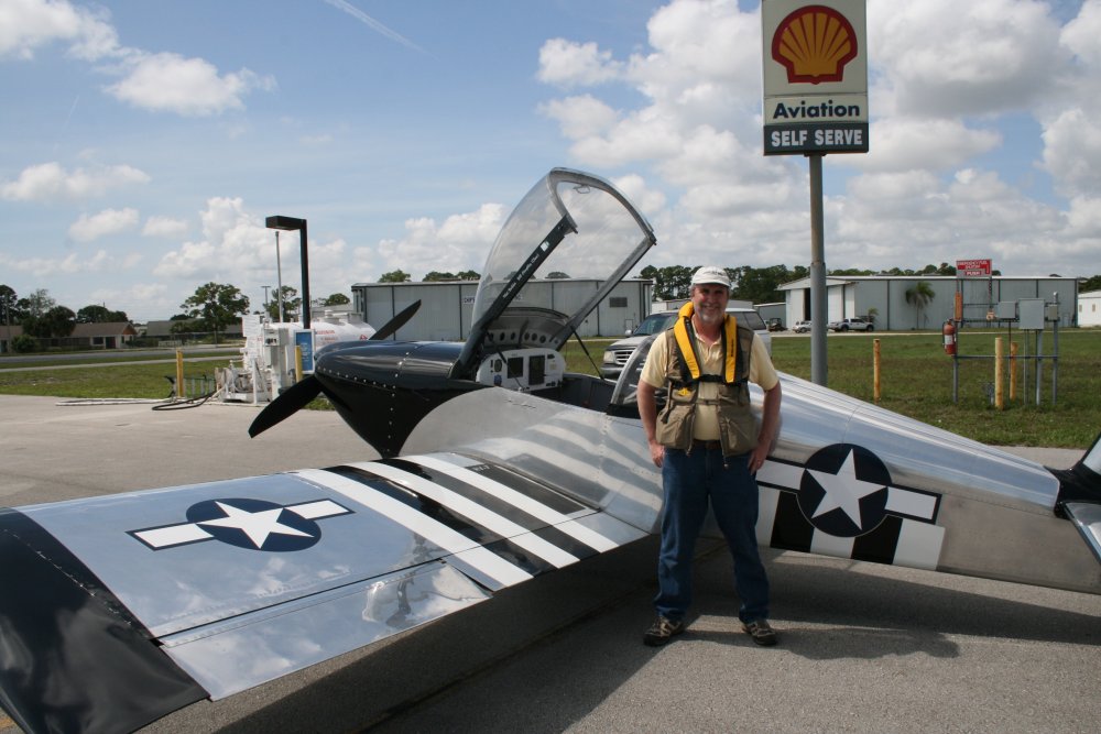
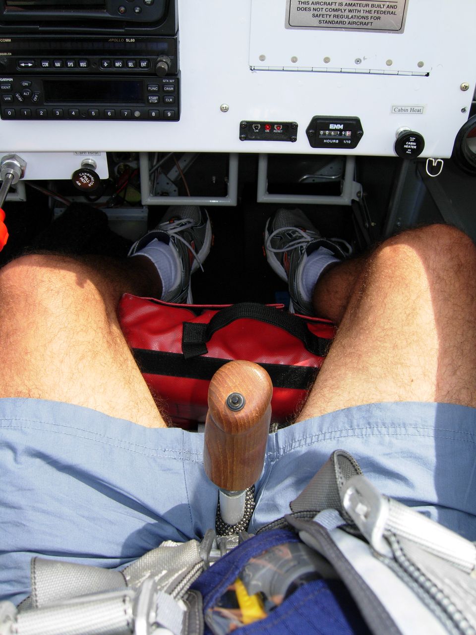
| Plane is
fueled. International flight plan filed. Liftraft
onboard. Lifevests donned.
Aircraft is pre-flighted. All systems are
go. We are ready to fly over the ocean. |
|
 |
|
|
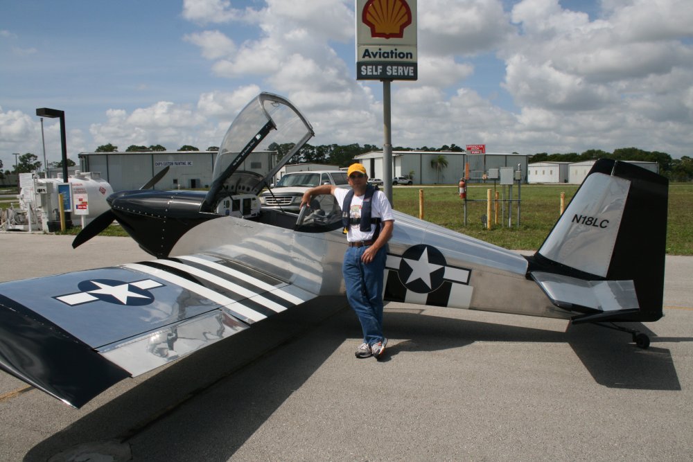
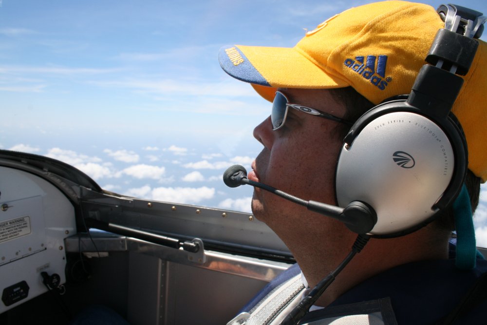
Co-pilot looks pretty calm. |
|
 |
|
|
The liferaft -- in red case -- is
right at hand in case it is
needed. |
|
 |
|
|
After takeoff, I activated the flight
plan with Miami Radio, and headed south down the coast, climbing all the
way. This part of Florida is pretty
scenic. |
|
 |
|
| This
is it! Turning east. Going feet wet. |
|
 |
|
|
Here
we go! |
|
 |
|
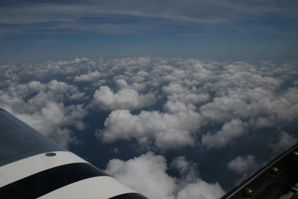
| There's a lot of
blue water down there under those
puffy clouds. |
|
 |
|
| |
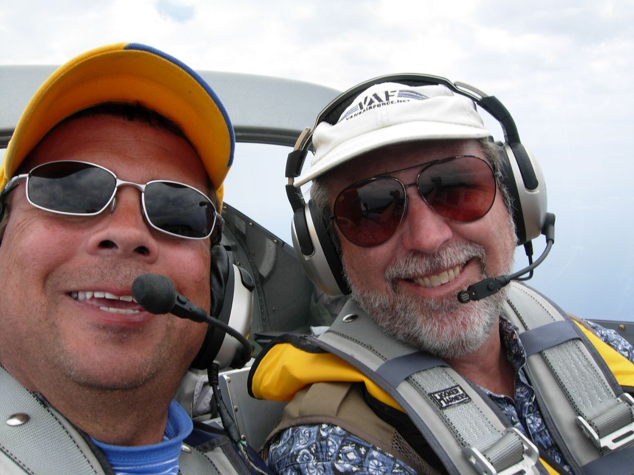
| The Co-pilot
is closely monitoring ... the glove compartment. |
|
 |
|
|
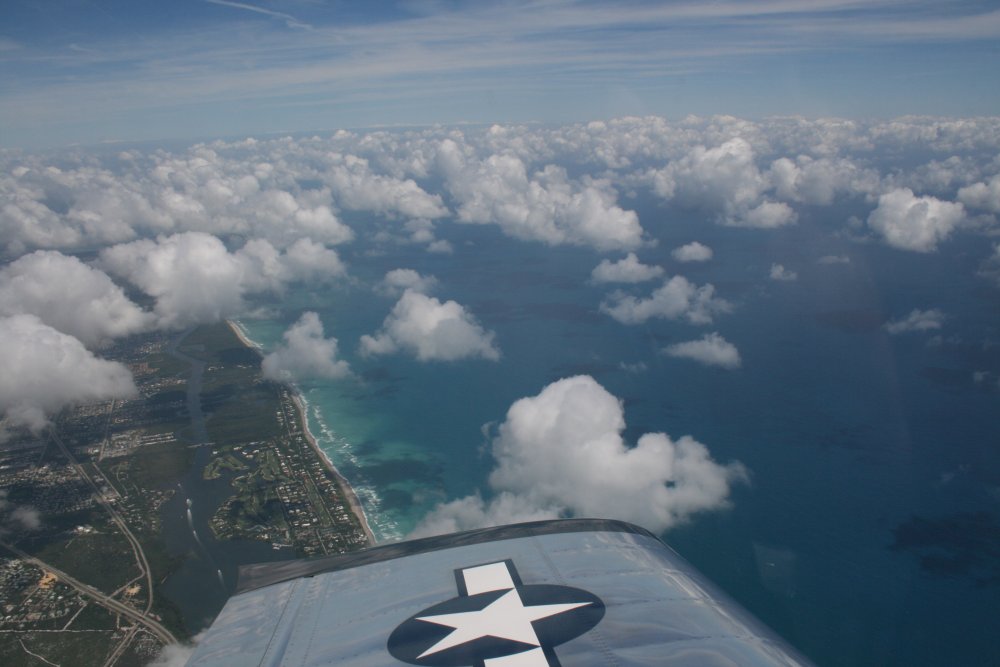
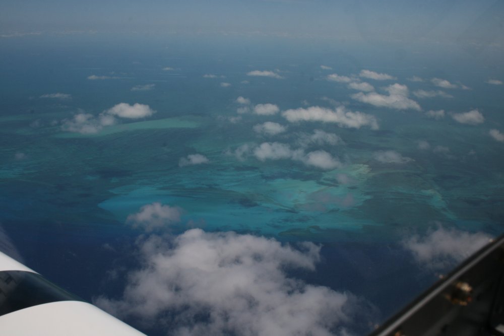
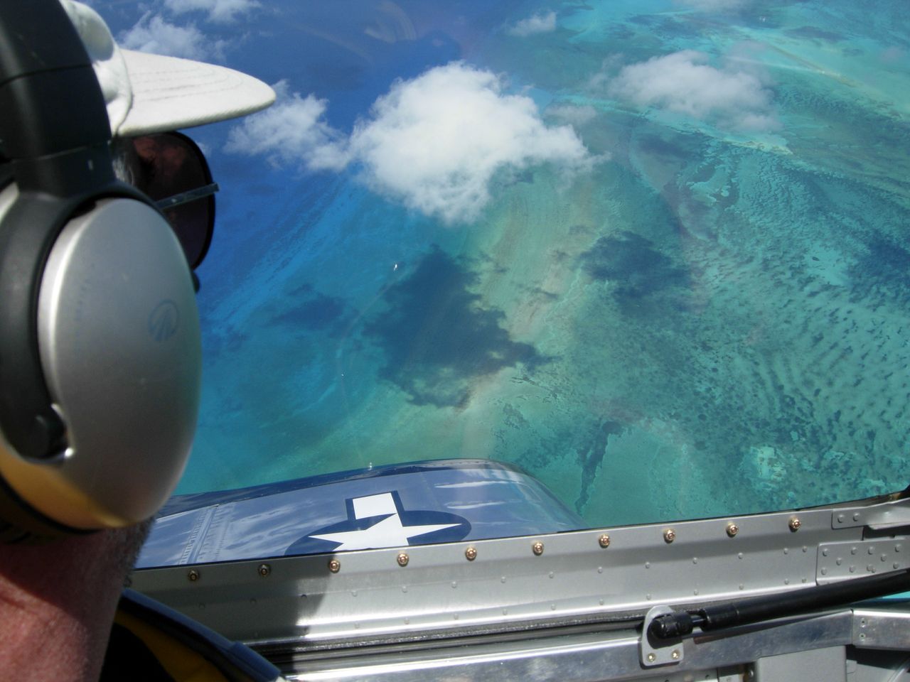
It wasn't too long after leaving the coast that we started seeing
shallow aqua-blue water. |
|
 |
|
|
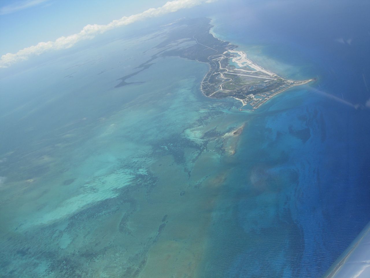
The west end of Grand Bahamas
island. With the RV's speed, we really weren't out of
sight of land for very long: 15 minutes or so. |
|
 |
|
|
We were both stunned by the beauty of the water. |
|
 |
|
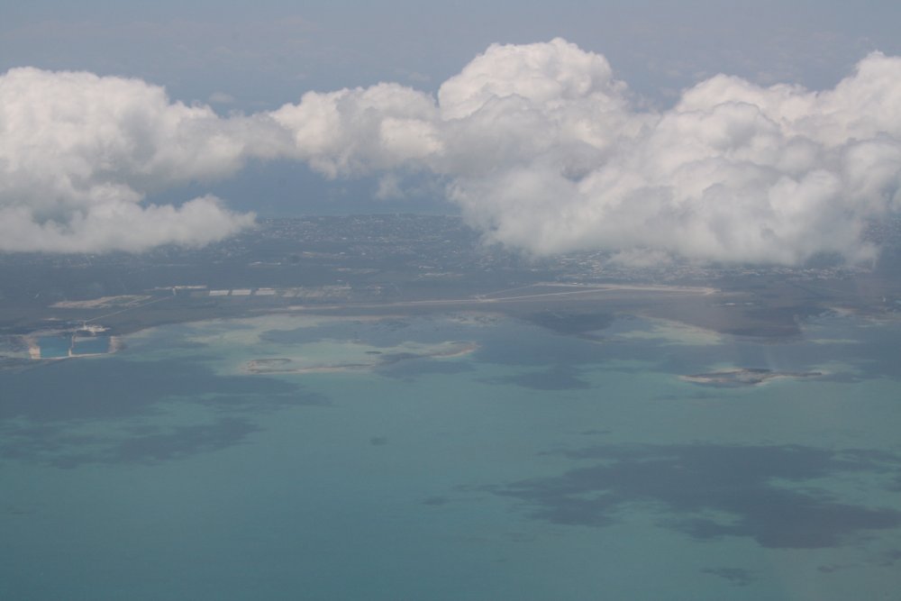
| The city of Freeport
is underneath those clouds. |
|
 |
|
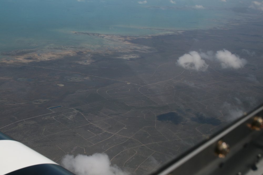
| The east half of Grand
Bahama island is pretty
barren. It looks like they built roads for a housing development
that never happened. Either that or those are writings made by
aliens from outer space long ago. |
|
 |
|
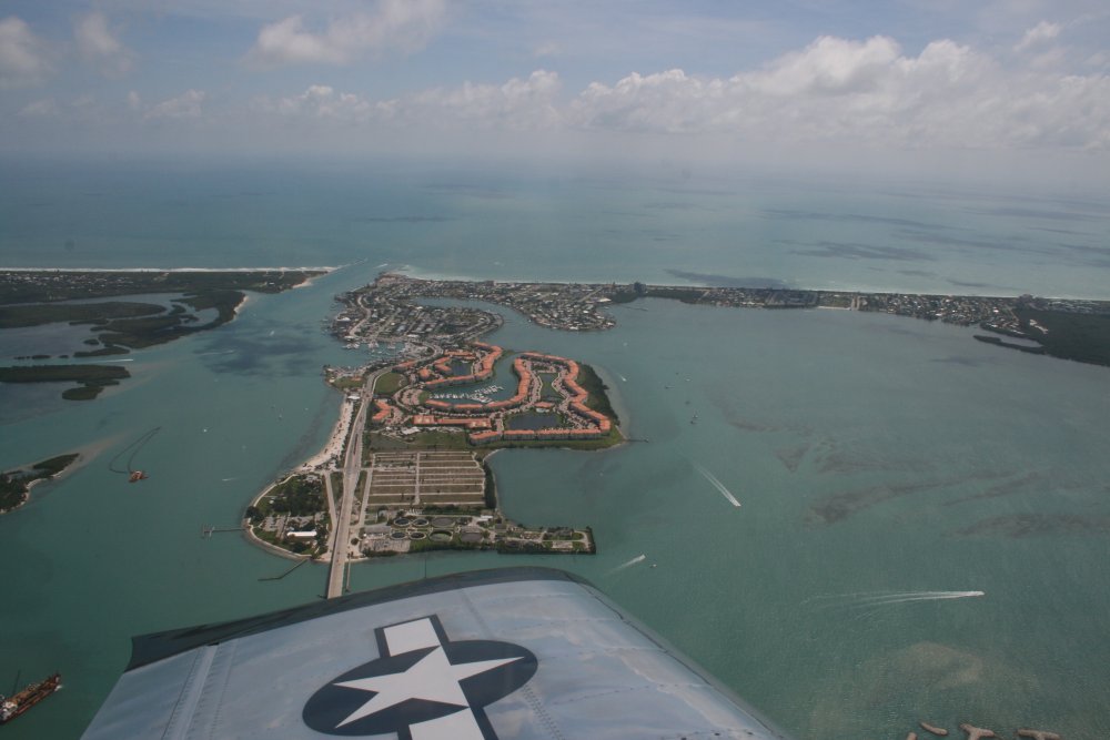
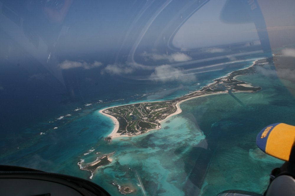
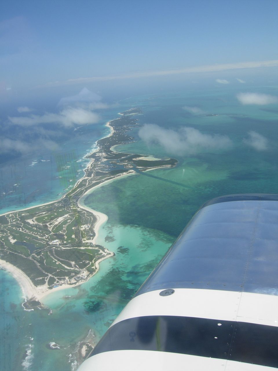
| Great Abaco was
just on the other side of Grand Bahama Island. We crossed over Great Abaco
to check out Great Guana Cay on the other side which is where
we would be staying. Here is the northwest tip of Great Guana Cay
looking southeast. There's a golf course on the north tip. |
|
 |
|
|
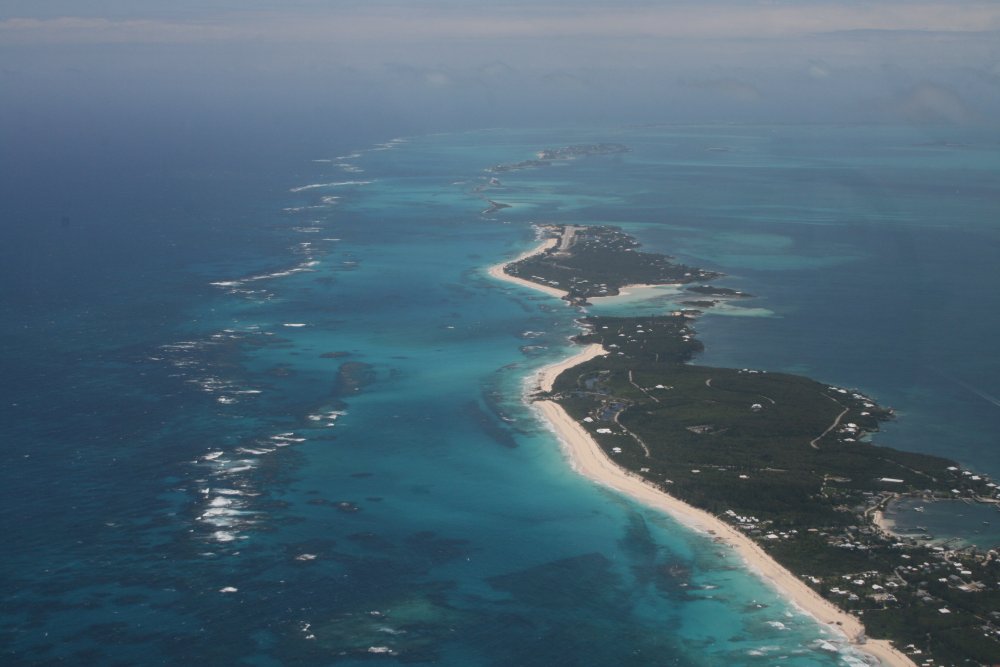
A good shot of Great Guana Cay. |
|
 |
|
|
Our hotel -- Grabbers -- is at the
lower right of the picture, bay side. Jack and I walked
most of that beach the next morning. |
|
 |
|
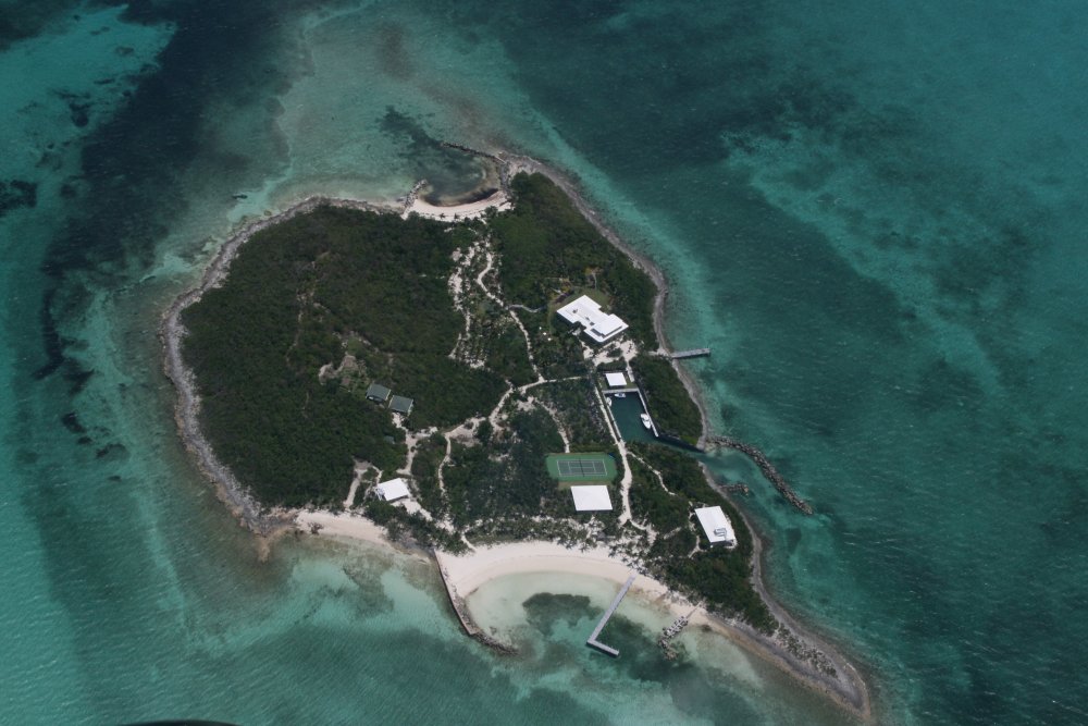
| Spoil Bank
Cay which looks like someone's private island. |
|
 |
|
|
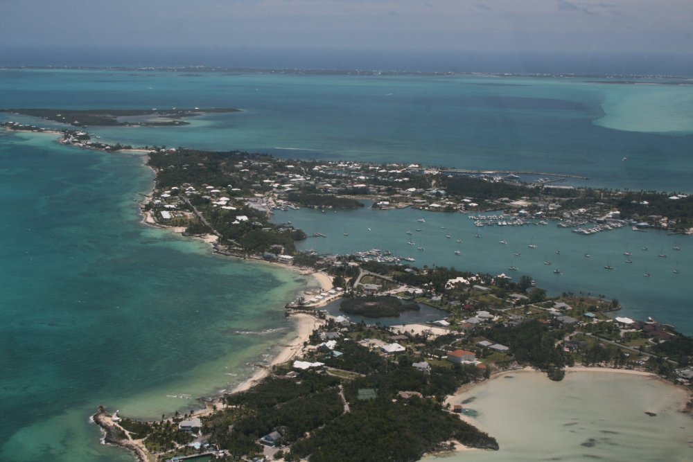
Marsh Harbor on Great Abaco. Marsh Harbor airport
is inland, and not in the picture. |
|
 |
|
| Marsh Harbor (MYAM)
airport dead ahead. |
|
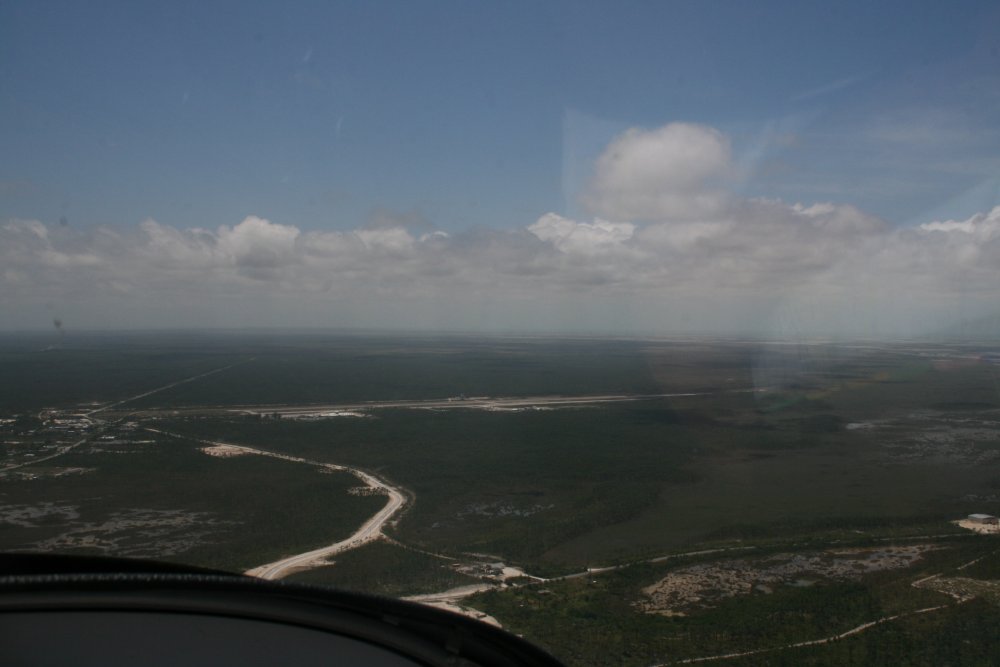 |
|
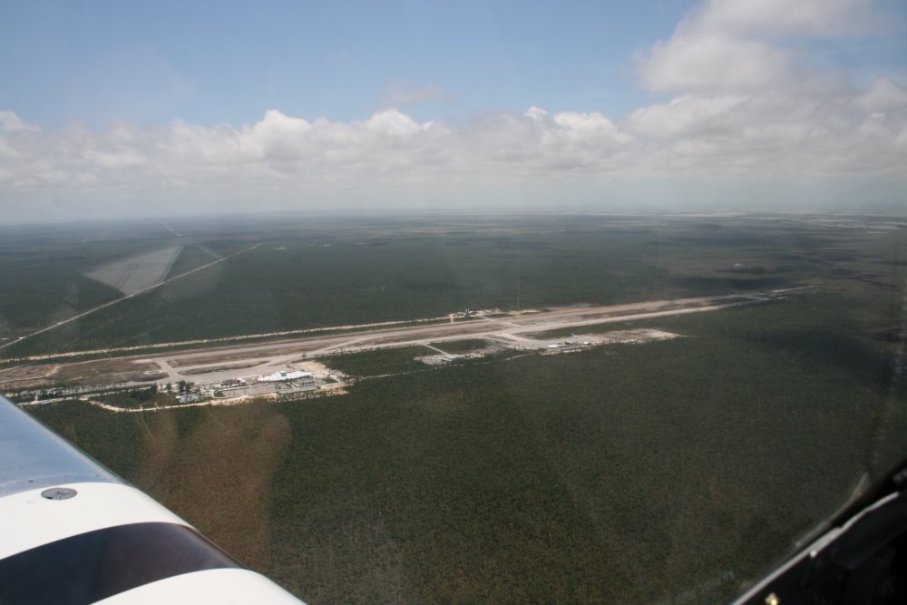
| On left downwind
for landing at Marsh Harbor airport. The Unicom frequency was
122.8 -- as were most of the Bahamian airports. There was a
surprising amount of traffic at
this airport when we came in. |
|
 |
|
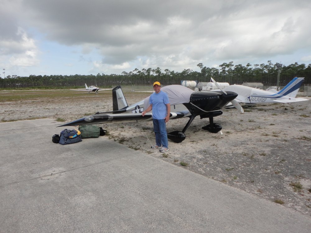
| Safe on
deck. The RV is unloaded and tied down. To keep my
elevator, ailerons and rudder from flapping around, I'm using the "Gust
Buster" system I bought at Oshkosh. It uses springs and bungy cords
to give a "shock absorber" effect. It worked great the
entire trip, although we didn't really experience heavy winds at night the entire
trip. The tie-down kit and the canopy cover are mission-essential pieces of
equipment for cross-country trips like this, of course. |
|
 |
|
|
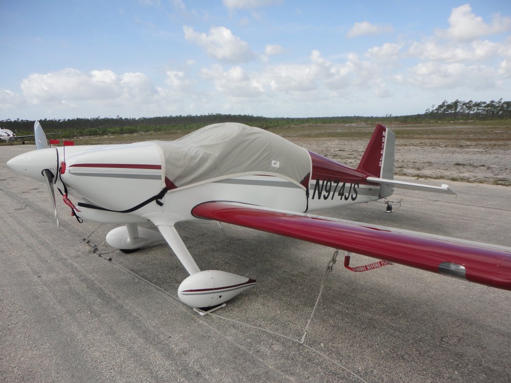
Another RV was tied down on the
ramp. |
|
 |
|
|
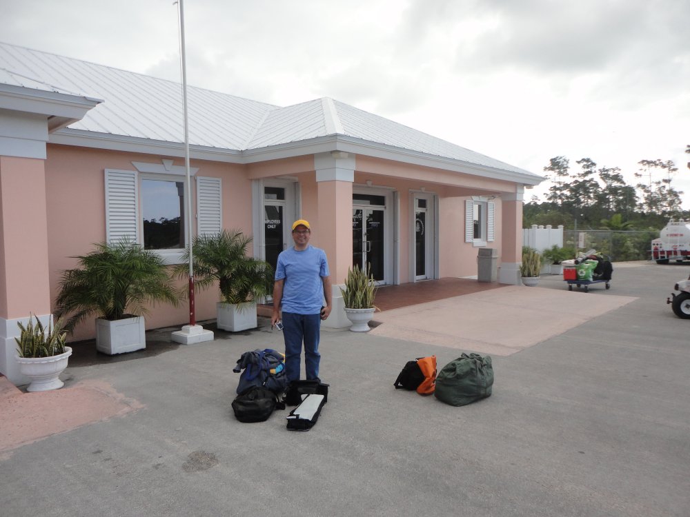
Once we got the plane tied down, the next step was to go through Bahamian
customs and immIgration. Almost all of the Bahamian airports we would land at on
this trip had a customer and immigration office. But they were
all hassle-free and only took a few minutes. Of course, we had the
required paperwork like passports and general declarations (gendec) forms. Still, they
obviously welcome tourists and have a no-hassle policy. The FBO, Cherokee
Aviation, was very good. |
|
 |
|
| |
|
|
|
|
|
|
|