Florida Vacay - Flight Home Part II - April 2019
|
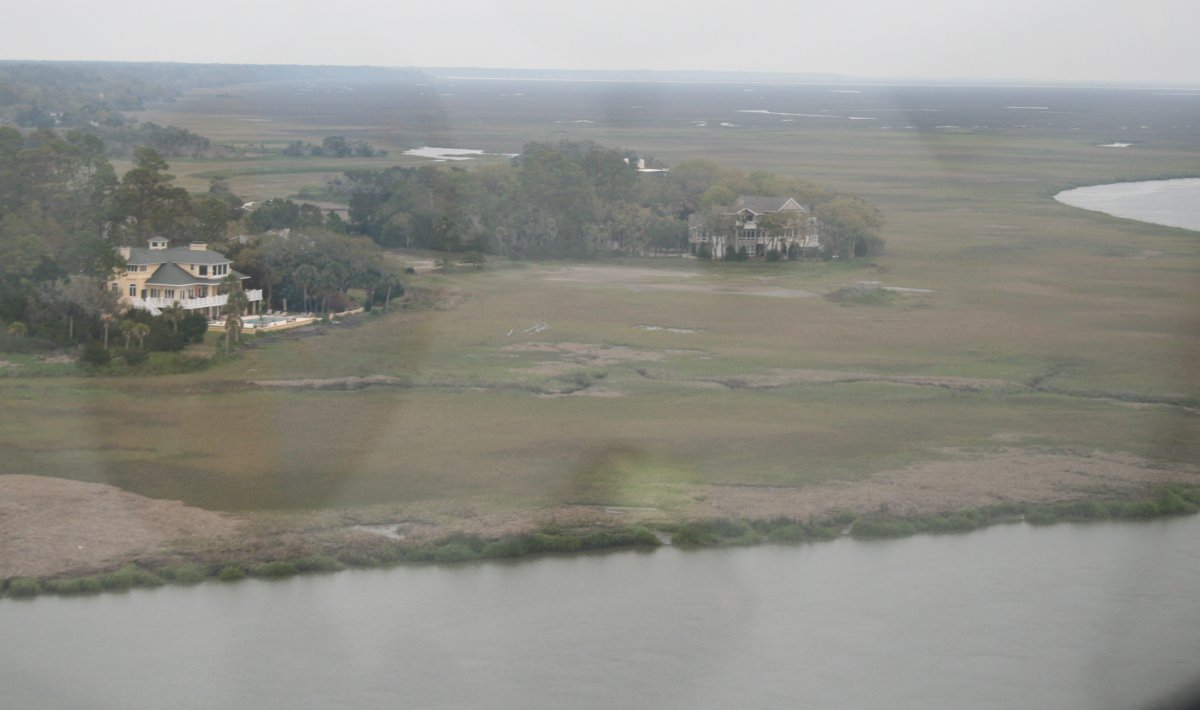
| Some more secluded estates on the marsh edge. |
| |
 |
|
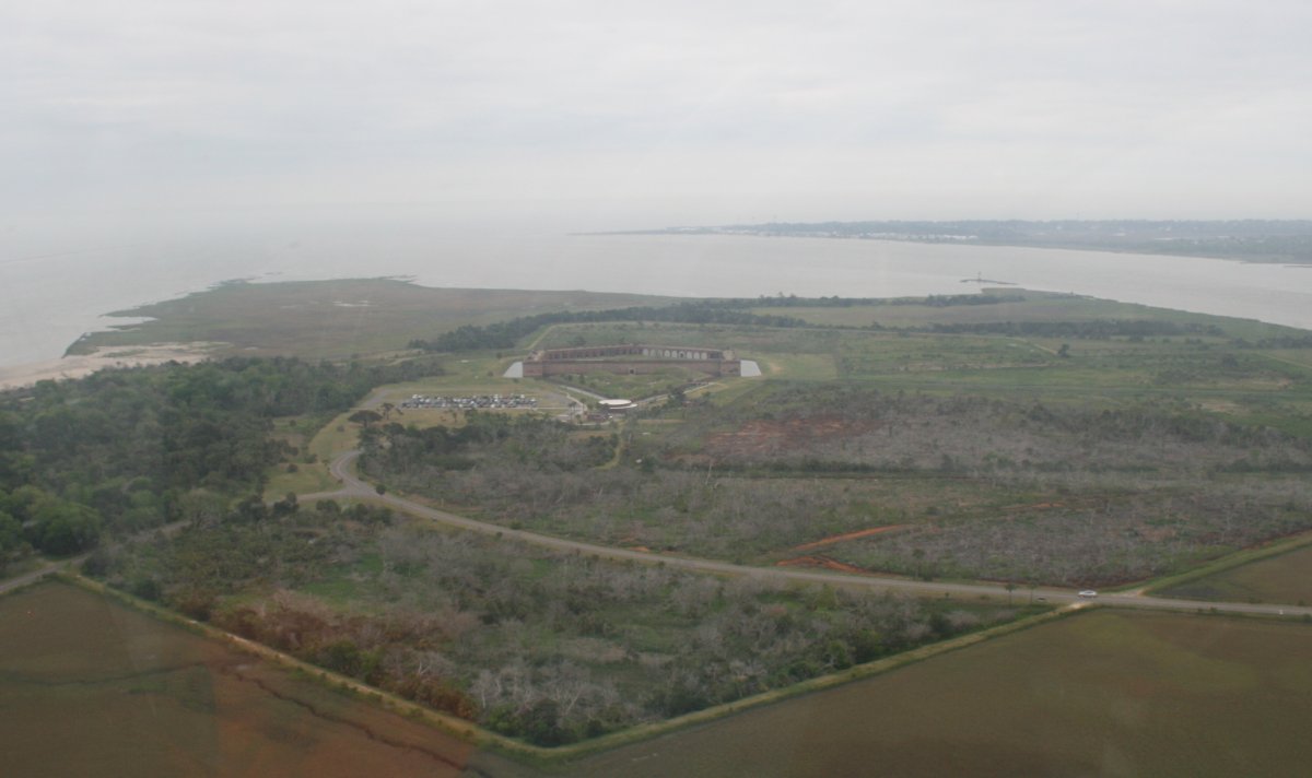
From the west, I approach Fort Pulaski which strategically sits at the mouth of the Savannah River. |
| |
 |
|
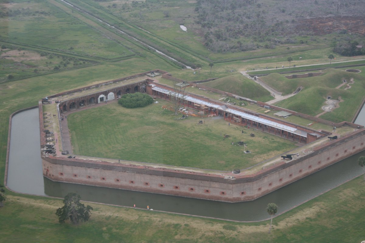
| The building of the Fort began in 1829 and was completed in 1847. Robert E. Lee was an engineer involved in the project. The Fort looks pretty impregnable with it's own moat and high walls. But improvements in artillery technology allowed the Union to take the Fort early in the Civil War. |
| |
 |
|
|
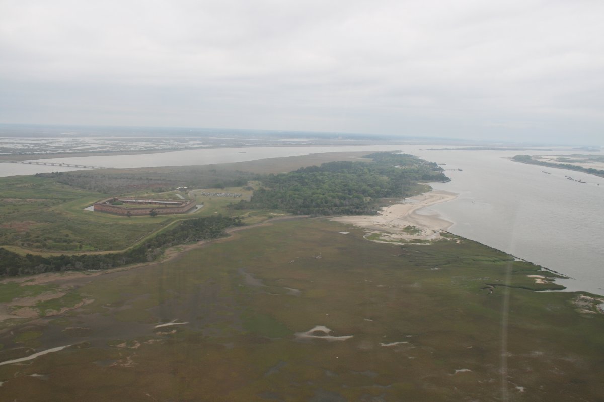
Looking west where the Savannah River runs to, you guessed it, Savannah! On the north side of the Savannah River is South Carolina.
|
| |
 |
|
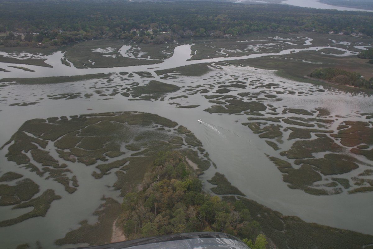
| Flying around the vicinity of Turtle Island, South Carolina. |
| |
 |
|
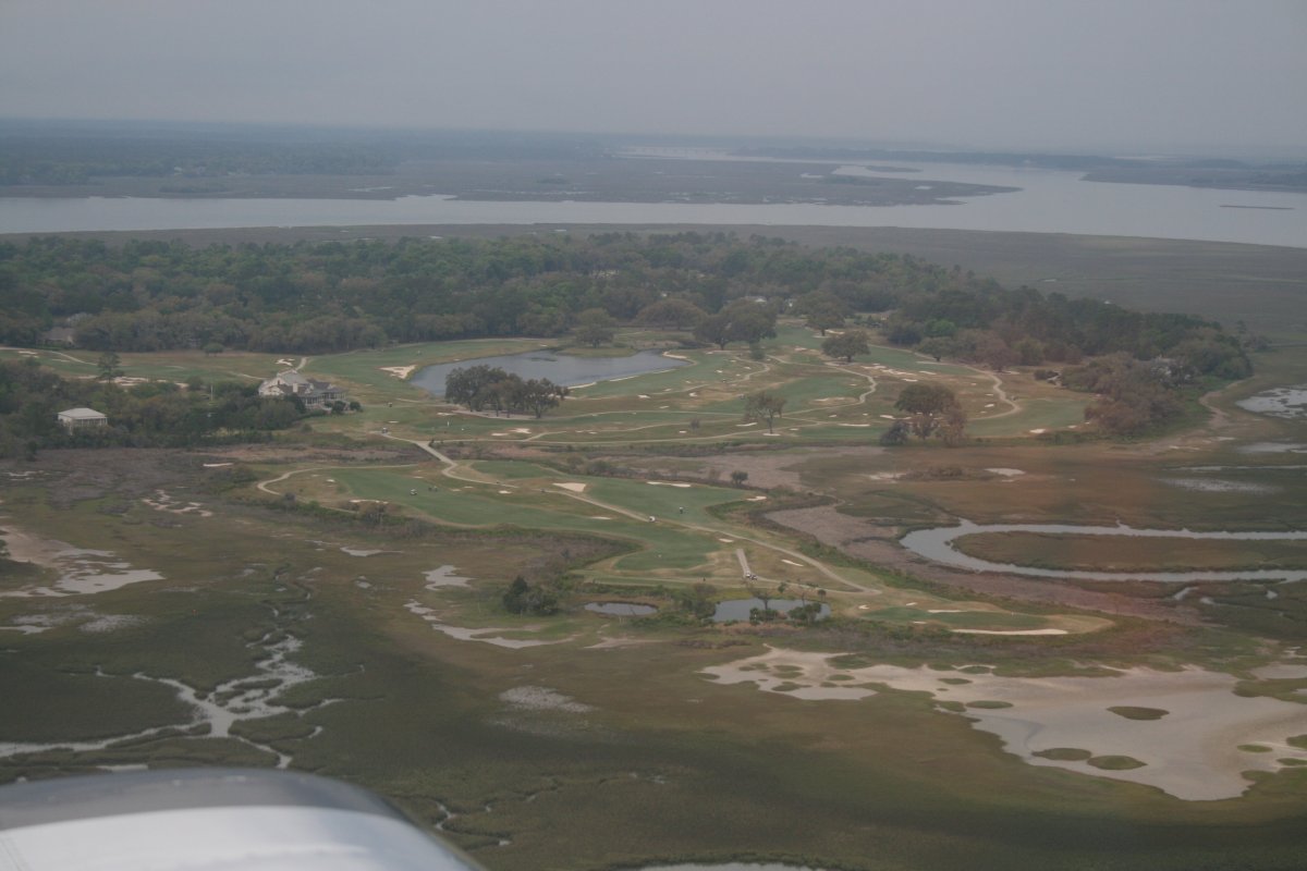
| A golf course on the north end of Daufuskie Island. |
| |
 |
|
|
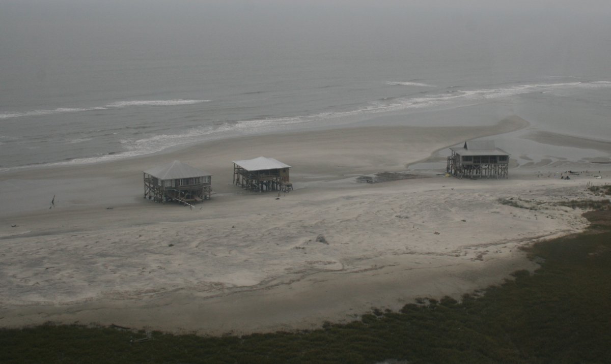
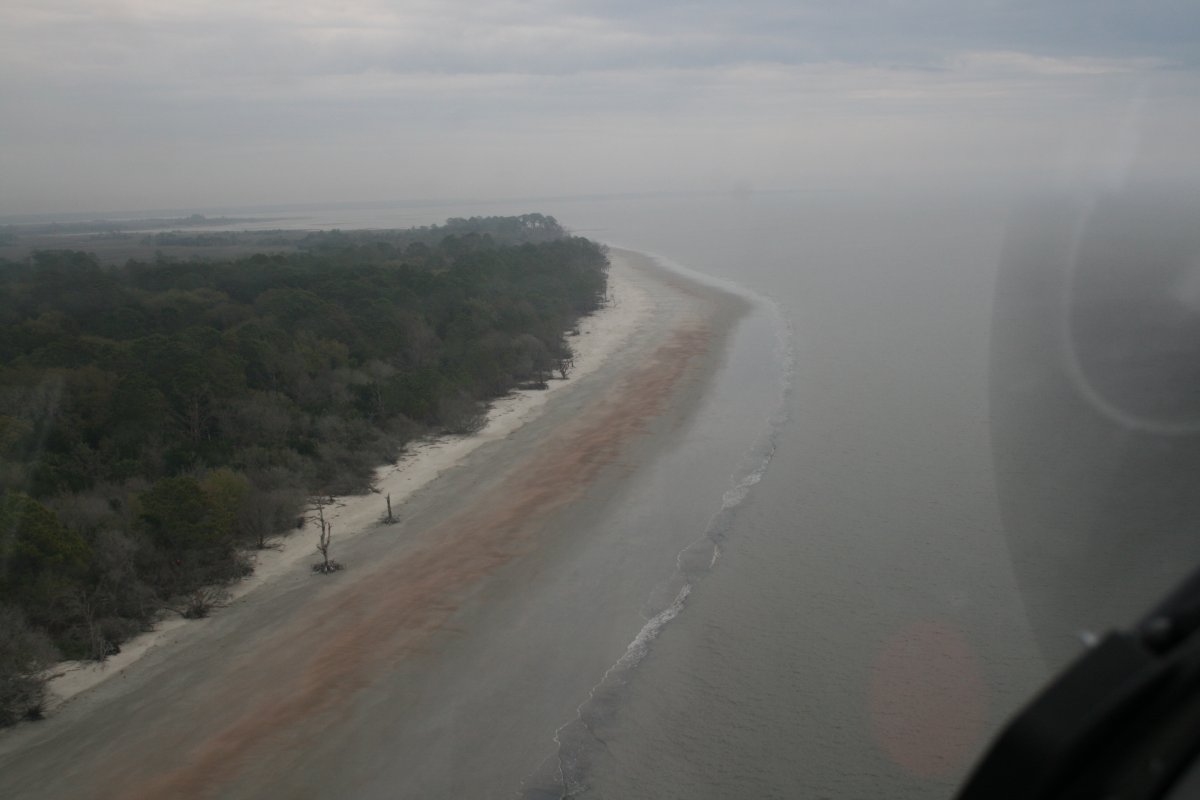
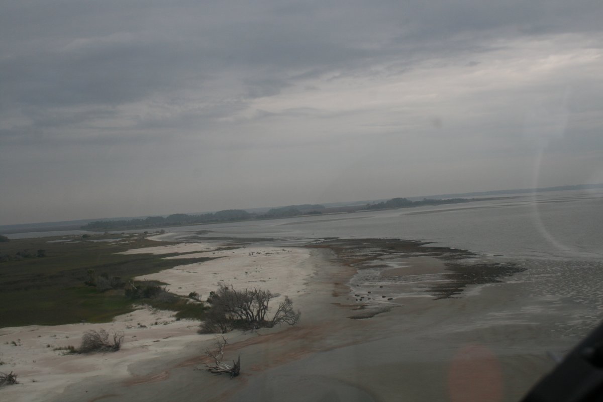
After passing by Hilton Head Island, I came to more uninhabited islands.
Location, location, location!
|
| |
 |
|
|
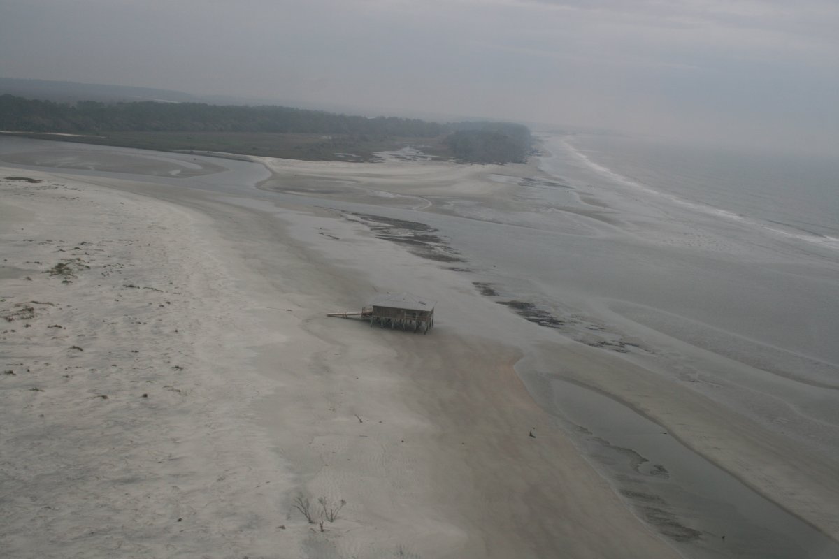
I'd love to know the story on these abandoned houses.
|
| |
 |
|
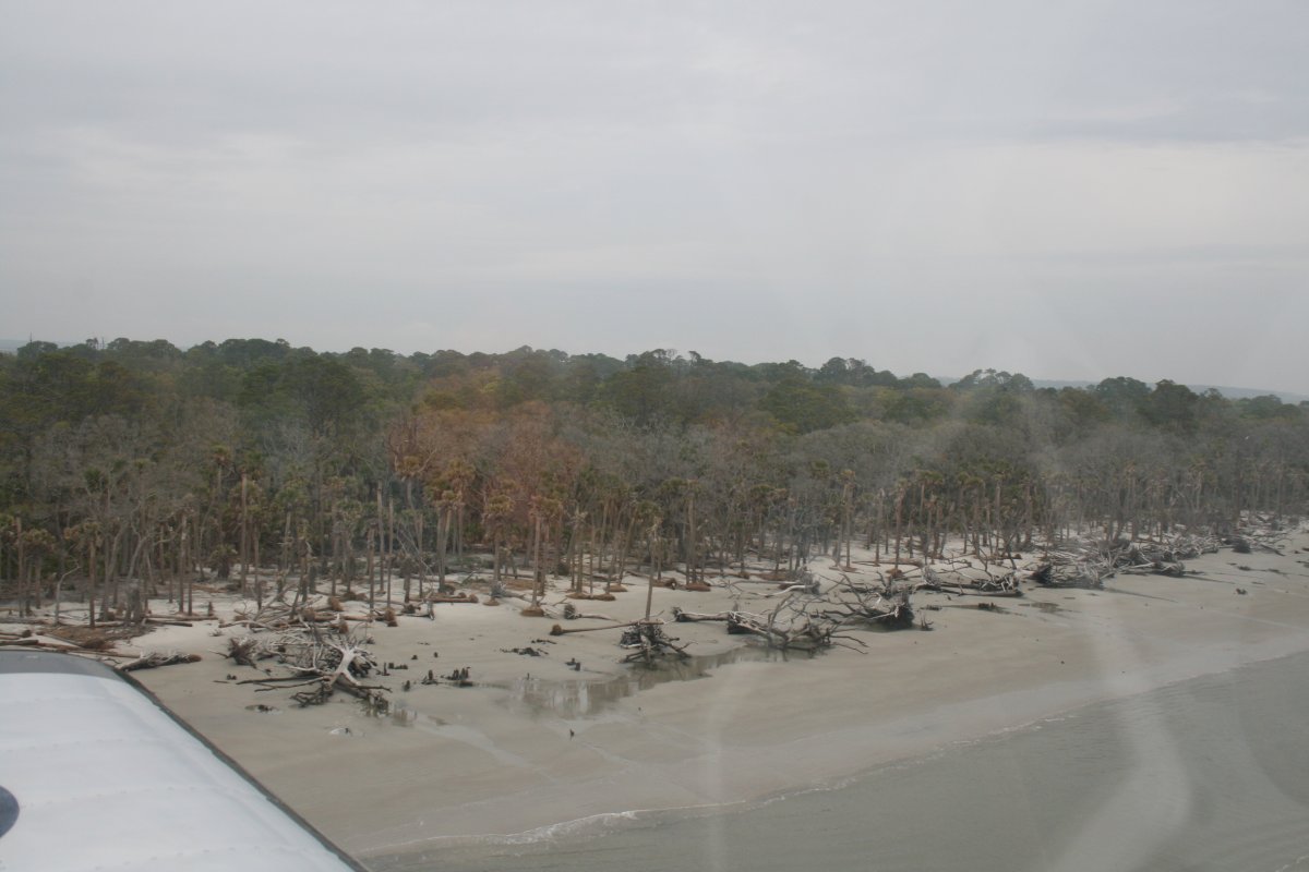
| The trees come right up to the water line on this island. |
| |
 |
|
|
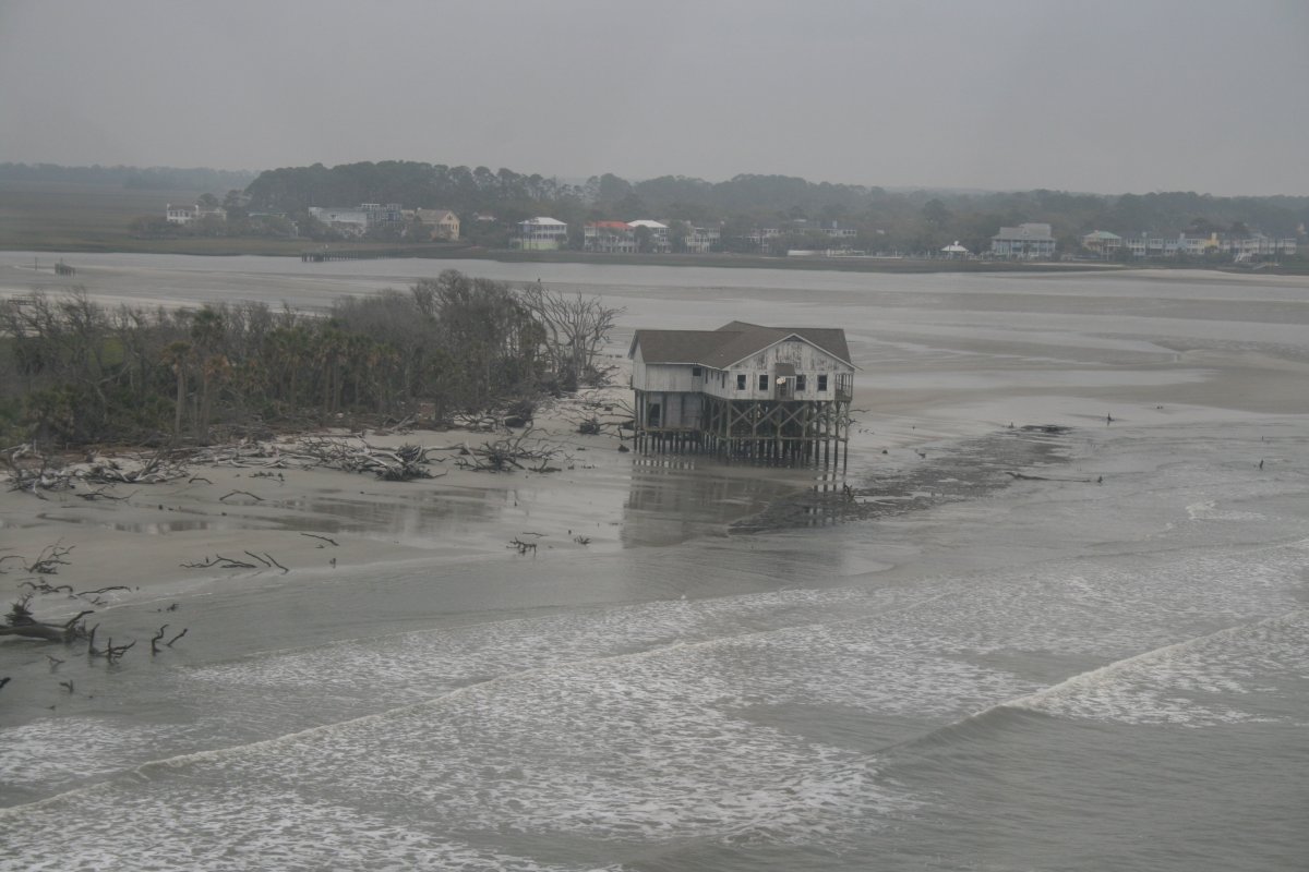
Another bad decision by some home-owner.
|
| |
 |
|
| |
| |
 |
|
| |
| |
 |
|
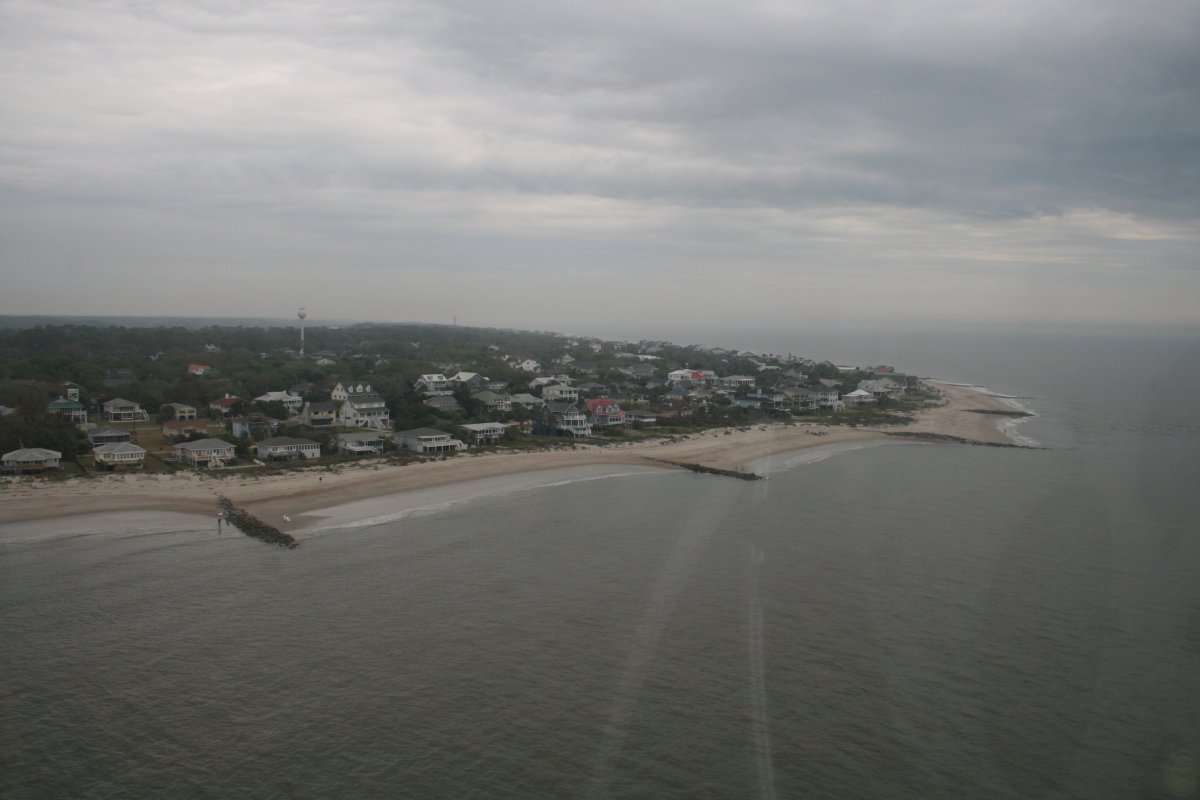
| Edisto Beach? Looks like I made it through the band of lousy weather. |
| |
 |
|
|
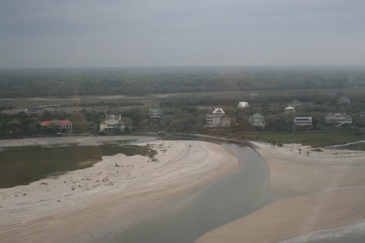
Nice houses on Edisto Island.
|
| |
 |
|
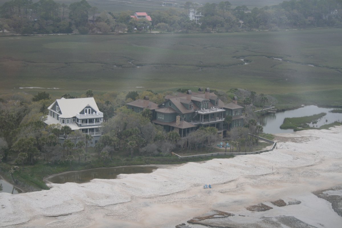
| That's a big one. |
| |
 |
|
|
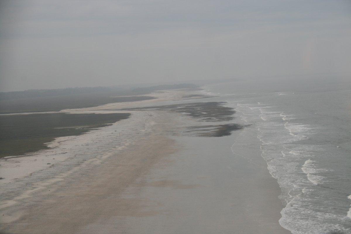
Flying down the beach at Botany Bay Island. I may have spoken too soon about leaving the crummy weather.
|
| |
 |
|
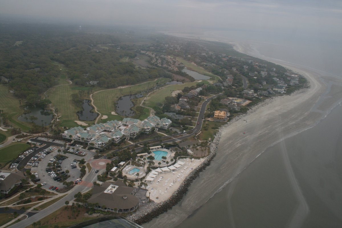
| Passing by the Seabrook Island Beach Club and Pools. |
| |
 |
|
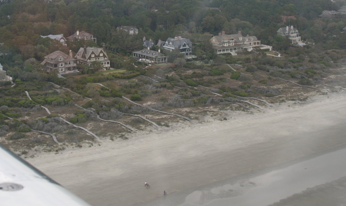
| West Beach Village on Kiawah Island. |
| |
 |
|
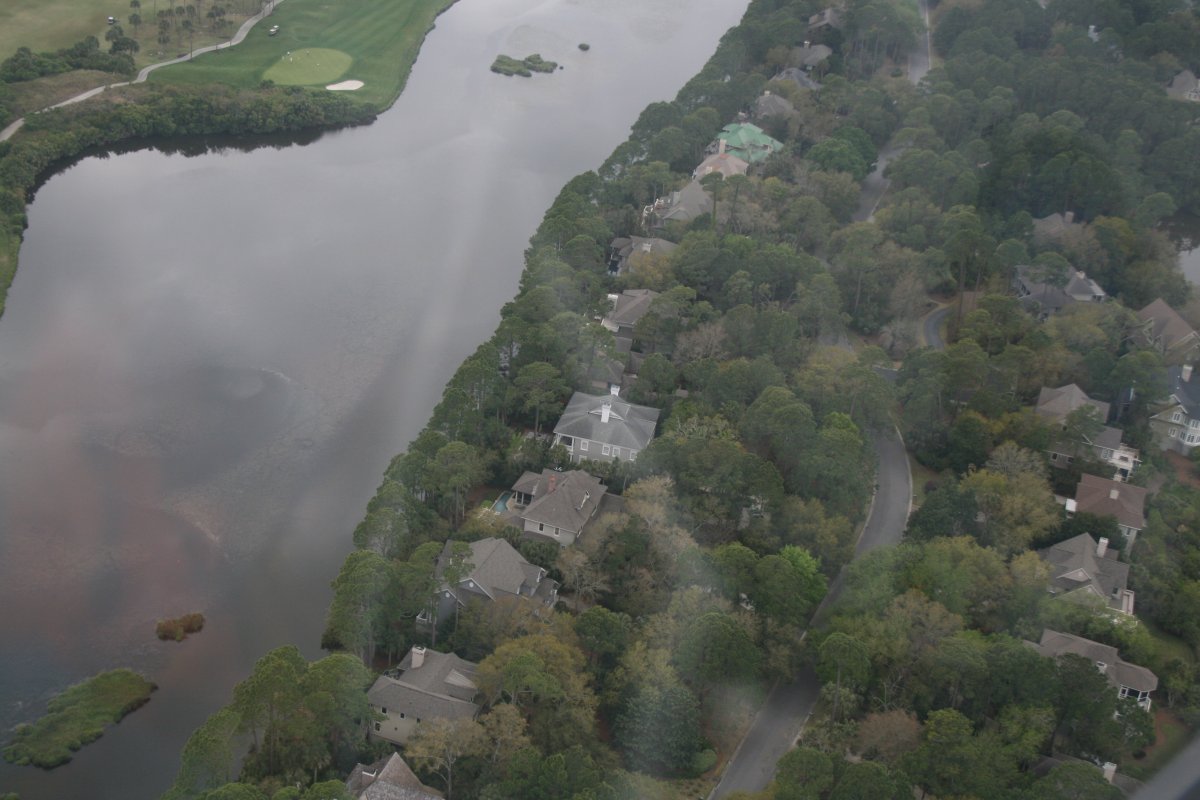
| I know Kiawah Island; a shipmate of mine has a place down below. |
| |
 |
|
|
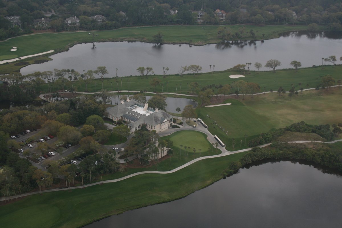
The big golf clubhouse.
|
| |
 |
|
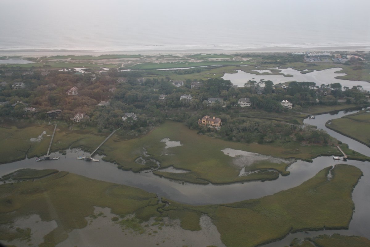
| Looking east across Kiawah to the ocean. |
| |
 |
|
|
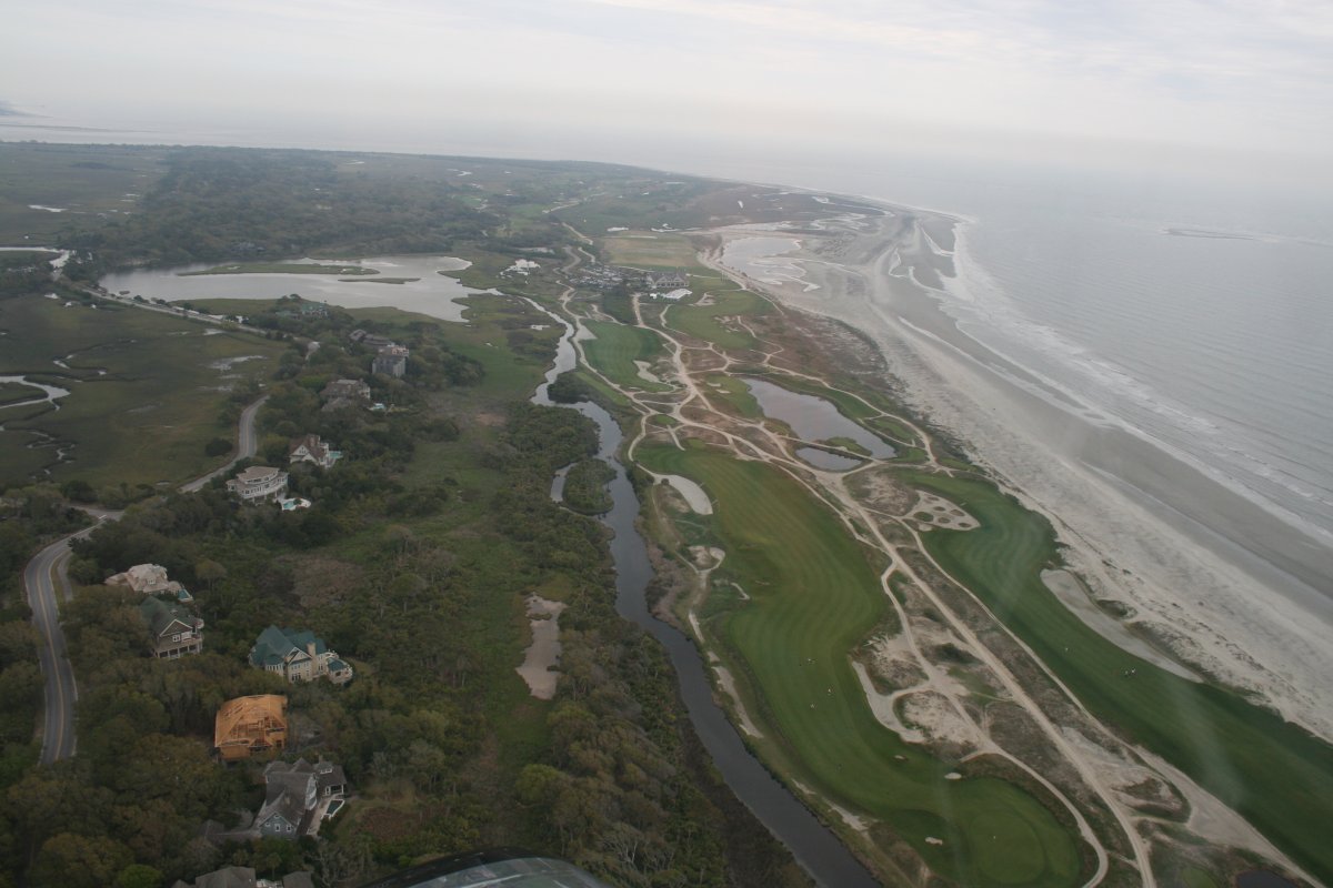
The Kiawah ocean golf course.
|
| |
 |
|
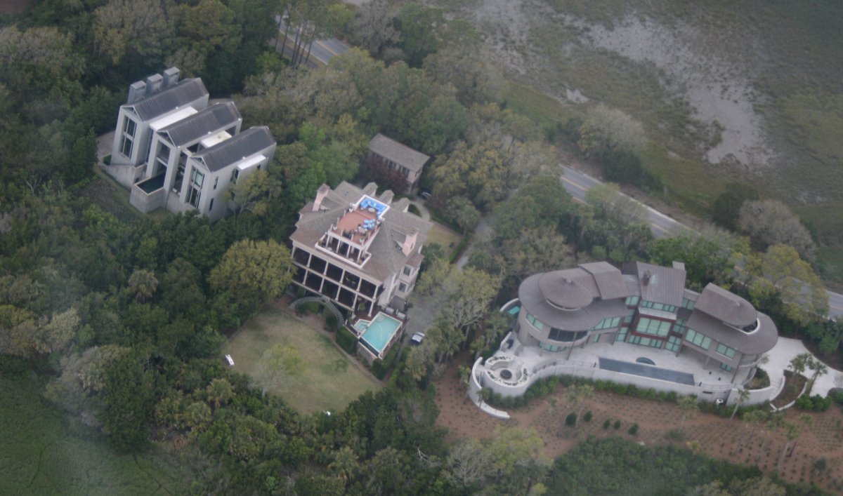
| Interesting architecture on these big houses. |
| |
 |
|
|
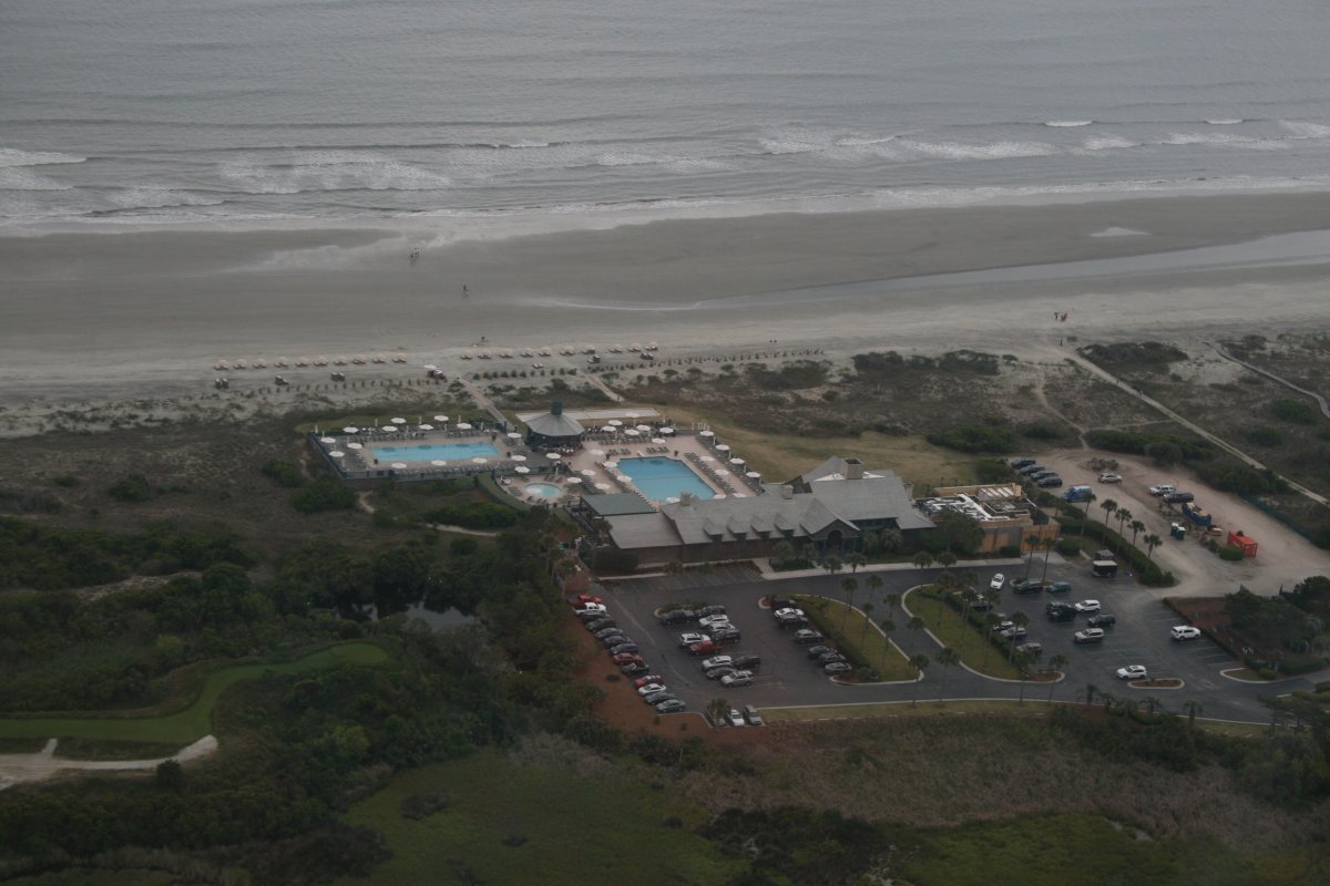
The Kiawah Beach Club. I got pretty sunburned there once.
|
| |
 |
|
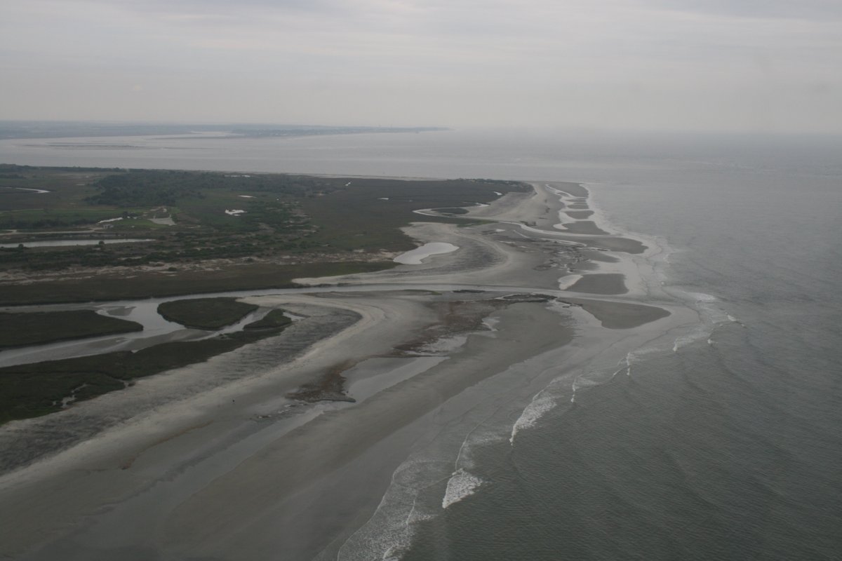
| The northeast tip of Kiawah Island. |
| |
 |
|
| A short hop across the mouth of the Kiawah River and I had Folly Island ahead of me. |
| |
 |
|
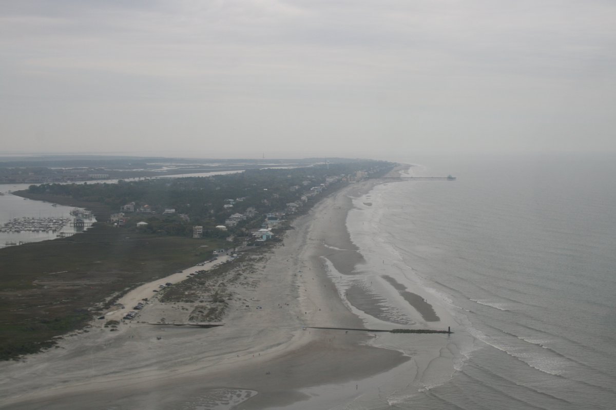
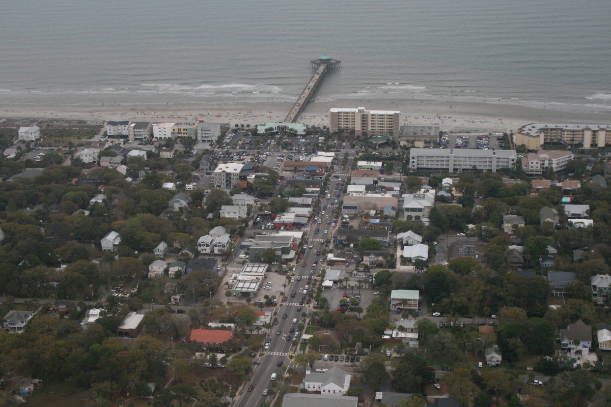
| Looking down at Folly Beach which interested me since our family vacationed here for a week last August. |
| |
 |
|
|
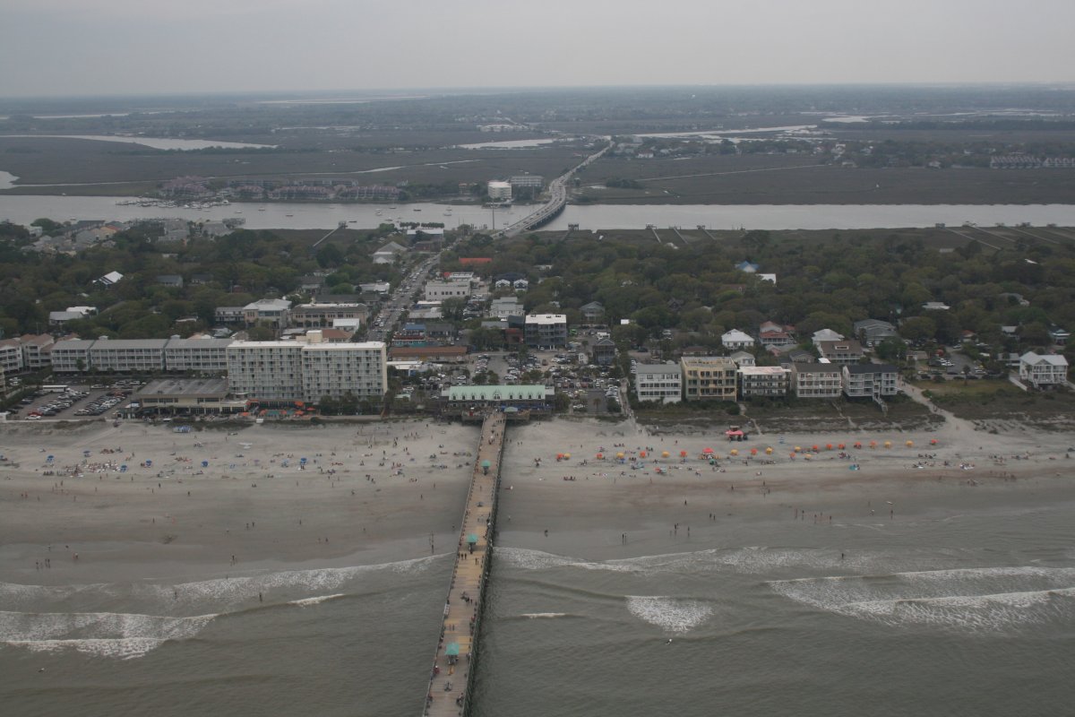
Running top to bottom is the main street where most of the restarants and bars were.
|
| |
 |
|
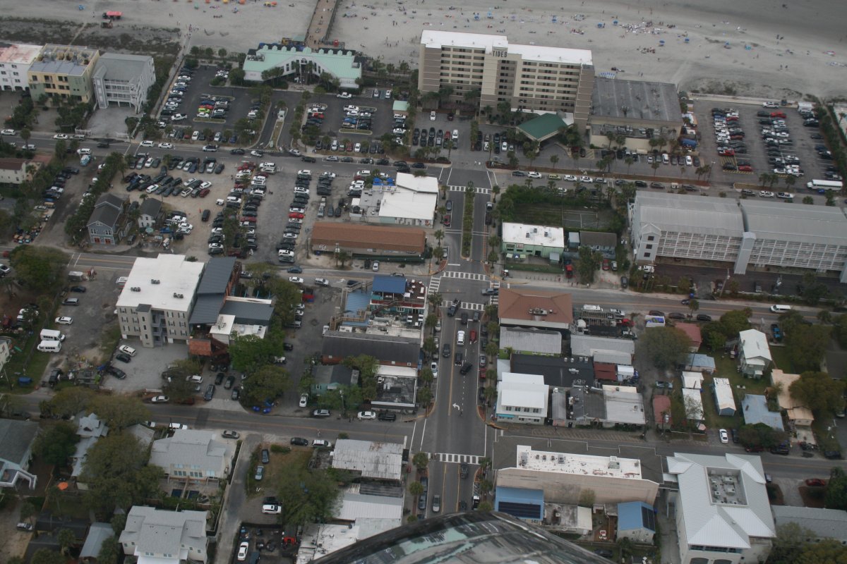
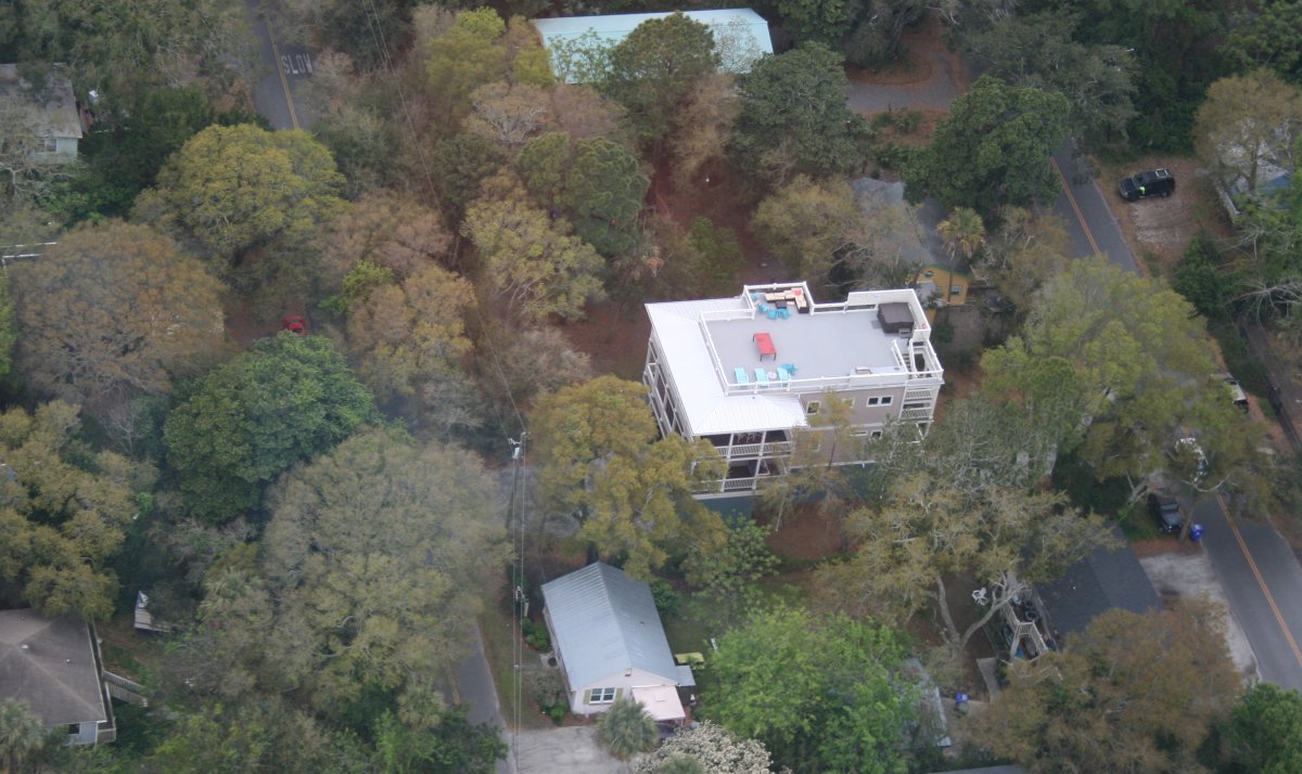
| I easily spotted the house we rented for a week. Yeah, it's big, but we had a lot of people and kids. |
| |
 |
|
|
A better look at the main street. Our rental house is out of sight to the left.
|
| |
 |
|
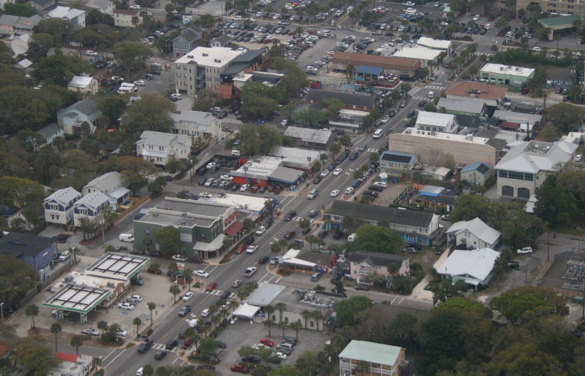
| Close-up. |
| |
 |
|
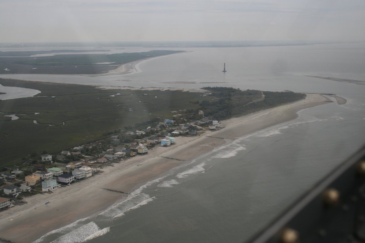
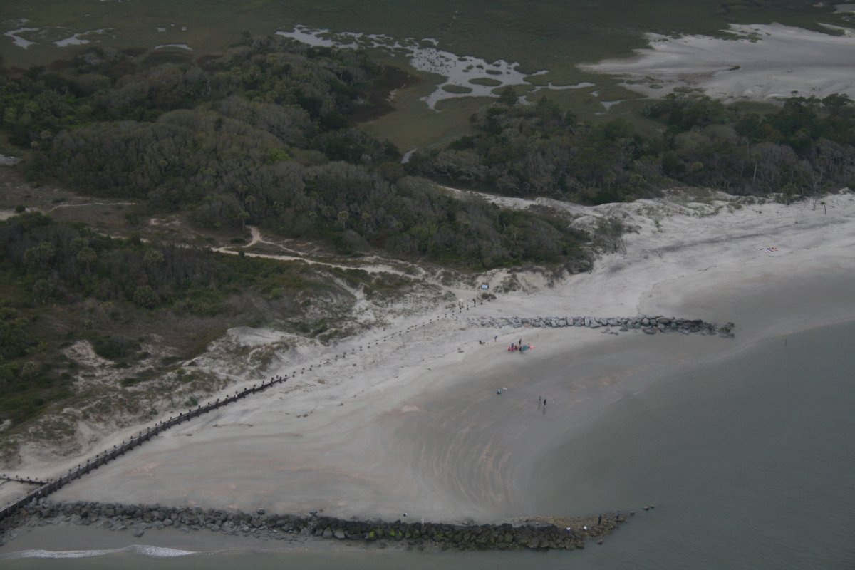
| The north end of Folly Island. We drove the golf cart down there one day. |
| |
 |
|
| The part we visited. A couple were getting married on the beach while we were there. |
| |
 |
|
|
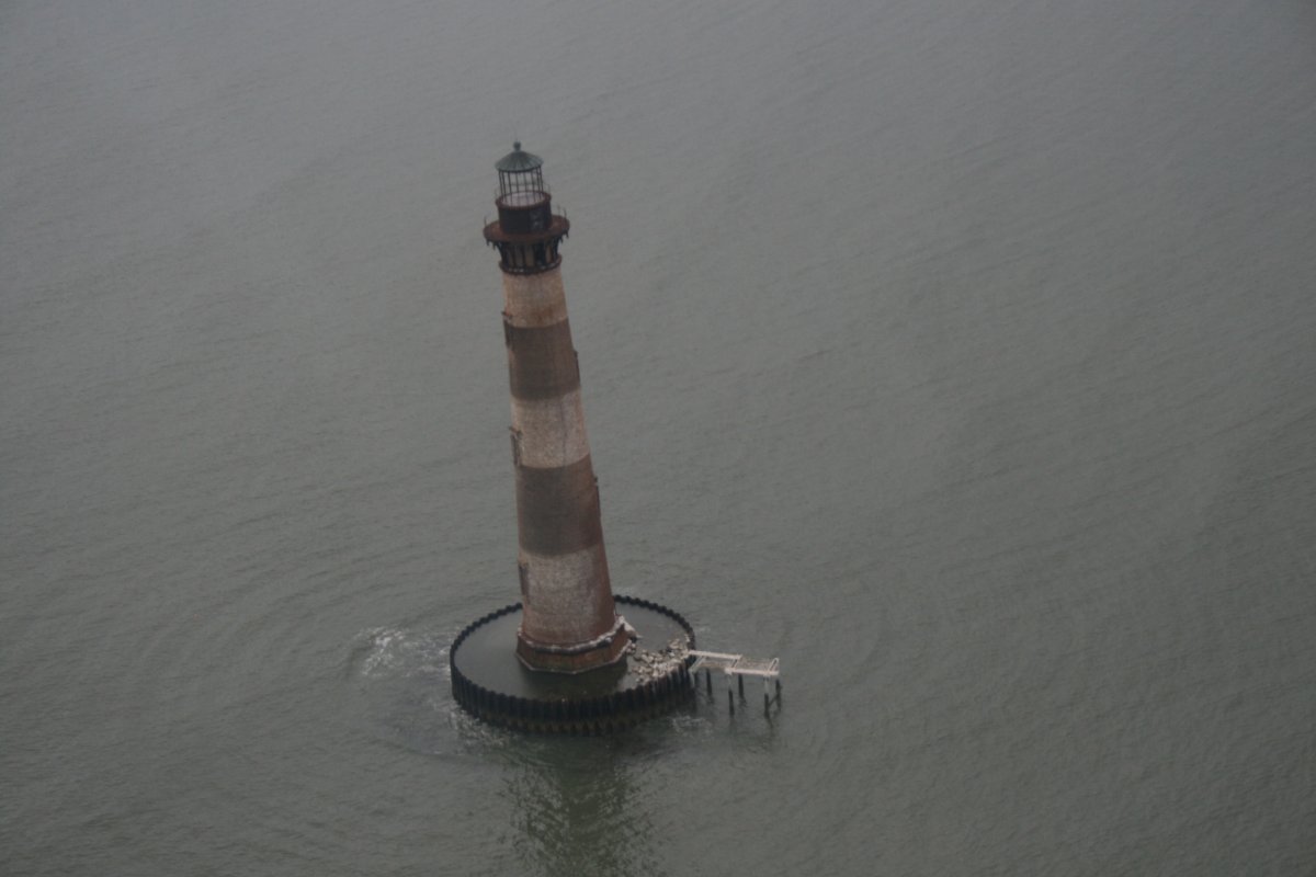
Circling Morris Island Lighthouse just north of Folly Island. The area around the lighthouse is almost all shallow or a sandbar.
|
| |
 |
|
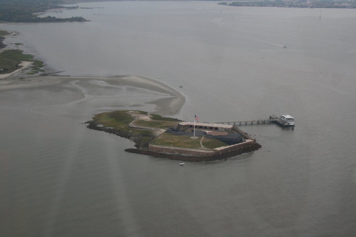
| Just a short distance further north is one of the most famous Forts of all: Fort Sumpter. I hope it is not necessary to tell you that this is where the American Civil War started on April 12, 1861. |
| |
 |
|
|
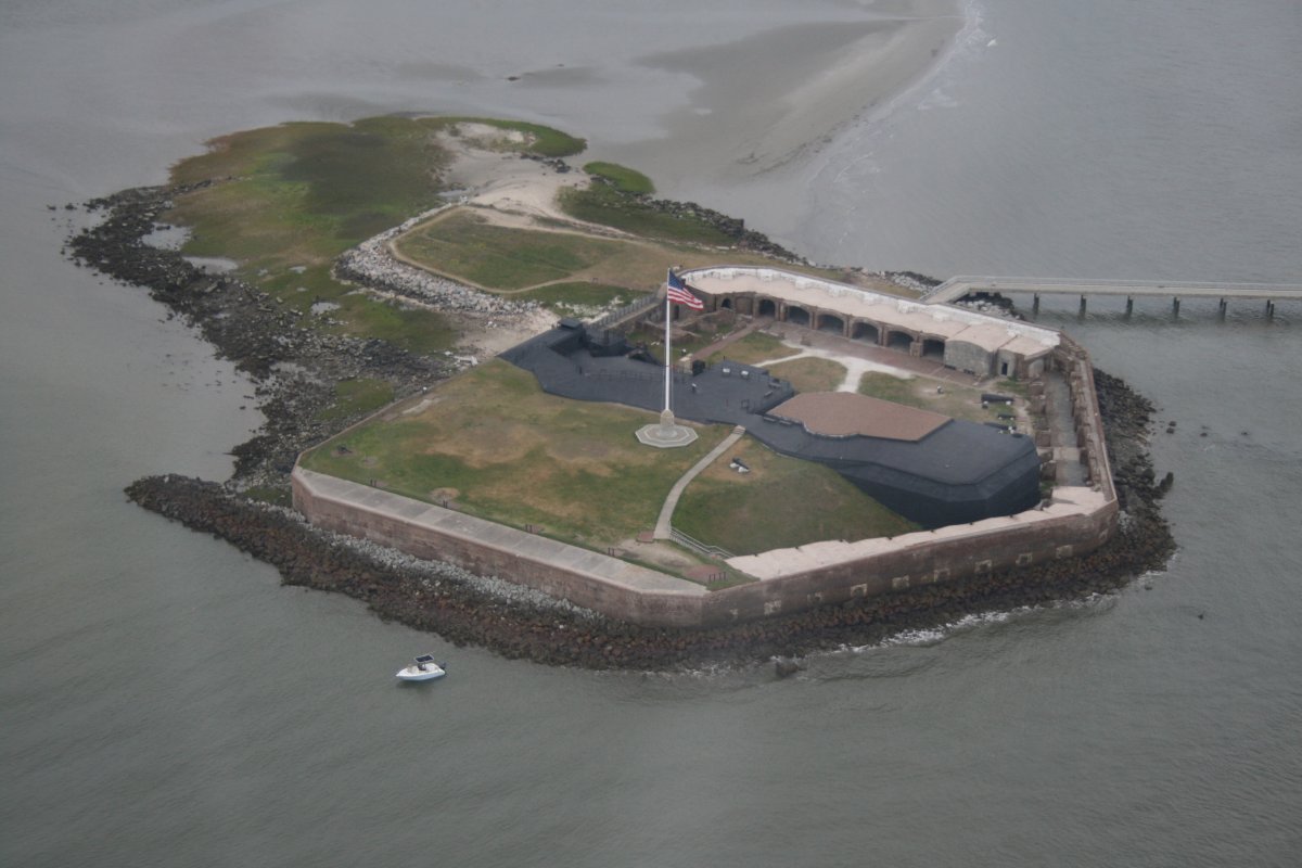
A close-up. The Confederates took the Fort on April 13, 1861 and managed to hold on to it almost the entire war.
|
| |
 |
|
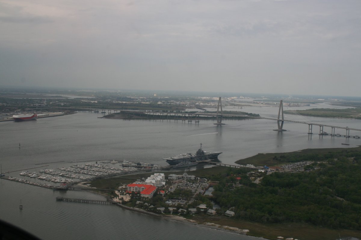
| Entering Charleston Harbor to see the U.S.S. Yorktown (CV-10). We had visited it last August. |
| |
 |
|
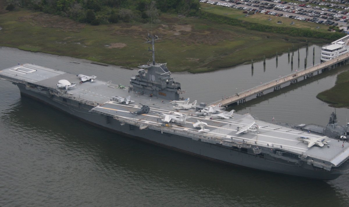
| Close-up. They have turned the Yorktoan and the destroyer USS Laffey into an outstanding museum. Recommended, if you are ever in the area. |
| |
 |
|
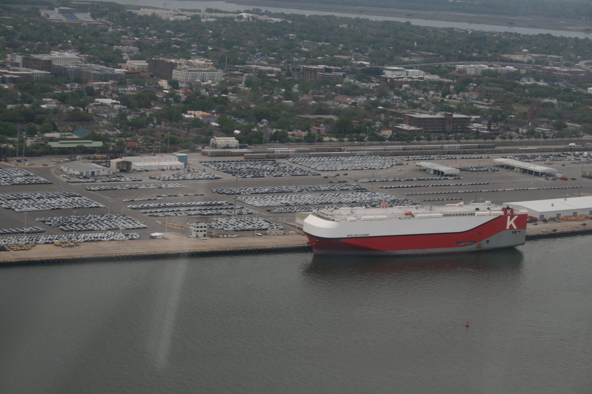
| On the west side of the Cooper River is this big automobile Roll-On, Roll-Off port. |
| |
 |
|
|
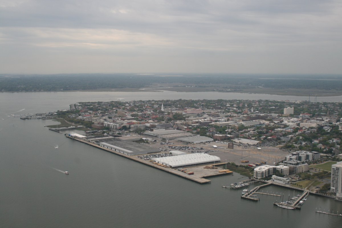
Looking southeast at Charleston and the Battery.
|
| |
 |
|
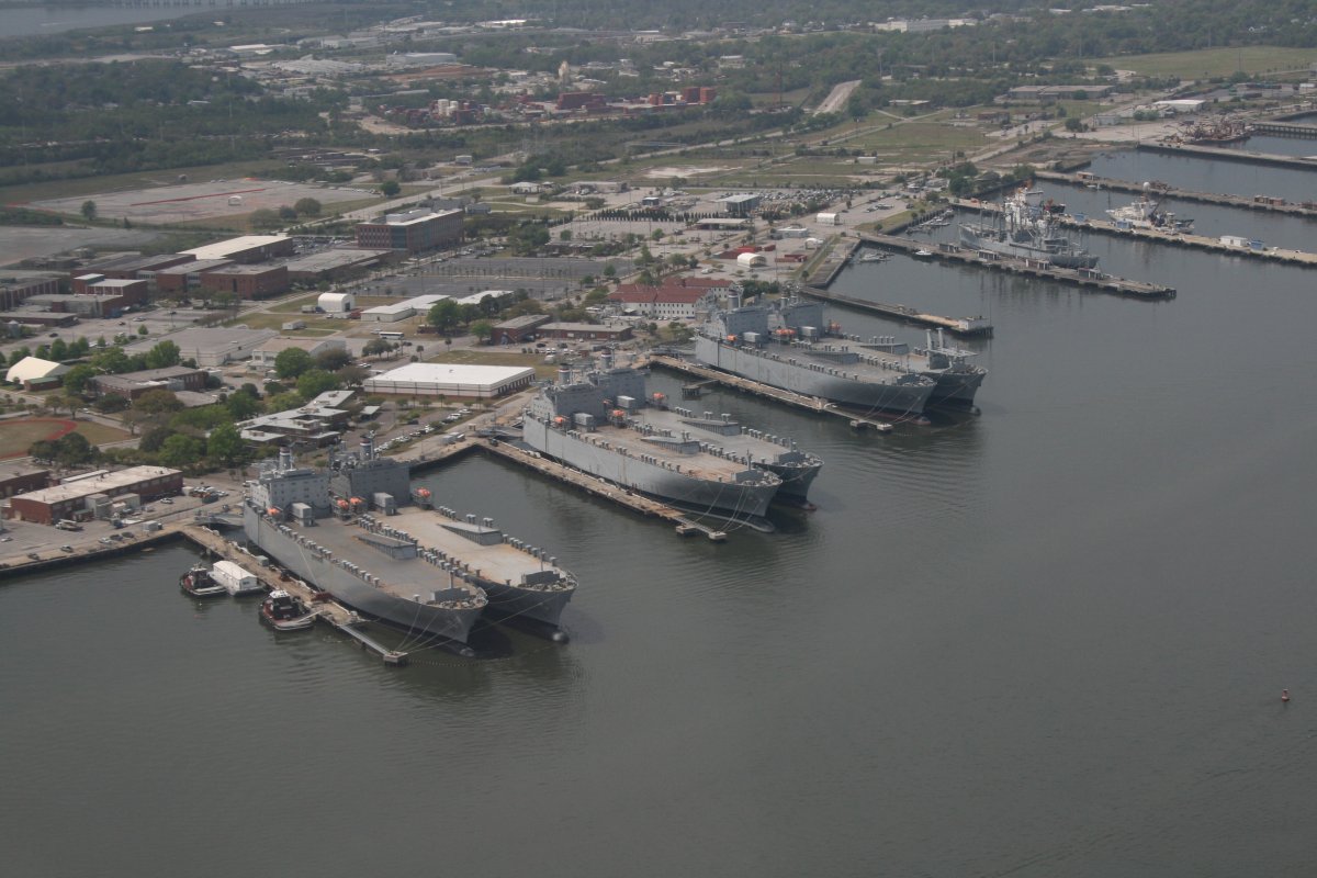
| I flew up the Cooper River as far as I could without entering the Charleston Airport's airspace. I wanted to see the old Charleston Naval Base where I was stationed on a Destroyer Squadron Staff by in the late 80s. The Navy pulled out long ago but all the piers are still there. Looks like some Supply ships are kept tied up here. |
| |
 |
|
|
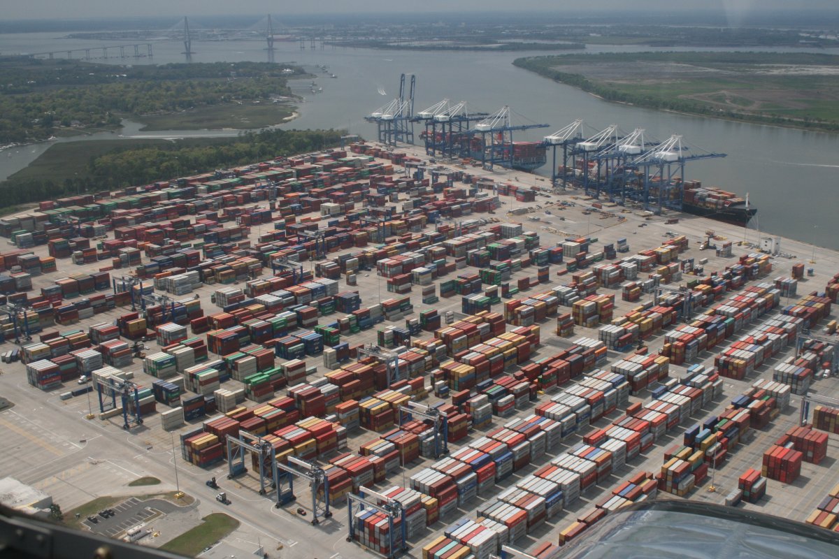
The Port of Charleston on the Wando River.
|
| |
 |
|
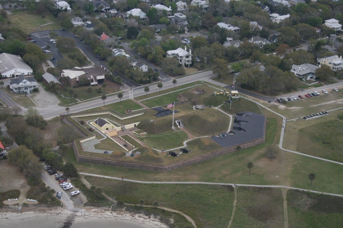
| Passing by Fort Moultrie on the north side to the entrance to Charleston Harbor: Sullivan's Island. This fort was first started by South Carolina patriots in 1776. |
| |
 |
|
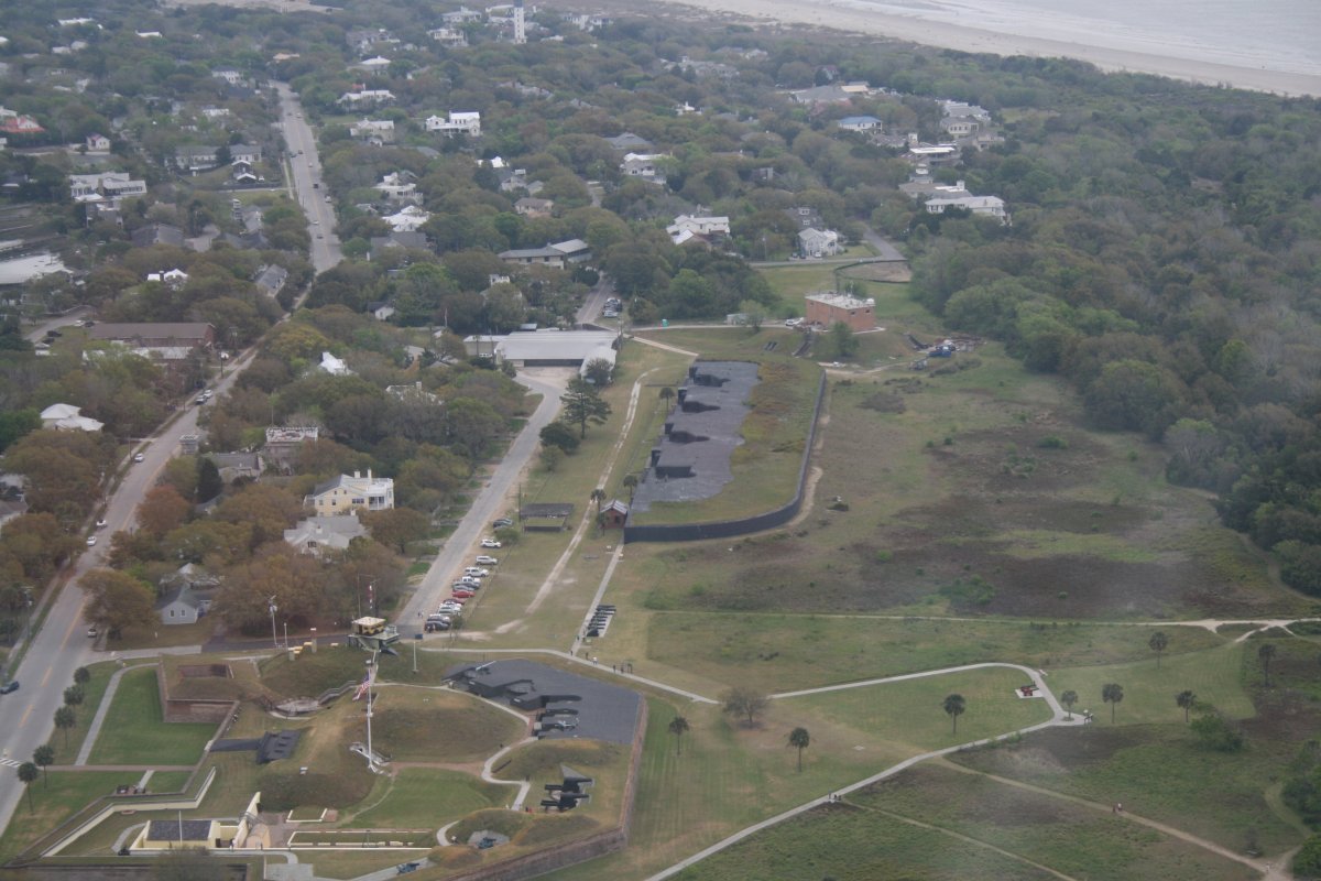
| And the nearby Battery Jasper which is an extention of Fort Moultrie. |
| |
 |
|
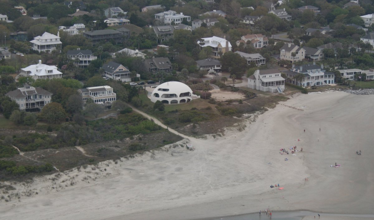
| It may be functional but it is ugly architecture. |
| |
 |
|
|
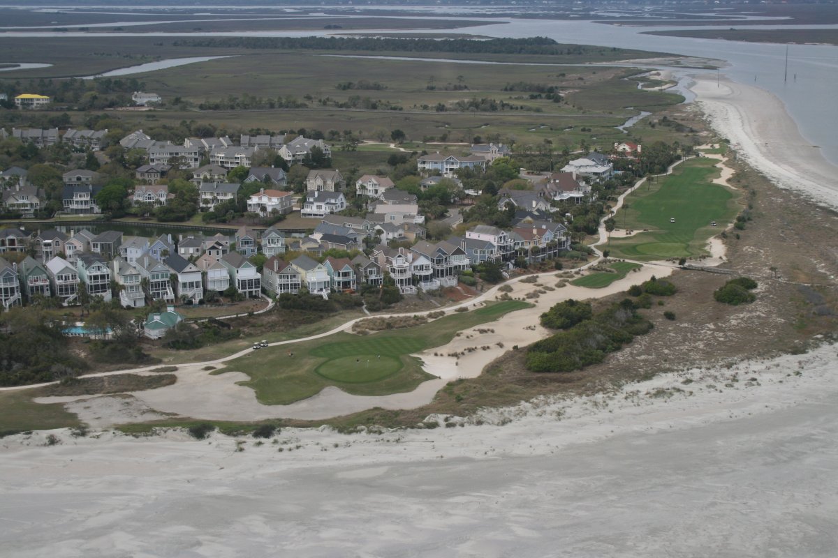
Some nice beach houses at the north end of Isle of Palms over looking part of the Wild Dunes Links golf course.
|
| |
 |
|
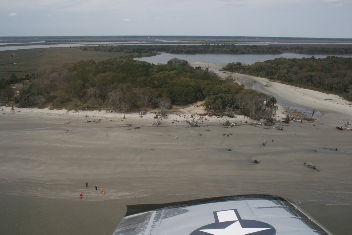
| The next three islands after Isle of Palms are uninhabited. But some kayakers have this one to themselves, at least until I came along. |
| |
 |
|
|
|
| |
 |
|
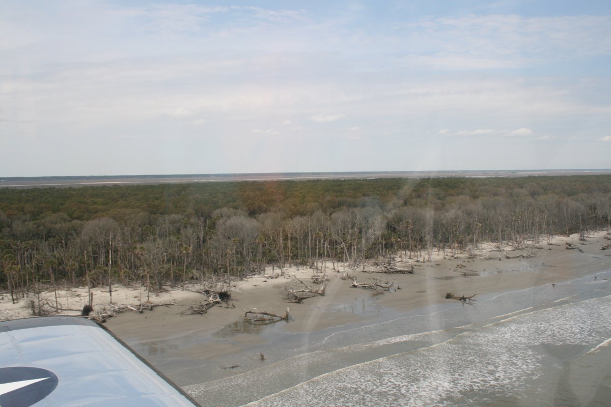
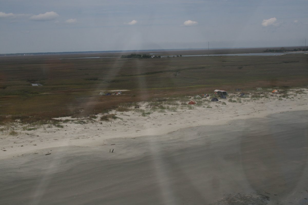
| People camping on this one. |
| |
 |
|
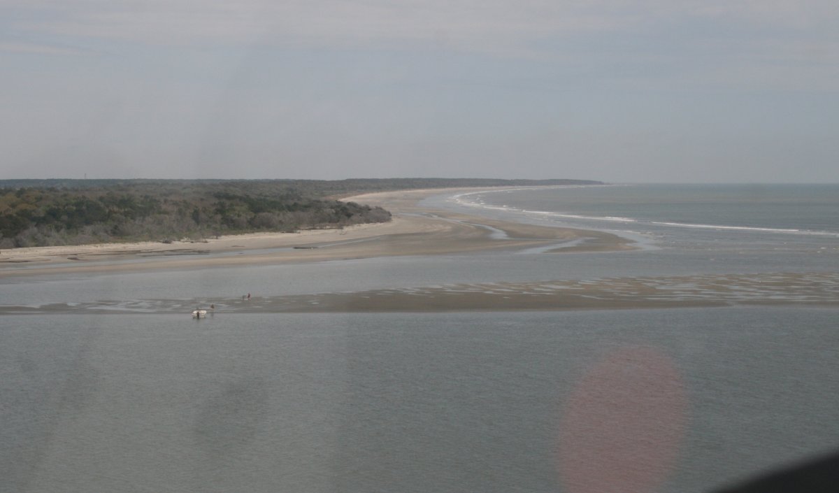
| Great place to have a boat. That is clear. |
| |
 |
|
| |
| |
 |
|
|
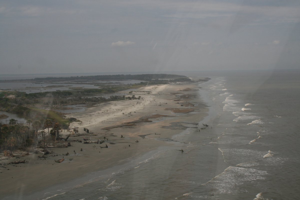
Near the end of the last island, about to fly over Bulls Bay.
|
| |
 |
|
| |
| |
|
|
|
|
|
|


