Florida Vacay - Flight Home Part I - April 2019
|
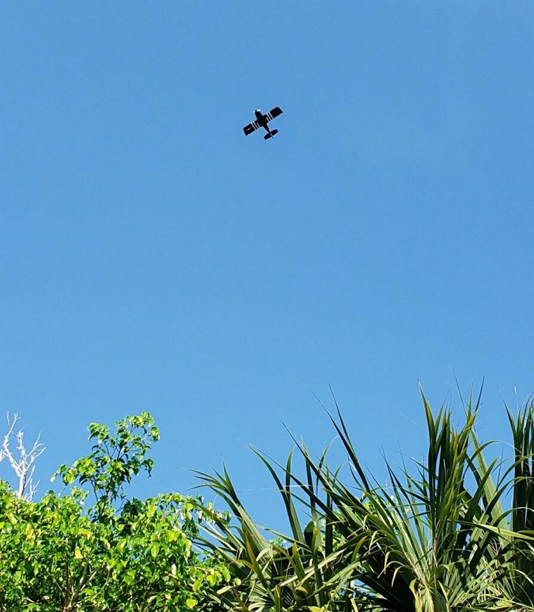
| All too quickly, our week in Florida was over and it was time to head for home. Bruce dropped me off at the airport, I took off, and headed back over to the house. Lynnette took this shot of my circling overhead the house. You know, after all this time, I had forgotten that my plane is all black, when looking from the ground. |
| |
 |
|
|
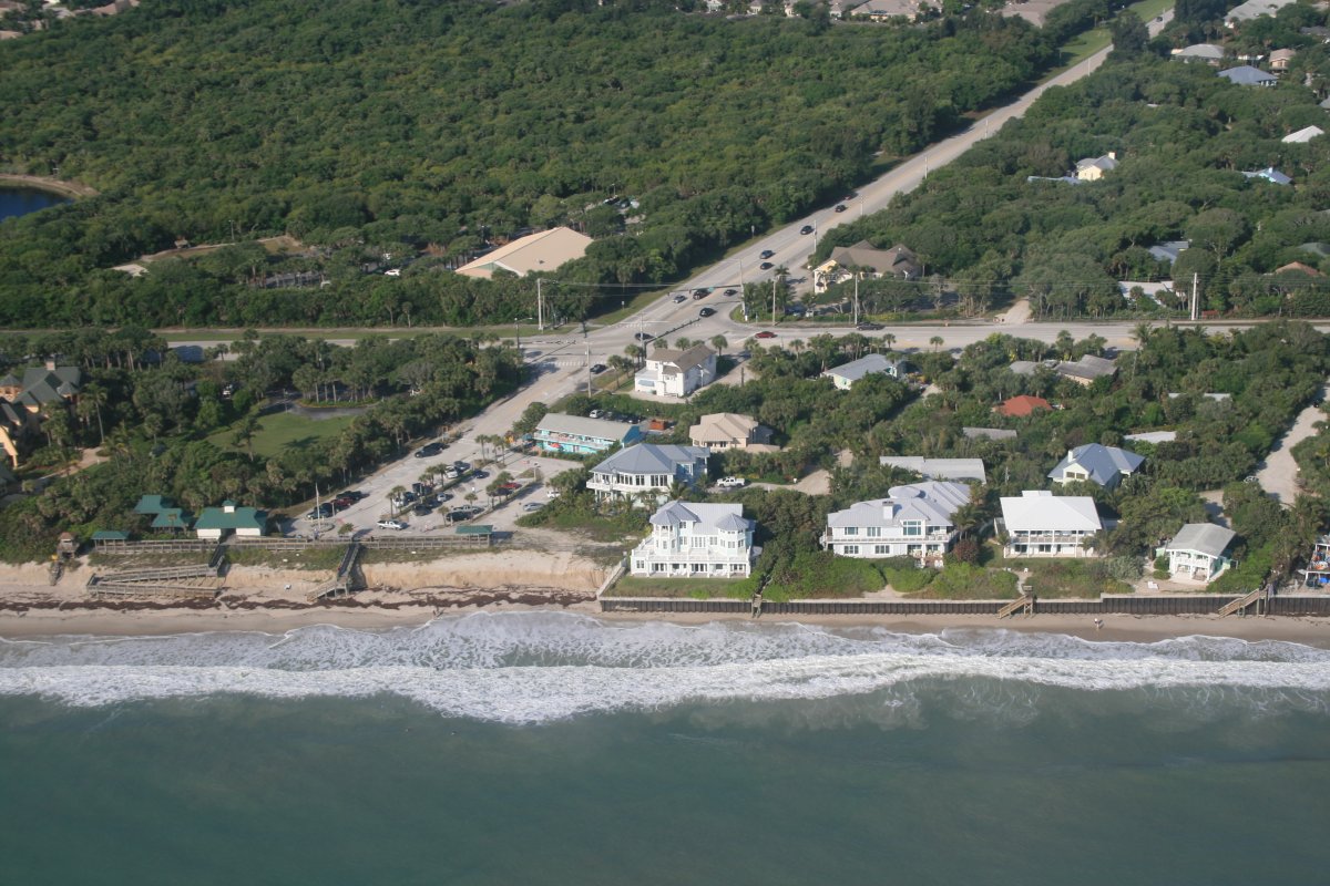
Looking down at Wabasso Beach Park.
|
| |
 |
|
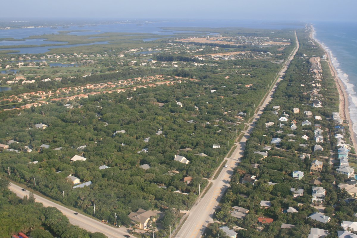
| The house we stayed at is on the left side A1A -- thee road heading north -- about five streets up. |
| |
 |
|
|
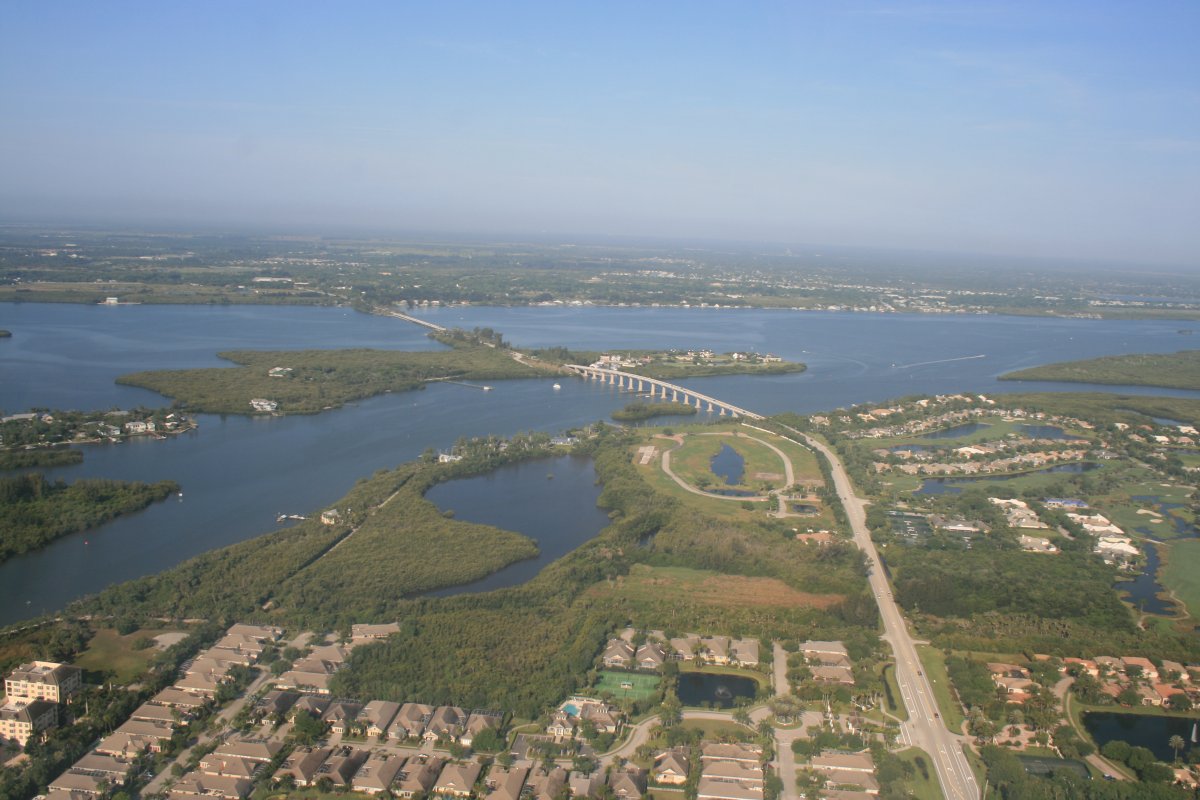
The bridges across the Indian River to Wabasso Beach.
|
| |
 |
|
| This was the view from that bridge yesterday early evening! |
| |
 |
|
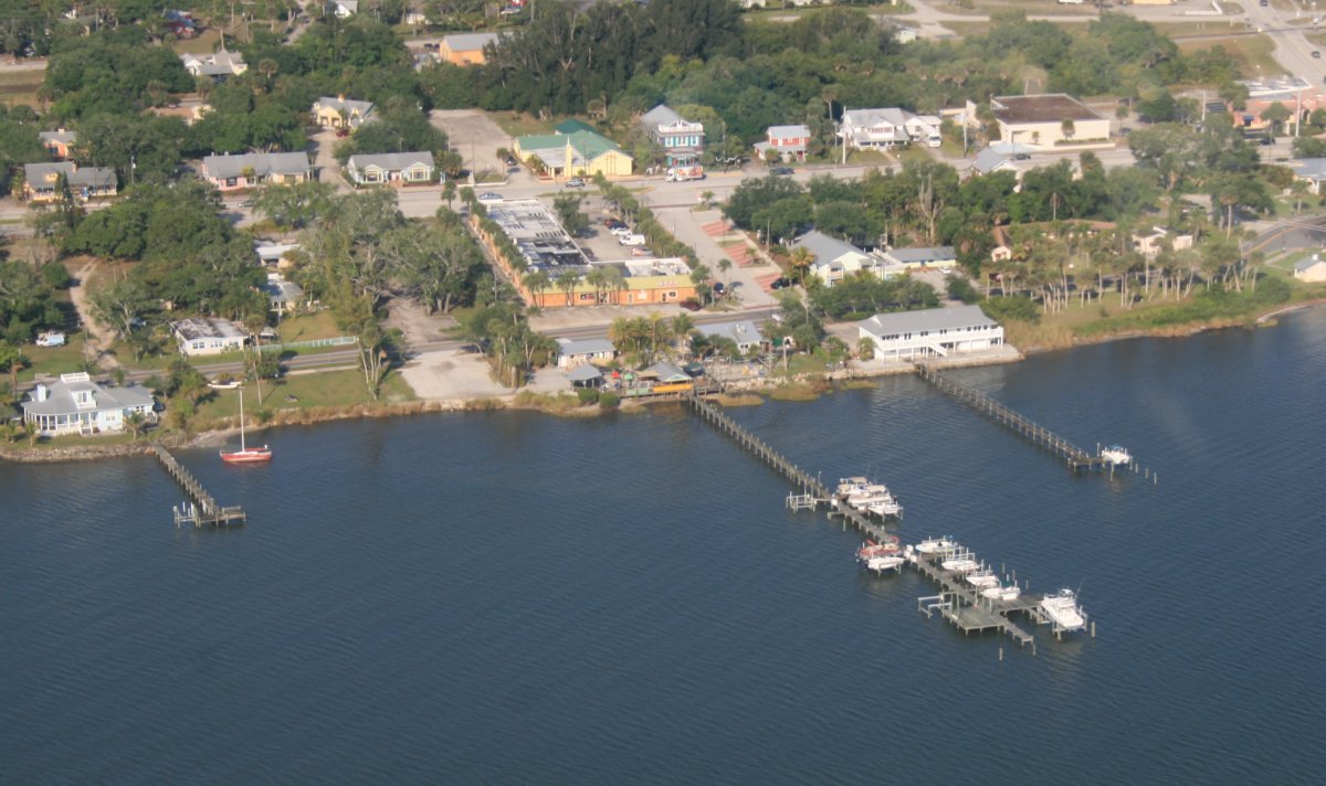
| The Tiki Bar & Grill. |
| |
 |
|
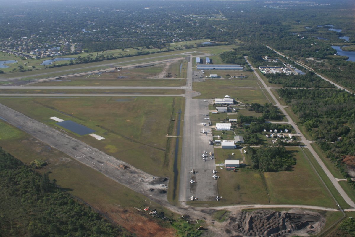
| One last look at Sebasian Airport. |
| |
 |
|
|
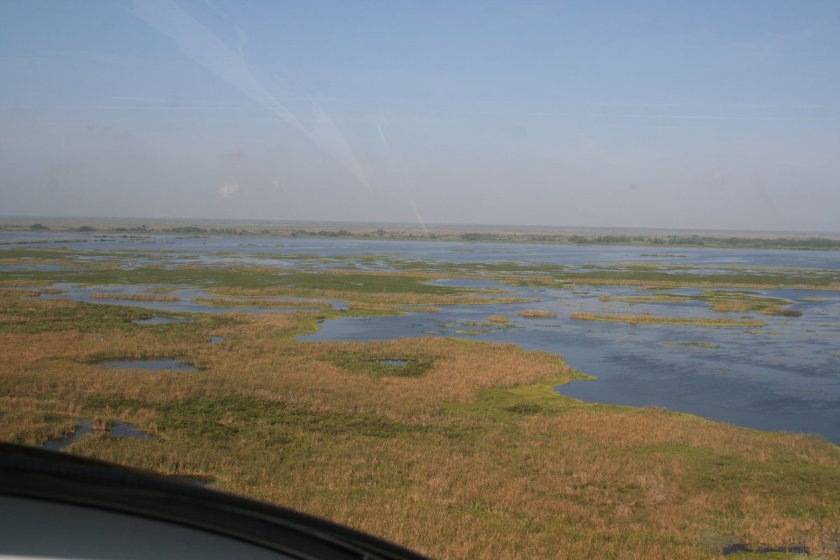
I headed west and it didn't take too long to get over the marshlands.
|
| |
 |
|
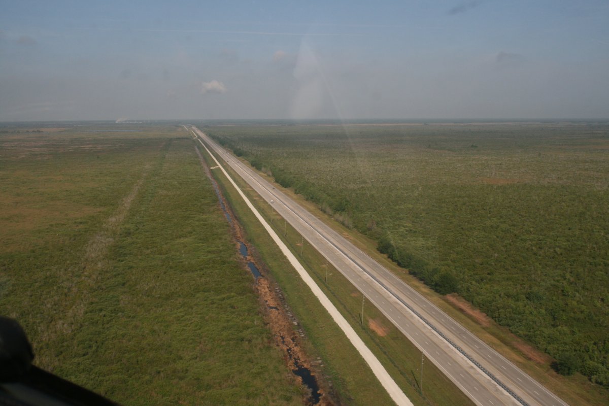
| A lonely highway through the marsh. |
| |
 |
|
|
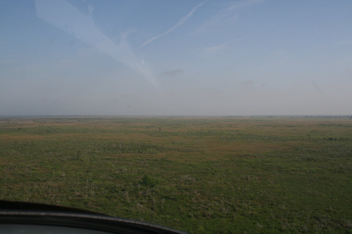
A whole lotta nothing out here.
|
| |
 |
|
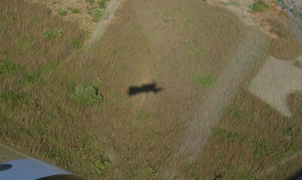
| I'm being shadowed! |
| |
 |
|
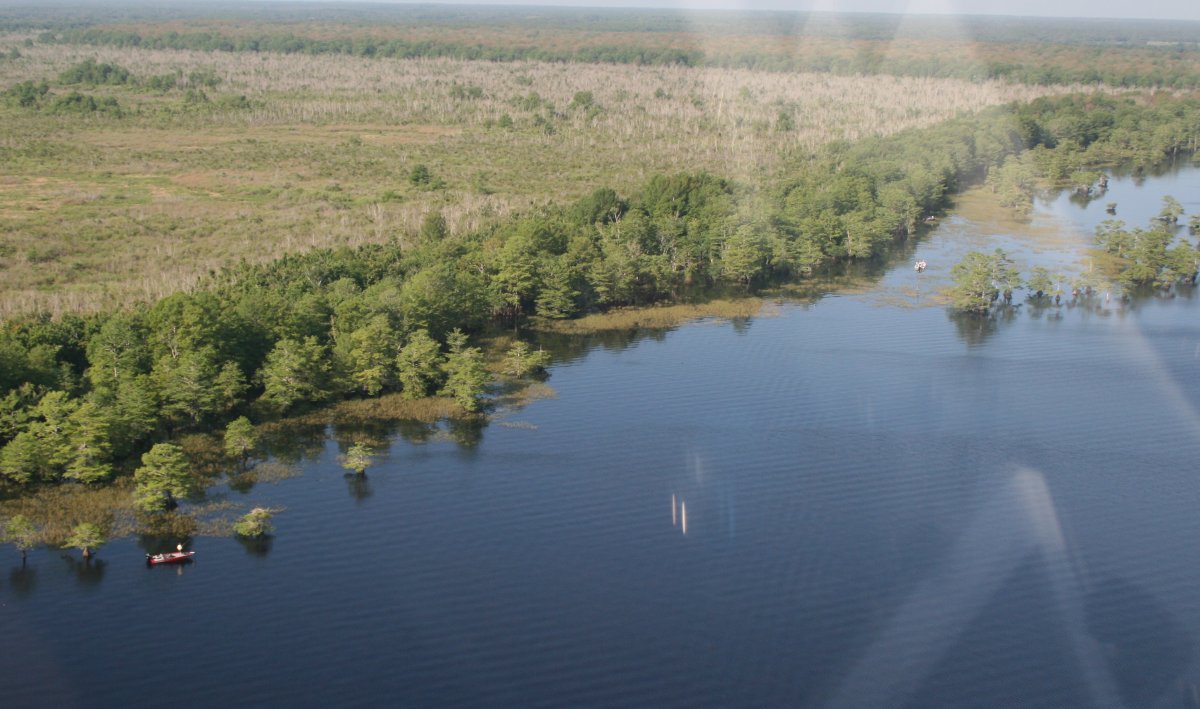
| Some anglers enjoying the outdoors. |
| |
 |
|
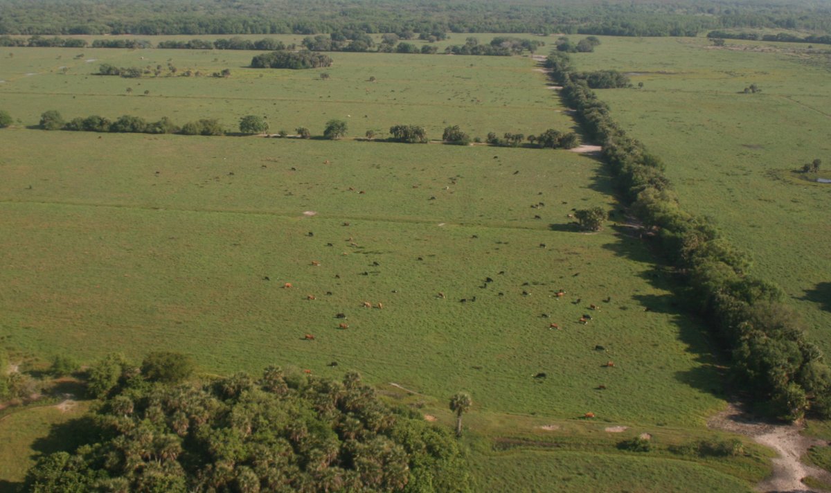
| This would be a great place to be a cow I would think. |
| |
 |
|
|
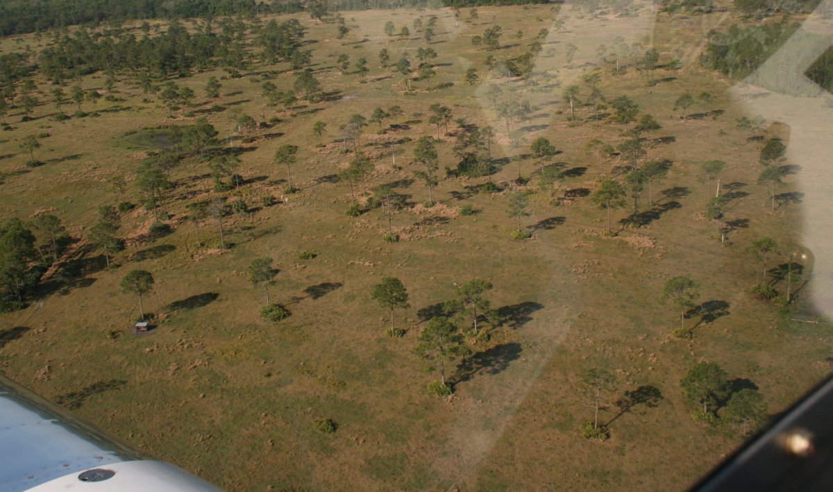
Lots of different types of country, but they all have one thing in common, little to no civilization.
|
| |
 |
|
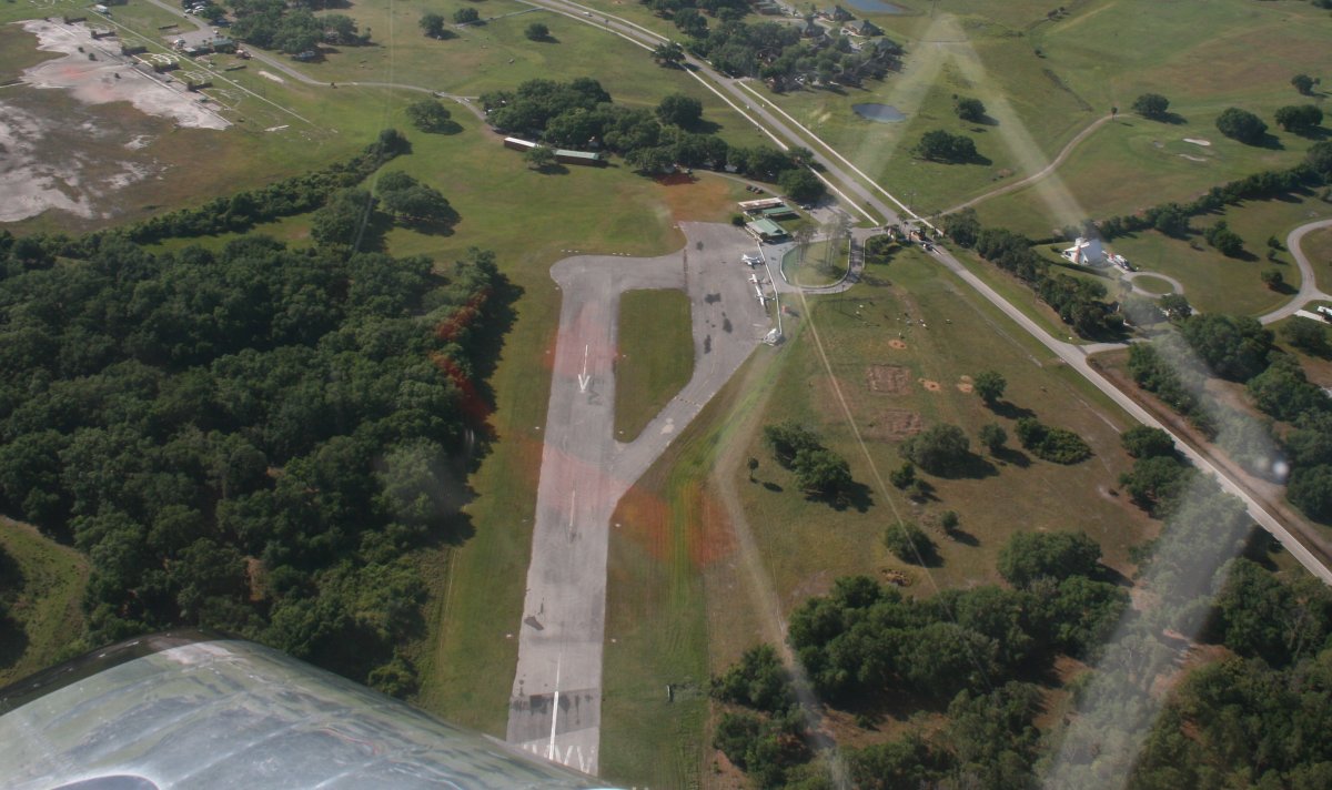
| The self-service fuel pump at Sebastian wasn't working, so I stopped at the River Ranch Resort (2RR) to get fuel. |
| |
 |
|
|
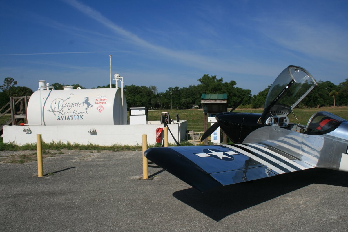
There wasn't much here, not even a restroom, but the self-service fuel pump worked, and that was all I needed.
|
| |
 |
|
|
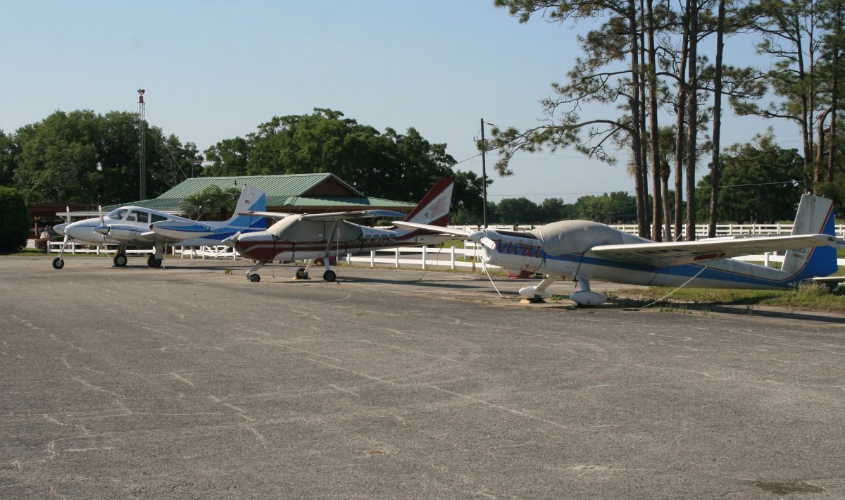
The three planes tied down don't look like they fly much. The one in the middle had flat tires. I walked over to the building but it was all locked up. Nobody was around. I fueled up and departed.
Later on, I looked this place up on Trip Adviser and found the following: Westgate River Ranch Resort and Rodeo: Nestled on 1,700 beautiful acres in Central Florida and just an hour from Orlando, Westgate River Ranch provides fun and adventure for the entire family! The perfect backdrop for your vacation getaway, Westgate River Ranch is the premier dude ranch near Orlando, FL and boasts Western-themed accommodations, an abundance of recreational activities, and unique opportunities for families and friends to spend quality time with each other, all in a unique ranch resort experience. The wide range of recreational activities at Westgate River Ranch include horseback riding, nature hikes, fishing, swimming, boating, airboat and swamp buggy rides, trap and skeet shooting, hayrides, cookouts, a petting farm and more! If you’re looking for a real cowboy ranch and Florida rodeo, make Westgate River Ranch your first stop for fun!
Sounds pretty good!
|
| |
 |
|
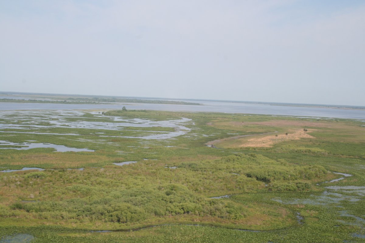
| Back out over the marshes and lakes. |
| |
 |
|
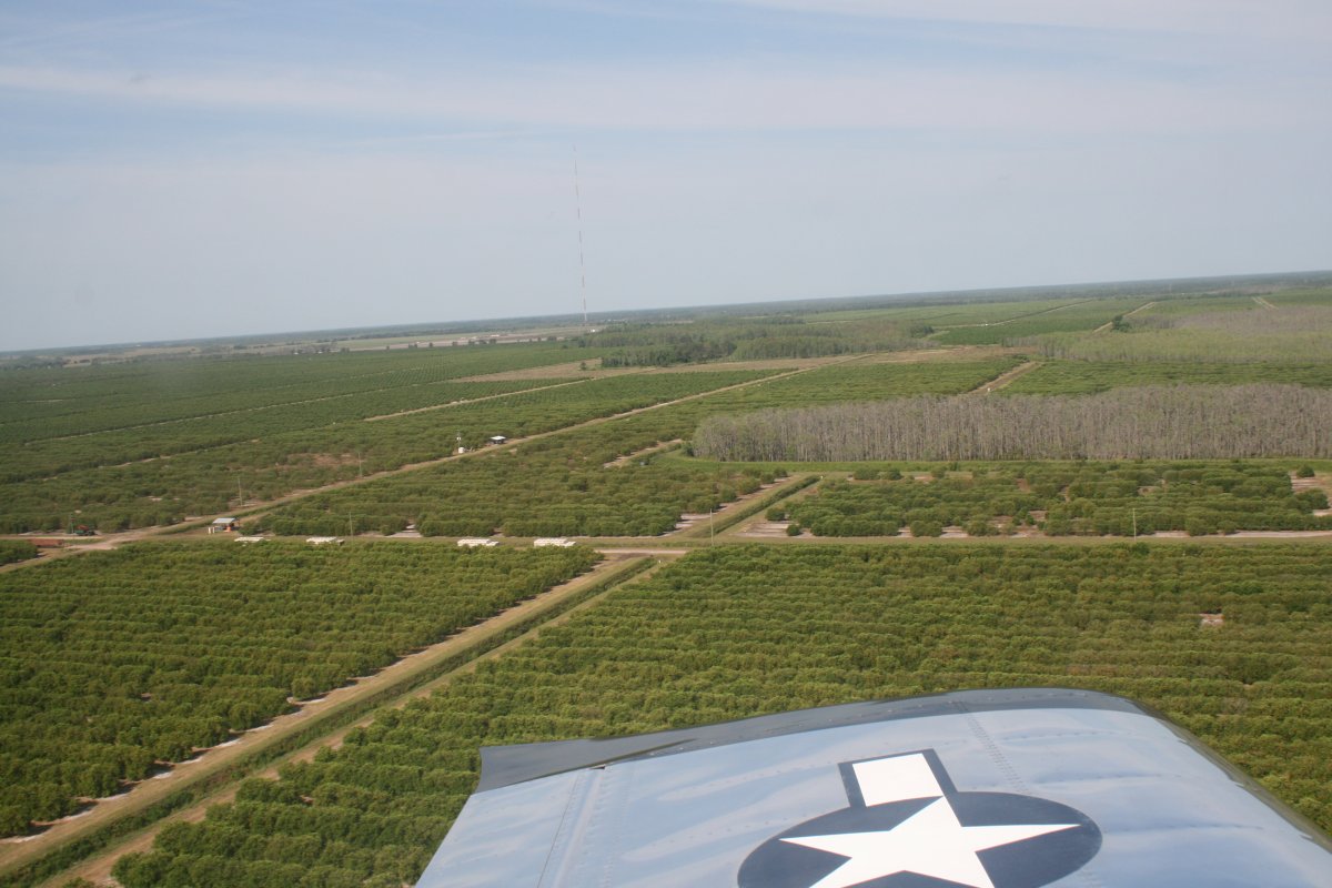
| Passing over a sea of Orange trees. When I was a kid, Florida was famous for its oranges, but you don't hear that anymore. But maybe it is still true. |
| |
 |
|
|
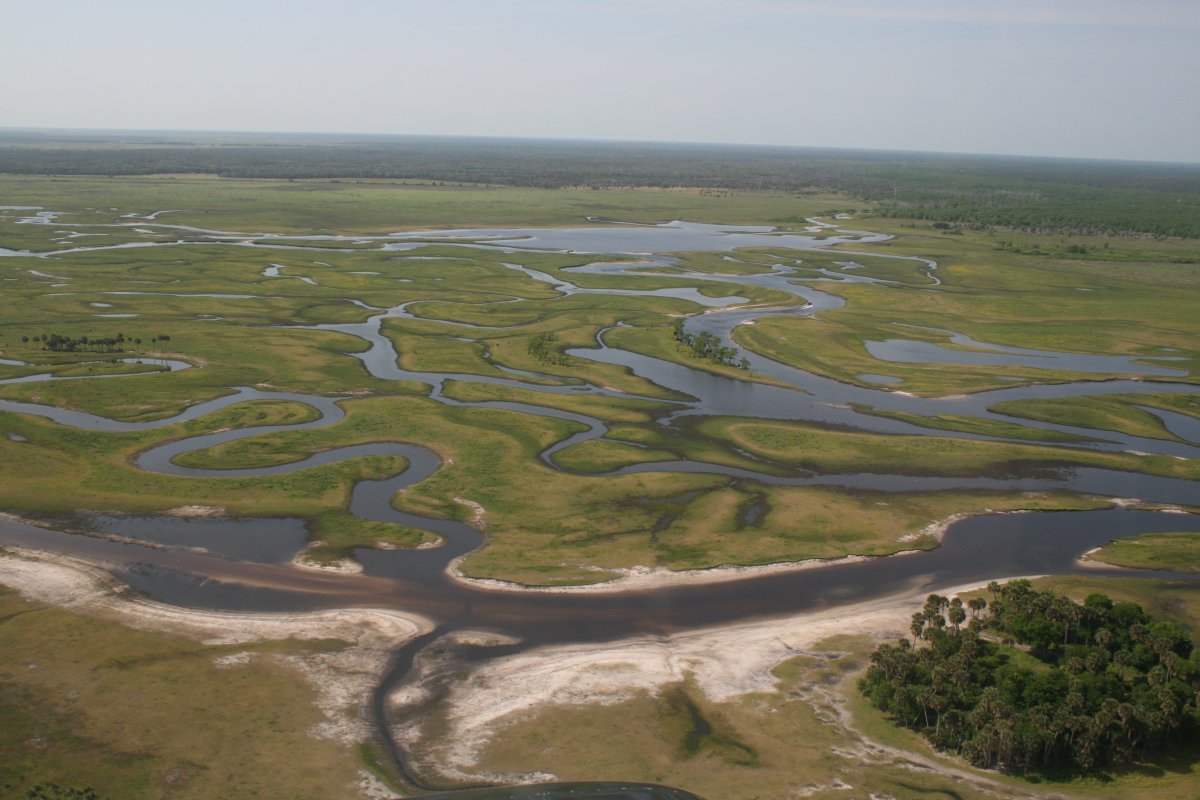
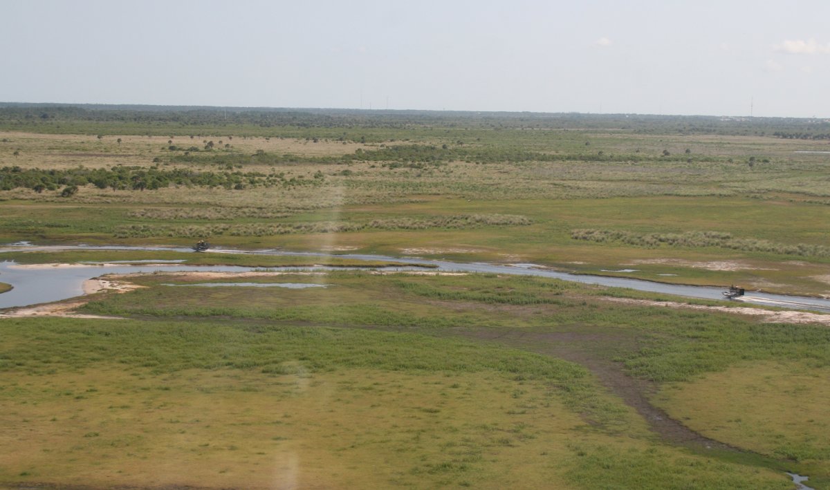
I was heading for the NASA Shuttle Landing Airport (KTTS) to do a low pass down their 15,000 foot runway. To the west of it I overflew this really pretty area of grass and water. It might be the St. John's river. Anyways, I flew around it for a few minutes.
|
| |
 |
|
| A couple of airboats enjoying the delta. |
| |
 |
|
|
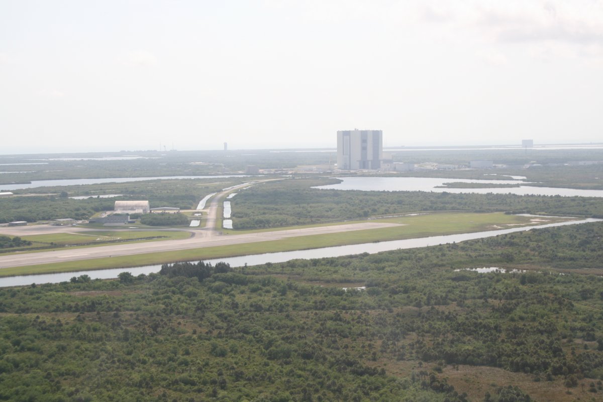
Then I headed east to the NASA Shuttle runway. It is in a restricted area, but I had confirmed the area was cold today. The runway (airport?) also has a control tower, but it is not manned. Pilots use the tower frequency as a unicom freq. I had done a low-pass down this runway on my Bahamas trip back in 2013. Has it really been that long ago?! Then it was north to south. So this time I did it south to north. Here, I am turning left downwind for runway 33. The NASA Vehicle Assembly Building (VAB) is hard to miss in the background.
|
| |
 |
|
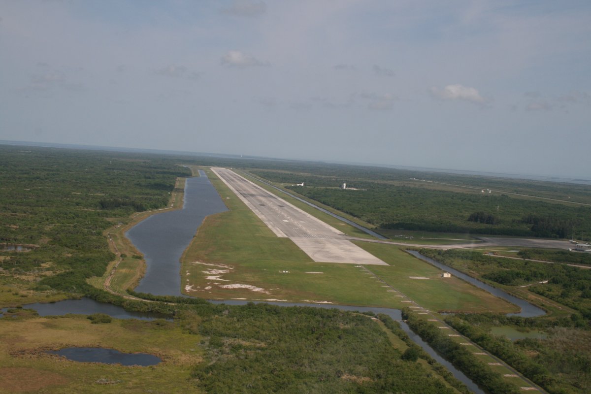
| Turning a diving base to final for 33. I had the runway to myself. You are allowed to make low-passes but you can't land. I don't think you would want to anyways because supposedly the surface is very hard on tires. Not a problem for the Shuttle since they changed them after one landing. |
| |
 |
|
|
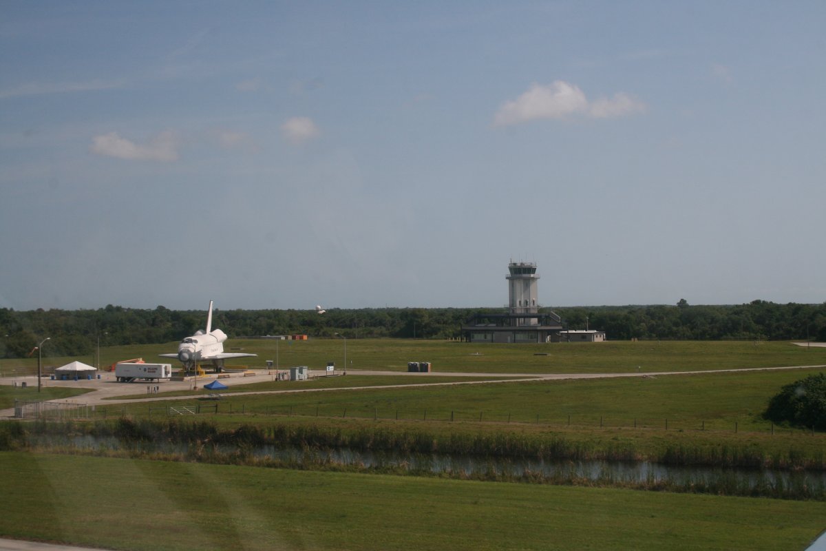
Five minutes later, halfway down the runway, checking out the tower and a fake shuttle. I guess it is fake.
|
| |
 |
|
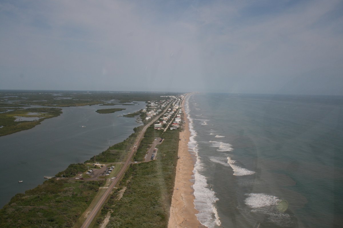
| Now I'm on the east coast where I will be for most of the rest of the day. |
| |
 |
|
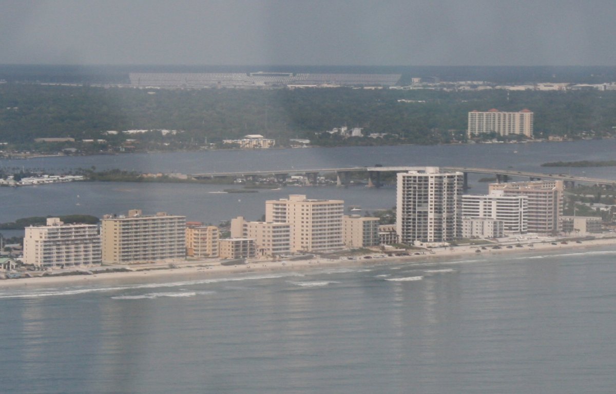
| Passing by Daytona. The Daytona speedway bleachers are visible in the distance. |
| |
 |
|
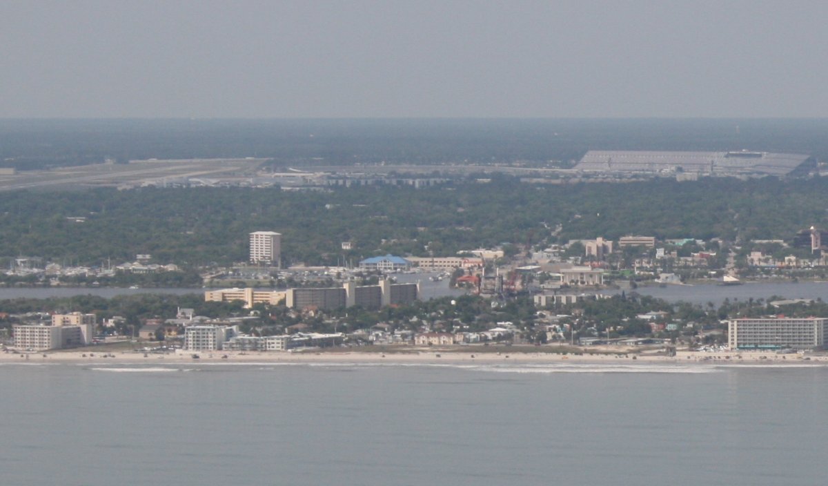
| Another look with the speedway bleachers on the right and Daytona Beach International Airport on the left. I'm out over the water a little bit to stay out of Daytona's airspace. |
| |
 |
|
|
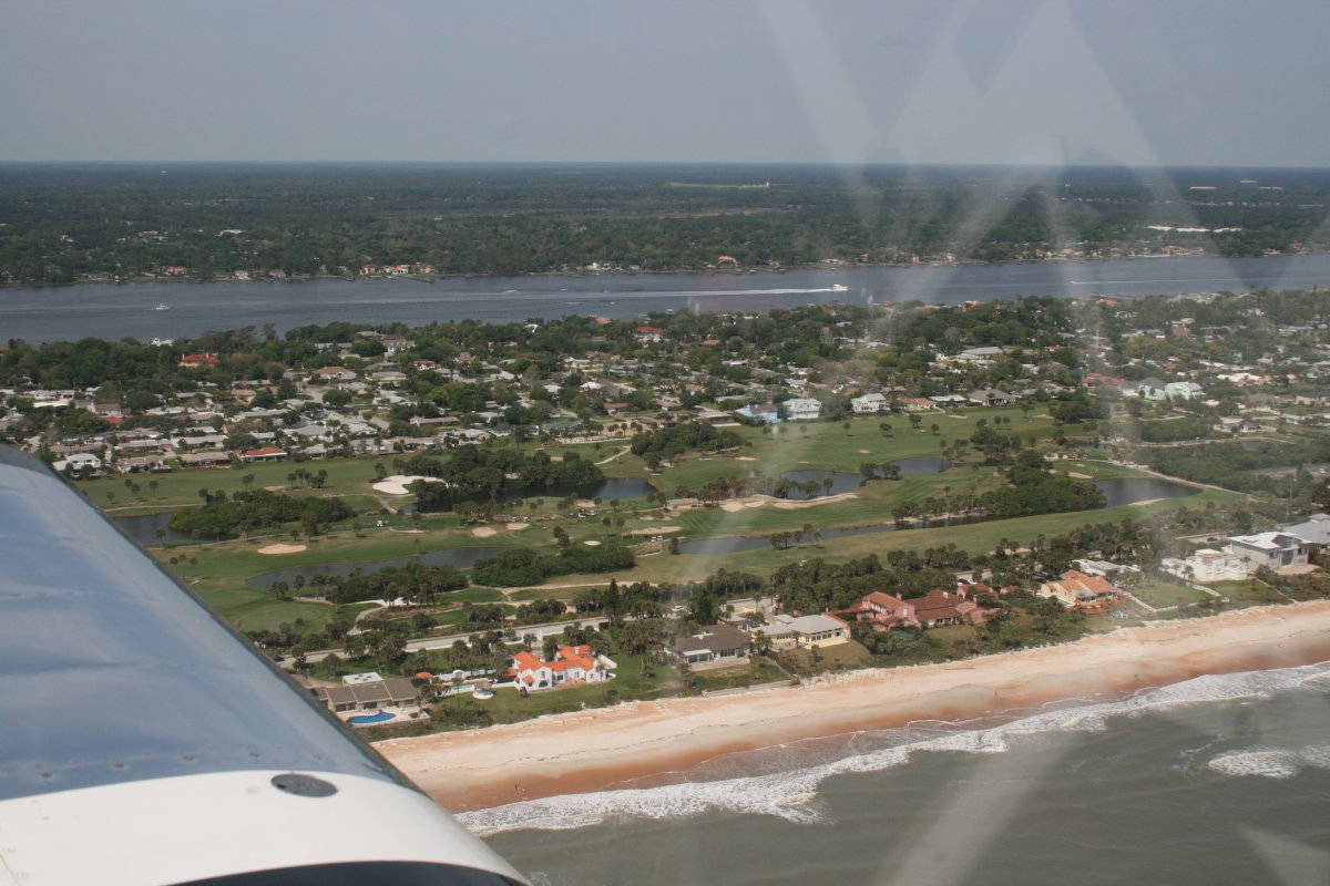
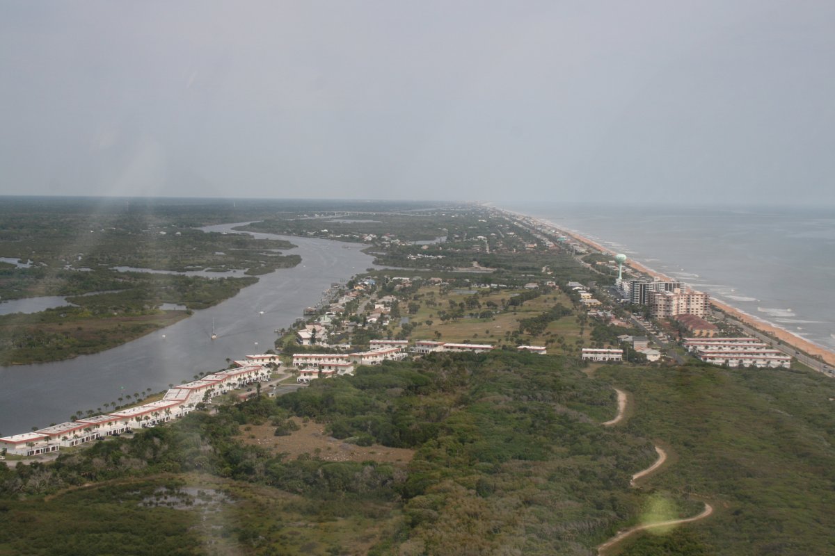
Typical Florida east coast: Ocean, beach, nice beach houses, golf course, more houses, inland waterway.
|
| |
 |
|
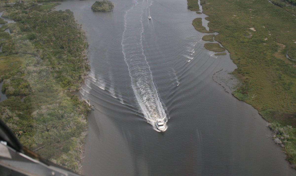
| Motorboat cruising up the inland waterway. |
| |
 |
|
|
|
| |
 |
|
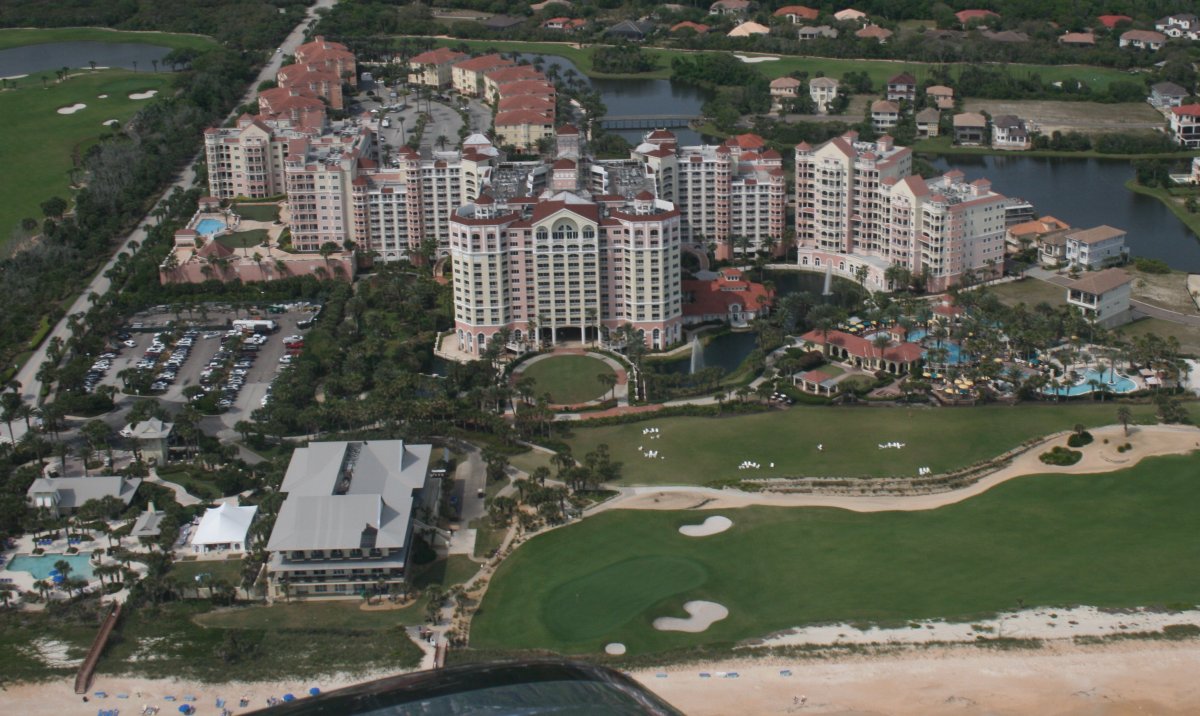
| Big Condo/Apartment complex with nice pool, golf, waterview. |
| |
 |
|
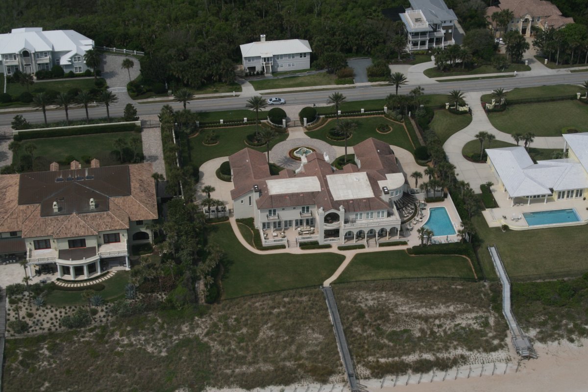
| Beautiful house on the beach. |
| |
 |
|
|
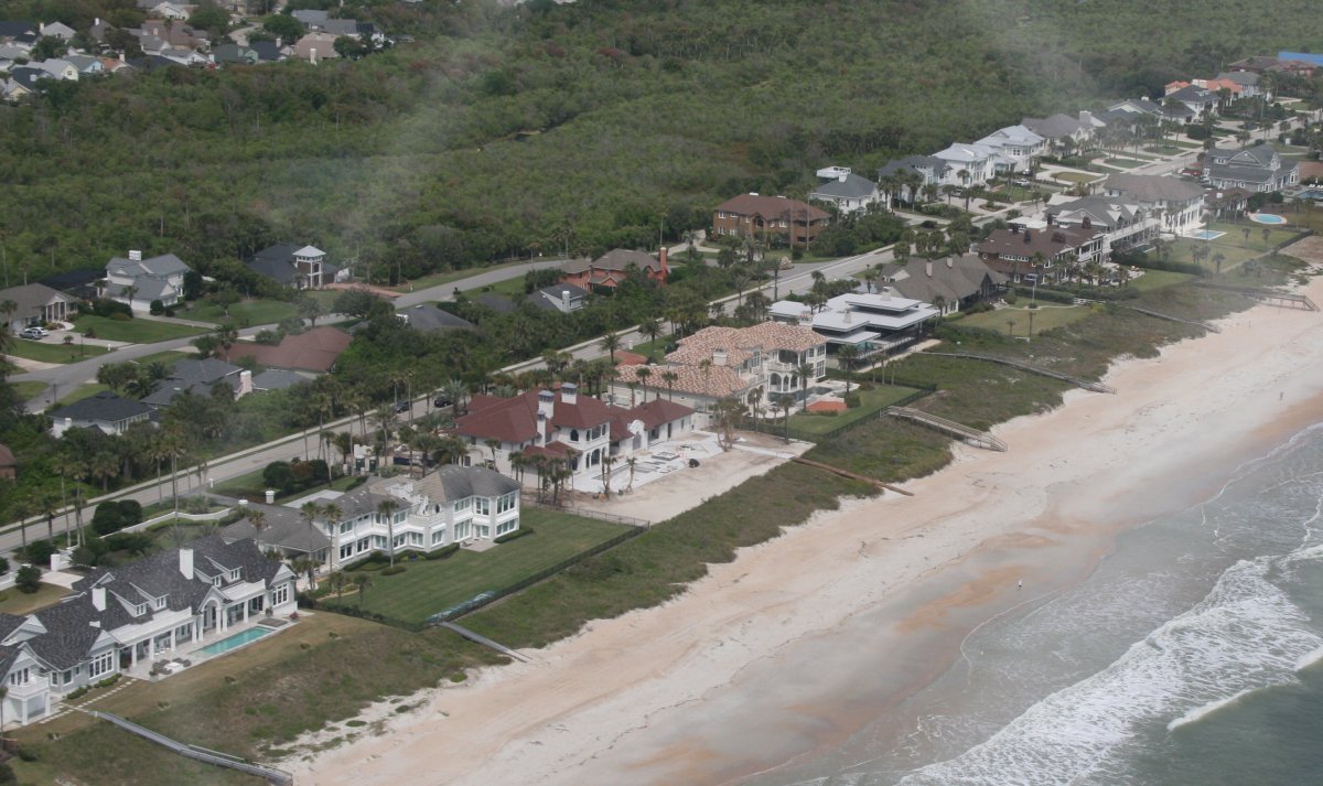
More awesome houses.
|
| |
 |
|
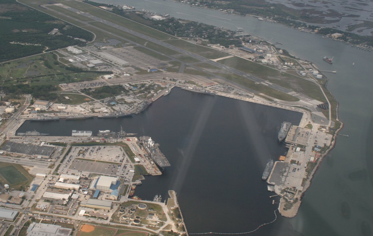
| Passing by Mayport Naval Station and Mayport Naval Air Station at top. |
| |
 |
|
|
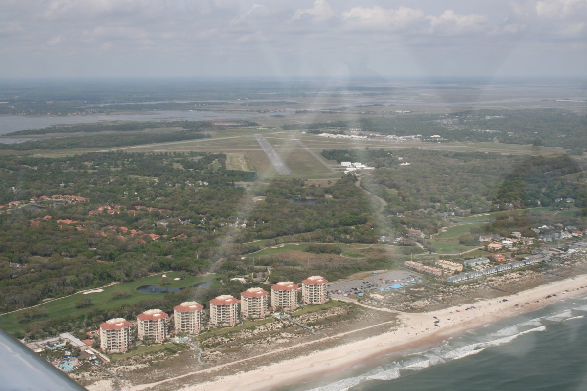
Passing by Fernandina Beach airport (KFHB). I landed there in the Citabria back in 2005 on my way to Sun 'N Fun and spent the night. It was a two day trip from Baltimore to Lakeland in the old Citabria. The RV: six hours.
|
| |
 |
|
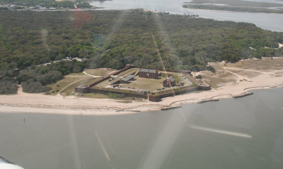
| Fort Clinch guards the entrance to the St. Marys river and Cumberland Sound at the top of Amelia Island and Fernandia Beach. The St. Mary river is part of the Florida - Georgia border. It was first fortified in 1736 by the Spanish. |
| |
 |
|
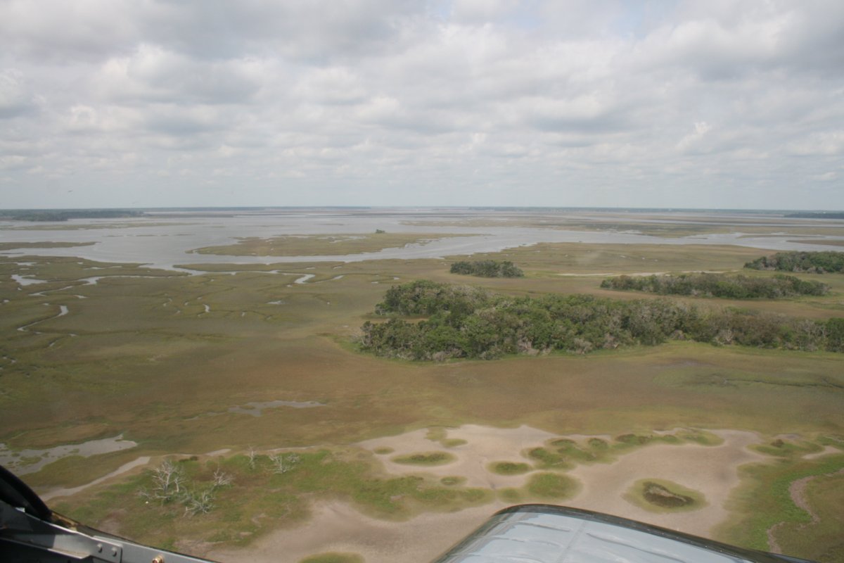
| I went inland a little bit to have fun flying over all the water and marsh on the west side of Cumberland Island. |
| |
 |
|
| |
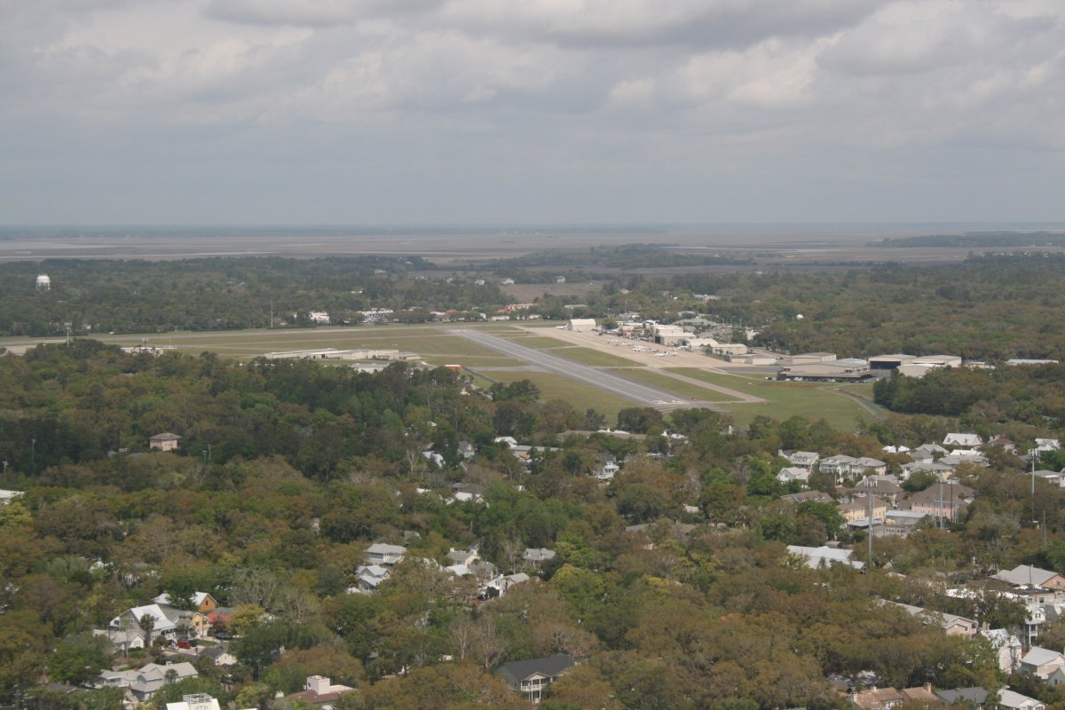
| Passing by Mckinnon airport (KSSI) on St. Simons island. I also stopped here for fuel on that 2005 Citabria trip. |
| |
 |
|
|
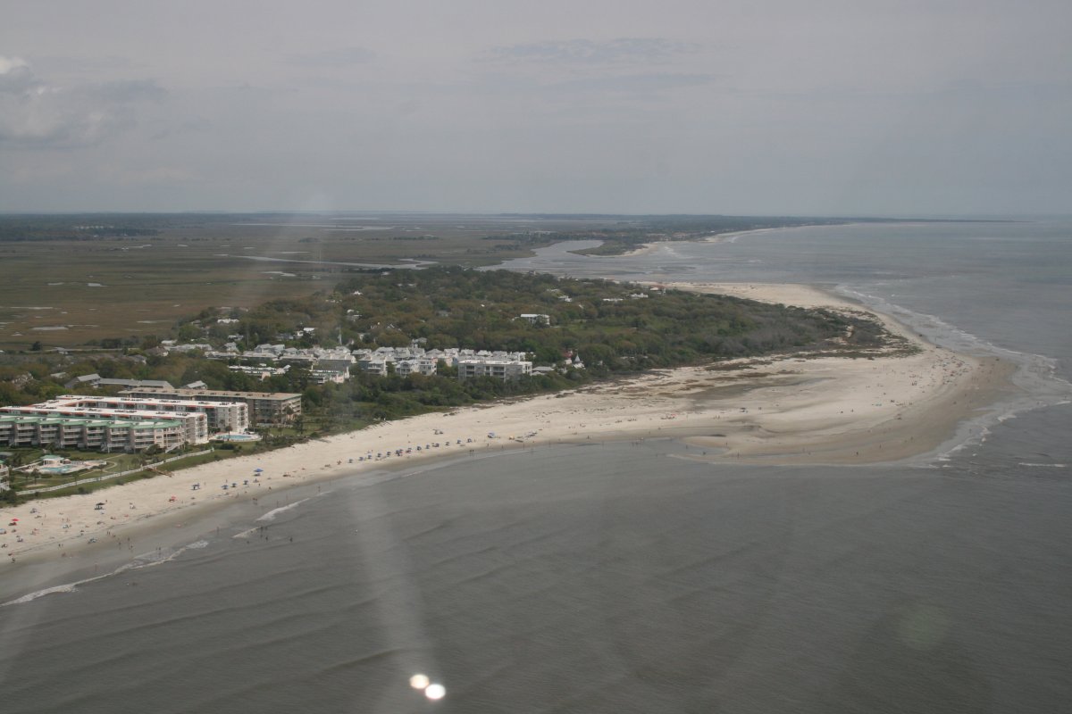
Nearby St. Simons east beach.
|
| |
 |
|
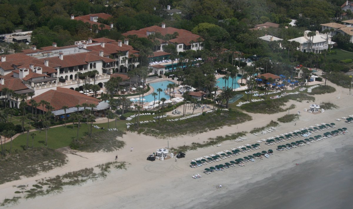
| Further up the coast, I started seeing some awesome real estate on Sea Island. This is the Sea Island Beach Club. (hat tip to Google Maps) Apparently Sea Island is a privately owned, gated community, similar to Kiowa Island south of Charleston, SC. |
| |
 |
|
|
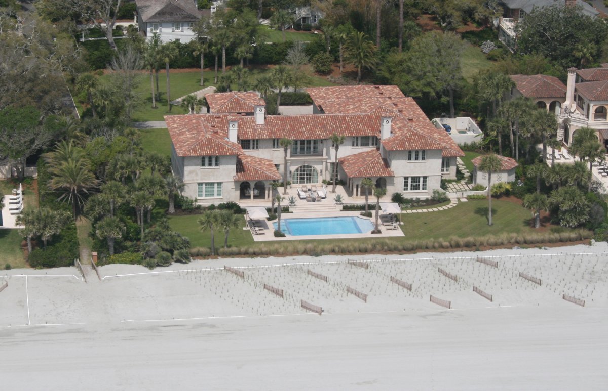
Nice.
|
| |
 |
|
| I'll take the one on the right. But it needs a pool. |
| |
 |
|
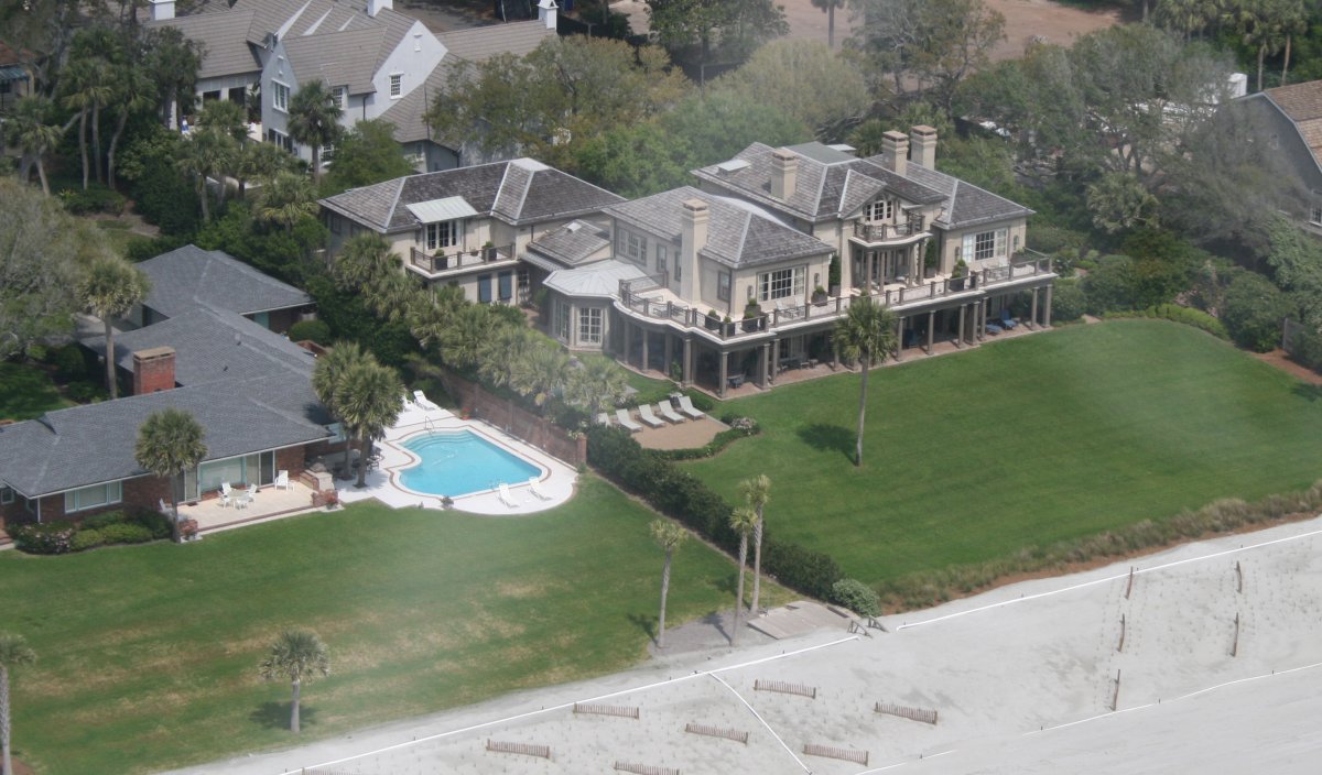
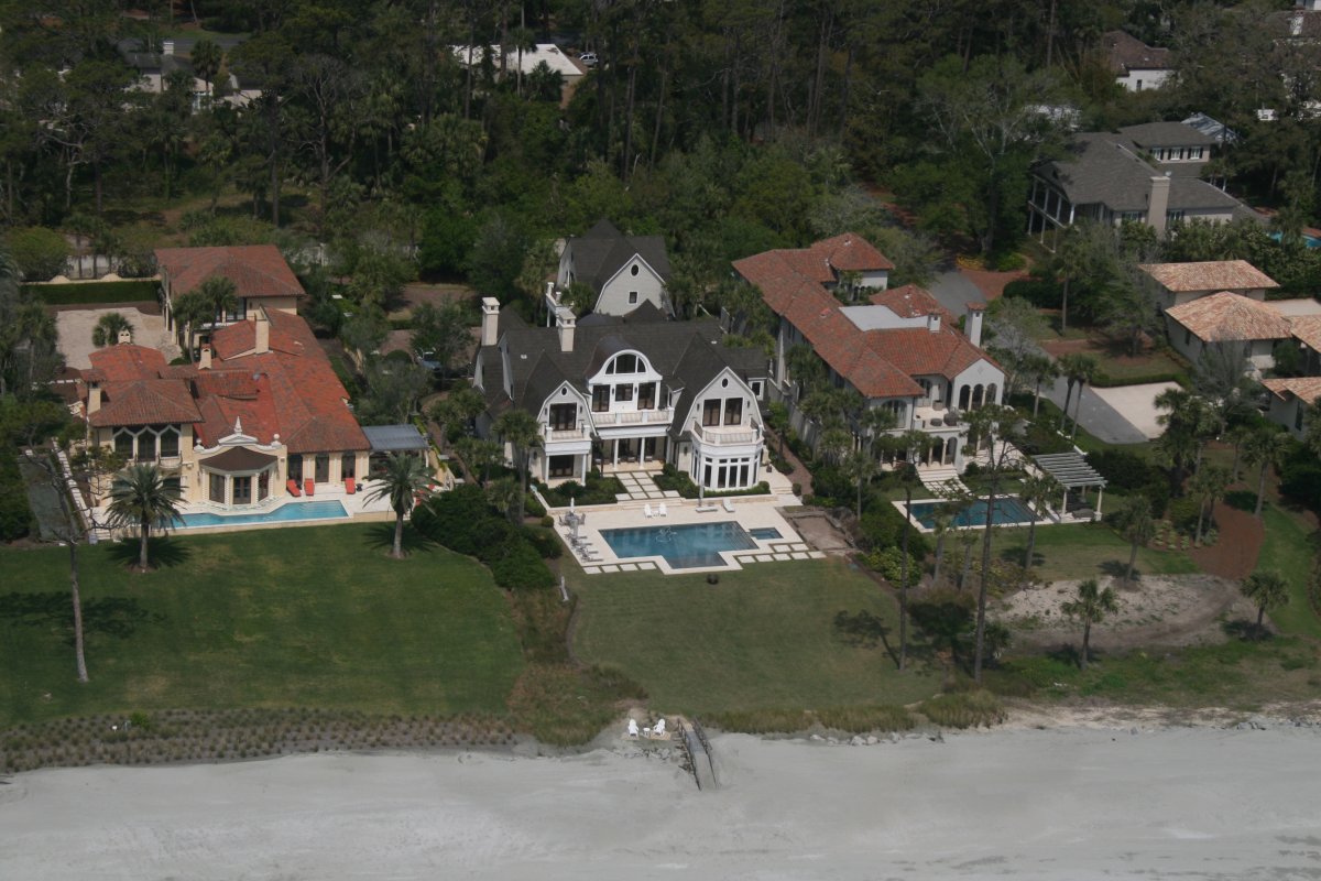
| Any of these works for me. |
| |
 |
|
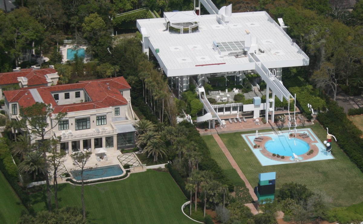
| I don't doubt it is comfortable but from the air, the architecture of the house on the right -- it seems like "house" isn't the right word -- doesn't work for me. |
| |
 |
|
|
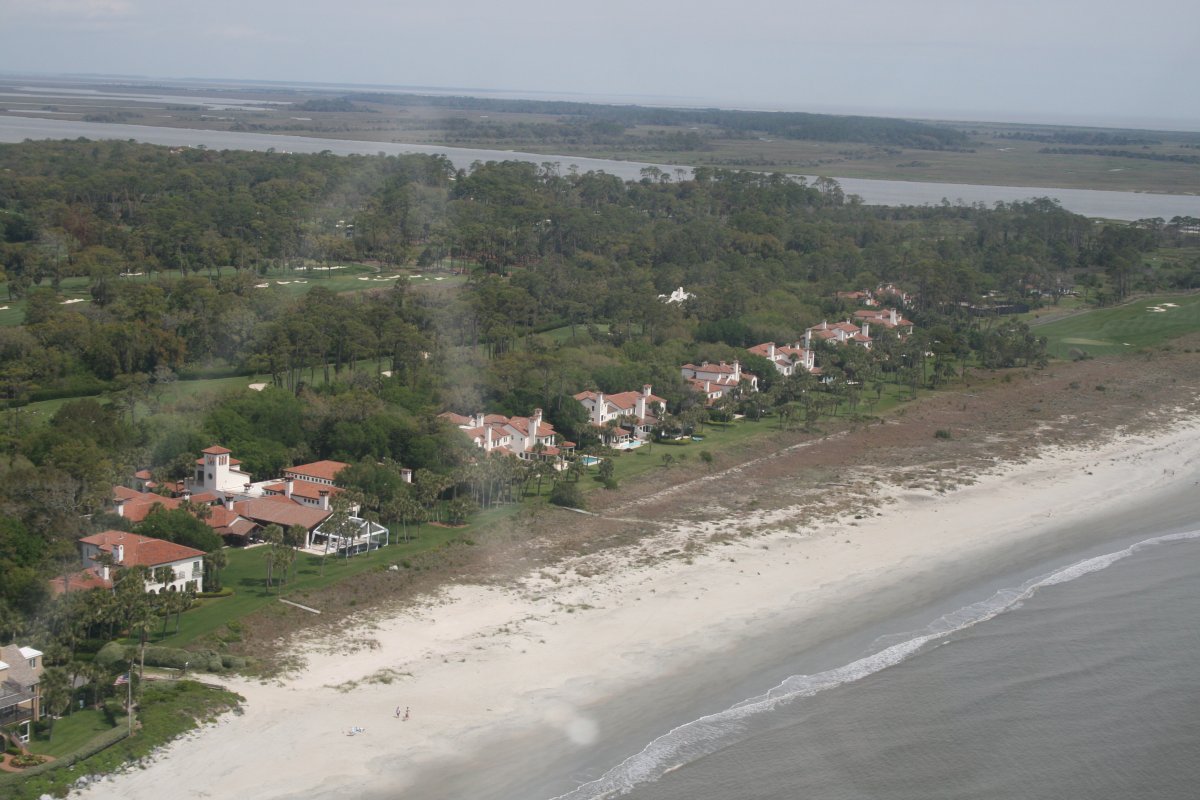
The northern end of Sea Island with the Ocean Forest Golf Club.
|
| |
 |
|
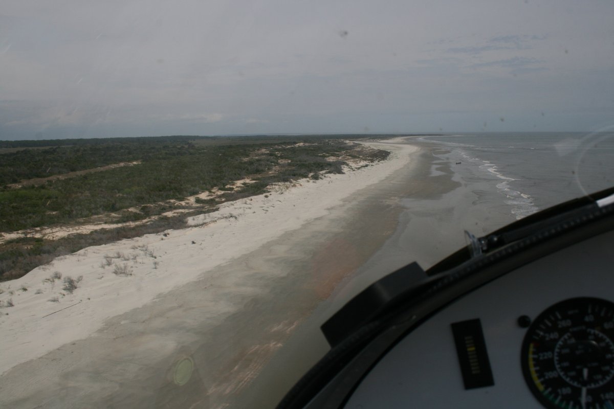
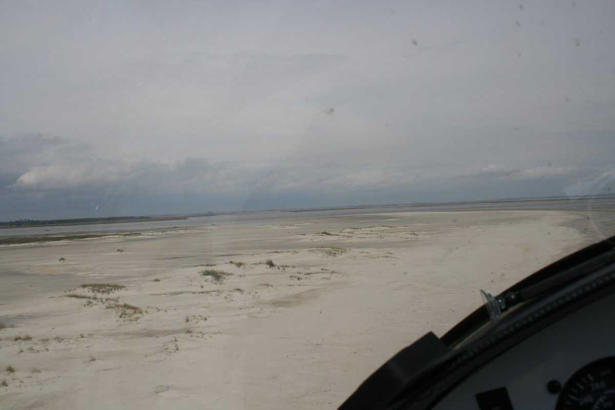
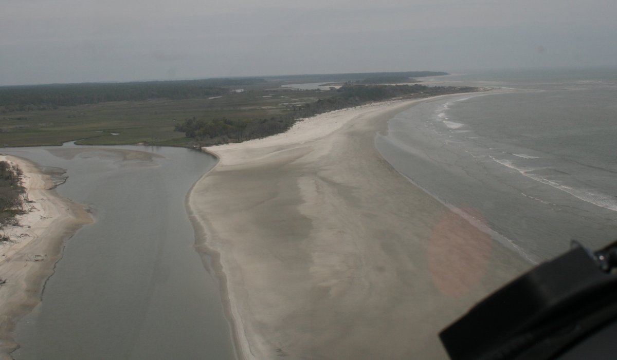
| After Sea Islands, there were a string of uninhabited islands all the way up to the Savannah area. |
| |
 |
|
|
I like uninhabited islands.
|
| |
 |
|
| |
| |
 |
|
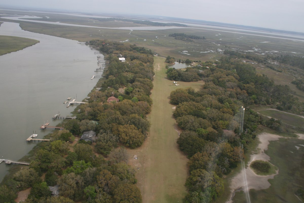
| On the chart, I noticed a private grass strip on Barbour Island, so I went inland a little bit to check it out. It is just alongside Blackbeard creek. |
| |
 |
|
|
I had seen rain ahead on my XM Satellite weather displayed on my Garmin 496, and sure enough, it started clouding up. It didn't look like anything I couldn't get through so I wasn't worred about it.
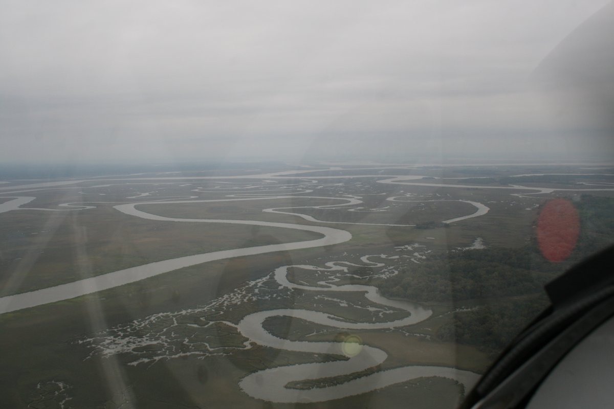
Flying across a marsh to get back to the ocean beach.
|
| |
 |
|
|
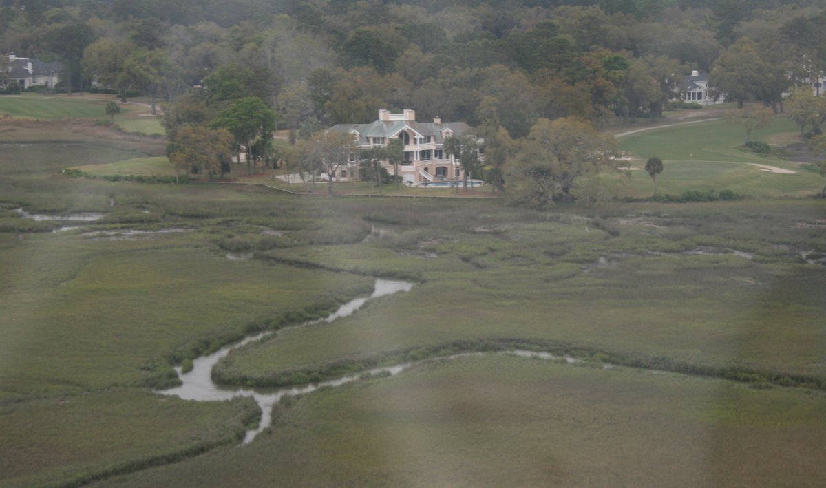
An estate by itself back in the marsh.
|
| |
 |
|
| |
| |
|
|
|
|
|
|


