Florida Vacay - April 2019 - Flight Down |
||||||
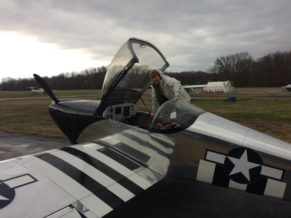
Sunday morning. The plane is loaded up. Lynnette is preparing to board. Lynnette and I are headed down to Sebastian, Florida to stay a week with Bruce and Ellen. |
||||||
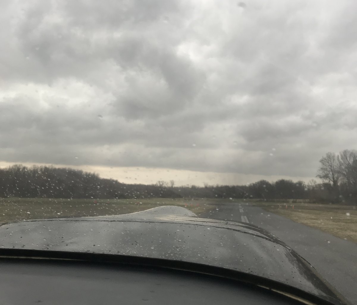
As you can see, the weather isn't the best. In fact, it was actually worse than it looks in this picture. It had started to rain. But the ceiling was 2,500 feet or so.
|
||||||
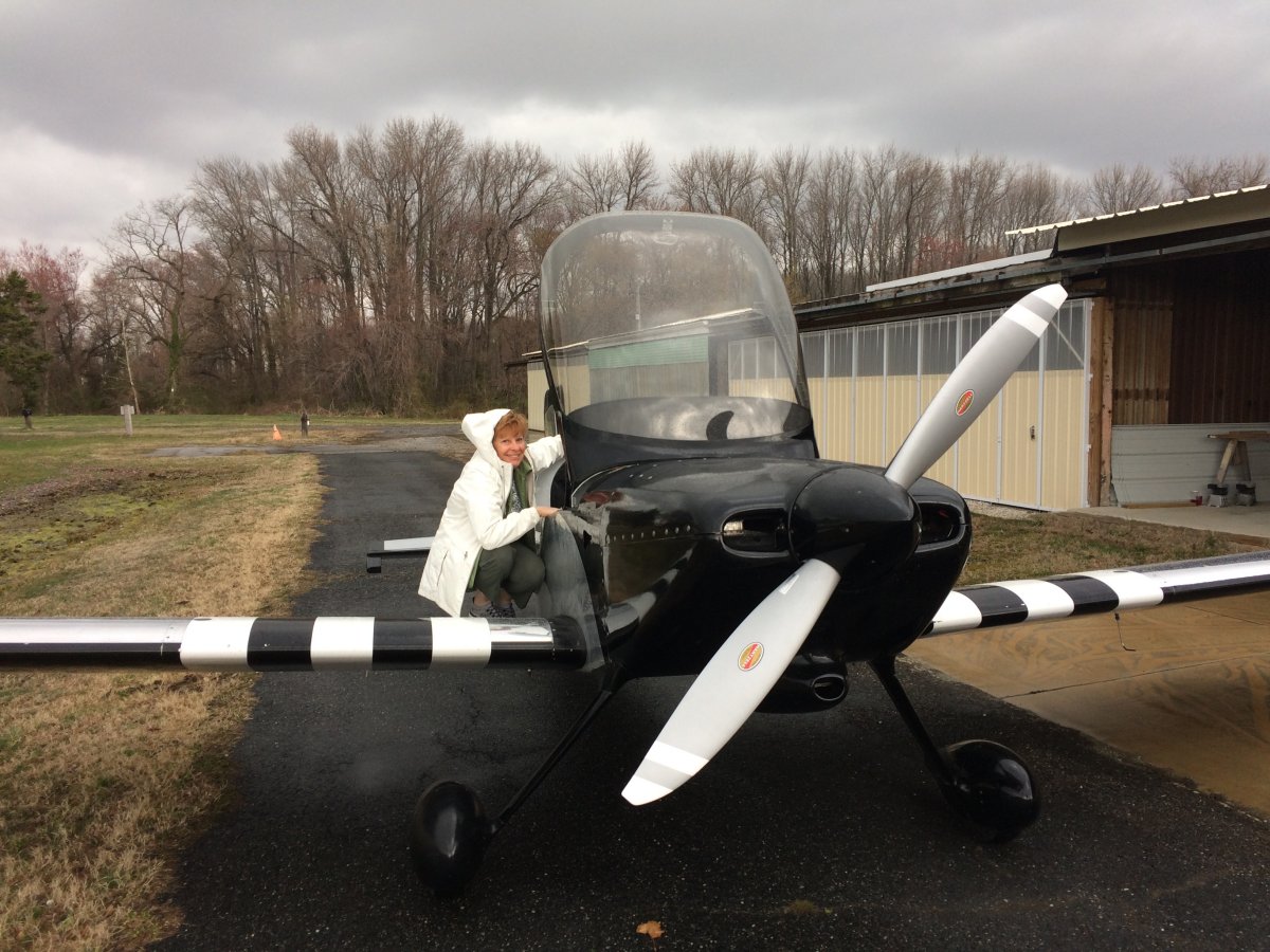
Back-taxiing down the runway. In the rain. But it is sunny in Florida! | ||||||
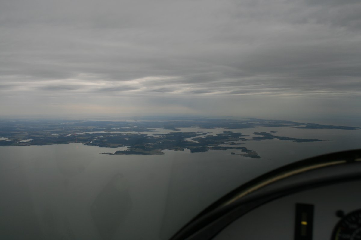
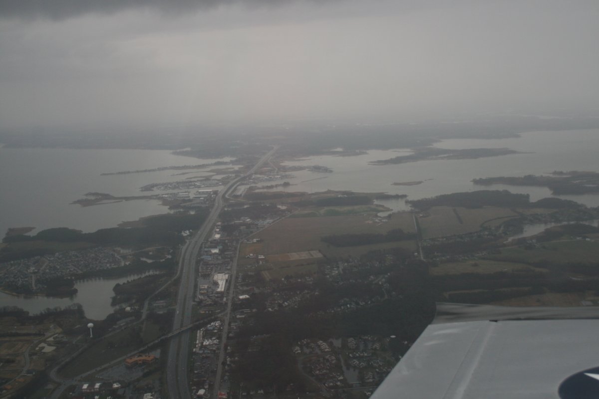
Passing by Kent Narrows on the left. The Chesapeake Bay Bridge to the right. There was still light rain at this point.
|
||||||
Once we got to Tilghman Island the weather improved significantly. It stopped raining and the ceiling lifted to 5,000 feet or so. I thought maybe the weather would be good the rest of the way to Florida. But it was not to be. | ||||||
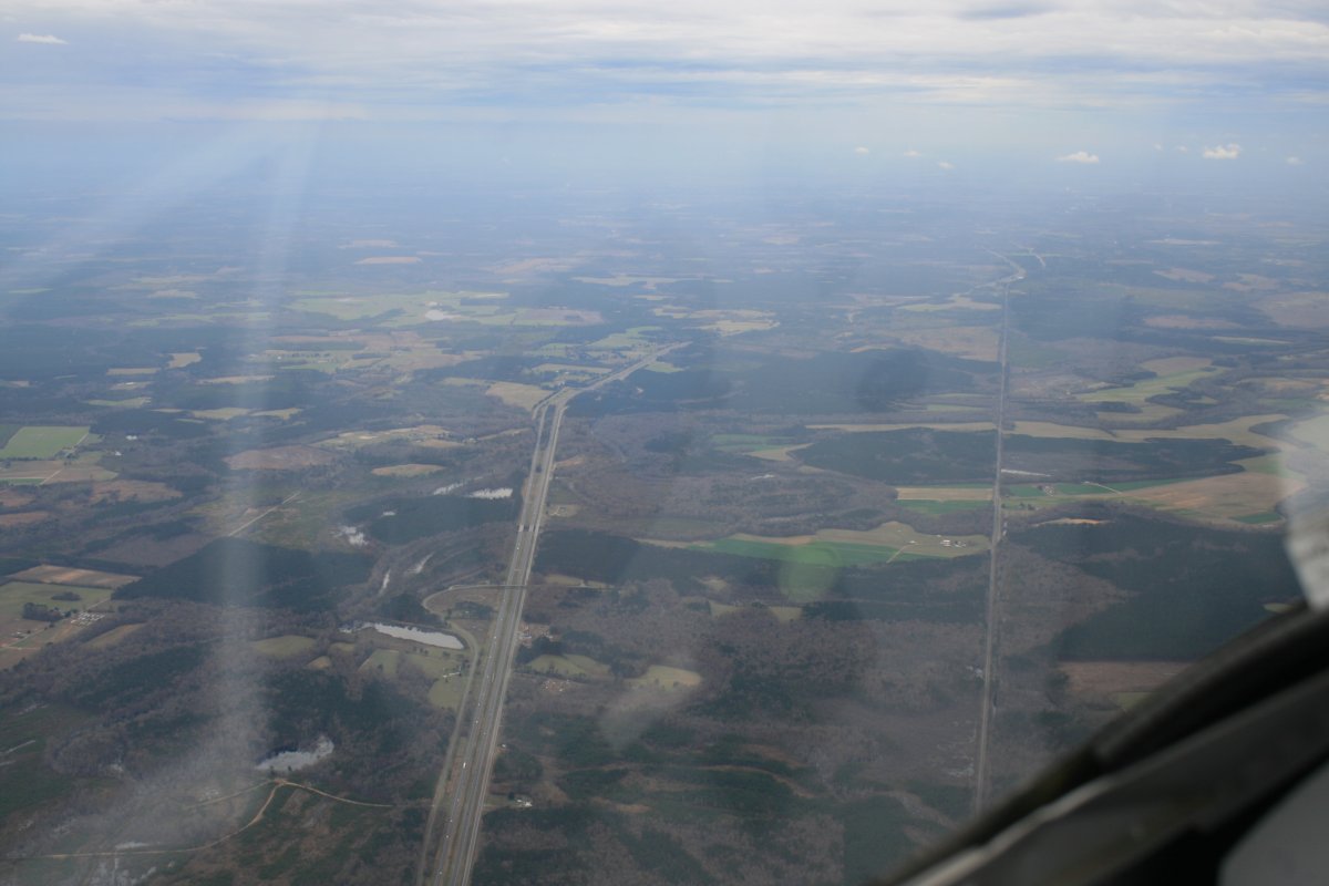
Looking down at I-95 heading south southwest. The weather deteriorated around Richmond, then improved again. Unfortunately, the ceiling never allowed us to get higher than 4,000 feet and it was bumpy down below. Not smooth like it is up at 8,000 feet. | ||||||
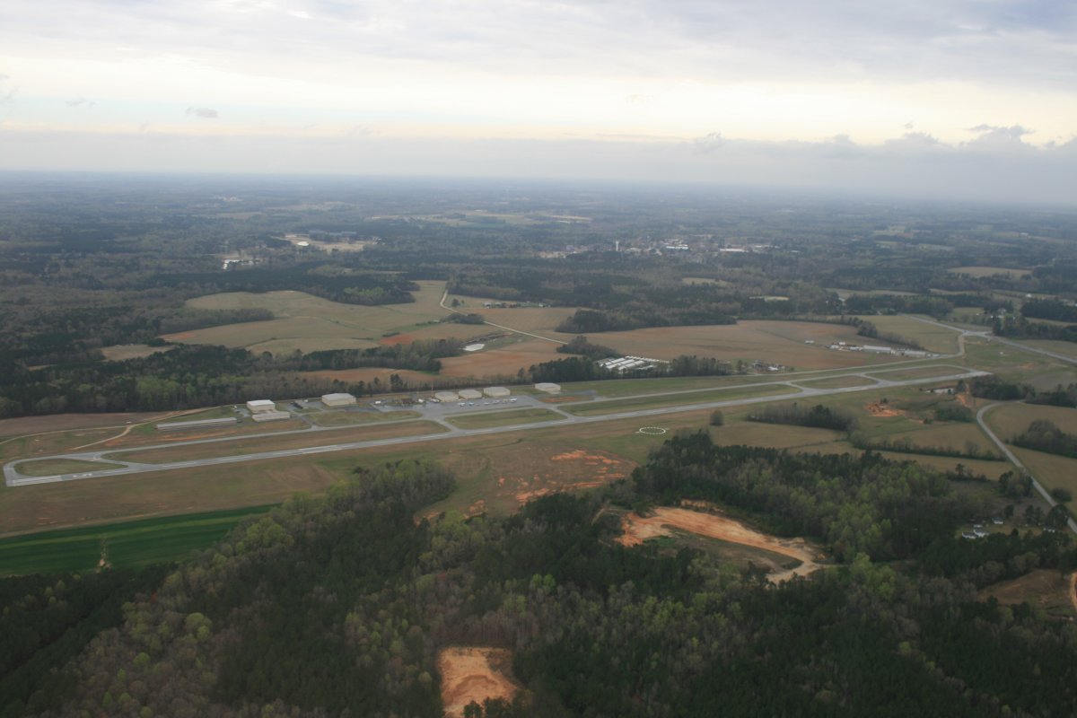
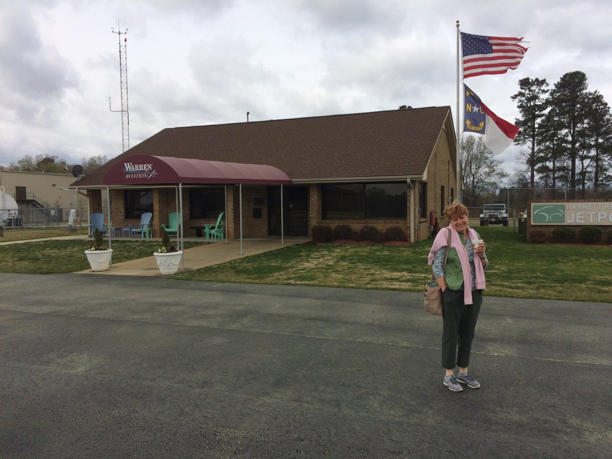
We stopped at Harnett Regional Jetport Airport (KHRJ) which is one of my favorite stops when heading south. Harnett has everything a cross-country pilot wants: avgas prices on the low end of the spectrum, friendly attendant, nice facility, and courtesy car. | ||||||
Lynnette happy to be on the ground but knows there is still a lot of flying to go to get to Florida.
|
||||||
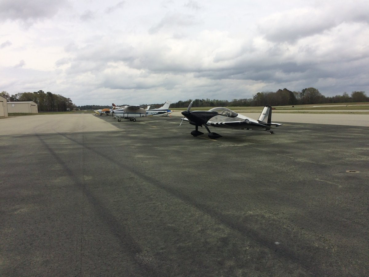
On the ramp at Harnett Airport. See all that yellow on the ramp? Pollen. | ||||||
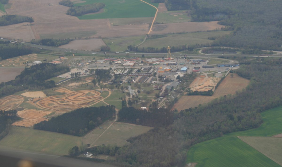
We continued our way south. I'm sure everyone knows what this is: "South of the Border"!
|
||||||
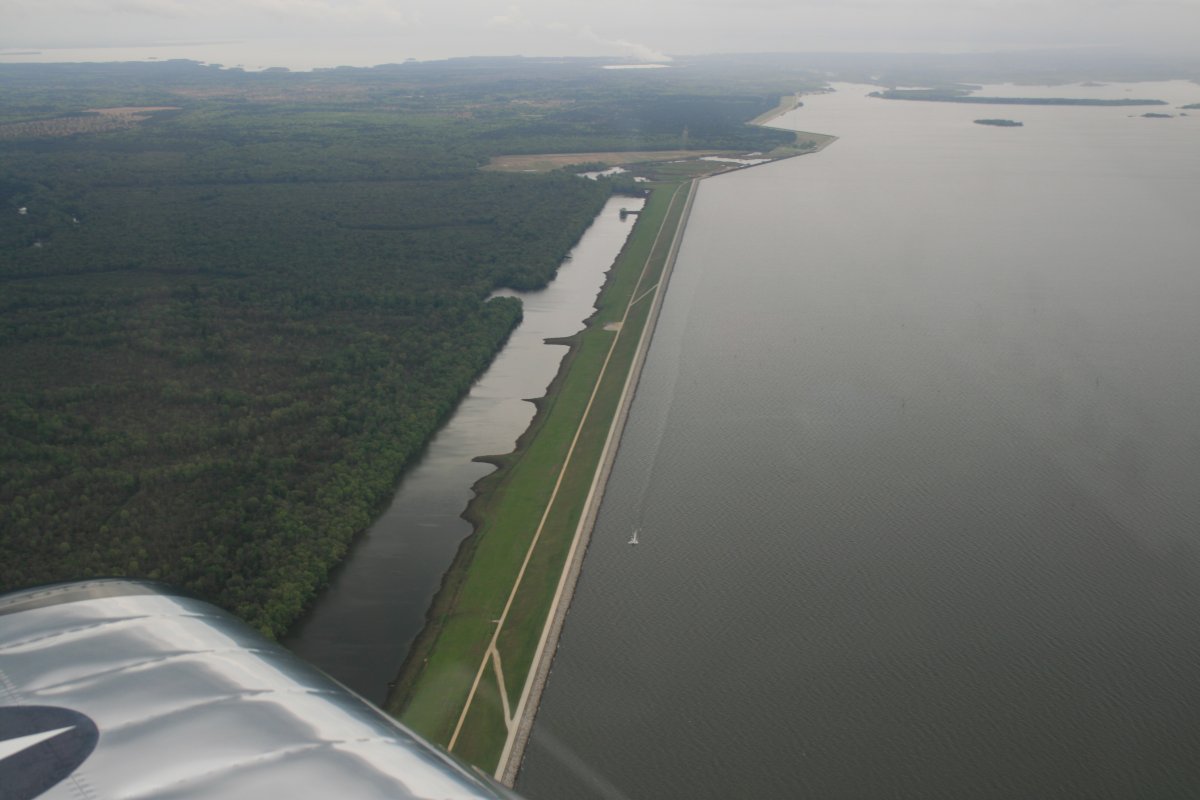
About to cross over Lake Marion in South Carolina. Lake Marion was formed by damming the Santee River in 1941. In fact, we are looking down at the part of the dam in this picture: it's eight miles long! | ||||||
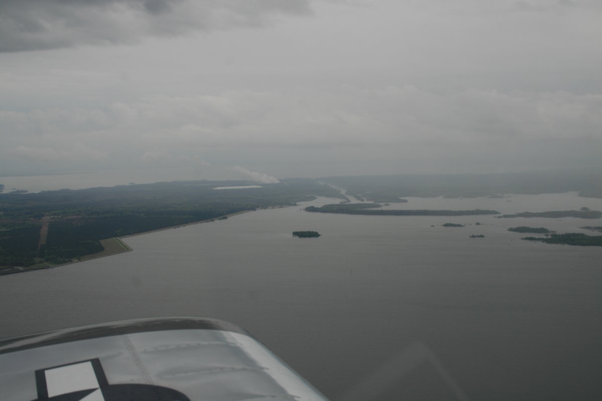
Just to the east of Lake Marion is Lake Moultrie, visible at the top of this picture. It was created by damming the Cooper River. Lake Marion and Lake Moultrie are connected by a seven and a half mile diversion canal, pictures in the middle. | ||||||
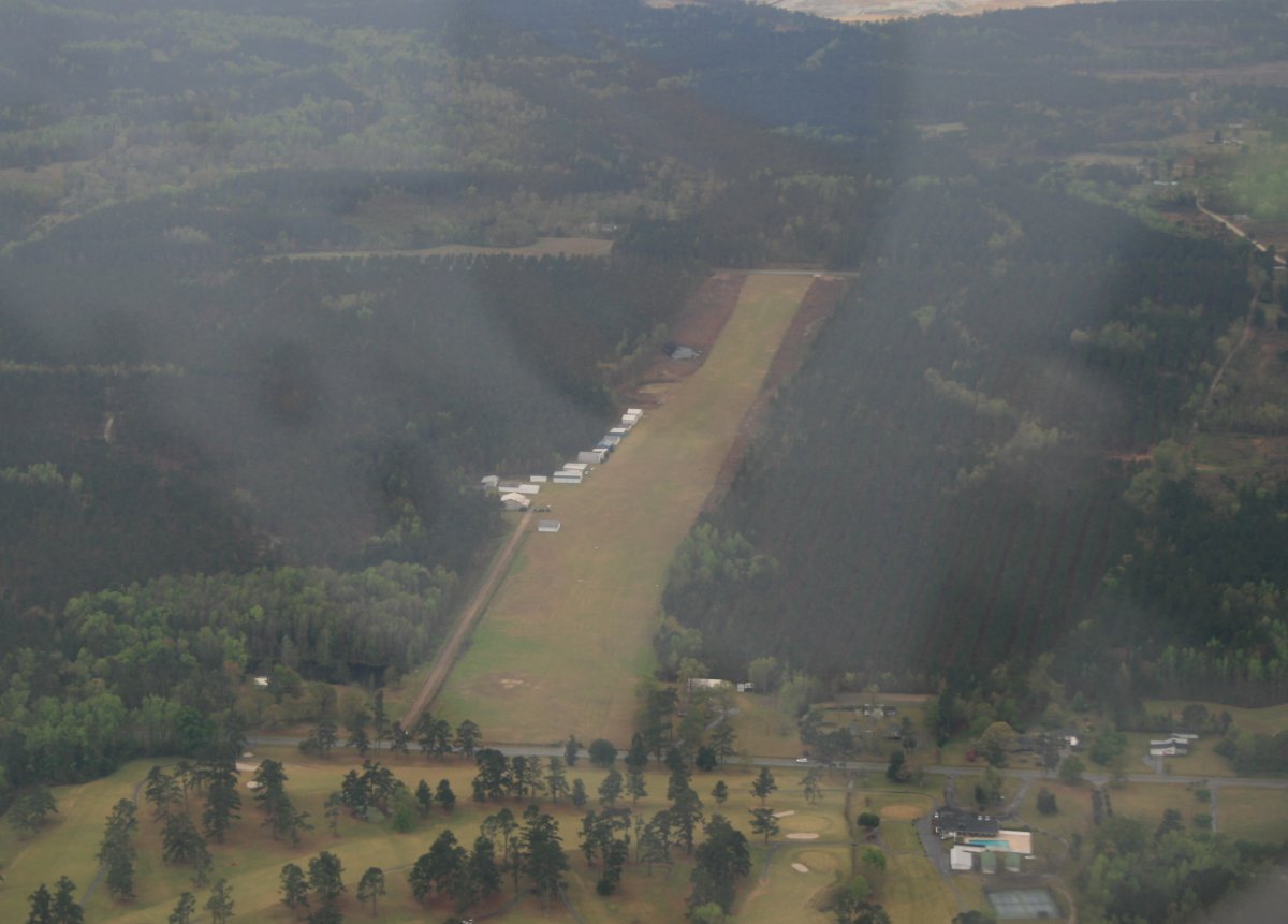
Looking down at Holly Hill Airport, a public grass strip in South Carolina. | ||||||
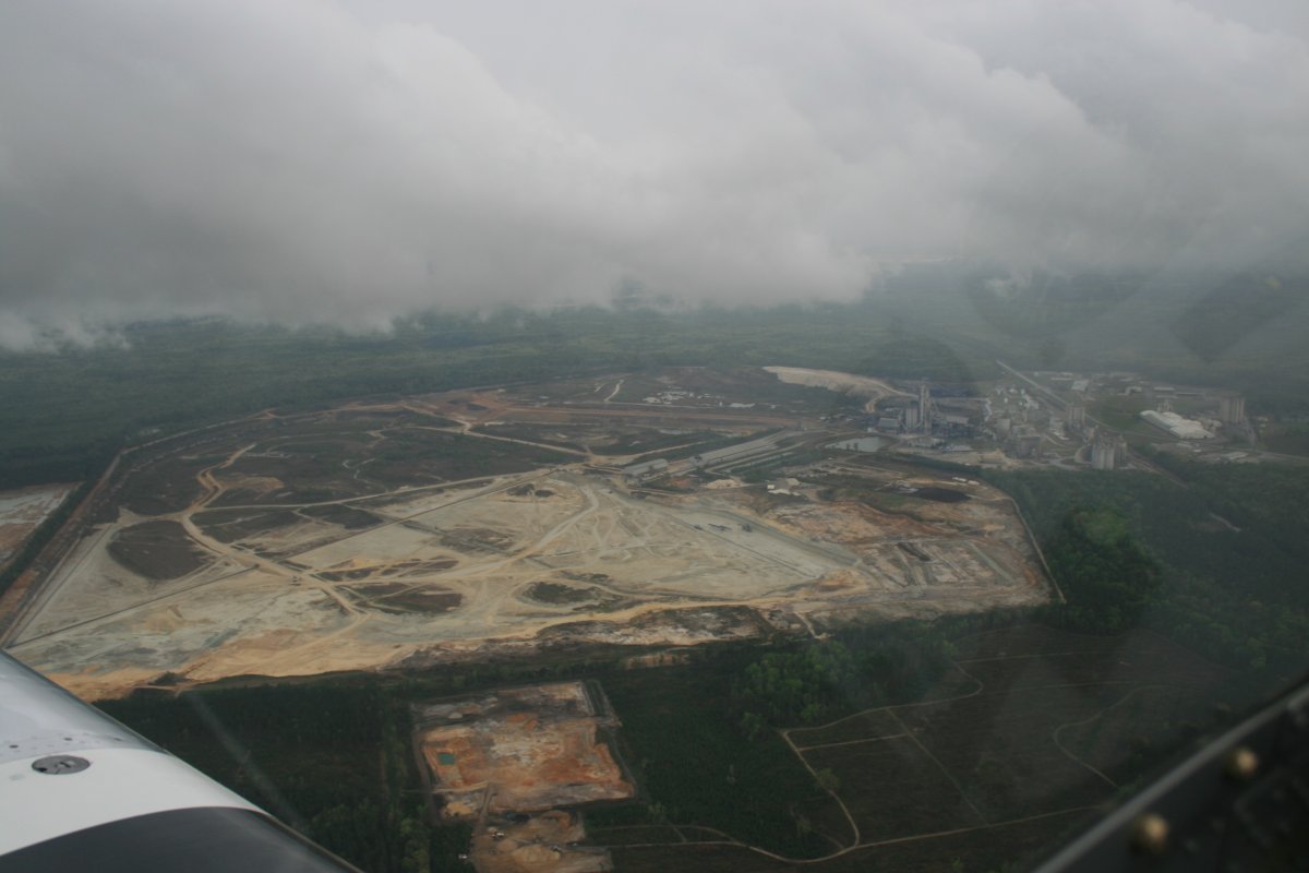
A big industrial site of some sort. Paper mill? Notice the low clouds off to our left.
|
||||||
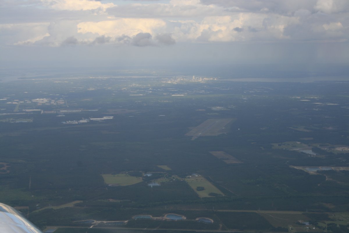
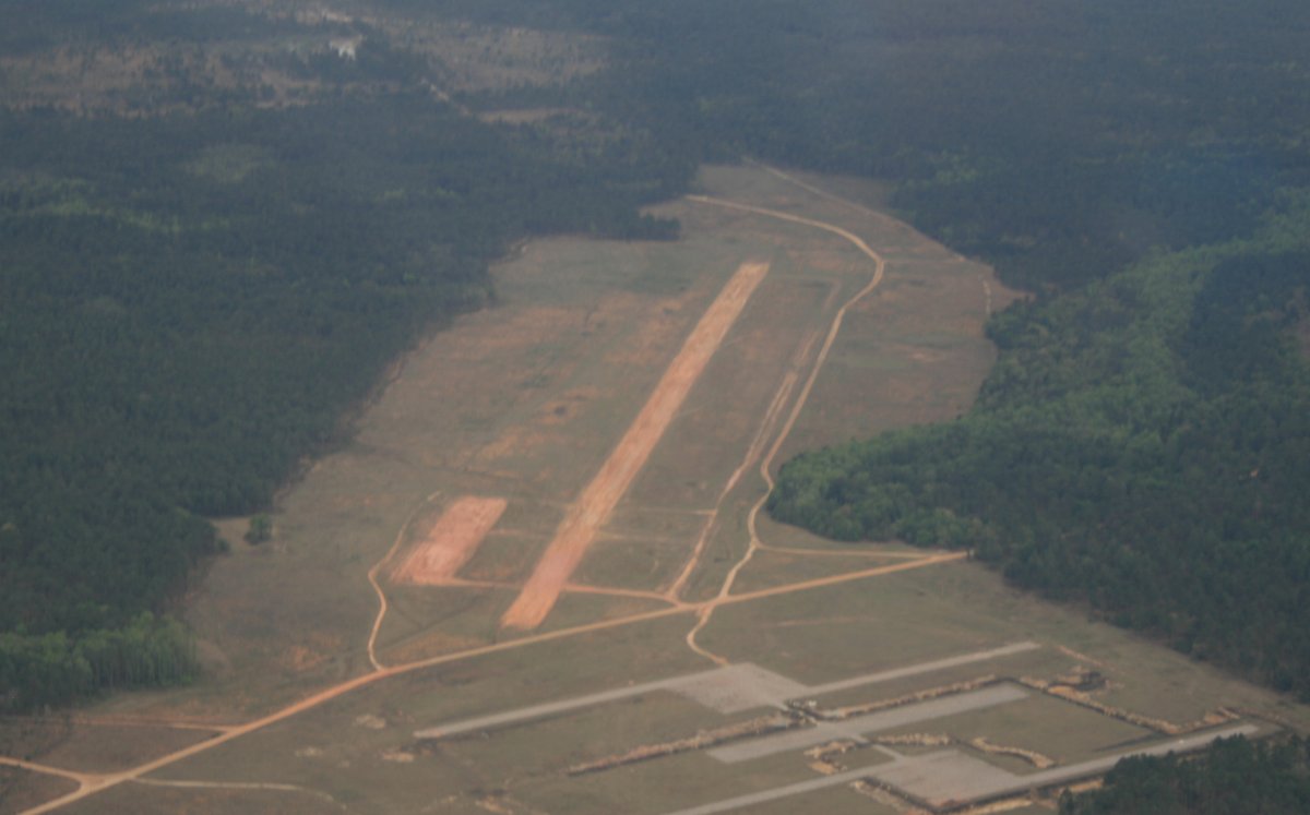
I couldn't decide if they are building a new airport here, or tearing apart an existing airport. I'm guessing the latter since there was an operational airport not far from here and this is in the middle of nowhere.
|
||||||
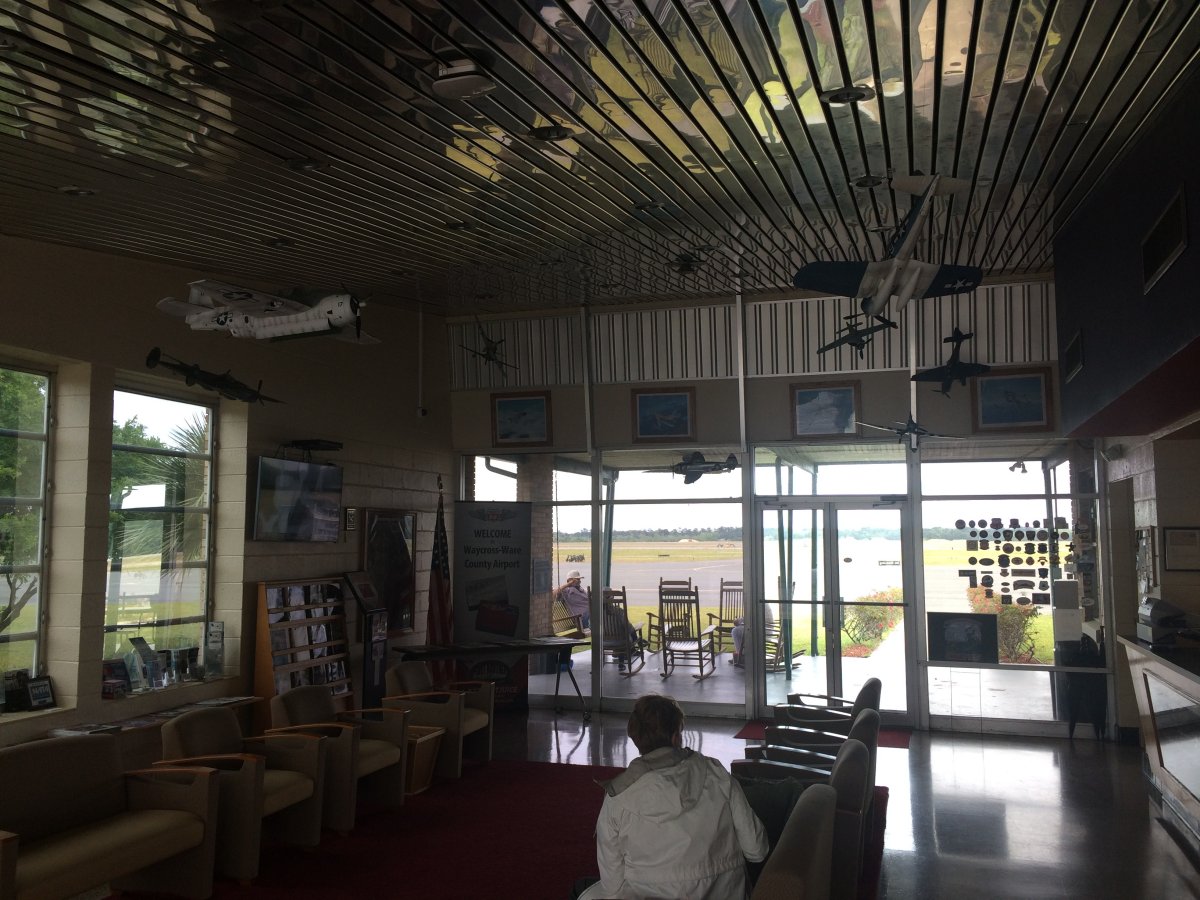
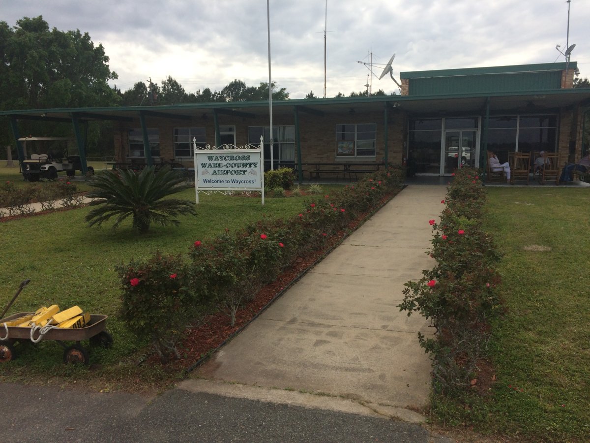
Our next stop was at Waycross Airport (KAYS) in Georgia, at the north edge of the Okephenoke Swamp. I've been stopping at this great airport on cross-countries to and from Florida since 2006. It's one of my favorite airports. Friendly attendants, Avgas on the low end of the spectrum, comfortable facility with aviation memorabilia and character, a front porch with rocking chairs, courtesy car, inexpensive lodging in town. They serve free BBQ during Sun 'N Fun week. Airports don't get much better than this.
|
||||||
The comfortable lounge with airplanes hanging overhead. Lynnette could have stretched out and gone to sleep on the couch, but we still had an hour and a half of flying to go. | ||||||
Fortunately, the weather finally turned decent and we were able to climb high to smooth air. Here we are passing Jacksonville off to the left. | ||||||
Passing by the famous Spruce Creek Airport Community. What I'd give! | ||||||
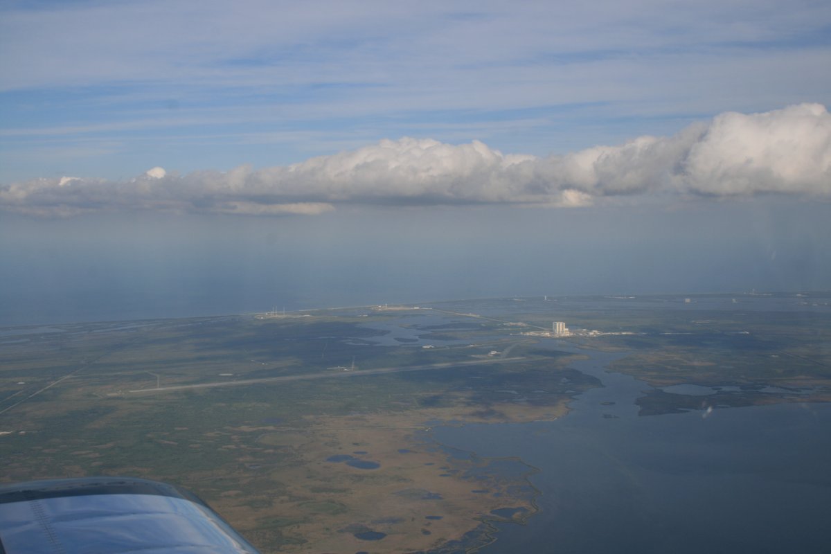
Passing by the Kennedy Space Center and Cape Canaveral. The gigantic Vehicle Assembly Building (VAB) is clearly visible along with the famous Apollo/Shuttle launch pads 39A and 39B. Plus the 15,000 foot long NASA Shuttle Landing Runway (KTTS).
|
||||||
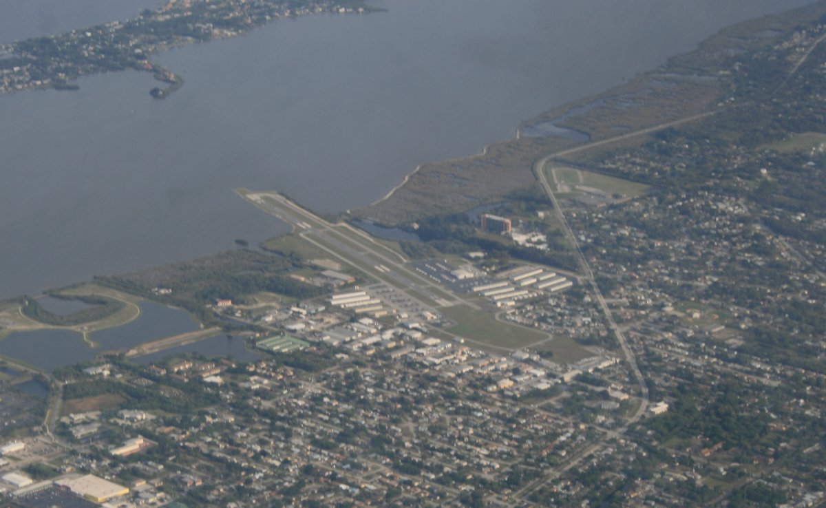
Looking down at Merritt Island Airport. I flew in and out of here as a passenger in a 172 a long time ago.
|
||||||
Cocoa Beach where my sister used to live. Home of the famous flagship store of Ron Jon's surfshop! | ||||||
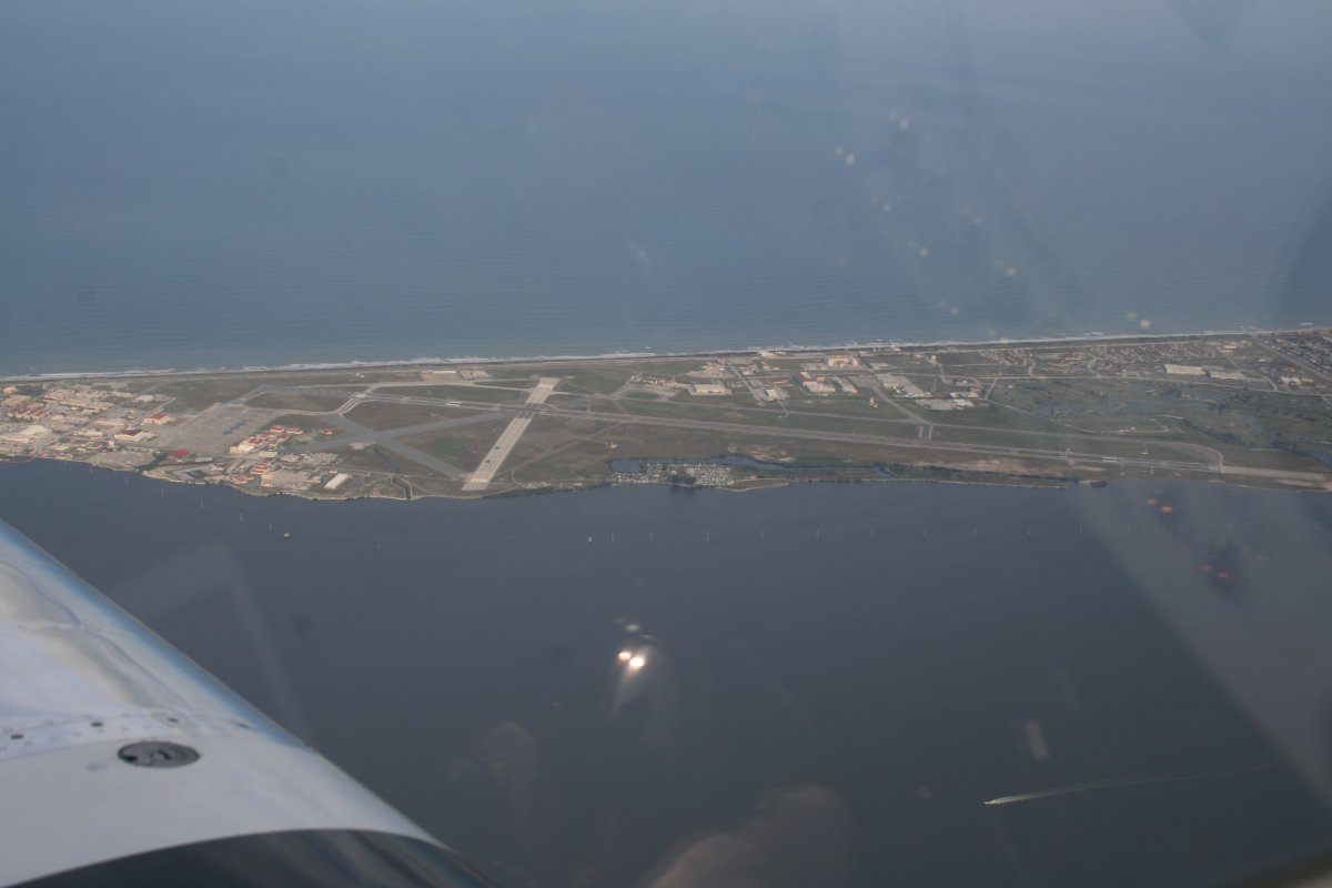
Passing by Patrick Air Force Base. It was originally opened and operated from 1940 to 1947 as Naval Air Station Banana River, a U.S. Navy airfield. | ||||||
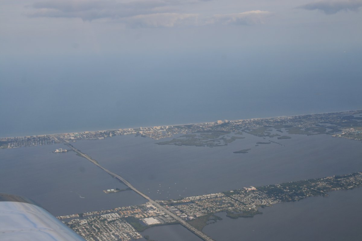
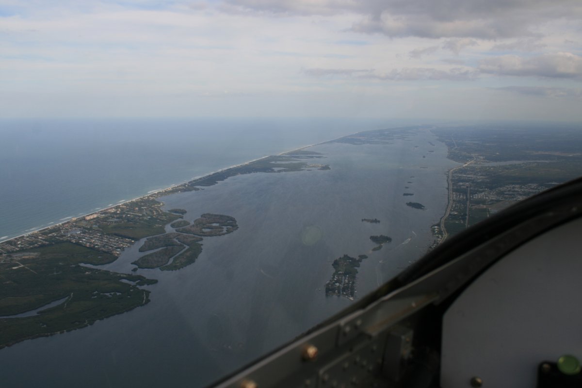
Continuing south looking down the Indian River.
|
||||||
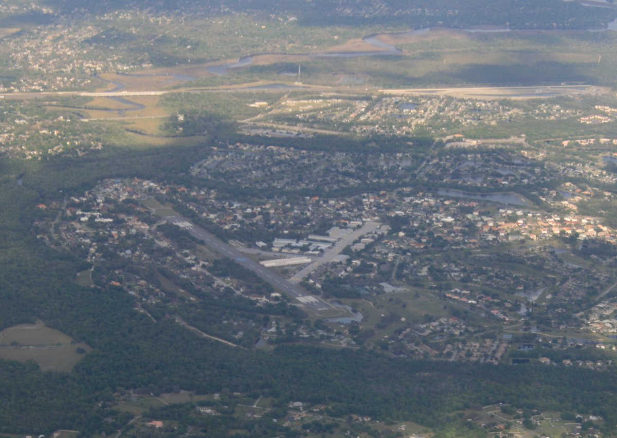
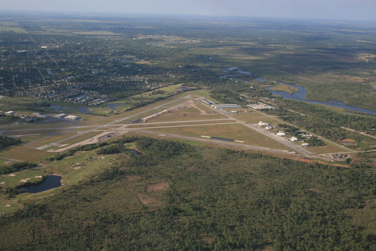
Overhead Sebastian Municipal Airport (X26). | ||||||
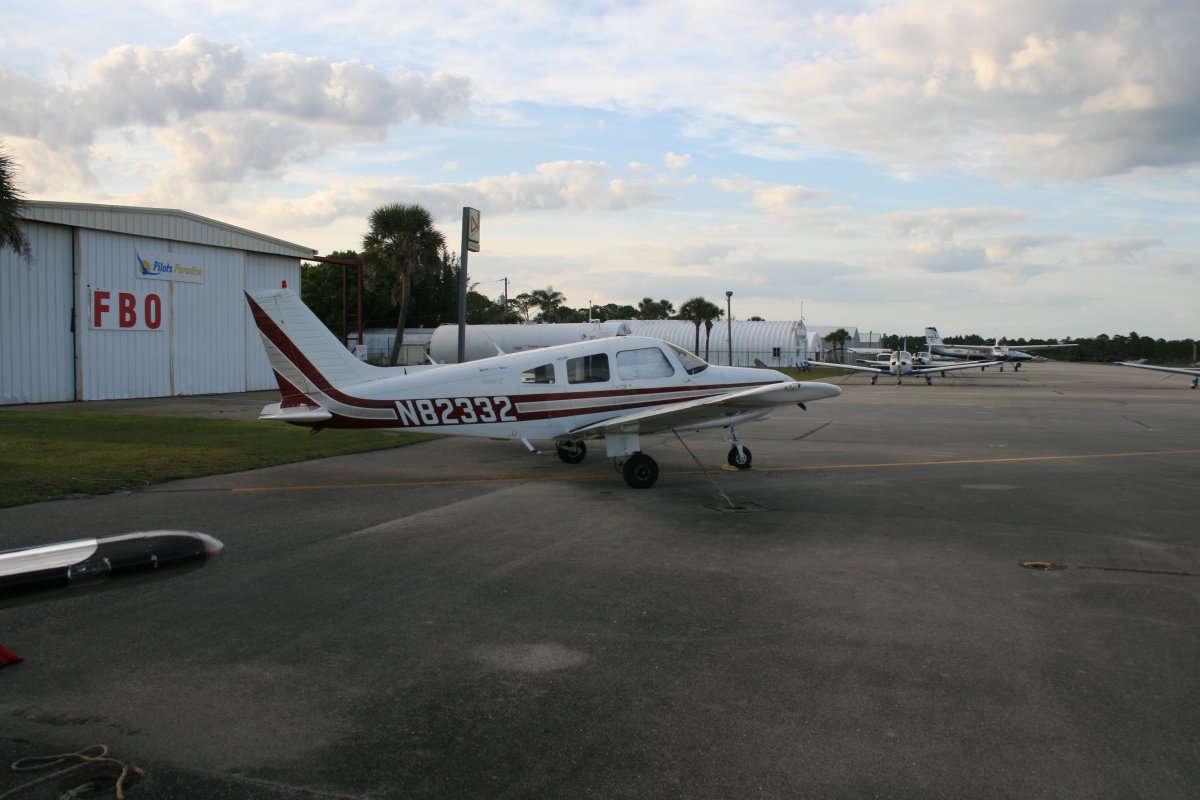
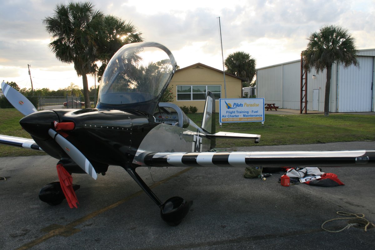
We made it! Safe on deck at Sebastian Municipal Airport (X26). The first night I parked the RV-7 in front of the Pilot's Paradise FBO which does a lot of flight training and aircraft rental. The next day I moved the RV to the transient parking area.
|
||||||
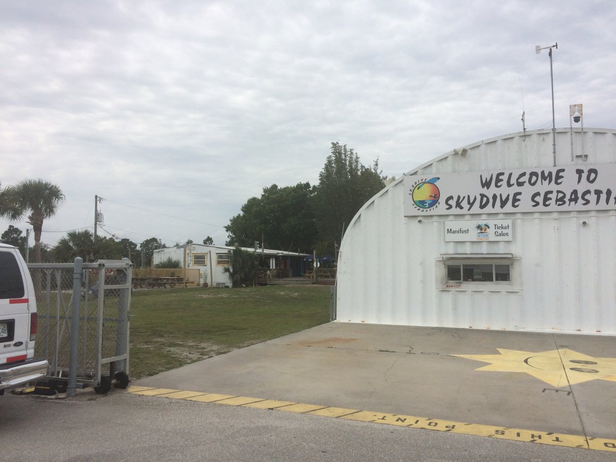
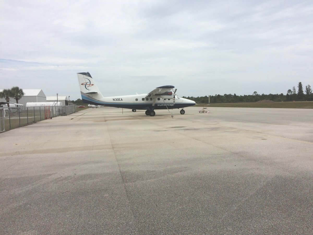
There is a big sky diving operation just down the ramp from Pilot's Paradise. There is also an airplane painting operation. | ||||||
One of the two sky dive airplanes. | ||||||
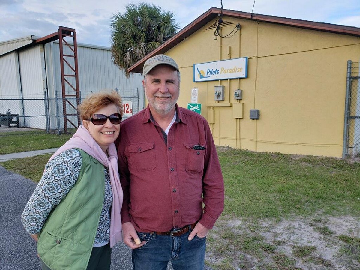
Lynnete happy to be done flying for the day. We're both happy to be in warm, sunny Florida. It has been a long winter.
|
||||||