Days 9 & 10 - Transit Home
|
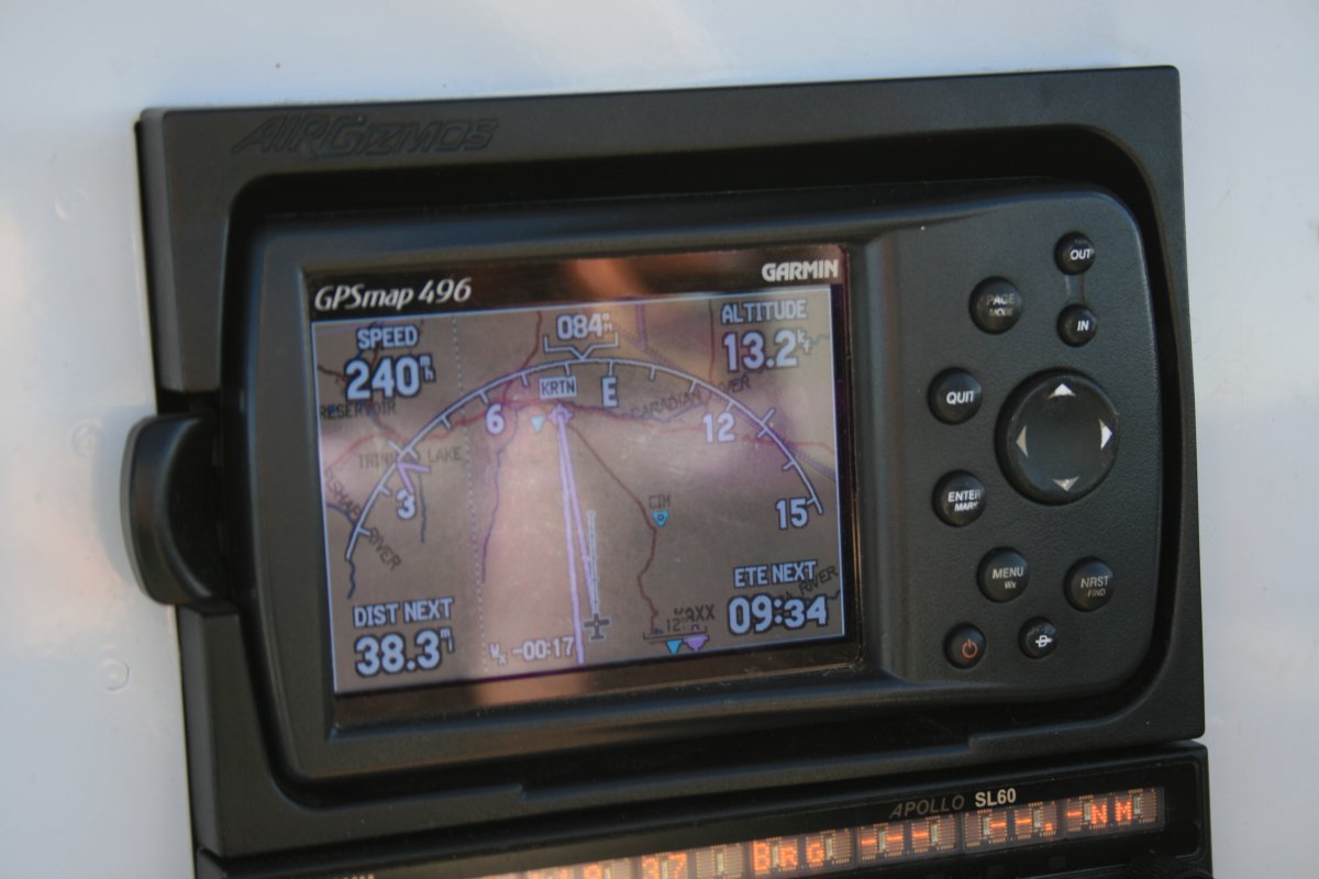
| Heading east at 11,500 feet with a strong tailwind. Not much to see compared to what I've seen the last five days. This was the highlight in a 2 1/2 hour flight, LOL. |
| |
 |
|
|
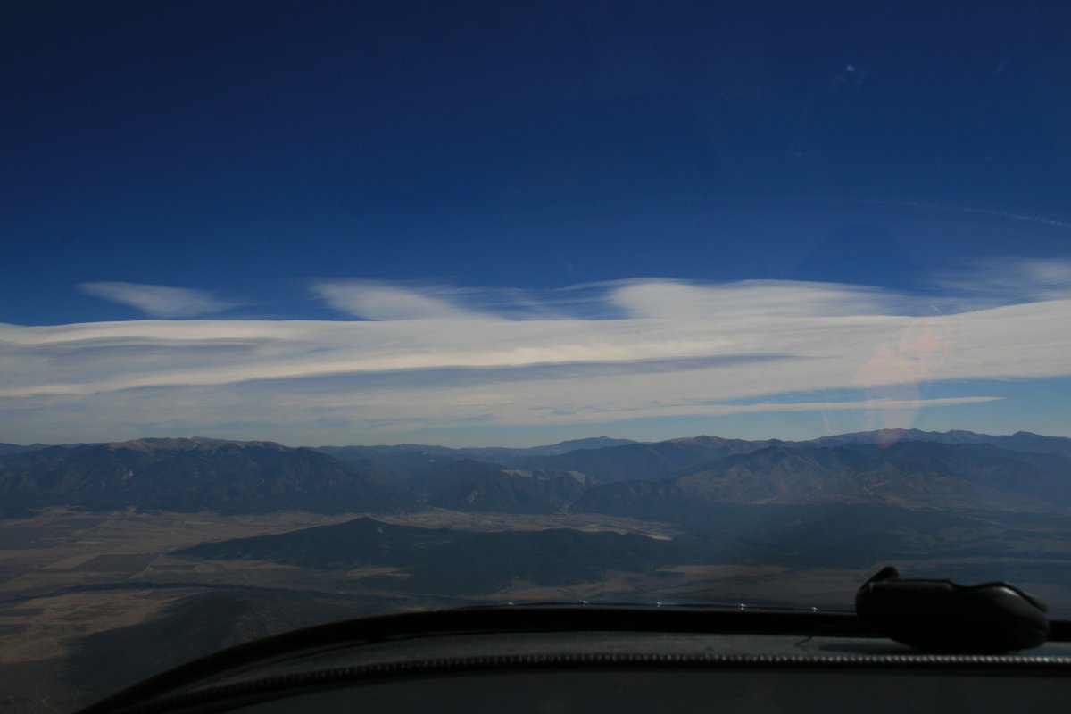
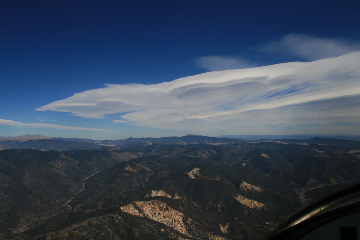
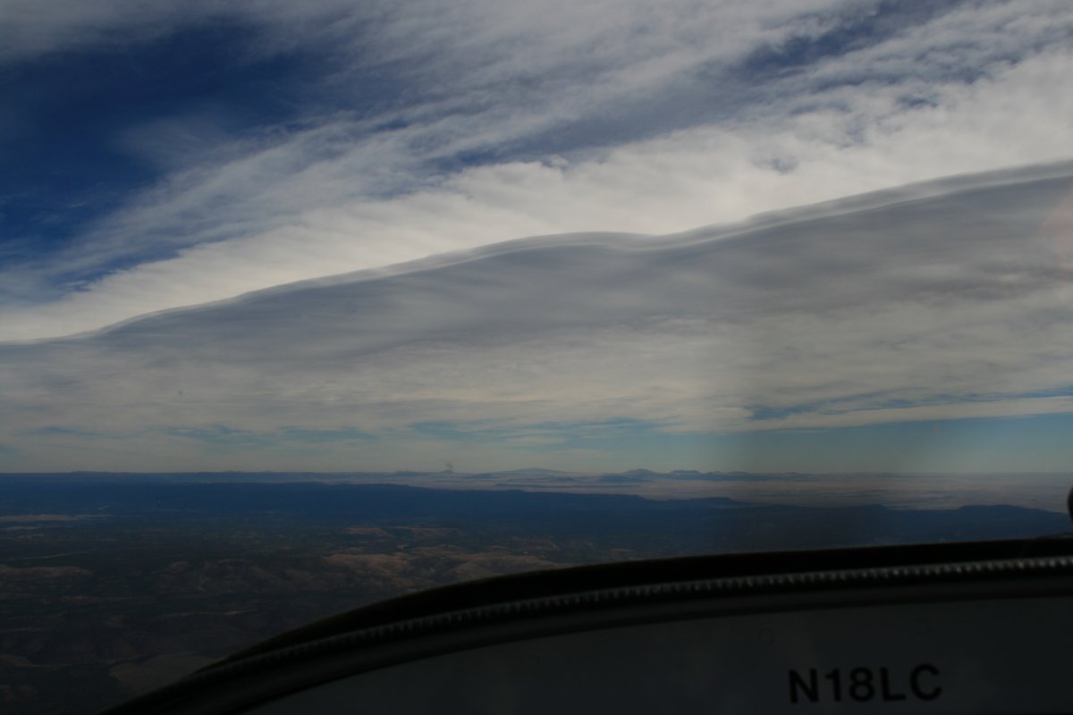
I had two high mountain ranges to get across. The strong tailwind was nice to have, but I was a little worried about mountain wave and turbulence crossing the mountain ranges. Especially since those look like lenticular clouds up ahead.
|
| |
 |
|
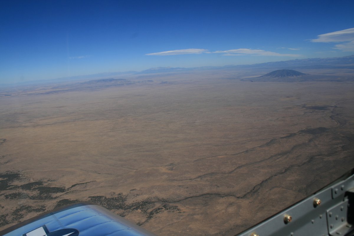
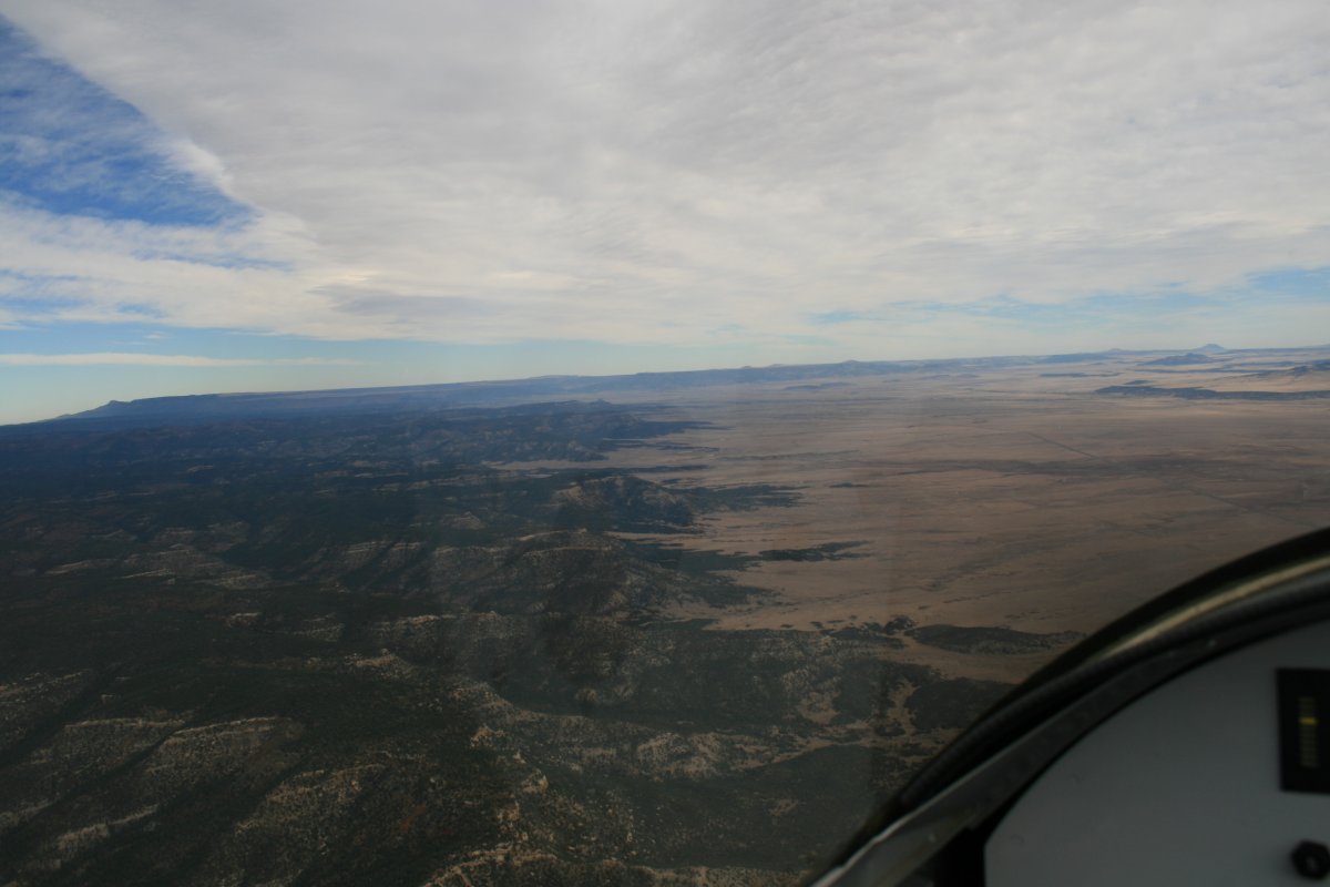
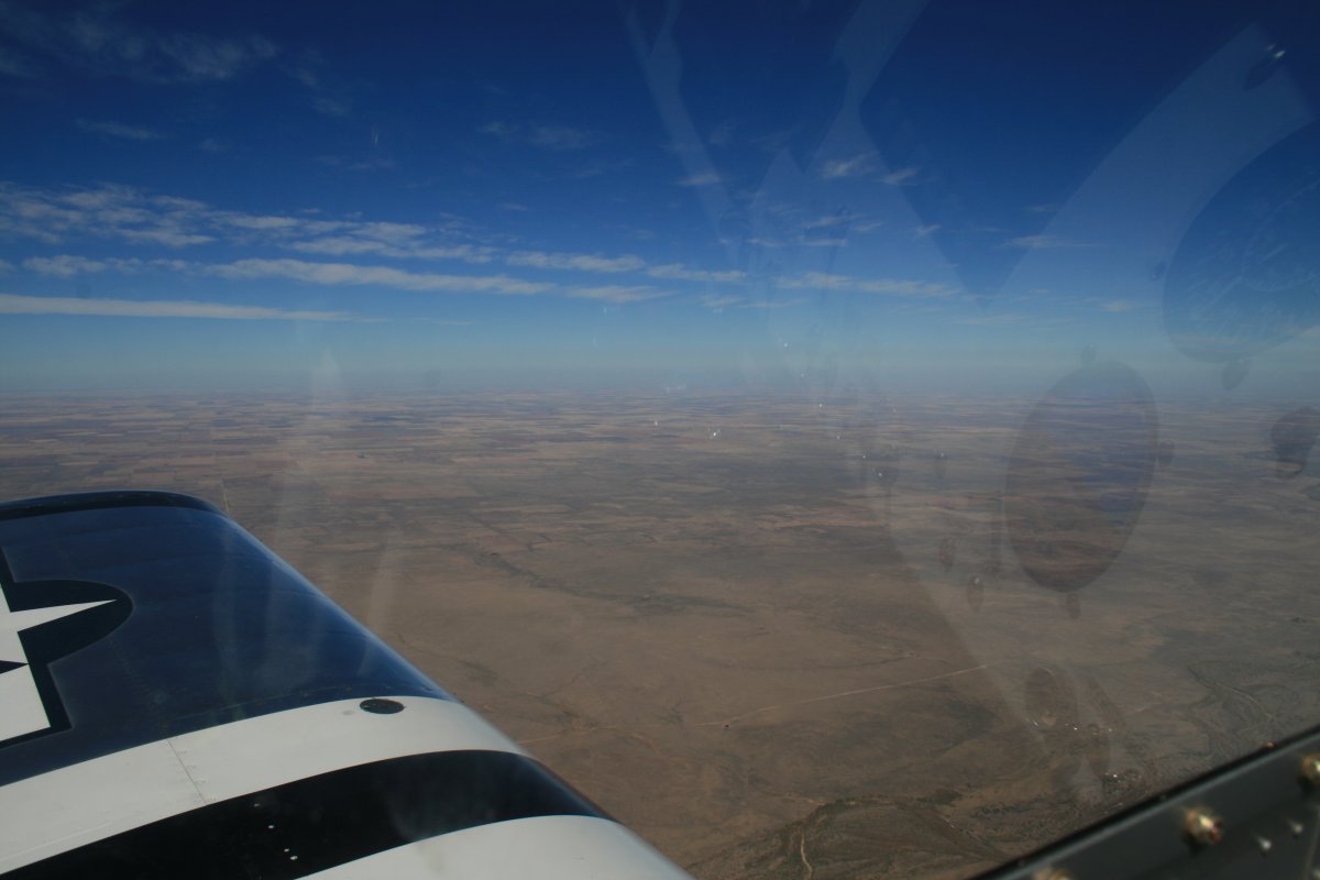
| This is what I call high desert. |
| |
 |
|
|
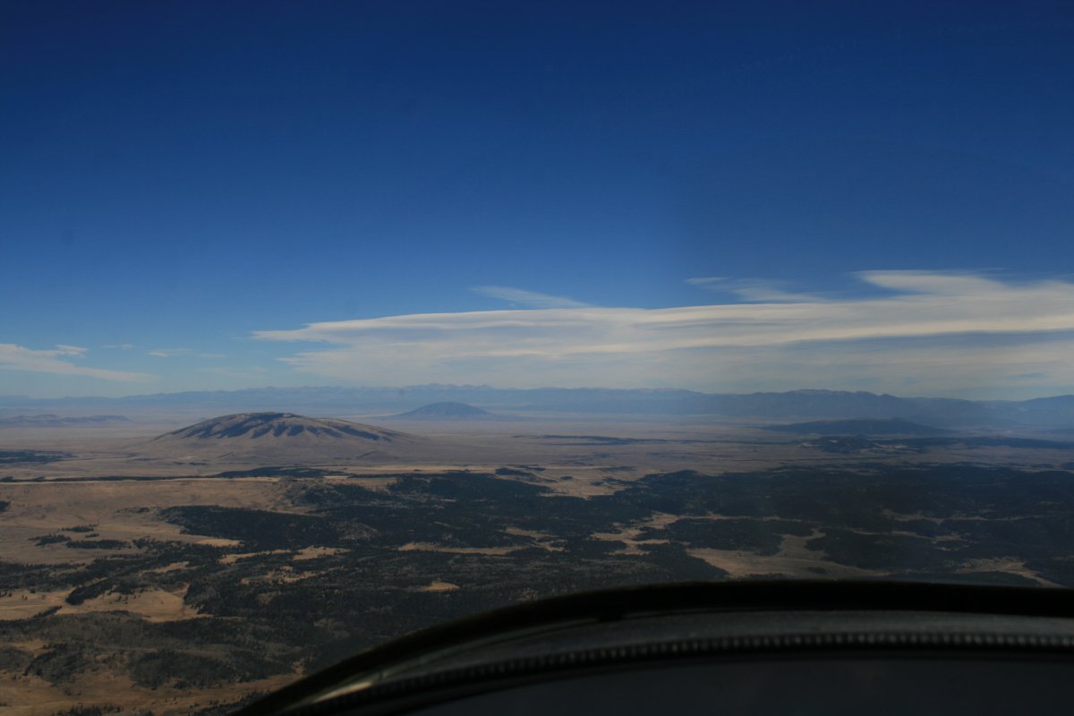
Are those lenticular clouds? Will I have to fly through a rotor?
I went on oxygen and climbed up to 13,500 feet to get over the Sangre De Cristo Range. I was going to go through the Red River Pass.
|
| |
 |
|
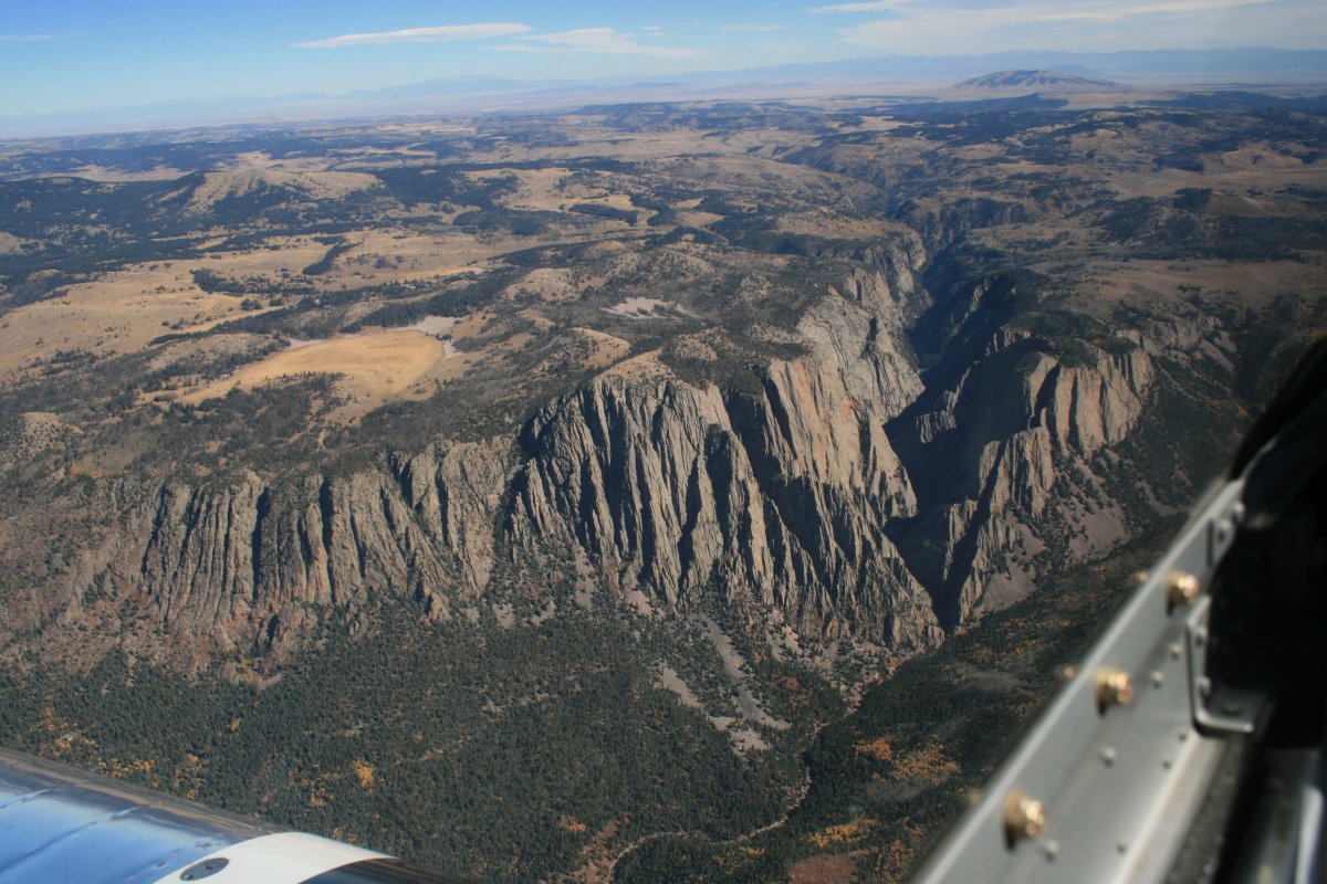
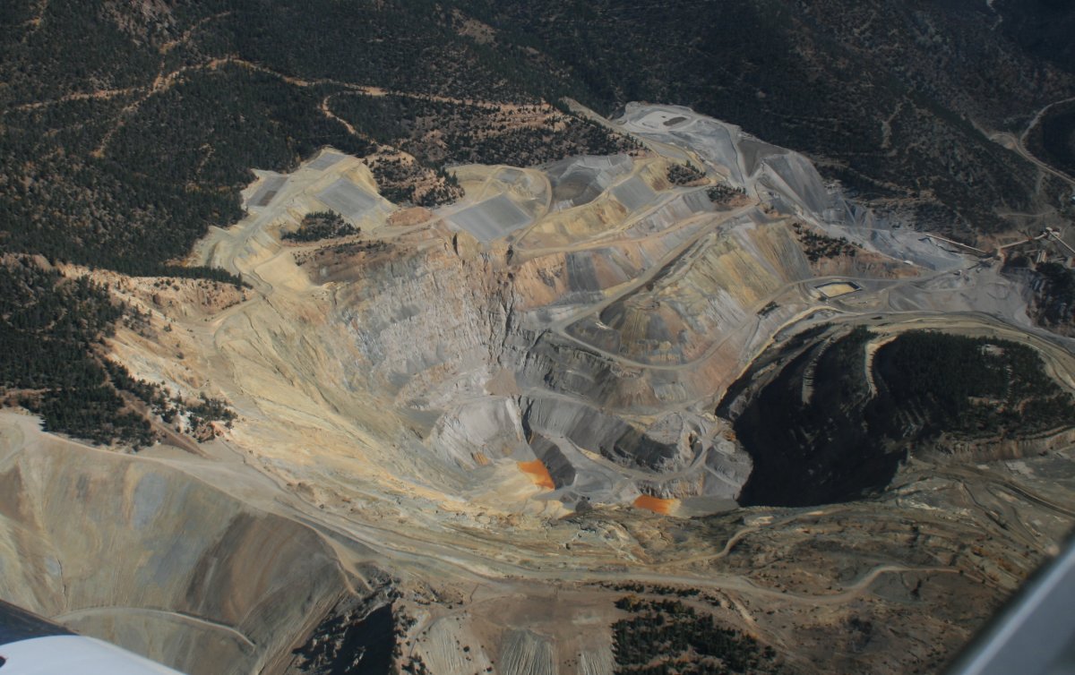
| A gigantic quarry on the side of a mountain. |
| |
 |
|
| I'm over the Sangre De Cristo range now. Raton is on the flatland, on the other side, out of the Rockies. |
| |
 |
|
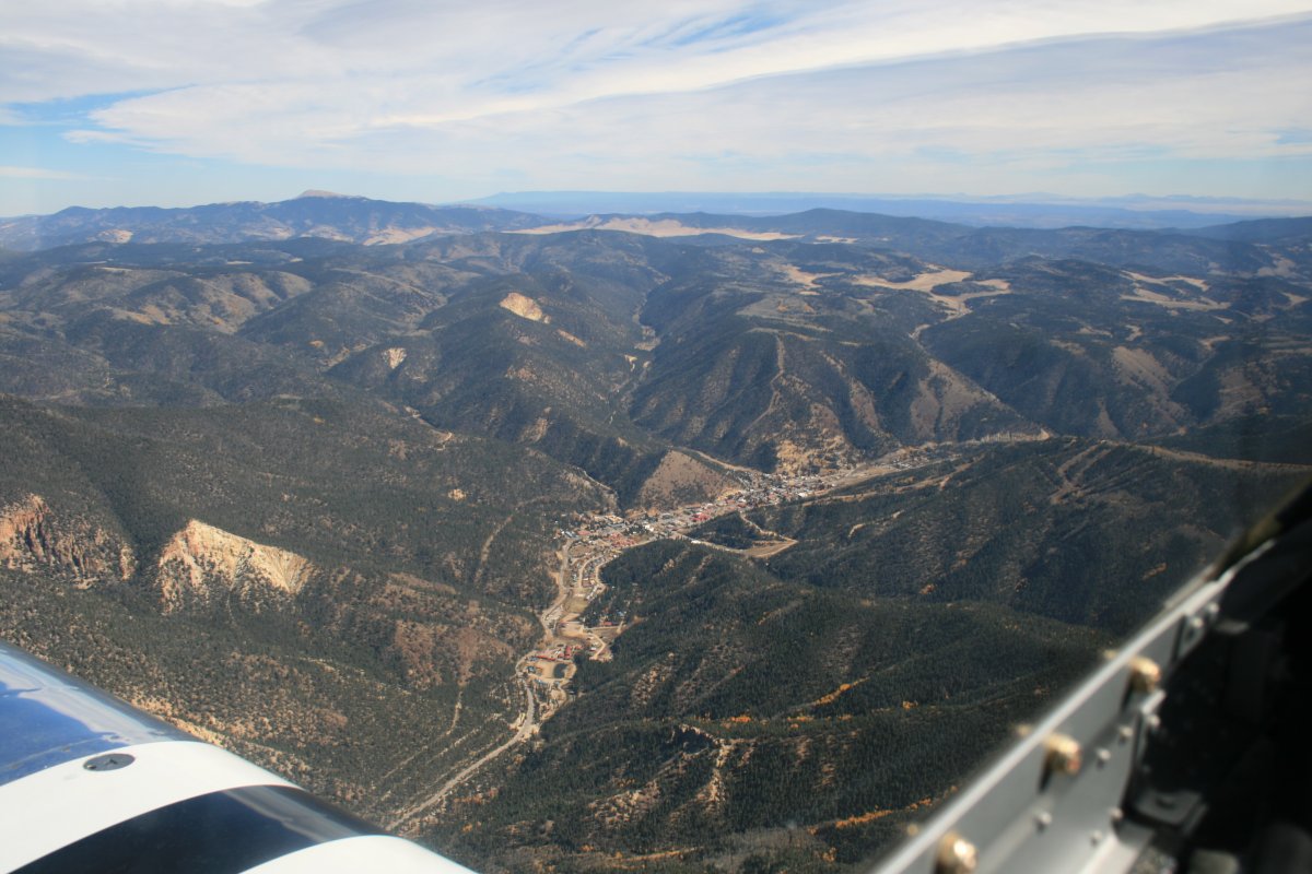
| The little town of Red River. A ski resort is on the mountain to the right of Red River. |
| |
 |
|
|
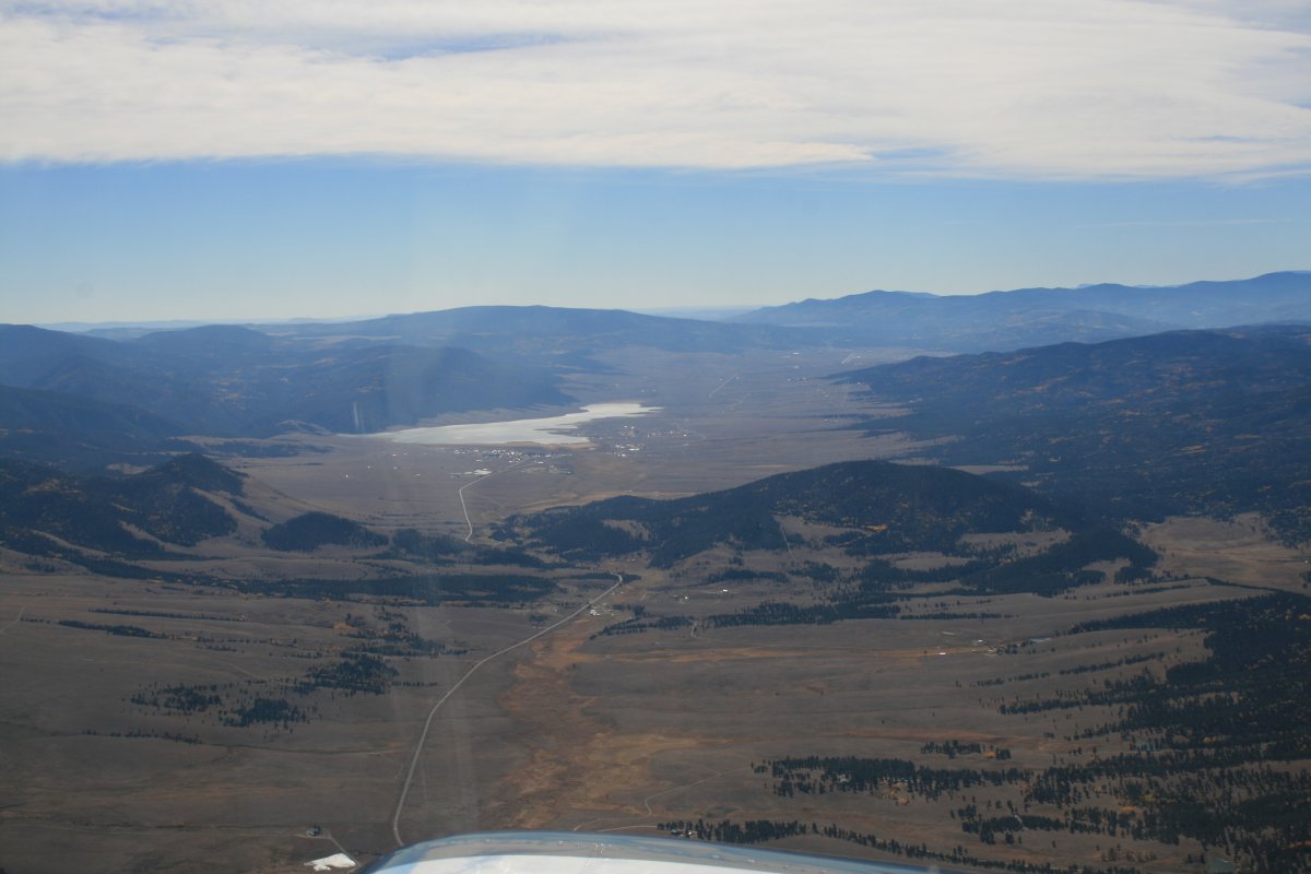
Looking south down a high mountain valley. Eagle Nest Lake can be seen in the distance.
|
| |
 |
|
| I was making some seriously good speed up this high. Love a good tailwind! |
| |
 |
|
|
Almost out of the mountains. The air was mostly smooth; the turbulance I was worried about never happened.
|
| |
 |
|
| I'm out of the mountains and entering the flatlands. |
| |
 |
|
| Overhead Raton Municipal Airport. I had overnighted here five years ago and liked the airport. Great FBO. Low AvGas prices, courtesy car, rental cars, friendly staff, multiple runways. They even grilled up a tasty hamburger for me! (On the house). Then it was time to be on my way. |
| |
 |
|
|
I knew the next leg from Raton, New Mexico to Lamar, Missouri was going to be boring and it was. The tailwind wasn't as strong as before but I still made decent speed: greater than 210 mph groundspeed.
|
| |
 |
|
|
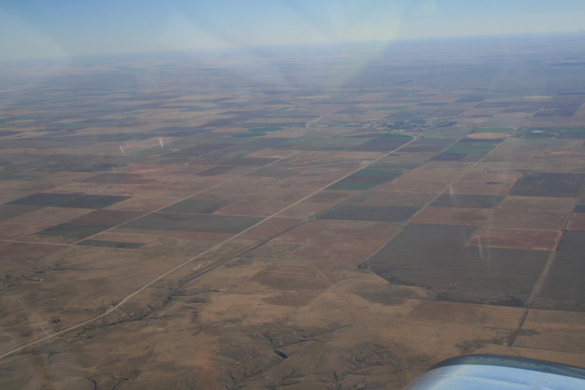
Here, I'm starting to see some agriculture as opposed to just desert.
|
| |
 |
|
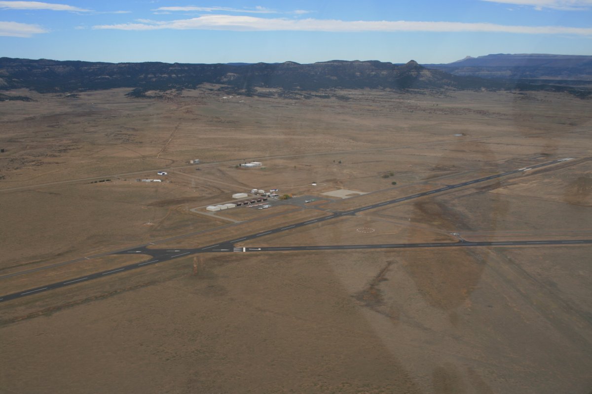
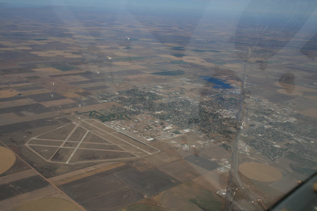
| This town airport was almost as big as the town itself. |
| |
 |
|
|
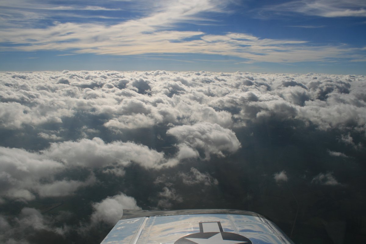
Clouds! I haven't seen those in awhile. Fortunately, they were scattered/broken so I could stay on top and keep my speed up.
|
| |
 |
|
| The clouds cleared up and I reached my destination, a private airstrip called Twin Oaks Airport, owned by Tom and Diana Richards. I knew the Richards back from my Citabria days and they and graciously invited me to stay at Twin Oaks. However, they had received a lot of rain this week and the grass runways were extremely soft so I landed the RV at nearby Lamar Airport (KLLU). |
| |
 |
|
| Diana picked me up at Lamar Airport. |
| |
 |
|
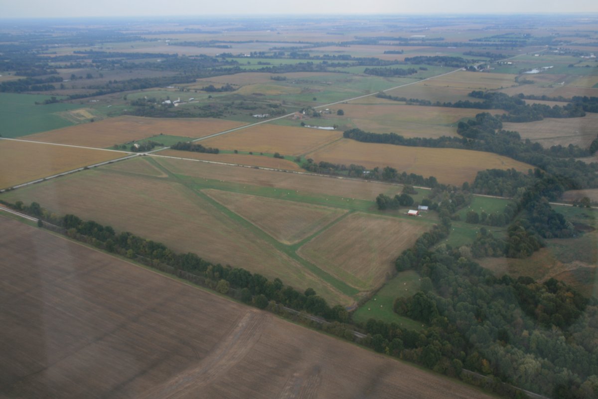
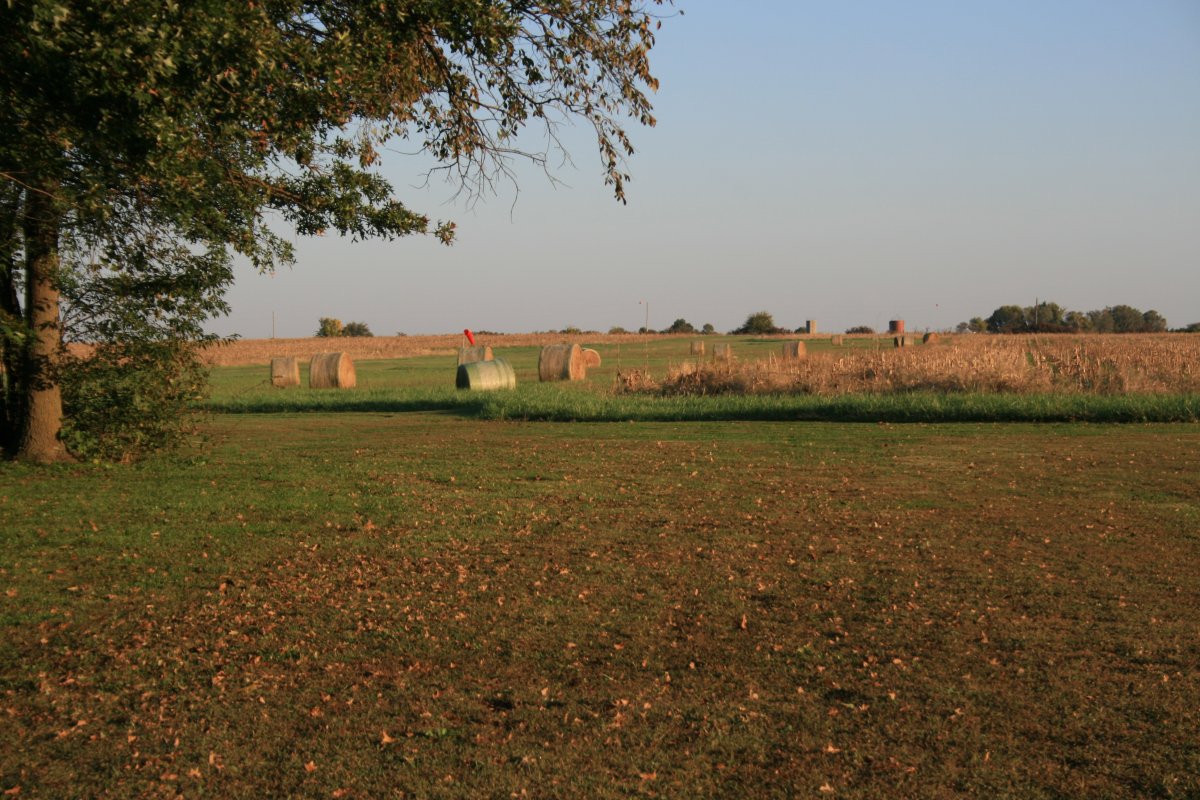
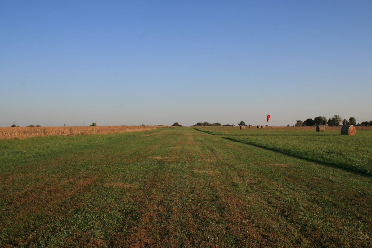
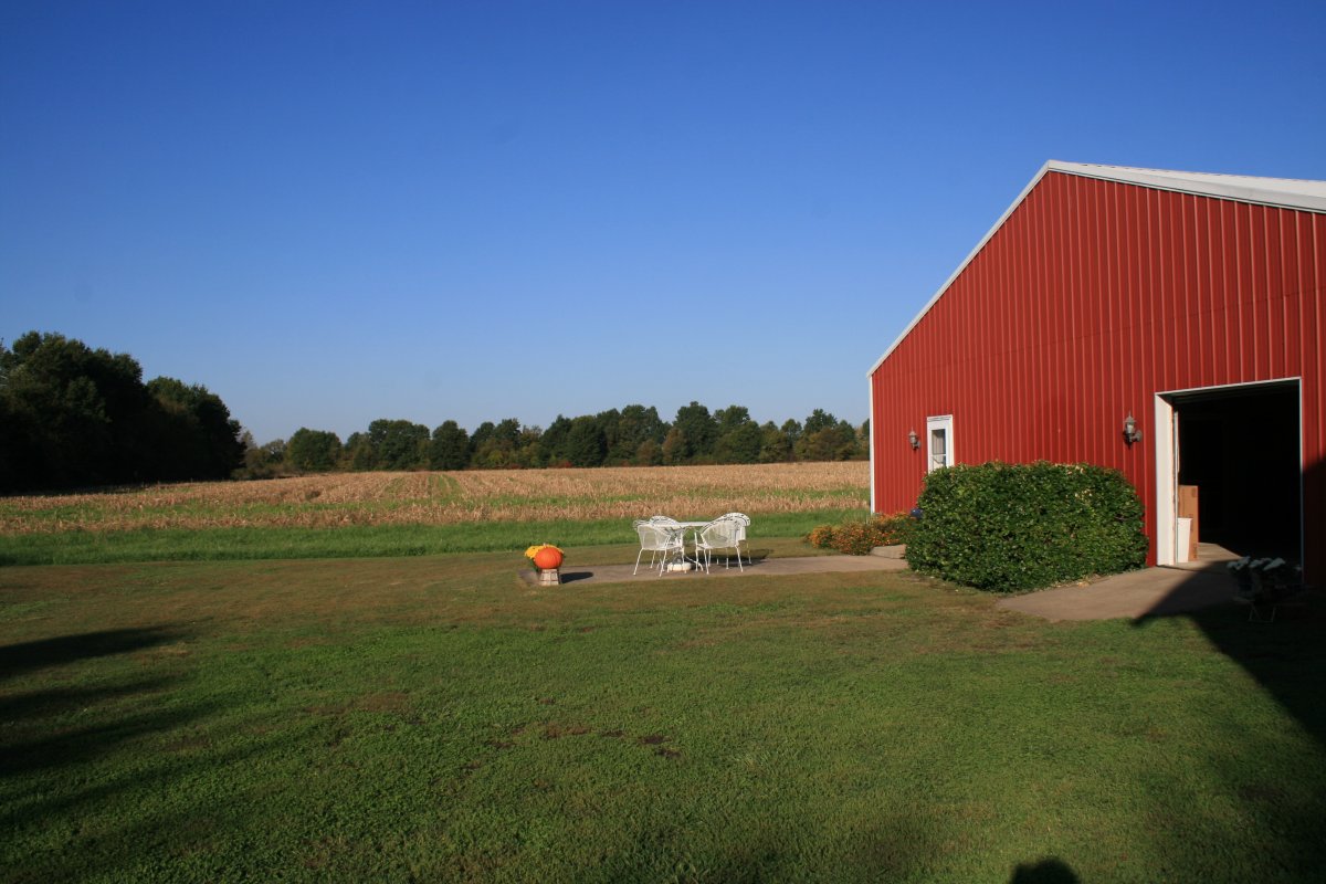
| The next morning we checked out the runways in a golf cart. Landing at Lamar on asphalt was the right decision. My RV would have gotten stuck in the mud here, or worse, not to mention tearing up the turf strip. |
| |
 |
|
|
Looking down one of the grass runways.
|
| |
 |
|
|
Diana and Tom's Citabria. Diana flew the Citabria out east back in 2007 and flew with the Trunk Monkeys: Link.
|
| |
 |
|
|
I stayed in the nice guest room amongst aviation memorabilia that the Richard's have in the corner of the hangar. I had the best night's sleep of my entire trip!
|
| |
 |
|
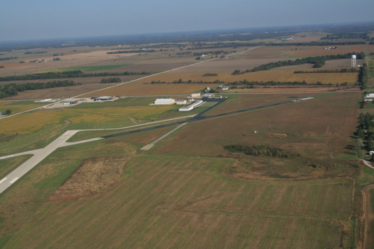
| Lamar Airport the next morning after takeoff. |
| |
 |
|
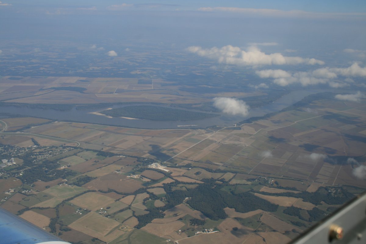
| There is the mighty Mississippi River down below. |
| |
 |
|
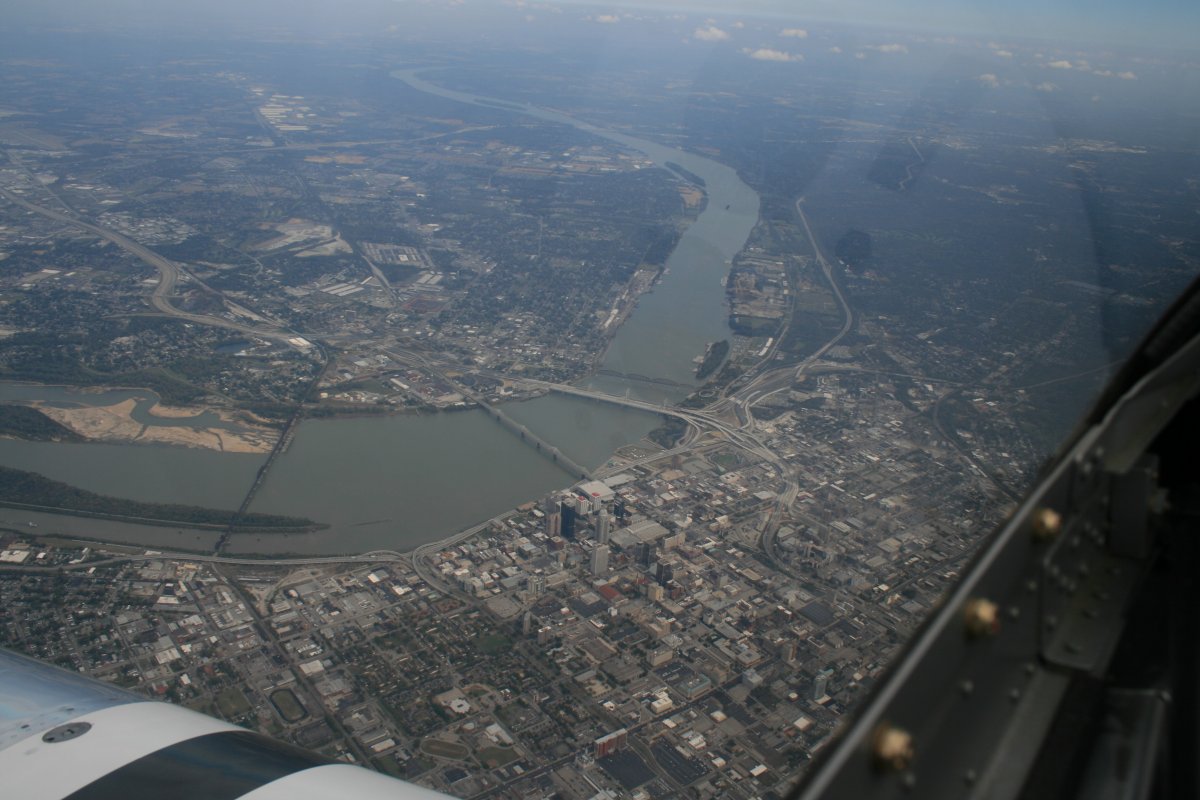
| About to pass overhead Louisville, Kentucky alongside the Ohio River. |
| |
 |
|
|
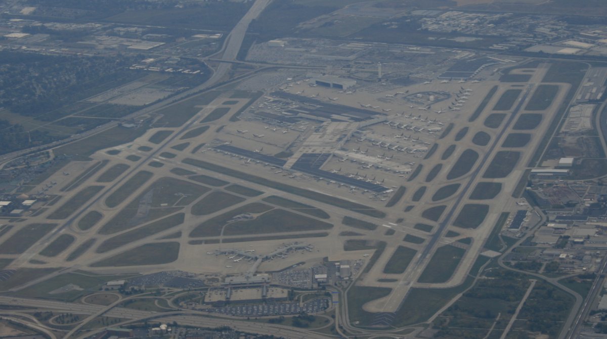
The Louisville Airport. Must be a hub for UPS; there are a bzillion UPS jets down below.
|
| |
 |
|
|
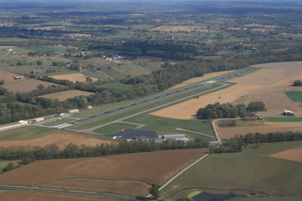
I made a quick stop at Cynthiana Airport for fuel. Cheapest fuel on the entire trip.
|
| |
 |
|
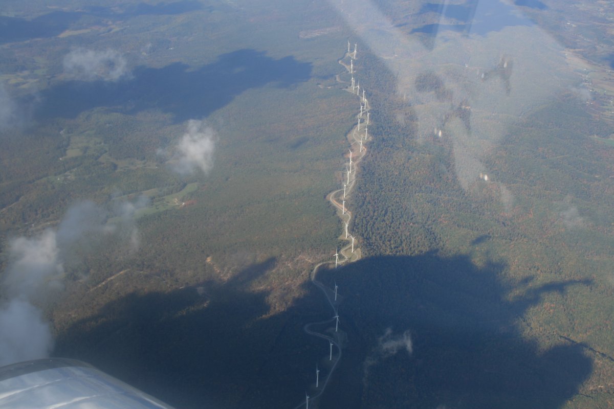
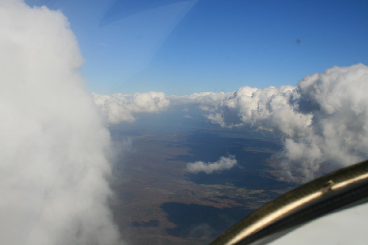
| Over the Appalachian Mountains. They have installed a lot more windmills in the last few years. |
| |
 |
|
|
I had to dodge big cumulous clouds for awhile.
|
| |
 |
|
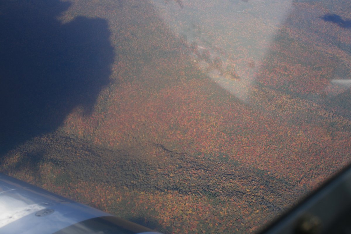
| Starting to see color in the highest part of the Appalachians. |
| |
 |
|
|
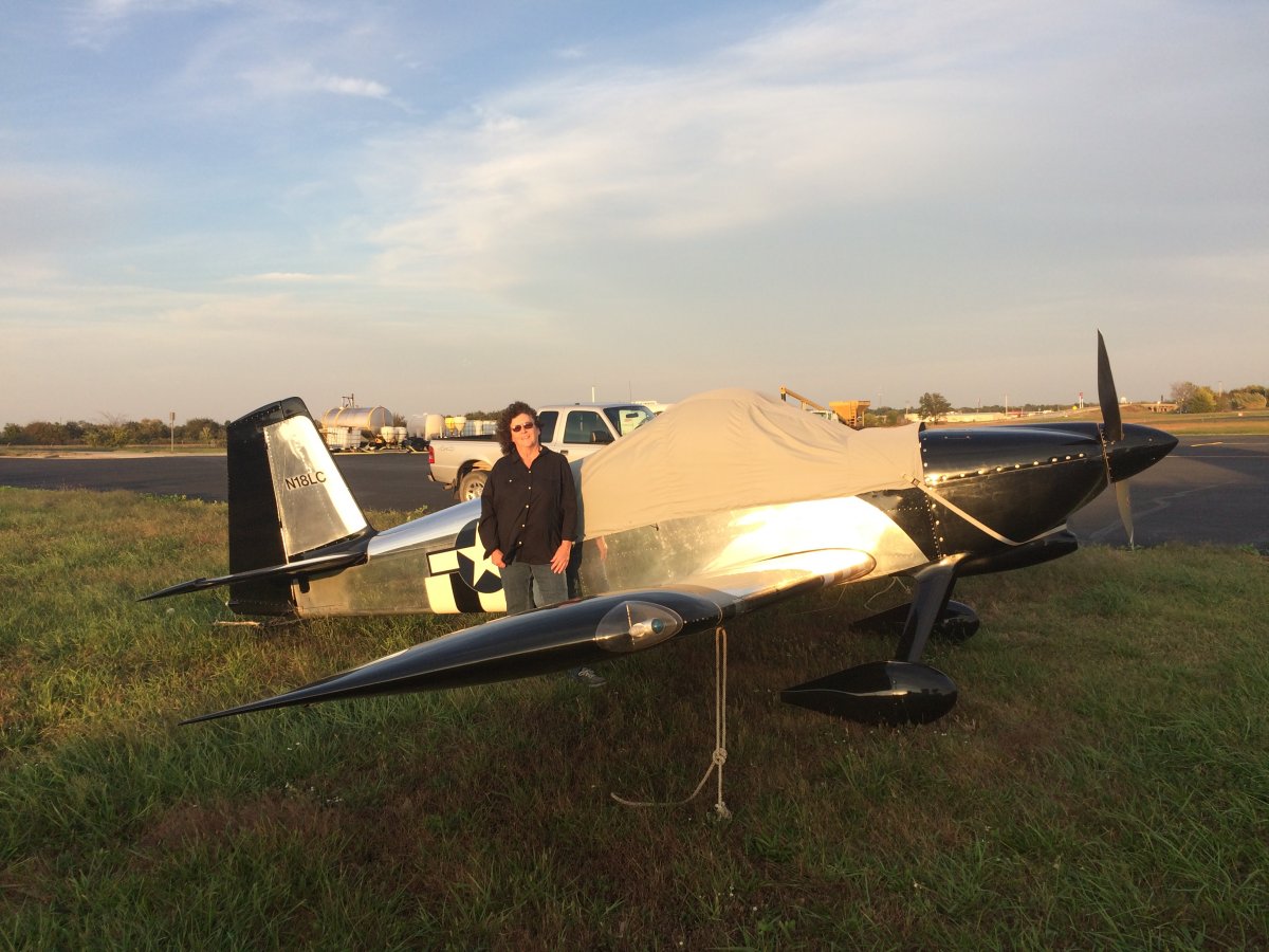
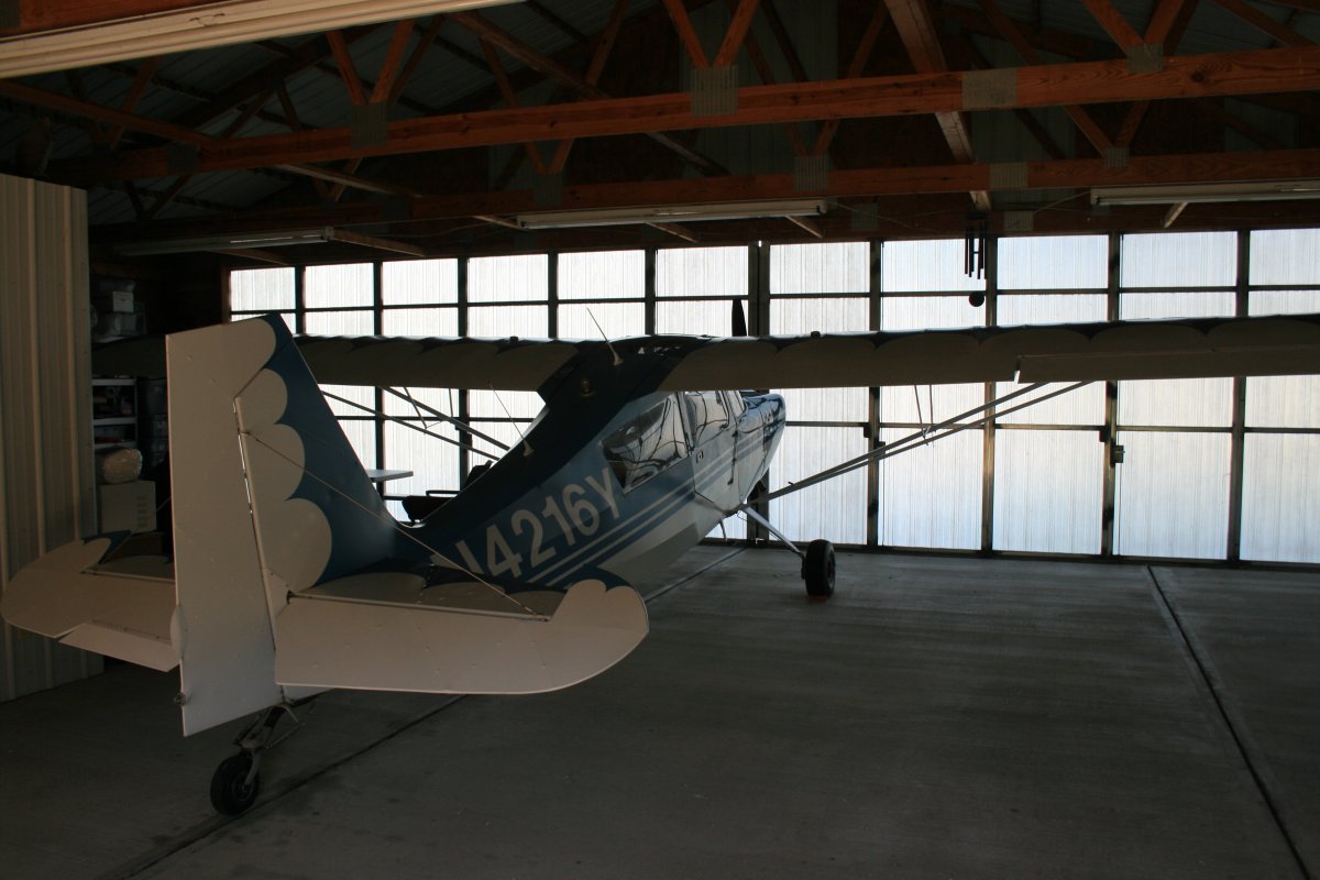
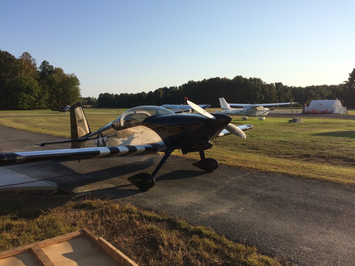
And then I was home. Nine days, 46 hours later. The RV performed flawlessly. What a great plane.
|
| |
 |
|
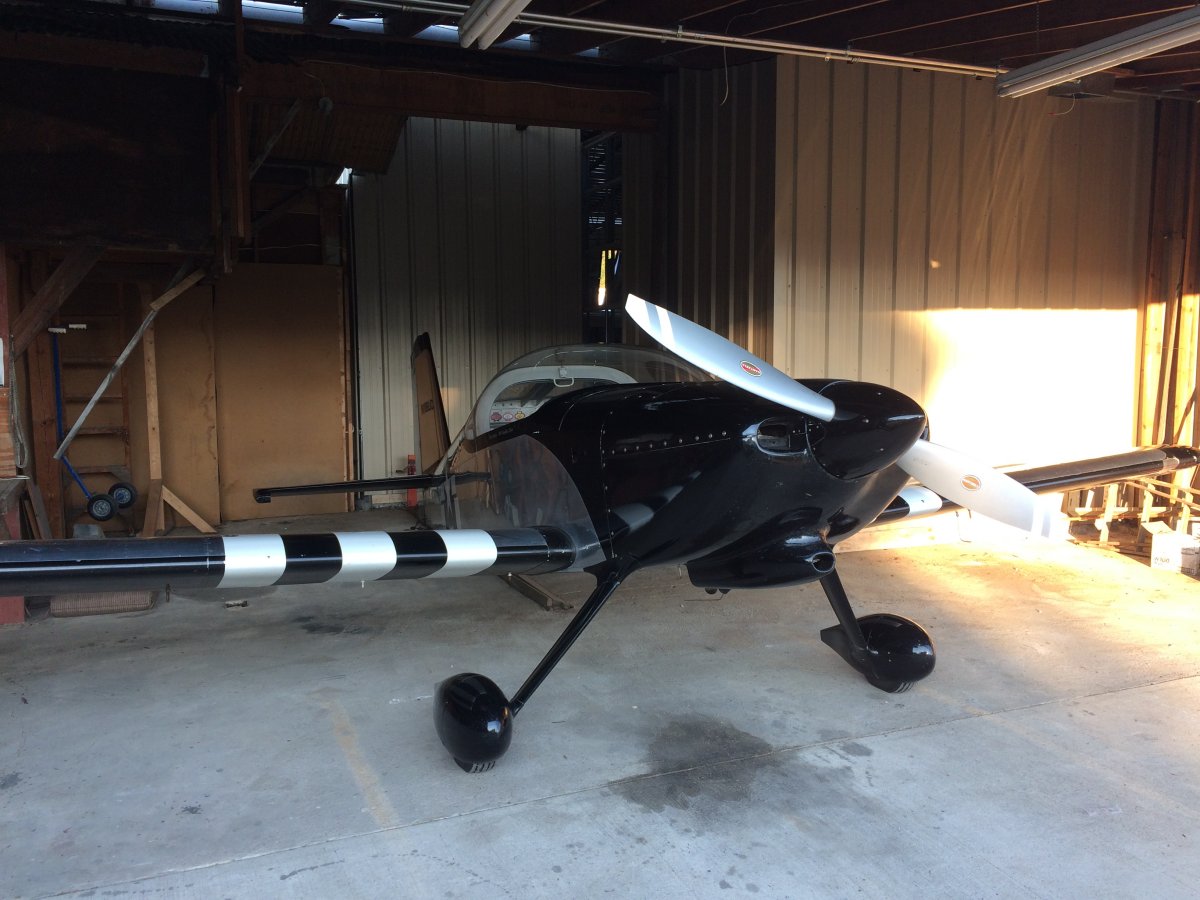
| The RV back in its' hangar after a job well done. |
| |
 |
|
| |
| |
|
|
|
|
|
|