Day 9- Monument Valley, Four Corners, Ship Rock |
||||||
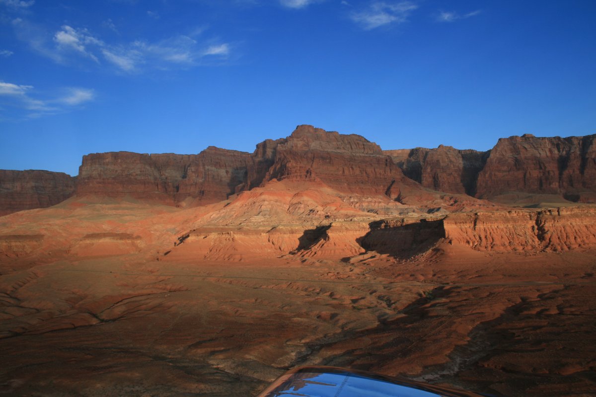
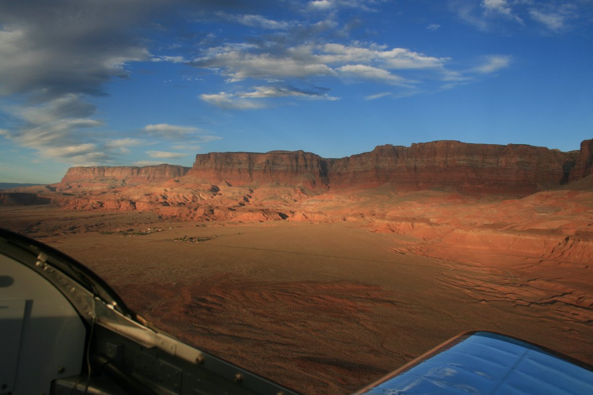
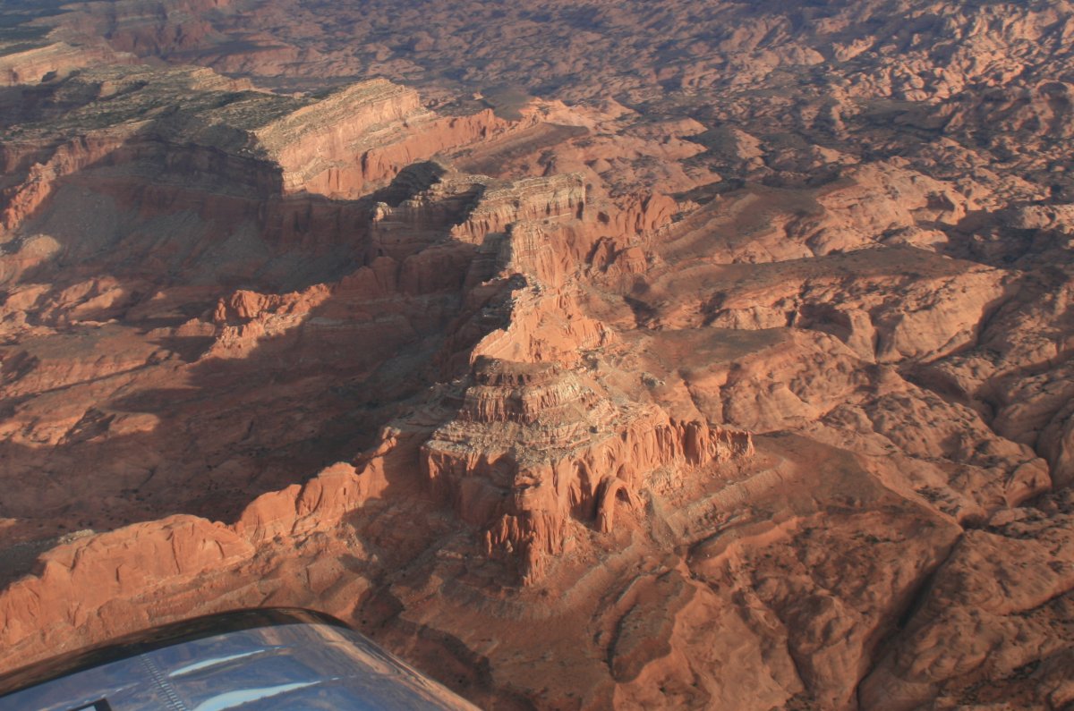
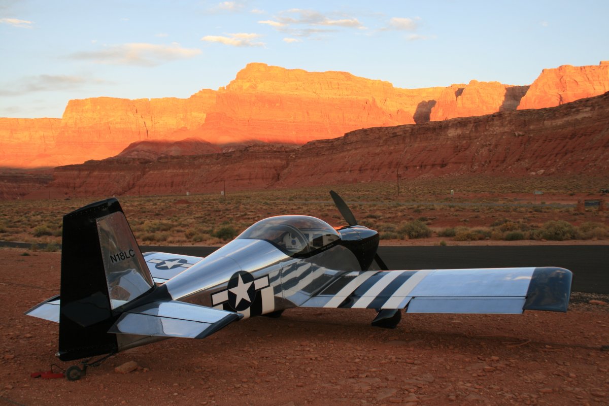
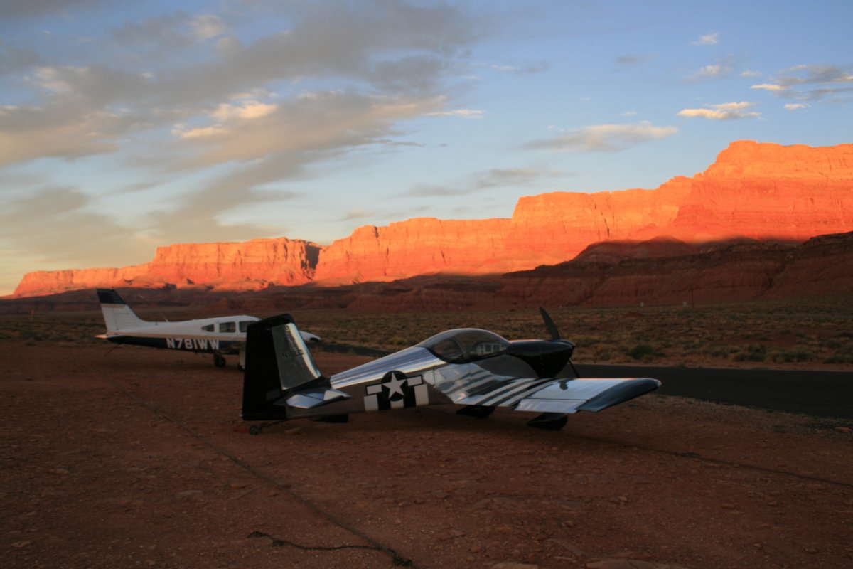
The next morning with the early morning sun lighting up the red cliffs. | ||||||
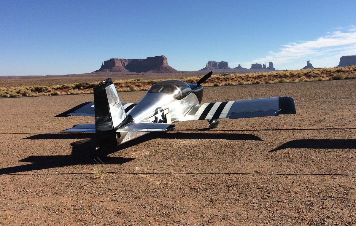
Another plane had flown in yesterday after me.
I had a long way to go today. My destination was Lamar, Missouri, 820 miles. Plus, I was going to lose an hour or two (I wasn't really sure) due to the time change.
|
||||||
Daylight was burning so I had to pass on the Marble Canyon Lodge's famous breakfast. But I would get my great breakfast this morning as you will see. | ||||||
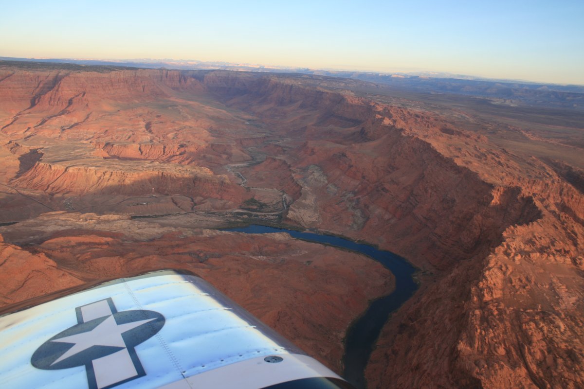
Heading north up the canyon.
|
||||||
One last look at Lee's Ferry and the Pariah River. | ||||||
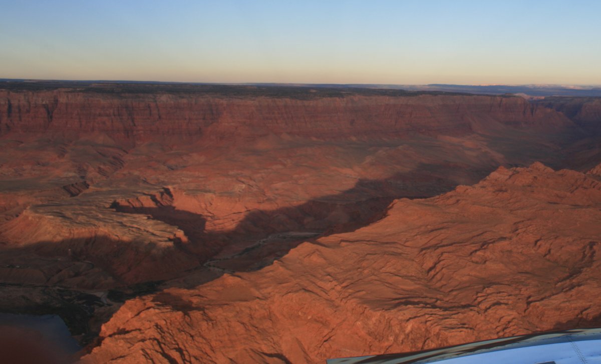
It's all about the lighting. I made a quick stop at Page to have my good friends at Classic Aviation top off the RV with fuel. There weren't a lot of places to get gas between Page and my planned fuel stop at Raton, New Mexico. |
||||||
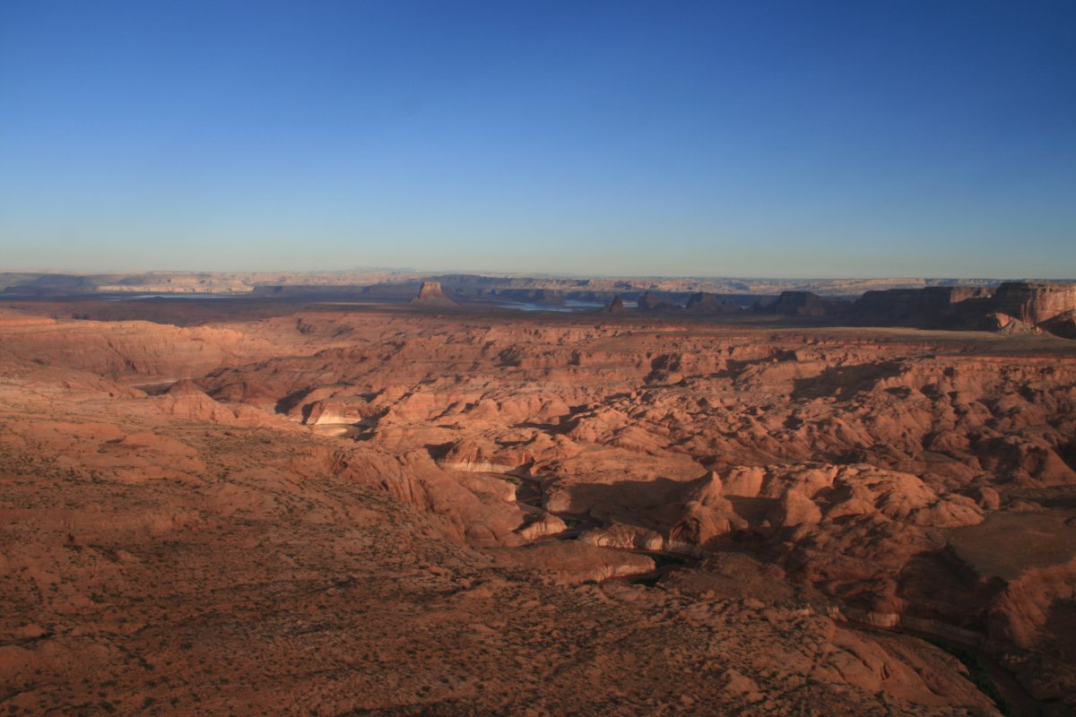
Departing Page, I flew up the eastern branch of Lake Powell. I was looking for the famous Rainbow Bridge. I had somehow overlooked it two years ago. | ||||||
It would have been a simple matter to get the latitude/longitude of the Rainbow Bridge and plug it into the GPS. But it was on the chart, so I thought it would be a simple matter to find it. Big mistake.
|
||||||
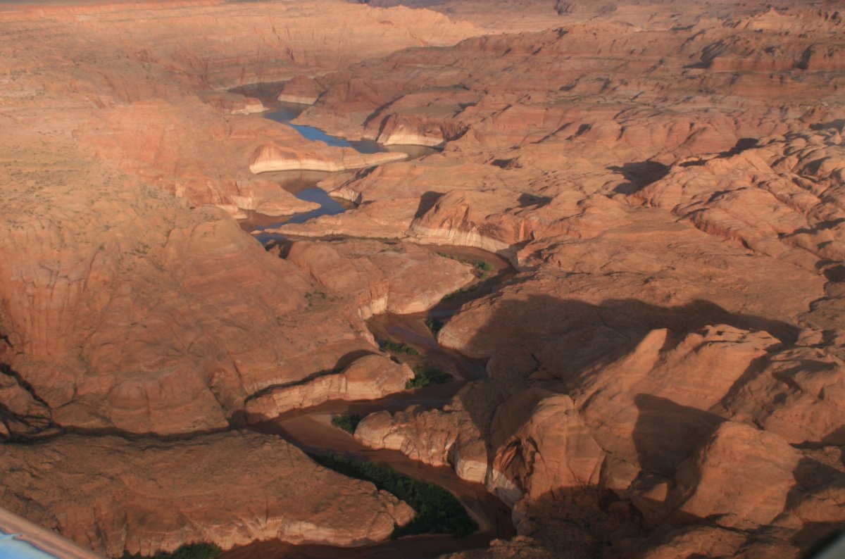
But I was wrong. I couldn't find it, and pressed for time, I had to move on. |
||||||
Well, it just gives me a reason to come back some day!
|
||||||
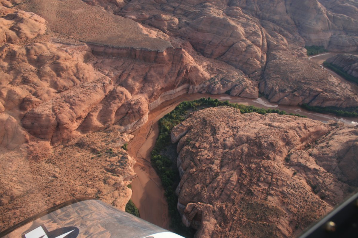
It looks like a natural bridge down there at the base of the rock but that isn't it. | ||||||
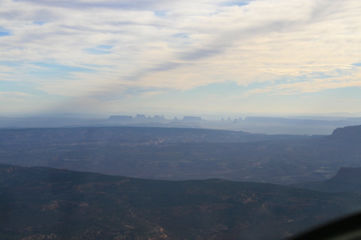
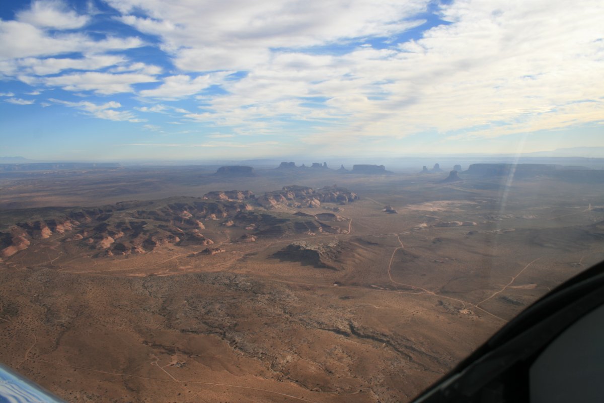
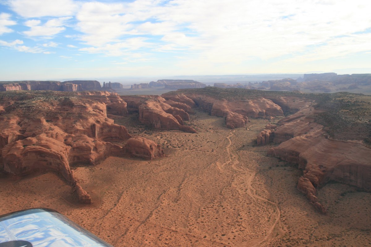
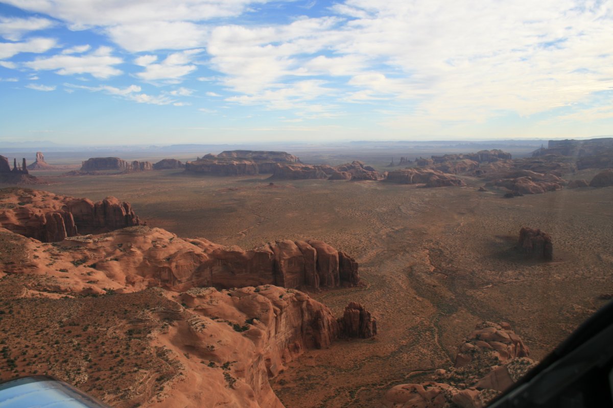
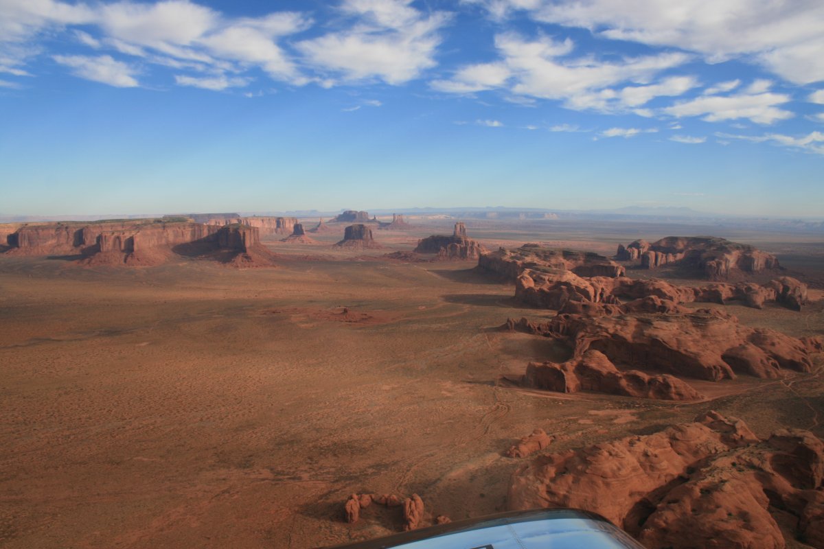
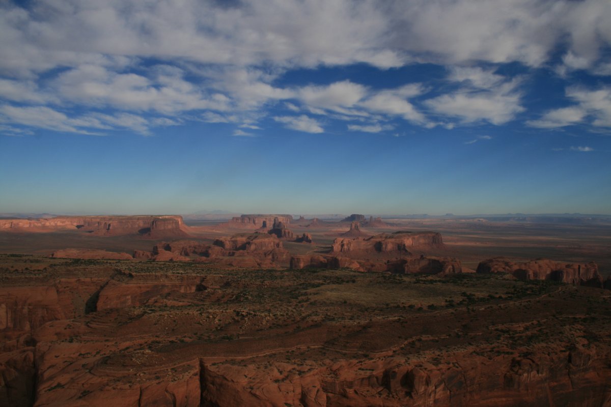
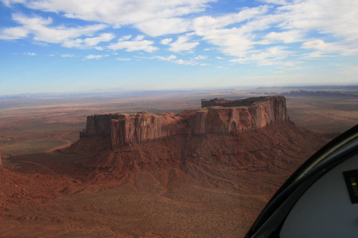
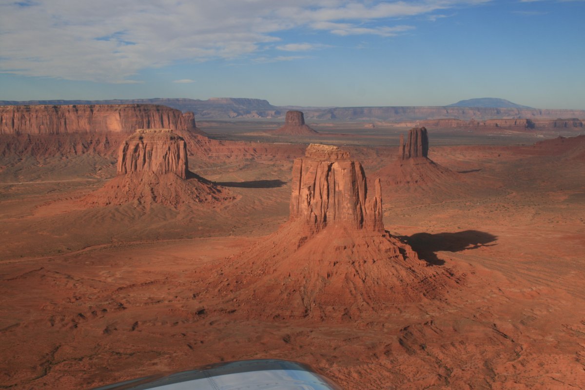
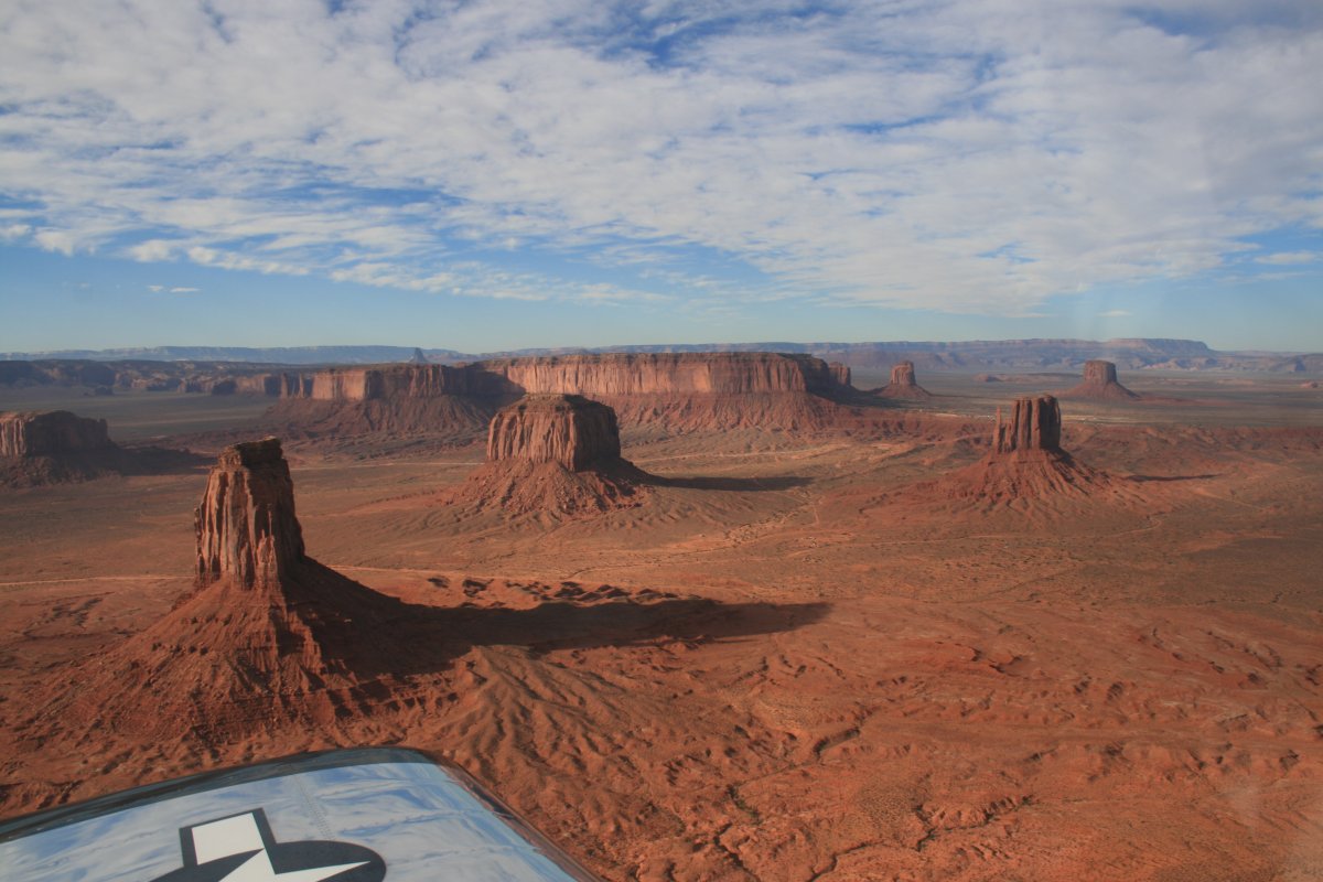
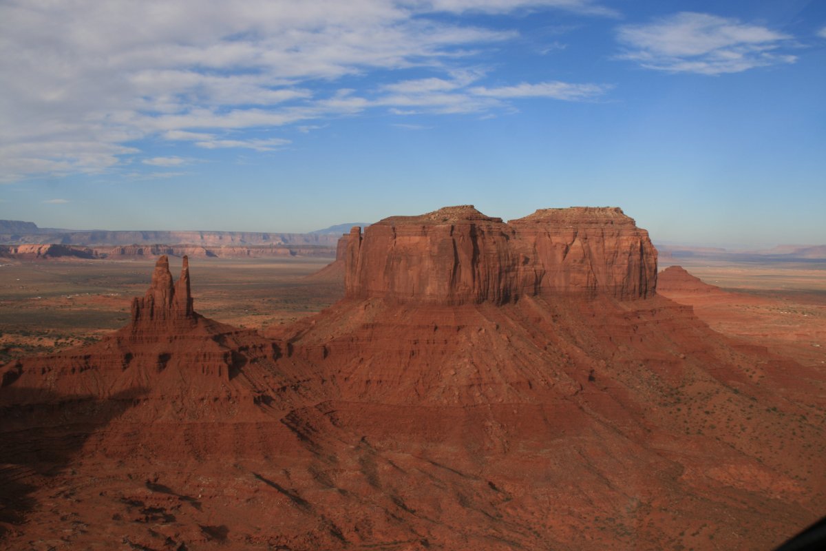
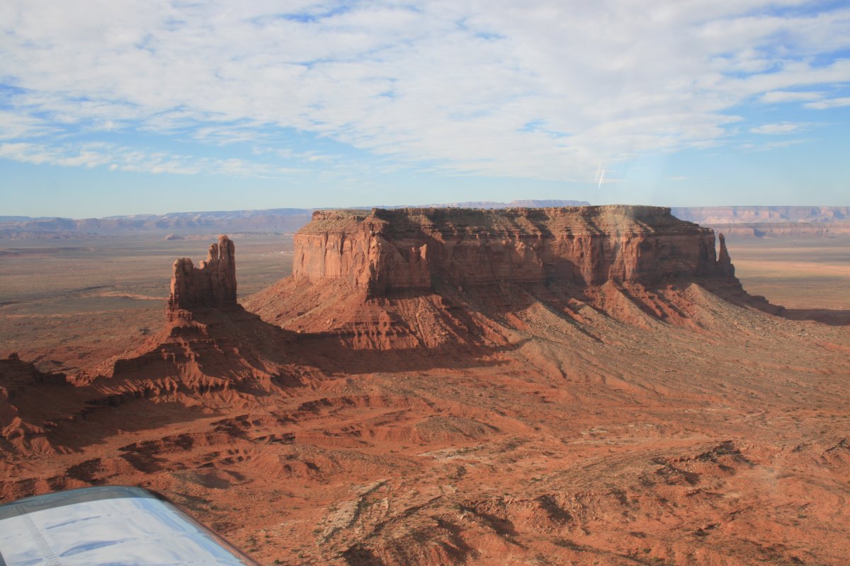
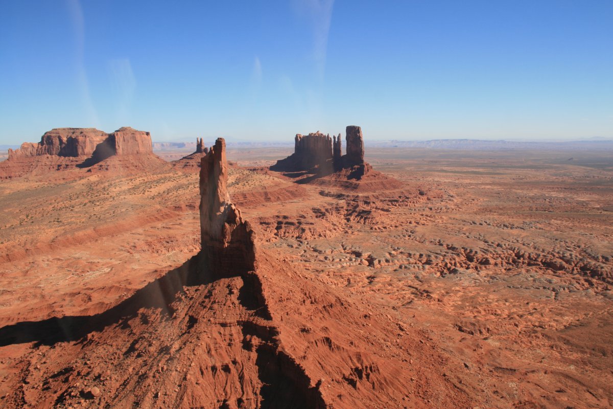
I pressed on to my next destination: Monument Valley. The visisbility was excellent today. I could see the monuments a long ways away. I was making good time heading east thanks to a tailwind so I knew that would help me get to Missouri before it got dark. | ||||||
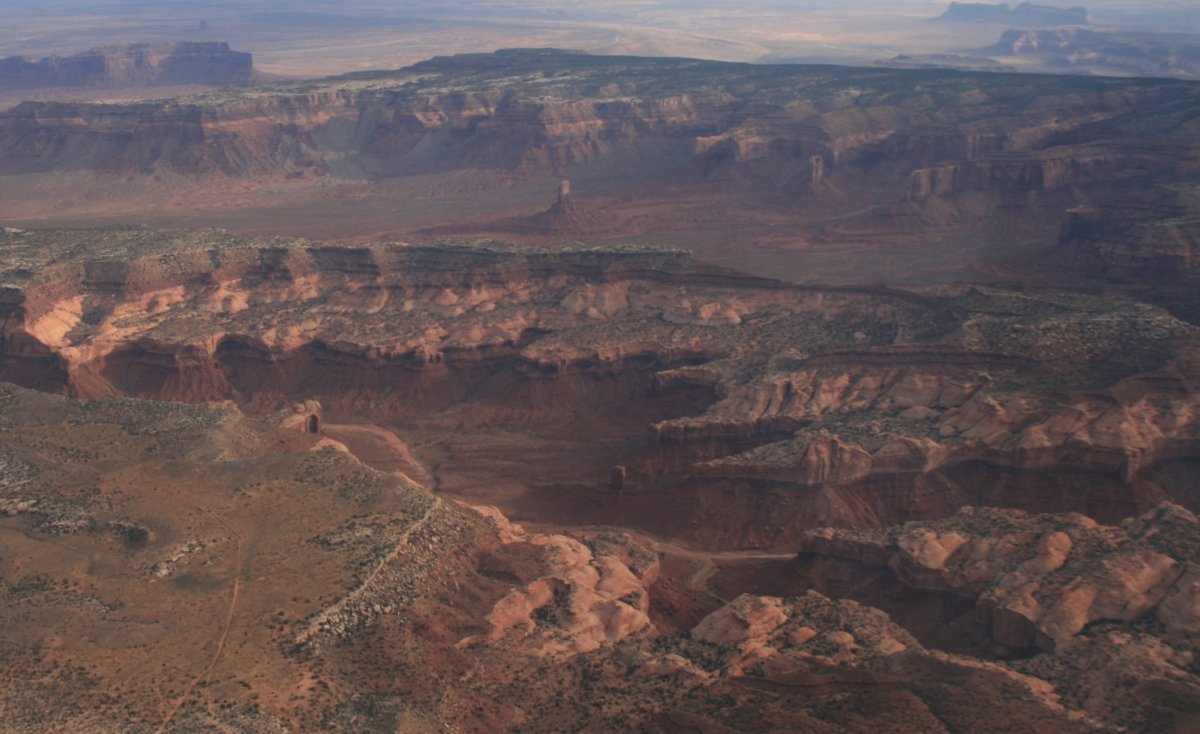
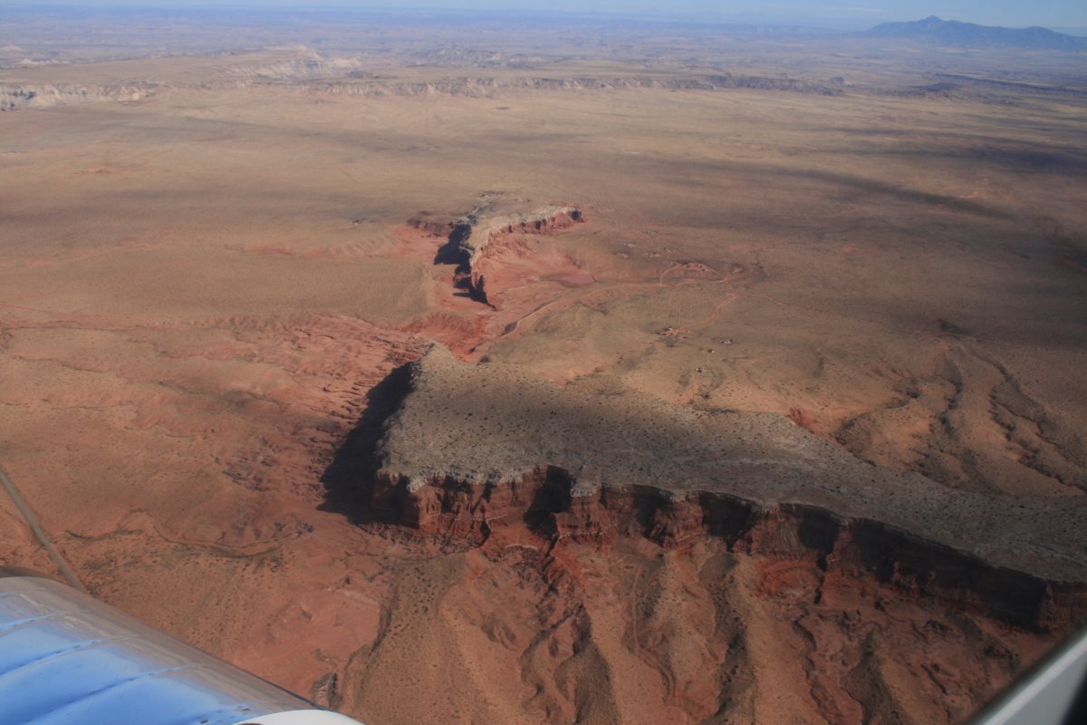
Another valley adjacent to Monument Valley. | ||||||
|
||||||
|
||||||
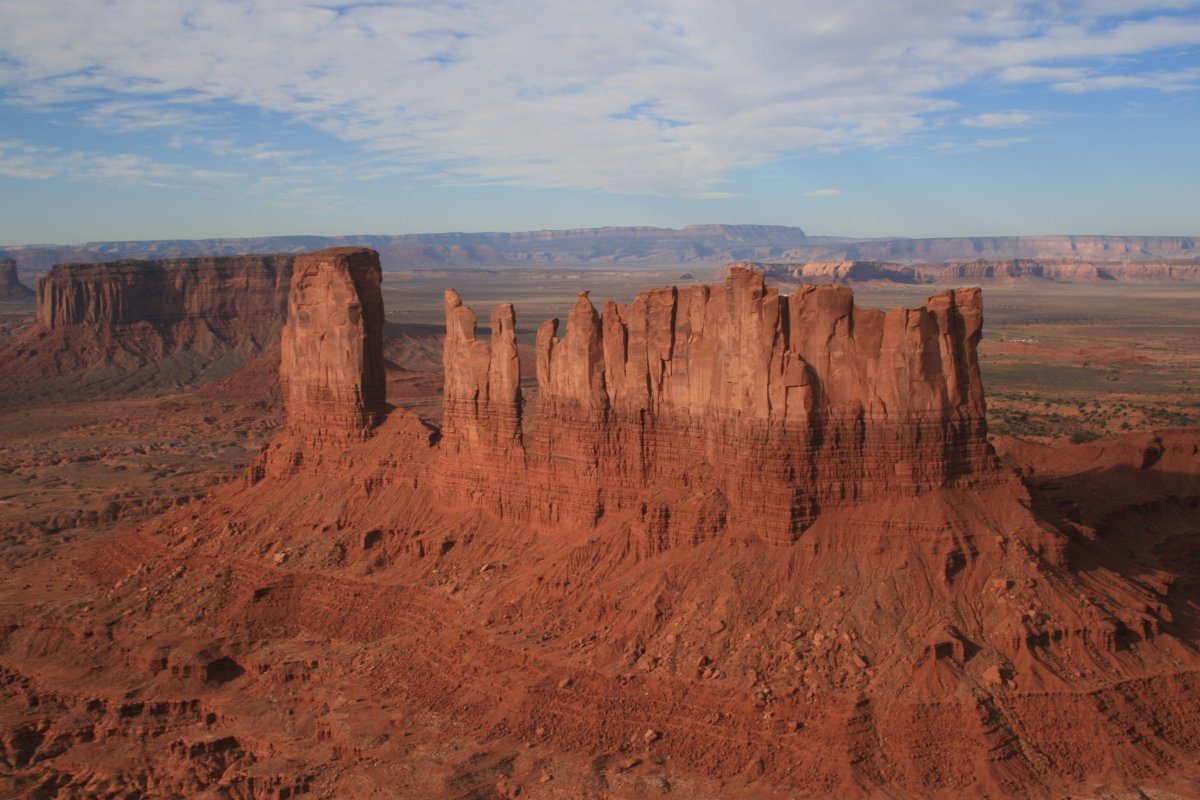
Wow, it almost doesn't look real. | ||||||
My previous time here it was cloudy and misty. But not today, the conditions were excellent for some good monument photography. | ||||||
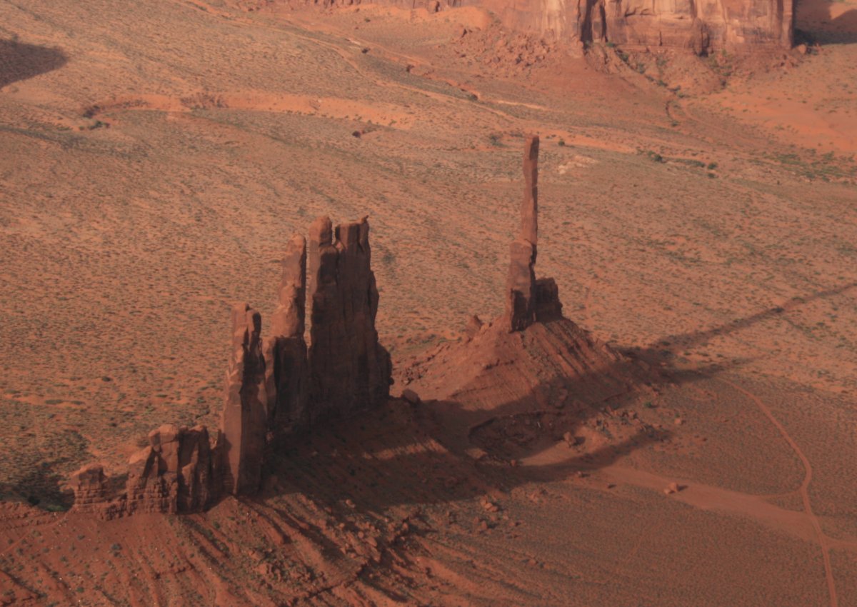
A good look at the "Totem Pole" rock spire on the right, featured in Clint Eastwood's movie "The Eiger Sanction".
|
||||||
|
||||||
|
||||||
|
||||||
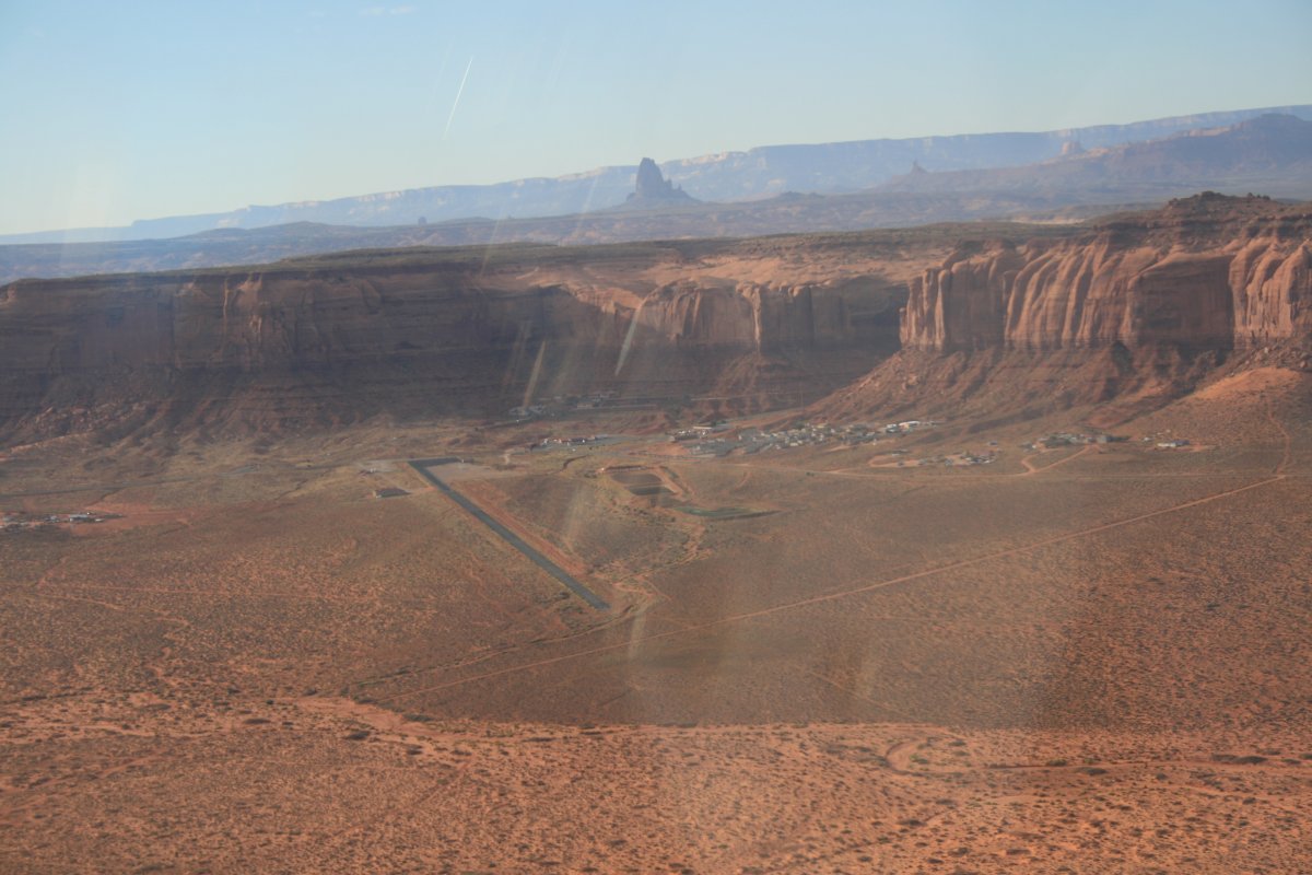
And there is the Goulding Trading Post airstrip. I had a great breakfast at their restaurant five years ago. I figured with the big tailwind, I had time to stop for breakfast! | ||||||
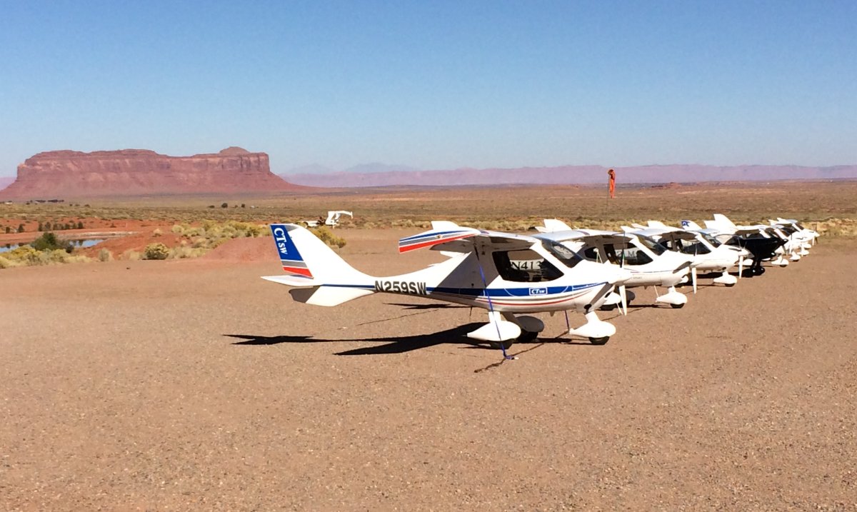
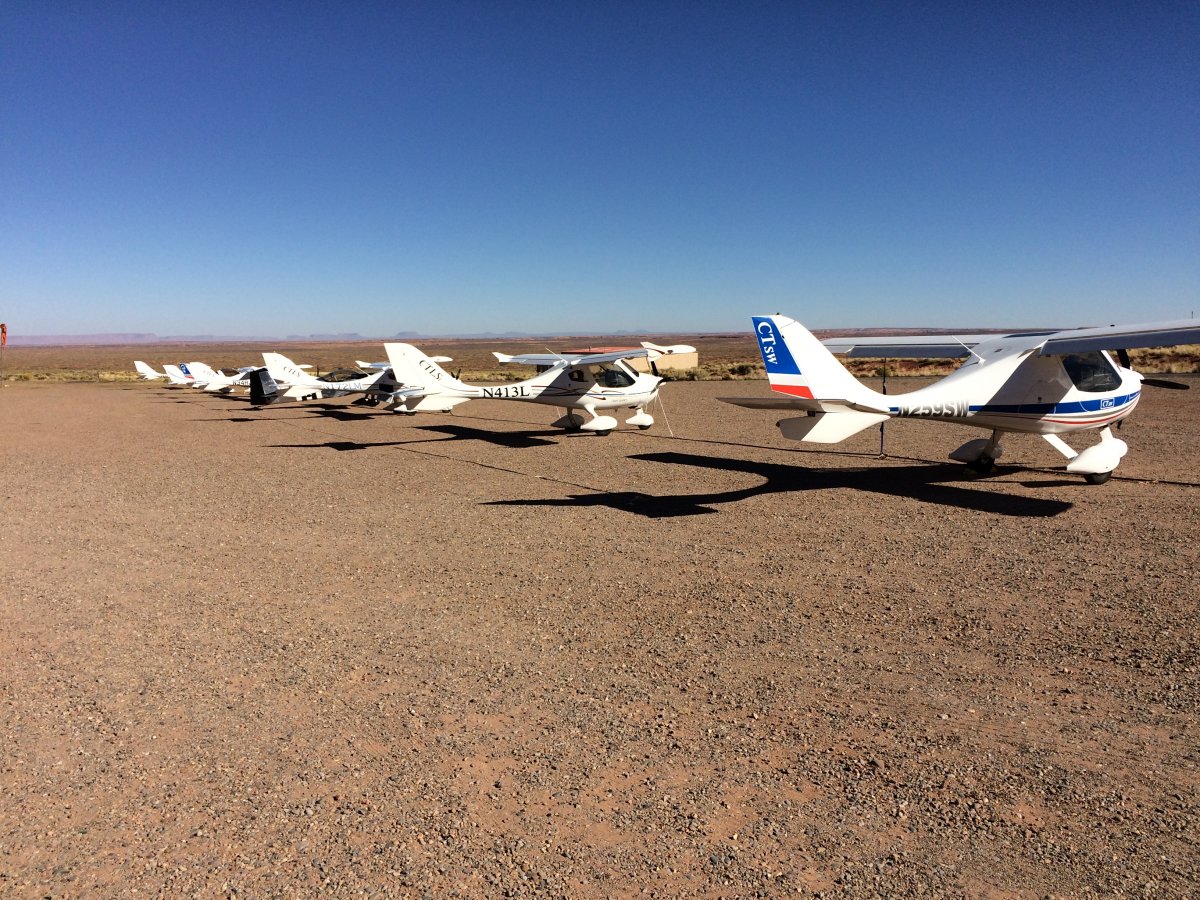
I landed and taxiied on to the ramp area. I was surprised to see all these Light Sport planes pulling in right behind me. I had seen them at Page. Their group had the same idea I had -- get breakfast at Monument Valley! | ||||||
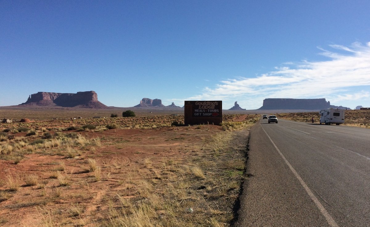
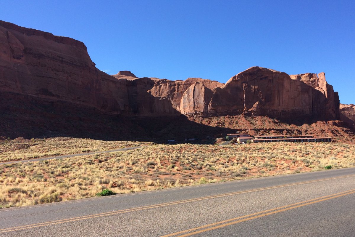
I had to walk to the Lodge/Restaurant but the scenery on the walk wasn't bad. | ||||||
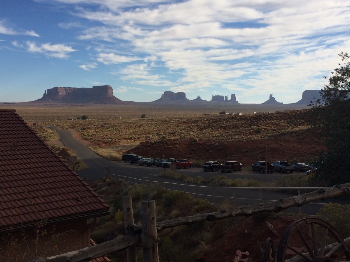
The view of Goulding's Lodge and Restaurant from the road. | ||||||
Looking down from the hill.
|
||||||
John Wayne would have approved.
|
||||||
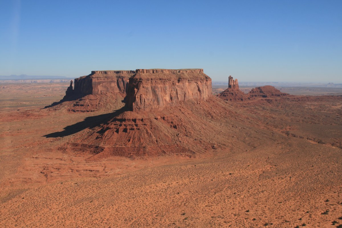
The breakfast was as good as I remember it. Score! Then it was time to get going. Because the airport is on the western edge of Monument Valley I have to fly through it again ... darn the bad luck!
|
||||||
|
||||||
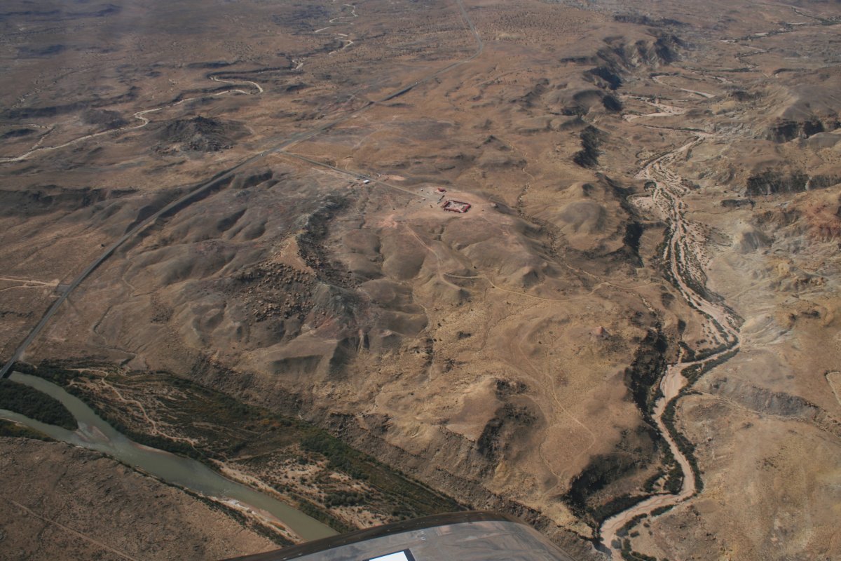
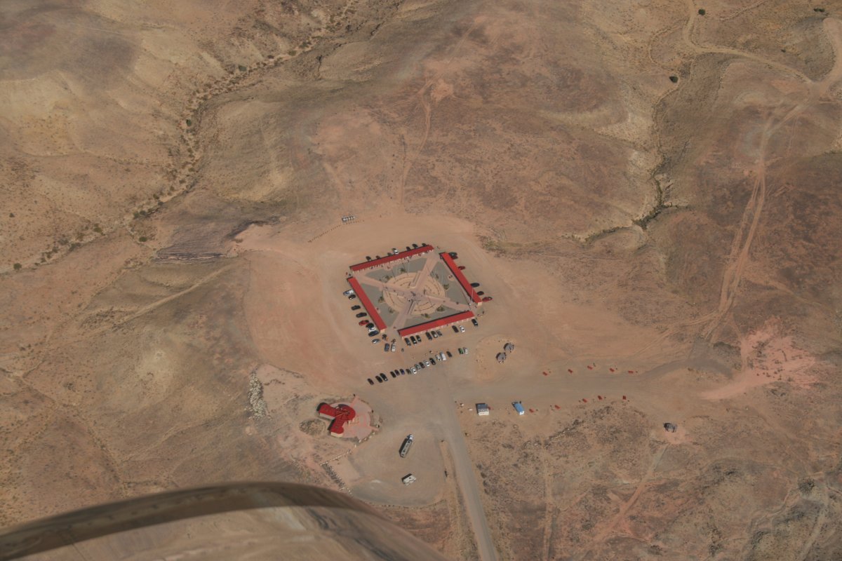
There were two more things I wanted to see before I climbed to altitude and began the transit home. The first was Four Corners, which is where four States come together at one point: Utah, Colorado, Arizona and New Mexico. I plugged 37 North and 109 West into the GPS and after that it wasn't too hard to find. There it is below.
|
||||||
The San Juan River runs nearby.
|
||||||
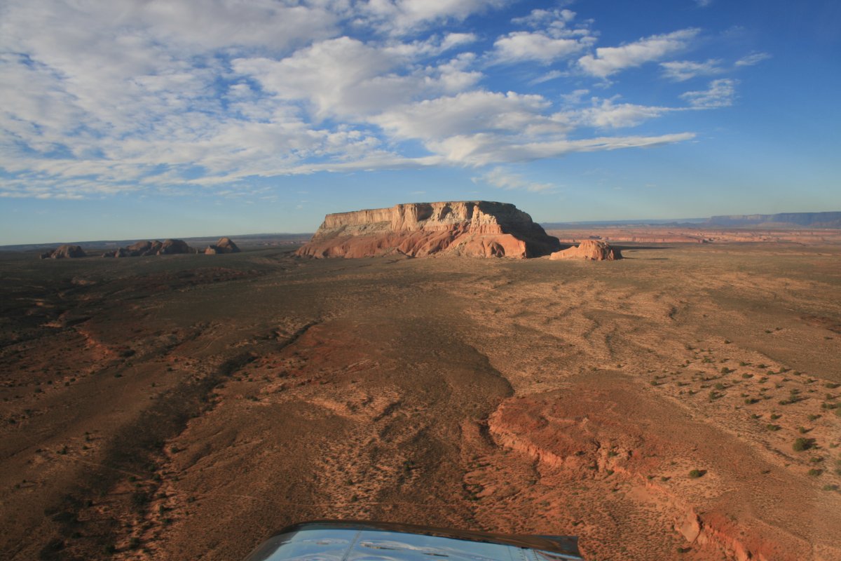
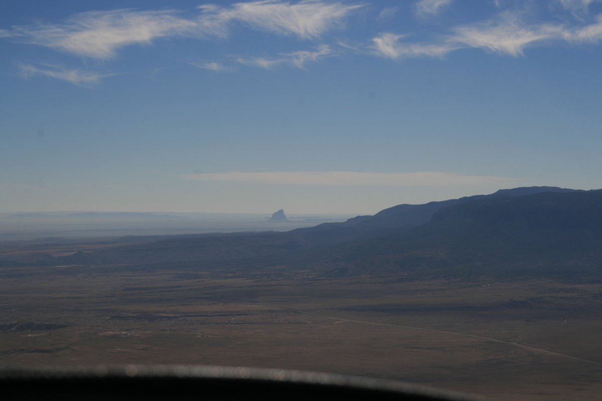
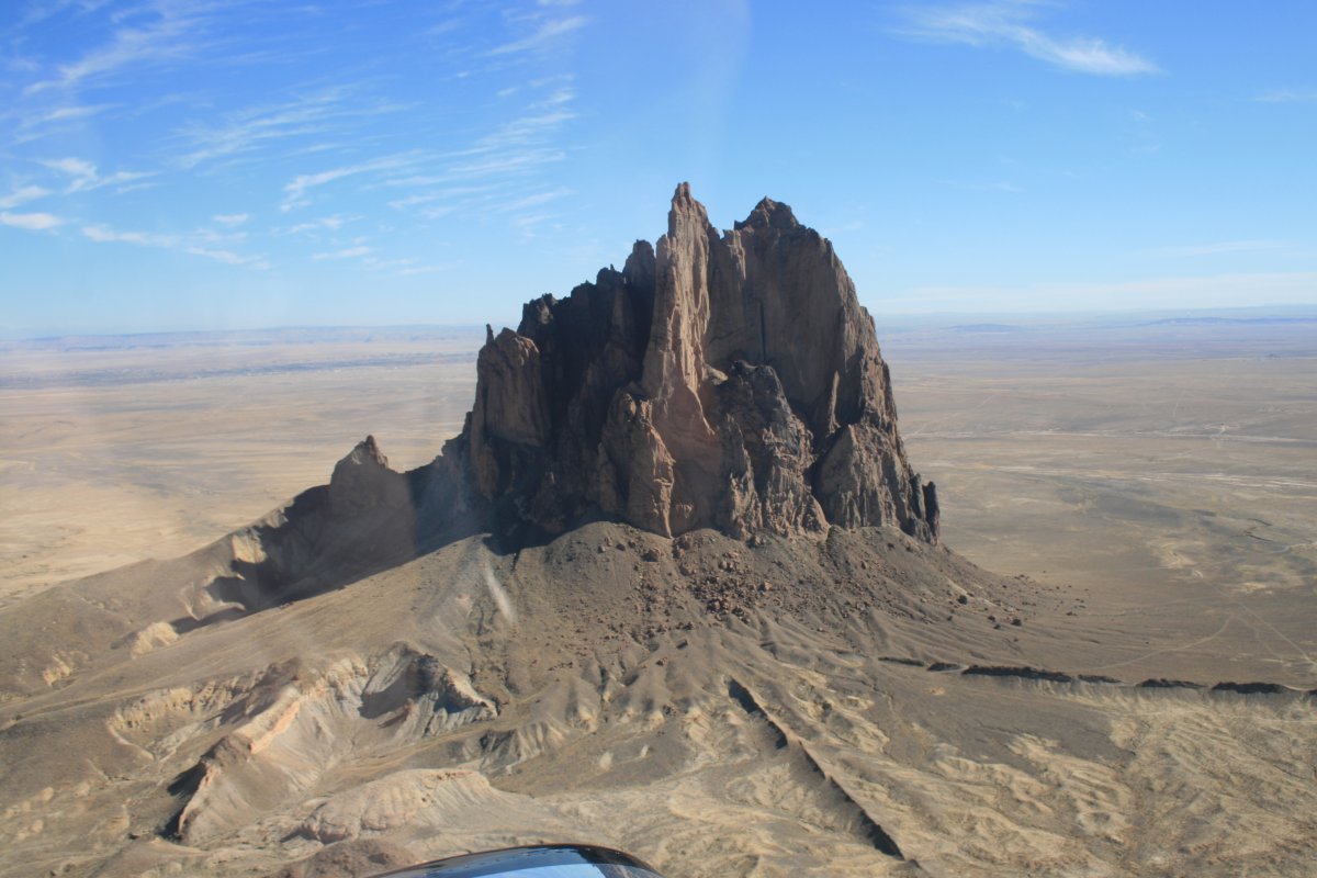
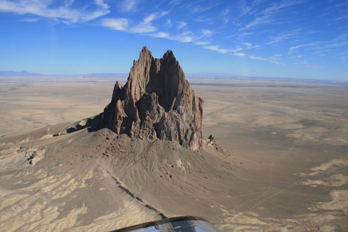
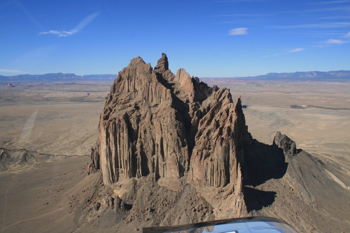
My last thing on the list of things to see was Ship Rock. It wasn't too hard to find either; I could see it in the distance from Four Corners. | ||||||
It was named Ship Rock for its' resemblance to an enormous 19th-century clipper ship. | ||||||
I circled around it and then that was that. I climbed up to 11,500 feet and headed east towards my fuel stop at Raton, New Mexico.
|
||||||