June 9-10, 2011 - Wilmington, NC |
|
A friend of mine from work, J-Mac, and I decided to fly down to
Wilmington, North Carolina and visit our ex-boss, Bruce D. who is
living the good life down there. Weather looked great for the entire
weekend. I flew over to Easton, had some good Huevos Rancheros
at their on-field restaurant, picked up J-Mac and we enjoyed a pleasant
flight down to Wilmington. Less than two hours. Love that
RV.
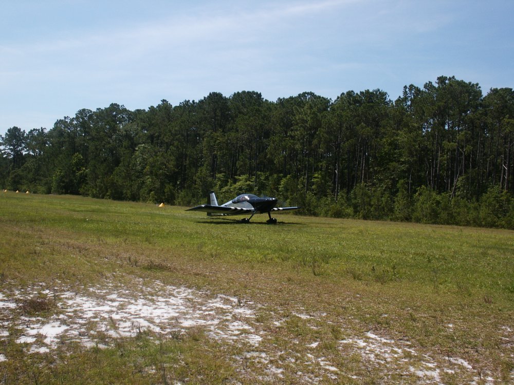
Instead of landing at Wilmington International, we landed a a
privately-owned, public grass strip called Holly Ridge/Topsail Island
Airport (N21). This part of North Carolina is pretty much one
big forest. Topsail Island Airport is a grass area cut out of the
trees. |
|
 |
|
|
This grass airstrip was nicer than
most. Long and wide: 3600 feet by 88 ft. It was
extremely well marked with yellow cones along the edges. Hard and
smooth. |
|
 |
|
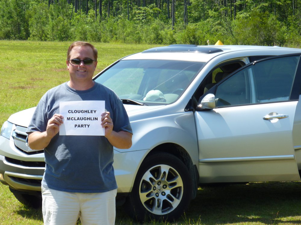
| It was considerate of
Bruce to make a sign so that we could find him in the crowd. |
|
 |
|
|
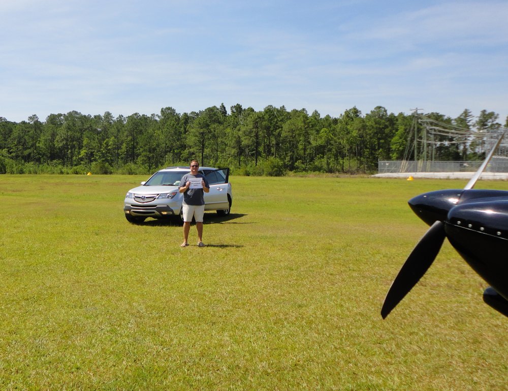
As you can see, the airport was quite
crowded! |
|
 |
|
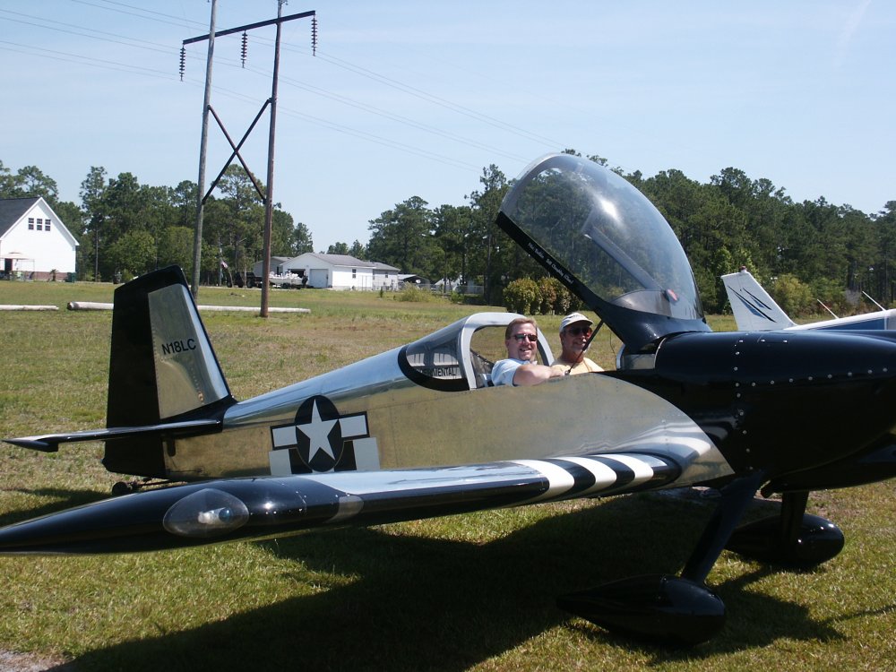
| There was only one
plane tied down at the airport -- with grass growing around the landing
gear. There was a box with a slot in it for airplane parking:
$5/day. I stuffed a ten in the slot and we headed for the
beach. |
|
 |
|
| Fifteen minutes
later we are overlooking the Atlantic Ocean drinking a cool
beverage. This is at Topsail Island, north of Wilmington. |
|
 |
|
| Yeah, life is
tough. |
|
 |
|
|
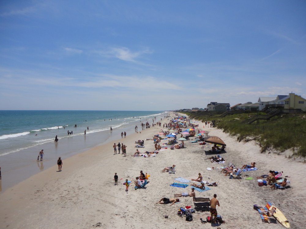
Looking North from the fishing pier
down the beach. The restaurant/bar we were at is to the left of the
American flag. |
|
 |
|
| Looking south. |
|
 |
|
|
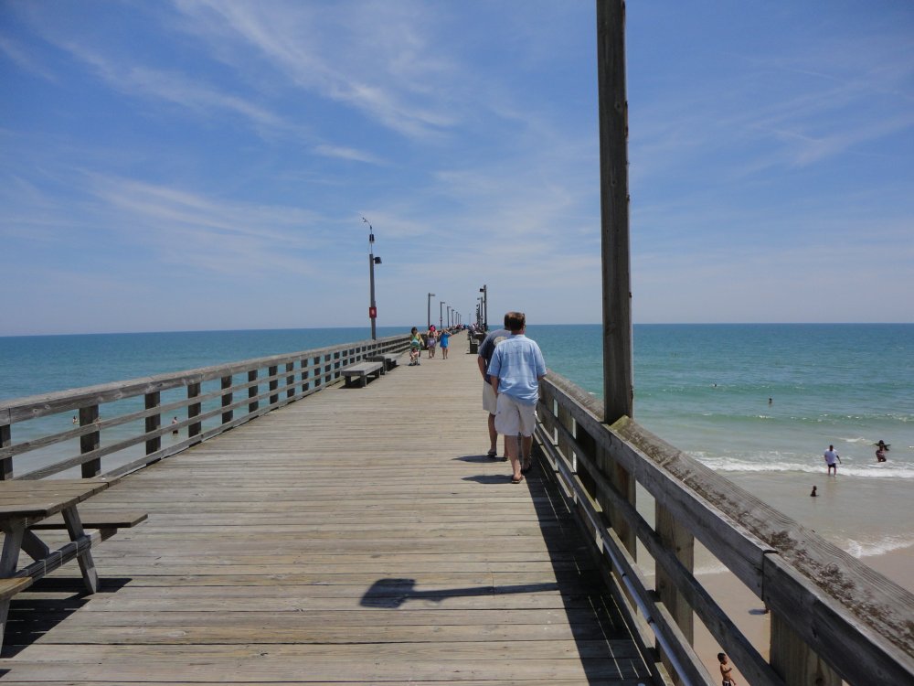
Looking east. |
|
 |
|
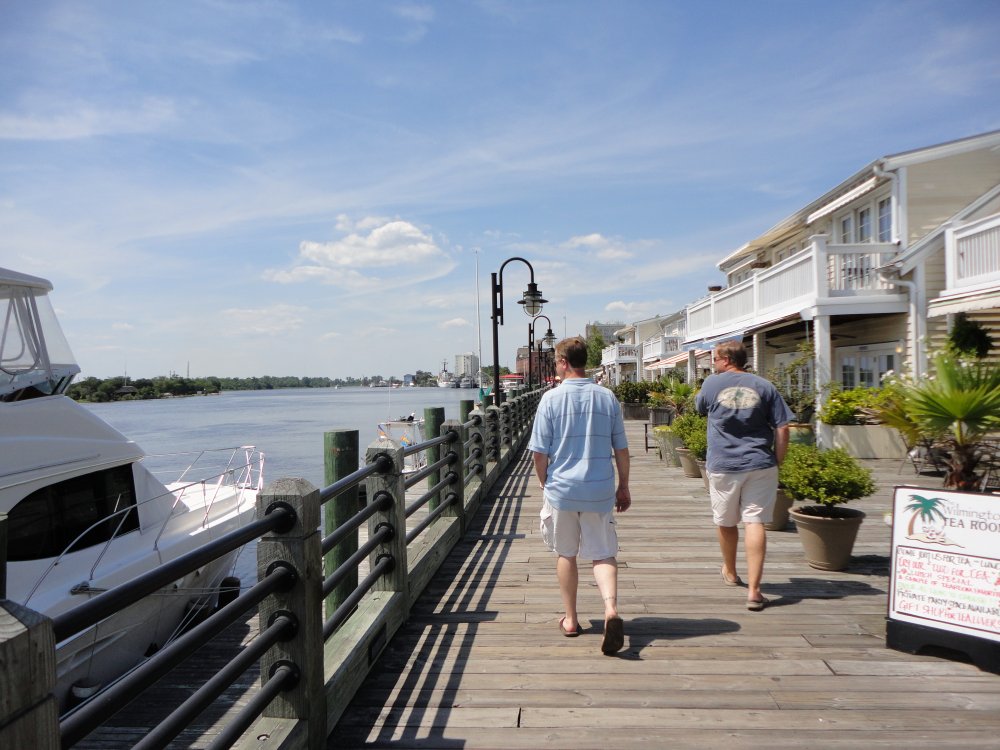
| After a couple of
hours at Topsail Beach, we headed over to Wilmington and checked out
Riverwalk, along the Cape Fear River. There are lots of nice
restaurants and bars. |
|
 |
|
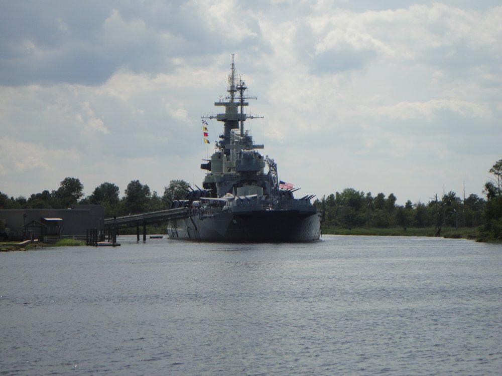
| Across the River is
the U.S.S.
North Carolina (BB-53), a battleship that fought throughout the
Pacific in World War II. |
|
 |
|
| I instantly
recognized Yard Patrol craft from the U.S. Naval Academy.
Midshipmen drove them down here as part of their summer cruise
training. |
|
 |
|
|
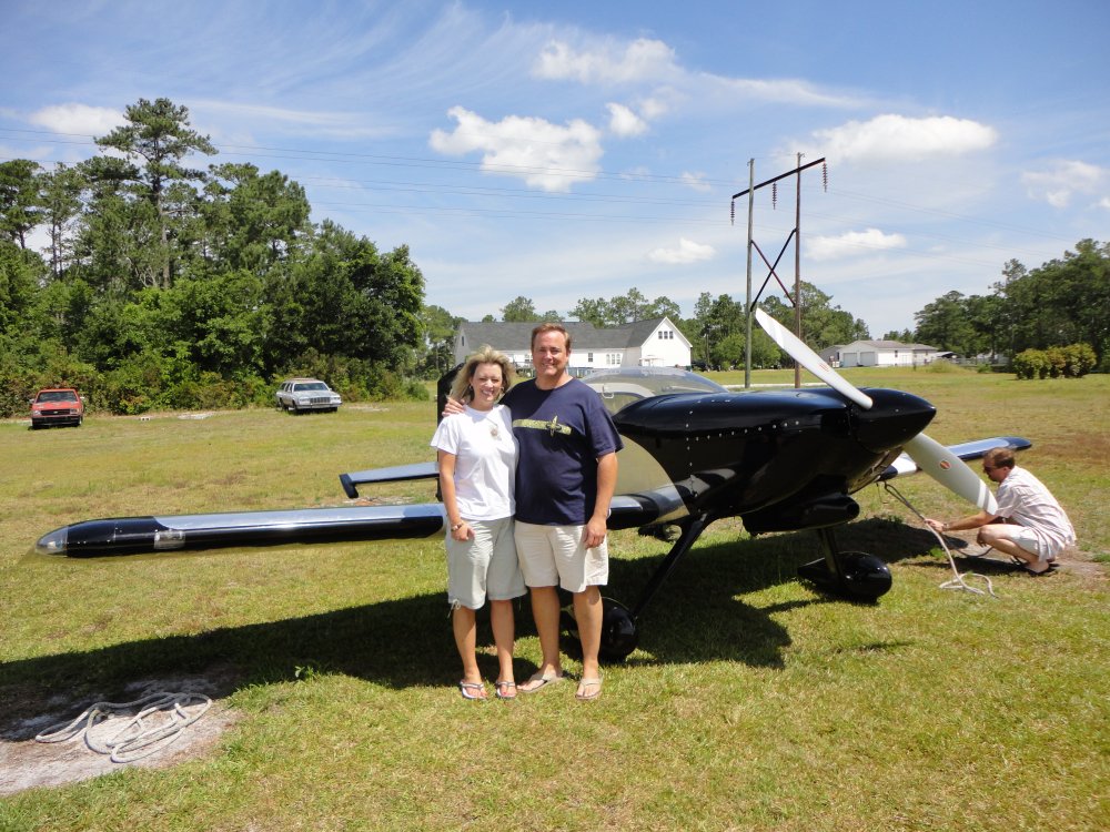
Bruce's wife Michelle, who we met for
the first time, wanted to go for a ride in the RV. I
asked her if she wanted the scenic ride or the thrill ride. No
hesitation. Thrill ride!
So Sunday morning we all headed out to
the airport. |
|
 |
|
| Ready to go
flying. |
|
 |
|
|
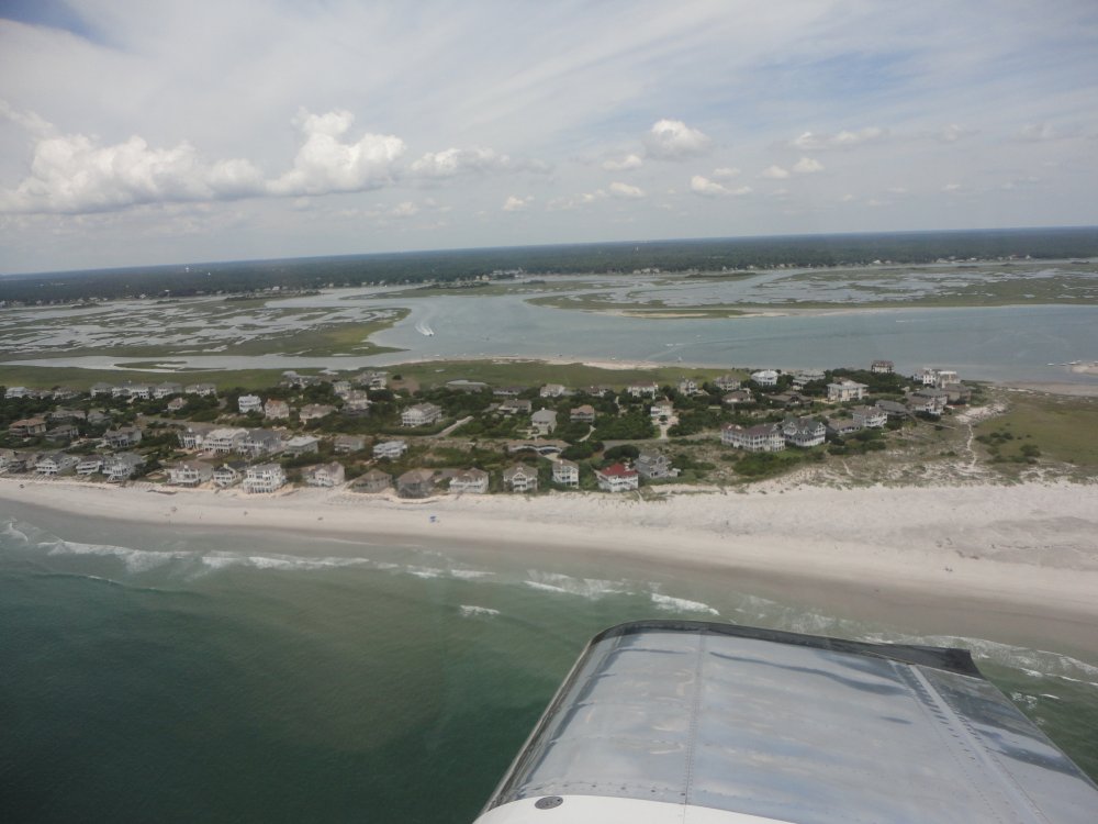
I included the Scenic flight
anyways. This is the north end of Figure Eight Island. I'm
guessing this is where the rich and famous reside because there are some
seriously nice houses down there. |
|
 |
|
| The south end of
Figure Eight Island. I am told that the founding CEO of the company
that I work for owns the last house on the left. Not bad. |
|
 |
|
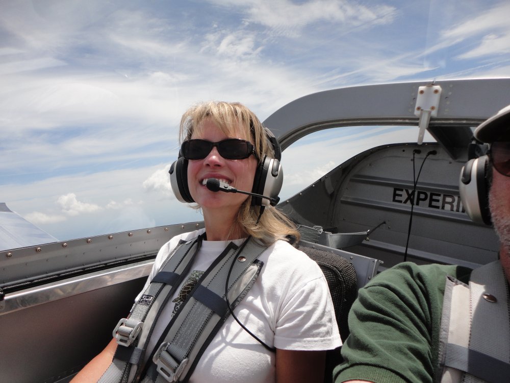
| Michelle enjoying
the flight. |
|
 |
|
| |
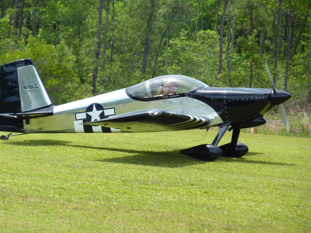
| I'm sure Bruce was
happy to have his wife safely on the grass runway. |
|
 |
|
|
J-Mac and I thanked Bruce &
Michelle for their warm hospitality, loaded up the plane and
headed north. J-Mac had a little too much fun the night
before, so we climbed high to 8000 feet where it was nice and cool and he
felt better. |
|
 |
|
We stopped for gas at Warren Field
Airport ( KOCW), in
Washington, NC at the western end of the Pamlico River. I
picked Warren Field because their gas price was the cheapest around:
$5.75. I can't believe that $5.75 is the low. Warren
Field was a fairly nice airport, fairly good sized as you can see, and the
weather was good, but we landed, gassed up, and left without seeing any
other aerial activity. It's no wonder with gas at
$5.75/gallon. The high cost is taking its toll on
aviation.
Only two of the three runways are for
airplanes. The third is closed, but while we were there was being
used for slalom, drag racing by sports cars. Looked like
fun. |
|
 |
|
|
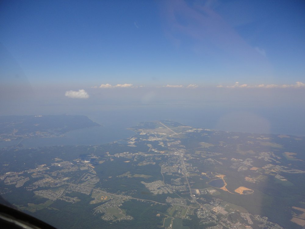
Up at 8000 feet, we cruised through the narrow gap between the
Washington DC Air Defense Zone -- the official name of Special Flight
Rules Airspace does not correctly describe it in my humble opinion -- to
the northwest and the Patuxtent River restricted airspace to the
southeast. The GPS moving map makes it easy.
Patuxent River Naval Air Station can be seen in the middle of the
picture.
|
|
 |
|
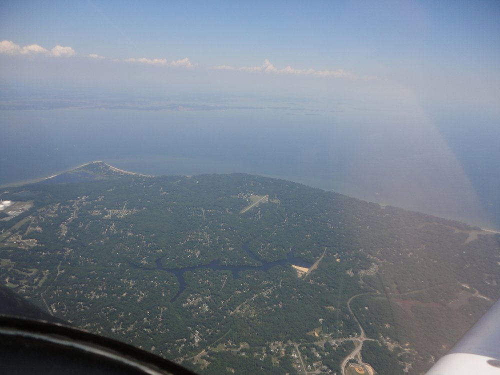
| Chesapeake
Ranch (MD50) way down below, which is a little private airport
community strip on the north side of the Patuxent River. I knew it
was there but have never seen it before from the air. But this high
it was clearly visible. |
|
 |
|
| |
| I dropped J-Mac off
at Easton and then headed home. On the way I passed boat races just
south of the Kent Narrows bridge. |
|
 |
|
|
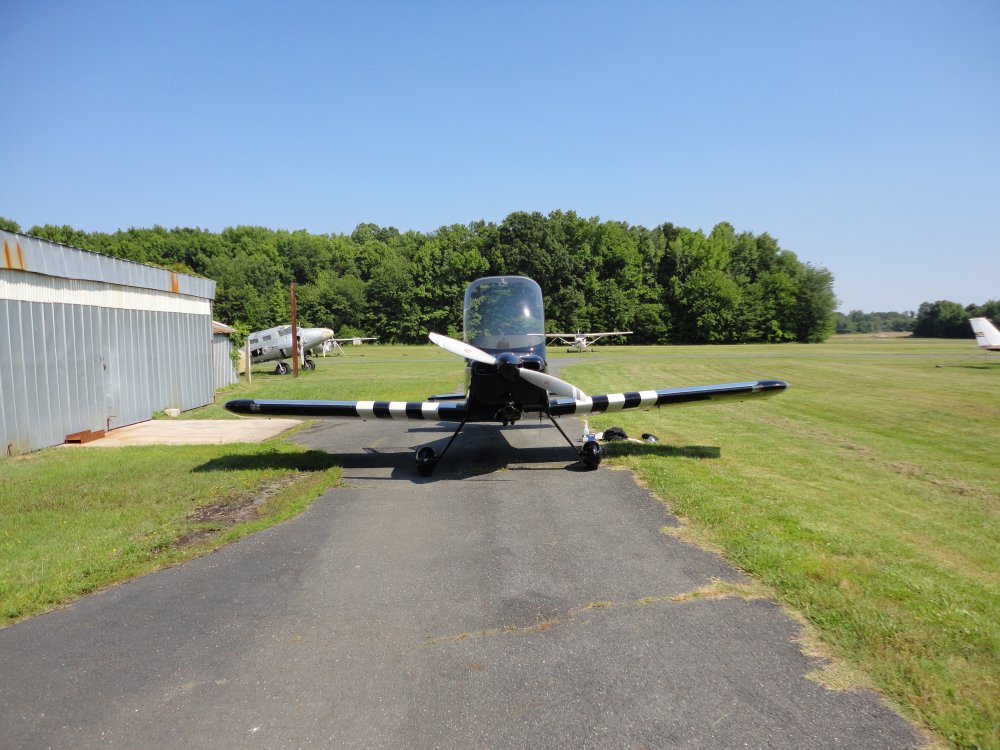
Back at home. Another successful
RV trip in the bag. I was really impressed with
Wilmington. Nice area. And its always
fun to visit old friends. |
|
 |
|
| |
|
|
|
|
|
|
|


