January 18, 2014 - Cedar Key to Marathon, FL
|
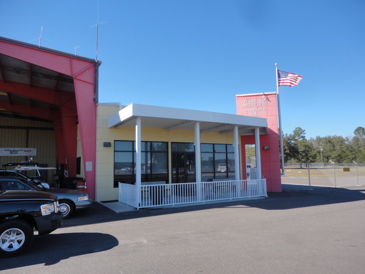
| We took off from Cedar Key and flew 15 minutes east northeast to Williston Municipal Airport (X60) to get Avgas. Williston is a nice airport and highly recommended as a Sun 'N Fun stop. |
| |
 |
|
|
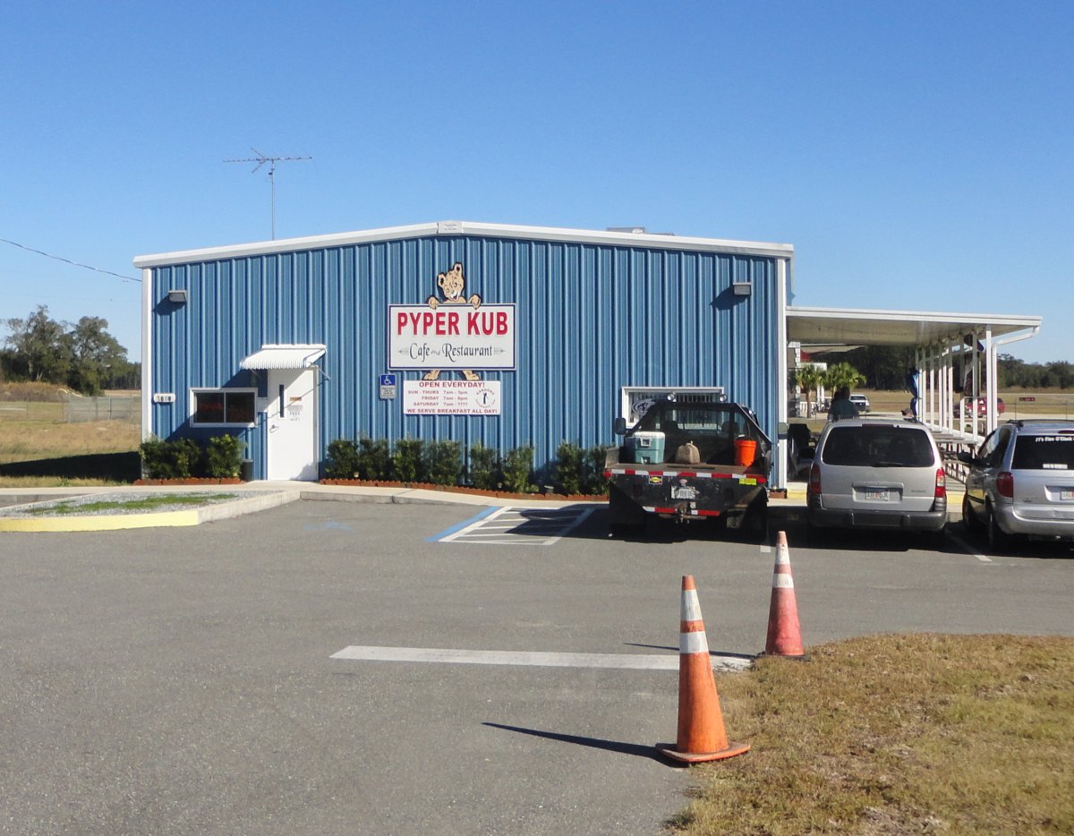
We had a good lunch at the on-field Pyper Kub restaurant.
|
| |
 |
|
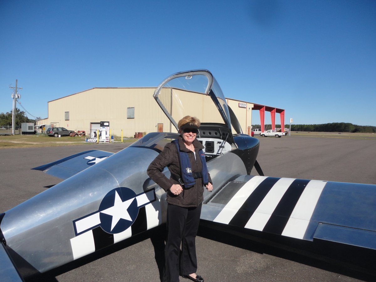
| Then it was life-vests on, and board the aircraft. Next stop: Marathon Airport in the Florida Keys! |
| |
 |
|
|
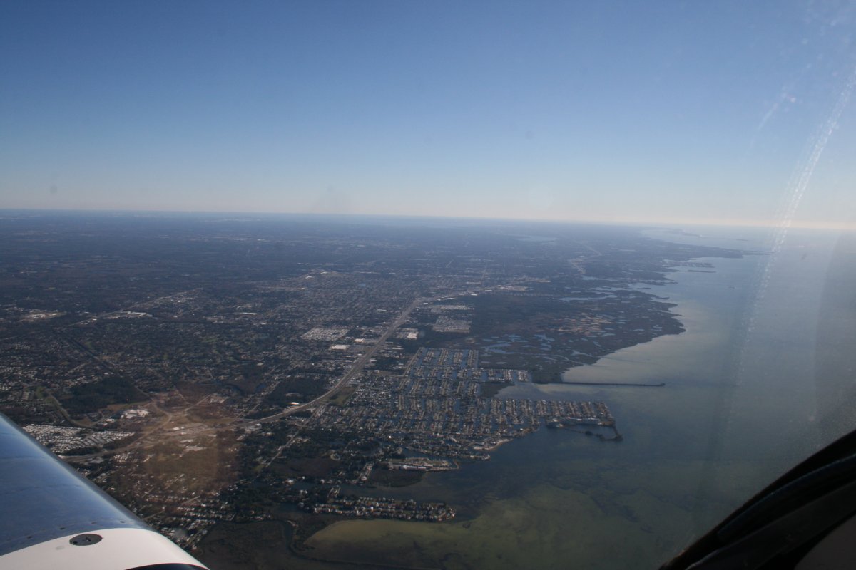
After takeoff, we angled southwest and soon hit the Florida Gulf Coast.
|
| |
 |
|
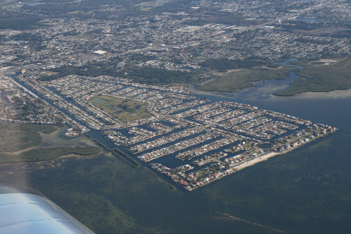
| This is one way to increase the available waterfront property. |
| |
 |
|
|
Approaching Clearwater. Tampa Bay is in the distance to the left.
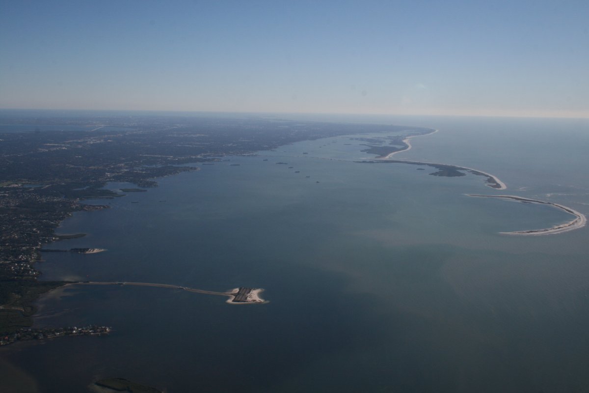
Tampa International Airport has an unusually large Class B airspace that went up all the way to 10,000 feet. I didn't feel like going that high. But as long as I stayed over the water and below 6,000 feet, I was under the Class B. So we cruised along at 4,500 where the air was smooth but we could see very well.
|
| |
 |
|
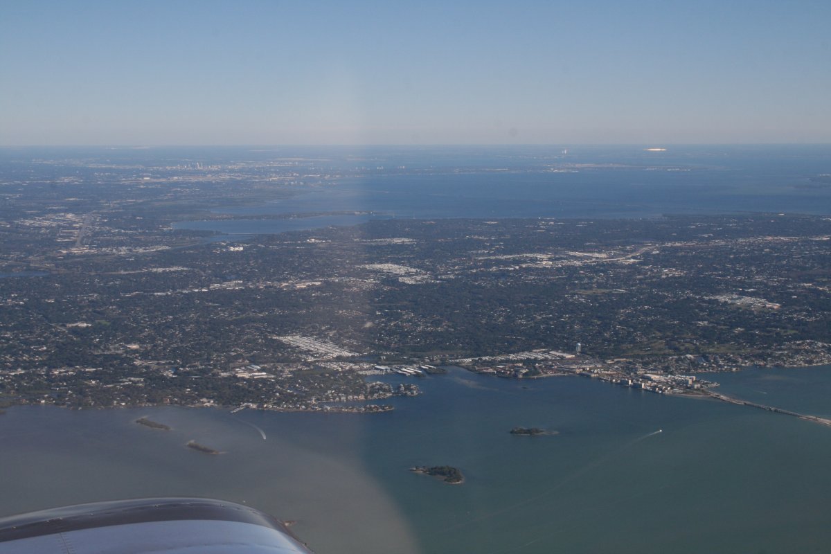
| The Tampa Bay city skyline can be seen at top left. |
| |
 |
|
|
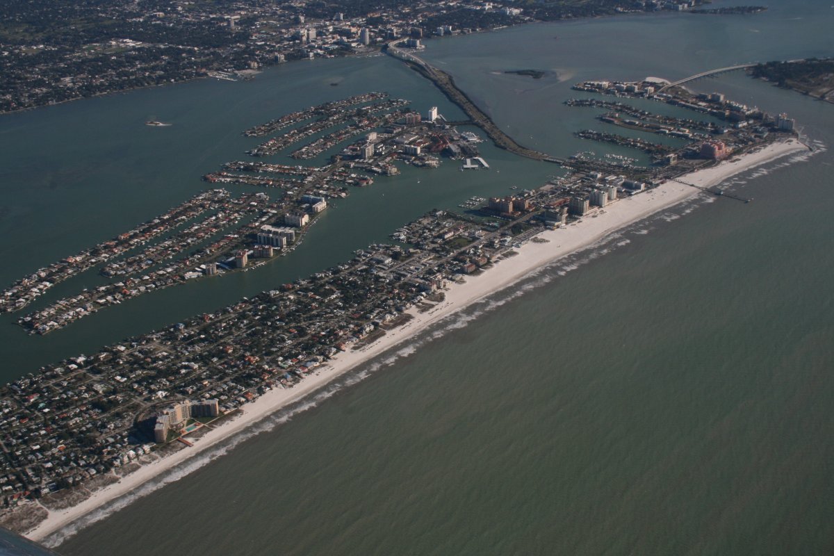
Lynnette and I once stayed at the Laughing Lizard B&B on Indian Rocks Beach below a few years ago.
|
| |
 |
|
| We also once stayed in at a beach hotel just to the right of that big pink one below. |
| |
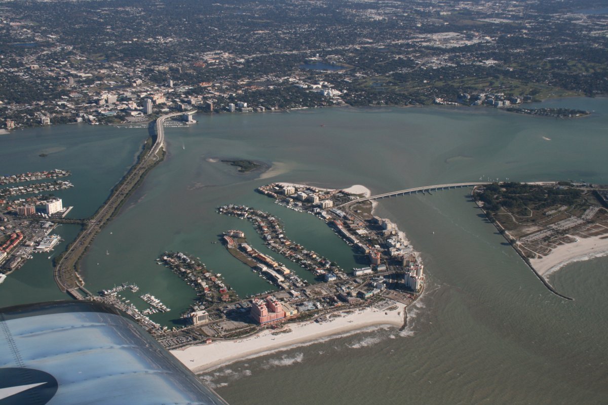 |
|
|
A good look at Old Tampa Bay.
|
| |
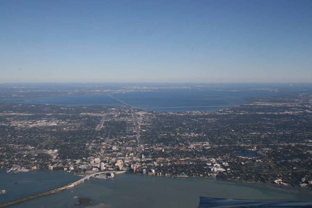 |
|
| Continuing south. |
| |
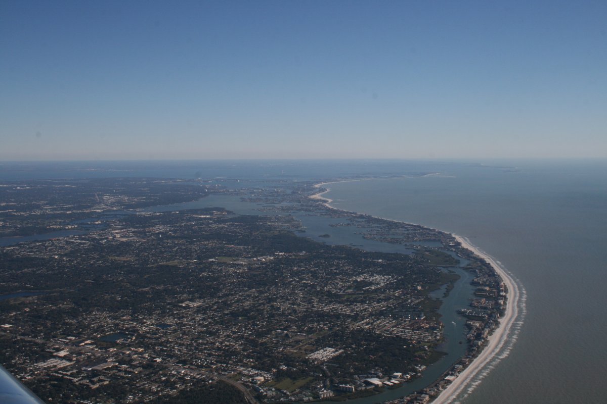 |
|
| St. Petersburg is to the left and entrance to Tampa Bay right ahead. |
| |
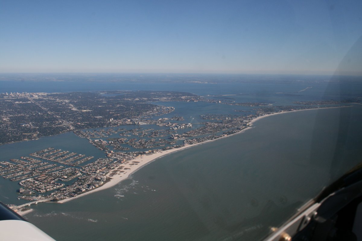 |
|
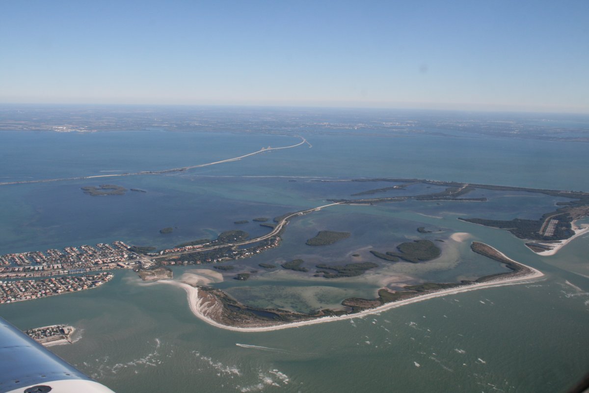
| Entrance to Tampa Bay. |
| |
 |
|
|
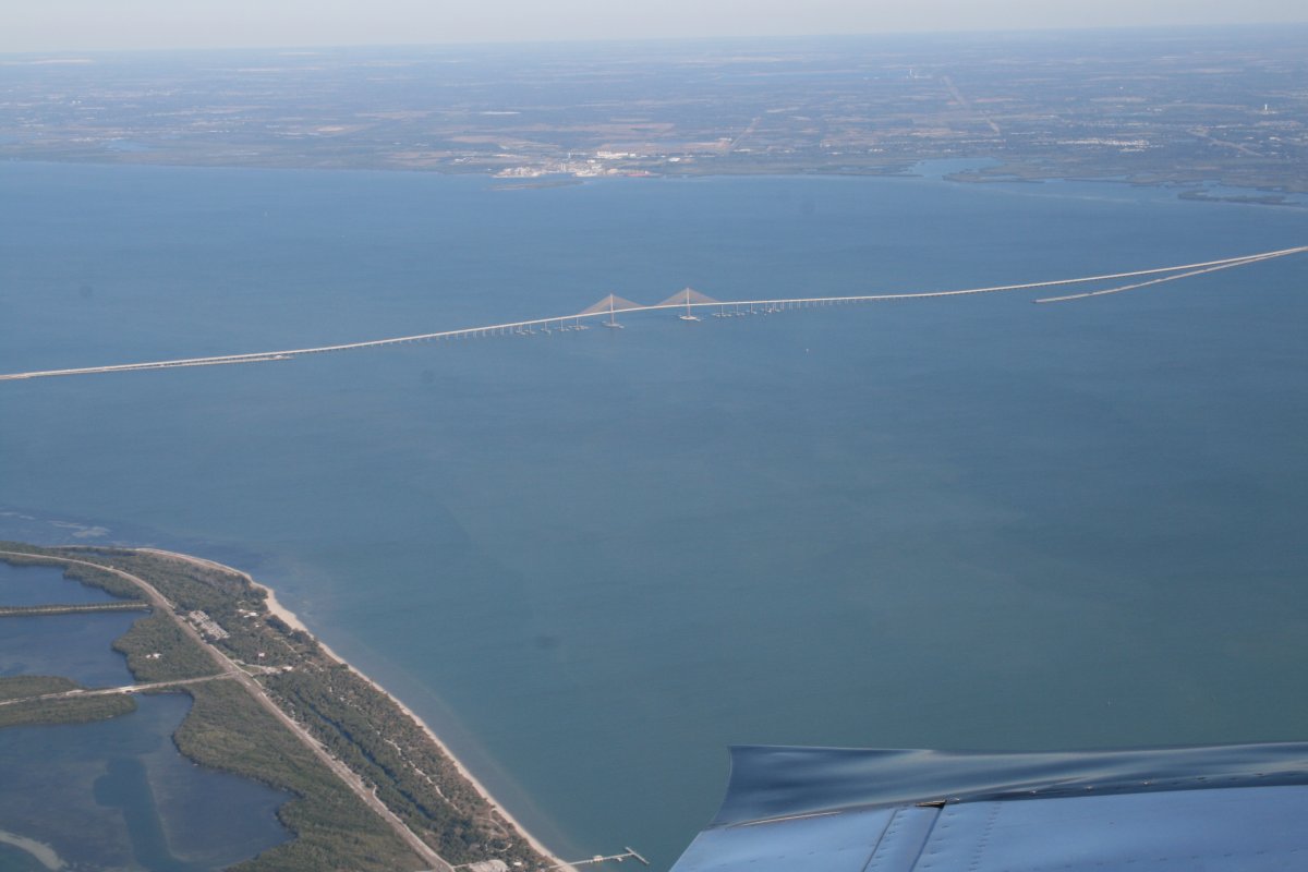
Nice-looking bridge.
|
| |
 |
|
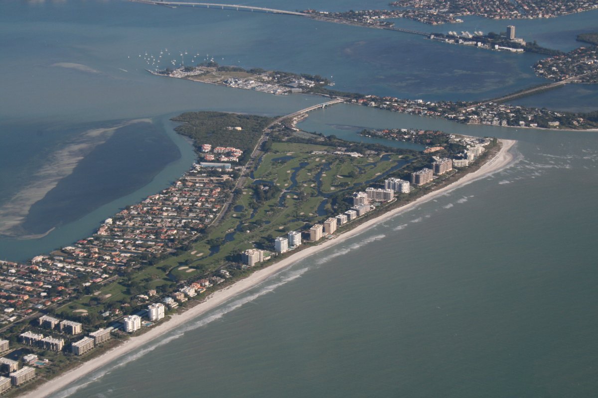
| Check out the large condo buildings along the beach with a golf course in the rear. |
| |
 |
|
|
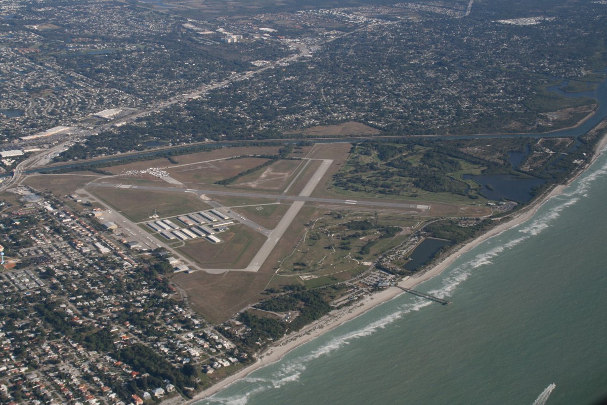
Sarasota International Airport is right on the coast.
|
| |
 |
|
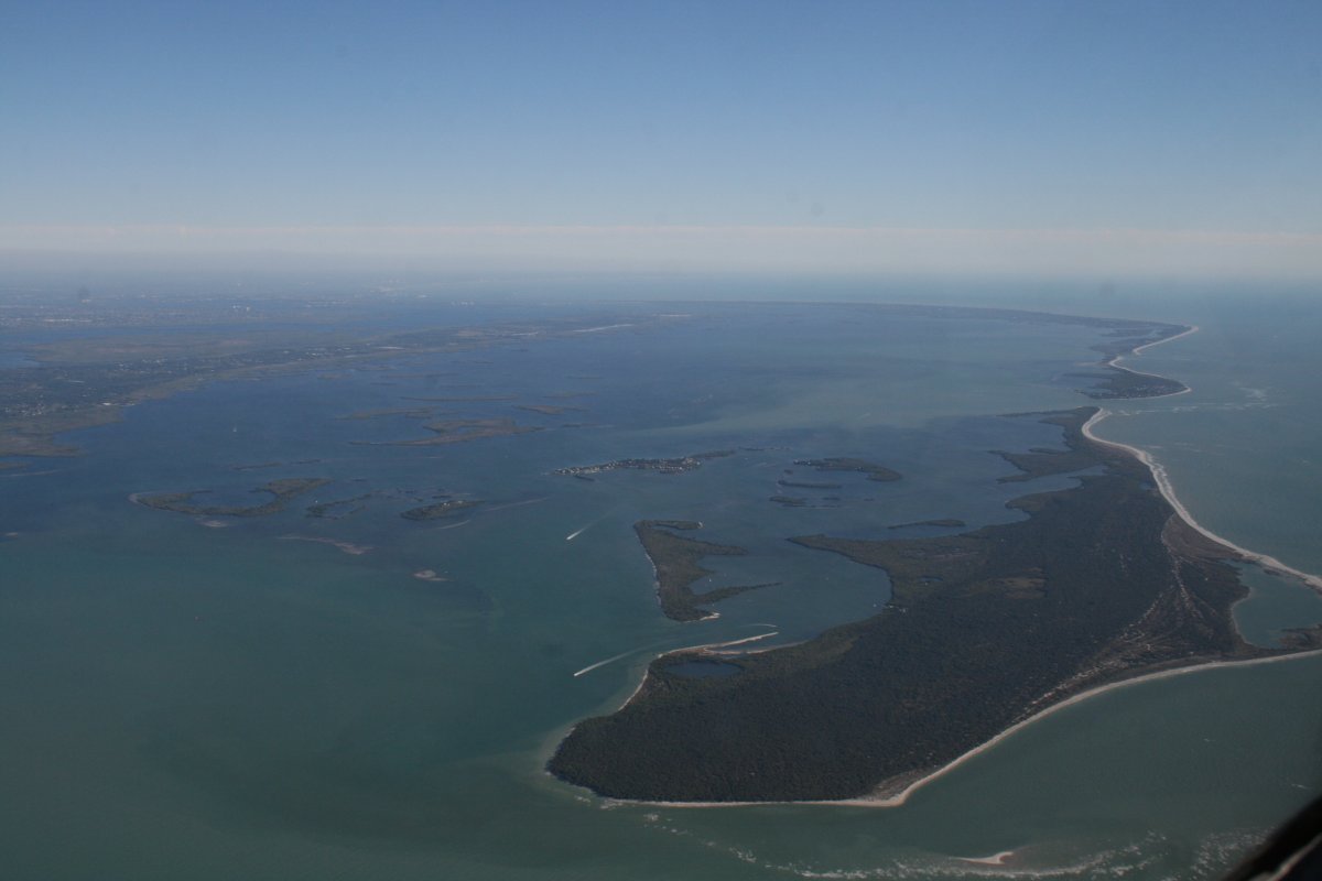
| Approaching Pine Island Sound off of Fort Myers. |
| |
 |
|
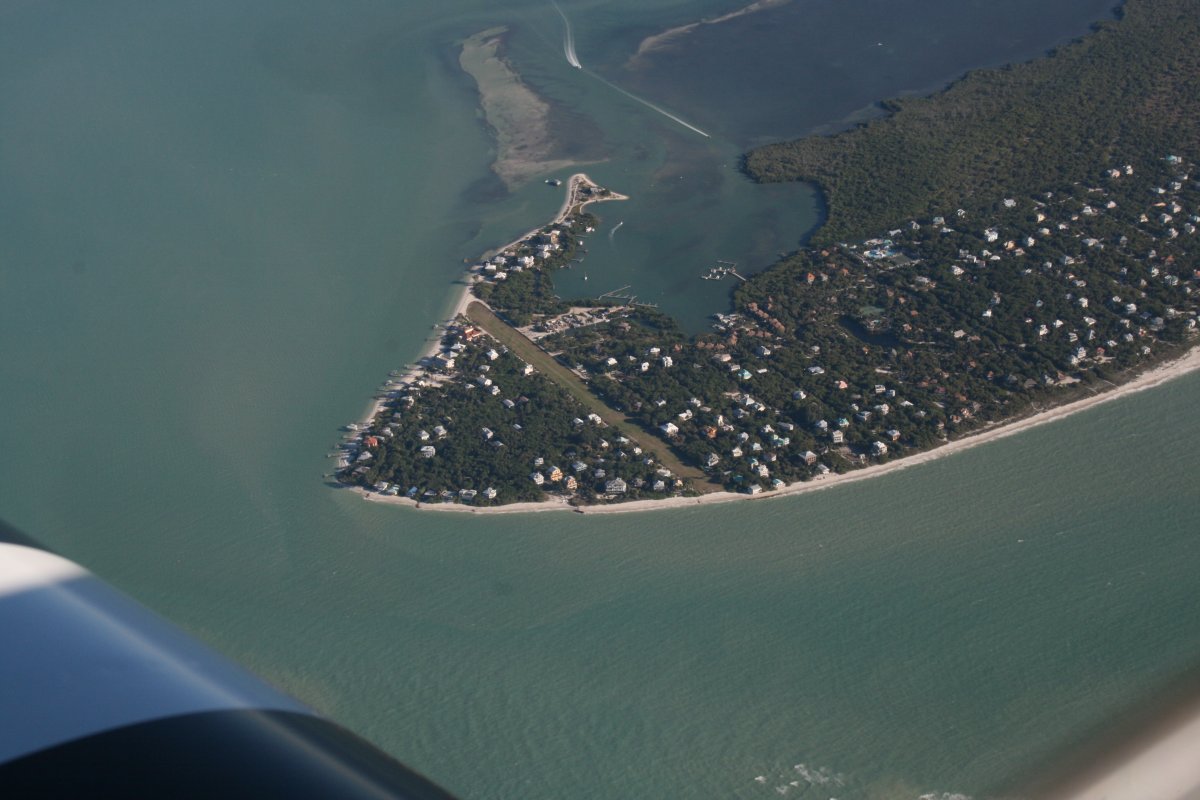
| That's a private grass strip on one of the offshore islands. |
| |
 |
|
| |
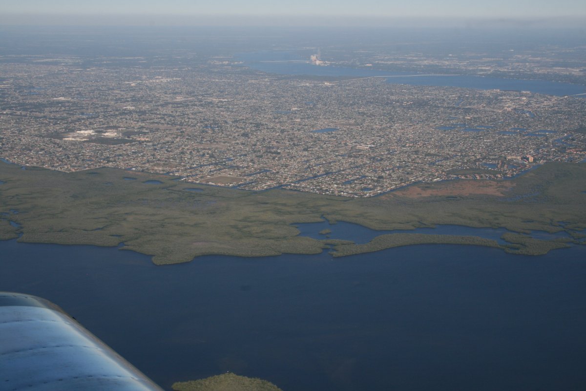
| The suburbs of Cape Coral end abruptly at the Matlacha Pass Preserve and National Wildlife Refuge. |
| |
 |
|
|
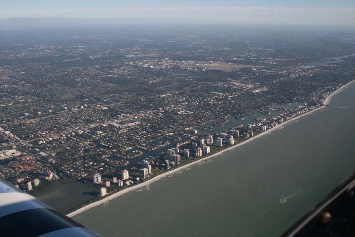
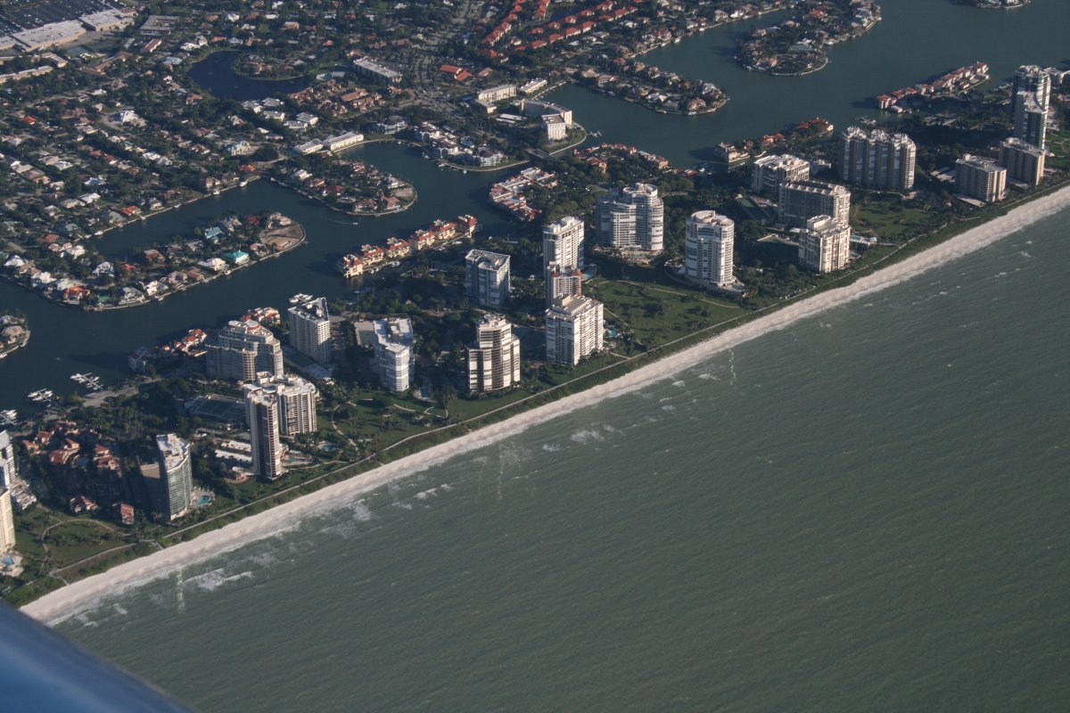
More condo buildings growing out of the beach like mushrooms near Naples.
|
| |
 |
|
| A close-up so you can see all the green between the buildings. Nice to see green instead of asphalt. |
| |
 |
|
|
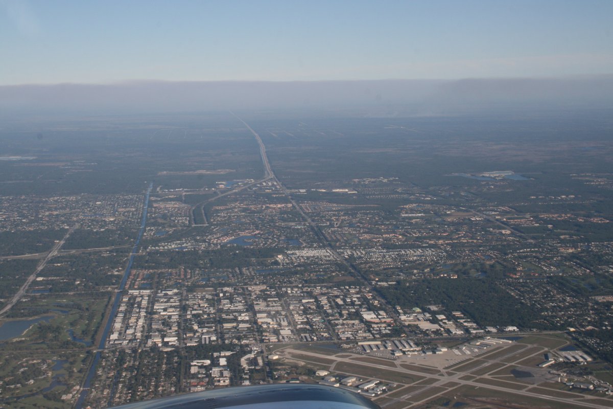
Highway 75 -- Alligator Alley -- heads east from Naples through the Everglades.
|
| |
 |
|
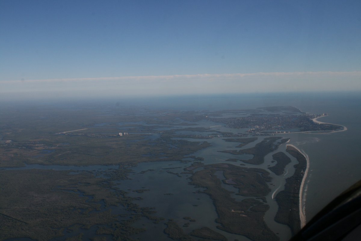
| Civilization grows sparse south of Naples. |
| |
 |
|
|
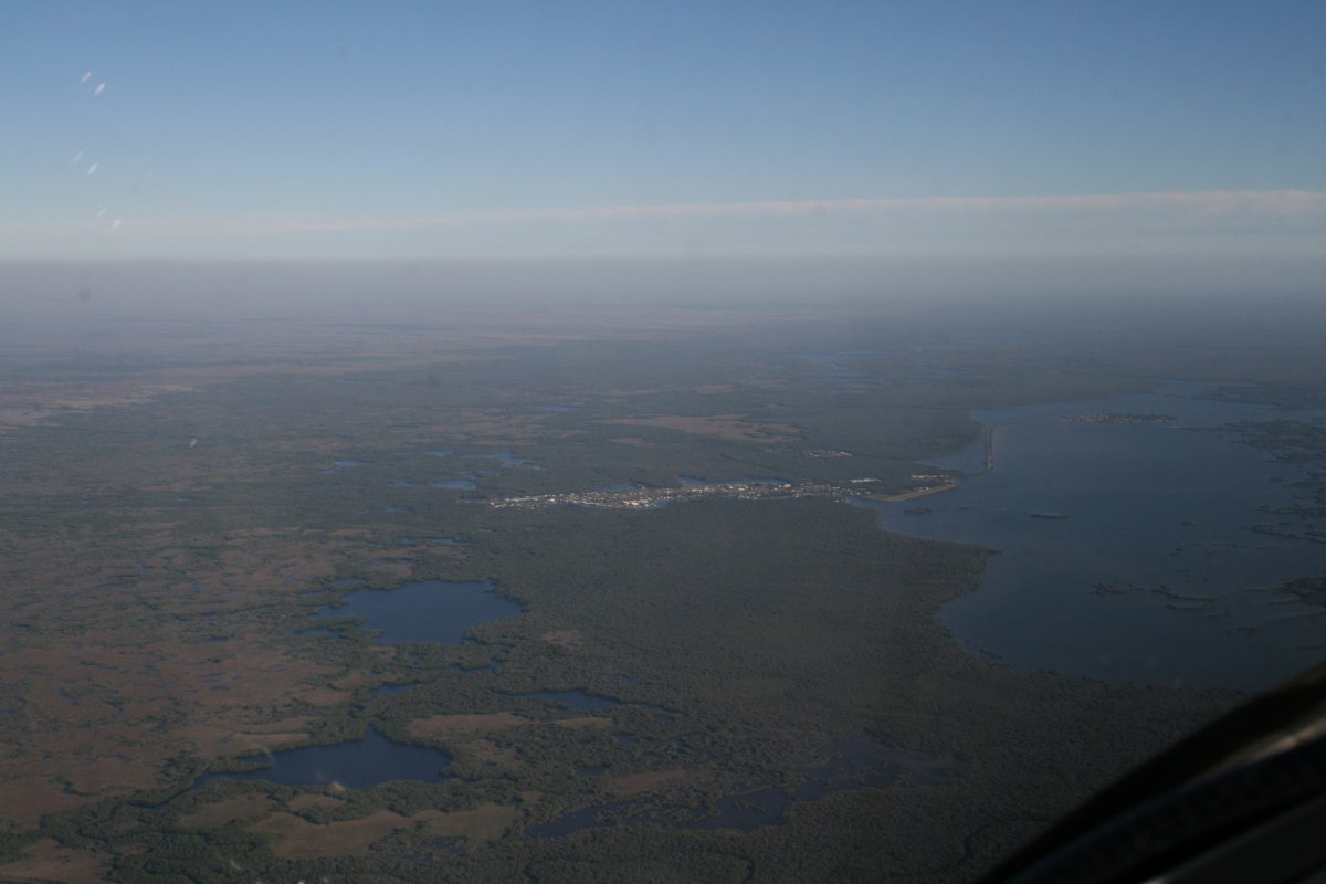
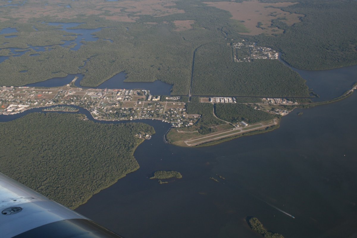
Finally, there is only one outpost left: the little town of Everglades.
|
| |
 |
|
| Everglades has an airport (X01). It's the last one until we reach Marathon in the Keys, 70 nautical miles away. |
| |
 |
|
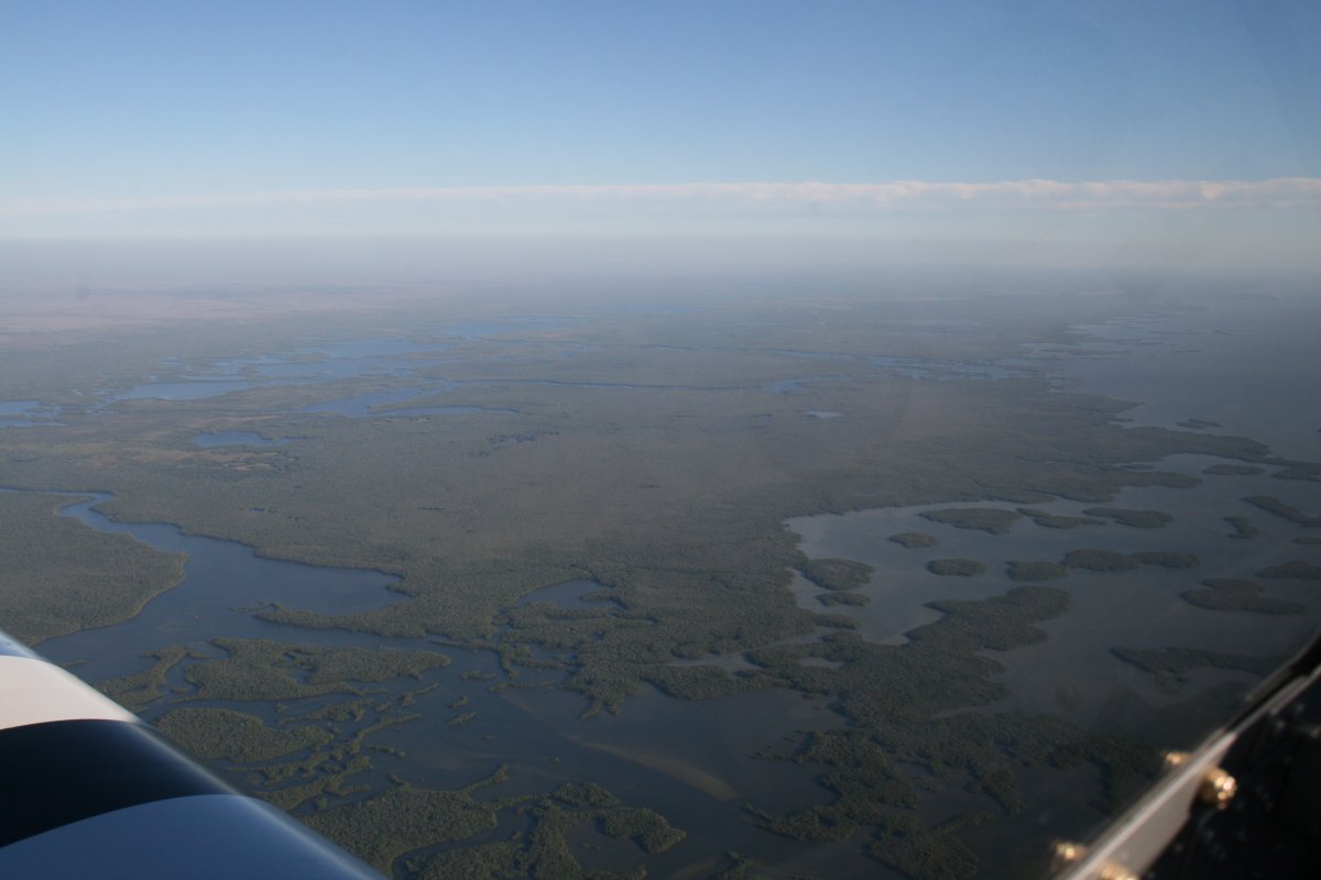
| Not a single man-made object to be seen for as far as the eye can see. And at 7,500 feet, you can see a fair distance. We had a tailwind today, and were making close to 200 mph at altitude. That's a good thing when you are flying over swamp and water. |
| |
 |
|
| |
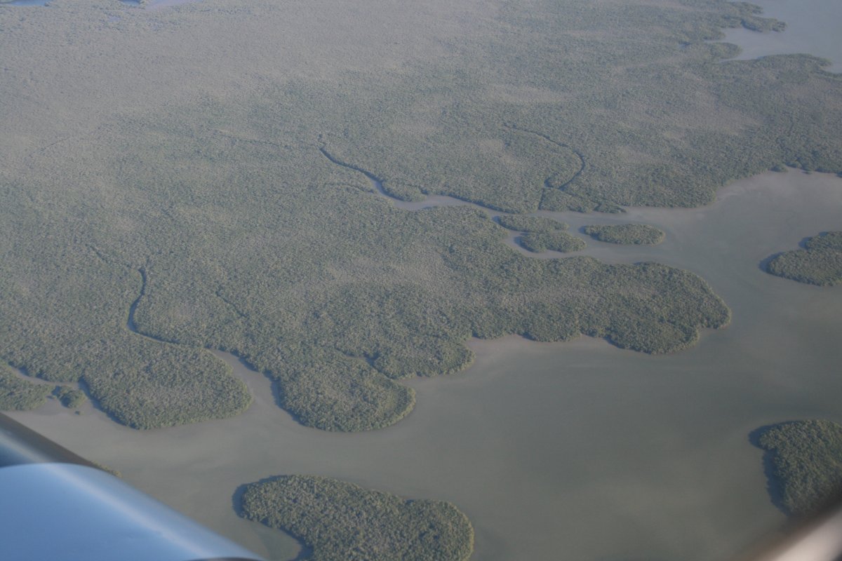
| Everglades. |
| |
 |
|
|
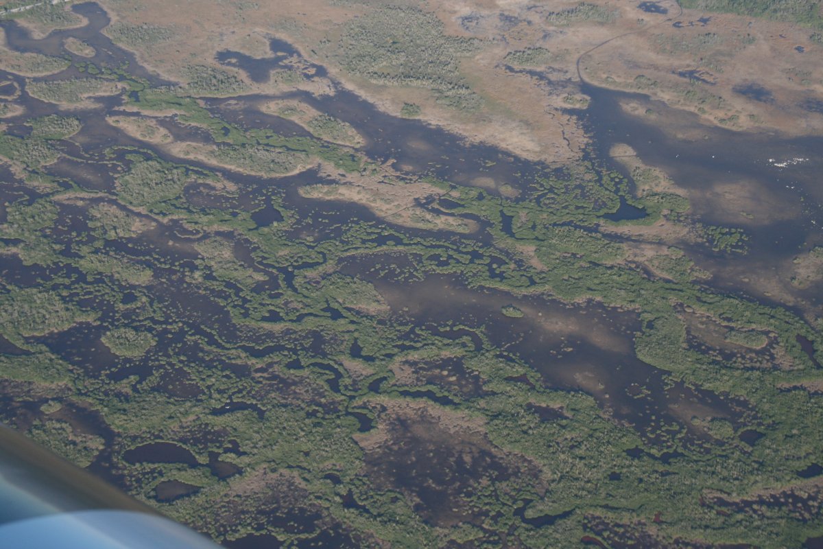
More Everglades. I didn't see any Gators. They must be hybernating this time of year.
|
| |
 |
|
|
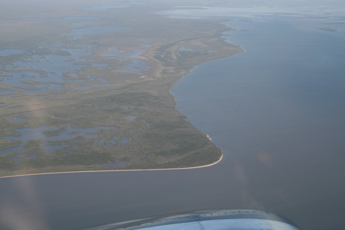
Passing East Cape and heading out into Florida Bay.
|
| |
 |
|
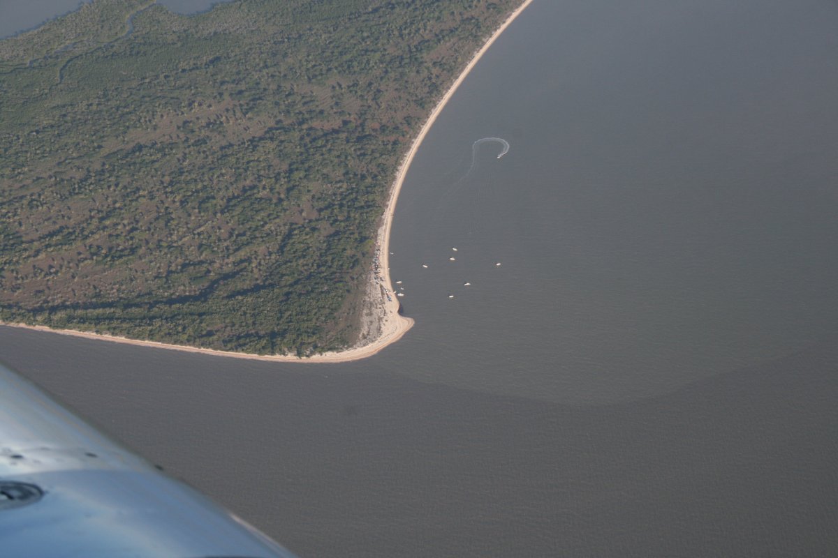
| I was surprised to see boats down at East Cape; the only ones we saw since passing Everglades airport. |
| |
 |
|
|
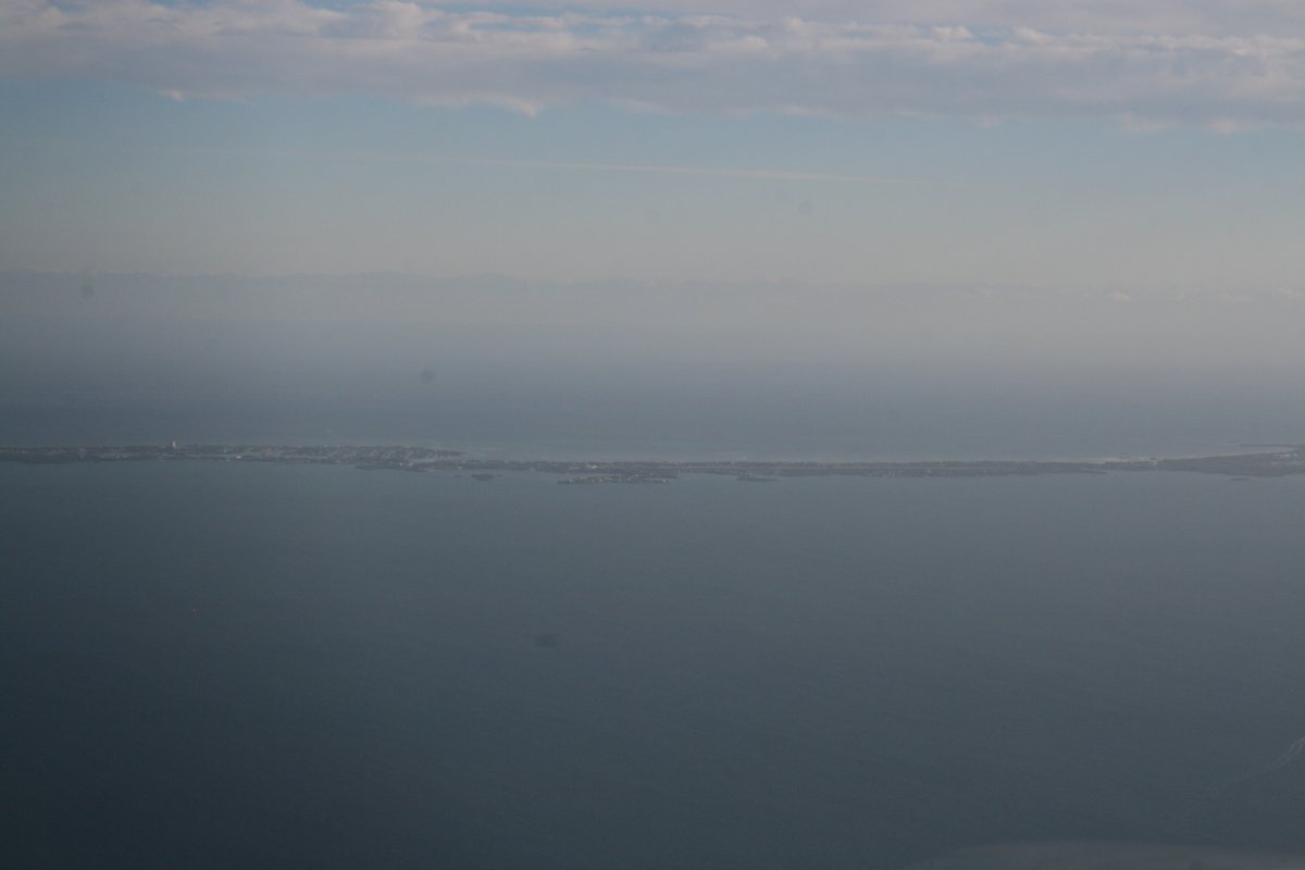
Soon the Florida Keys appeared directly ahead.
|
| |
 |
|
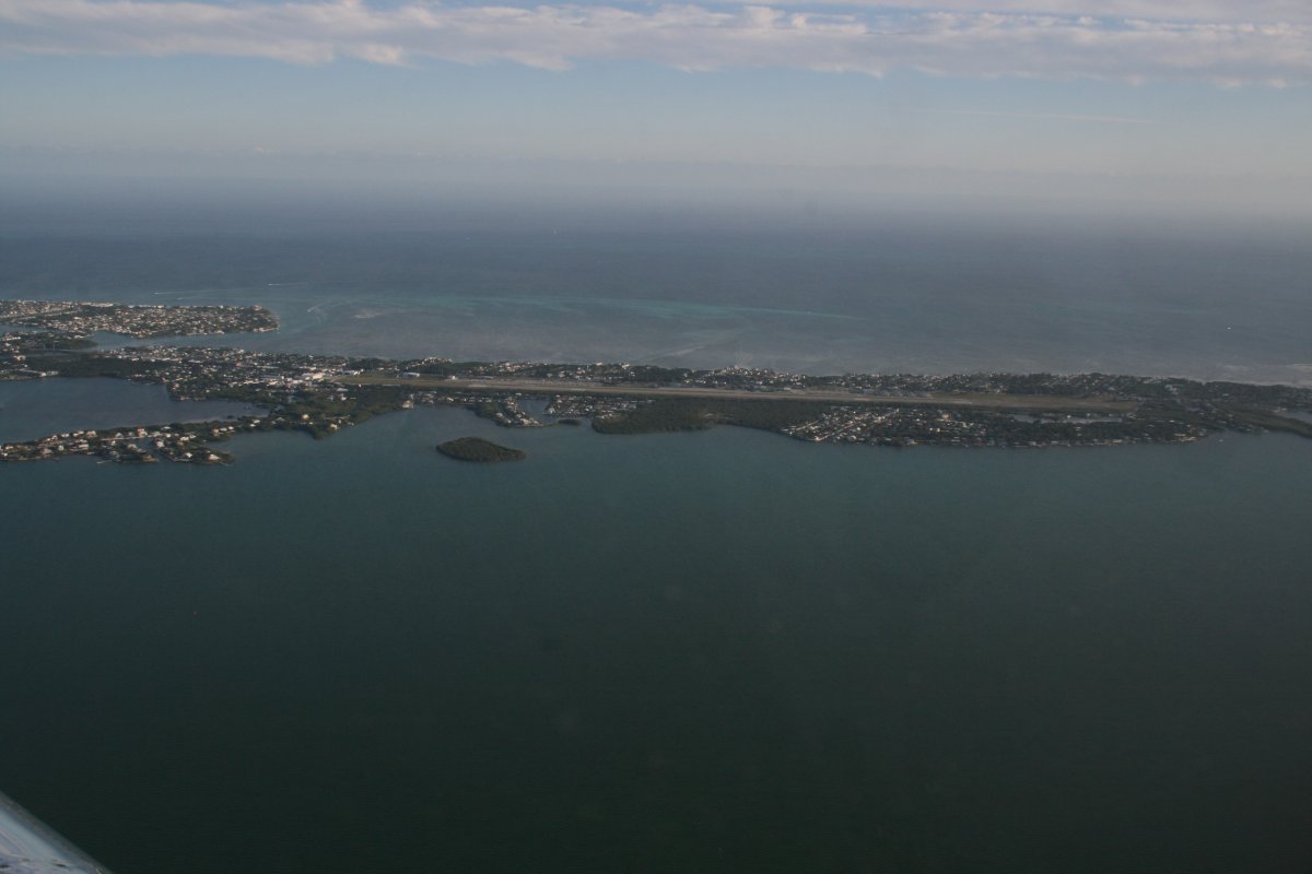
| Marathon Airport dead ahead. |
| |
 |
|
|
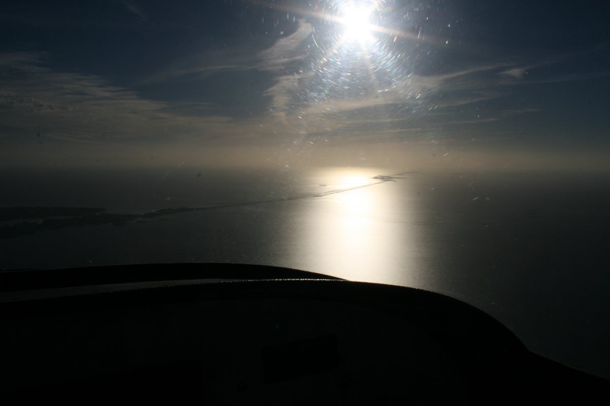
As it was late in the day, the sun was very strong to the west.
|
| |
 |
|
|
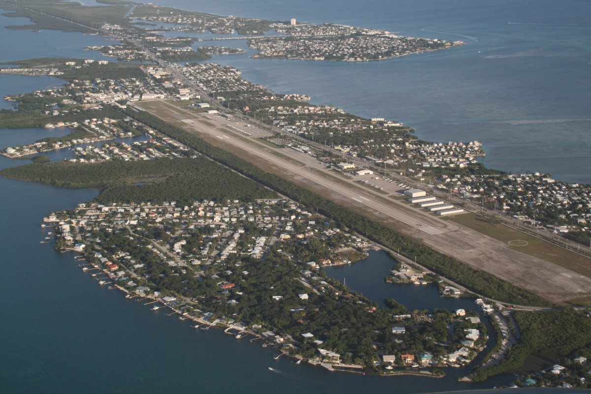
Entering the crosswind leg of the landing pattern, still descending. There was a bit of a crosswind on landing. But for the first time in my flying career, I landed looking directly into the bright sun, which overwhelmed my sunglasses. It was like landing at night, when you can't see to the front. But I made a fairly good landing.
The FBO at Marathon was very friendly, and we soon had the RV unloaded, tied down and covered. Bruce and Ellen met us and took us directly to Sparkey's waterfront bar/restaurant for some cold Key West Ale. Let the vacation begin!
|
| |
 |
|
| |
| |
|
|
|
|
|
|


