January 17, 2014 - To Cedar Keys, FL
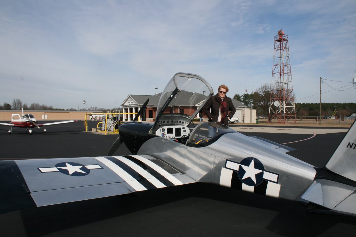
It was a frosty 27 degrees when we arrived at Essex Skypark Friday morning around 8AM. It took awhile to pre-heat the engine, load the plane, run the engine to warm it up further, and gas the plane up. Whitey, one of the airport regulars, asked me where we were going. "Florida Keys. Isn't everybody?" We were finally airborne around 9:30.
We took the usual route to avoid the SFRA (DC no fly zone), when heading south: across the Chesapeake Bay, down the Eastern Shore to the Choptank River entrance, then angle across the Bay again southwest to St. Marys Airport (2W6) near Patuxent River Naval Air Station. That got us clear of all the SFRA/Class B/Restricted airspace and it was smooth sailing to Florida.
Unfortunately, we were up a seriously strong headwind. My no-wind cruising speed at altitude is usually around 170-180 mph. At first our speed was 150 or so which I thought was bad. But then it gradually declined to 130. We were crawling! That's just wrong for an RV. If I'd been in the old Citabria, of course, I'd have been overjoyed to be making 130.
Compounding the disgraceful slow speed was the nature of the flight itself. Central Virginia, North Carolina and South Carolina are nothing but trees. Boring!
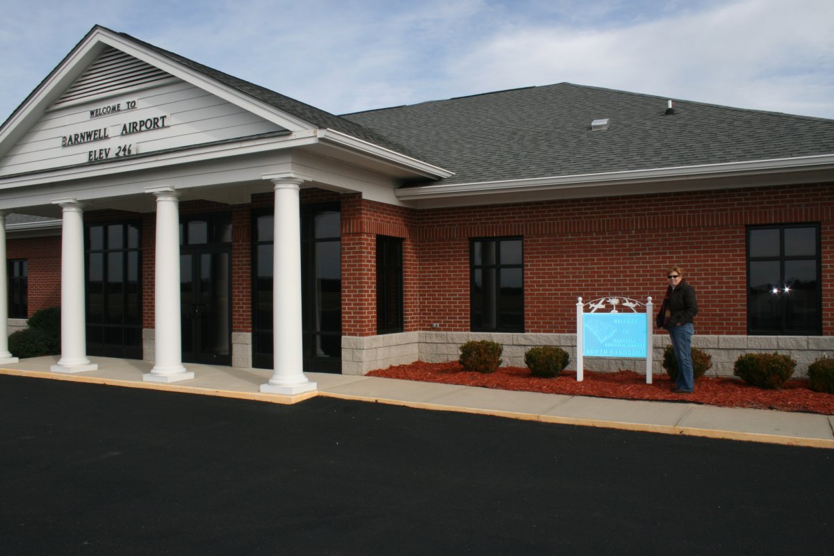
After almost four hours of flight, we landed at Barnwell Regional Airport in South Carolina, about 80 miles WNW of Charleston. I had picked this airport in flight planning for its relatively low gas prices and because they had a courtesy car. Plus they had perpendicular runways so we landed right into the wind. (Why do a crosswind landing if you don't have to?) Barnwell was a nice airport; perfect for a cross-country stop. We fueled up and relaxed in the comfortable FBO lounge before resuming the journey.
