January 22, 2014 - Marathon, FL to Easton, MD
|
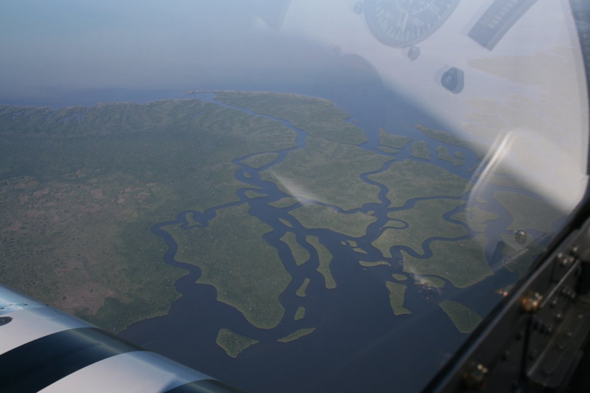
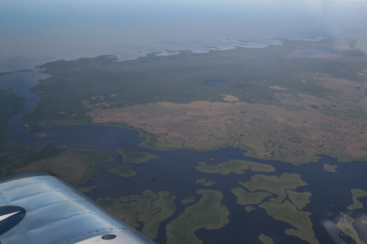
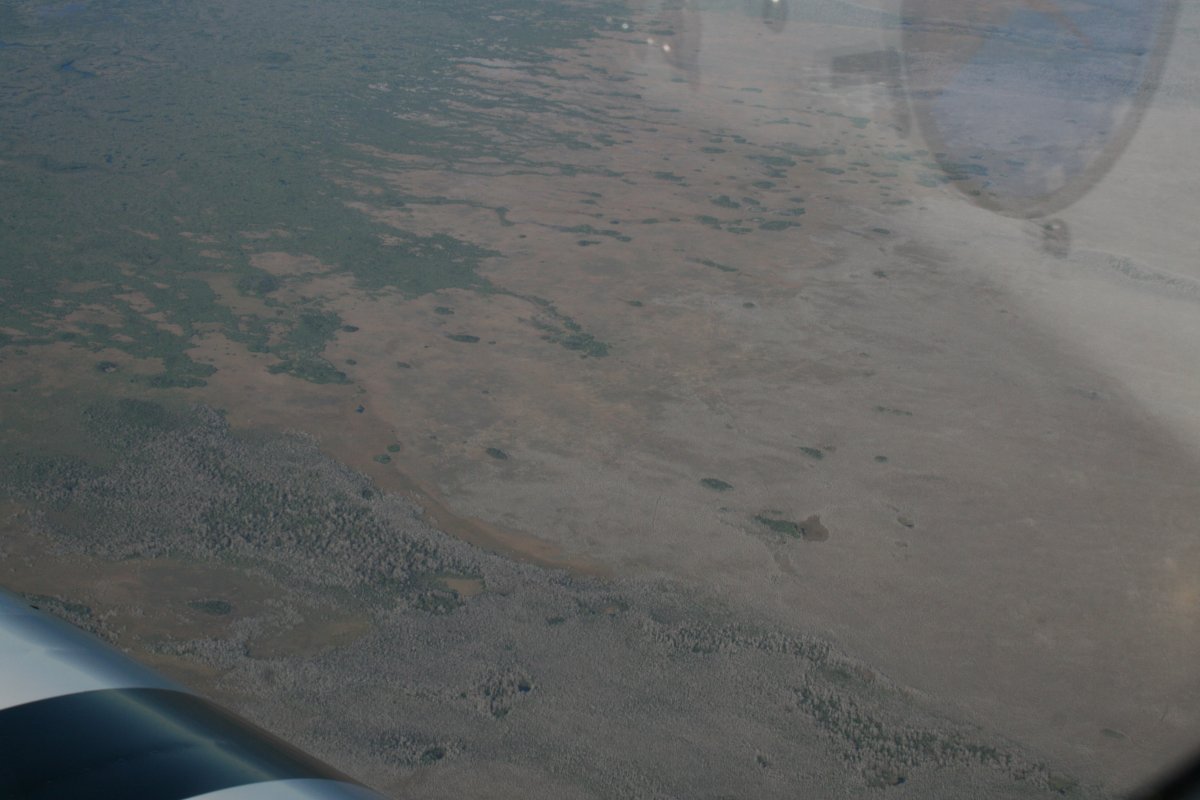
| Three days is not enough for the Florida Keys. I was shocked by how fast it went. All too soon, it was Wednesday morning and Bruce and Ellen were driving us to Marathon Airport. We checked out at the very nice and friendly FBO, loaded the plane, and soon were climbing over the Gulf of Mexico heading north. By the time we hit cruising altitude, we were over the Everglades. |
| |
 |
|
|
More Everglades.
|
| |
 |
|
| Still more Everglades. |
| |
 |
|
|
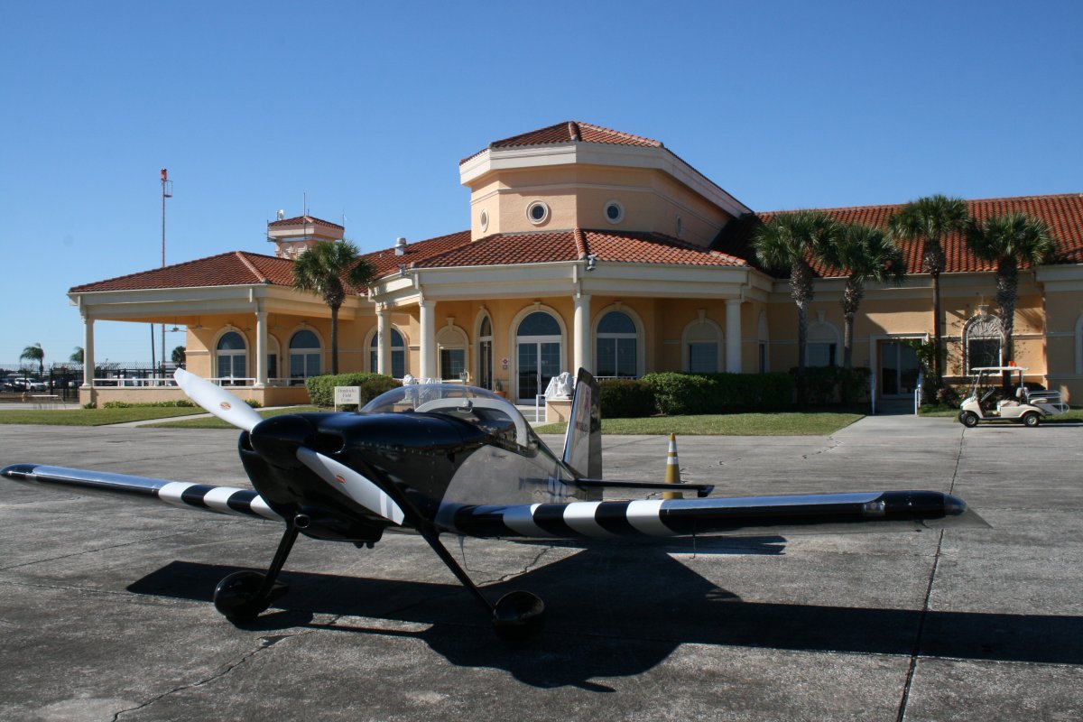
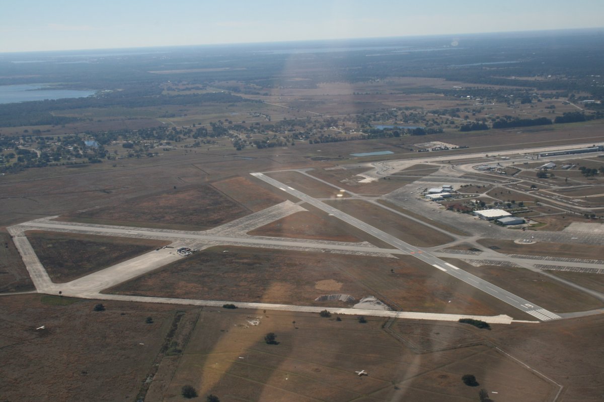
Our first stop was at Sebring Regional Airport (KSEF), about 165 nm north of Marathon, and just over the north edge of the Everglades. They had just concluded the Light Sport Aircraft exposition here last week. The reason I wanted to stop here was because of their on-field restaurant, where Lynnette and I enjoyed a nice breakfast. As you can see, Sebring has an extremely nice facility.
|
| |
 |
|
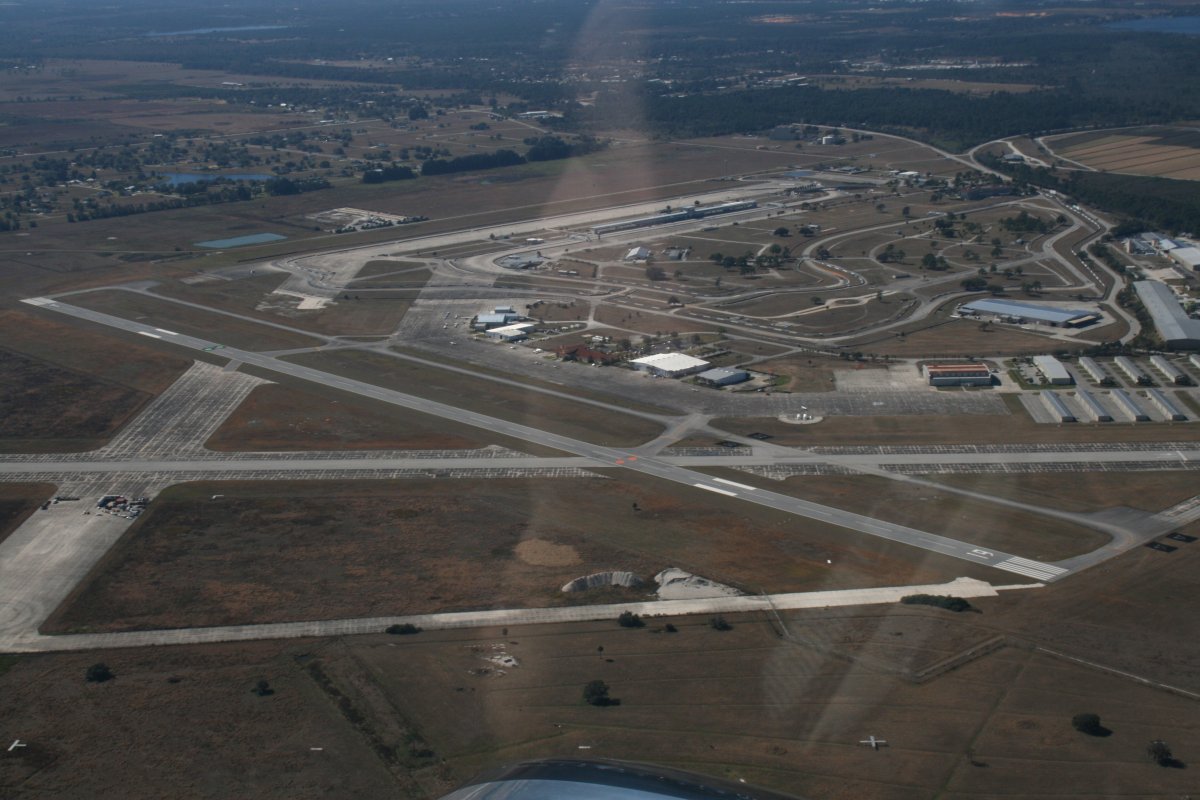
| From the air after takeoff. Sebring does not have a Tower, but it's a good-size airport, with crossing runways. It started out as a U.S. Army Air Corp B-17 training base in WWII., |
| |
 |
|
| Next to the airport is Sebring International Raceway , one of the oldest in the U.S. Seen at top right. |
| |
 |
|
|
Departing Sebring, we flew to the west of Orlando. Disney World was clearly visible to the east. Then we angled towards Jacksonville which I wanted to fly over.
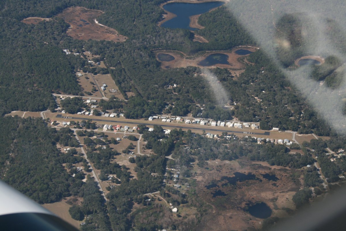
An airport community down below.
|
| |
 |
|
|
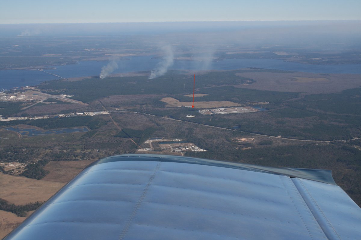
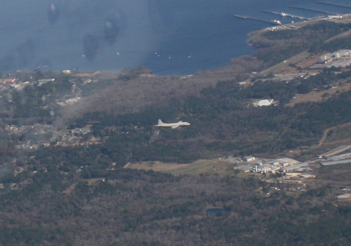
Approaching Jacksonville, with the St. John's river to our right, we saw a P-3 heading our way below us from the north. I was excited to see it, having flown in them during my Navy career. Plus my Dad flew them.
|
| |
 |
|
| Yep, definately a P-3. I wonder what its pilots thought about us. A little bug-smasher, above us? I figure air traffic control alerted them about us. |
| |
 |
|
|
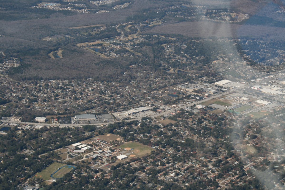
We lived for two years down below in Orange Park. The main drag -- Blanding Blvd -- is plainly visible. We lived in a community just below that golf course at the top.
|
| |
 |
|
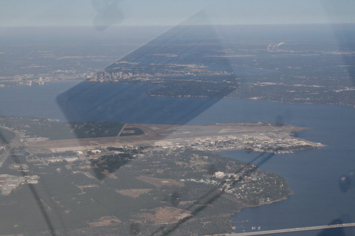
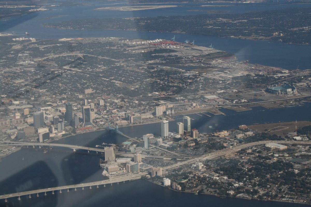
| Jacksonville Naval Air Station, where I worked, is in the bottom half of the picture, with the Jacksonville skyline above it. The St. John's River separates the two. |
| |
 |
|
|
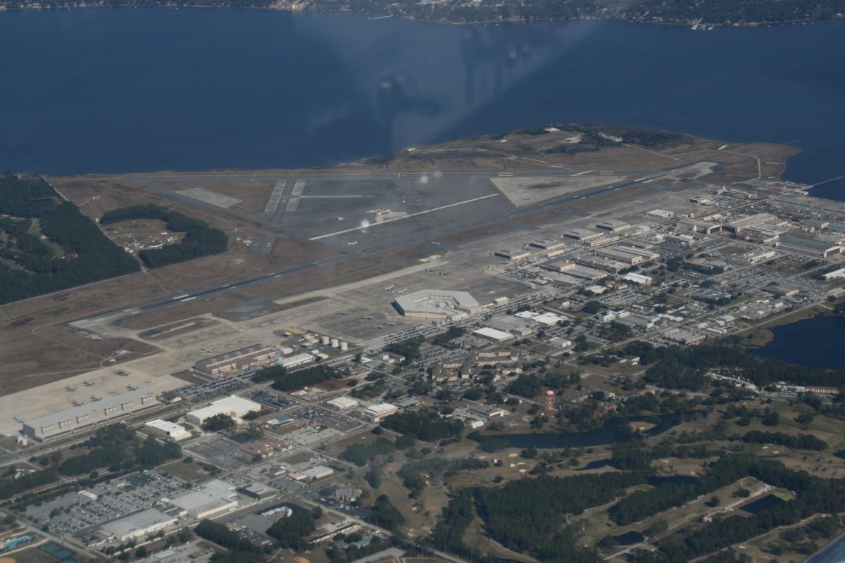
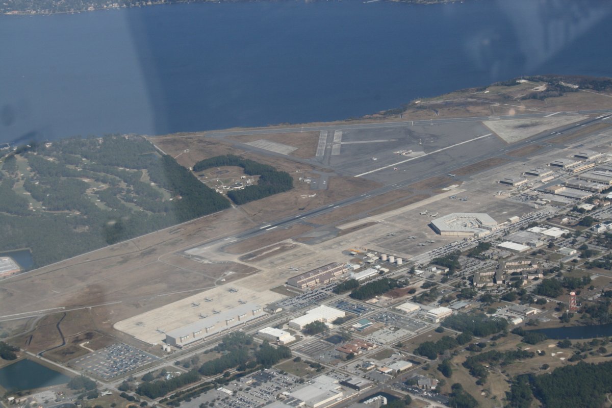
A close-up of Jacksonville NAS. Today was a flying day for the P-3's. In this picture you can see one taking off, plus there were two others in the pattern.
|
| |
 |
|
|
That hexagon-shaped hangar -- where I used to work -- brought back memories. I believe it was named the "Jay Beasley Hangar" after the man known as "Mr. P-3". He had three short of 31,500 landings in the P-3! My Dad flew with him once.
On the ramp are two of the new P-8 Poseidons -- the P-3's replacement -- in this picture. Here is a good article about the current state of the P-3 Community if you are interested: Link
|
| |
 |
|
|
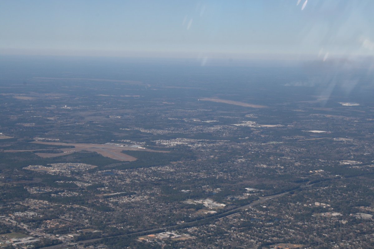
Looking west is Herlong Airport (KHEG). I've never landed there but checked it out by car in 1983. Those were the glory days of Ultralights and I was there to check them out. At the time I wanted one bad! Further away to the right is Whitehouse Naval Outlying Field. Fledgling F-18 pilots used to practice there. I went out there a couple of times to fly my radio control planes.
|
| |
 |
|
| Over Jacksonville. The football stadium is to the right. They had a SuperBowl here once. |
| |
 |
|
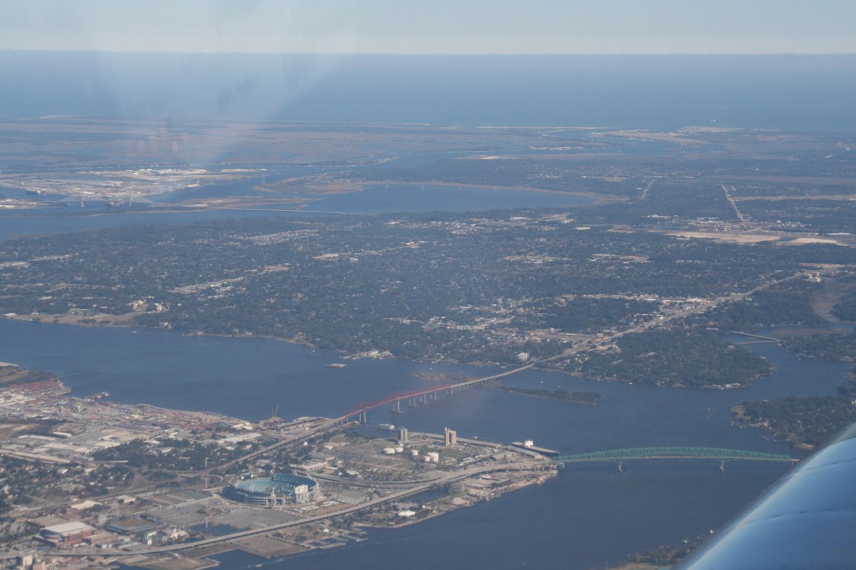
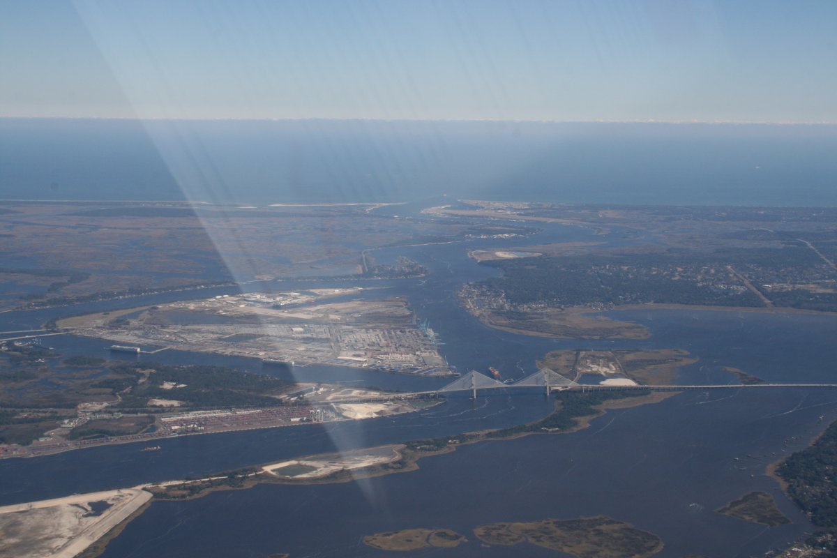
| Looking east, the St. Johns river meandors out to the Atlantic Ocean. Mayport Naval Station is at the entrance. |
| |
 |
|
| |
| A closer look. |
| |
 |
|
|
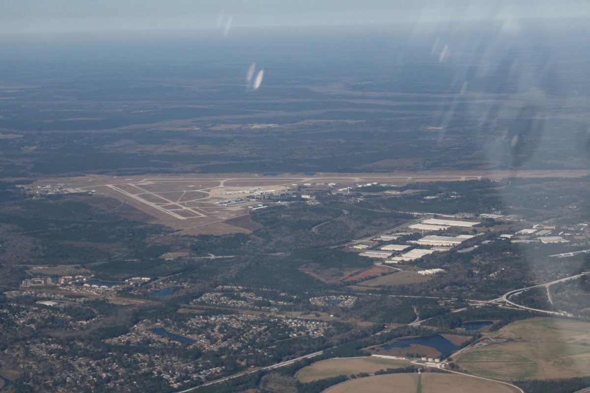
Passing by Jacksonville International Airport.
|
| |
 |
|
|
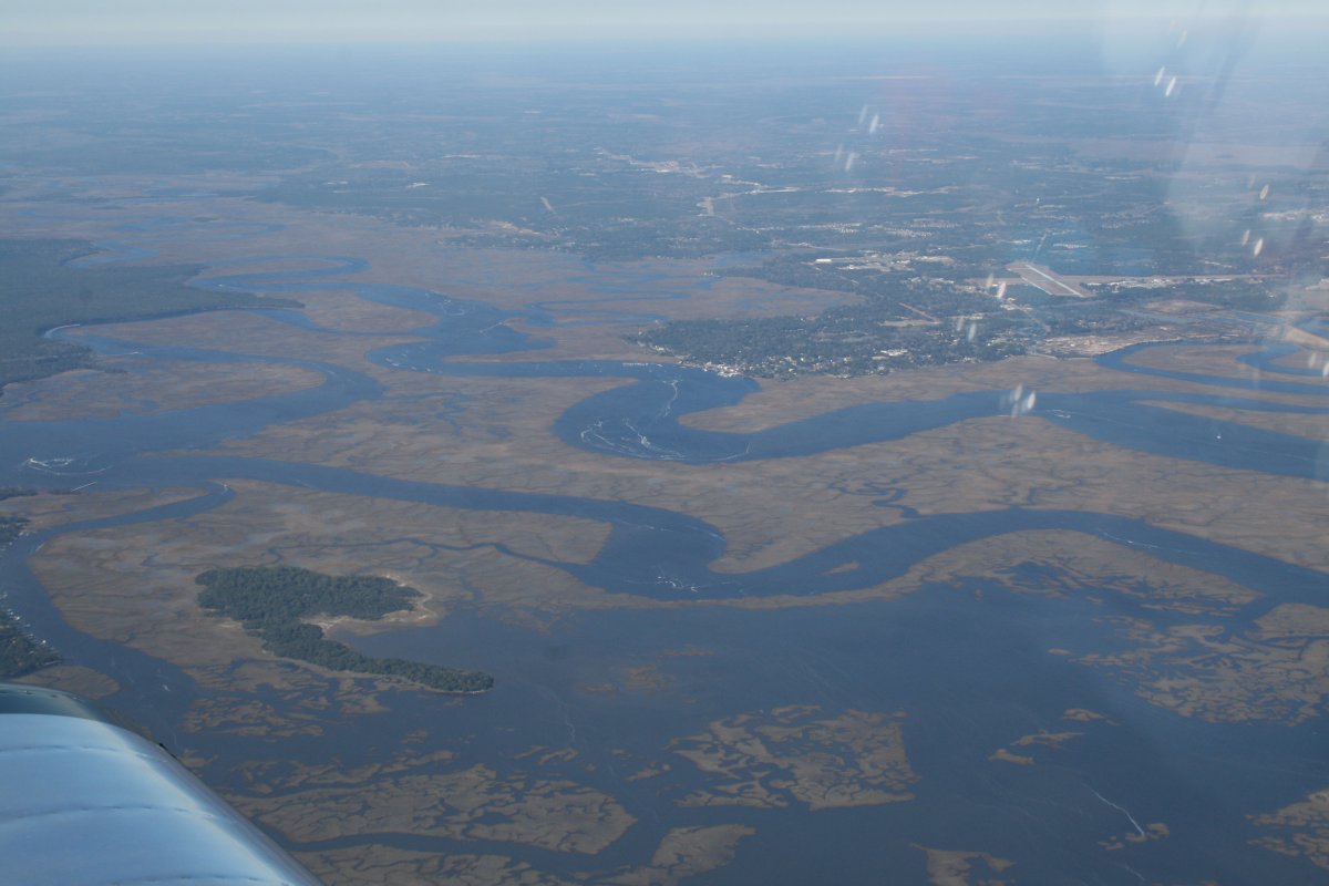
Looking west from Fernandina Beach, Georgia.
|
| |
 |
|
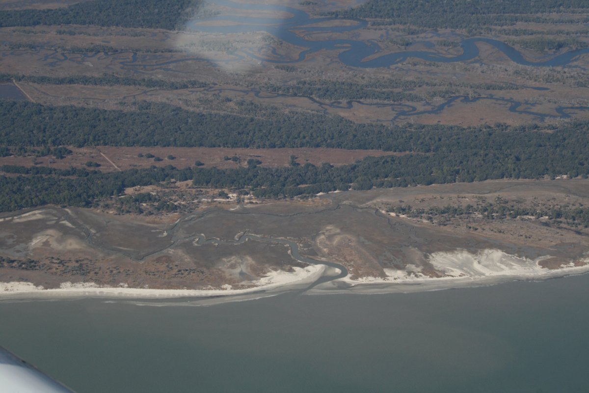
| Typical Atlantic Coast shoreline down south. |
| |
 |
|
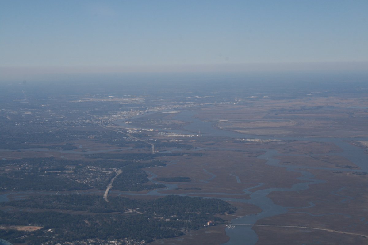
| Savannah, Georgia in the distance. |
| |
 |
|
| |
|
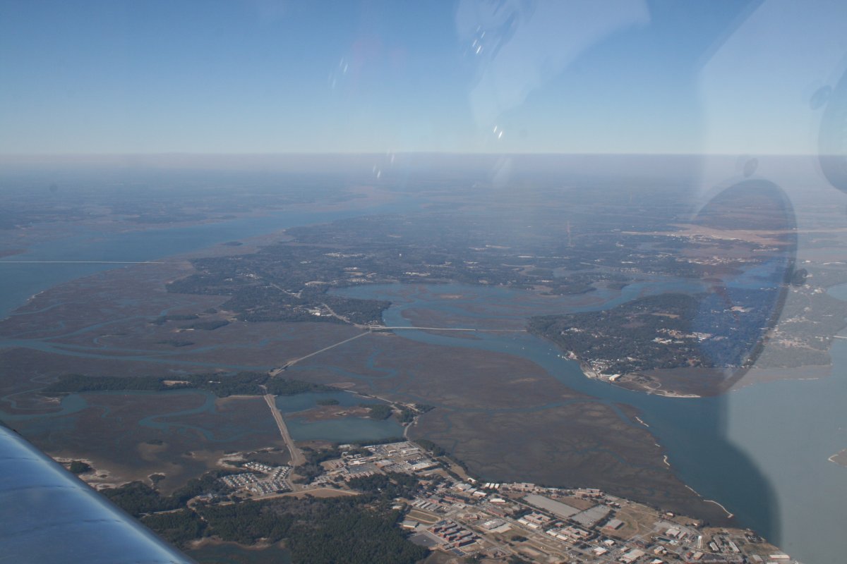
Just south of Beaufort Marine Corps Air Station. What a difference from the last time I was here. Then I was down low under 1,000 feet celings trying to get through some bad weather back to Maryland.
|
| |
 |
|
|
We stopped at Lumberton Regional Airport (KLBT) just after crossing into North Carolina. It was cold and windy. The plan had been to stay here overnight. But we had made good time thanks to a tailwind. It was only 3:15. The flight home was only two hours with the tailwind. We could make it home before the sunset with a quick turnaround. Someone had already taken the courtesy car and I would have the issue of pre-heating the engine to deal with in the morning. We decided to go for it. I quickly fueld the plane and then we were off.
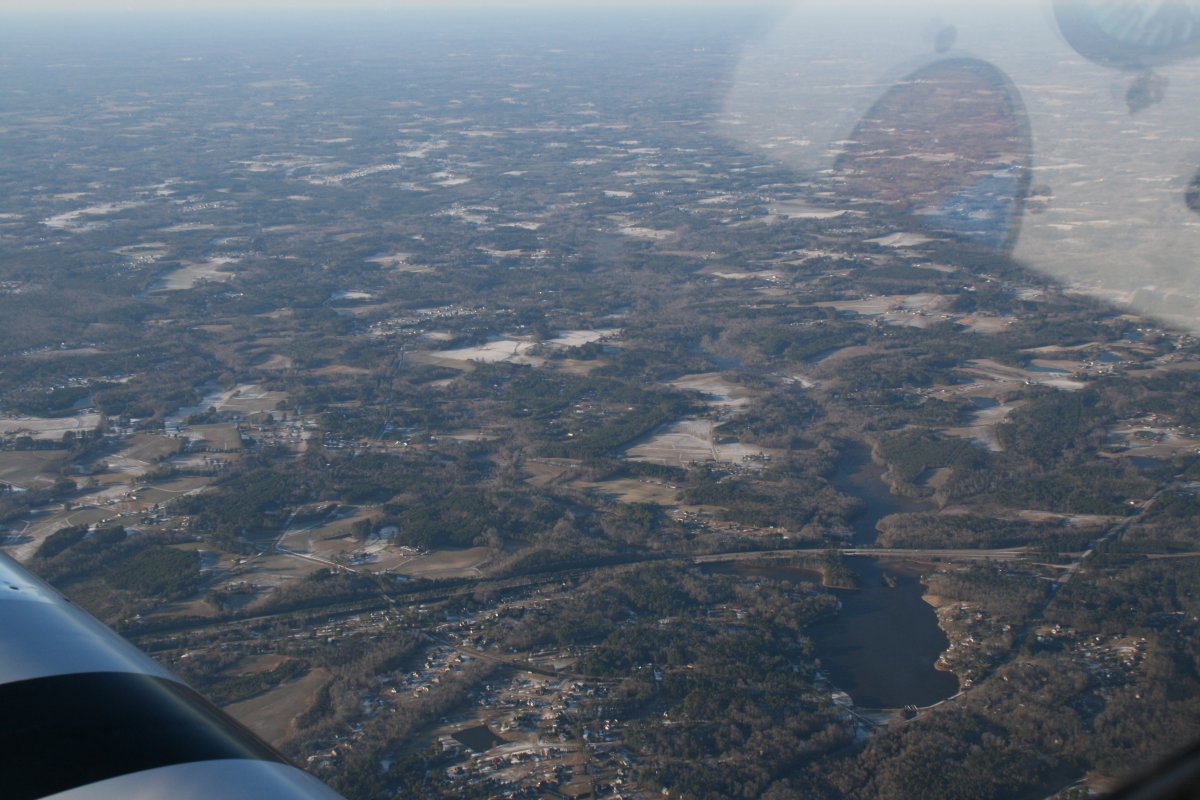
We started seeing snow on the ground after passing Raleigh-Durham. We knew a snowstorm had come through Virginia and Maryland yesterday, dumping three inches on everything. I knew I wouldn't be able to land at my home airport, Essex Skypark, because of the snow but I had called Easton Airport, which is a big, towered airport, and confirmed their runways were cleared and open.
By this time, the outside air temperature was less then ten degrees which overwhelmed the RVs little heater.
|
| |
 |
|
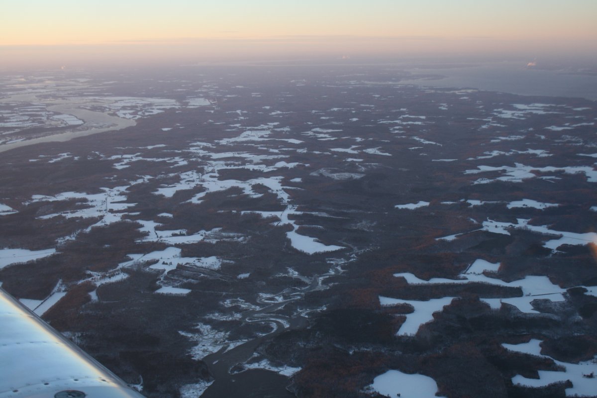
| By Virginia, the snow was thick on the ground. We could now see our breath inside the cockpit when we exhaled! |
| |
 |
|
|
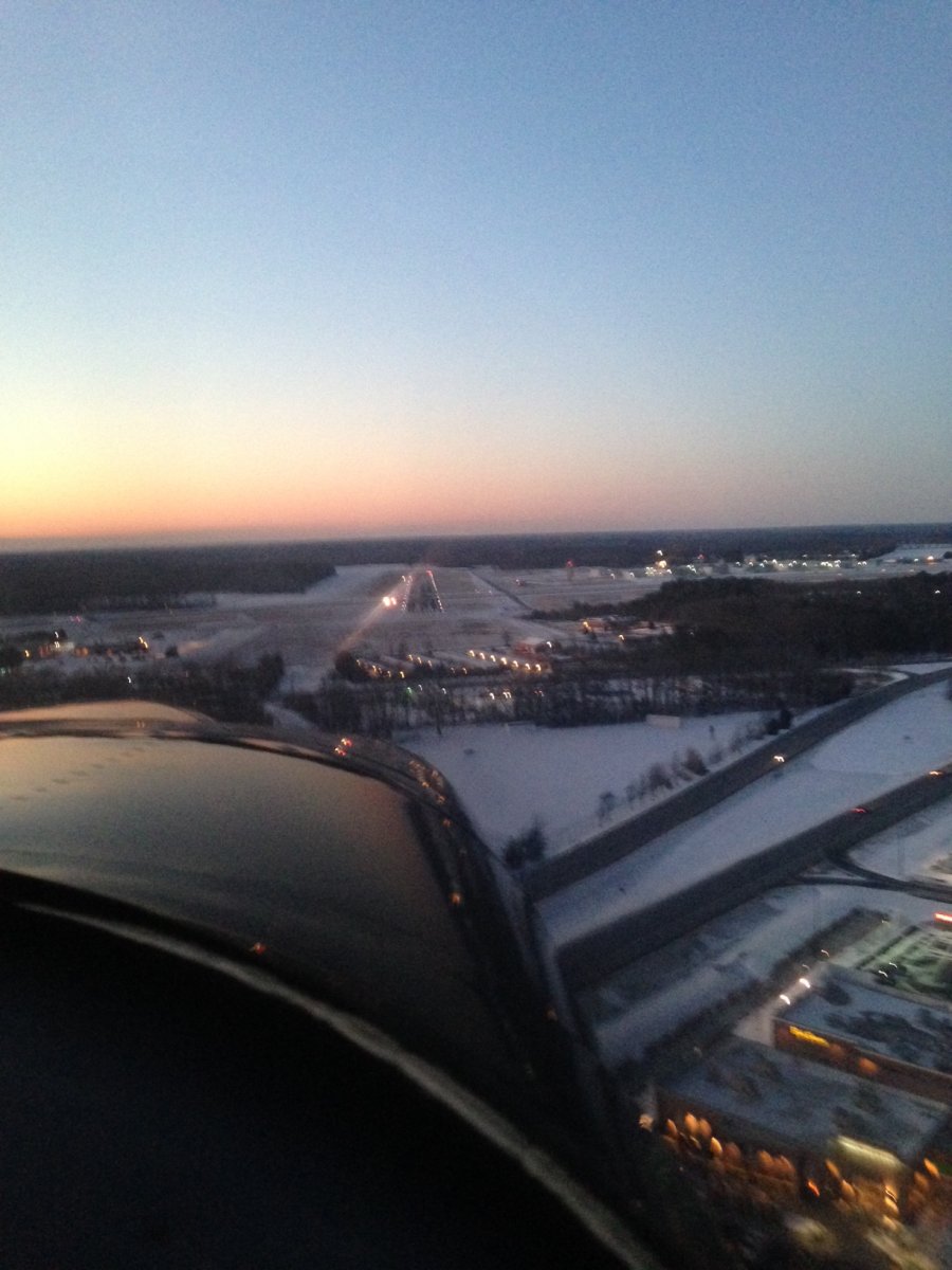
On final at Easton Airport, it was very beautiful, with the snow on the ground, the sunset, and runway lights. Lynnette took this shot with her smart phone. There were a few patches of ice on the runway but nothing to worry about. I made an uneventful landing and we taxiied to the ramp. It was 9 degrees outside. The FBO attendant helped me find some tie-down ropes buried in the snow. It was a nightmare tying down the airplane, unloading it and covering it in the darkness and cold. But it was nice to be home.
|
| |
| |
 |
|
| |
| |
|
|
|
|
|
|


