February 10, 2012 - Long Island Beaches, Connecticut Triplanes |
|
It was a frustrating week at work so I took a "mental health
holiday" on Friday and went flying. My plan was to fly the Jersey Coast,
make a right at New York City, fly around Long Island, then go north
into Connecticut to visit a Fokker Triplane builder, and then fly
home.
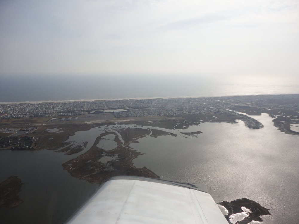
First stop was at Ocean City Airport, New Jersey for breakfast. They
have a little on-field restaurant. |
|
 |
|
|
My RV was the only plane on the big
ramp at Ocean City. |
|
 |
|
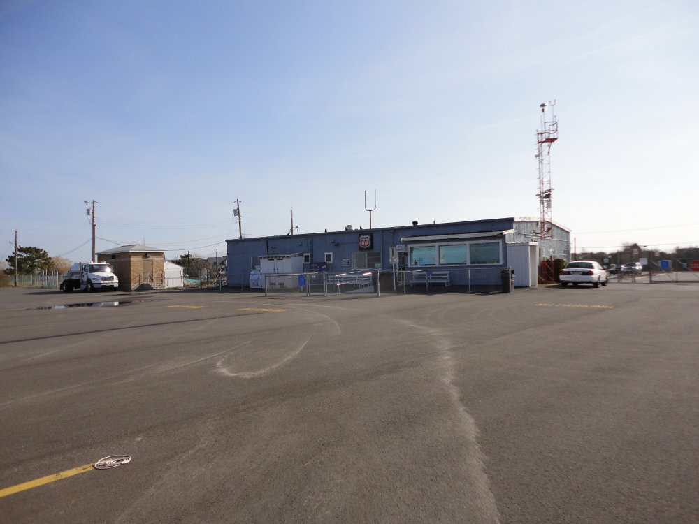
| The FBO building
also contains the small restaurant.
During beach weather, you can fly here and
walk to the beach. The FBO building even has shower facilities you can
use to get the sand off before you get in your plane to go
home. |
|
 |
|
|
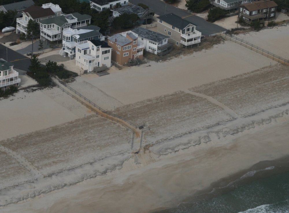
Flying up the Jersey Coast.
Most of the front yards seem to be sand, not grass. |
|
 |
|
| Looks like they
are trying develop vegetation-covered sand dunes. |
|
 |
|
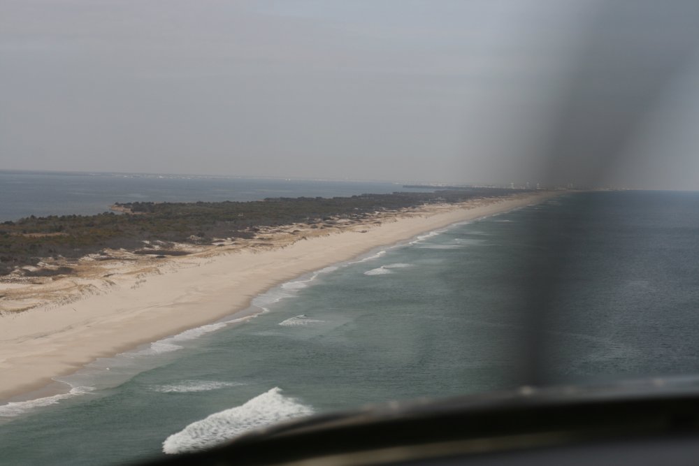
| Some areas of the
coast are undeveloped
and in their natural state. |
|
 |
|
| At this time of
year, on a weekday, there was not a soul to be seen. I'm sure it's a
different story in the summer. |
|
 |
|
|
It's easy to tell where the zoning
changes! |
|
 |
|
| Since I was in no
hurry, and had a great tailwind, I throttled the RV back to 1900 RPM
and 21 inches of Manifold Pressure so that I was "only" burning 6 gallons
per hour. I was still making 150 mph over the ground even throttled
back. |
|
 |
|
|
No pavement in this community, just
sand. |
|
 |
|
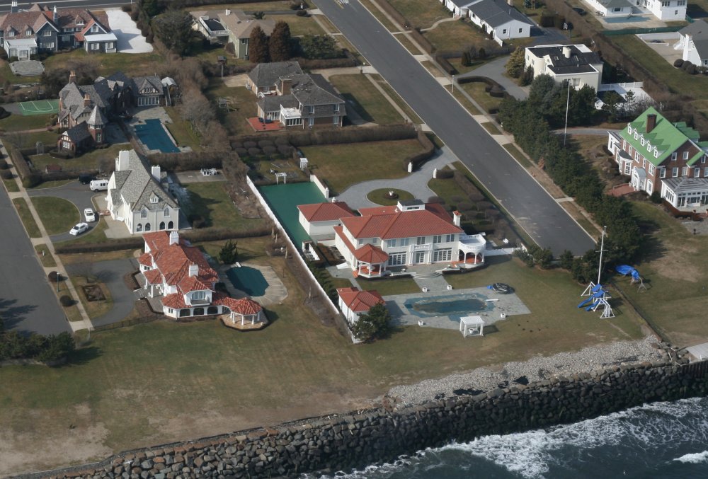
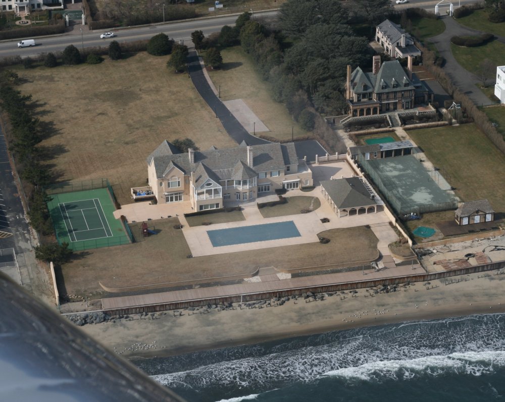
| Fancy mansions
on the seashore. |
|
 |
|
| It's good to be
rich! |
|
 |
|
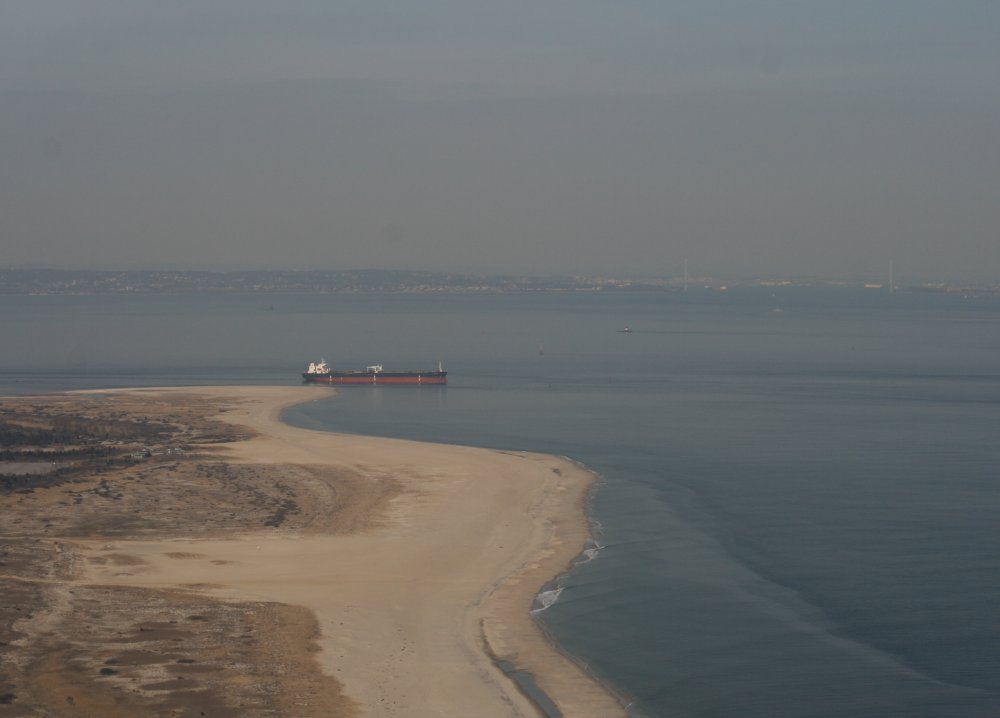
| Approaching Sandy
Hook. New York City can be seen in the far
right. |
|
 |
|
|
You can just make out the Verrazano
Bridge ahead and t the right. |
|
 |
|
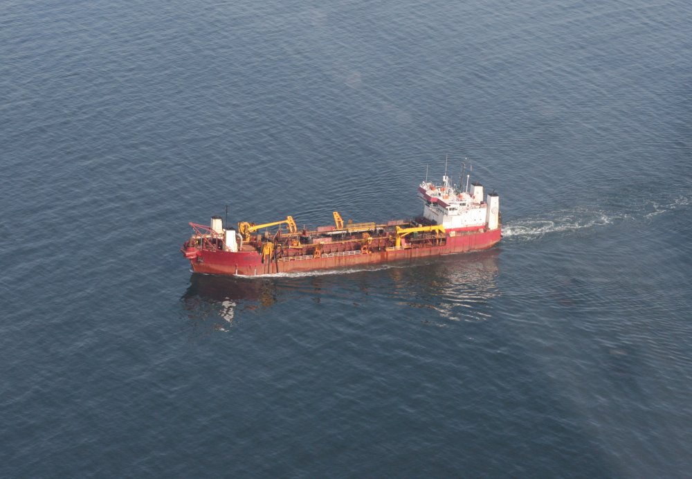
| To avoid JFK
International Airport airspace, I had to cut across the water to get to
Long Island. |
|
 |
|
|
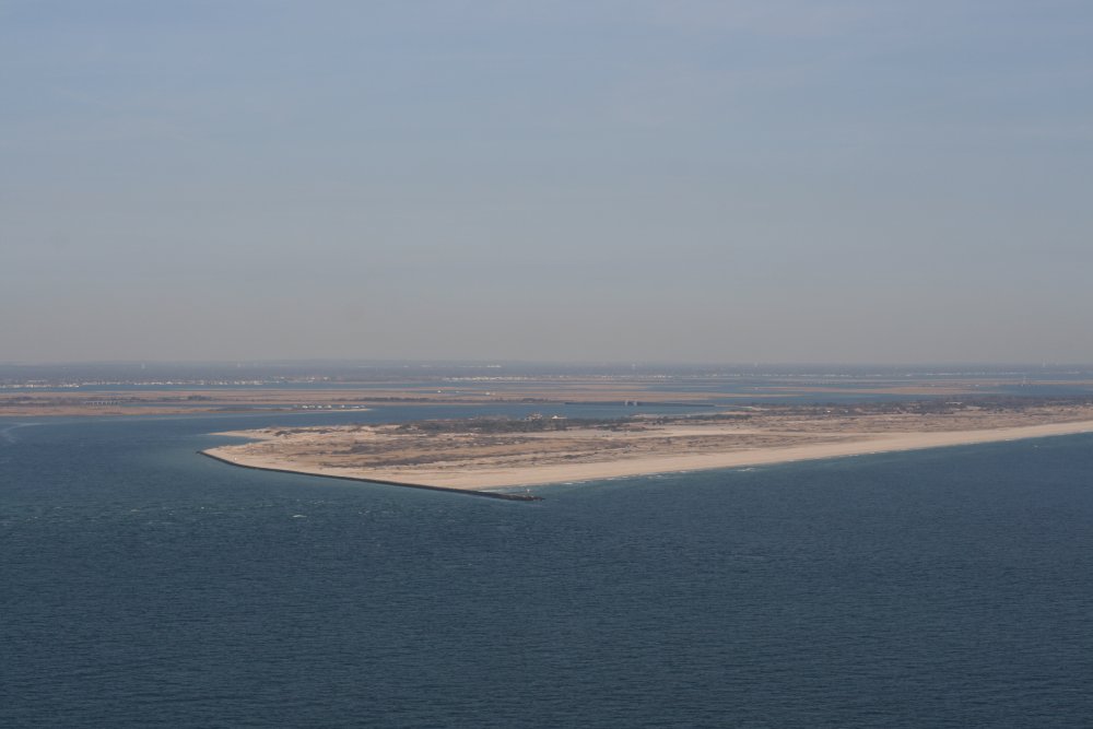
Approaching Jones Beach, Long
Island. |
|
 |
|
|
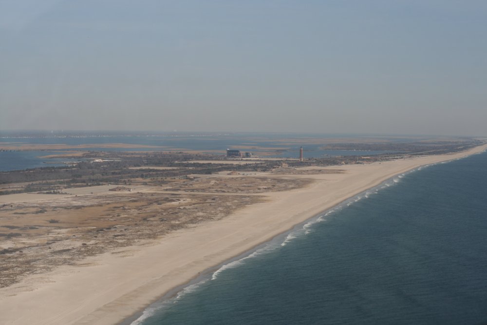
Jones
Beach State Park. According to Wikipedia, it is the most popular
and heavily visited beach on the East Coast. But not today.
They have the big New York Air Show here every Memorial Day
Weekend. All the big names fly the show including the Blue
Angels and Sean Tucker. |
|
 |
|
|
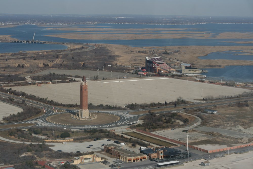
And that must be Jones Beach Water Tower.
|
|
 |
|
| |
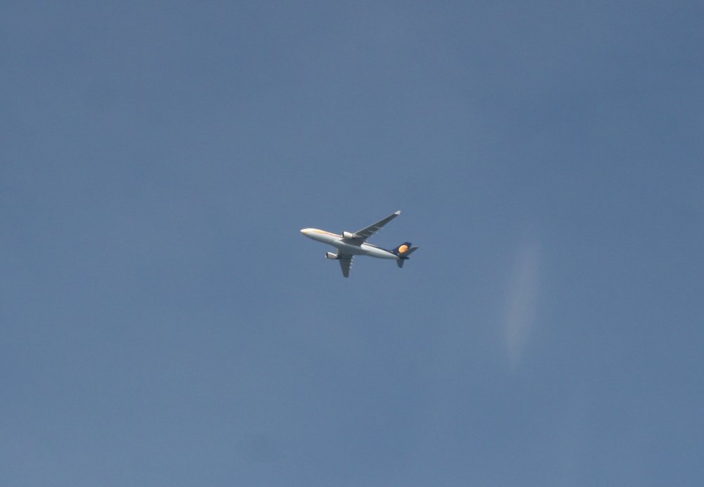
| I was down low to
stay under the JFK airspace. This big guy was descending for
landing as I passed by. |
|
 |
|
|
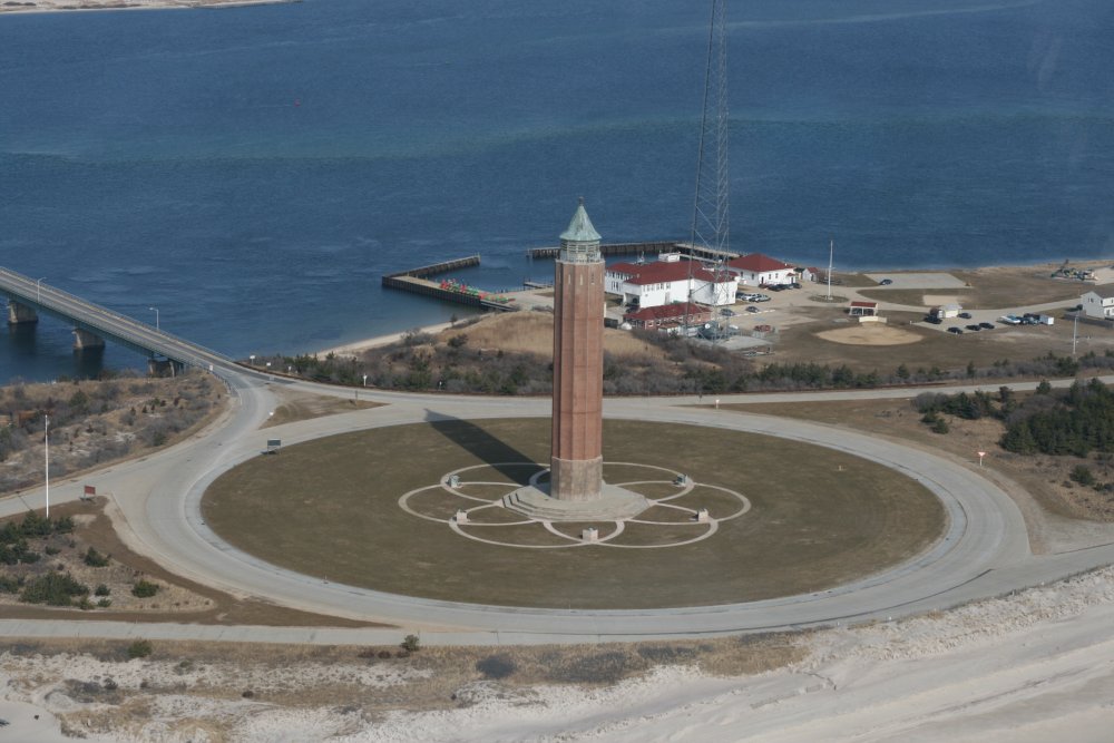
Another water tower farther
east. |
|
 |
|
| I guess this isn't
Long Island per se, but a barrier island running parallel to Long
Island. Still, I was amazed by how long and how nice the beach
is. Who knew? |
|
 |
|
|
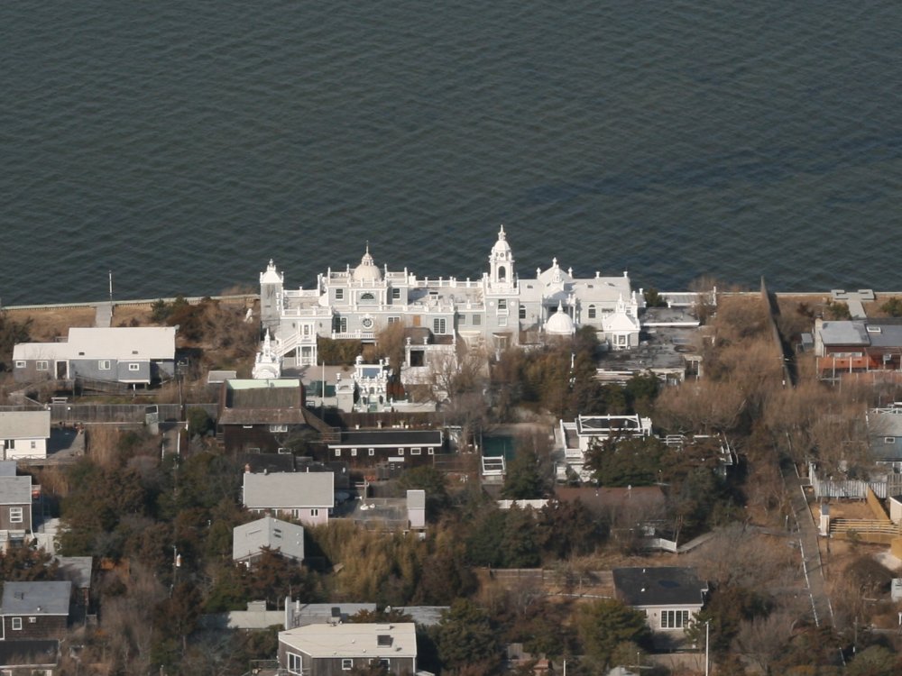
I wonder what this is. It looks
more like a church than a private residence. |
|
 |
|
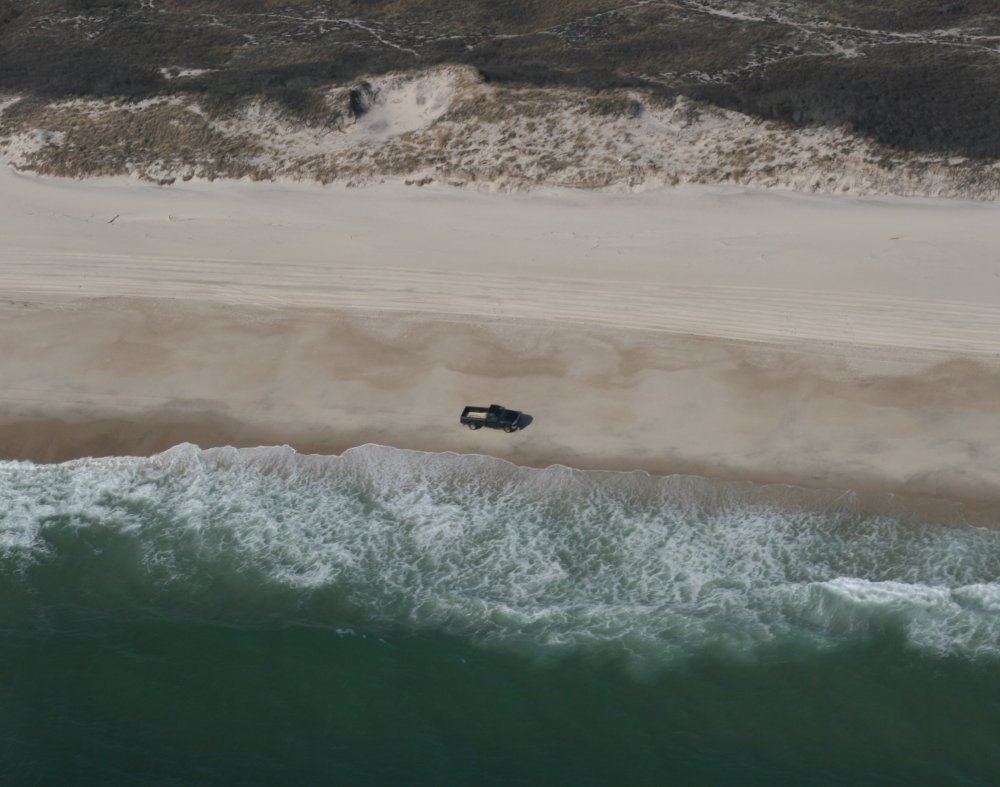
| Truck driving down
the beach. |
|
 |
|
|
There were huge parking lots for
beachgoers. |
|
 |
|
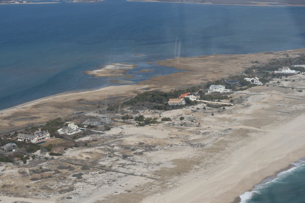
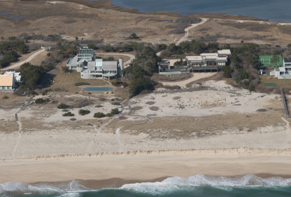
| Now we are flying
by the famous "Hamptons" which is some
of the most expensive residential property in the U.S. |
|
 |
|
| Not too
shabby! |
|
 |
|
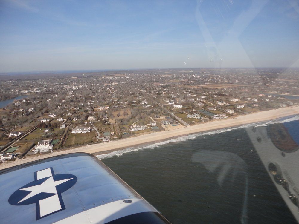
| Still the
Hamptons. Long Island Sound just barely be seen on the other
side. |
|
 |
|
|
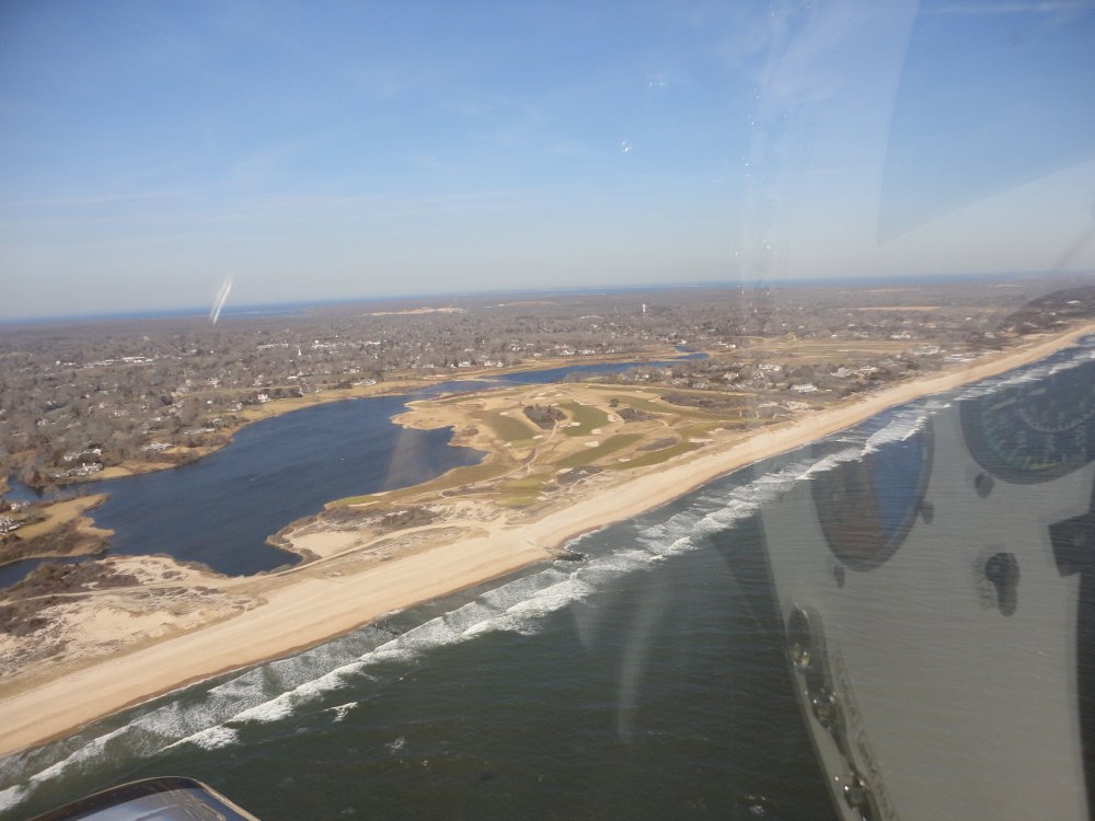
I wonder what the green fees are for
this golf course? |
|
 |
|
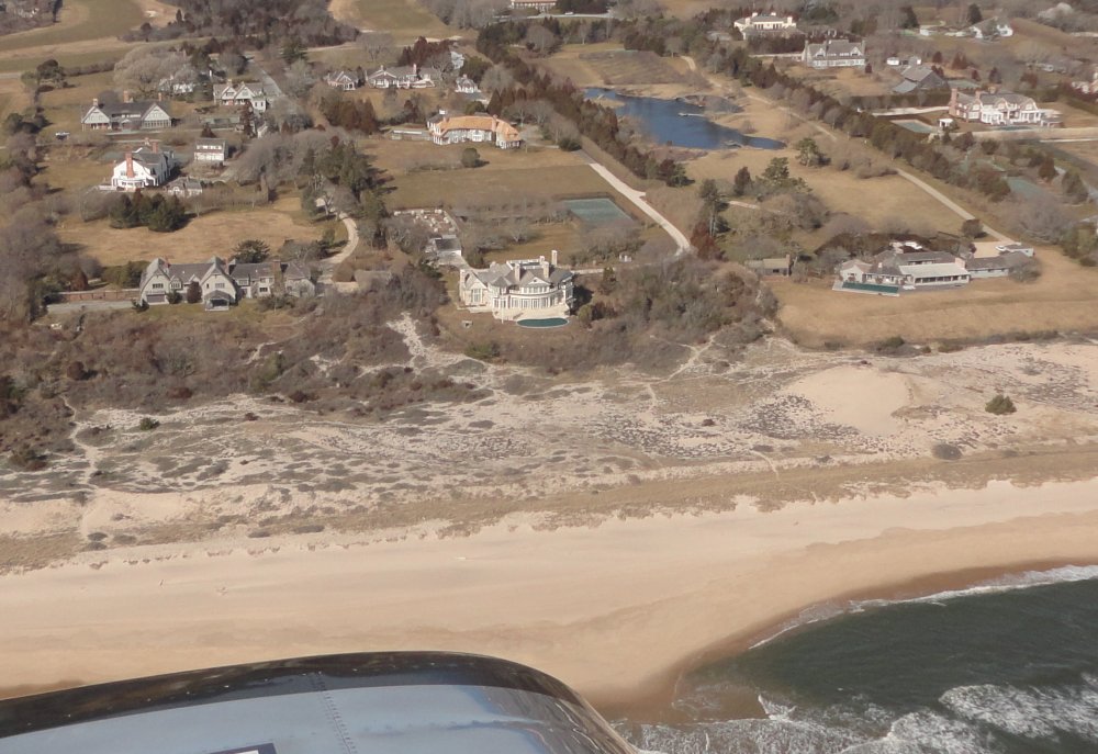
| Did I mention it's
good to be
rich? |
|
 |
|
|
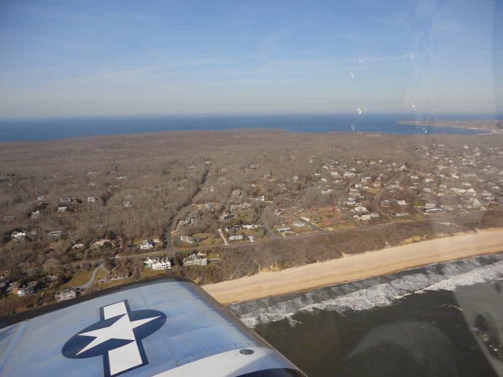
The eastern tip of Long Island is
very wooded. |
|
 |
|
| The
beach has turned to cliffs. I reach the end, called Montauk Point. |
|
 |
|
| Turning the
corner. |
|
 |
|
| The Montauk harbor
is on the north side, a little west of the point. Some people from
my work have
been up here a few times to go deep sea fishing. There is also a
nearby airport, seen below. It's supposed to be a nice place to stop
when the weather is good; Lynnette and I will have to fly up here some
weekend. |
|
 |
|
|
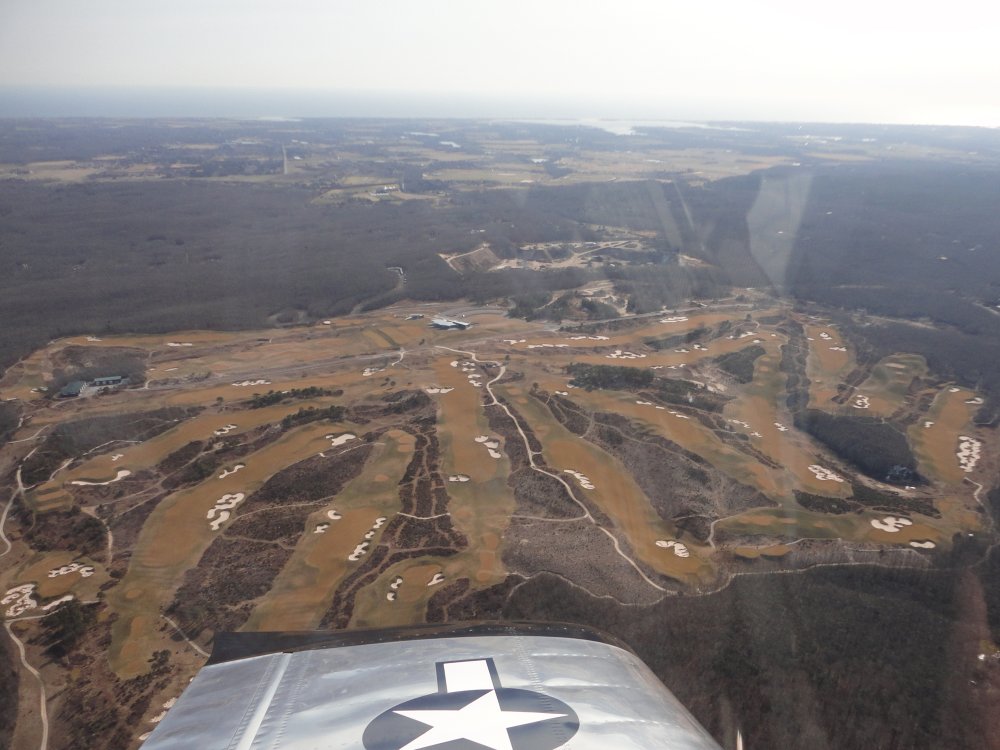
This huge golf complex really stood
out. Now I am heading west along the north
shore. |
|
 |
|
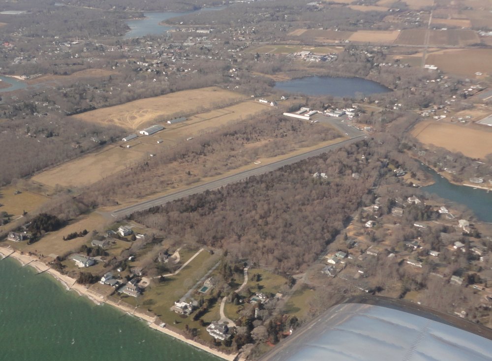
| Overflying Mattituck
and Mattituck Airport. Only 4912 people live
here. |
|
 |
|
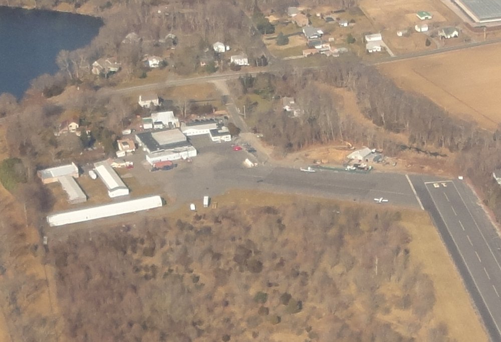
Why do I care about
Mattituck? The TMX-360 engine that powers my plane was
assembled here by Mattituck Sevices
Inc. They are one of the best names in the business. I'm guessing my
engine was assembled in one of those buildings down there.
I didn't have time to stop, however. |
|
 |
|
|
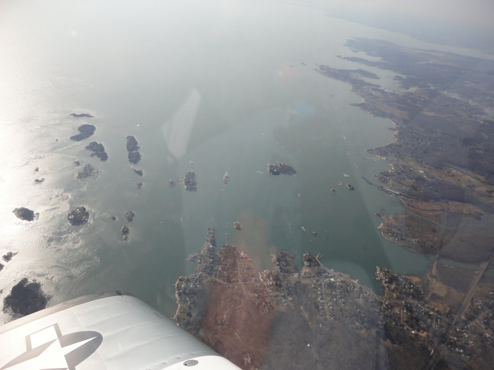
After Mattituck, I'd seen enough of Long Island -- the north side
isn't nearly as interesting as the south side, plus the sun and glare were
now in my eyes. I turned north and climbed to get across Long
Island Sound. Below, I am just entering the mainland between Groton
and New Haven. |
|
 |
|
| Looking back at
New Haven although you can't see it because of the glare. |
|
 |
|
| |
| I flew inland for 20
miles or so looking for my destination: Waterbury Airport
(N41). My only experience with Connecticut is driving to and
from Maine on a highway so I was surprised at tree-covered hilly
terrain. Visibility was pretty good but I saw nothing ahead that
looked like an airport except a big open field on top of a
hill. Soon it became obvious that this must be the
airport. Sure enough it was. I could see planes parked along
the treeline. I had called the airport manager earlier in the day to
make sure the grassfield was in suitable condition for landing. I
really didn't want to land on a muddy field. But the field was
reasonably hard and I had no trouble at all. |
|
 |
|
|
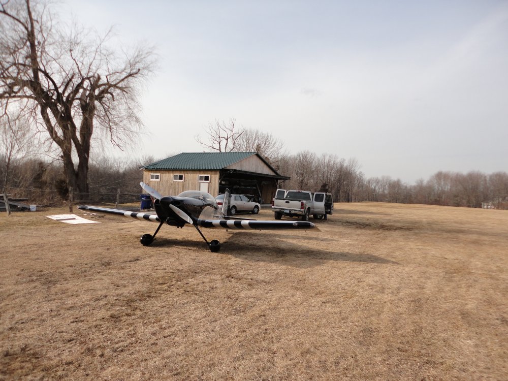
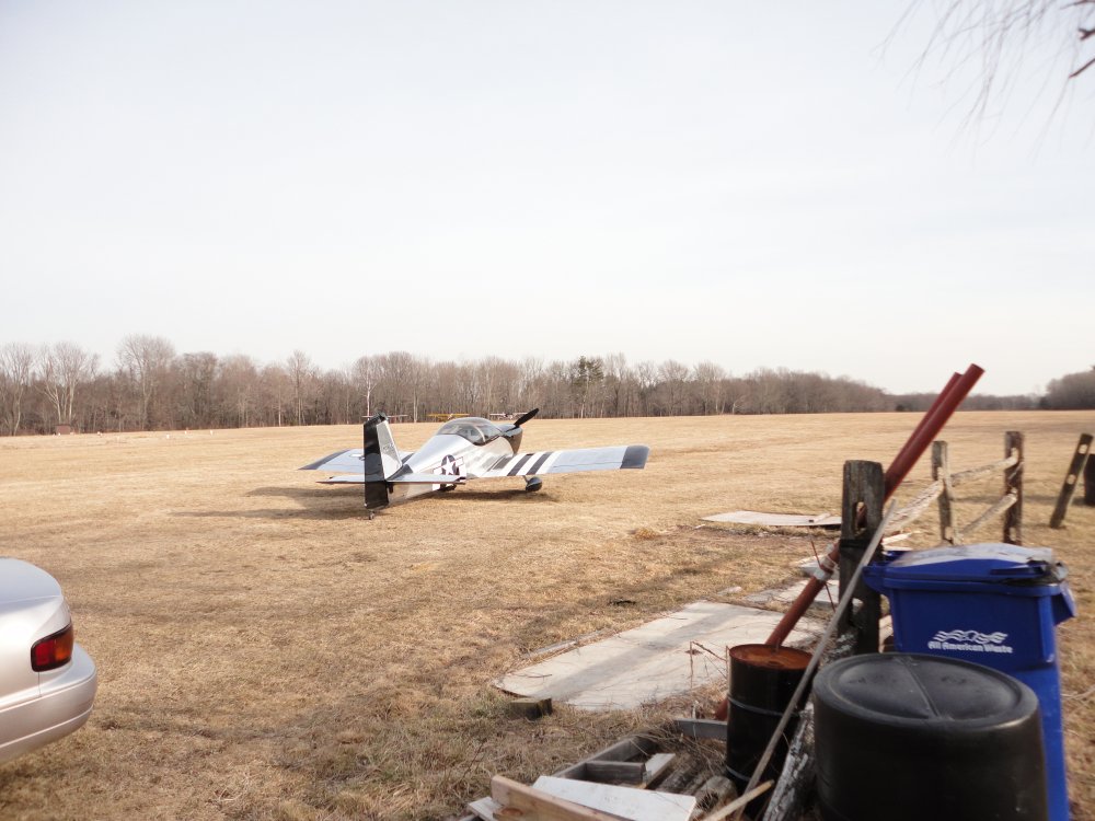
Parked outside the only hangar on the
field. |
|
 |
|
|
|
 |
|
|
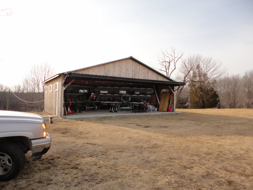
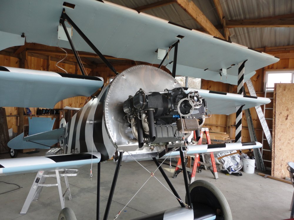
The hangar contained not one, but two
Fokker Triplanes! |
|
 |
|
| This is Jim B.'s
Triplane project which is nearing completion. He should fly in a few
months. |
|
 |
|
| Ed is the owner of
the other Triplane, which is fully operational. |
|
 |
|
| |
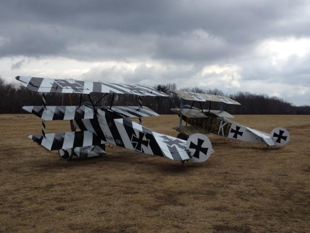
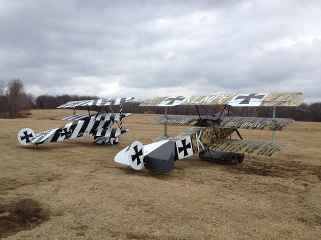
| Jim took this
picture a few days later. The two Triplanes look awesome sitting
outside together. You would never know it is not 1917. |
|
 |
|
|
Jim was nice enough to spend about an
hour and a half telling me about his project, and giving me building
tips. The airport manager, Ken, stopped by and I enjoyed talking
with him as well. Both Jim and Ken liked the RV. |
|
 |
|
|
I left Waterbury around 3PM. Even though I still
had three hours of daylight left, I didn't feel like sightseeing anymore so
I headed for home. The sun was gone and it was kind
of overcast and gloomy. I transited home at 4500 feet. The
headwind wasn't as bad as I had feared so I made it home in good time, about
an hour and a half. It was a little cool up at 4500 feet.
My heater just wasn't able to cope with the temperature in the high
20s.
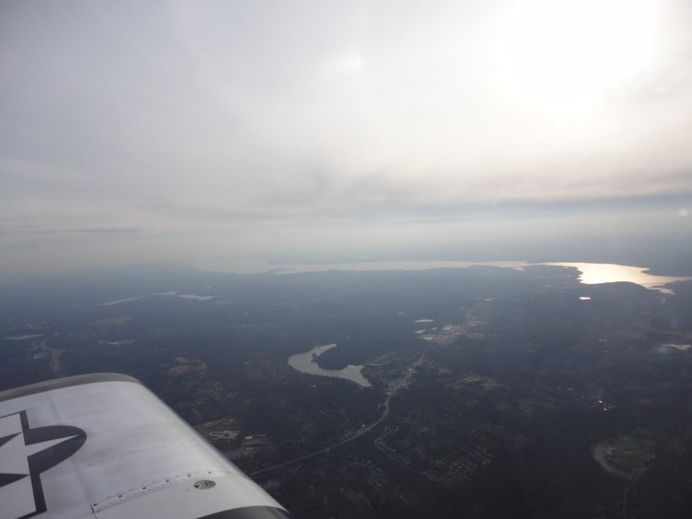
Here I'm about to cross the Hudson River north of NYC. |
|
 |
|
|
Northeast of Philadelphia, I passed over Kolb Airstrip,
which Scott, Bruce and I flew to in a 172 way back in 1995. We each
took an hour lesson with an instructor in a Kolb Mark III
ultralight. |
|
 |
|
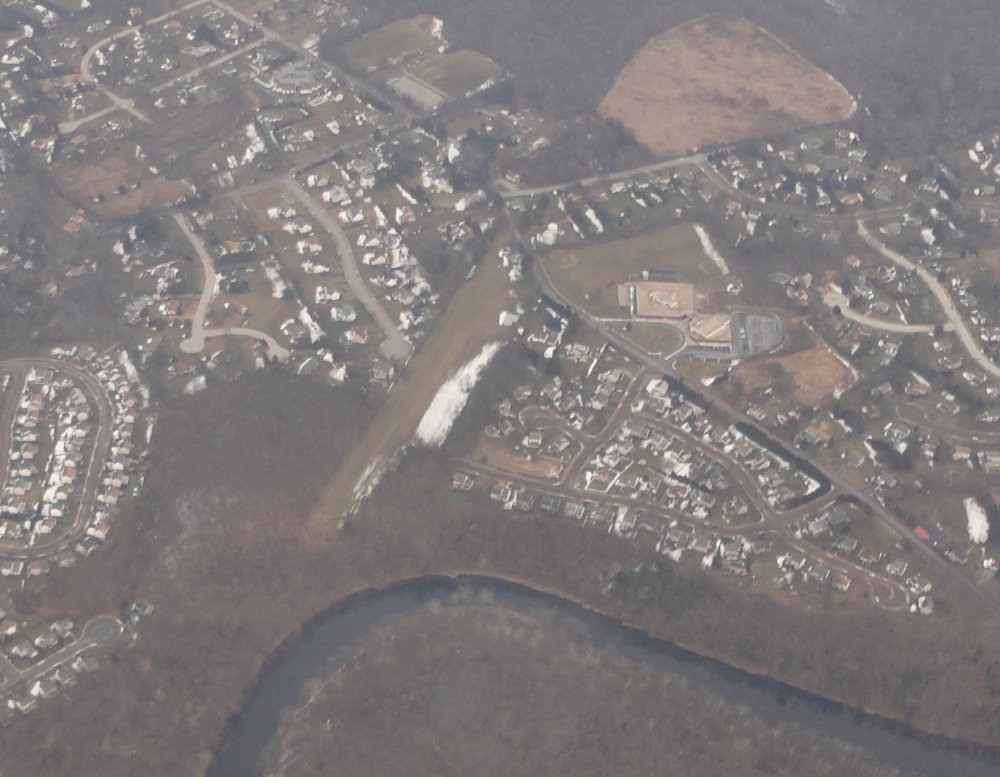
| About to cross the Susquehanna
River. The RV knows its way home at this point.
All in all, it was a great day of flying. I didn't
think about work at all! |
|
 |
|
| |
|
|
|
|
|
|
|


