June 15, 2008 - Citabria over Antietam
Drove out to the Flying Cow glider field to do some soaring. Bill B. keeps the Citabria there and asked me if I wanted to fly it for an hour. Let me think about it ... Sure!
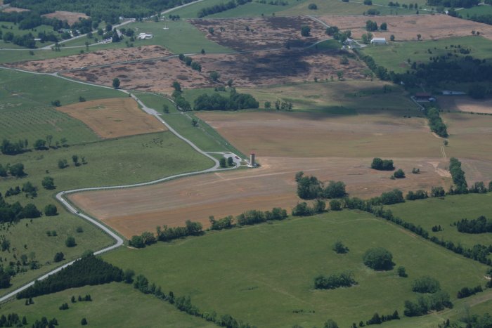
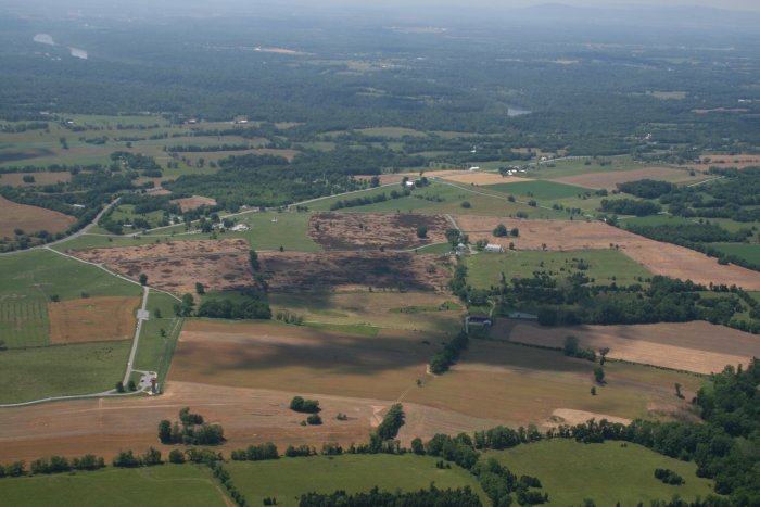
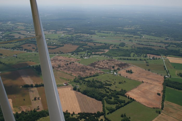
Even though the Antietam Battlefield is just on the other side of the ridge, I had never really examined it in the Citabria. So I headed northwest and checked it out. In case you don't know, Antietam was one of the major U.S. Civil War battles and was the first of the two Southern offensives into the North.
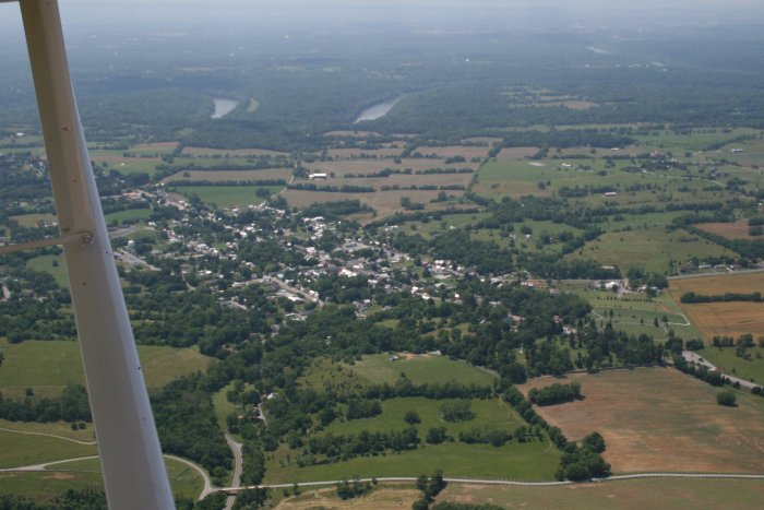
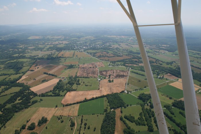
That's the town of Sharpsburg below looking from east to west. The battlefield is in the lower right hand corner. The Potomac River is top center.
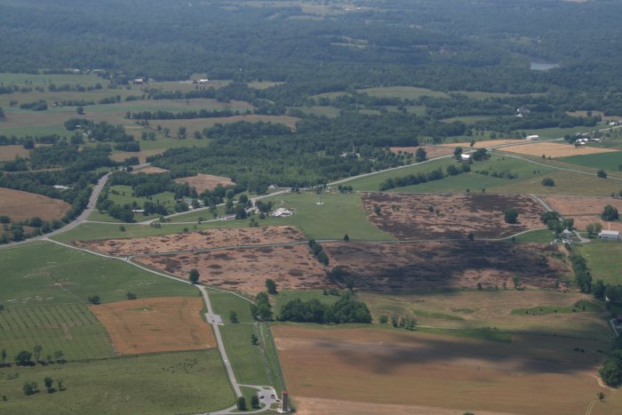
From the geographic point of view, the battlefield site doesn't make sense to me. It doesn't seem to be a very strategic spot. Just a spot in a big, flat valley. Not really close to the big Potomac River. I looked for, but couldn't find, the Antietam Creek.
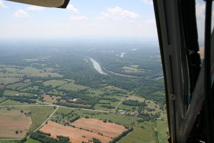
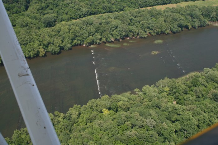
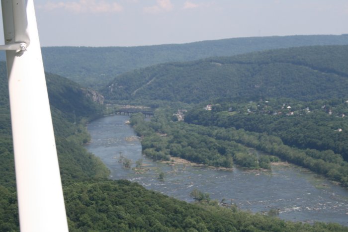
Looking at Harper's Ferry from the west. The Flying Cow gliderfield is on the other side of those two ridges.
I made a nice landing on the grass. It was really great to fly the Citabria again.