July 12, 2025 - Driving to Alaska
Whitehorse to Toad River, BC
|
|
Today would be very memorable. I think it was just a combination of a beautiful day, spectacular scenary, and multiple wildlife sightings.
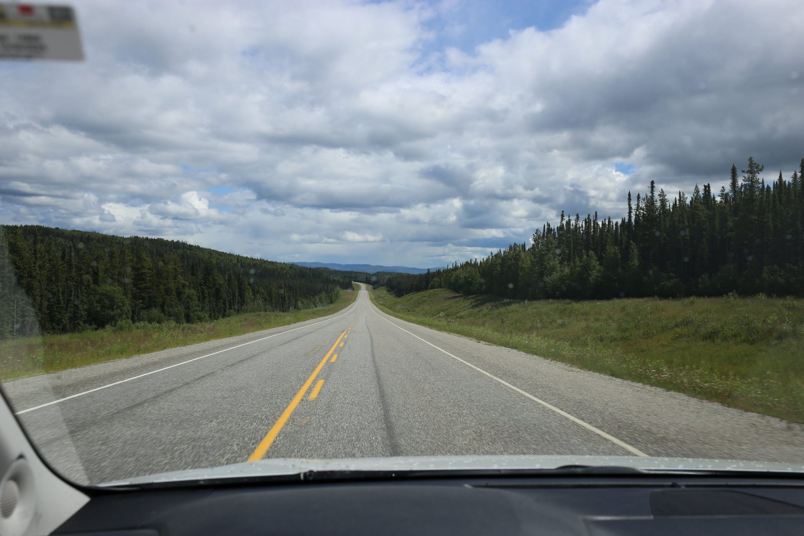
We were traveling the Alaska Highway from Whitehorse past Watson Lake to the Toad River Resort. It's a little over eight hour drive with no stops.
We hit the road!
|
| |
 |
|
|
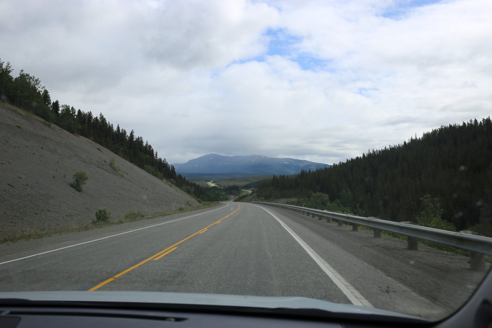
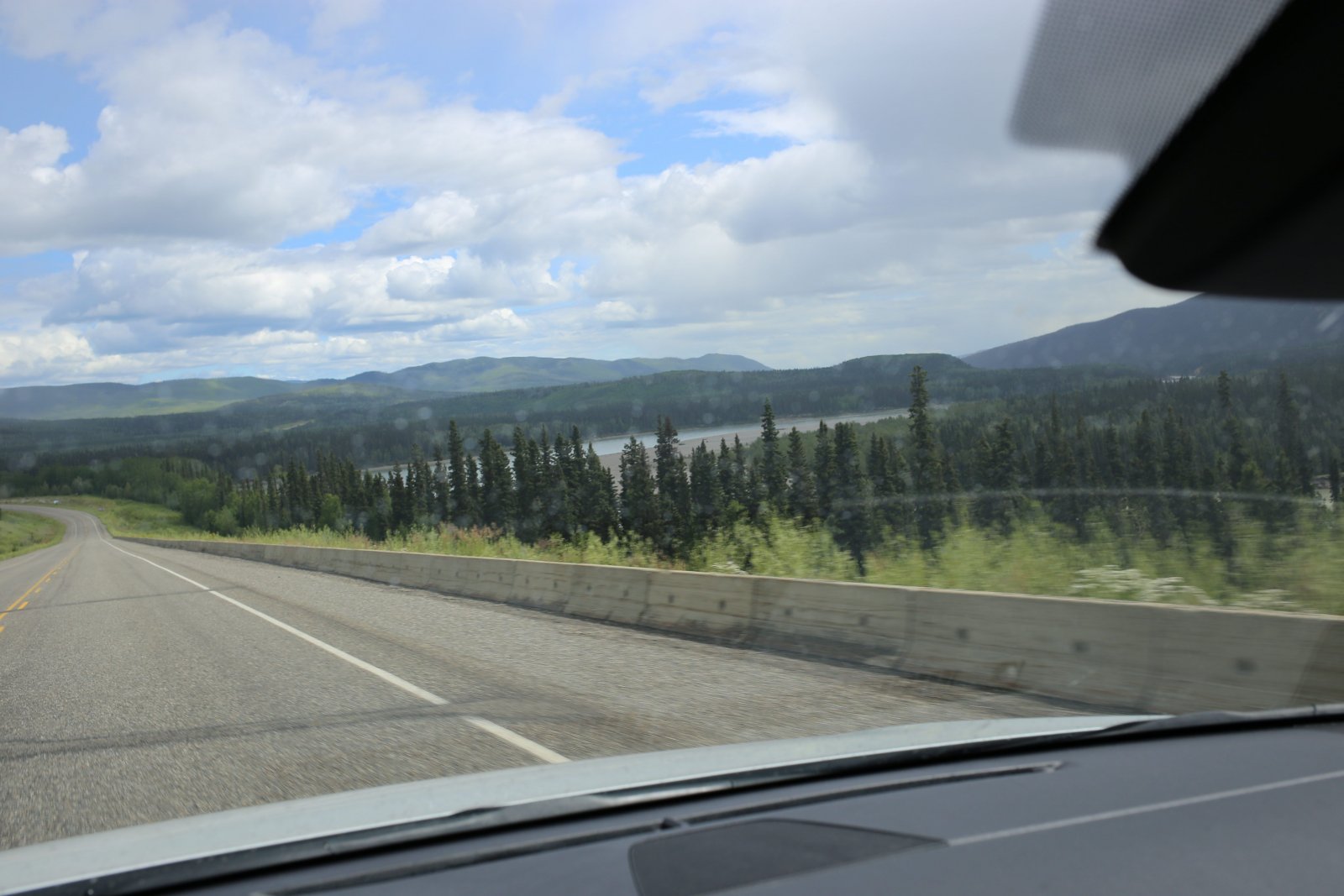
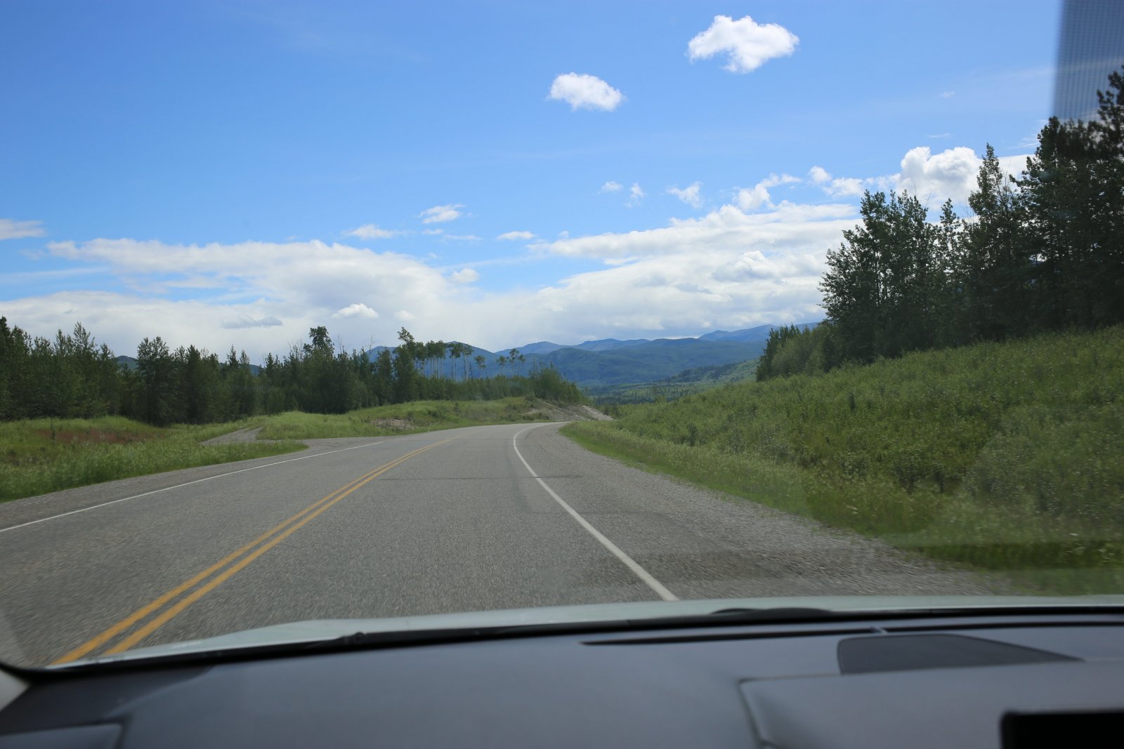
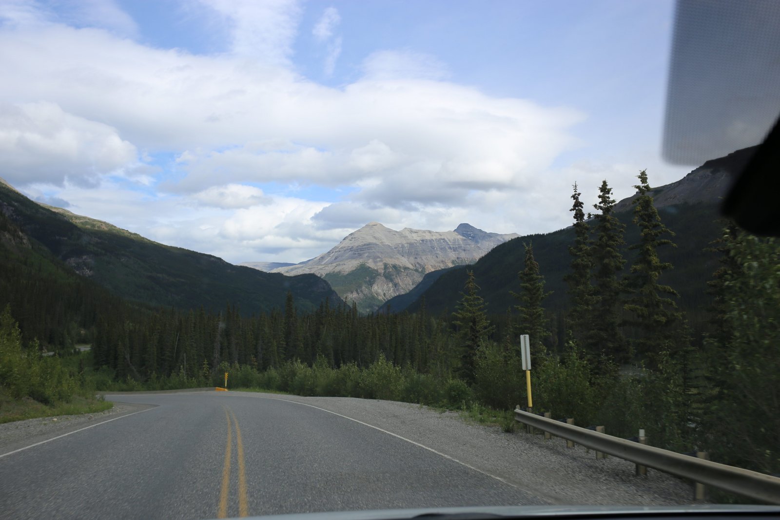
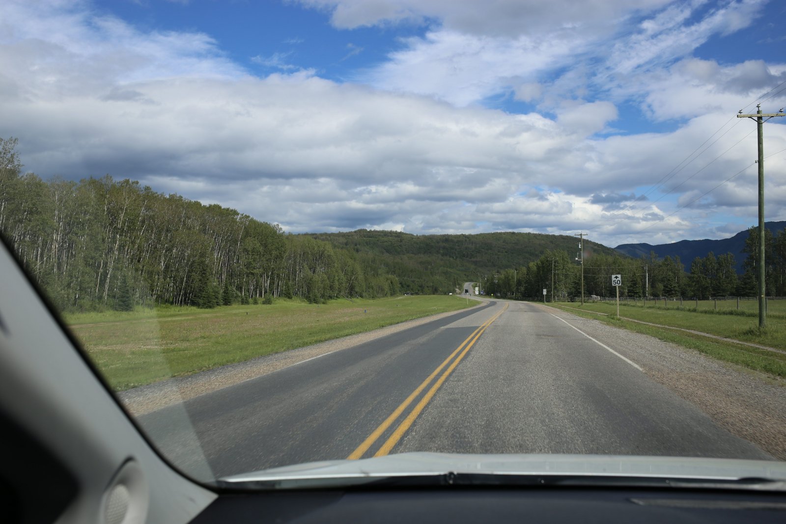
Typical view. As you can see, the highway is in excellent conditions, with wide shoulders. The forest is cut well away from the highway, I'm guessing so wildlife won't jump from the forest right into the road.
|
| |
 |
|
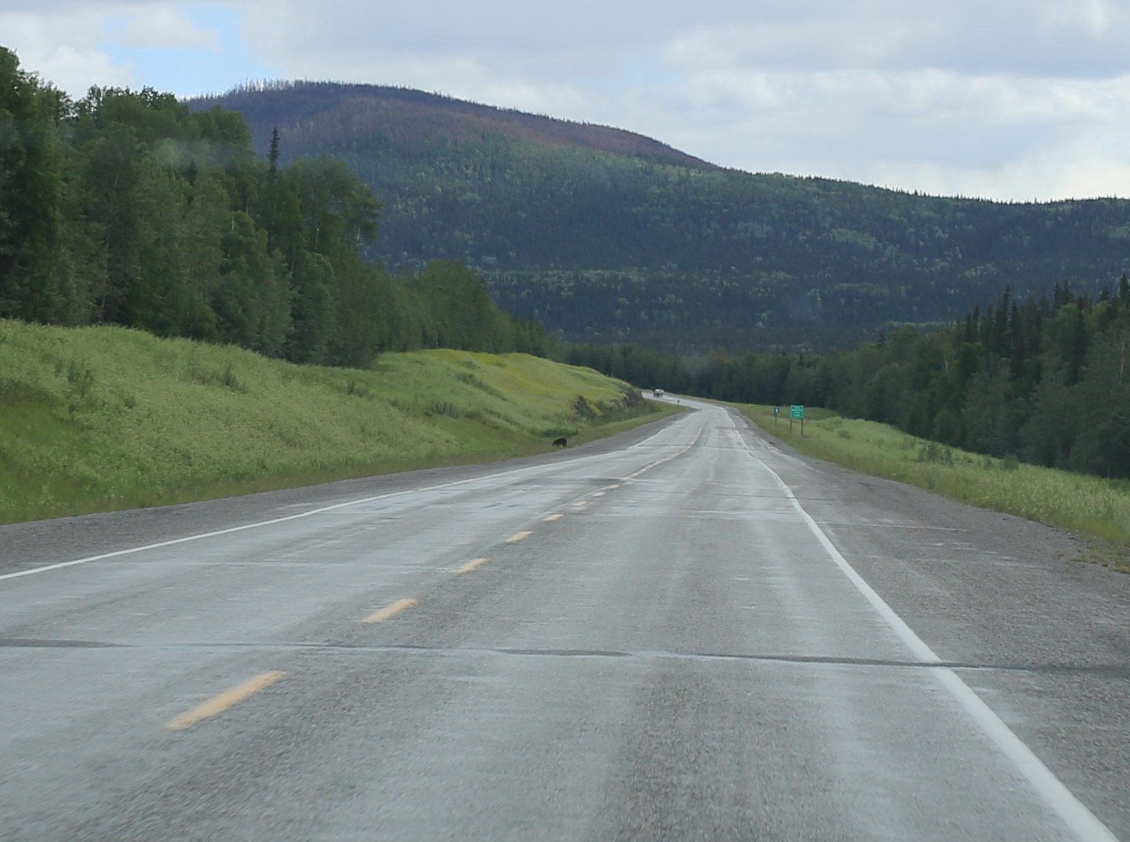
| Speaking of wildlife, we see our first bear today. |
| |
 |
|
|
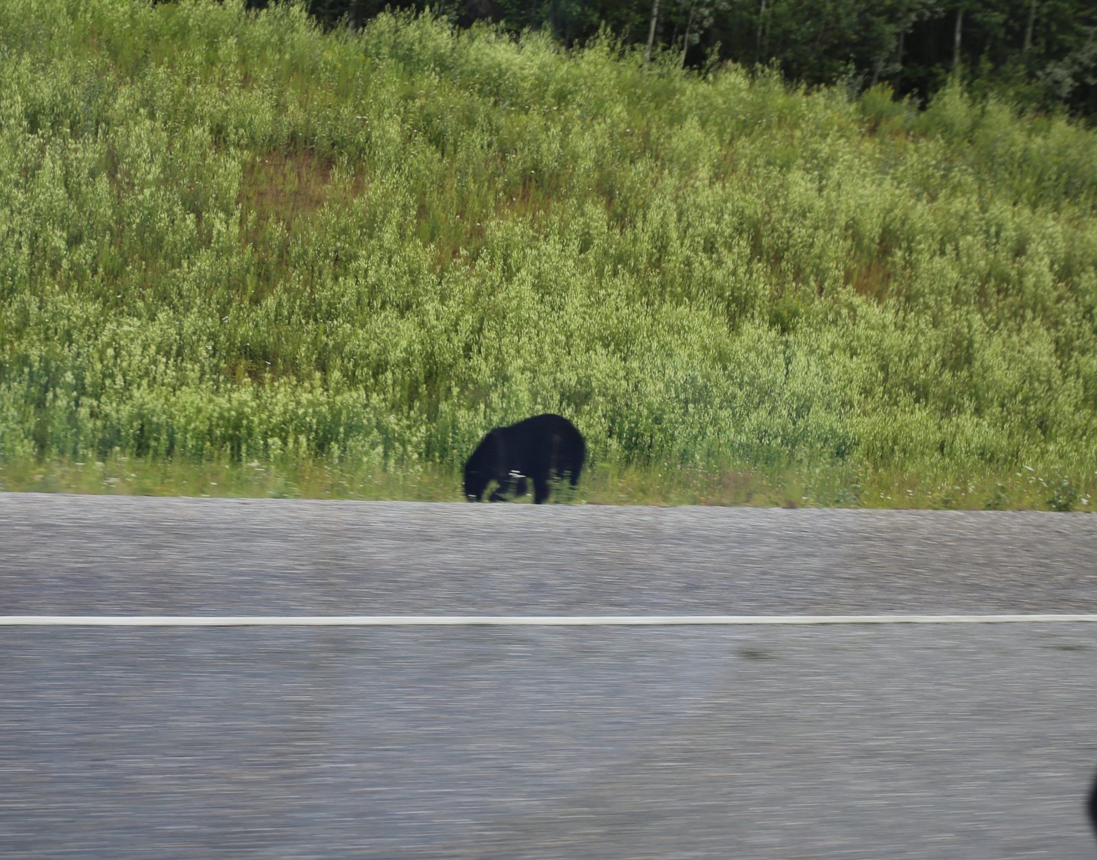
A small black bear foraging by the Alaska Highway.
|
| |
 |
|
| P14 |
| |
 |
|
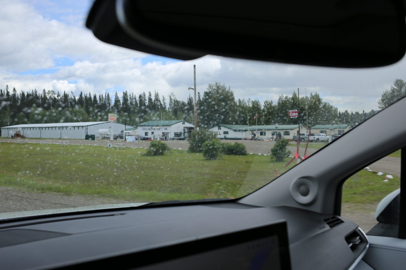
| Coal River Services. |
| |
 |
|
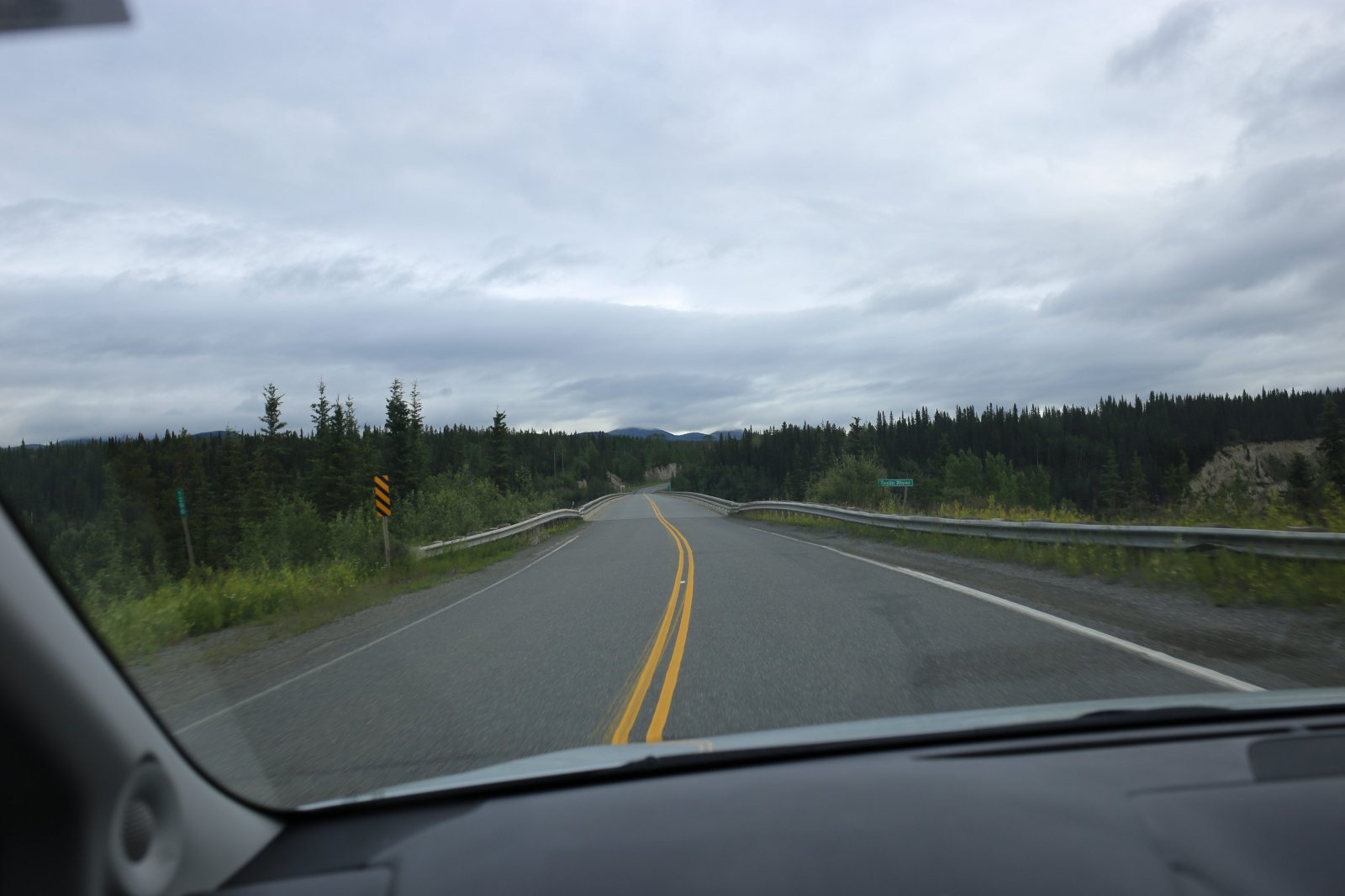
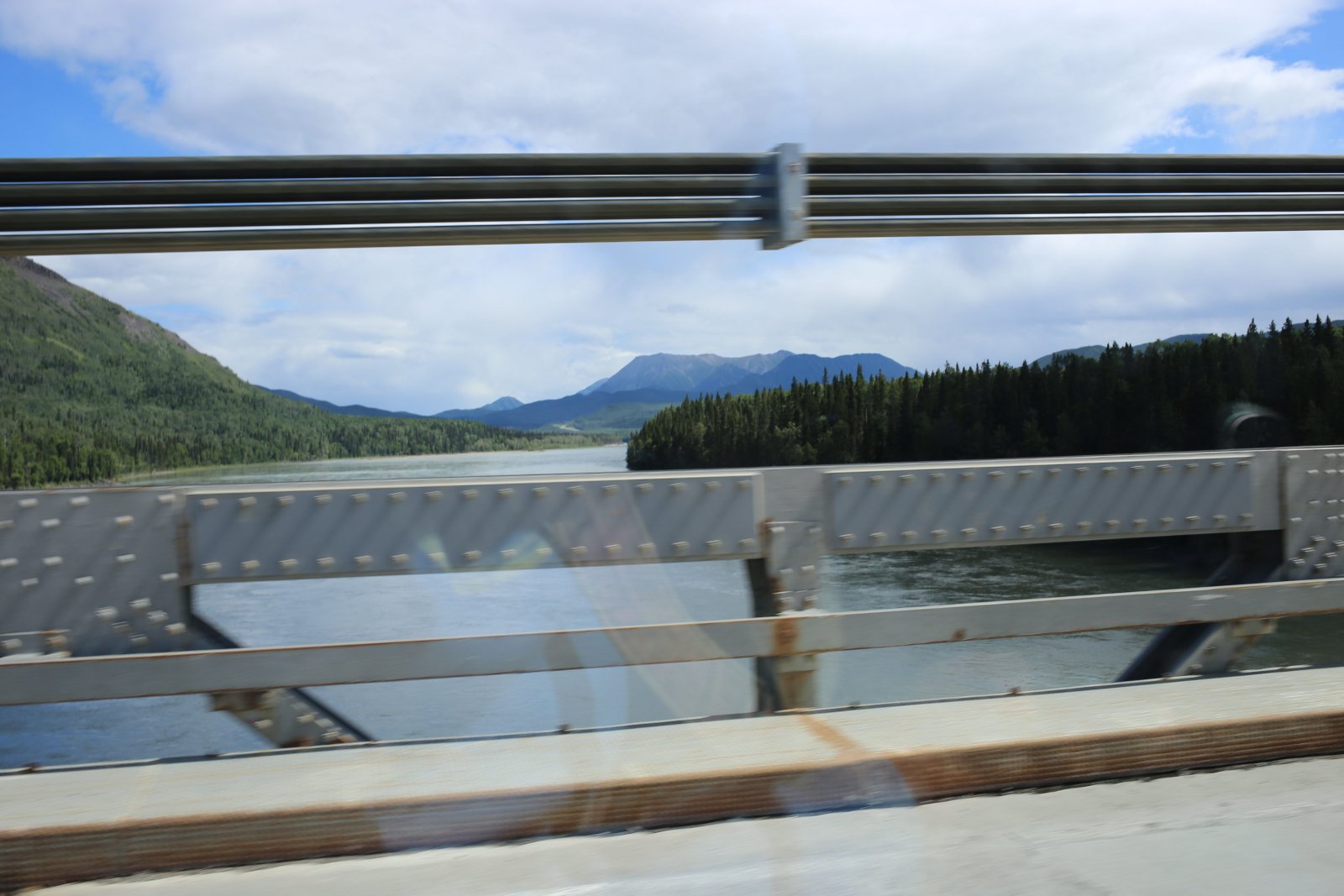
| Approaching the bridge over the Teslin River. |
| |
 |
|
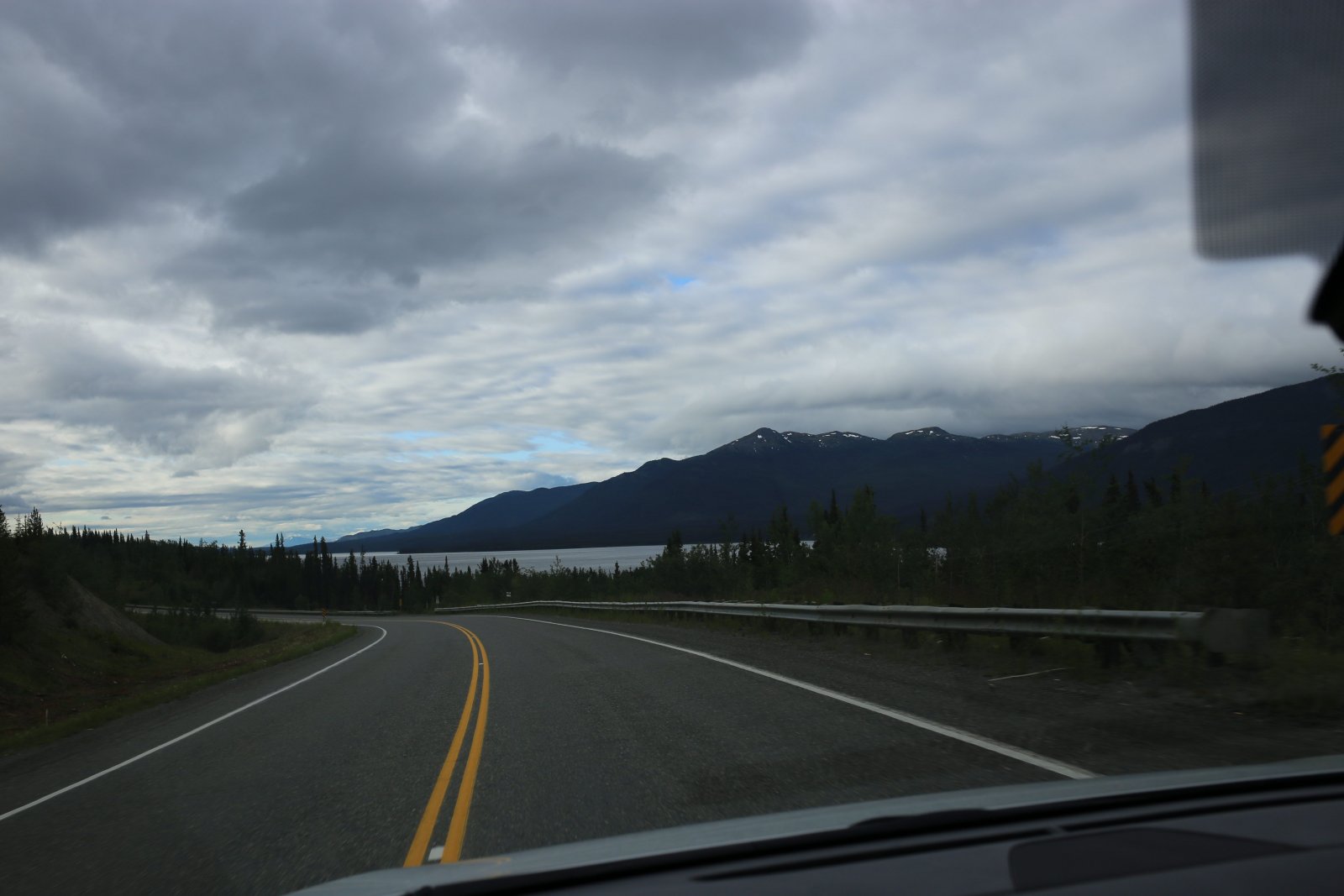
| Long Teslin Lake comes into view. |
| |
 |
|
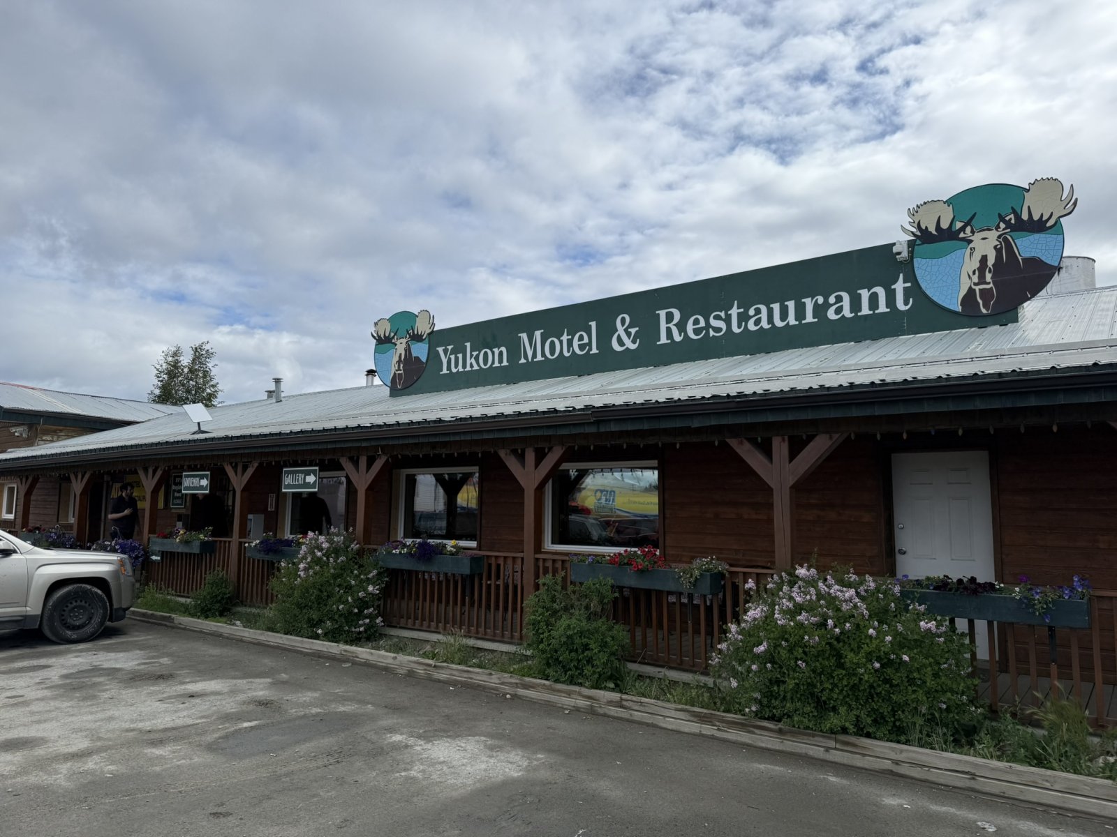
| About halfway down Teslin Lake, is the little town of Teslin where we stop at the Yukon Motel & Restaurant for breakfast. |
| |
 |
|
|
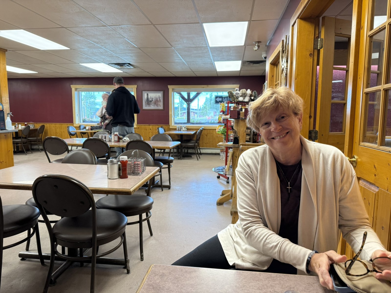
The Yukon Restaurant serves a nice breakfast.
|
| |
 |
|
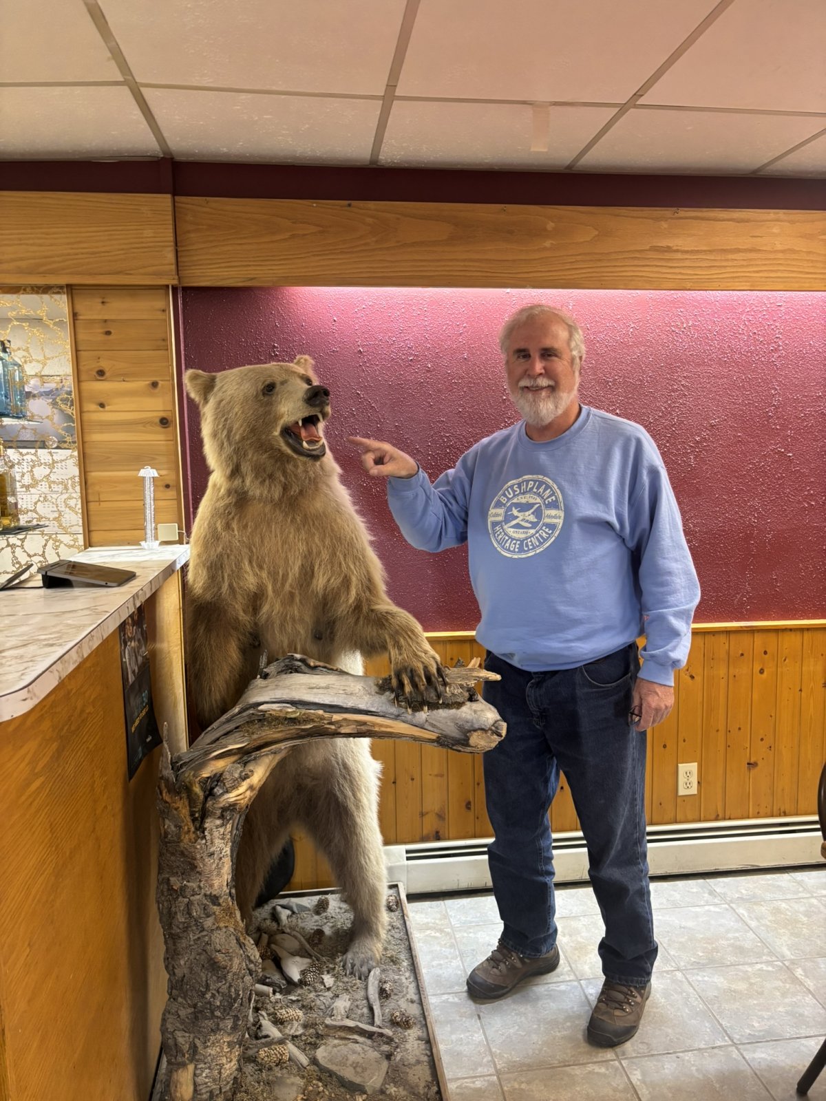
| Don't poke the bear! |
| |
 |
|
|
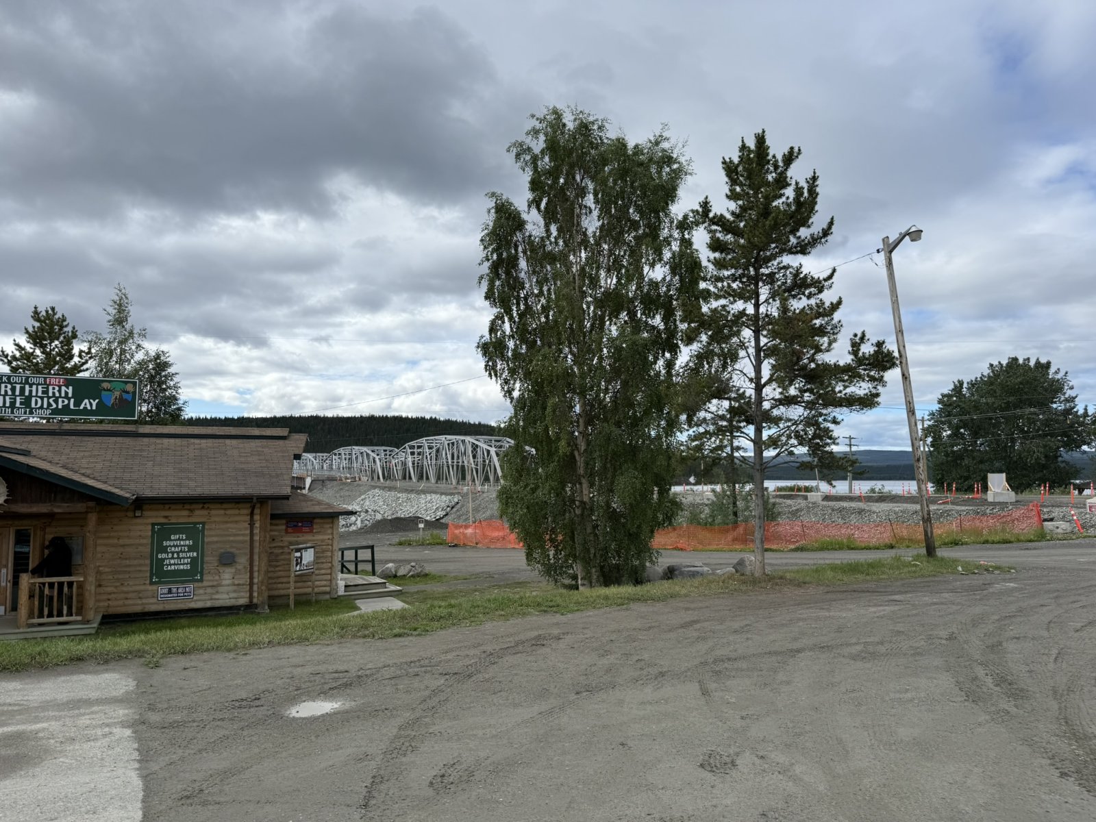
Looking at the way we must go, over that bridge and back on the Alaska Highway.
|
| |
 |
|
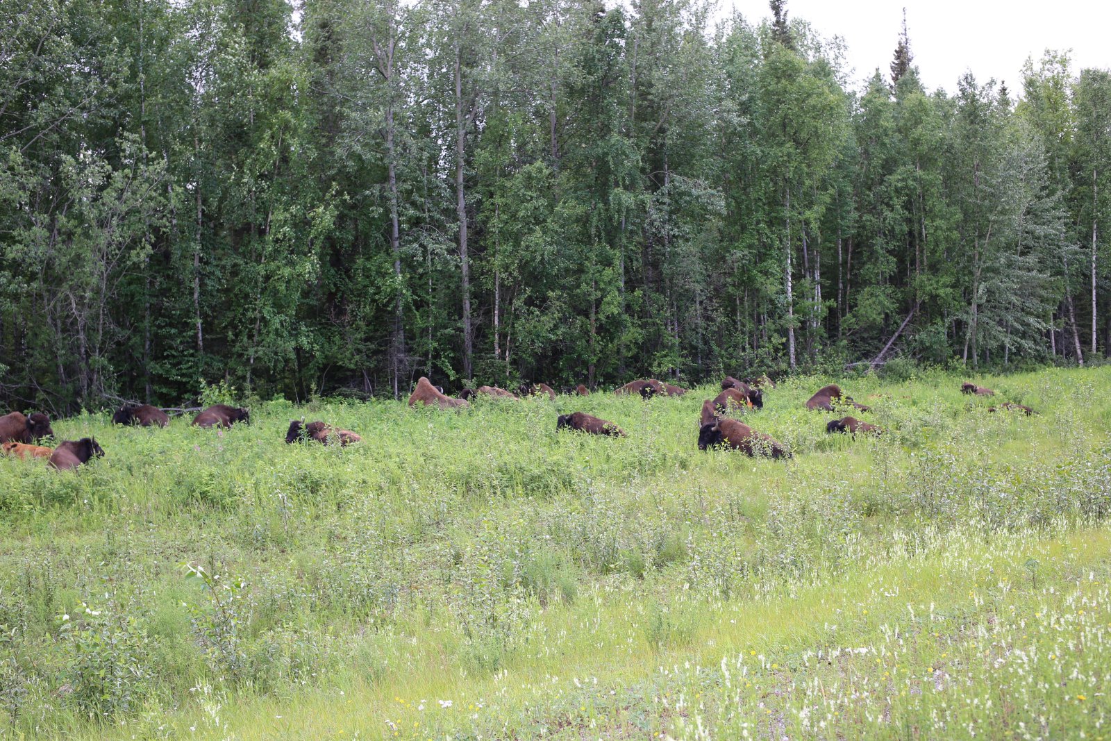
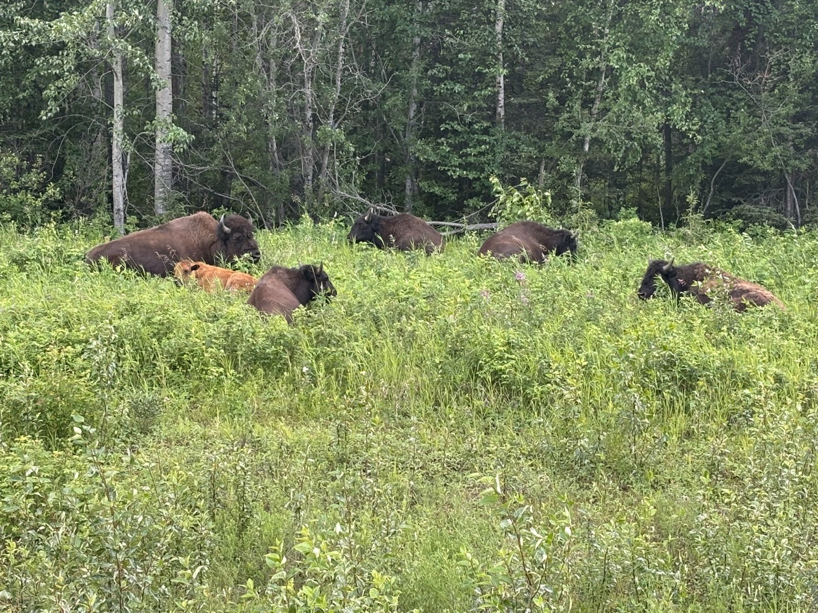
| Incredibly, we encountered a herd of Bison, moving down the shoulder of the highway. |
| |
 |
|
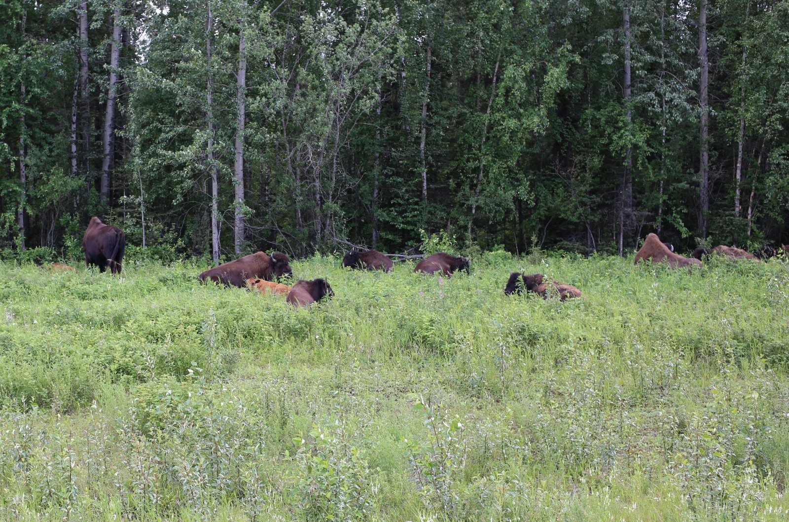
| There were male bison, female bison and baby bison. |
| |
 |
|
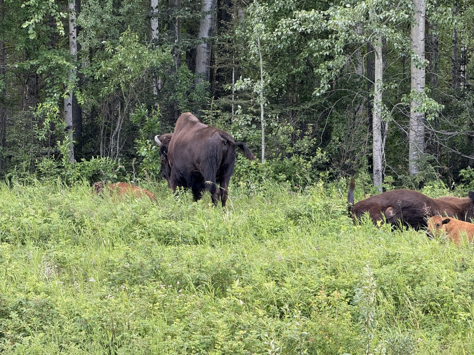
| T hat's a big one. |
| |
 |
|
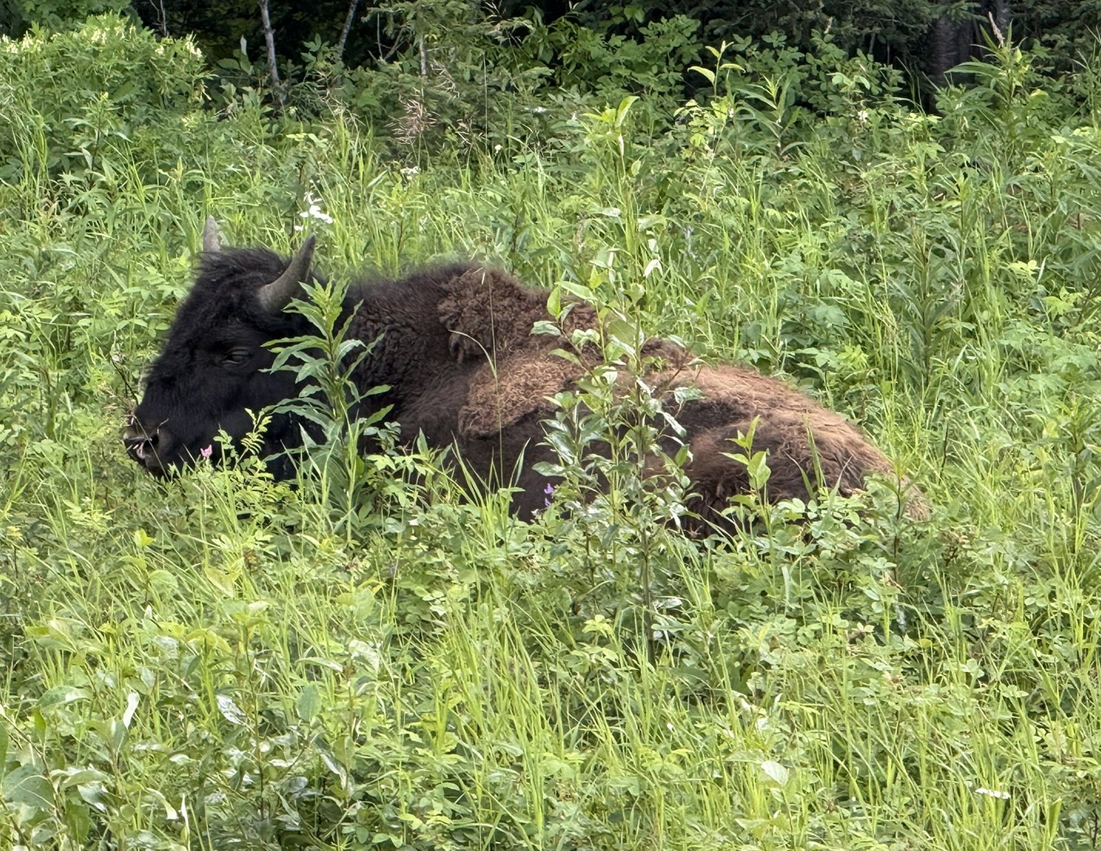
| This one is tired and taking a rest. |
| |
 |
|
| There's a baby bison at left with the orangish fur. |
| |
 |
|
|
Continuing on.
We passed through Watson Lake -- where we had stayed overnight coming up -- without even taking a picture. Nothing much there except the airport and the Signpost Village.
|
| |
 |
|
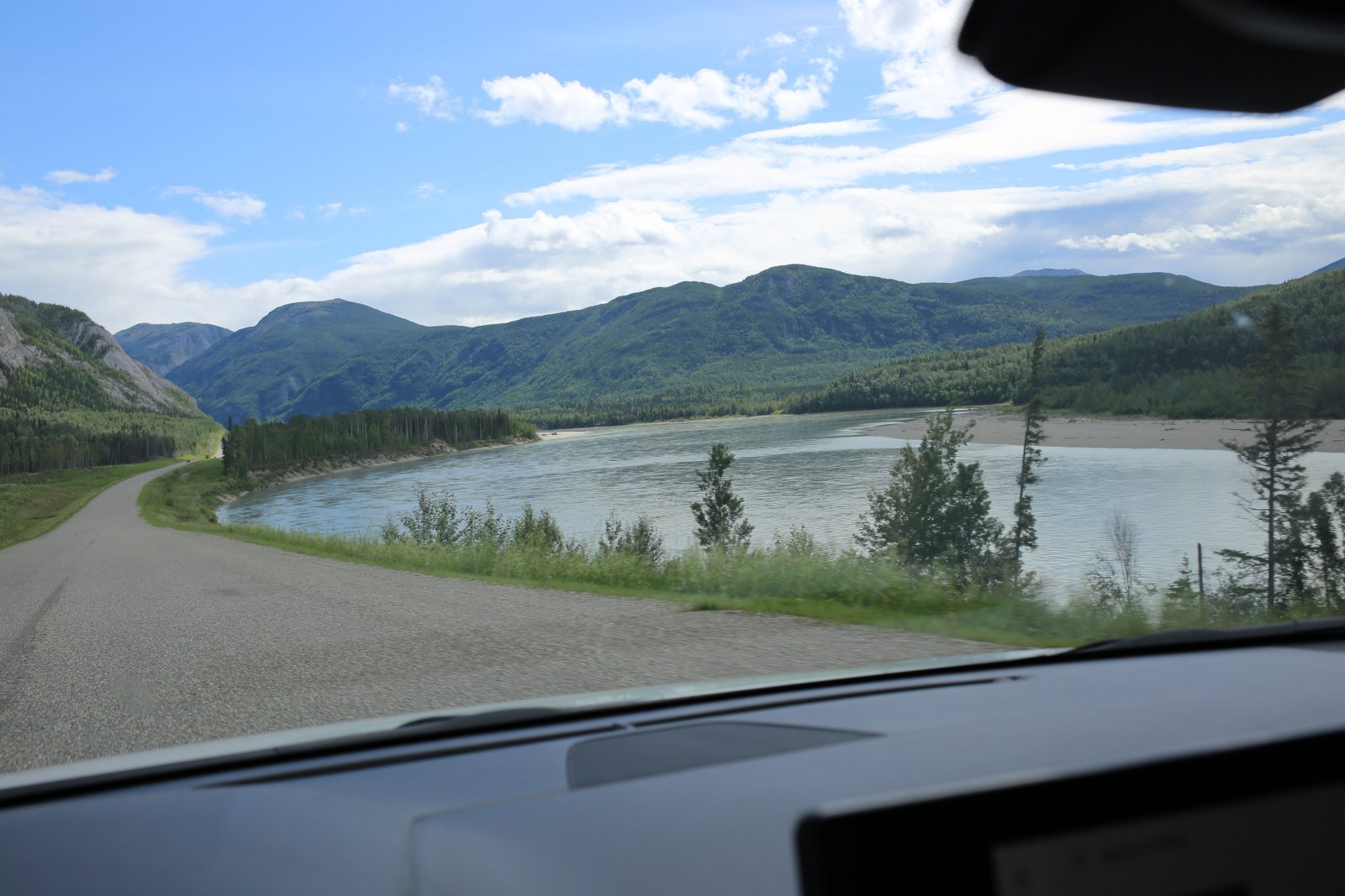
| Now running alongside the Laird River. |
| |
 |
|
|
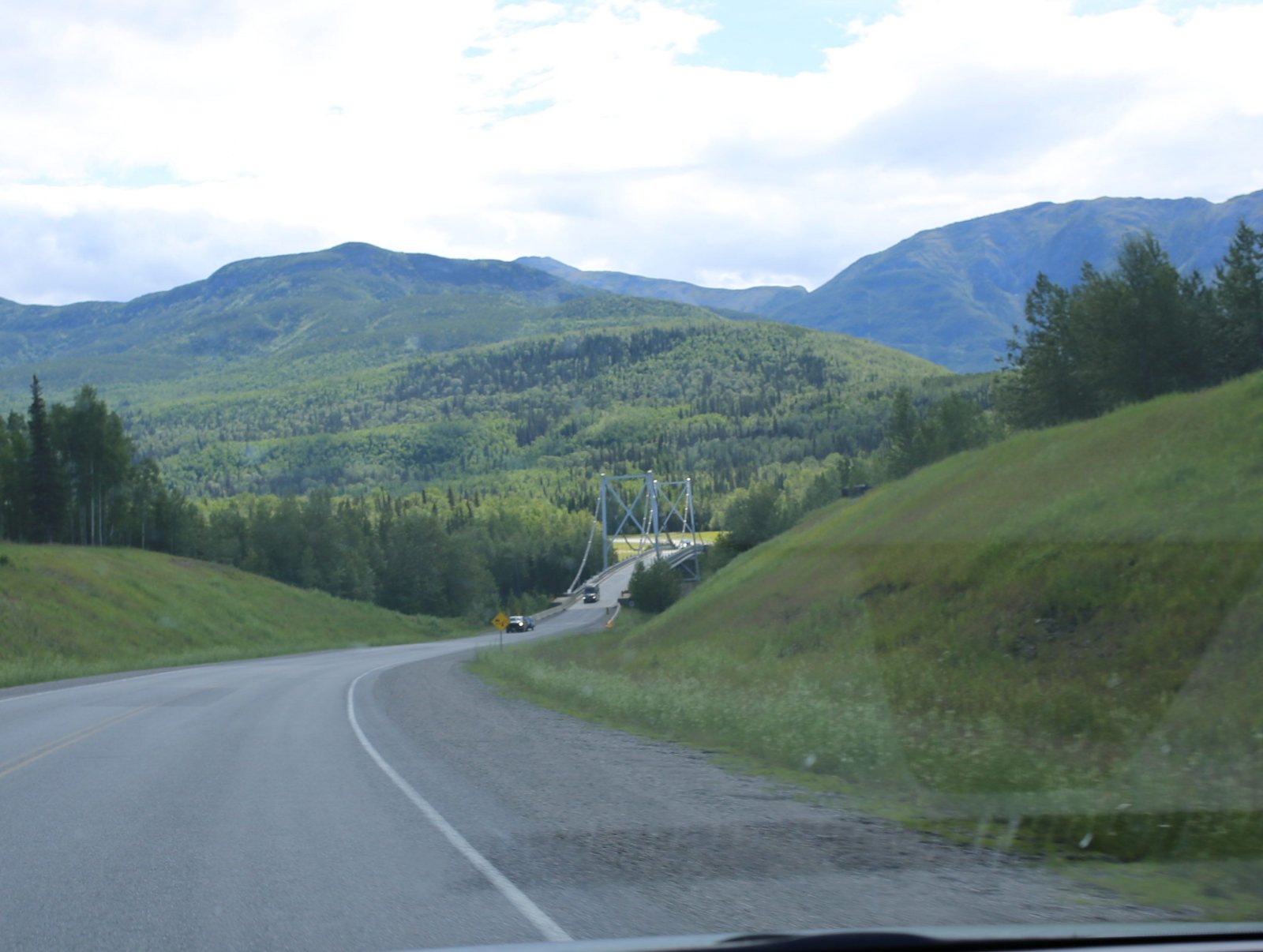
Approaching the historic Liard River Suspension Bridge, built in 1944.
|
| |
 |
|
|
Crossing the Liard River.
"Approaching kilometre 256.1 on the Alaska Highway, motorists are often amazed by the sight of the 94 feet tall Lower Liard River Bridge looming over the isolated northern British Columbia landscape. Imposing and gracefully symmetrical, the bridge has become a popular postcard and photographic subject.
Built in 1943, the 307 m long steel bridge is one of the six “special crossings” on the Alaska Highway, and the only suspension bridge on the route (the other suspension bridge, which spanned the Peace River, collapsed in 1957). The US Public Roads Administration (PRA) engineers decided that a suspension bridge had to be built at this point because ice conditions made it impossible to keep the necessary temporary scaffolding in place long enough to build the PRA’s usual type of bridge – a standardized truss span design.
The Lower Liard River Bridge is also unique because much of the materials used to build it came from steel salvaged from the historic Tacoma Narrows Bridge. (This bridge became famous when it collapsed in 1940 due to faulty engineering that fatally intensified the bridge’s normal sway.) Using salvaged material for steel structures was common during wartime as a way to overcome shortages and reduce costs.
Out of the 25 bridges maintained on the Canadian section of the Alaska Highway, the Lower Liard River Bridge is a widely recognized landmark in an already historic cultural landscape through which Indigenous peoples, fur traders and geological survey explorers had long ago travelled."
|
| |
 |
|
|
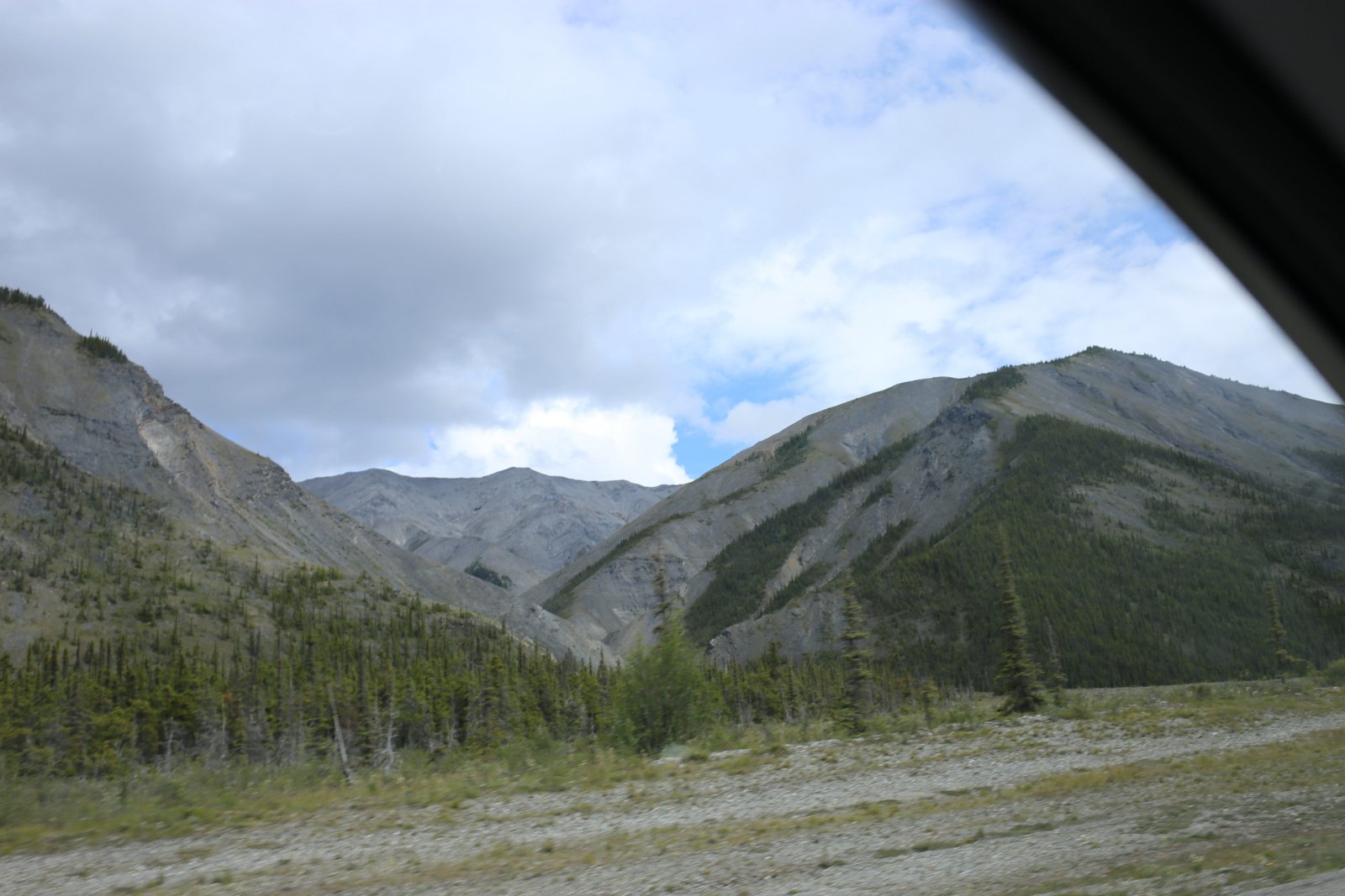
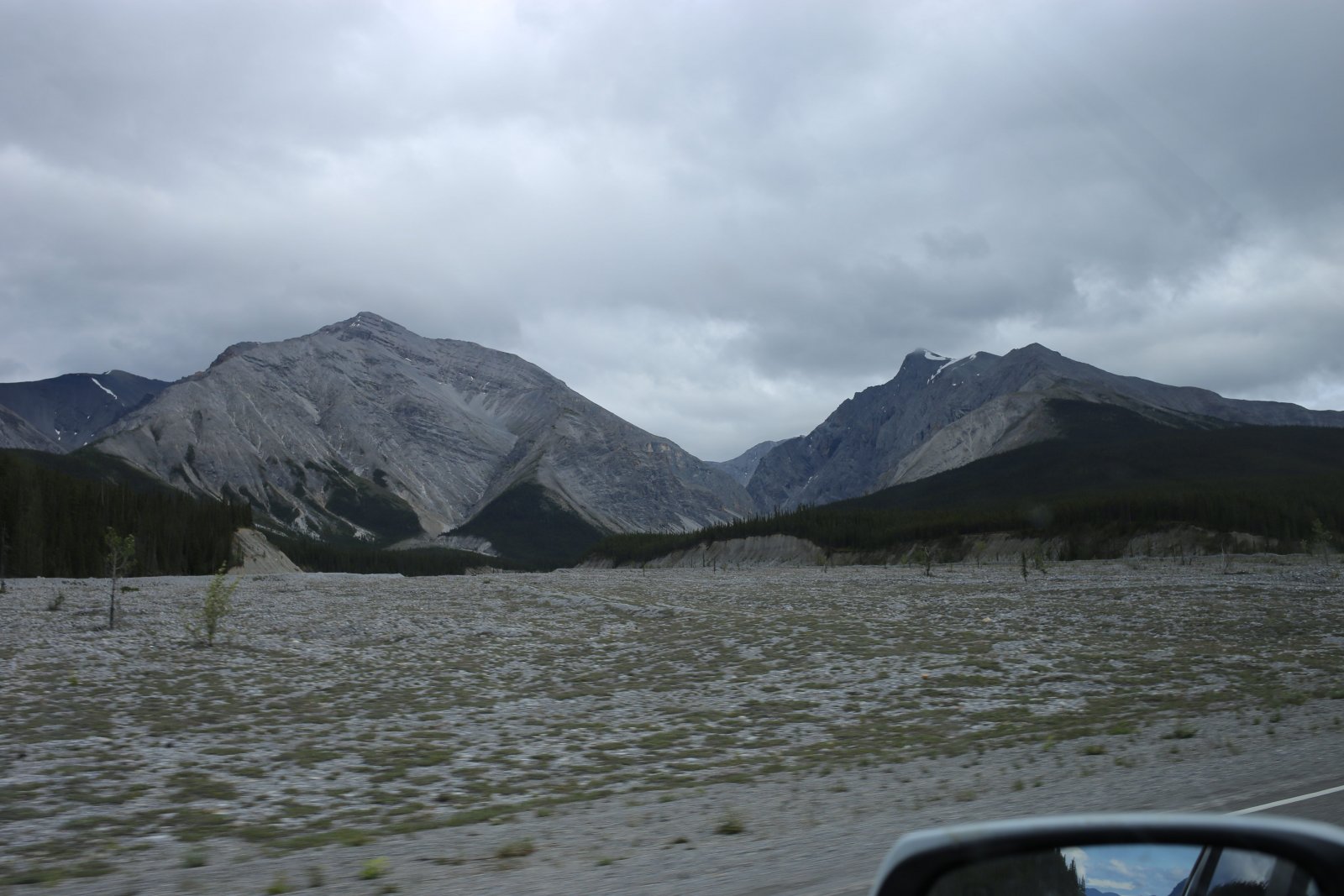
The gray mountains of the Sentinal Range appear to the east.
|
| |
 |
|
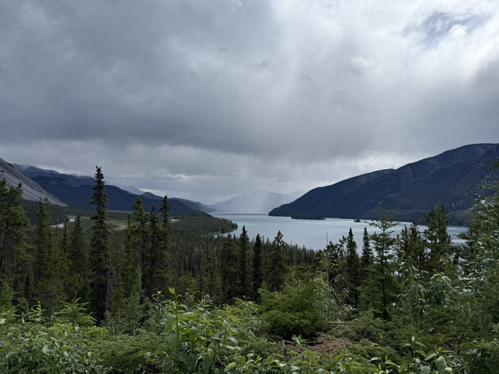
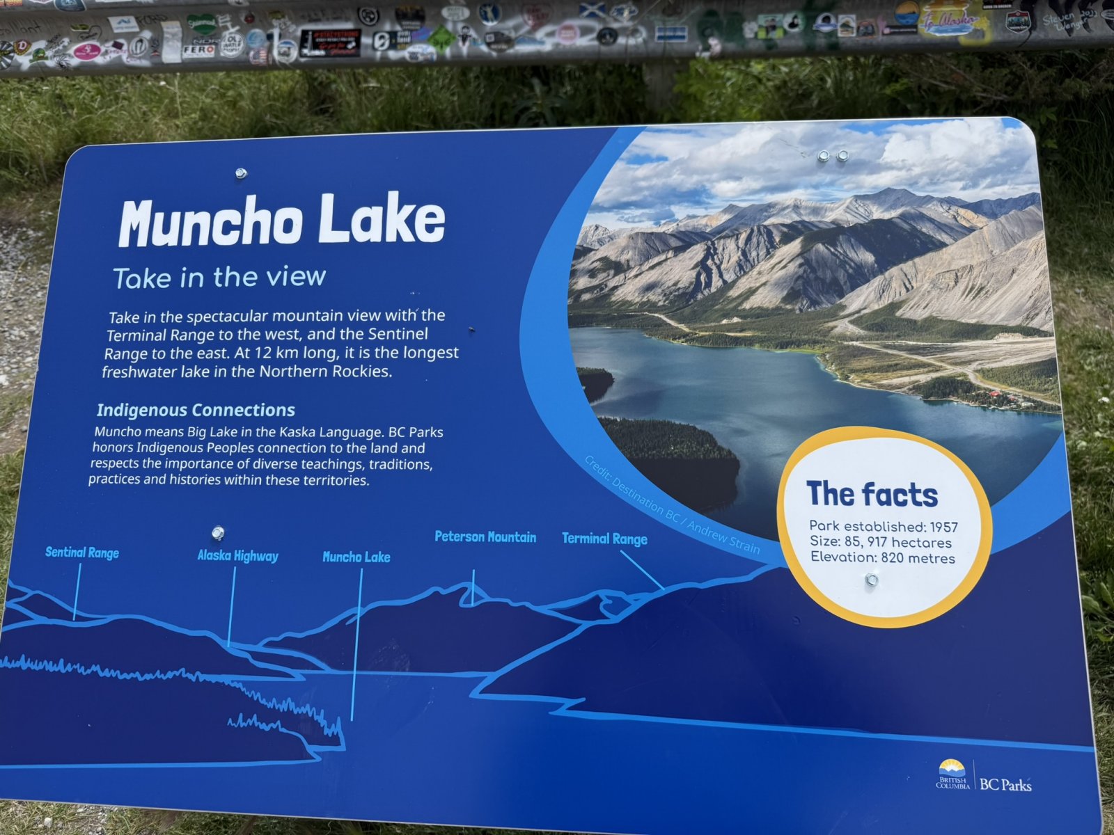
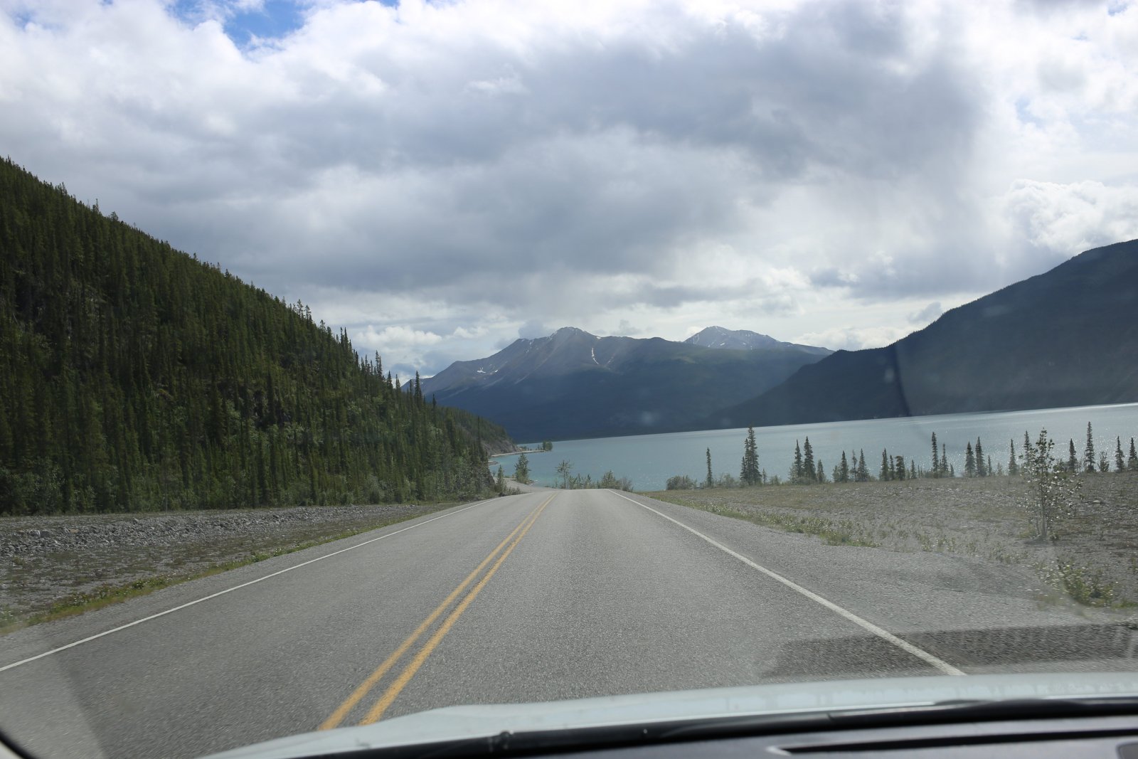
| And Muncho Lake comes into view. |
| |
 |
|
|
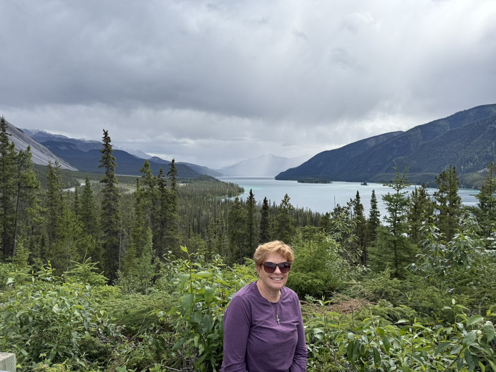
We park to check out the spectacular view.
|
| |
 |
|
| |
| |
 |
|
|
|
| |
 |
|
| East of Muncho Lake runs the Sentinal Range with it's distinctive tree-less (mostly) mountains. |
| |
 |
|
|
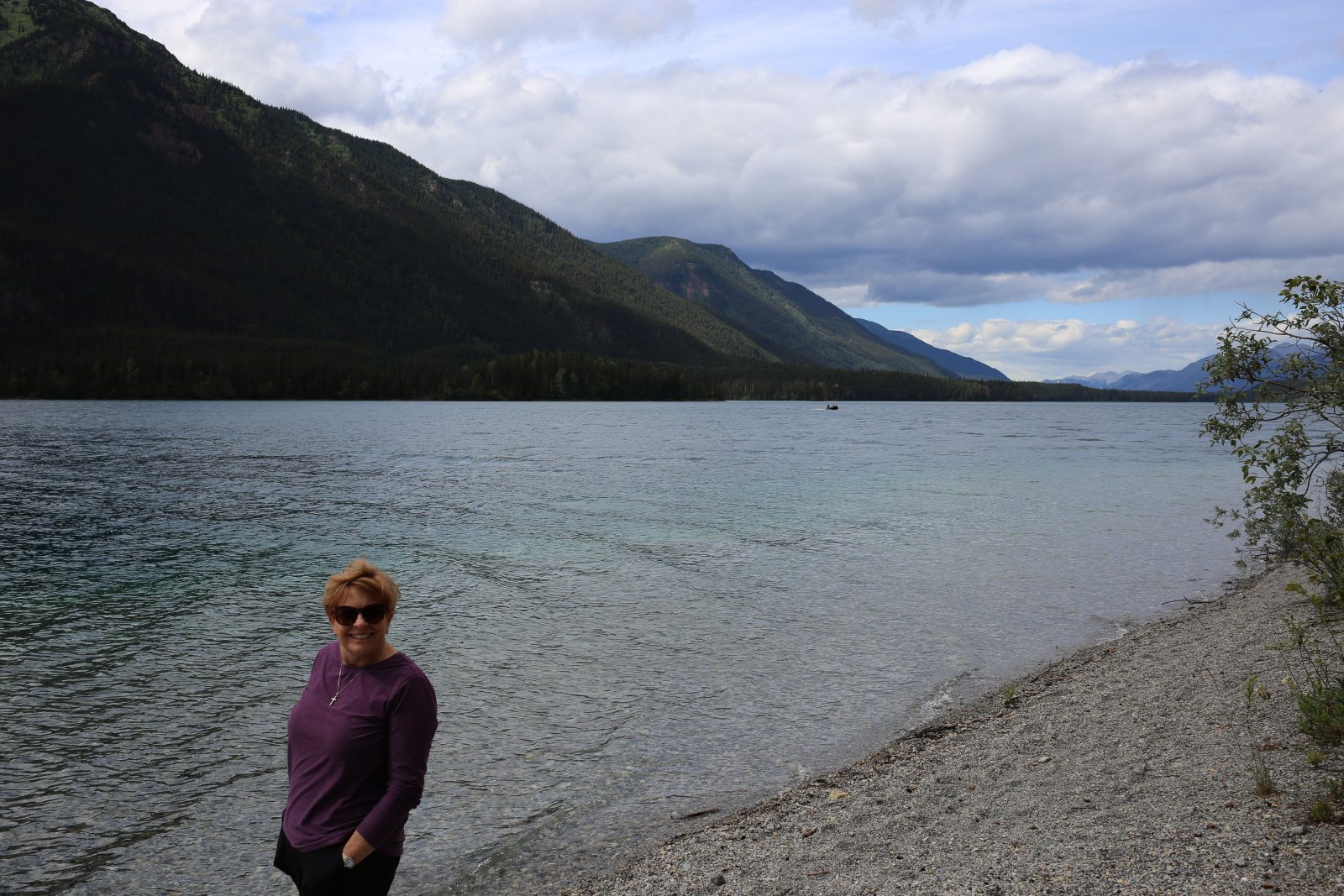
Further down the road we stopped at a little picnic area down by Muncho Lake. Here, looking east.
|
| |
 |
|
| And looking west out over the lake. Lynnette is deciding whether or not she wants to go swimming. In the end she decided not to. |
| |
 |
|
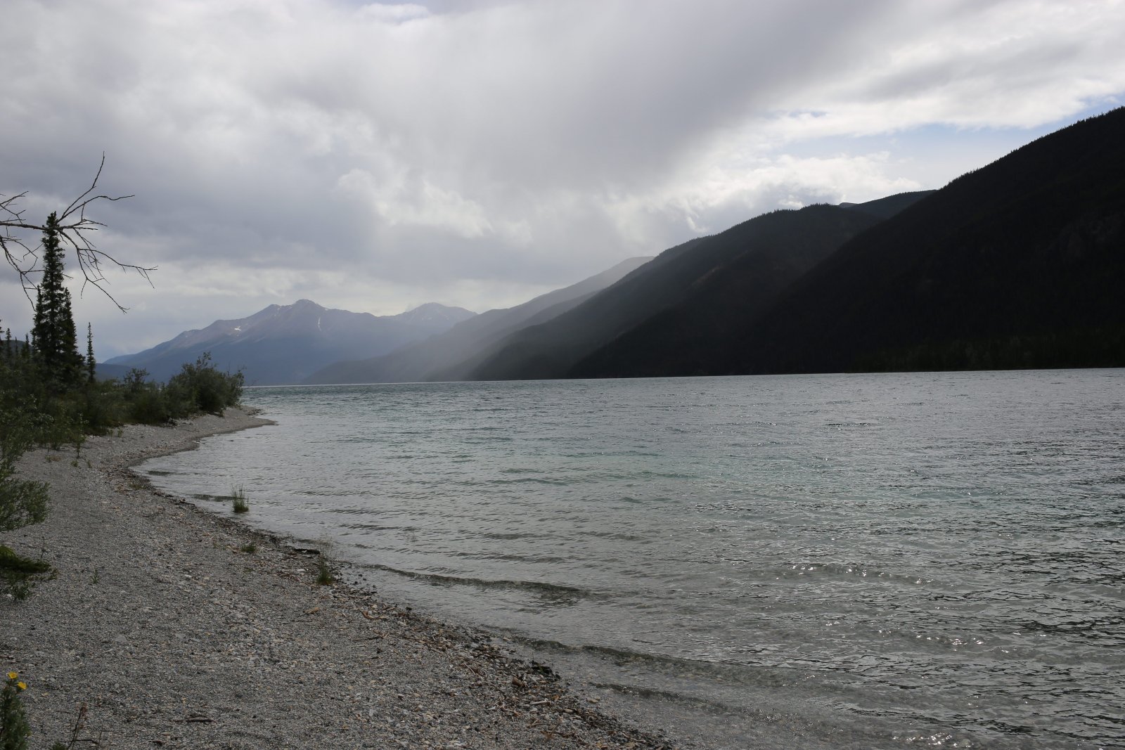
| Looking southwest. |
| |
 |
|
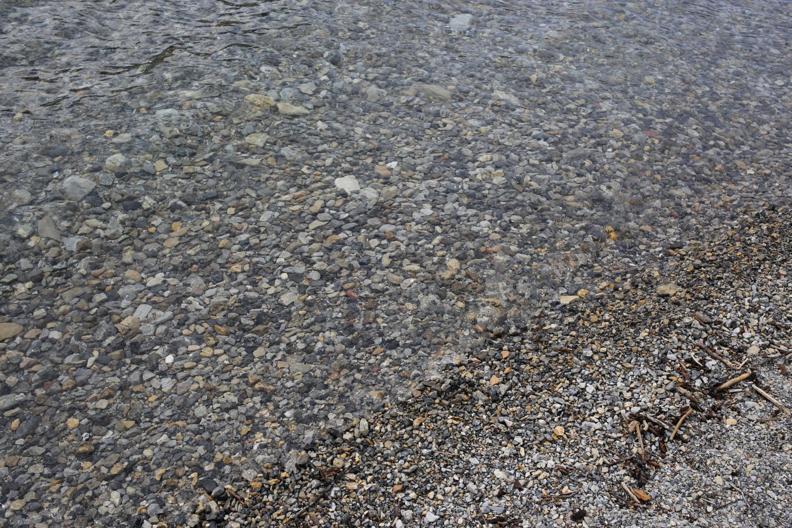
| The lake was crystal clear. |
| |
 |
|
|
|
| |
 |
|
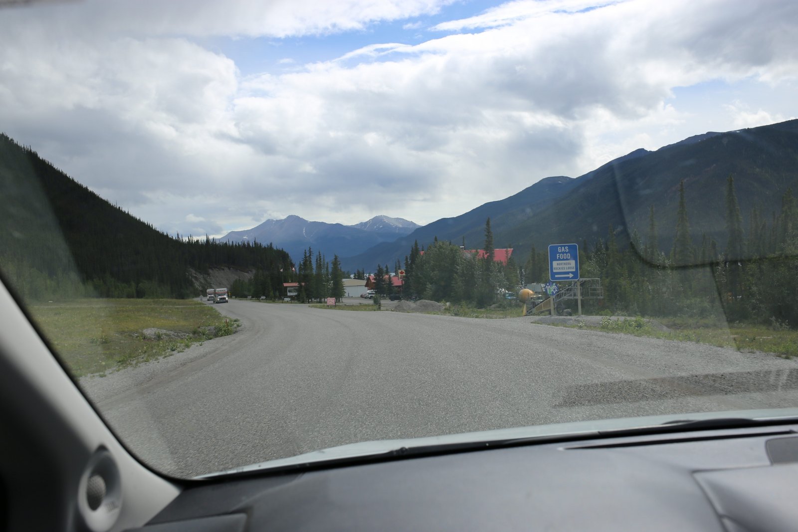
| A short distance further on, we pass by the Northern Rockies Lodge, a log-cabin style hotel with cabins and an RV park, plus restaurant and gas pumps, on the shore of Muncho Lake. It looks like it would be a nice overnight stop. |
| |
 |
|
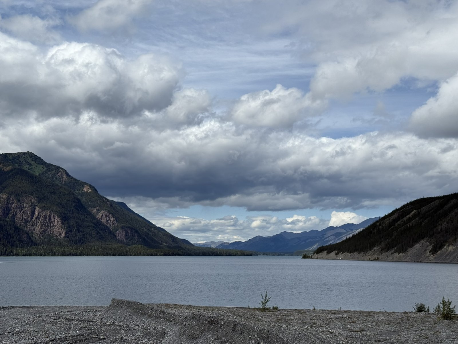
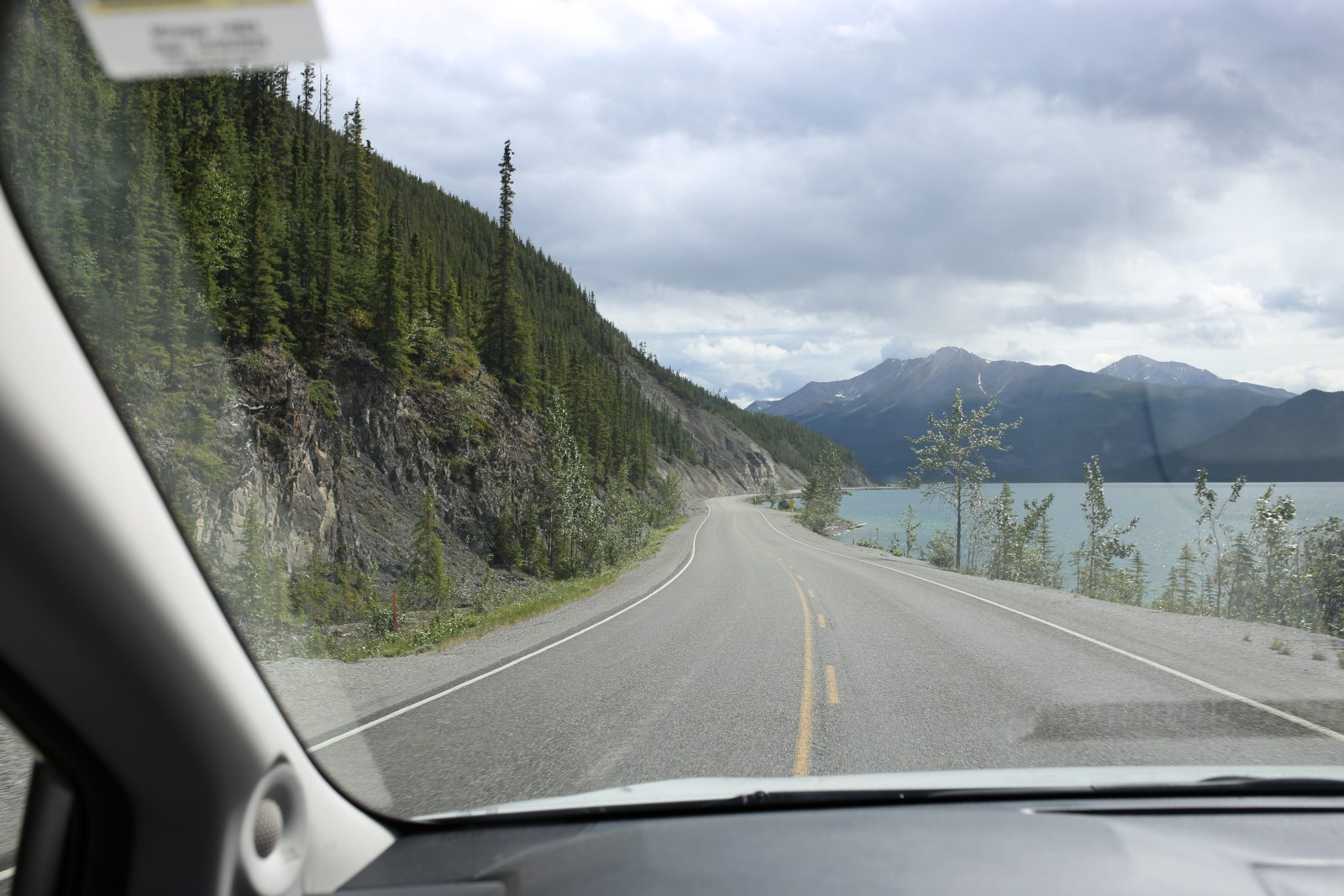
| Continuing on down Muncho Lake. |
| |
 |
|
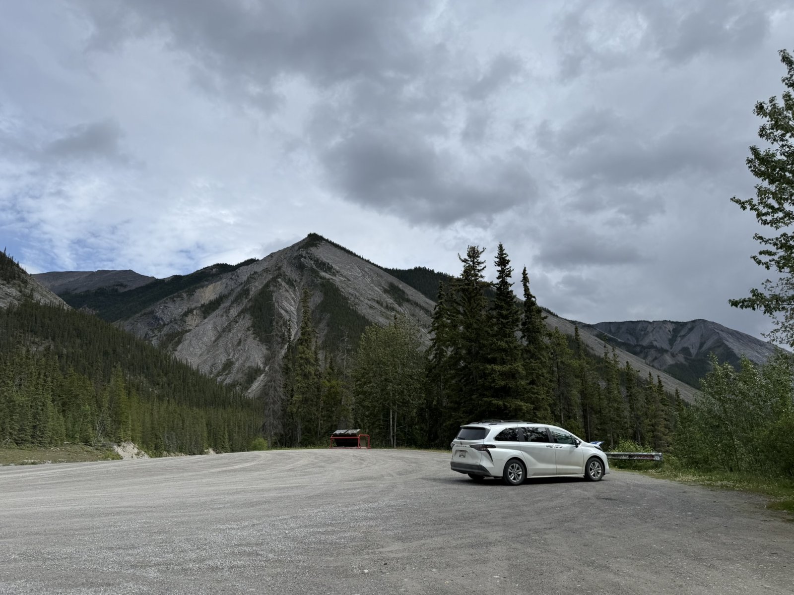
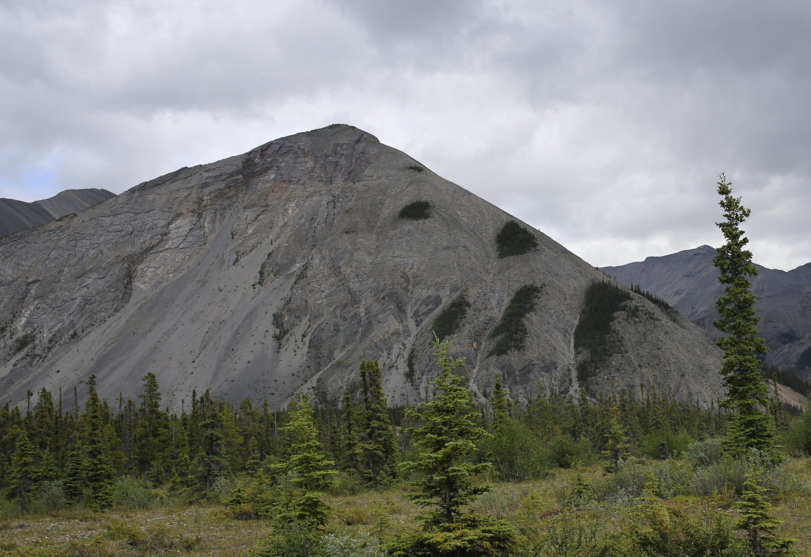
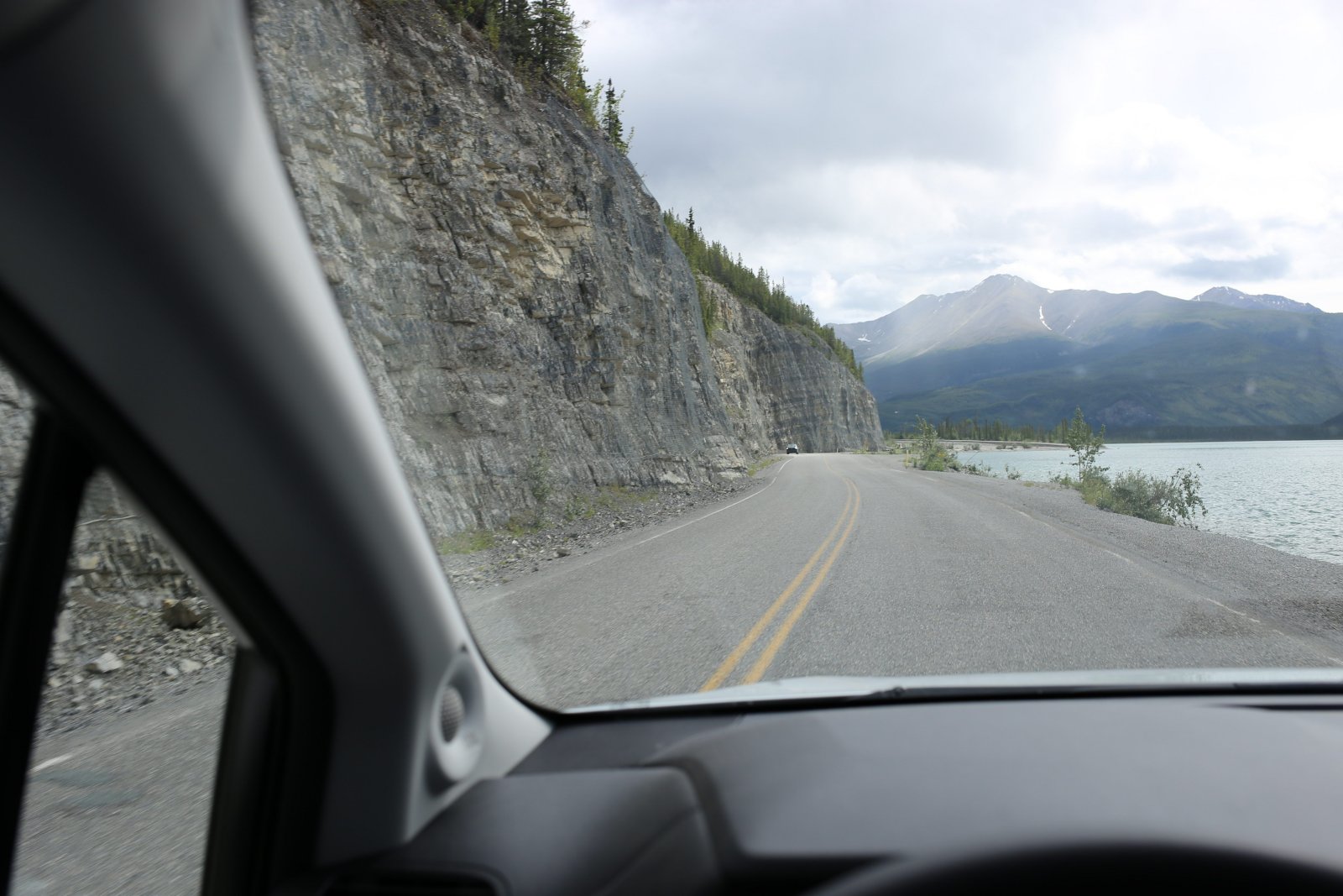
| I was interested in the southeast part of the lake because this is where the Army Corps of Engineers had so much trouble when initially building the Alaska Highway back in 1942. The mountain came right down to Muncho Lake. They ended up having to dynamite the mountain to create a flat spot for the road. |
| |
 |
|
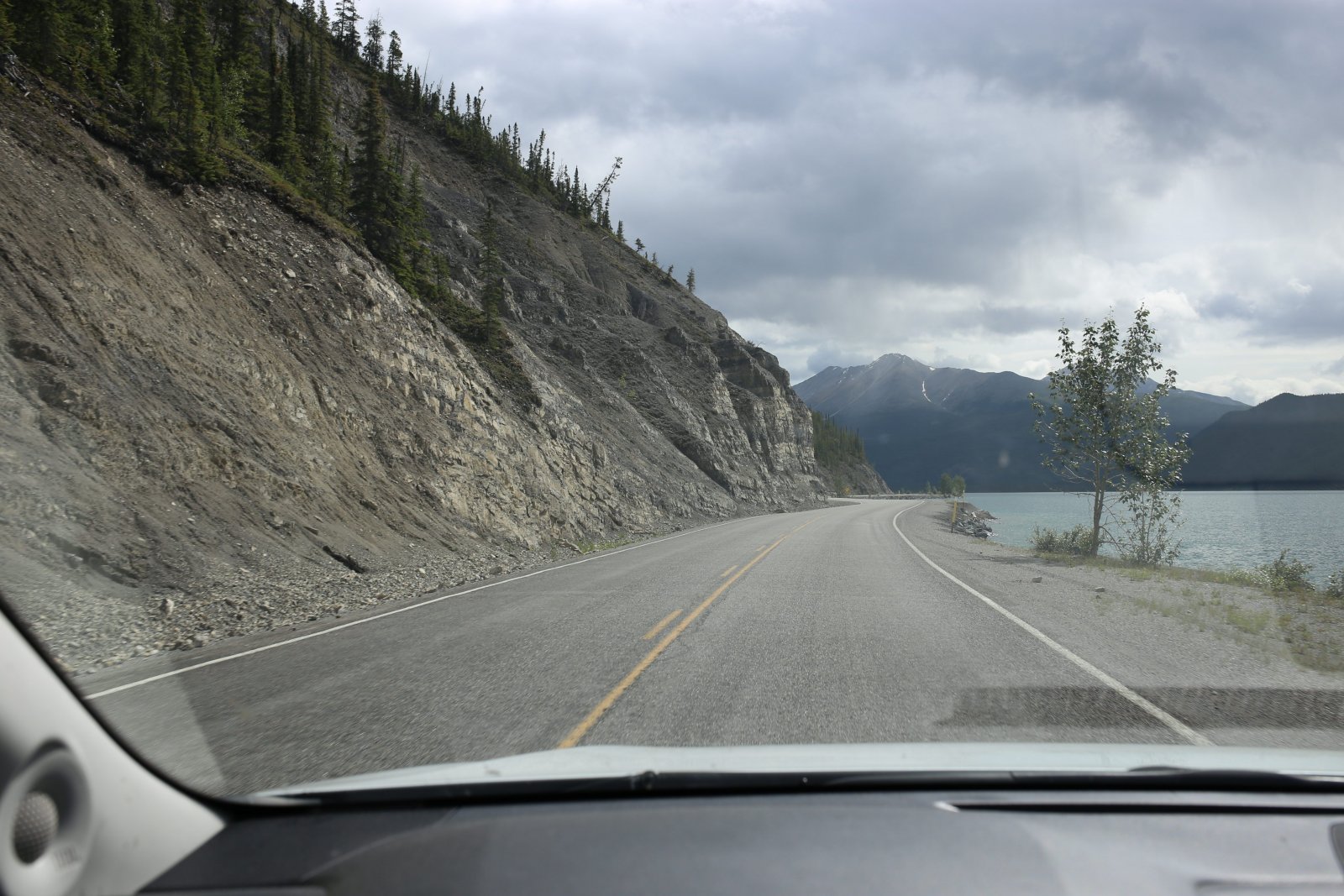
| Yes, it looks like a portion of the mountain had to be "removed". |
| |
 |
|
|
Especially here.
|
| |
 |
|
| Then it becomes flat to the east. |
| |
 |
|
|
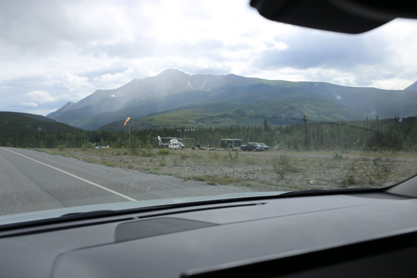
Passing a helicopter operation on the right.
|
| |
 |
|
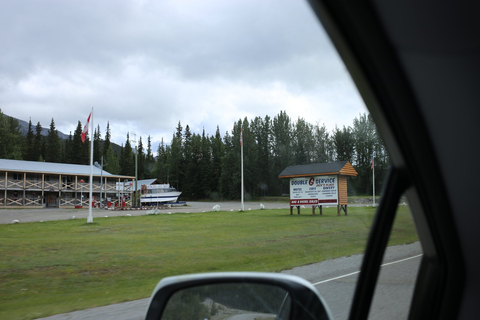
| At the south end of Muncho Lake is the Double G Service motel and cafe, not as upscale as the Northern Rockies Lodge. |
| |
 |
|
| Still heading south until we clear the Sentinal Range, then we turn east. |
| |
 |
|
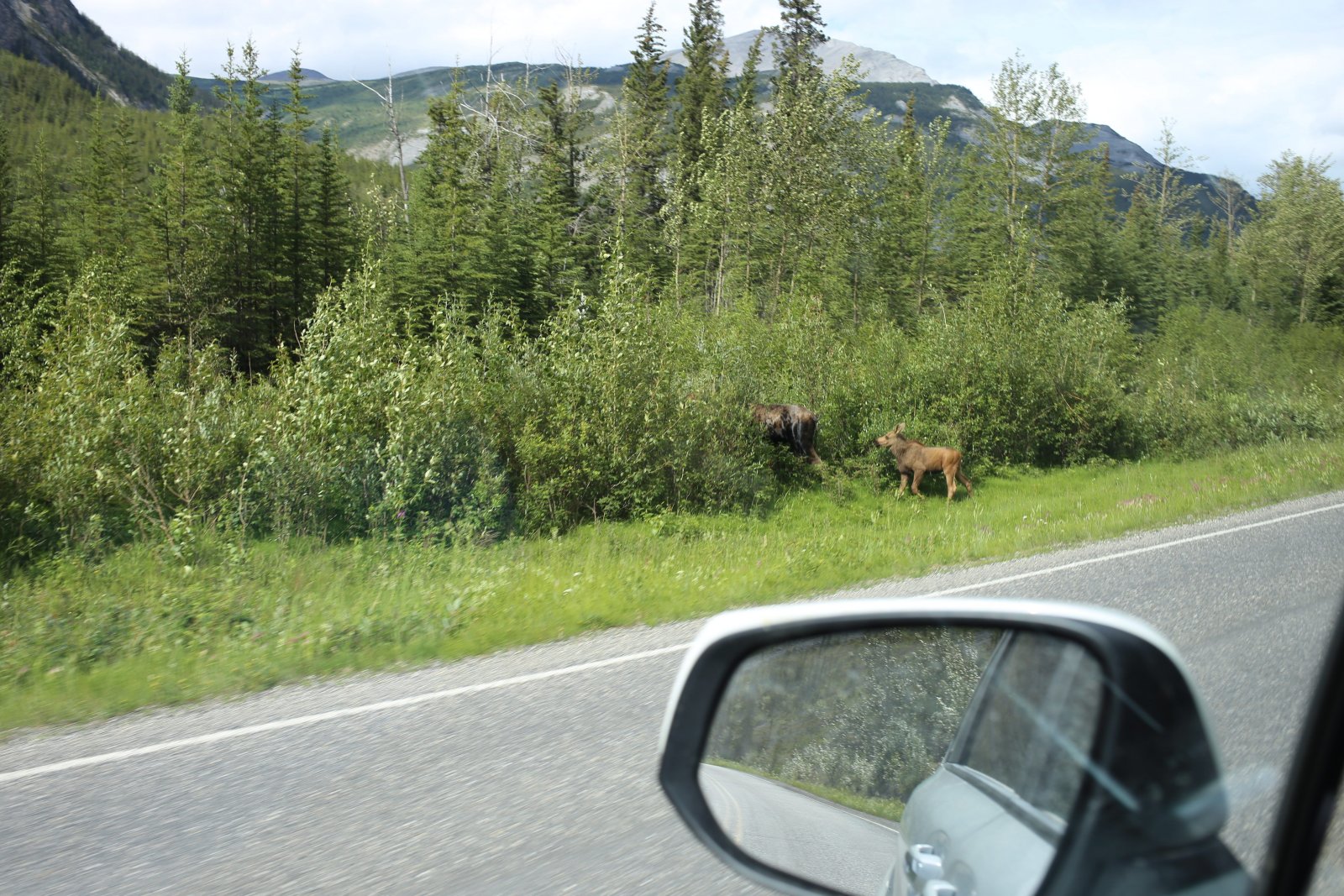
| Now heading due east, we pass a mother and baby Moose. |
| |
 |
|
|
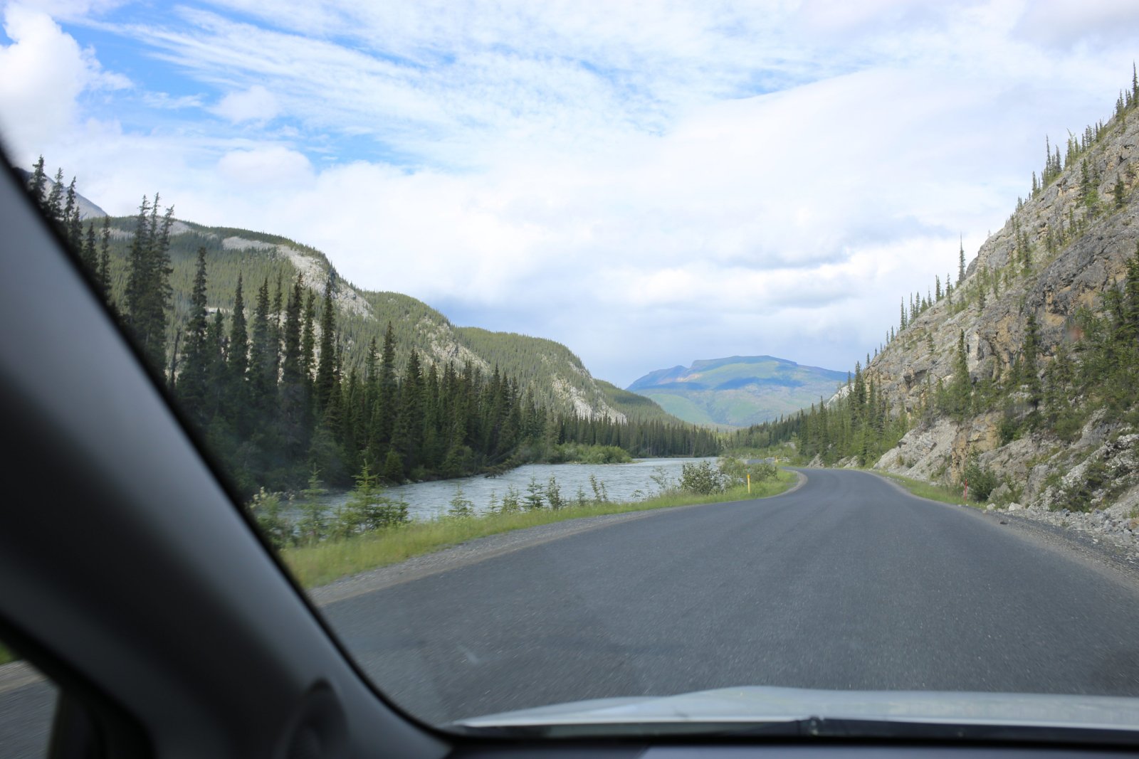
Now we're heading east along the Toad River.
|
| |
 |
|
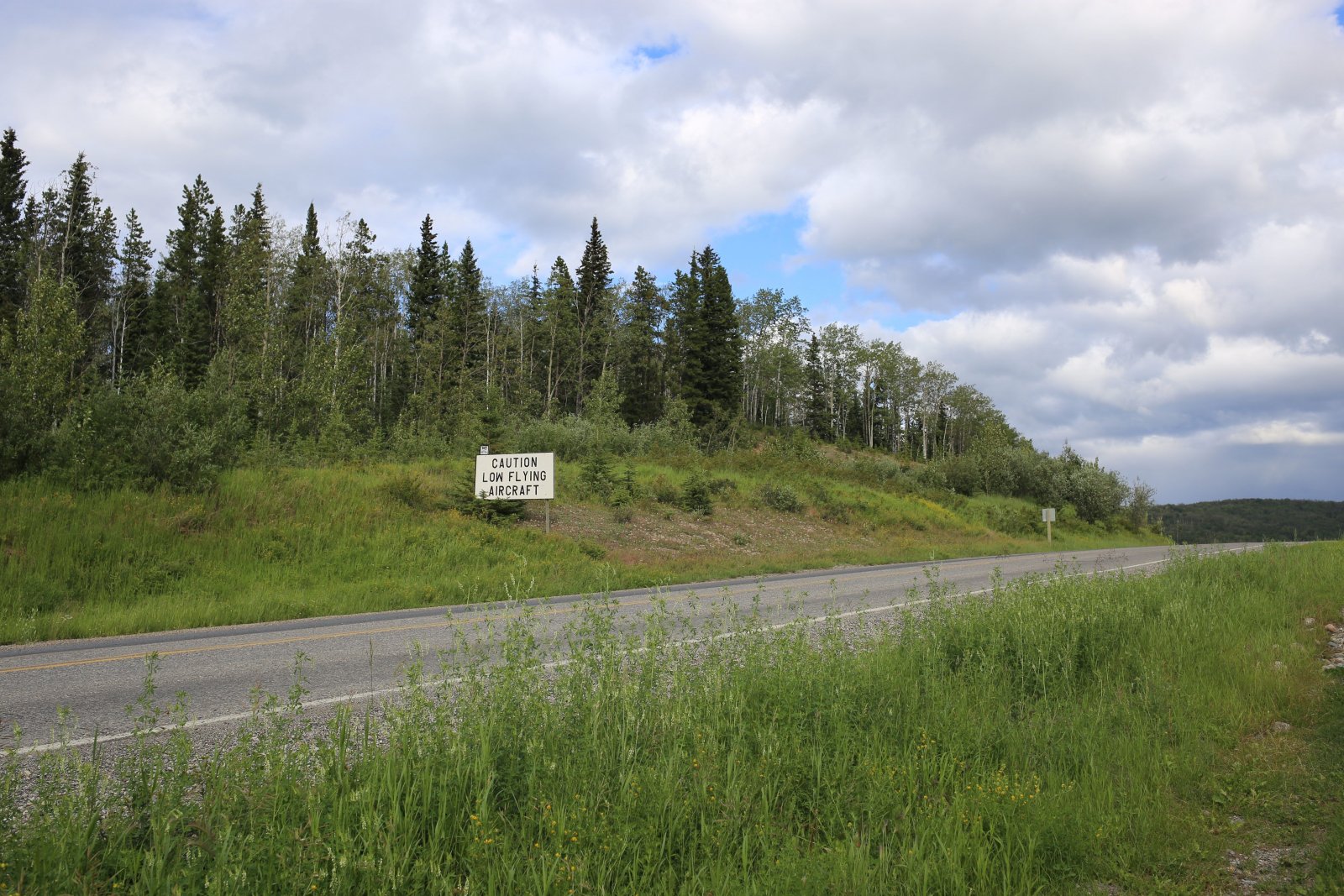
| I know we're almost to the Toad River Resort because I see this warning sign for low flying aircraft. The Toad River Resort has its own turf airstrip. |
| |
 |
|
|
There's the runway on the left.
|
| |
 |
|
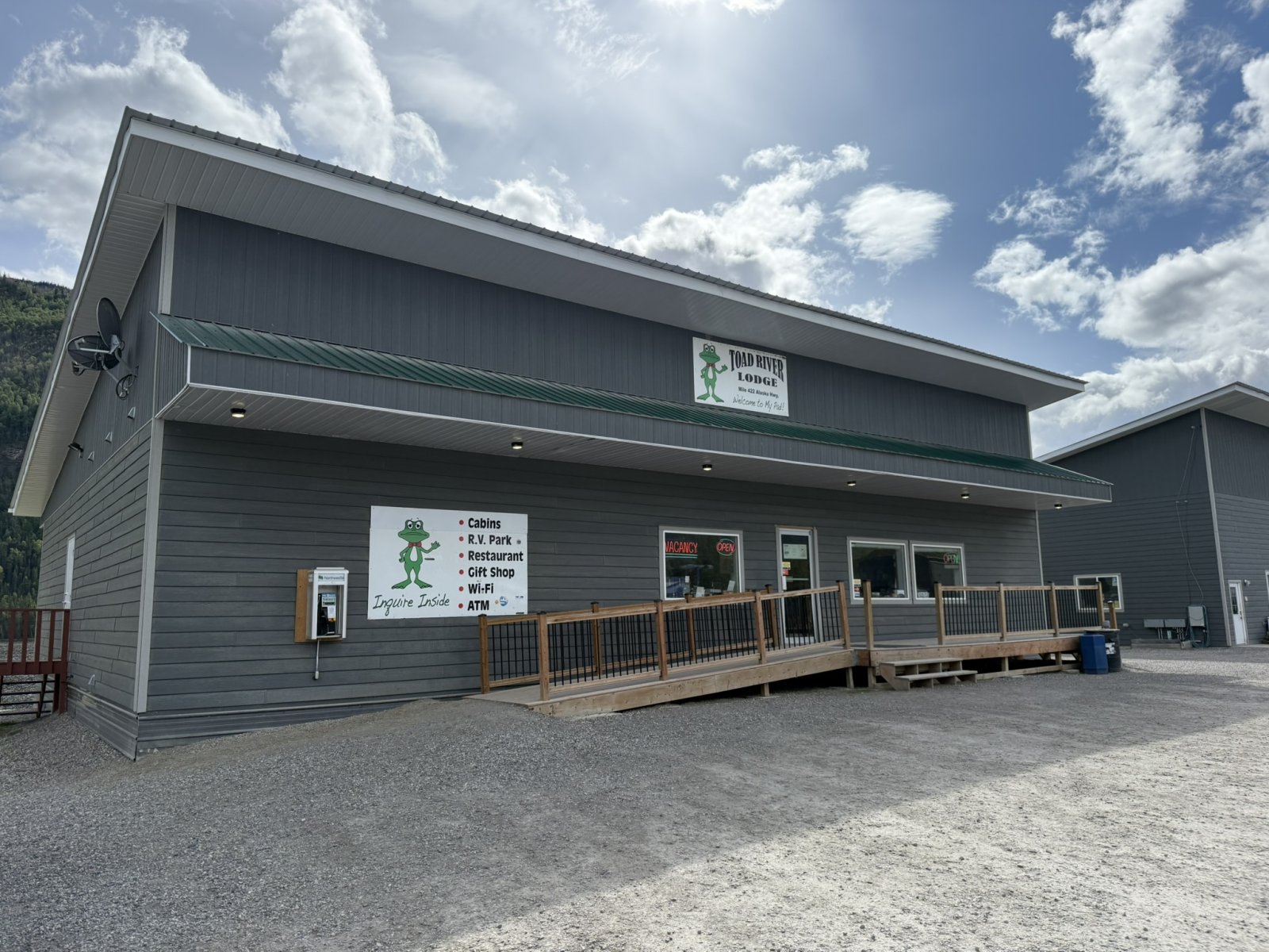
| And we're here at the Toad River Lodge! This place has everything: cabins, RV park, restaurant, gift shop, and airstrip. We're spending the night here. |
| |
 |
|
| |
| |
|
|
|
|
|
|