Preparations for Flying to Canada and Alaska
I did a lot of studying and planning for my flight to Canada and Alaska. There is so much information it can be overwhelming. The most valuable resource for me by far was Ted Waltman's webpage: Fly Your Plane to Alaska. Ted has made seven trips in the last eight years! I also have been to numerous Flying to Alaska seminars at AirVenture over the years. What follows is just my two cents to add to what has already been written.
When to go? I went in August and was surprised that the weather was not that good. For every bright and sunny day, there were four days of light rain and low overcast. I would not go again in August. I'll try June or July next time.
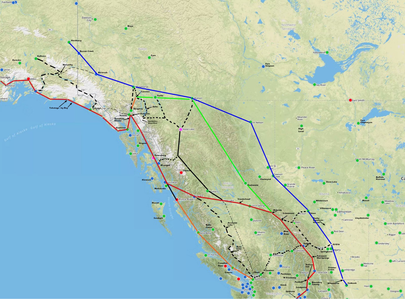
There are three main routes illustrated in Ted's excellent map below: Alcan Highway (blue line), The Trench (green line), the Coastal Route (red line). The general concensus seemed to be that newbies should fly the Alcan highway on their first trip. So that's what I did and I'm glad I did. The Alcan highway starts at Dawson Creek. It's like an endless runway stretching out in front of you. On either side, nothing but wilderness. On this route, you fly parallel to the east side of the Canadian Rockies; you really don't get into the mountains until west of Fort Nelson.
I'd heard how beautiful The Trench is, so I flew that route on the way home. It starts at Watson Lake and ends at Mackenzie. It's 352 nm of mostly wilderness. There are a couple of runways with no fuel available near the south end. Most of the way, gravel bars on the river would be your only chance for a forced landing. The Trench was pretty, but not as scenic as I thought it would be. After Mackenzie, I flew southwest through the Canadian Rockies finally exiting the mountains near Lethbridge. I enjoyed flying the VFR routes through the Canadian Rockies as much anything I flew the entire trip. (Well, except for Knik Glacier and Denali)
If I ever fly to Alaska again, I'd like to try the Coastal Route. It's said to be very beautiful and since you never land in Canada, you don't have to worry about clearing customs. That said, the coast is pretty rugged; not too many places for a forced landing. You have to do your homework before flying into places like Juneau and Ketchikan.
Where to cross the border and clear customs is another big decision. For various reasons I didn't really want to fly across Canada and I didn't want to go into the U.S. Rockies -- been there, done that -- so I decided to cross the border in western Canada. I liked the idea of crossing at one of the border airstrips -- where the grass strip runs east-west and straddles the border. So I decided to cross at Whetstone/Del Bonita airstrip.
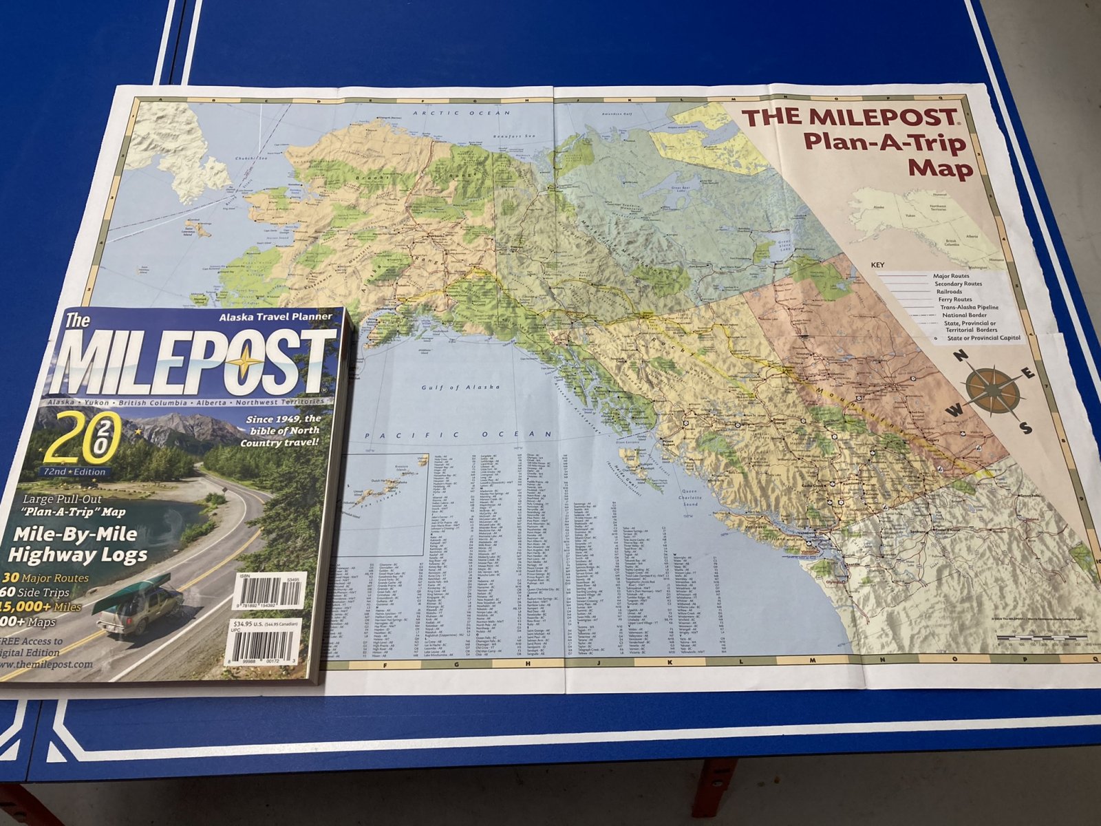
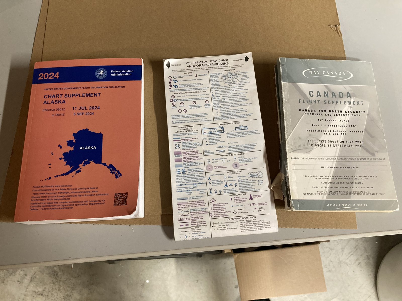
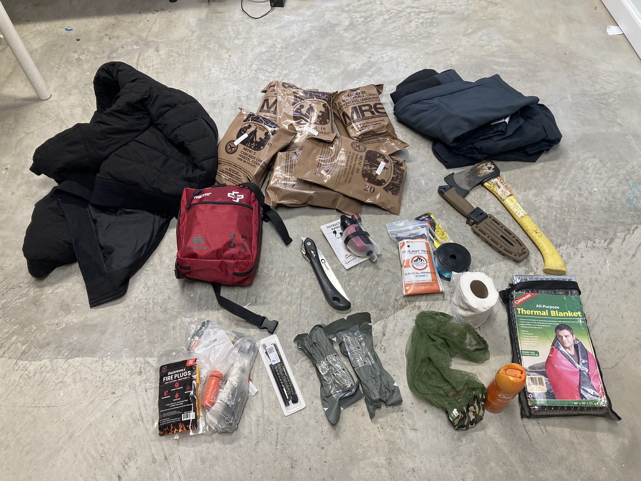
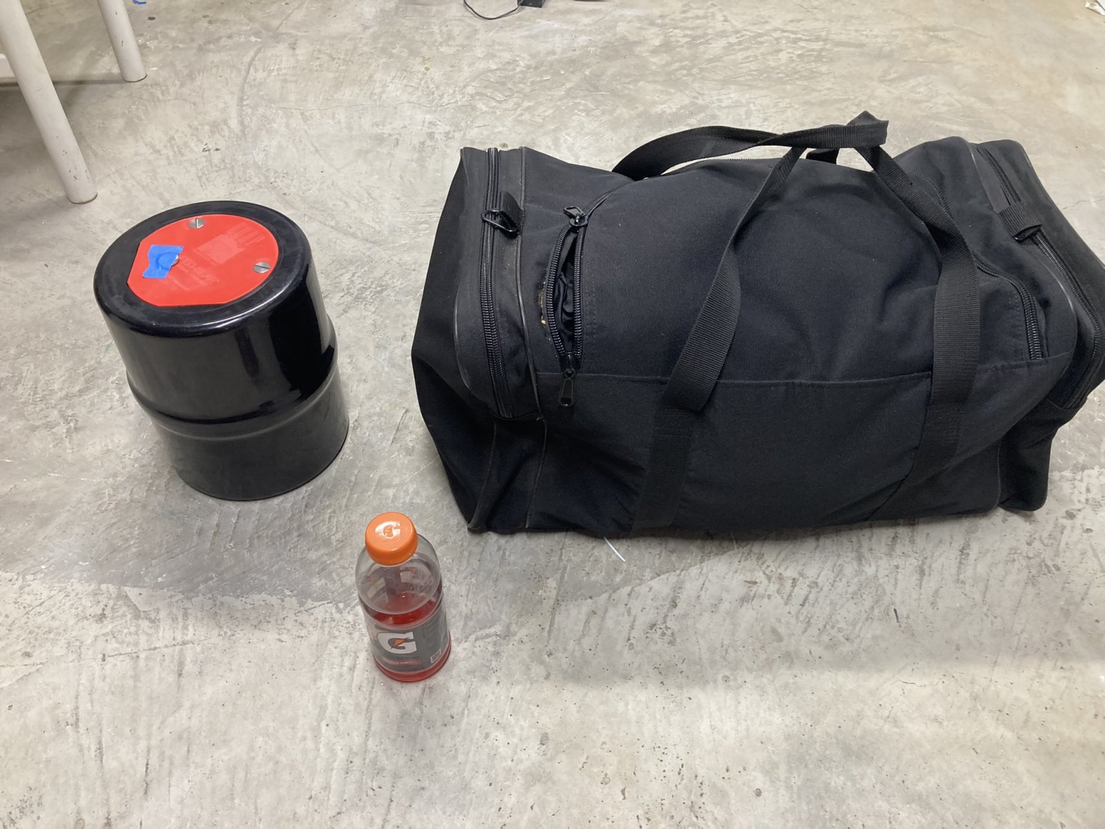
You are required to carry emergency survival equipment when flying in Alaska. The list is here: Link. I carried all my stuff in a duffel bag which I kept strapped down in the passenger seat. The list includes a first aid kit, seven days of food, hatchet, knife, fishing equipment, mosquito head net, fire starting equipment, flares, signal mirror, mosquito repellant, a folding saw. To that I added a few other things: winter coat, rain suit, thermal blanket. I went with seven MREs, which I was surprised to find were heavy and bulky.
All in all, I felt confident that if I survived a forced landing, I had what I needed to survive for a few days without being totally miserable. Just slightly miserable.
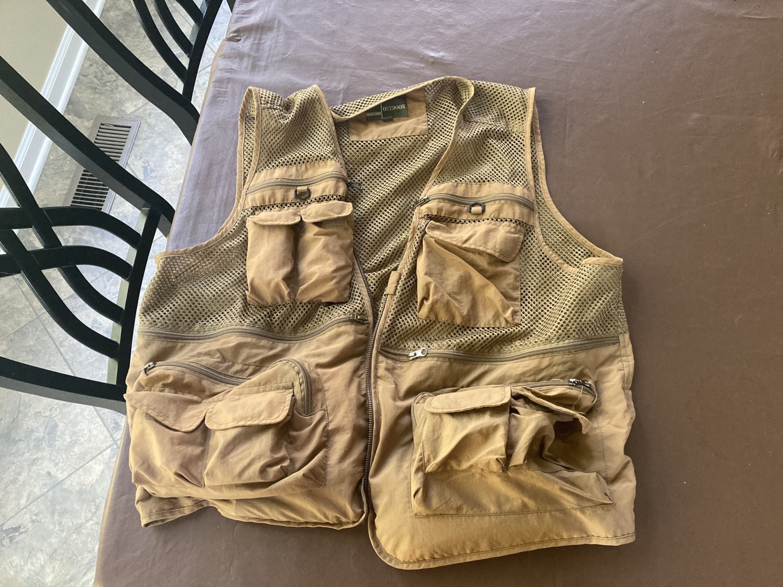
In addition, in my survival vest which I wore while flying, I carried a hand-held radio, a 406-satellite personal locator beacon, a compass, whistle, fire-starter, space blanket, pocket knife, rope.
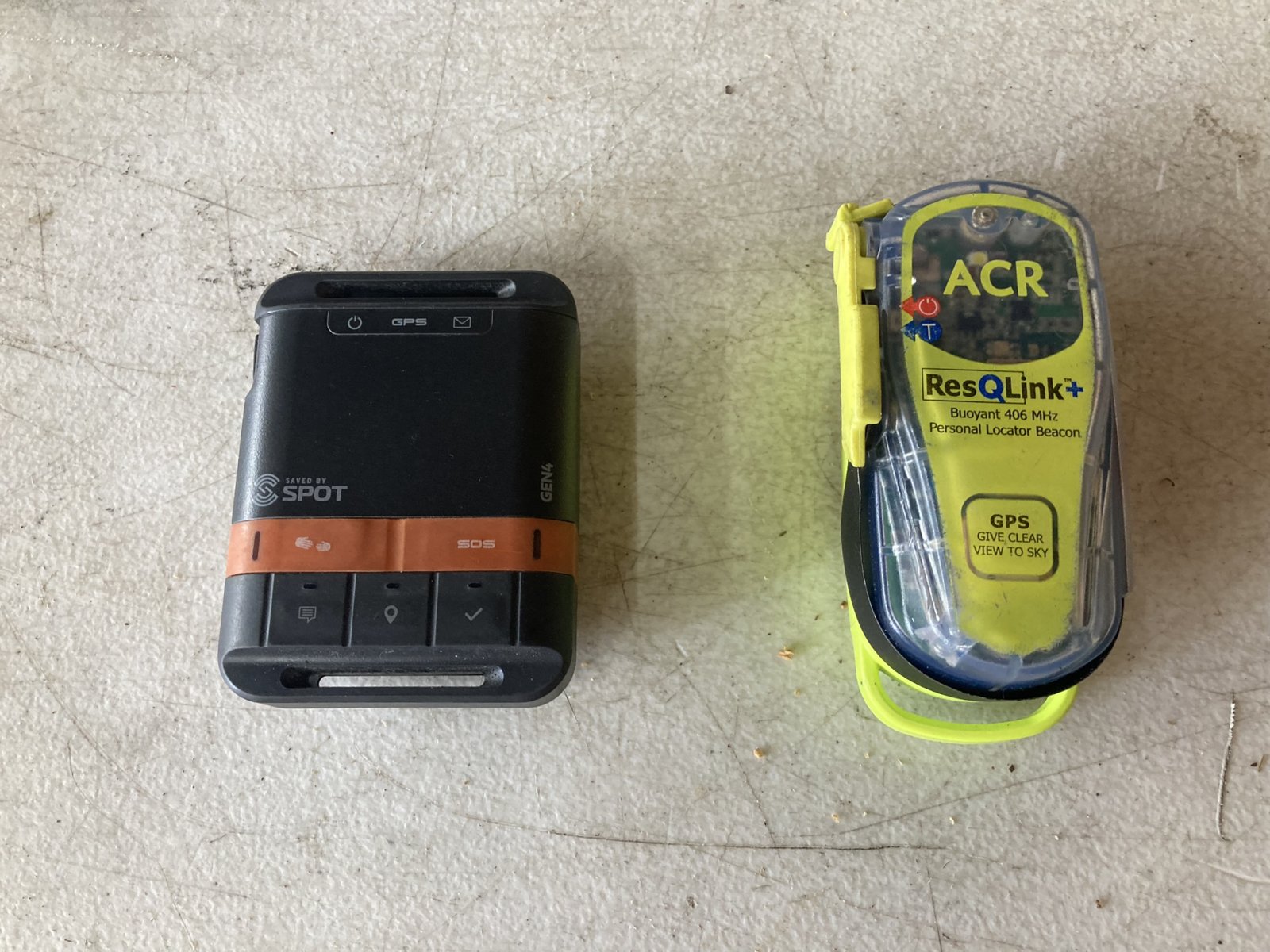
Longtime readers know I've flown with a SPOT breadcrumb tracker for as long as I've flown the RV-7. I also carry a Personal Locator Beacon in my survival vest. I feel confident that if I have to make a forced landing somewhere, rescuers will know very quickly that I'm in trouble and exactly where I am.
I can't say enough about Foreflight, which I run on my iPad mounted on the panel's left side. I also use the Foreflight Sentry which supplies the GPS information to the iPad as well as ADS-B In weather and traffic information. I bought the Canada subscription which gave me all the Canadian charts plus the Canadian Flight Supplement information on each airport.
Being able to see your position displayed on the chart is so incredibly valuable. I really liked how the Canadian charts showed the VFR low-level routes through the mountains -- the blue diamond tracks pictured below.
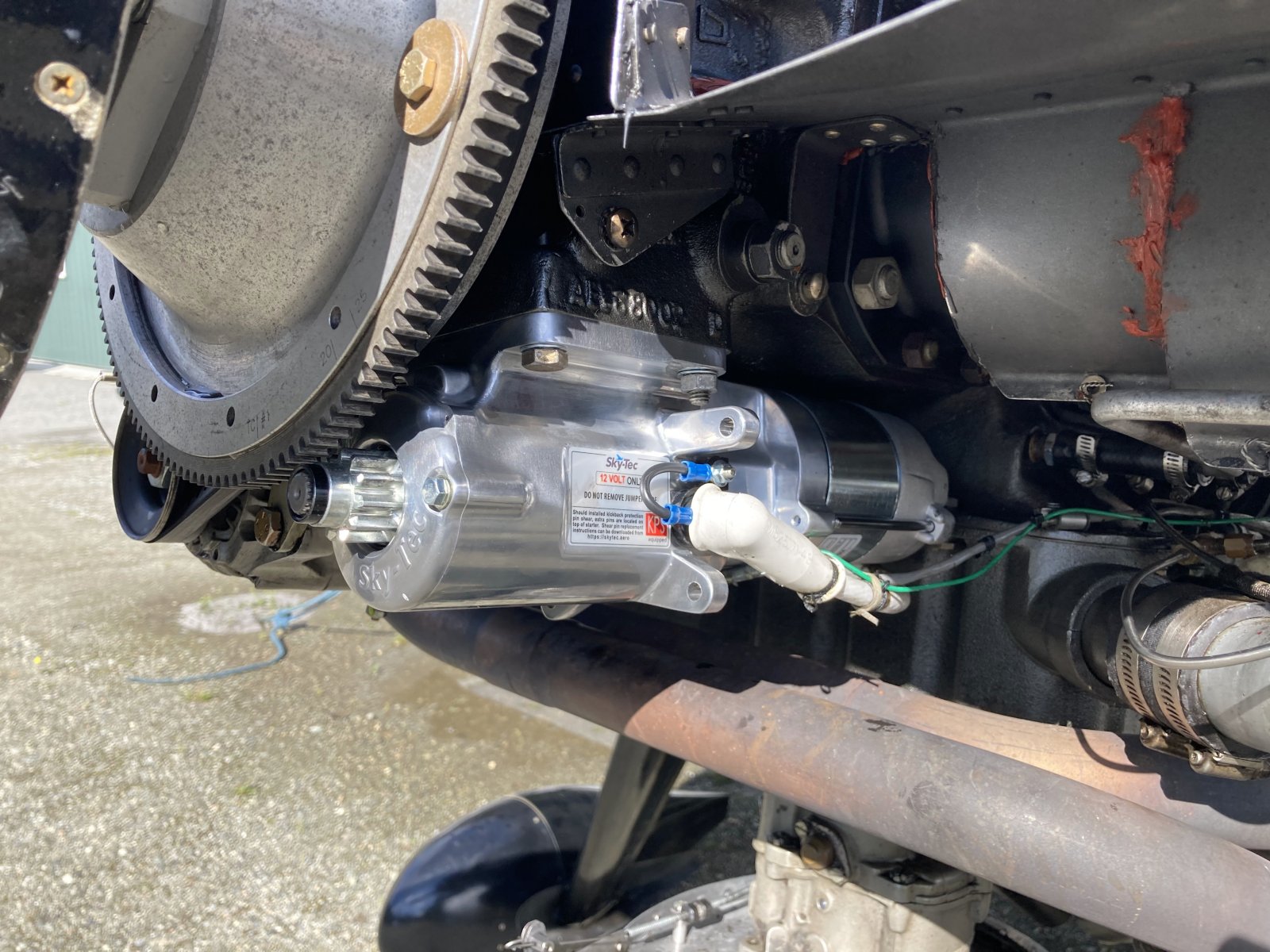
There is a brand-new Aircraft Spruce store between Palmer and Wasilla. My starter started (no pun intended) acting up on the flight to Alaska so I bought a new one at the Aircraft Spruce store -- it's a common item and they had it in stock. It was an easy install -- less than 30 minutes.
Medical. I knew Canada did not accept BasicMed, so I went to a flight surgeon early this year and got a Class 3 Medical.
Flight Plans and Itinerarys. In Canada you are required to file a flight plan if you're going 25nm away from the airport. Or you fly on a "Flight Itinerary". Basically you leave your flight itinerary with someone -- wife, friend -- so if you don't show up, they notify the search and rescue folks. Going up, flying the Alcan Highway, I was on a Flight Itinerary. Family members had a copy of the itinerary, plus they always knew where I was, thanks to the SPOT. Also, I was over the highway most of the time. Finally, I had the personal locater beacon. I did have to file a flight plan from Whitehorse to Northway because I was crossing the border. But coming back from Alaska, I decided to file a Canadian flight plan -- and talk to the weather briefer -- on every leg. Two reasons. 1) given the lack of resources to develop a weather picture on my own, I wanted to talk to a weather briefer before every flight, and since I was on the phone with them, why not just file a flight plan? And 2) I would not be on the Alcan Highway after Watson Lake and I wanted someone to know my planned route.
Crossing the Border. A major source of worry, second only to the weather. You have to cross the border into Canada. Then again, back into the U.S. Then coming home back into Canada. And finally, back into the U.S. Four border crossings. Basically, for each one, a day or so before, you file an online form called eAPIS. You are basically telling them when and where you want to cross. Next, less than 24 hours before crossing, you call CBP up and get their verbal approval to enter at a specific time. Finally, you have to land at the specific time, plus or minus 15 minutes. You stay in the plane until the CBP officer arrives and tells you its OK to get out. The officer asks a few questions. The three main ones were 1) Are you carrying firearms? 2) Do you have Cannibus? 3) Do you have more than $10,000 cash? Then the usual stuff like "How long are you going to be in Canada?" "Where are you coming from?" "What is the purpose of your visit?" They always want to see your passport. But you are also expected to have your pilot's license, medical certificate, aircraft registration. I was asked to see all four coming back into the continental U.S.
Where to clear customs is an important decision. As I mentioned before, I decided to enter Canada and enter the continental U.S. at the border airstrip at Whetstone/Del Bonita. This makes it easy on both the CBP officers and you. The CBP officers are already stationed there and don't have to drive to meet you at, say Cut Bank. You don't have to file a flight plan to cross the border and you don't have to have a squawk code. Entering Alaska, I had three choices: clear customs at Northway, Fairbanks or Anchorage. For sure, I didn't want to go into the complex Anchorage airspace. I didn't mind going to Fairbanks but that was kind of out of my way. Northway was my first choice but there were reports the CBP wasn't doing it there anymore since an officer had to make an hour drive from the border crossing station to the airport. Still, I decided to ask for it and see what happened. I filed for Northway on the eAPIS form. Later I called them up. They said, we can't tell you right now; call first thing in the morning on the day you fly in. So I did. The nice CBP lady was flexible and so was I and we agreed on a time that was convenient to both of us. I arrived five minutes early, and the CBP officer was already there. He had just cleared a RV-9 which was returning from Oshkosh.
Three weeks later, I decided to clear customs at Beaver Creek Airport, just over the border in Canada. Same deal, file the eAPIS form, call up the Canadian CBP beforehand and agree on a time. But on this crossing they told me to call them when I landed. I landed on the gravel strip at Beaver Creek, stayed in my plane, and gave Canada CBP a call. The officer asked me a few questions, and then said, "OK, you're good to go." Sweet! There was a Canadian border crossing station 100 yards away but I guess they didn't think I was worthy enough to have an officer walk over.
For the final crossing into the continental U.S., I again decided to cross at Whetstone/Del Bonita. I filed my eAPIS form. I had a little trouble finding the identifier for Whetstone because I was looking for H28 and all the airport identifiers on the drop-down list start with K. I finally found it: KH28 with the name Del Bonita - Whetstone. I was planning on crossing Saturday 24 August. But that morning there was fog at Watson Lake and I got a late start. I called U.S. CBP and they told me the latest I could arrive was 4:45PM. Since I was losing an hour due to the time zone change, I couldn't make that, so I told them I'd be crossing on Sunday 25 August. The next morning I called them again, and we agreed on 2PM. The CBP Officer was very flexible. I landed right on time, stayed in the plane, and soon the CBP Officer walked over from the border crossing station. Everything went fine and he soon said I was good to go.
So, all in all, I found the border crossing procedure to be pretty straightforward. The CBP officers will work with you. But it is worrisome in that you have to land at the agreed upon time, which really drives your schedule. You have to do everything right, of course, or experience some unpleasantness.
Firearms. You can bring a rifle or shotgun into Canada but a bunch of paperwork is required. I was asked on all four of my border crossings if I had firearms. In an attempt to keep the border crossings as simple and easy as possible, I opted not to bring a firearm with me. I did bring a canister of bear spray which is allowed. Pepper spray is not allowed in Canada, however.
Smartphone. Someone said while flying through Canada it was absolutely essential that your smartphone worked there. I did what I could to confirm my cell phone service would work in Canada beforehand. It did, and I agree that it was vital that it did. The smartphone is necessary to talk with Canada flight service, to talk with U.S. and Canadian CBP, plus all the usual things.
Credit Cards. I'd bring three different ones. At least one should be Visa and at least one should be MasterCard. The card reader at Watson Lake would not take Visa but would take MasterCard which thankfully I had.
Obviously, the plane needs to be in tip-top shape before making a flight to Alaska. It's a long way away, and airports with maintenance facilities are few and far between. I did my annual conditional inspection right before the Alaska flight. My engine is high-time -- 2,000 hours -- and I wanted to fly to Alaska with a new engine. (Why not just have the old engine overhauled? Answer: because the plane would be out of action for six months or more. Unacceptable) I tried try to get a new engine for this flight. Last October I ordered a new Lycoming O-360 via Vans Aircraft intending to install and break it in prior to the Alaska flight. My timing was impeccable; a week later after I ordered and put my 25% deposit down, Vans declared Chapter 11. I can't order a new engine somewhere else because Van's has my deposit. But the delay isn't Van's fault. Some of it is Lycomings's. But mostly it's the global supply chain issues. It now takes two years to get a standard Lycoming engine (not the fancy Thunderbolt). My new engine isn't supposed to arrive until December. 2025. Anyways, my high-time engine was running well, so I decided to make the trip with it.
Tools - Aircraft Maintenance. I brought a lot of tools. Plus spare spark plugs, fuses and hardware. But even so on this trip I learned there are some other tools I should have brought: a magneto timing box, a torque wrench, and the prop crows-foot extender.
Fuel availability. Because airports with fuel are few and far between in Alaska and Canada, you can, and should check the airport Notams to see about fuel. You can also call to confirm fuel availability by phone prior to the flight. I did that a few times.
I only camped at Watson Lake, both going to Alaska and then coming back. The tent, sleeping bag and air mattress I carried would also be nice to have in an emergency. Watson Lake airport is too far from town to walk and cab service is expensive. Camping saved me quite a bit of money. On the way home, I stayed overnight at Kamloops, but camping was not allowed, and motels far away, so I had to use a taxi to and from the motel, so it was $200+ for the night. I don't mind camping; I usually camp by the plane when I go to AirVenture so I'm used to it.
All my landings in Canada and Alaska were on asphalt, except for when I crossed the border in western Montana at Whetstone/Del Bonita. That was turf -- a little rough -- but certainly doable. I had heard about gopher holes there but they had all been filled in so it wasn't a problem. I also landed on gravel strip at Beaver Creek where I stopped to clear customs. The gravel runway was actually a very long and wide and smooth.
Web Cams in Alaska are a great resource. They are located in all the mountain passes. I did much better utilizing them on my return trip because I spent time studying the route and available weather cams. I would recommend familiarizing yourself with the Web Cam page -- Link -- before departing on a trip to Alaska. As for Canada, there are a few Web Cams but not many. Nothing like Alaska.
The RV's speed, range, and ability to climb quickly were was a big advantage on this flight. In particular, I was very happy to have the RV-7's long legs; i.e., fuel endurance. I flew all the way from Watson Lake to Mackenzie -- 342 nm over almost total wilderness -- and had enough fuel to fly all the way back if I had to. (Thankfully, I didn't.)
The journey to and from Alaska through Canada was scenic but the best scenery of all was within 30 minutes flying time from the Wasilla-Palmer area: Knik Glacier and Denali. It really helped that I had been to Alaska twice before -- via commercial air -- and knew my way around a little bit. I had seen Palmer and Wasilla airports, done a flightseeing tour around Denali, driven to Fairbanks.