August 2024 - Alaska Flight
The Best Of
|
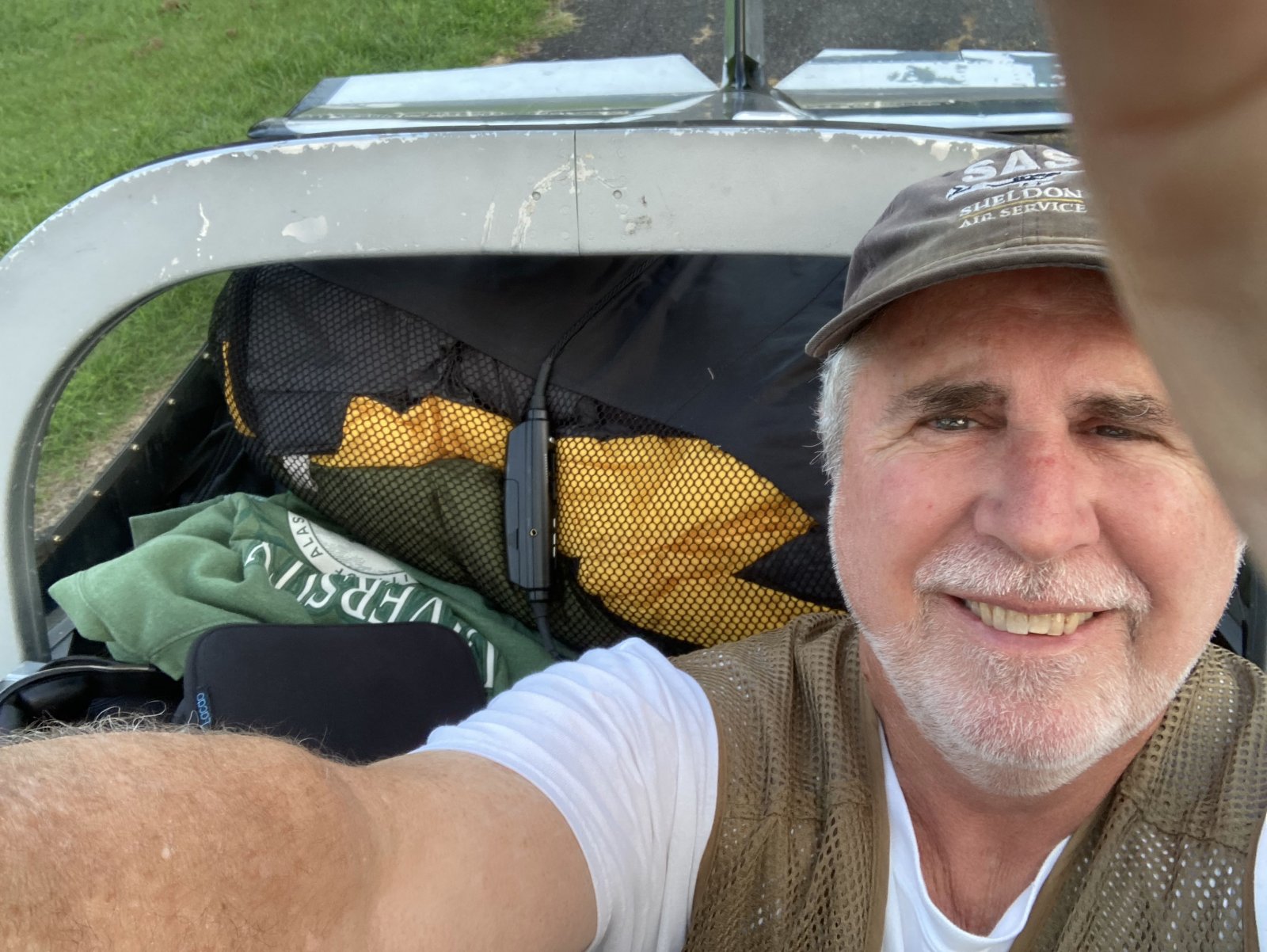
| Pre-takeoff selfie for the long cross-country of all long cross-countries! |
| |
 |
|
|
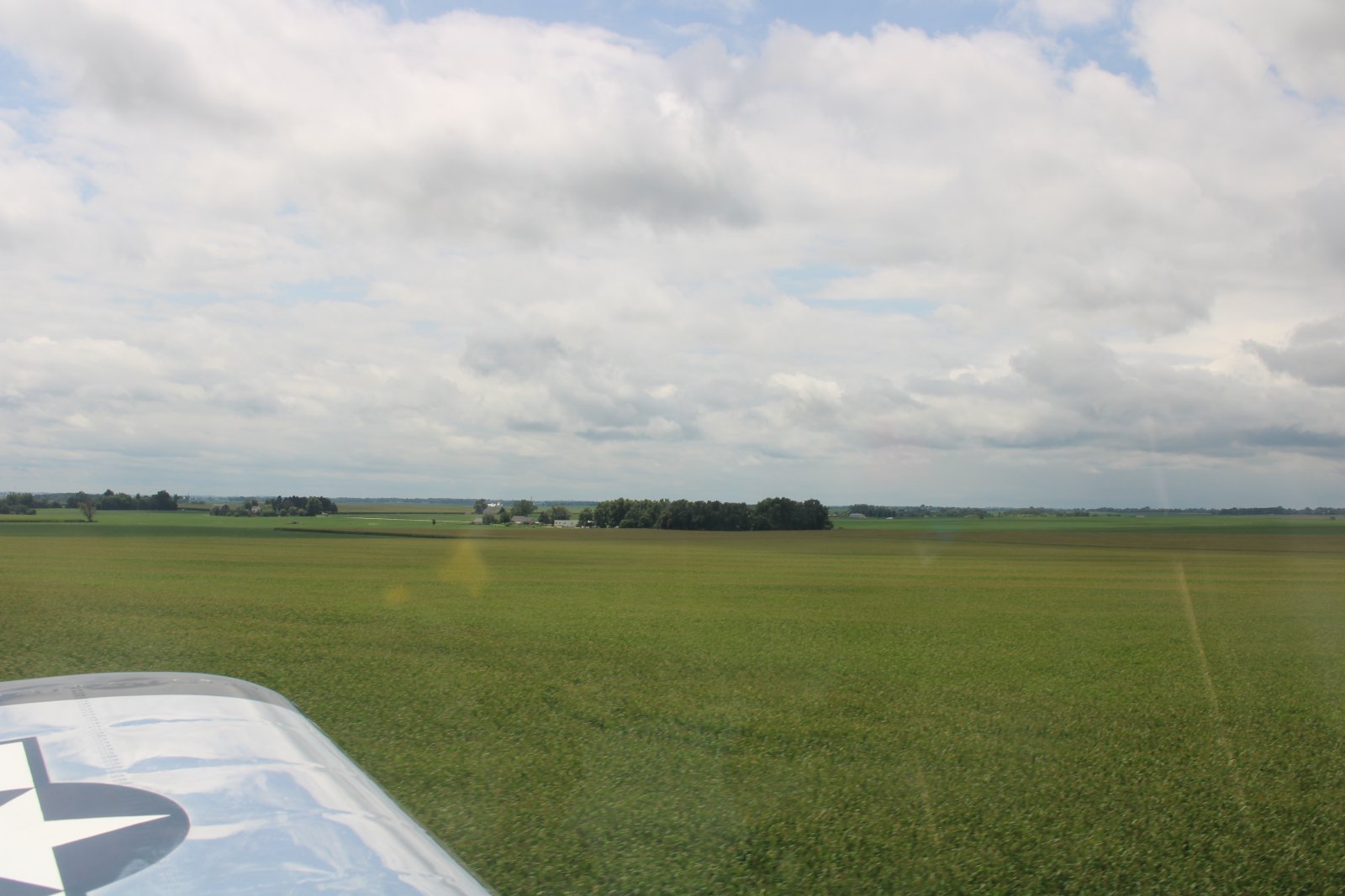
Crop dusting somewhere in Illinois.
|
| |
 |
|
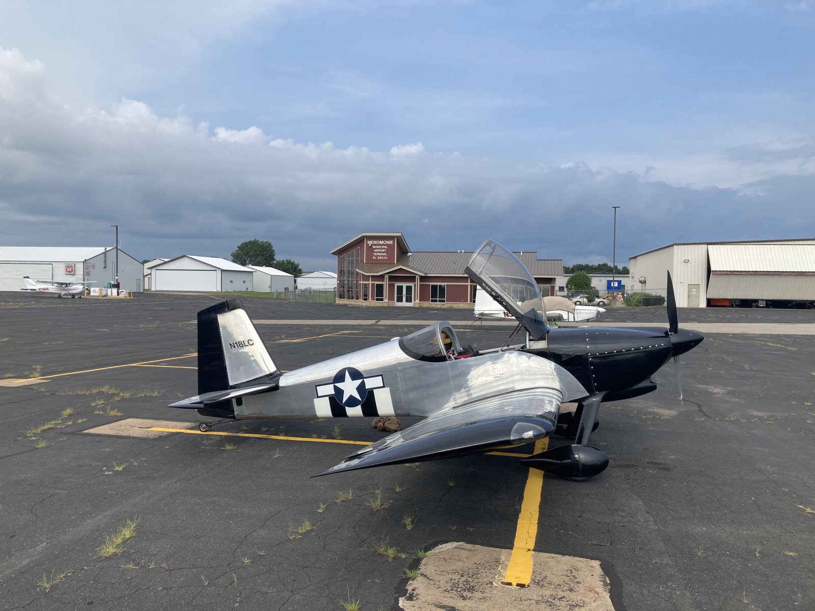
| I stopped for the night in Menomonie, Wisconsin which is east of Minneapolis. Good overnight stop. Courtesy car. |
| |
 |
|
|
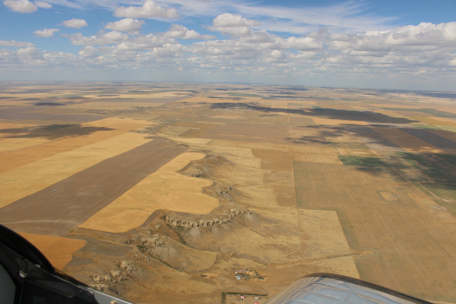
Colorful ground in eastern Montana.
|
| |
 |
|
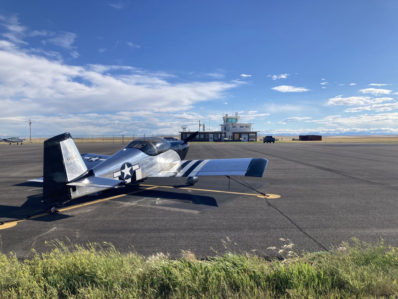
| My second overnight was in Cut Bank, Montana. This airport is a great jumping off point for entering Canada the next morning. They have not one, but two courtesy cars, available at all hours. They also have some pilot bunk rooms, plus a shower. As you can see, this is big sky country! |
| |
 |
|
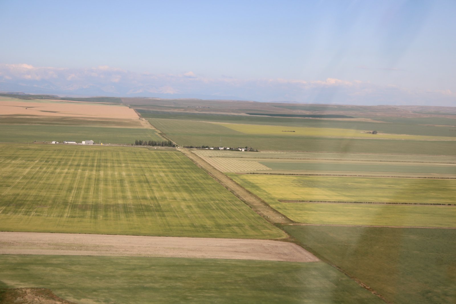
| The next morning I fly 30 miles or so to the U.S. - Canada border. I land at Whetstone/Del Bonita airstrip, pictured below. It runs east west and is straddles the border. The U.S. border crossing station is at left, Canada border crossing station at right. I landed to the west, parked at the end facing north. A Canadian officer came out of the station and cleared me. Very convenient to all concerned. One concern was possible gopher holes in the grass runway but all the holes I saw were filled with dirt and it was a non-issue. |
| |
 |
|
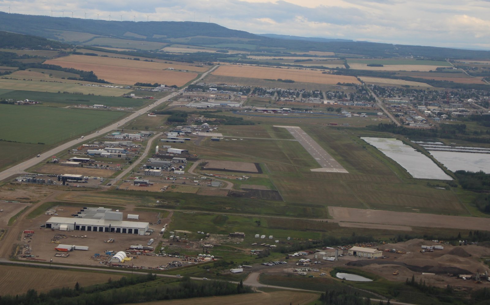
| Looking down at Dawson Creek airport and the town. Dawson Creek is where the Alaska - Canada (AlCan) Highway begins. |
| |
 |
|
|
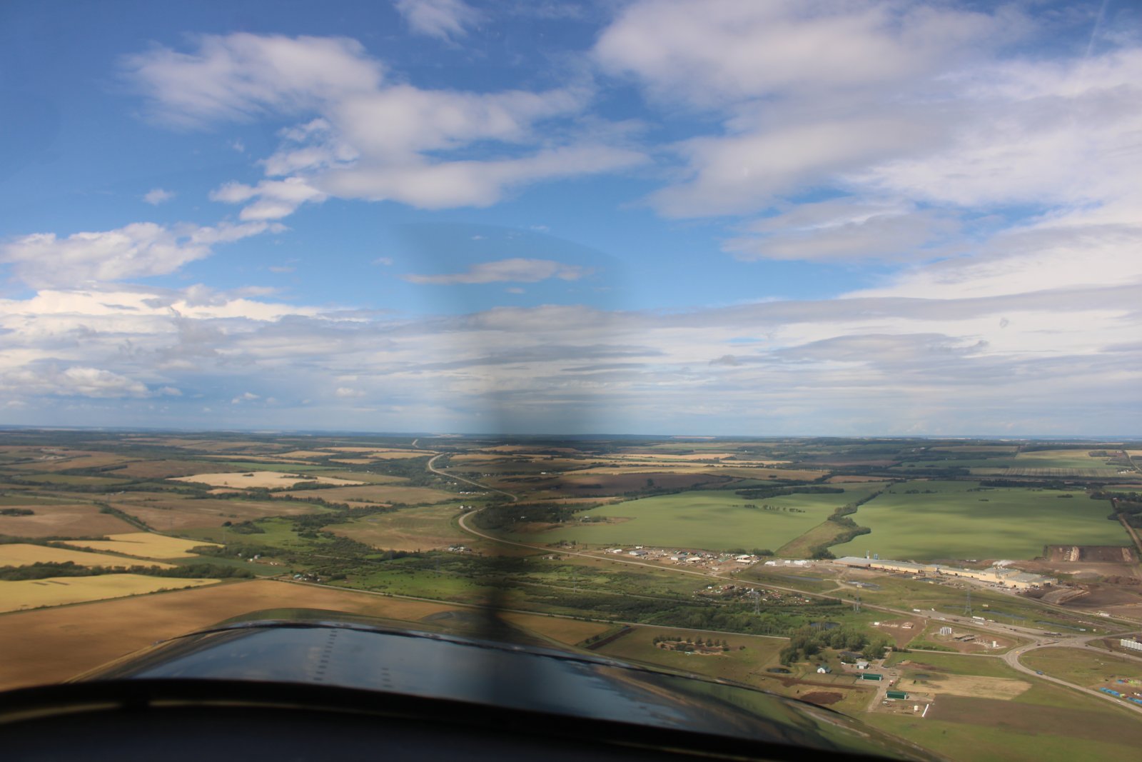
Heading northwest out of Dawson Creek, following the AlCan Highway which you can see below.
|
| |
 |
|
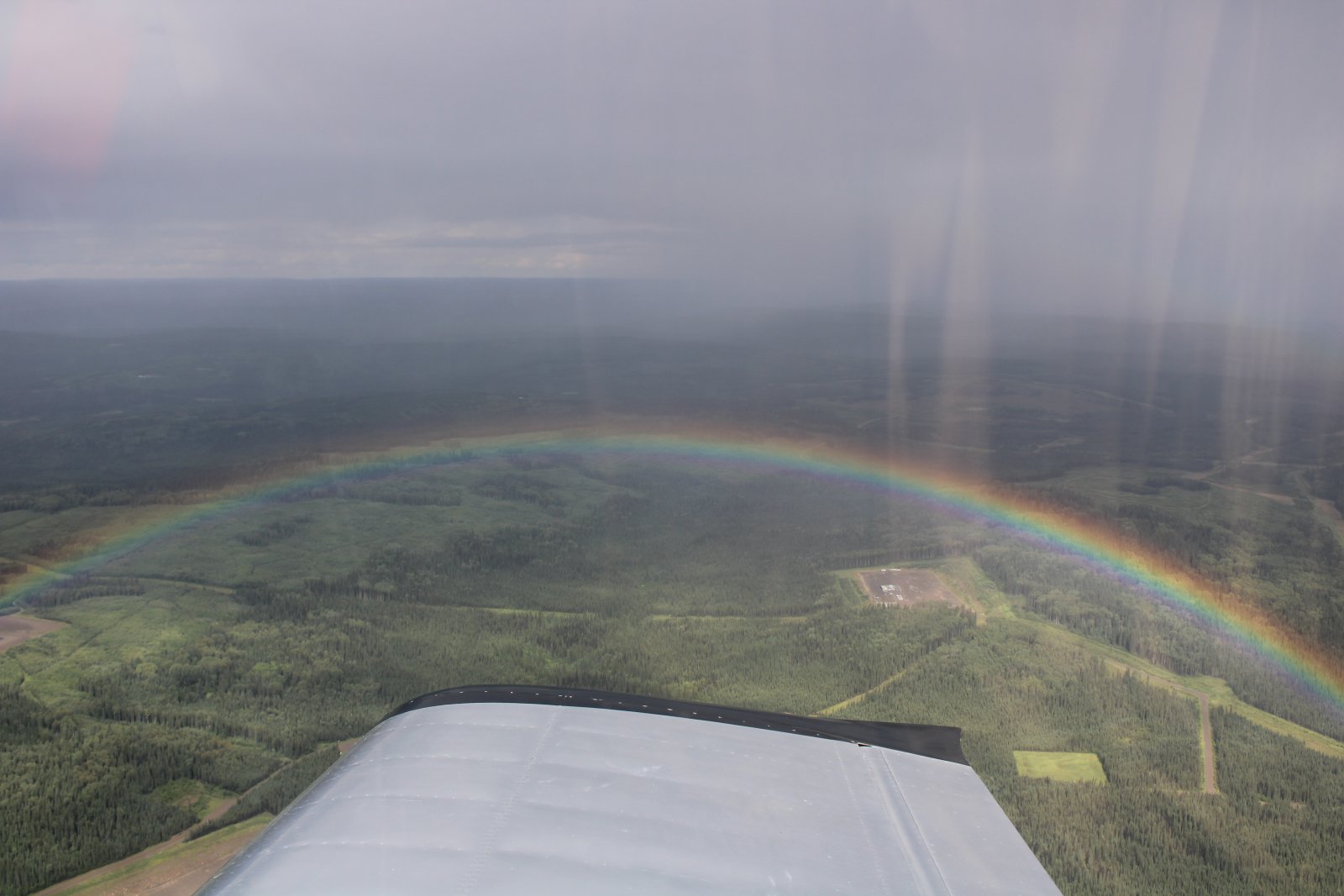
| I passed through some rain and got this nice rainbow shot coming out. |
| |
 |
|
|
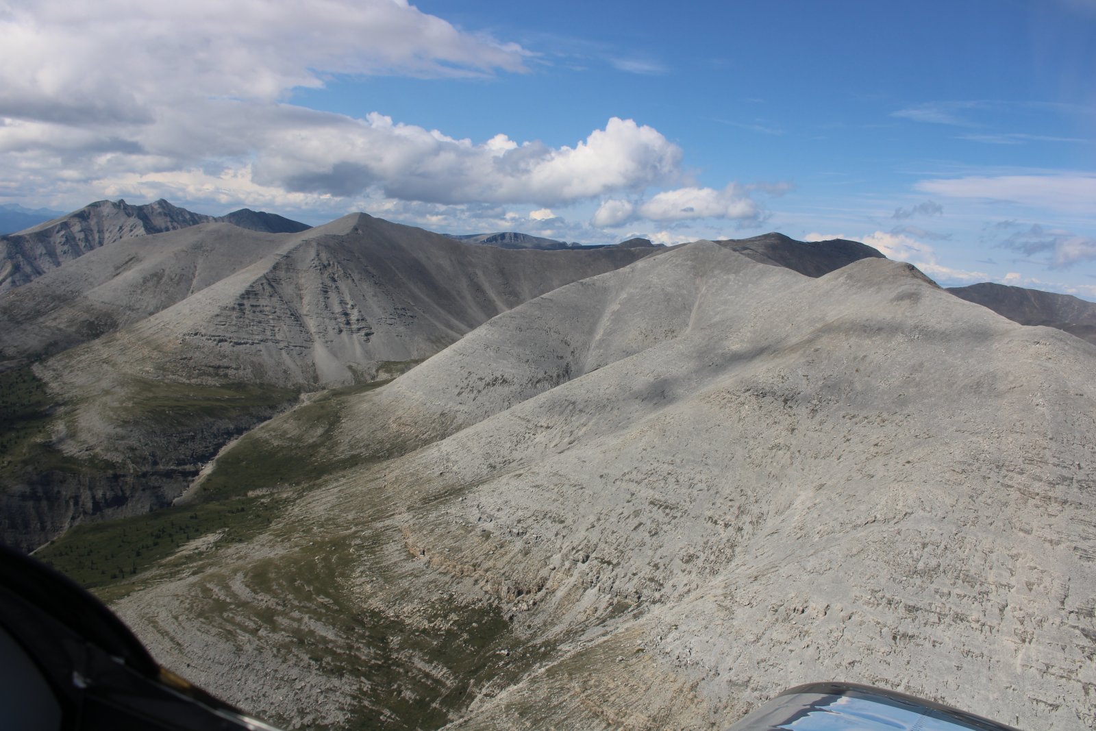
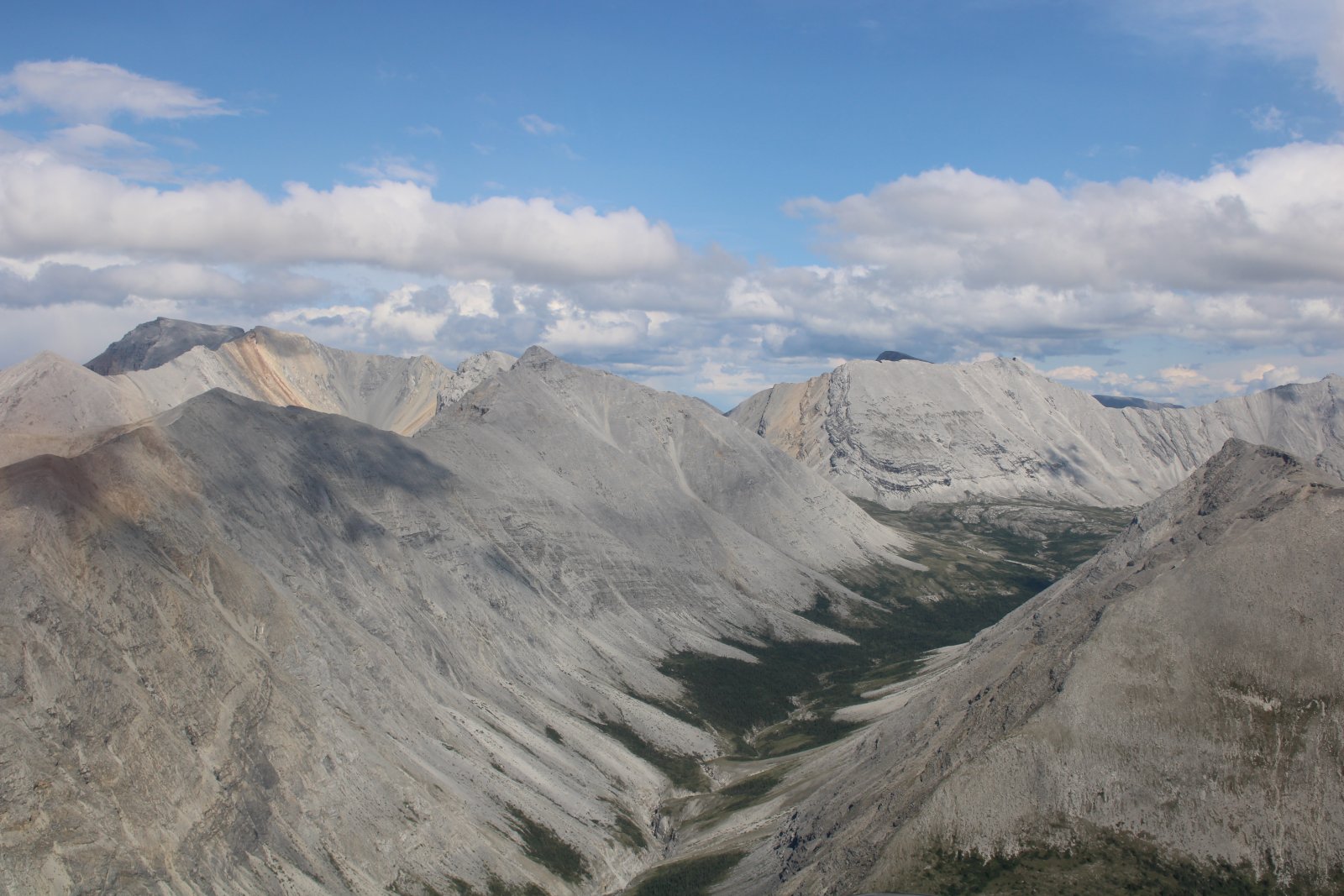
After cutting the corner at Fort Nelson, I entered the Canadian Rockies. The Stone Range mountains were very unusual.
|
| |
 |
|
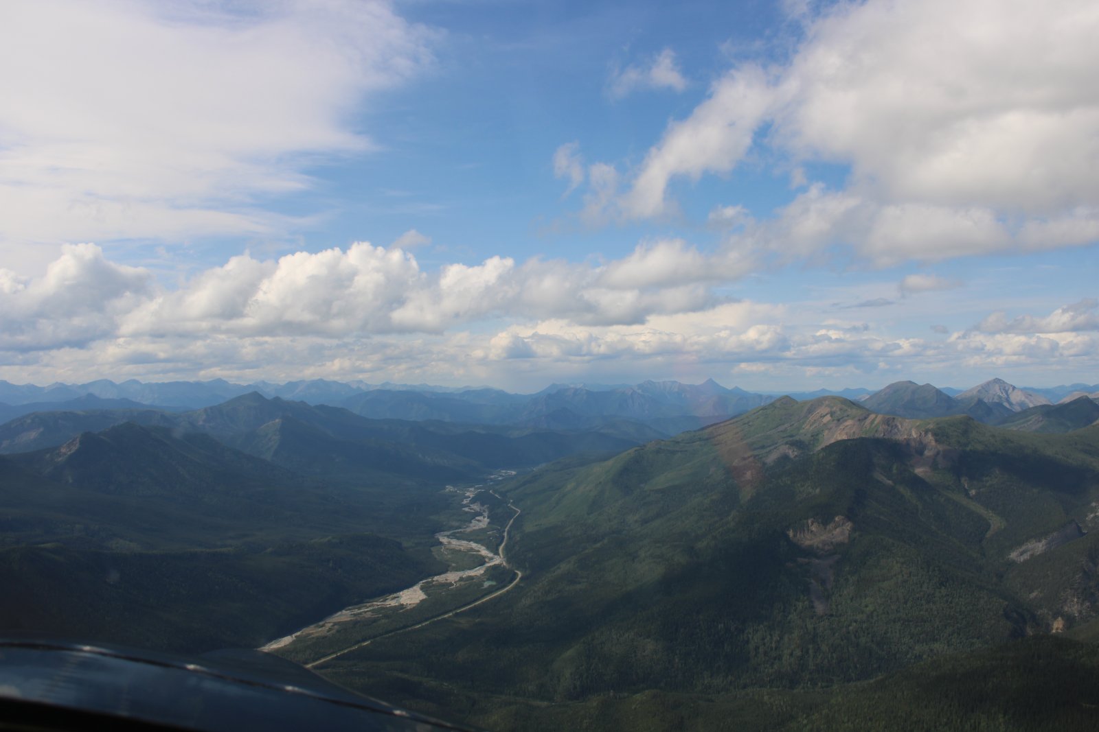
| A typical shot flying the highway. Mountains and wilderness on each side, the highway travels through a valley or pass, frequently alongside a river or a lake. |
| |
 |
|
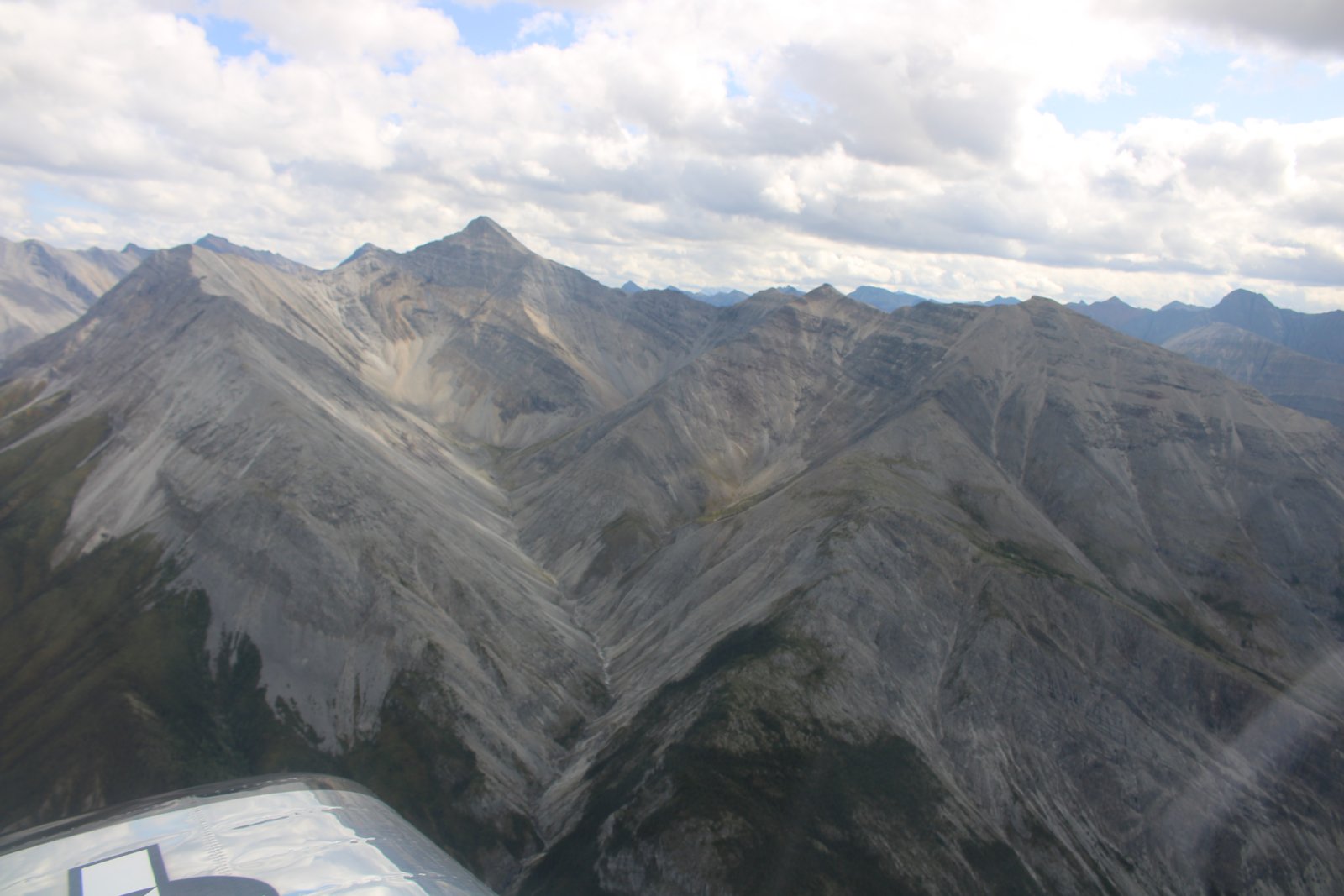
| More naked mountains. |
| |
 |
|
| |
| |
 |
|
|
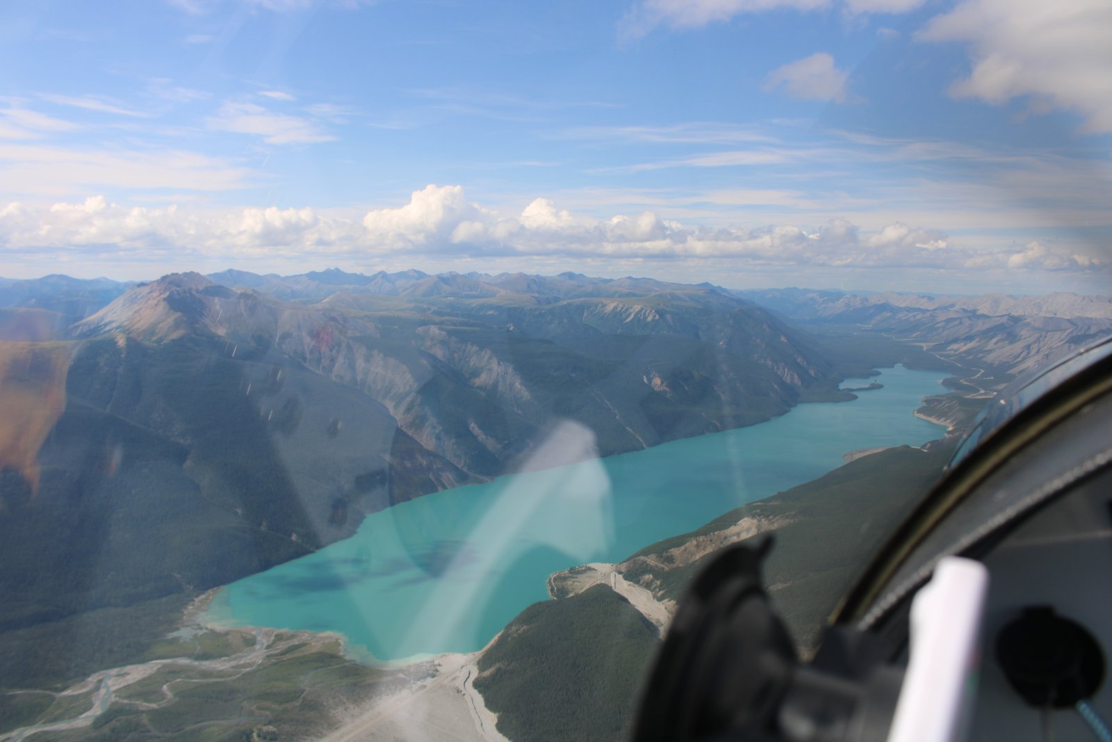
Muncho Lake. During World War II Army Engineers blew up the cliffs on the east side to make room for the highway.
|
| |
 |
|
|
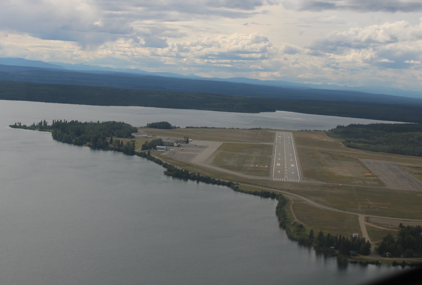
On final at Watson Lake Airport.
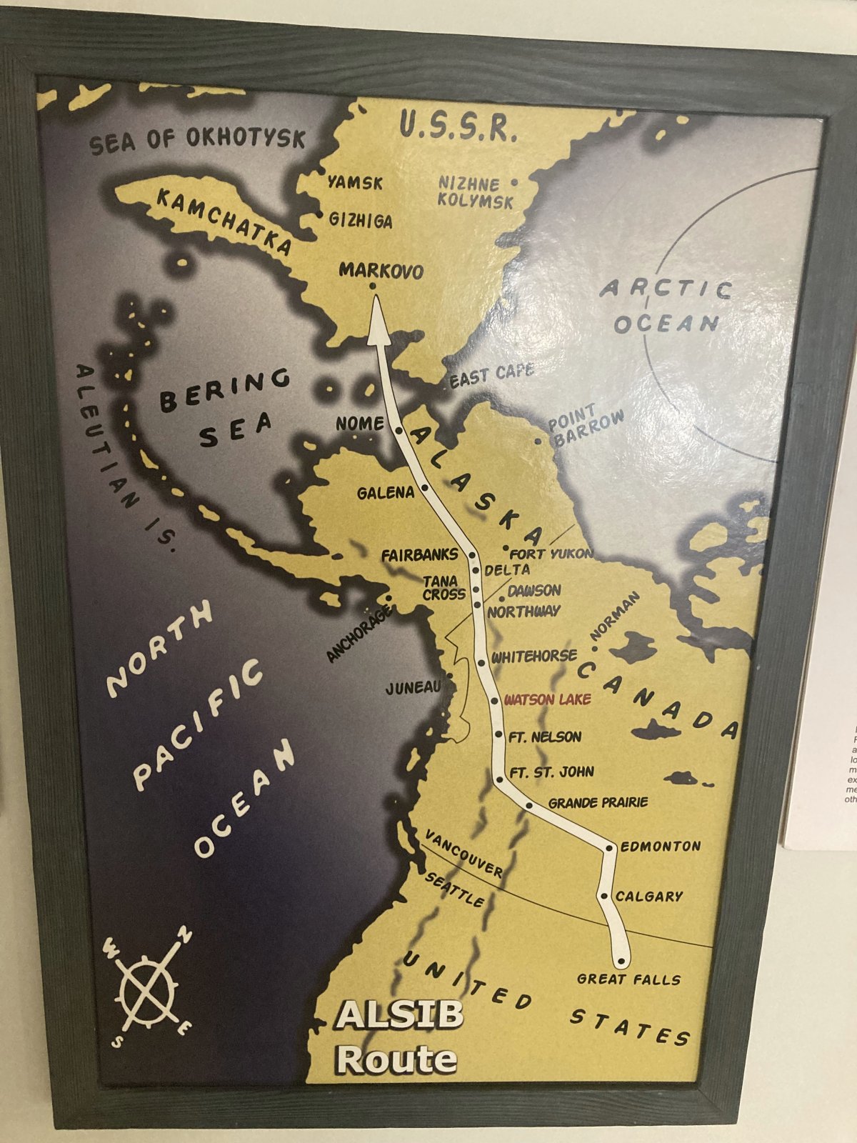
Watson Lake was one of the primary airfields on the WWII Northwest Staging Route, a series of airfields on a route across Canada between the U.S. and Alaska. These bases had already been started prior to Pearl Harbor. When considering a route for the AlCan Highway, the primary factor Army planners gave for choosing the route they did was to build a road between the Northwest Stating Route airfields.
|
| |
 |
|
|
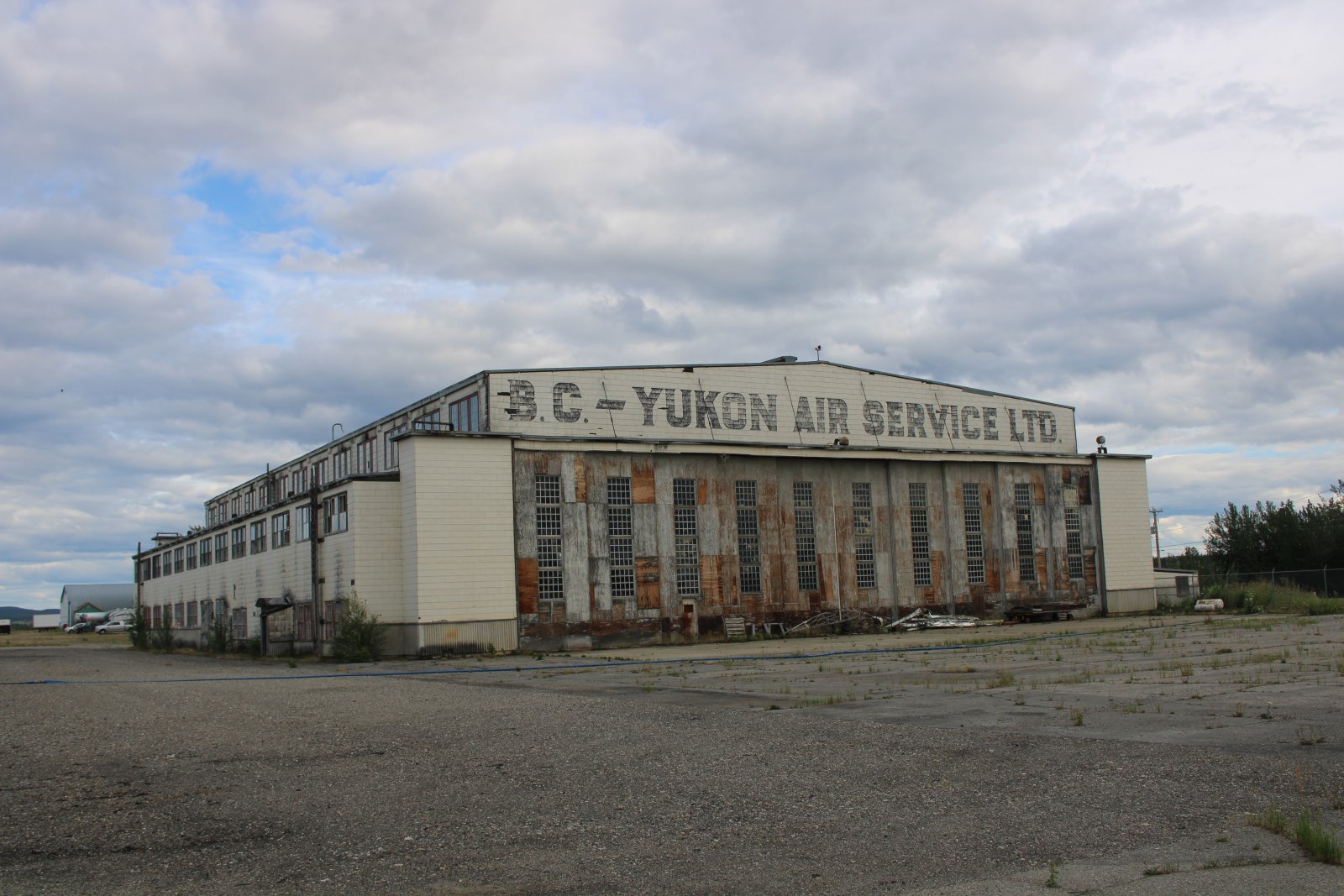
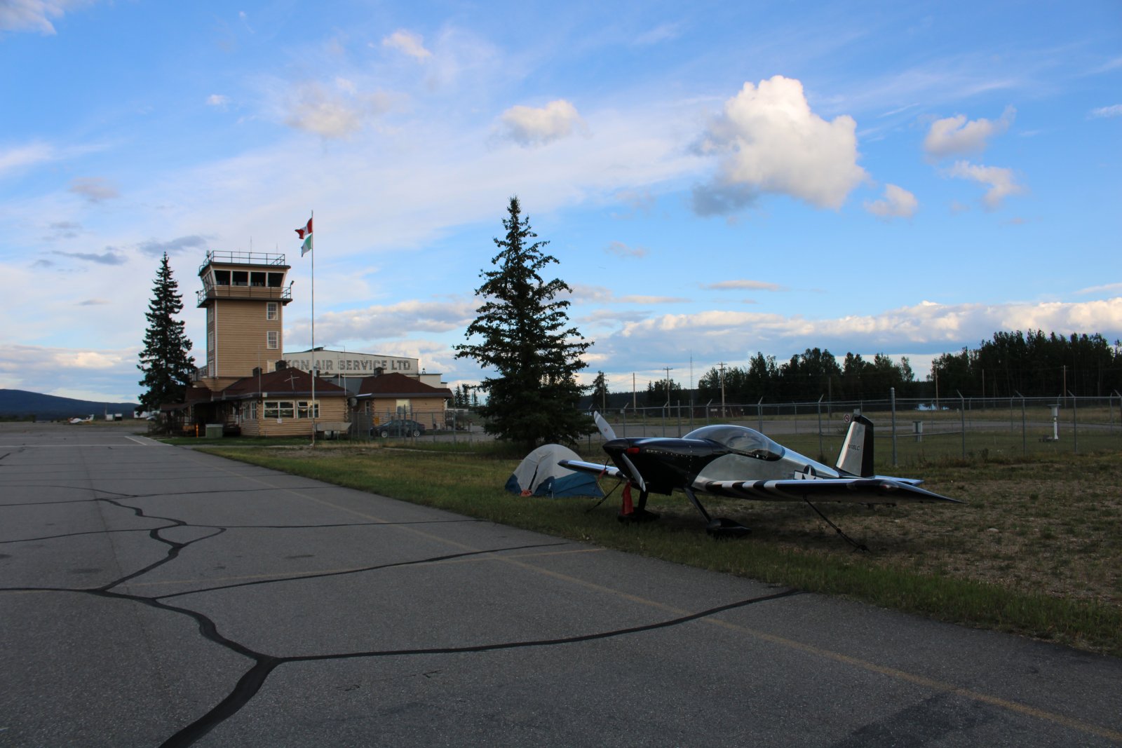
The big old hangar from the World War II days still stands.
|
| |
 |
|
| My lodging for the night at Watson Lake. The airport was deserted although there is a CARS radio station operator always present. |
| |
 |
|
| Inside the Watson Lake terminal building was this nice map of the World War II Northwest Staging Route. Thousands of lend-lease planes were flown from the U.S. to the Soviet Union along this route. |
| |
 |
|
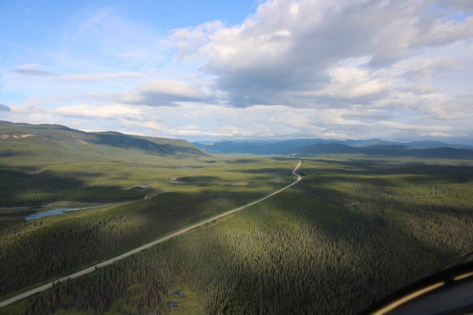
| Nice shot of the AlCan Highway heading northwest. |
| |
 |
|
|
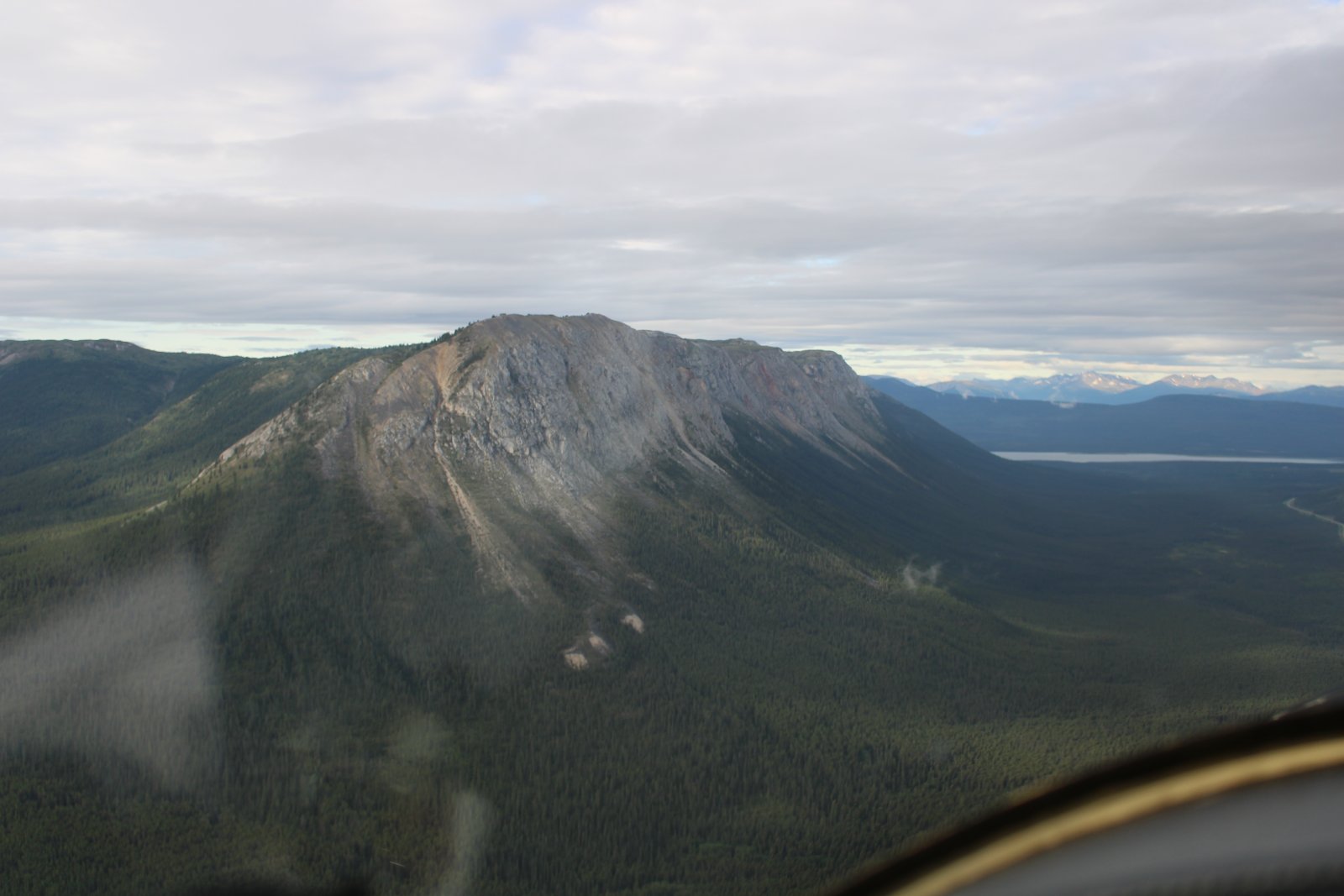
Mount White.
|
| |
 |
|
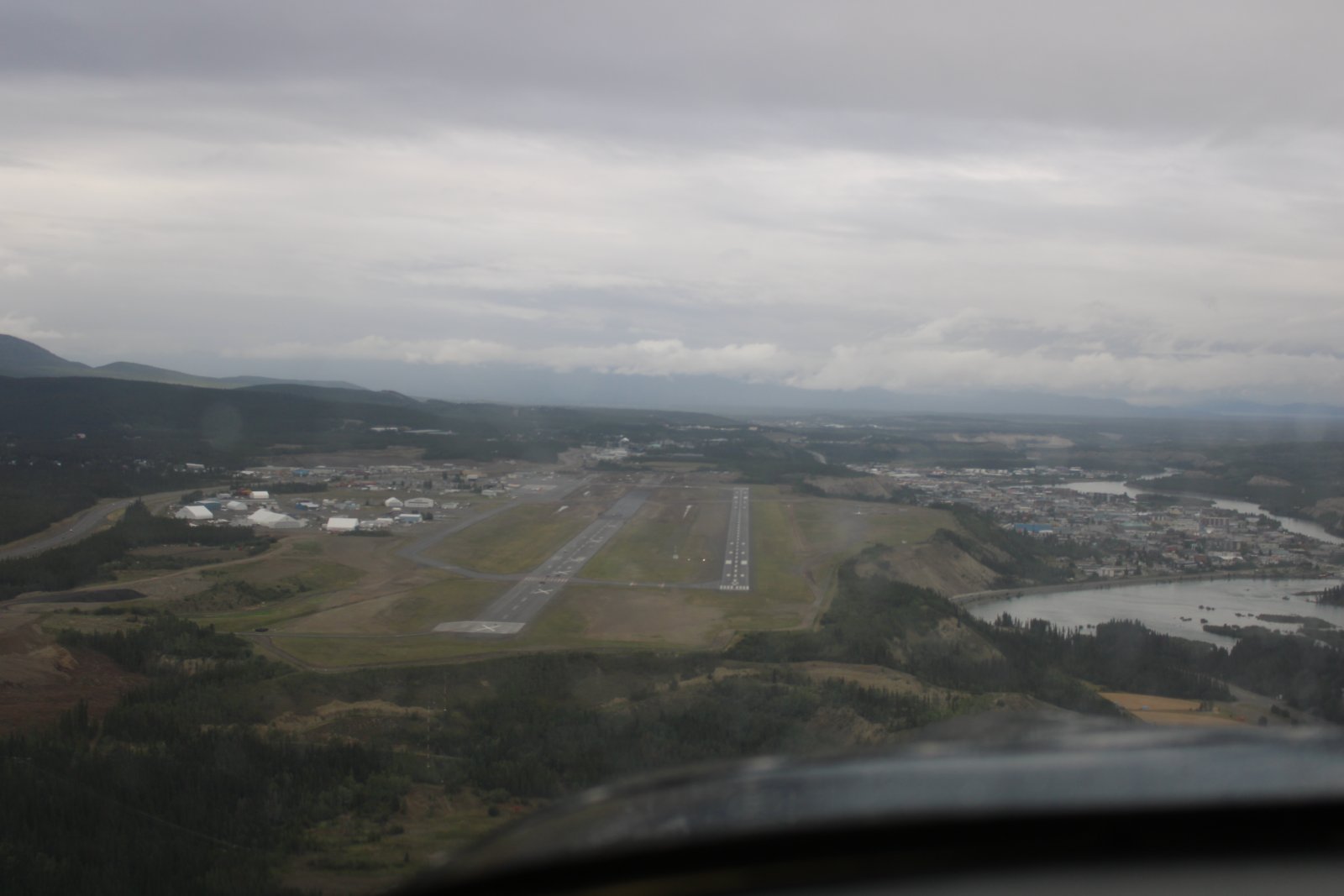
| On final for Whitehorse Airport in the Yukon. Whitehorse was another primary airfield on the WWII Northwest Staging Route. |
| |
 |
|
|
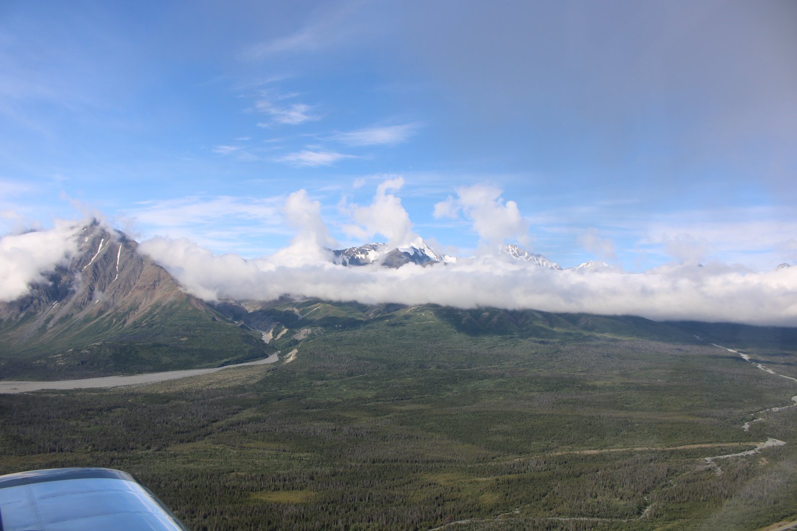
I encounter snow-covered mountains northwest of Whitehorse, Yukon. The tallest one is Mount Archibald.
|
| |
 |
|
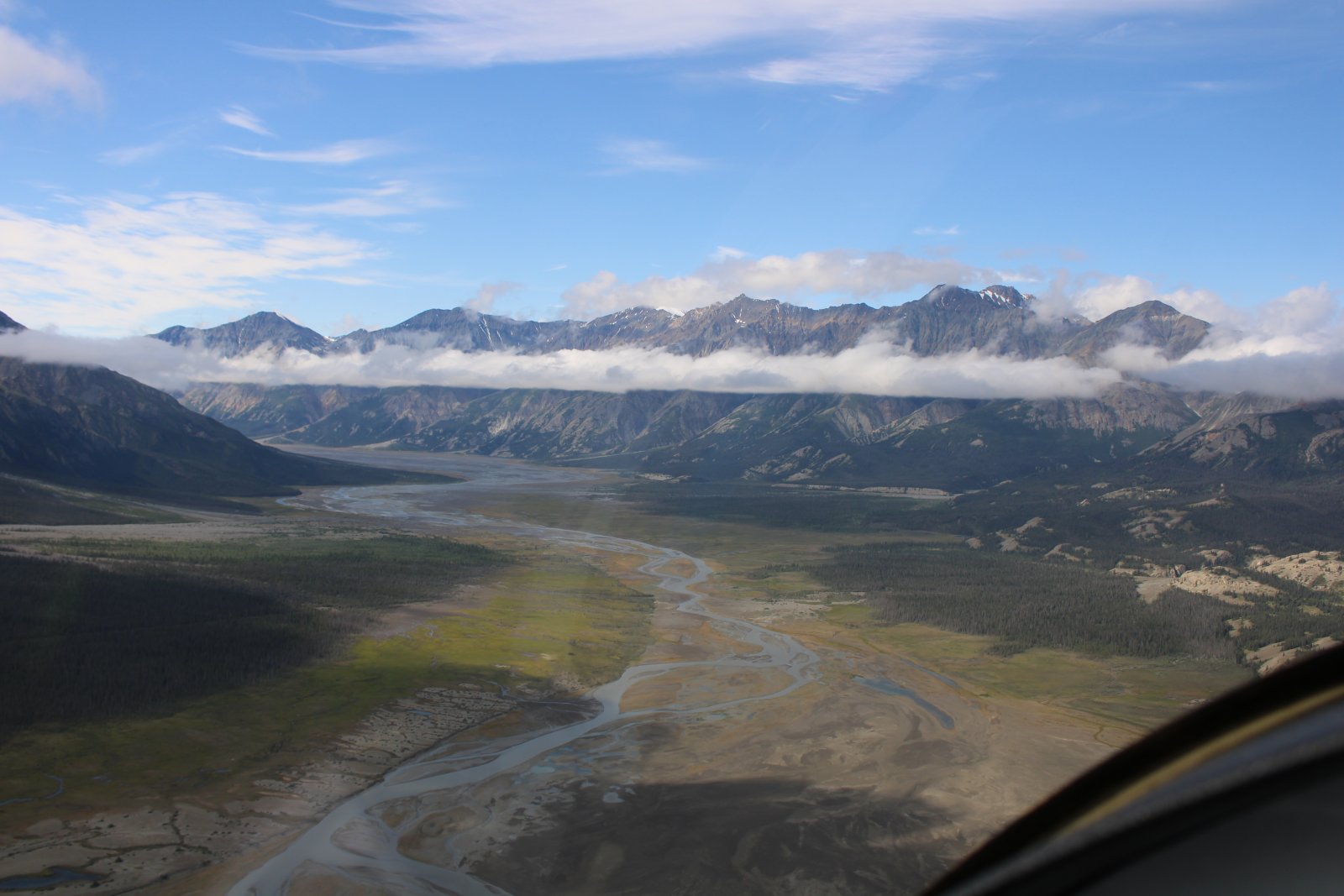
| Looking southwest at the southern end of Kluane Lake. Had I gone in this direction I would have soon encountered a glacier, snow-covered mountains and the big Kluane National Park and Reserve. I really wasn't that far from Yakutat, Alaska which has an airport with services. In other words, a great area to go flightseeing. Next time! |
| |
 |
|
|
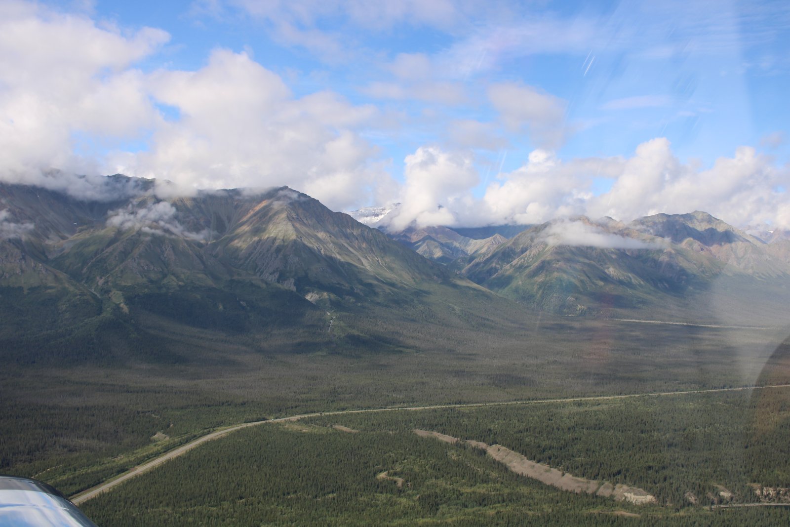
The AlCan Highway runs alongside a spectacular mountain range.
|
| |
 |
|
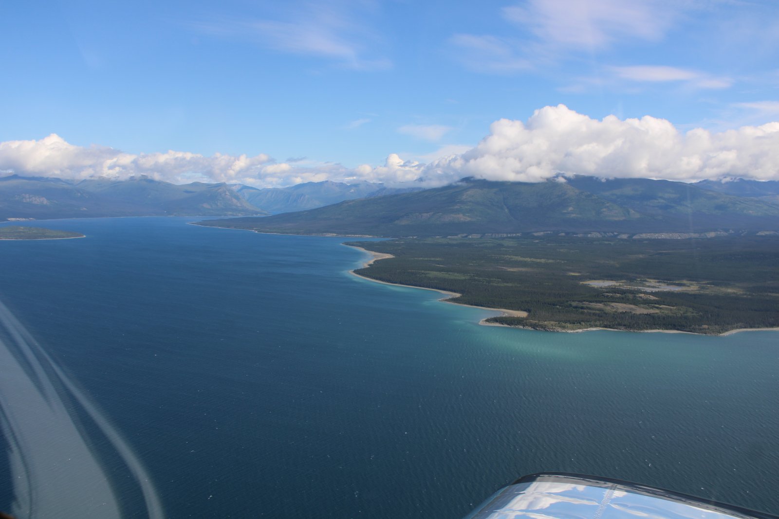
| Flying the length of pretty Kluane Lake, which is huge. |
| |
 |
|
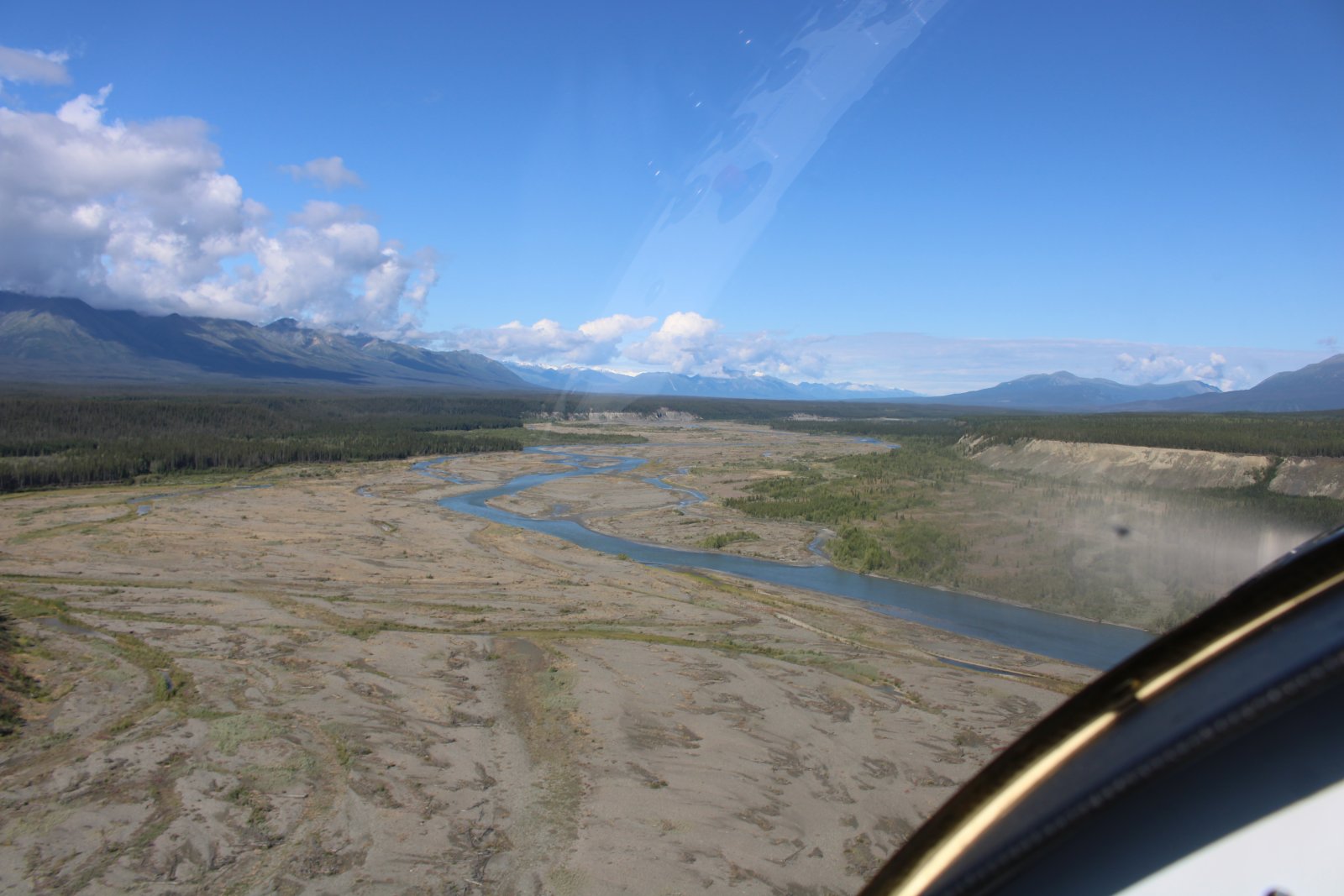
| Rolling in hot on the Kluane River. |
| |
 |
|
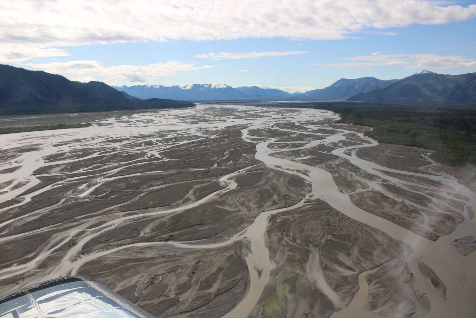
| I fly up the White River to kill some time prior to my border crossing appointment. |
| |
 |
|
|
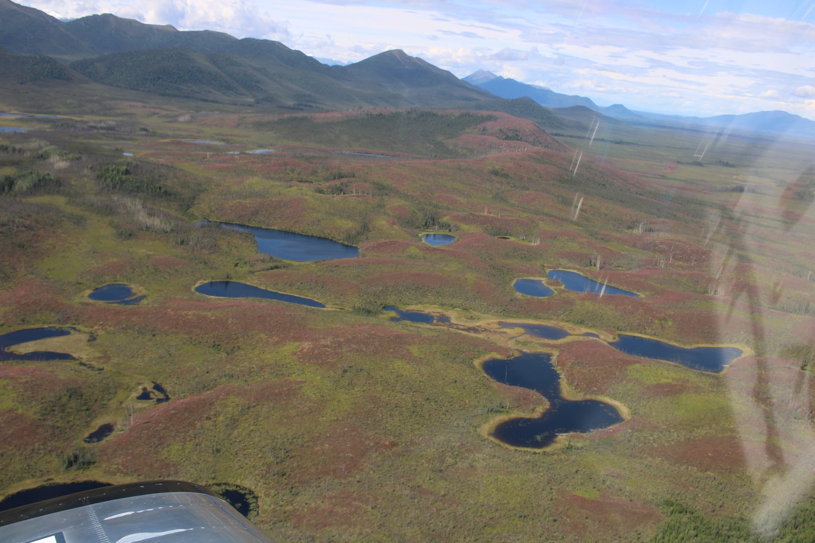
Unusual color in muskeg country. (Muskeg is a term for wet, acidic, and spongy land covered with moss, peat, and stunted trees. It forms where water drainage is prevented by permafrost, clay, or bedrock, and can be a challenge for transportation and wildlife. Muskeg is a standard term in Canada and Alaska.)
|
| |
 |
|
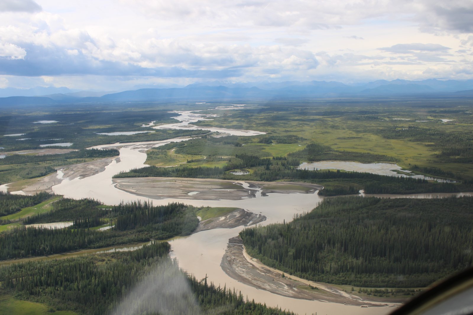
| Flying over the Chisana River almost to Northway Airport in Alaska, where I will clear U.S. customs. |
| |
 |
|
|
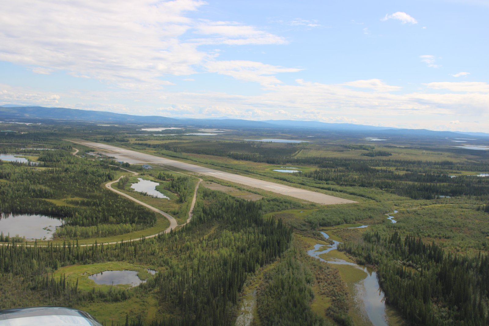
Turning base leg for a landing at Northway. I have an appointment to meet a CBP officer here to clear customs. Northway was another primary airfield on the WWII Northwest Staging Route.
|
| |
 |
|
|
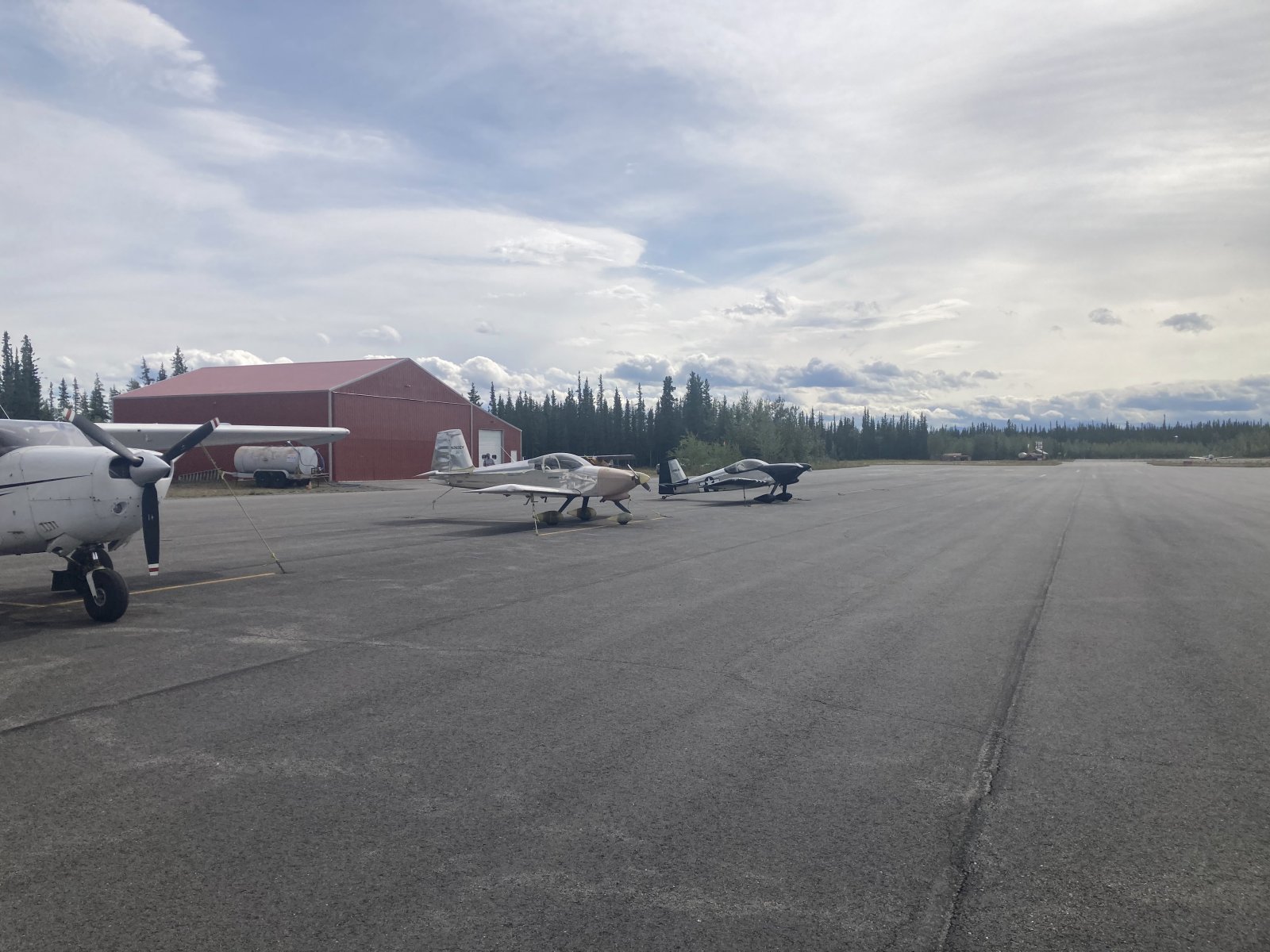
I met a fellow RV driver at Northway -- David was also clearing customs after returning from Oshkosh. I followed David to Tok where we both topped off and had lunch a Fast Eddie's, a restaurant across the street from the airport.
Here we are parked on the ramp at Tok.
|
| |
 |
|
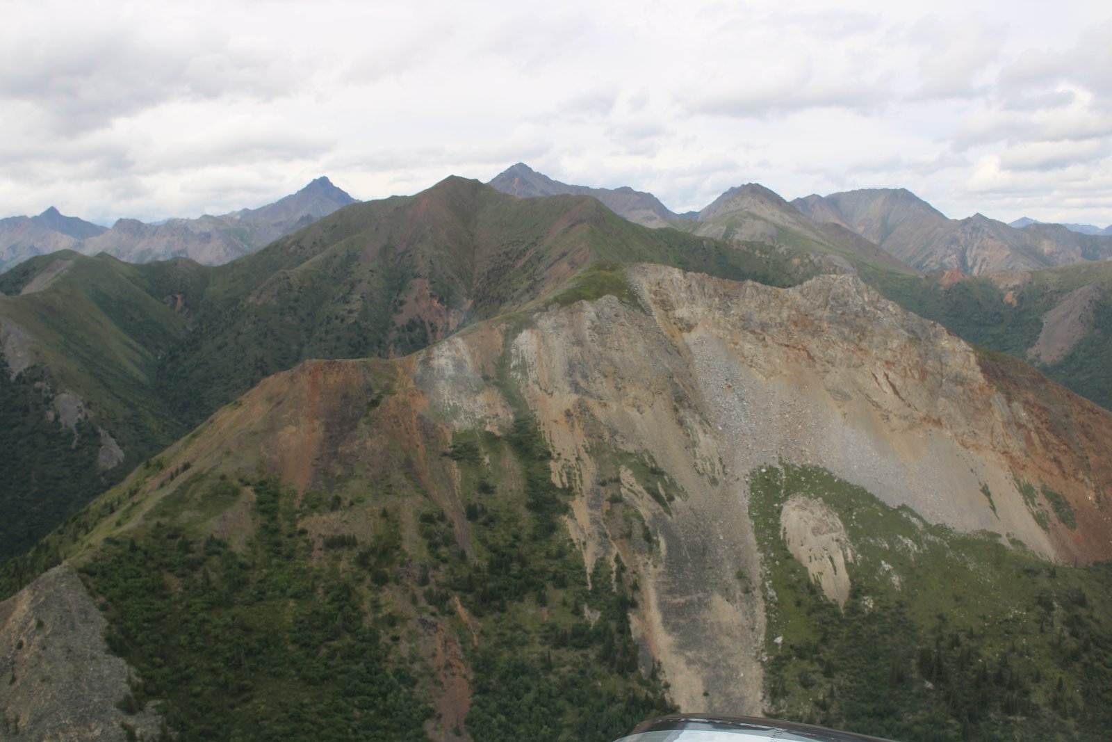
| Transiting Mentasta Pass. |
| |
 |
|
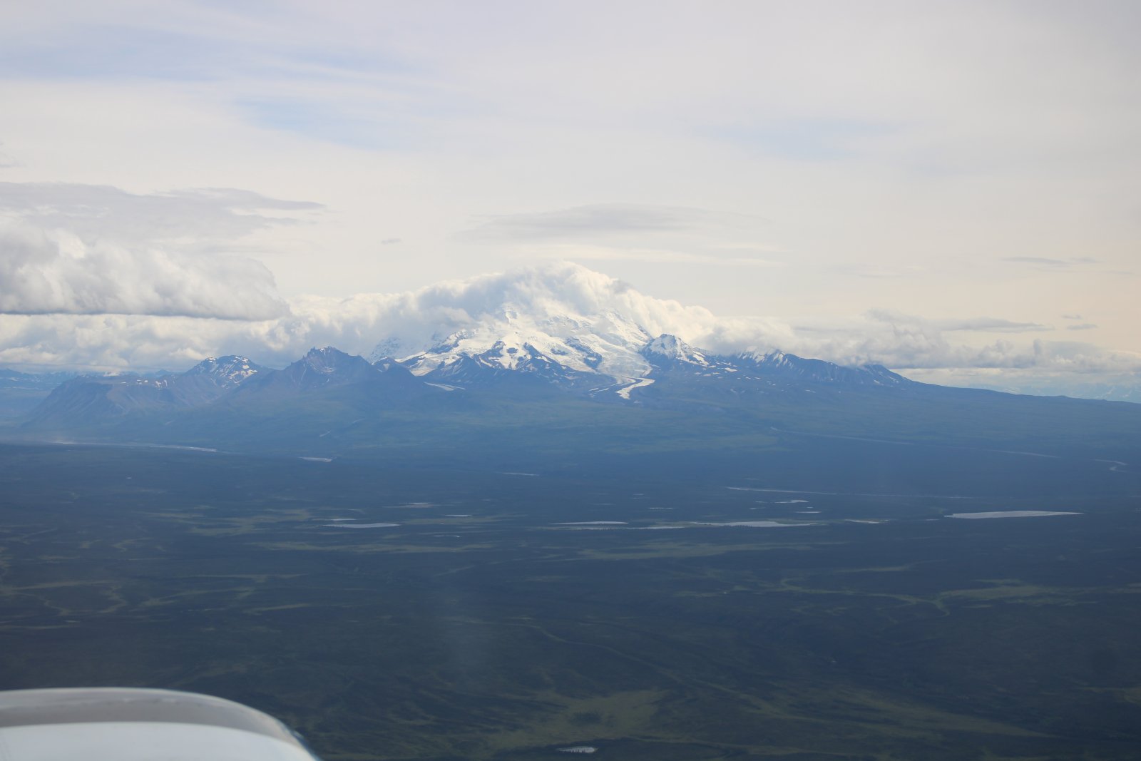
That's probably Mount Sanford underneath that mountain-shaped cloud. Mount Sanford is a 16,237 foot mountain!
|
| |
 |
|
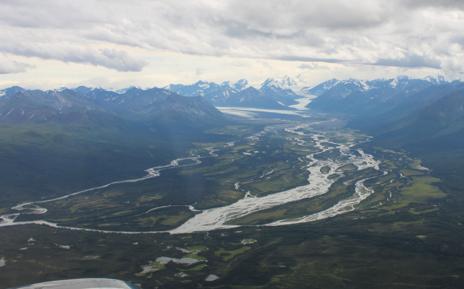
| Nelchina Glacier on the left and Sylvester Glacier on the right. |
| |
 |
|
|
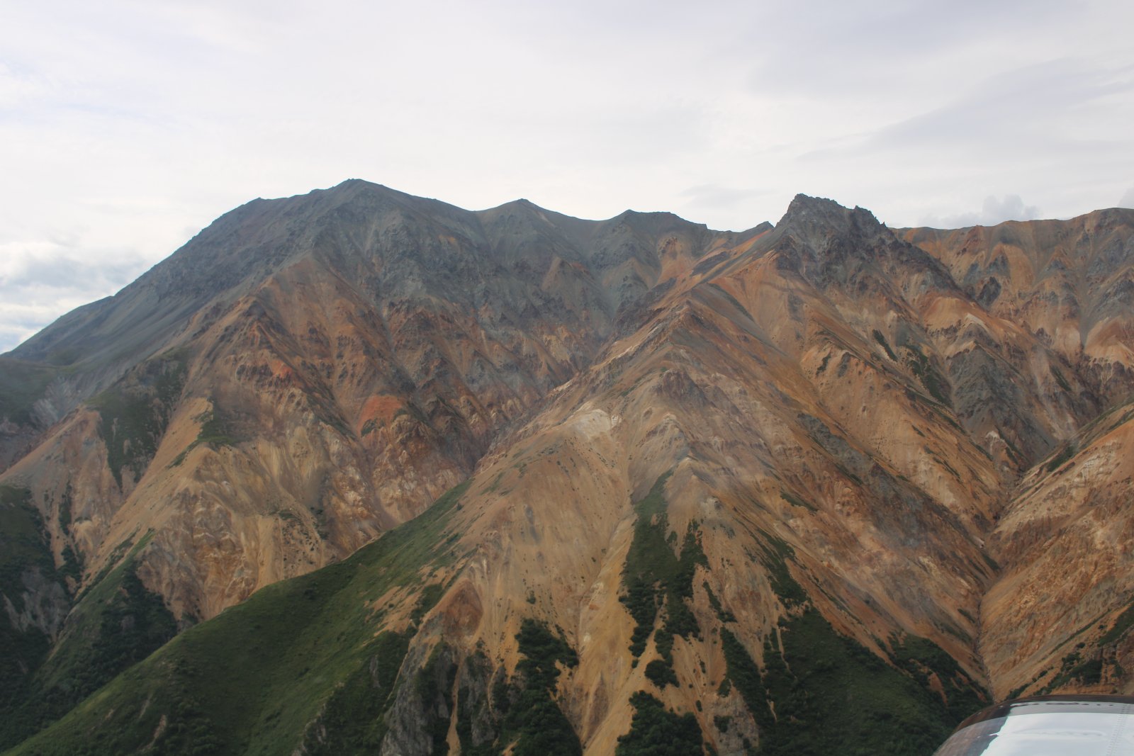
Sheep Mountain. I've never seen a mountain with colors like this. It almost doesn't look real. It looks like a painting.
|
| |
 |
|
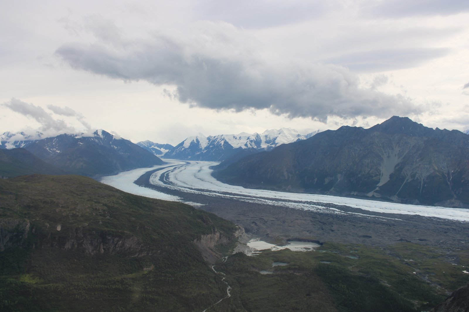
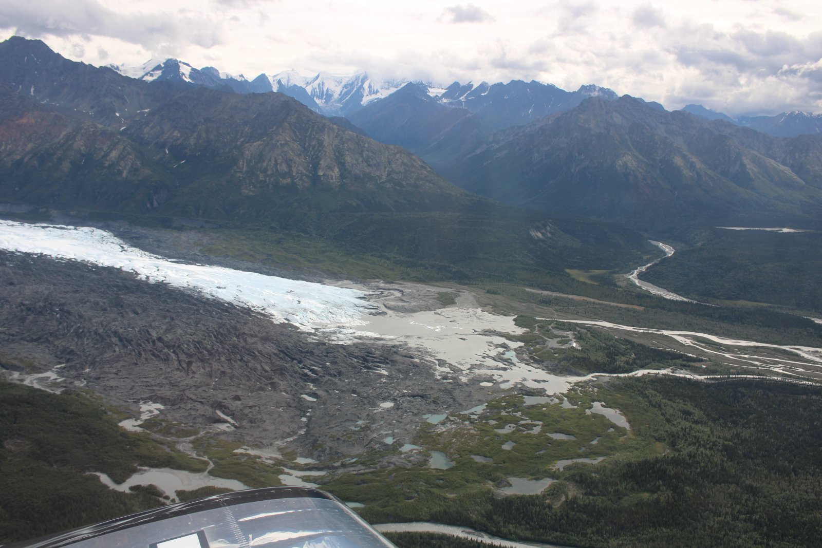
| Matanuska Glacier. |
| |
 |
|
|
Matanuska gladcer peters out and turns to mud flat.
|
| |
 |
|
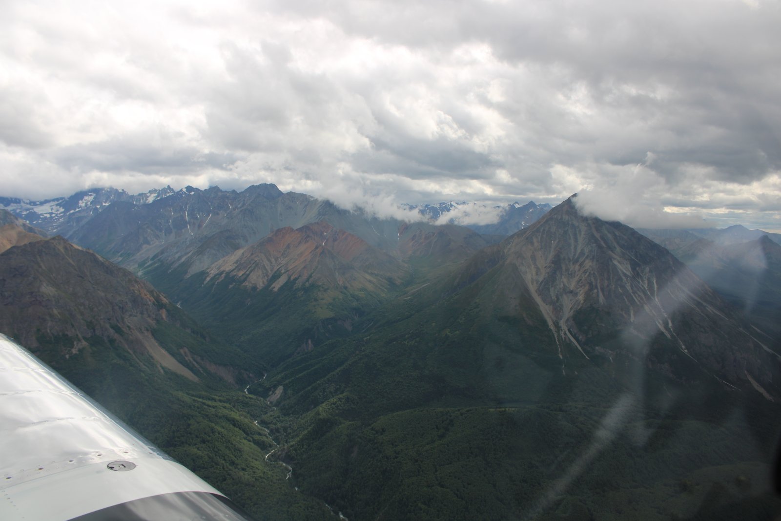
| Looking south at the Chugach Mountains. Many are over 10,000 feet high. |
| |
 |
|
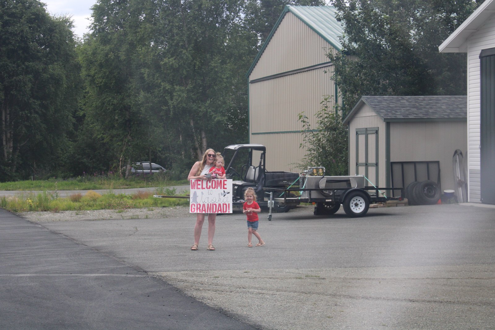
| I arrive at Wolf Lake Airport, Alaska! It took me four days of flying all day to get here from Maryland. That's my youngest daughter Maggie with her little girls Parker and Zoey. |
| |
 |
|
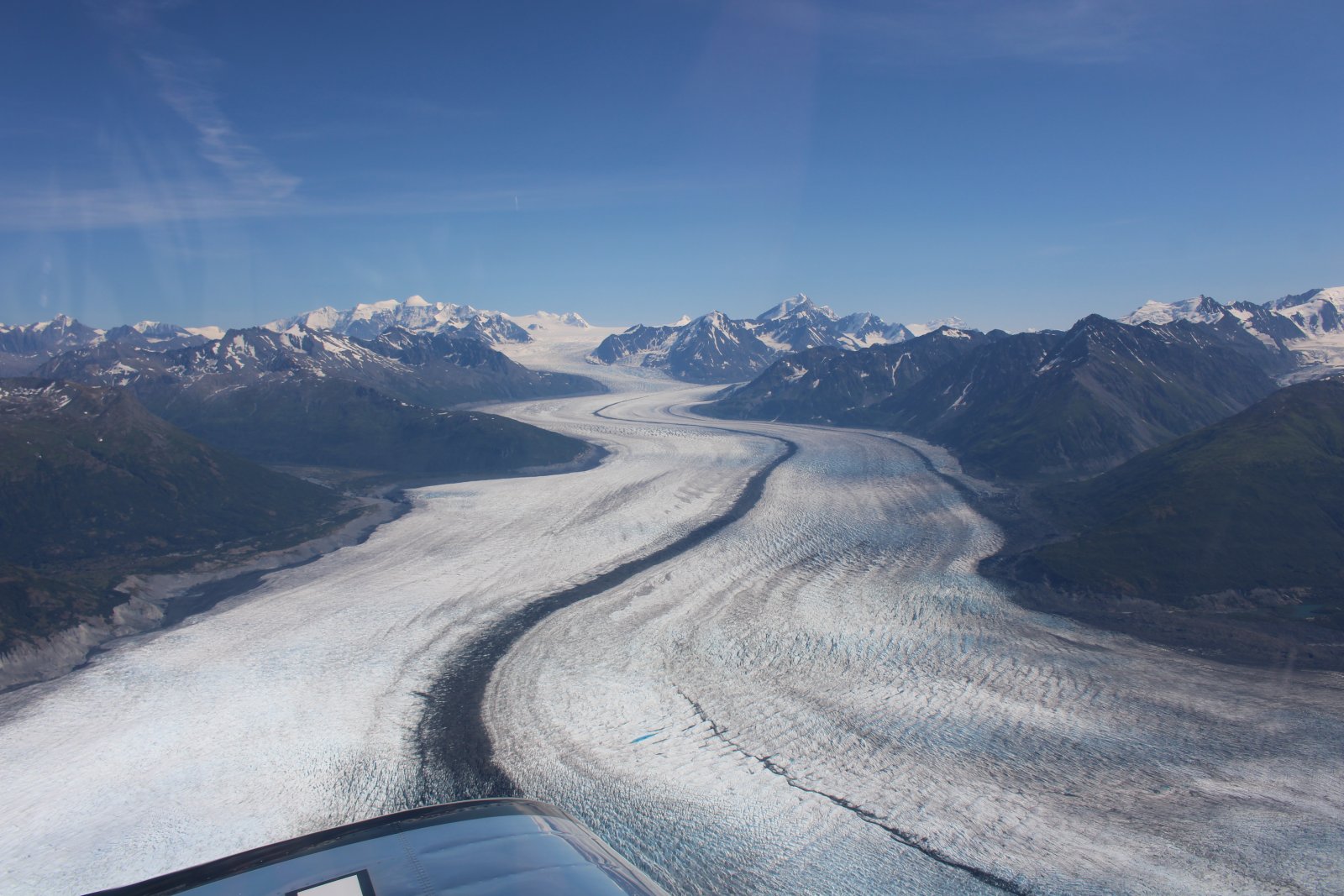
| Knik Glacier, only 15 minutes away from my base at Wolf Lake Airport. |
| |
 |
|
|
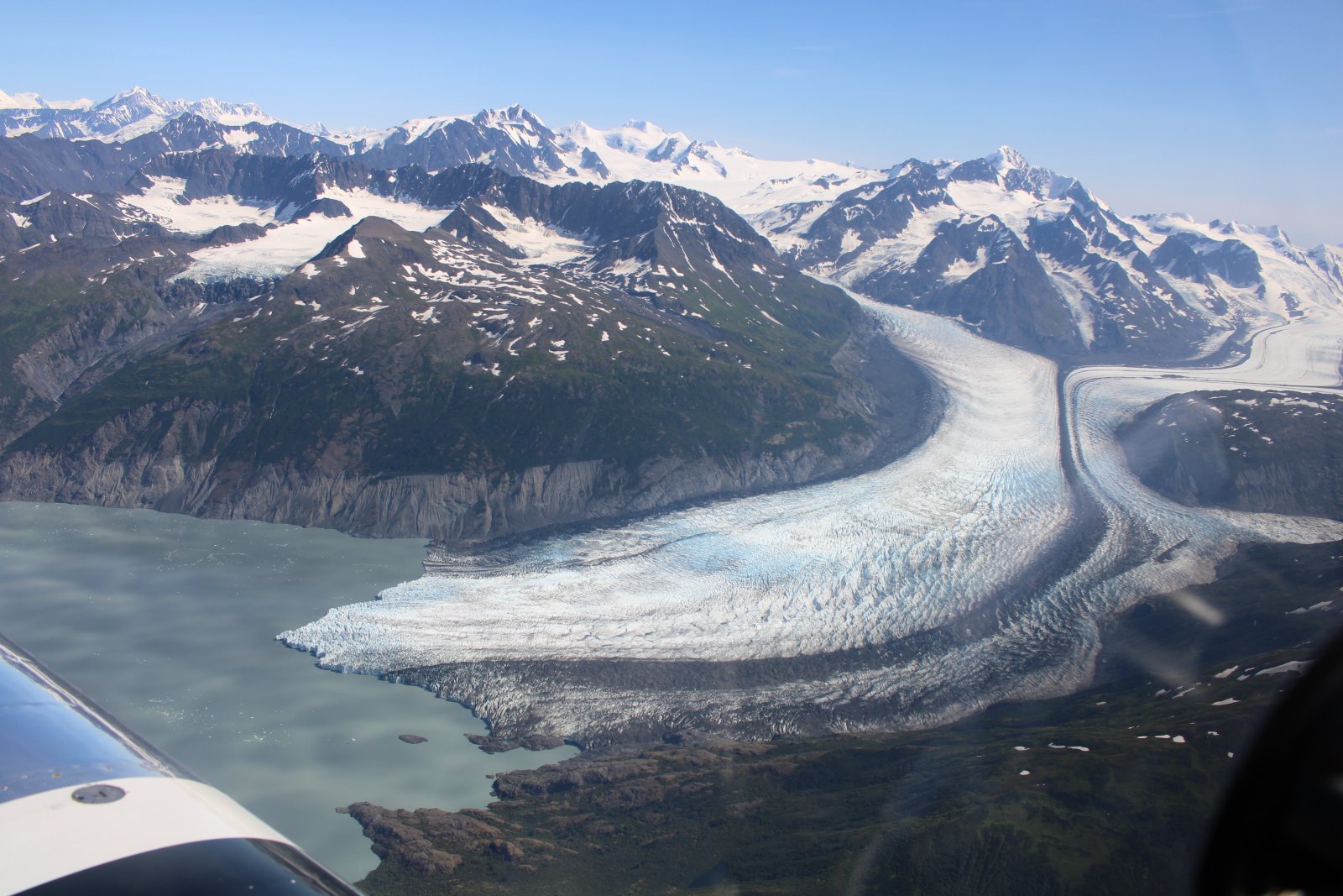
More glaciers south of Knik Glacier.
|
| |
 |
|
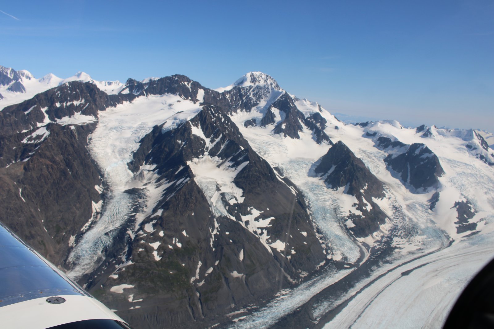
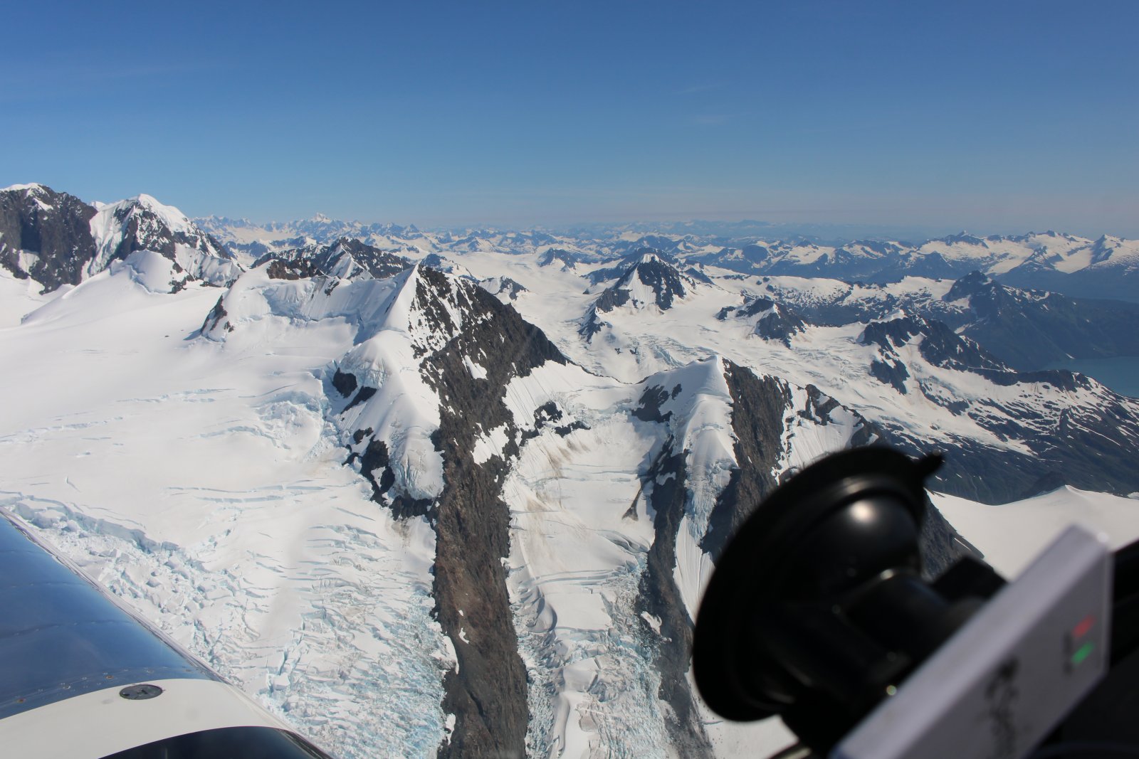
| Flying through a snow-covered mountain pass south of Knik Glacier. |
| |
 |
|
|
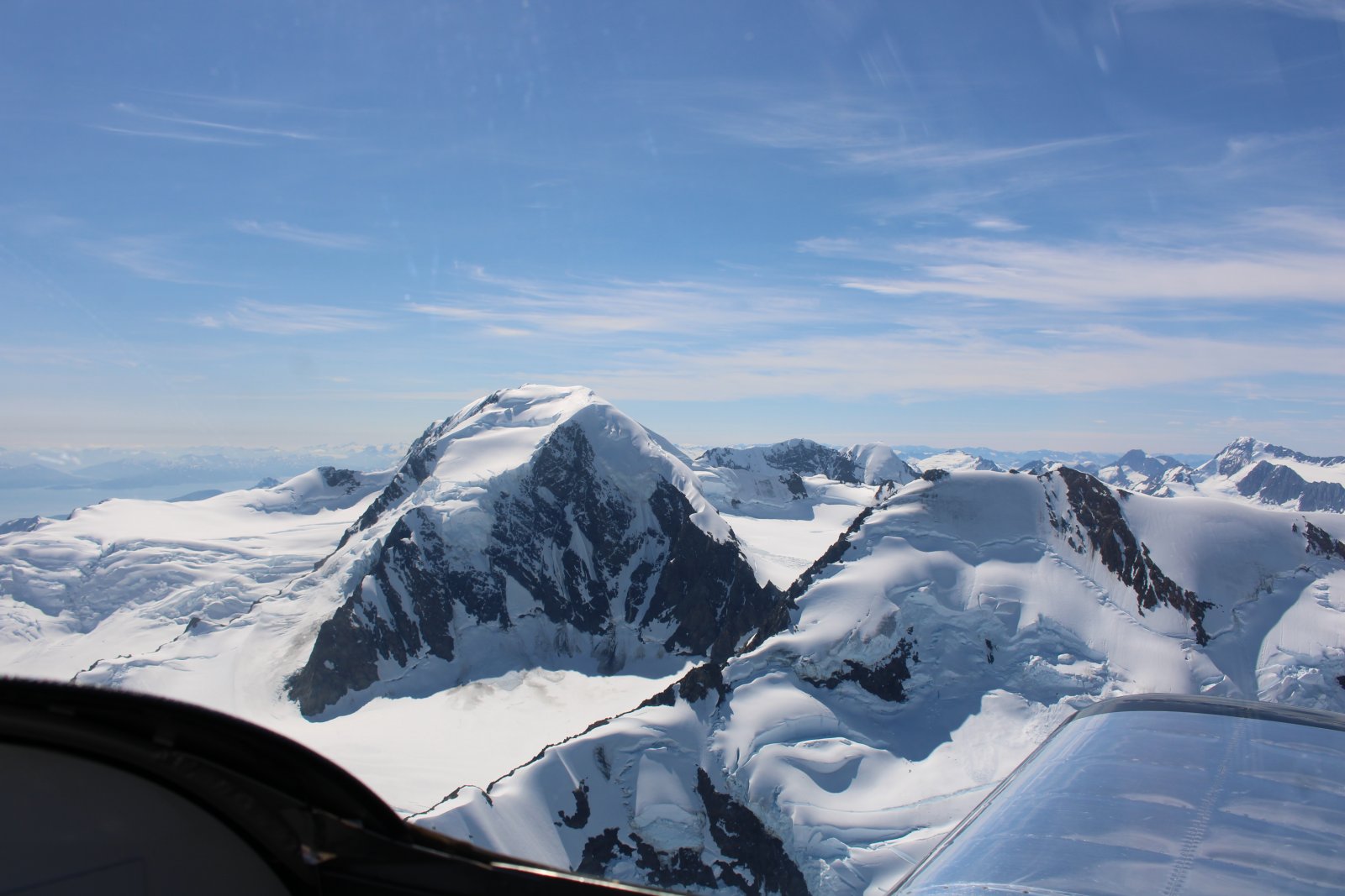
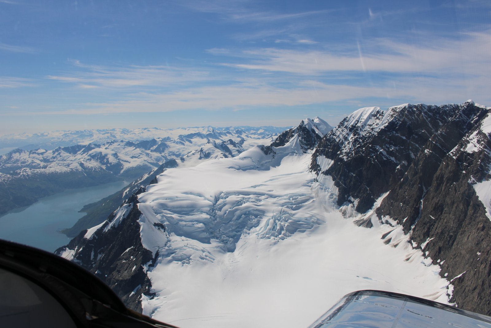
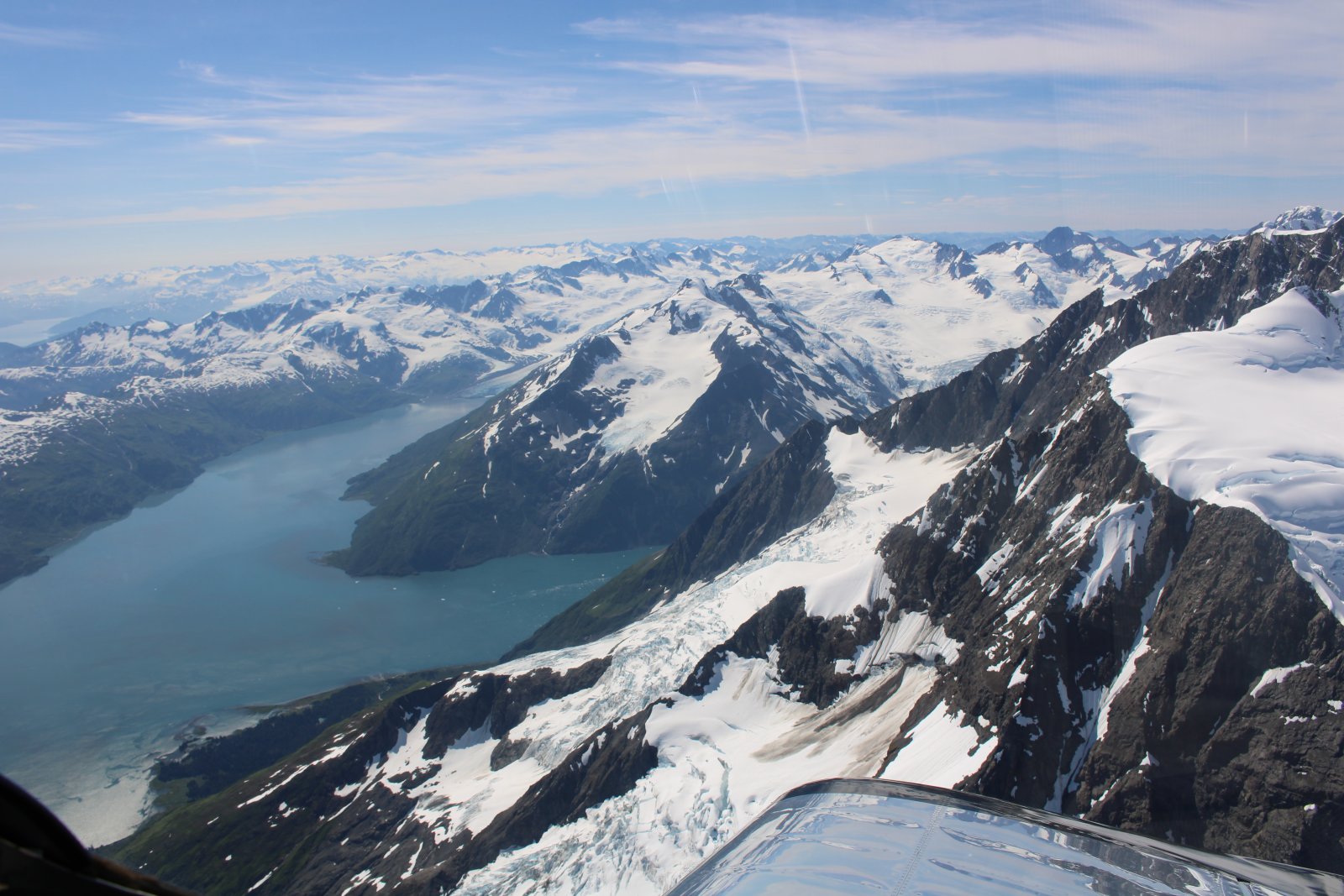
Remember, this is August.
|
| |
 |
|
| |
| |
 |
|
| |
| |
 |
|
| The water is all part of Prince William Sound. |
| |
 |
|
|
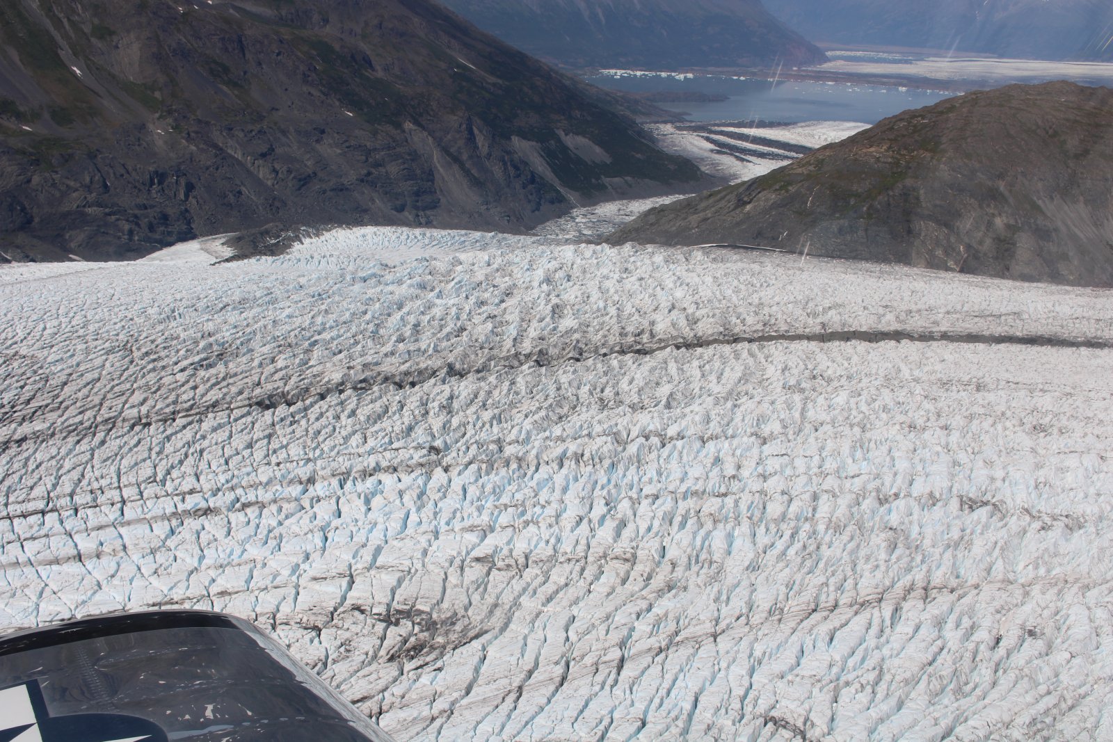
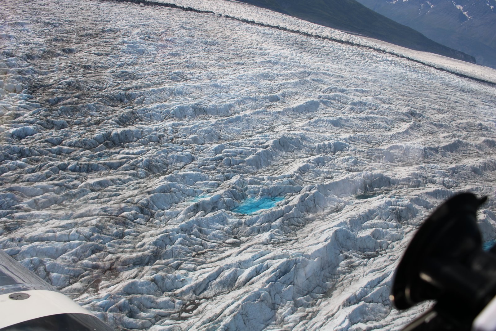
Jagged glacier ice.
|
| |
 |
|
| |
| |
 |
|
|
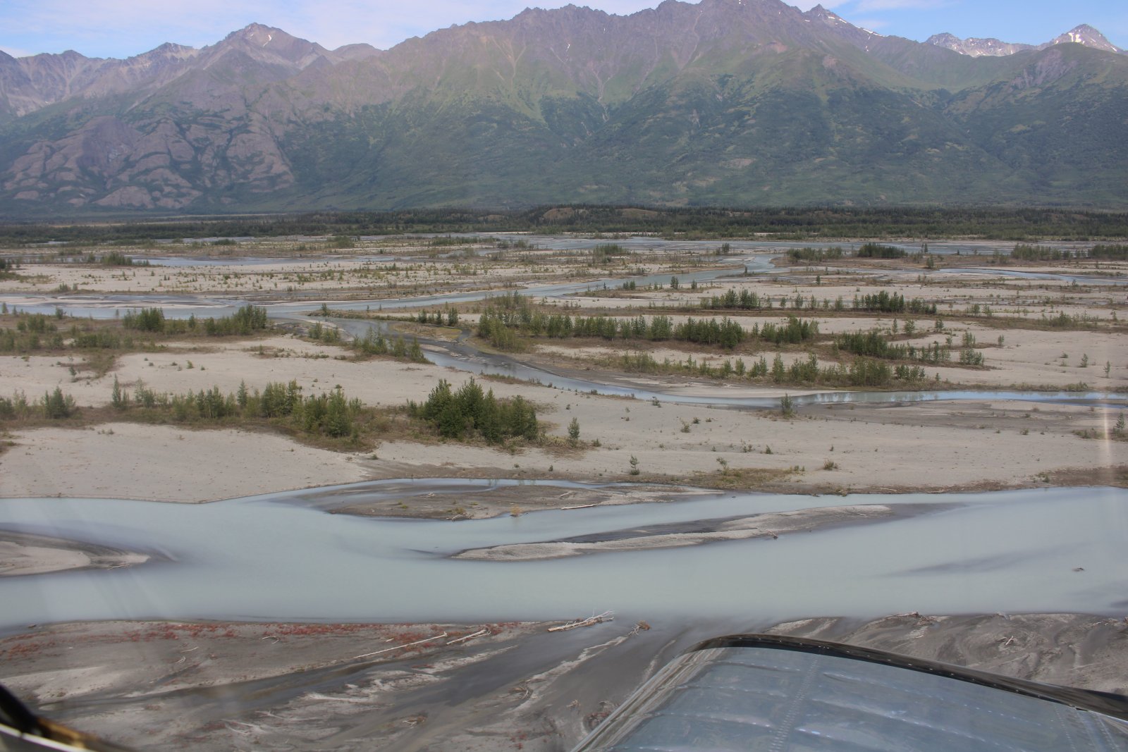
The braided Knik River.
|
| |
 |
|
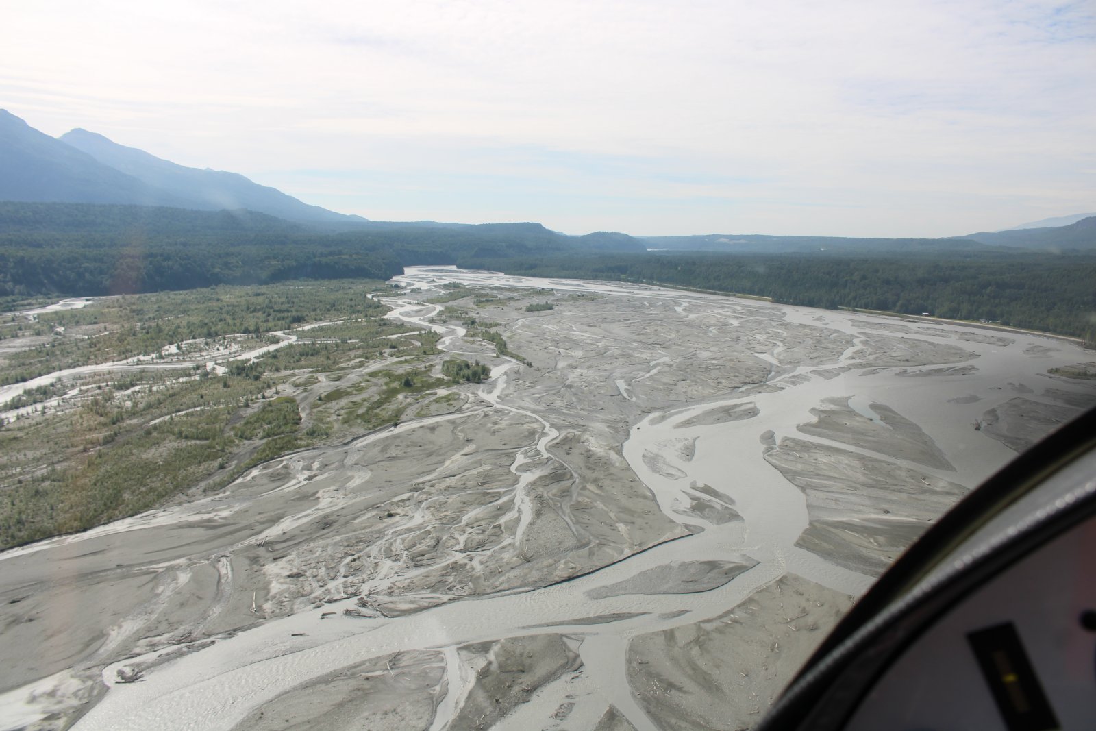
| Matanuska River. |
| |
 |
|
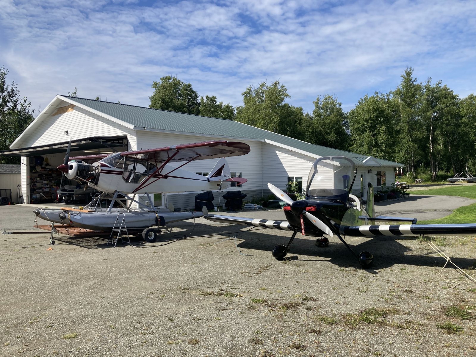
| Ray, a resident of Wolf Lake Airport Community. graciously let me tie down outside his hangar home. Ray was doing some work on his Super Cub floatplane. |
| |
 |
|
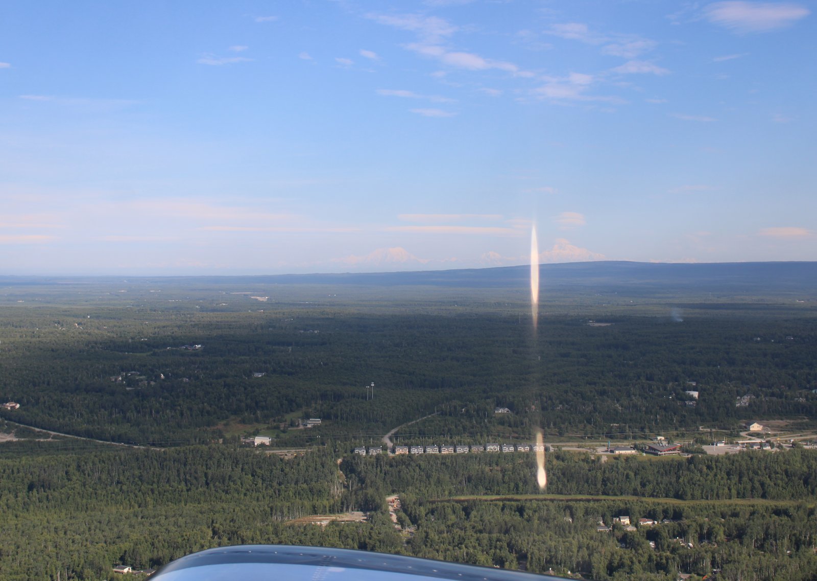
| Why did I post this non-descript picture? Look closer at the center of the picture. You can see three snow-covered mountains in the distance. At right is Mount Denali and at left is Mount Foraker. The smaller Mount Hunter is in the middle. Those mountains are 100nm away!!!! This picture was taken soon after I took off from Wolf Lake. |
| |
 |
|
|
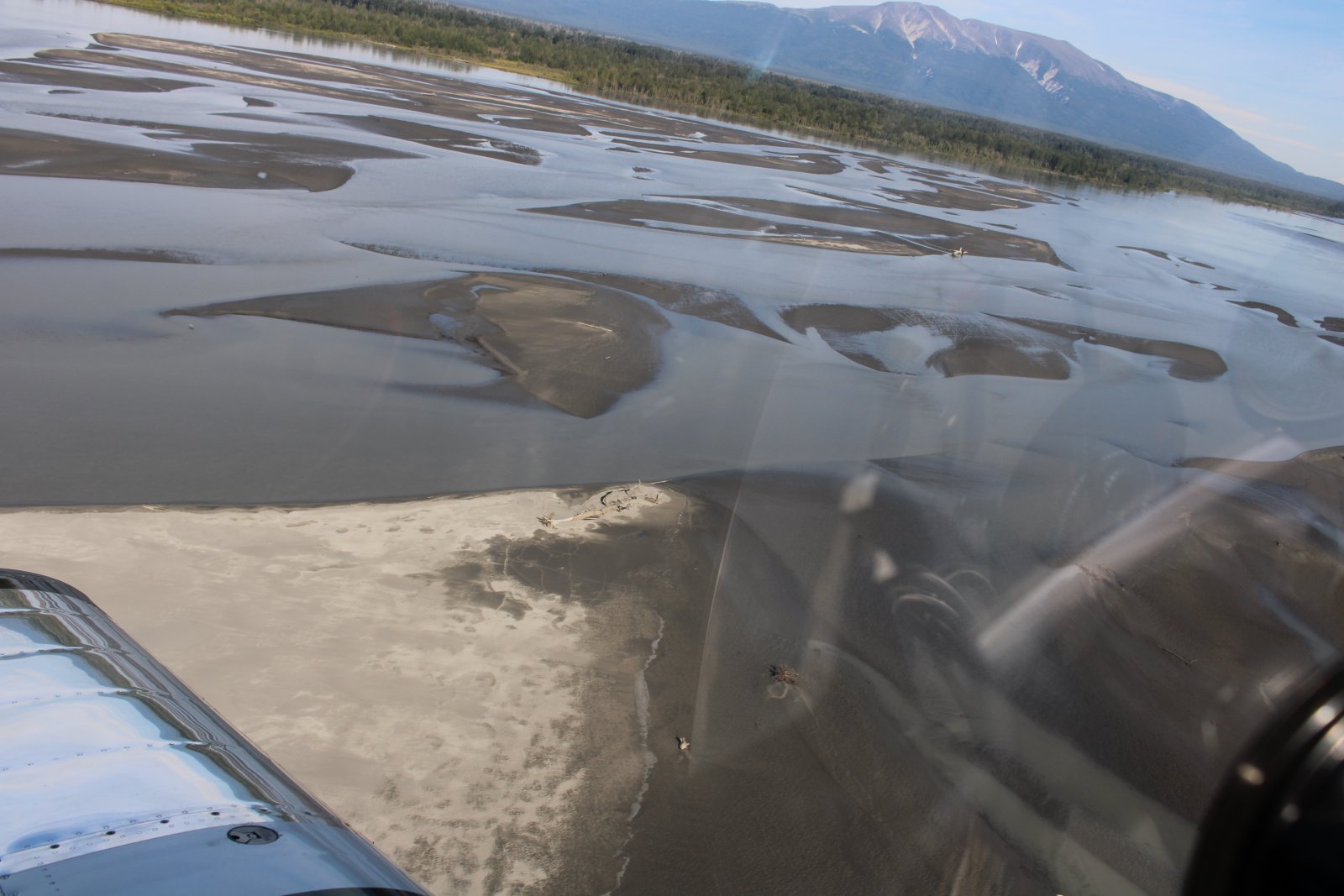
Having fun down low over the Susitna River heading north.
|
| |
 |
|
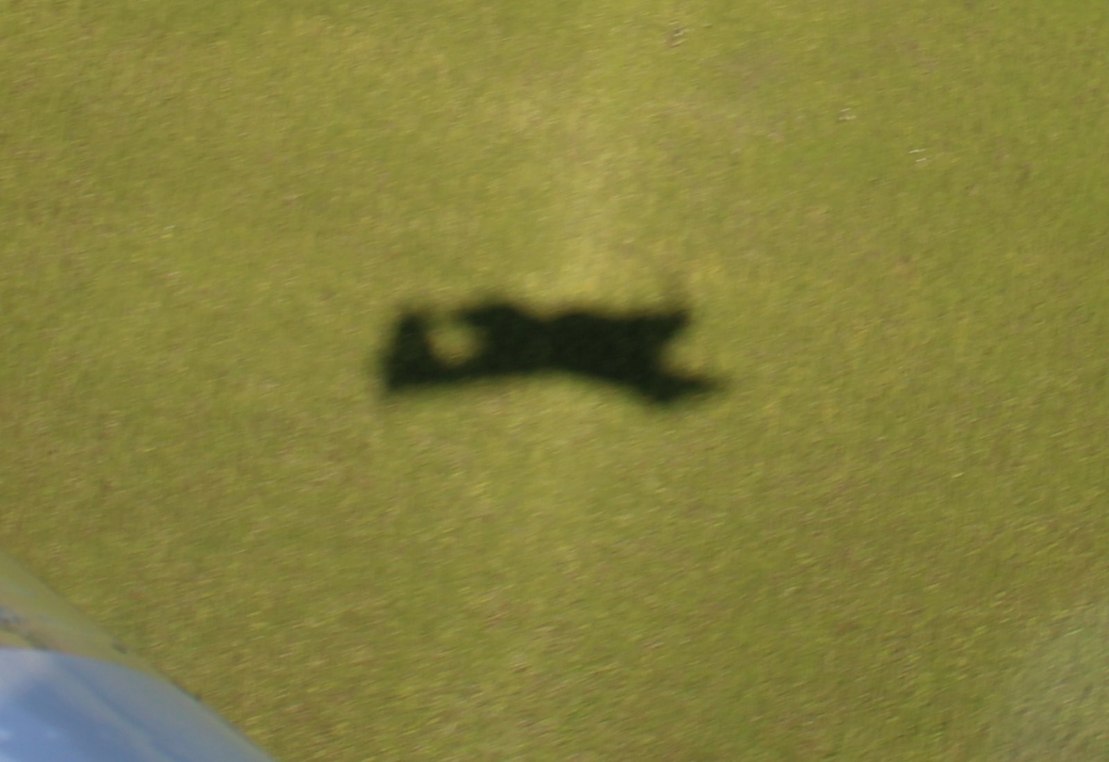
| I'm being shadowed! |
| |
 |
|
|
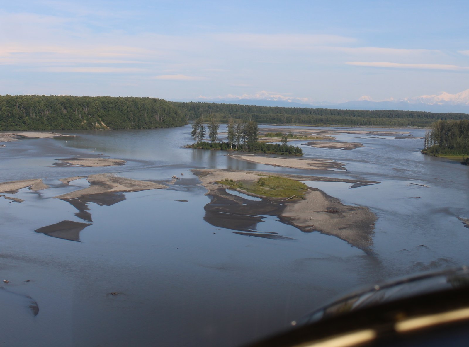
More Susitna River.
|
| |
 |
|
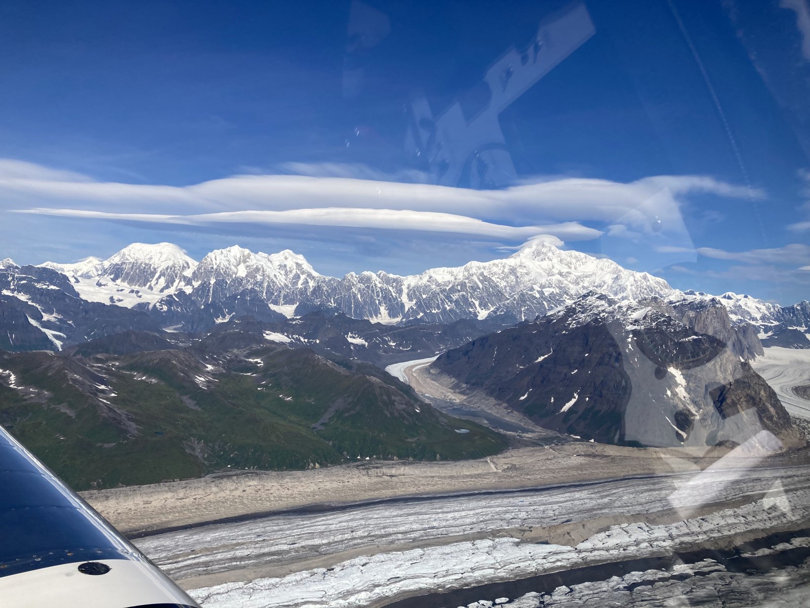
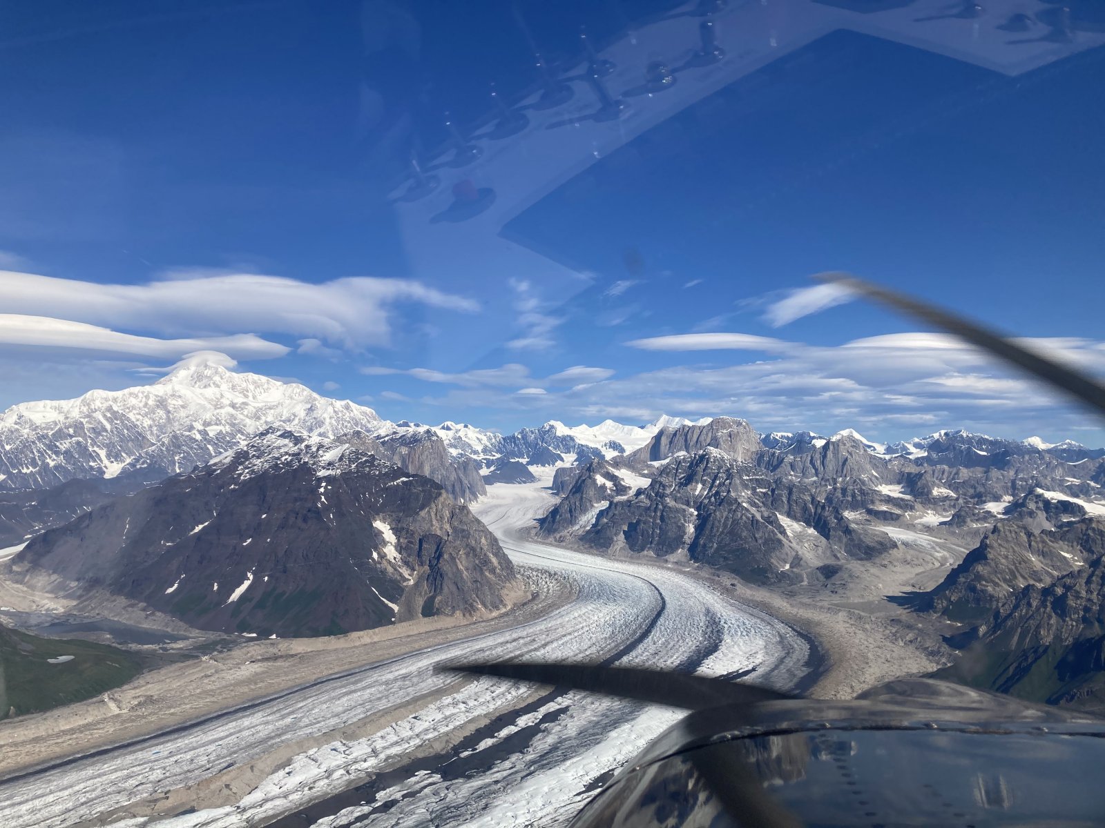
| Denali (at right) gets bigger in the windscreen. |
| |
 |
|
|
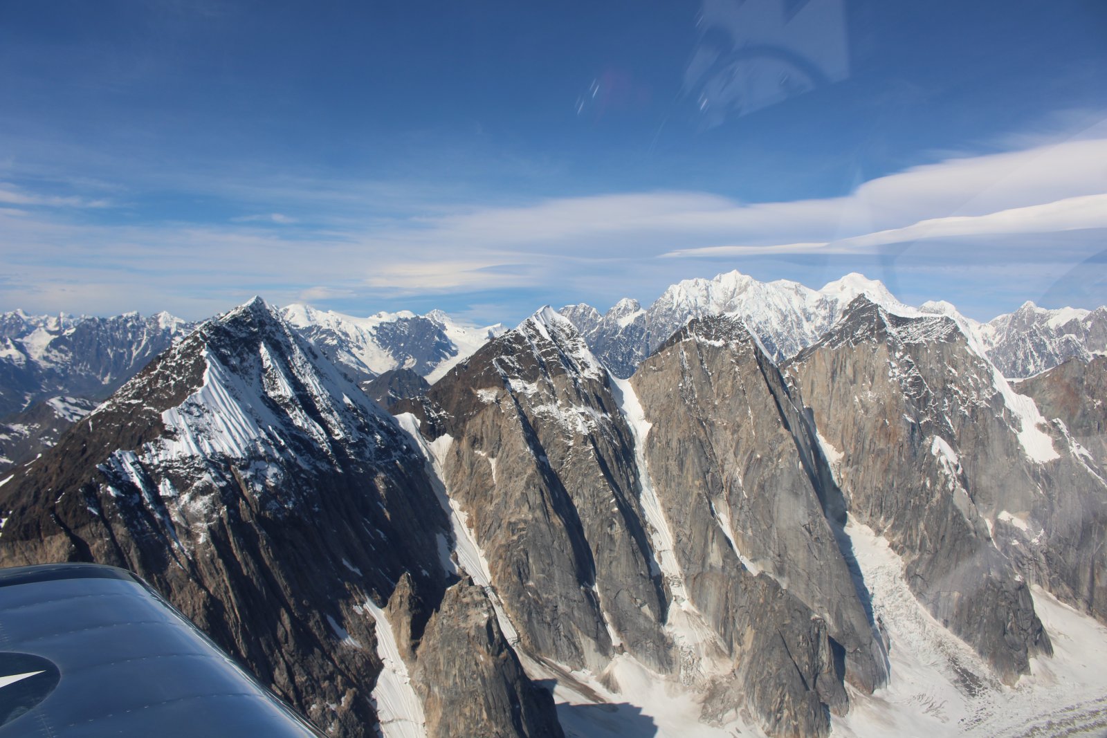
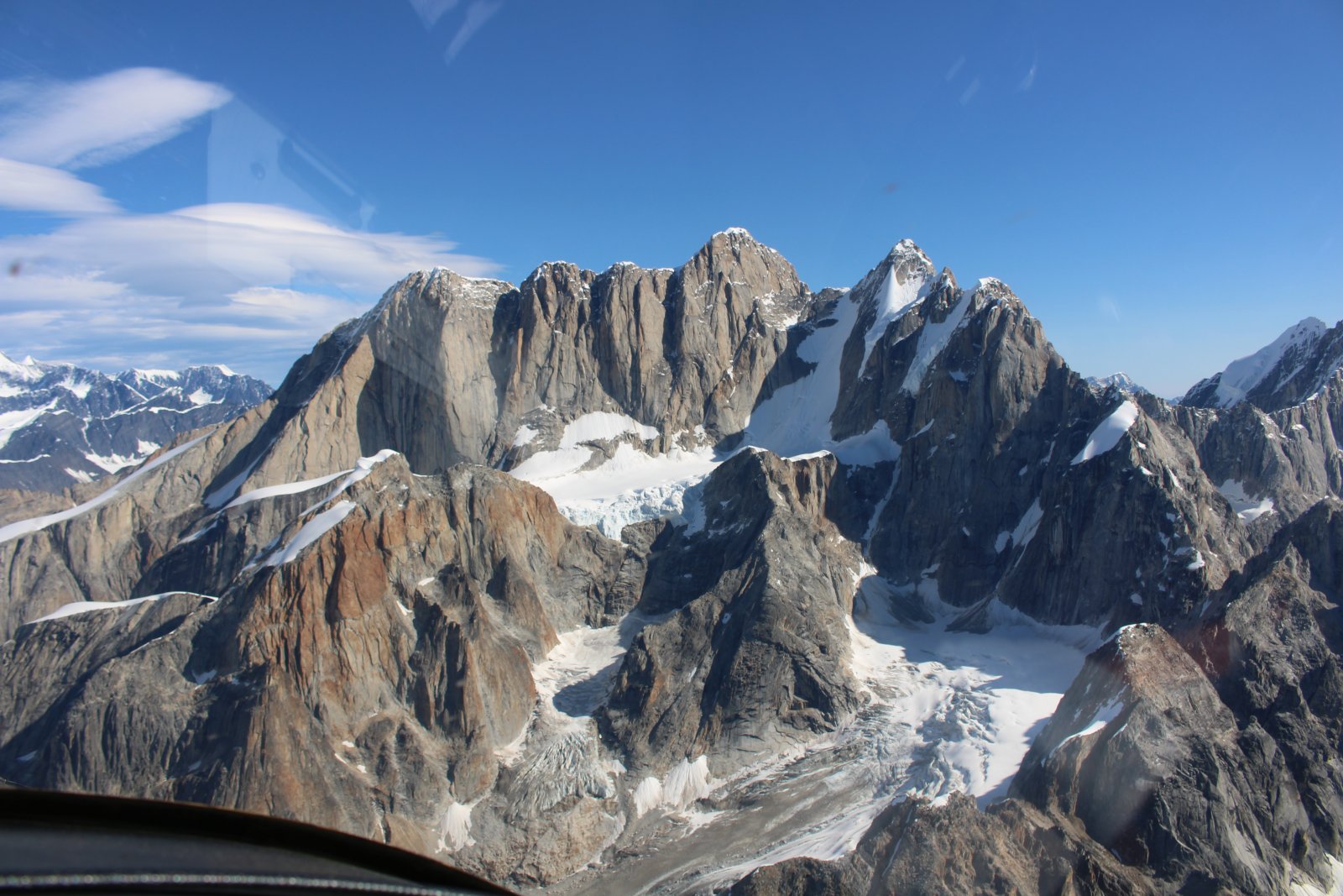
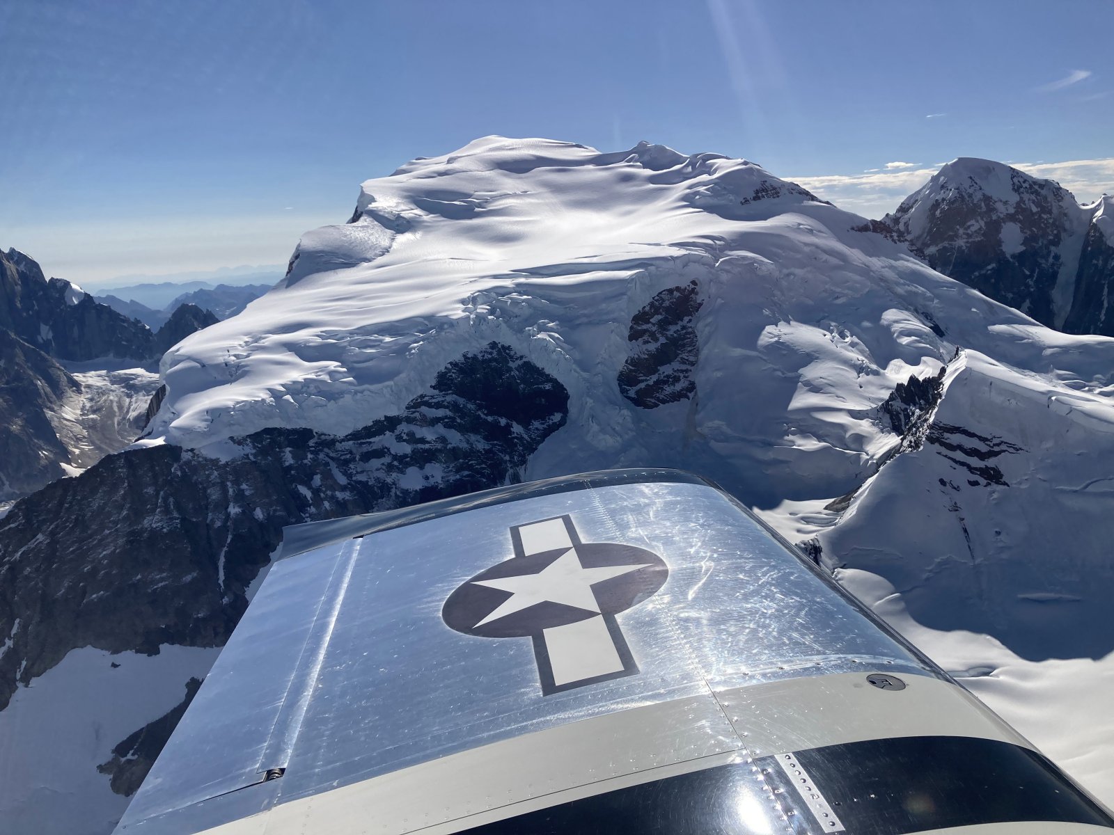
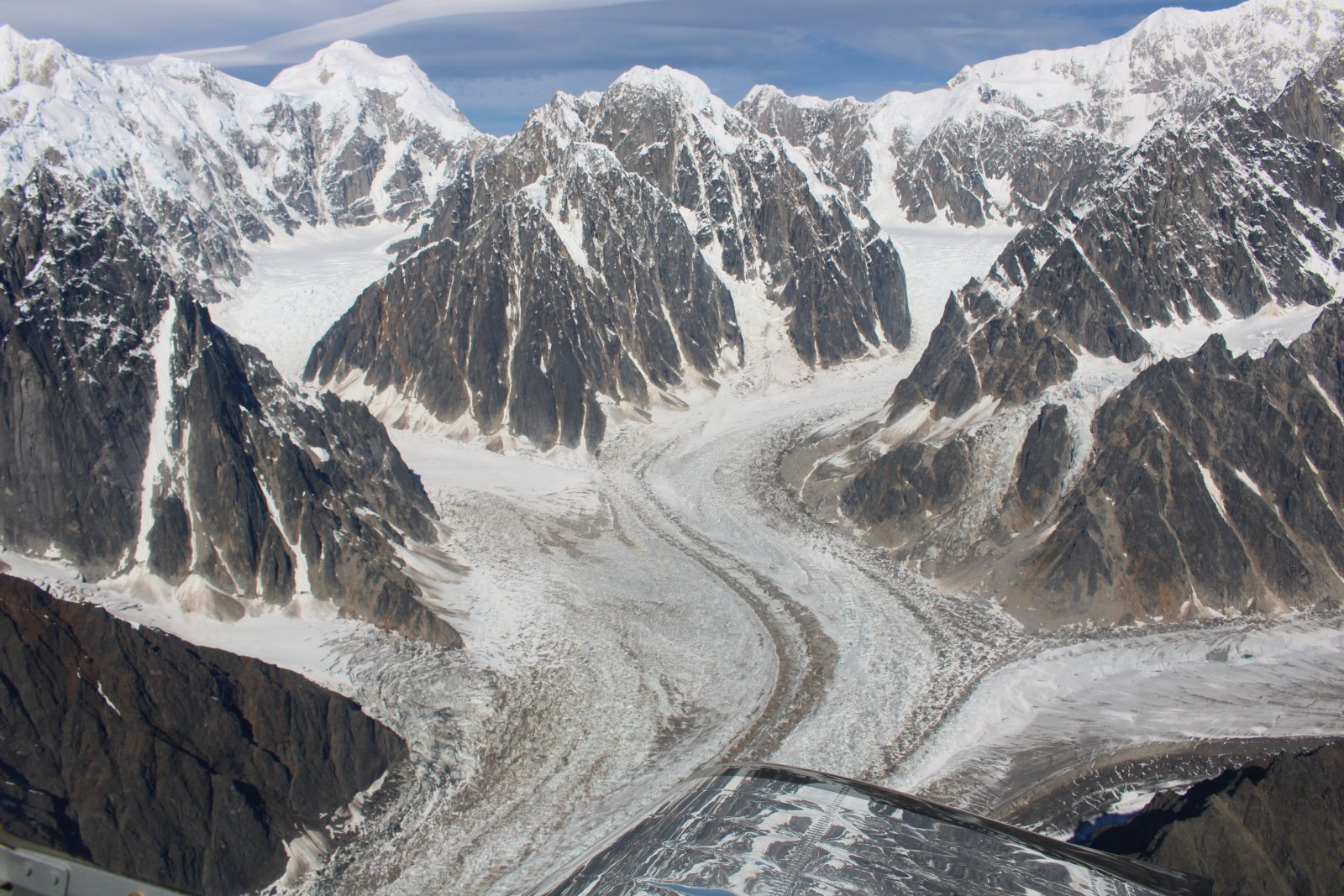
Following Ruth Glacier up the mountain.
|
| |
 |
|
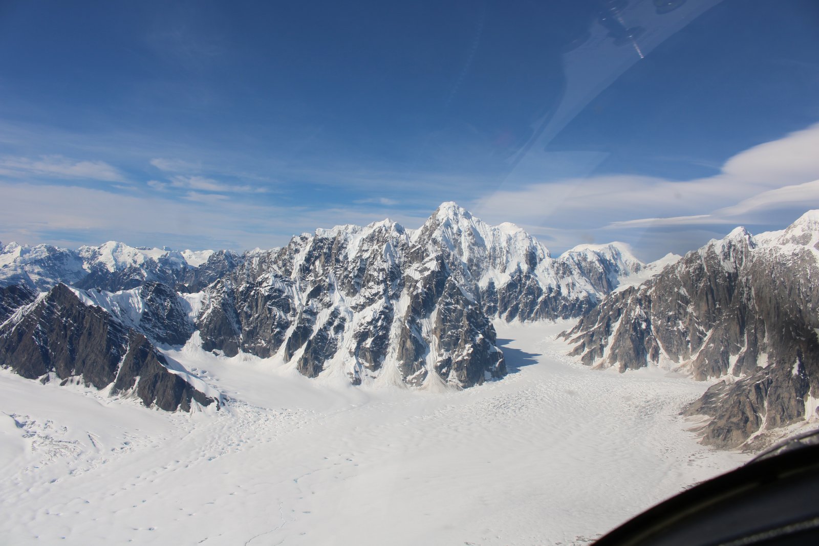
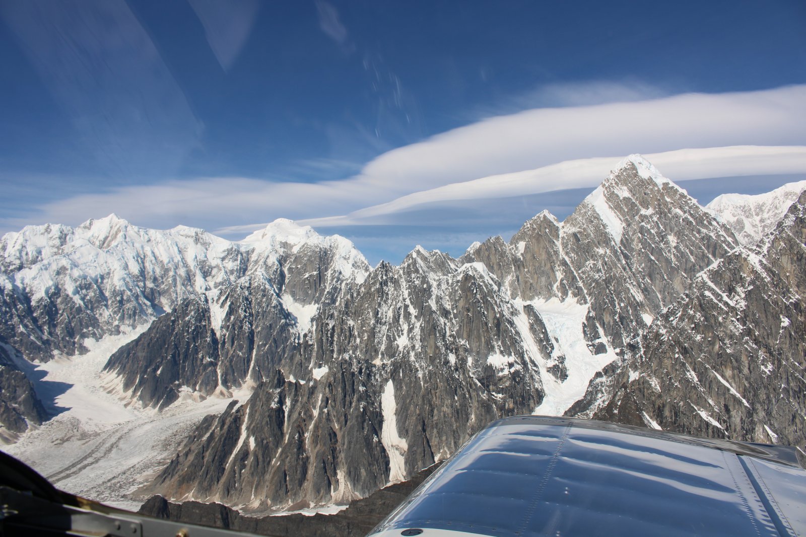
| Surprisingly, the air was very smooth and calm in the mountains. |
| |
 |
|
|
|
| |
 |
|
| |
| |
 |
|
|
|
| |
 |
|
|
|
| |
 |
|
| |
| |
 |
|
|
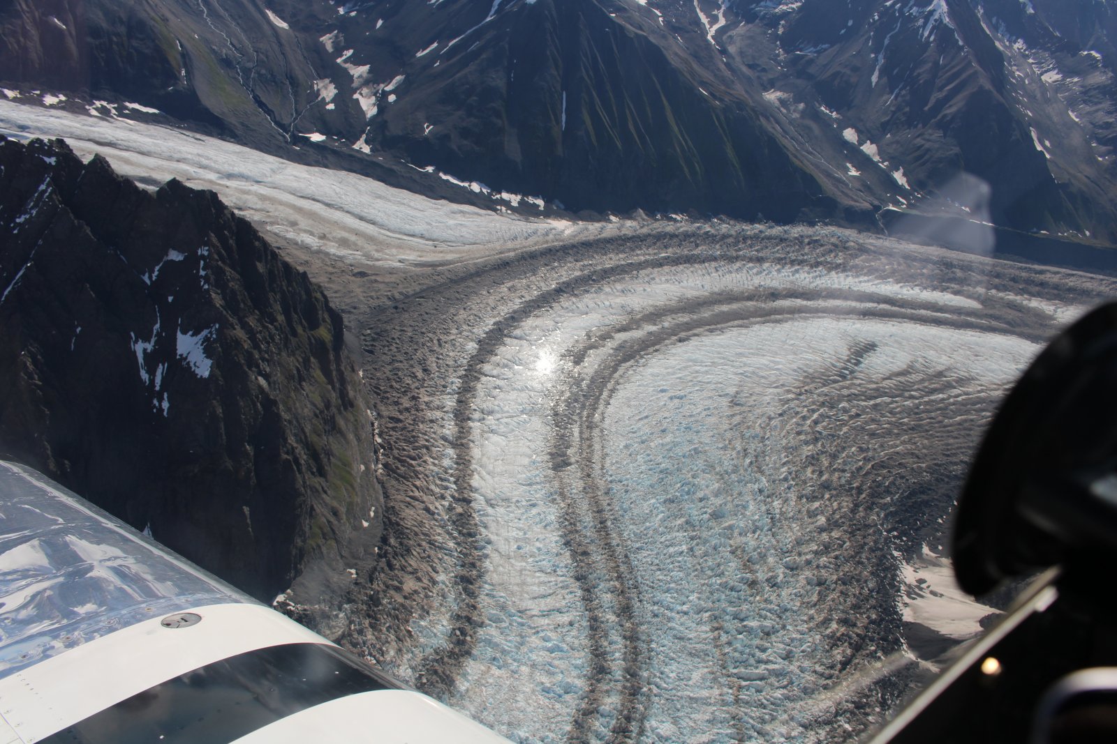
Looking down at the multi-colored glacier.
|
| |
 |
|
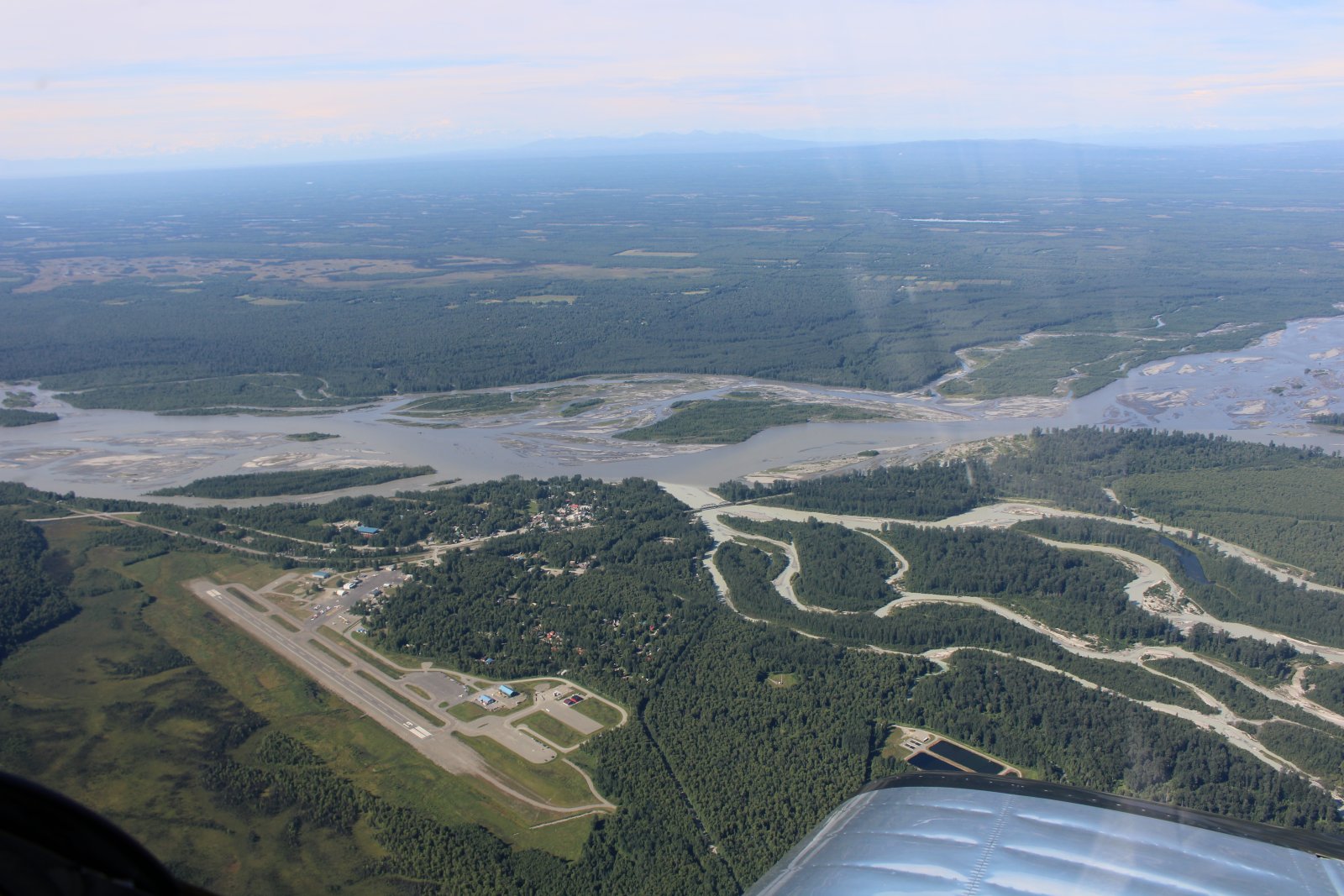
| Looking down at Talkeetna Airport, on the banks of the Susitna River. Talkeetna is the jumping off point for flightseeing and logistic flights to Denali. |
| |
 |
|
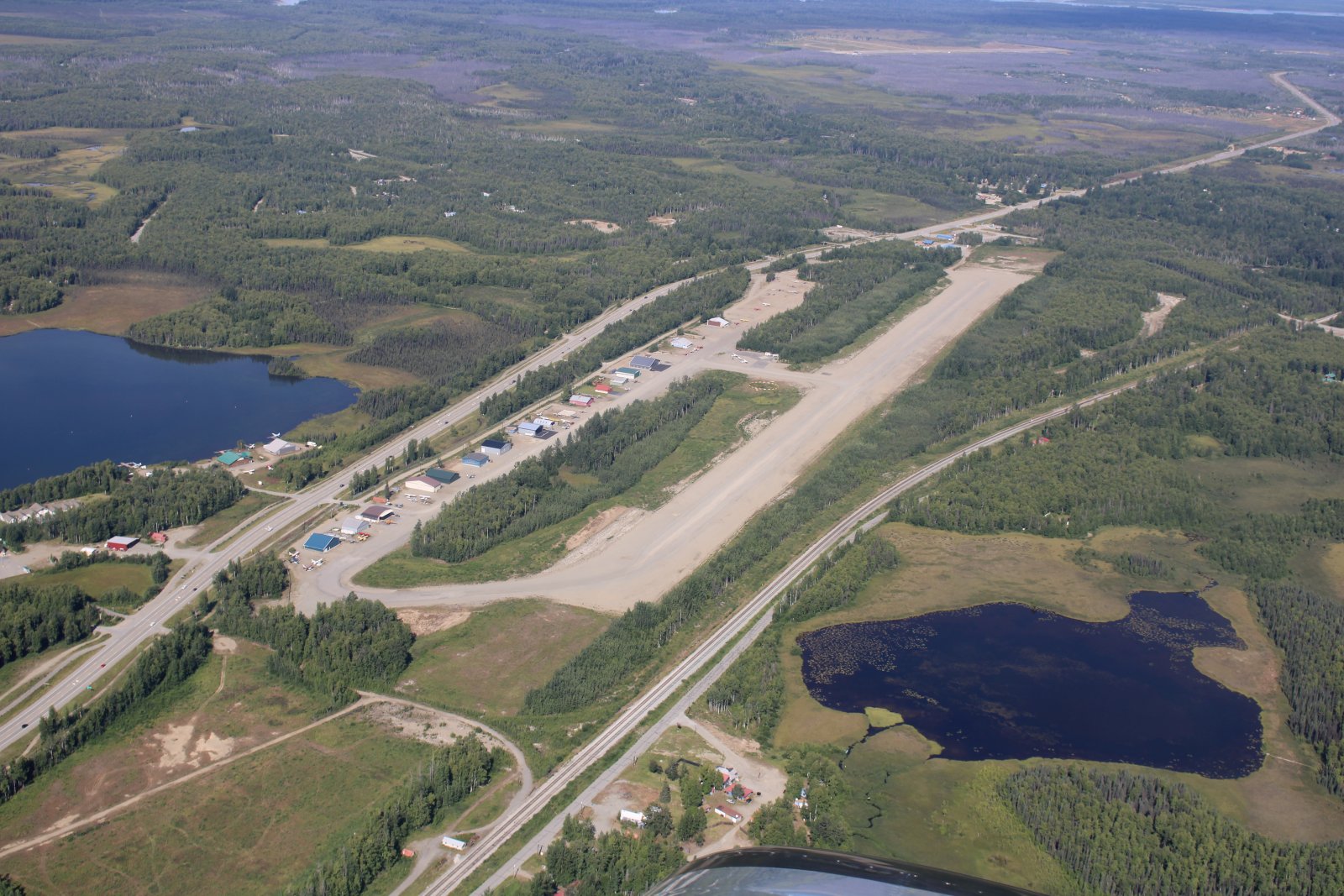
| Passing by Willow Airport with its gravel runway. Lowest fuel price in Alaska! |
| |
 |
|
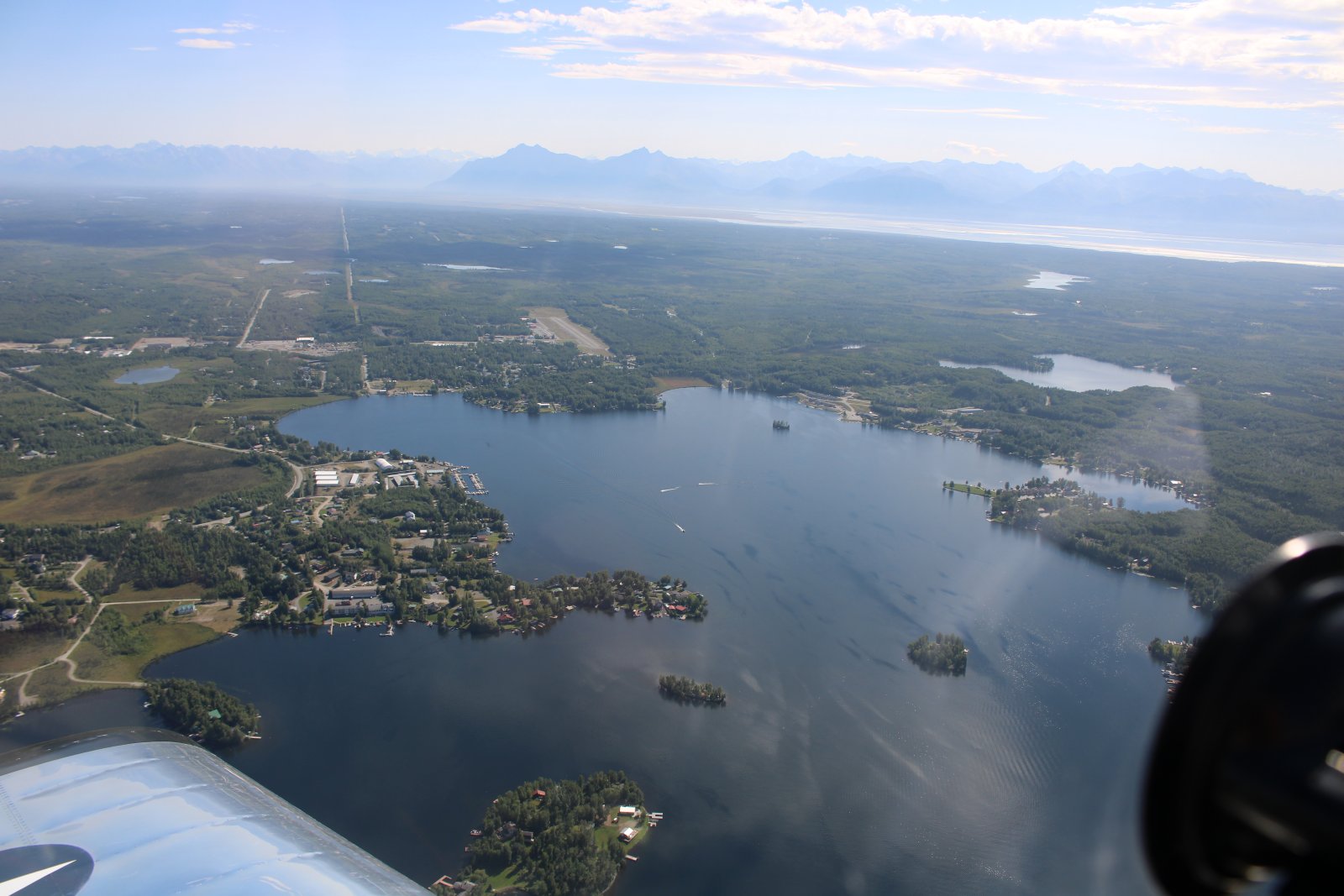
| Big Lake and at the top of the lake is Big Lake Airport, one of the few public GA airports in Alaska. There are a million private strips, though. |
| |
 |
|
|
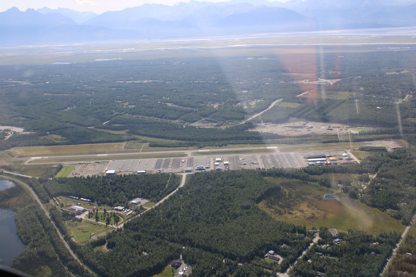
Another public GA airport: Wasilla Airport.
|
| |
 |
|
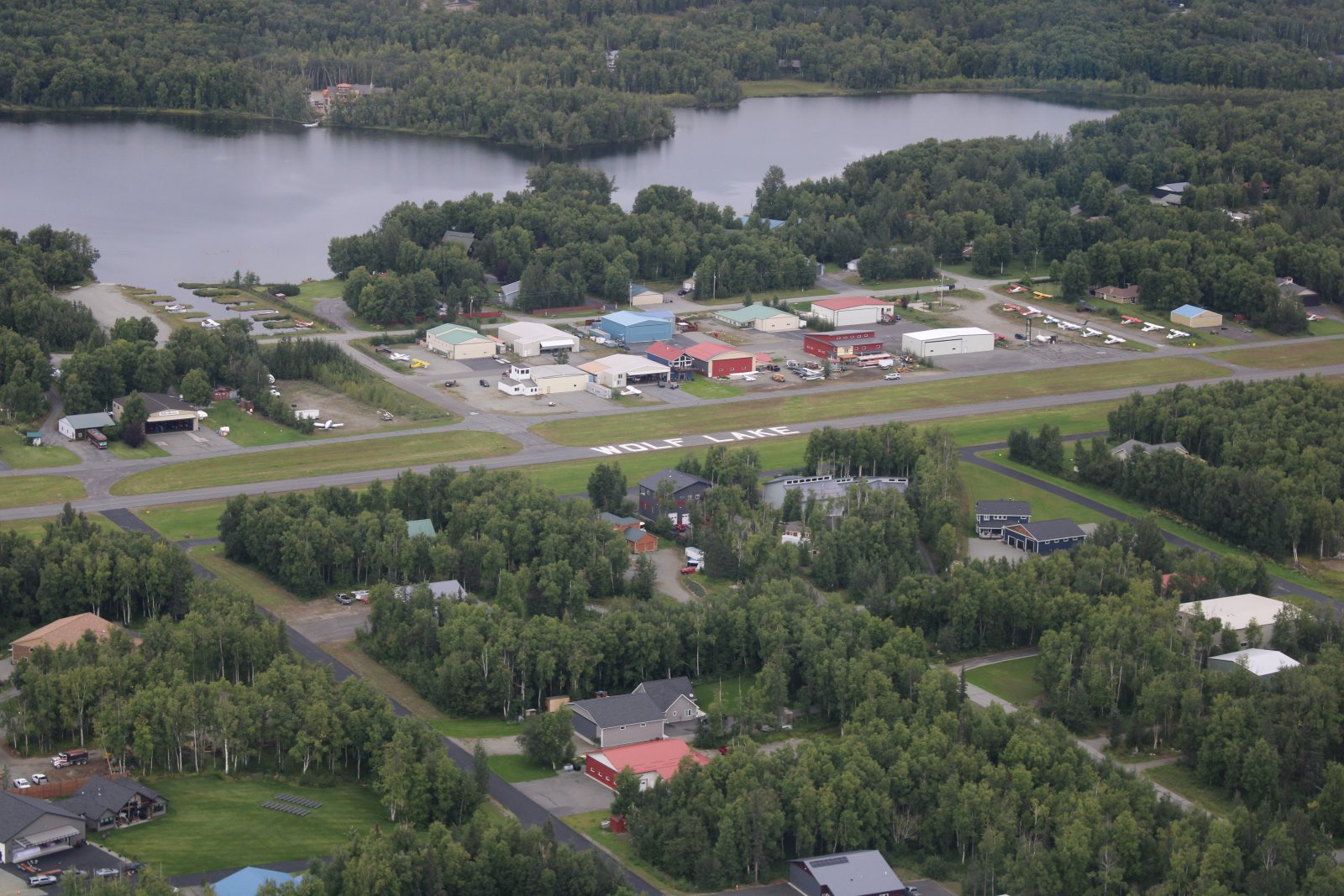
| Wolf Lake Airport is a private airport community. But they have self-service gas and anyone can land here and buy gas. They also have a couple of maintenance shops on the field. In addition to the long asphalt runway, you can land on the grass next to the asphalt runway. Or you can land on Wolf Lake's gravel strip (not pictured). Or if you are an amphibian or have floats, you can land on Wolf Lake at the top of the picture. |
| |
 |
|
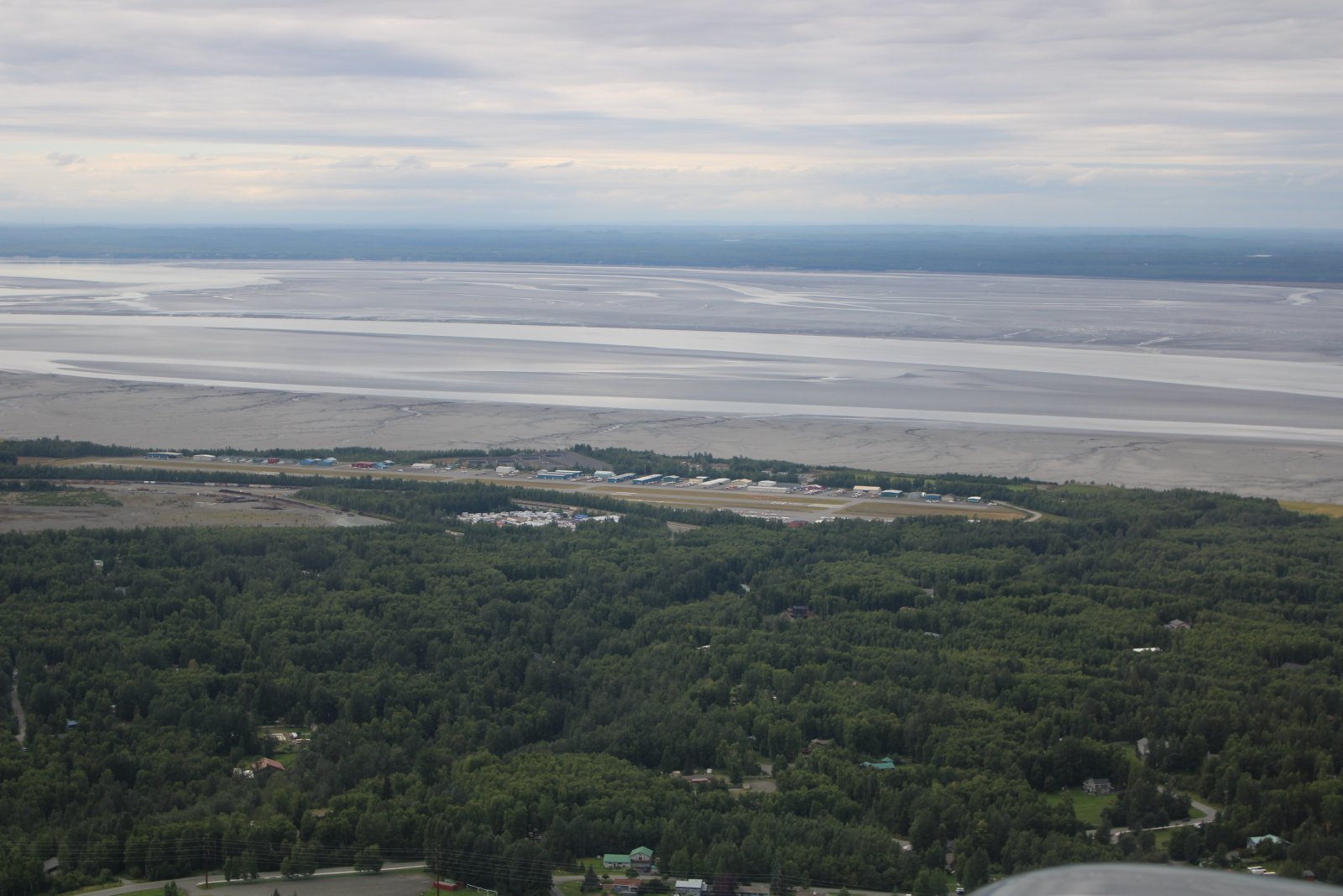
| Heading south towards Anchorage, passing another public GA airport: Birchwood. Beyond the mudflats in the distance is Knik Arm. |
| |
 |
|
|
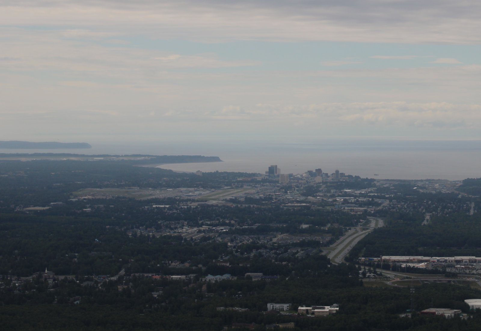
A blurry shot of Anchorage, biggest city in Alaska, with the very busy Merrill Airport just to the left of the city.
|
| |
 |
|
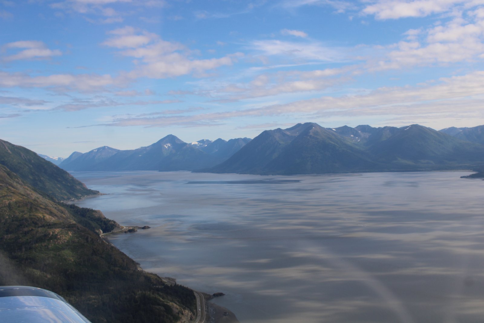
| Looking east at Turnagain Arm. |
| |
 |
|
|
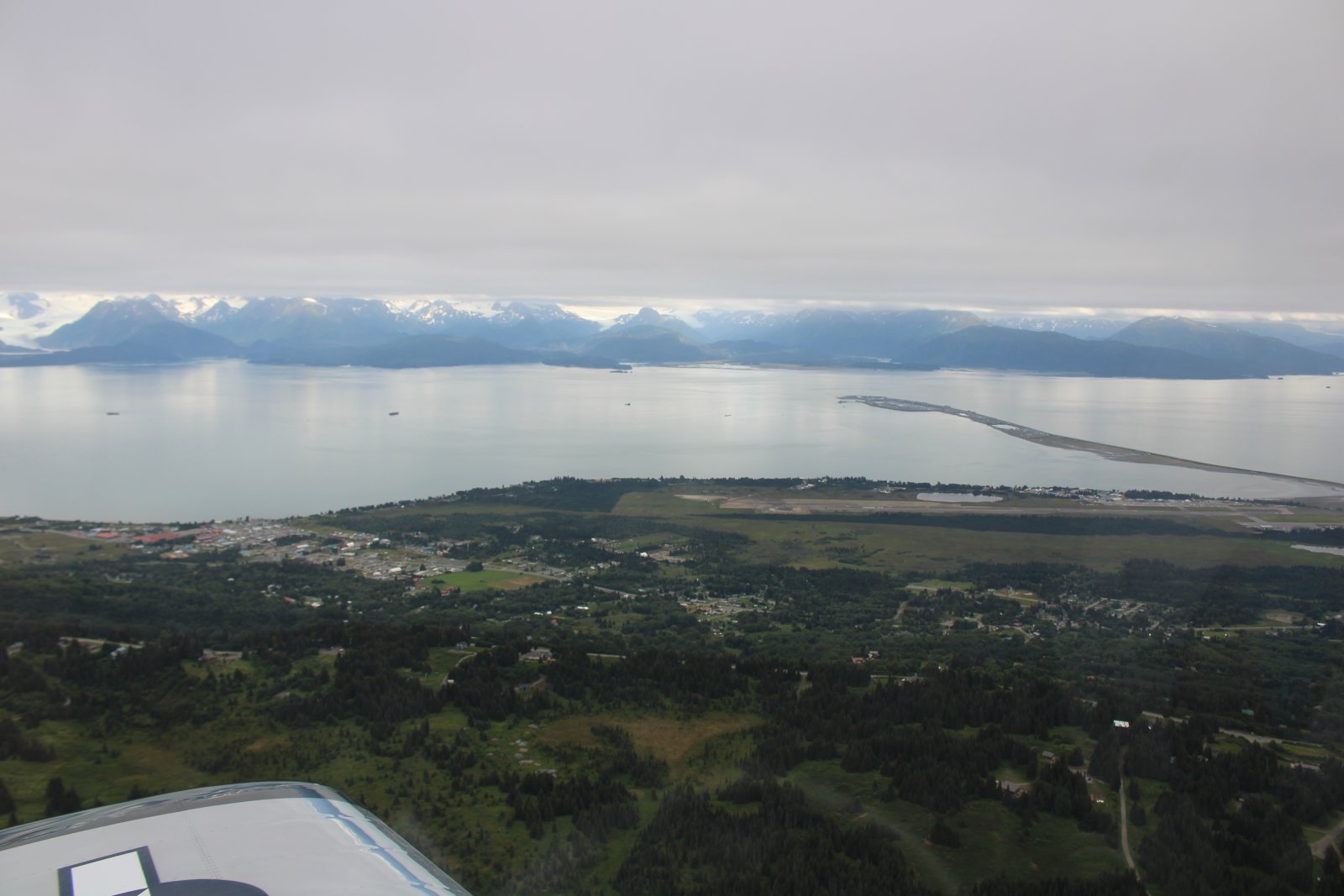
Way down south approaching Homer and Homer Airport with Kachemak Bay beyond.
|
| |
 |
|
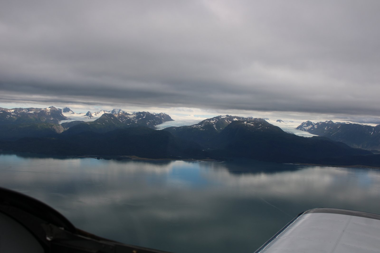
| Passing by the Kenai Mountains and three glaciers. |
| |
 |
|
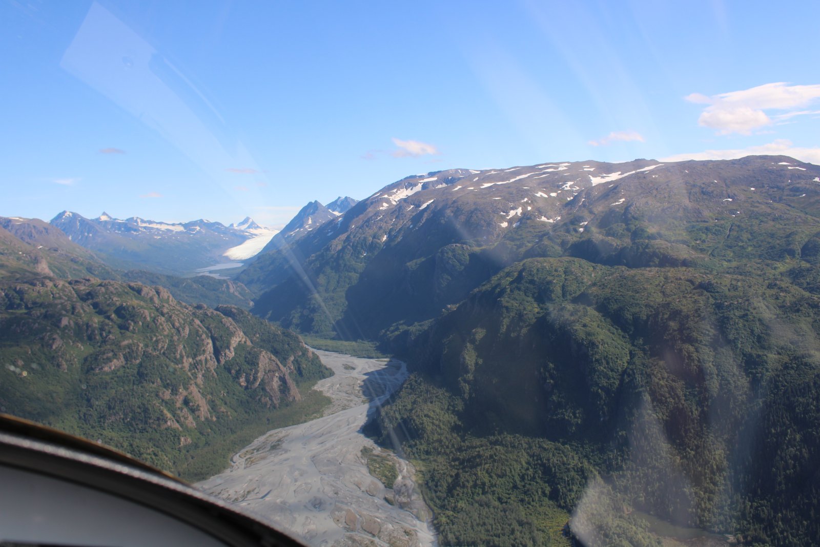
| Skirting the edge of the Kenai Mountains. |
| |
 |
|
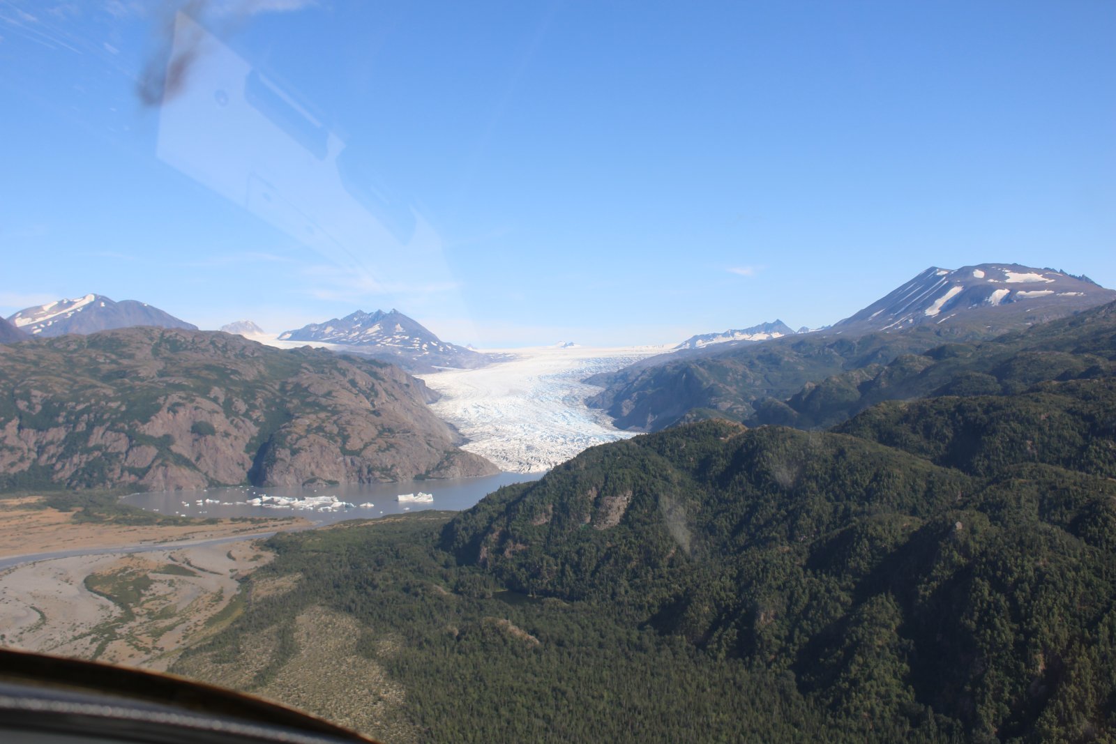
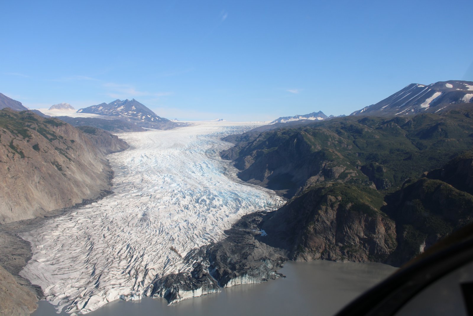
| A glacier forms a lake and calves some iceburgs. |
| |
 |
|
|
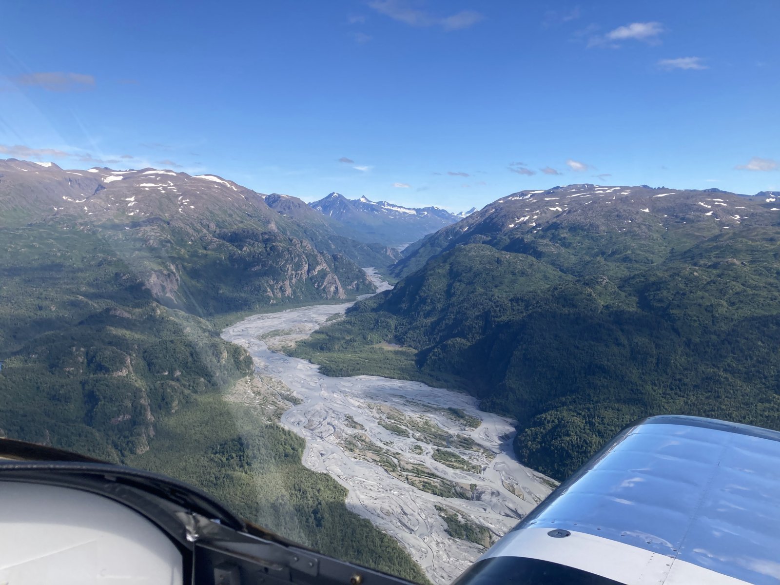
A river bed emerges from the mountains north of Homer.
|
| |
 |
|
|
|
| |
 |
|
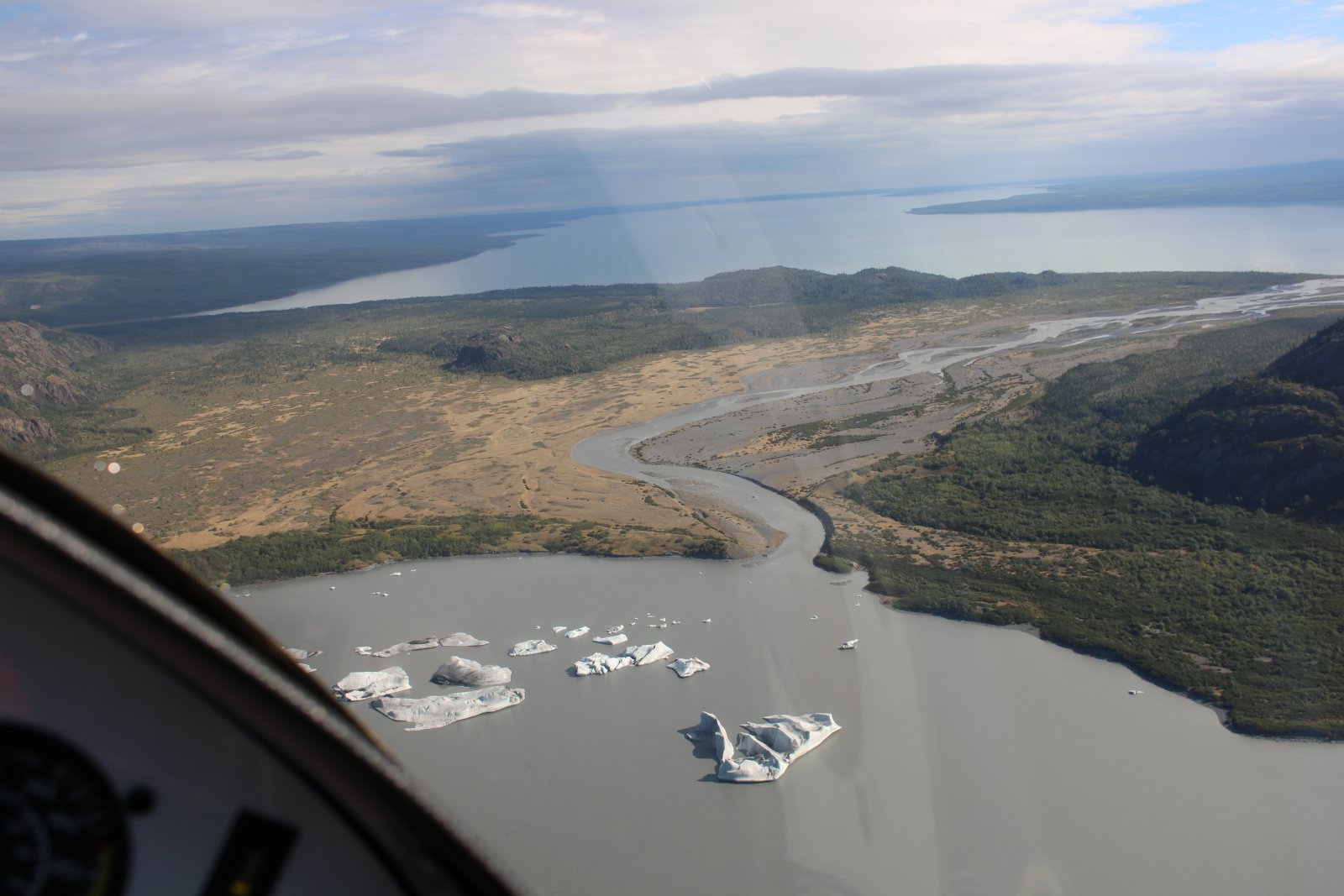
| The big lake beyond is Tustumena Lake. Iceburgs float in the small lake in the foreground. |
| |
 |
|
|
|
| |
 |
|
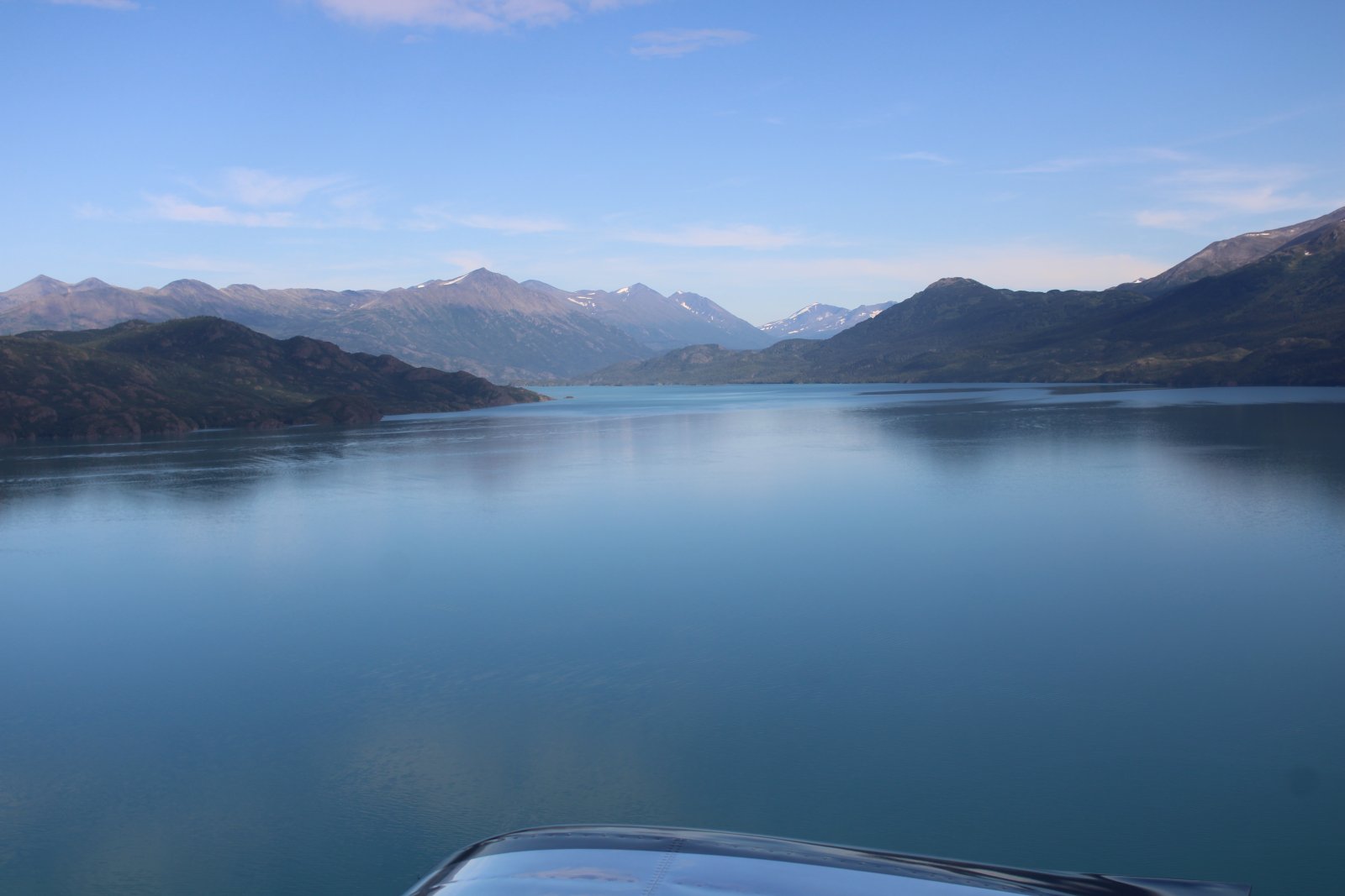
| Crossing Skilak Lake northbound. |
| |
 |
|
|
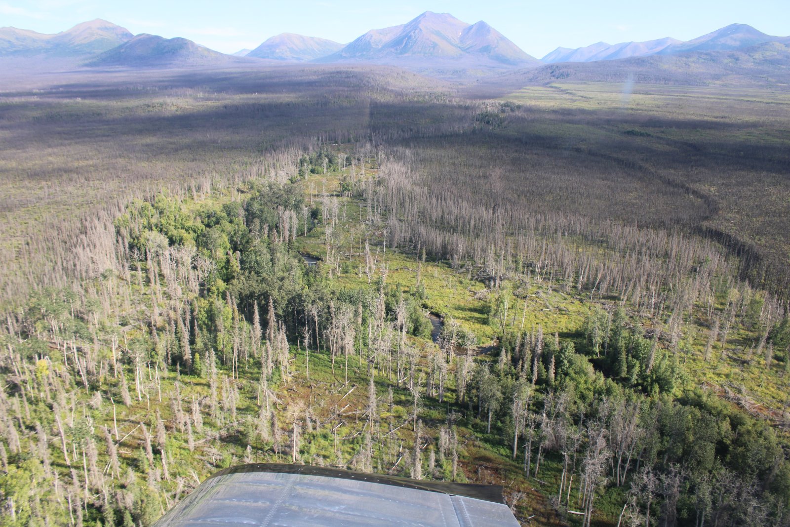
Mostly wilderness like this between Anchorage and Homer.
|
| |
 |
|
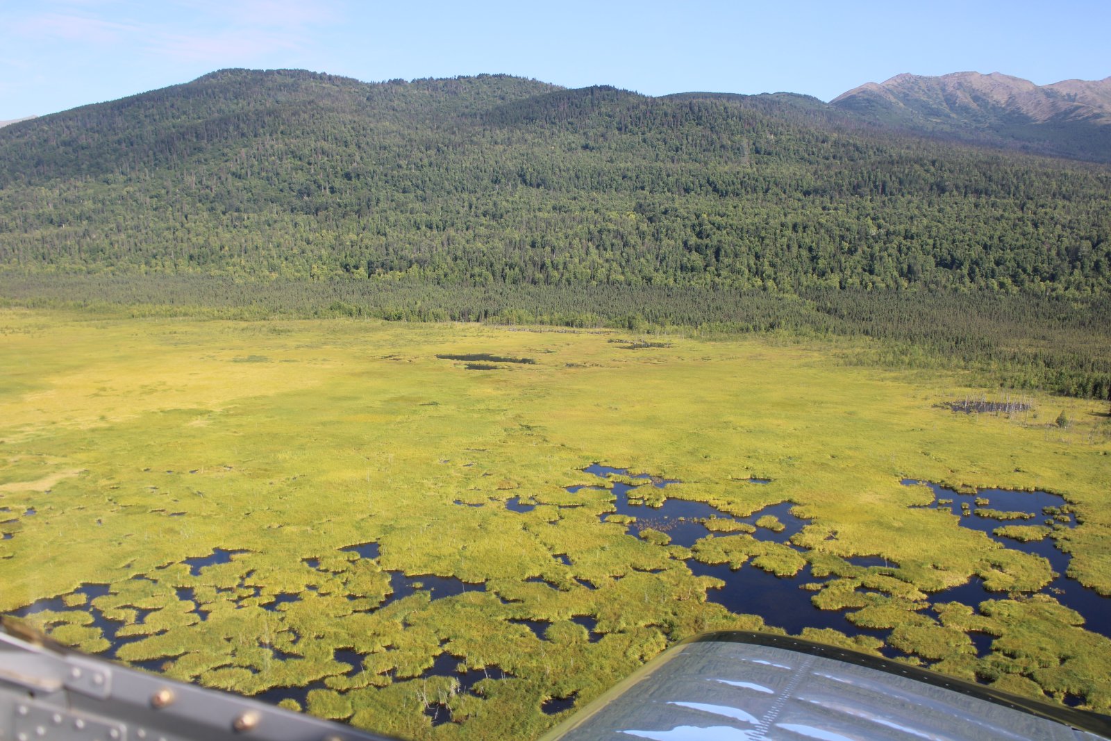
| The terrain continually changes. |
| |
 |
|
|
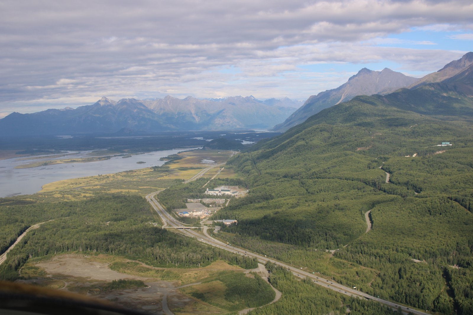
After passing Anchorage, I follow Highway One to the Wasilla/Palmer area.
|
| |
 |
|
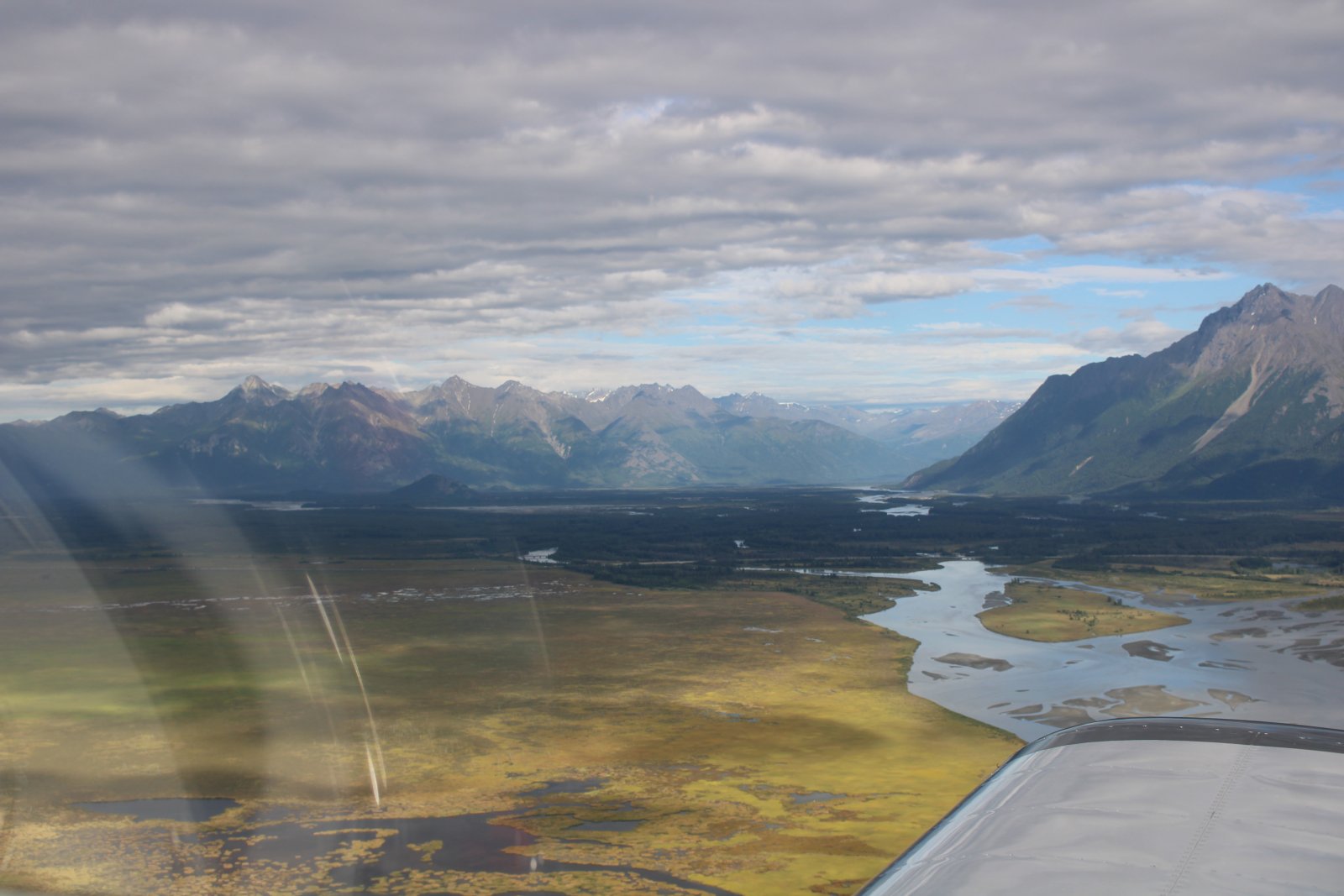
| The Matanuska and Knik Rivers run side by side for a short time. |
| |
 |
|
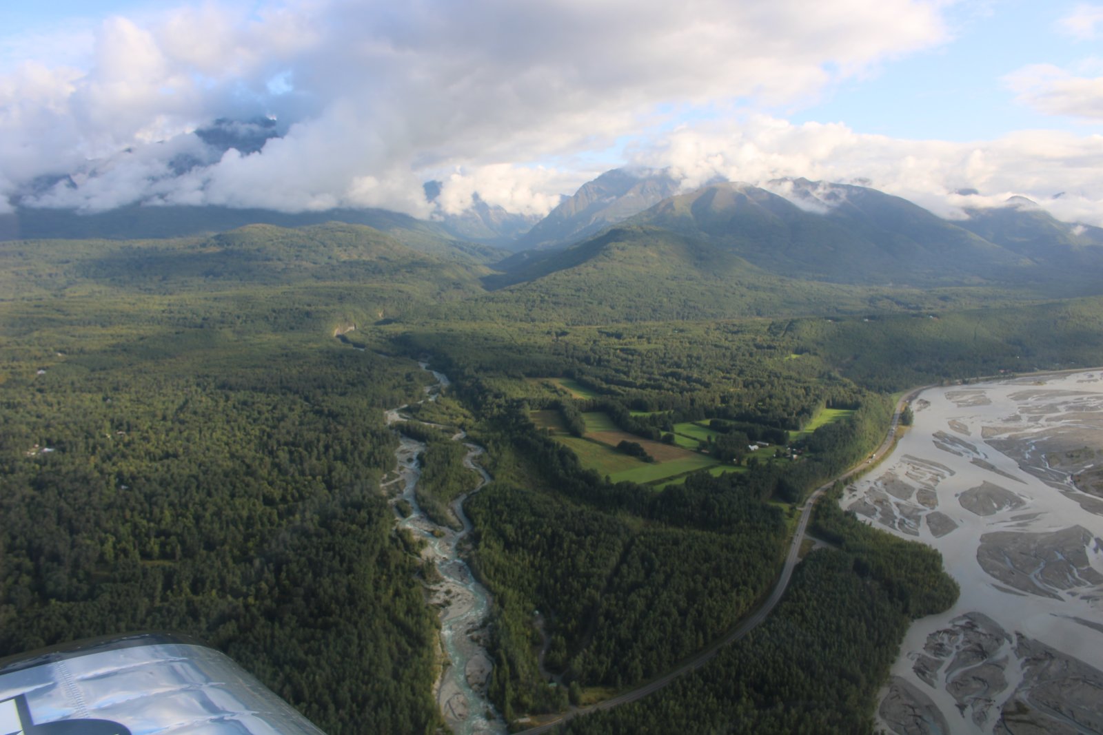
| Just starting my journey home, flying up the Matanuska River and looking north. |
| |
 |
|
|
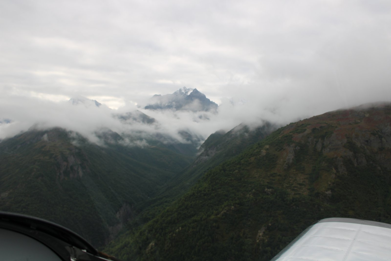
There are some clouds in the mountains this morning.
|
| |
 |
|
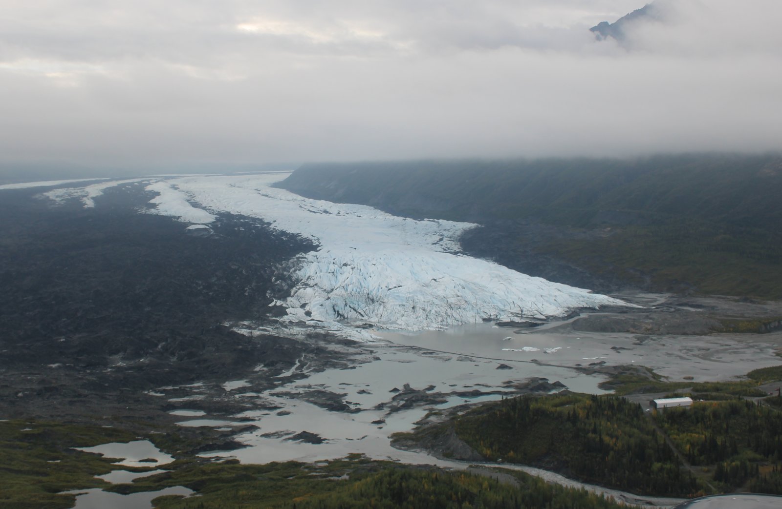
| The Matanuska Glacier emerges from the clouds. I made it through nearby Sheep Mountain pass just under the overcast. |
| |
 |
|
|
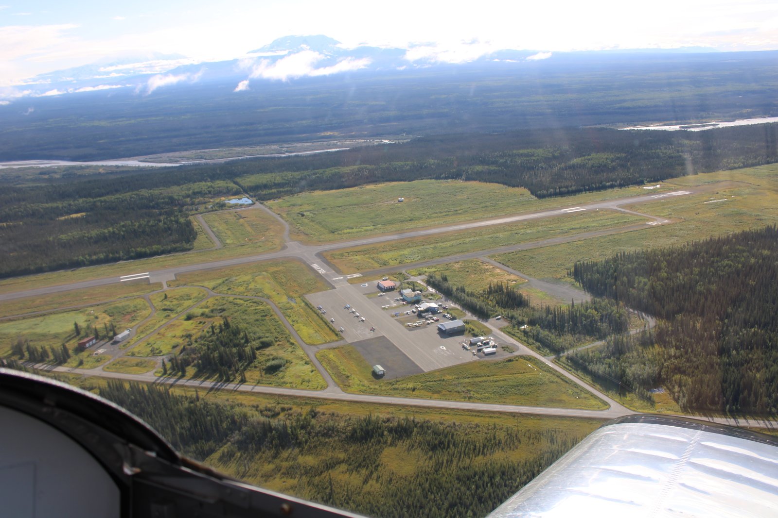
Gulkana Airport, a public GA airport with avgas sits all by its lonesome self in southeast Alaska.
|
| |
 |
|
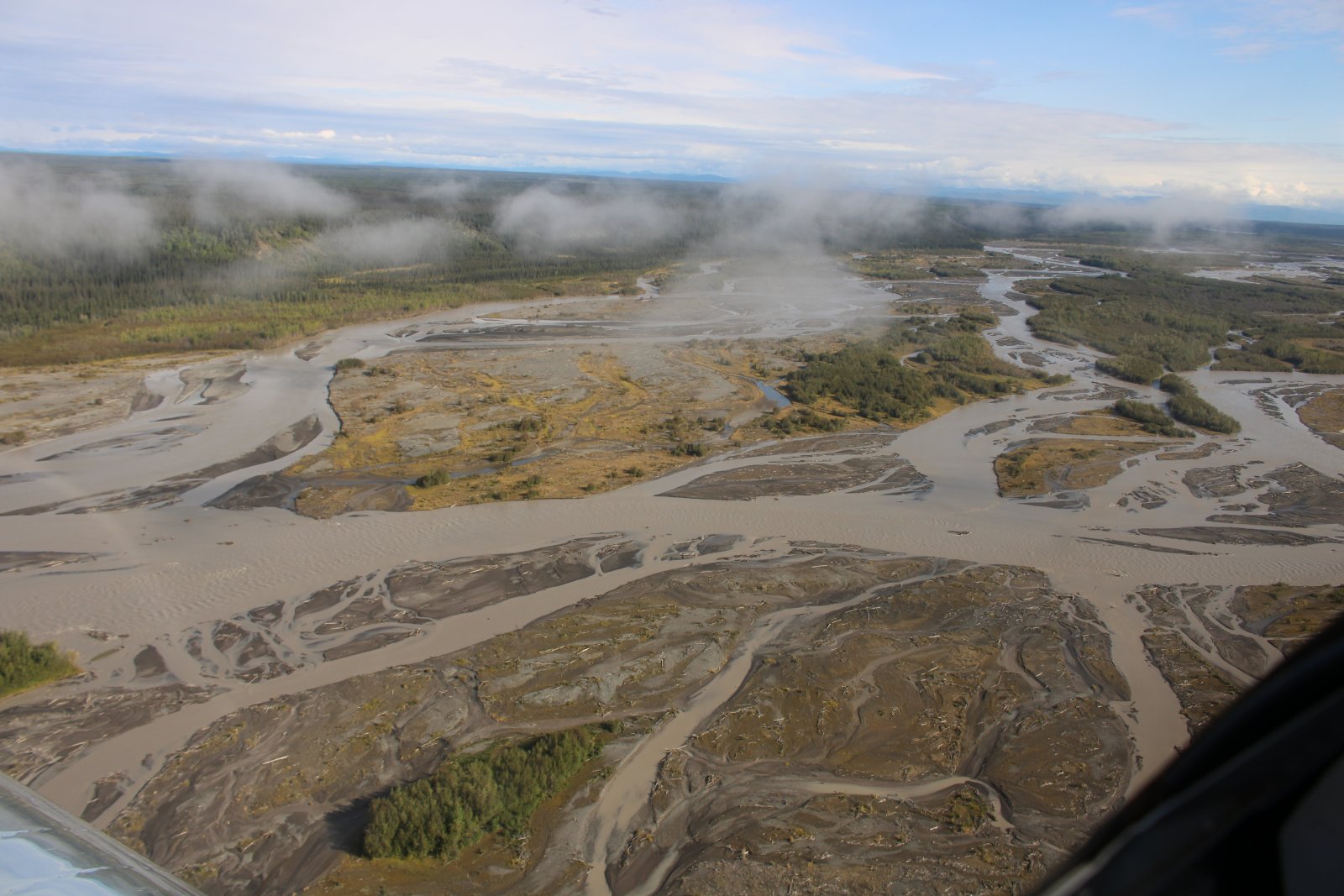
| Following the pretty Copper River northeast. |
| |
 |
|
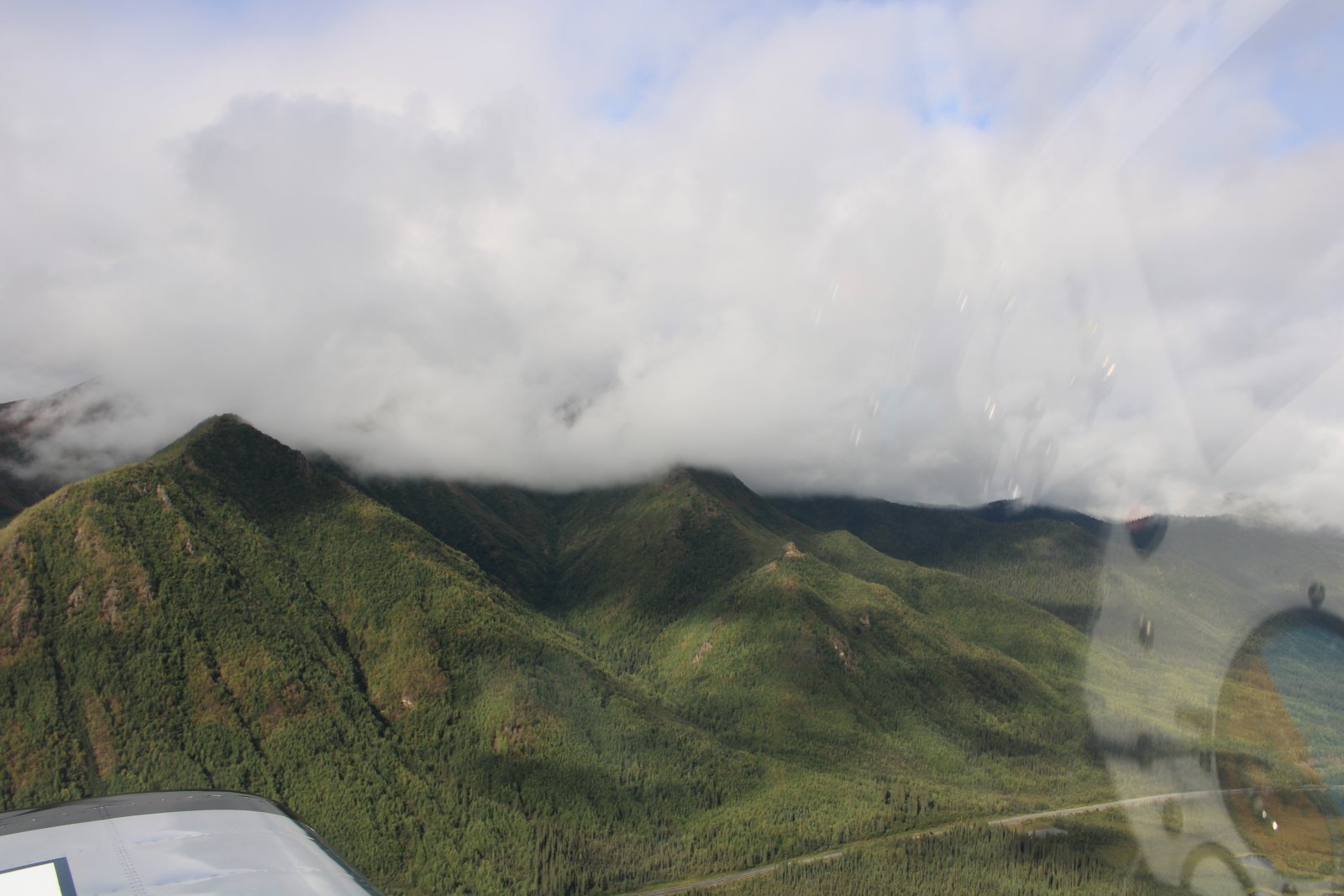
| Cruising through Mentasta Pass. |
| |
 |
|
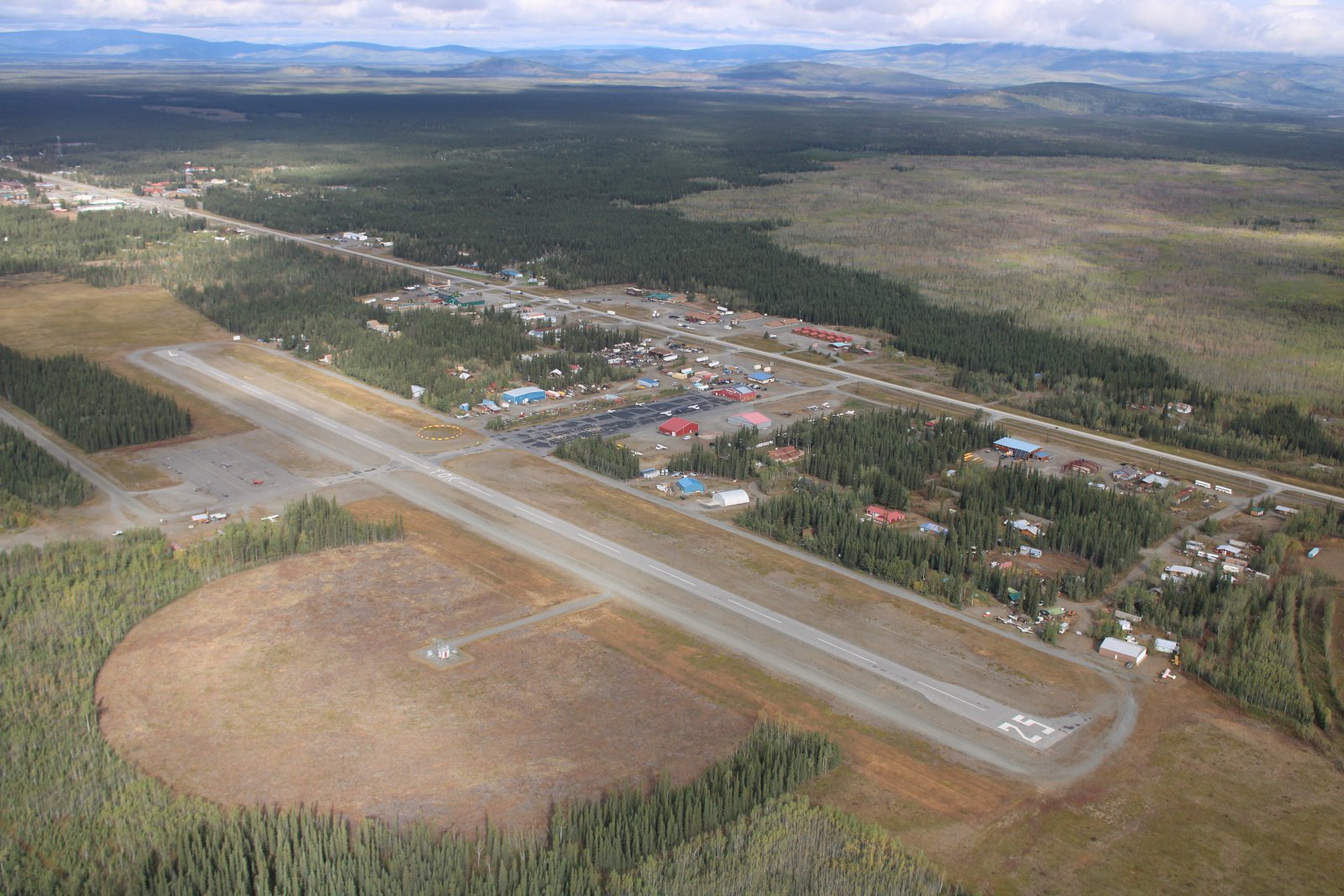
| Overhead Tok Airport. Better fuel up here. Next fuel available is a long way away: Whitehorse in The Yukon. |
| |
 |
|
|
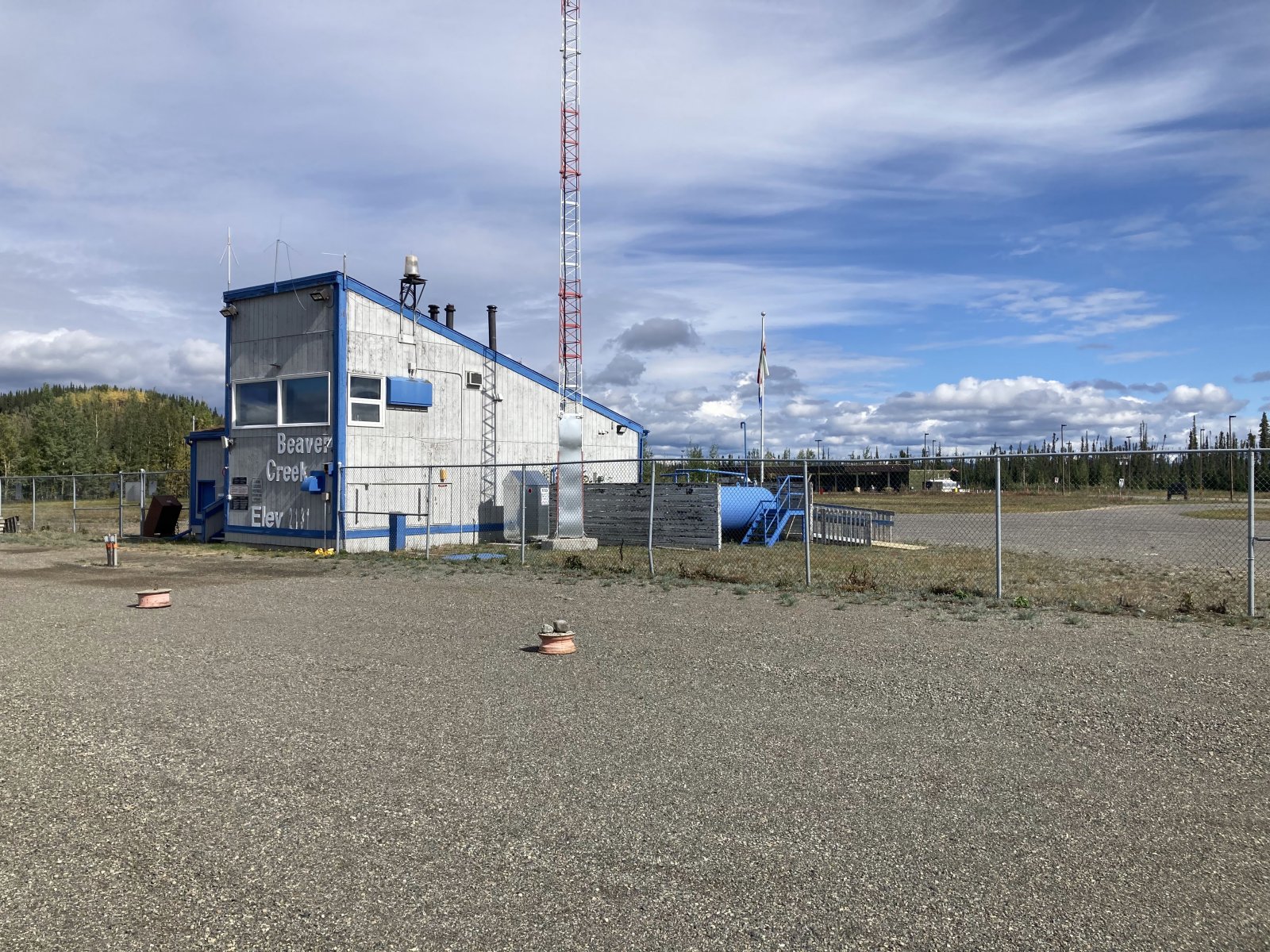
Shortly after crossing the U.S./Canada border, I land on Beaver Creek's gravel runway and clear customs. The only thing at Beaver Creek is this CARS Radio Station shack. The Canadian border crossing station is that green building in the distance at center right. I didn't have to go there though. I called Canadian customs and they just said I was good to go.
|
| |
 |
|
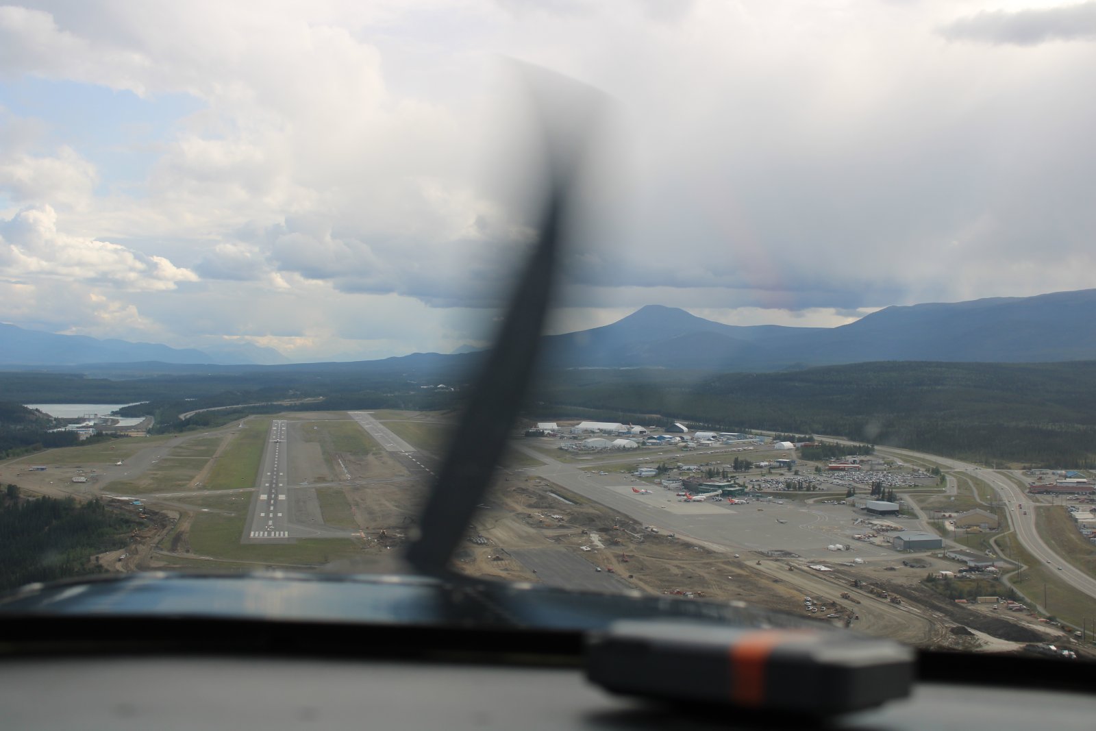
| On final at Whitehorse Airport. Notice the big 737 commercial jet halfway down the runway taking off. |
| |
 |
|
|
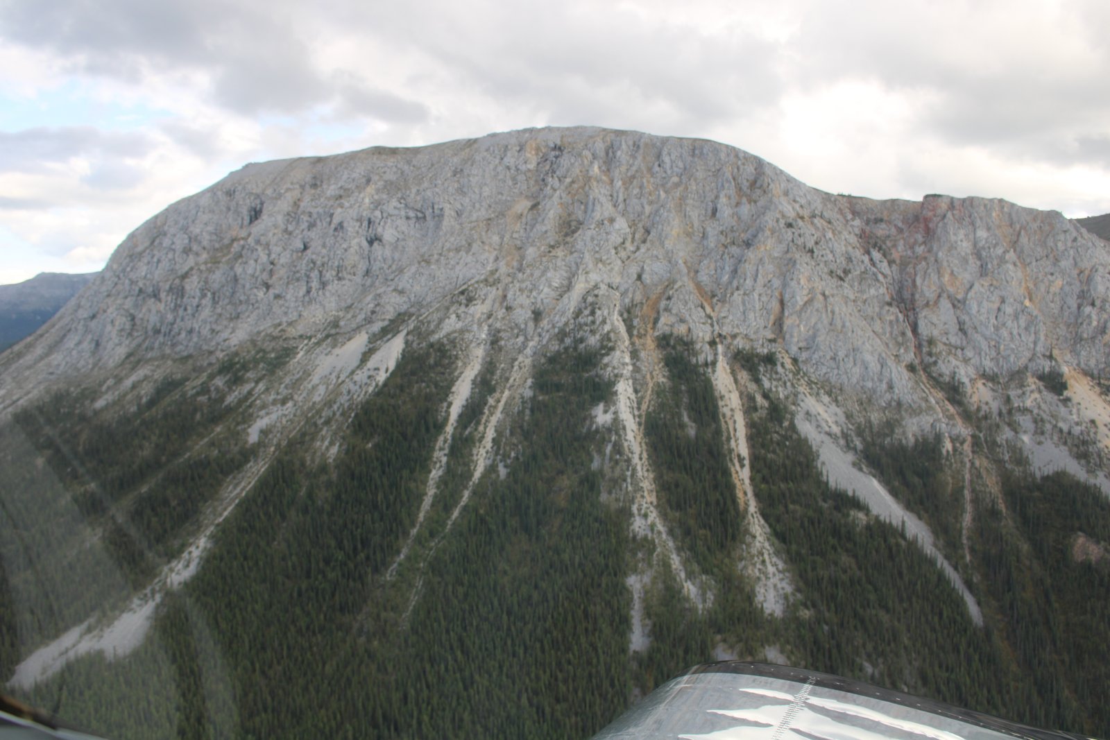
Looking up at a big rock.
|
| |
 |
|
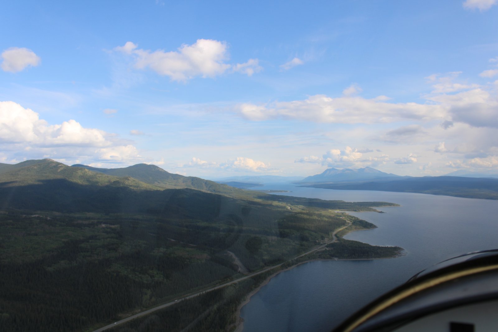
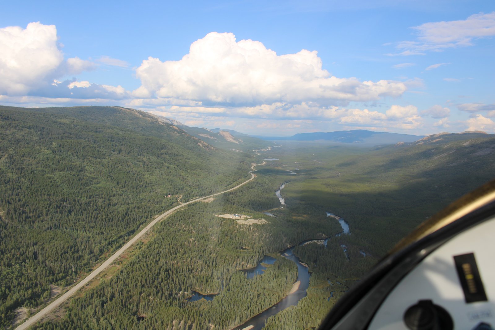
| Following the AlCan Highway down the east side of long Teslin Lake. |
| |
 |
|
| |
| |
 |
|
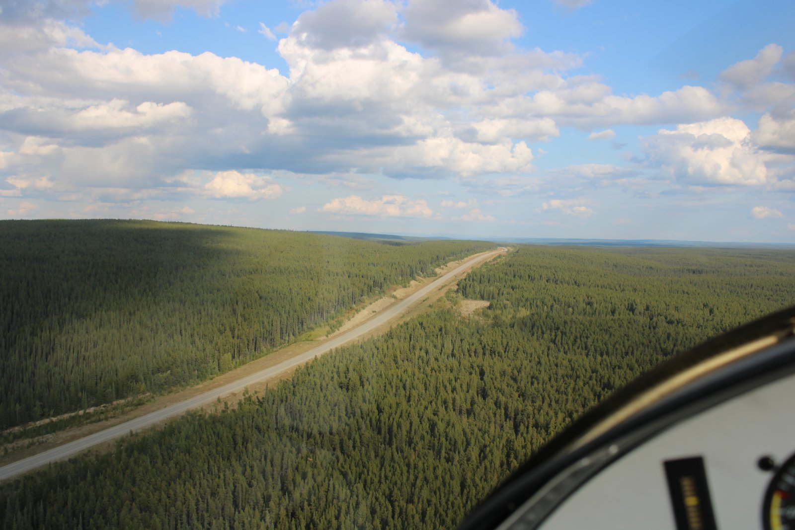
| You can legally land on the AlCan Highway if necessary. |
| |
 |
|
|
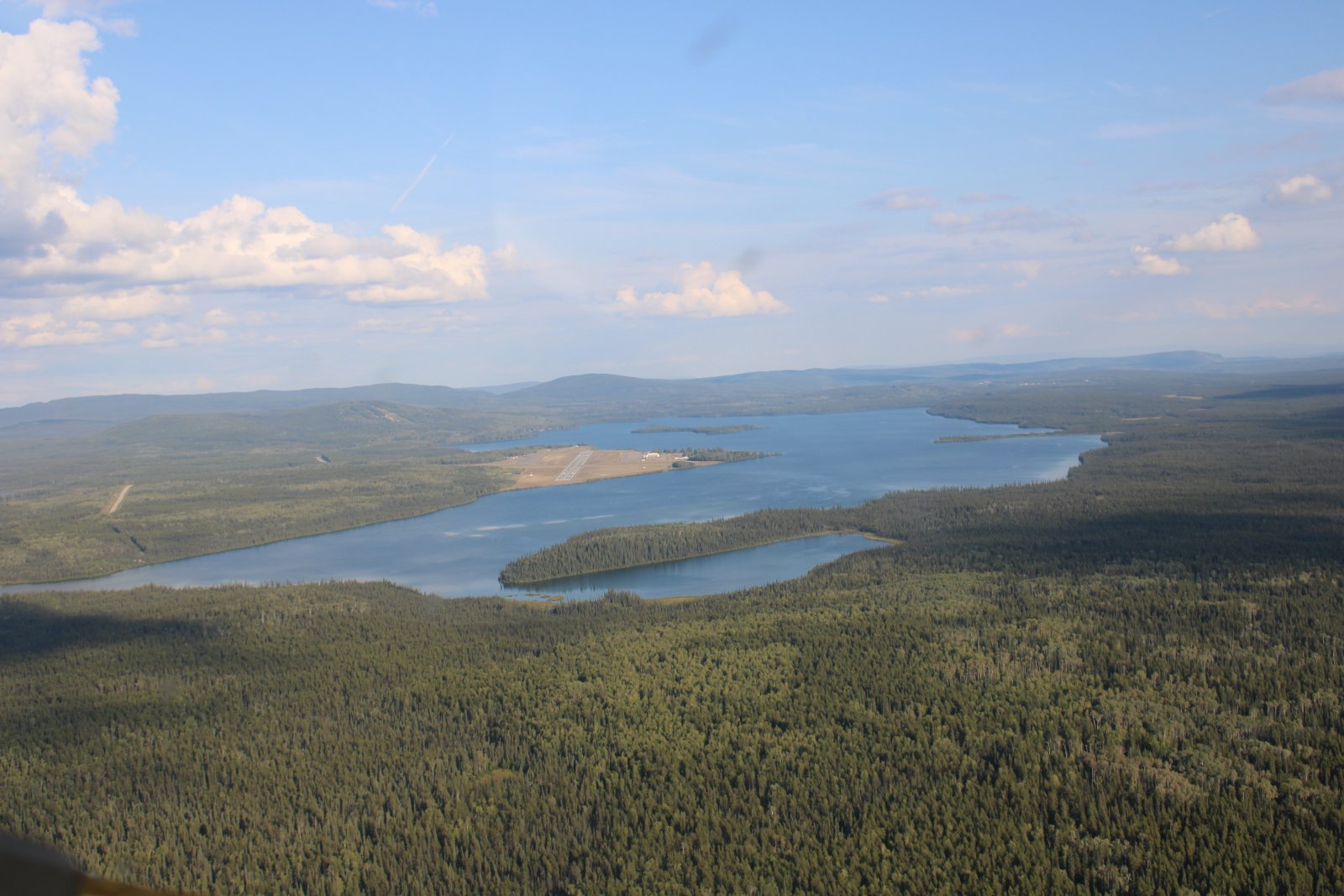
Approaching Watson Lake Airport where I will overnight, camped out by my plane again.
|
| |
 |
|
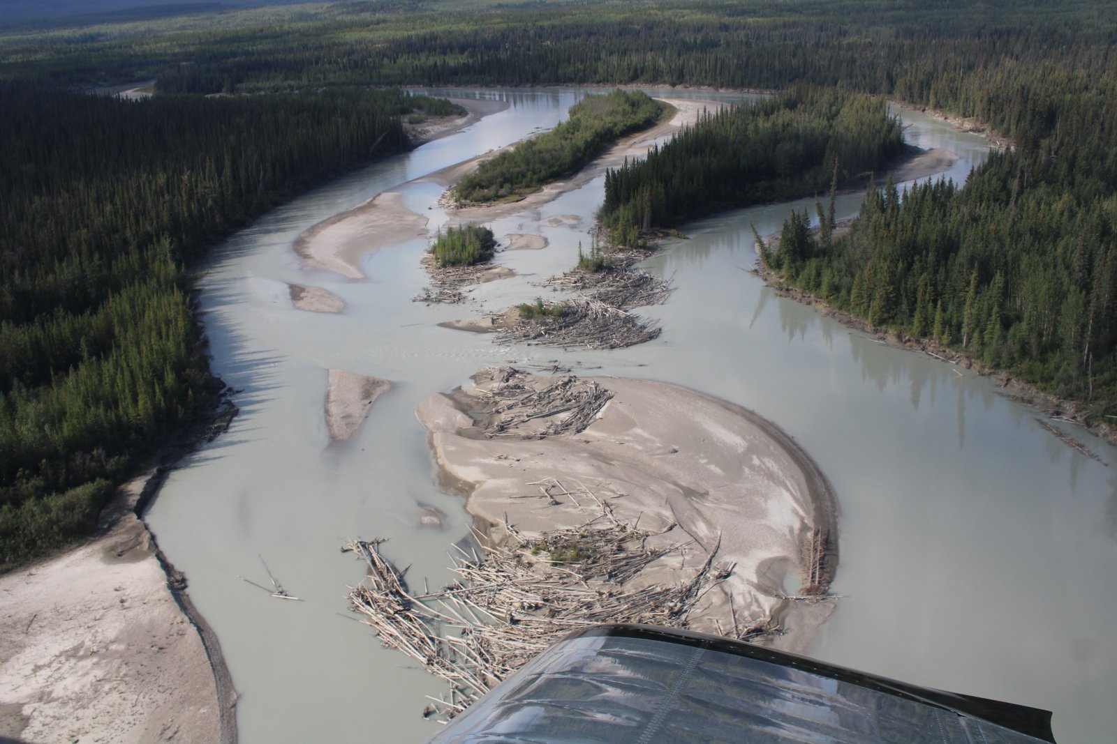
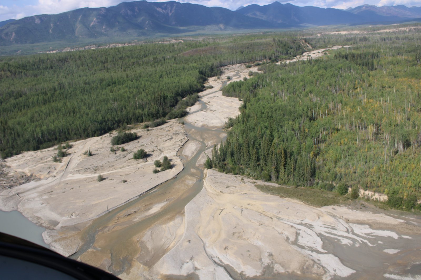
| Flying "The Trench" between Watson Lake and Mackenzie. This is the Kechika River. |
| |
 |
|
|
|
| |
 |
|
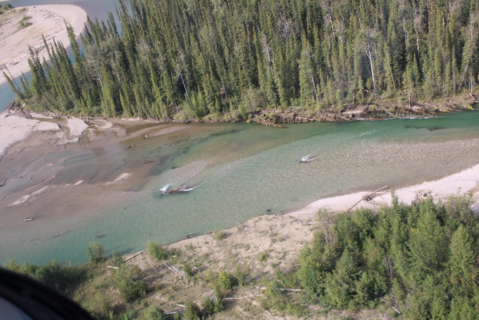
| This looks like it would be a nice place to fish. |
| |
 |
|
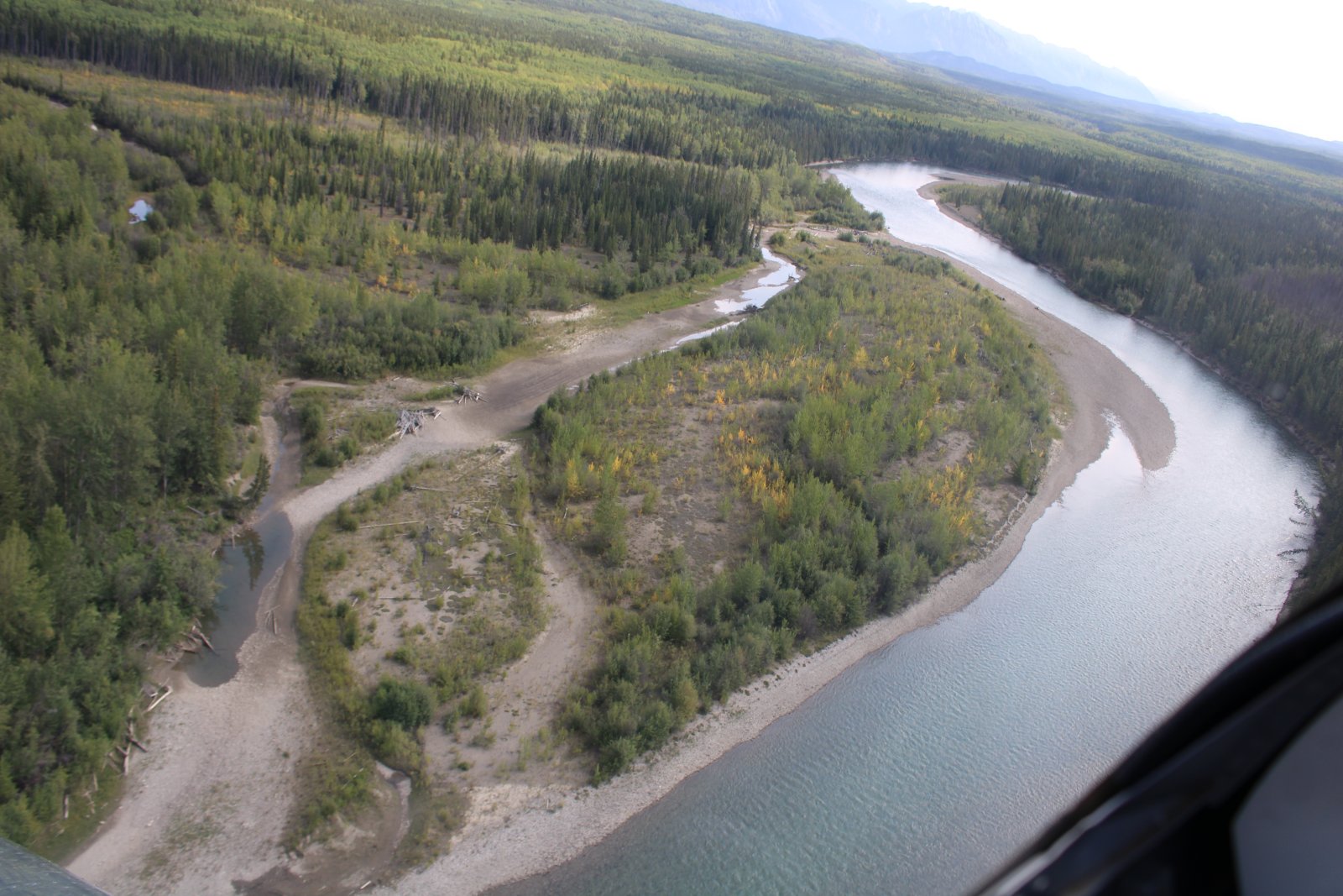
| There is almost no civilization in the 342 nautical miles between Watson Lake and Mackenzie. |
| |
 |
|
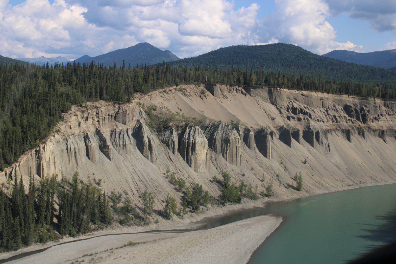
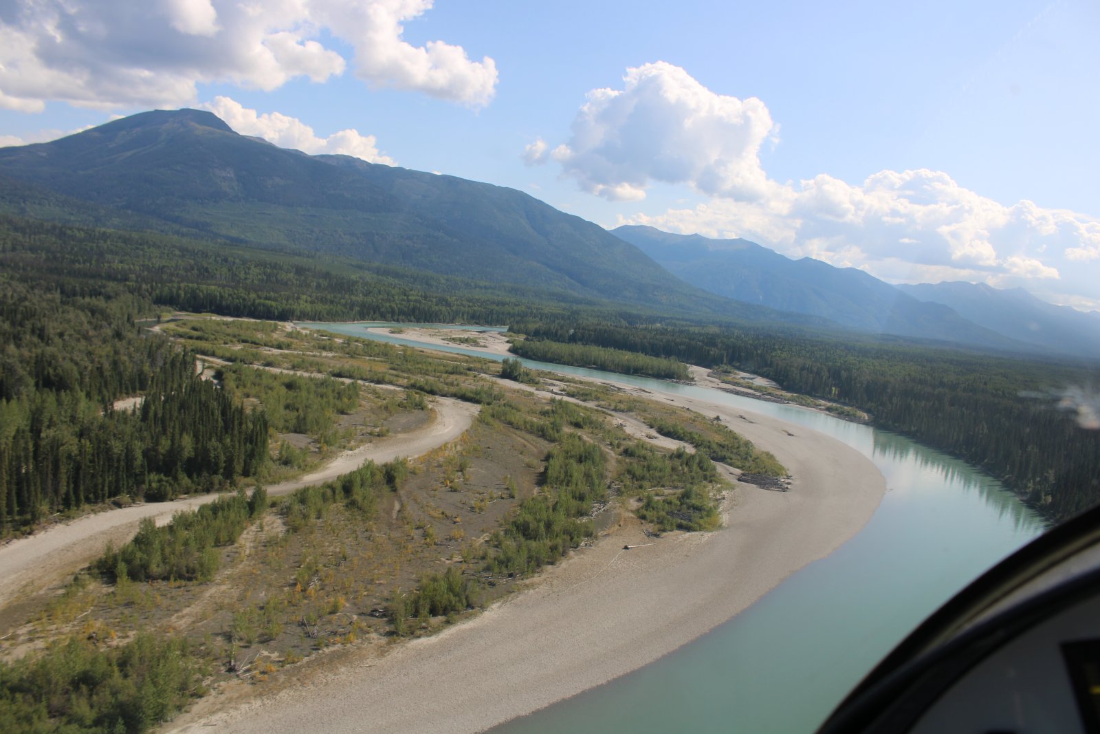
| Looking up at some sandy cliffs while flying the river. |
| |
 |
|
|
|
| |
 |
|
| |
| |
 |
|
|
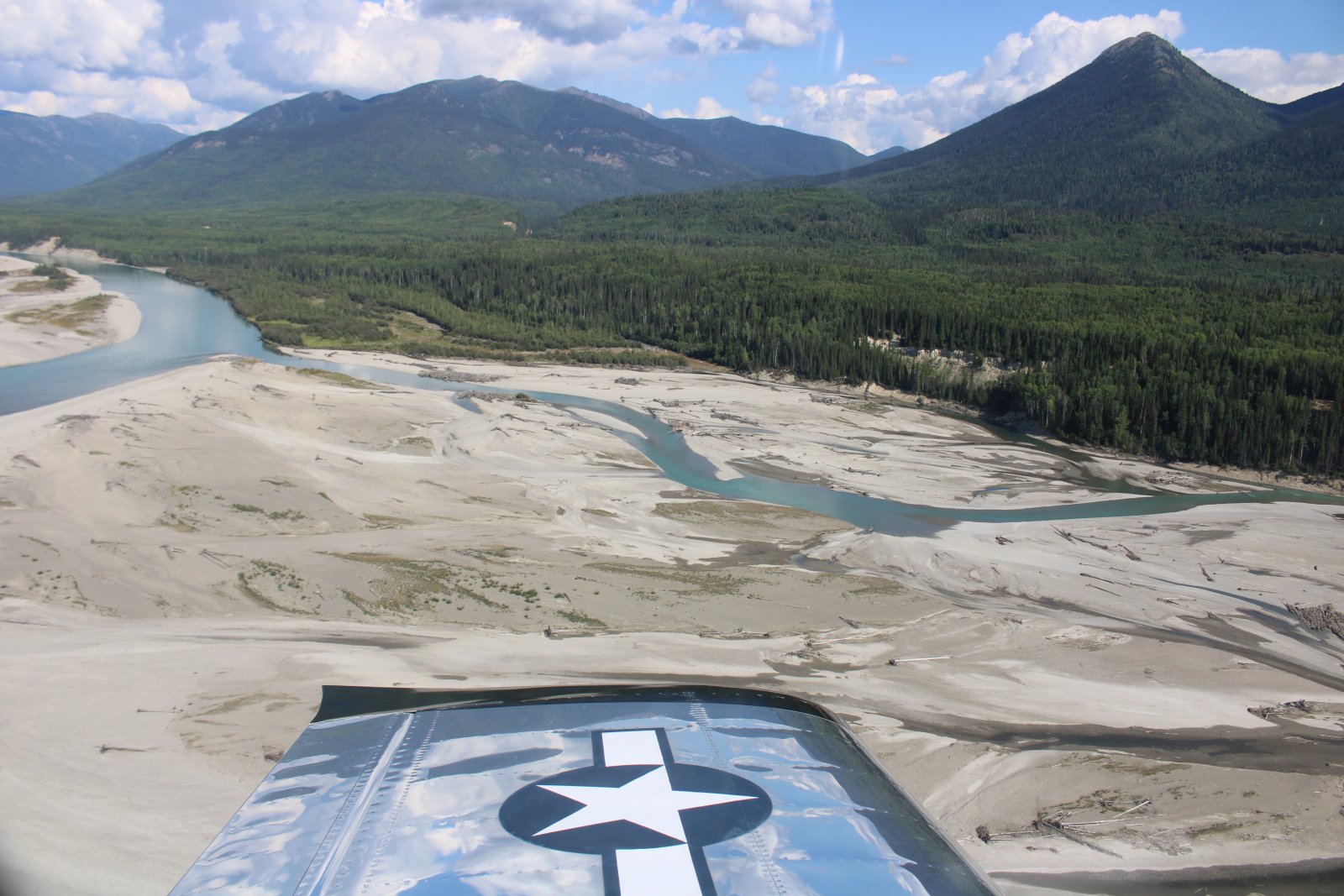
A gigantic sand bar.
|
| |
 |
|
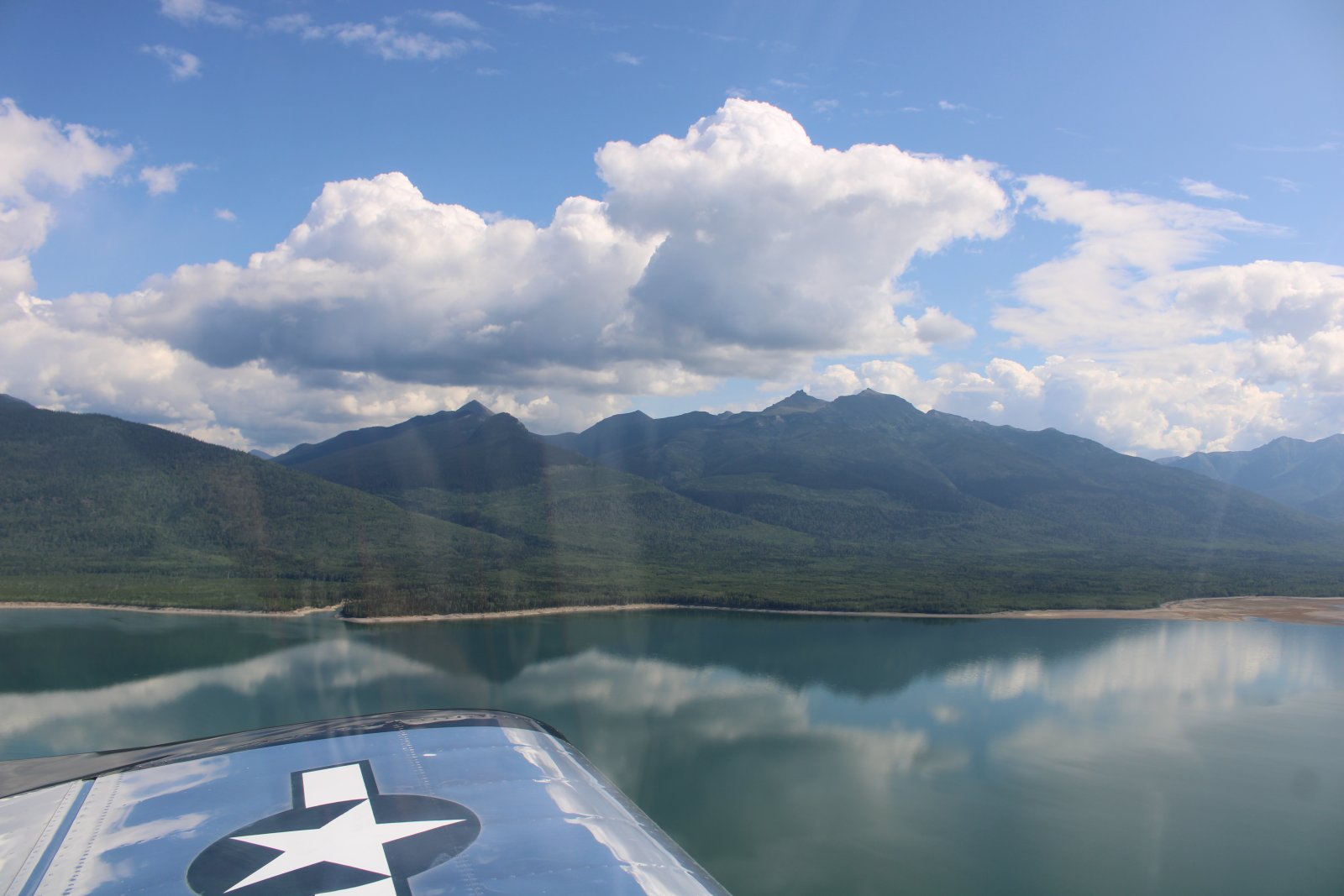
| Now flying down big Williston Lake. |
| |
 |
|
|
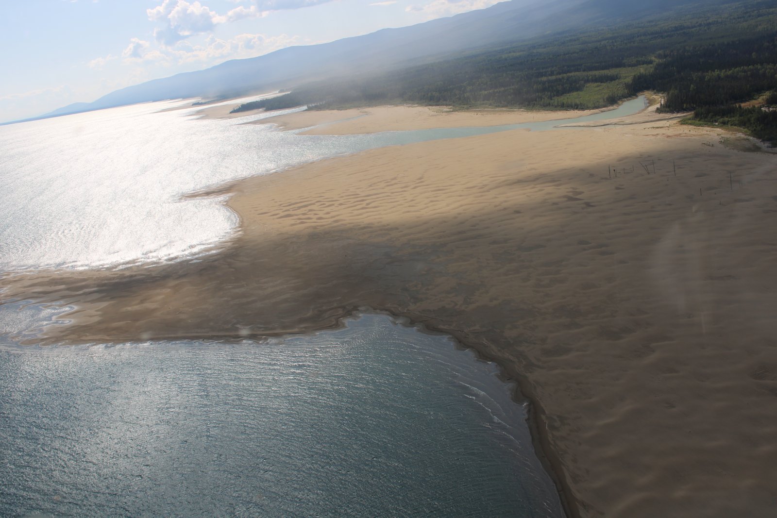
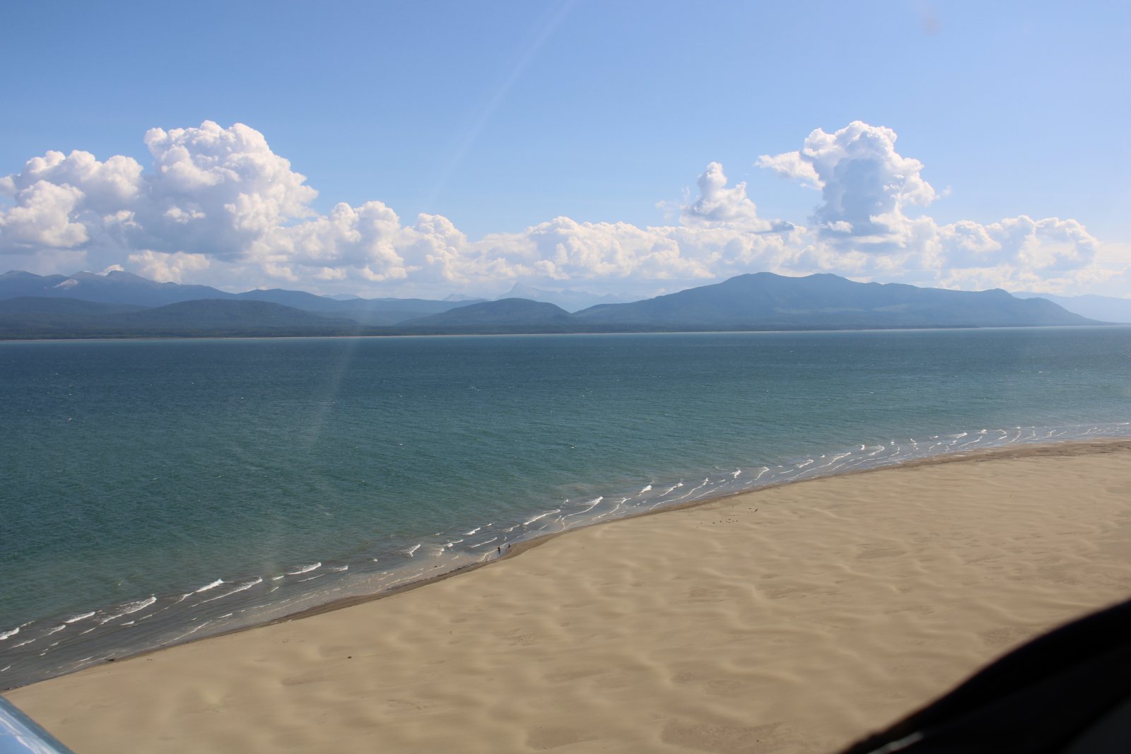
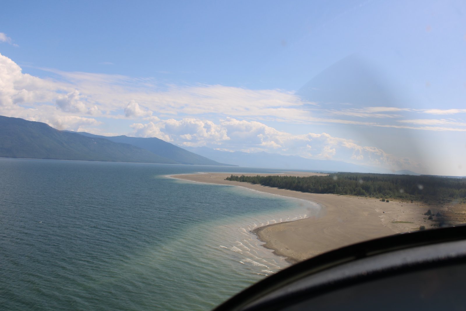
Williston Lake has some huge beaches.
|
| |
 |
|
| |
| |
 |
|
| Flying low down the deserted beaches. |
| |
 |
|
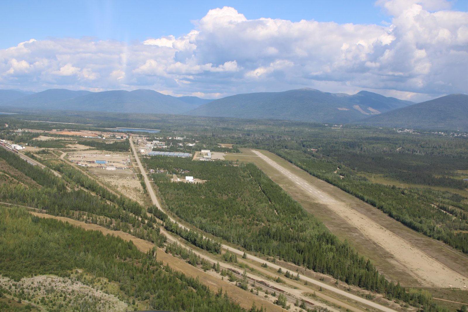
| A welcome sight! Mackenzie Airport where avgas is available. I still had half a tank of fuel in the RV-7 so it really wasn't that dramatic. |
| |
 |
|
|
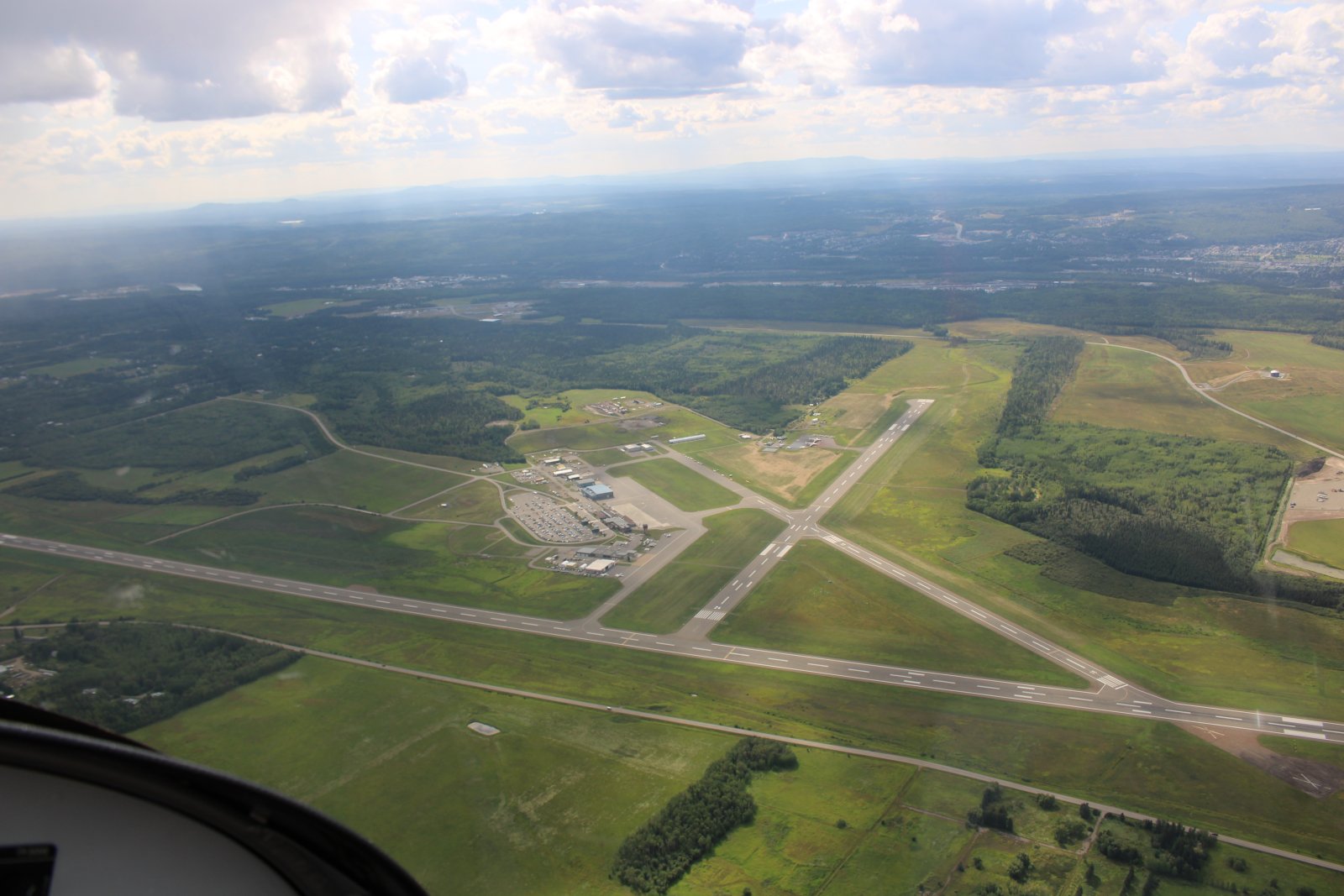
Flying by Prince George International Airport.
|
| |
 |
|
|
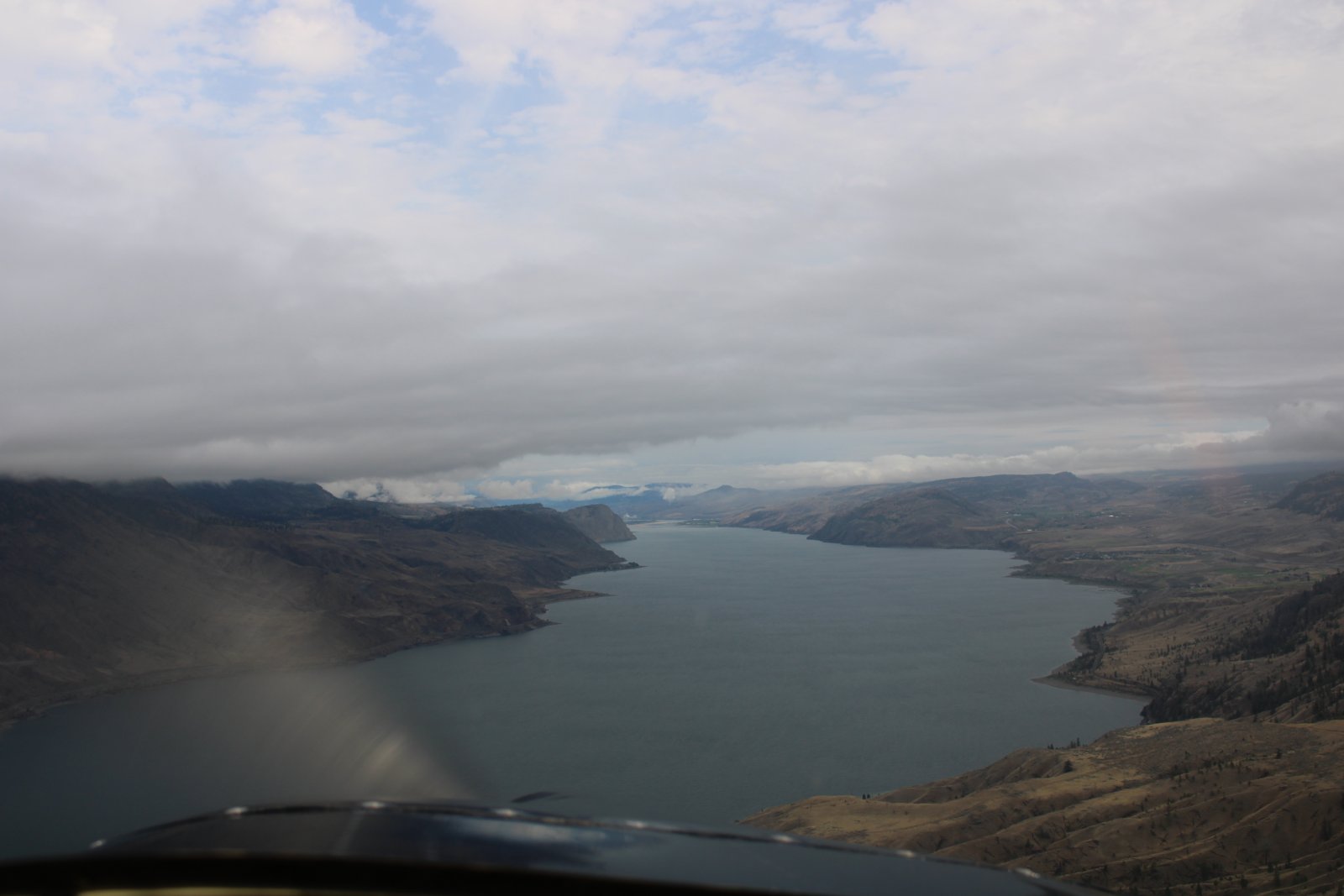
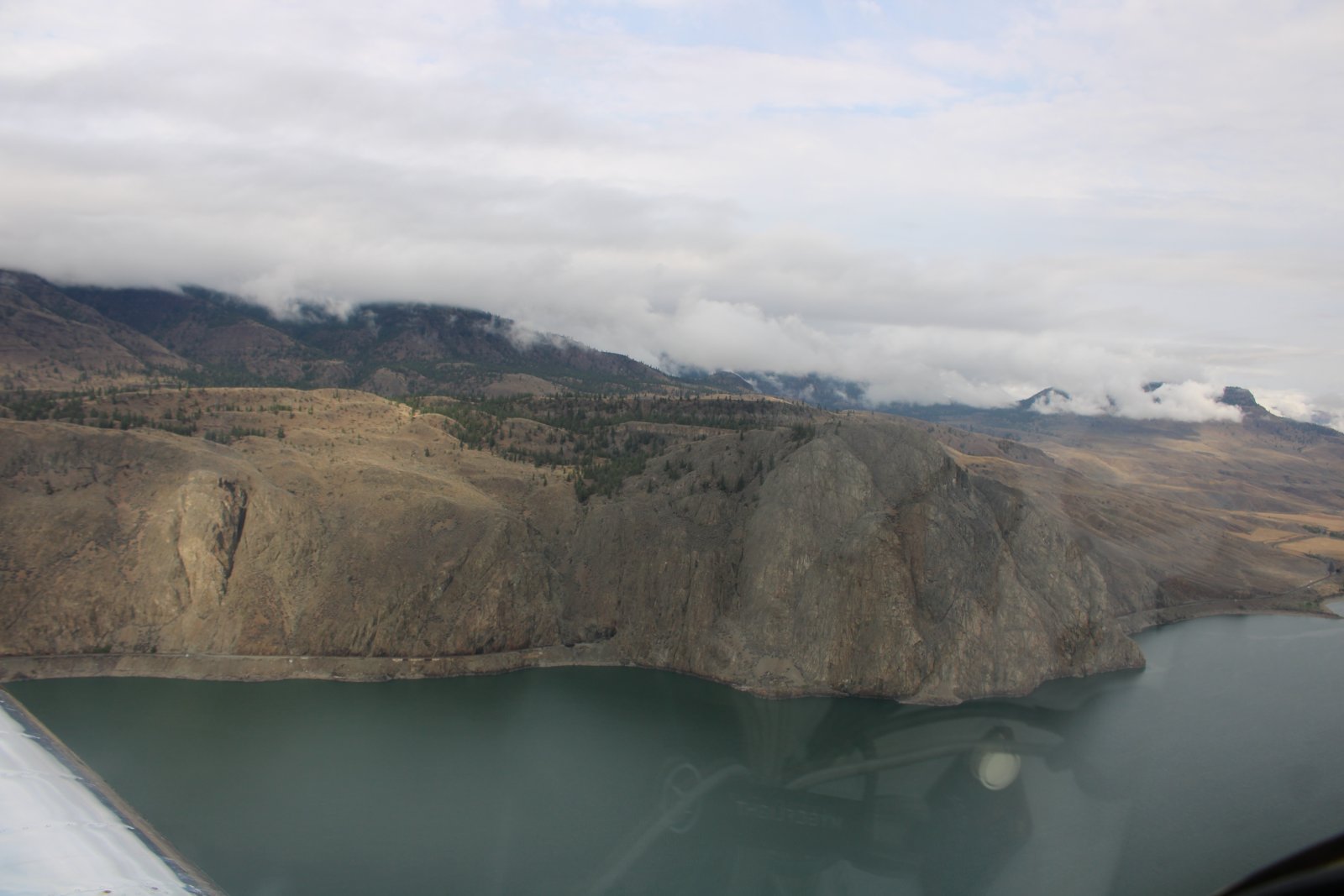
Flying east over Kamloops Lake.
|
| |
 |
|
| |
| |
 |
|
|
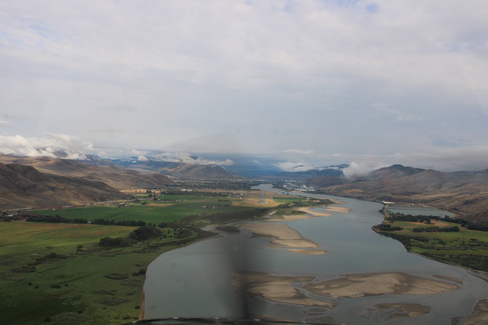
On a long final for Kamloops Airport. I spent the night in Kamloops at a motel.
|
| |
 |
|
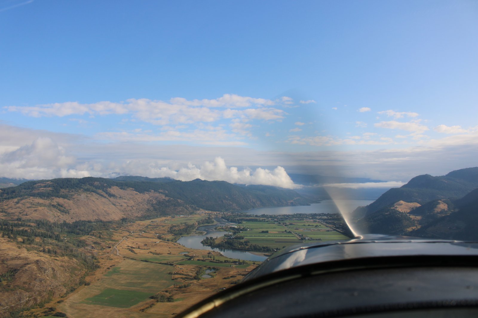
| The next morning, heading east from Kamloops. The nice weather would not last long. |
| |
 |
|
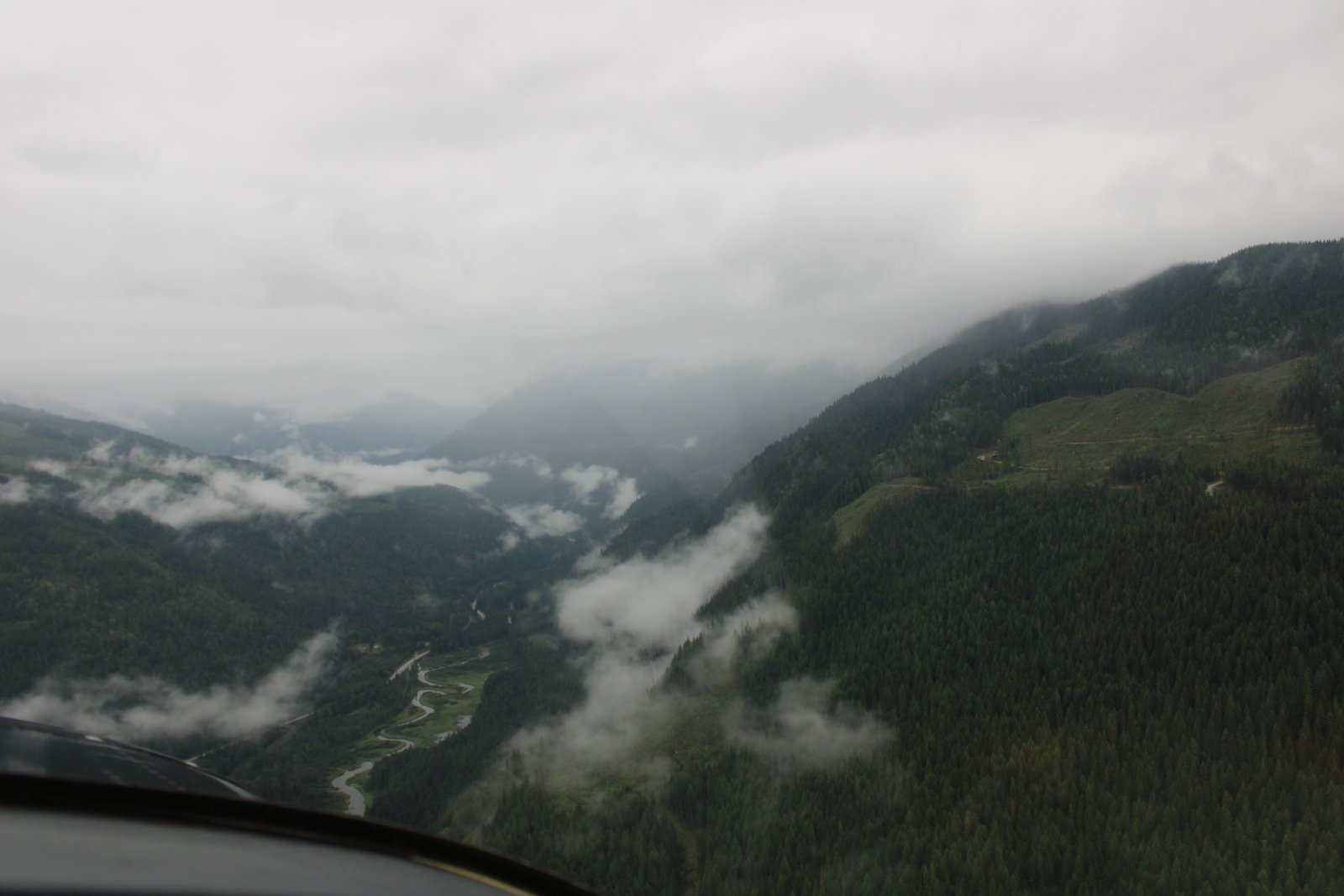
| Following a VFR route through the Canadian Rockies in some decidedly less than favorable weather. |
| |
 |
|
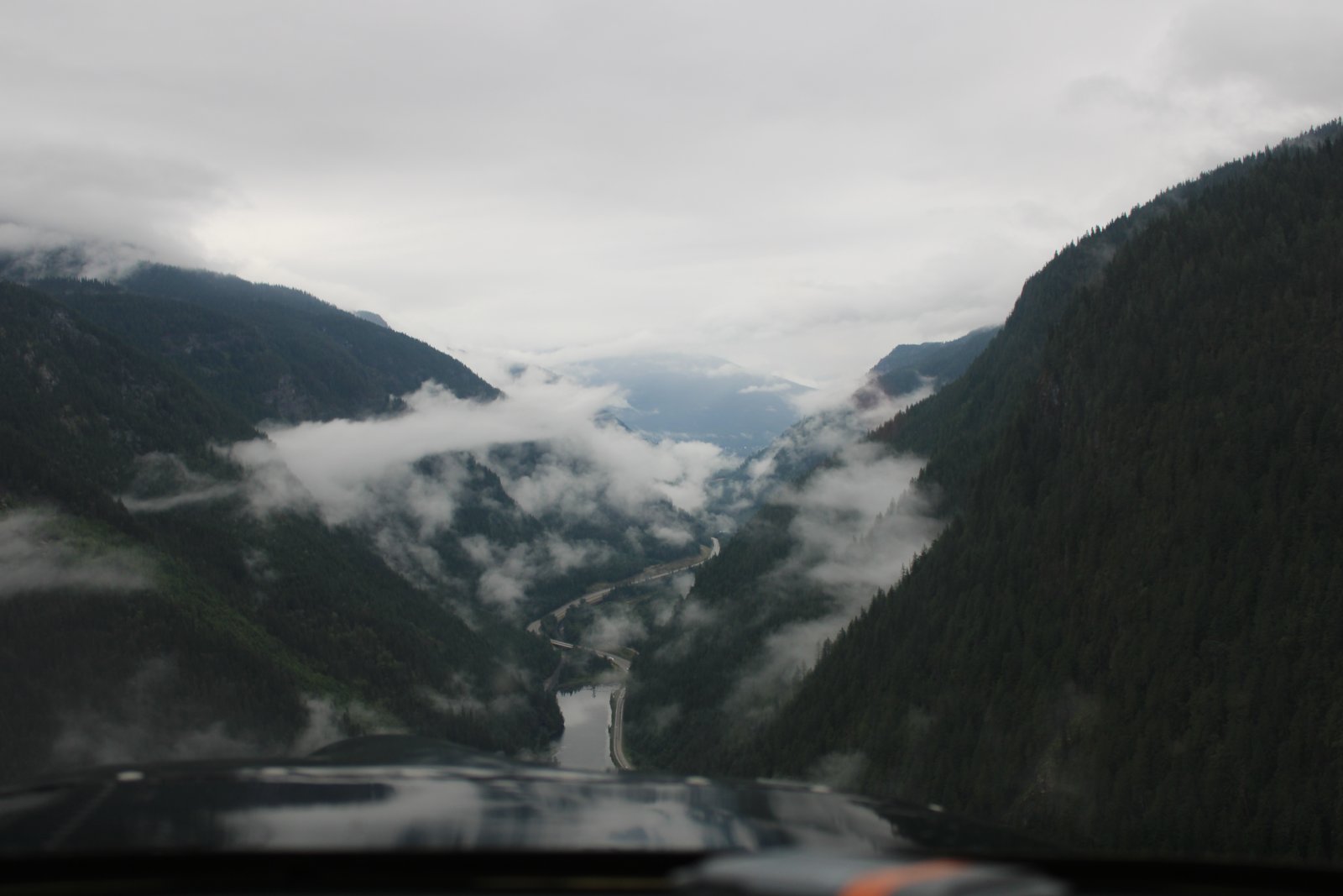
| Following the Trans Canada Highway -- Highway One -- through a narrow pass. |
| |
 |
|
|
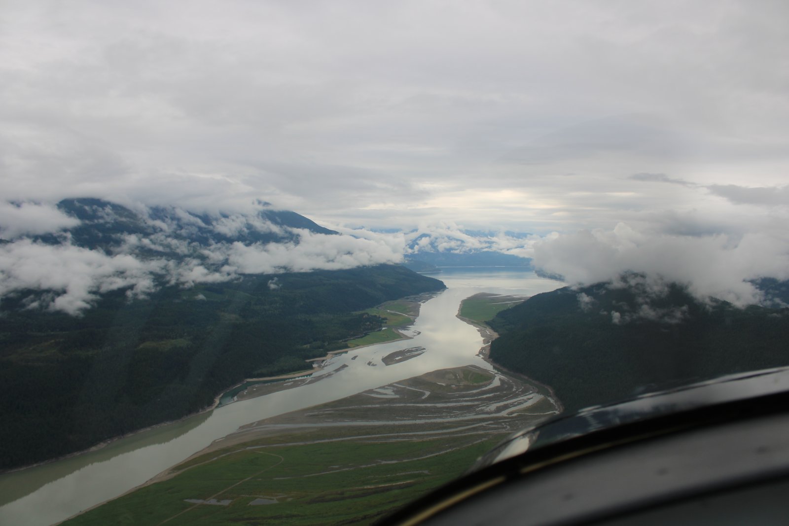
At Revelstoke, I head south down Upper Arrow Lake towards better weather.
|
| |
 |
|
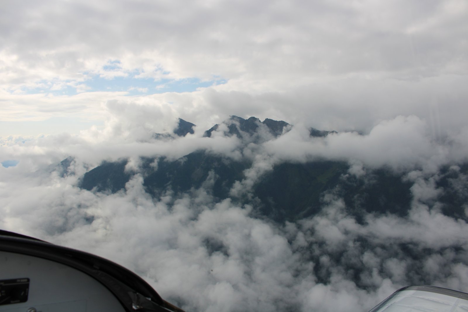
| Climbing through a broken layer, I start to see some blue sky. |
| |
 |
|
|
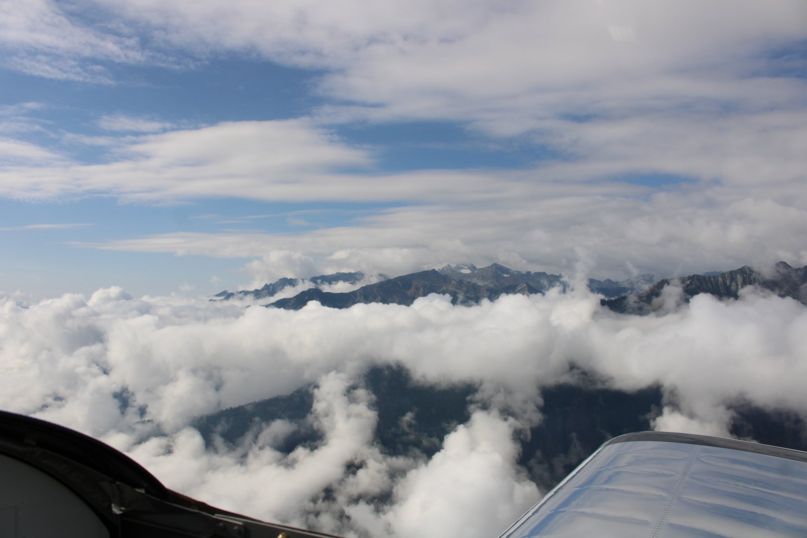
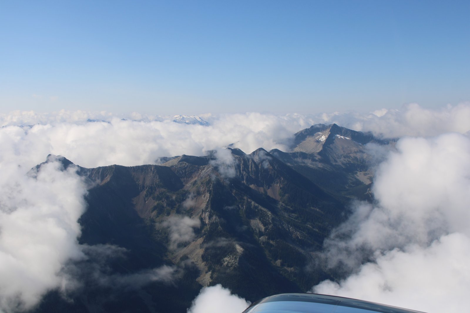
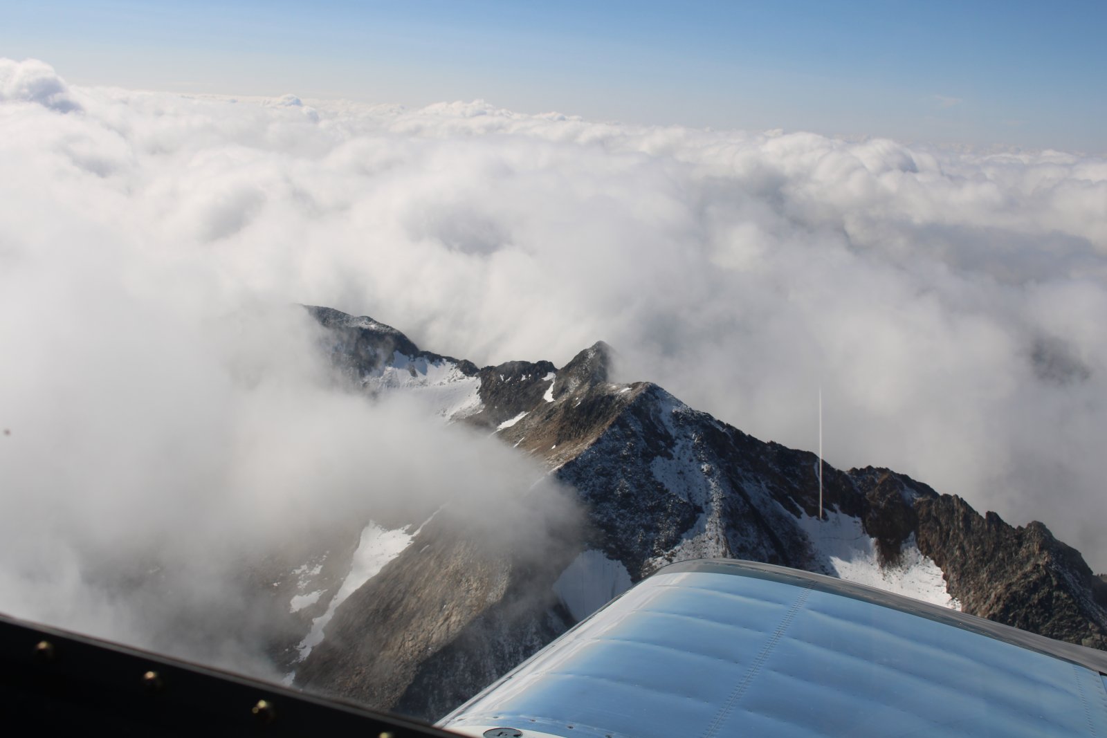
After climbing to 10,000 feet or so, I turn east and simply fly direct over the mountains towards my destination: Cranbrook.
|
| |
 |
|
| The mountains aren't really that tall here. At 10,000 feet I'm well over most of them. |
| |
 |
|
| |
| |
 |
|
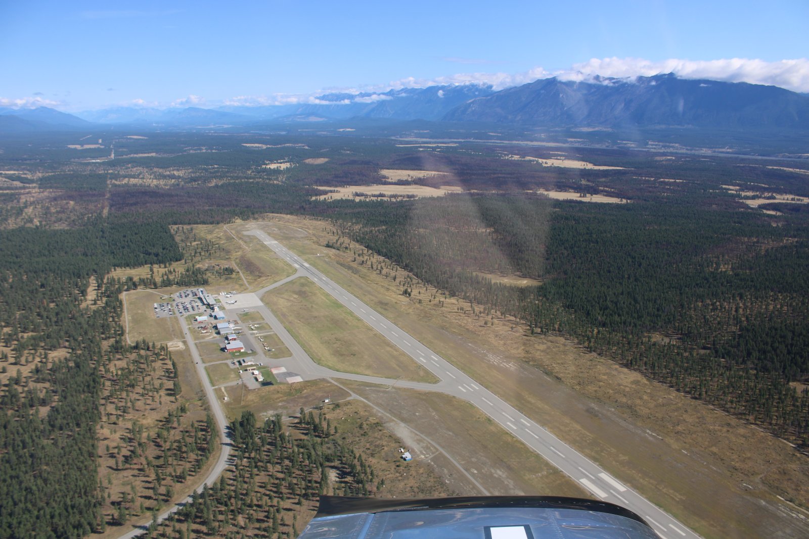
| My fuelstop destination: Cranbrook Airport. |
| |
 |
|
|
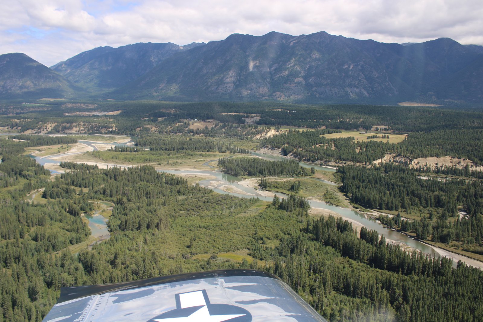
The area east of Cranbrook is very scenic.
|
| |
 |
|
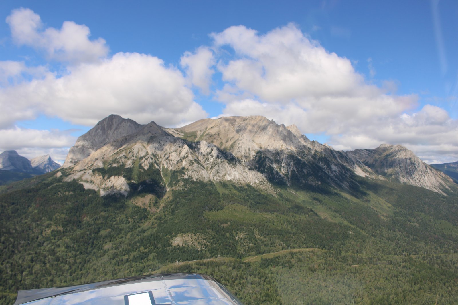
| It has turned into a pretty day. |
| |
 |
|
|
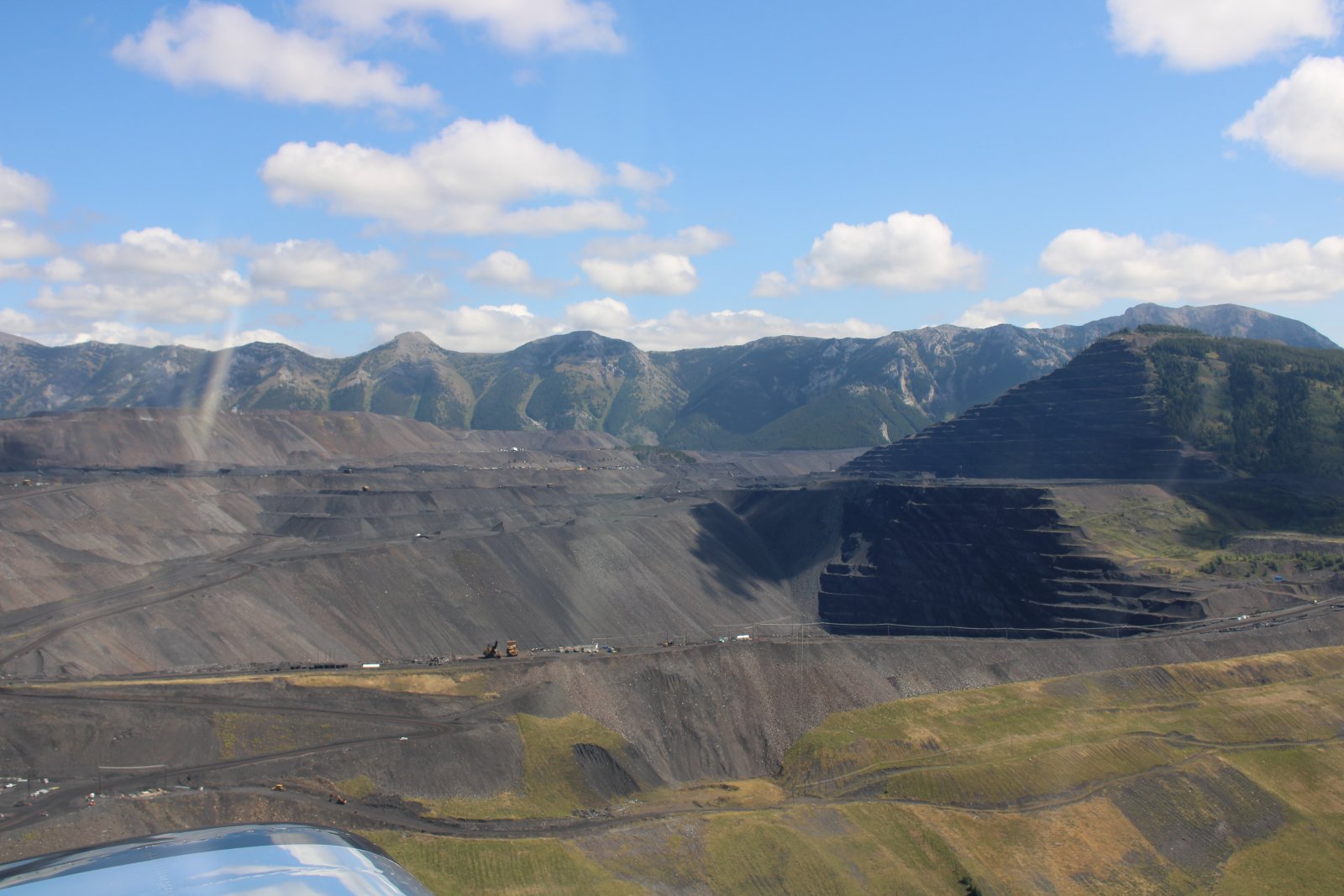
I fly by the biggest coal mine I have ever seen. They are literally taking down an entire mountain.
|
| |
 |
|
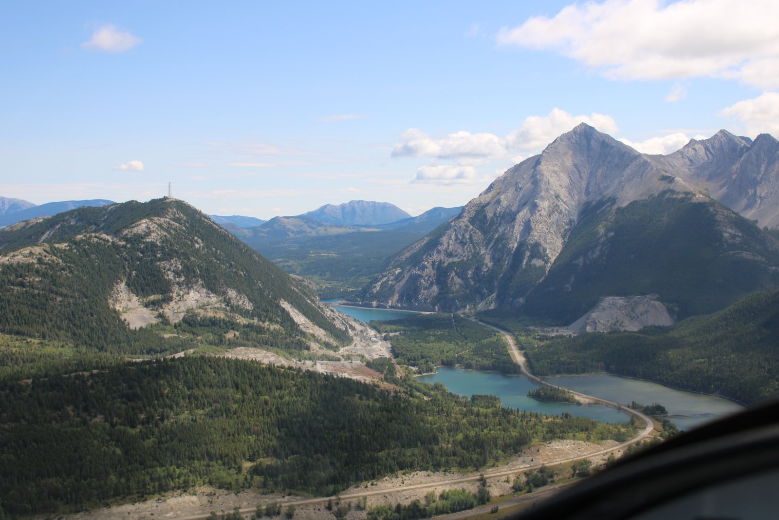
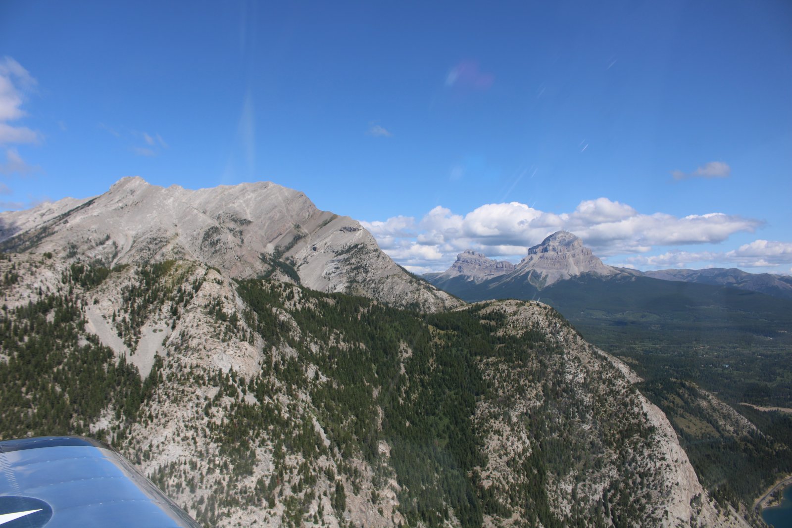
| Approaching a narrow pass just before reaching the town of Hazell. At this point I am leaving British Columbia and entering Alberta. |
| |
 |
|
| Distinctive Crows Nest Mountain stands alone at right at almost 9,000 feet. |
| |
 |
|
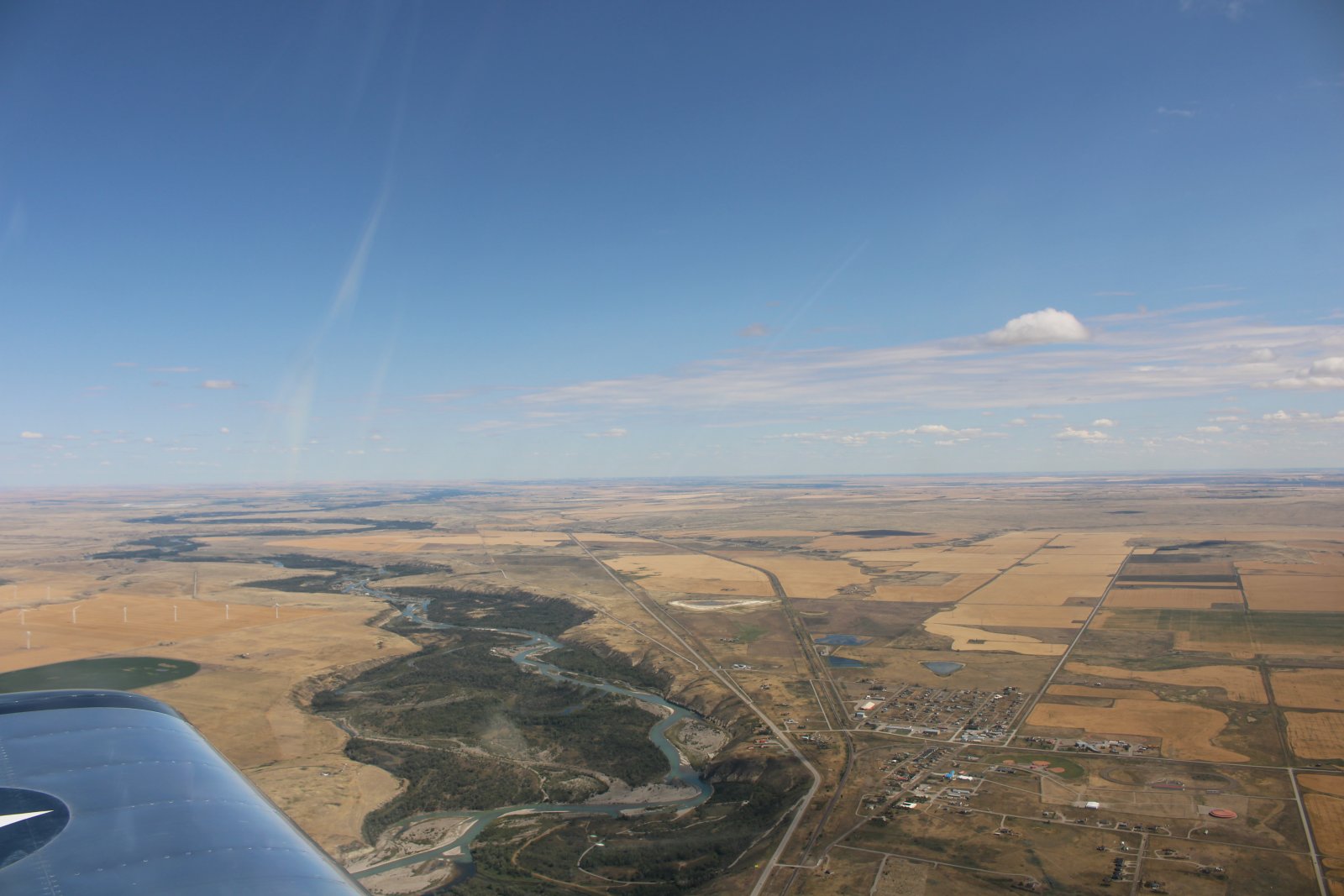
| And then I'm out of the Canadian Rockies and into the flatlands. |
| |
 |
|
|
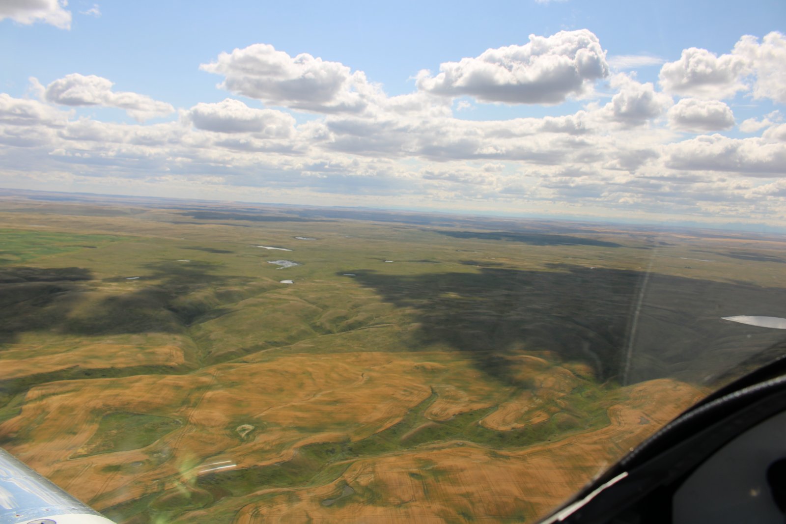
I fly around until its my appointed time to land at Whetstone Airport on the border and clear customs.
|
| |
 |
|
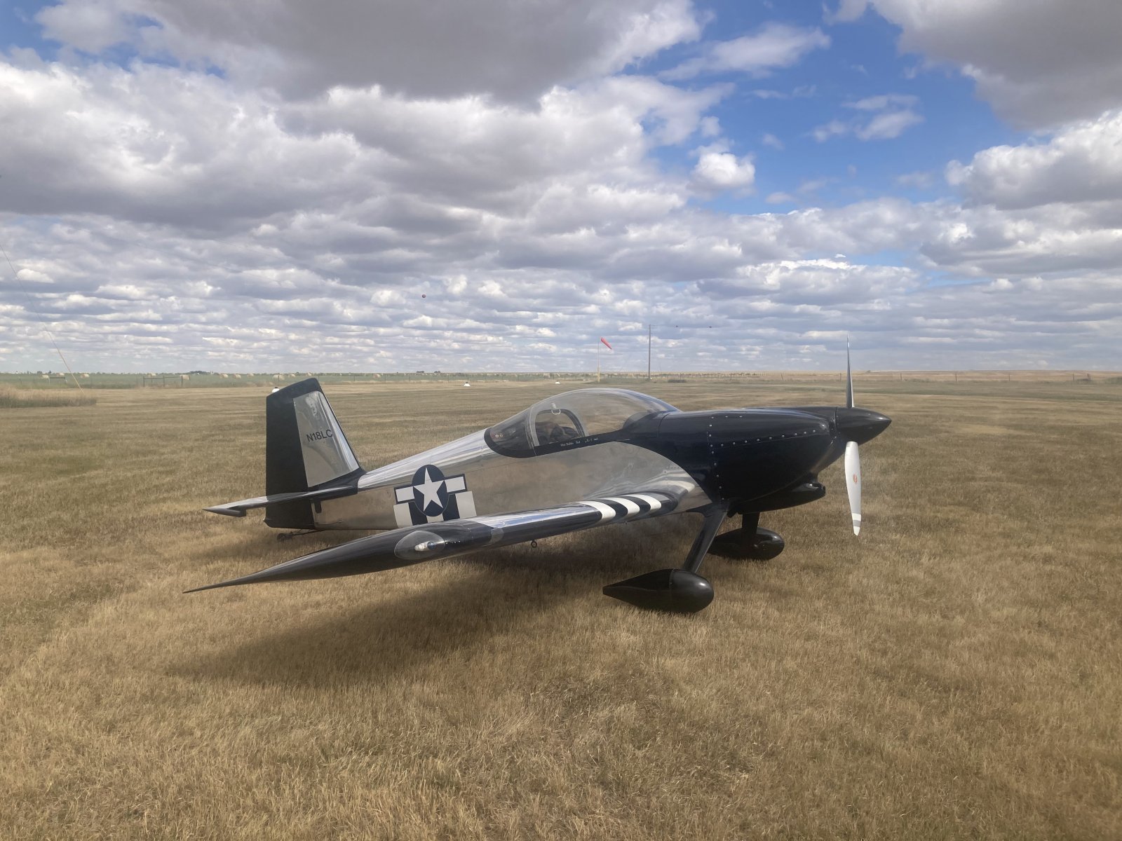
| Parked on the ramp at Whetstone International Airport. The plane faces south, towards the U.S. |
| |
 |
|
|
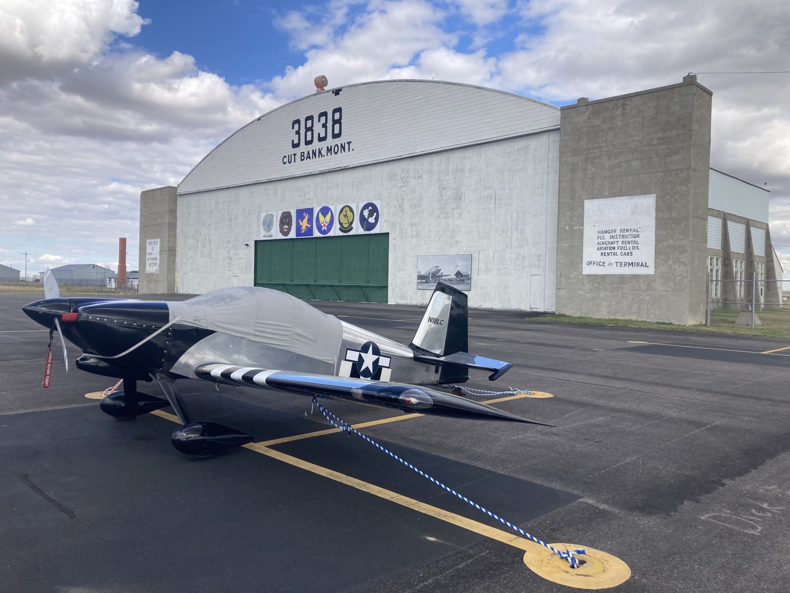
After clearing customs, it's only a short 10 minute flight to Cut Bank, Montana where I stop for the night.
|
| |
 |
|
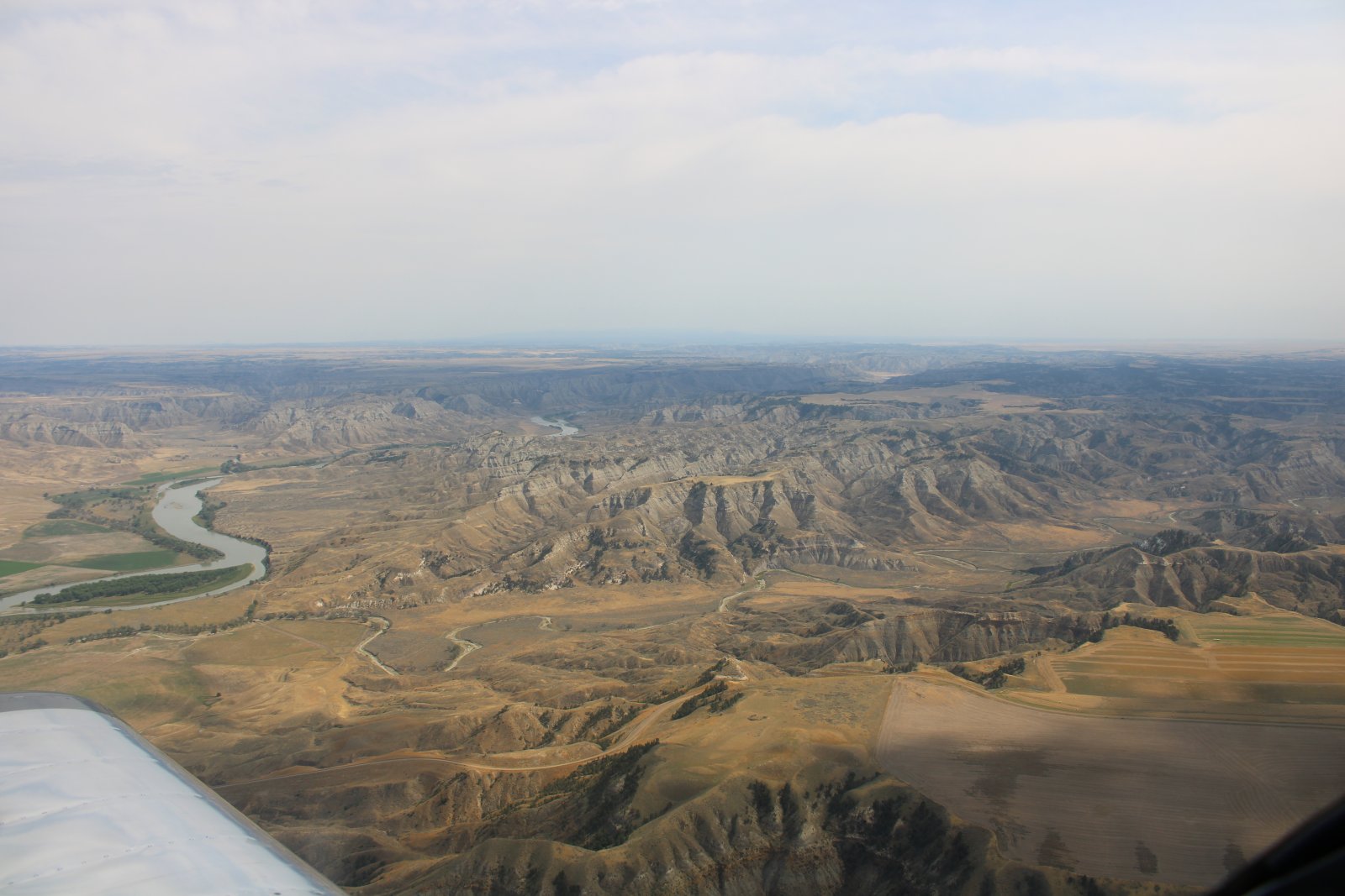
Rivers and creeks are everything in Montana.
|
| |
 |
|
| The Missouri River and Missouri Breaks stretches out to the northeast. |
| |
 |
|
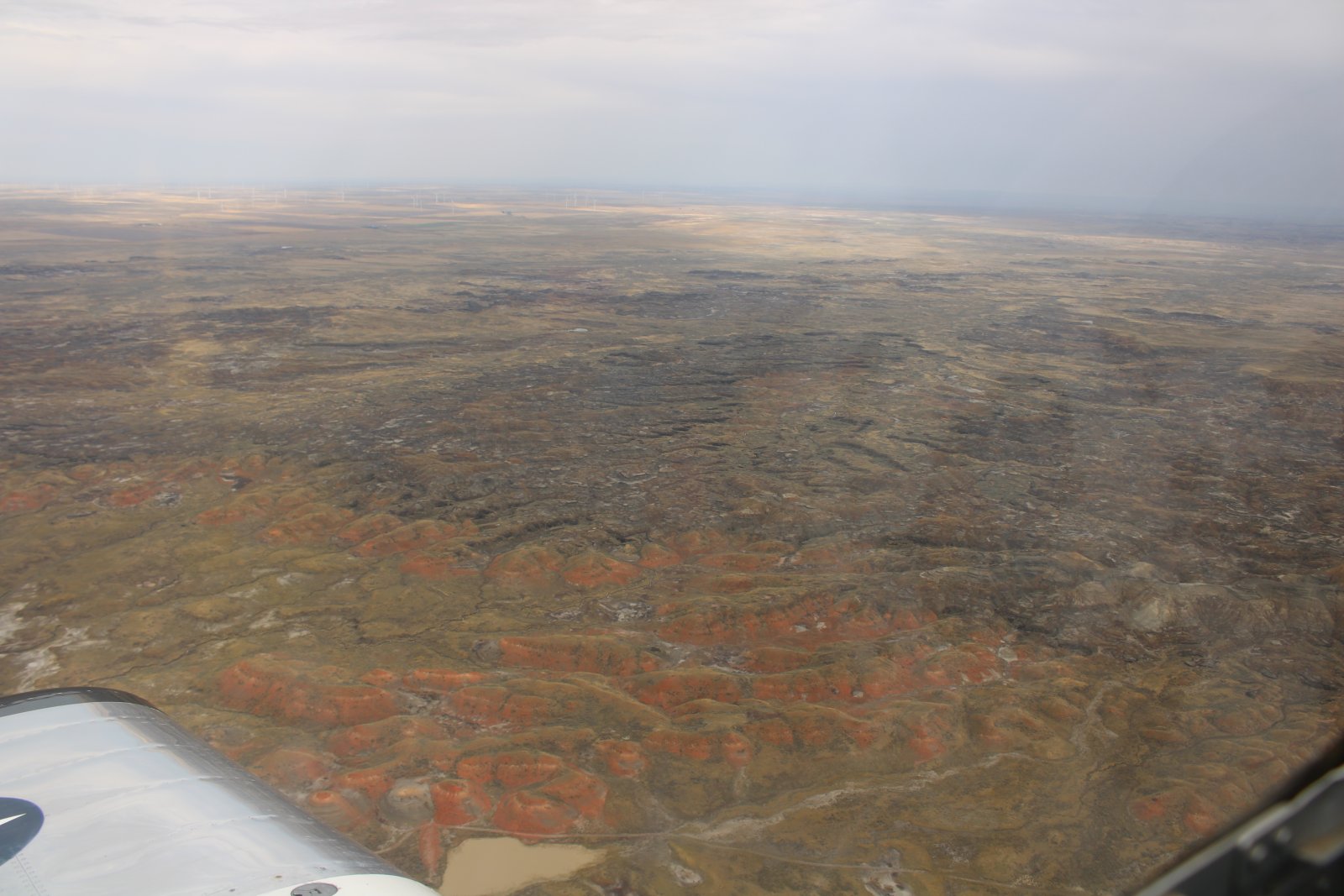
| Orange Badlands. |
| |
 |
|
|
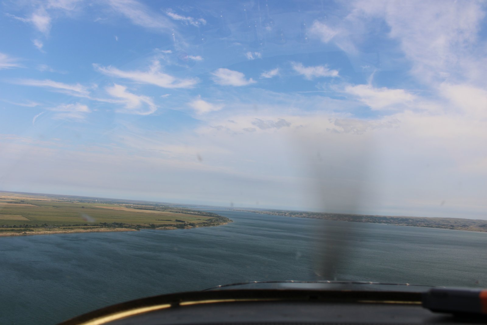
Reliving old times on the Missouri River.
|
| |
 |
|
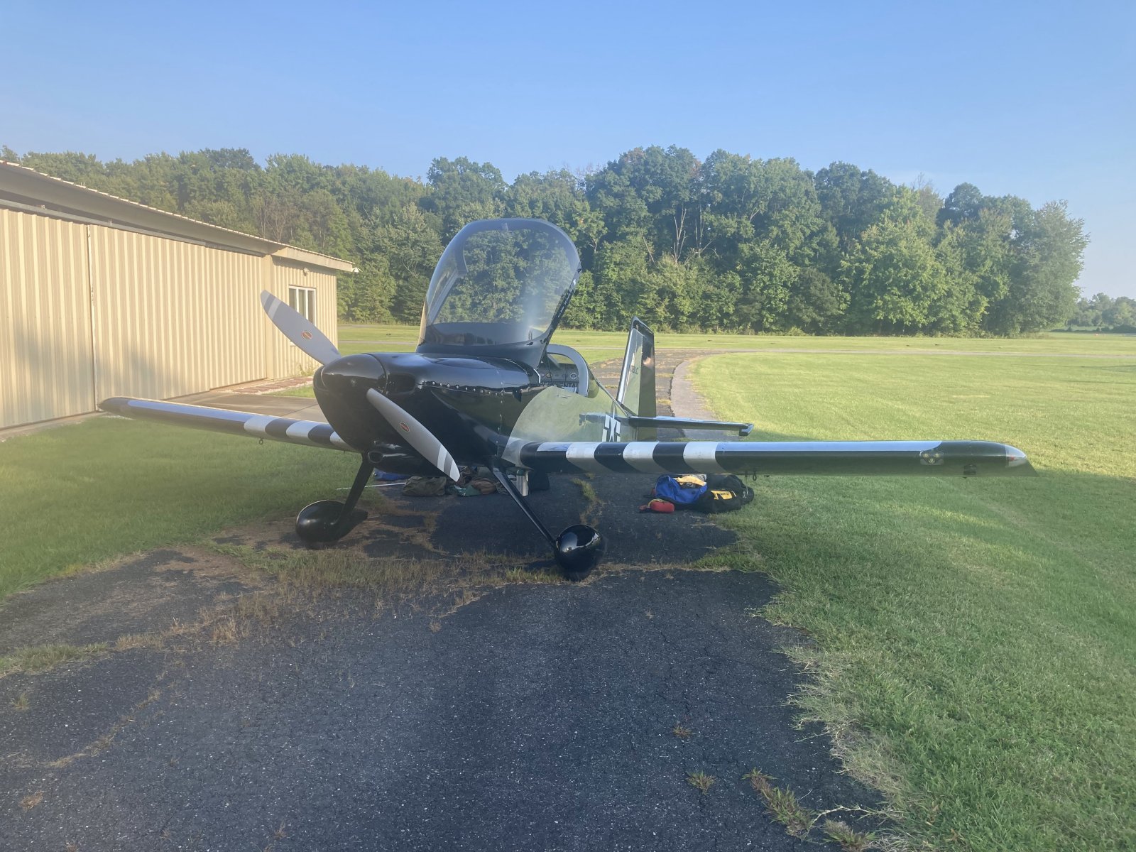
| Safe on deck at home base Essex Skypark, Maryland. Flight time of the entire trip: 63 hours. What a plane! |
| |
 |
|
| |
| |
|
|
|
|
|
|


