May 26, 2023 - Flight Home from Florida Part One
|
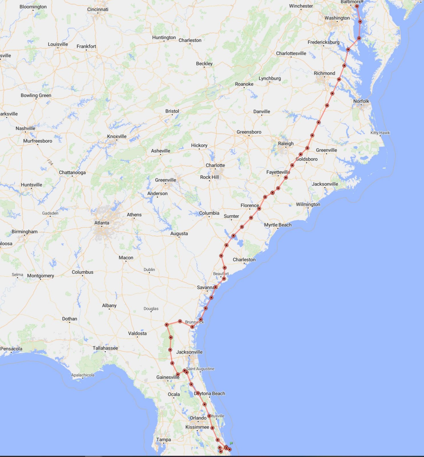
| Ah, my flying vacation was over all too soon. Friday morning I was in the air by 8am. The weather was great that early. But by the time I got to the south Jacksonville area, rain showers were all over the place and I had to deviate west to get to Waycross, Georgia. Also, no tailwinds this time. For the first two thirds of the flight home, I was only doing 130 mph over the ground. The disgrace! From Waycross, I cut over to Brunswick and the coast. But it was bumpy down low and when I started getting rained around Beaufort, I turned north to get out of the rain. After Lumberton, NC the weather cleared up and my speed gradually improved until by the time I got to Maryland, it was sunny and I was doing a nice 160 mph ground speed. |
| |
 |
|
|
Ellen ordered Bruce to get a selfie of us prior to me taking off. Manly aviators don't take selfies but we decided to do it for Ellen. So here it is.
|
| |
 |
|
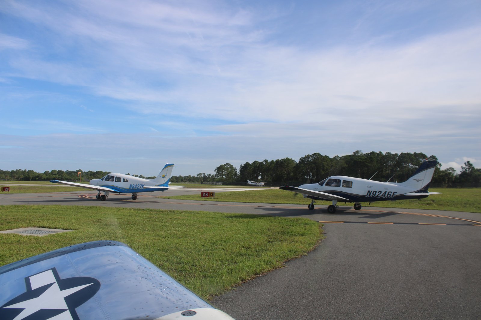
| A lot of training takes place at Sebastian Airport. I had to wait in line to take off. |
| |
 |
|
|
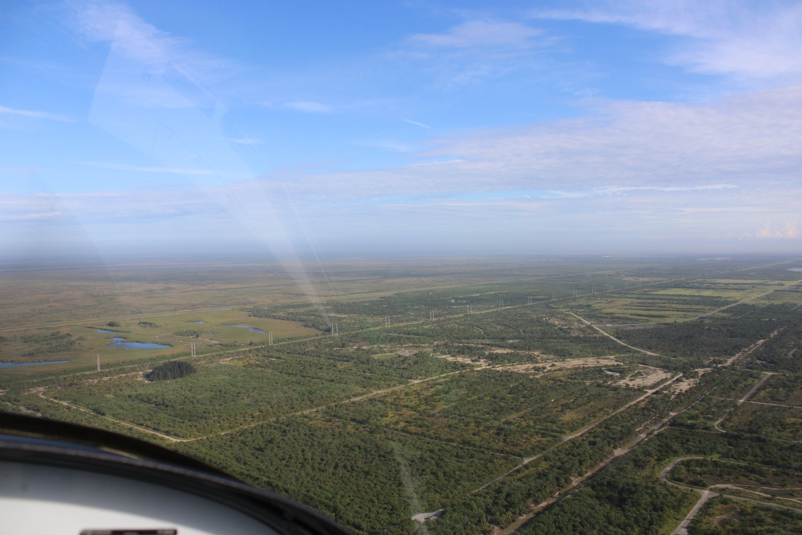
Heading northwest out of Sebastian, into the flat country.
|
| |
 |
|
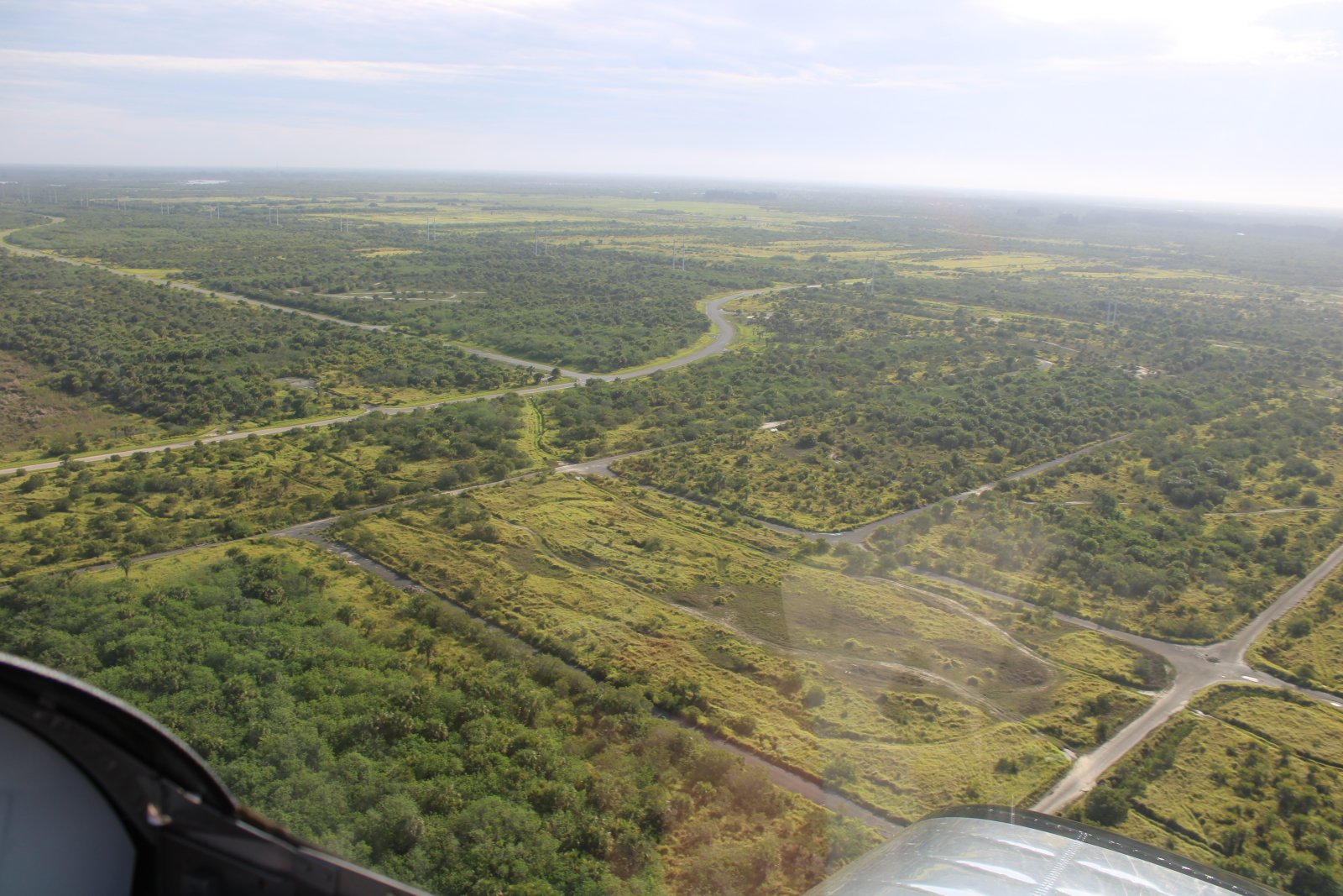
| Not much civilization in Florida once you get away from the coast. |
| |
 |
|
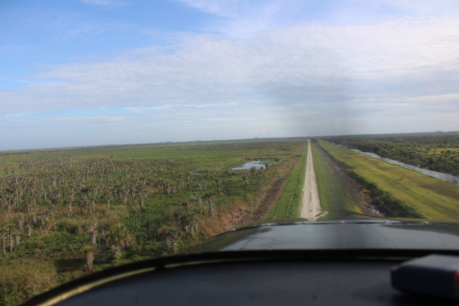
| Following a levee north at low level. |
| |
 |
|
|
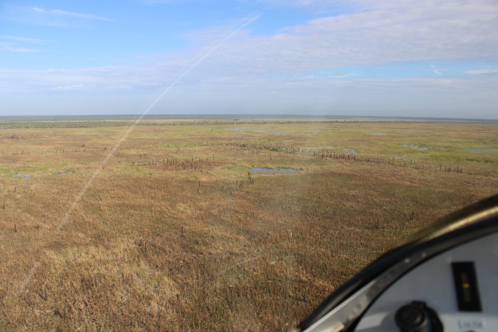
A low-level flyer's paradise.
|
| |
 |
|
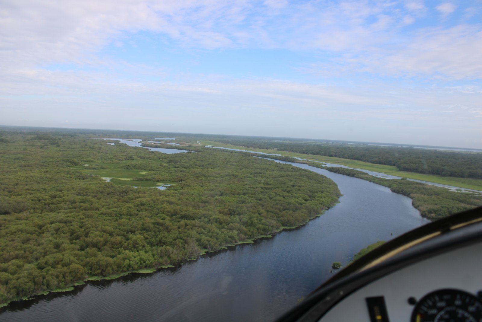
| Following a river. |
| |
 |
|
|
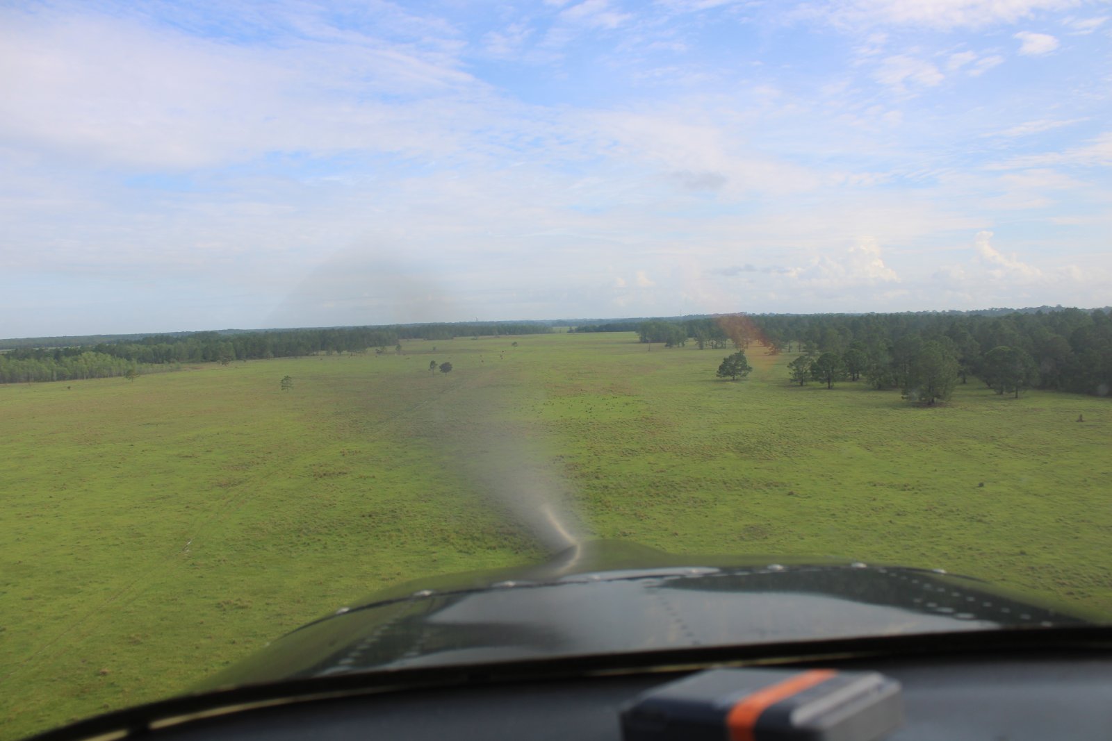
Checking out a large field.
|
| |
 |
|
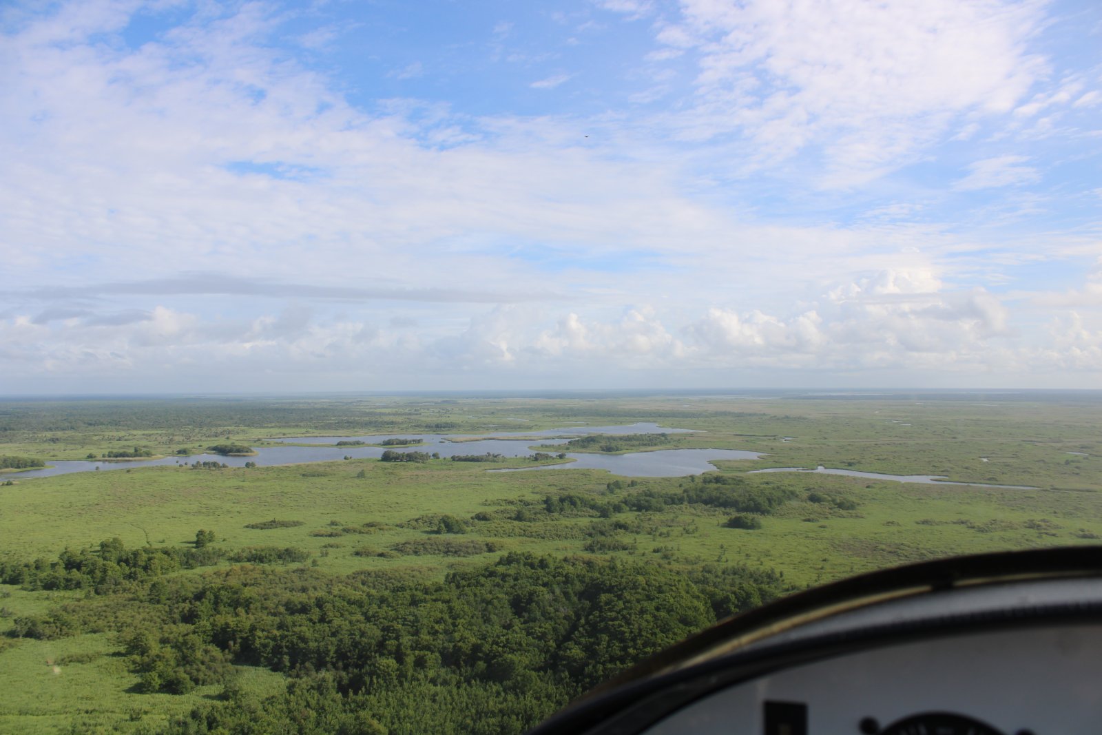
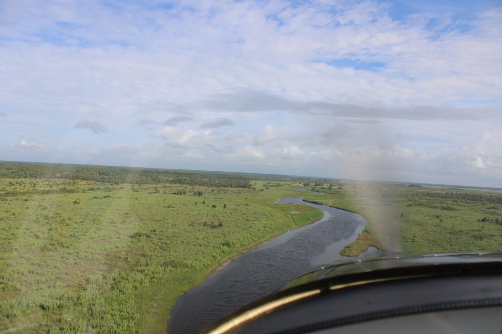
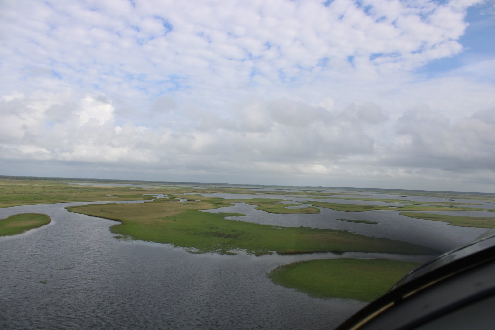
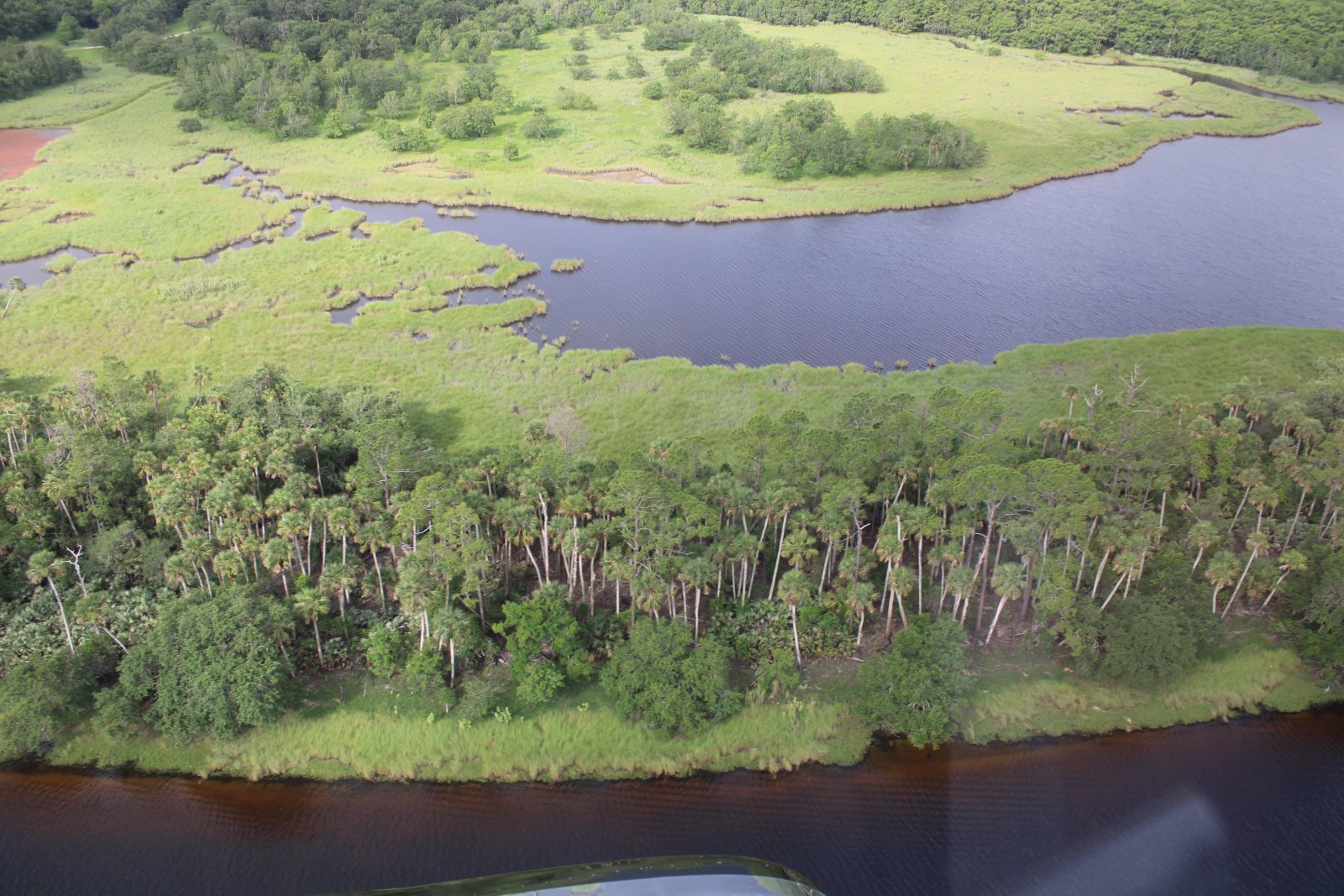
| A huge marshy area opened up in front of me. |
| |
 |
|
| Reminds me of the Blackwater Marsh in Maryland. |
| |
 |
|
| |
| |
 |
|
|
|
| |
 |
|
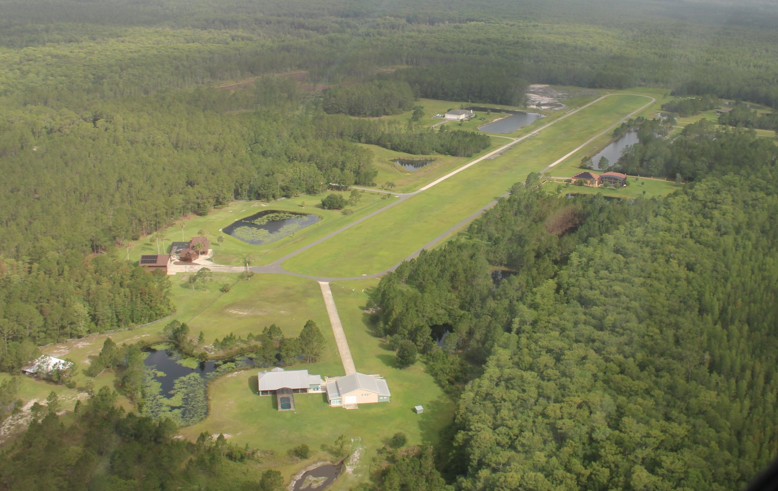
| I pass by an upscale aviation community on a grass strip called Lafayette Landings. It's 11 miles west of Daytona Beach. |
| |
 |
|
|
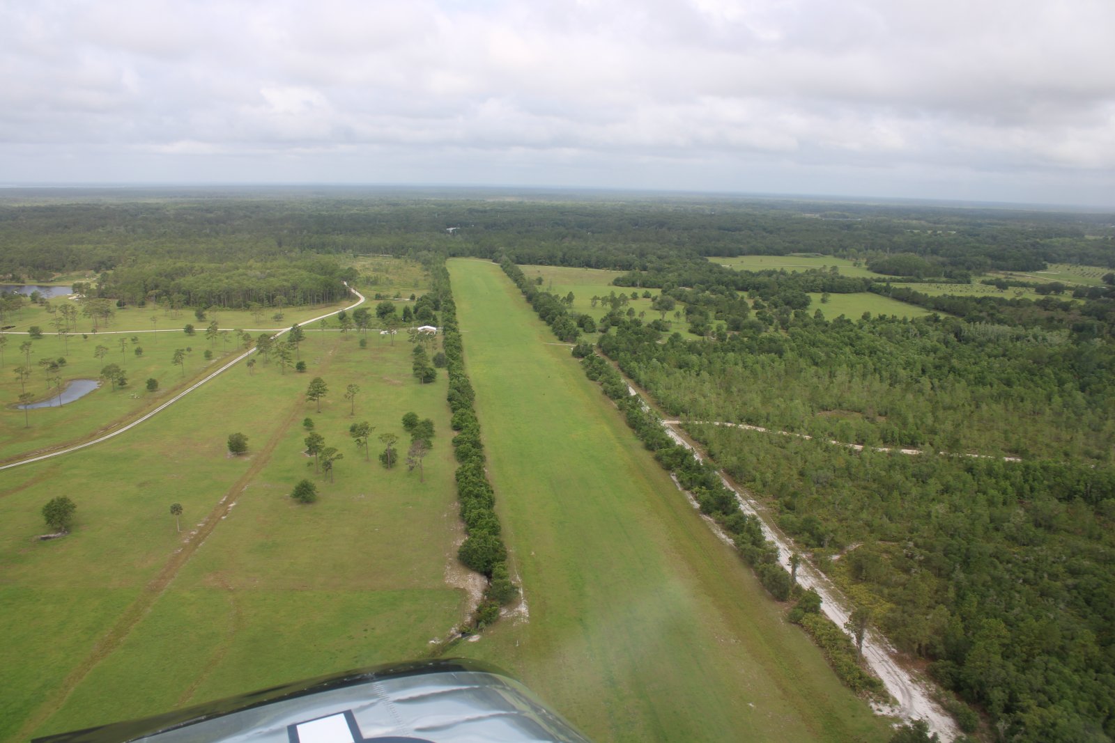
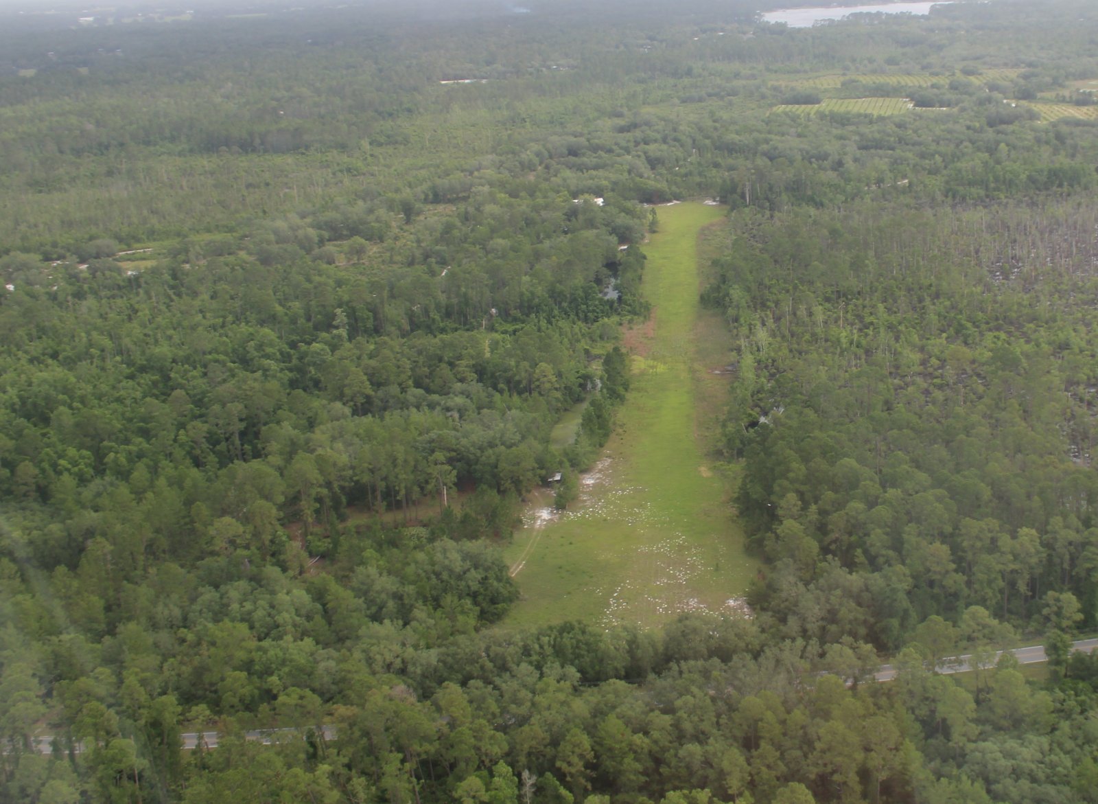
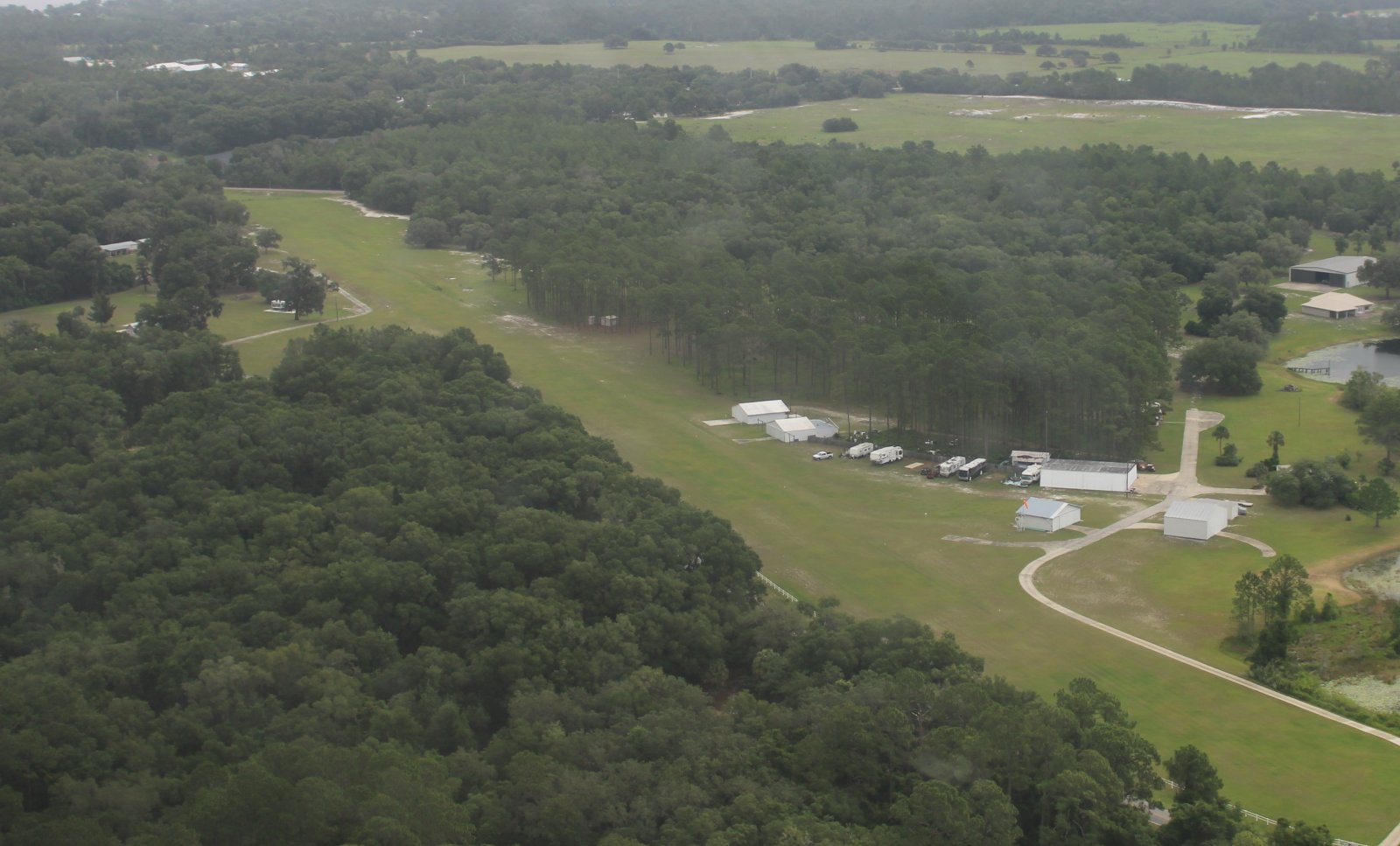
There were five private grass airstrips all close together by Crescent Lake so I decided to check them out. Here is the first one. It's Skinner's Wholesale Nursery Airstrip.
|
| |
 |
|
| Here's the next one. |
| |
 |
|
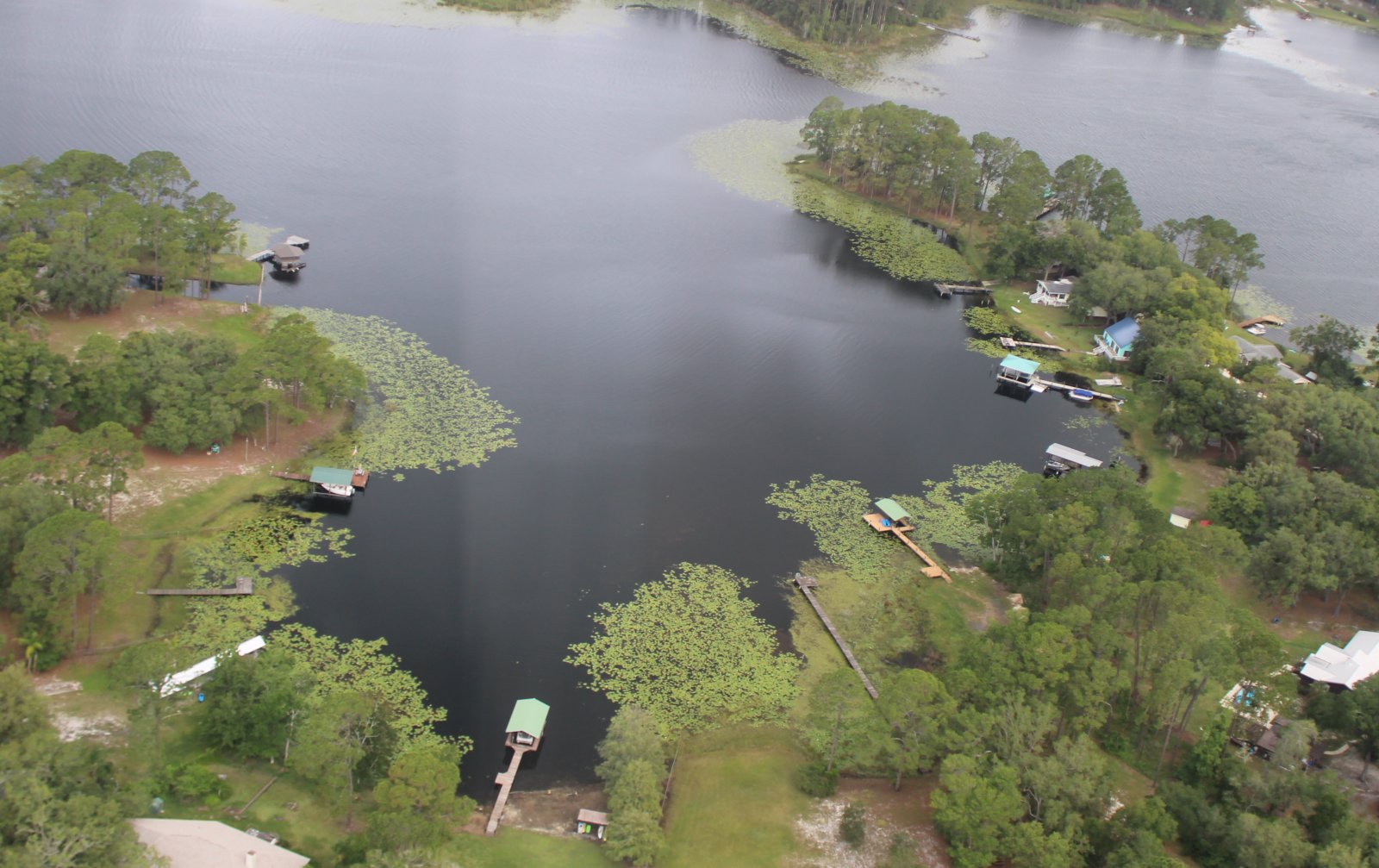
| Not a grass strip, but a nice scene of waterfront houses. |
| |
 |
|
| Passing by Thunderbird Airpark. |
| |
 |
|
|
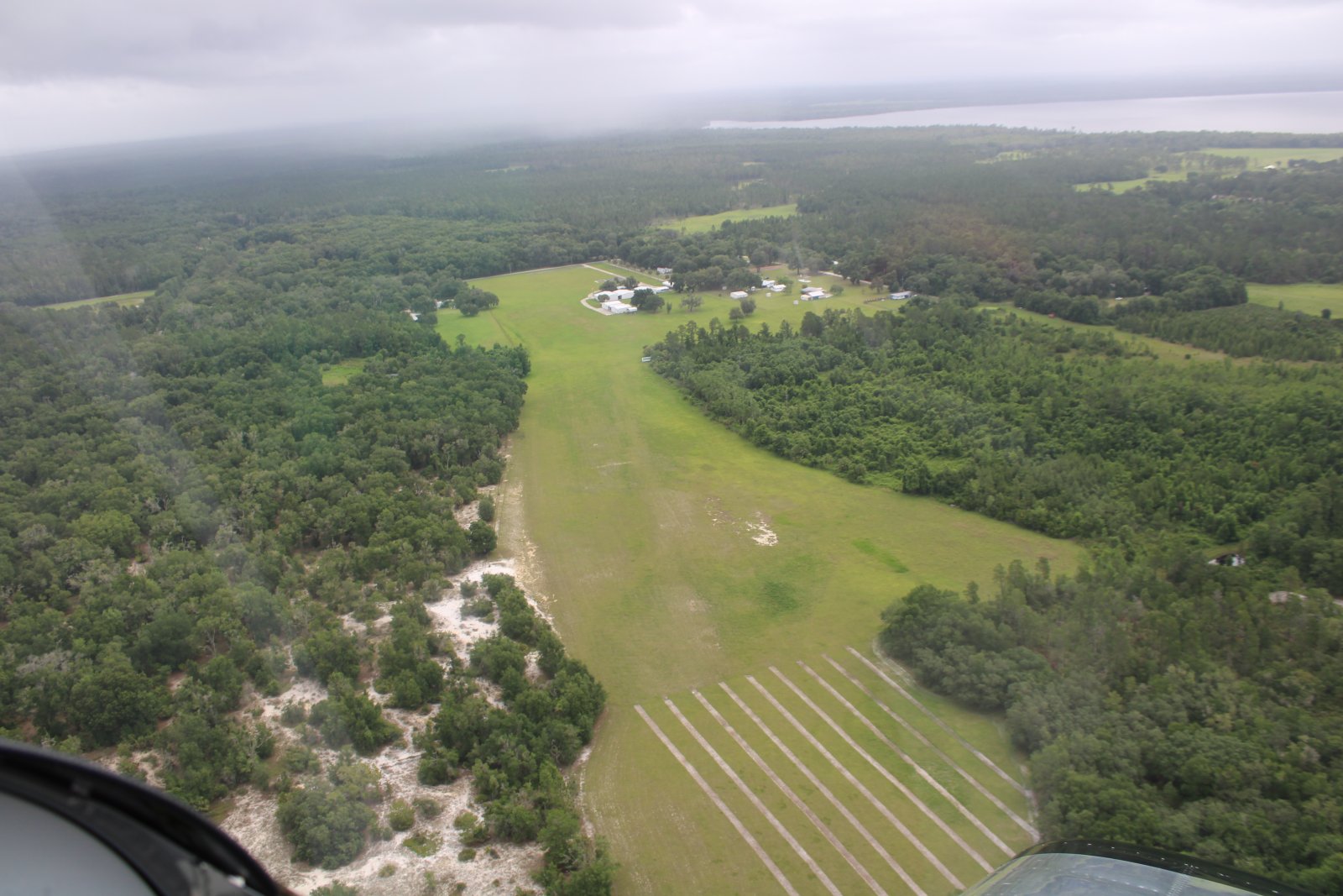
And finally, Ponoma Landing Airport. This one was a former World War II Army Air Forces emergency landing field. It was closed after the war and abandoned..
|
| |
 |
|
|
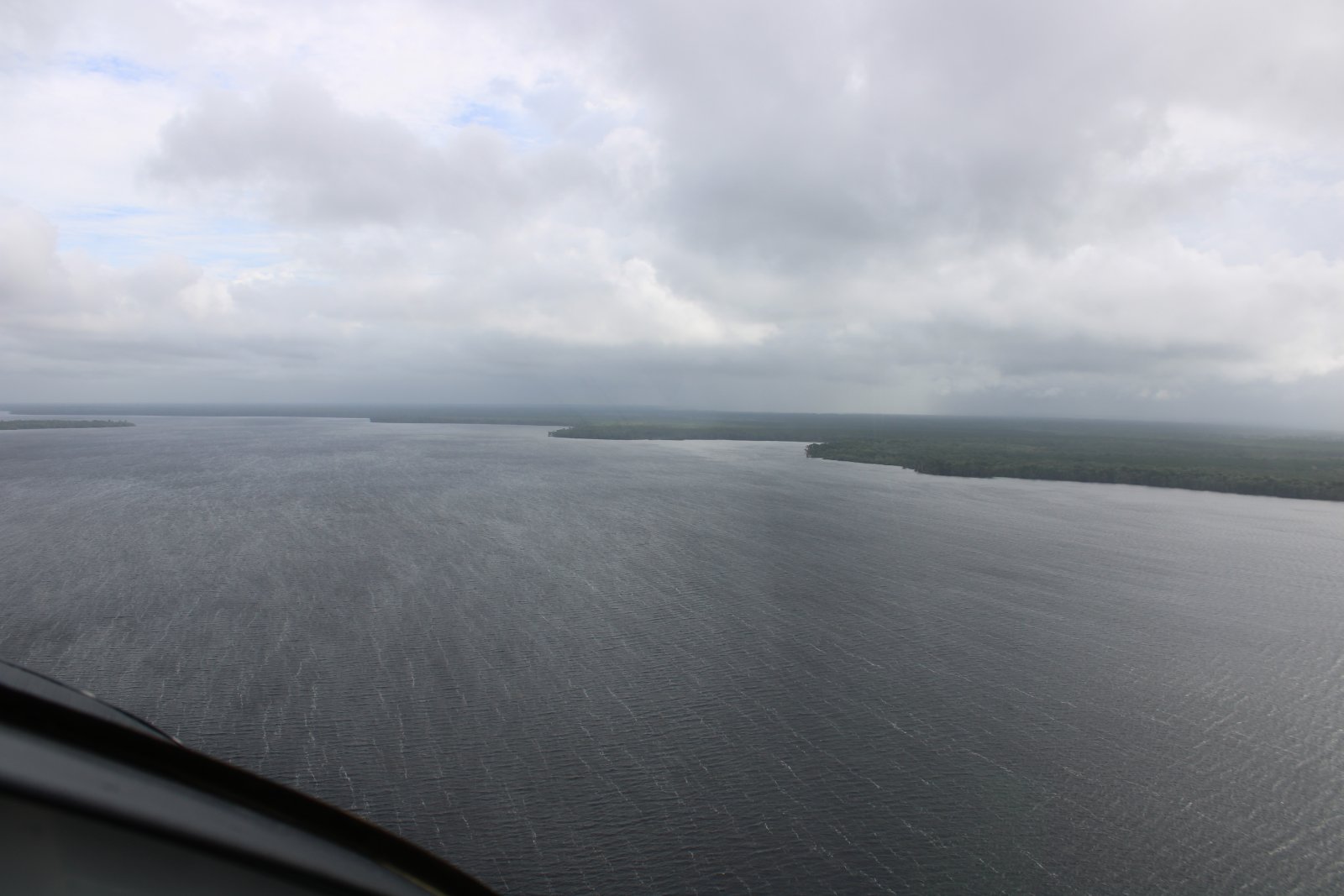
Now I'm on the big St. Johns River. The river was angry today, my friend.
|
| |
 |
|
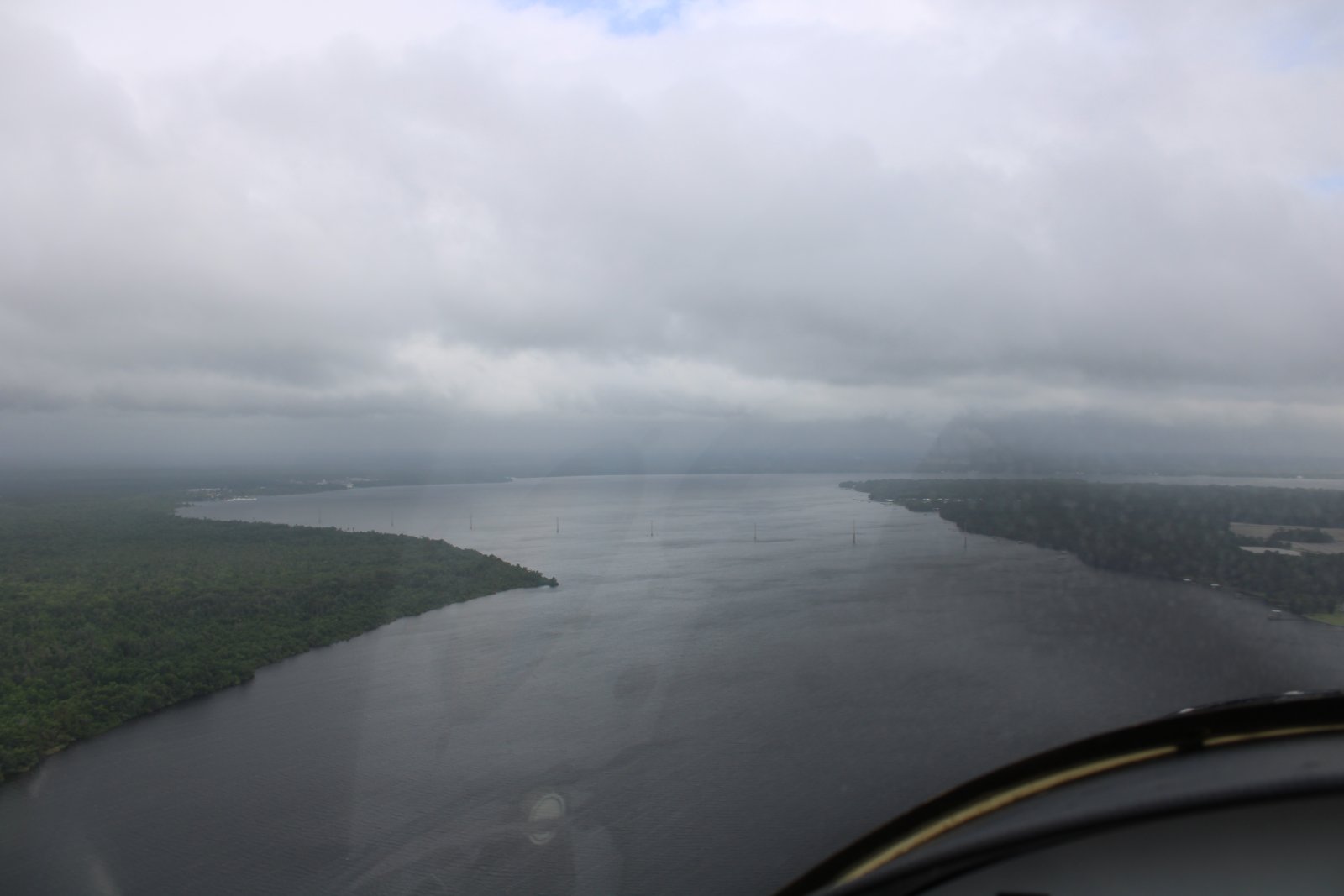
Further up the river, the clouds turned into a low overcast and rain was ahead. Plus there was all sorts of Class D and Class C airspace ahead. I decided to angle off to the northwest in hope of finding better weather and less restricted airspace.
|
| |
 |
|
|
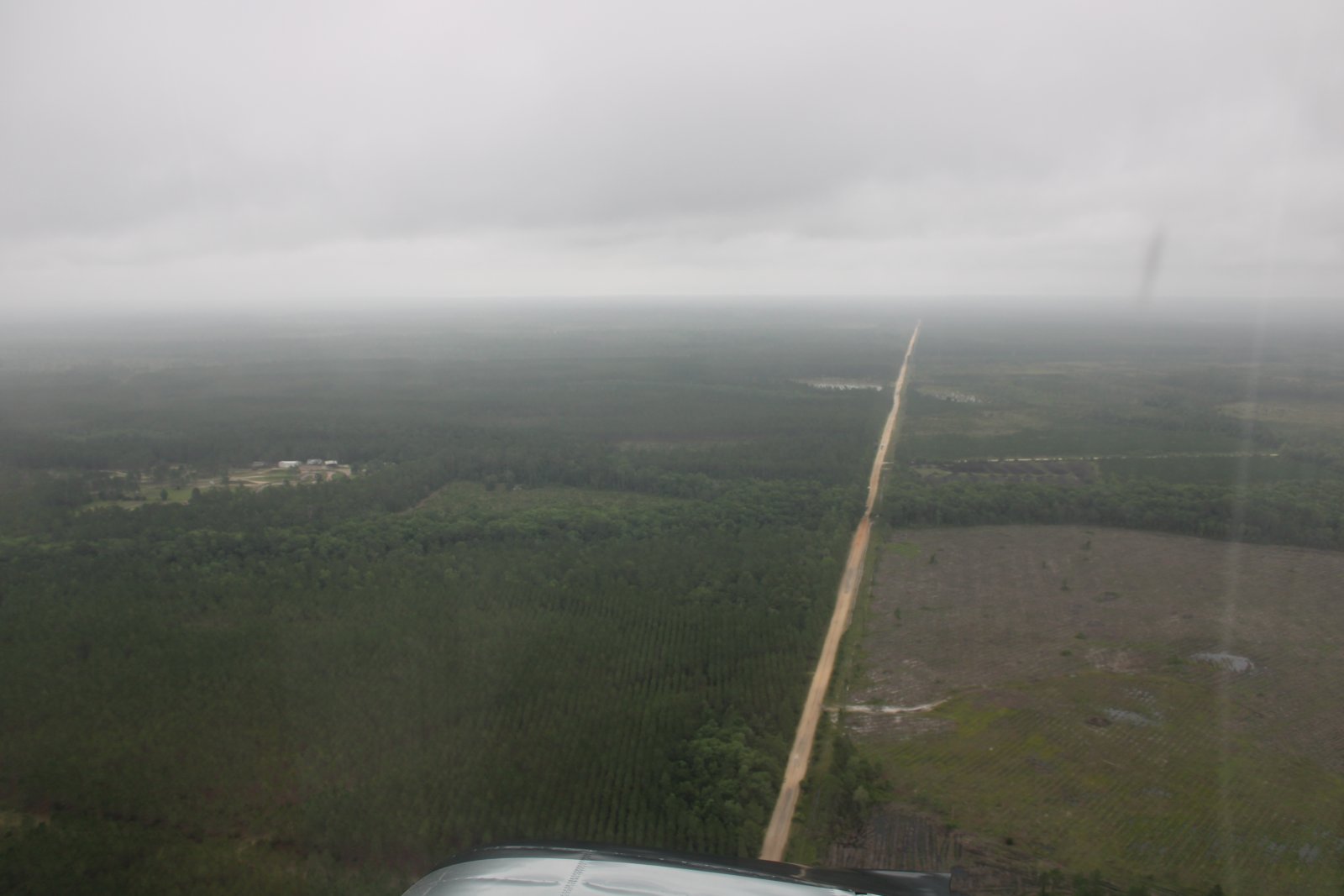
I ran into rain clouds so low I had to turn around and head due south. I couldn't even turn west because of a restricted area. Finally, around Palatka, I was able to turn west and along the southern edge of the restricted area. Thankfully, the weather was much better to the west.
|
| |
 |
|
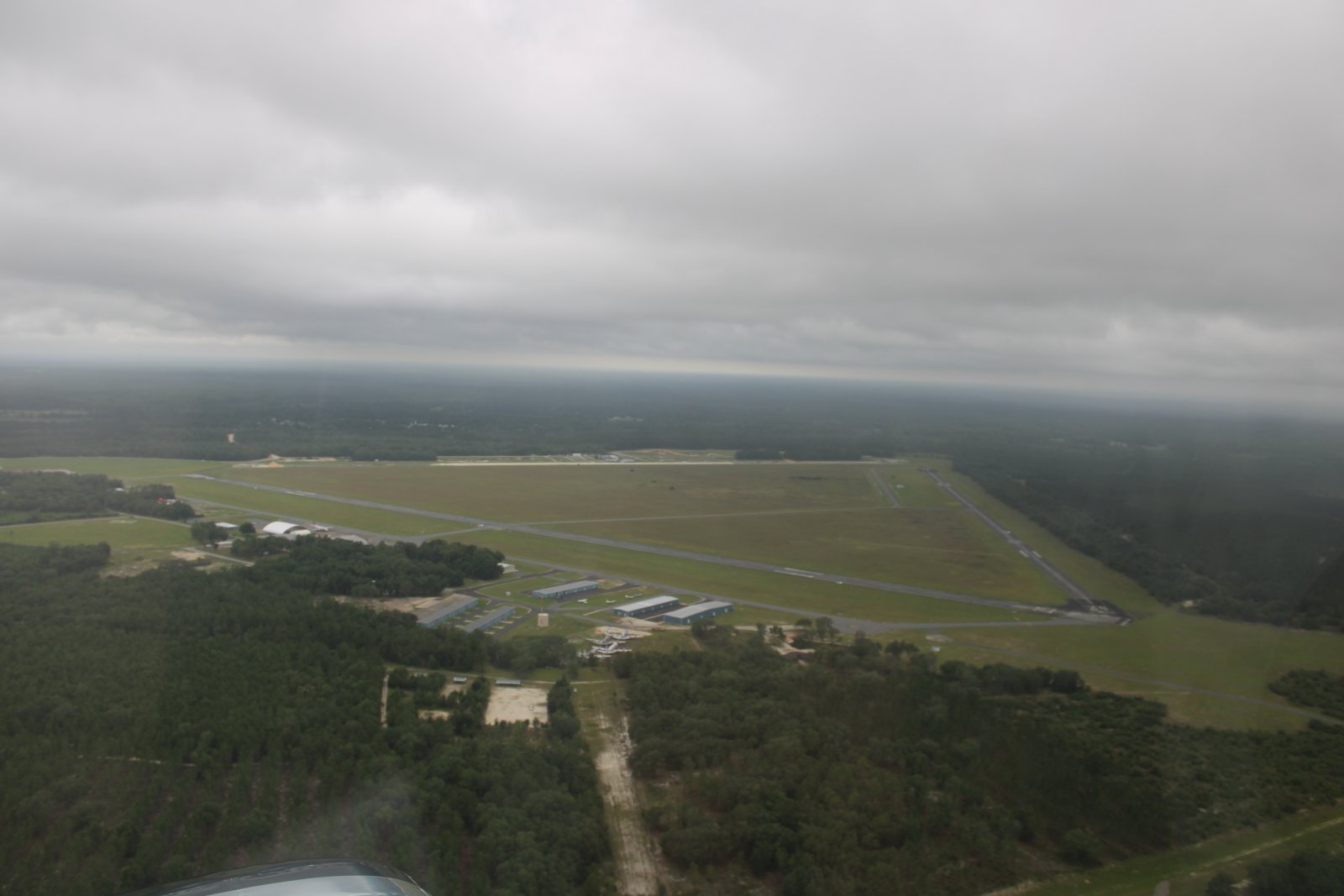
| I came across Keystone Heights Airport (42J). It looked familiar and then I realized it was one of the airports I stopped at on the 2003 Baby Ace Miami to Baltimore flight. |
| |
 |
|
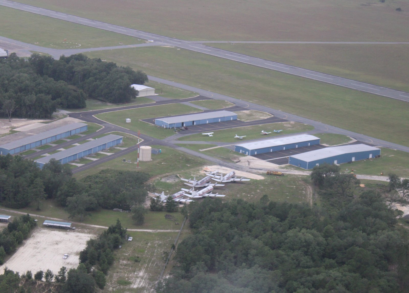
| Those look like Lockheed Electras down there. |
| |
 |
|
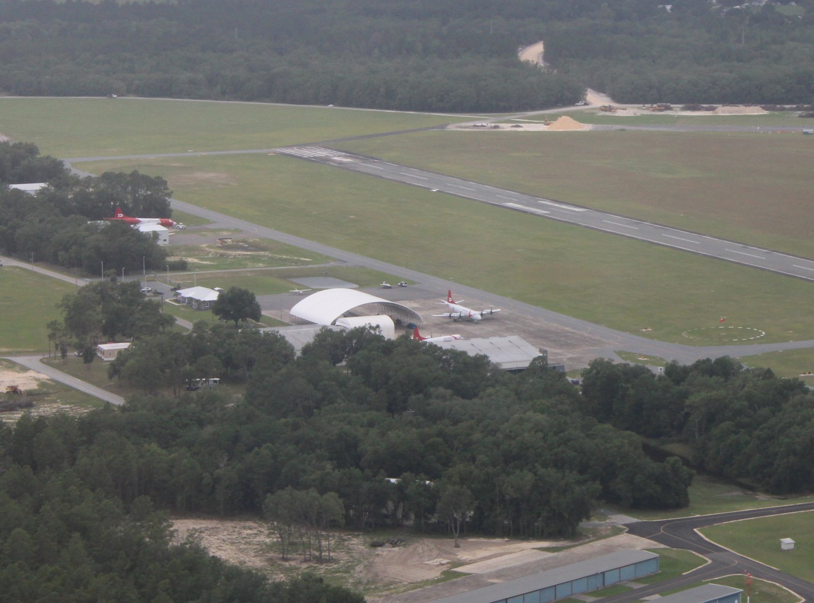
| And then I saw three P-3 Orions. Unlike the Electras, these look airworthy. In case you don't know, the U.S. Navy P-3 Orion maritime patrol aircraft was a derivative of the Lockheed Electra commercial airliner. |
| |
 |
|
|
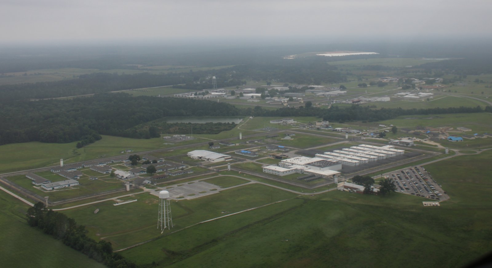
Now heading north towards Waycross I passed this massive prison complex.
|
| |
 |
|
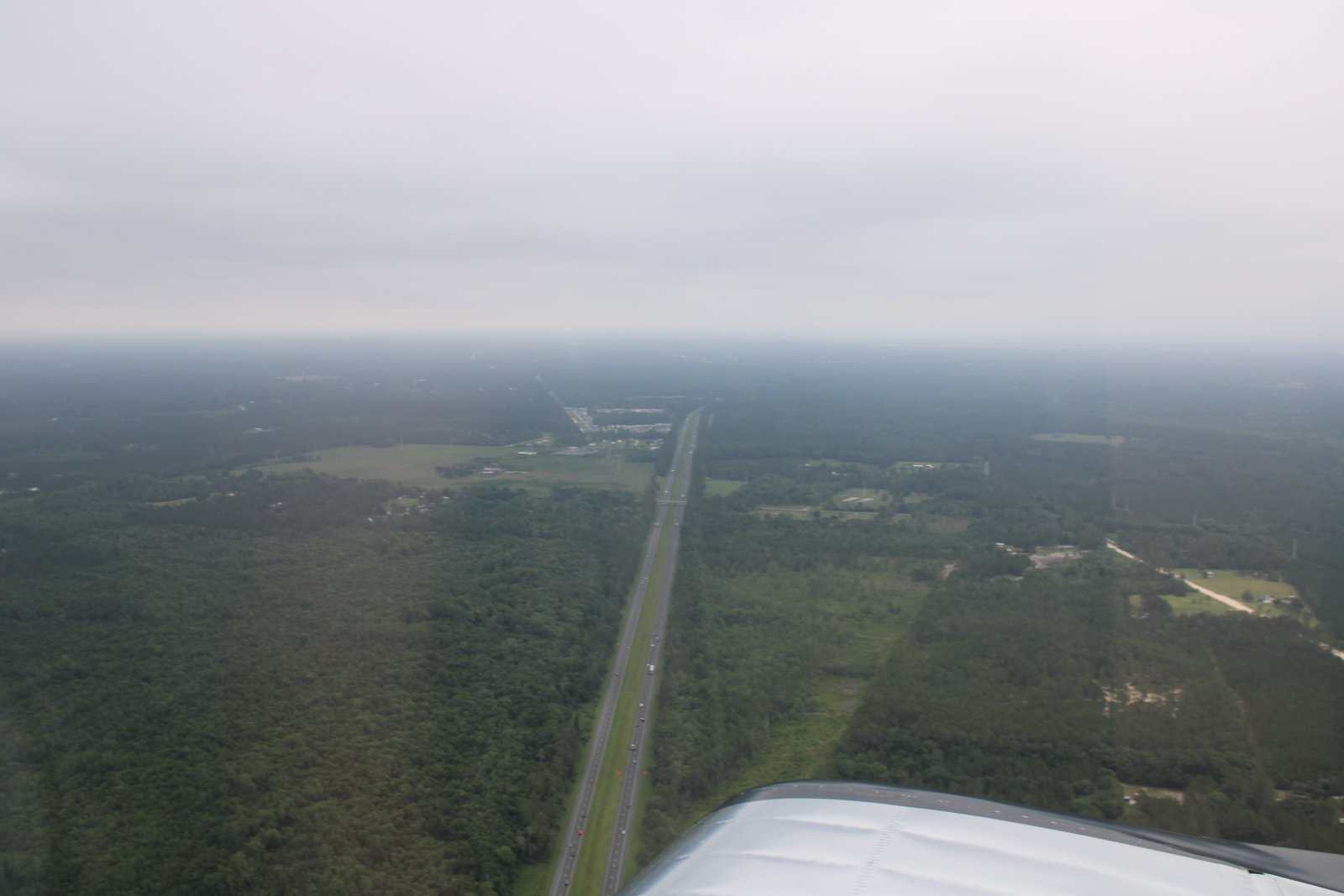
| Looking east at Interstate 10. |
| |
 |
|
|
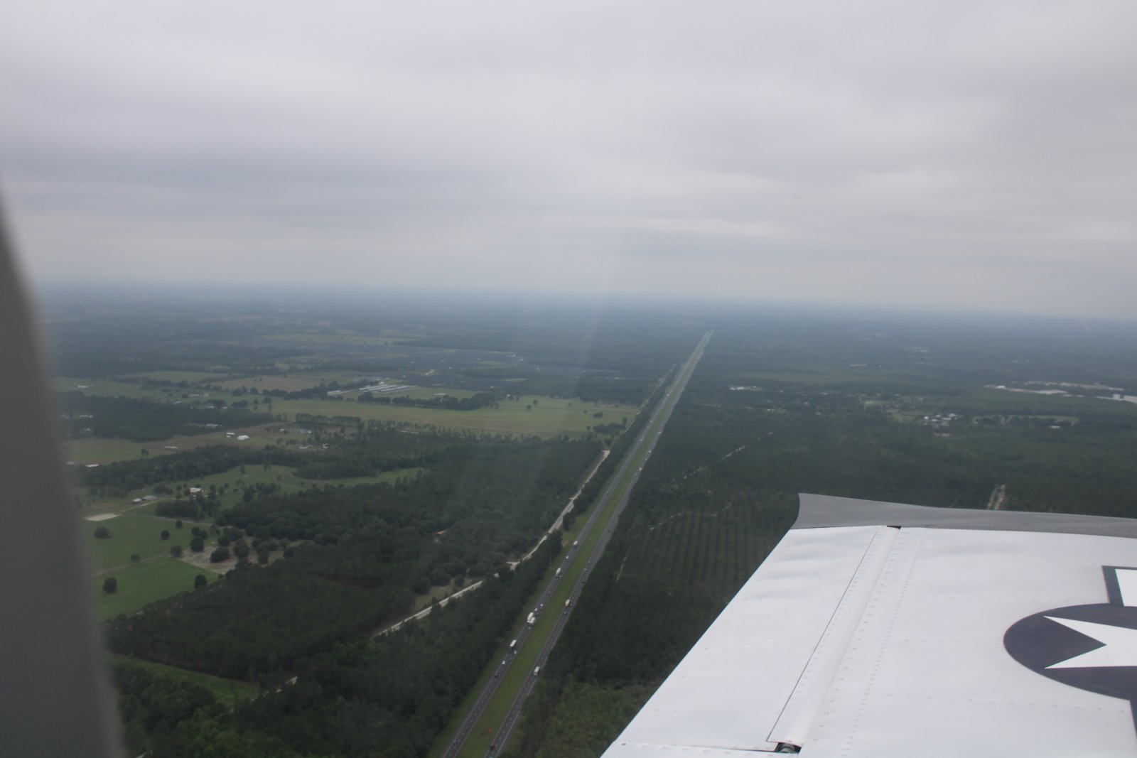
And west.
|
| |
 |
|
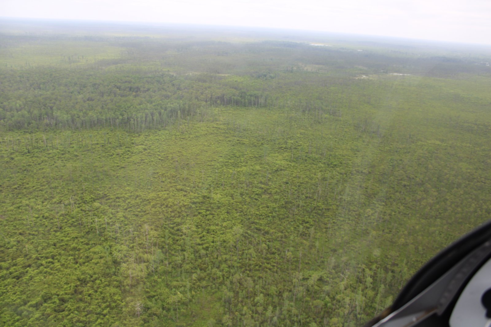
| Soon I was over the Okefenoke Swamp. At first it was mostly woods. |
| |
 |
|
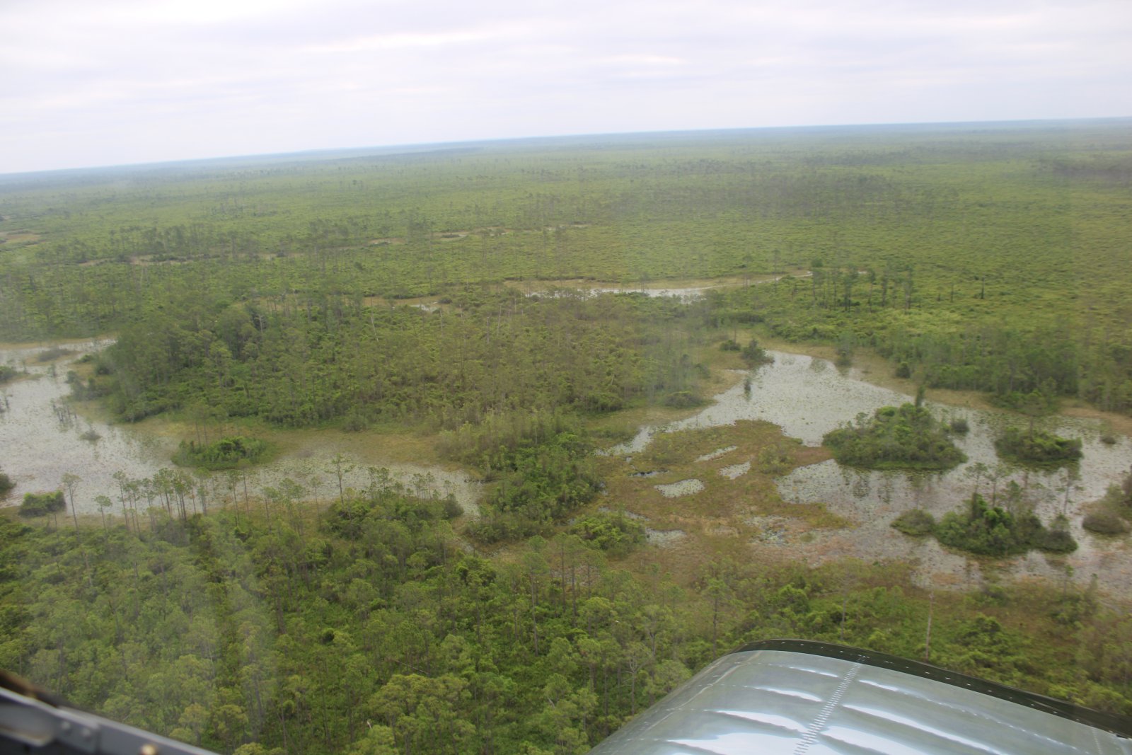
| But then I started seeing a lot of water. |
| |
 |
|
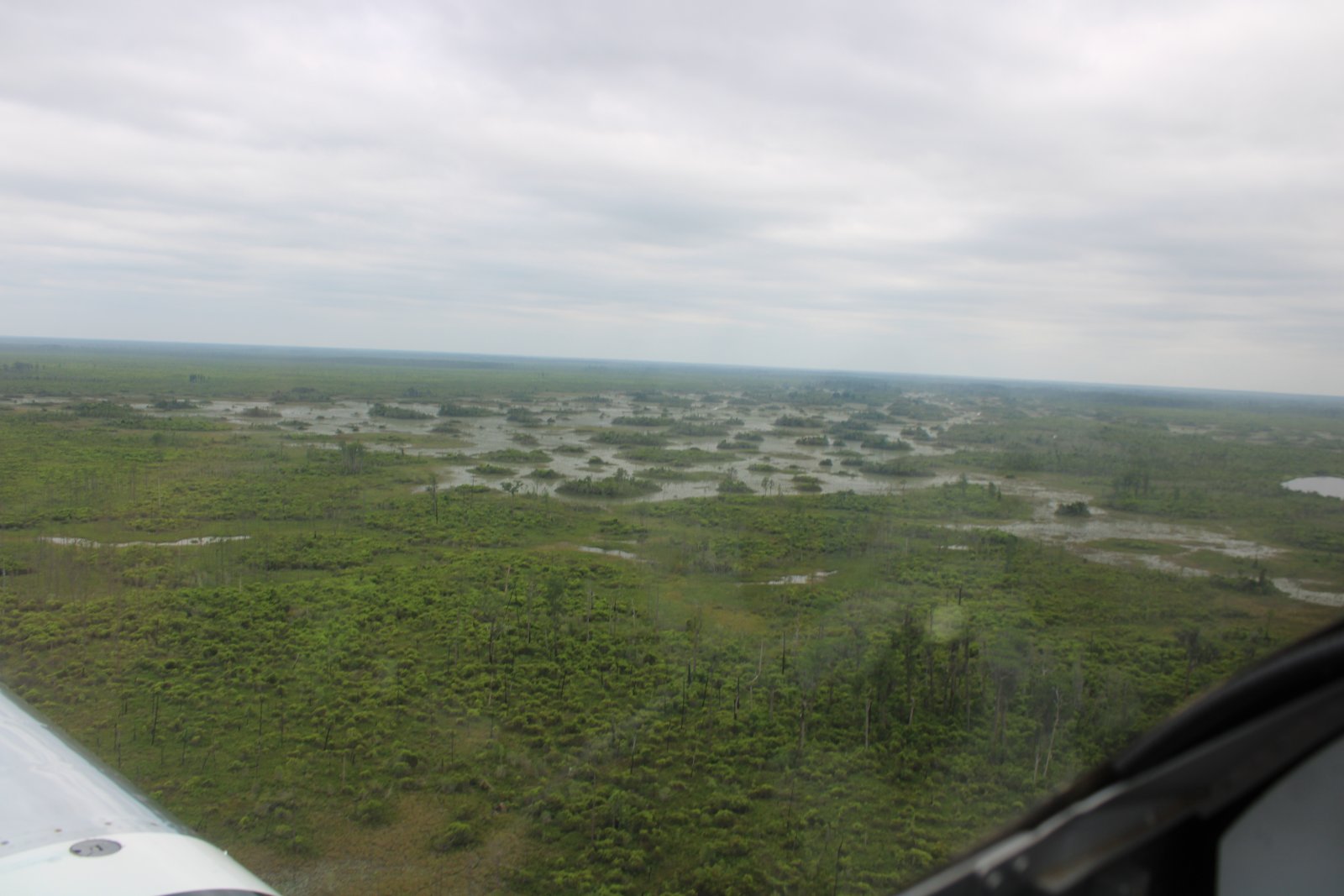
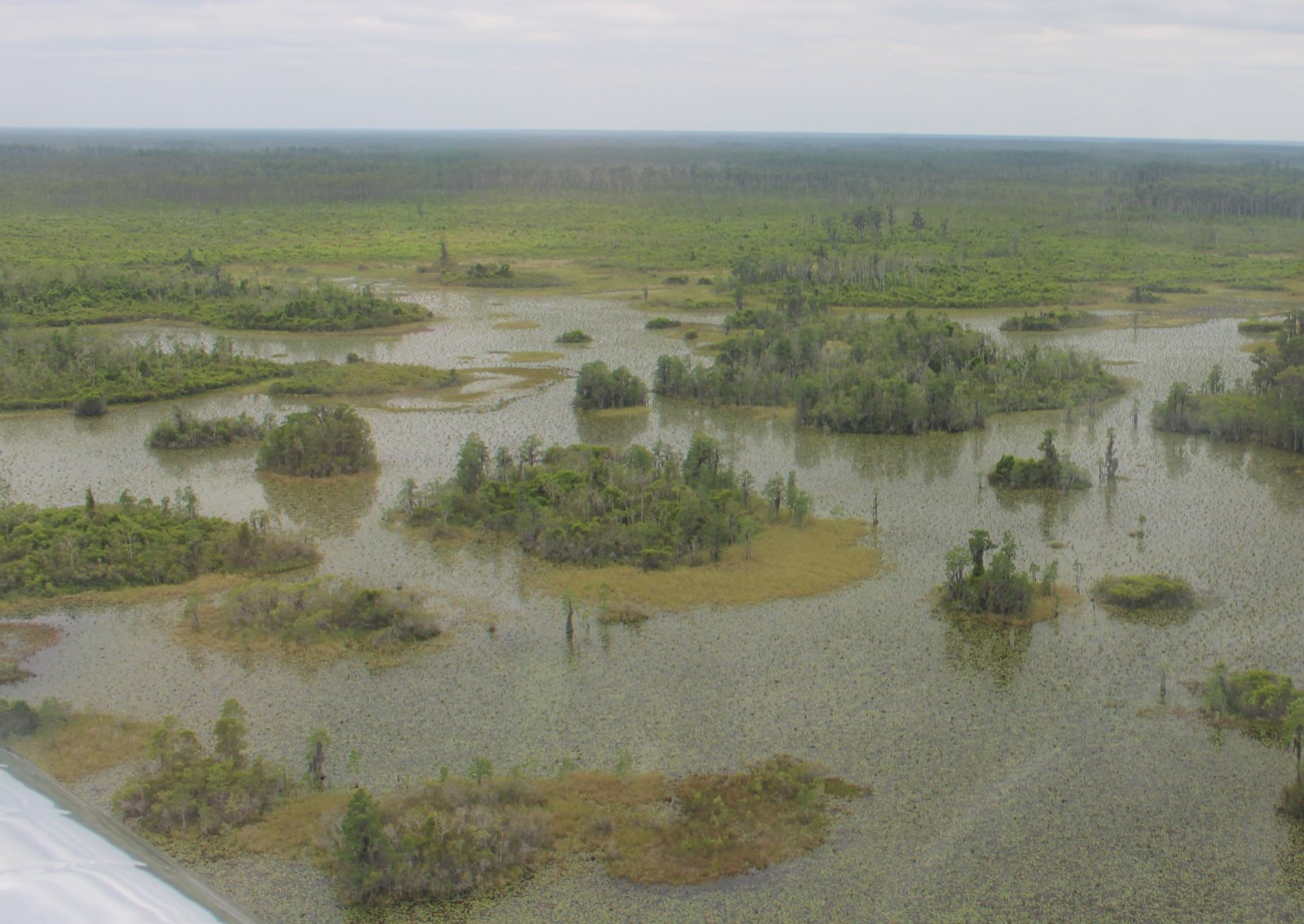
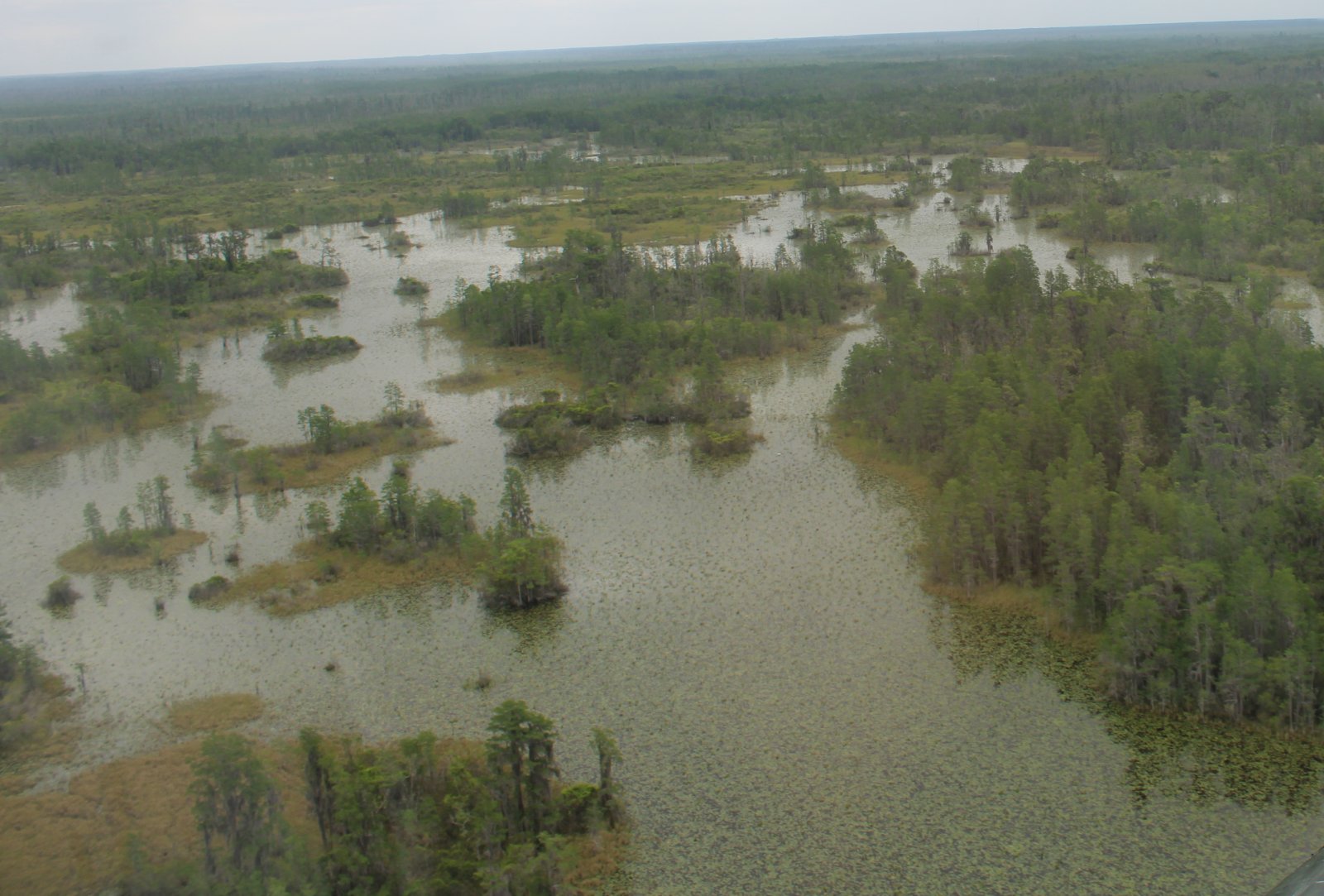
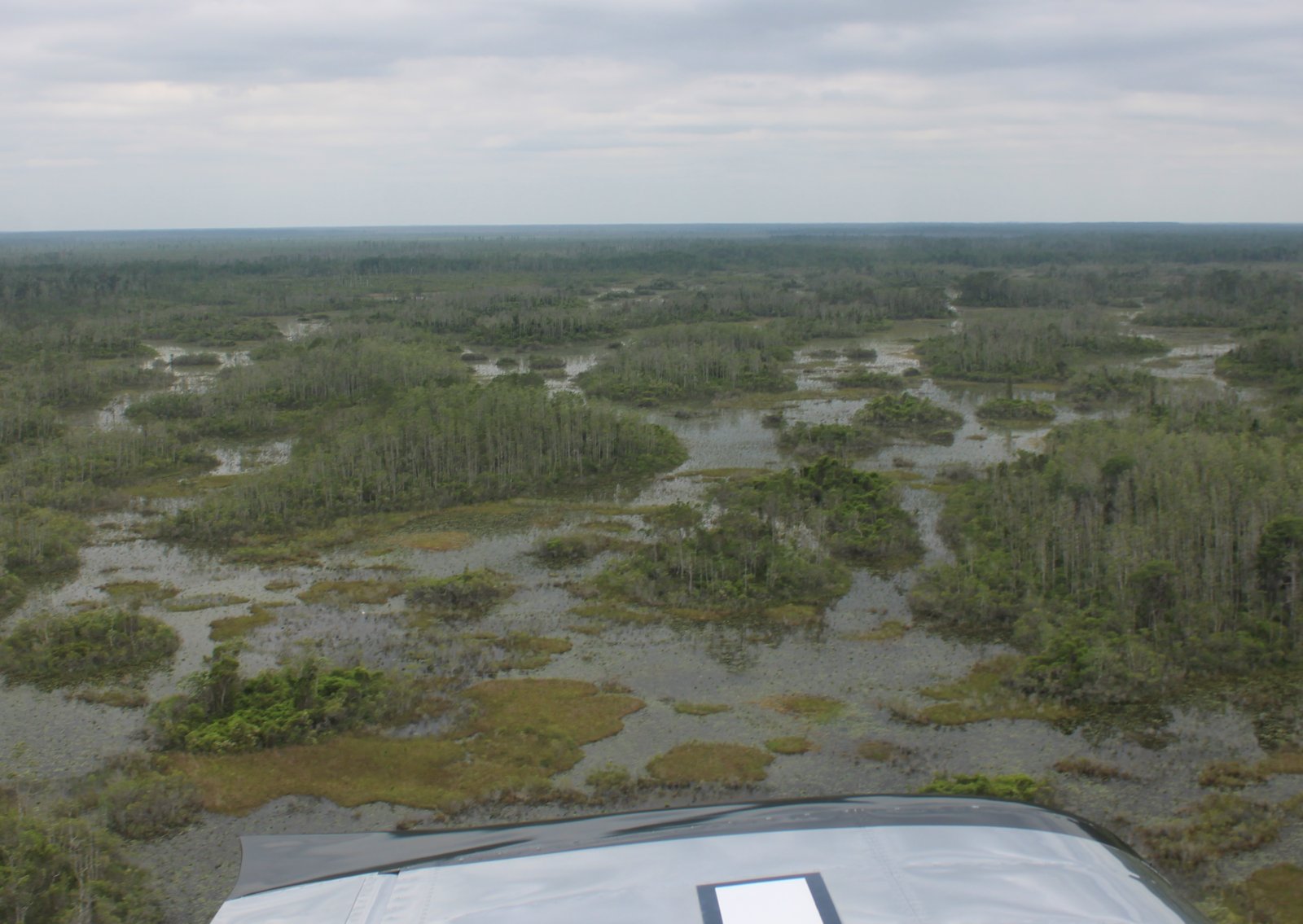
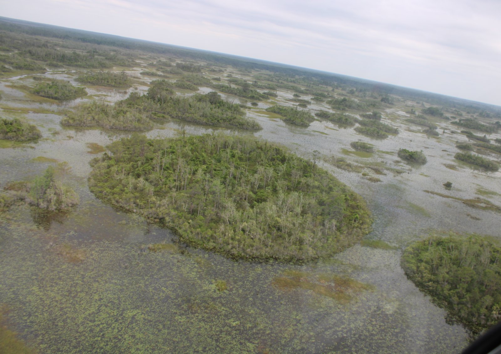
| Approaching a very interesting part of the Okefenoke. |
| |
 |
|
|
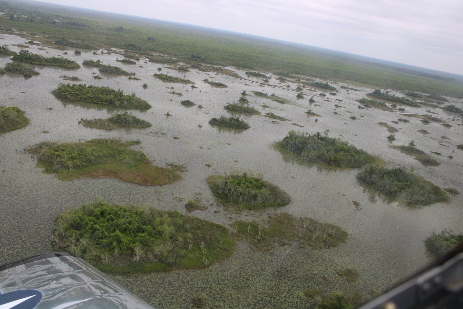
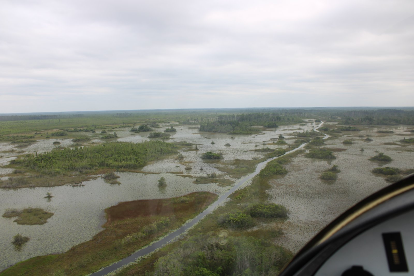
It was very scenic from the air.
|
| |
 |
|
| |
| |
 |
|
|
|
| |
 |
|
| Probably lots of gators down there but I didn't see any. |
| |
 |
|
| |
| |
 |
|
| |
| |
 |
|
|
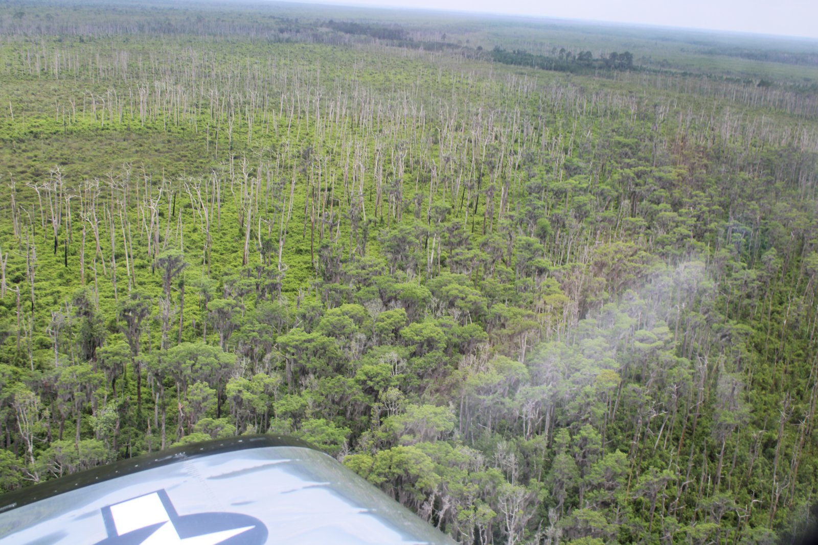
And then back to forest again.
|
| |
 |
|
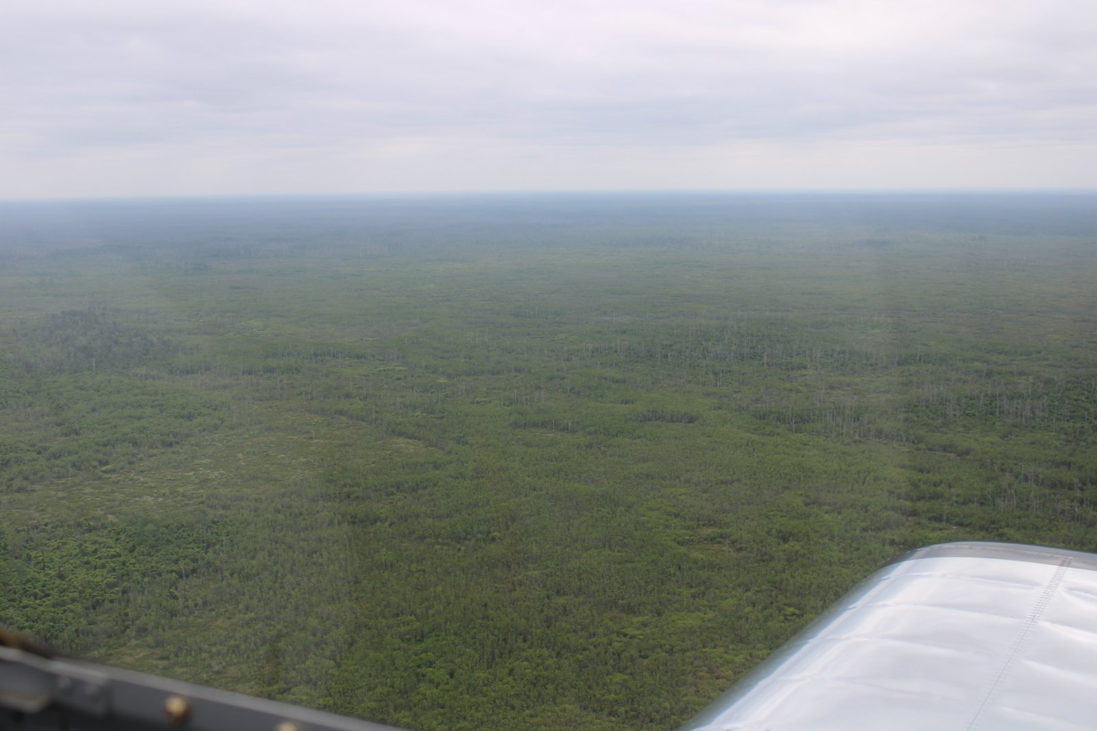
| Trees as far as the eye can see. |
| |
 |
|
|
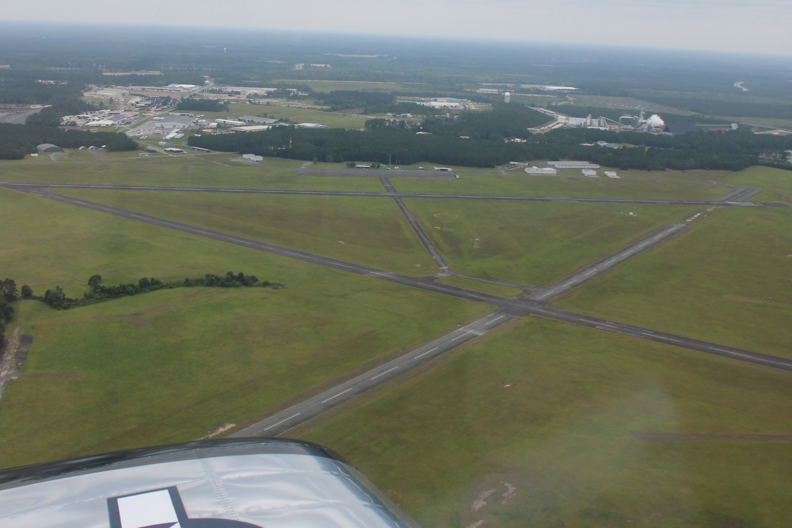
And then the Okefenoke Swamp ends and there is Waycross, Georgia.
|
| |
 |
|
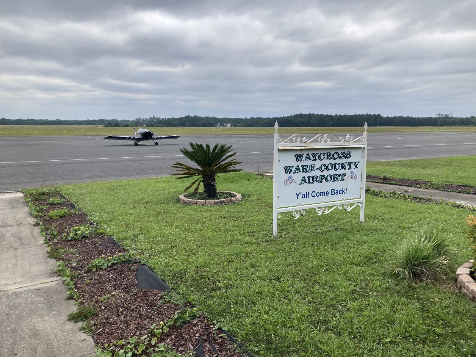
| Glad to be back at Waycross! |
| |
 |
|
| |
| |
|
|
|
|
|
|


