May 24, 2021 - Day Five, Flight Four
Mesa Verde NP, Pueblo Bonita, Gallup Airport-New Mexico
|
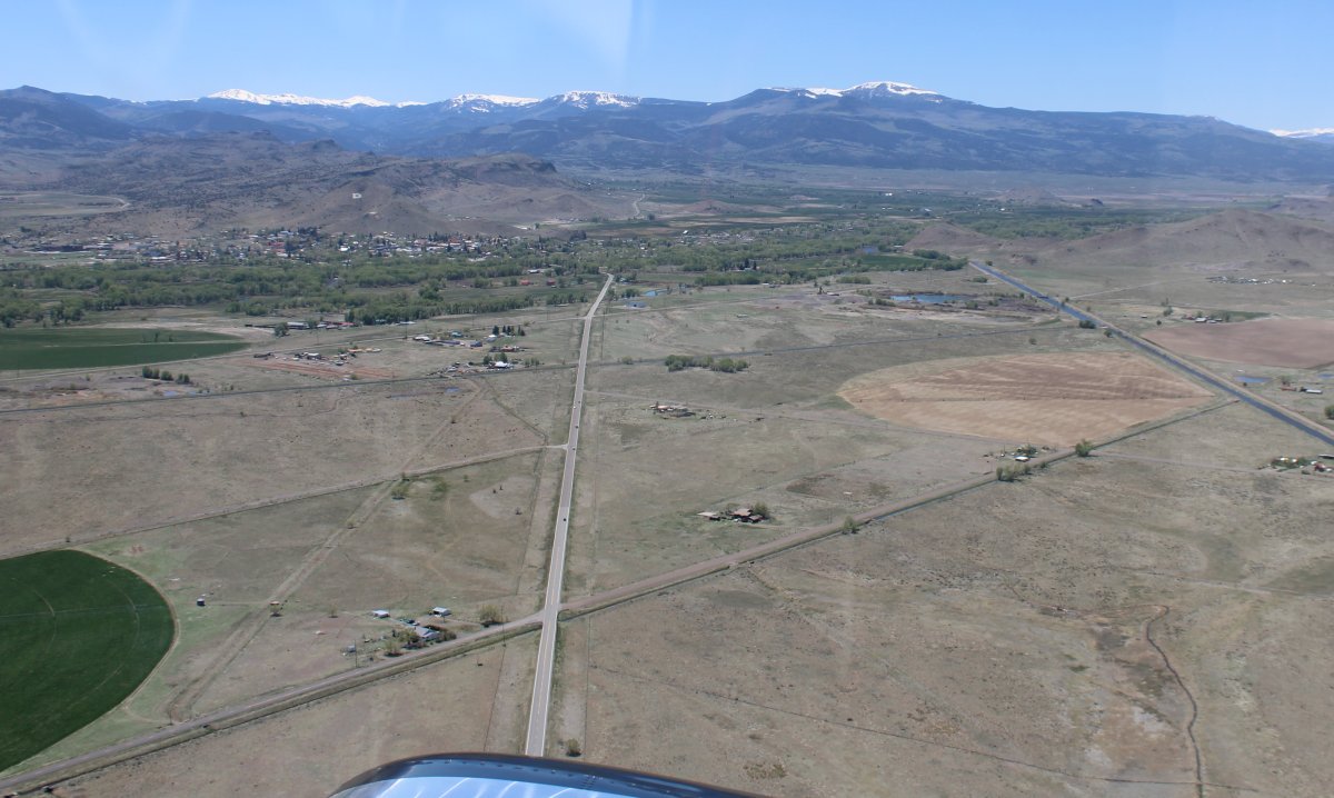
| After takeoff, looking back at the little town of Del Norte. |
| |
 |
|
|
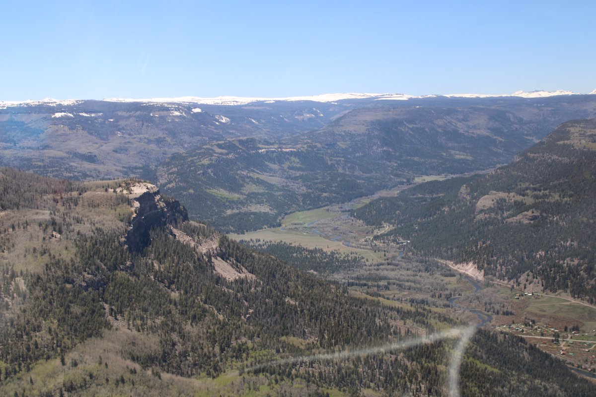
I had thought about flying to Telluride for a landing at that famous airport. But there were some tall mountains between me and Telluride. I decided to skip it and go to Mesa Verde National Park instead which was south of it and not in the mountains. But I couldn't go direct to Mesa Verde because of a range of 13,000 foot moutains. So I flew south for awhile and finally cut over through a pass.
|
| |
 |
|
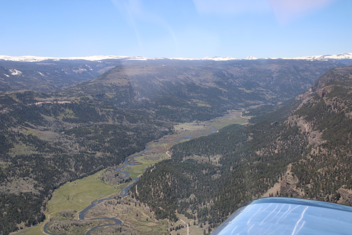
| Flying south, looking west. |
| |
 |
|
|
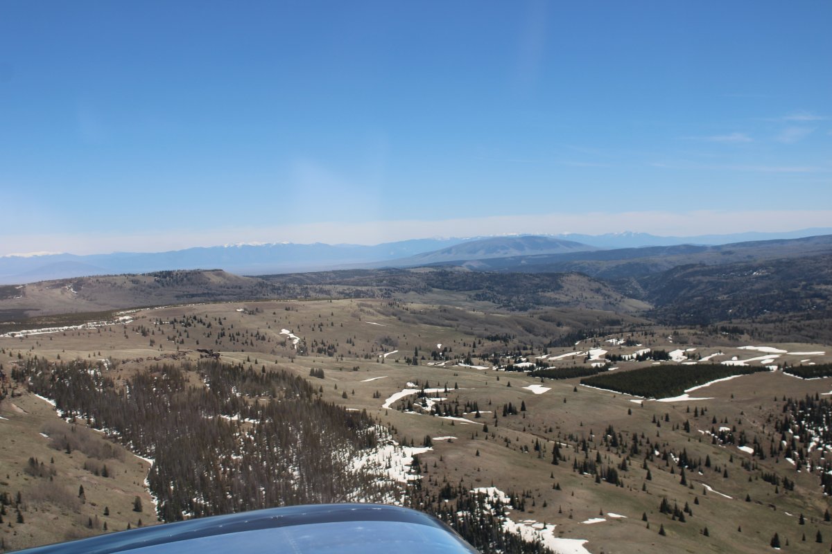
I cut through the mountains using the La Manga and Cumbre Passes. That way, I "only" had to get above 10,000 feet.
|
| |
 |
|
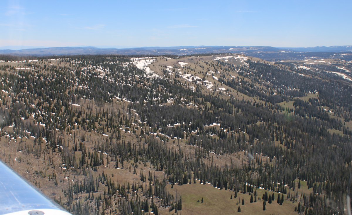
| Cruising through one of the passes. |
| |
 |
|
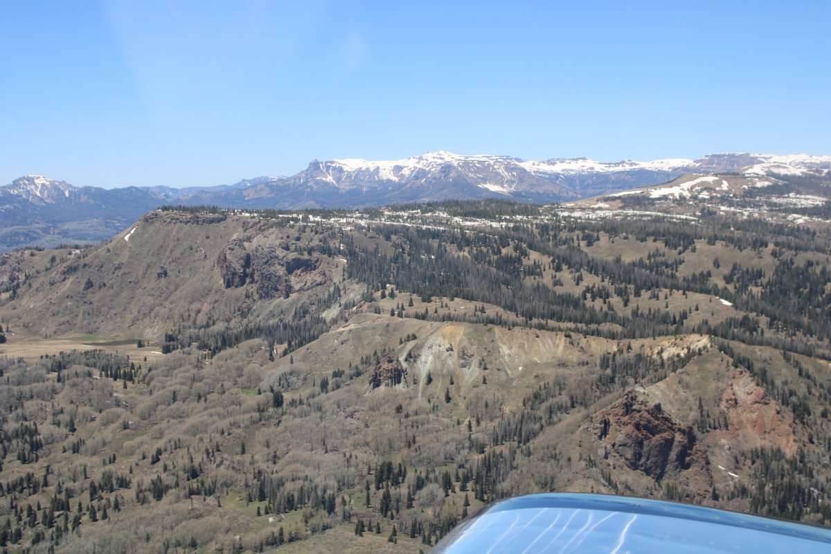
| I'm through. Big mountains to the north. |
| |
 |
|
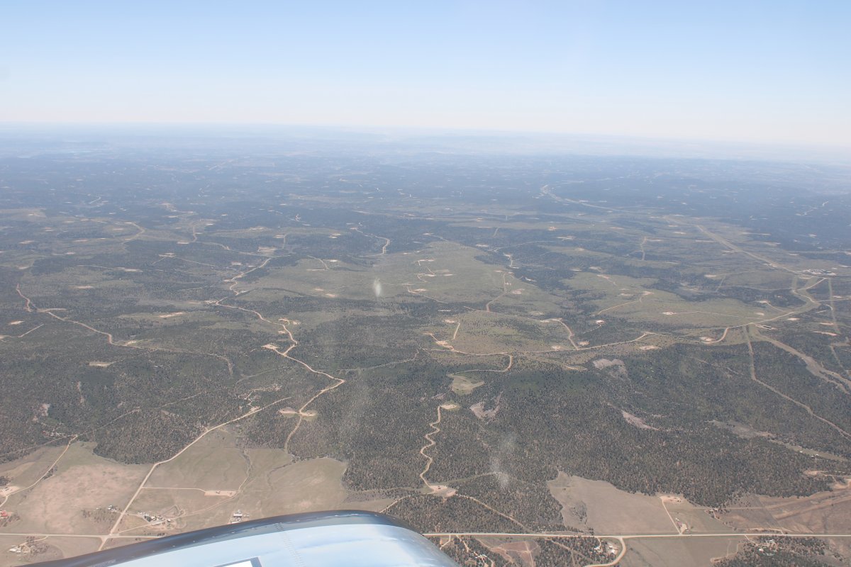
| Now I'm over a big valley with lots of oil rigs. |
| |
 |
|
|
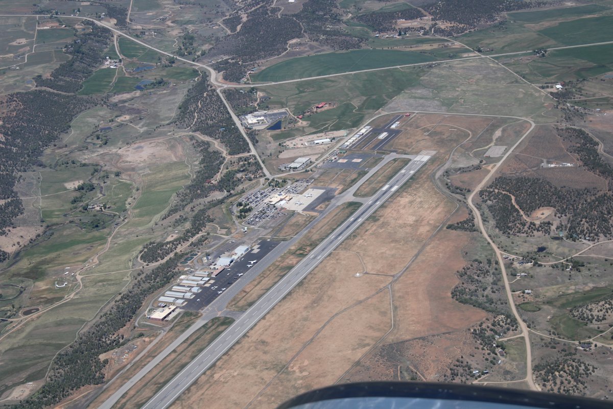
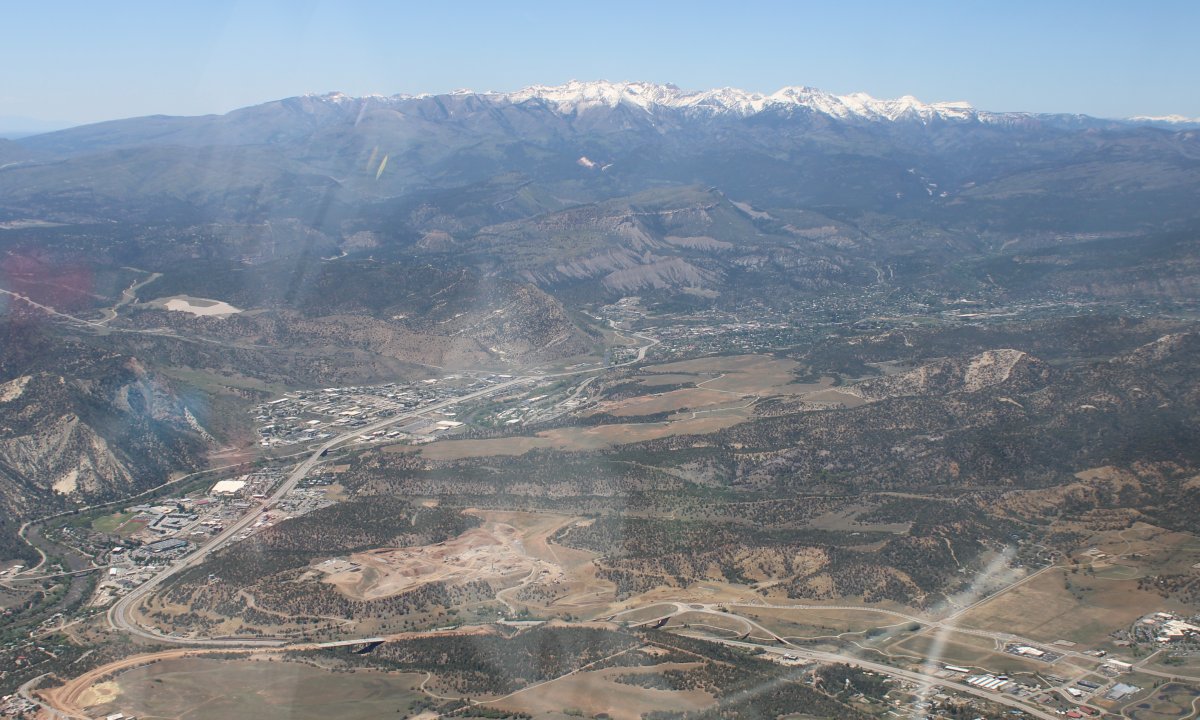
Looking down at Durango-La Plata County Airport (KDRO). It was fairly busy with jets flying in and out but surprisingly does not have a control tower.
|
| |
 |
|
| Looking north at the town of Durango. |
| |
 |
|
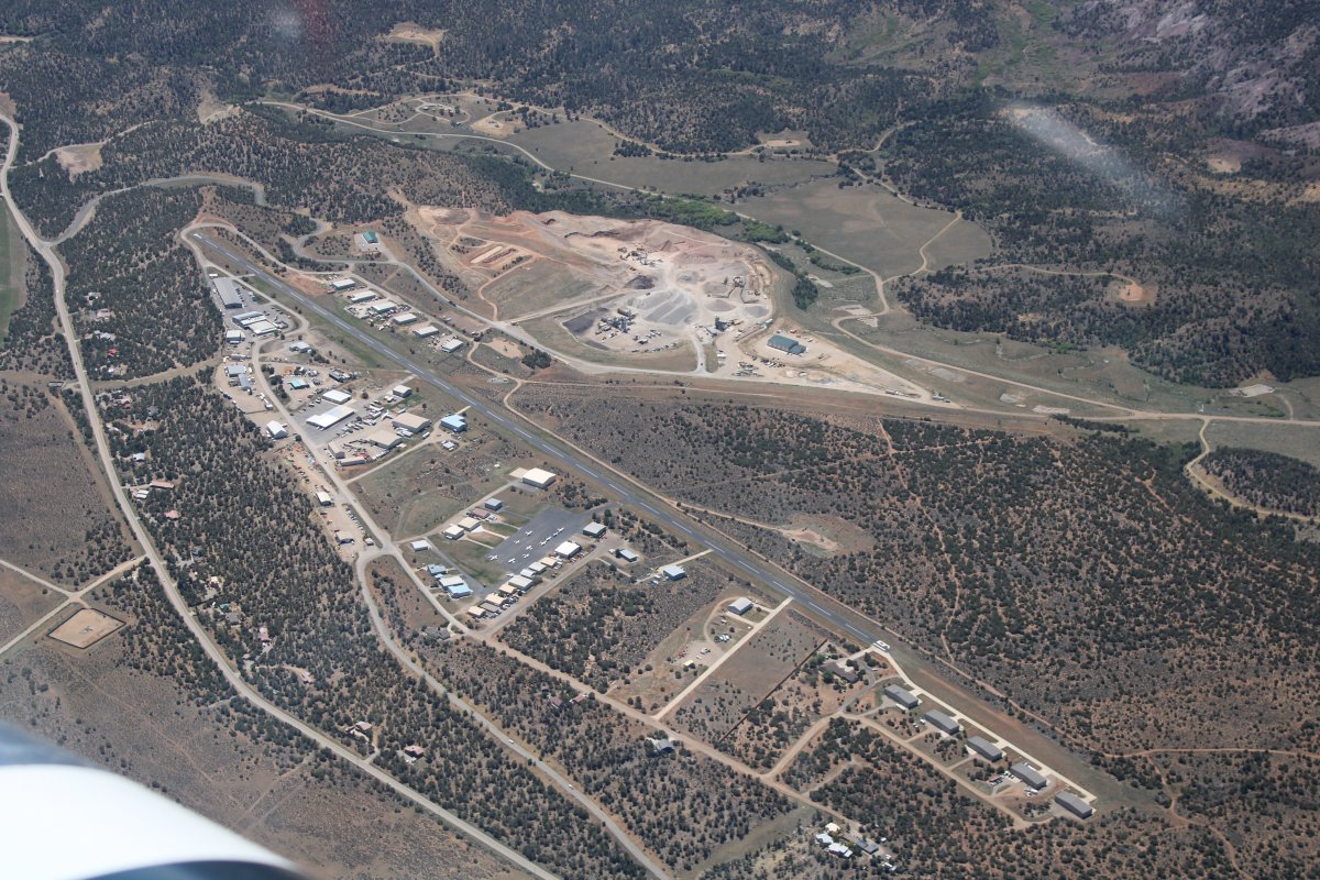
| Durango has a smaller, general aviation airport just south of town called Animus Airport (00C). |
| |
 |
|
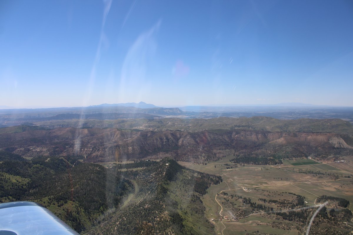
| From Durango, I continued west north-west towards Mesa Verde National Park, which is in the southwest corner of Colorado by the town of Cortez. |
| |
 |
|
|
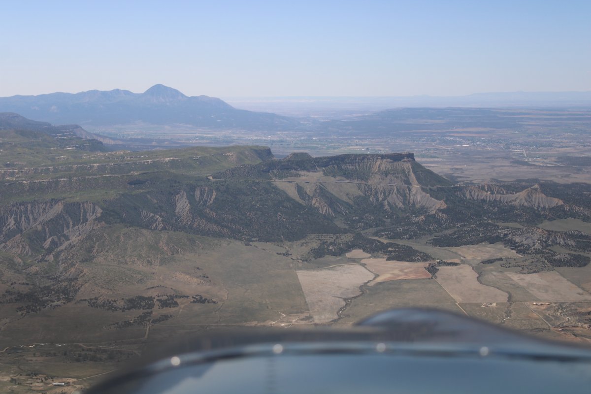
Approaching the north side of the Park with Cortez in the background.
|
| |
 |
|
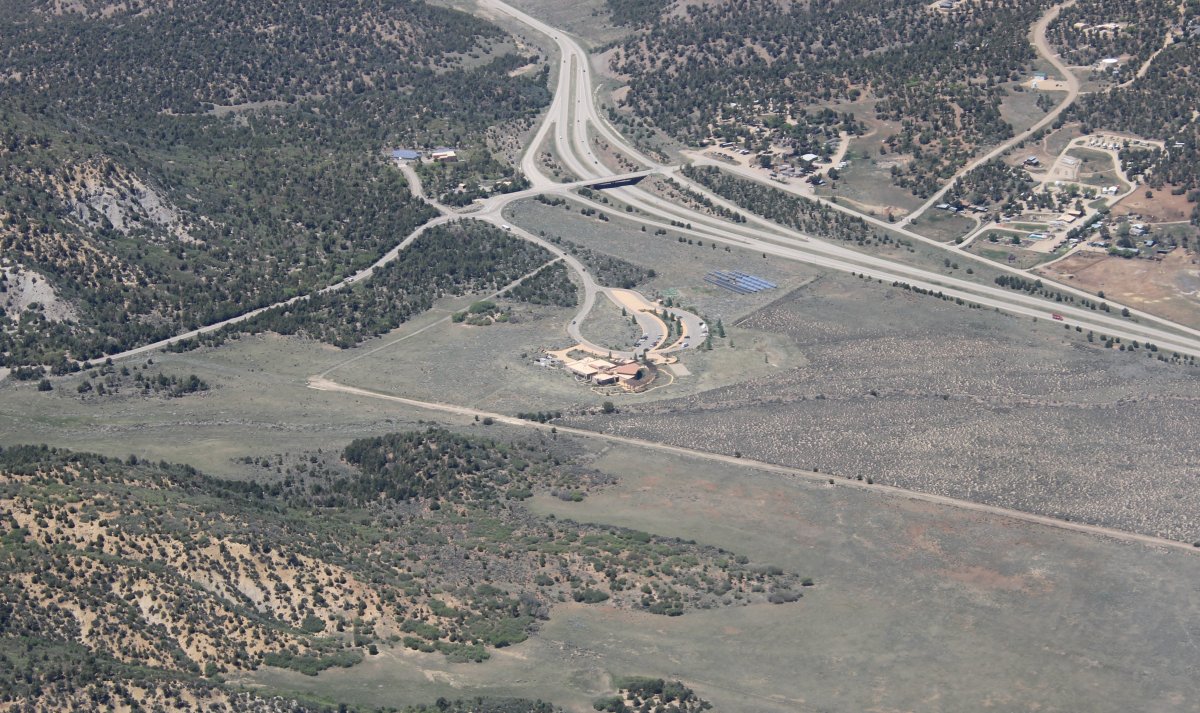
| Looking down at the Mesa Verde NP Visitors Center. Lynnette and I visited the park by car back in November. Link. |
| |
 |
|
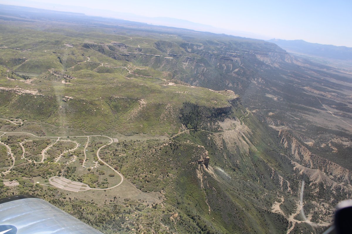
| Flying down the west side of the Park. It's a huge park. You enter on the north side, then drive 25 miles or so to get to the main attraction -- the Cliff Dwellings -- on the south side. |
| |
 |
|
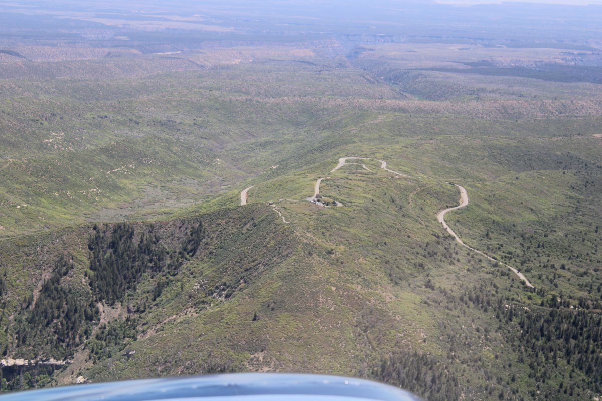
| Looking down at the fire observation station on the highest point i the park. |
| |
 |
|
|
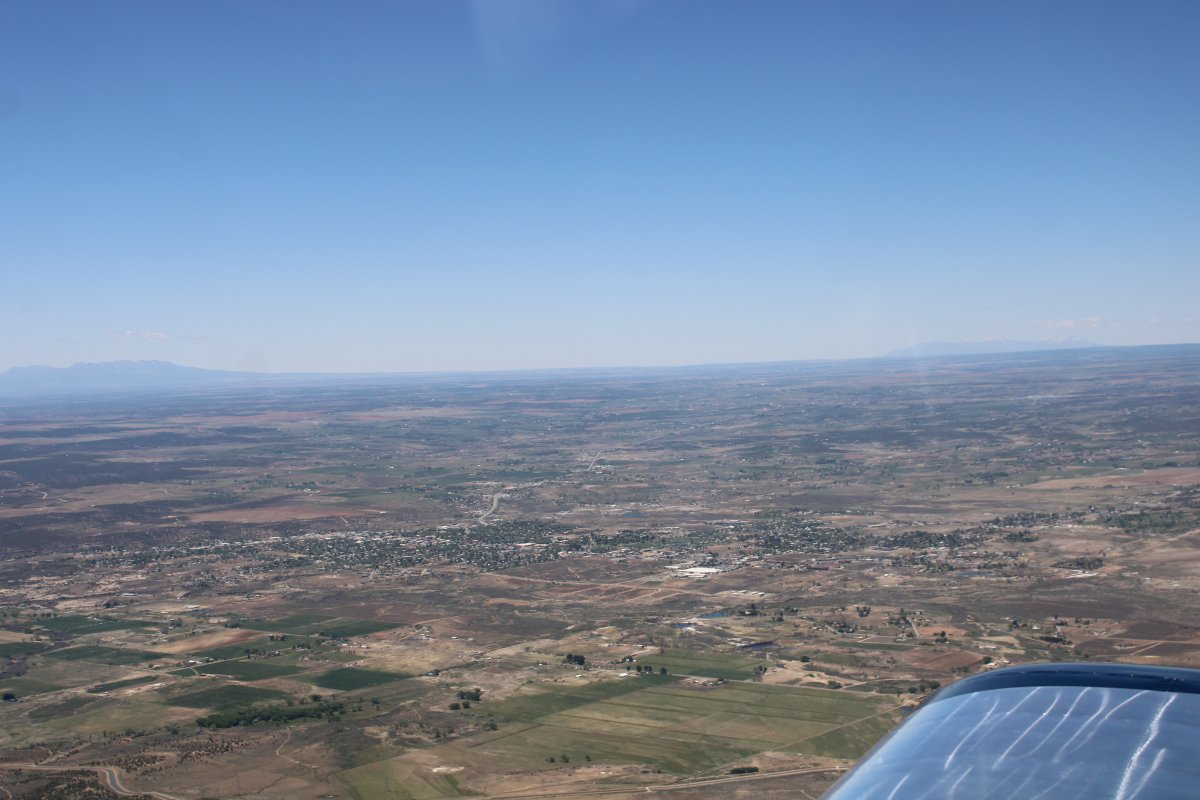
To the west is the town of Cortez.
|
| |
 |
|
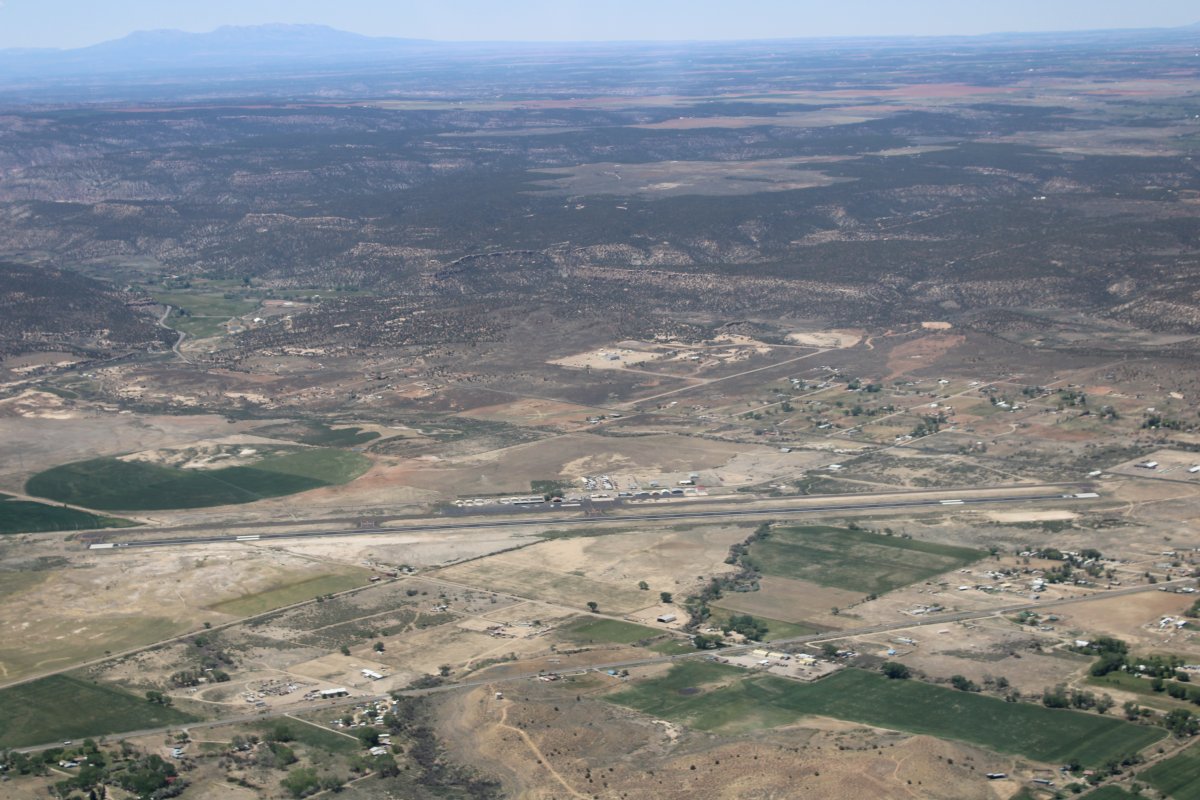
| Looking down at Cortez Municipal Airport (KCEZ). |
| |
 |
|
|
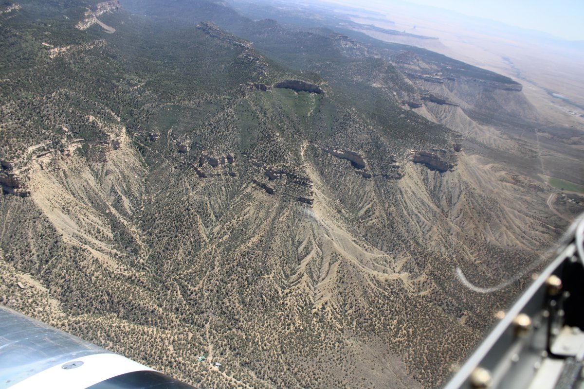
Rounding the bend to the south side.
|
| |
 |
|
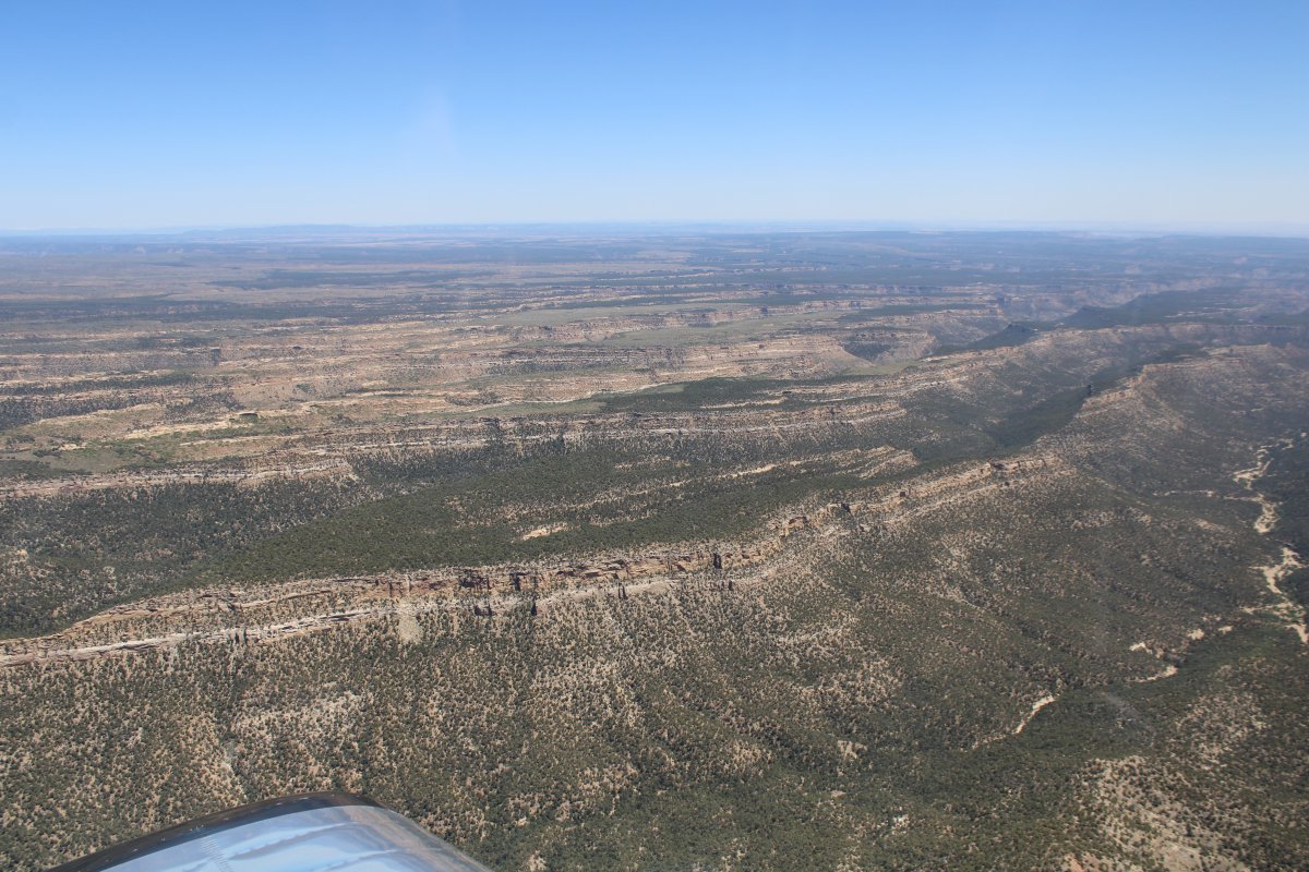
| Now looking northeast at a succession of canyons running east-west. The cliff dwellings are in there somewhere. |
| |
 |
|
|
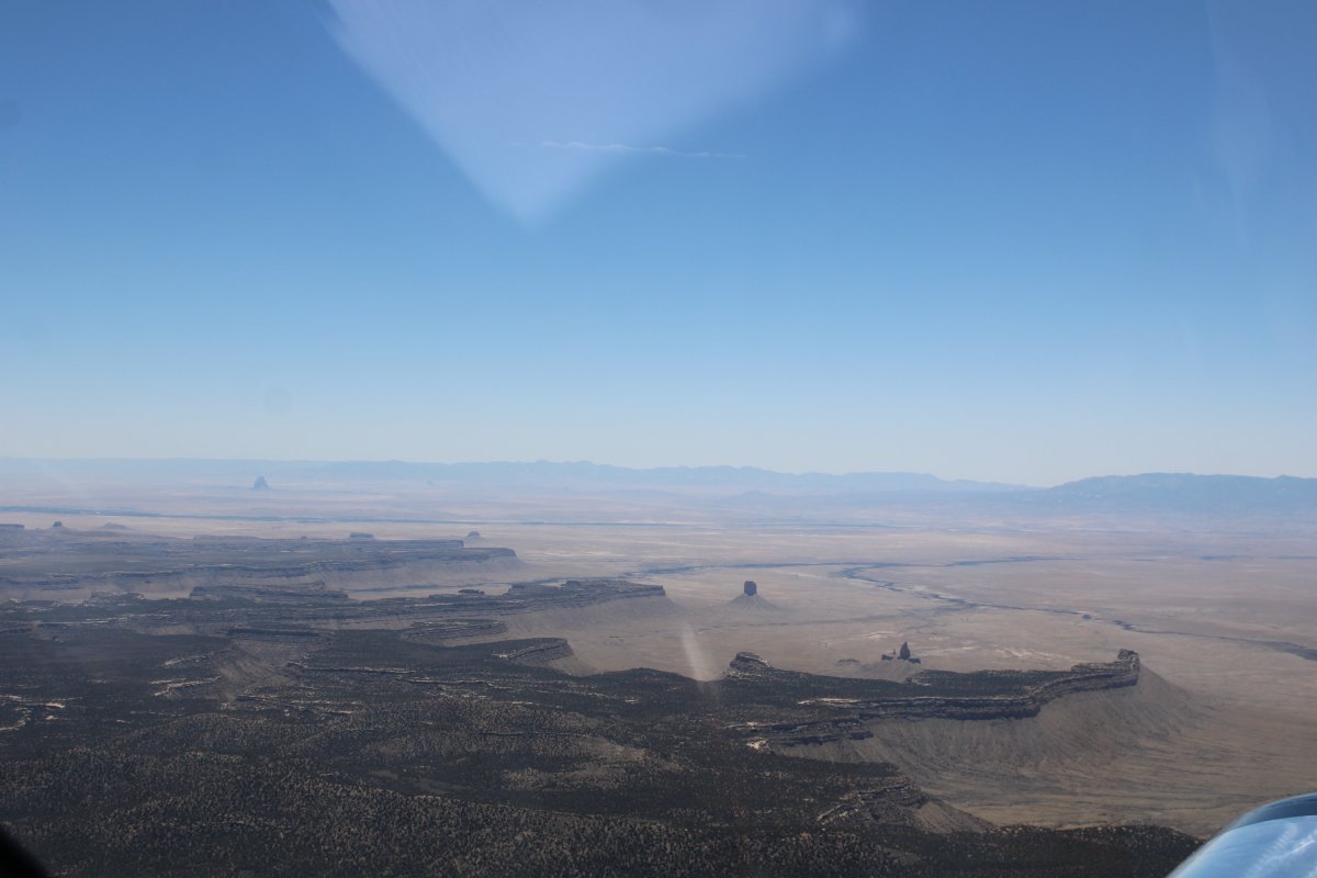
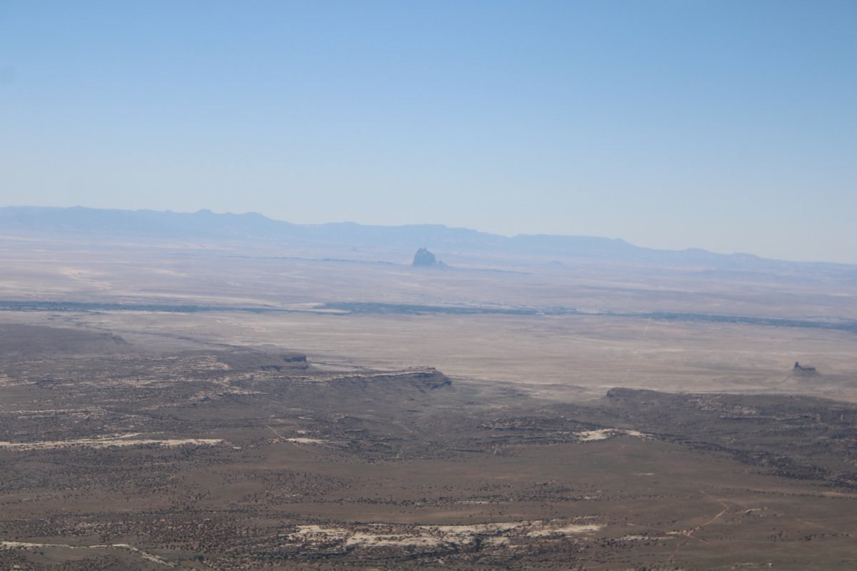
I was surprised to see Shiprock peak in the distance (left side). I hadn't realized I was so close.
|
| |
 |
|
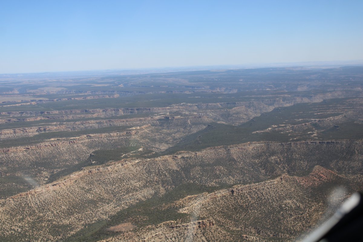
| Heading northeast into the canyons. |
| |
 |
|
| Having visited the Park from the ground was a big help. I knew what to look for. A cliff dwelling is at center-right. Plus I could see the roads leading to it. |
| |
 |
|
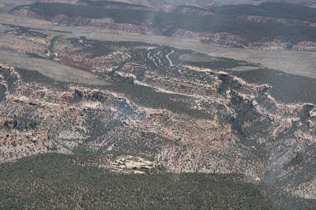
| Looking down into one of the canyons. It's a lot different perspective than from the ground. |
| |
 |
|
|
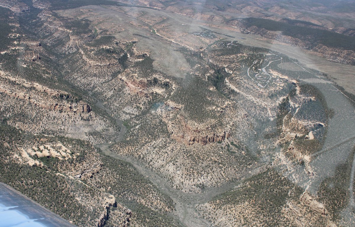
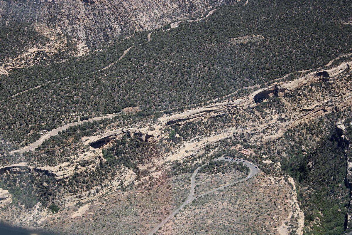
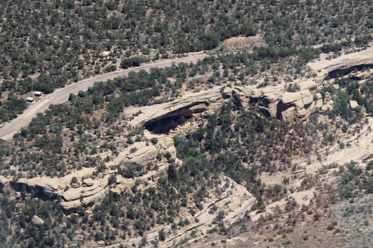
I think that is the famous Cliff Palace at lower left.
|
| |
 |
|
| Close-up; yes, it's Cliff Palace. |
| |
 |
|
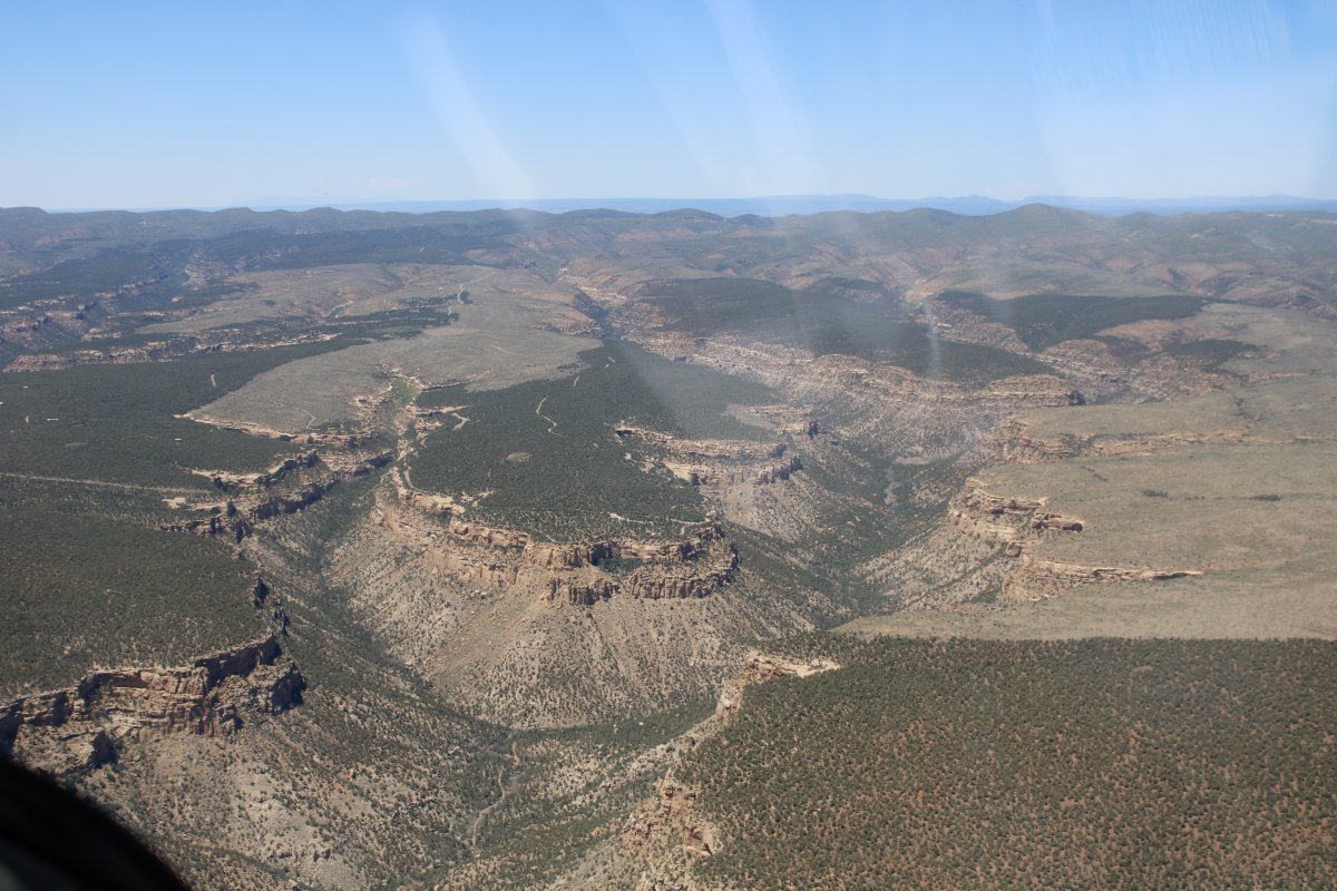
| A good look at the terrain. Canyons with flat mesas on top. At first, the native Americas lived on the mesa tops, but then they moved to the cliff dwellings. Then they just left. We will never know why. Unless they invent a time machine someday. |
| |
 |
|
|
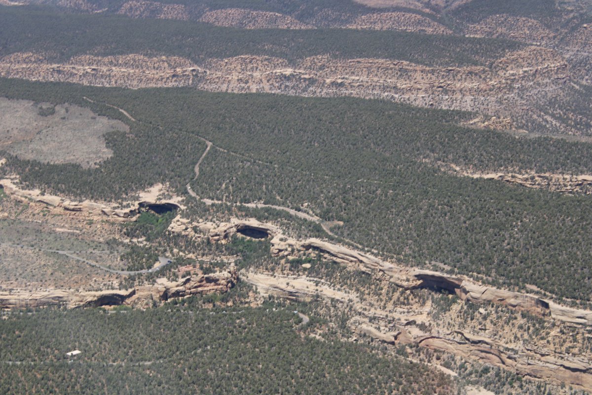
Wherever you see one of those overhangs, you can bet there are some cliff dwellings there.
|
| |
 |
|
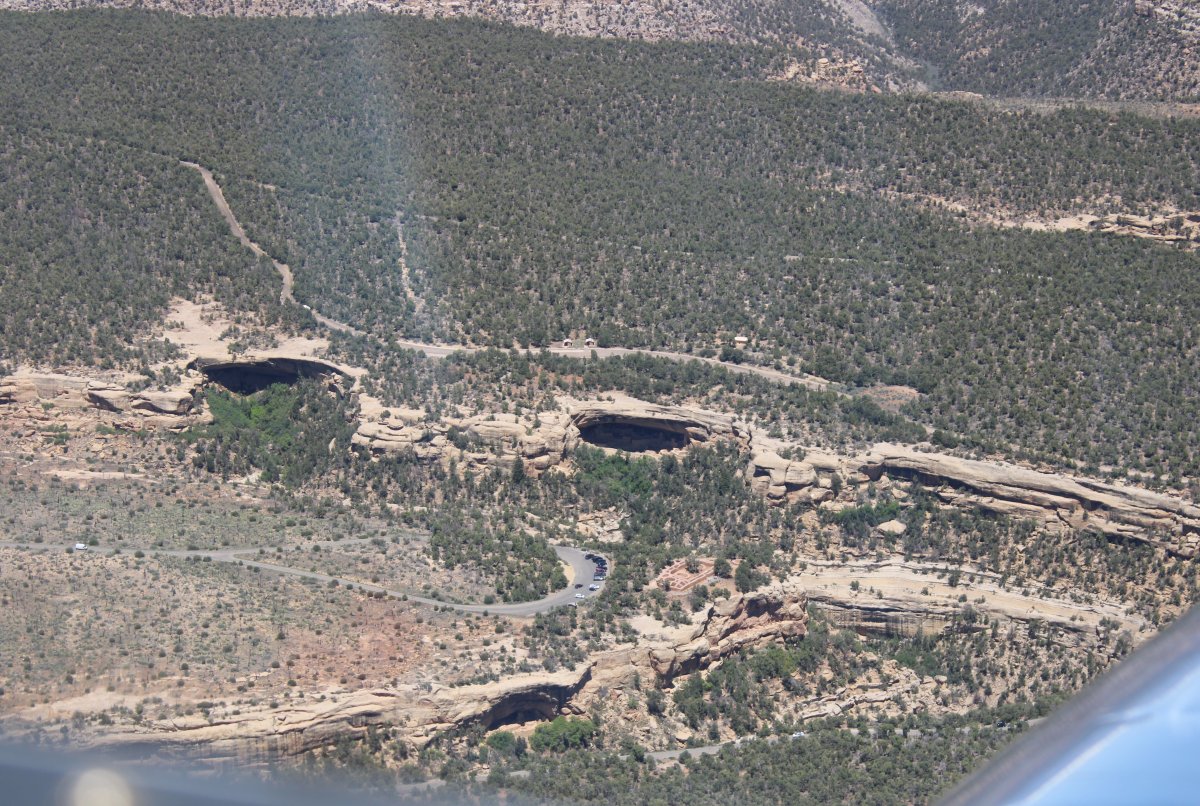
| Close-up. |
| |
 |
|
|
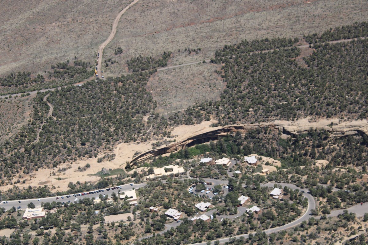
The Chapin Mesa Archeological Museum is down below by that parking lot; unfortunately it was closed due to the Chinese Flu during our visit. The Spruce Tree House cliff dwelling is nearby and visible in this picture.
|
| |
 |
|
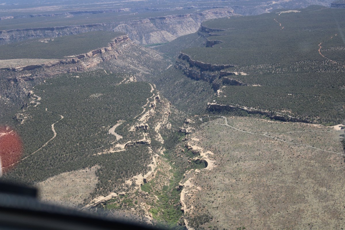
| The canyons are pretty big as you get lower. |
| |
 |
|
| |
| |
 |
|
| |
| |
 |
|
|
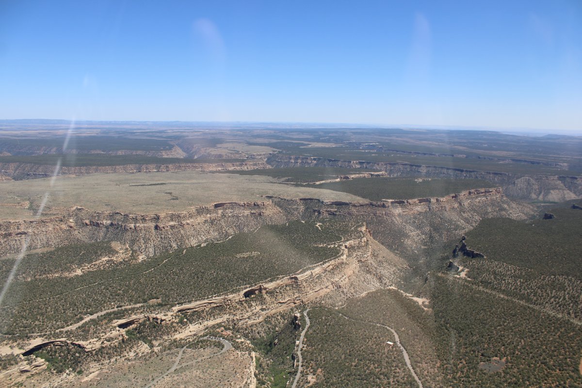
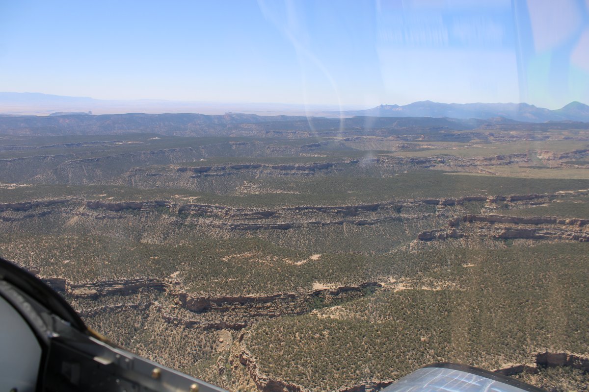
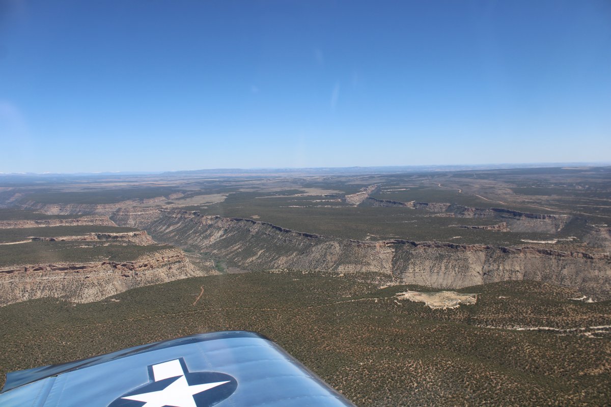
There are a lot of canyons cutting through the mesa.
|
| |
 |
|
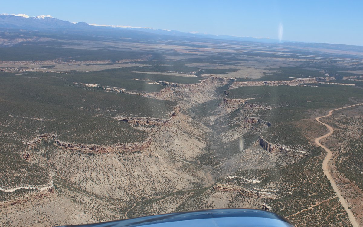
| Heading out to my next stop. |
| |
 |
|
| A closer look at Shipwreck rock. |
| |
 |
|
|
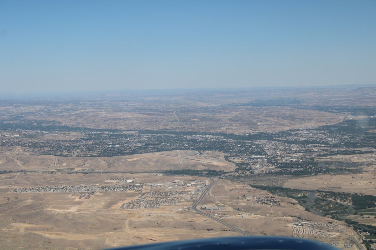
Passing on the west side of Farmington, New Mexico, with Four Corners Regional Airport in the foreground.
|
| |
 |
|
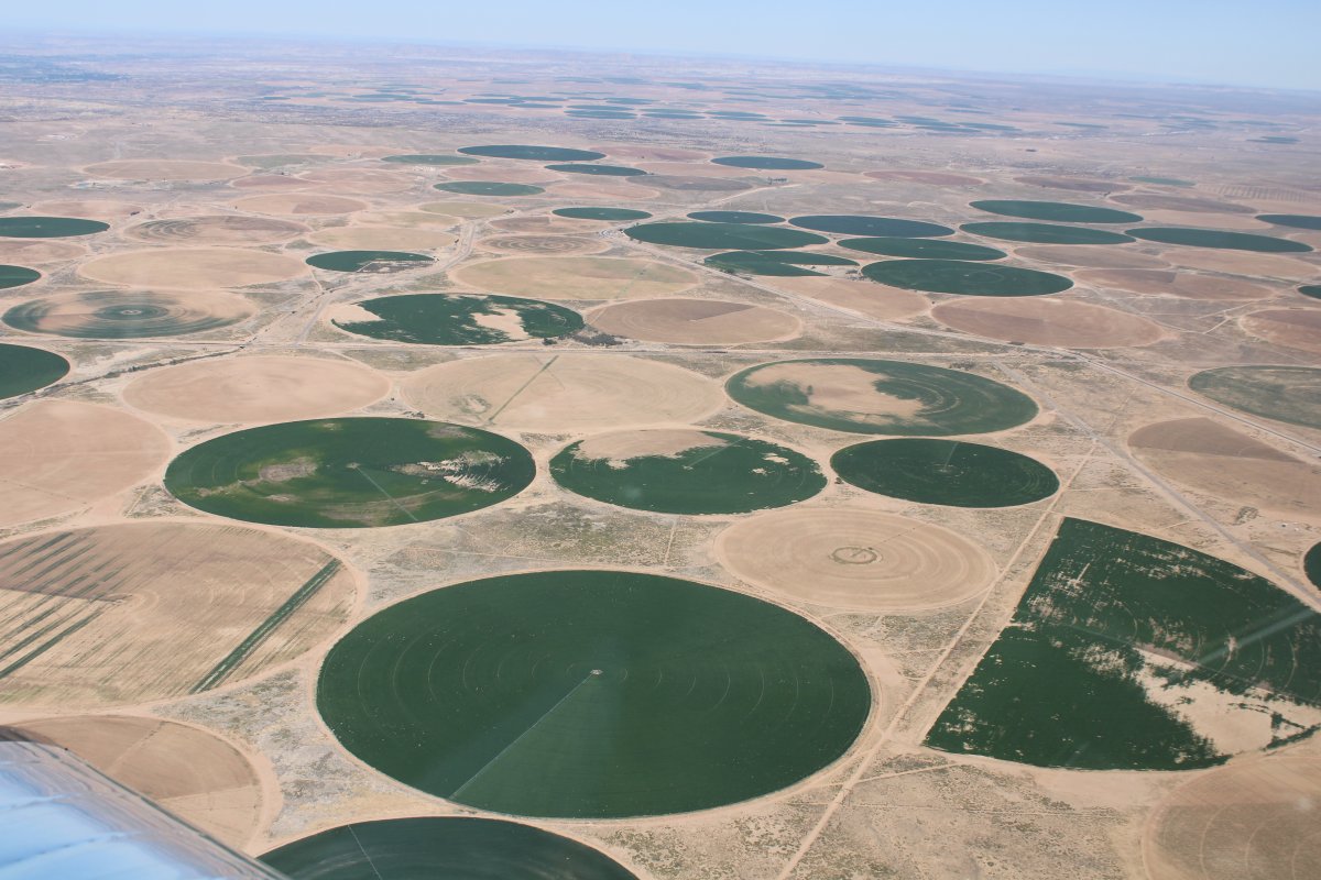
| You can see sand encroaching on some of the watered circular areas. |
| |
 |
|
|
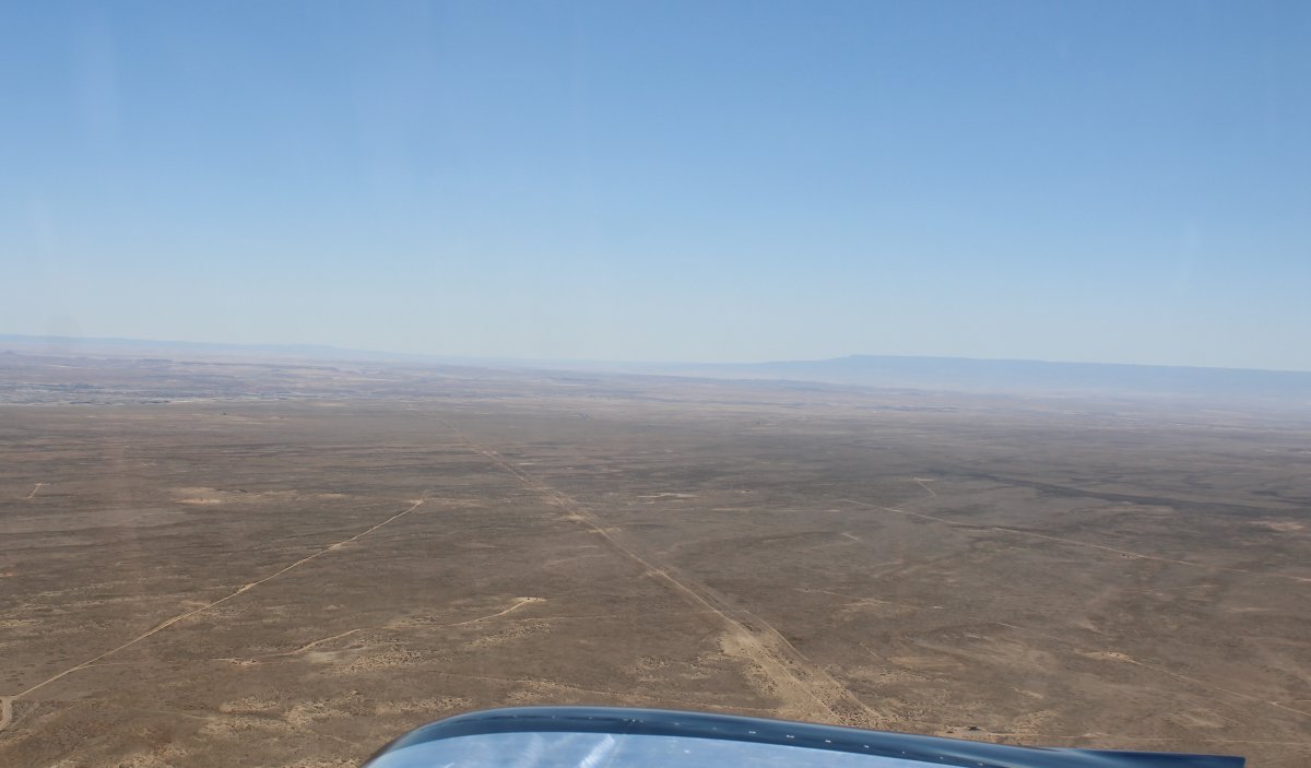
I pointed the nose south towards some pretty desolate country.
|
| |
 |
|
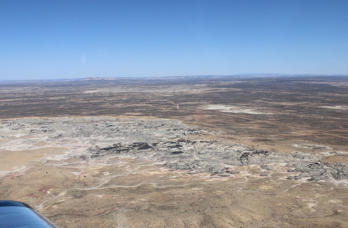
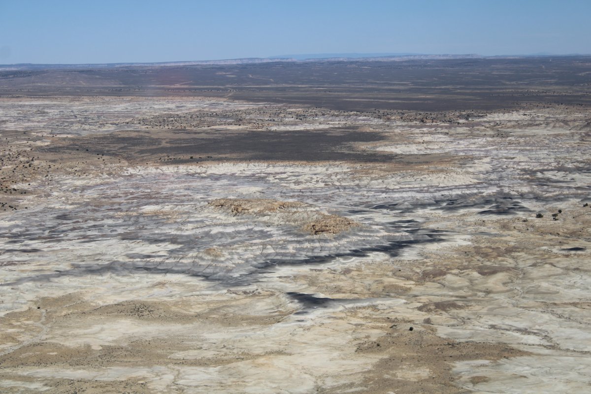
| Flying over some serious desert. |
| |
 |
|
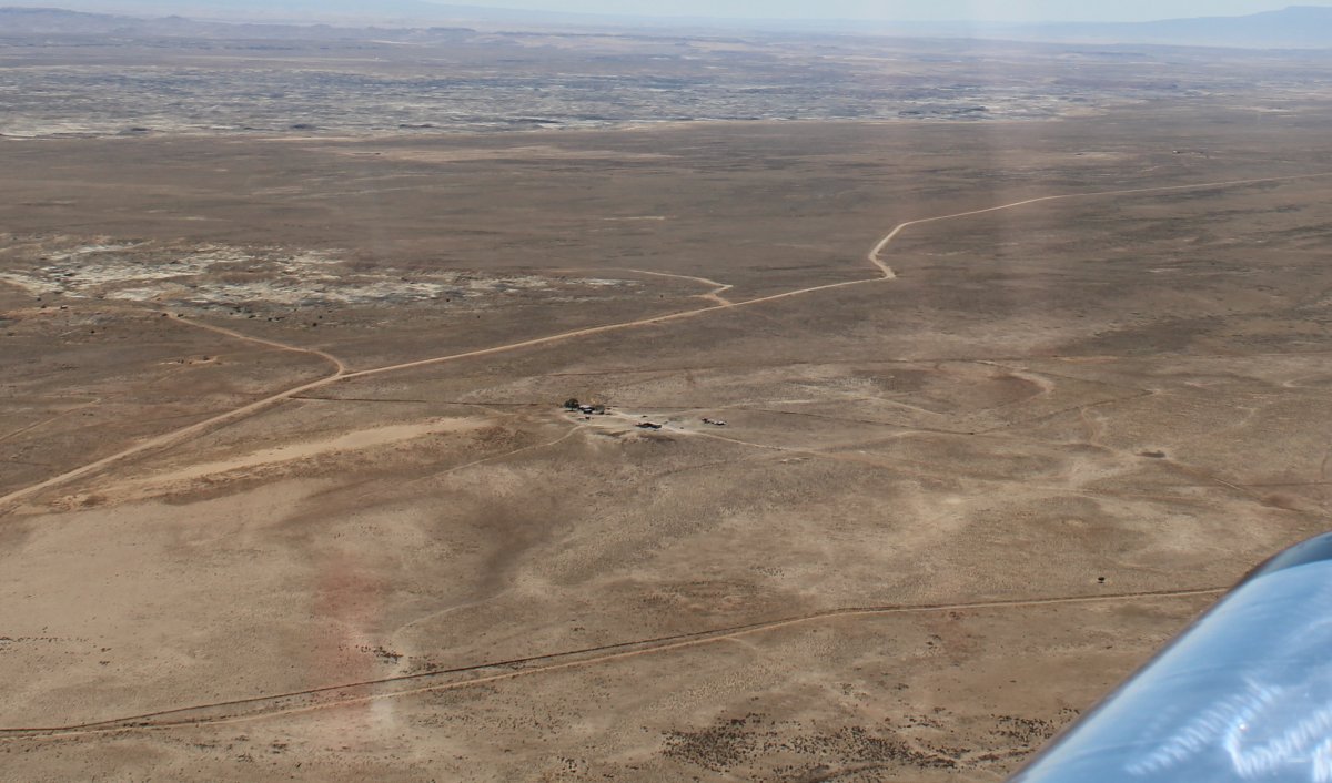
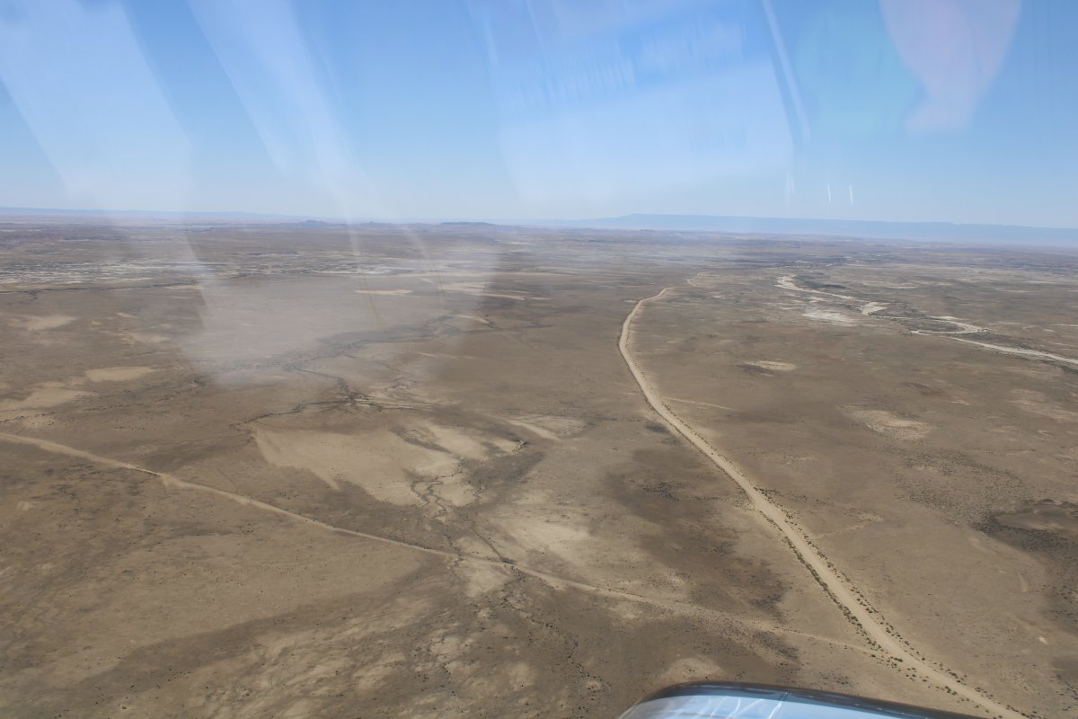
| Dirt roads are a welcome site! |
| |
 |
|
| But pretty it its own way. |
| |
 |
|
|
|
| |
 |
|
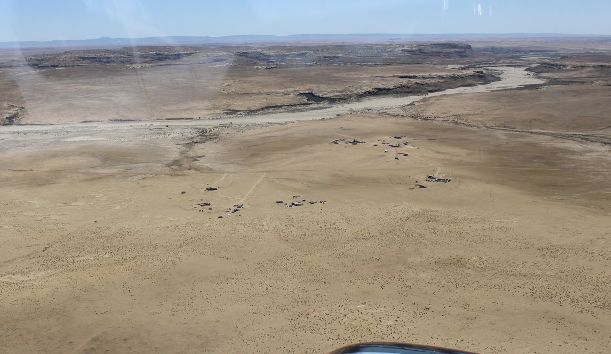
| Approaching my destination from the north. I didn't really know what it looked like -- it turns out it was on the other side of that rock ridge. |
| |
 |
|
| Almost there. |
| |
 |
|
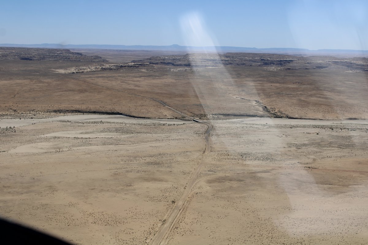
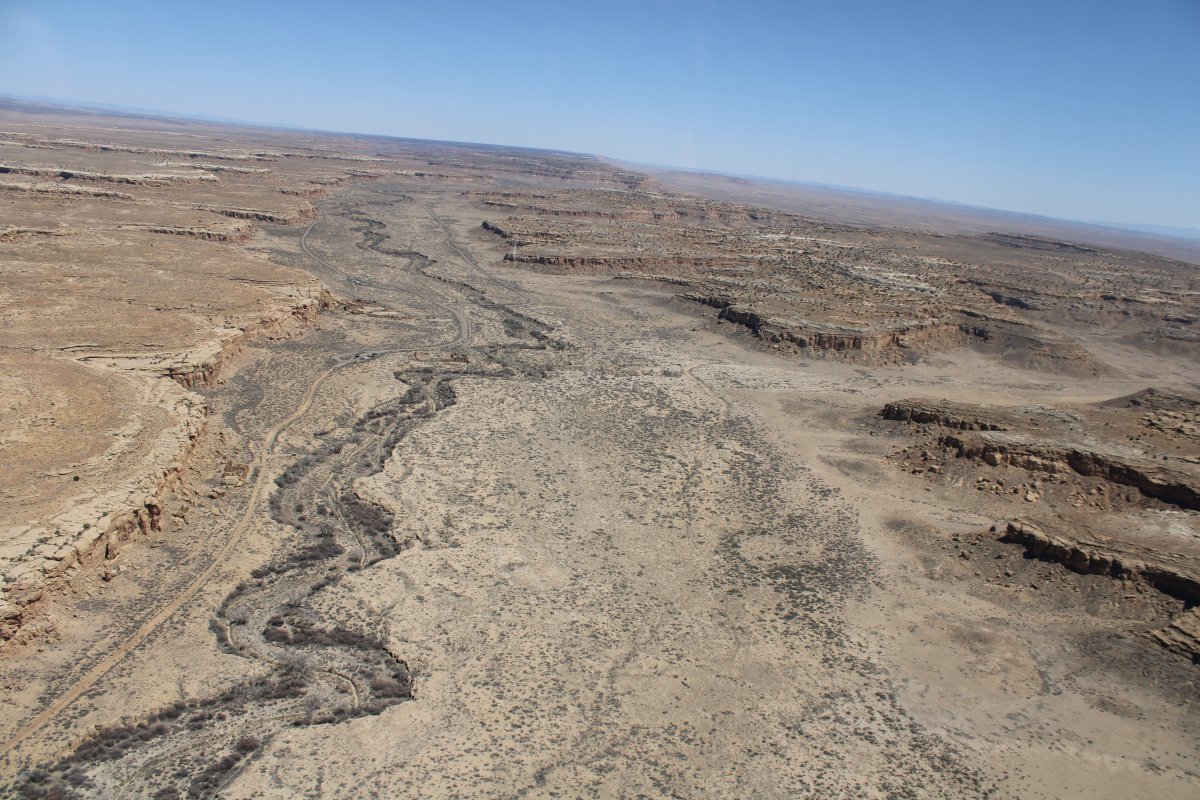
| Over the ridge; it has to be in this valley with the dry creek bed. |
| |
 |
|
|
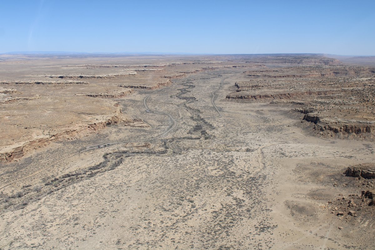
There is a road down there with some parking lots.
|
| |
 |
|
|
And there it is! Chaco Culture National Historical Park.
|
| |
 |
|
|
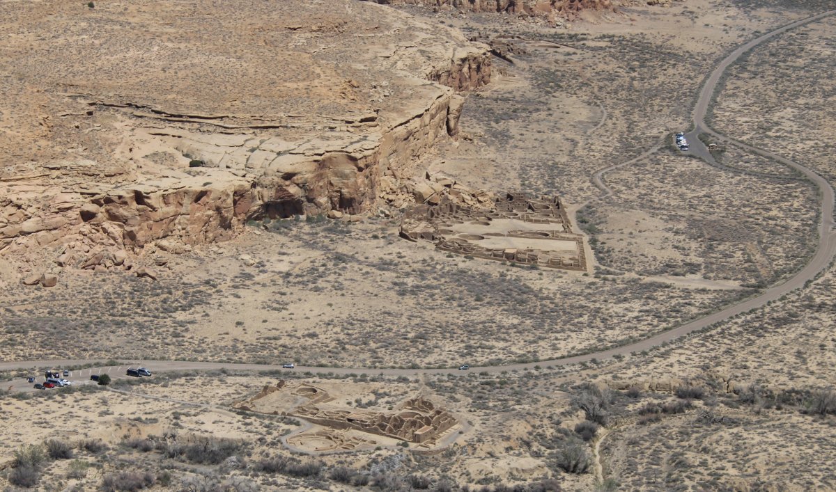
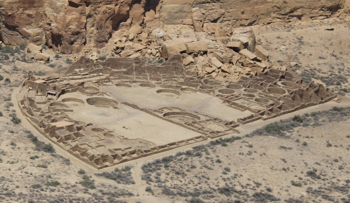
Chaco Culture National Historic Park contains the most magnificent prehistoric ruins in the American west. It is one of the most important pre-Columbian cultural and historical areas in the United States.
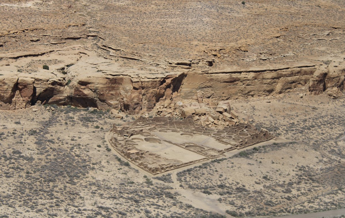
The Park has multiple Pueblo sites including the Pueblo Del Arroyo site below.
|
| |
 |
|
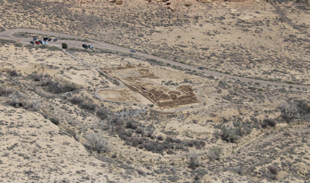
| The crown jewel of Chaco Culture National Historical Park: Pueblo Bonita. |
| |
 |
|
| Close-up. Pueblo Bonito (Spanish for beautiful town) is the largest and best-known great house in Chaco Canyon. |
| |
 |
|
|
It's not easy to get to the Chaco Culture Park by car: it's 20 miles over a rough gravel road. And it gets hot and windy in the canyon where shade is not to be found.
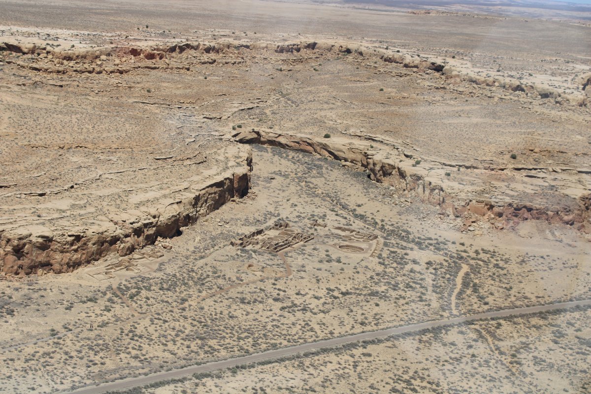
Passing by more ruins.
|
| |
 |
|
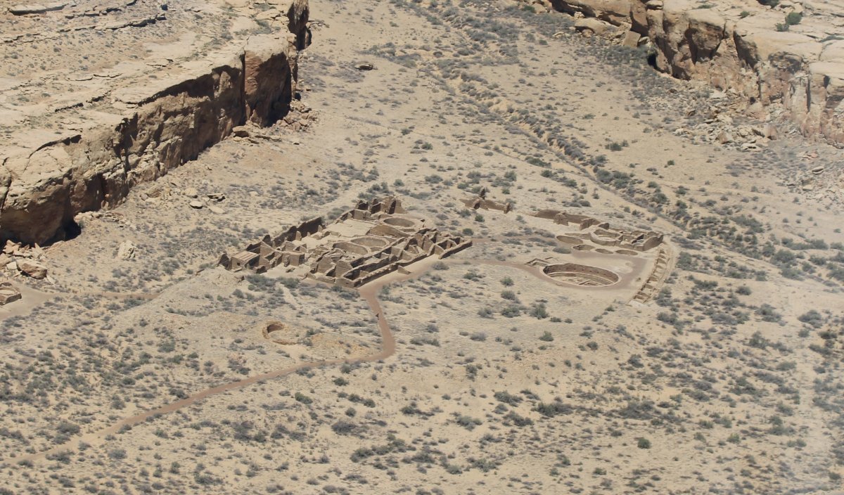
Close-up of the Chetro Ketl site below, which includes the Great House and Great Kiva of Chetro Ketl. |
| |
 |
|
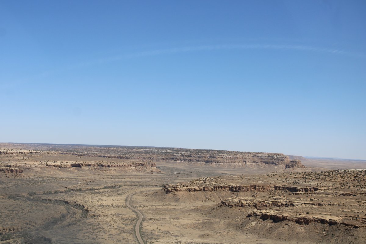
| Following the road out of Chaco Canyon. |
| |
 |
|
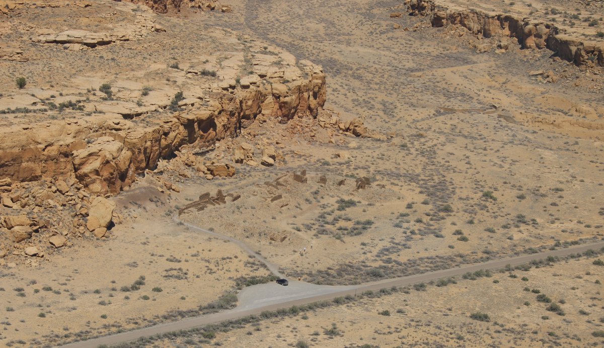
| Passing by more ruins. Between AD 900 and 1150, Chaco Canyon was a major center of culture for the Ancestral Puebloans. |
| |
 |
|
|
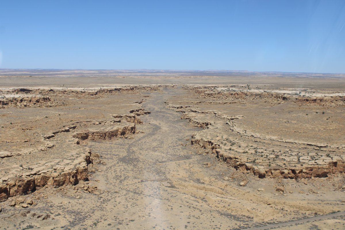
Looking north.
|
| |
 |
|
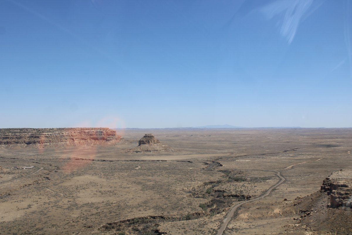
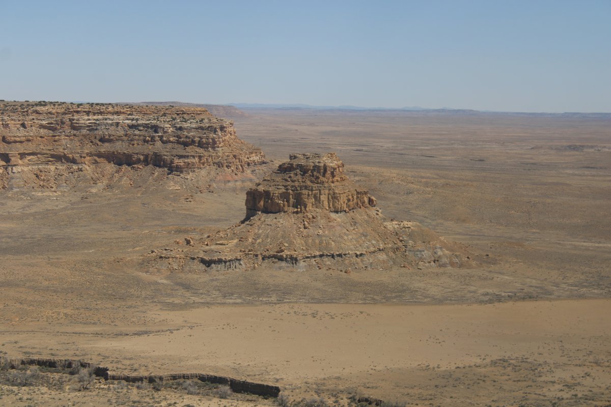
| The rock formation ahead is the Fajada Gap. The Visitors Center is visible to the left. |
| |
 |
|
|
Close-up.
|
| |
 |
|
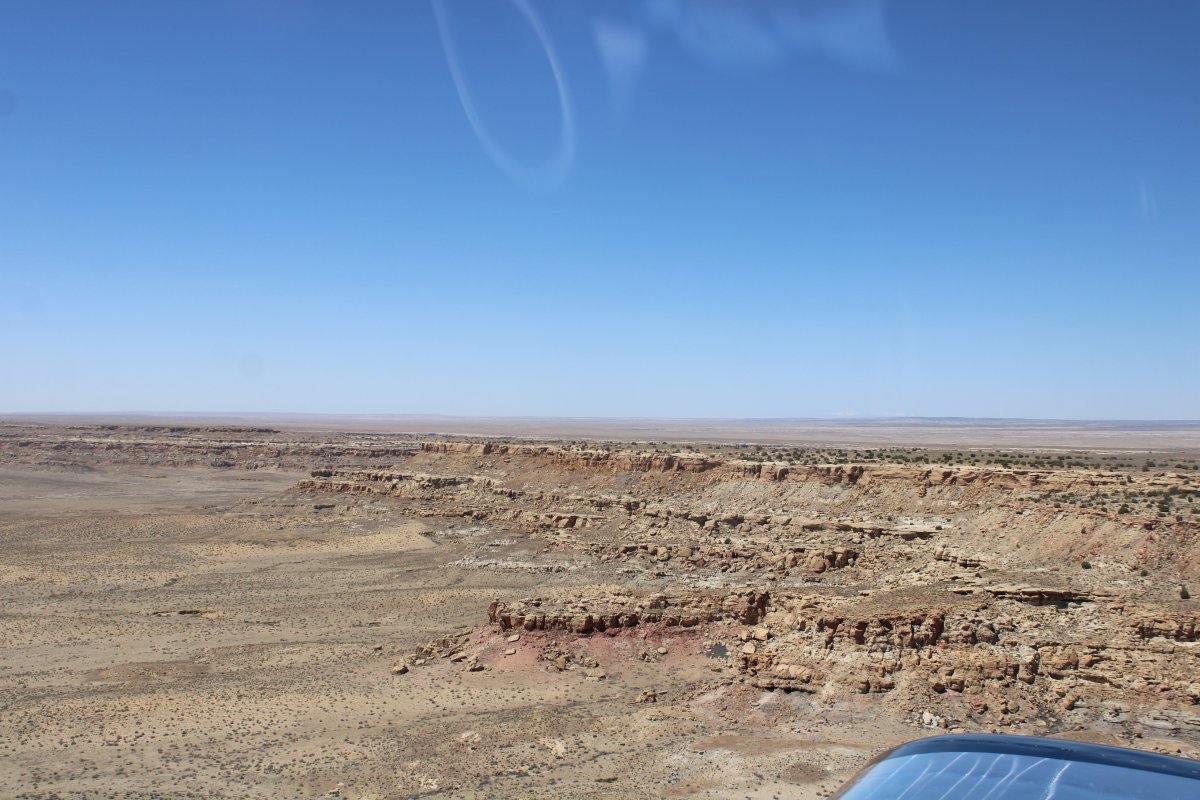
| Now heading southwest for my final destination of the day: Gallup, New Mexico. Not to see anything but to spend the night. |
| |
 |
|
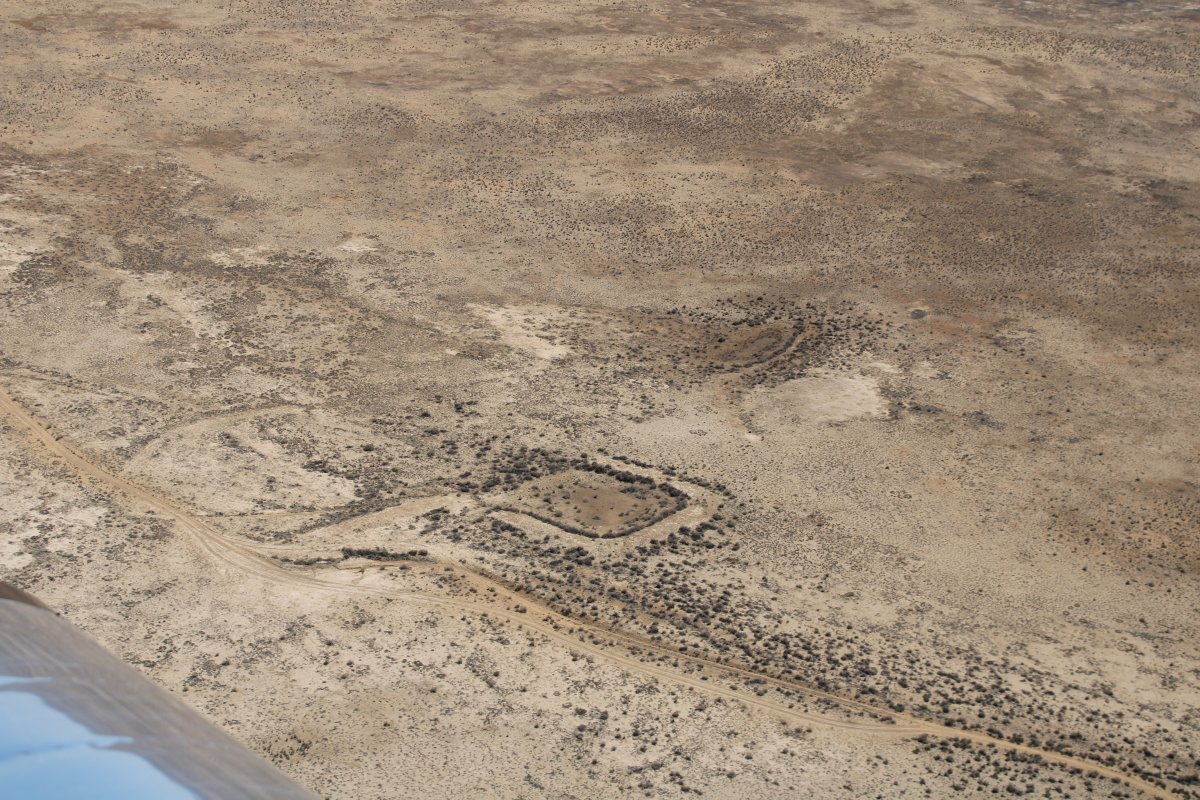
| Passing by maybe an old fort? |
| |
 |
|
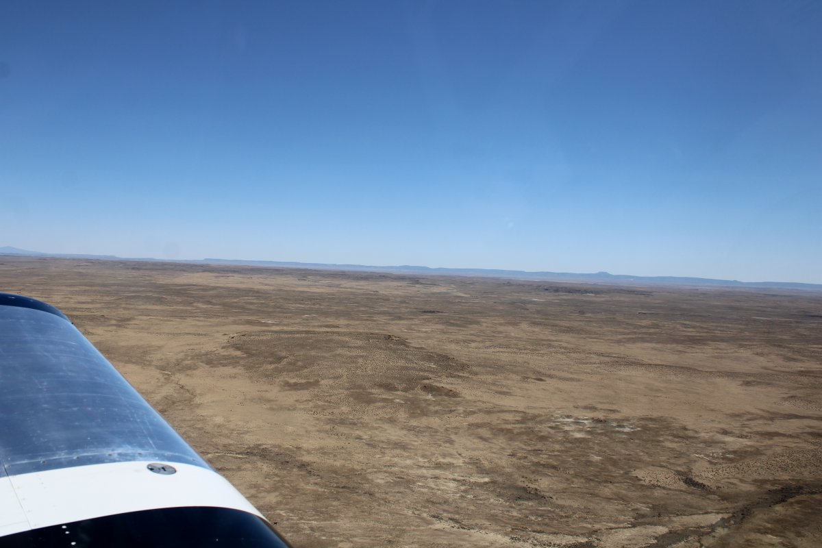
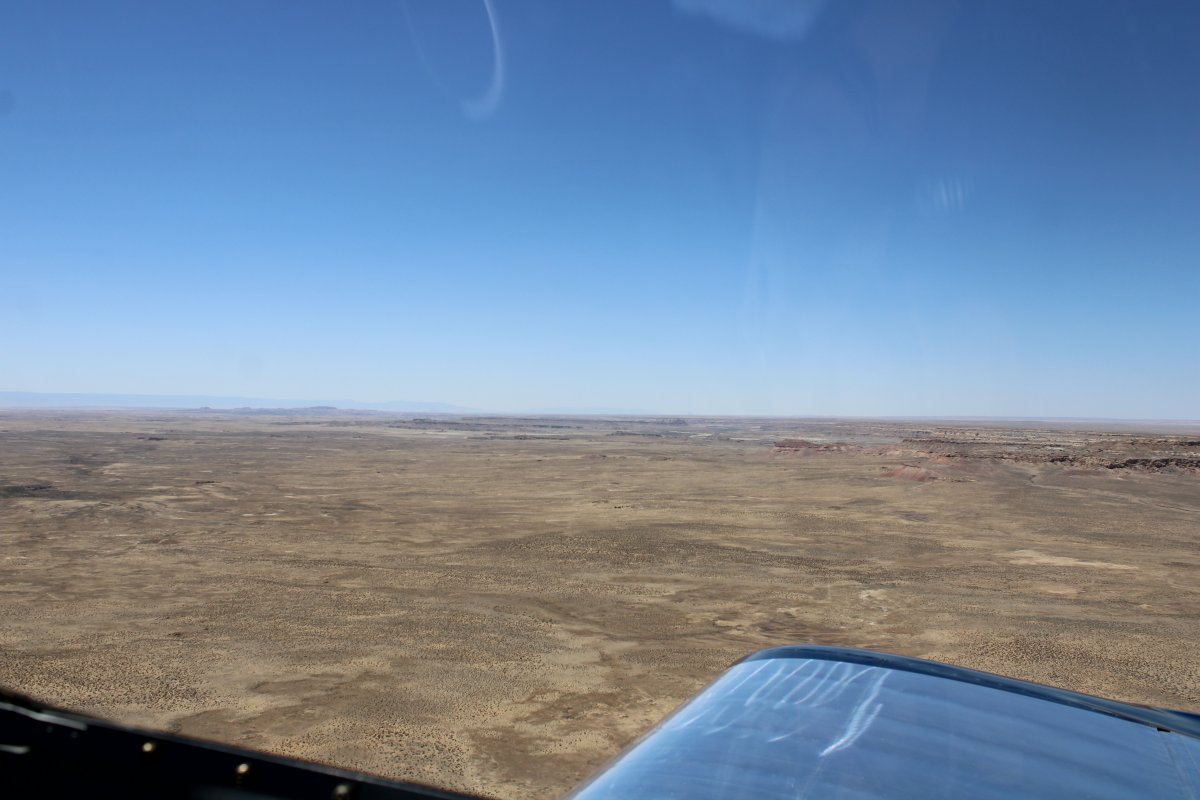
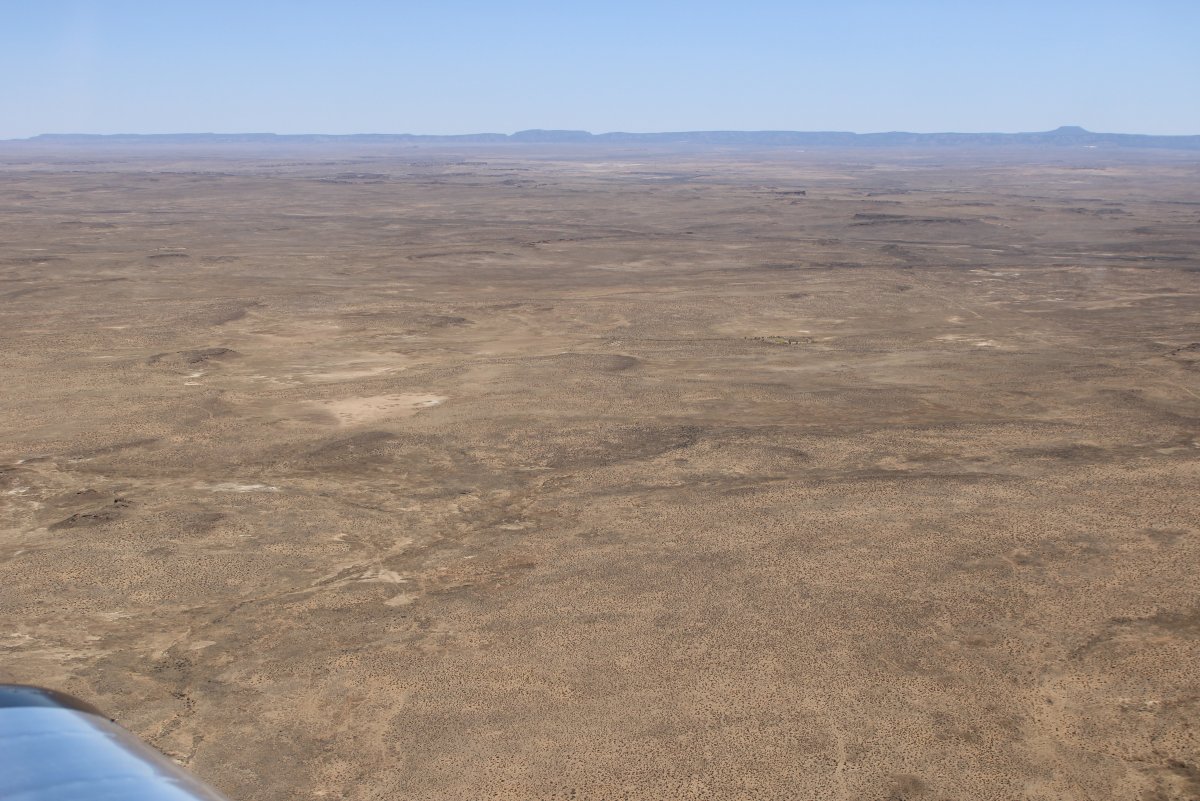
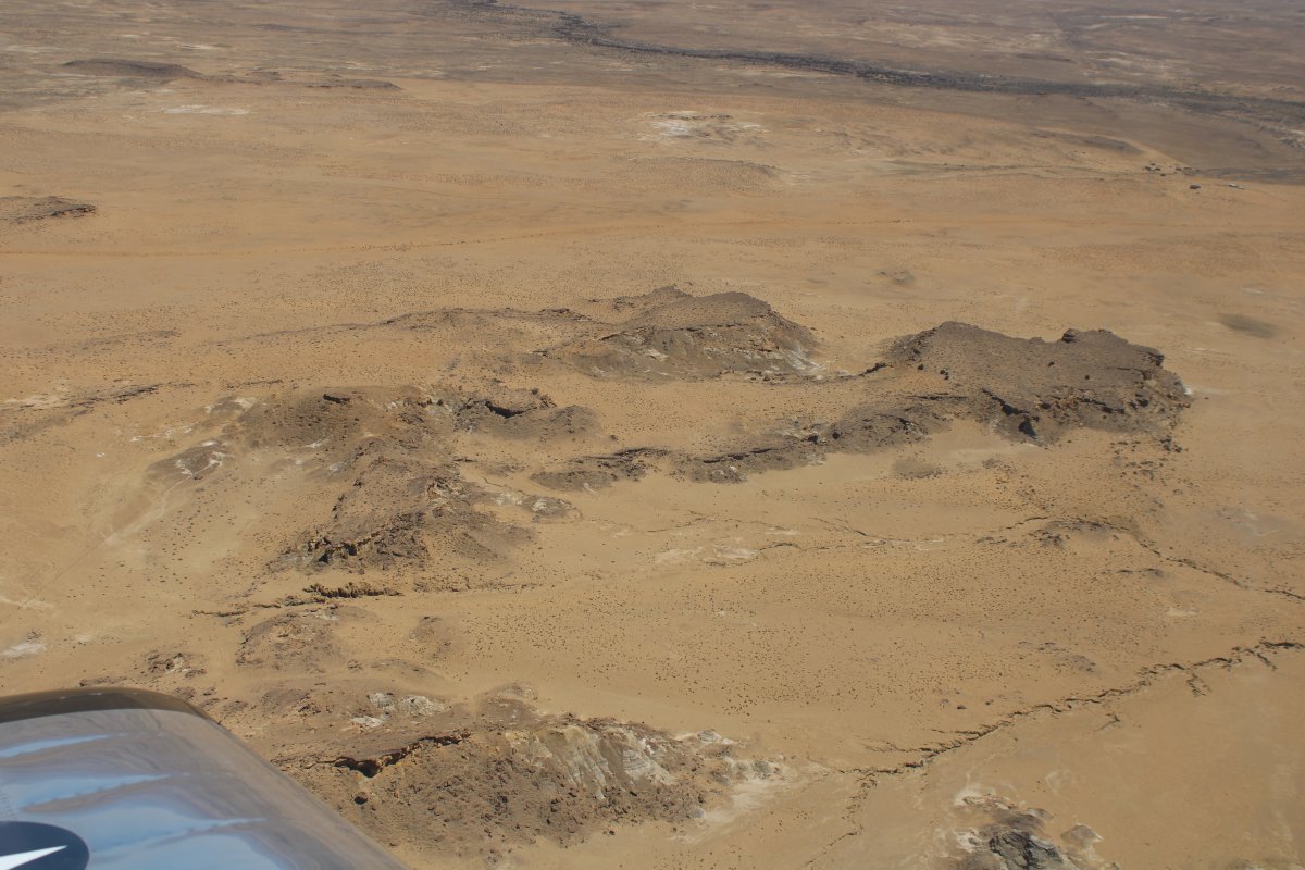
| Back into the rugged desert. |
| |
 |
|
|
|
| |
 |
|
| Fortunately, I did not have to fly all that long over this, thanks to the speed of the RV. |
| |
 |
|
|
|
| |
 |
|
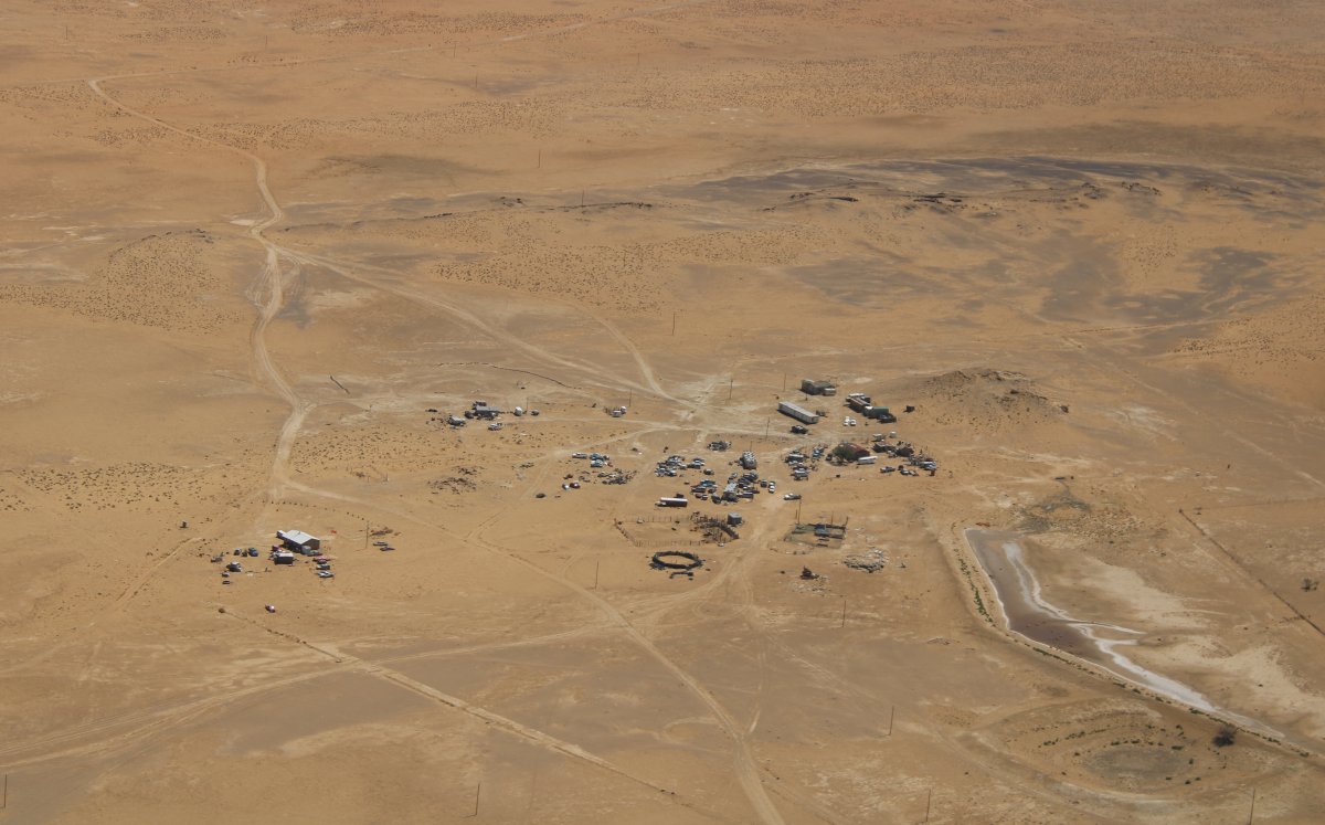
| Some sort of compound out in the middle of nowhere. |
| |
 |
|
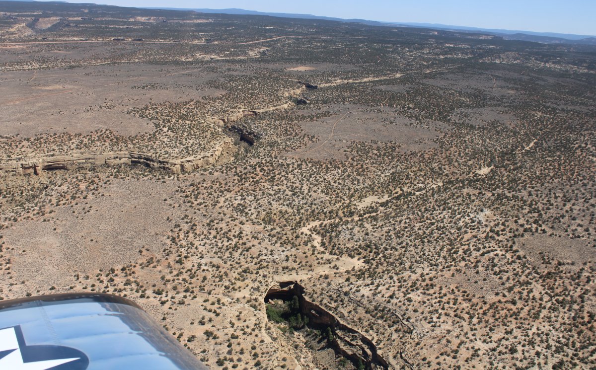
| Flying over a small range northeast of Gallup. |
| |
 |
|
|
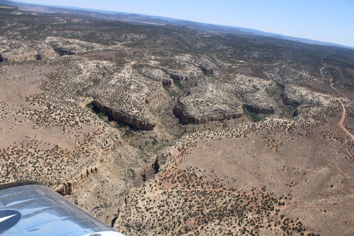
A good-sized canyon.
|
| |
 |
|
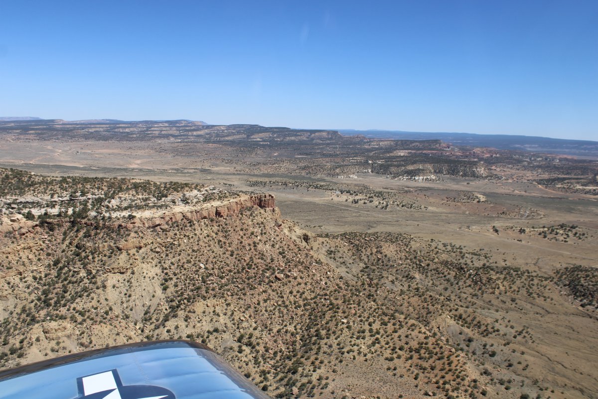
| I'm through the range. |
| |
 |
|
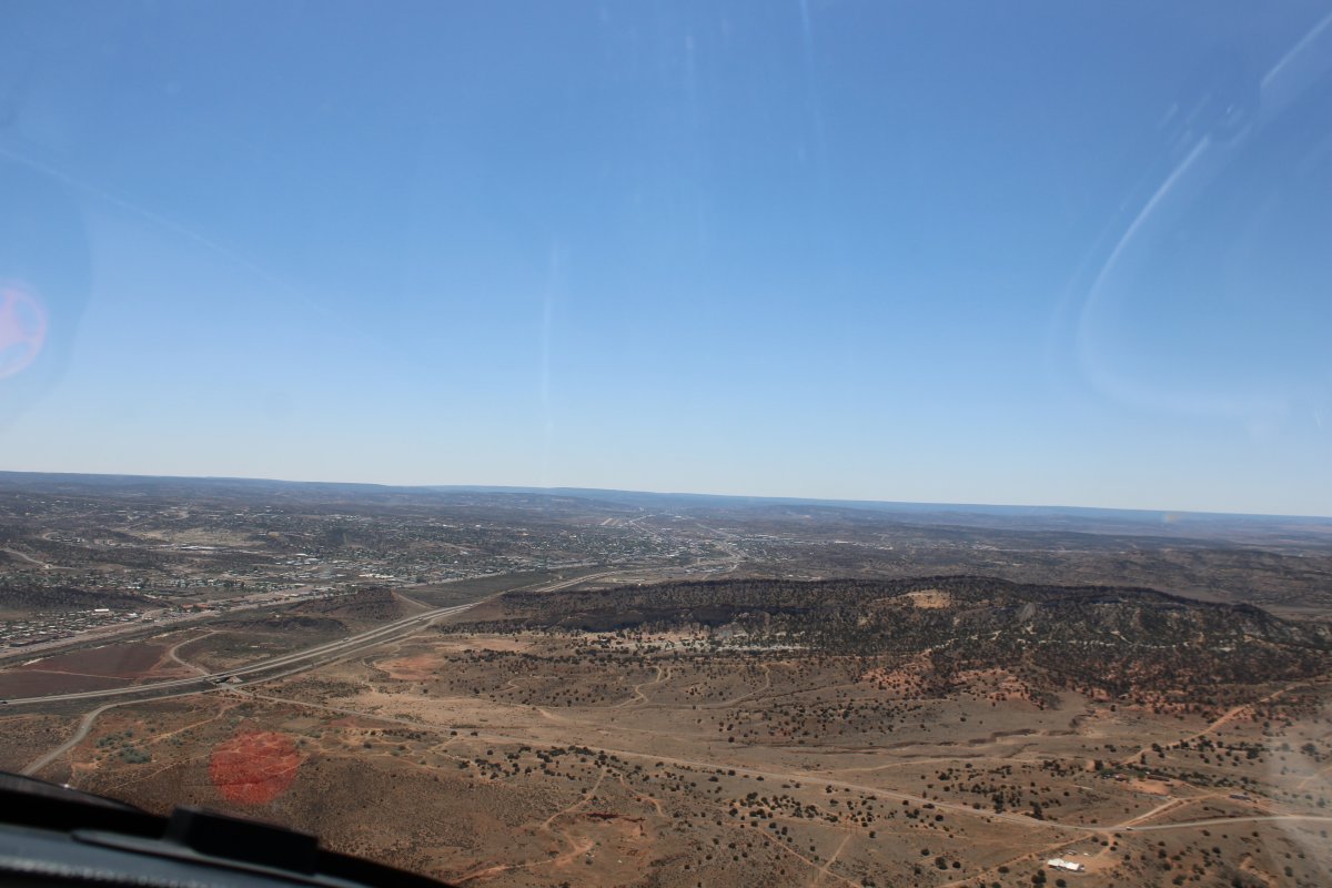
| And then there is Gallup dead ahead! |
| |
 |
|
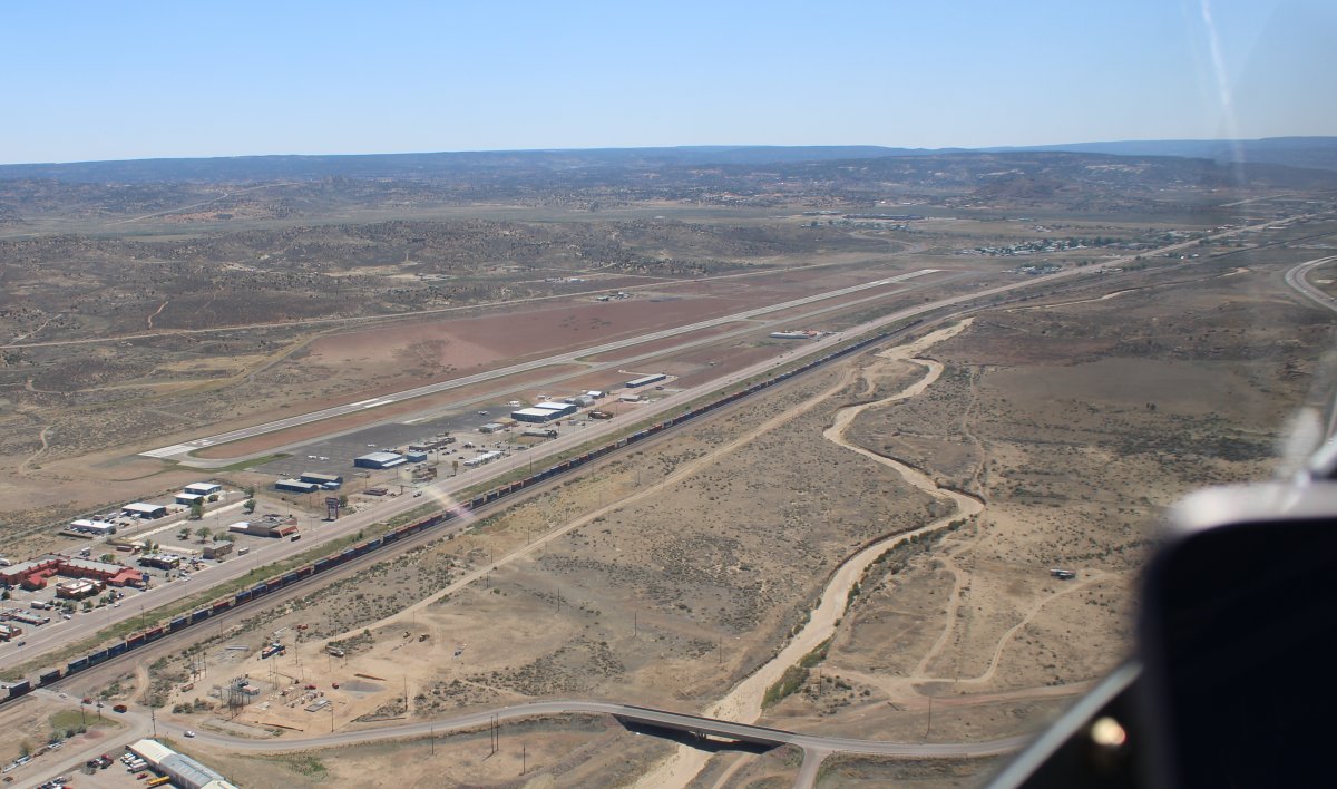
| Entering an upwind for runway Two Four at Gallup. |
| |
 |
|
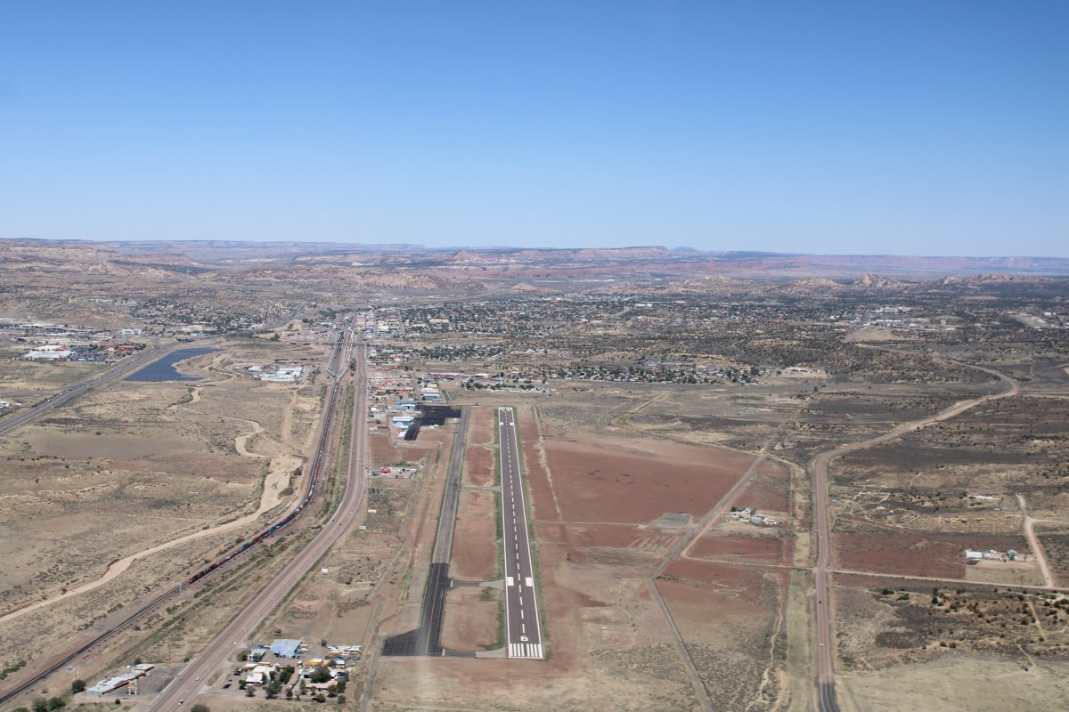
| A good shot of Gallup Airport with the town in the background. Interstate 40 is at far left. |
| |
 |
|
|
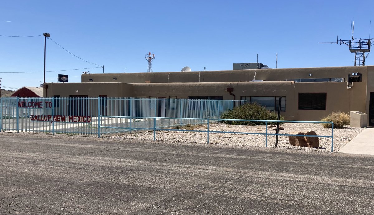
Parked in front of the FBO building and terminal at Gallup. I know the airport and town since I have landed here once before and stayed overnight in the town twice.
Both times we stayed overnight we stayed in the famous, El Rancho Hotel, home of the movie stars! But I knew Gallup doesn't let their courtesy car be used overnight so I decided to stay at a motel within walking distance of the airport. I found a great rate at the Howard Johnsons a little beyond the south end of the runway.
After landing, I fueled up and then tied the plane down. I talked with the attendants who were very friendly and helpful. One is going off to Marine boot camp in a few weeks! He ended up giving me a ride down to the HoJo's which was nice of him. The motel was outstanding albeit somewhat deserted. A good sandwich place was a short walk away.
|
| |
 |
|
| |
| |
|
|
|
|
|
|


