November 1, 2020 - Black Canyon of the Gunnison NP
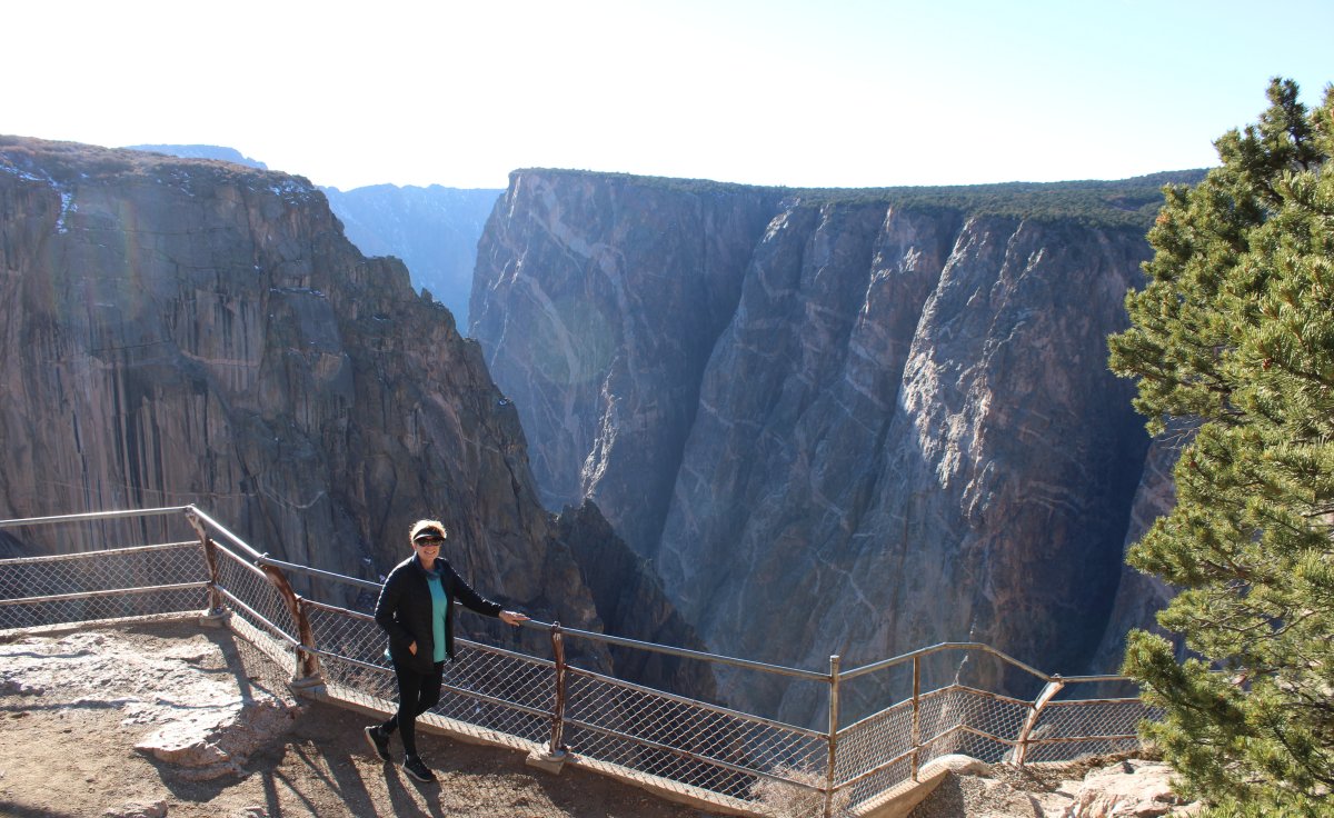
There was a little Ranger station on the north side but it was not manned.

From Wikipedia: The Ute Indians had known the canyon to exist for a long time before the first Europeans saw it. They referred to the river as "much rocks, big water," and are known to have avoided the canyon out of superstition. By the time the United States declared independence in 1776, two Spanish expeditions had passed by the canyons. In the 1800s, the numerous fur trappers searching for beaver pelts would have known of the canyon's existence but they left no written record. The first official account of the Black Canyon was provided by Captain John Williams Gunnison in 1853, who was leading an expedition to survey a route from Saint Louis and San Francisco. He described the country to be "the roughest, most hilly and most cut up," he had ever seen, and skirted the canyon south towards present-day Montrose. Following his death at the hands of Ute Indians later that year, the river that Captain Gunnison had called the Grand was renamed in his honor.
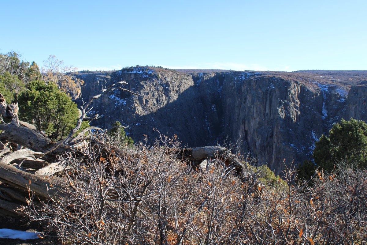
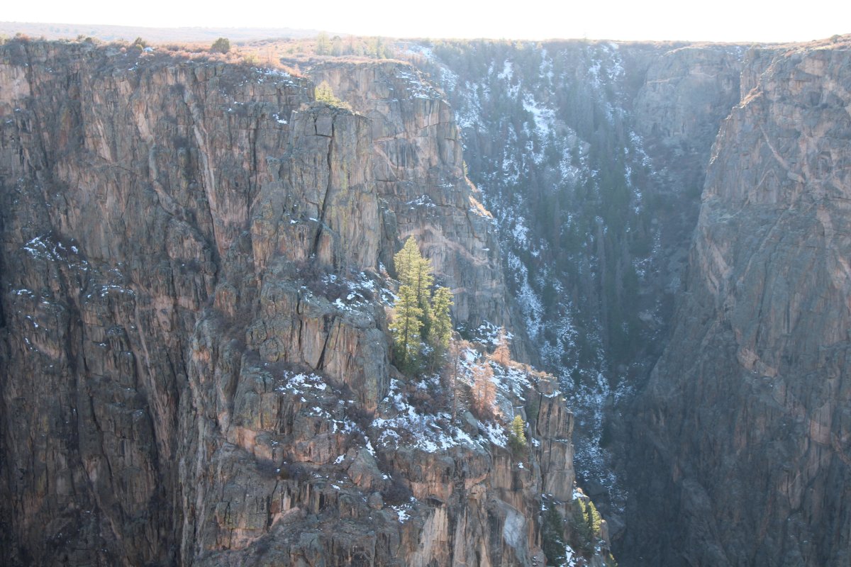
The Black Canyon of the Gunnison was established as a national monument on March 2, 1933, and was redesignated a national park on October 21, 1999. During 1933-35, the Civilian Conservation Corps built the North Rim Road to design by the National Park Service. This includes fives miles of roadway and five overlooks.
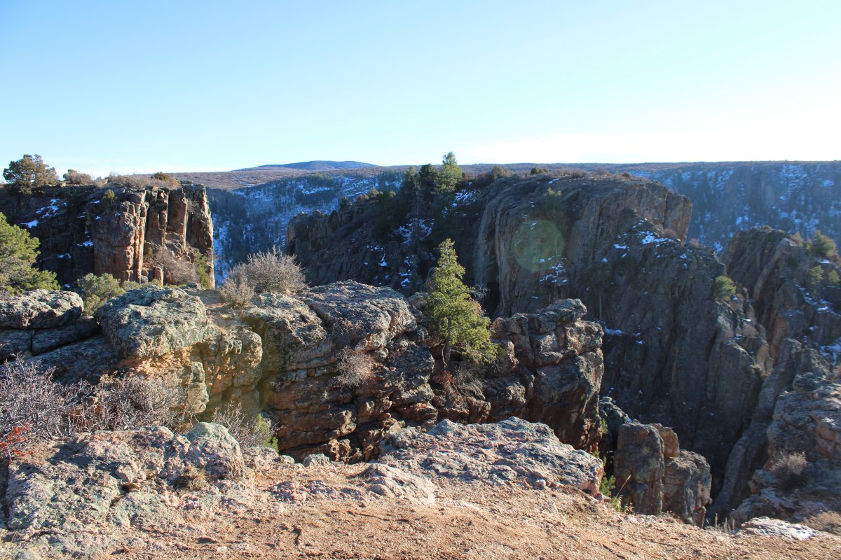
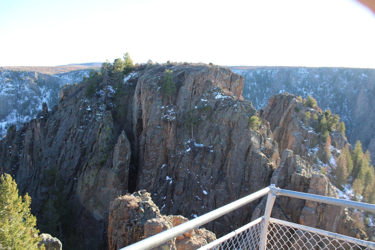
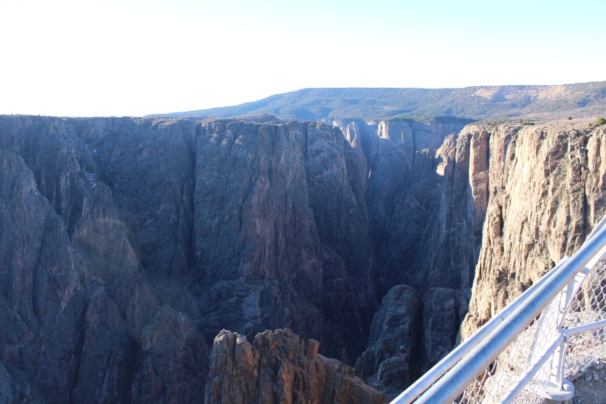
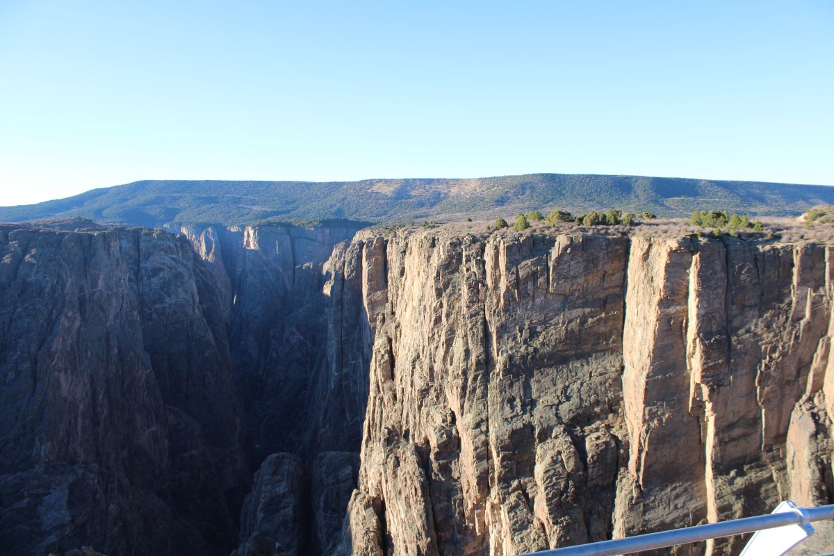
We drove along the rim road, and stopped at all five overlooks. We had the park to ourselves.
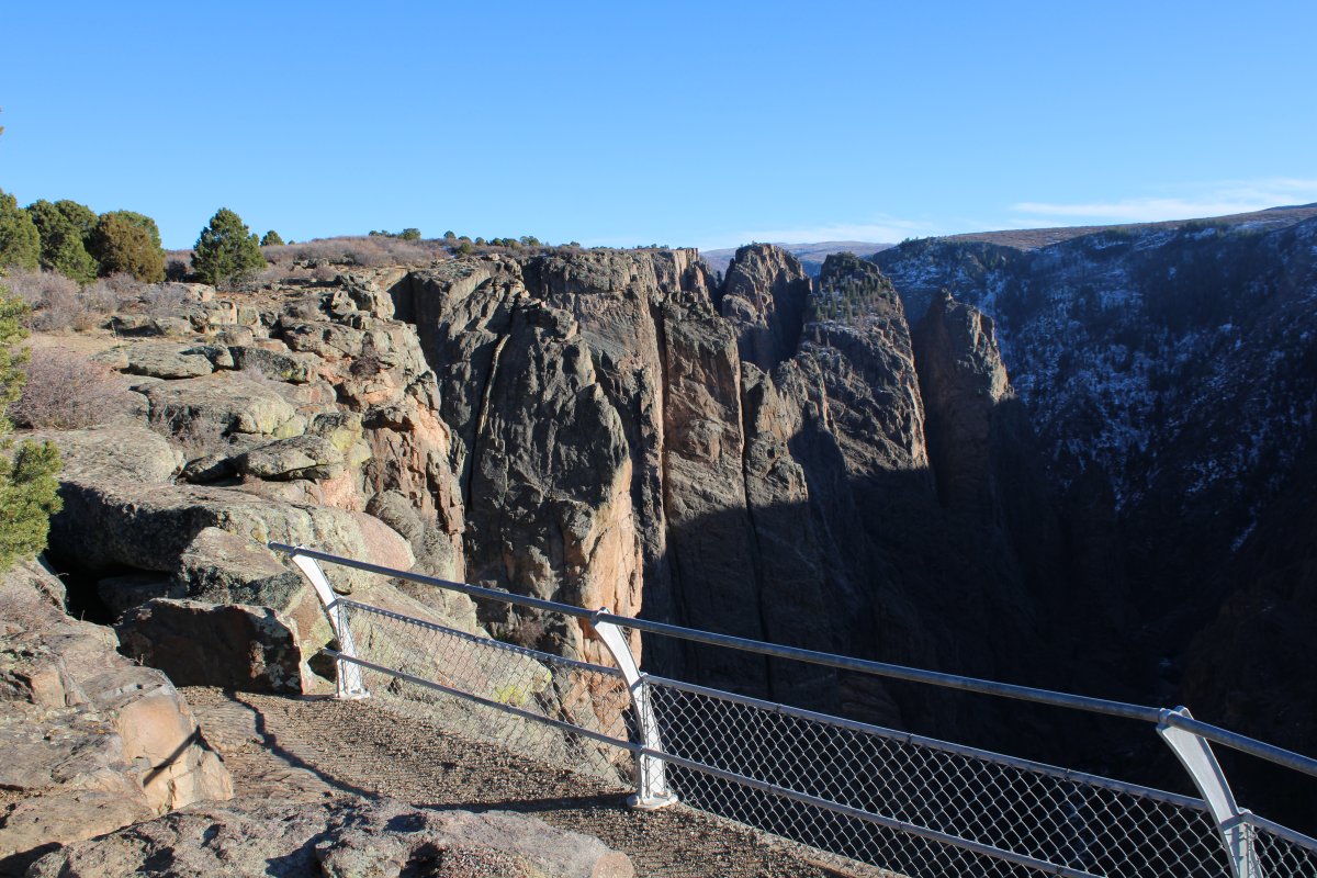
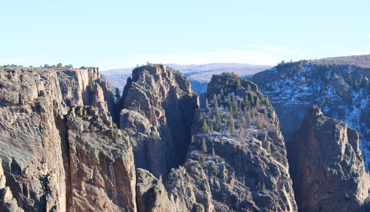


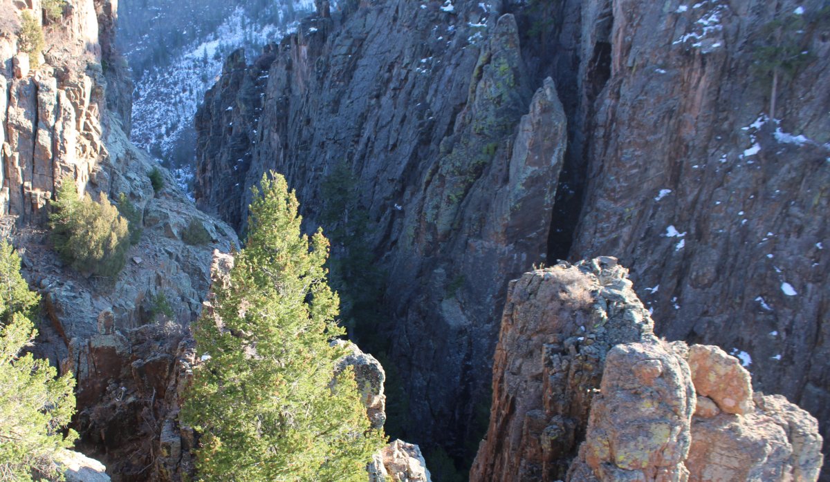
Light and shadows.
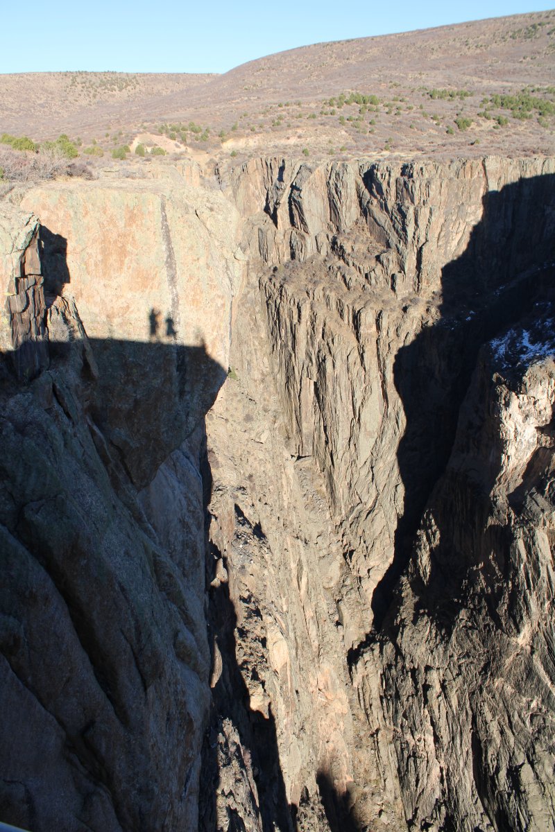
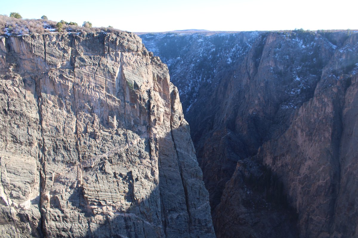
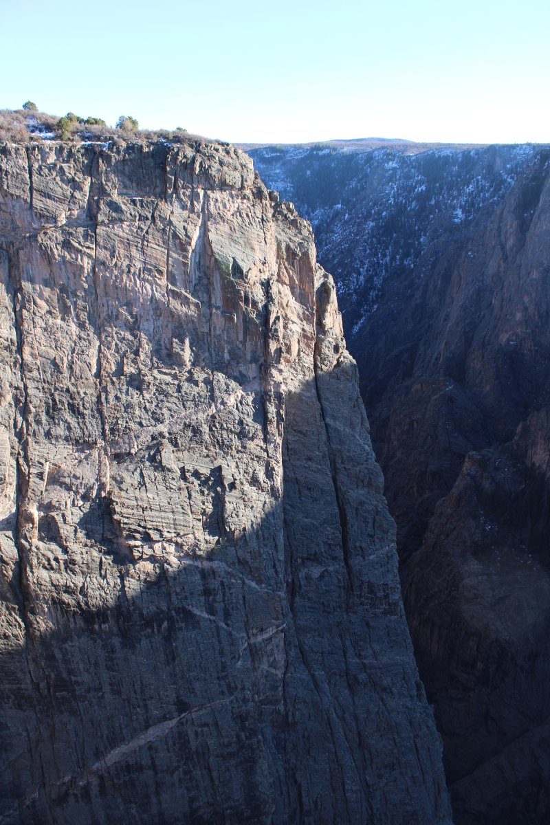
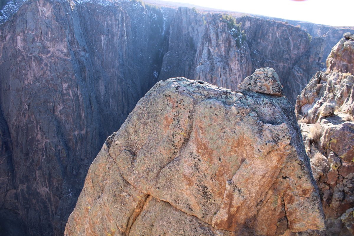
The river can also be accessed by steep, unmaintained trails called "routes" or "draws" on the north and south rim. These routes require about two hours to hike down and two to four hours to hike back up, depending on which route is taken. All inner canyon descents are strenuous and require Class 3 climbing and basic route finding skills. Steep talus, impassable ledges, and lack of cover are some of the challenges hikers are faced with. Poison ivy also grows abundantly in the draws and on the canyon floor. Long sleeves and hiking boots are strongly recommended. The flow rate of the Gunnison River should also be considered for those planning on camping in the canyon, as high river levels can wash out the camp sites. The National Park Service warns the following: "Routes are difficult to follow, and only individuals in excellent physical condition should attempt these hikes ... Hikers are expected to find their own way and to be prepared for self-rescue."
Maybe in my younger days....
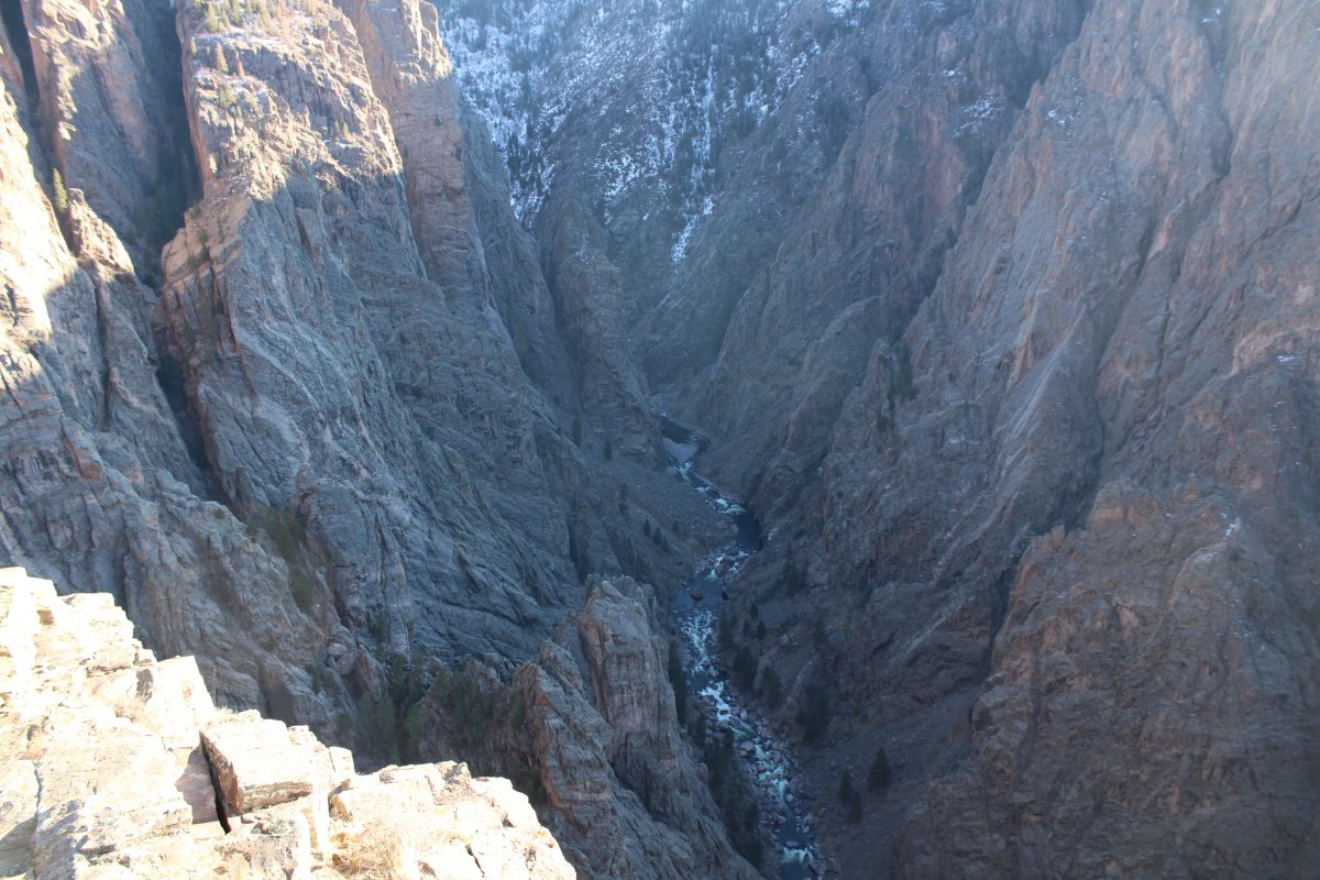
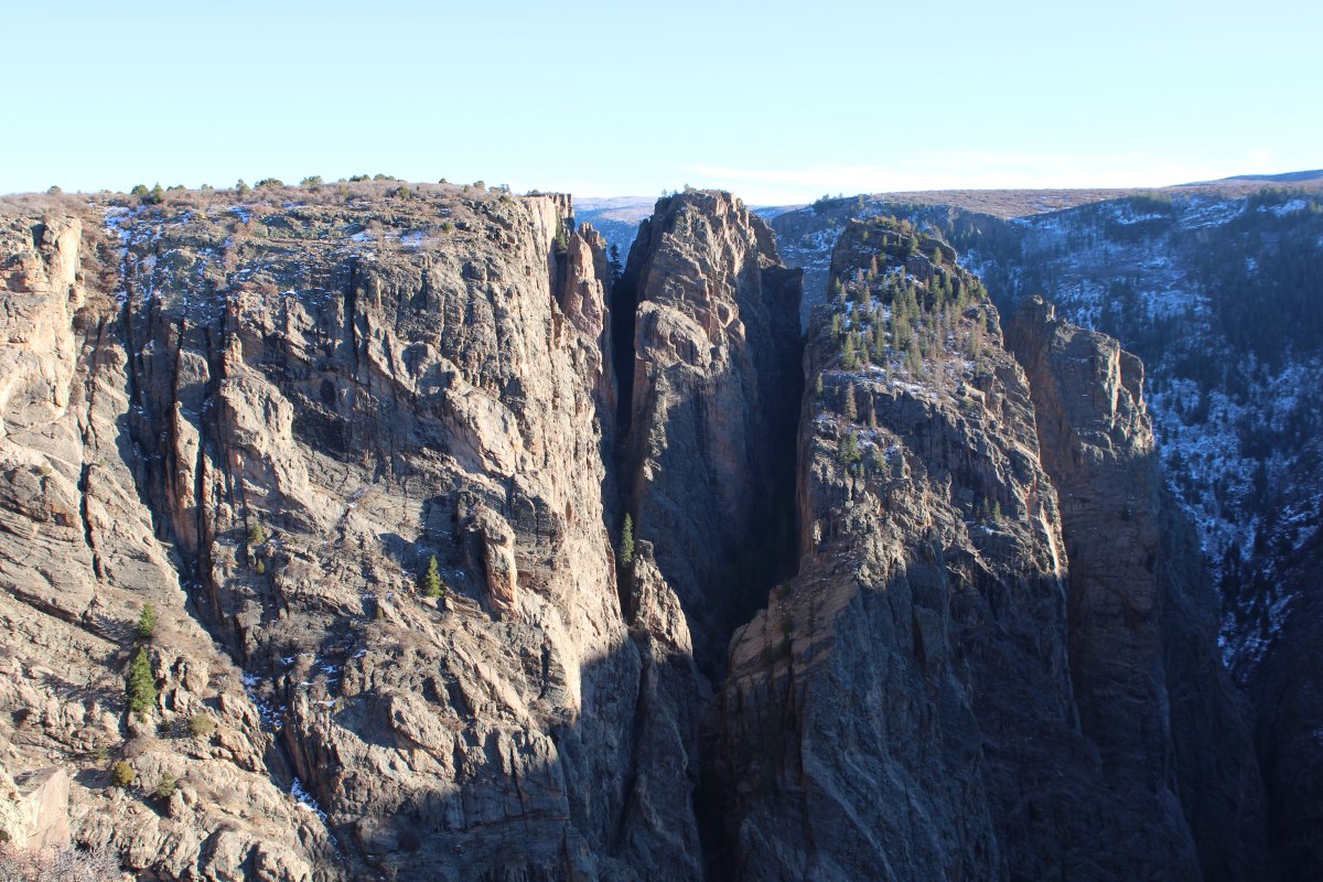
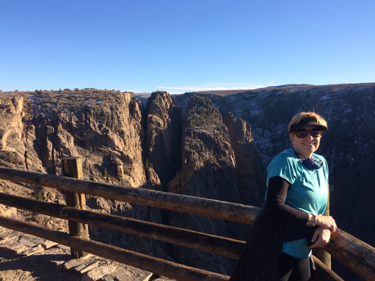
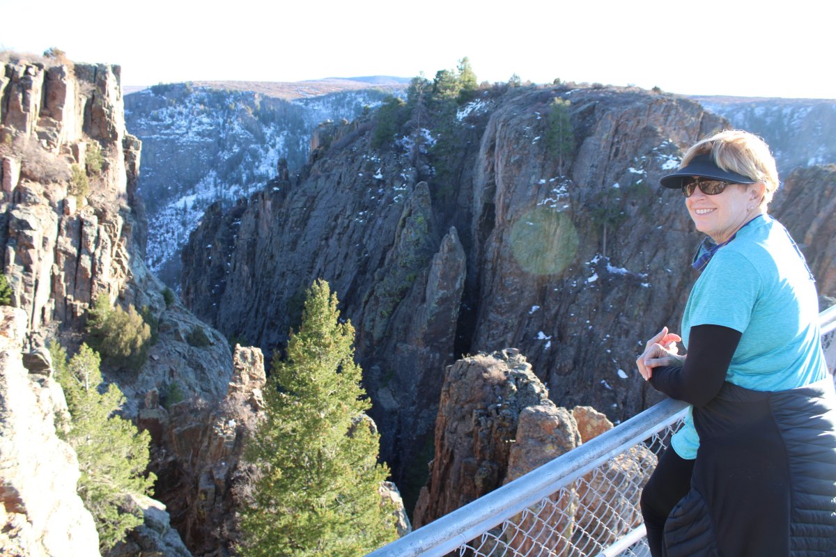
Lynnette has no fear of heights.


Rafting opportunities exist in the region, but the run through the park itself is a difficult technical run for only the best kayakers. There are several impassable stretches of water requiring long, sometimes dangerous portages. The remaining rapids are class III - V, and are only for expert river runners. Downstream, in the Gunnison Gorge National Conservation Area, the river is somewhat easier to navigate, though still very remote and only for experienced runners, with rapids that are Class III - IV.


We left the park and retraced out steps back to Hotchkiss, got on Highway 133 again to Delta, then down Highway 50 to Montrose, where we spent the night.
We saw this friendly guy heading out of the park.
