October 31, 2020 - Denver and the Red Rocks Amphitheatre
|
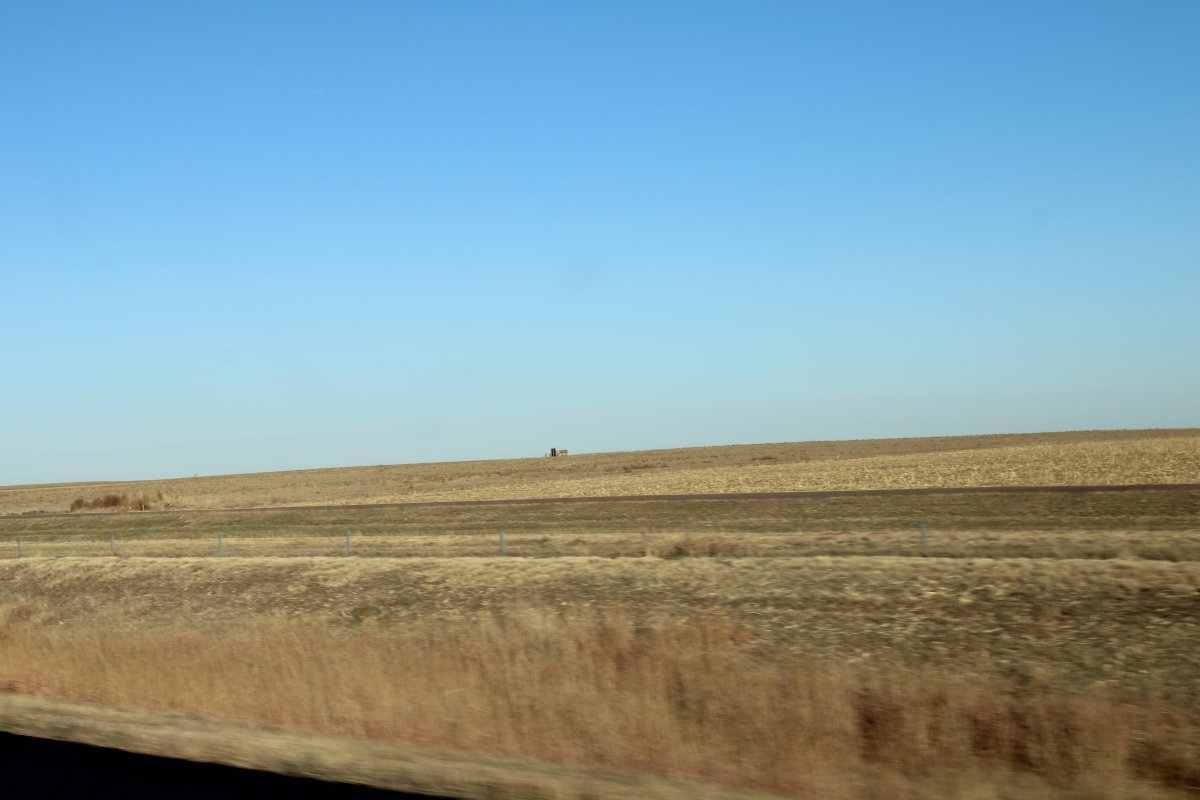
| We left Colby, Kansas in the morning and headed west on I-70. In the beginning it was still Great Plains. But after crossing into Colorado, Great Plains gradually turned to High Desert -- flat, hard-baked dirt with tumbleweeds blowing across the highway. Our car slammed into a tumbleweed at 70 mph as it rolled into our path; it made a big bang but didn't damage the car. |
| |
 |
|
|
Along I-70 to Denver, there were a bunch of places like the "Old Town Museum", "Limon Heritage Museum & Railroad Park", and "Commanche Crossing Museum". And, of course, Denver itself had everything: Museum of Nature & Science, Air & Space Museum, Colorado Railroad Museum, Buffalo Bill Memorial Museum & Grave, Denver Art Museum, Colorado History Center, U.S. Mint, Acquarium, Union Station, State Capital.
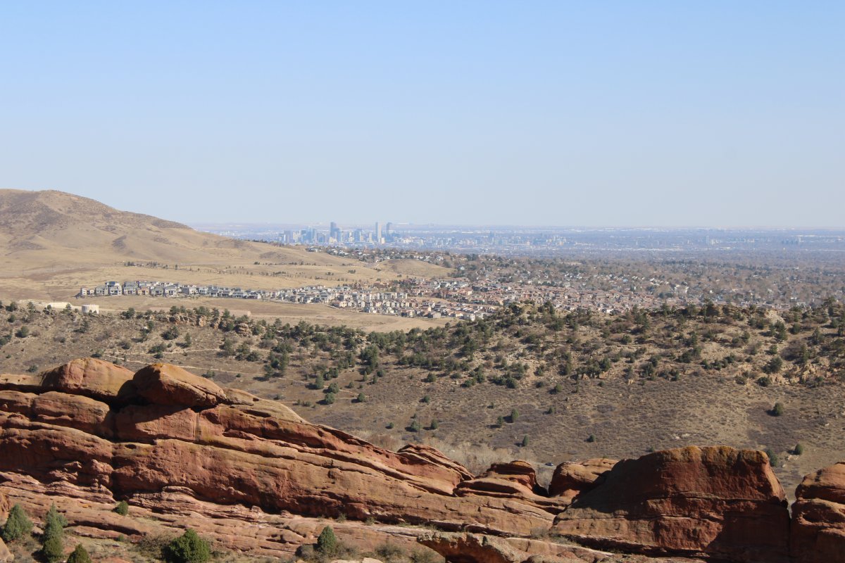
But I think we were museum'ed out. I think we were ready to see some natural wonders. So we passed on all of the above, drove through Denver, and stopped at the Red Rocks Amphitheatre on the west side of town, in the foothills overlooking the city.
|
| |
 |
|
|
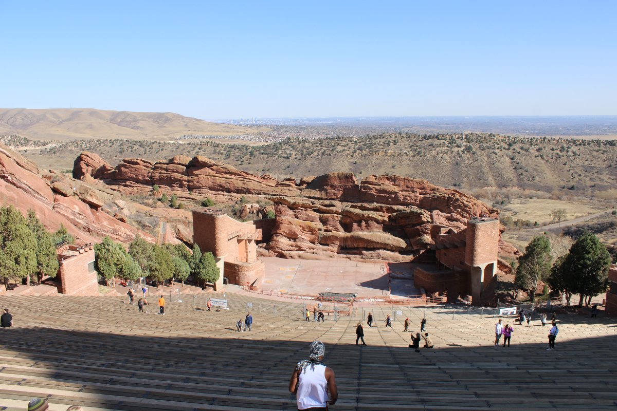
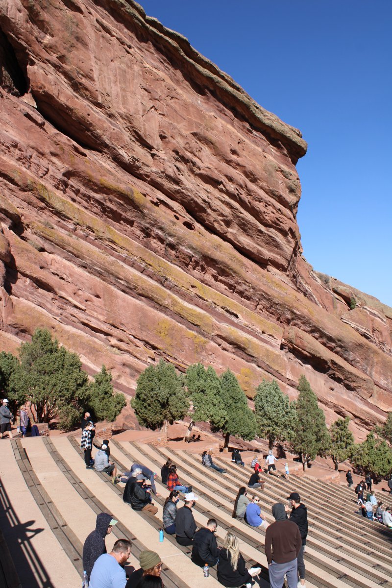
As you can see, it is an open-air amphitheatre built into a rock structure.
In 1927, the City of Denver purchased the area of Red Rocks; construction of the amphitheater began in 1936, and was opened to the public in June 1941. Many notable performances and recordings for film and television have taken place here. The Beatles played here in 1964. It has a eating area for up to 9,525.
What a view!
|
| |
 |
|
|
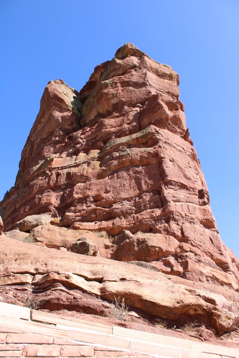
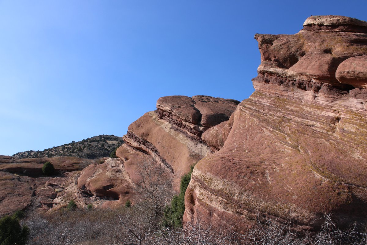
Towering red rock surrounded the amphitheatre.
|
| |
 |
|
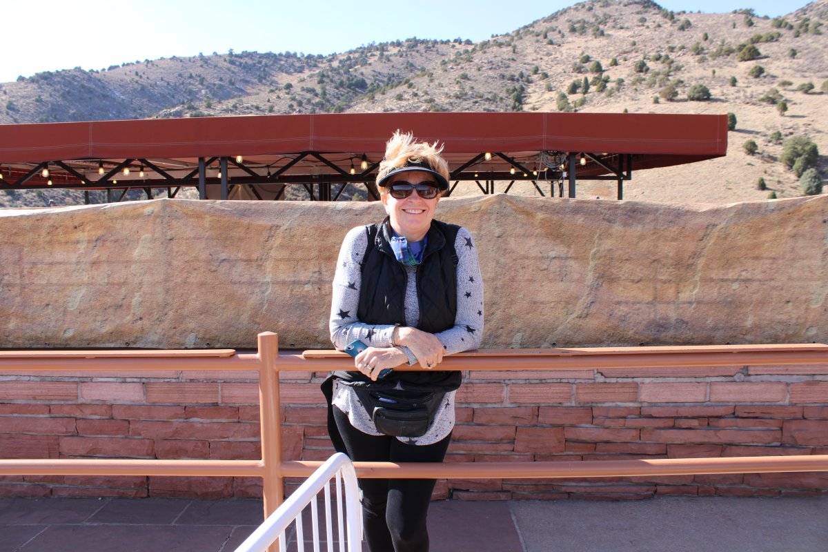
| Lots of people were taking advantage of the gorgeous day in this beautiful spot. |
| |
 |
|
| |
| |
 |
|
|
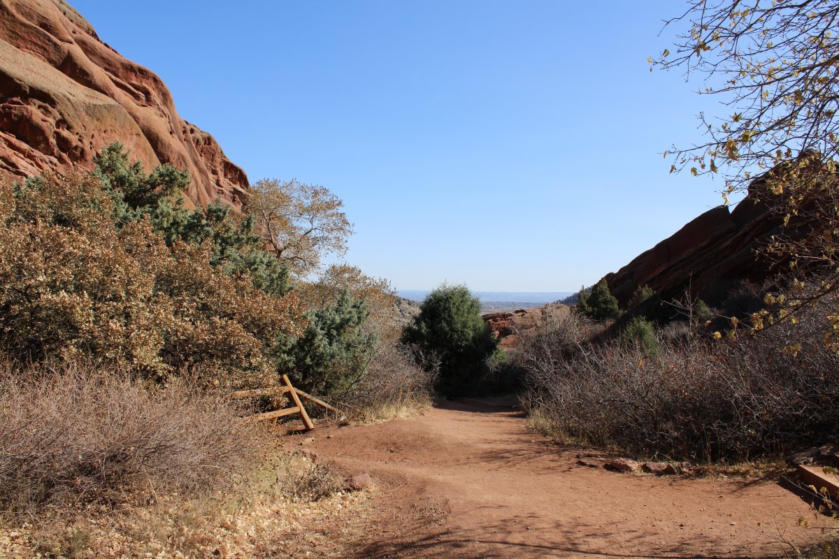
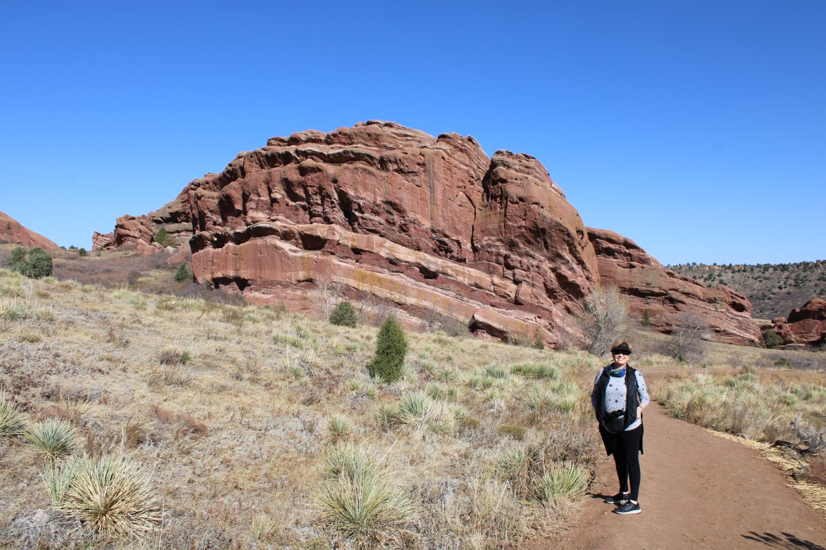
There were hiking trails too, so Lynnette and I went on a hike.
|
| |
 |
|
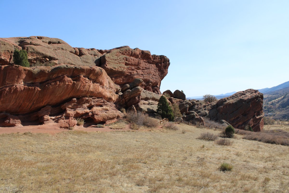
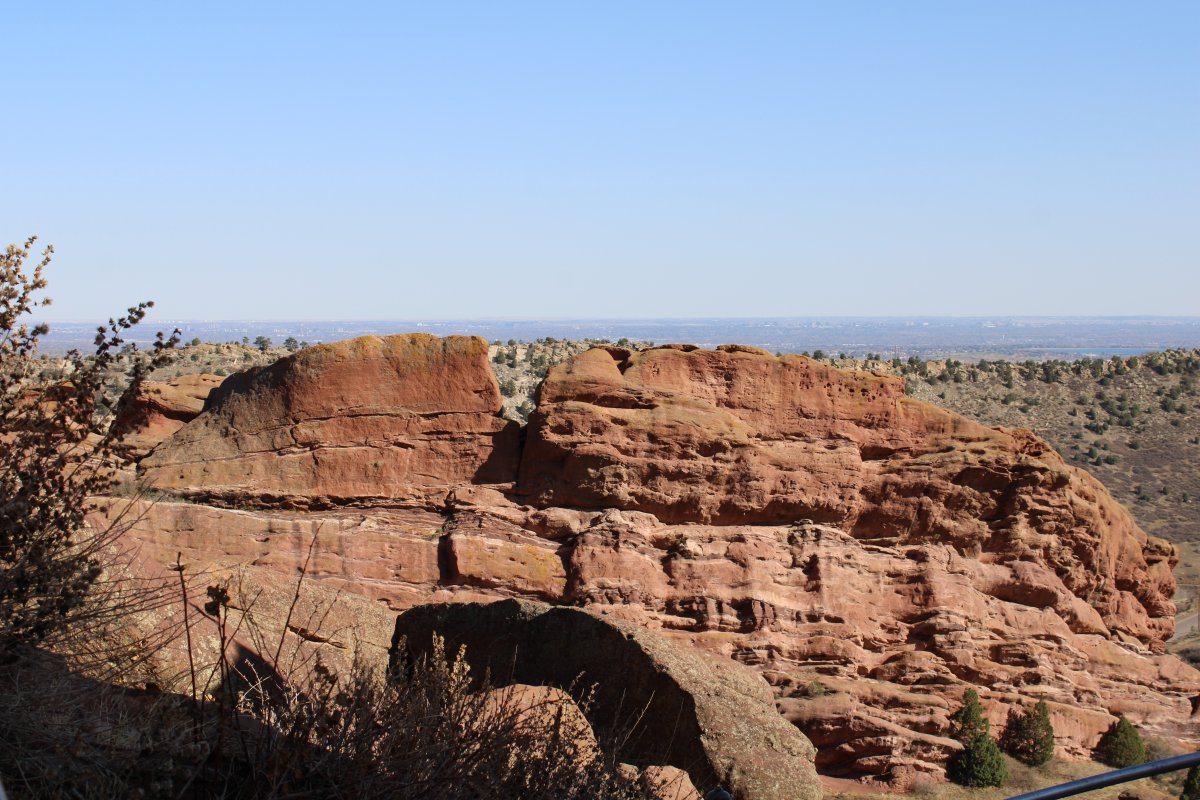
| After being in the flatlands for so long, it was sensory overload in the red rock mountains. |
| |
 |
|
|
|
| |
 |
|
| |
| |
 |
|
| |
| |
 |
|
| |
| |
 |
|
|
|
| |
 |
|
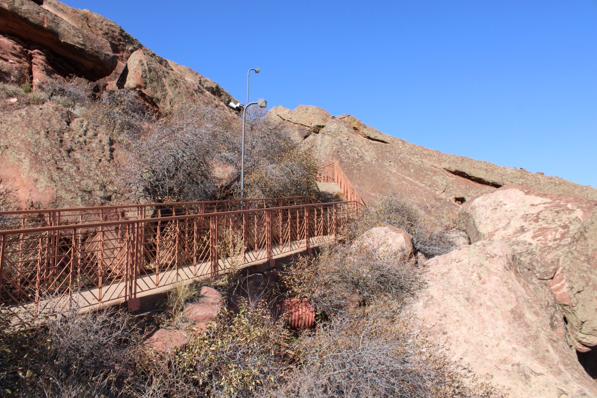
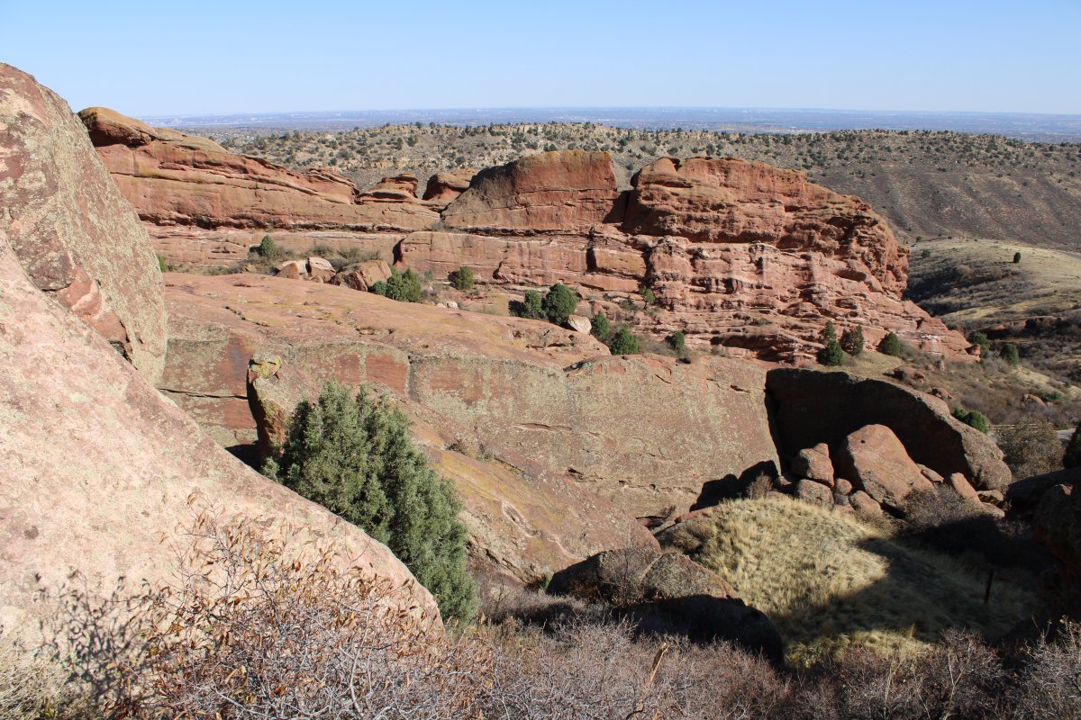
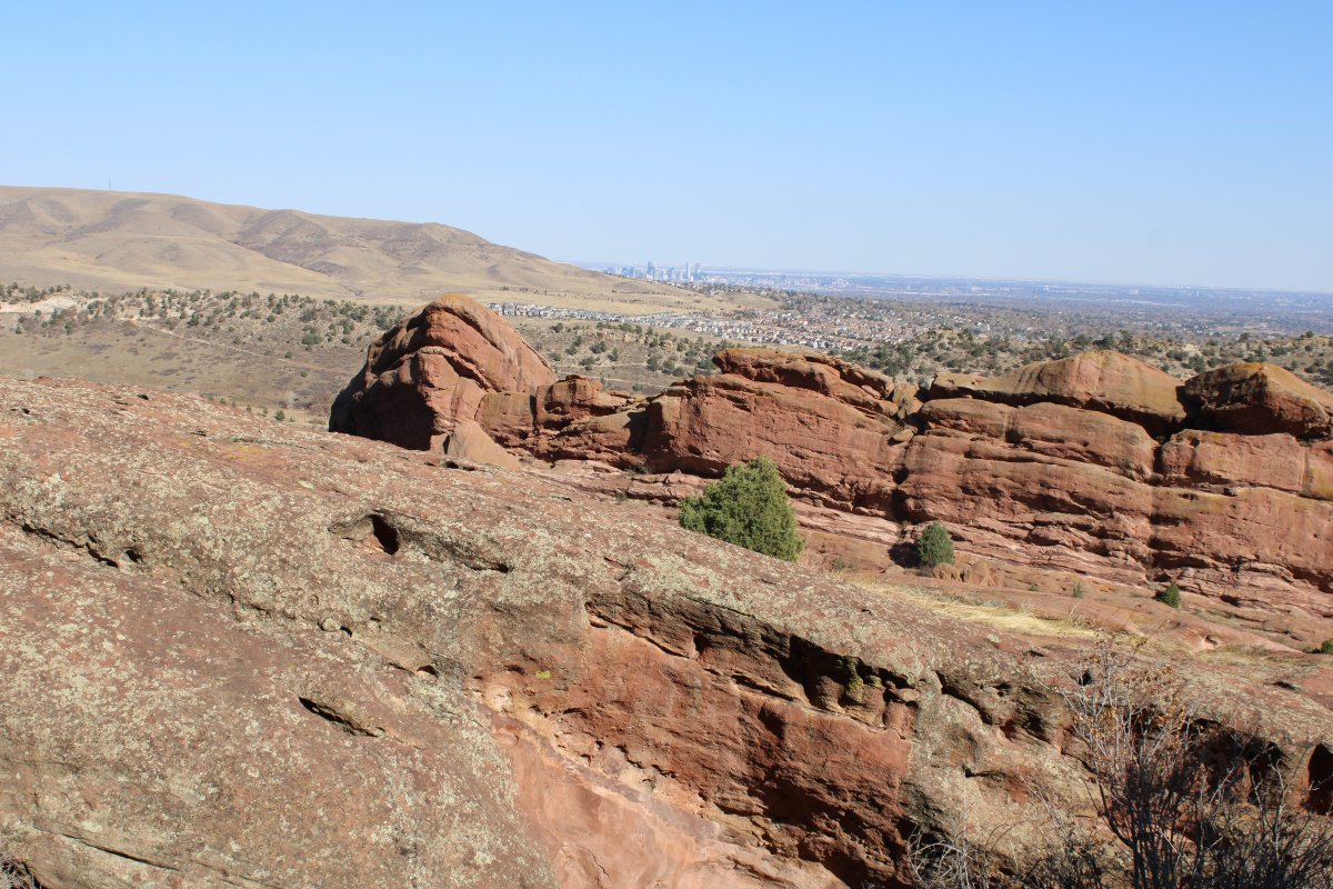
| The first half of the trail was mostly downhill. Heading back to the amphitheatre and parking lot was mostly uphill. Plus we are 6,450 feet above sea level (they don't call Denver the mile-high city for nothing). Payback time. |
| |
 |
|
|
|
| |
 |
|
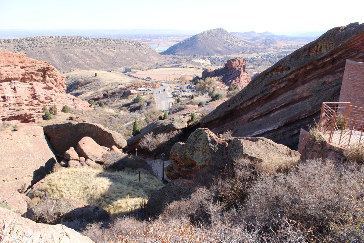
| Looking down at theTrading Post where we had passed through. |
| |
 |
|
| |
| |
 |
|
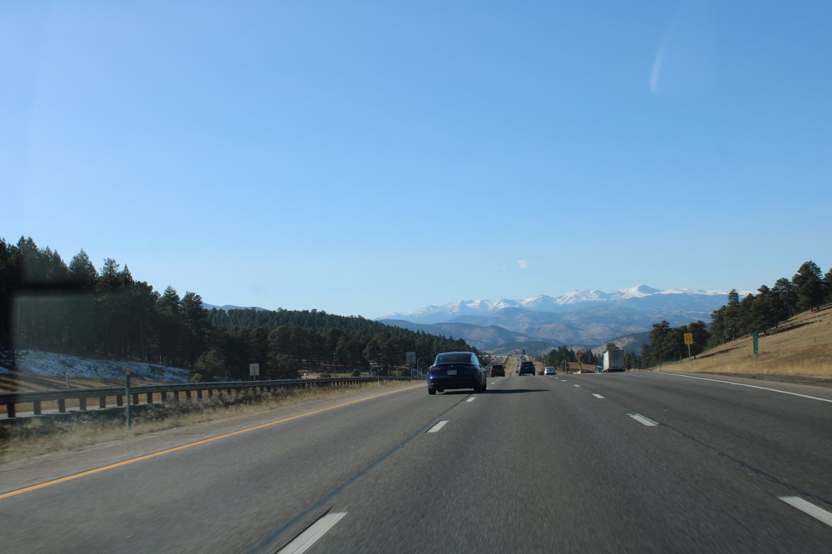
| After the Red Rock Amphitheatre, we got back on Interstate 70 and continued west, into the heart of the Rocky Mountains. I have never really been this way before -- if I have, I don't remember it -- either by car or by plane. |
| |
 |
|
|
I'm guessing those are a couple of 14,000 foot mountains.
|
| |
 |
|
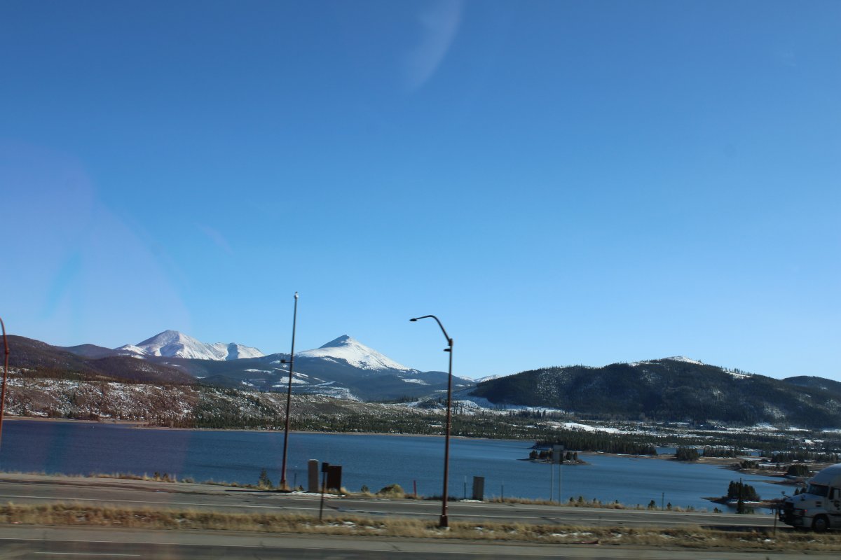
| Beautiful. It's been awhile since we've been in the Rockies; at first it is overwhelming. |
| |
 |
|
|
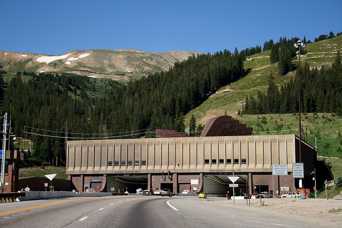
About 60 miles west of Denver, we passed through the famous Eisenhower Tunnel. It came upon us so quick we didn't get a good picture of it.
But here is a good picture of it by Patrick Pelster from Wikipedia.
The Eisenhower tunnel carries Interstate 70 under the Continental Divide in the Rocky Mountains. With a maximum elevation of 11,158 feet above sea level, it is one of the highest vehicular tunnels in the world. The tunnel is the longest mountain tunnel and highest point on the Interstate Highway System. With the completion of the second bore in 1979, it was one of the last major segments of the Interstate system to be completed.
U.S. Highway 6 to the south can be used as a bypass. It is used by prohibited trucks, bicyclists, pedestrians, and those who wish to stop and view the scenery. It is longer and and involves a steeper climb and descent across Loveland Pass at 11,992 feet above sea level. Next time.
|
| |
 |
|
|
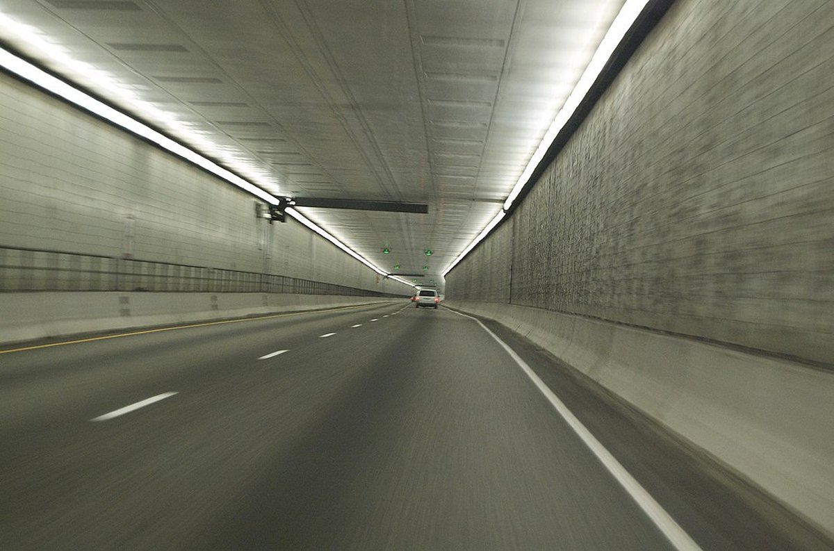
Another Wikipedia photograph, this one by Benjamin Clark. This looks pretty much like the Baltimore Harbor Tunnel -- I guess tunnels pretty much all look the same.
The Eisenhower tunnel is approximately 1.7 miles long.
|
| |
 |
|
|
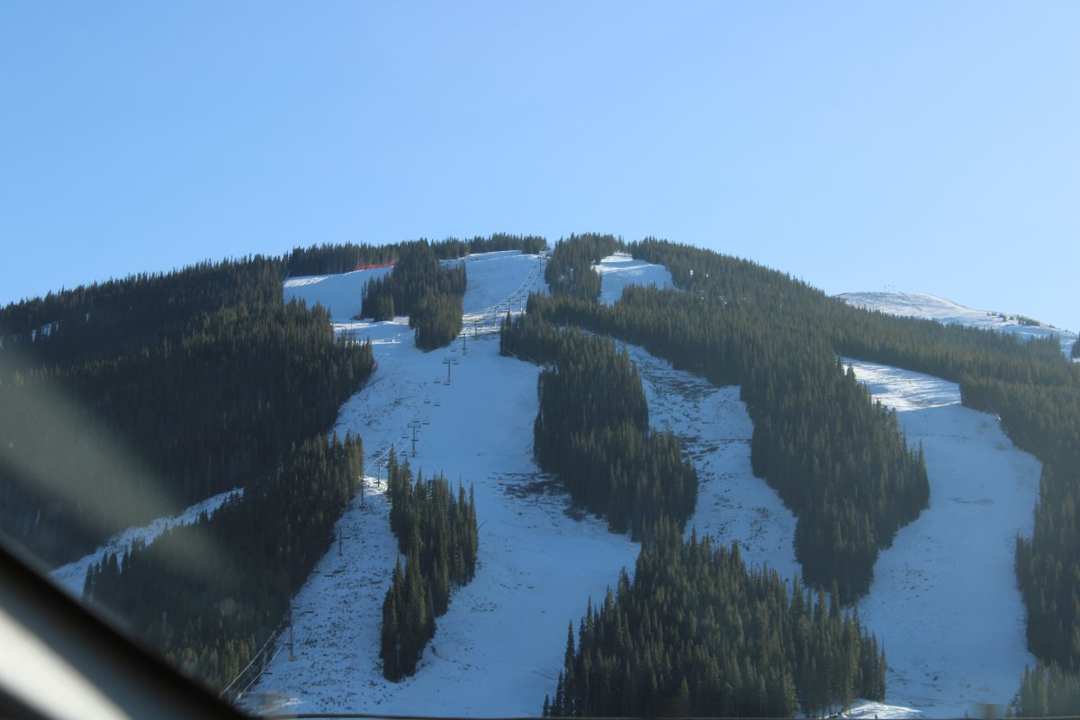
Passing by the ski slopes of the Vail Ski Resort at Vail. The Vail Ski Resort is the third-largest single-mountain ski resort in the United States, behind Big Sky, Montana and Park City, Utah. Vail Village is modeled on Bavarian village styles, with pedestrian streets. Unlike other Colorado ski towns such as Aspen, Breckenridge, or Steamboat Springs, which existed as 19th century mining towns prior to the establishment of their ski resorts, the Vail village was built when the resort opened in 1962.
|
| |
 |
|
|
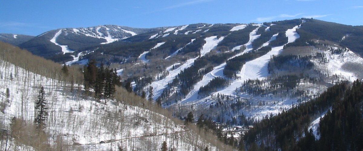
A better picture of Vail Ski Resort off of Wikipedia.
We passed by Vail and stayed overnight in the little town of Eagle about 30 miles to the west, off of I-70.
|
| |
 |
|
| |
| |
|
|
|
|
|
|


