October 24, 2020 - Cahokia Mounds
|
|
Our first stop today was the Cahokia Mounds State Historic Site. This one has also been on my bucket list for a long time. It is east of St. Louis, on the Illinois side, just south off Interstate 70.
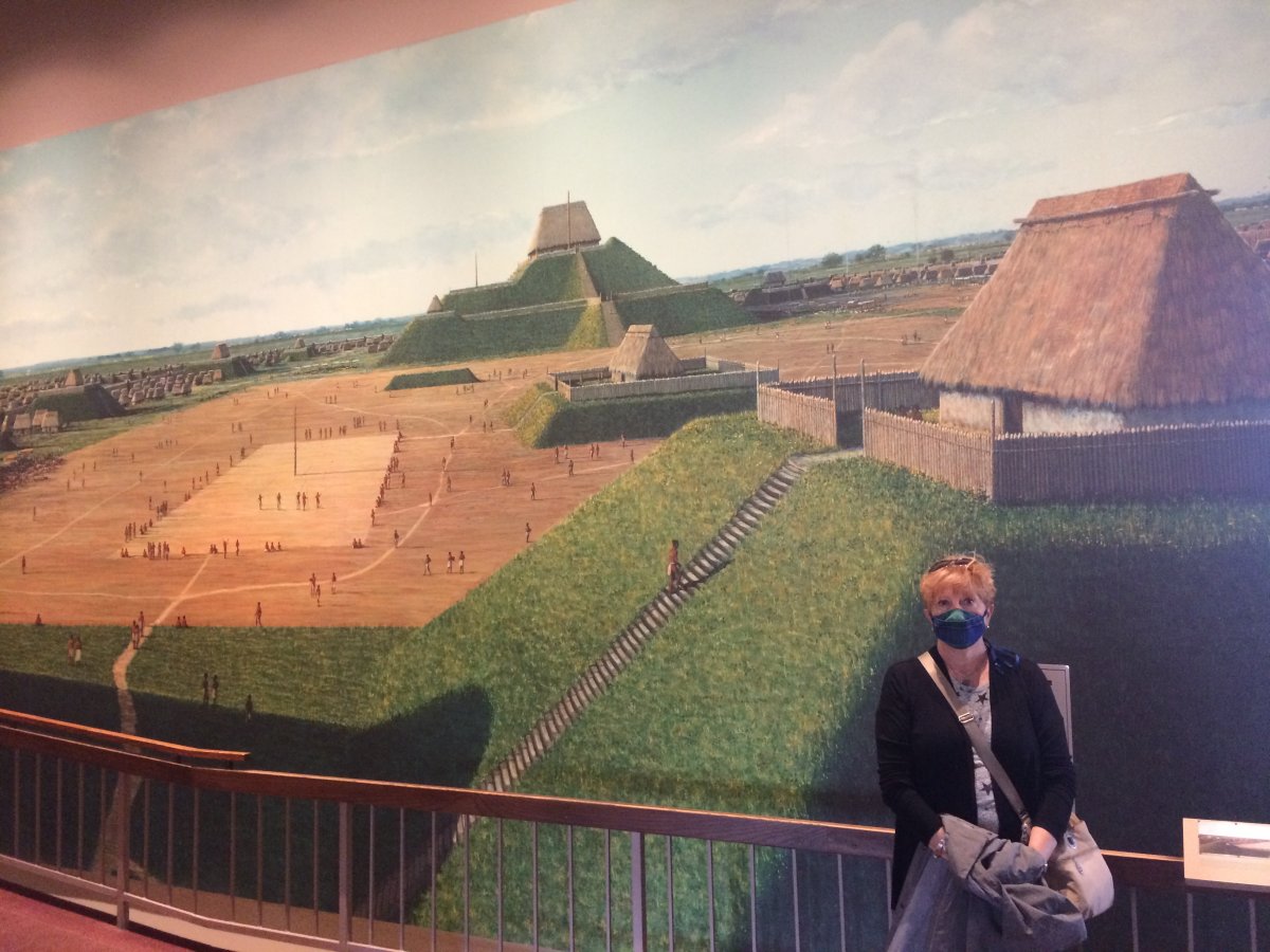
The excellent Interpretive Center is behind Lynnette and was our first stop.
|
| |
 |
|
|
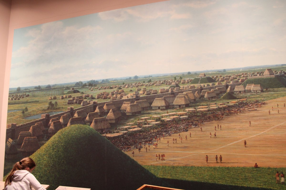
Immediately upon walking in the Interpretive Center was this huge wall painting showing Cahokia at its peak sometime during 1050-1200 AD showing the huge Monks Mound in the background with the Great Plaza in front of it.
Cahokia Mounds is the largest prehistoric Indian site north of Mexico. It covered about 4000 acres and included at least 120 mounds. Cahokia peaked from AD 1050 - 1200 with a population of 10-20,000 people. By AD 1200, the population began to decline. By the mid-1300s, Cahokia was essentially abandoned. They aren't really sure why although the decline of the city coincides with the Little Ice Age (AD 1300 - 1850). It could have been depletion of resources, extended droughts, disease, who knows? Where the Cahokians went, or what tribes they became, will never be known.
The site was named a U.S. National Historic Landmark in 1965 and in 1982 it was designated a UNESCO World Heritage Site, one of 20 in the U.S.
|
| |
 |
|
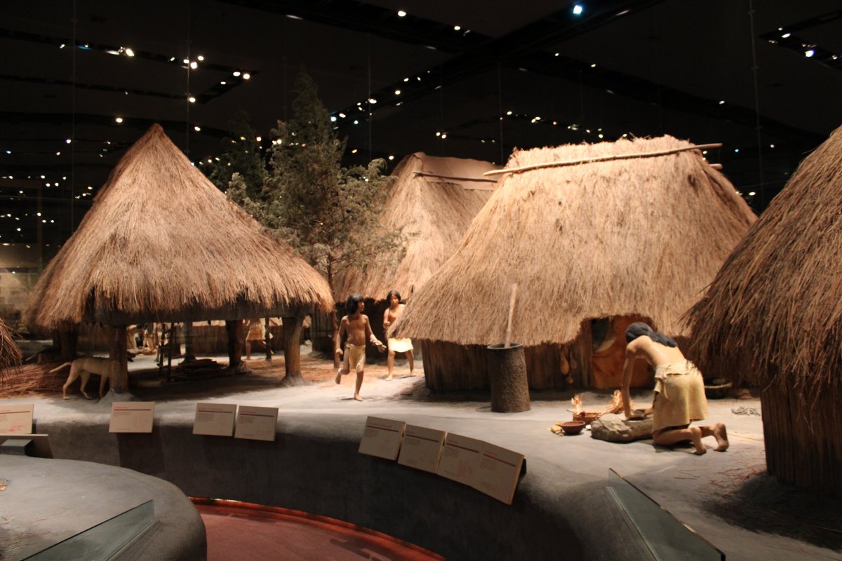
| A diorama of life along the Mississippi. |
| |
 |
|
|
A Cahokia village.
|
| |
 |
|
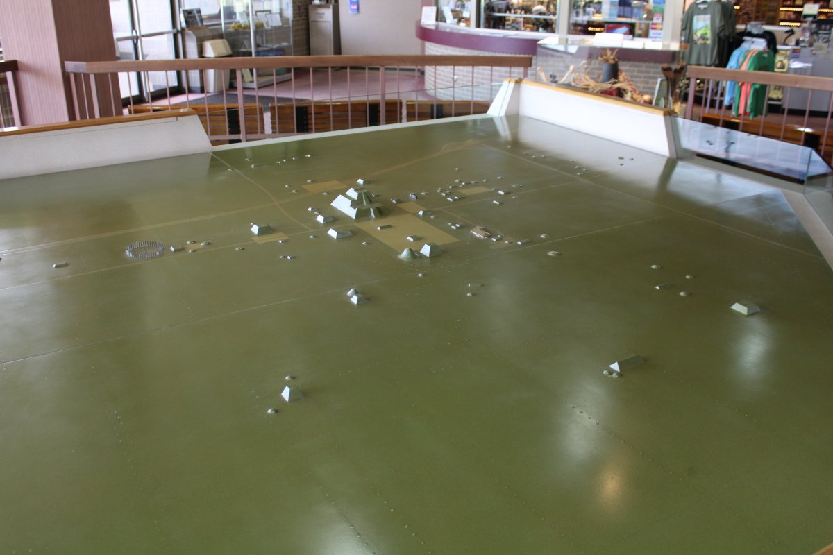
| This picture shows all the 120 mounds in the Cahokia area. The big one is Monks Mound. |
| |
 |
|
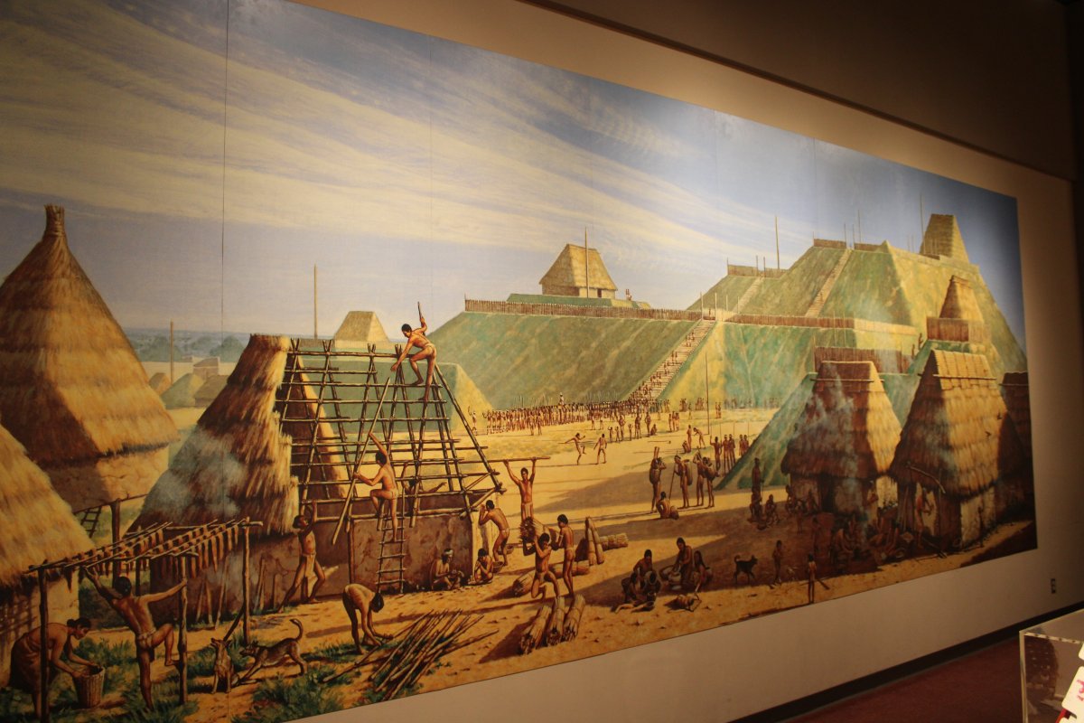
| Another painting of Monks Mound on the right with the Grand Plaza on the left. |
| |
 |
|
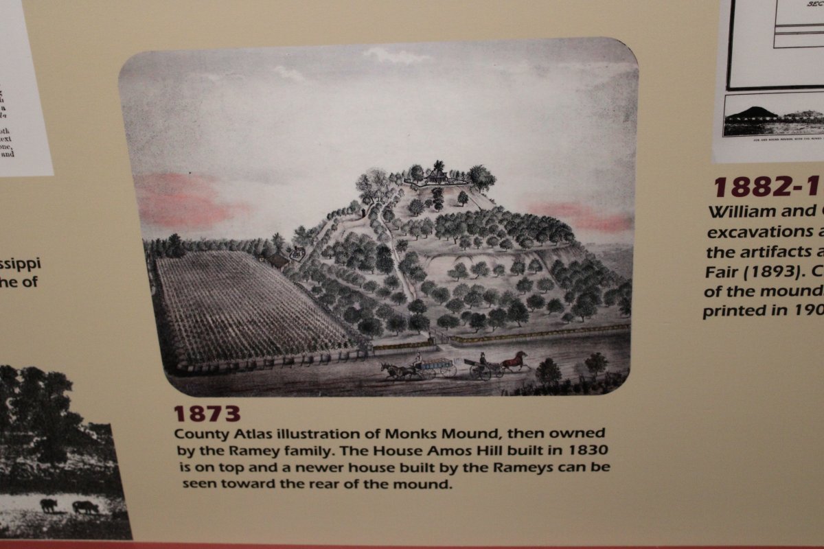
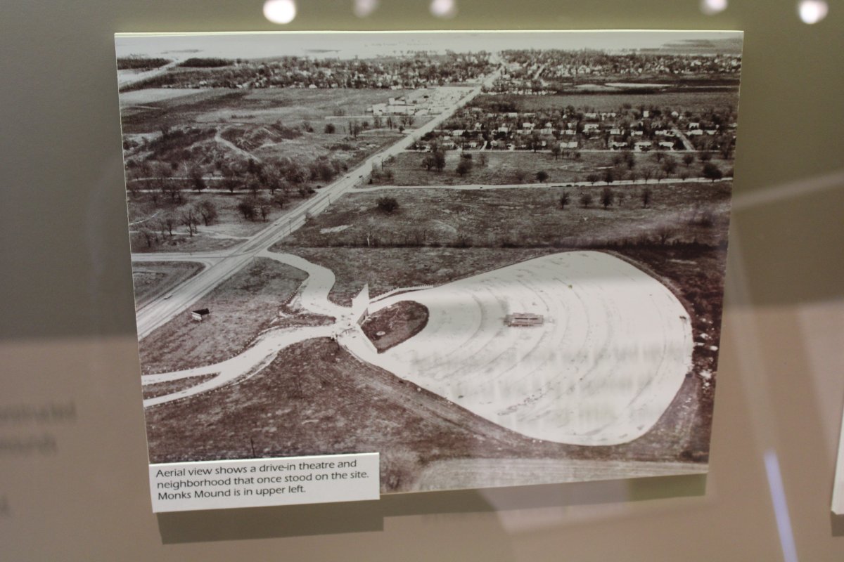
| In the 19th century, no one knew what the mounds were or their historical significance. Monks Mound was privately owned with a couple of houses on it. |
| |
 |
|
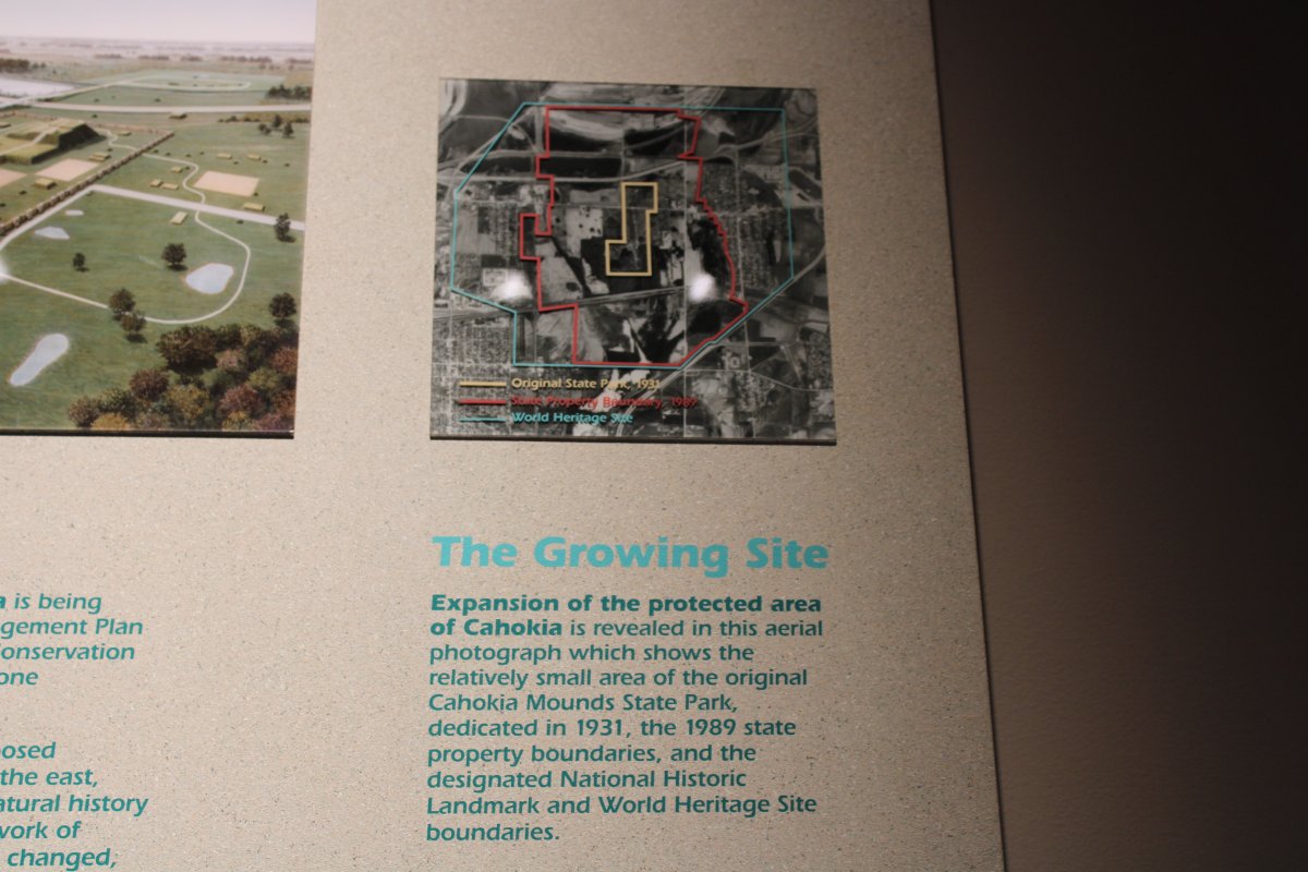
| The original Cahokia Mounds State Park, dedicated in 1931, was very small. As you can see from this area photo, the area around Monks Mound and the Great Plaza was developed. |
| |
 |
|
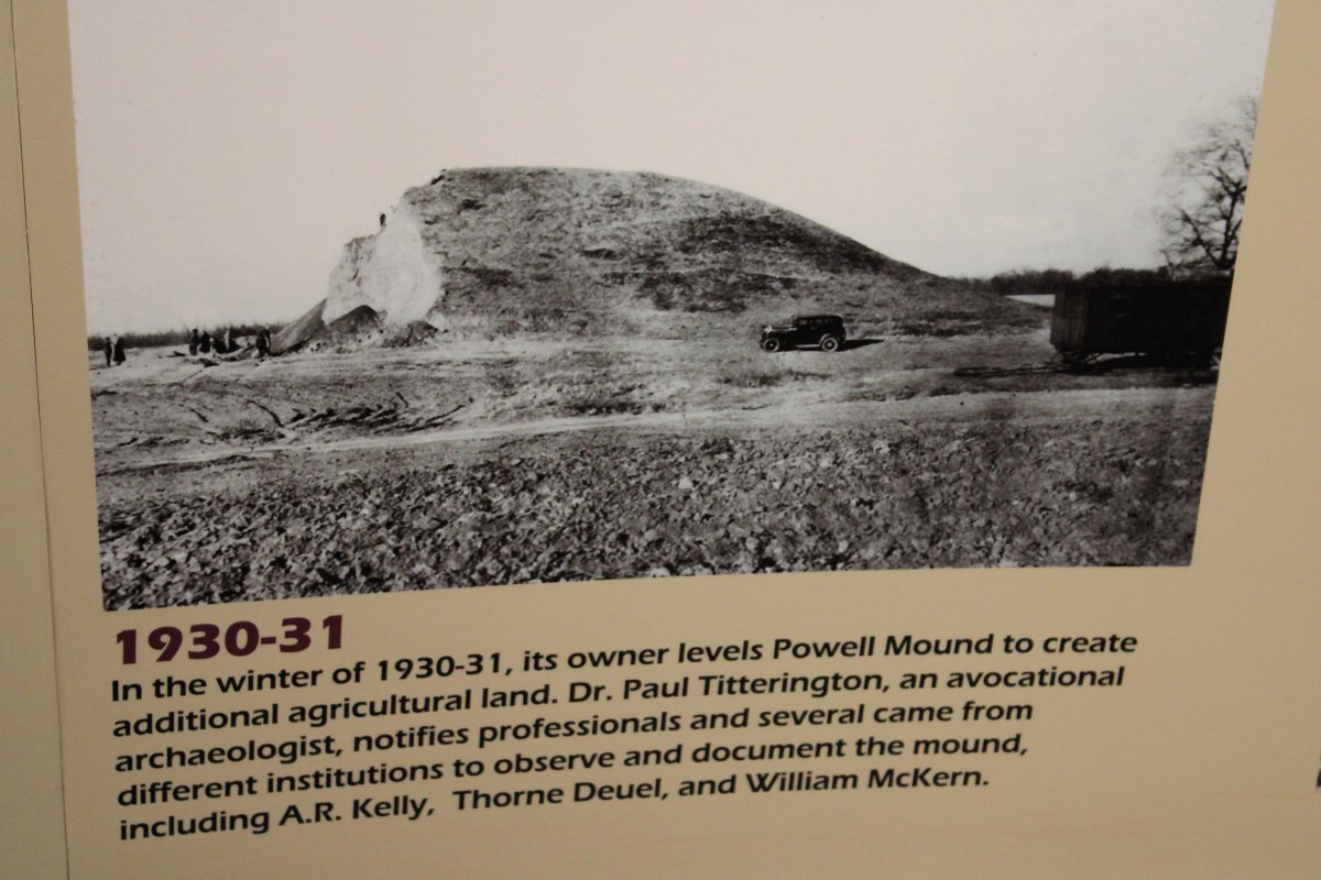
| At least one mound was bulldozed to create farm land. But archaeologists at least had a chance to learn some things from it. |
| |
 |
|
|
Gradually the State Park was expanded its present size which protects 2200 acres of the central portion of the site and 72 of the 80 remaining mounds.
|
| |
 |
|
|
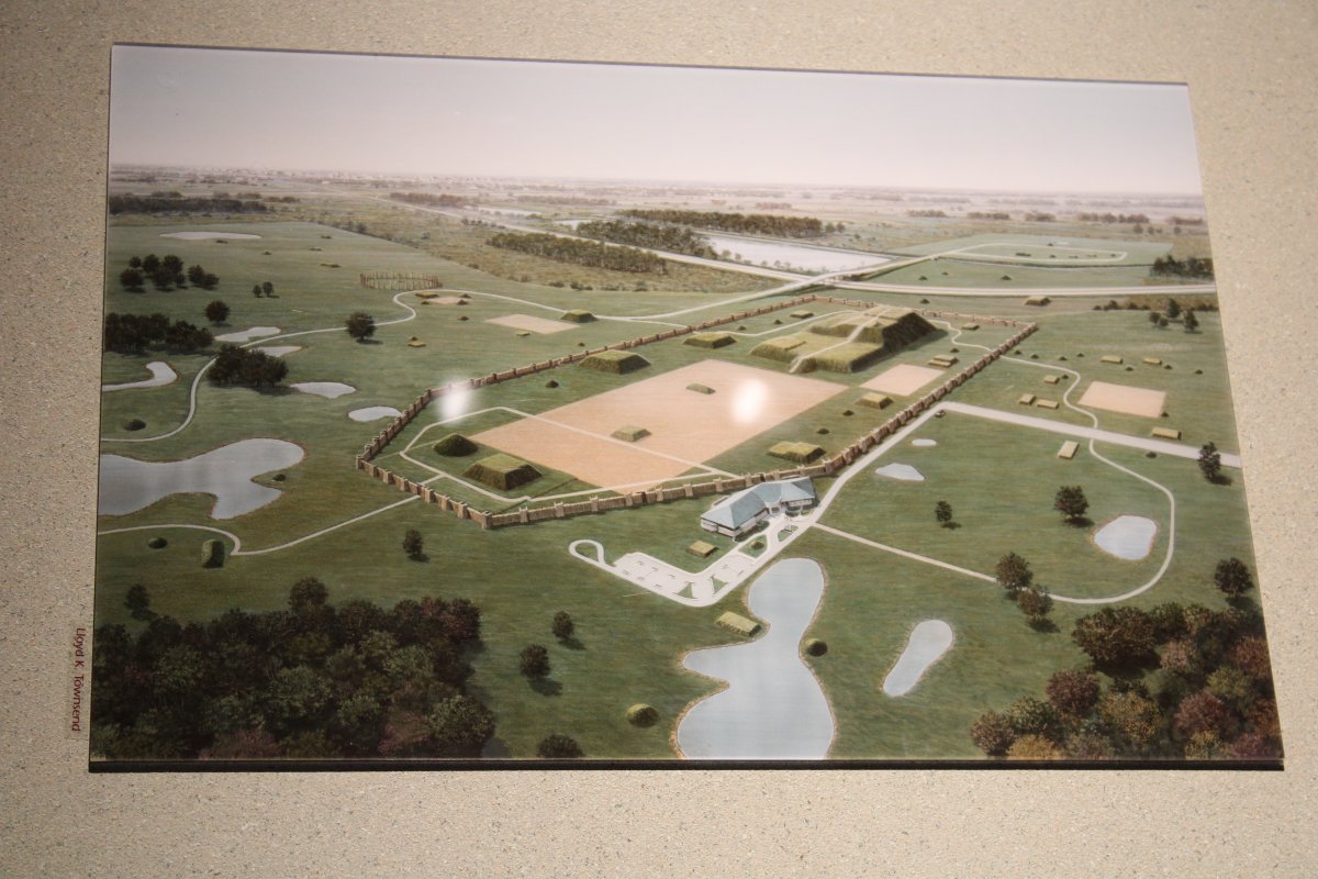
An artist conception of how things looked back in 1200AD (minus the Interpretive Center, parking lot and roads).
|
| |
 |
|
| Another look at the entire State Park. |
| |
 |
|
|
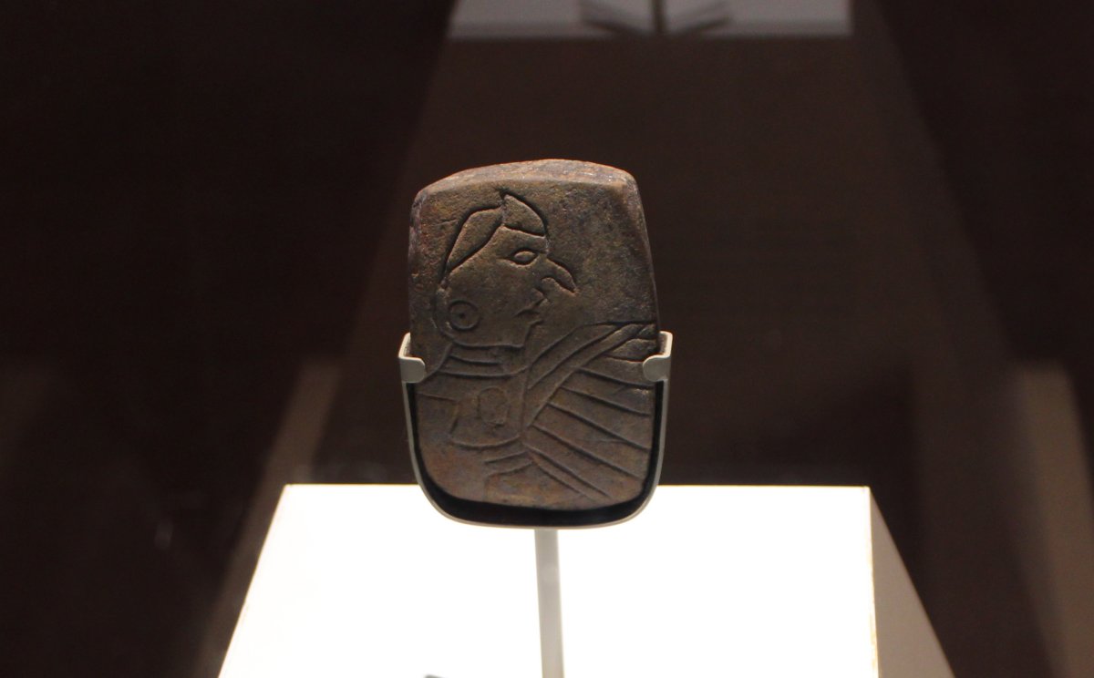
The Birdman Tablet, found in the Monks Mound area, and dated to AD 1300.
|
| |
 |
|
| Another large wall painting showing the Grand Plaza on the right, a few smaller mounds, the city wall (known as the Stockade or Palisade) with huts inside and out. |
| |
 |
|
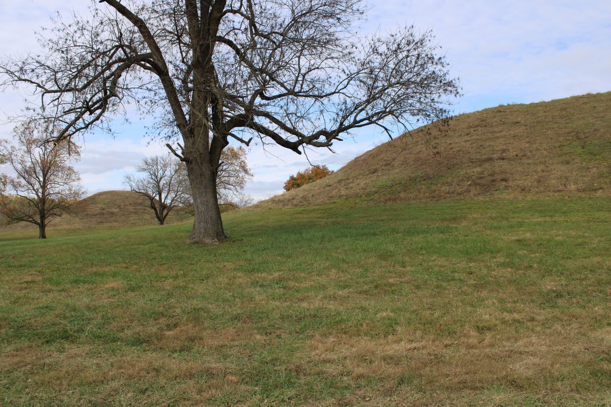
| We headed outside into a nice grassy area with good-size mounds all over the place. It was very peaceful. |
| |
 |
|
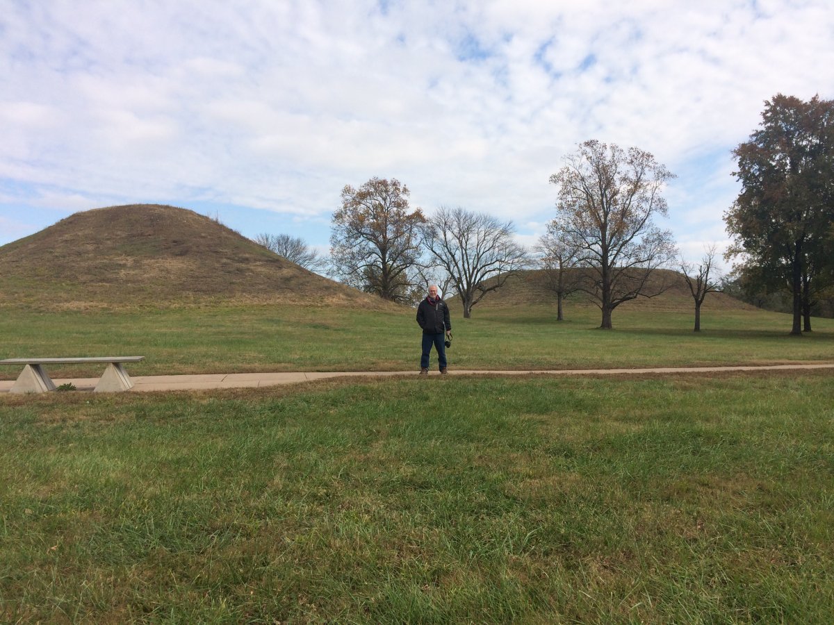
| Bill standing in front of the Twin Mounds. We went on the short "Tour Trail" but there is a 5.4 mile Nature/Culture trail and then a long 10 mile trail. |
| |
 |
|
|
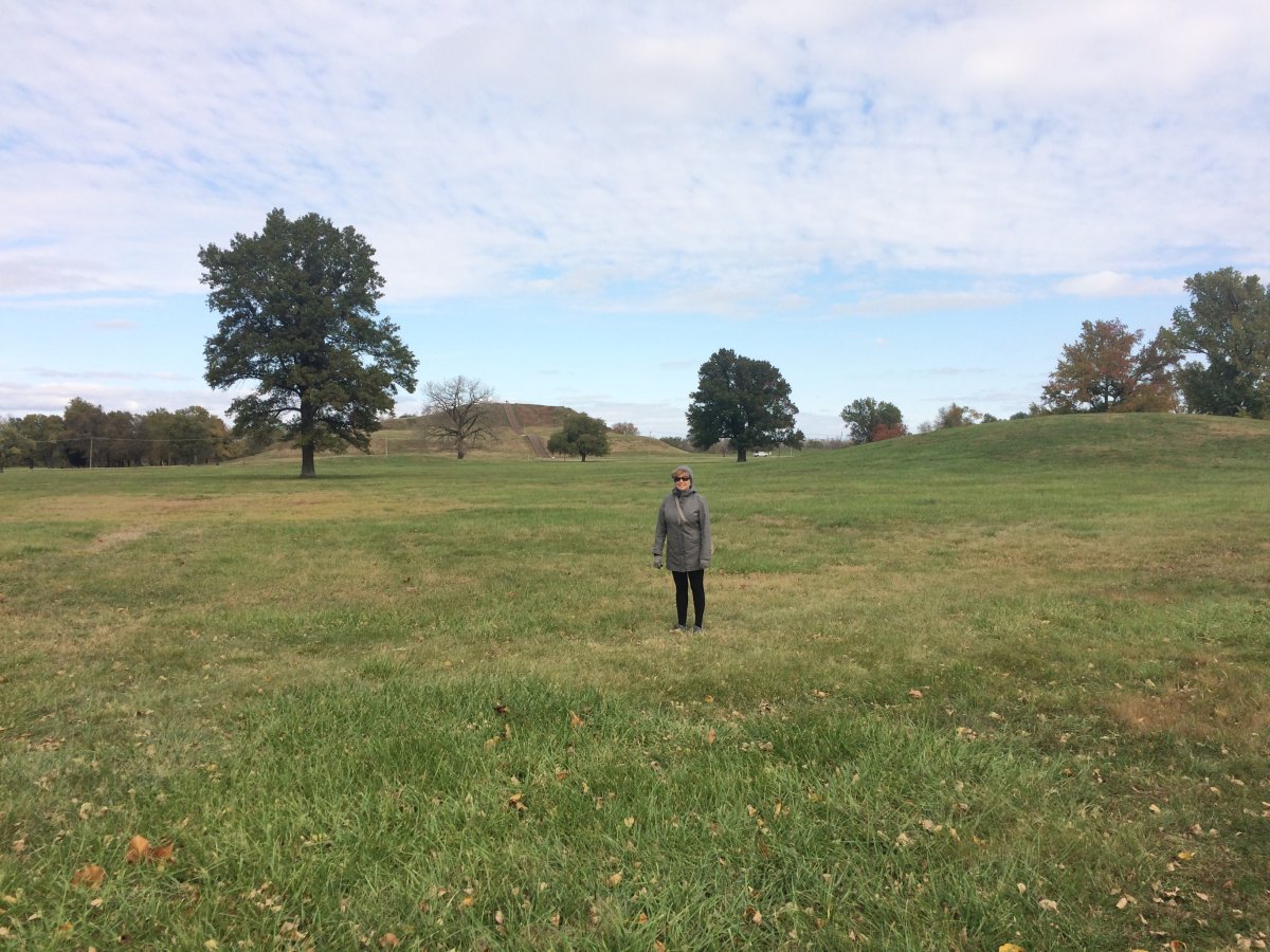
Lynnette standing where the Great Plaza was, with Monks Mound in the distance.
|
| |
 |
|
|
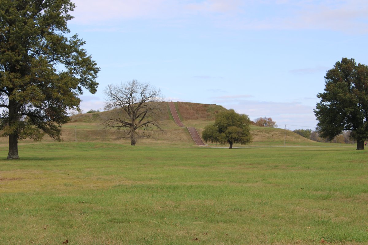
A closer look at Monks Mound.
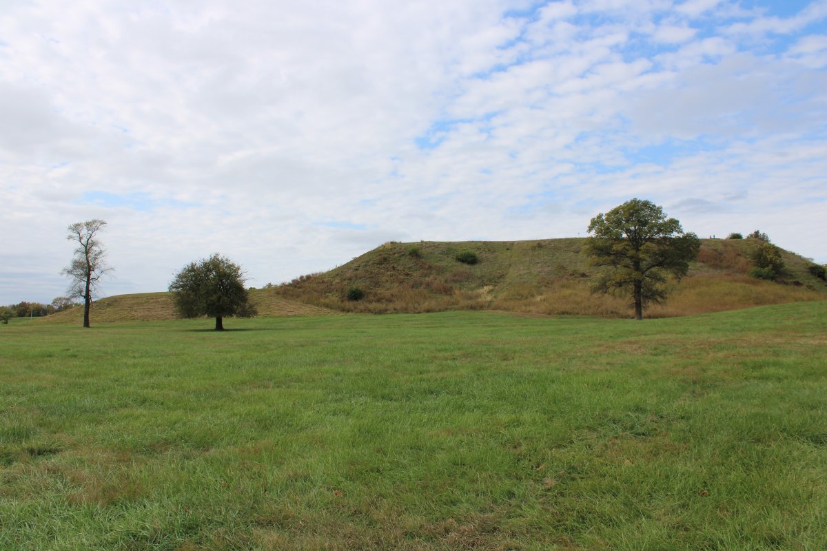
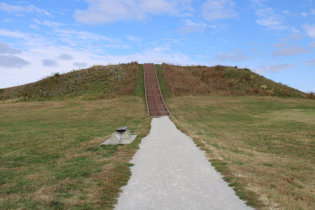
Monks Mound is the largest prehistoric earthen construction in the Americas, containing an estimated 22 million cubic feet of earth. The base covers more than 14 acrew, and it rises to a height of 100 feet. A massive building once stood on the summit where the principle chief would live, conduct ceremonies and govern. There are 156 stairs to the top of the mound.
|
| |
 |
|
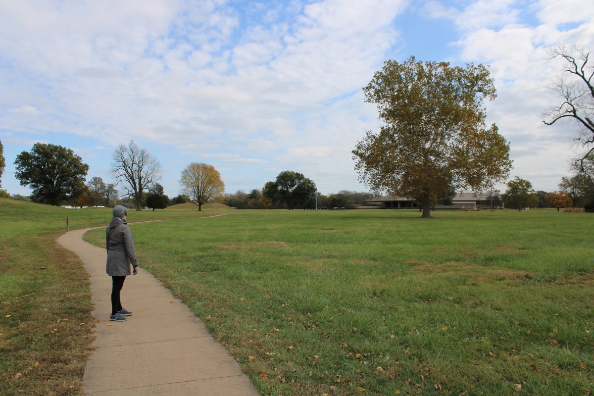
| Looking back at the Interpretive Center. |
| |
 |
|
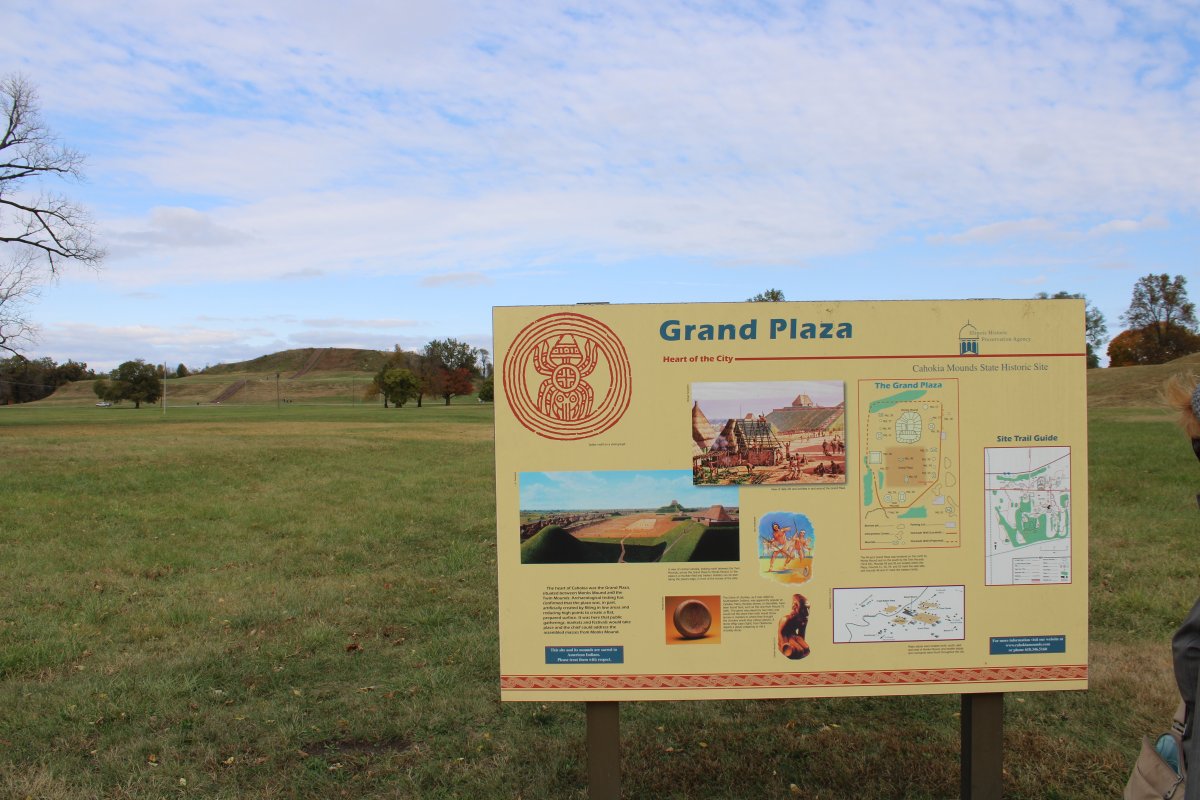
| The heart of Cahokia was the Grand Plaza. Archaeological testing has confirmed that the plaza was, in part, artificially created by filling in low areas and reducing high points to create an artificially flat, prepared surface. It was here that public gatherings, markets and festival would take place and the chief could address the assembled masses from Monks Mound. |
| |
 |
|
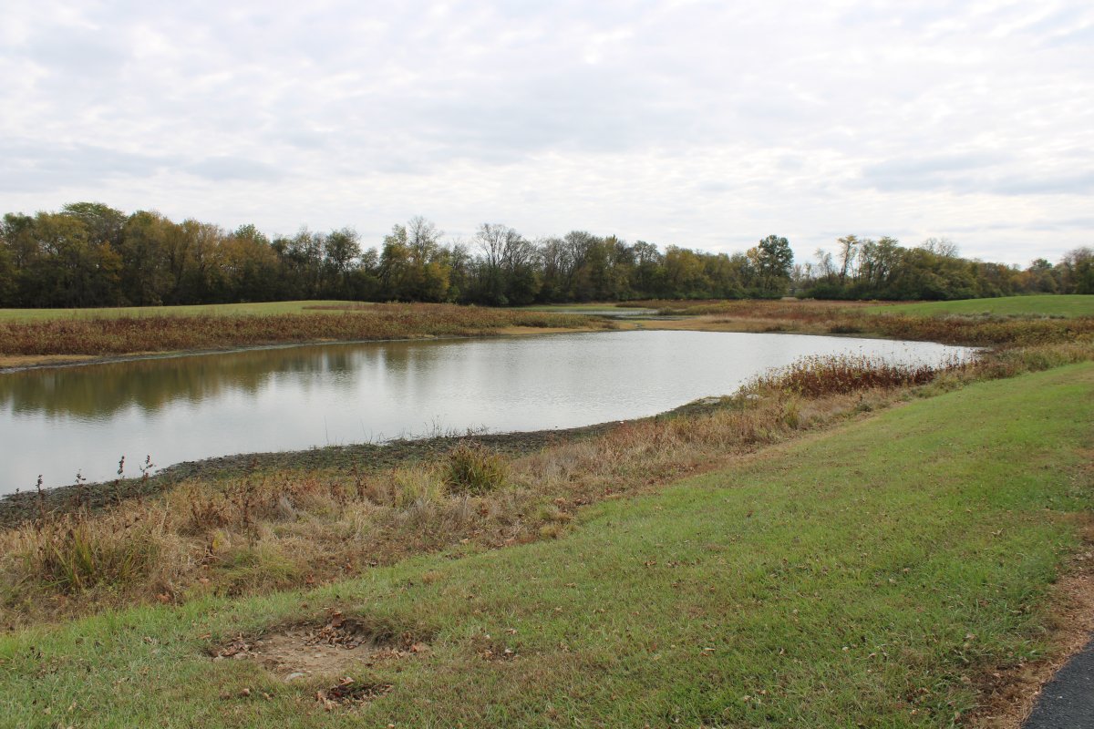
| Where did they get the dirt to build the mounds? From "borrow pits" like this one near the Interpretive Center, now a pond filled with water. The dirt was transported in baskets on people's backs. It is estimated that over 50 million cubic feet of earth was moved for mound construction. |
| |
 |
|
|
The side of Monks Mound.
|
| |
 |
|
|
Heading up Monks Mound.
|
| |
 |
|
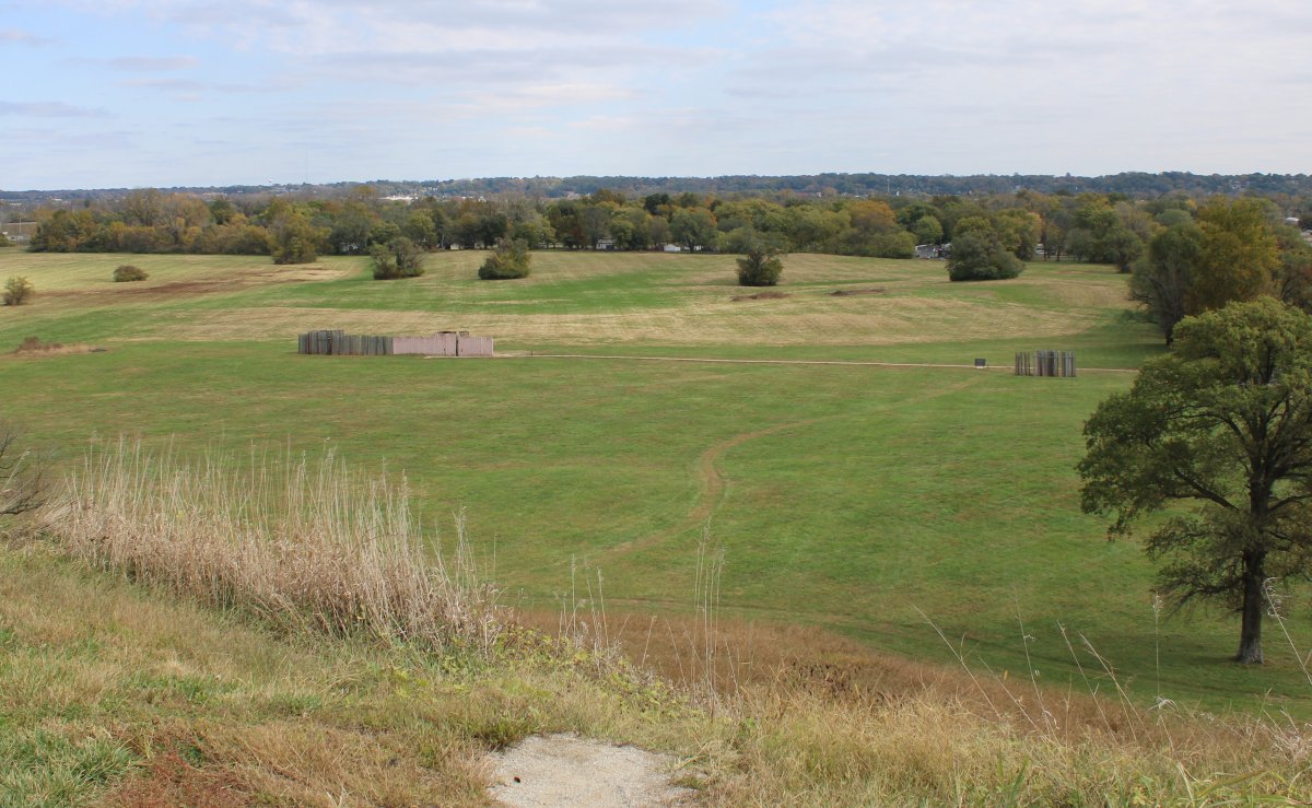
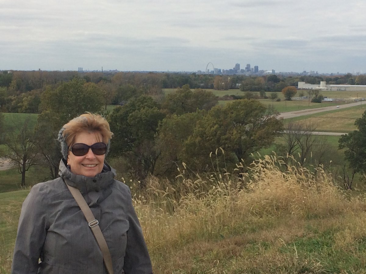
| The view is quite good from 100 feet up. Looking east, the city of St. Louis and the Arch is clearly visible. |
| |
 |
|
| ZZZ |
| |
 |
|
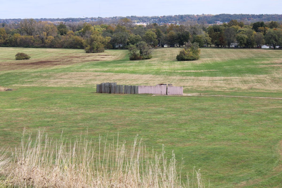
| Looking down at a replica example of a portion of the Stockade wall. |
| |
 |
|
|
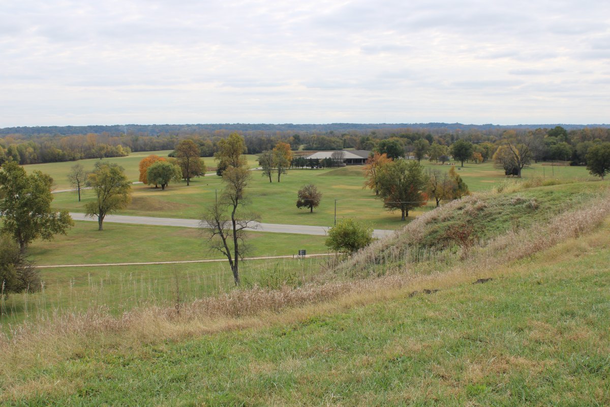
Looking down at the Great Plaza and Interpretative Center.
|
| |
 |
|
| Yay, St. Louis! |
| |
 |
|
|
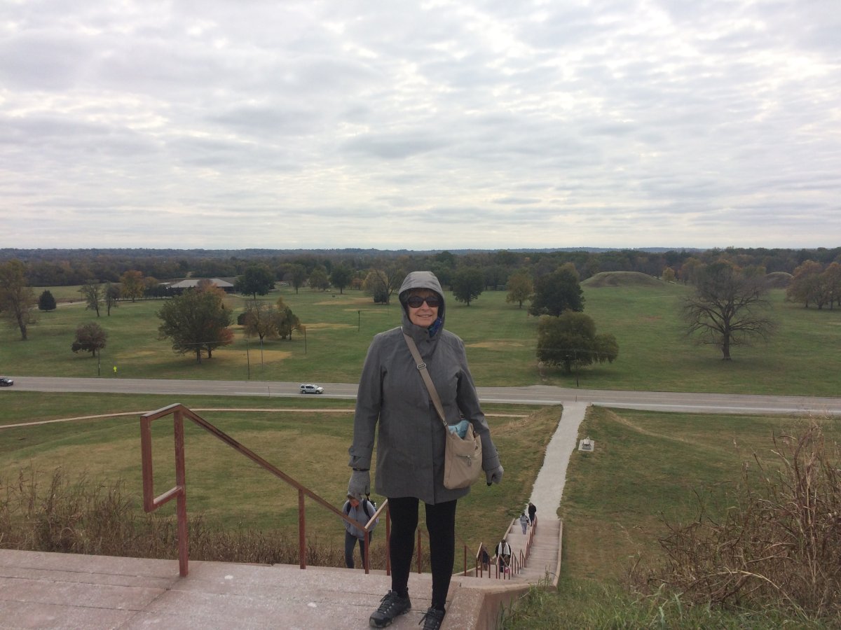
Grand Plaza with the Twin Mounds on the right.
|
| |
 |
|
|
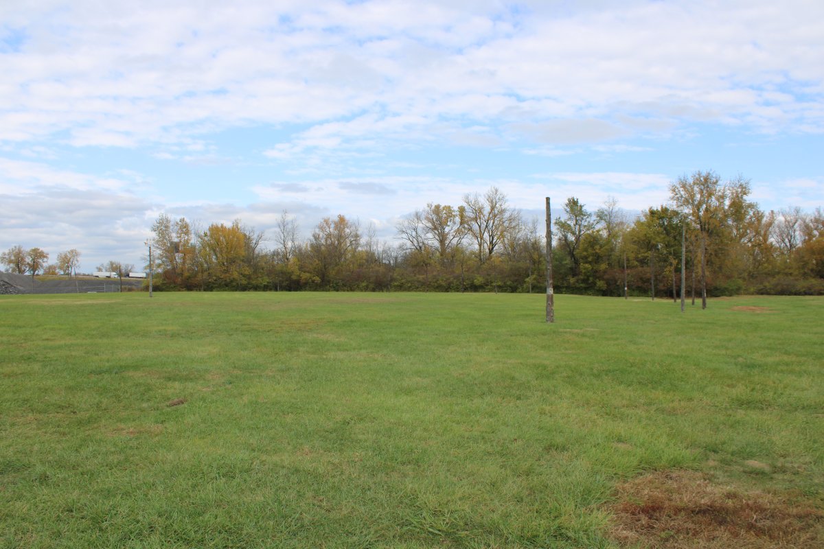
The Cahokians also had something called "Woodhenge"; i.e. a circle of wood poles. This reconstructed Woodhenge has a central post and 49 evenly spaced perimeter posts. It was used to determine the changing seasons and ceremonical dates.
I think they have done an outstanding job of preserving and presenting this historical site, and recommend Cahokia to anyone visiting the St. Louis area.
|
| |
 |
|
|
I think they have done an outstanding job of preserving and presenting this historical site, and recommend Cahokia to anyone visiting the St. Louis area.
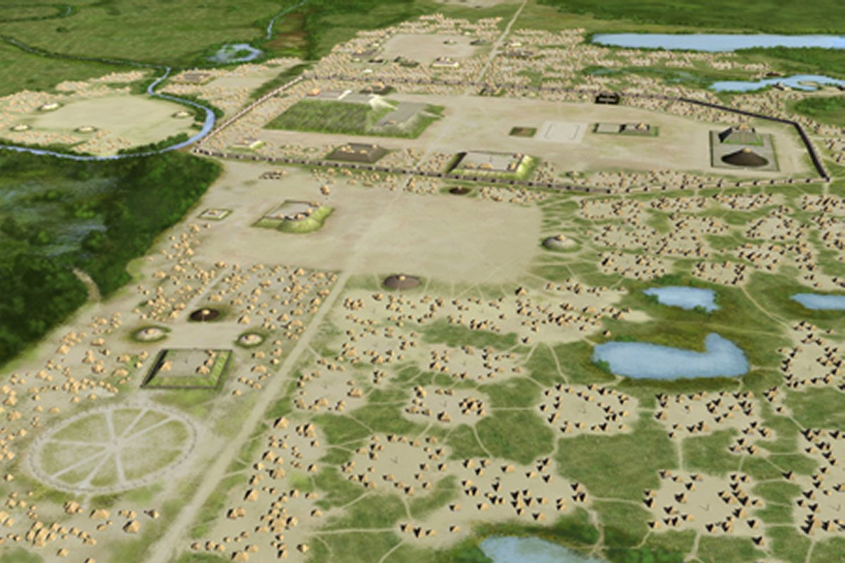
Artist Herb Roe's recreation of central Cahokia.
|
| |
 |
|
| |
| |
|
|
|
|
|
|


