Florida Vacay - Flight Home Part IV - April 2019
|
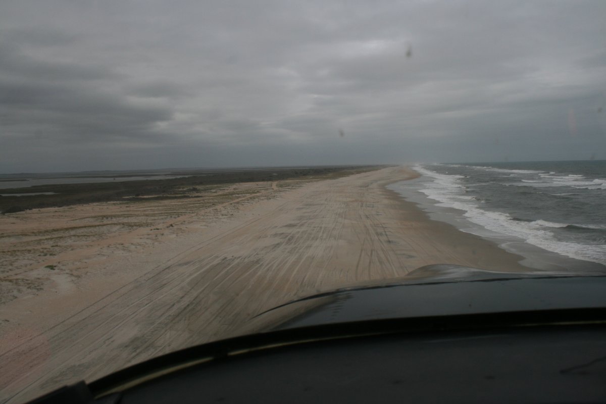
| Now I am heading northeast up the Core Banks. |
| |
 |
|
|
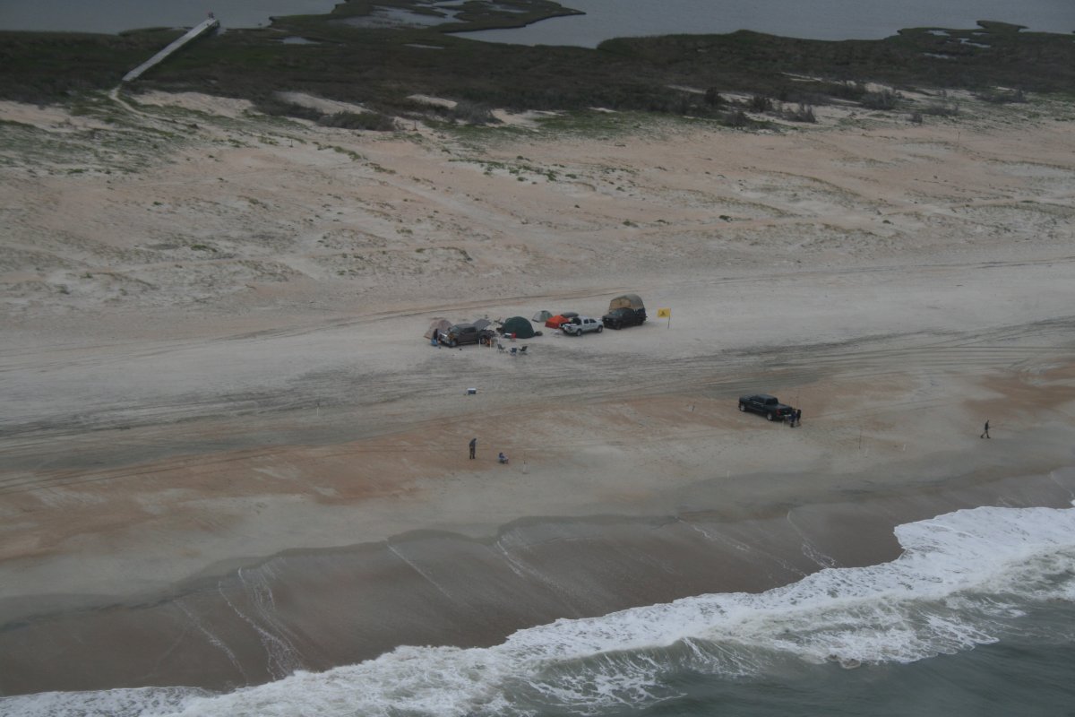
More campers on the beach.
|
| |
 |
|
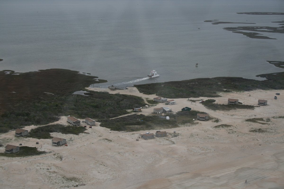
| I'm guessing the vehicles get over here on ferries, like the below. Looks like these are permanent cabins, maybe available for rentals? |
| |
 |
|
|
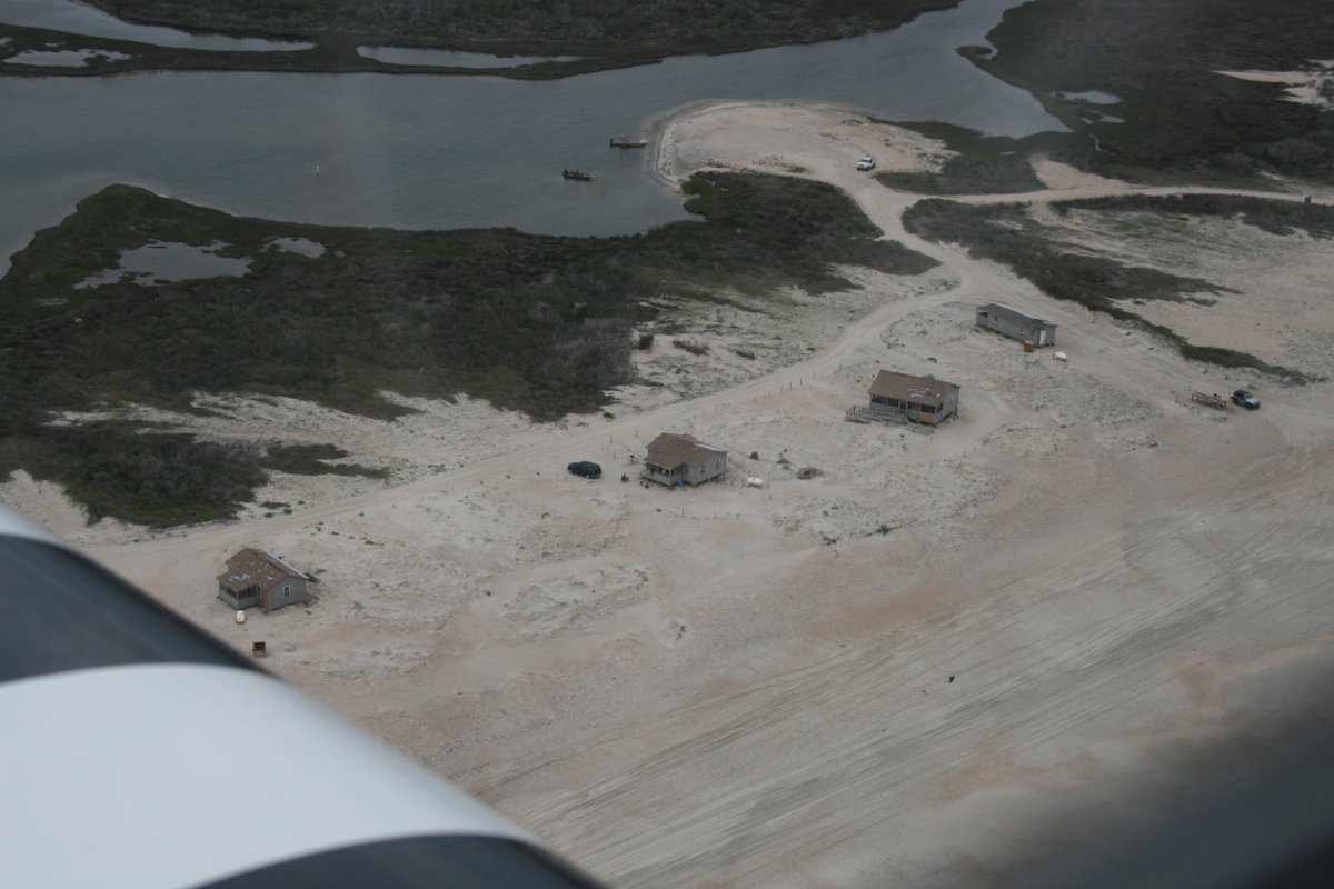
A closer look. Glamping? I don't think so.
|
| |
 |
|
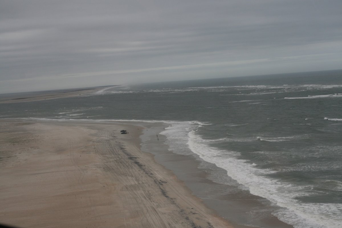
| The surf is angry today. |
| |
 |
|
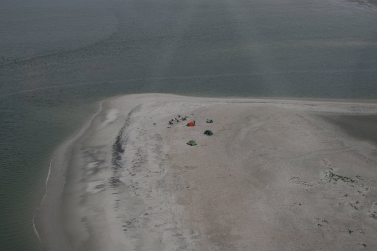
| Solitude. |
| |
 |
|
| |
| |
 |
|
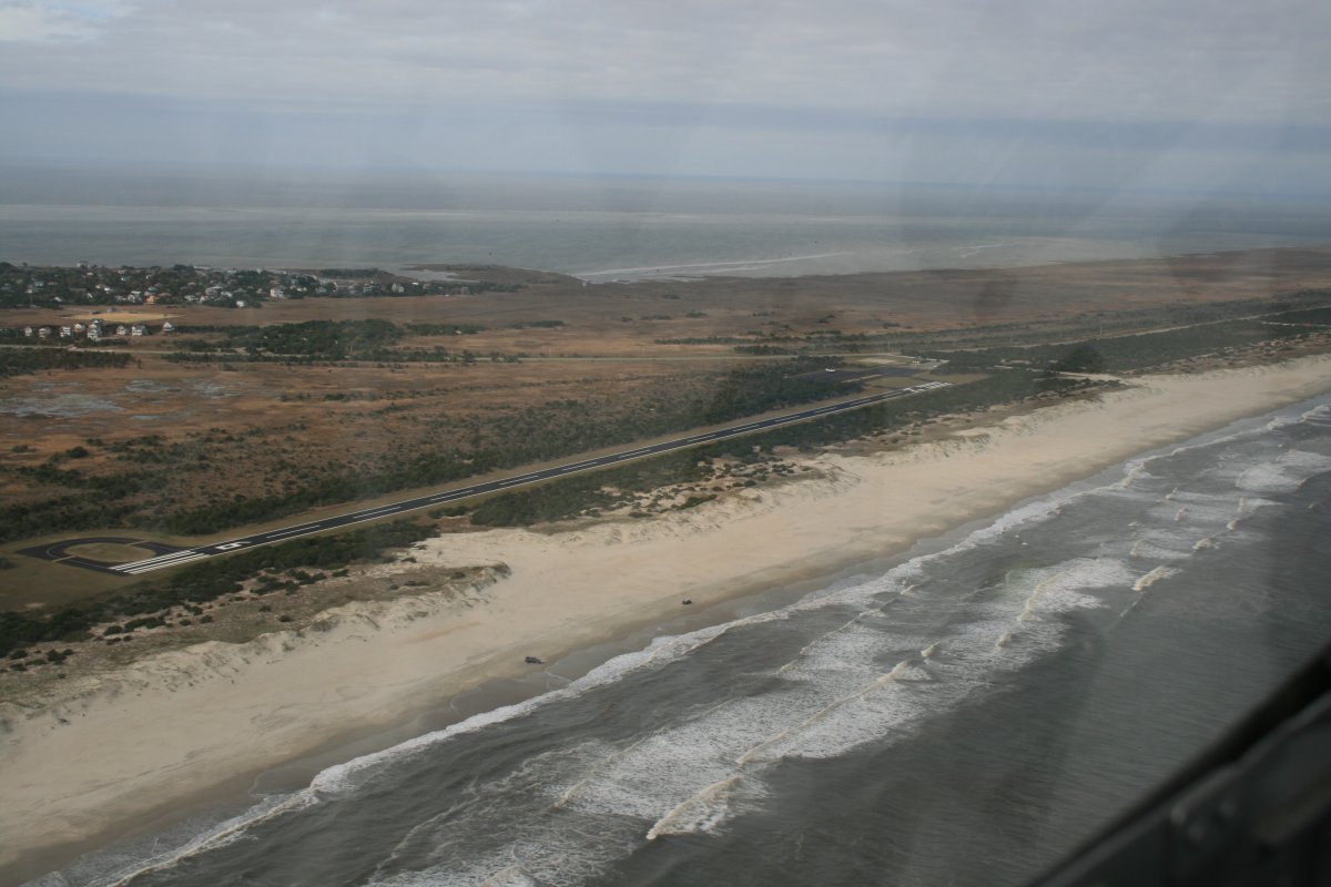
Then I came to Ocracoke Airport (W95). Lynnette and I spent a weekend here back in June 2012 (I can't believe it has been seven years already. Frown). |
| |
 |
|
|
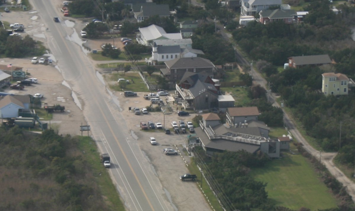
Looking down at Howard's Pub at Ocracoke.
I didn't have enough time to continue following the coast if I wanted to land during daylight, so I turned north and flew across Pamlico Sound.
|
| |
 |
|
|
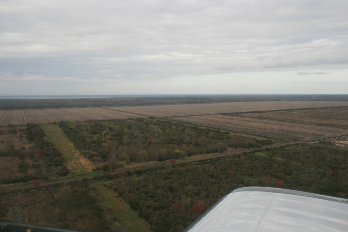
Once I reached land, I continued north, but I had to be careful to remain clear of some restricted airspace. I had never flown this area before. It was mostly farmland, forest or marsh. Very few signs of civilization.
|
| |
 |
|
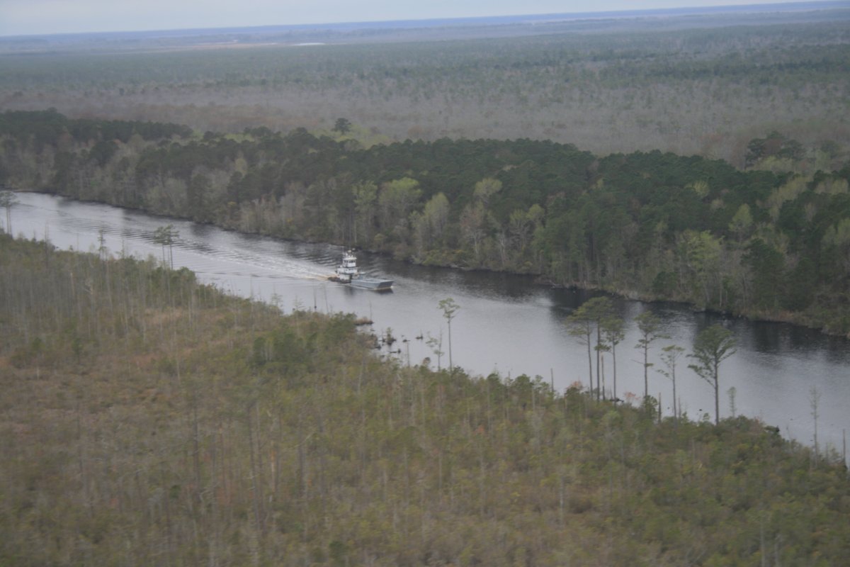
| A tugboat pushes a barge up a canal through the forest. |
| |
 |
|
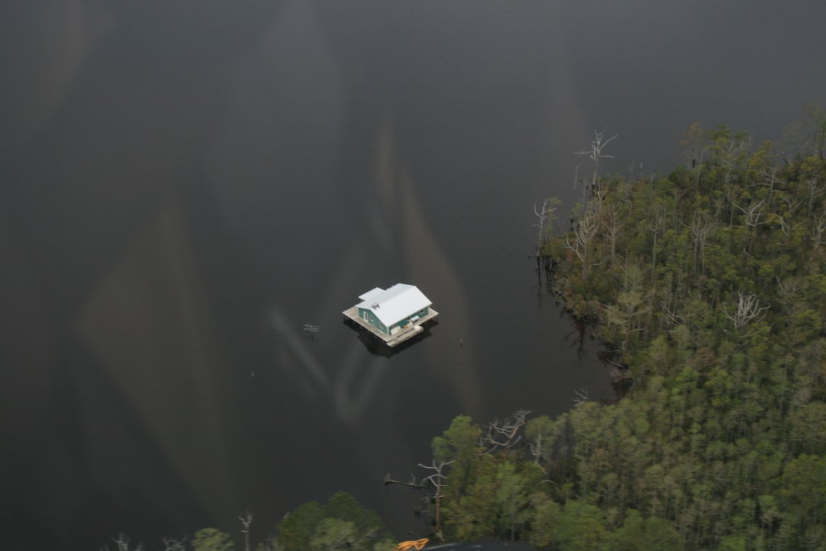
| A house on a floating platform in the middle of nowhere. I bet the fishing is good. |
| |
 |
|
|
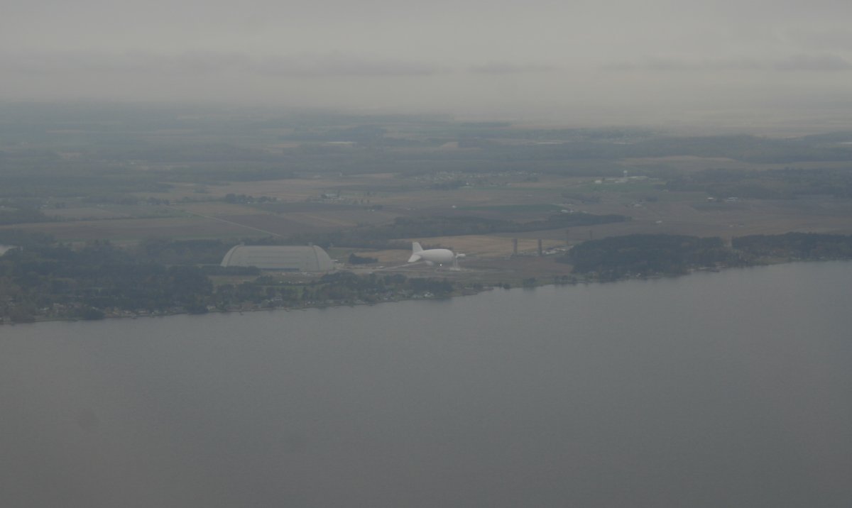
Passing by the old Weeksville Naval Air Station which is now a production and test facility for the aerostat manufacturing company, TCOM Corporation. It is also an active airfield for lighter-than-air aircraft operations. I was surprised to see an airship hangar like the one at Moffett Field, California, and the remnants of another blimp hangar.
The towered Elizabeth City Coast Guard Air Station/Regional Airport is just a few miles to the right up the river. I should land there someday.
|
| |
 |
|
|
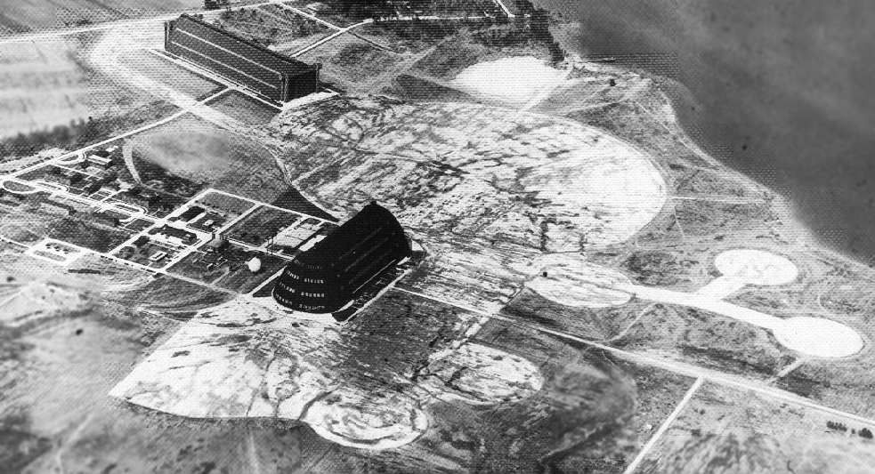
From Wikipedia, a icture of Weeksville Naval Air Station back in the day, in its prime. Yes, those are the same type of hangars that Moffett Field has.
|
| |
 |
|
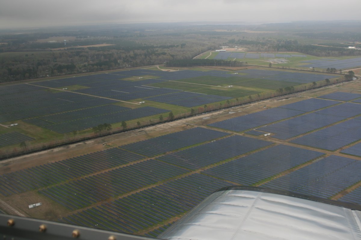
Passing by a huge array of solar panel array. I hoped Nautilus Solar built it! |
| |
 |
|
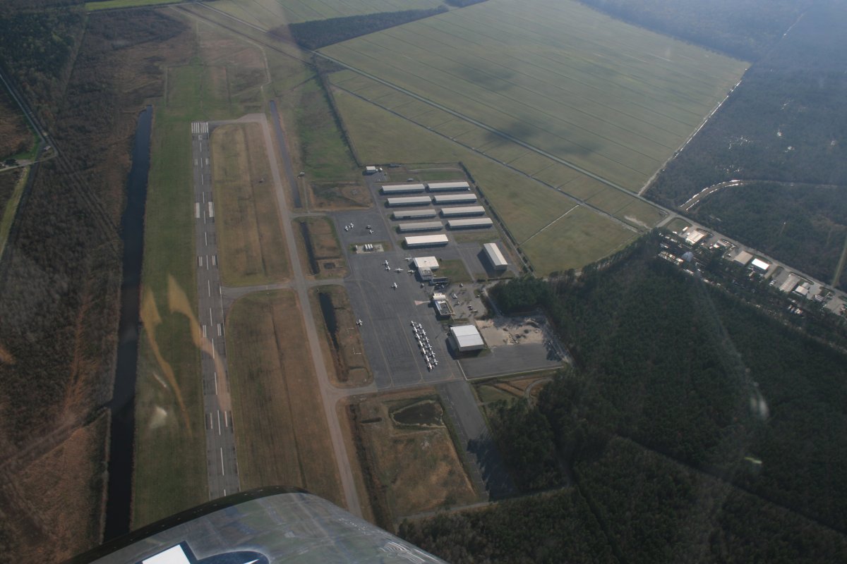
| Overhead Chesapeake Regional Airport (KCPK). I flew the Citabria down here and stayed overnight back in March 2007. |
| |
 |
|
|
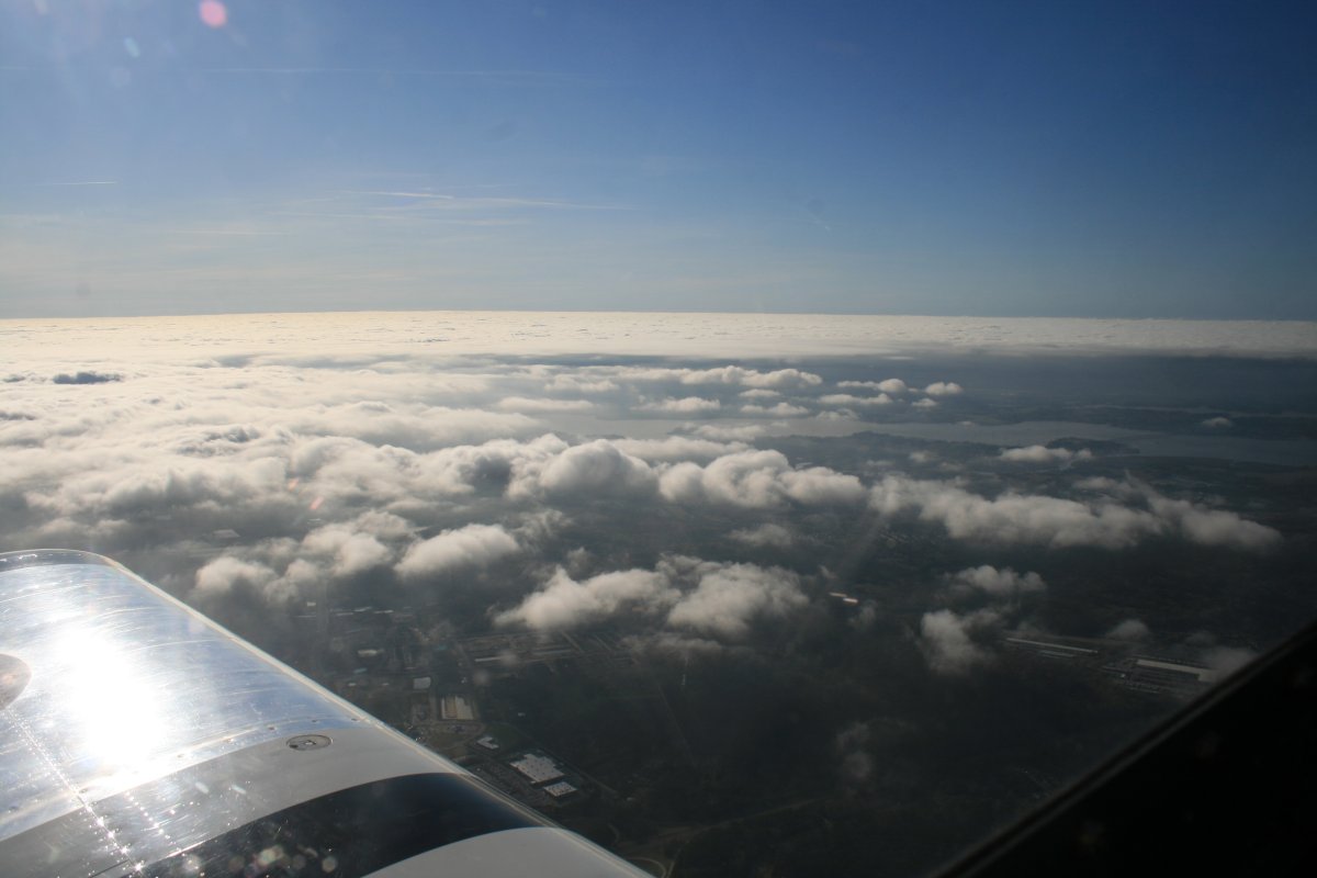
I climbed up to get over all the airspace in the Norfolk area. It was pretty. The sun really lit up the broken layer.
|
| |
 |
|
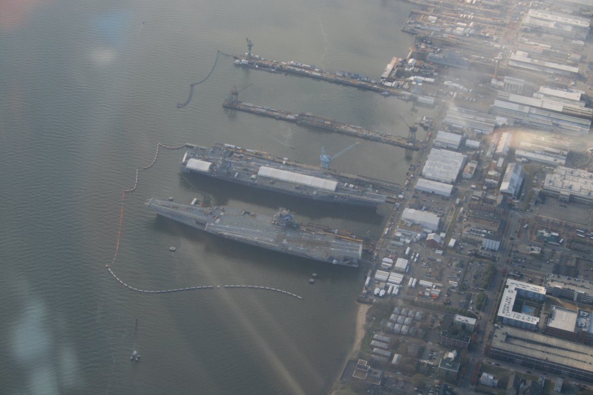
| Looking down at Newport News Shipbuilding Yard. I'm guessing at bottom is the USS George Washington which is undergoing a four-year complex overhaul. I'm guessing the aircraft carrier at top is the new USS John F. Kennedy, the second of the Gerald R. Ford-class carriers. From 5,000 feet its hard to tell. |
| |
 |
|
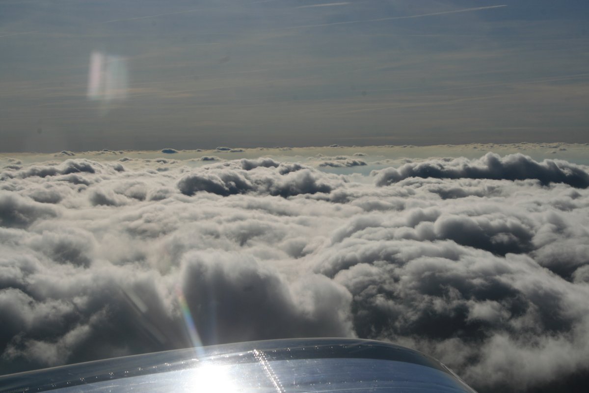
| More clouds. |
| |
 |
|
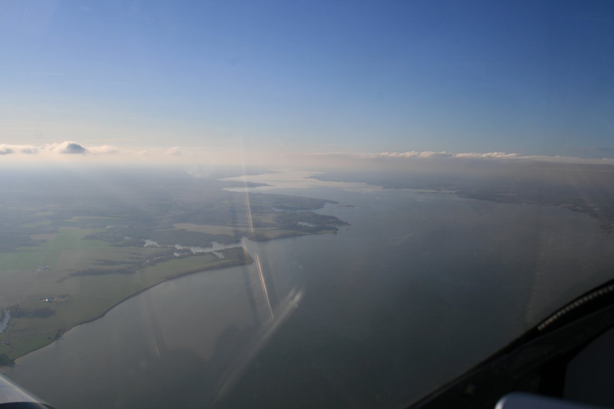
| And then they were gone, as I cross the Potomac River heading for St. Marys. |
| |
 |
|
|
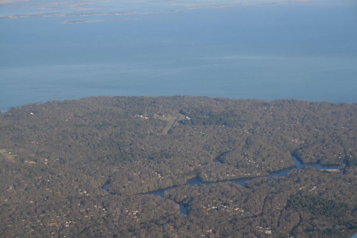
Looking down at little Chesapeake Ranch Airport, another airport community.
|
| |
 |
|
|
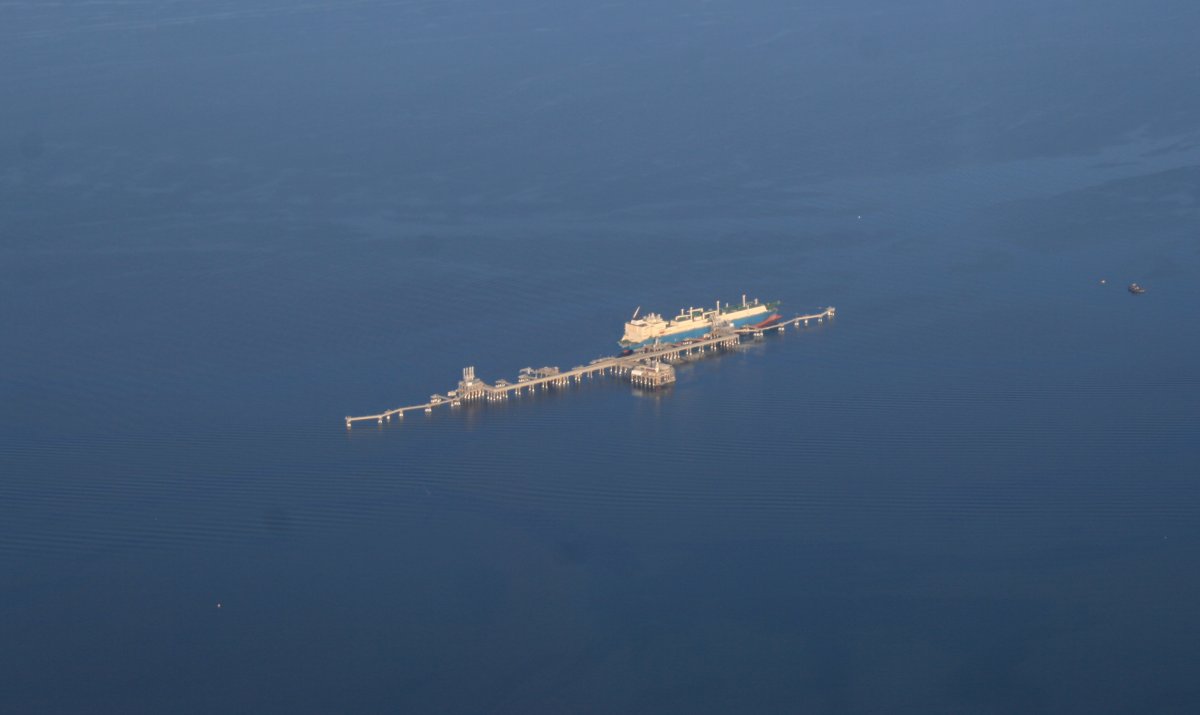
I've flown by this offshore dock a million times but this is the first time I've seen a tanker tied up to it. I'm guessing there is an underground pipeline to the Dominion Energy complex on nearby Cove Point.
|
| |
 |
|
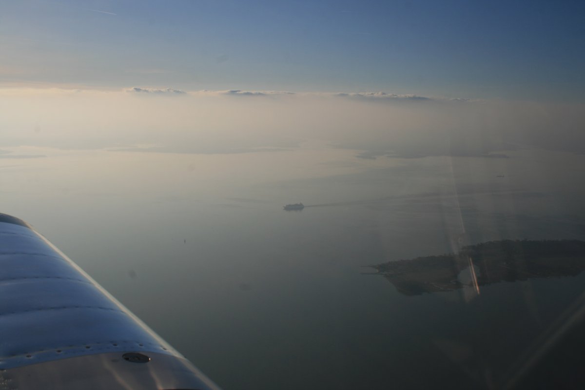
| As I cruise up the Eastern Shore, a Carnival Cruiseboat cruises down the Chesapeake Bay. |
| |
 |
|
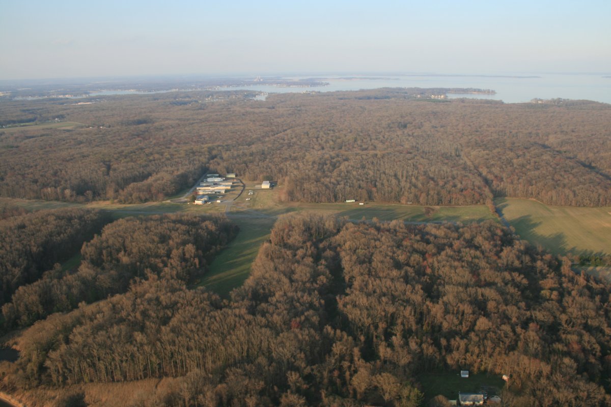
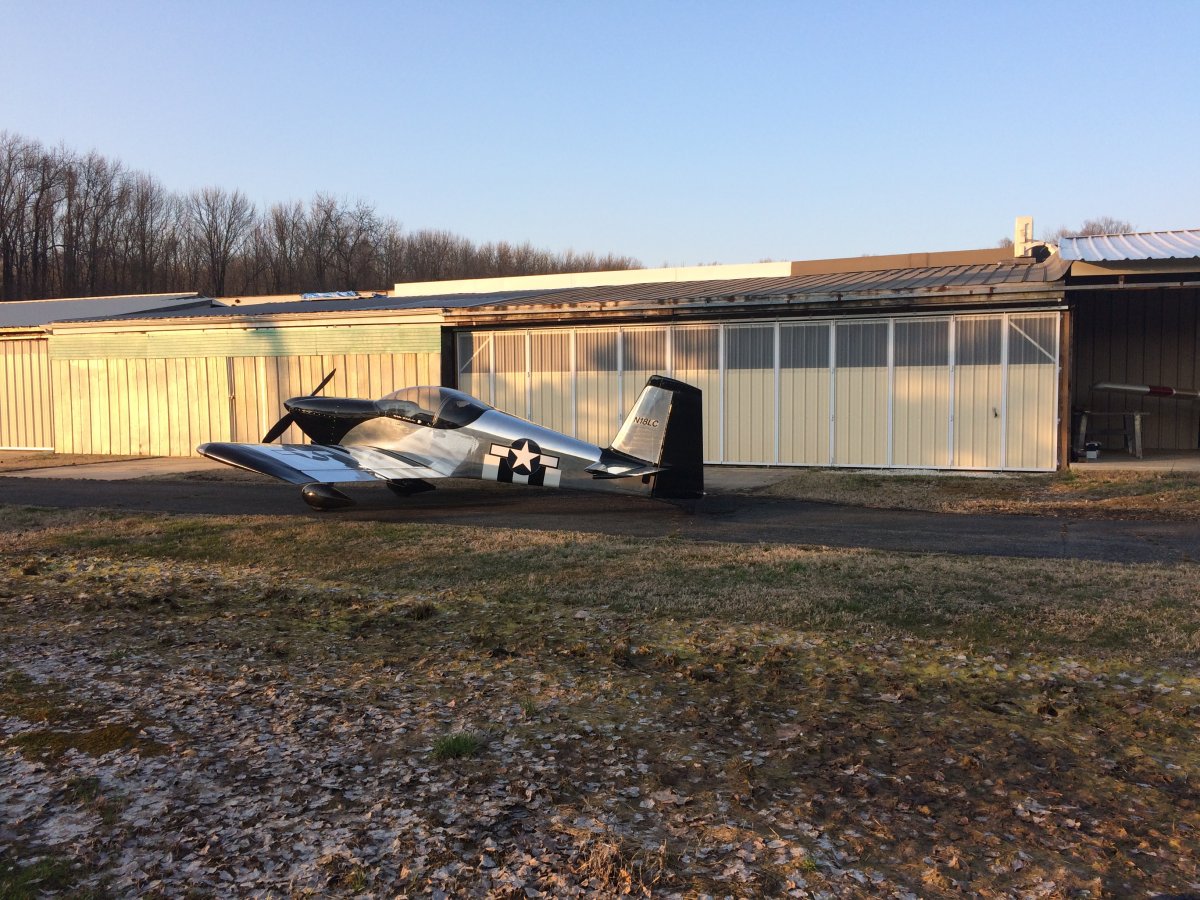
| I made it. Almost nine hours of flying today and it went by fast because it was so fun. I don't think I was ever bored the entire way. |
| |
 |
|
| Well done, my friend, well done. |
| |
 |
|
| |
| |
|
|
|
|
|
|


