Day 8 - Lake Powell/Glen Canyon
|
|
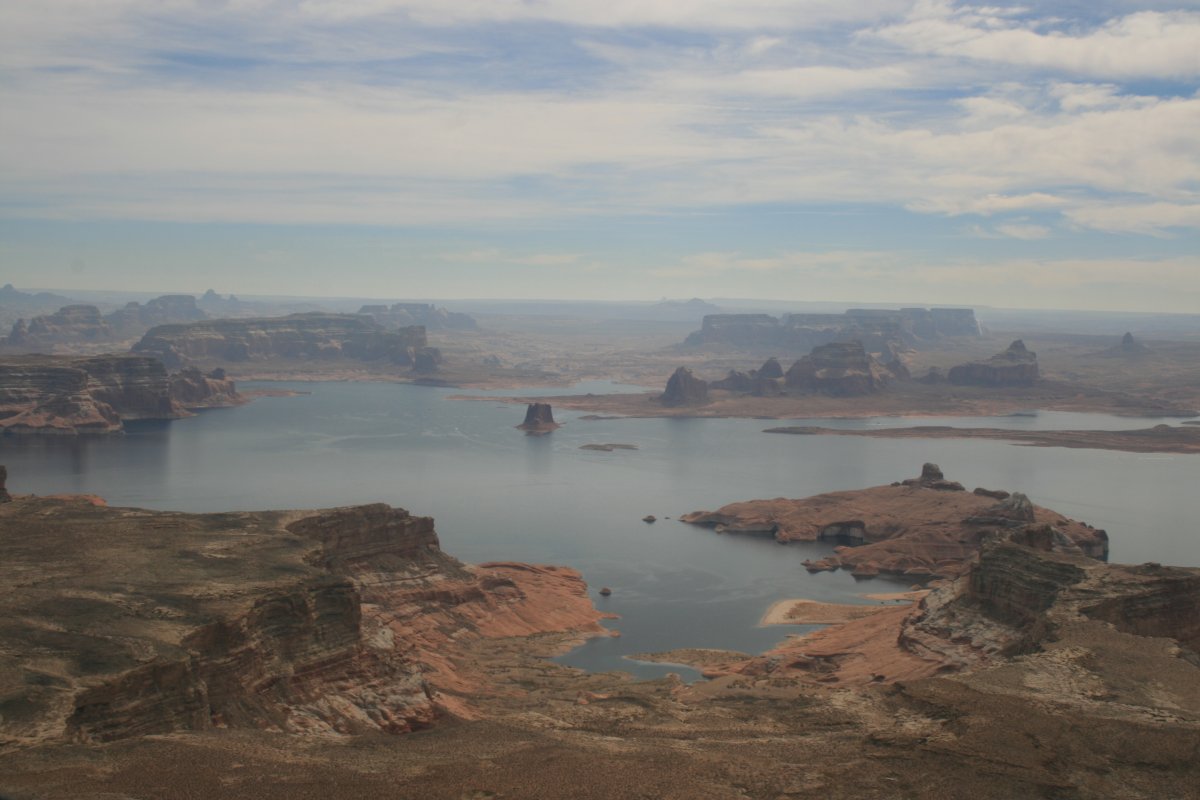
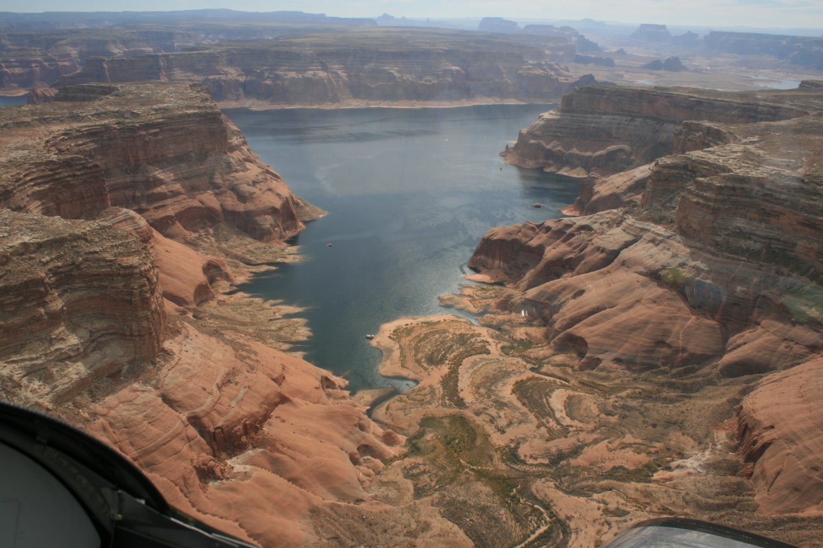
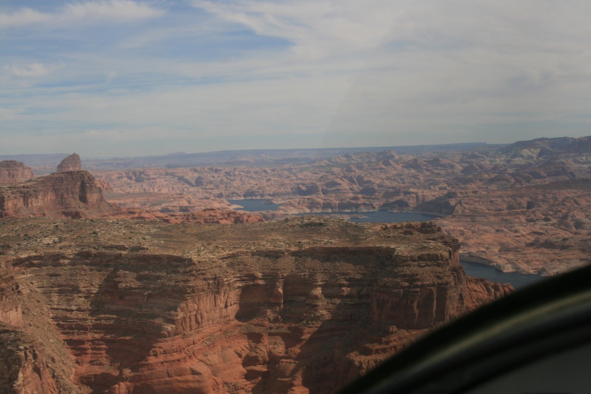
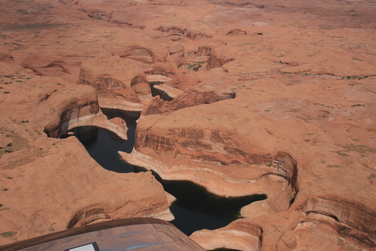
Heading east I soon came to Lake Powell.
|
| |
 |
|
|
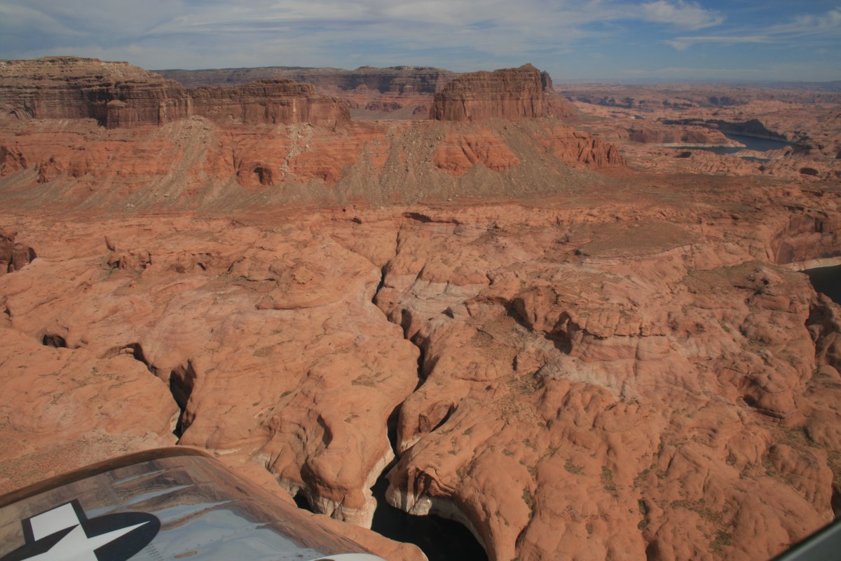
Then I turned north and cruised up the western side.
|
| |
 |
|
| Lake Powell is the second-largest man-made reservoir in the U.S., behind only Lake Mead. Obviously Lake Powell is named after John Wesley Powell who played so prominent a role in exploring the Green and Colorado Rivers. Basically a deal was struck in the early 1950s, in return for not building a dam at Echo Park in Dinosaur Natrional Monument, the Glen Canyon dam could be built just north of Lee's Ferry. The one condition was that the Natural Bridge must remain above water. And so it was done, and now most of Glen Canyon is underwater. But we still have the Dinosaur National Monument and Grand Canyons; and Lake Powell is still awesome for boating with lots of side canyons. My feeling is there are so many canyons around here already, plus the Lake itself is very scenic, plus the recreation opportunities the Lake brings, plus the water and power the lake provides: all good things. So, who knows? |
| |
 |
|
| |
| |
 |
|
| |
| |
 |
|
|
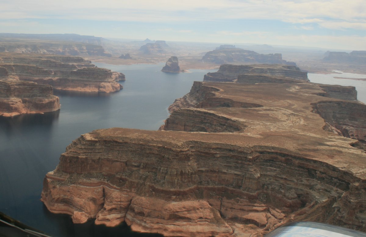
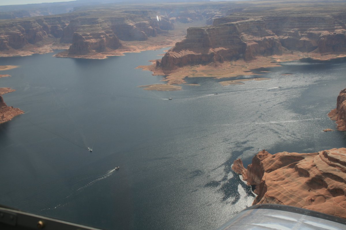
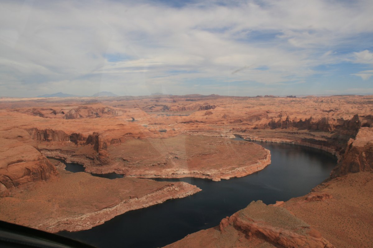
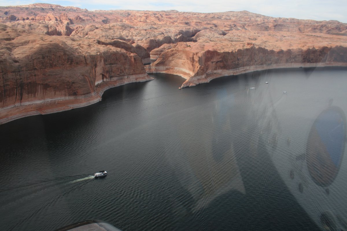
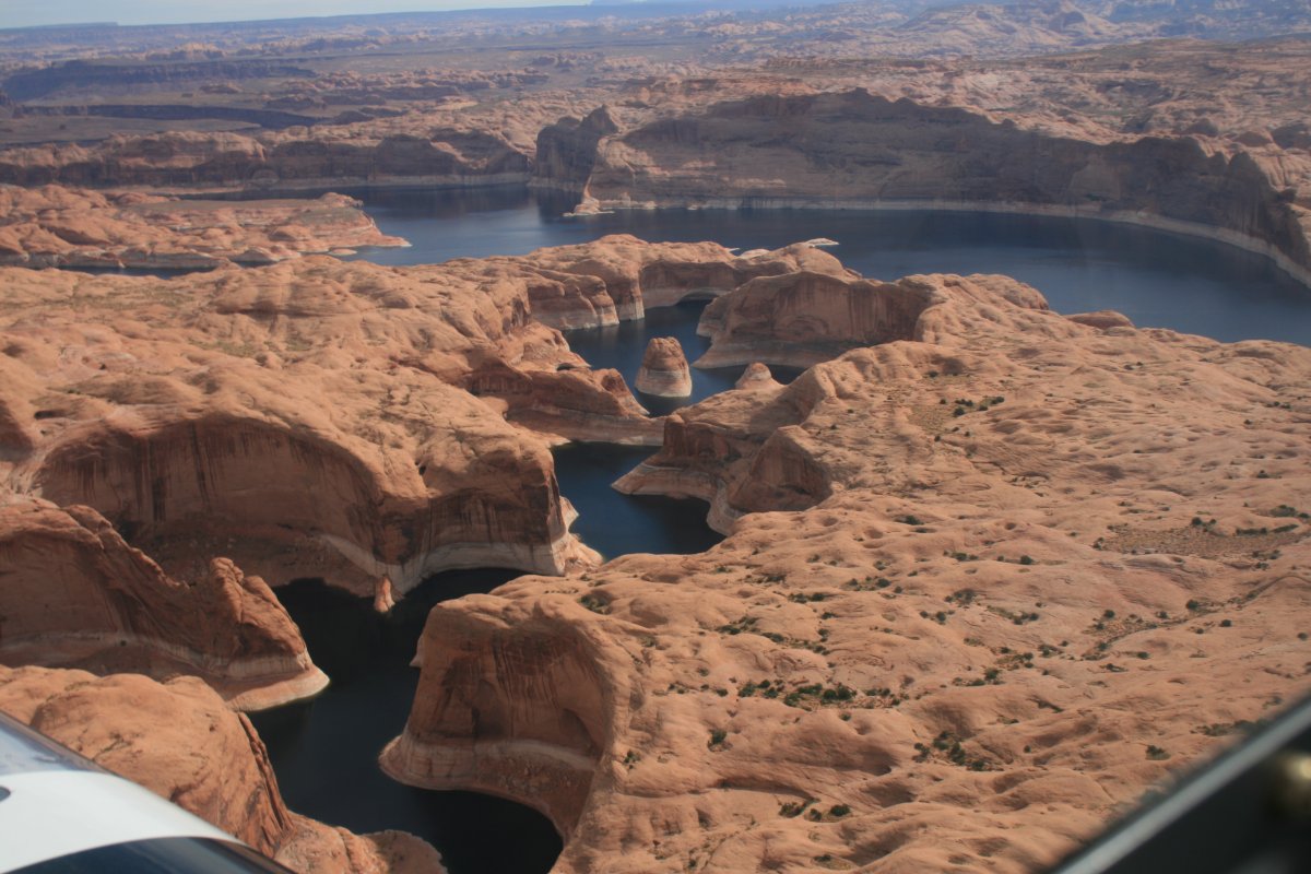
Lake Powell is a great area for boating.
|
| |
 |
|
| |
| |
 |
|
|
|
| |
 |
|
| |
| |
 |
|
| |
| |
 |
|
| |
| |
 |
|
|
|
| |
 |
|
| |
| |
 |
|
|
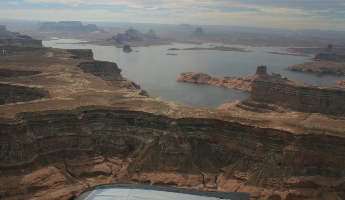
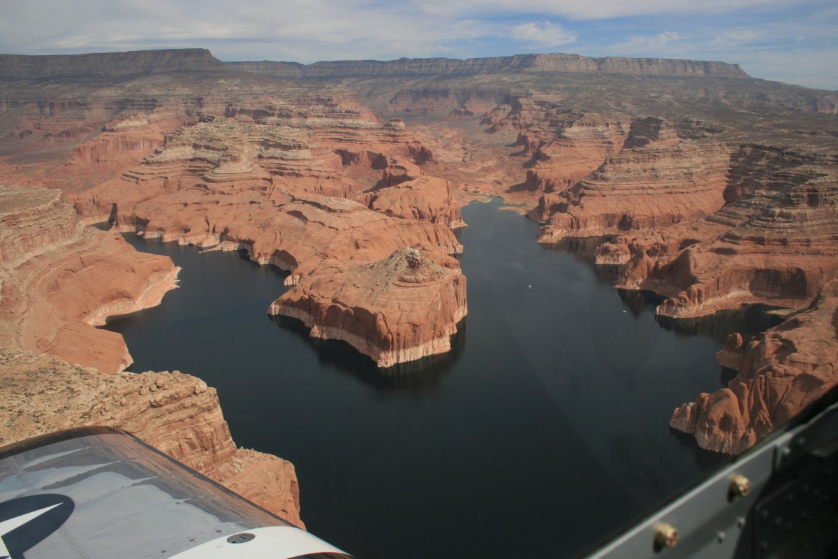
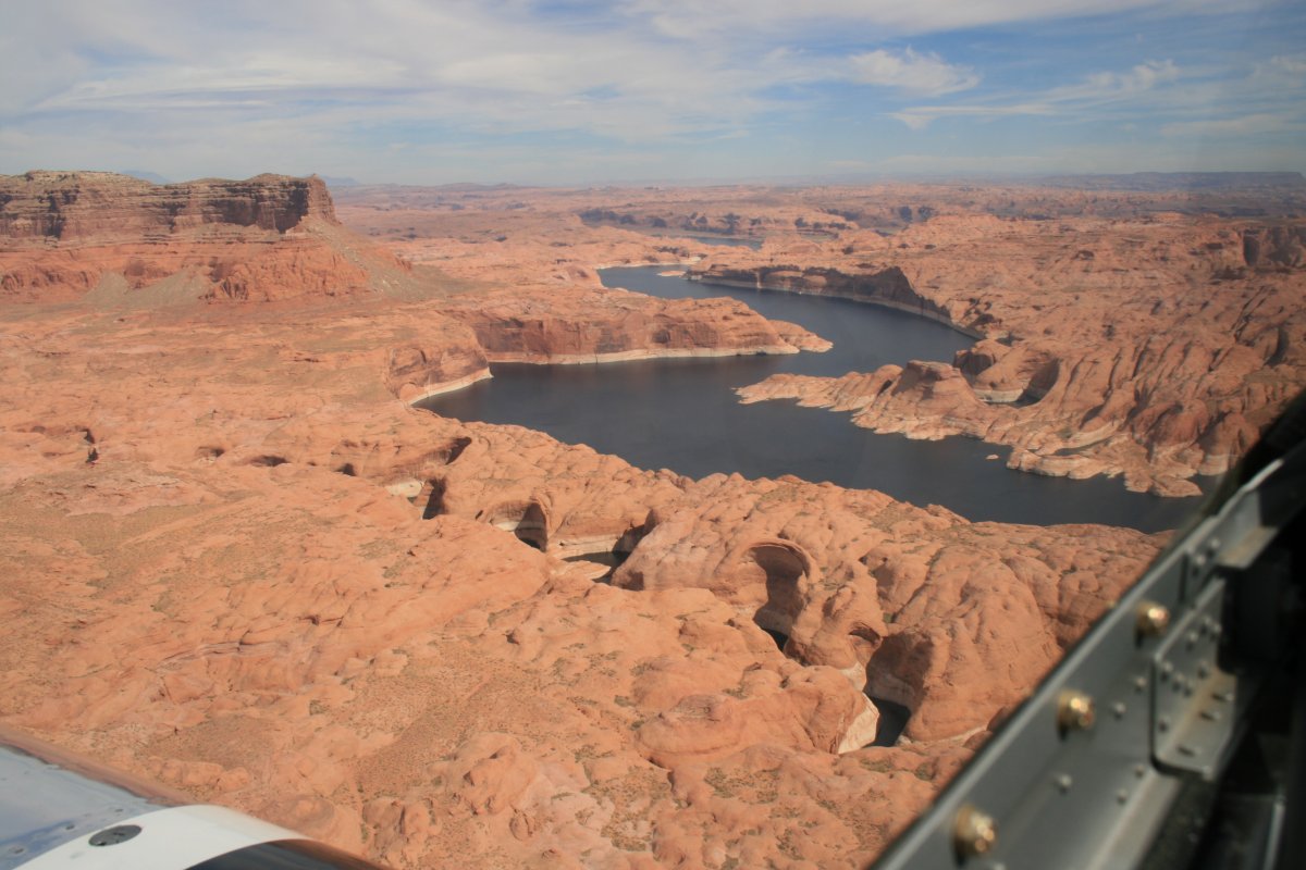
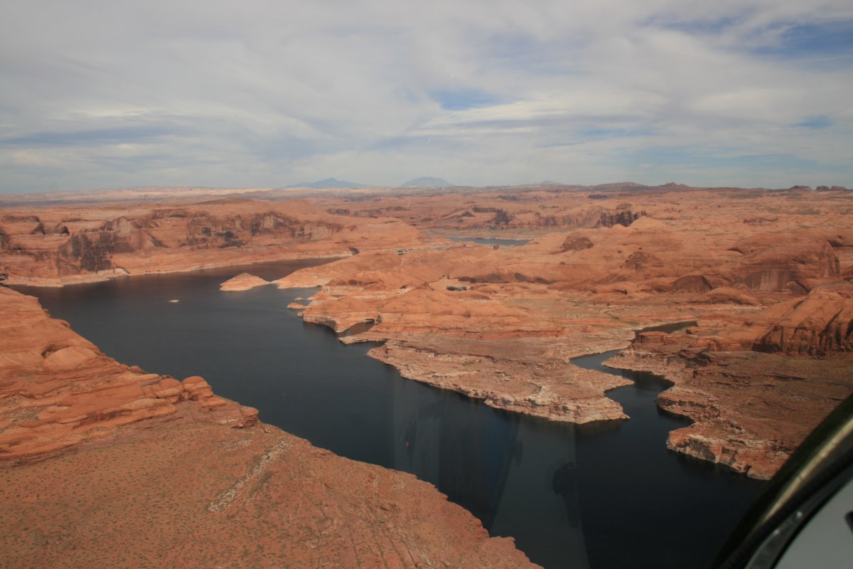
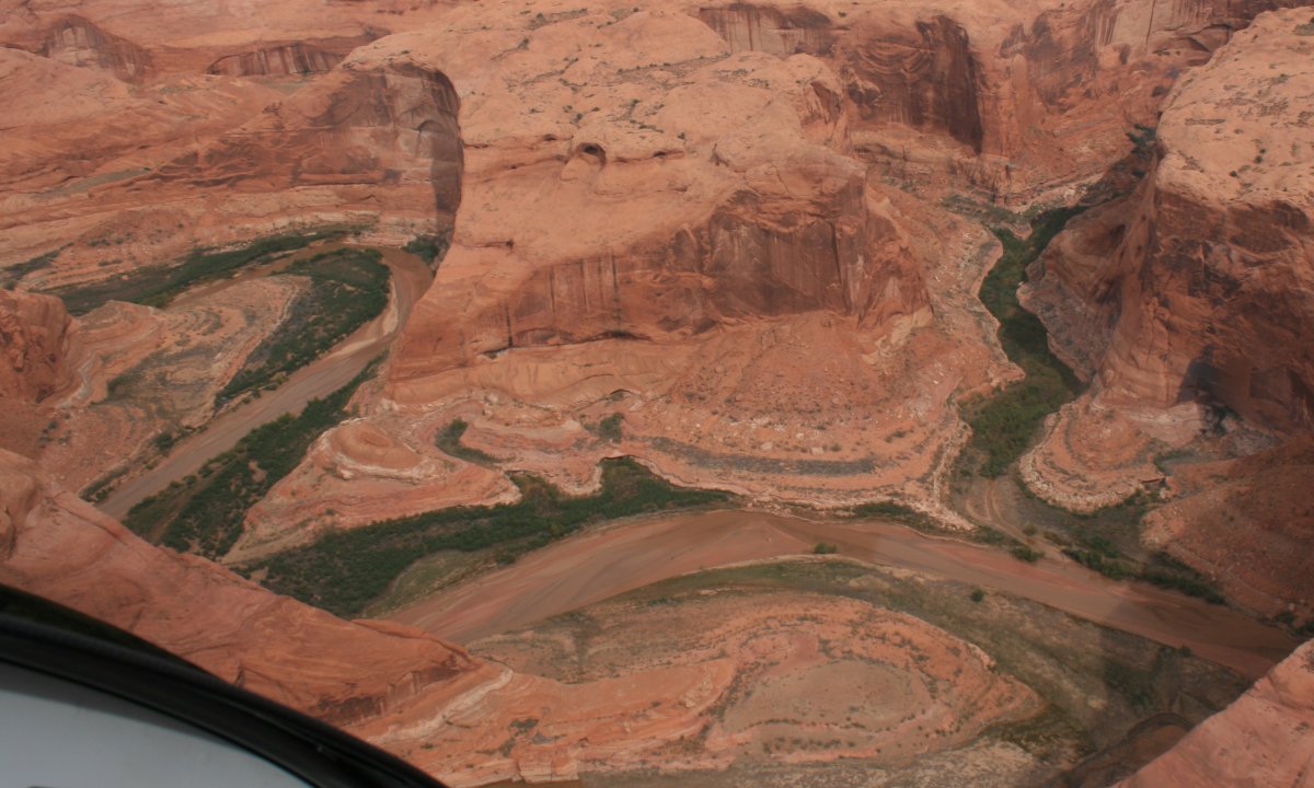
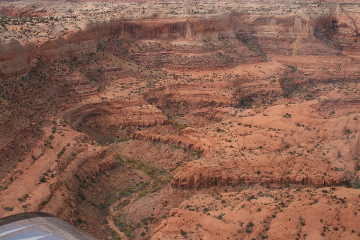
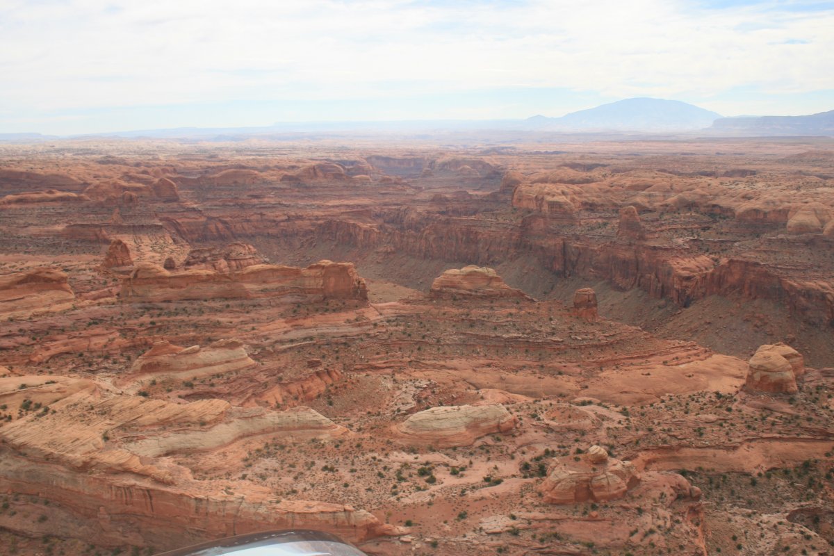
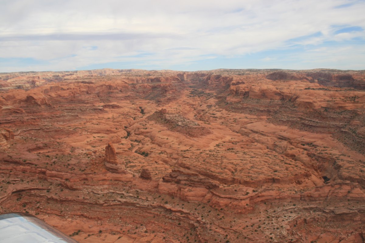
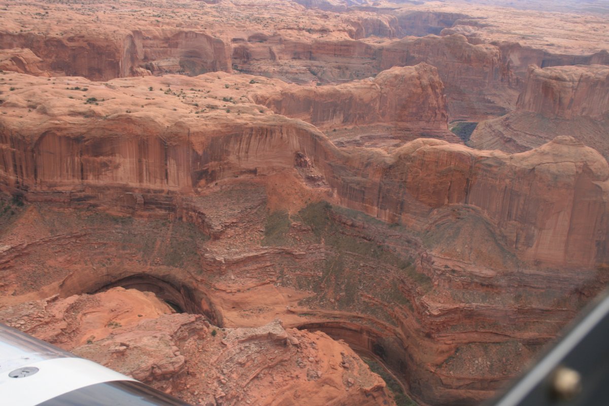
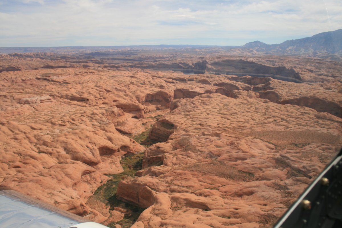
I actually got a little disoriented here. My goal was to fly up the Escalante River. Here, I thought I was on it. But I was still following Lake Powell.
|
| |
 |
|
| |
| |
 |
|
| I finally realized my mistake when I saw the marinas at Bullfrog Basin. I only had to fly west a short distance (in the RV) to get back on track on the Escalante River. |
| |
 |
|
| |
| |
 |
|
|
|
| |
 |
|
| |
| |
 |
|
|
|
| |
 |
|
| |
| |
 |
|
|
|
| |
 |
|
| |
| |
 |
|
| |
| |
 |
|
| |
| |
 |
|
|
|
| |
 |
|
| P |
| |
 |
|
|
|
| |
 |
|
| |
| |
 |
|
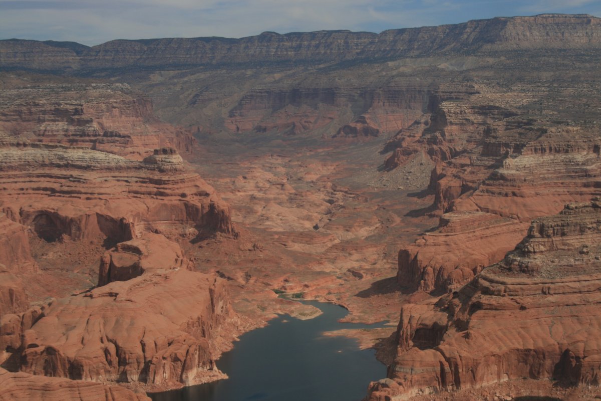
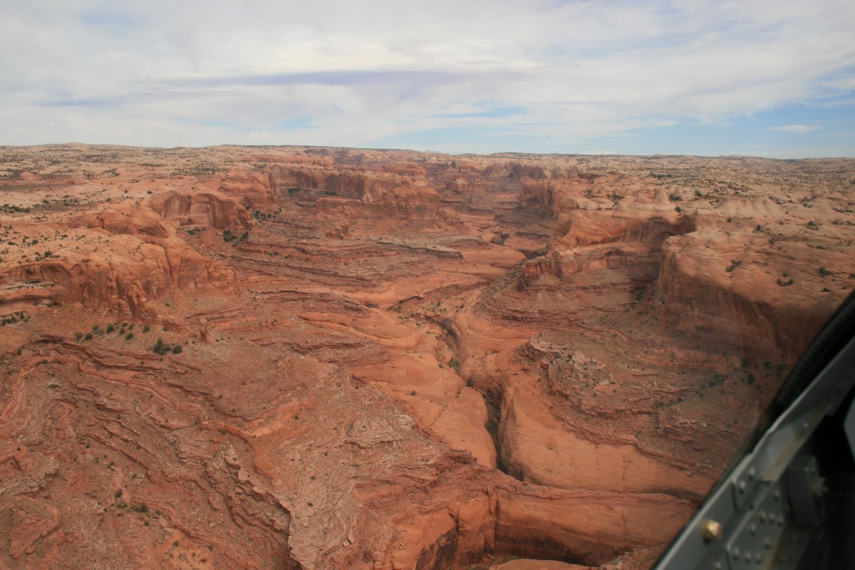
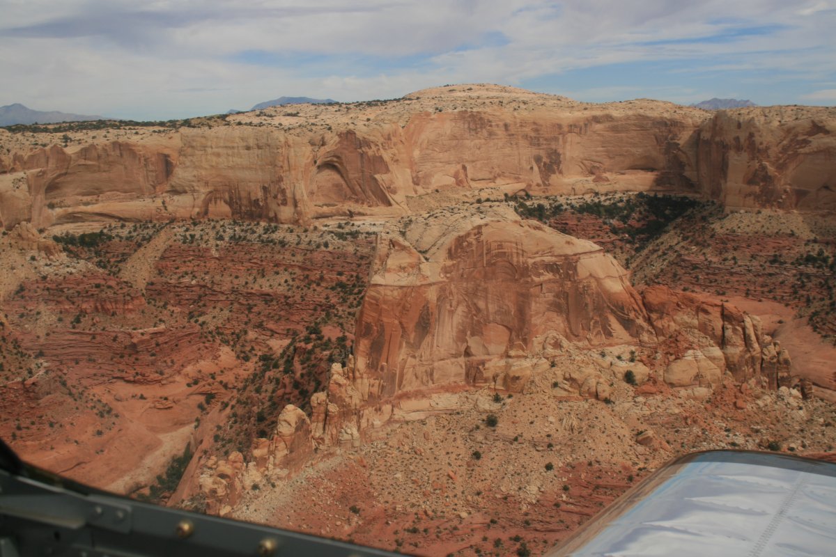
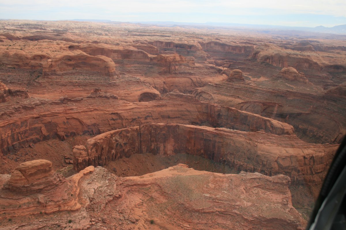
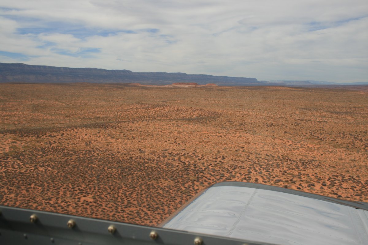
| Heading back towards Lake Powell along the plateau. |
| |
 |
|
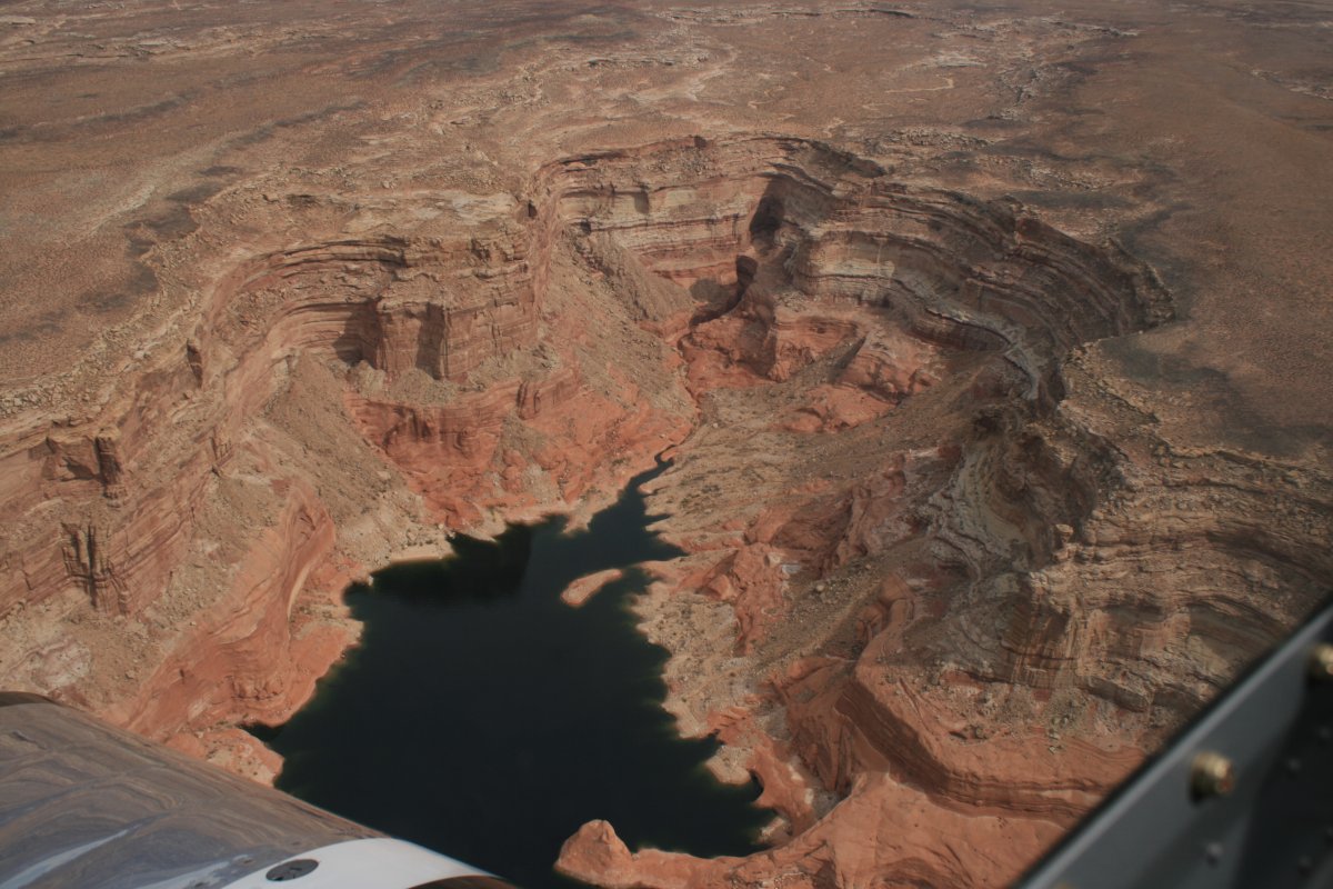
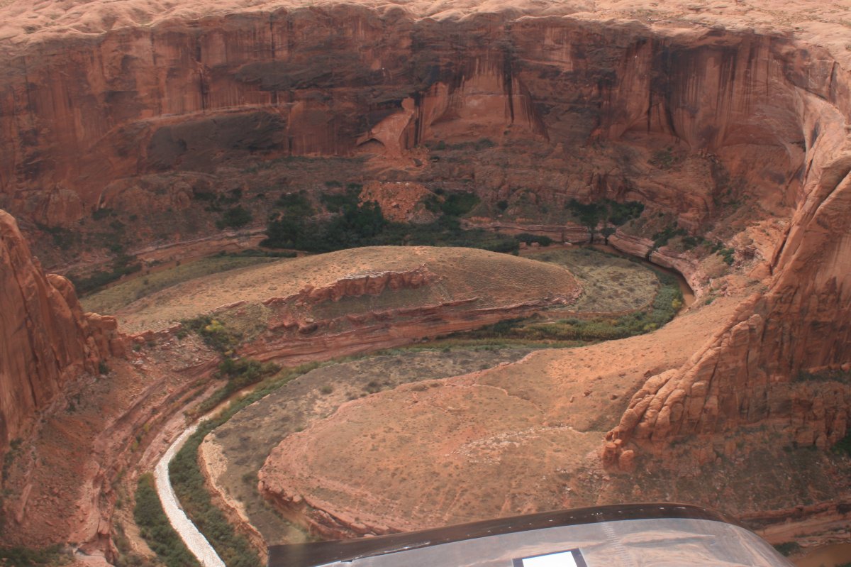
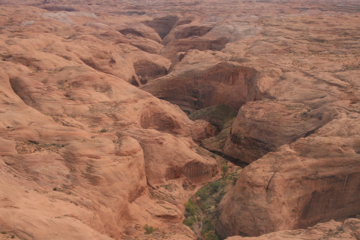
| Still some mini-canyons to the north. |
| |
 |
|
|
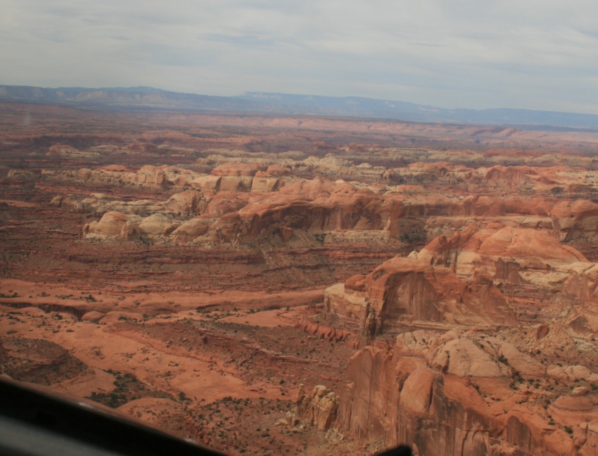
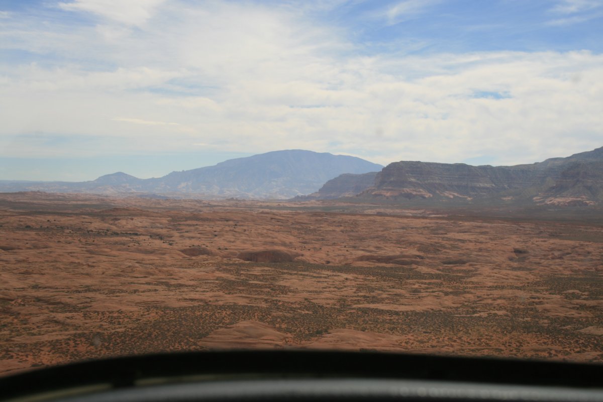
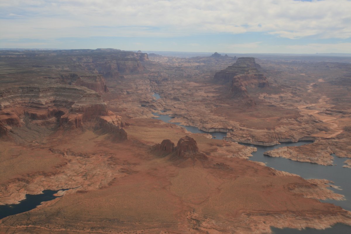
I believe that is Navajo Mountain straight ahead, on the other side of the Lake. The Kaiparowits Plateau is to the right.
|
| |
 |
|
| Approaching the Lake. |
| |
 |
|
|
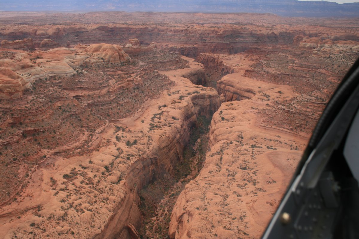
And there it is.
|
| |
 |
|
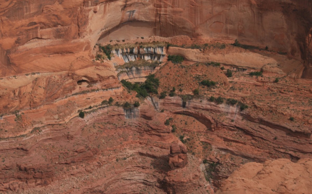
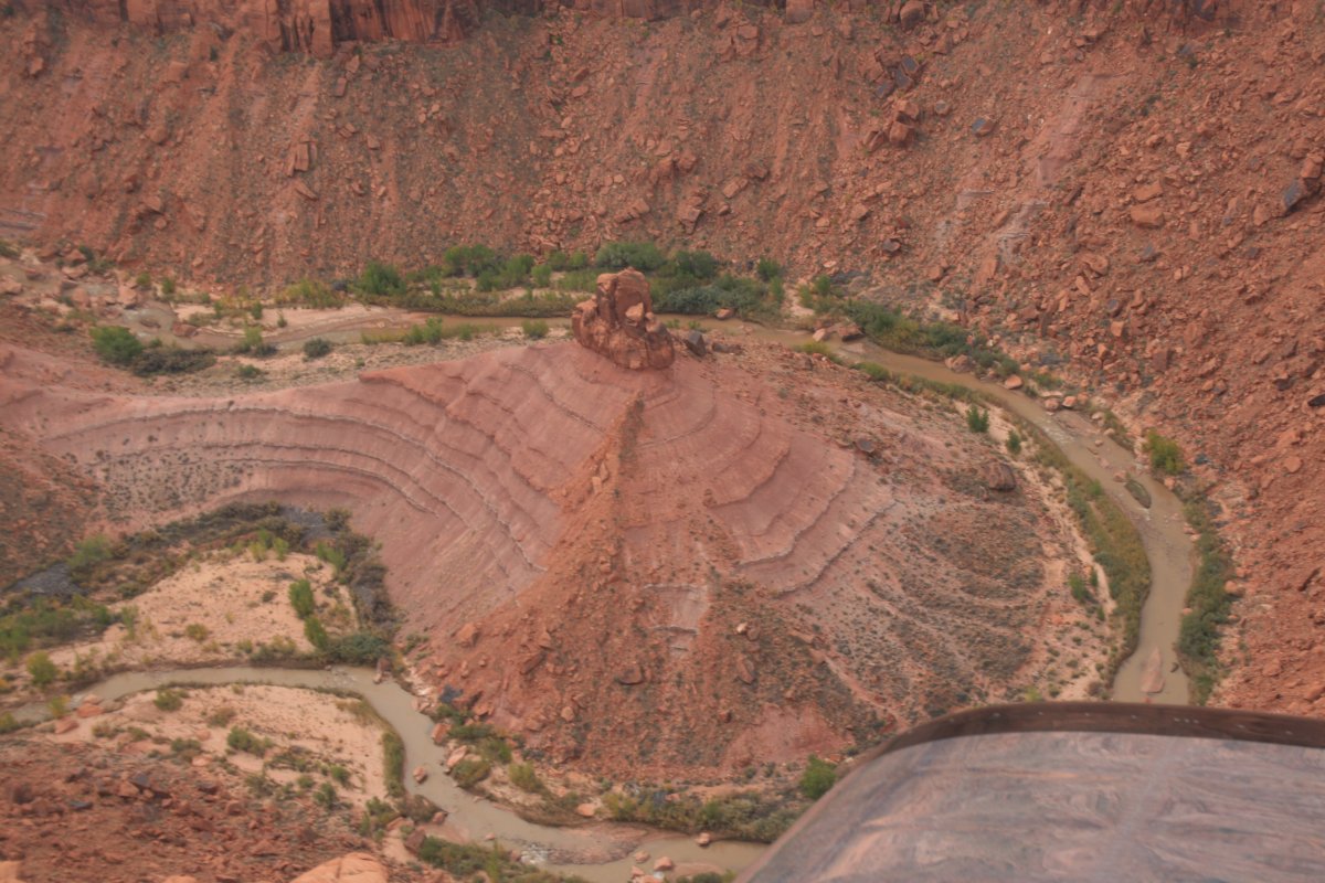
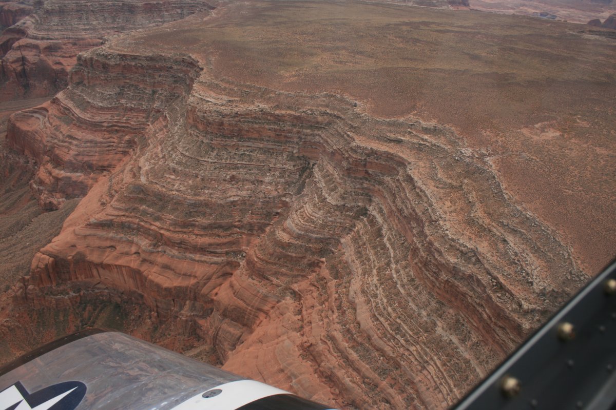
| Some serious strata. |
| |
 |
|
| Now it is only a short transit down Lake Powell to my final destination for today: Marble Canyon Airport. |
| |
 |
|
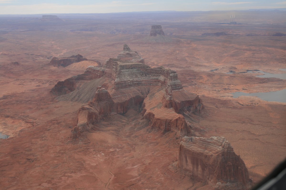
| That's a wild looking rock. |
| |
 |
|
|
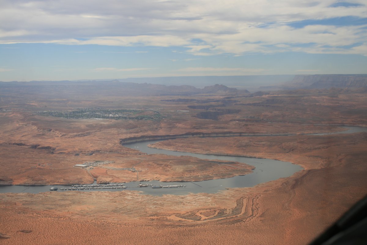
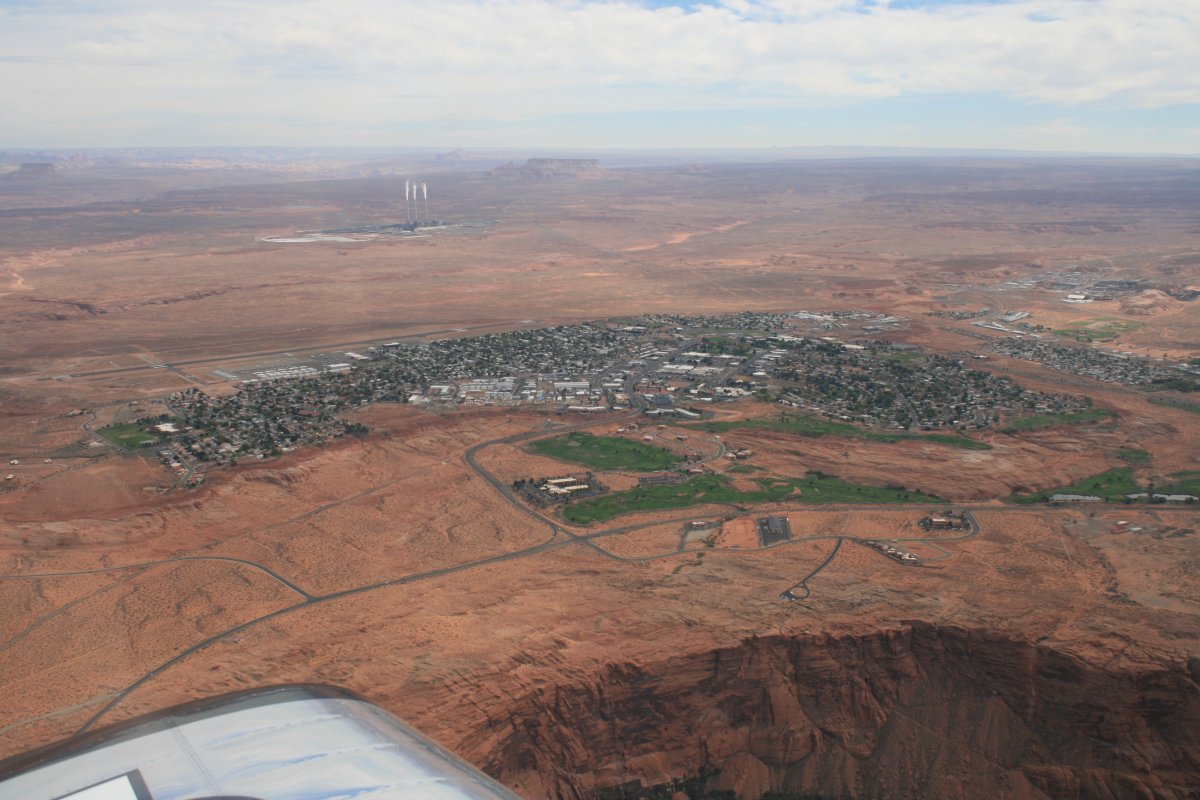
There is Page at center left.
|
| |
 |
|
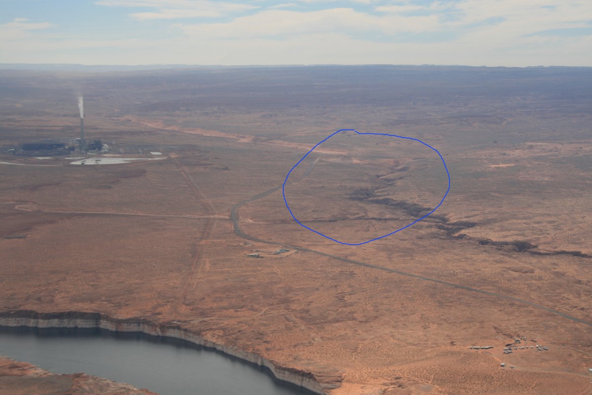
| The area circled is Antelope Canyon where great pictures can be taken. I went there two years ago. You'd never know from the air how good it is. |
| |
 |
|
|
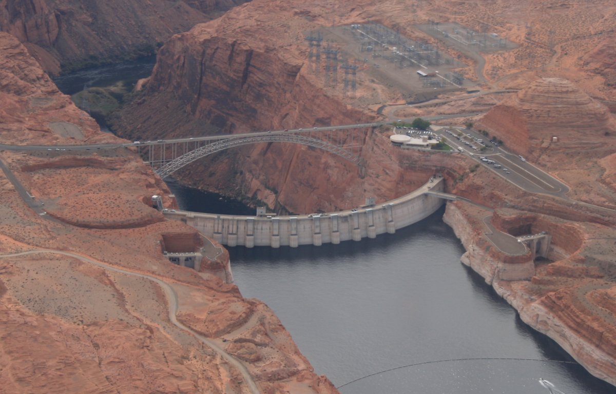
Glen Canyon Dam
|
| |
 |
|
| A closer look at Page with the airport on the left, far side. |
| |
 |
|
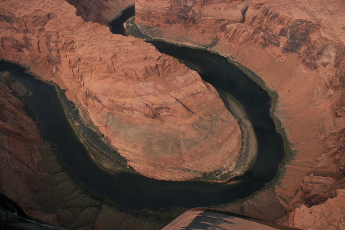
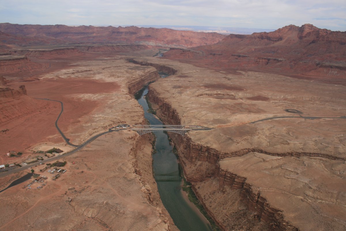
| The famous Horseshoe Bend of the Colorado River. |
| |
 |
|
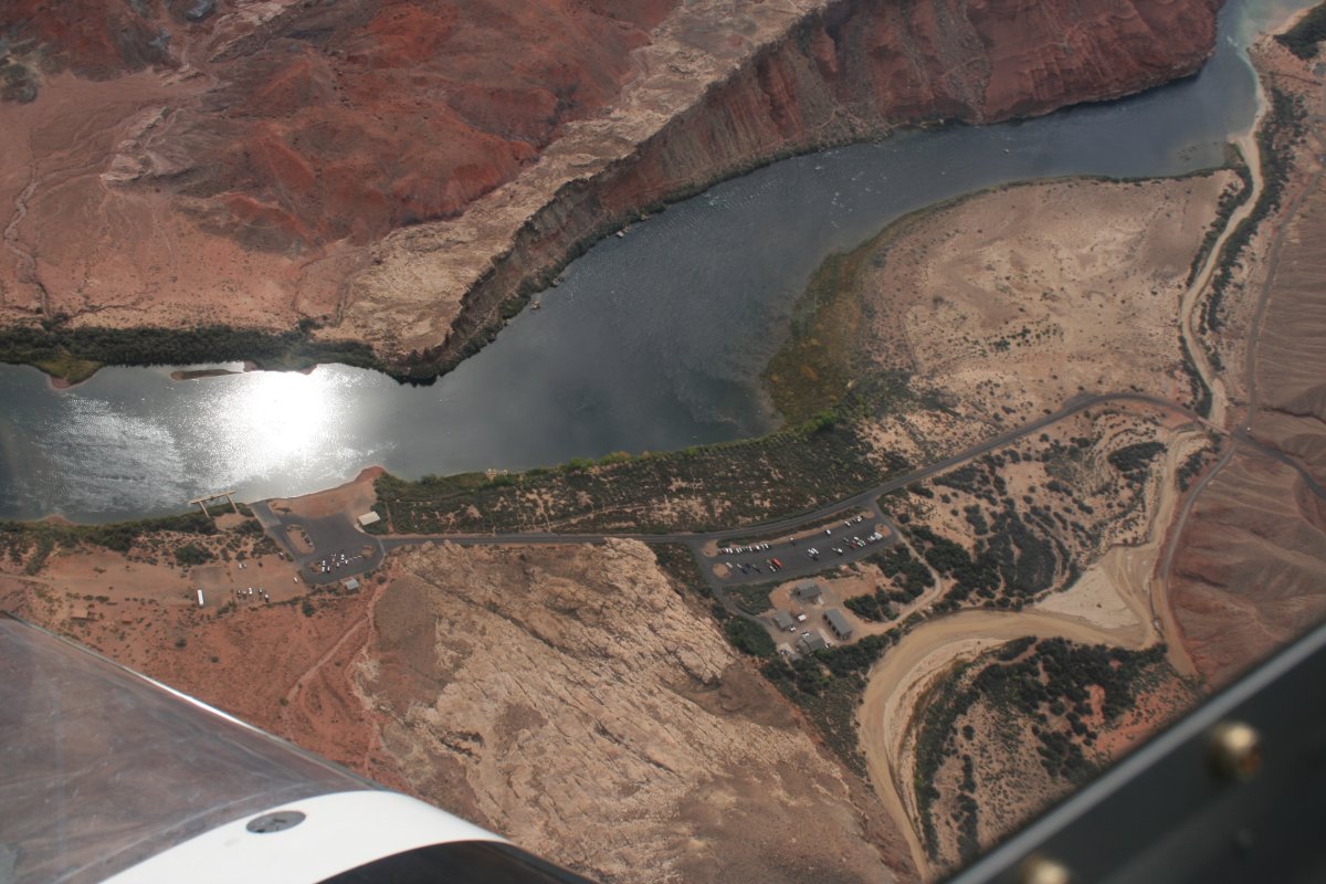
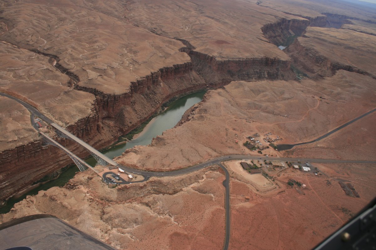
| Looking straight down at Lee's Ferry. Lynnette and I hope to do a rafting trip through the Grand Canyon in 2018. |
| |
 |
|
|
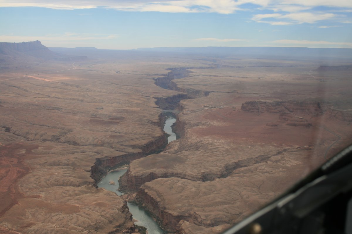
Looking south down the Colorado River.
|
| |
 |
|
| Marble Canyon airport on the right and the bridges on the left. |
| |
 |
|
|
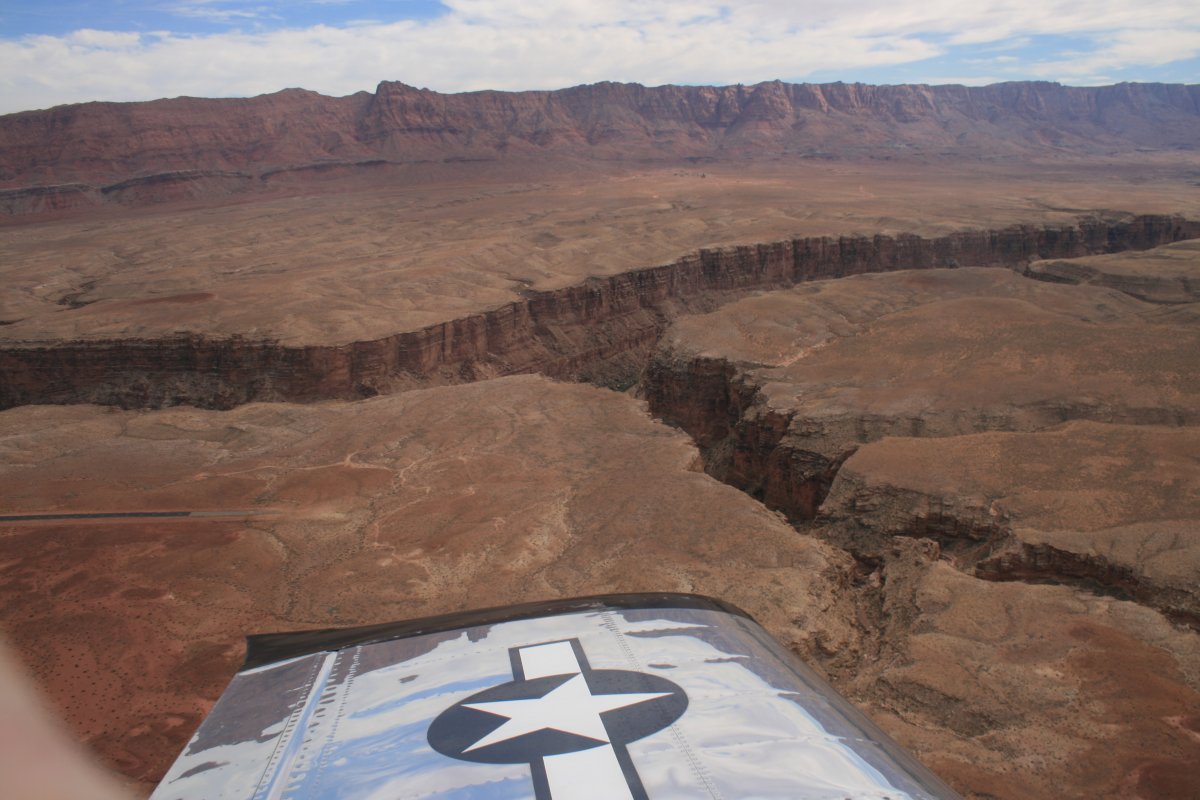
Looking north.
|
| |
 |
|
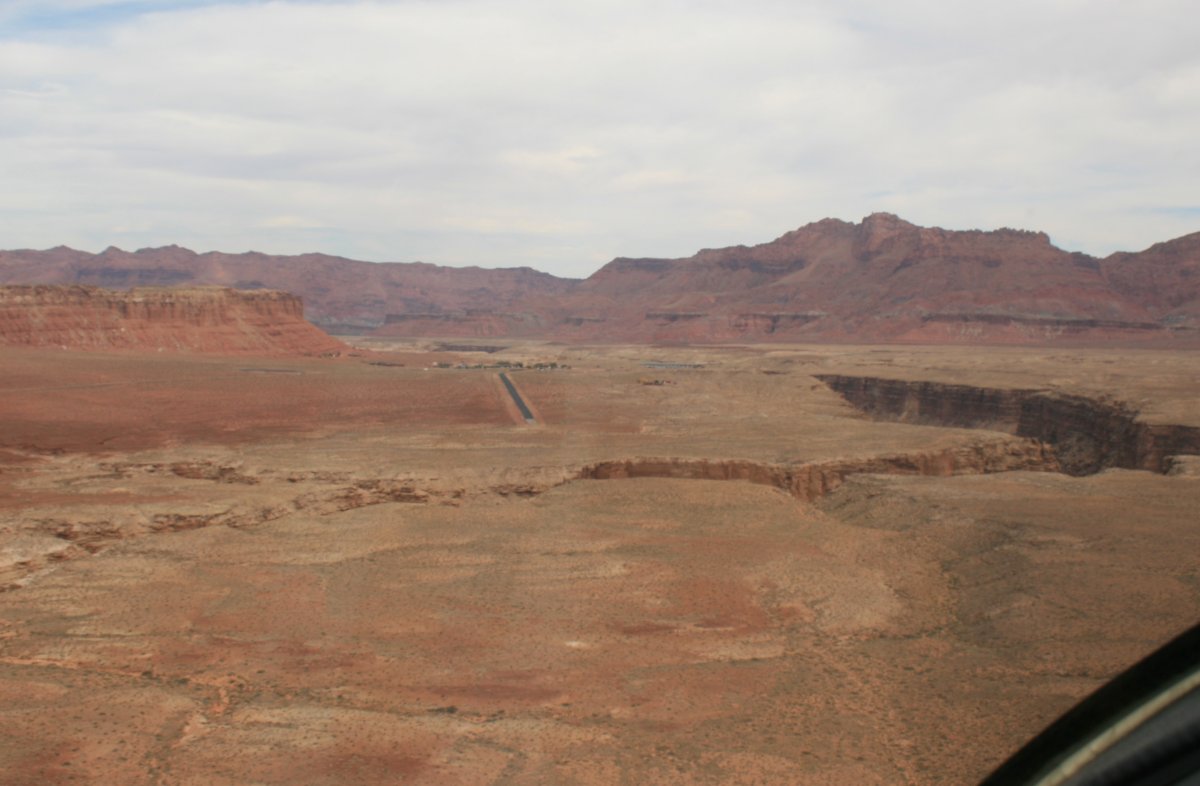
| On downwind for Runway 3 at Marble Canyon Airport; about to turn base leg. |
| |
 |
|
| On a long final for runway 3. |
| |
 |
|
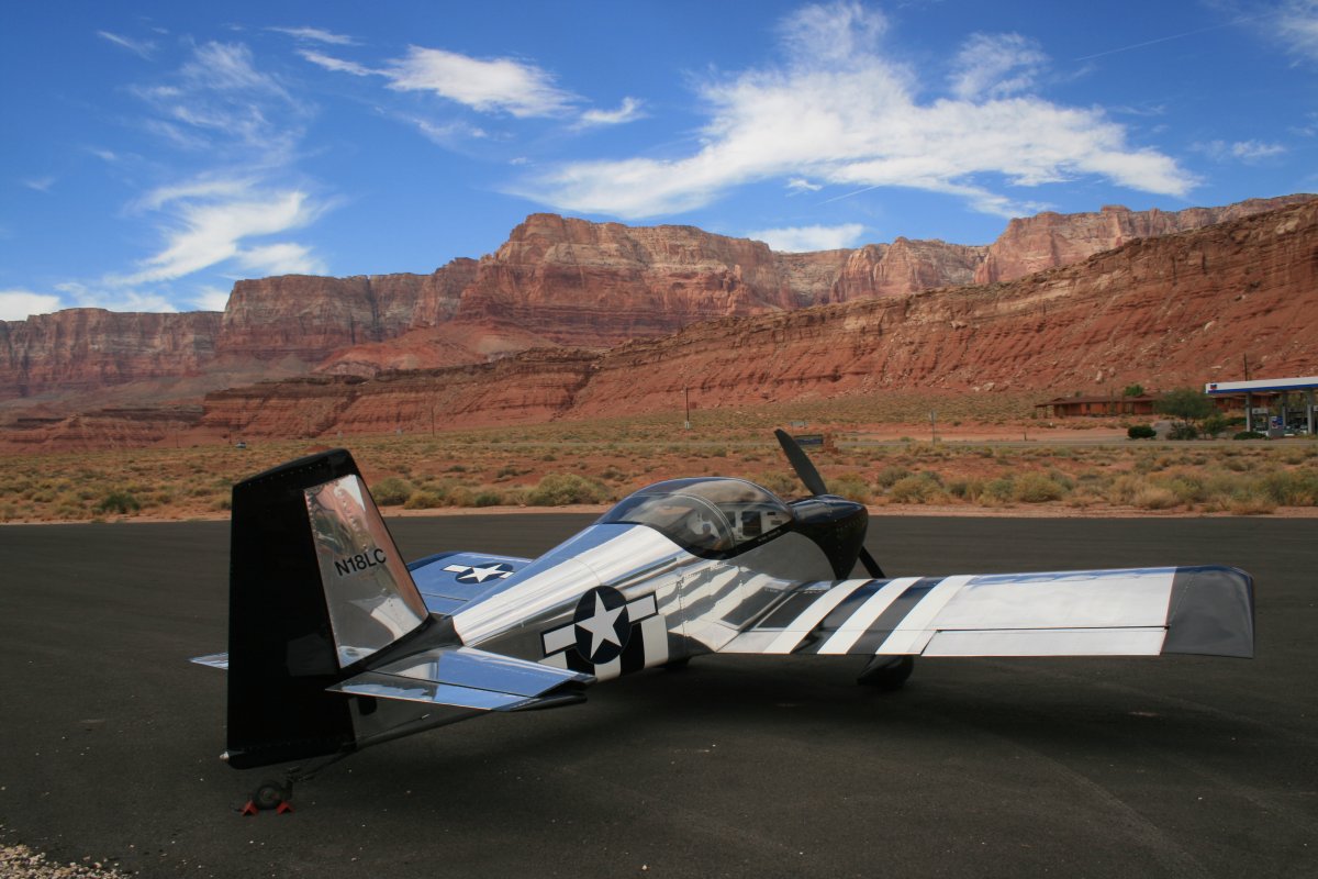
| Safe on deck at Marble Canyon Airport. Not a bad view! |
| |
 |
|
| |
| |
|
|
|
|
|
|