Day 7 - Cedar Breaks National Monument/Ash Down Gorge Wilderness Area
|
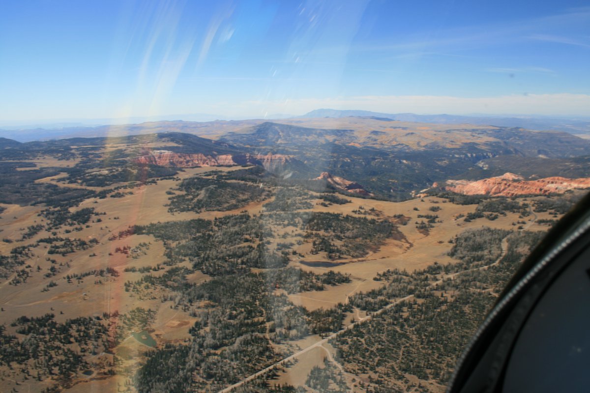
| Cedar Breaks National Monument was on the other (western) side of a good size 10,000 foot mountain! I had to go up to 11,000 feet to get over it. (I really didn't have to climb too much -- Bryce Canyon Airport field elevation was 7,600 feet) Here I'm at the top of the mountain and Cedar Breaks is just coming into view. |
| |
 |
|
|
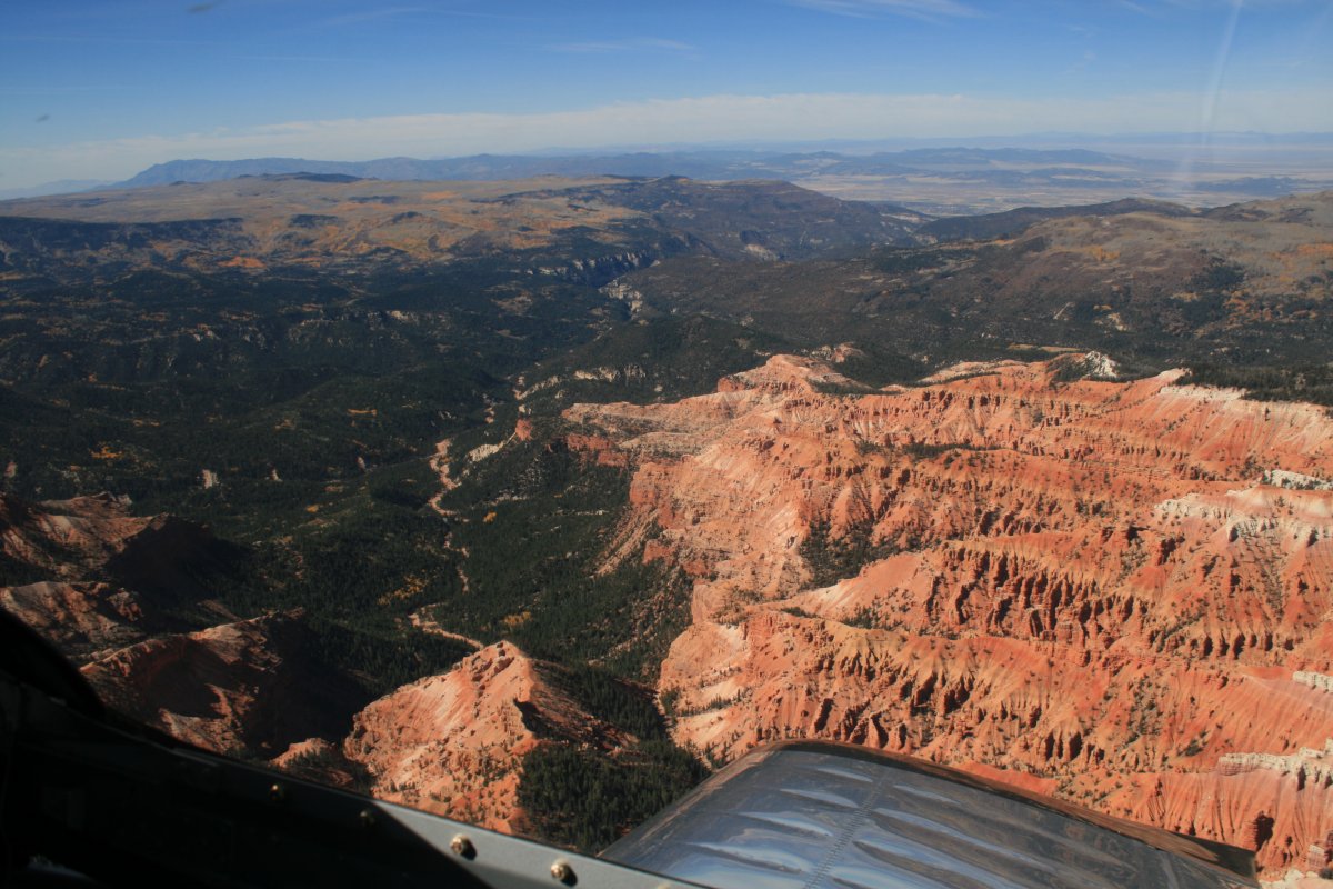
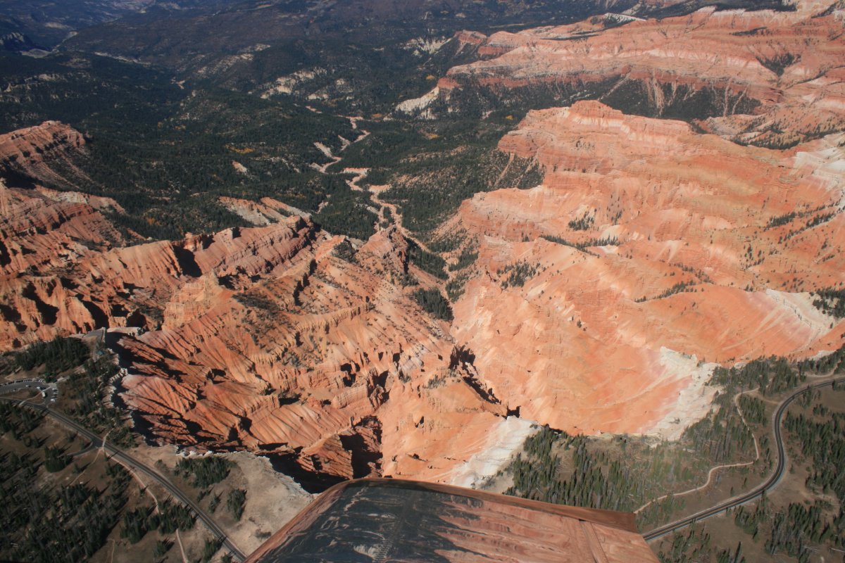
Cedar Breaks is described as a natural amphitheatre 3 miles across and I could see why.
This is half of it looking to the north.
|
| |
 |
|
|
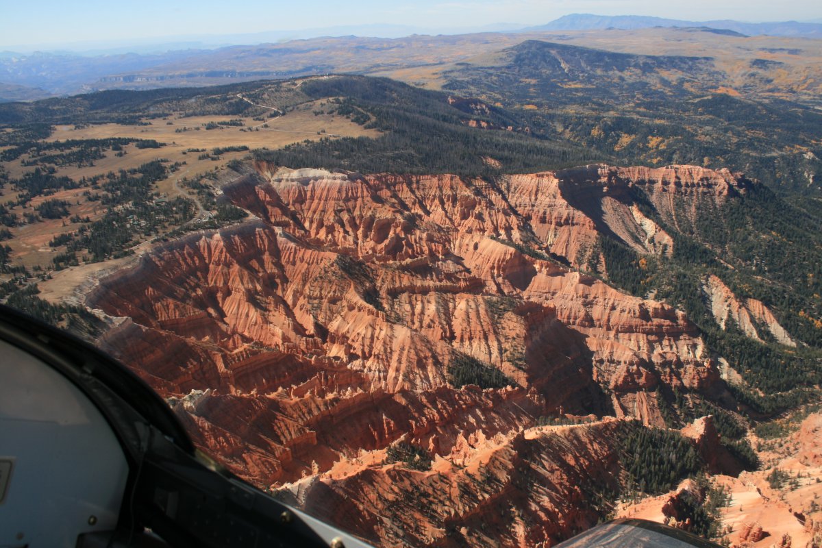
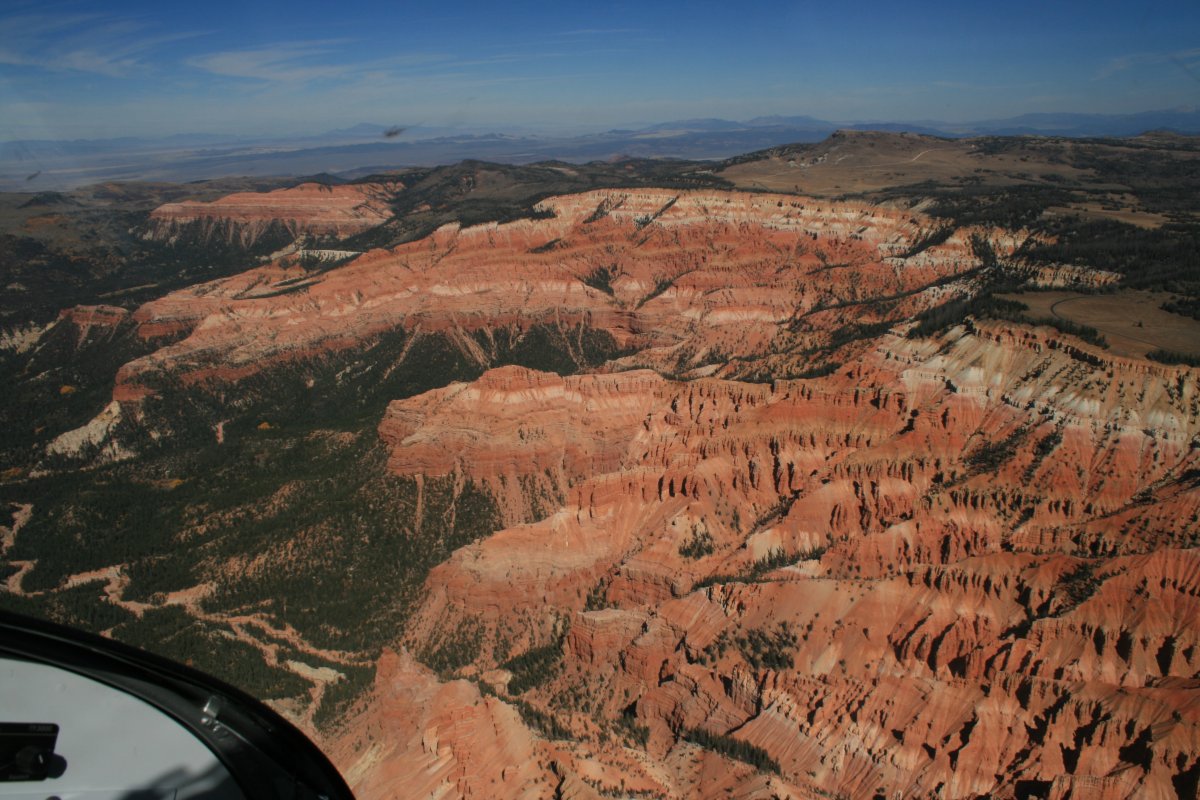
And the other half looking to the south. The red rock formations are very similar to what I saw at Bryce Canyon.
|
| |
 |
|
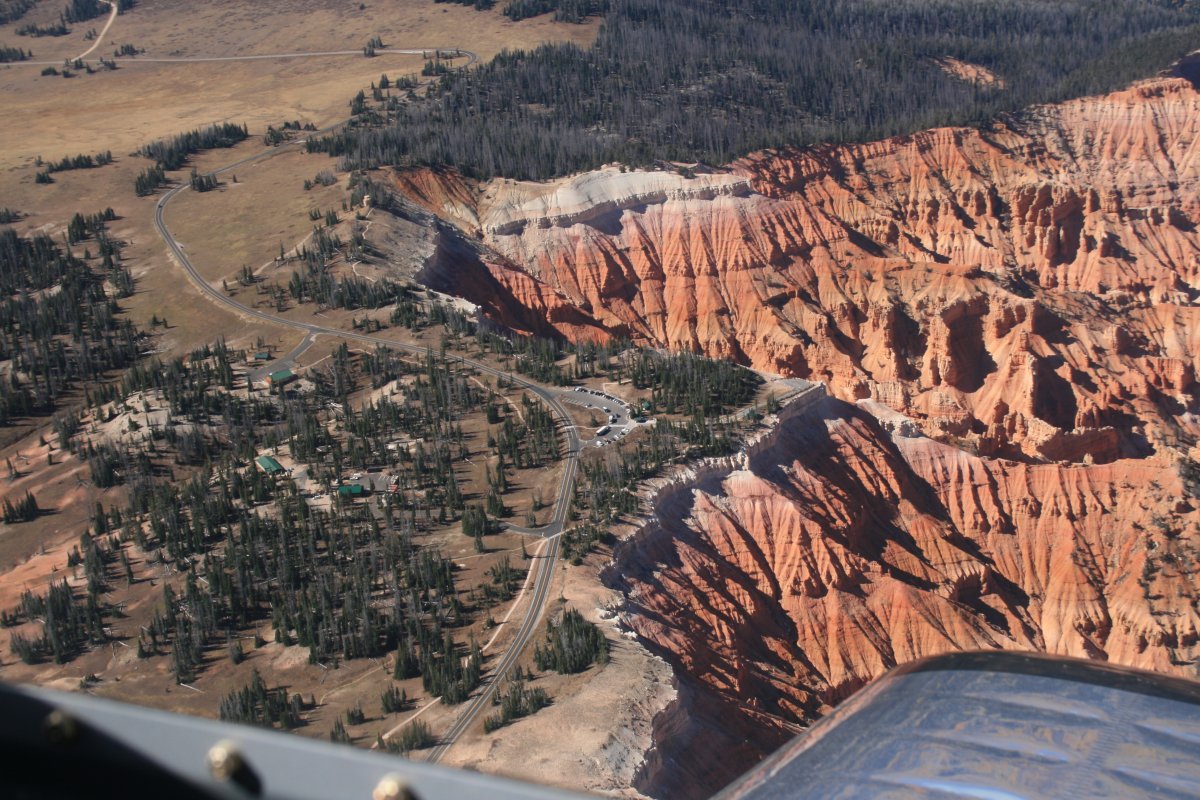
| There is a visitor's center on the rim, probably down there by that parking lot. |
| |
 |
|
| Looking straight down. |
| |
 |
|
| Looking north again. |
| |
 |
|
|
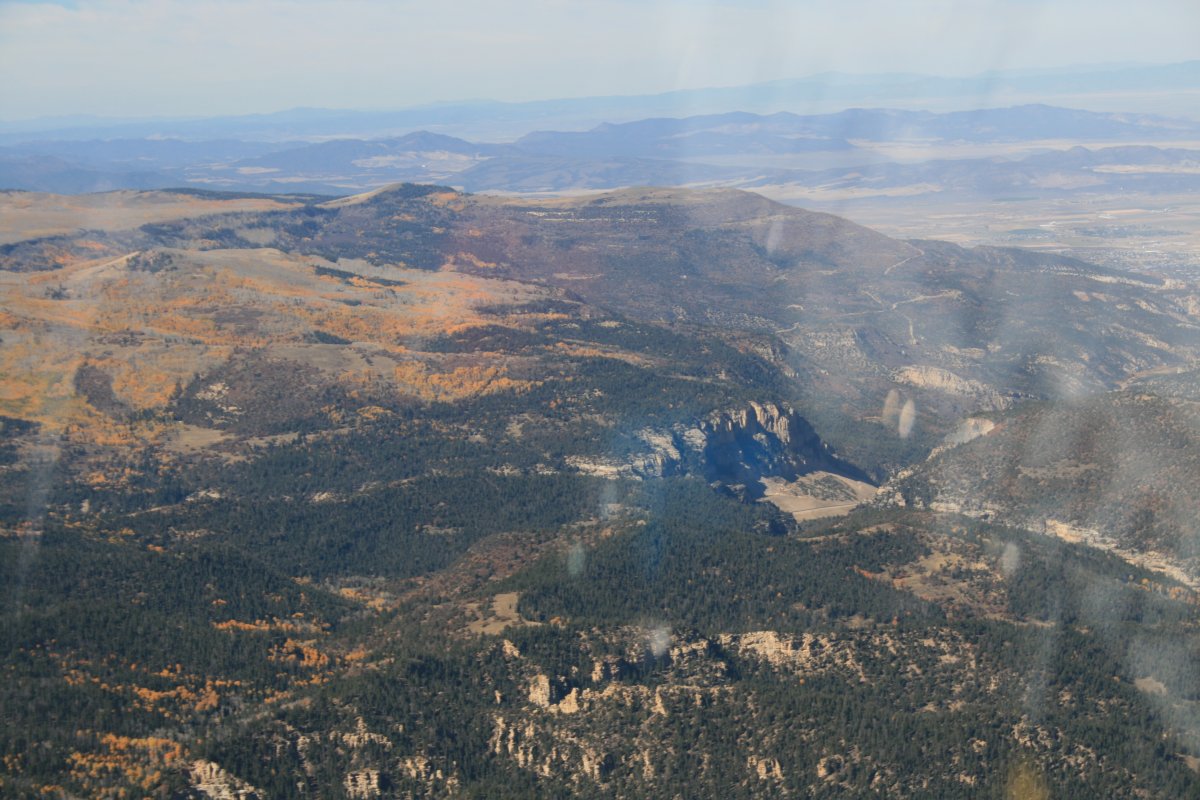
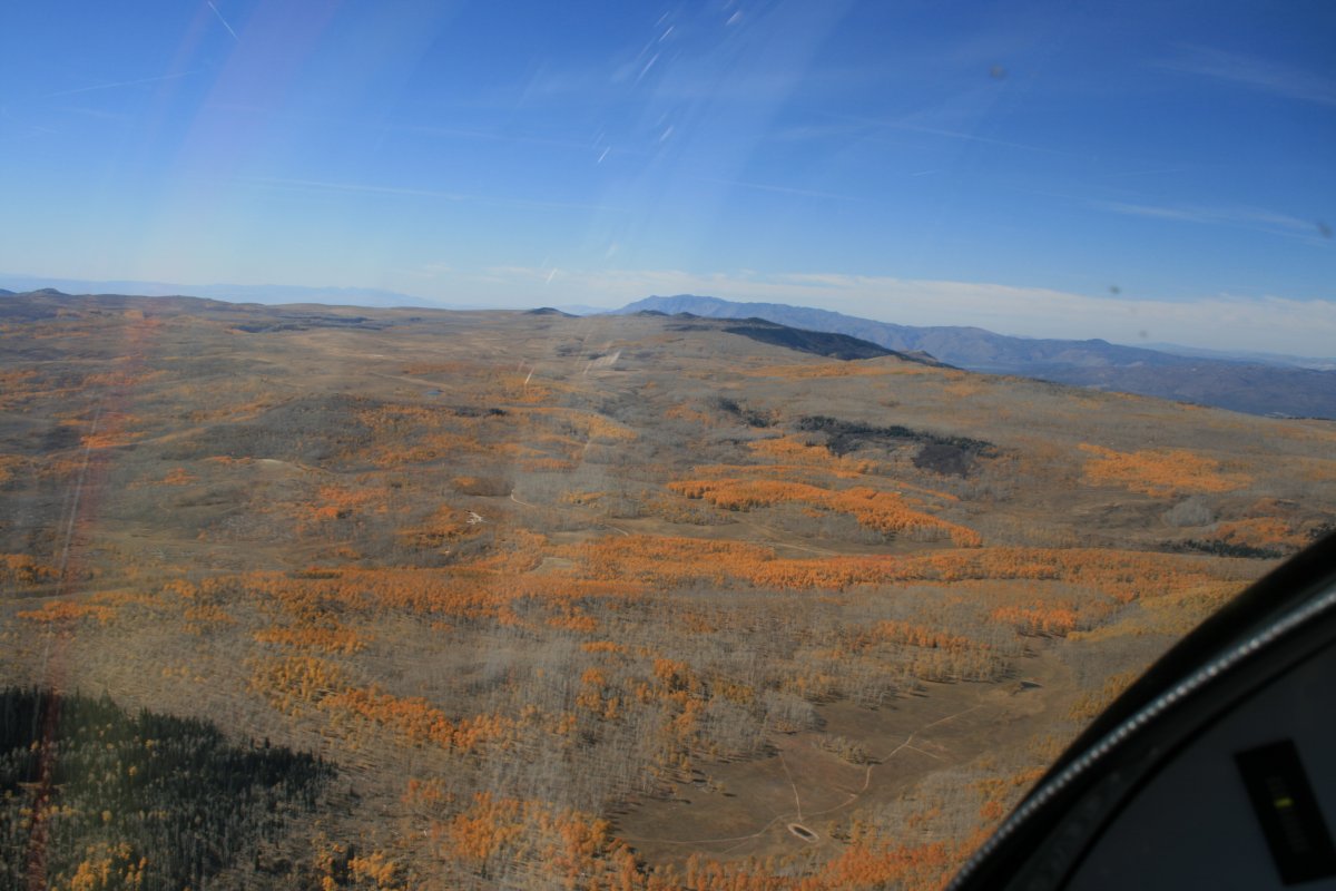
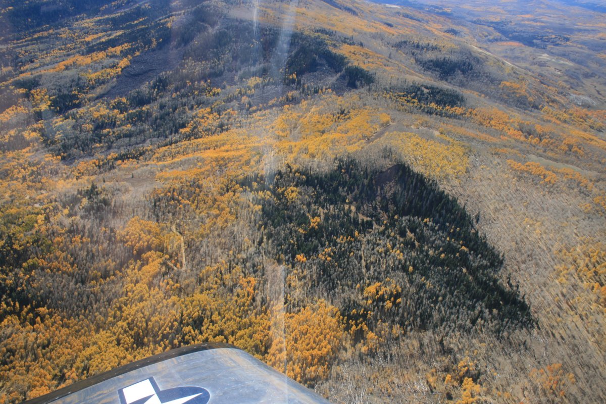
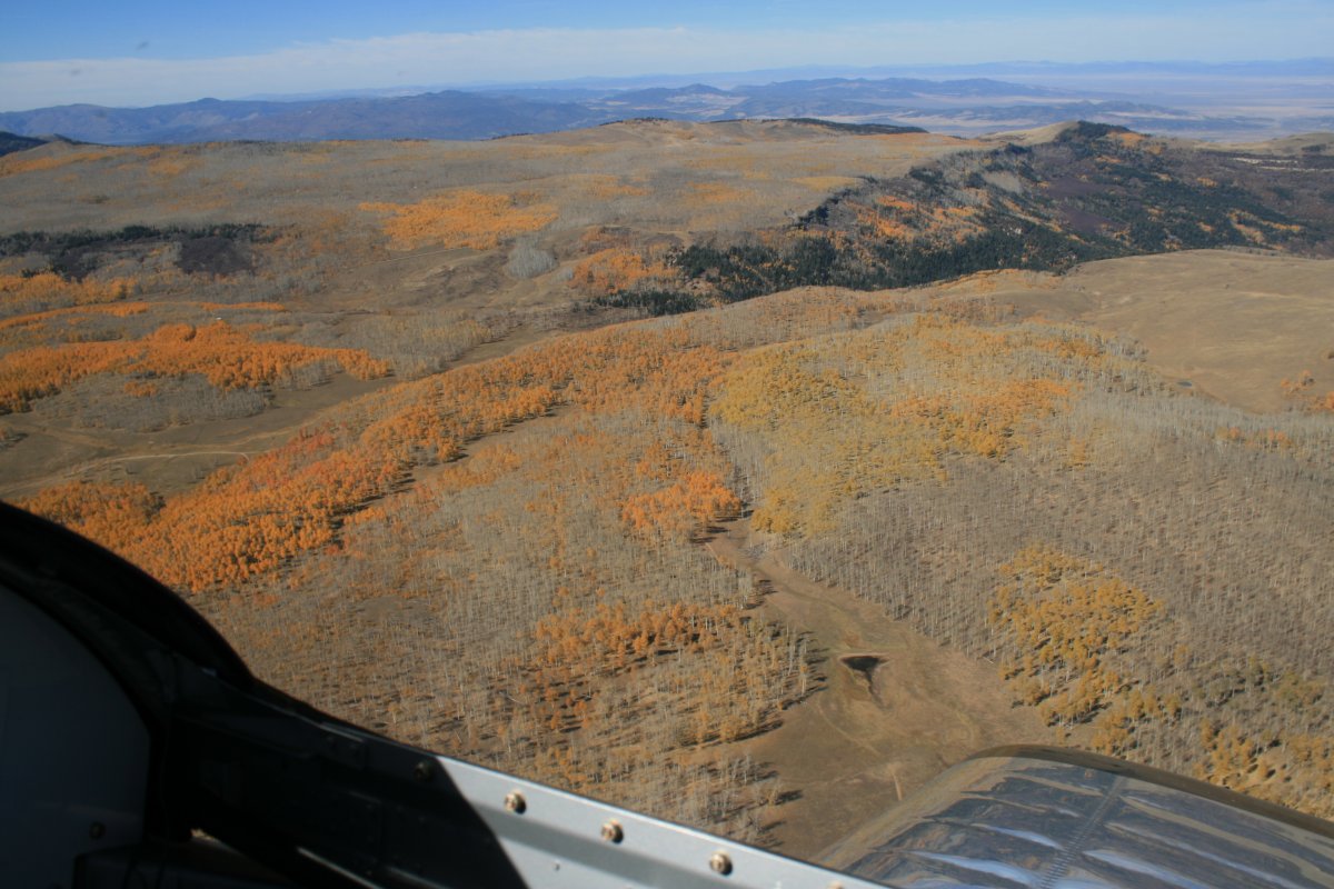
Off to the south was a high plateau covered with bright yellow trees.
|
| |
 |
|
| A closer look at the plateau. |
| |
 |
|
|
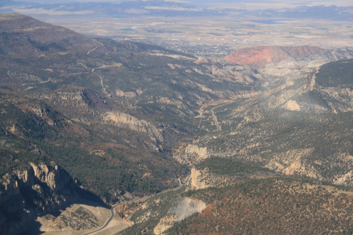
Looking down the valley from Cedar Breaks. The town of Cedar City is visible in the distance on the floor of the valley. Cedar City Regional Airport is just on the other side of the town although I didn't land there.
|
| |
 |
|
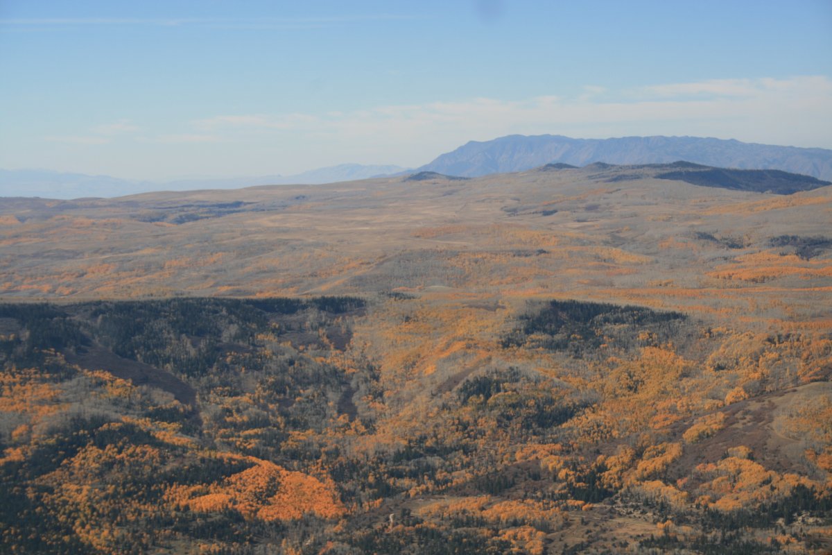
| My next stop was Zion National Park which was to the south, so I got to fly over the yellow plateau to get there. |
| |
 |
|
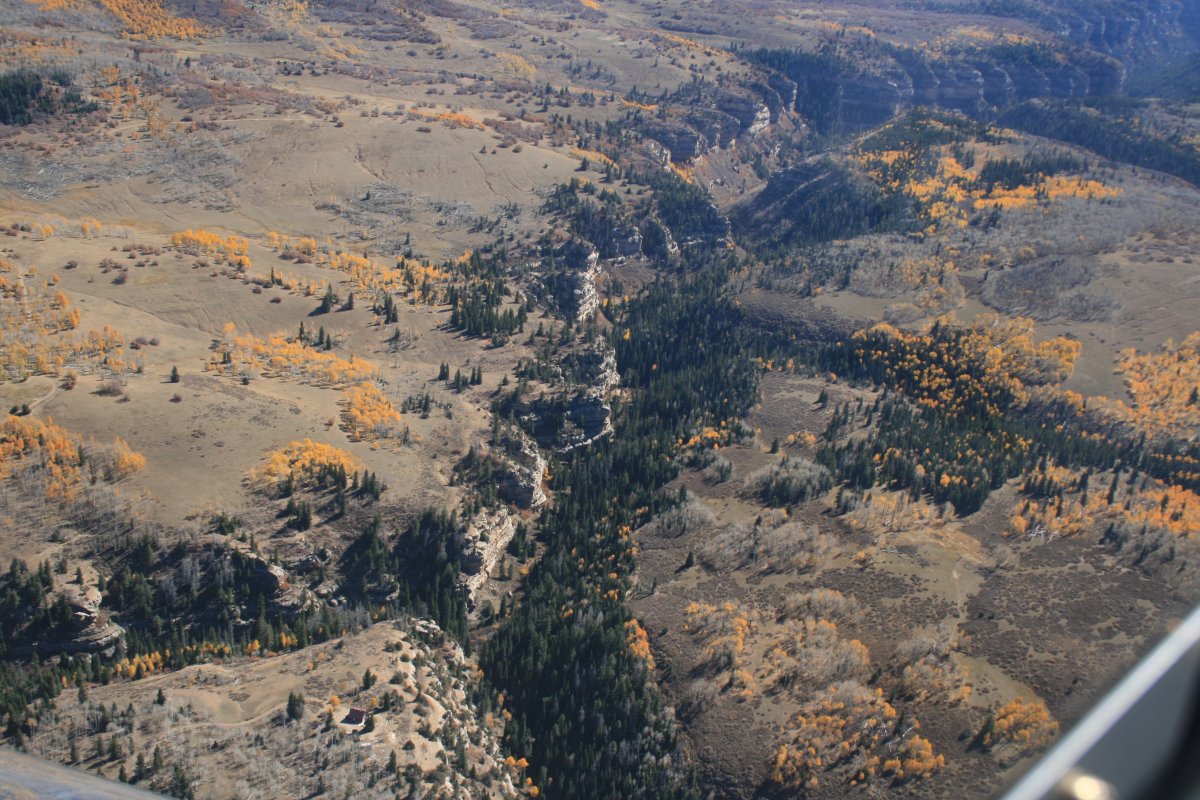
| Not sure why kind of trees had the yellow leaves but they sure were pretty. |
| |
 |
|
| |
| |
 |
|
| Then I started seeing the ground open up and I knew I was approaching Zion, although having never been there before, I had no idea what to expect. |
| |
 |
|
| |
| |
|
|
|
|
|
|