Day 6 - Dinosaur National Monument/Echo Park/Green and Yampa Rivers
|
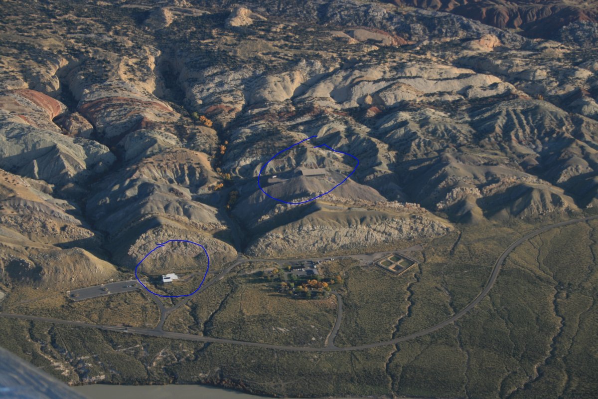
| I got my usual early start and was soon over the Dinosaur National Monument visitor's center that I had visited yesterday afternoon (circled in blue). The fossil quarry is visible nearby as well. |
| |
 |
|
|
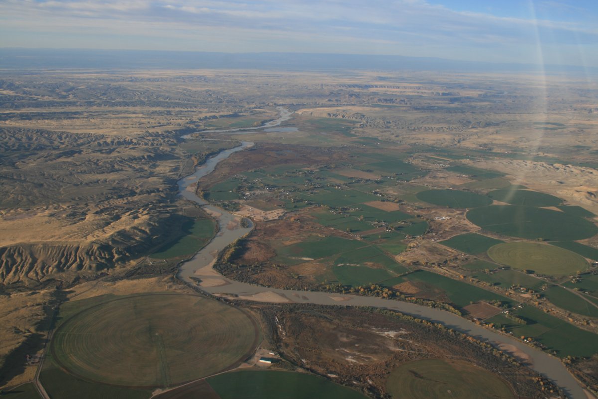
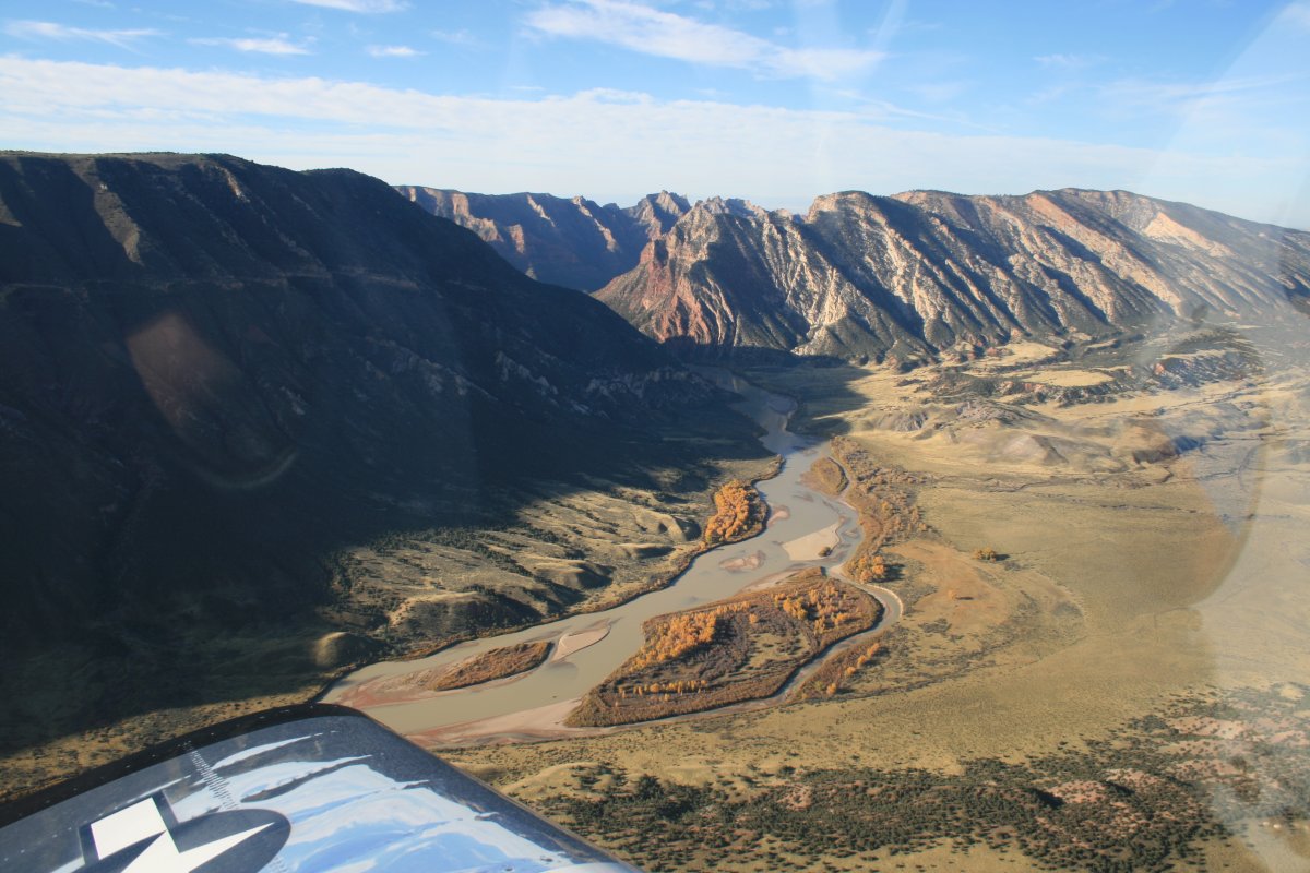
Looking south as the Green River flows through the Uintah Valley.
|
| |
 |
|
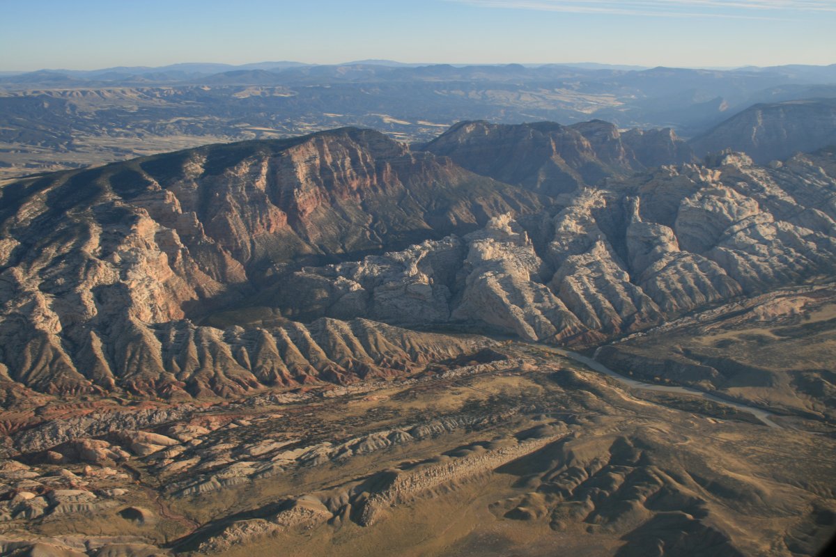
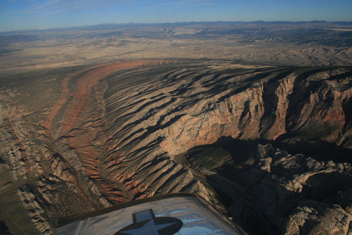
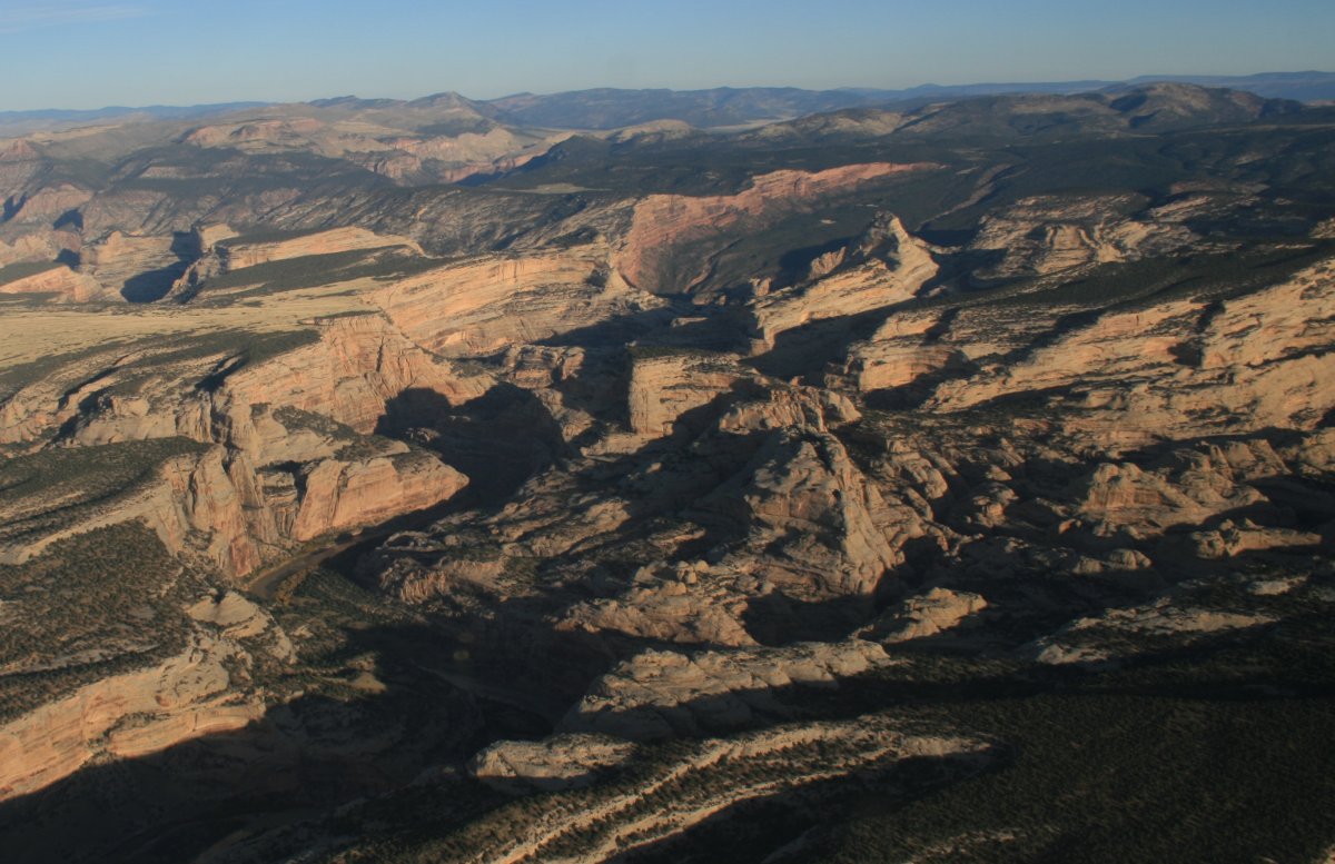
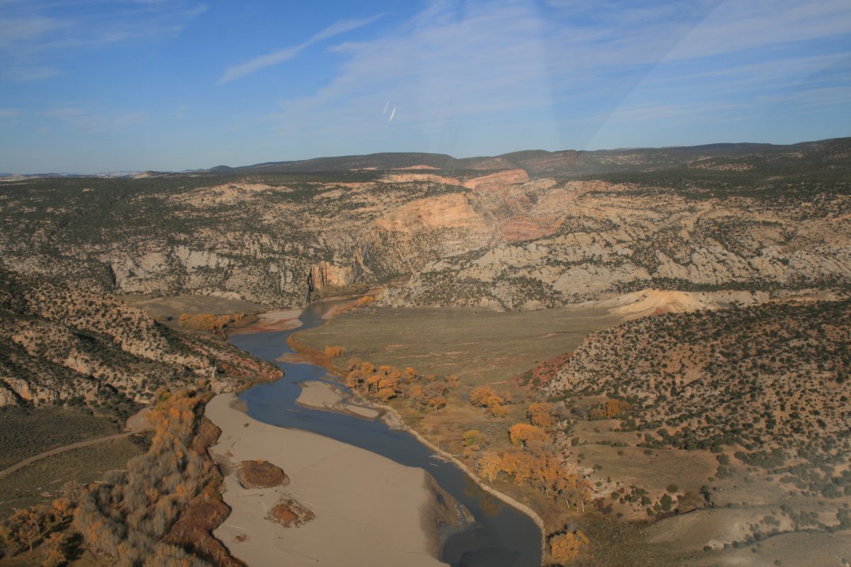
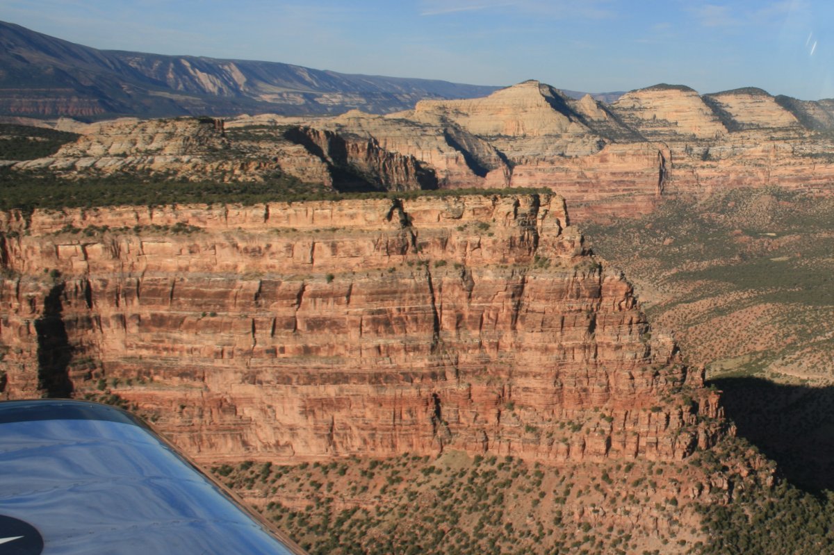
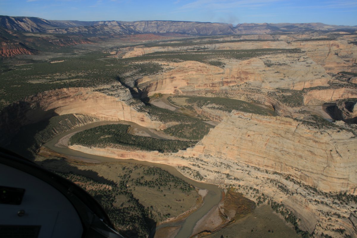
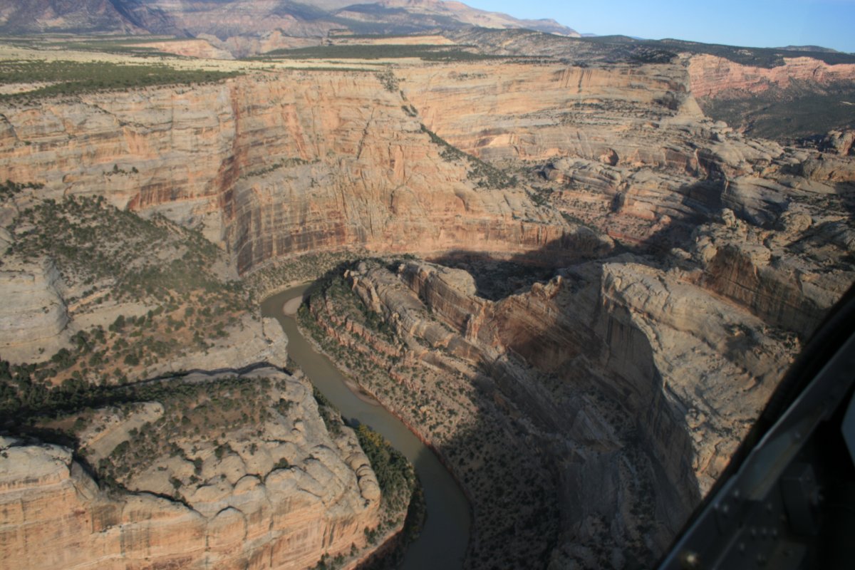
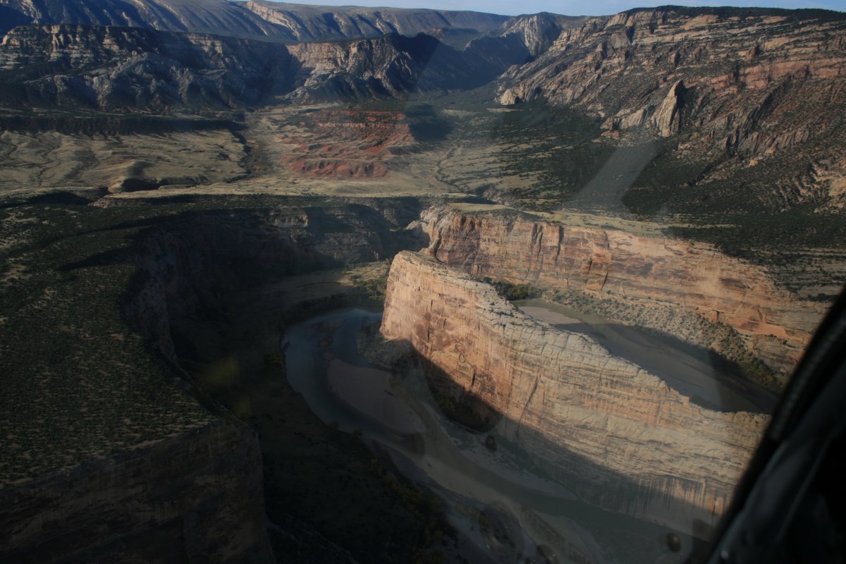
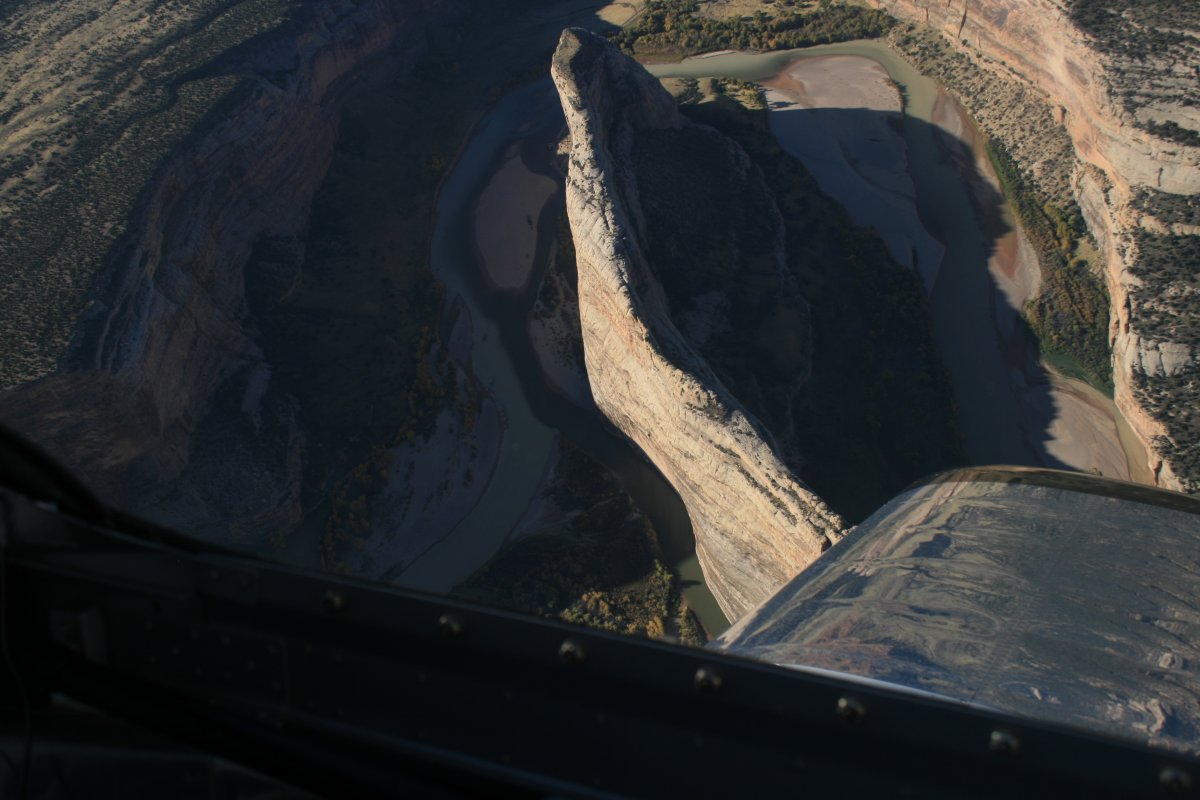
| That massive rock mountain is called Split Rock. The Green River does split it lengthwise. You can see the area where I was yesterday in the car. That big rock doesn't look so big now. |
| |
 |
|
|
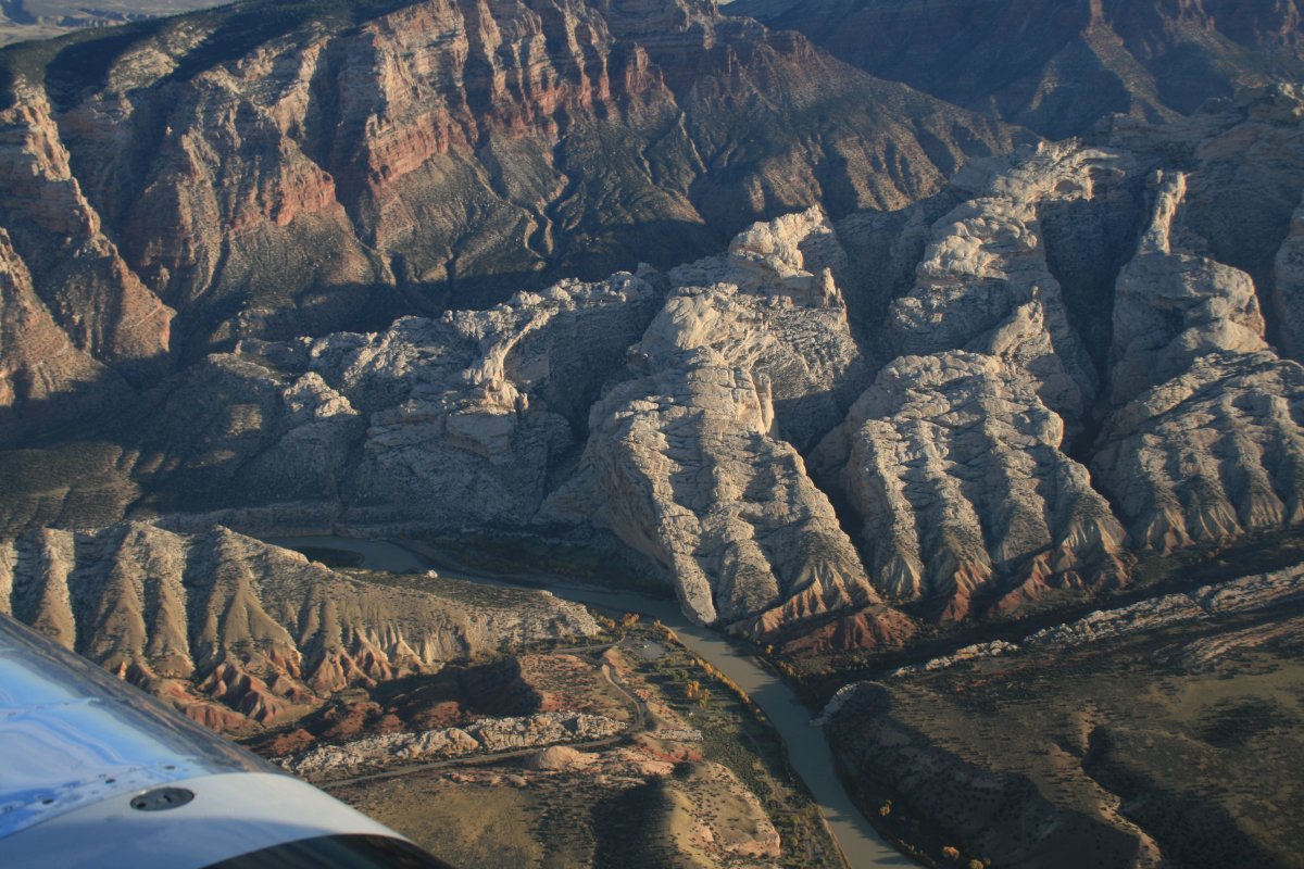
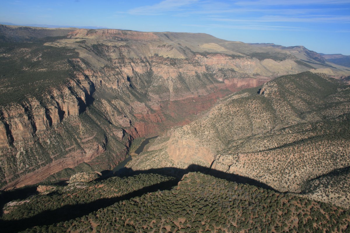
A closer look at the area I was at yesterday.
|
| |
 |
|
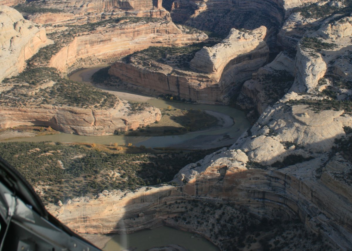
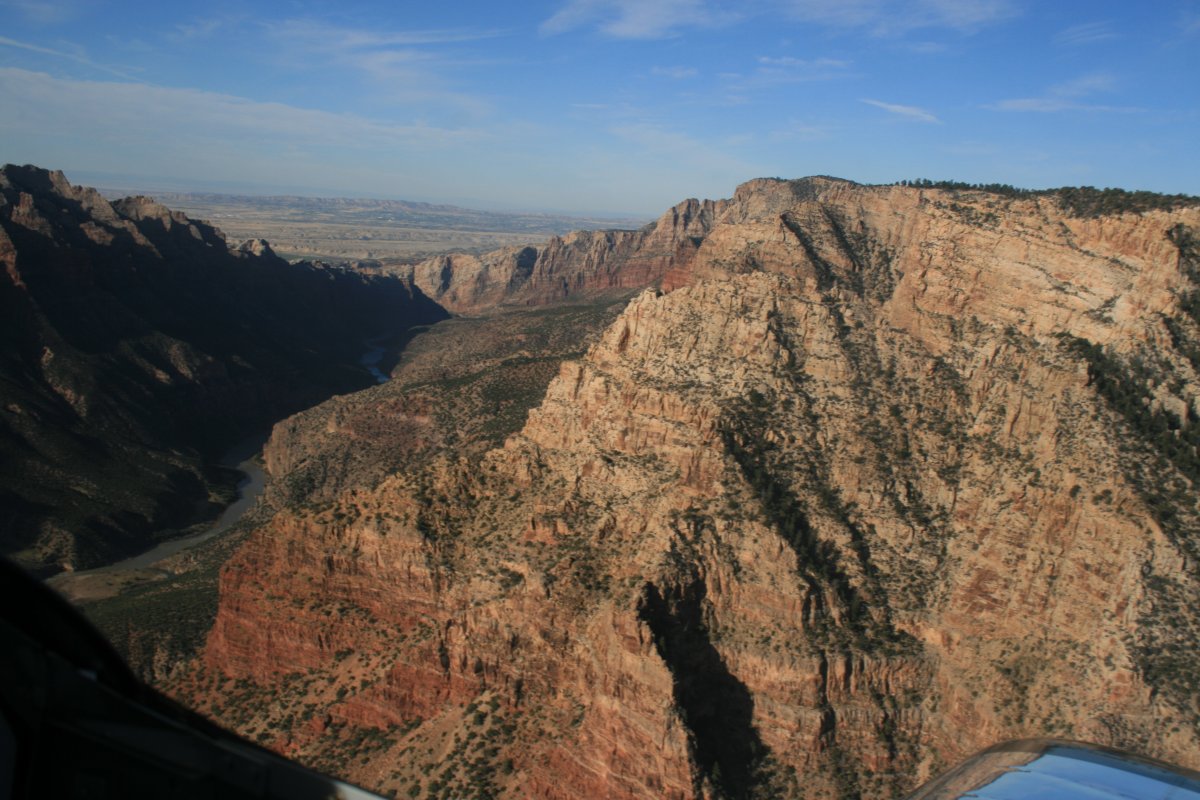
| Pretty country. |
| |
 |
|
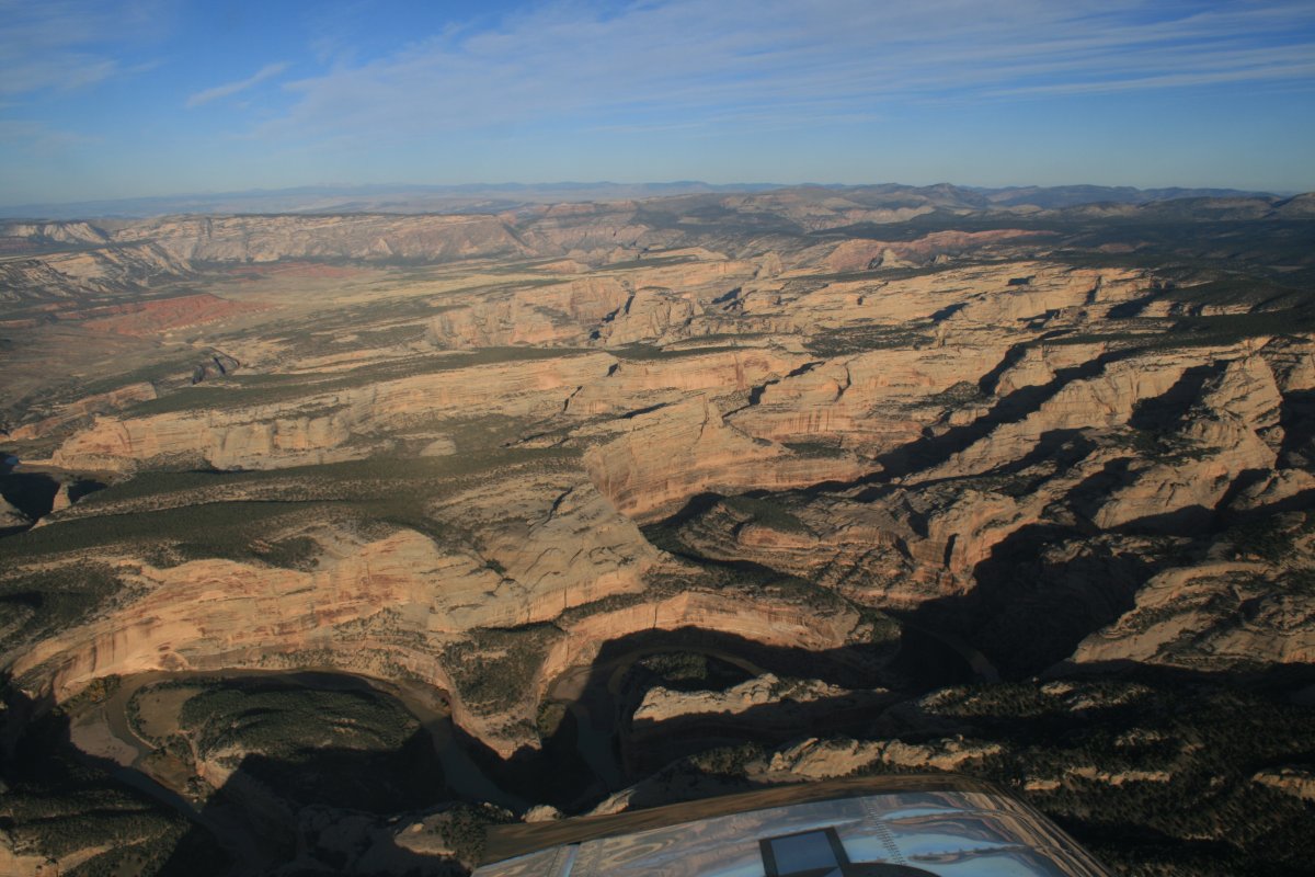
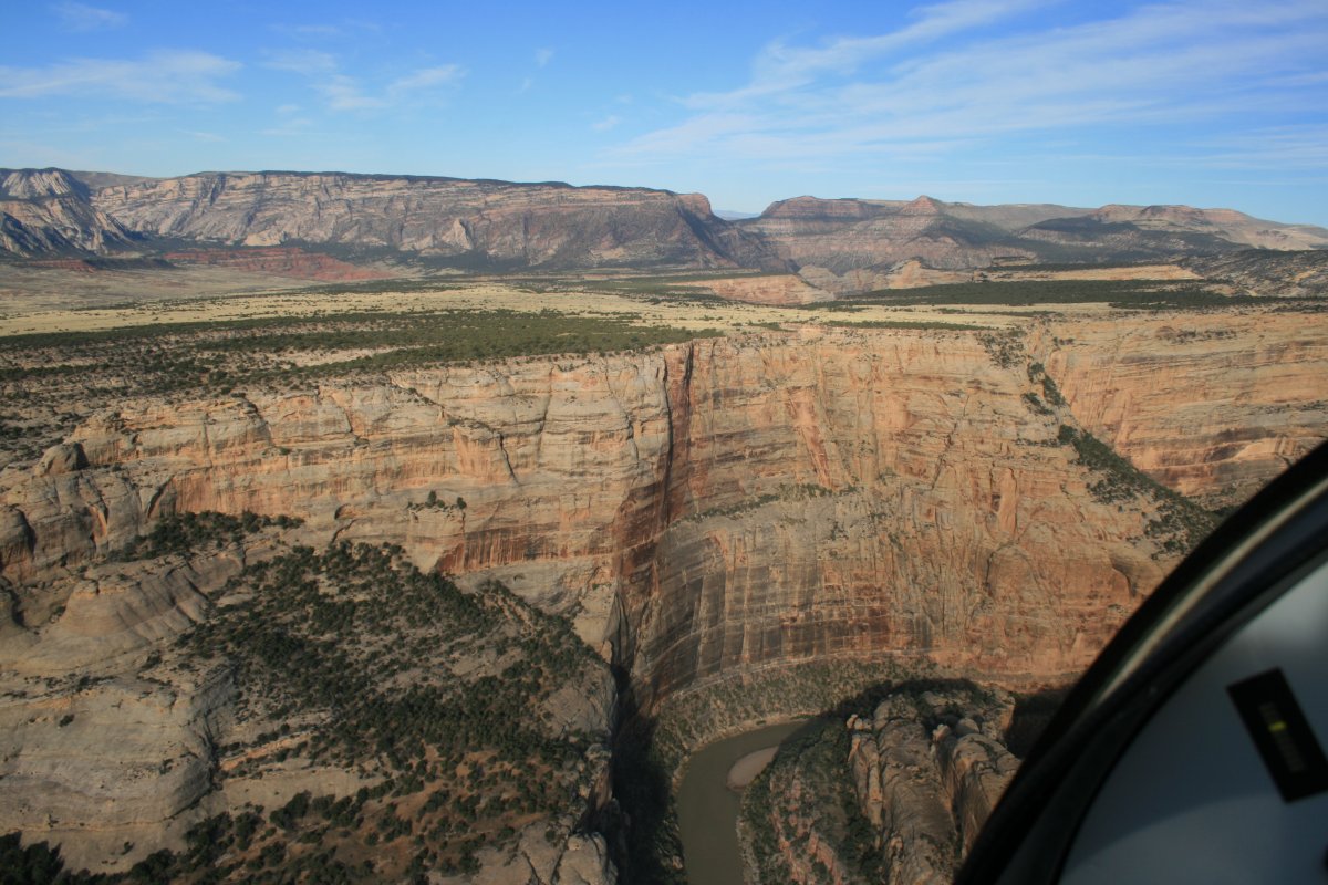
| I followed the Green River through Split Rock into the Dinosaur National Monument. I was heading into the sun but I planned to come back this way with the sun behind me. |
| |
 |
|
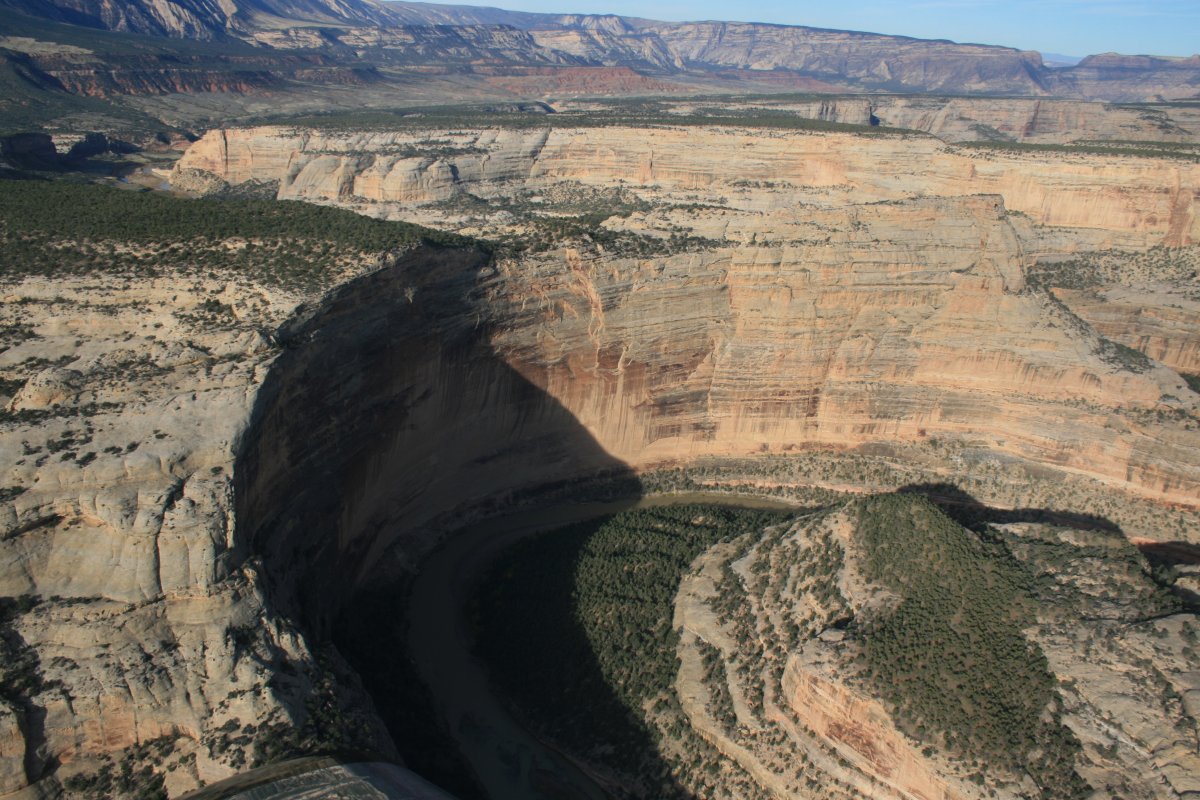
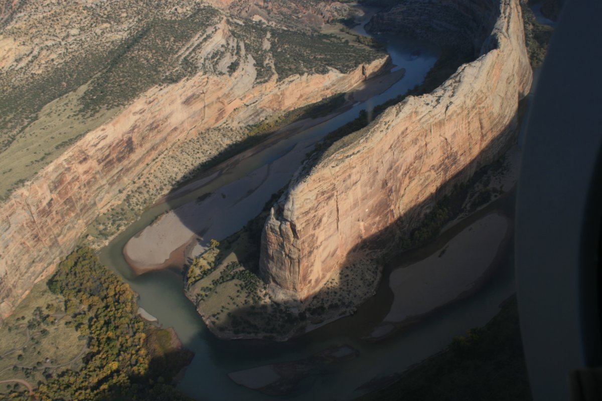
| The Green River enters Split Rock. |
| |
 |
|
|
|
| |
 |
|
|
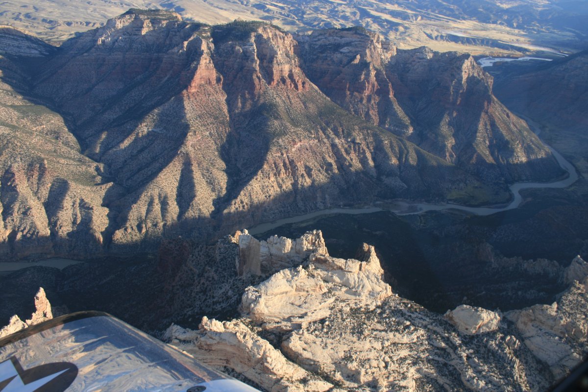
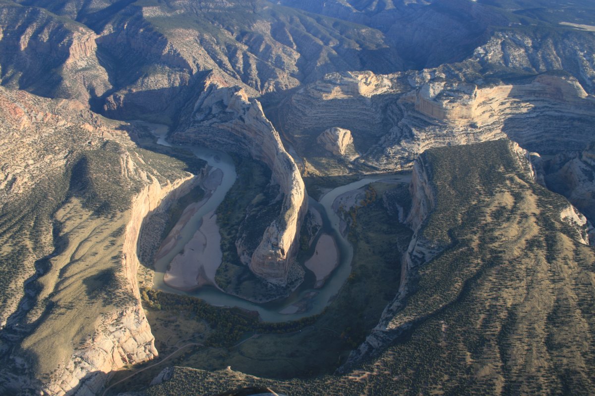
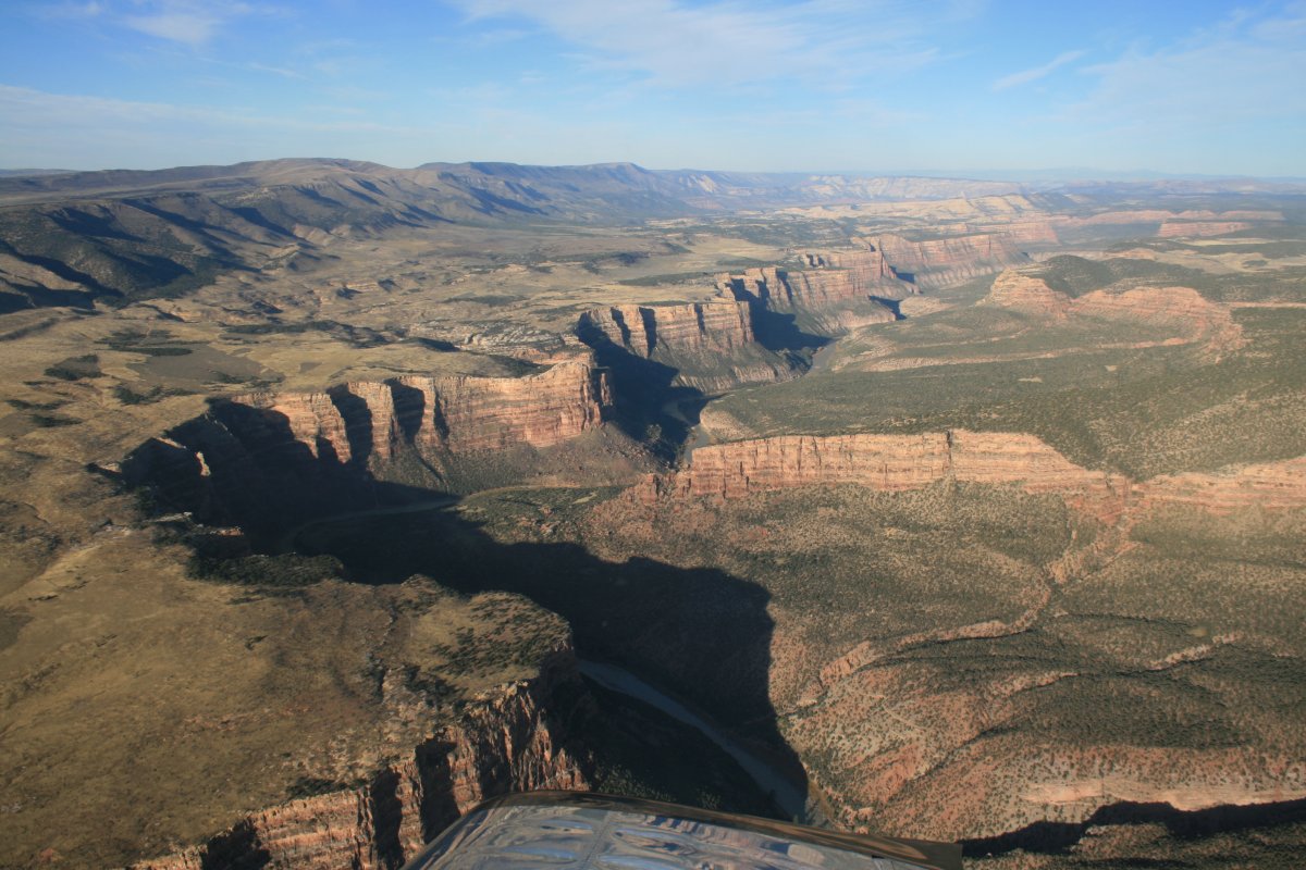
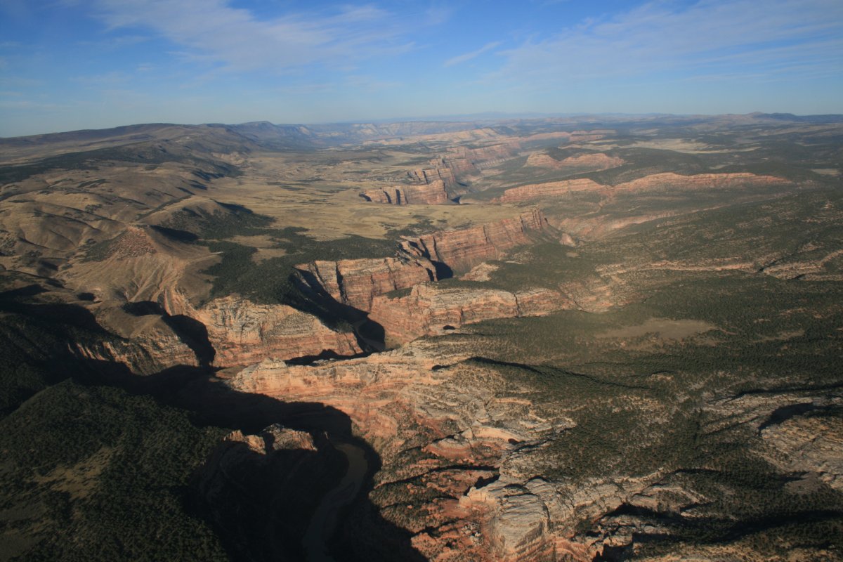
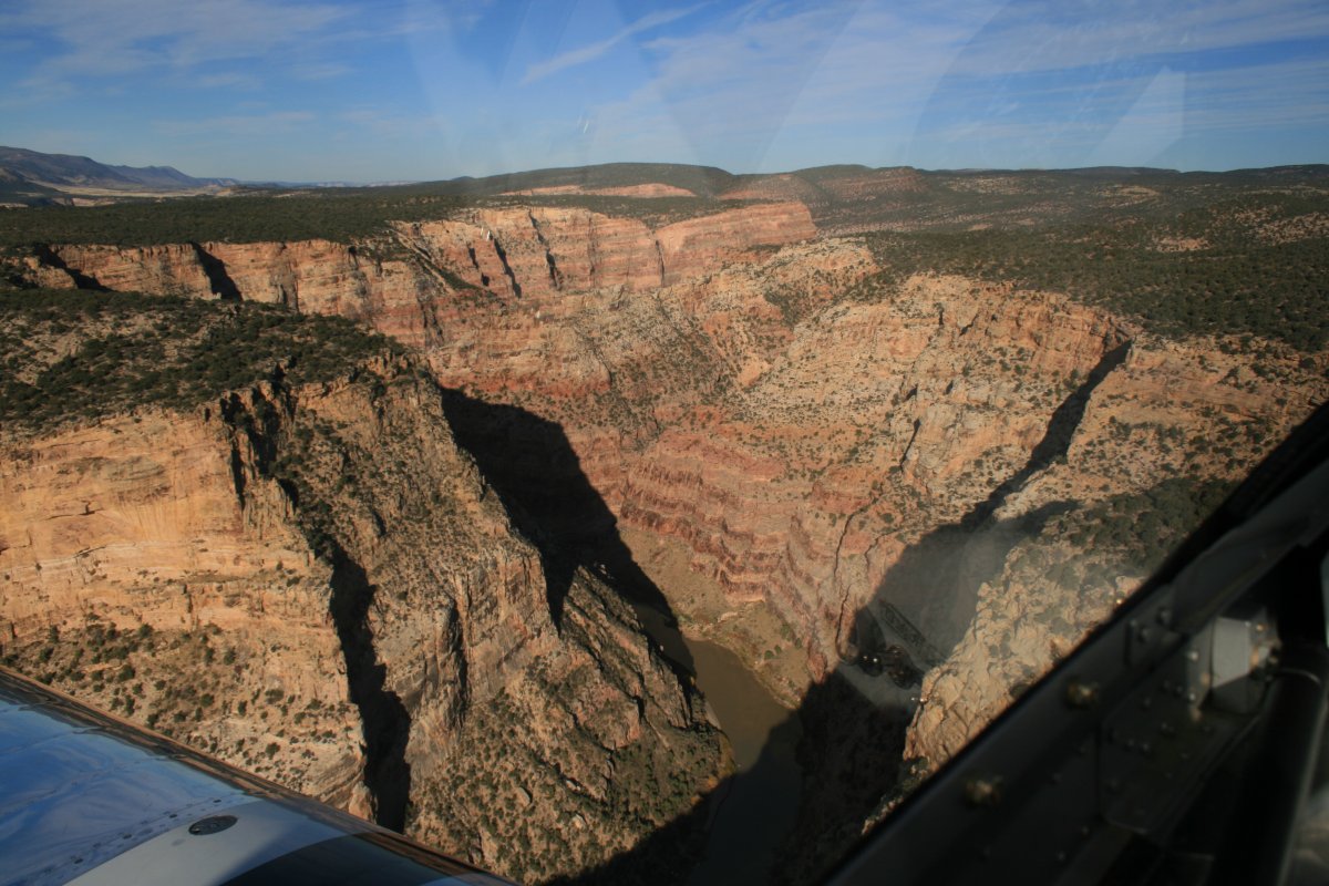
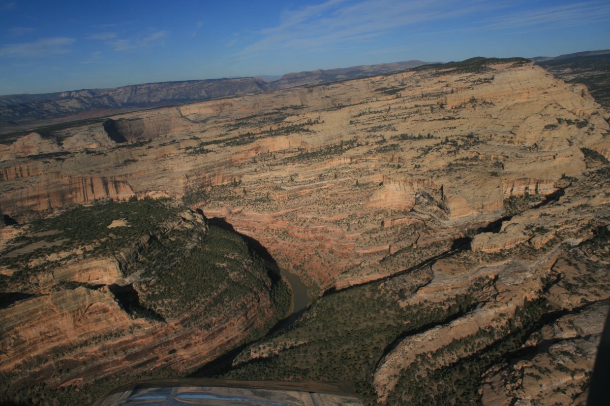
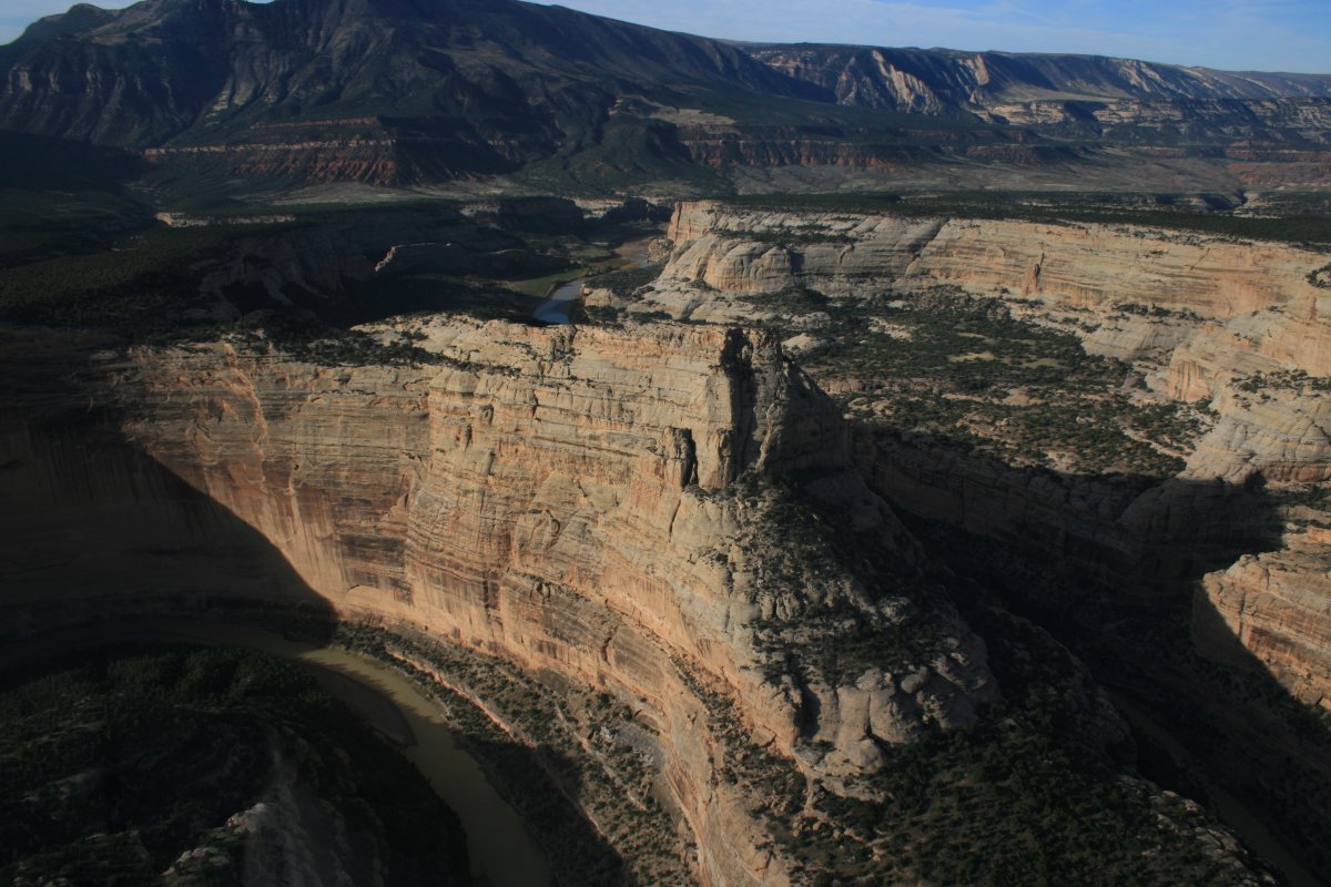
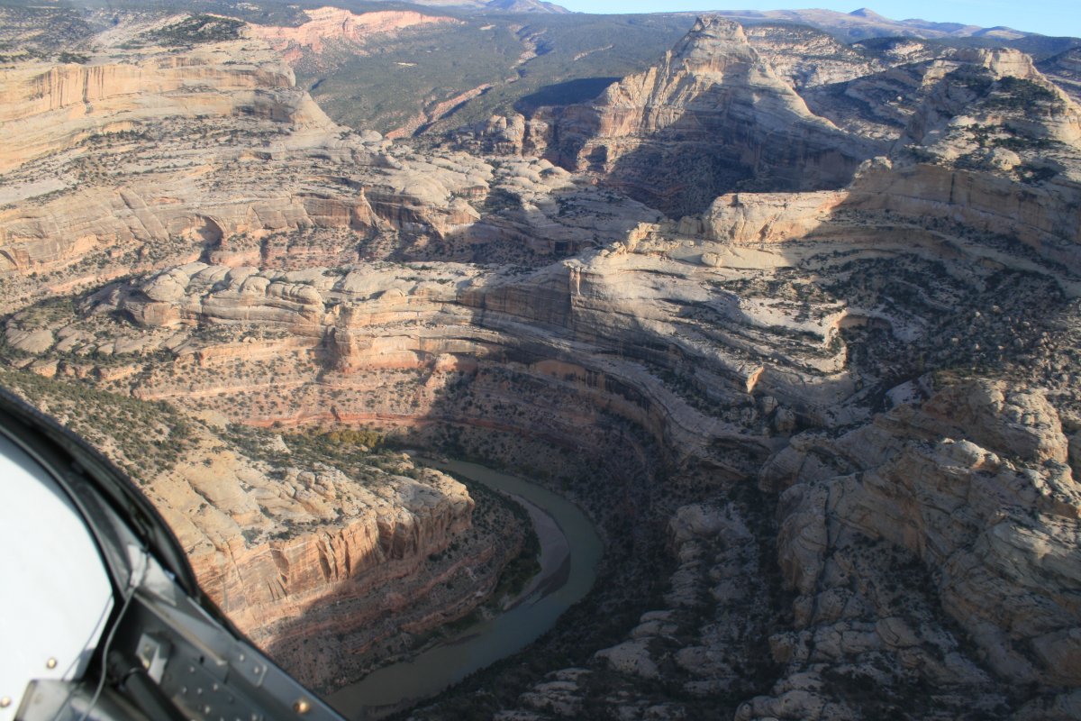
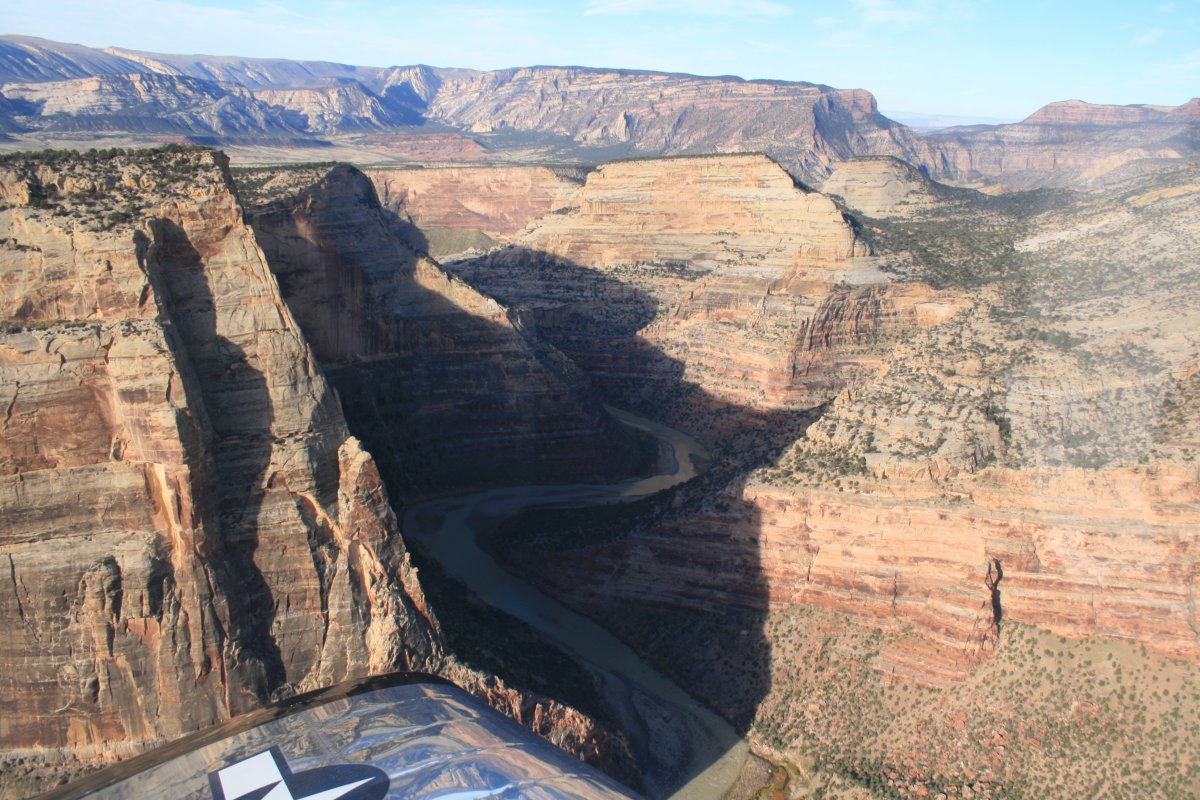
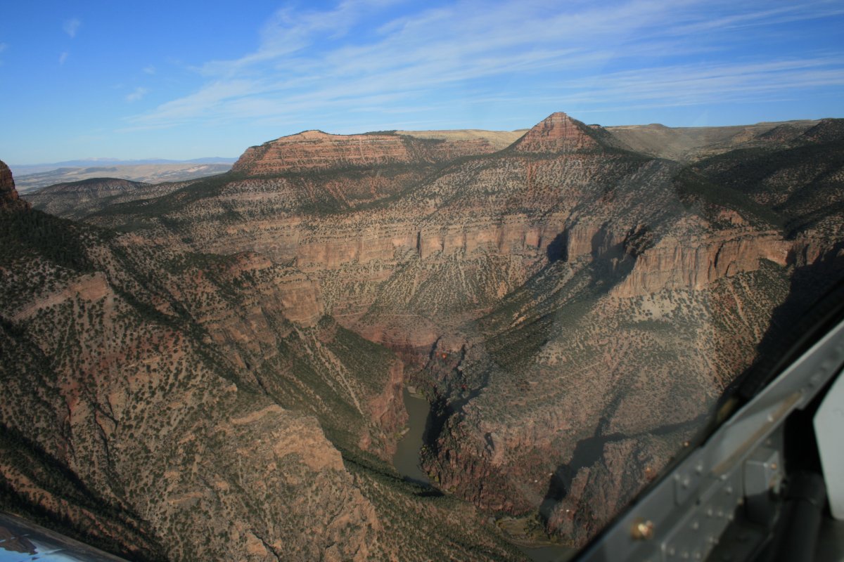
A good look at Steamboat Rock. It's had to see but just to the right of Steamboat Rock is where the Green River and Yampa Rivers join. The Green River comes from the top and is, well, green. The Yampa comes from the right (east) and is a milky white. John Wesley Powell named this entire area Echo Park.
This area almost became another reservoir like Lake Powell and the Flaming Gorge Reseroir. In the early 1950s, the U.S. Bureau of Reclamation pushed strongly for building a dam both here and at Split Rock. The fledgling conservation groups were able to stop it, but only by giving their OK to the Glen Canyon and Flaming Gorge dams. If a dam had been built here, you would only be able to see the tops of these rock formations now. What a loss that would have been. I'm glad they didn't build the dam.
|
| |
 |
|
|
Since I was heading into the sun, I'd occasionally turn 90 degrees and take a shot looking west.
|
| |
 |
|
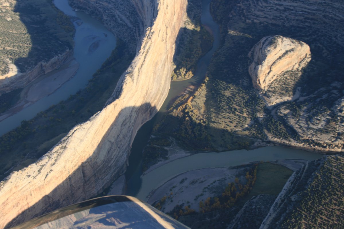
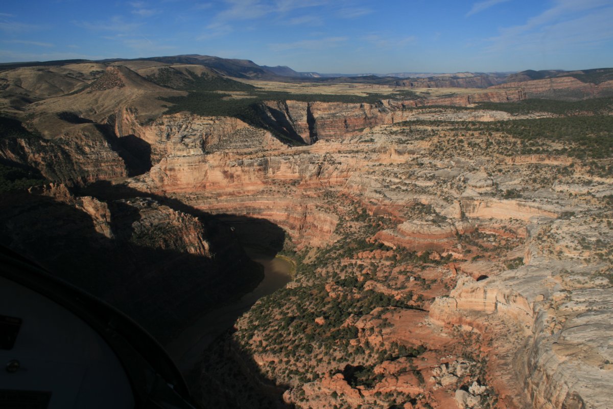
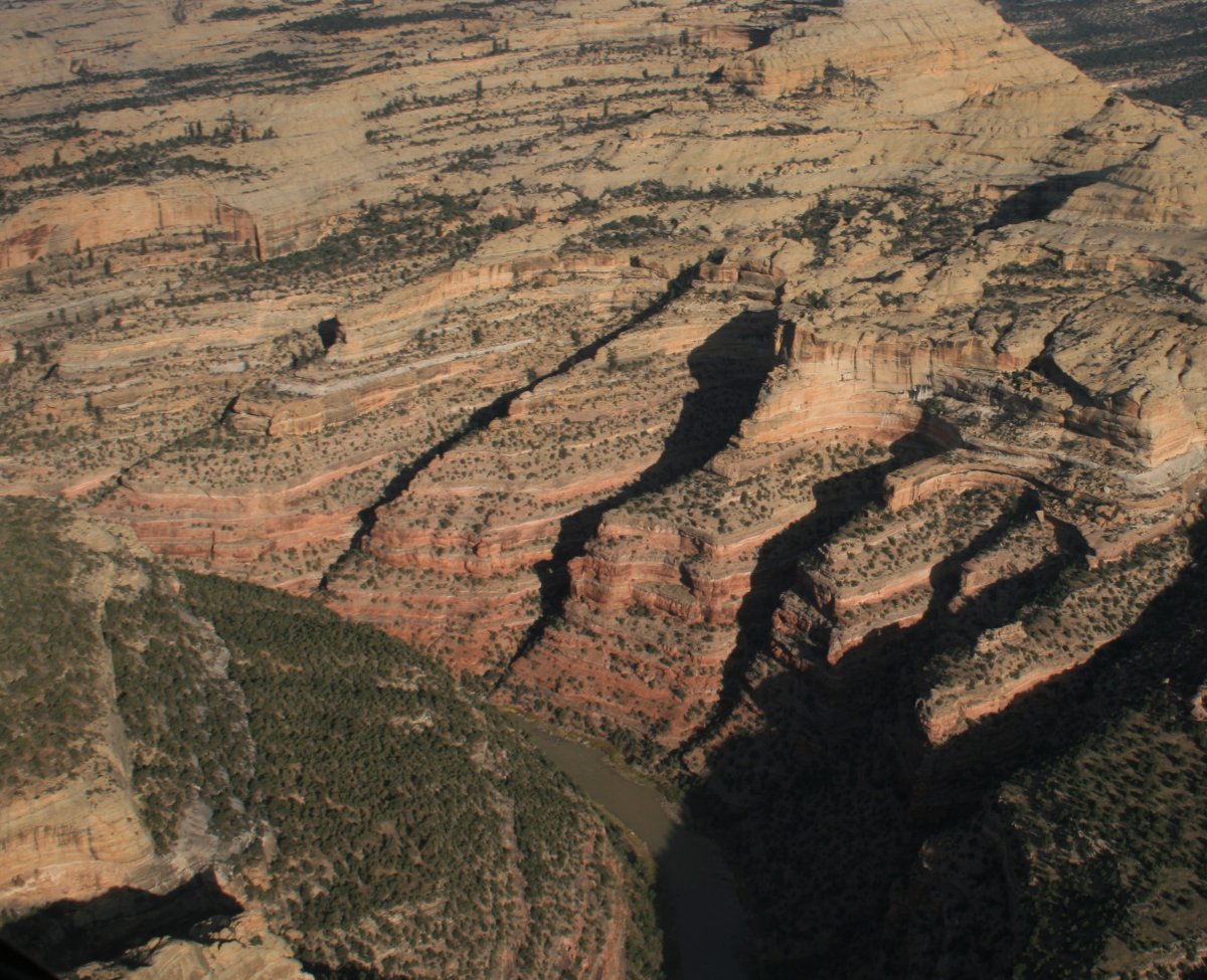
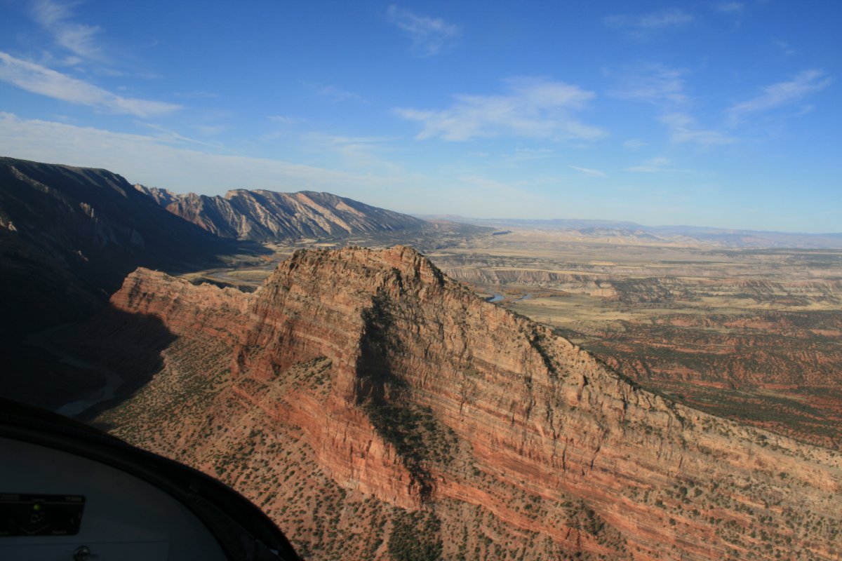
| A close-up of where the Green and Yampa Rivers join. |
| |
 |
|
| |
| |
 |
|
| |
| |
 |
|
|
|
| |
 |
|
| |
| |
 |
|
|
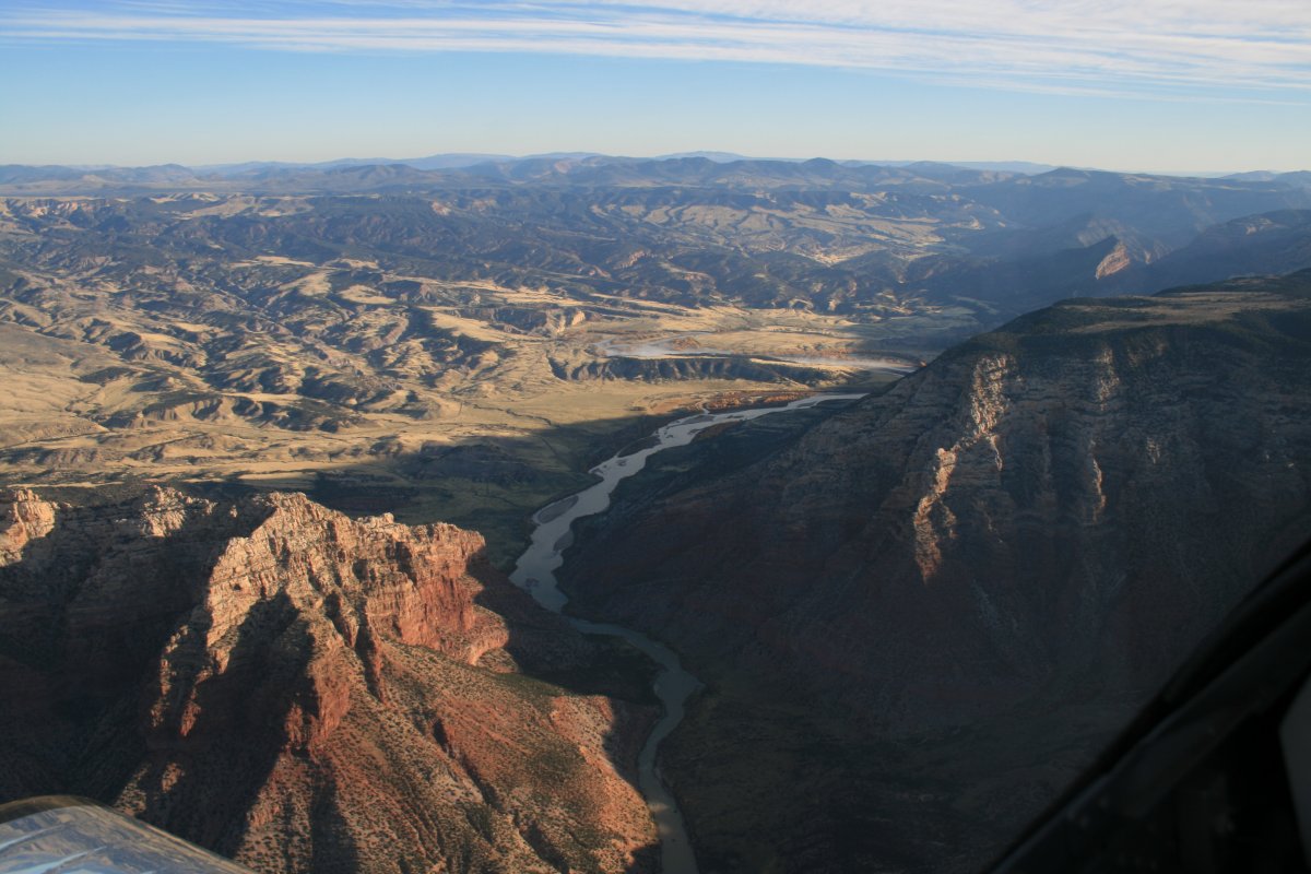
I'm now heading east, following the Yampa River.
|
| |
 |
|
| |
| |
 |
|
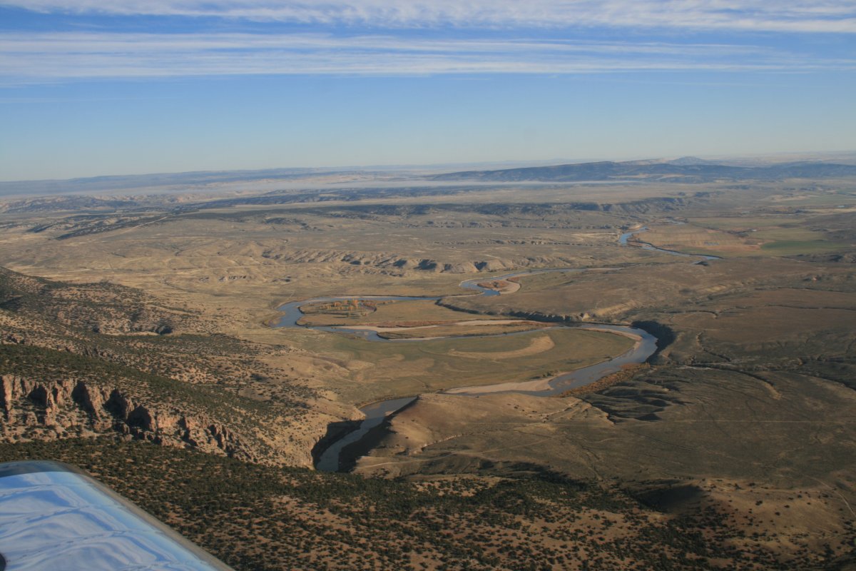
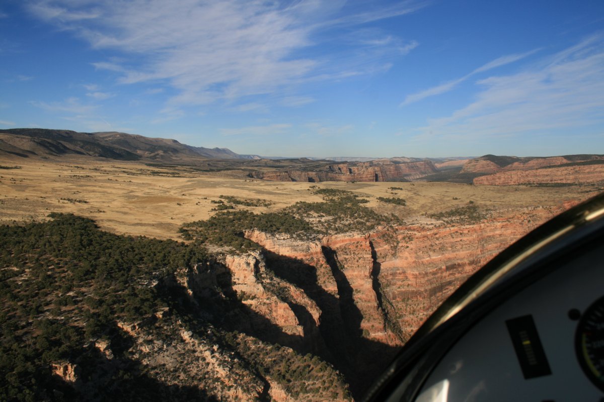
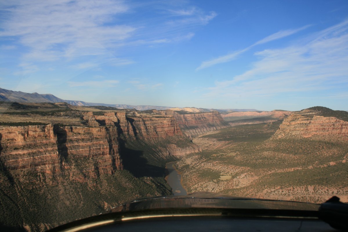
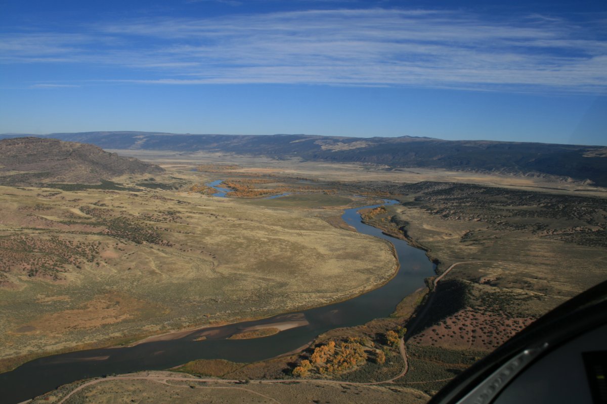
| I came out of the mountains into this big valley. |
| |
 |
|
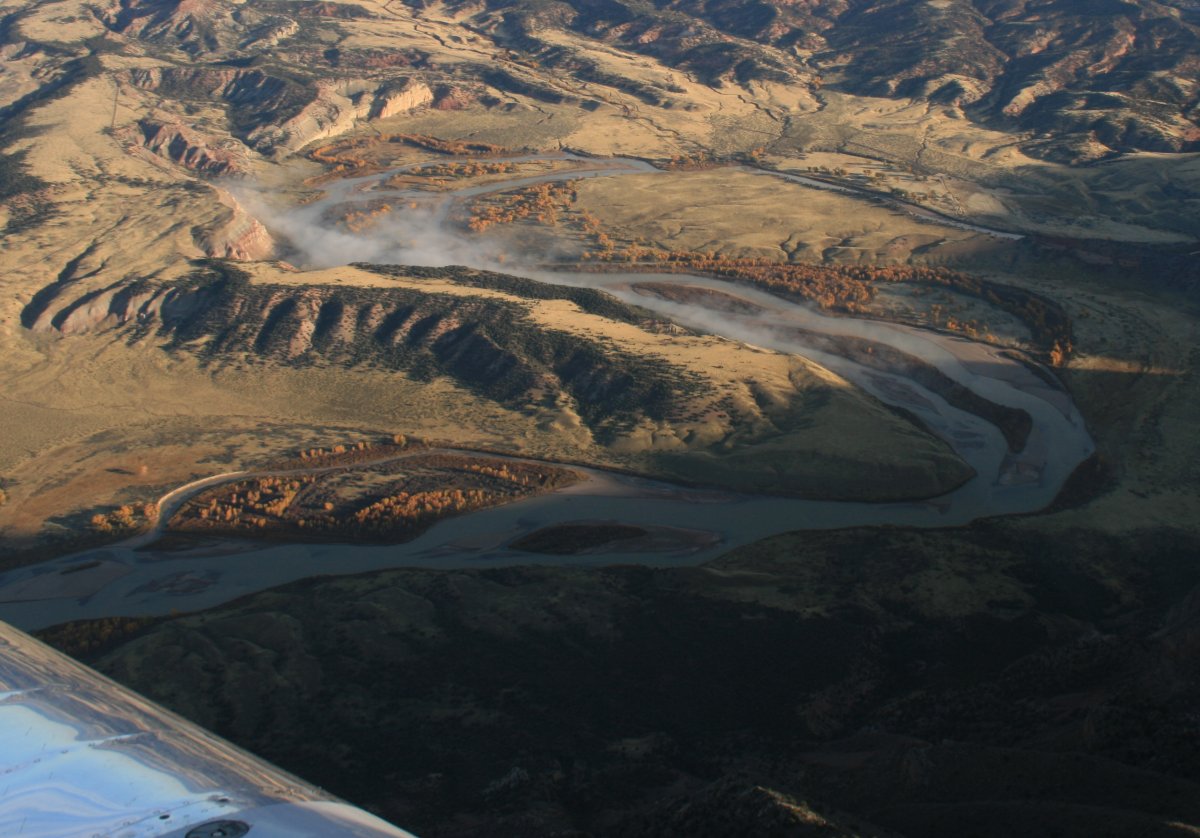
| Following rivers like this through the valley is a lot of fun so I did that for awhile before turning back into the canyons. |
| |
 |
|
|
|
| |
 |
|
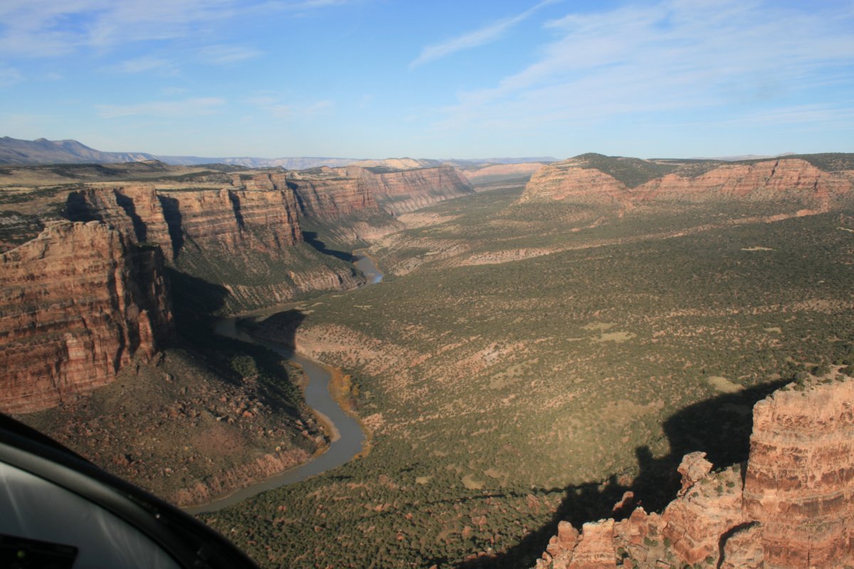
| At the end of the valley, there was one last little range for the Yampa to cut through. |
| |
 |
|
|
OK, I'm now heading west back into DNM. Let the real photography begin!
|
| |
 |
|
| |
| |
 |
|
|
|
| |
 |
|
| |
| |
 |
|
| |
| |
 |
|
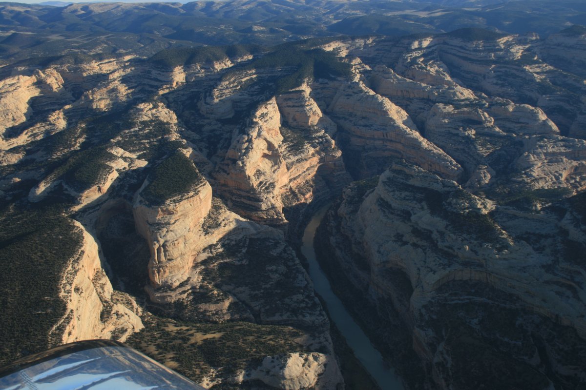
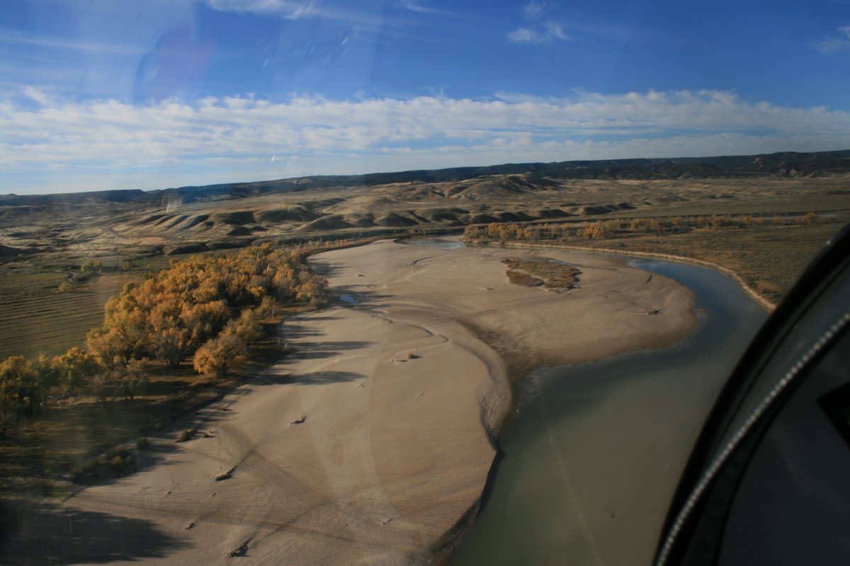
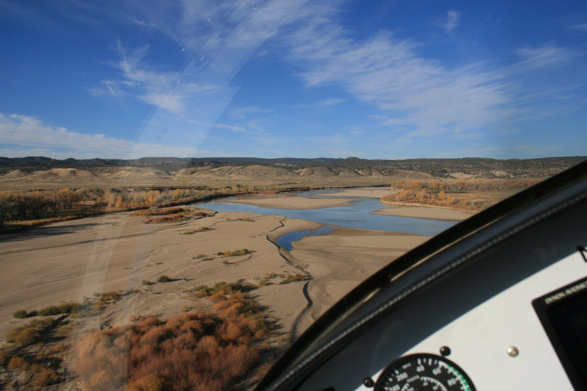
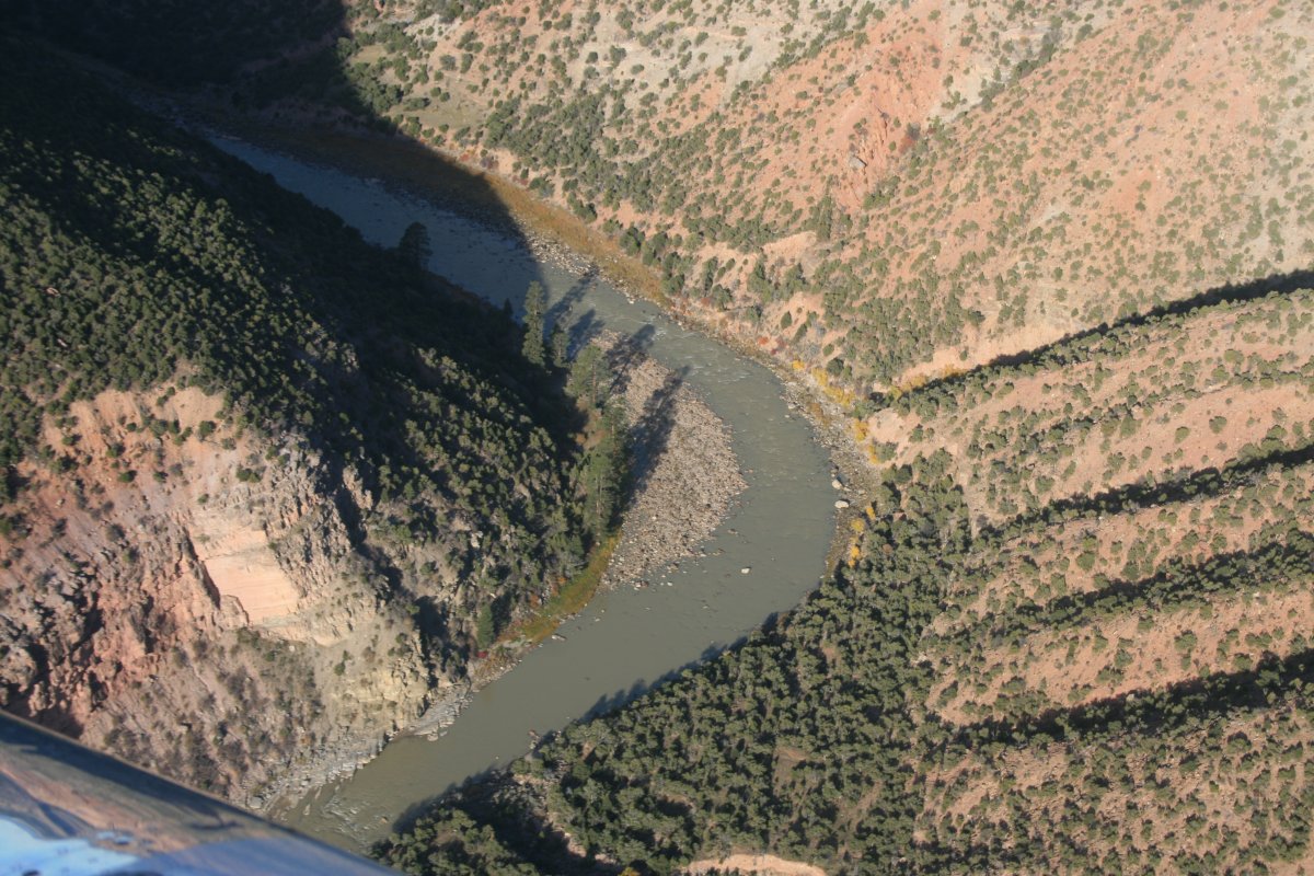
| A good look at the Yampa River. |
| |
 |
|
|
|
| |
 |
|
| |
| |
 |
|
|
|
| |
 |
|
| |
| |
 |
|
| |
| |
 |
|
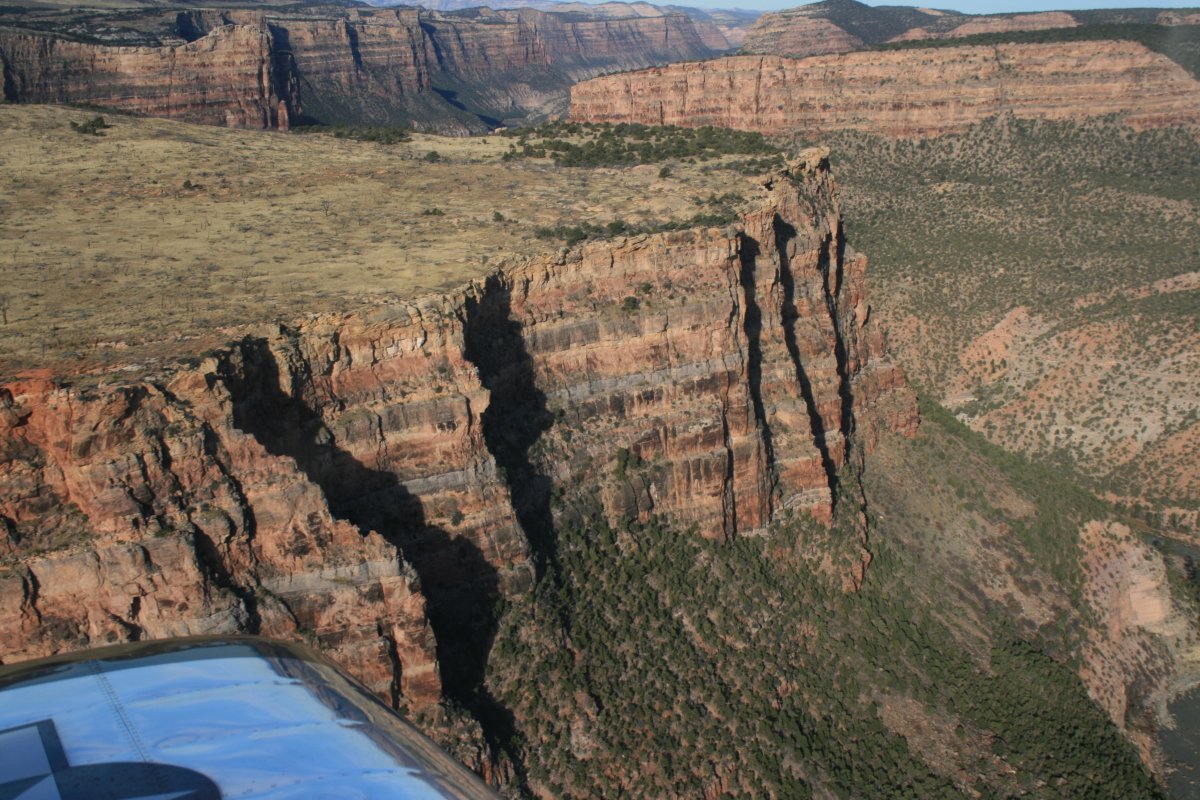
| Switchback city. |
| |
 |
|
|
Closer look.
|
| |
 |
|
| It's amazing how smooth and vertical the one side of the canyon wall is. |
| |
 |
|
|
|
| |
 |
|
| |
| |
 |
|
| |
| |
 |
|
| I briefly flew over this part two years ago and it blew me away. The white rock with speckled color was spectacular. And is again. |
| |
 |
|
| |
| |
 |
|
| And there is Steamboat Rock again. |
| |
 |
|
|
|
| |
 |
|
| Looking north up the Green River. I'll fly that part a little later. |
| |
 |
|
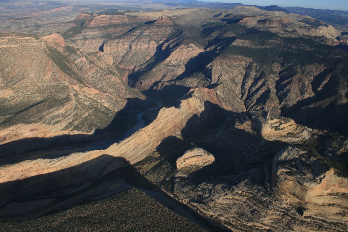
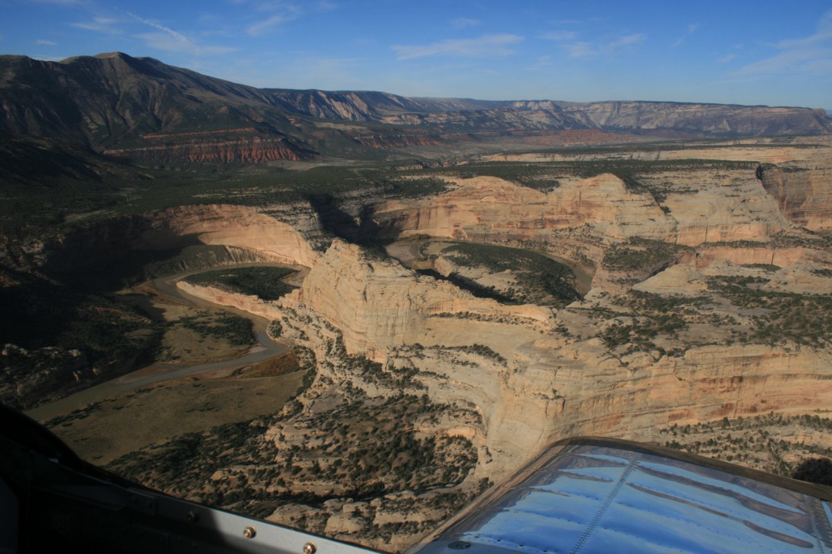
| But for now I'm following the Green River back to Split Rock. |
| |
 |
|
| |
| So I can get pictures like this! |
| |
 |
|
|
Cruising through Split Rock.
|
| |
 |
|
| Then I flew back to Steamboat Rock to start flying north up the Green River. |
| |
 |
|
|
|
| |
 |
|
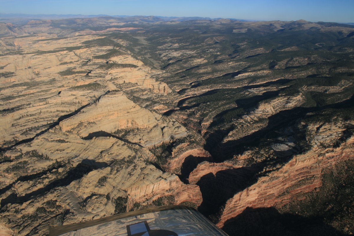
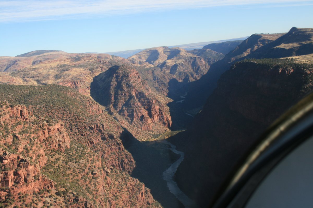
| The terrain is different in this part of DNP. More reddish, bigger mountains, not as much bare rock. |
| |
 |
|
| A big valley becomes visible ahead. The part I'm flying through right now was labeled by John Wesley Powell as the "Gates of Lodore". |
| |
 |
|
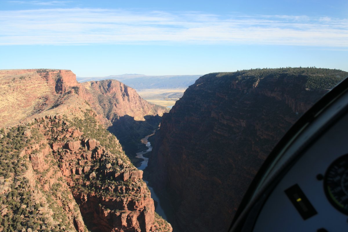
| Almost there. |
| |
 |
|
|
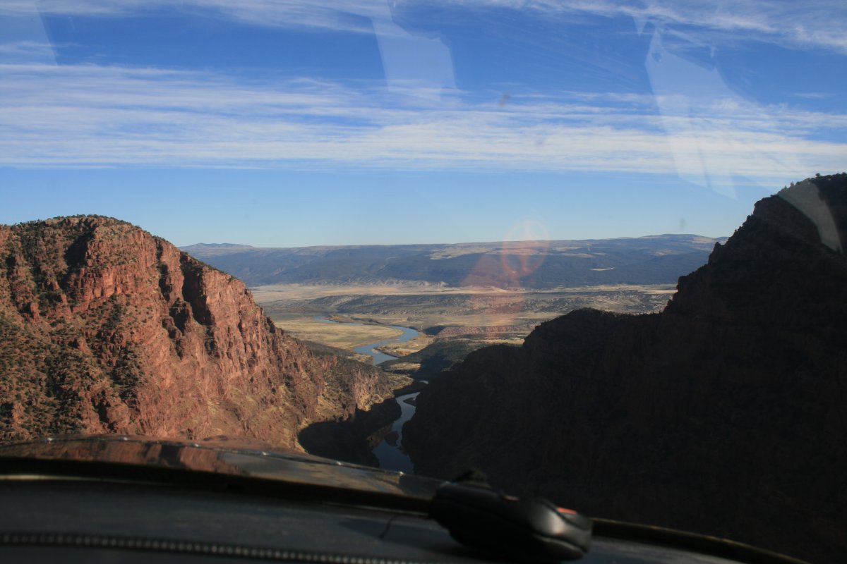
And we're out of the mountains. This valley is known as Brown's Park.
|
| |
 |
|
| |
| |
|
|
|
|
|
|